Sunbeam South Peak
Posted by Derek on Feb 19, 2017
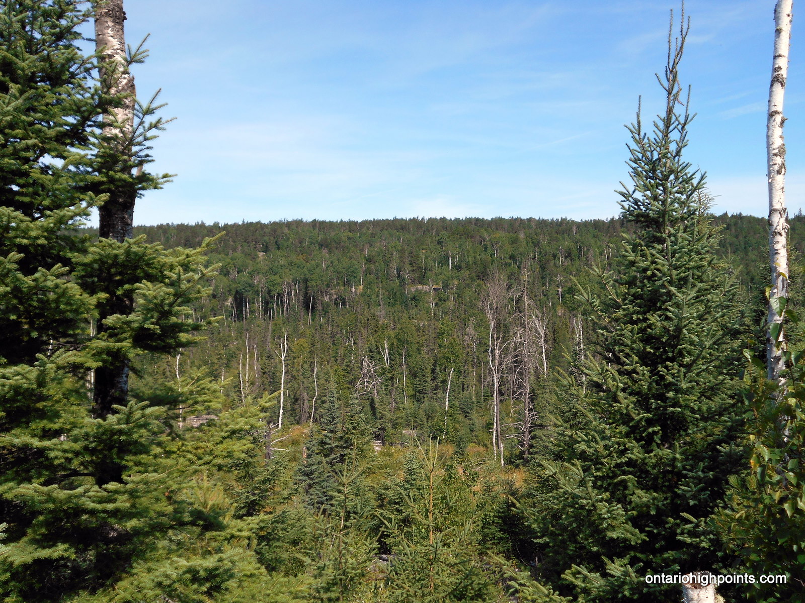
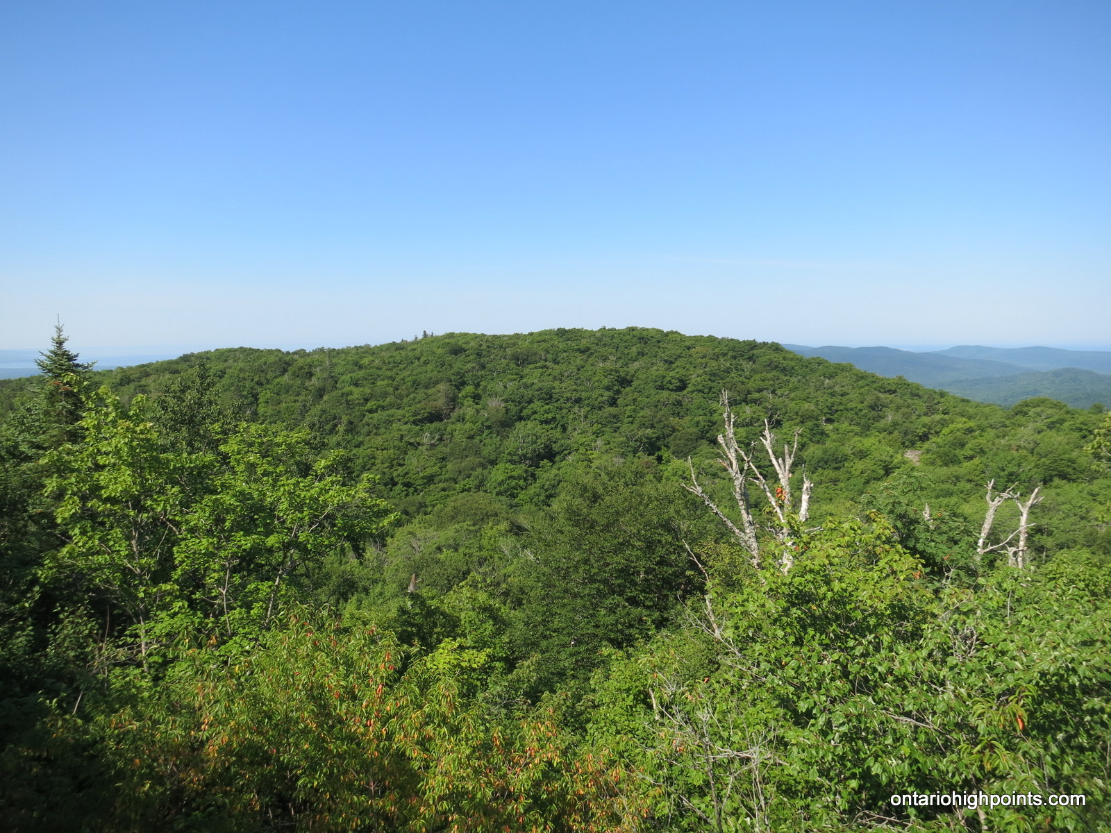
Sunbeam South Peak ridge
Lat/Lon: N48.1698 W90.4808
Clean Prominence: 384 feet / 117 meters
Line Parent: Little North Lake Peak
Key Col: N48 09.093 W90 32.926 (1739ft / 530m)
GPS recorded height: 2106 feet / 642 meters
Date Summited: July 30, 2016
Overview:
Sunbeam South Peak is a part of a group of hills located on the northwest shore of Lake Superior, not far from the city of Thunder Bay. It is located 3 km west of Addie Lake and 2 km south of Sunbeam Lake.
Head Lake Peak West
Posted by Derek on Jan 31, 2017
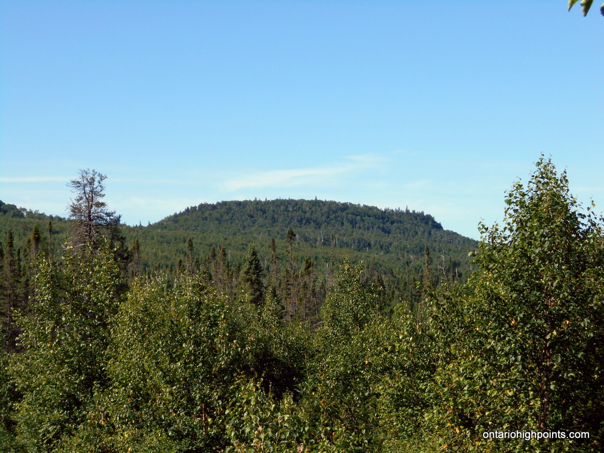
Head Lake Peak West
Height: 2133 feet / 650 meters
Lat/Lon: N48.2982 W90.1613
Clean Prominence: 262 feet / 80 meters
Line Parent: Head Lake Peak East
Key Col: N48 17.420 W90 08.780 (1870ft / 570m)
GPS recorded height: 2152 feet / 656 meters
Date Summited: July 29, 2016
Overview:
Head Lake Peak West is the westernmost peak in the Head Lake Peak grouping; 3 peaks 65 km West of Thunder Bay. The Peak is located due north of the lake from which it is named: Head Lake, 3.0 km due west of it’s higher neighbour Head Lake East Peak and 5.1 km west-southwest from Tower Mountain, which is the highest mountain in the area.
Head Lake Peak South
Posted by Derek on Jan 8, 2017
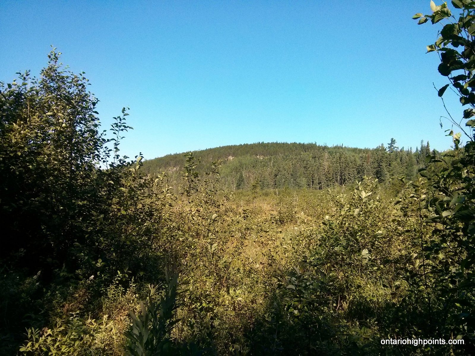
Head Lake South Peak
Height: 2133 feet / 650 meters
Lat/Lon: N48.2928 W90.136
Clean Prominence: 164 feet / 50 meters
Line Parent: Head Lake East Peak
Key Col: N48 17.659 W90 07.802 (1969ft / 600m)
GPS recorded height: 2165 feet / 660 meters
Date Summited: July 28, 2016
Overview:
The Head Lake Peaks are a group of peaks situated north of Head Lake in the hills 65 km West of Thunder Bay. Head Lake South Peak shares a ridge with it’s higher neighbour Head Lake East Peak. There are no trails to it, however an overgrown trail passes within 1 km of the summit. There are only limited views at the summit.
Tower Mountain – Revisited
Posted by Derek on Jan 8, 2017

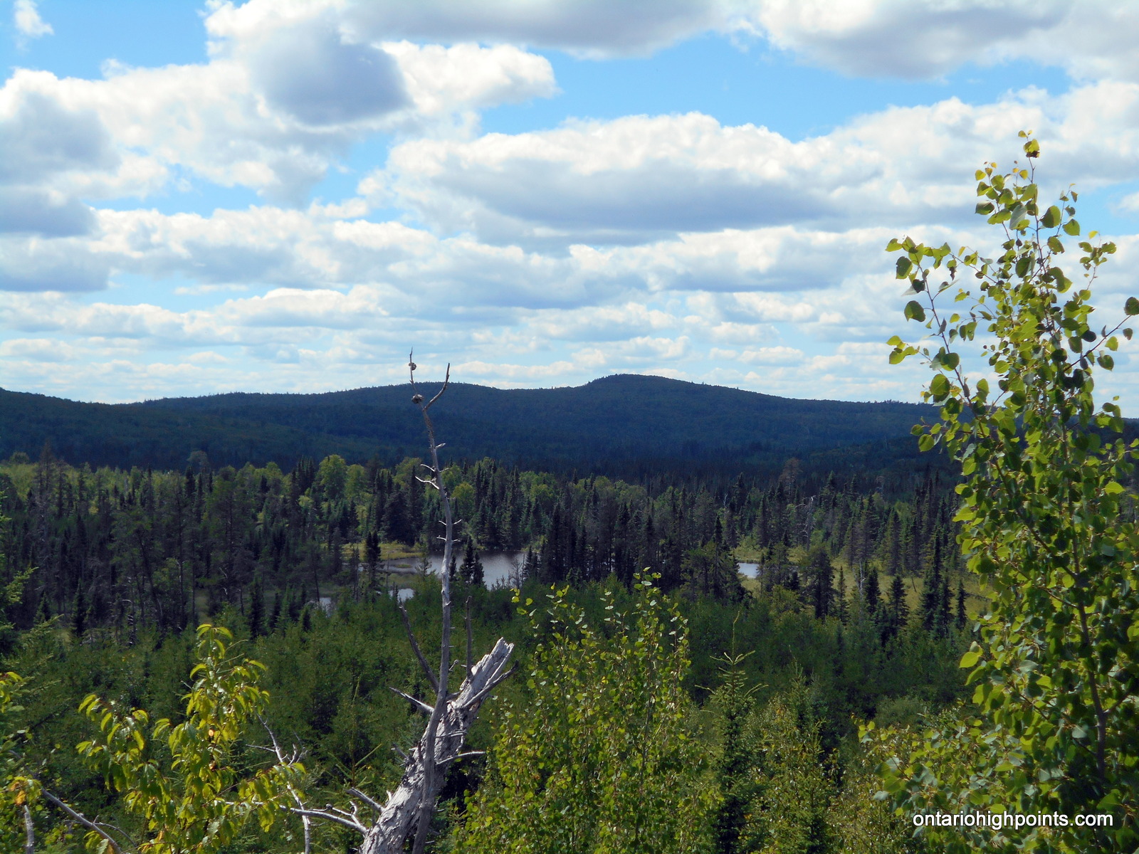
Tower Mt as seen from the road to Head Lake Peak East
Height: 2234 feet / 681 meters
Lat/Lon: N48.3074 W90.0945
Clean Prominence: 659 feet / 201 meters
Line Parent: Ishpatina Ridge (Tower Summit)
Key Col: N49 35.298 W85 41.667 (997ft / 299m)
GPS recorded height: 2260 feet / 689 m
Date Summited: July 28, 2016
Overview:
Tower Mountain is the second highest peak in Ontario. The peak is part of the range of hills on the northwest shore of Lake Superior, 45 kilometers west from Thunder Bay.
The name “Tower Mountain” is relatively new. For many years this summit was just known as a unnamed spot elevation in the “Thunder Bay Hills”. But the recent Ontario Base Map (1:20,000) published by the MNR (Ministry of Natural Resources) clearly labels the summit with its name and elevation. Ironically, the MNR seems to have forgotten that a tower was ever constructed here.
The peak is a flat-topped ridge, with steep slopes and cliffs surrounding the central plateau. The summit is a very broad flat area with lots of clearings and debris from an old tower. You can see the tower footings, the wreckage of the wooden observation box, old cables, and electrical junk lying around. There are no views at the summit, but if you make your way west for 150 meters you will come to the top of the cliffs where you’ll be able to get a nice vista of the surrounding area.
Carson Creek Peak – Revisited
Posted by Derek on Dec 13, 2016

Aldina fire tower atop Carson Creek Peak from the Boreal Road
Height: 2198 feet / 670 meters
Lat/Lon: N48.3547 W90.0132
Clean Prominence: 230 feet / 70 meters
Line Parent: Tower Mountain
Key Col: N48 20.675 W90 01.146 (1969ft / 600m)
GPS recorded height: 2264 feet / 690 m
Date Summited: July 27, 2016
Overview:
Carson Creek Peak is the fourth highest summit in Ontario. The peak is the second highest point along a ridge which runs northeast from Tower Mt. The Aldina fire tower still stands at the summit. Carson Creek Peak is the highest offroad accessed peak in Ontario.
Kenora District High Point
Posted by Derek on Oct 30, 2016
Kenora District HP
GPS recorded height: 1860 feet / 567 meters
Lat/Lon: N49 07.165 W91 17.625
Date Summited: July 26, 2016
Overview:
The title of Kenora District High Point is shared between 2 high point candidate areas who’s elevations lie within the margin of Ontario Base Map measurement accuracy. The High Points form part of the highlands located near the head waters of the Turtle and English Rivers about 27 km southwest of the small community of English River on Hwy 17. Fishing is the dominant recreational activity in the area and access to the lakes is provided by the numerous bush trails and logging roads (active logging operations active). There are no views at the High Points, but the route passes many photogenic lakes along the way.
Mount McKay
Posted by Derek on Oct 22, 2016
Height: 1585 feet / 483 meters
GPS recorded height: 1594 feet / 486 meters
Lat/Lon: N48 20.678 W89 17.183
Date Summited: July 25, 2016
Overview:
Mount McKay is the northernmost peak in a range known as the Nor’Wester Mountains. Located south of Thunder Bay, Ontario on the Indian Reserve of the Fort William First Nation, McKay was originally known as the “Thunder Mountain” (Animikii-wajiw in the Ojibwe language). The mountain is used by the Ojibwe for sacred ceremonies. A lookout exists on the lower eastern plateau at an elevation of 300 metres (980 ft), providing a view of Thunder Bay and the city’s harbour. There is a path on the southeastern face of the mountain that can be used to ascend the mountain.
Sleeping Giant – Revisited
Posted by Derek on Oct 20, 2016

Sleeping Giant seen from Thunder Bay
Height: 1847 feet / 563 m
GPS recorded height: 1850 feet / 564 meters
Prominence: 1247 feet / 380 m
Lat/Lon: N48 21.026 W88 53.932
Date Summited: July 25, 2016
Overview:
The Sleeping Giant is a formation of mesas and sills on Sibley Peninsula which resembles a giant lying on its back when viewed from the West to North-Northwest section of Thunder Bay, Ontario, Canada. When measured from the elevation at Lake Superior (600 feet) to the highest point (1847 feet), The Sleeping Giant has the highest vertical rise in Ontario (1247 feet). The most popular destination on the Sleeping Giant is the Chimney Lookout on the Knees which overlooks Lake Superior and spectacular rock formations. The highest point is on the Chest and it is 600 m away from the Chest Trail which leads to the Nanabosho Lookout. The highest point along the trail system is along this trail, just a 100 m from the lookout.
Labelle Lake Peak
Posted by Derek on May 24, 2016
Height: 1598 feet / 487 meters
Lat/Lon: N46 42.478 W81 07.839
Date Summited: May 22, 2016
Overview:
Located in the region of Greater Sudbury, Labelle Lake Peak was once home to both a ski hill and the Lumsden fire tower. Today, the only reminders of these structures are the rusted remains of the ski lifts and the deteriorated footings of the fire tower. It’s a short trek from Nelson Lake Road to the summit which provides an excellent vista of the Sudbury Basin.
King Mountain
Posted by Derek on Nov 12, 2015
King Mt. West Peak
GPS recorded height: 1912 feet / 583 meters
Lat/Lon: N46 47.394 W84 19.159
Date Summited: July 27, 2015
Overview:
Rising 1000 feet above the Goulais River Valley, King Mountain was once the location of a fire tower that was part of Ontario’s forest fire detection network. Although not the highest point along the ridge on which it sits (A hump further east at N46 47.857 W84 17.055 is slightly higher), the peak is the principle destination in the area. This is due to the extensive ski and snowshoe trail system in and around the peak and it’s close proximity to Sault Ste Marie. In the winter, the cross-country ski and snowshoe trails are groomed and maintained by the owners of Stokely Creek Lodge; in the summer, although the Lodge is usually closed, the trails are open and free to use for hiking.