Kwagama Hill – Winter Ascent
Posted by Derek on Apr 9, 2014
Height: 2093 feet / 638 meters
Lat/Lon: N47.4147 W84.5589
Clean Prominence: 978 feet / 298 meters
Line Parent: Blackspruce Lake Peak
Key Col: N47 36.949 W84 31.633 (1115ft / 340m)
Overview:
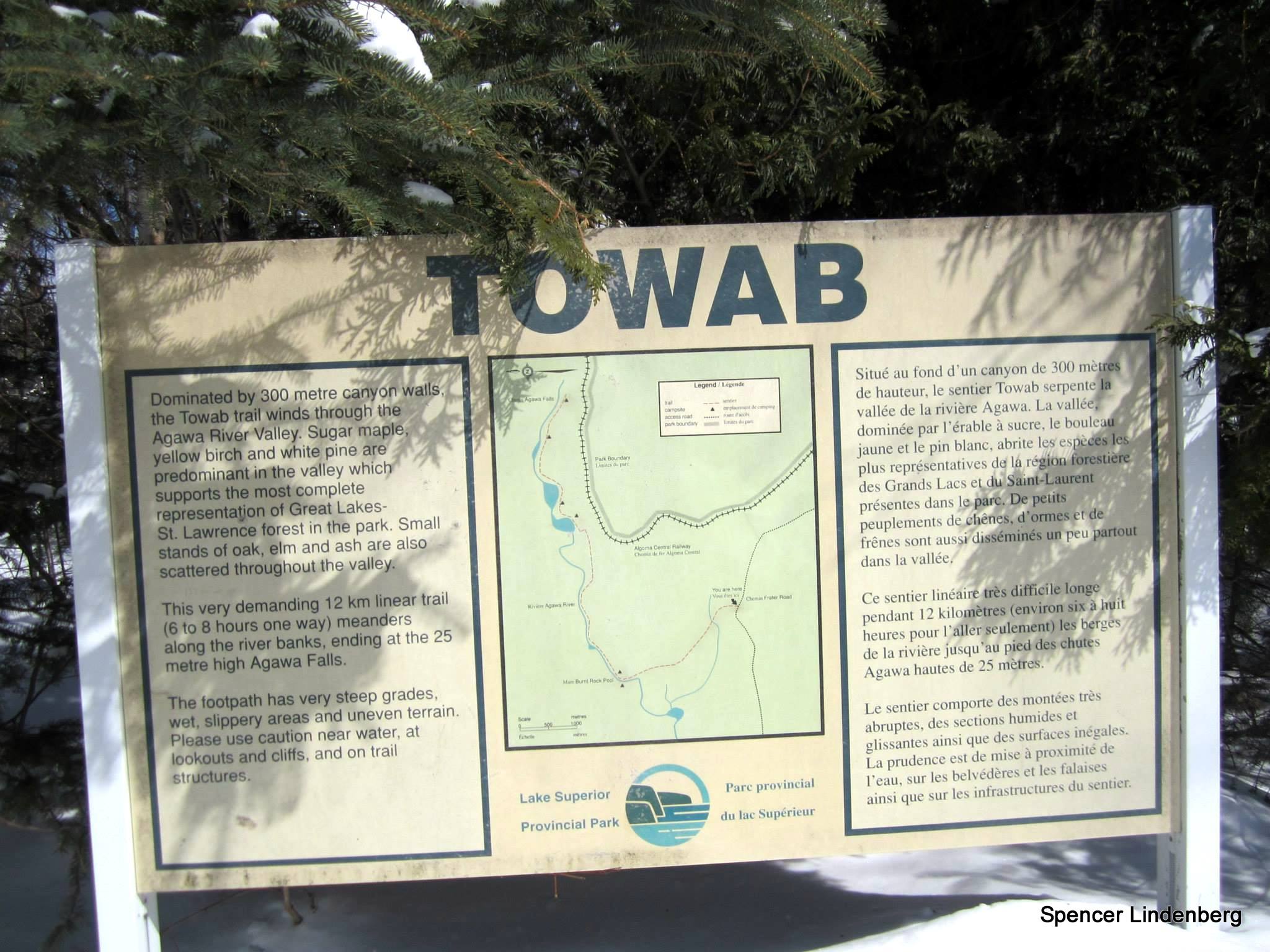
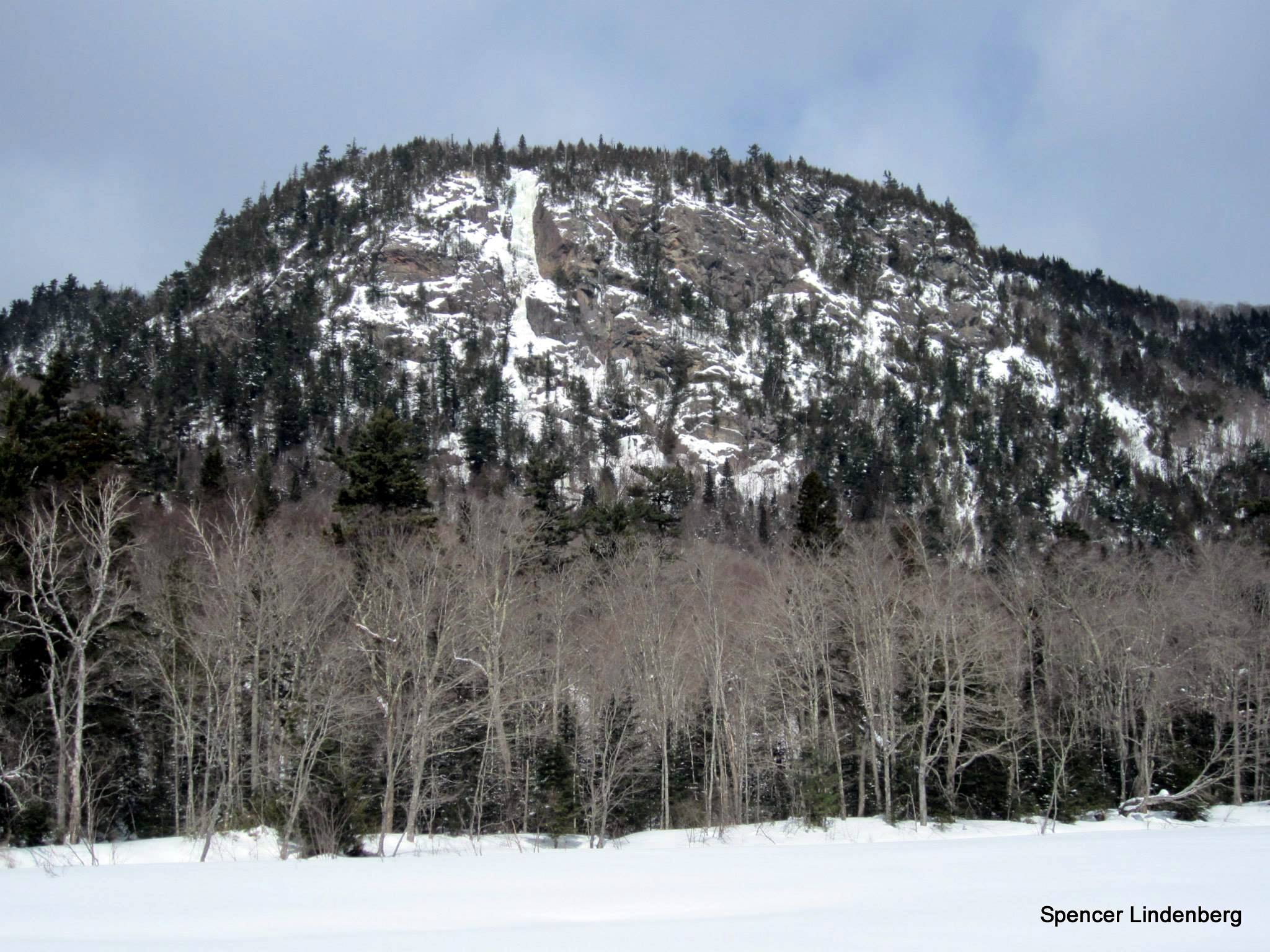
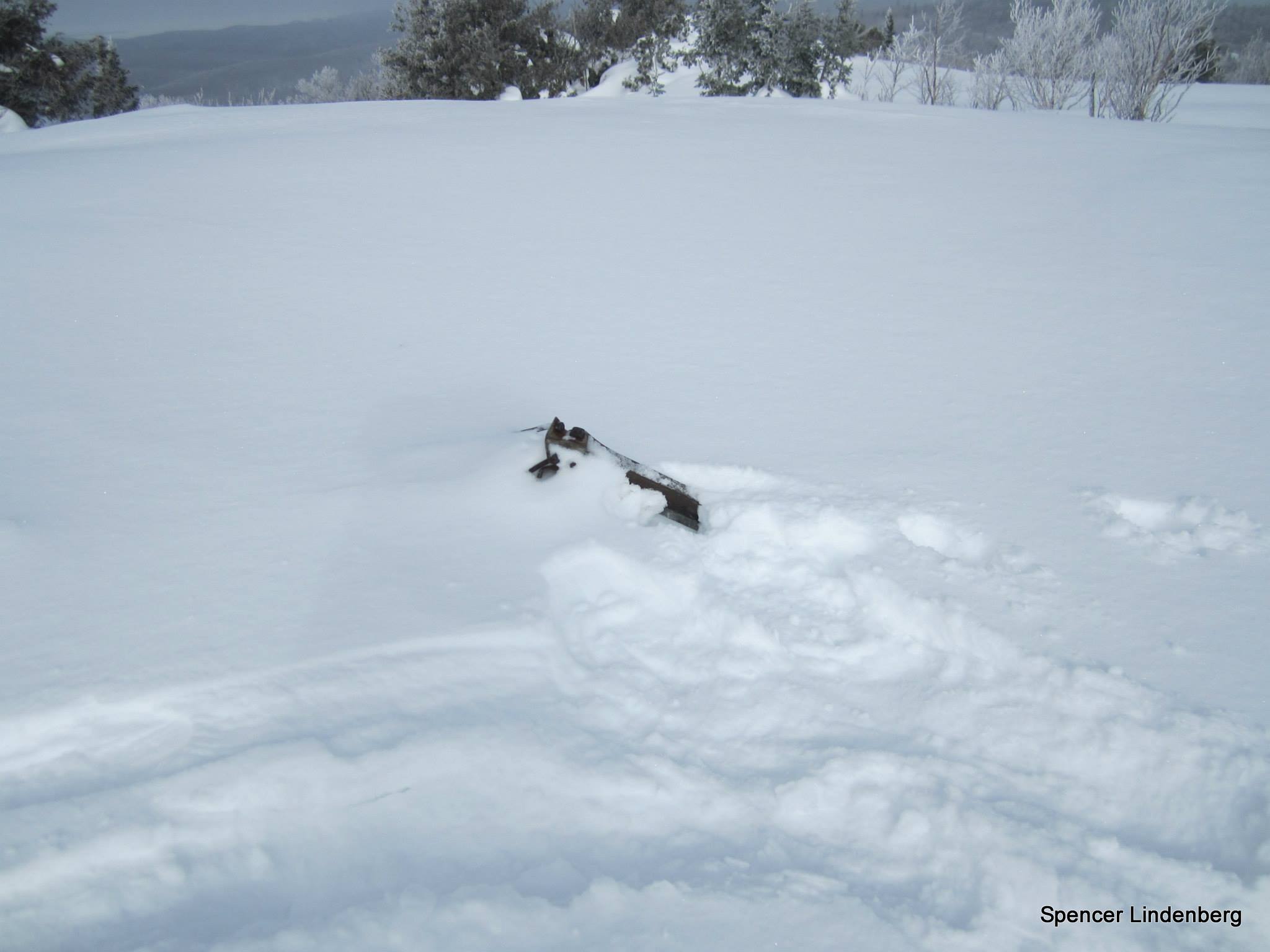
Kwagama Hill is a mountain 6 km due west of the popular Algoma tourist attraction: The Agawa Canyon, which is serviced by the Agawa Canyon Train Tour out of Sault Ste Marie. The area is fairly popular for backcountry excursions and because of this, there occasional trips up Kwagama Hill. There was a fire tower on the summit of the peak, however it was knocked down in a wind storm many years ago. The twisted metal remains are still visible today. The summit of Kwagama Hill affords outstanding views including west to Lake Superior.
Guest Trip Report by Spencer Lindenberg:
Dates: March 23-24, 2014
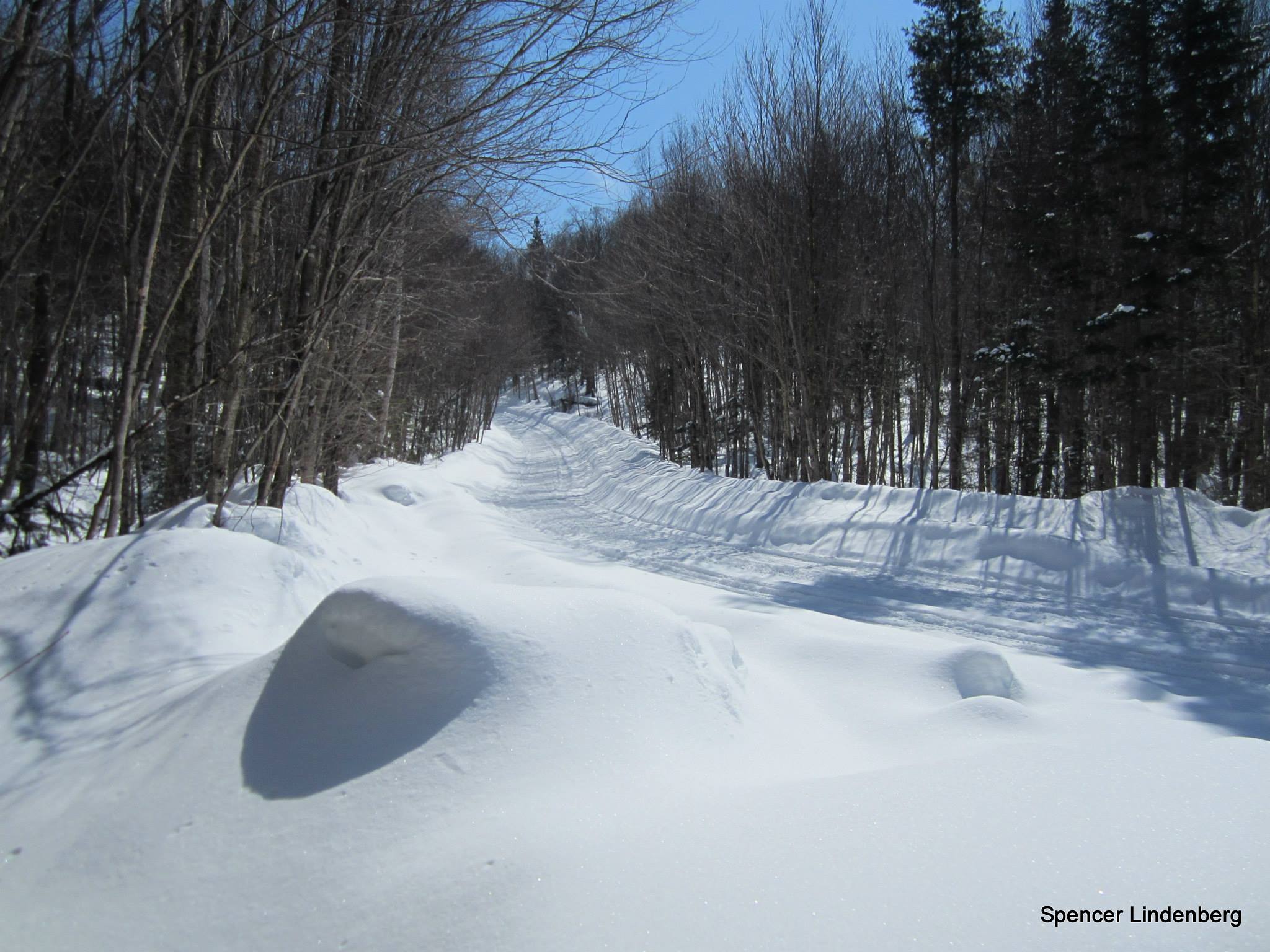
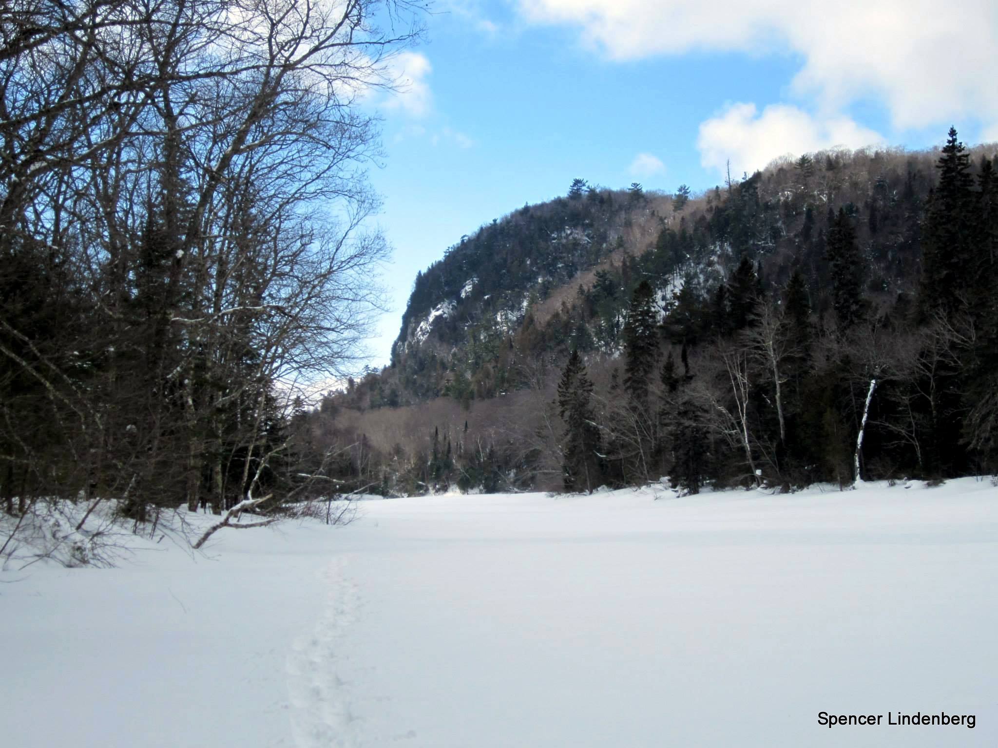
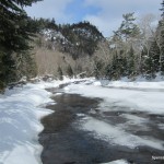
I parked my car on Frater Road just feet from the Trans-Canada and started hiking up the road around noon on Sunday, 3/23. I strapped on my snowshoes upon reaching the Towab Trail and began the gradual descent towards the Agawa River. The trail hadn’t seen traffic for at least a week, as a decent amount of fresh snow covered the most recent human tracks. Upon reaching the Agawa at Burnt Rock Pool, I found the going easier on the river itself as opposed to staying on the trail. Besides a few sporadic spots of open, flowing water, which were easily bypassed, the river was entirely frozen over and snow-covered.
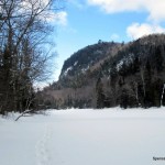
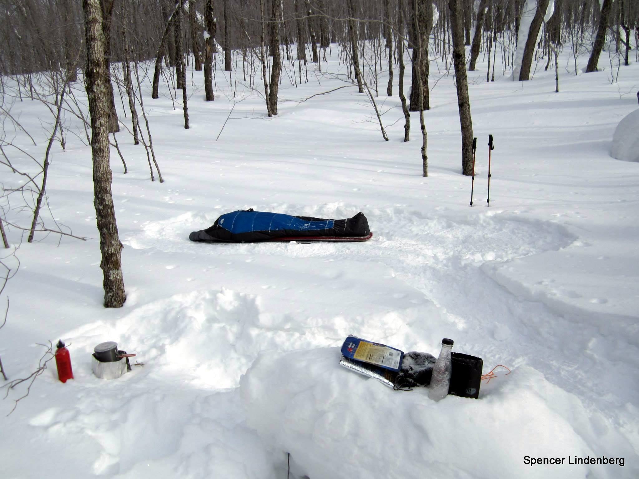
I walked on the river until reaching the drainage near N47 22.929 W84 32.773. The creek joins the Agawa along its north bank and was pretty easy to spot. The steep section that begins as the creek turns northwards was pretty tough on snowshoes, and my pace slowed significantly. The undergrowth wasn’t terribly thick, but it did require a weaving path, avoiding smaller cedars and hemlocks. That section might be pretty annoying if you attempted to hike it during warm weather. After the incline leveled out, widely-spaced hardwoods dominated for most of the way until reaching the base of Kwagama. I crossed the (frozen) stream that runs east-west at the southern base of the hill and camped not too far above after finding a decently level spot.
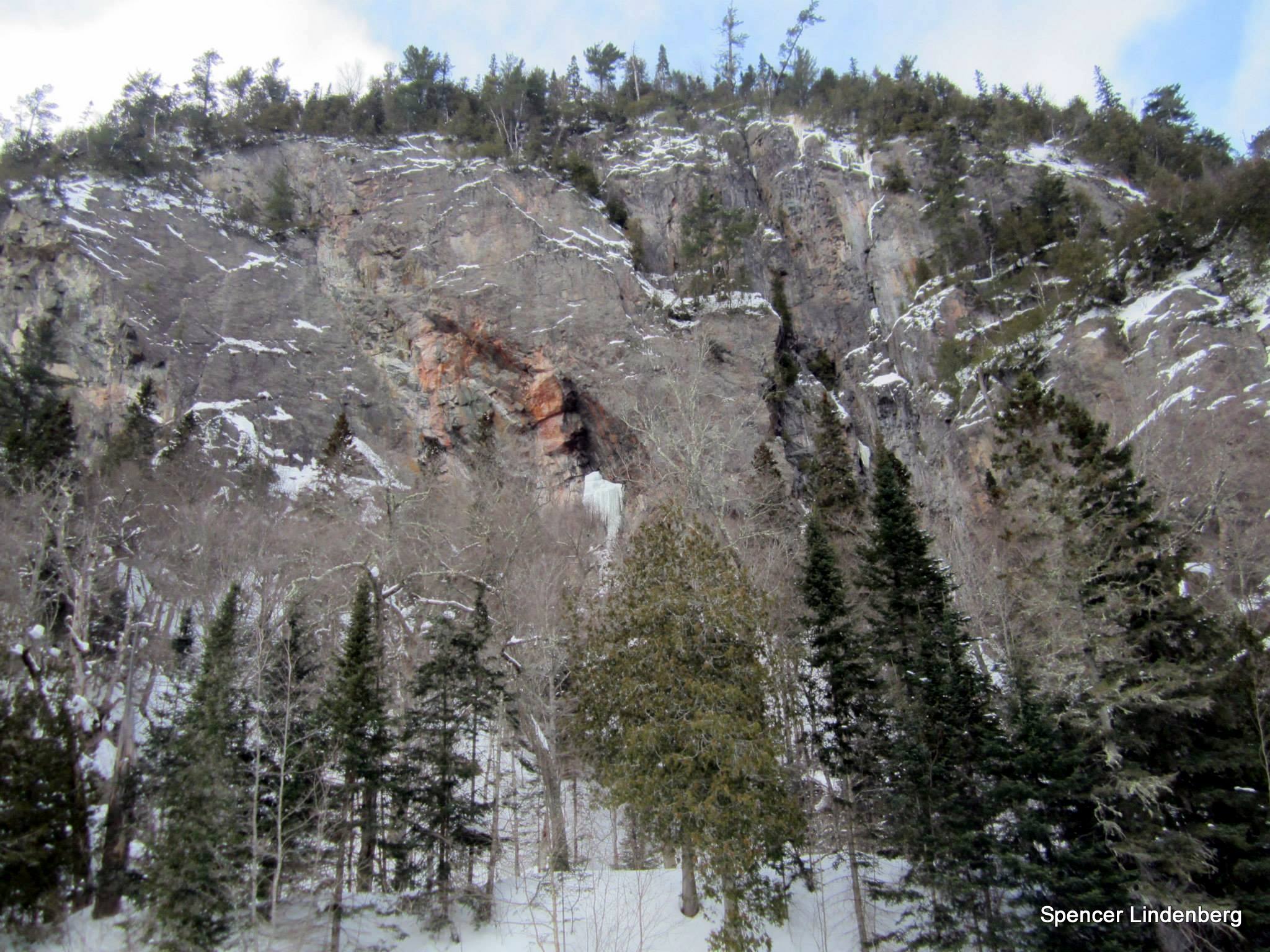
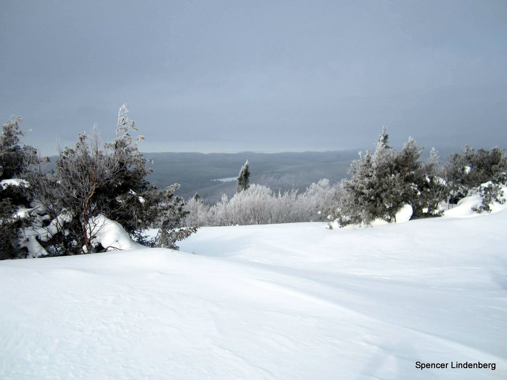
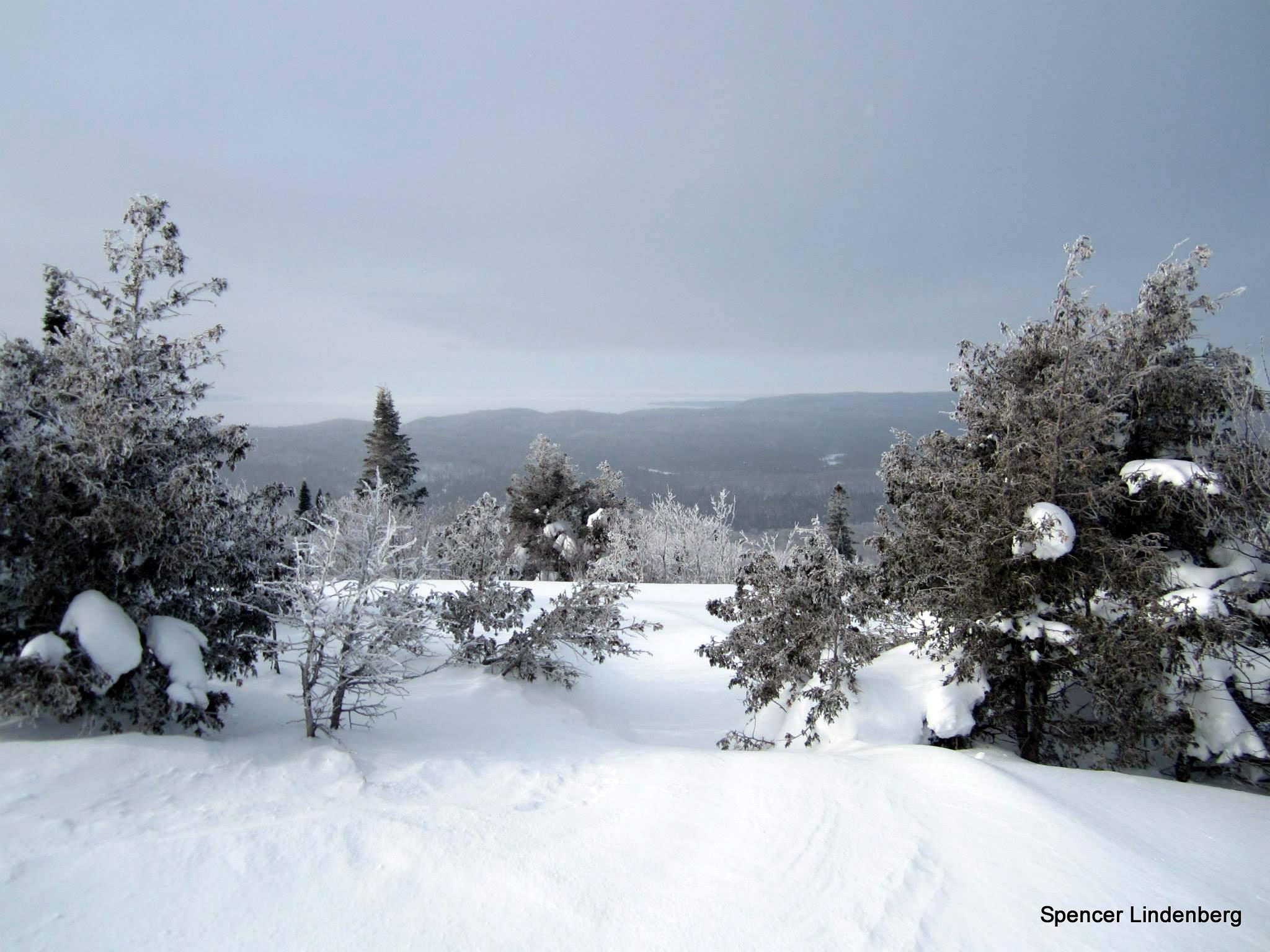
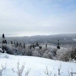
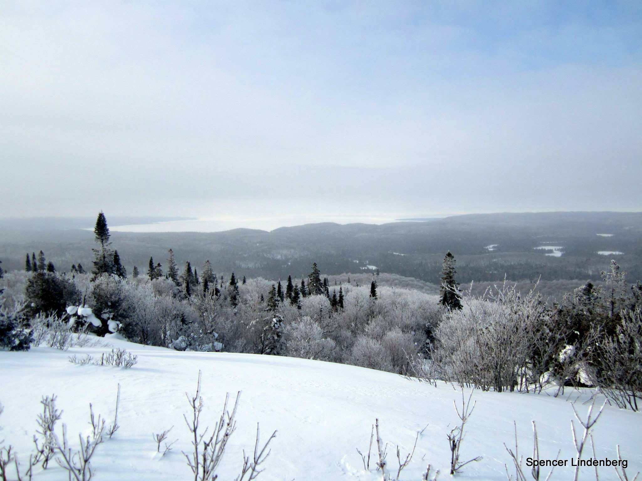
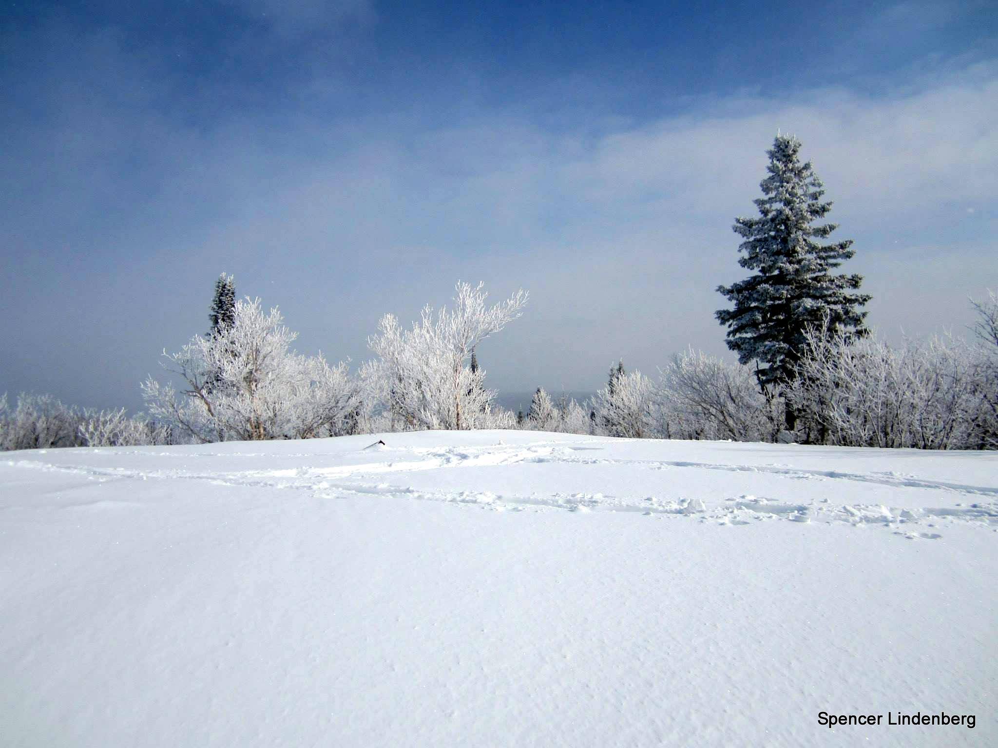
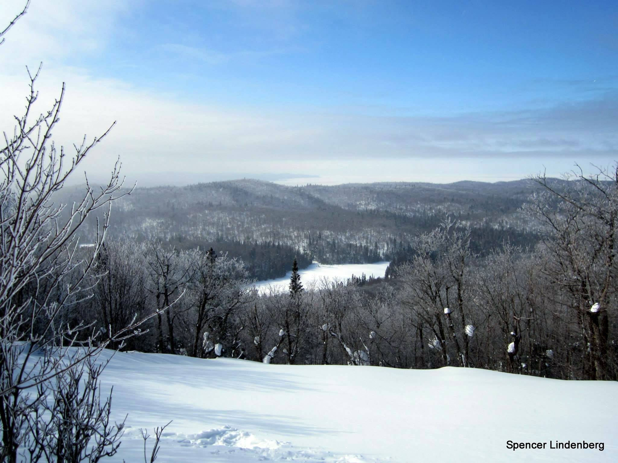
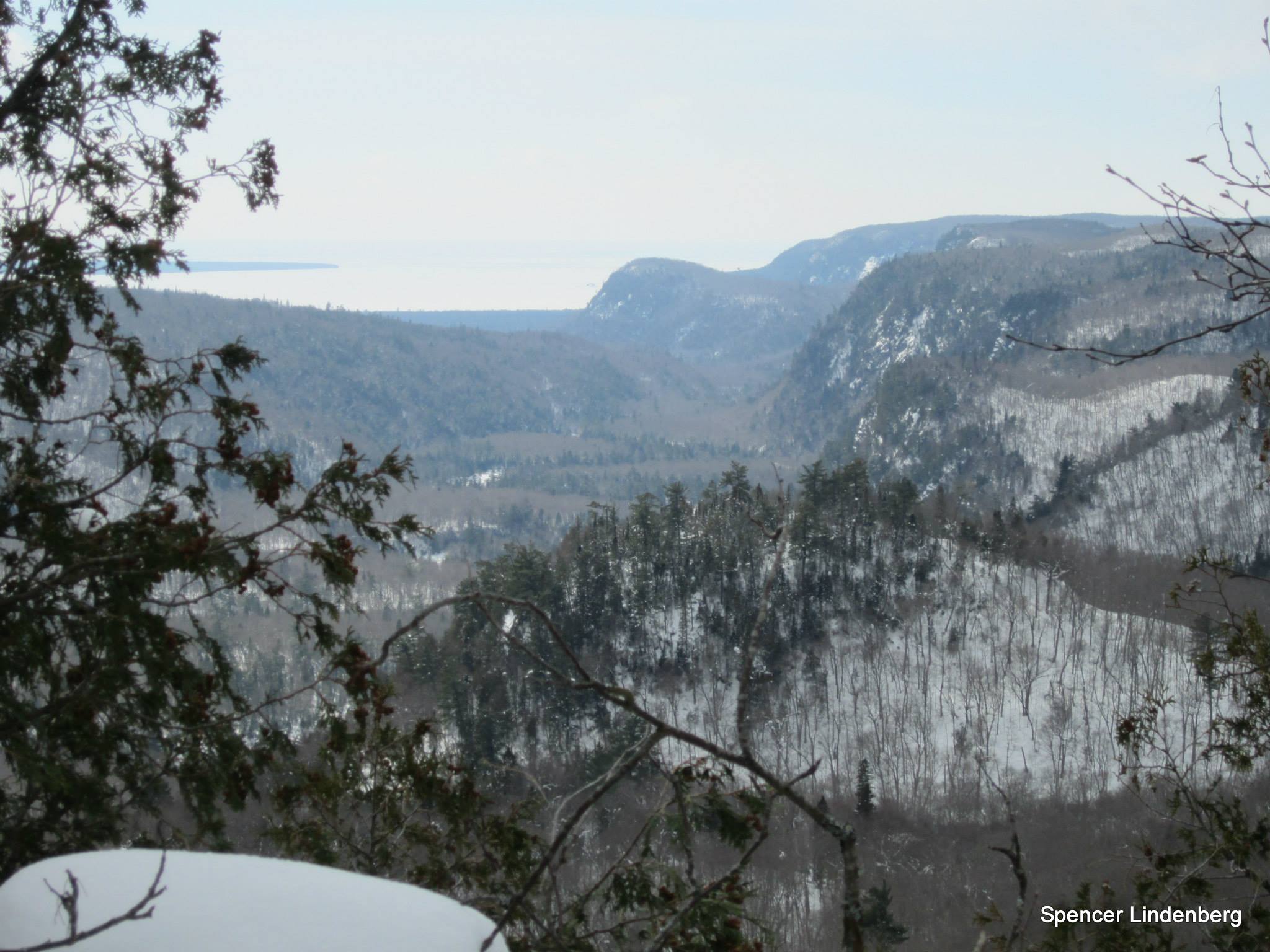
On Monday morning, after eating a no-cook breakfast, I headed up to the top of Kwagama. During the entire trip the snow was amazingly deep, but the shoulder and summit of Kwagama were really buried in powder. I didn’t find a whole lot for views near the eastern summit, besides an open spot that provided a look south, but the western summit was awesome. Unfortunately, the visibility wasn’t the greatest, as a very light snow was falling. I easily found the open summit area and could see the remains of the fire tower just poking above the snowpack in a couple places. Views to the northwest, west, and southwest were great, and after the snow let up for a bit I was able to see Agawa Bay and Montreal River Harbour. I was able to get some decent southern views by moving to some of the open areas just south of the summit. I wasn’t able to find any spots that provided views north or east.
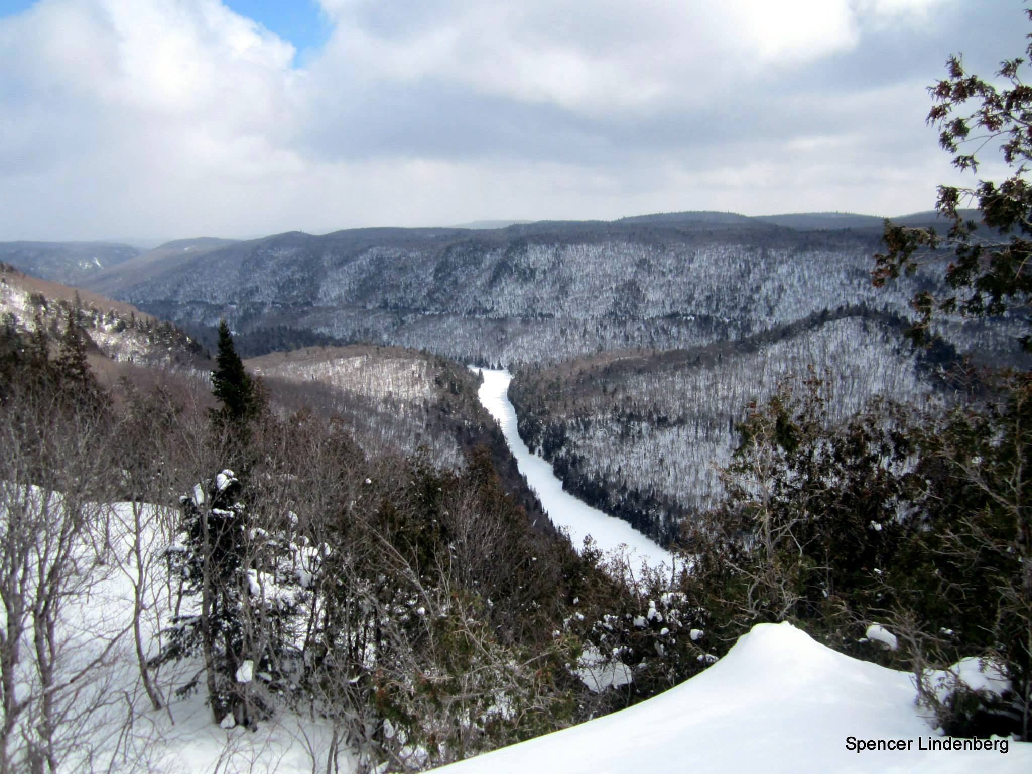
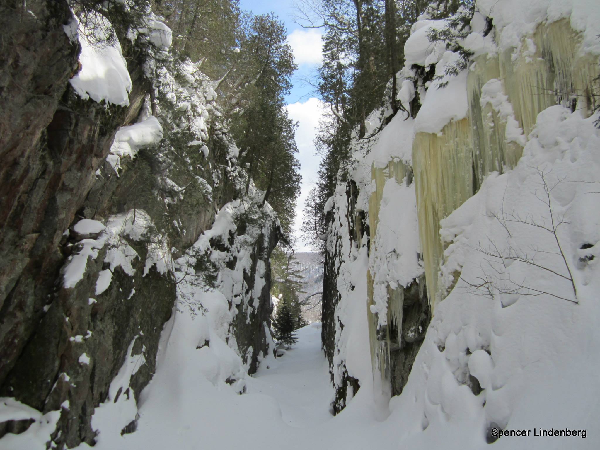
I followed my tracks downhill to my previous night’s bivy site, packed up my gear, and followed a chain of lakes and ponds toward Howling Wolf Lake. I worked my way towards the bluffs overlooking the river and found some nice views looking south and east over the Agawa Valley. I was able to find a few obstructed views west, towards Superior, although I couldn’t get to the cliff bands I was hoping to reach. I was worried that the steep slope would slide out from underneath my snowshoes, so I stuck to the safer, more level areas. I worked my way downhill and stumbled upon a sweet slot canyon that led south towards the river. After reaching the Agawa around 4:30 p.m., I followed it downstream, bypassed Agawa Falls, and got back on the river, heading downstream. I wanted to spend some time checking out Agawa Falls, but since I knew I needed to book it to reach the car before it got terribly late, I moved on without getting a great look at the falls. I had snowshoed the Towab Trail last March and got some awesome pics of the falls, and from what I could see on this trip the ice buildup looked very similar. So I made a beeline along the river toward Burnt Rock Pool.
I reached my car at 9 p.m. on Monday night after an exhausting day. Of the trip’s 37-ish total kilometers, I completed about 17km on Sunday and the remaining 20km on Monday. The snow was amazing and the weather was pretty nice. It was cold, with highs around -10C both days and a stiff breeze on Monday. I’d guess the low temp overnight was between –18C and -12C. The views from the top of Kwagama definitely made it worth the detour from the Agawa.
Approximate Route:
View a larger version of the map
Gallery:
-
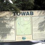
- Towab Trailhead Sign
-
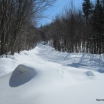
- Frater Road
-
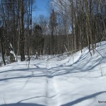
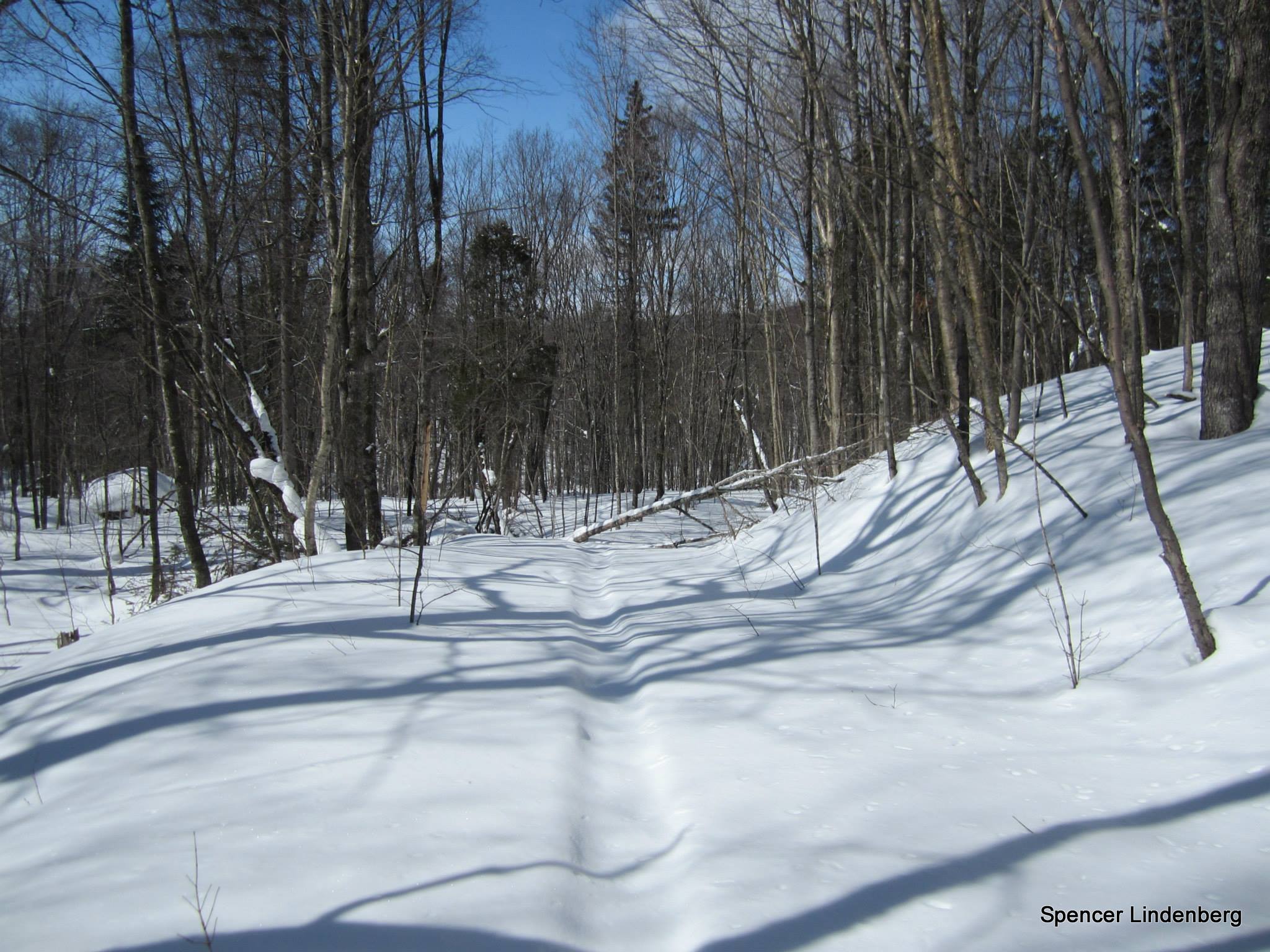
- Towab Trail
-
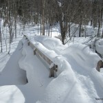
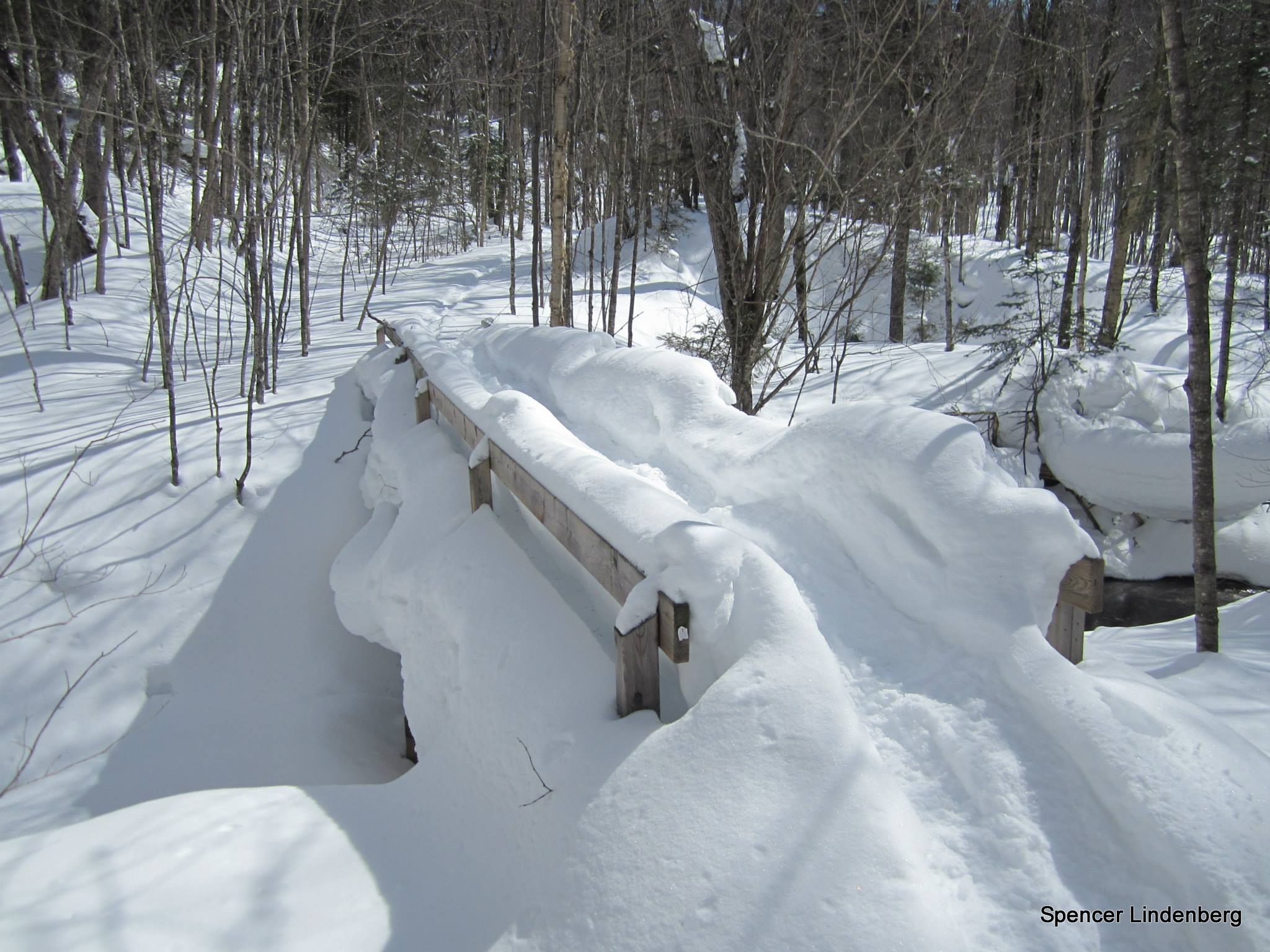
- Snow covered bridge
-
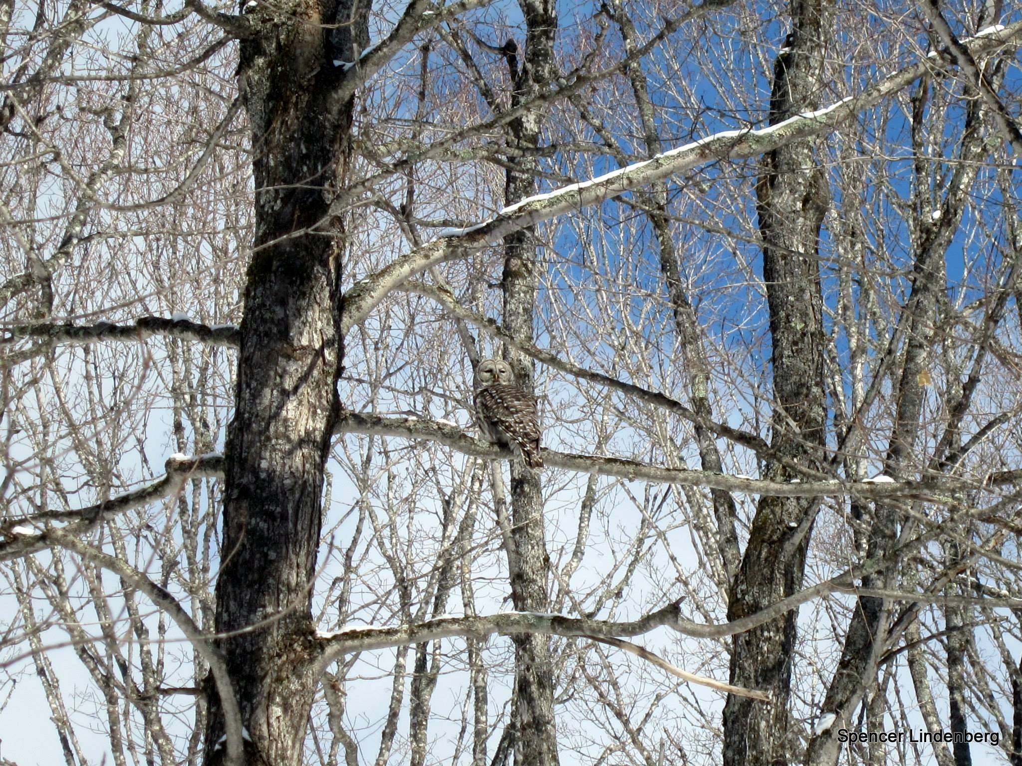
- Great Grey Owl
-

- Arrived at Burnt Rock Pool
-
- Snowshowing on the Agawa River
-
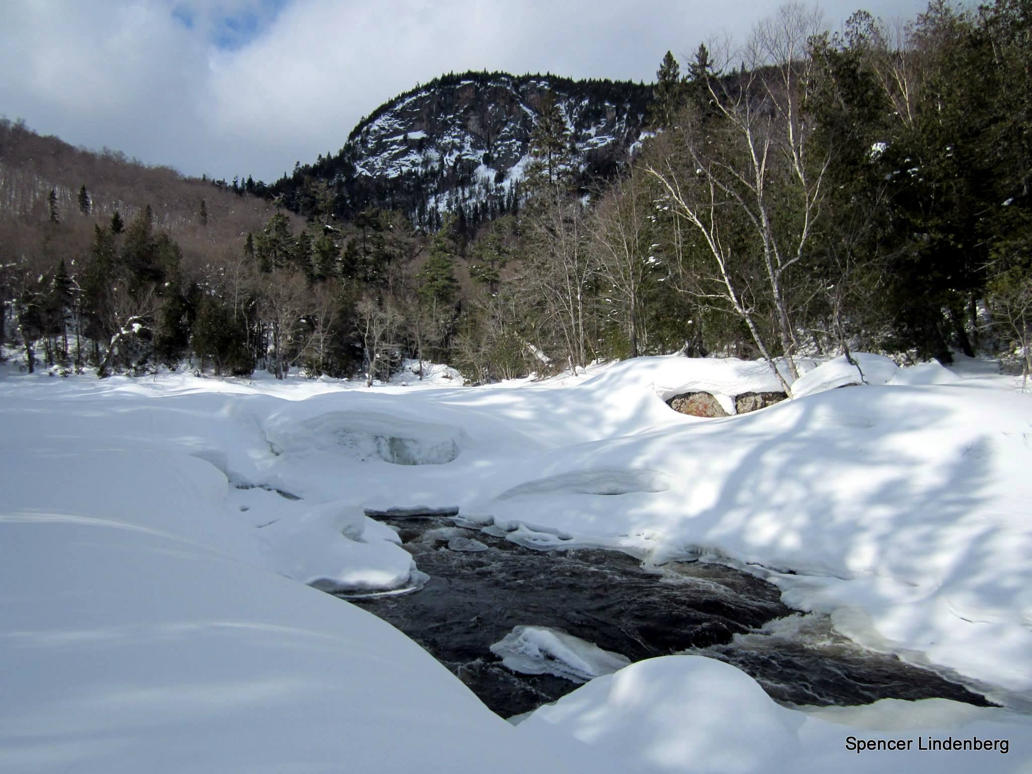
- Agawa River

-
- Cliffs along Awaga River
-
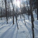
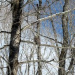
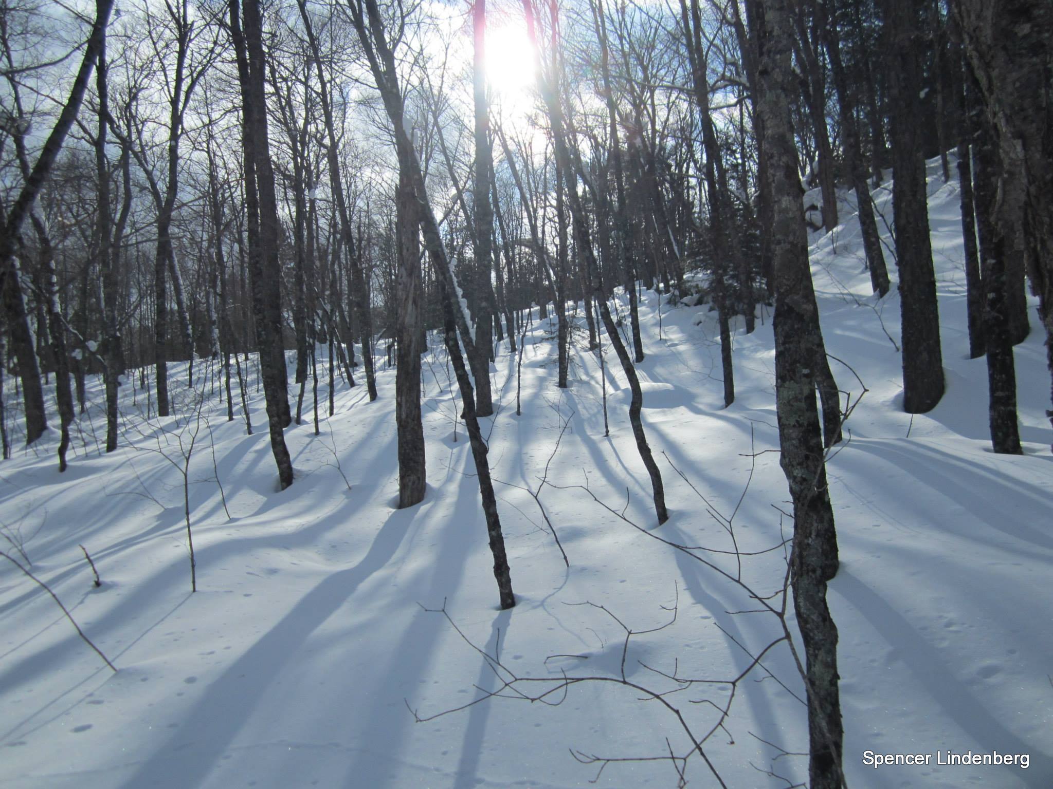
- Algoma Winter Forest
-
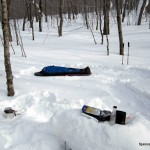
- Bivouac site on shoulder of Kwagama Hill
-
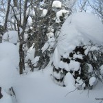
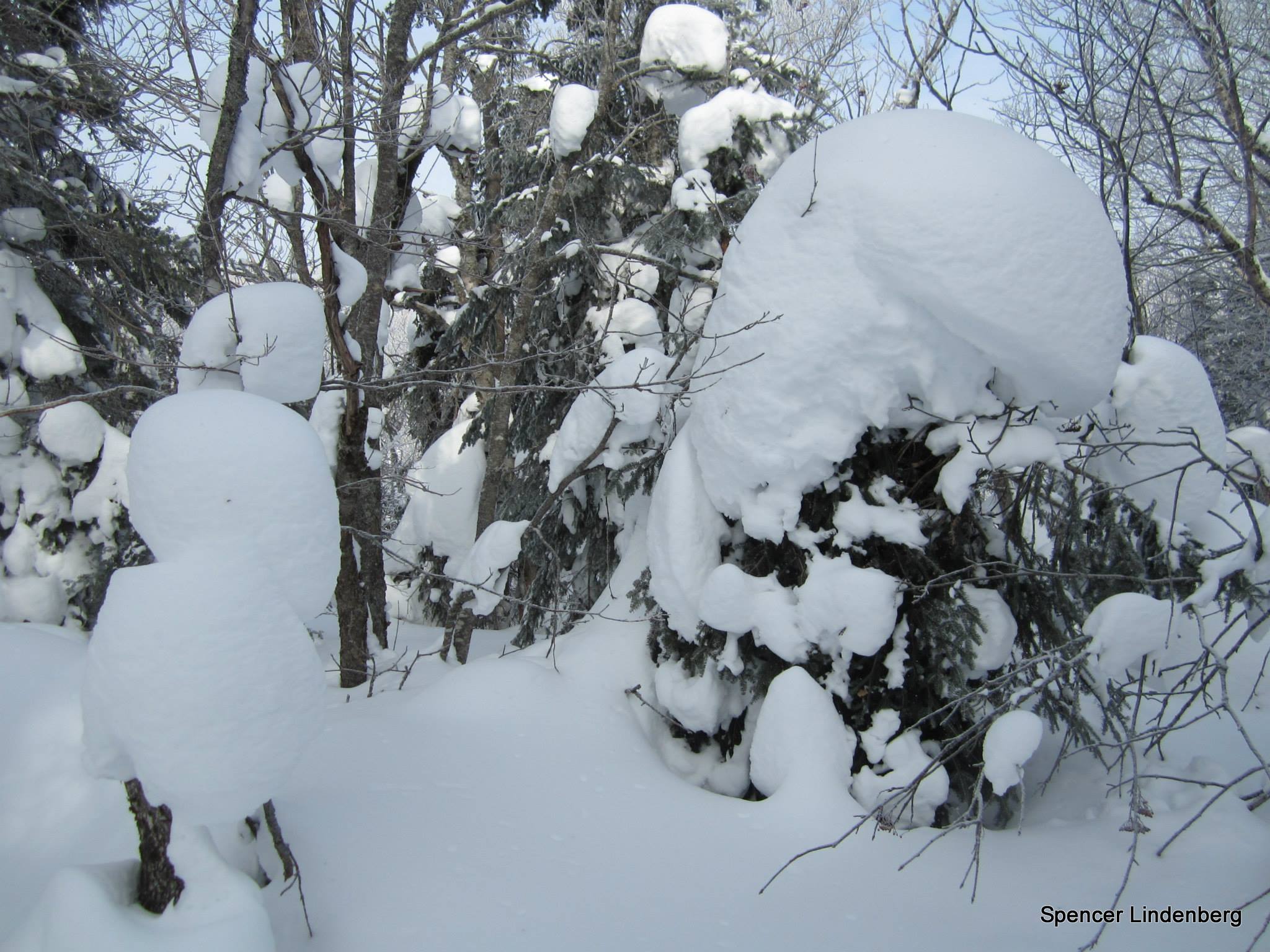
- Snow-covered trees on Kwagama Hill
-
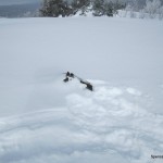
- Snow buried remains of Kwagama Fire Tower
-
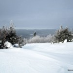
- View west from Kwagama Hill #1
-
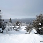
- View west from Kwagama Hill #2
-
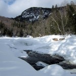
- View SW to Agawa Bay and Montreal River Harbour
-
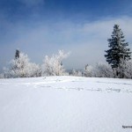
- Kwagama Hill summit
-

- View from Kwagama Hill
-
- View of the Agawa Valley upstream from the falls
-
- View of the Agawa Valley to Lake Superior
-
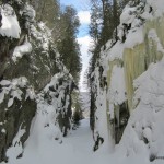
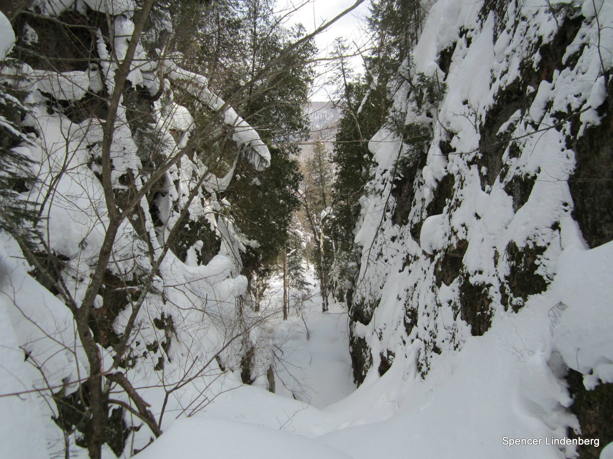
- Slot Canyon
-
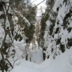
- Near the end of the Slot Canyon
-
- Back at the Agawa River
Kwagama Hill GPS Track(.gpx format)
Related Links:
Mary’s account of a trip to Kwagama Mt. via the Agawa River
Gail’s account of a trip to Kwagama Mt. via the Agawa River