Muskoka High Point
Posted by Derek on Jul 20, 2010
Height: 1778 feet / 542 meters
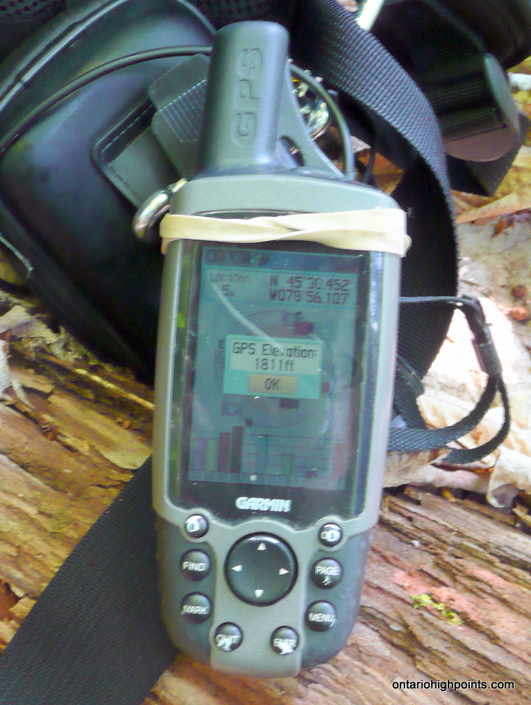
GPS recorded height: 1811 feet / 552 meters
Lat/Lon: N45.5075 W78.9351
Date Summited: July 10, 2010
Directions / Trip Summary:
Take Highway 60 east from Huntsville for 12.5 km and turn left onto Limberlost Road. You can take Tally Ho Winter Park Road instead if you miss the intersection like I did to get to Limberlost. Follow Limberlost Road northeast for 18.6 km and turn left onto Tasso Lake Road. Follow Tasso Lake Road north for 2.8 km. The road curves to the east around the north end of Tasso Lake. Just past the dam, you will reach an ATV trail branching to the north. The shoulder of Tasso Lake Road just west of the ATV trail is a good place to park non-ATV vehicles. Note: Some maps indicate Tasso Lake Road branching to the left, 1.8 km past the intersection with Limberlost, however either I wasn’t paying attention or it’s not there, as I don’t recall seeing it.
The ATV trail is easy to follow, but would be too rough for cars to follow. As I was exploring the trails in the area, I decided to bike from Tasso Lake Road to the start of the bushwhack. 1.5 km from Tasso Lake Road, you will depart the main ATV trail and turn left onto a more overgrown ATV path. There are some rough patches as the trail descends towards a creek, crosses it and ascends the other side. About 1.1 km from the left turn (2.6 km from Tasso Lake road), the ATV trail passes by an open area, which I figured was the closest approach to the Muskoka High Point.
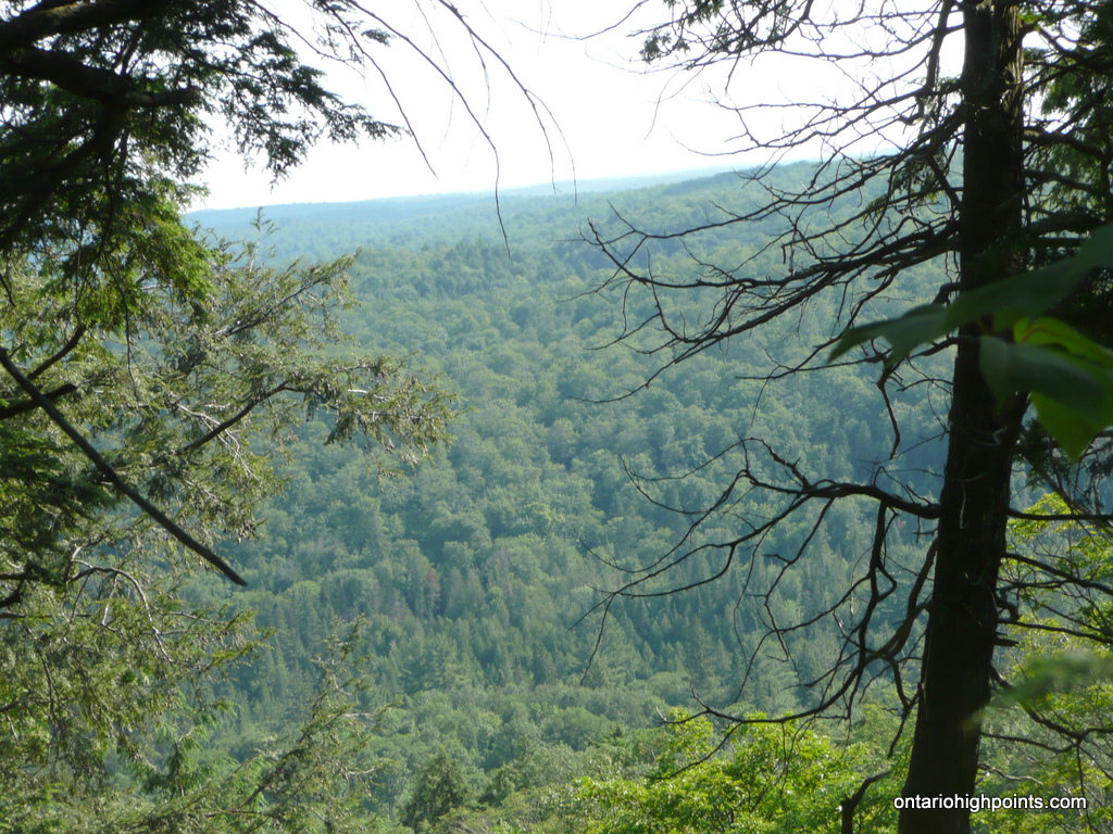
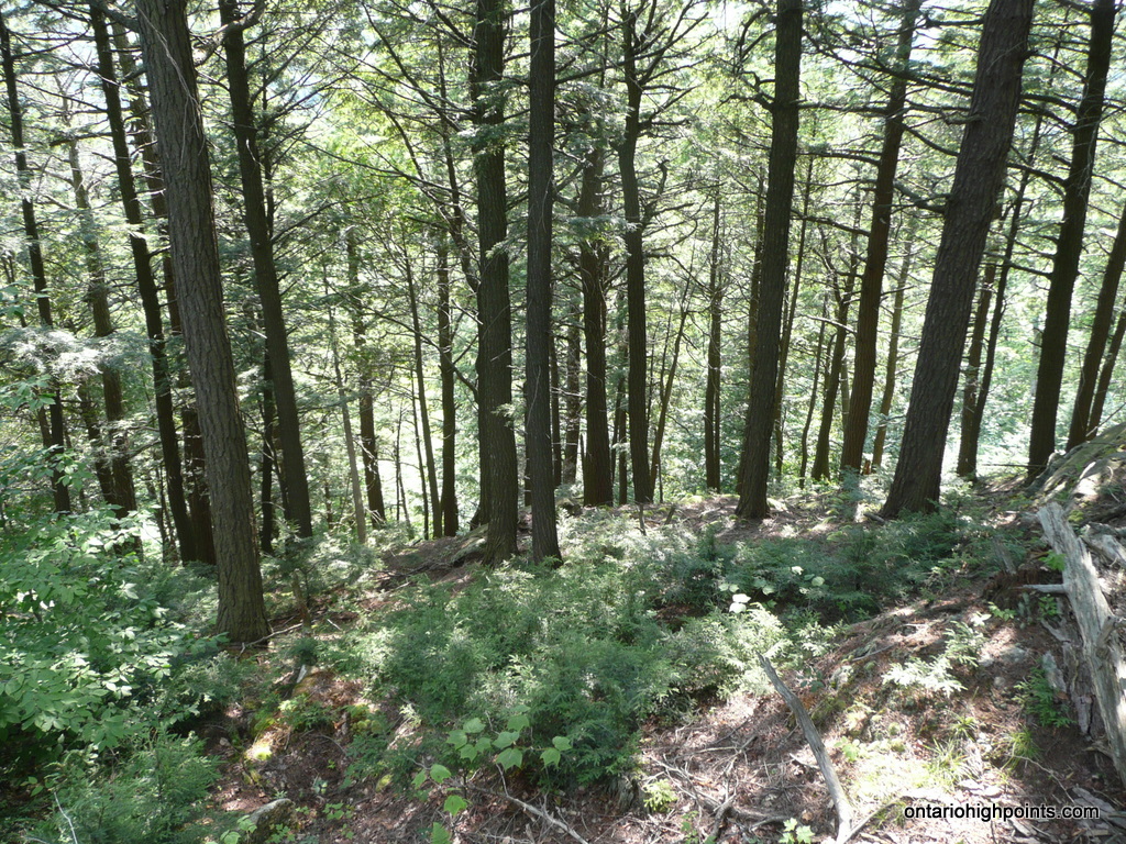
Crossing the open area, the bushwhack north begins in a mixed forest with sparse underbrush. After ascending moderately for a couple hundred meters, you will reach the bottom of a steep rise. I didn’t find a notch to ease the ascent, so I climbed straight up it. After scrambling up the rocky cliffs, over fallen trees and gaining the top of the bluff, the trail flattens out. I stopped at the cliff edge and enjoyed the limited views south through the trees. From here it, the bushwhack continues for 0.5 km, ascending moderately through thin underbrush north to the summit area.
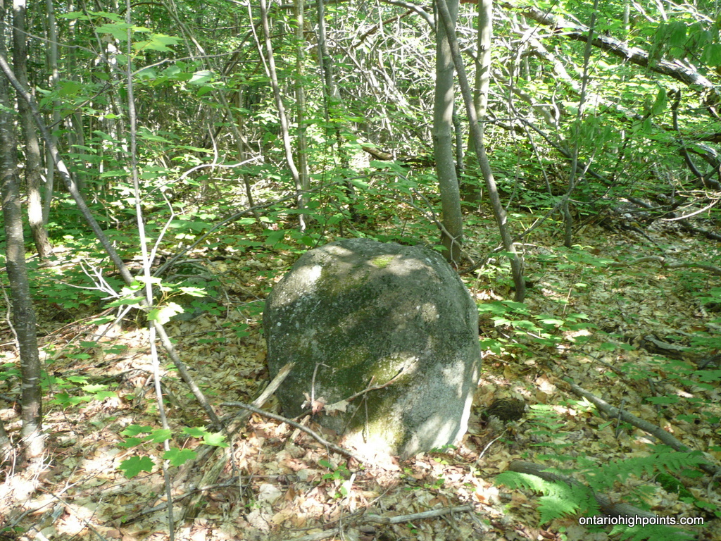
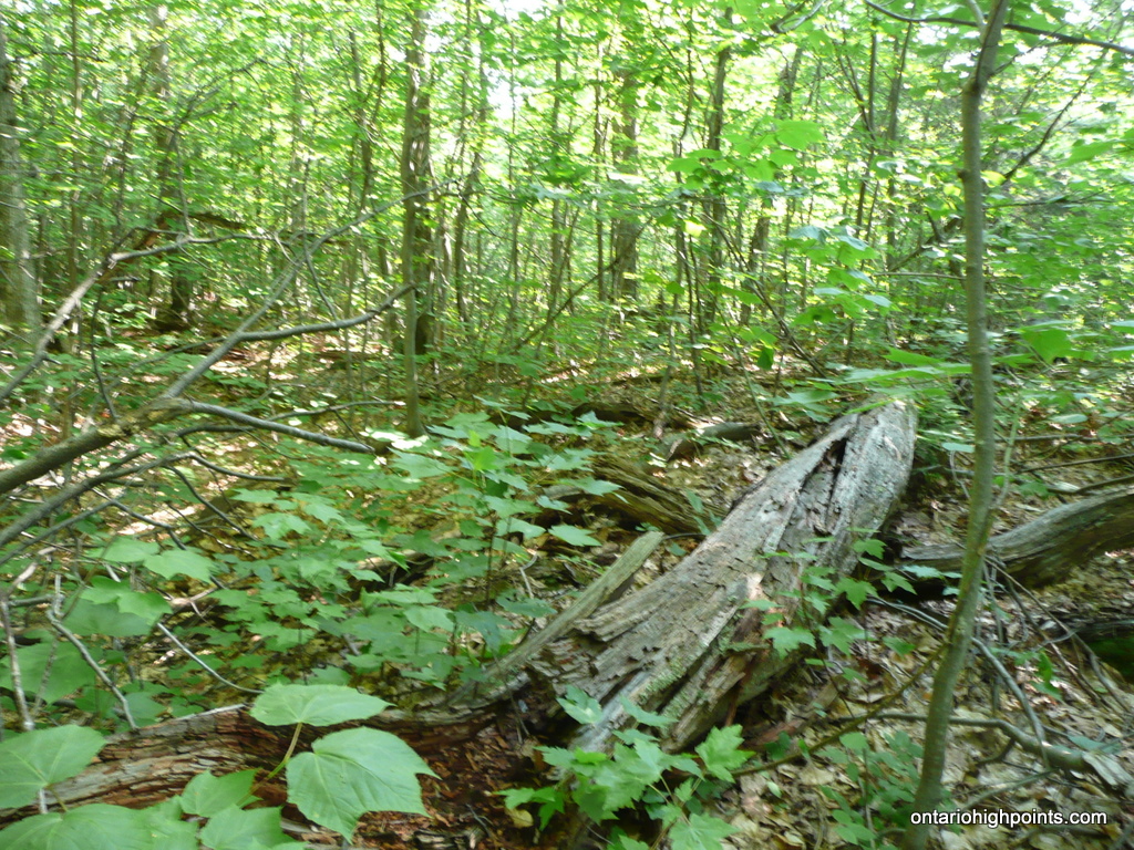
As the summit area is fairly flat, there was no obvious high point. A rock I figured to be an erratic was a candidate the for high point, but I concluded that a small rise forming a lip against the north edge of the summit looked higher. A fallen tree marks the spot.
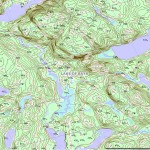
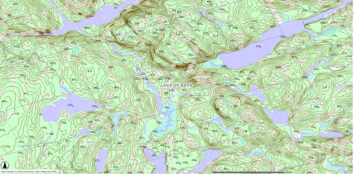
View a larger version of the map
Gallery:
-
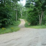
- Turn off from Tasso Lake Road onto the ATV path
-
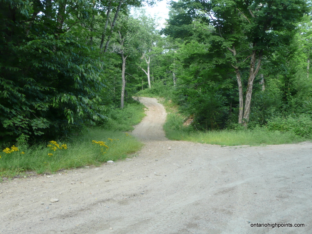
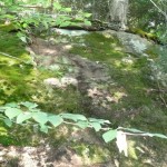
- Beginning of the bushwhack
-
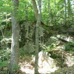
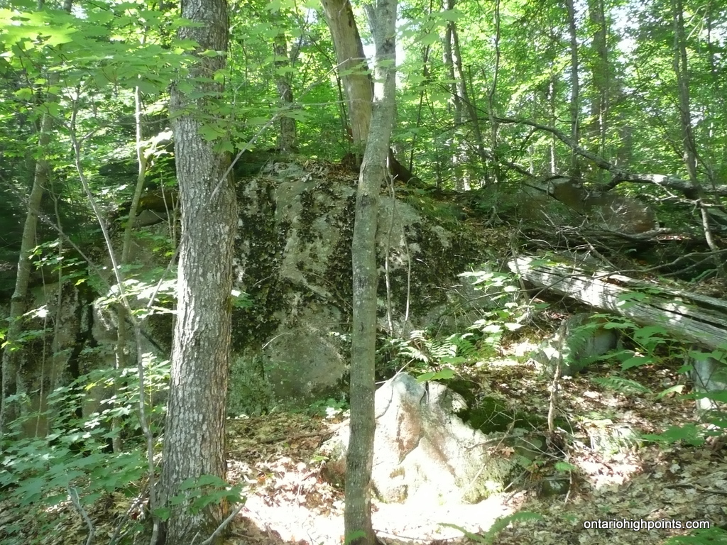
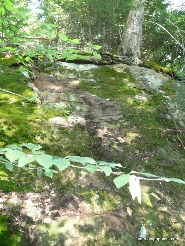
- Bushwhack up rocky cliffs
-
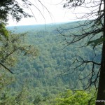
- Peering between the trees from the top of the steep rise
-
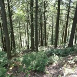
- At the top of the steep rise
-
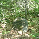
- Possible summit?
-
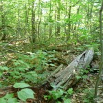
- Most likely summit candidate
-
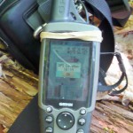
- GPS elevation
-
- Muskoka District High Point (OBM)
Muskoka High Point Trail GPS Track (.gpx format)
Related Links:
Muskoka High Point on peakbagger.com
I’ve skied this area extensively and the hills are higher than anywhere in the district-more like Quebec.