White Mountain / Lanark County High Point
Posted by Derek on Mar 27, 2018
aka. Lanark County High Point
Height: 1266 feet / 386 meters
GPS recorded height: 1270 feet / 387 meters
Lat/Lon: N45.1810083 W76.6381359
Date Summited: July 4, 2017
Directions / Trip Report:
I traveled north from Perth, on Hwy 511 for 43 km to the turnoff (left/west) onto Campbell’s Road (gravel/dirt). I then drove west for 4.1 km to intersection with Woods Road. I parked at the intersection, as Woods Road was a rougher 2-track road. I turned right onto Woods Road and followed the road west for 200 meters and then turned left at the fork. 1 km beyond the first fork I arrived at a second fork. I turned right at this fork and made the final 700 meters trek north to the summit. Past a clearing near the summit, the road degrades to a single track trail (but is easy to follow). The trail passes right over the high point at the summit.
View a larger version of the map
Trip Summary:
0.0 km – Turned left (west) onto Campbell Road (11:43 AM)
4.1 km – Parked at intersection with Woods Road (11:52 AM)
0.2 km – Turned left at first fork (12:04 PM)
1.2 km – Turned right at second fork (12:12 PM)
1.9 km – Arrived at summit of White Mountain (12:21 PM)
Gallery:
-
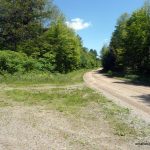
- Campbell Road and Woods Road intersection
-
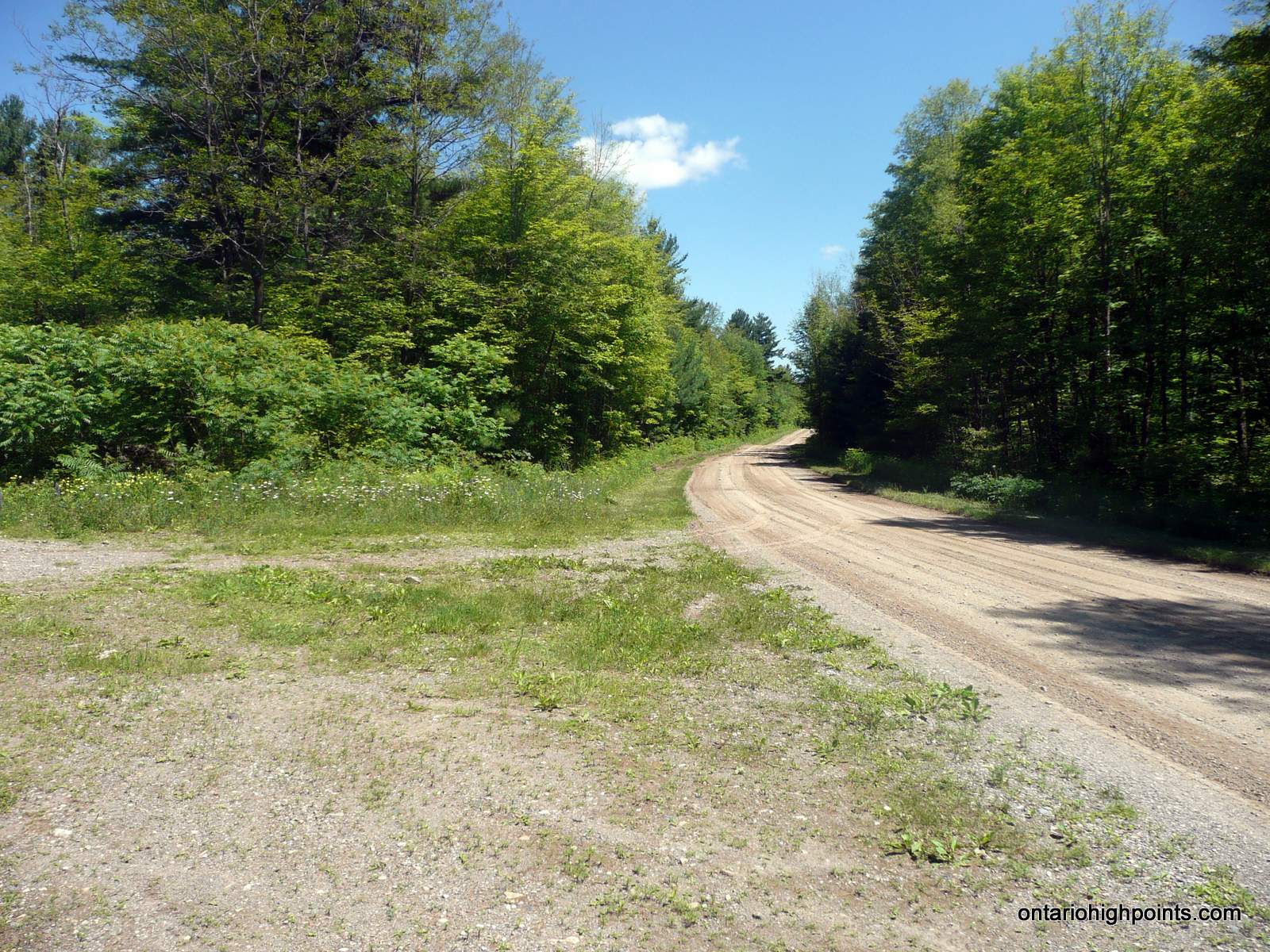
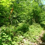
- Ascent just past the second fork
-
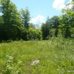
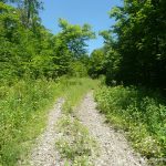
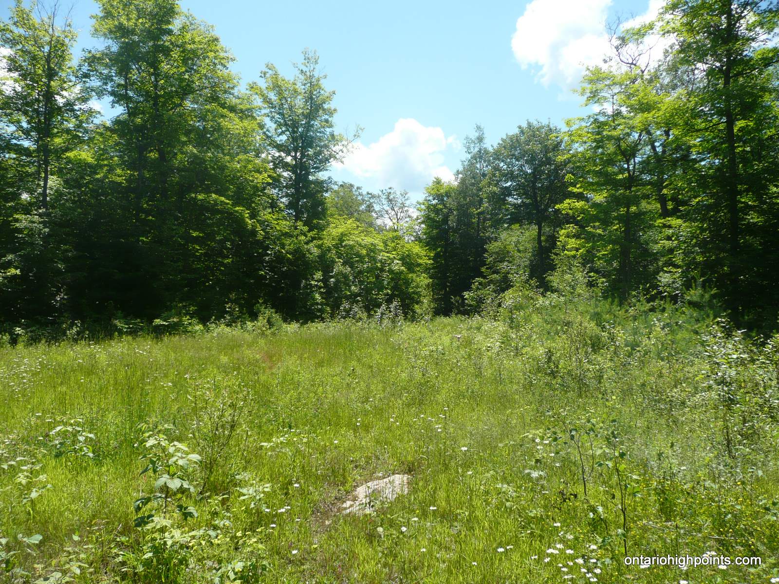
- Clearing near White Mountain summit
-
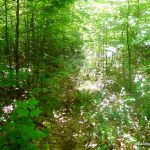
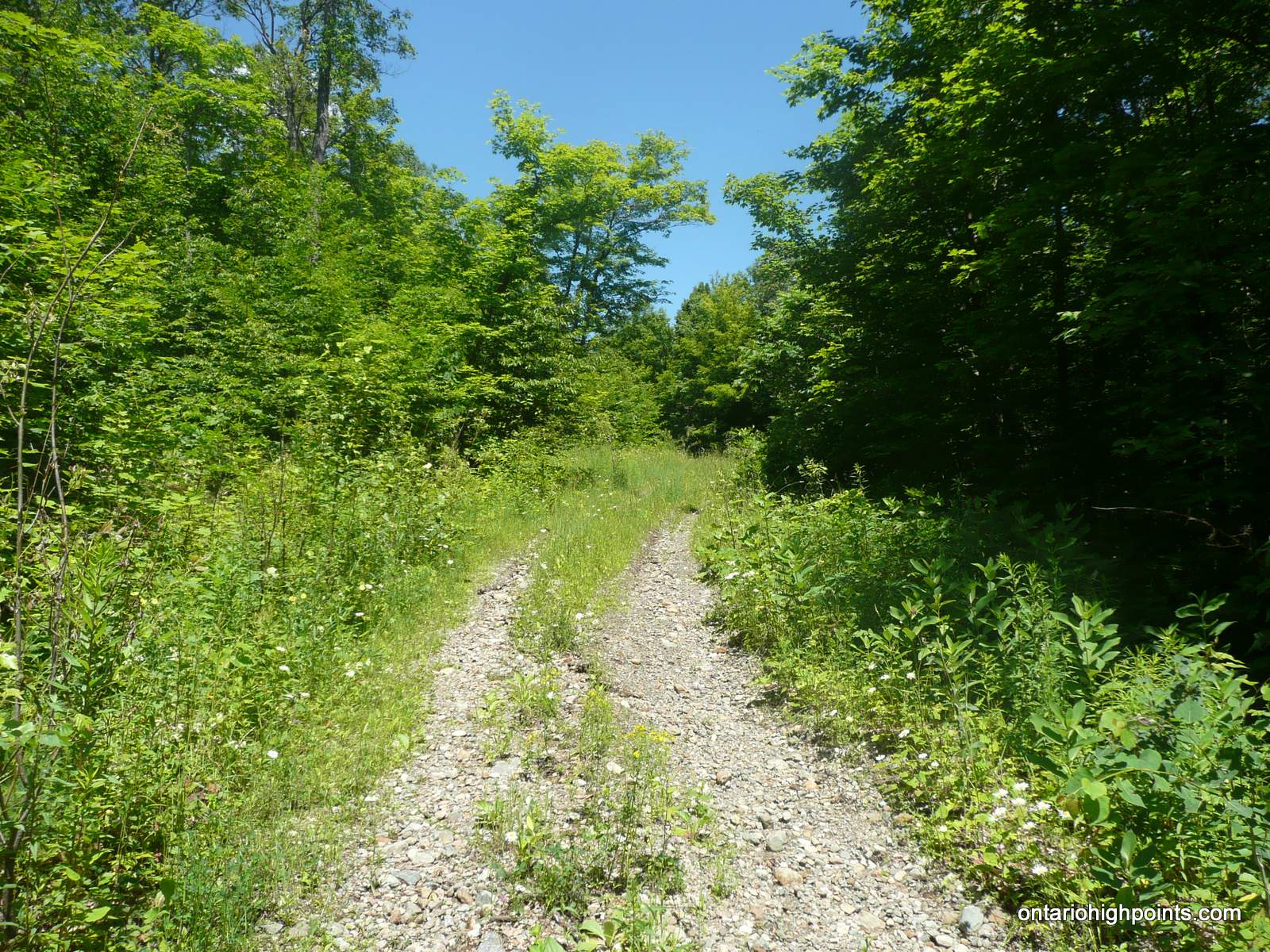
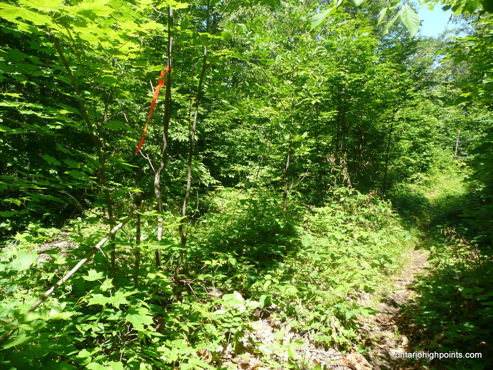
- Single track trail at the summit

-
- White Mountain summit
-
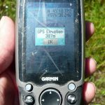
- GPS Elevation

GPS Tracklog (GPX Format):