Labelle Lake Peak
Posted by Derek on May 24, 2016
Height: 1598 feet / 487 meters
Lat/Lon: N46 42.478 W81 07.839
Date Summited: May 22, 2016
Overview:
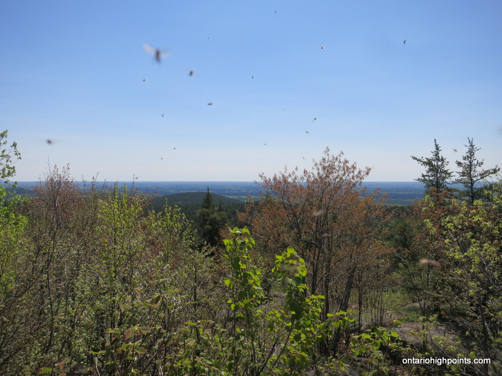
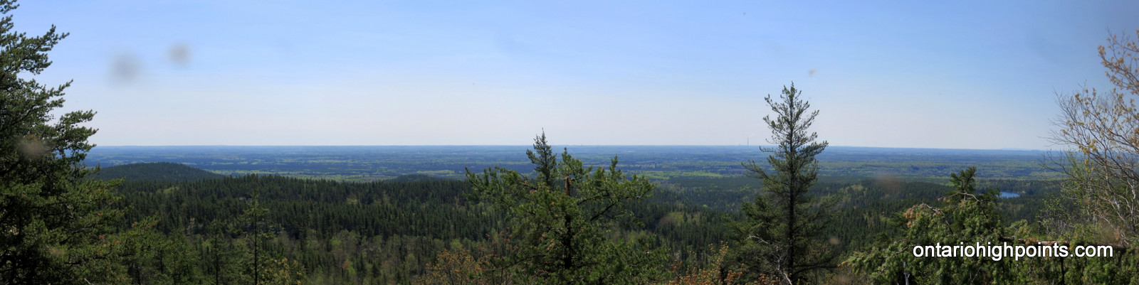
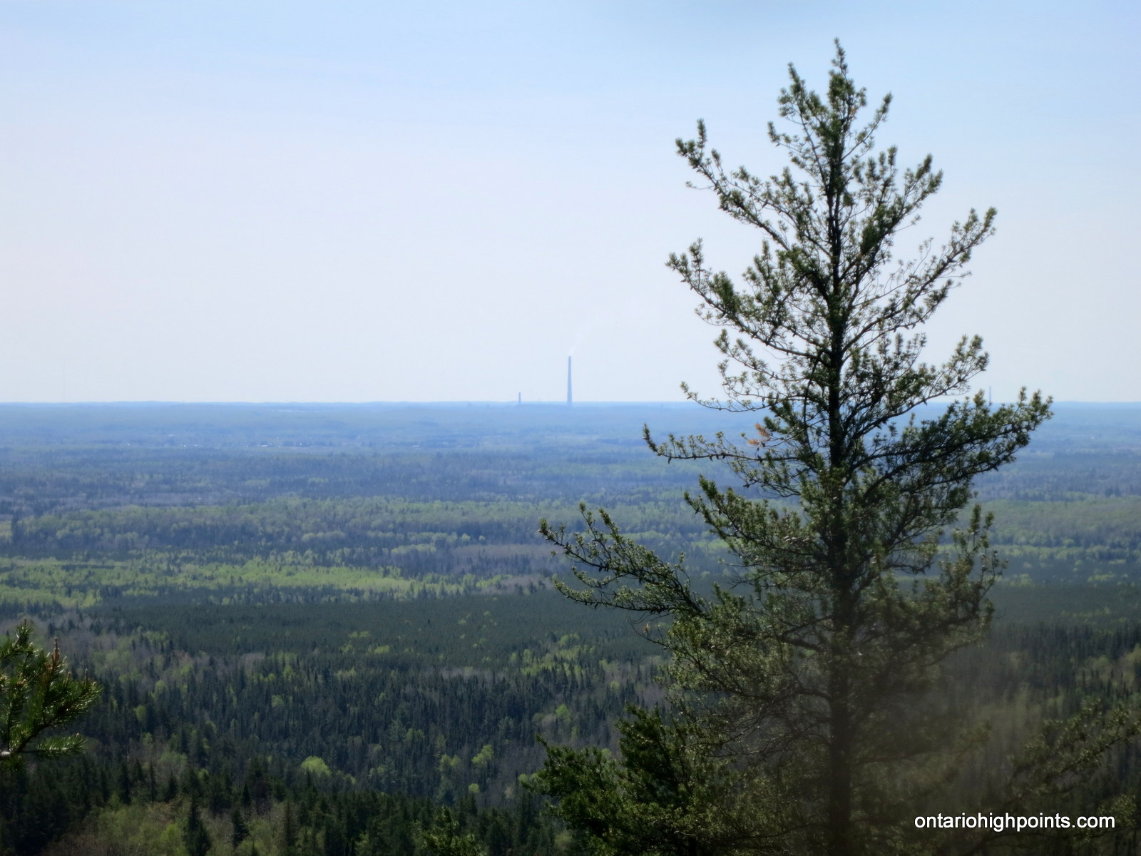
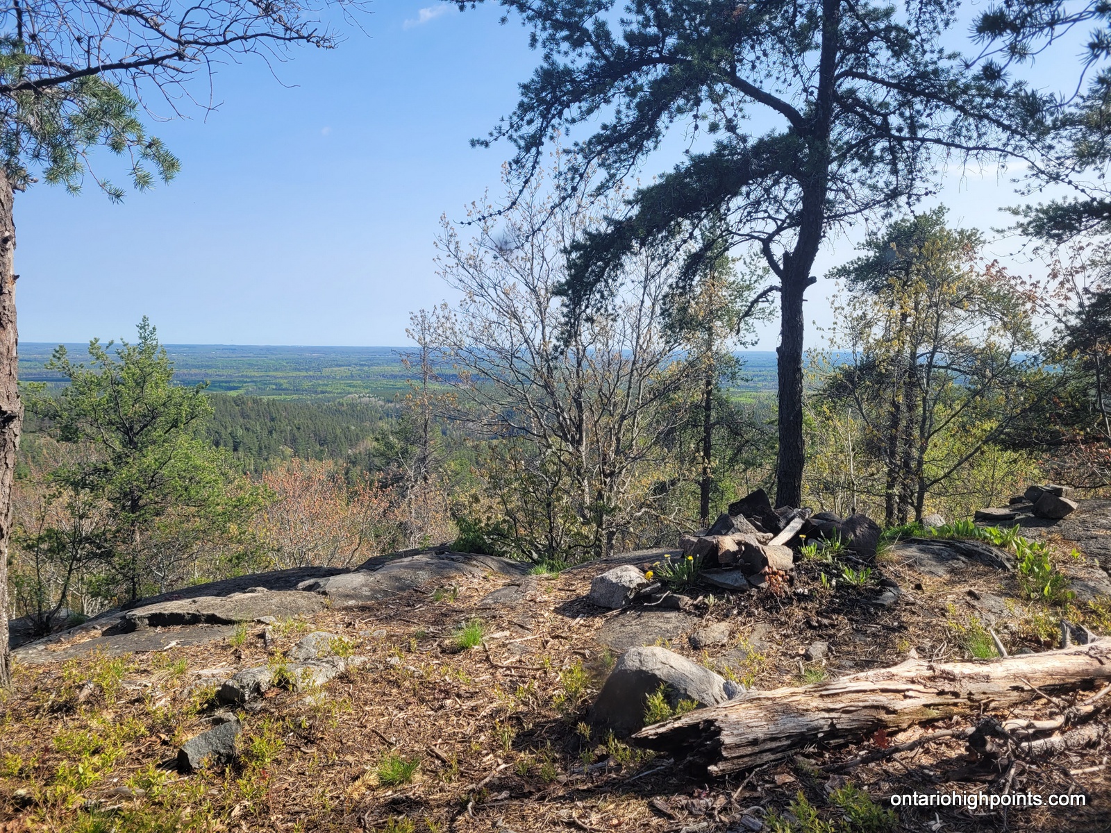
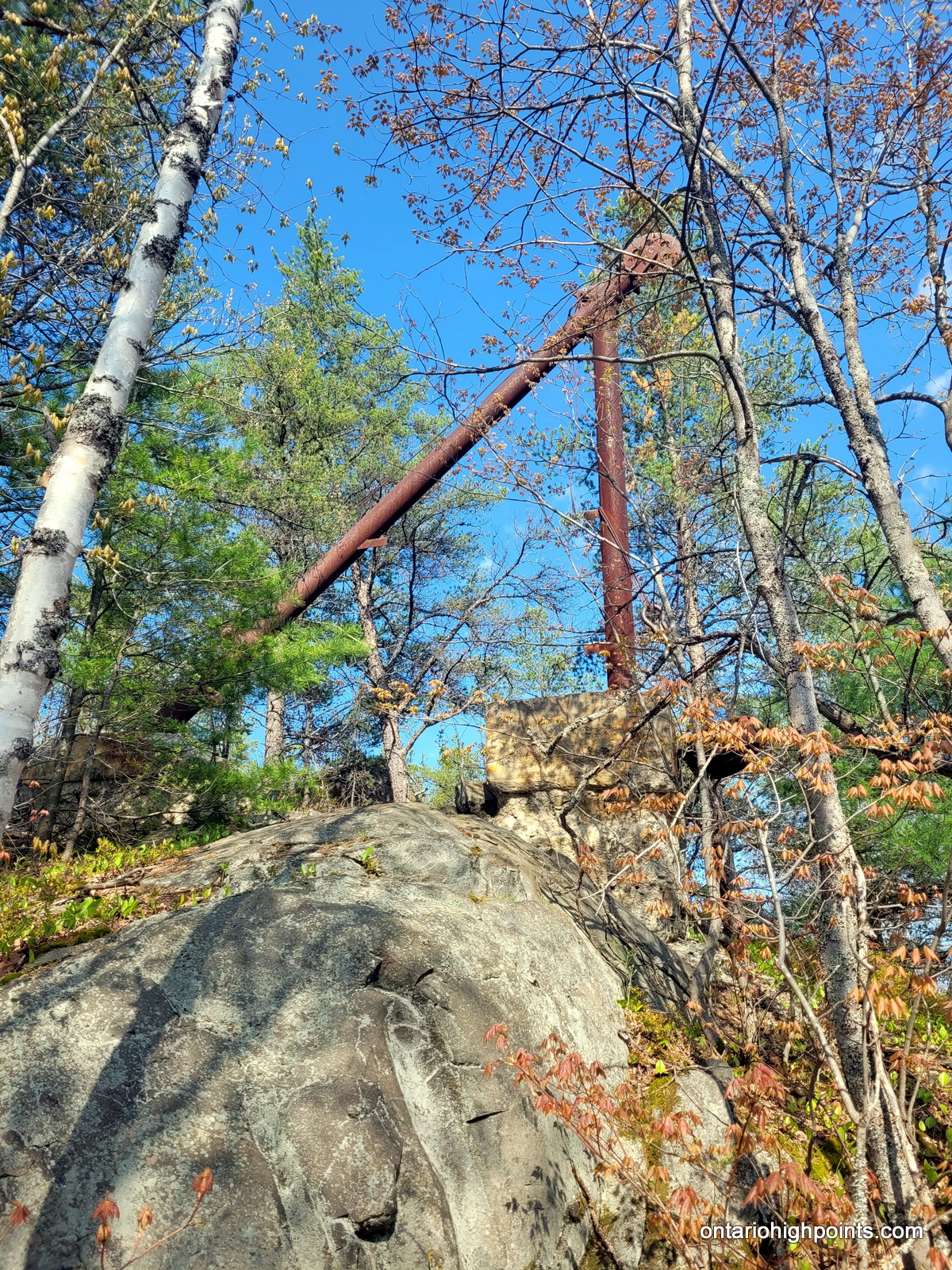
Located in the region of Greater Sudbury, Labelle Lake Peak was once home to both a ski hill and the Lumsden fire tower. Today, the only reminders of these structures are the rusted remains of the ski lifts and the deteriorated footings of the fire tower. It’s a short trek from Nelson Lake Road to the summit which provides an excellent vista of the Sudbury Basin.
Directions:
From Sudbury, travel north on Old Hwy 69 / Regional Road 80 to Val Therese. In Val Therese, old Hwy 69 bends to the east (turns right). At this bend, turn left and continue north onto Desmarais Road. Follow Desmarais Road for 5 km until reaching the left turn (west) onto Nelson Lake Road. Follow Nelson Lake Road for 8.8 km to a roadside parking area at N46 42.272 W81 05.829. The road beyond is in rough condition and it is recommended to park here as only high clearance vehicles should attempt to go further.
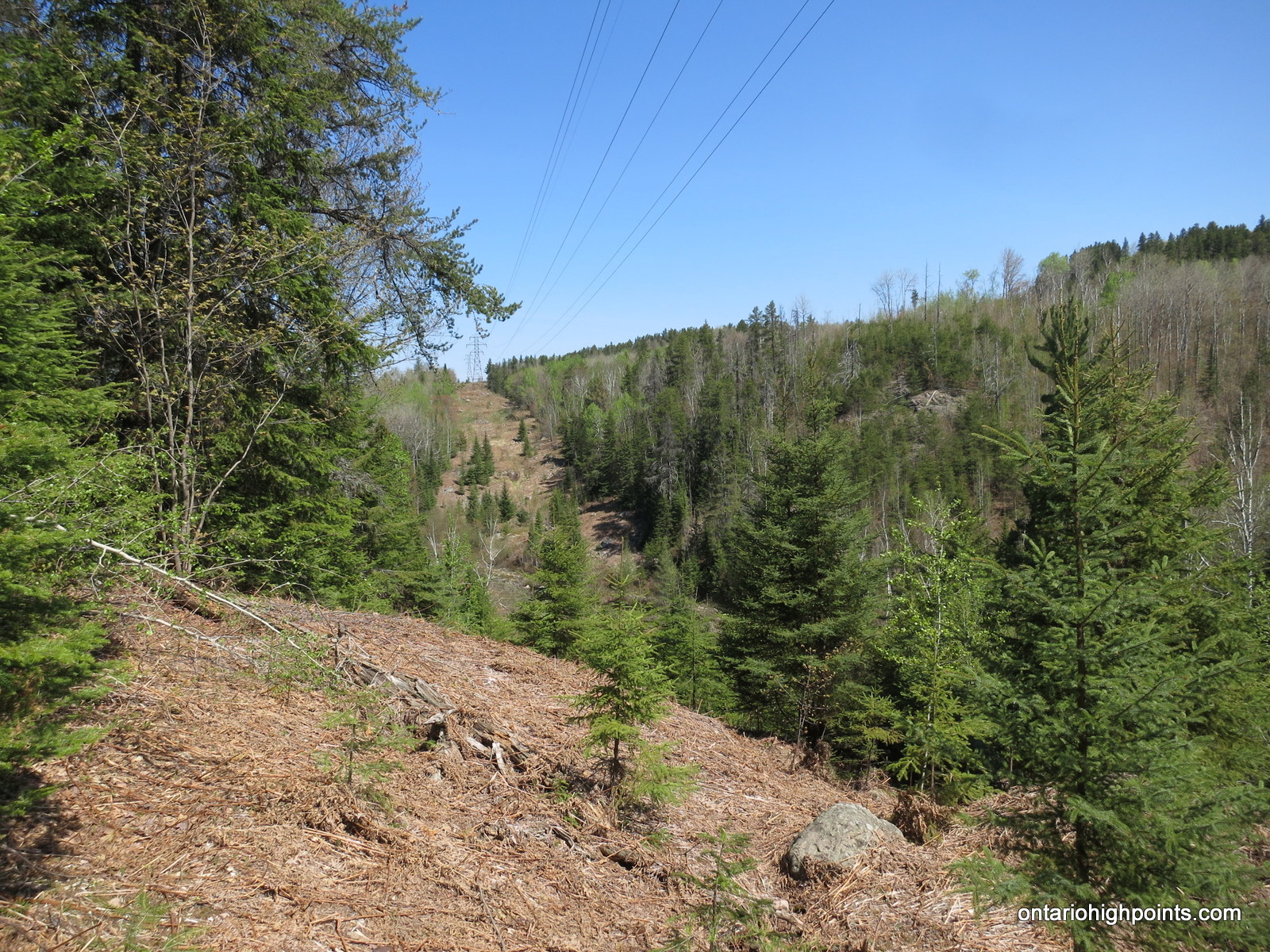
Continue west along Nelson Lake Road for 2.3 km until reaching a rough ATV trail heading southwest from the road (N46 42.696 W81 07.297). Follow the rough ATV trail as it passes under a hydro-electric power line and ascends almost 400 feet to the summit. About 1.1 km from Nelson Lake Road, the trail reaches the summit, the remains of the fire tower, the abandoned ski lifts and views (south) of the Sudbury Basin can be found. (The trail continues south and descends off the peak, but I have not confirmed where it leads)
View a larger version of the map
Trip Summary:
00.0 km – Turned left onto Nelson Lake Road (10:30 AM)
08.8 km – Passed Roadside Parking area 1 (10:45 AM)
09.9 km – Parked as road became very rough (10:48 AM)
09.9 km – Began hike west along Nelson Lake Road (11:07 AM)
11.0 km – Arrived at intersection / start of ATV trail (11:15 AM)
12.1 km – Arrived at the summit of Labelle Lake Peak (11:34 AM)
Gallery:
-
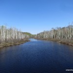
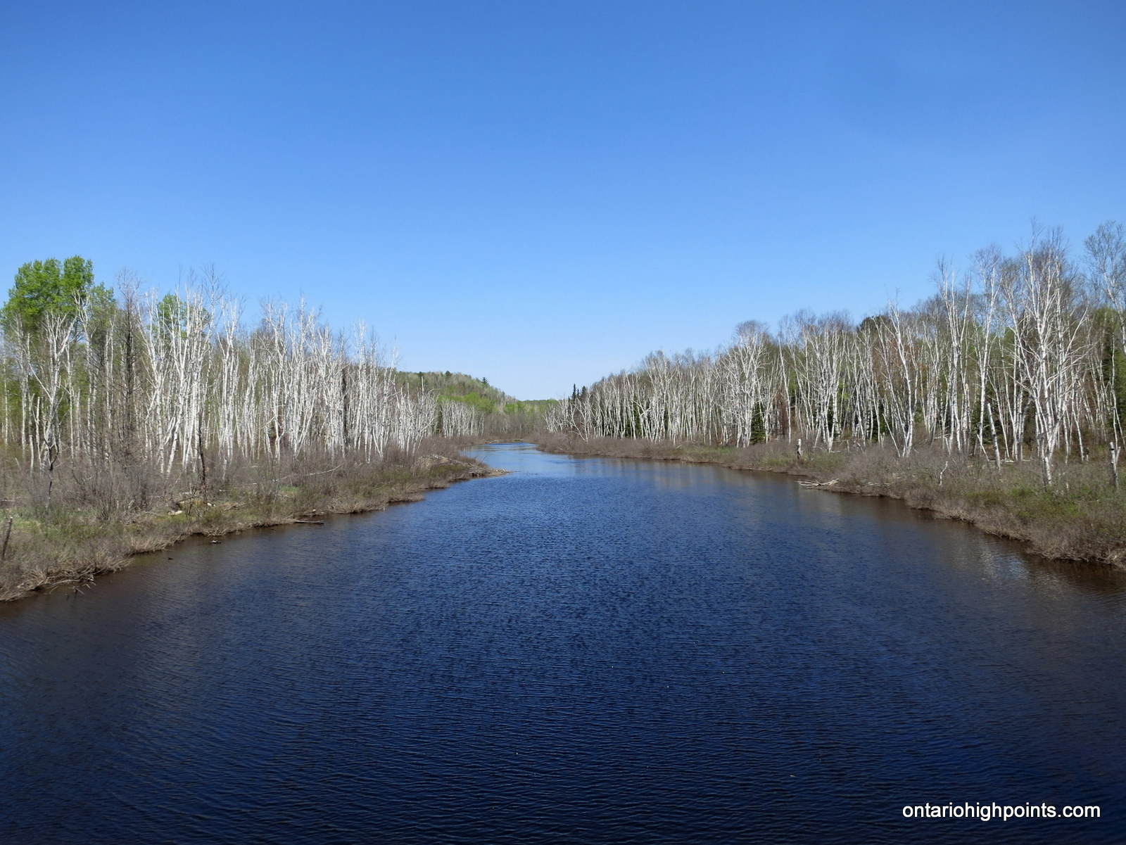
- Crossing the Rapid River
-
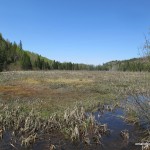
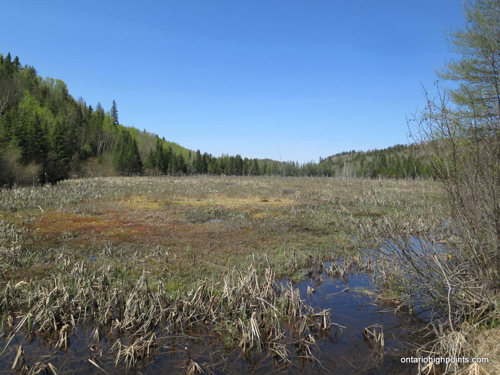
- Marshlands east of Labelle Lake
-
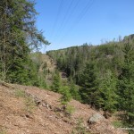
- Power line corridor
-
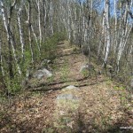
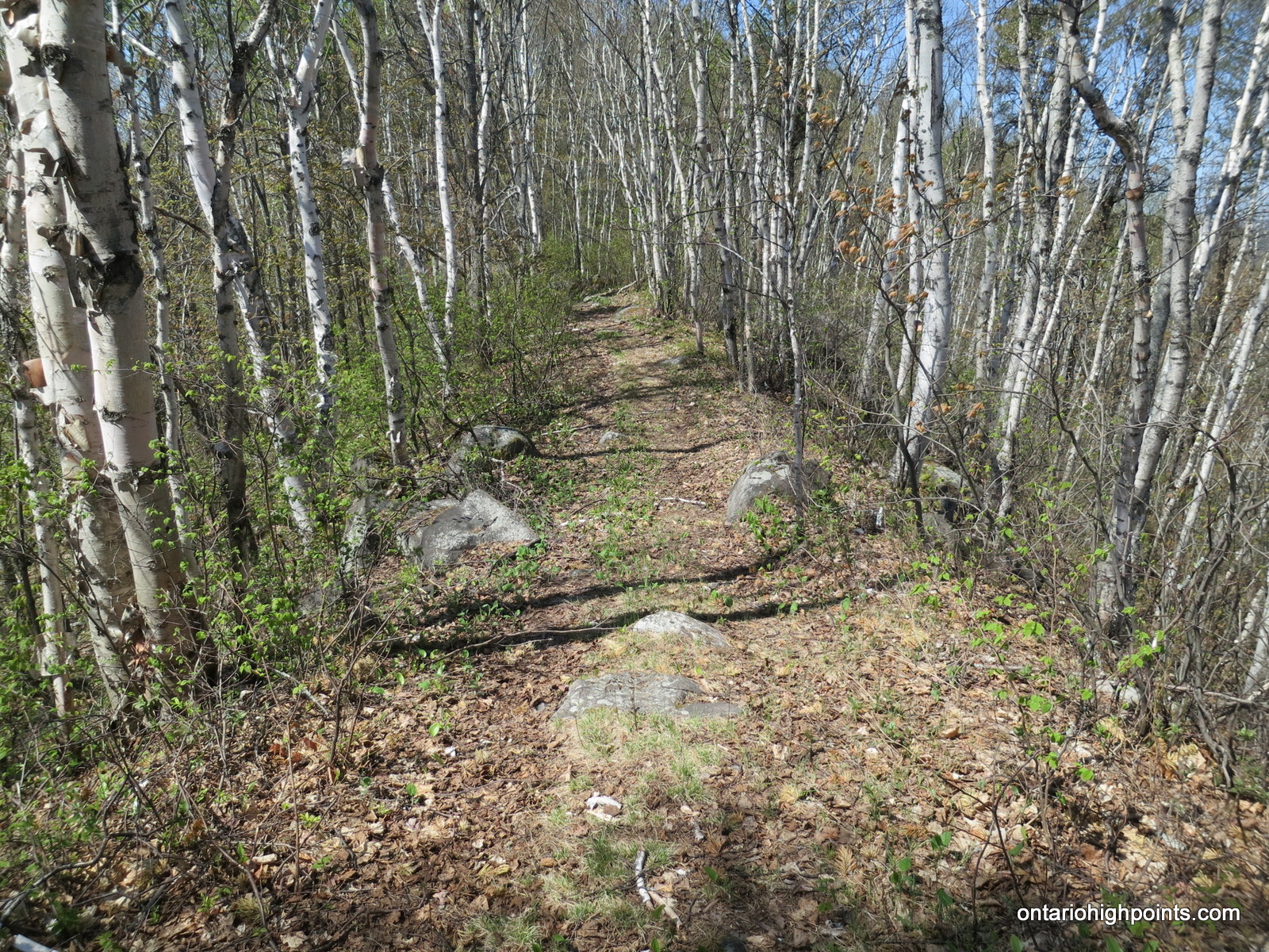
- On route up Labelle Lake Peak
-
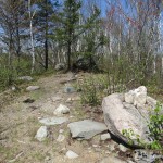
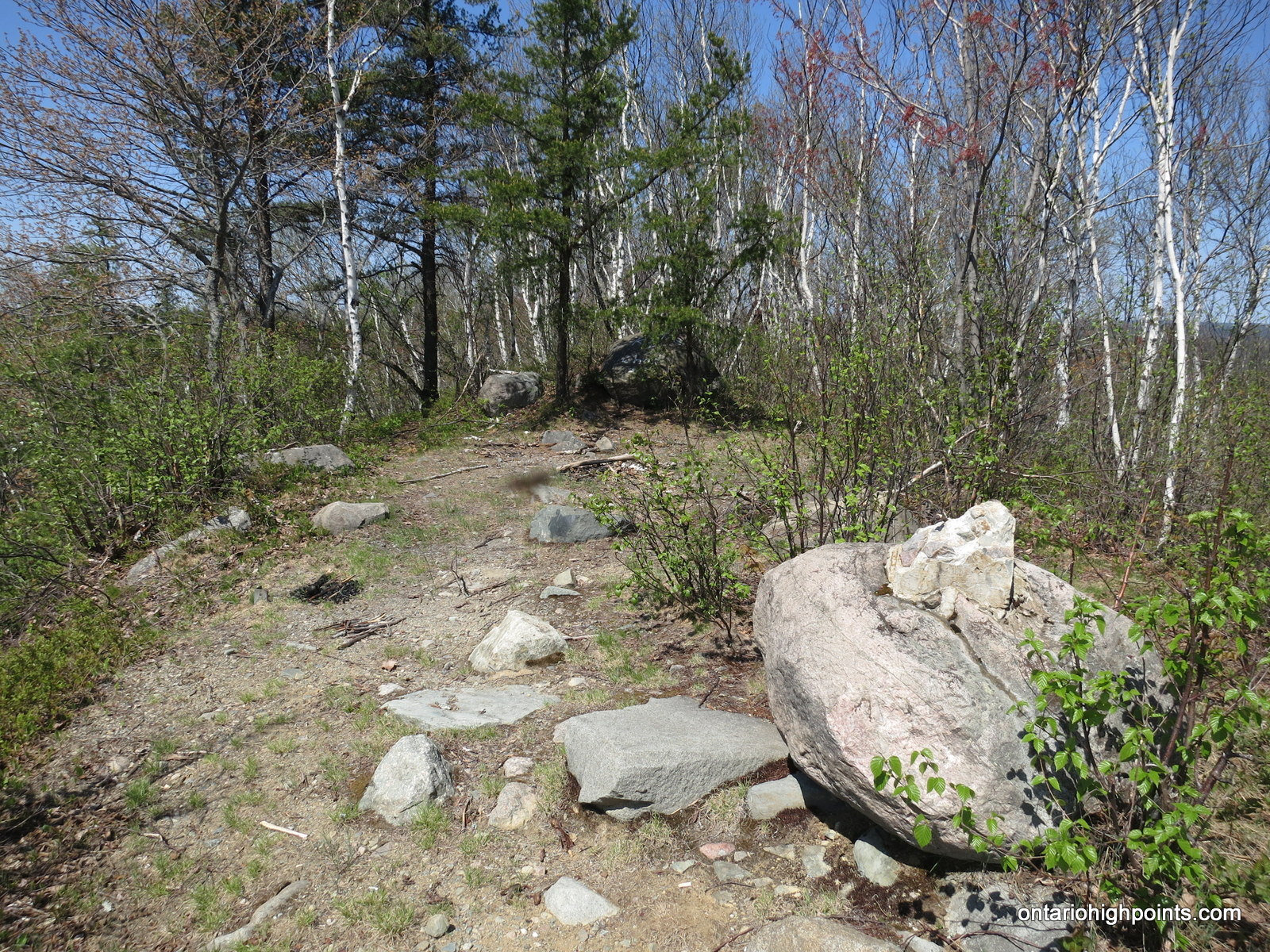
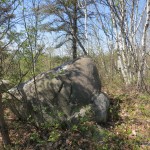
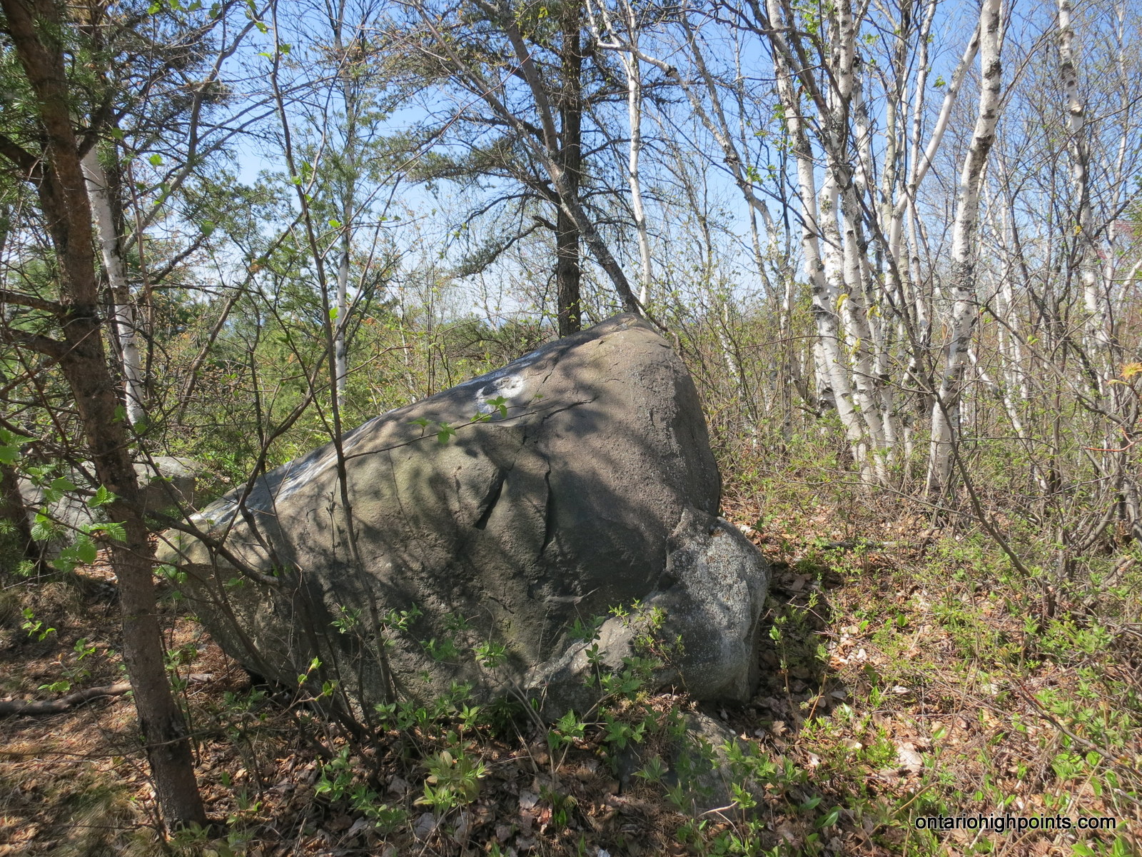
- Labelle Lake Peak summit
-
- Deteriorated fire tower footing
-
- Highest point on the summit
-
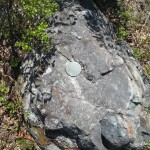
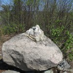
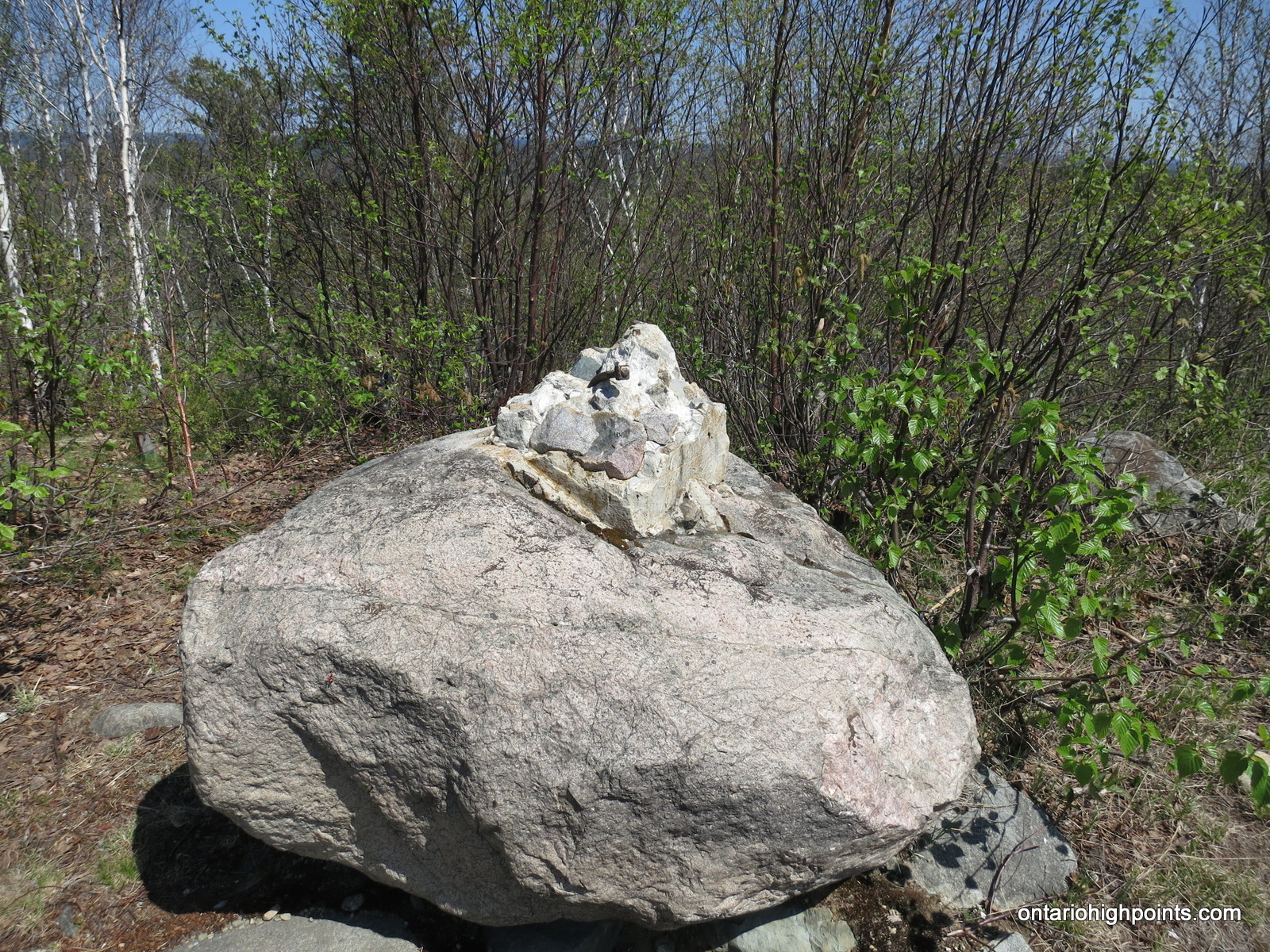
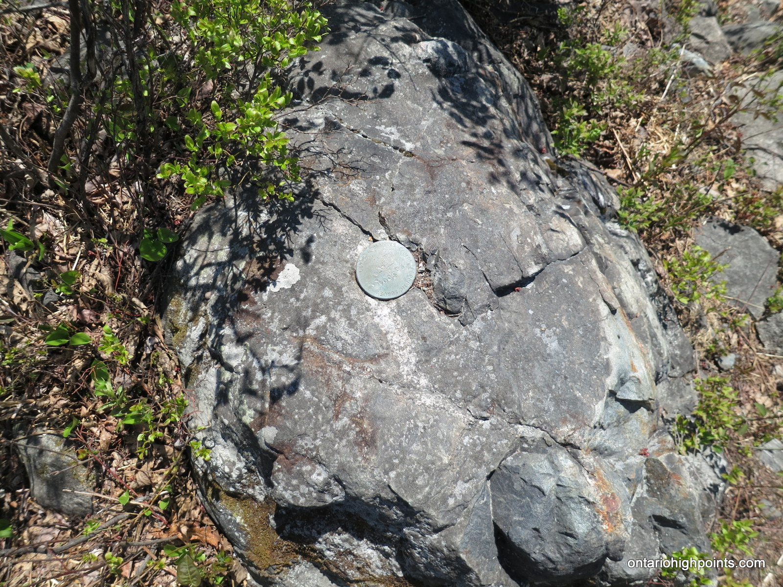
- Geodetic survey marker on summit
-
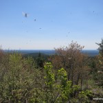
- Blackflies
-
- Panoramic from Labelle Lake Peak
-
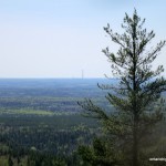
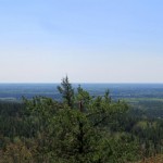
- Sudbury’s Super Stack in the distance
-
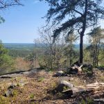
- Fire pit with a view
-
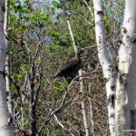
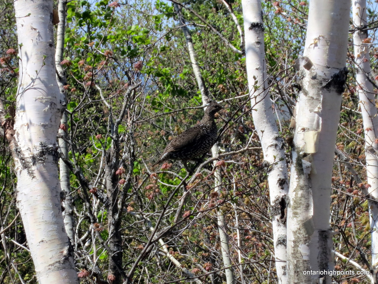
- A grouse perched in a tree
-
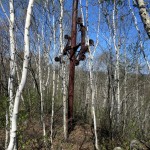
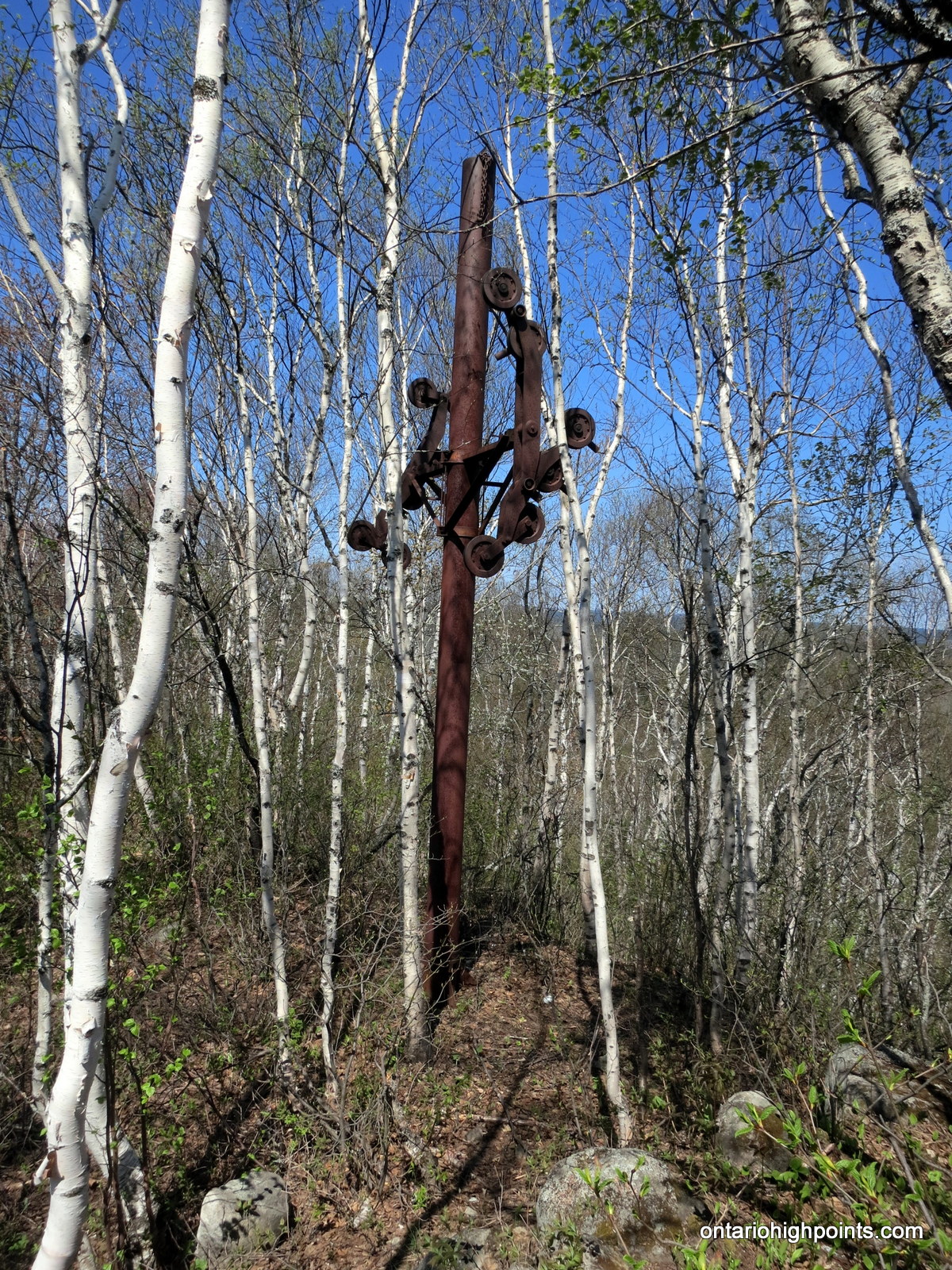
- Old ski lift tower at the summit
-
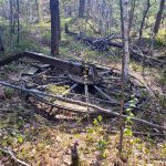
- A wheel off the ski lift
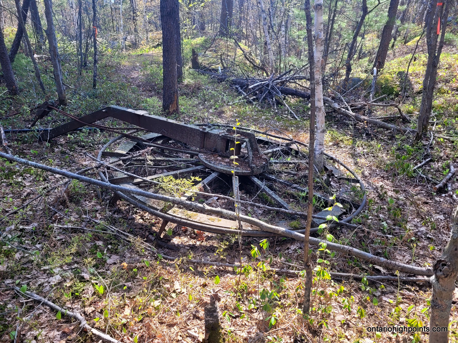
-

- Part of the ski lift
Videos:
Labelle Lake Peak GPS Track (.gpx format)
Related Links:
ValleyView GeoCache
Looks like you picked a great day for that hike Derek. The photos turned out perfect.
Still at it Derek! Great to see. I believe the ski hill was called “Flomont” (Flow-mont) if I’m not mistaken. I would love to see some old photos of the hill when it was in use as a ski area. I visited the site around 1990 and climbed straight up the old T-bar line.
Mike
Thank you Derek for posting. I just came across the mention of a lookout in a topo map and considered snowshoeing up there. I’ll probably wait and go this summer instead.
I was just there a few days ago. I didn’t hike the mountain but the road is much better getting there. Lots of room to park. I plan on hiking this before winter.
We used to skin up and ski this most weekends in the late 80’s and 90’s.
Also towed both kids up in a chopped and modified kayak.
Still skiing backcountry but at bigger hills.
Skined up in late November with the splitboard. The old ski hill section is unridable due to alder growth. The backside could have some potential… The ride down the quad trail was still kind of fun!