Peak 486
Posted by Derek on Sep 12, 2022
Height: 1594 feet / 486 meters
GPS recorded height: 1594 feet / 486 meters
Lat/Lon: N46.69648 W81.17519
Date Summited: July 26, 2022
Directions / Trip Report:
Back in the summer of 2021, I attempted to ascend Peak 486 from the east via Nelson Lake Road / Eastern Nickel Offset Road, but aborted after discovering that Nelson Lake Road was closed to the general public near Labelle Lake (by the Vale Mining Company?). After pouring over my maps, I traced out some alternate potential routes to the peak on Google Earth. The most viable option was a route from the west via a series of quad/atv paths, beginning at the terminus of Nickel Offset Road at Sandcherry Creek just north of the Vermillion River (north of Chelmsford).
To get to the parking area and start of the hike at Sandcherry Creek, make your way to Chelmsford (via Hwy 35 or Hwy 144) and turn north onto Montpellier Road. Montpellier doglegs at McKenzie Road. Taking a right at McKenzie Road then turn left again on Montpellier and follow it for for 6.3 km until the intersection with Morgan Road. Turn left (west) onto Morgan Road and follow it for 1.7 km. Turn right (north) onto Nickel Offset Road. Follow the road for 5 km to the terminus at Sandcherry Creek, where there should be plenty of space to park.
Ford Sandcherry Creek and follow the the main quad trail north. There is a another required ford of Sandcherry Creek at 1.1 km, and a bridge crossing (Island Creek) at 2.5 km. After 2.9 km from the start, turn right onto a secondary quad trail.
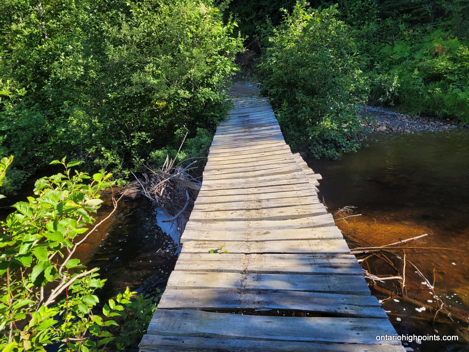
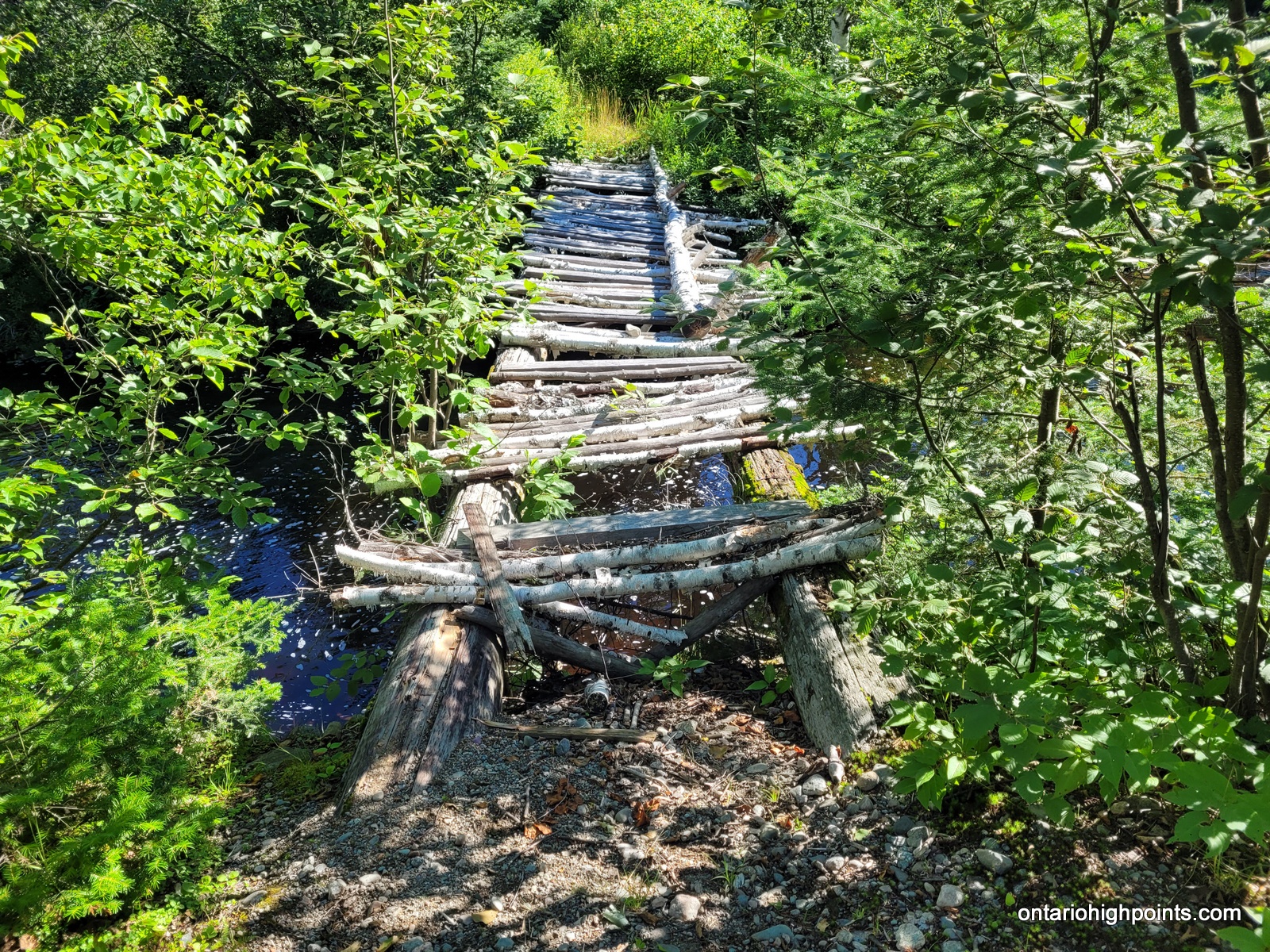
300m beyond the turn (3.2 km from the start), you will arrive at a rustic/primitive bridge. You may wish to ford the creek (3rd crossing of Sandcherry Creek) instead of using the bridge. Beyond this bridge, there is one more small creek crossing at 4.7 km. After this the 2-track quad path (Eastern Nickel Offset Road?) continues north, then northeast, as it follows along the northern edge of the creek and it’s multiple marshlands.
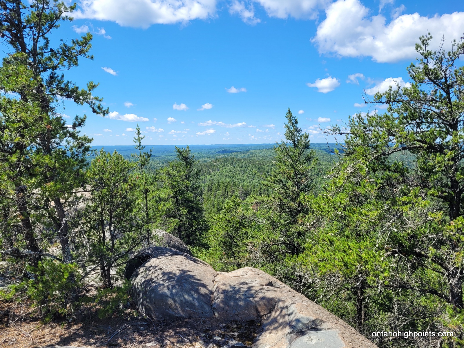
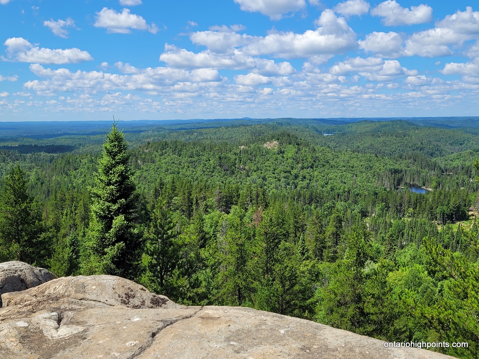
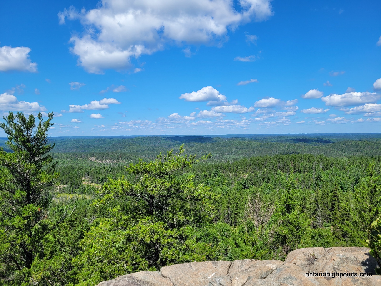
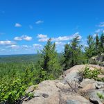
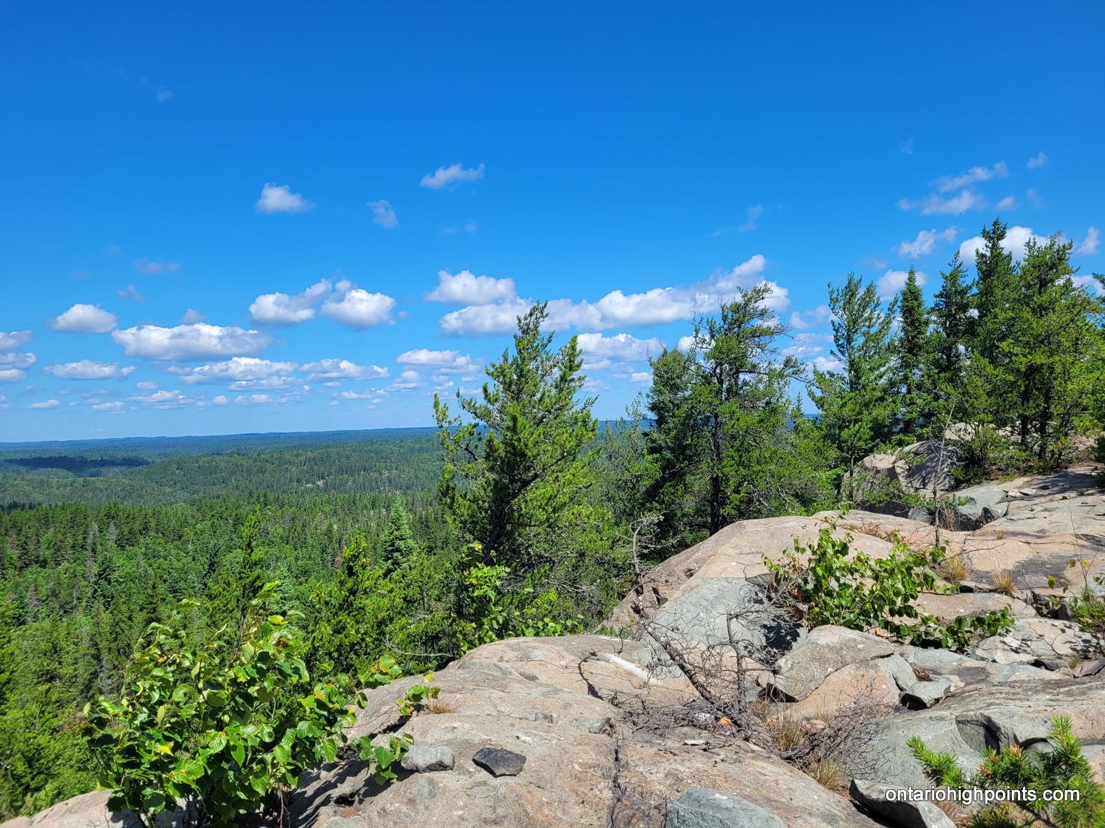
There’s a left turn to stay on the main trail 8.8 km. At 10.3 km, take the right turn south and depart the main trail along a more rugged quad path. Follow this trail as it meanders roughly southeast. There’s a couple of steep ascents and descents as you make your way towards the summit of Peak 486. The quad path ends at 12.8 km, where a rough trail completes the final 120 meter ascent up to the summit. There are goods views west and south along the rock ridge. There’s a strange ‘metal table’ like structure that is situated near the highest point.
View a larger version of the map
Trip Summary:
00.0 km – Parking @ terminus of Nickel Offset Road / Sandcherry Creek Crossing #1 (8:08 AM)
01.1 km – Arrived Sandcherry Creek Crossing #2 (8:30 AM)
03.0 km – Arrived at Bridge crossing Island Creek (9:12 AM)
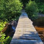
03.8 km – Arrived at Sketchy Bridge crossing Sandcherry Creek (9:21 AM)
04.7 km – Arrived at small creek crossing (9:35 AM)
08.8 km – Left Turn at fork (10:32 AM)
10.3 km – Right Turn onto quad side trail (10:50 AM)
11.4 km – Right Turn at fork (11:06 AM)
12.8 km – Quad Trail ends / Rough trail to summit begins (11:32 AM)
12.9 km – Arrived at Peak 486 summit (11:37 AM)
13.4 km – Departed summit of Peak 486 (12:19 PM)
25.6 km – Arrived back at parking on Nickel Offset Road (3:30 PM)
Gallery:
-
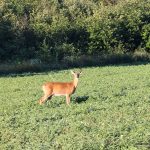
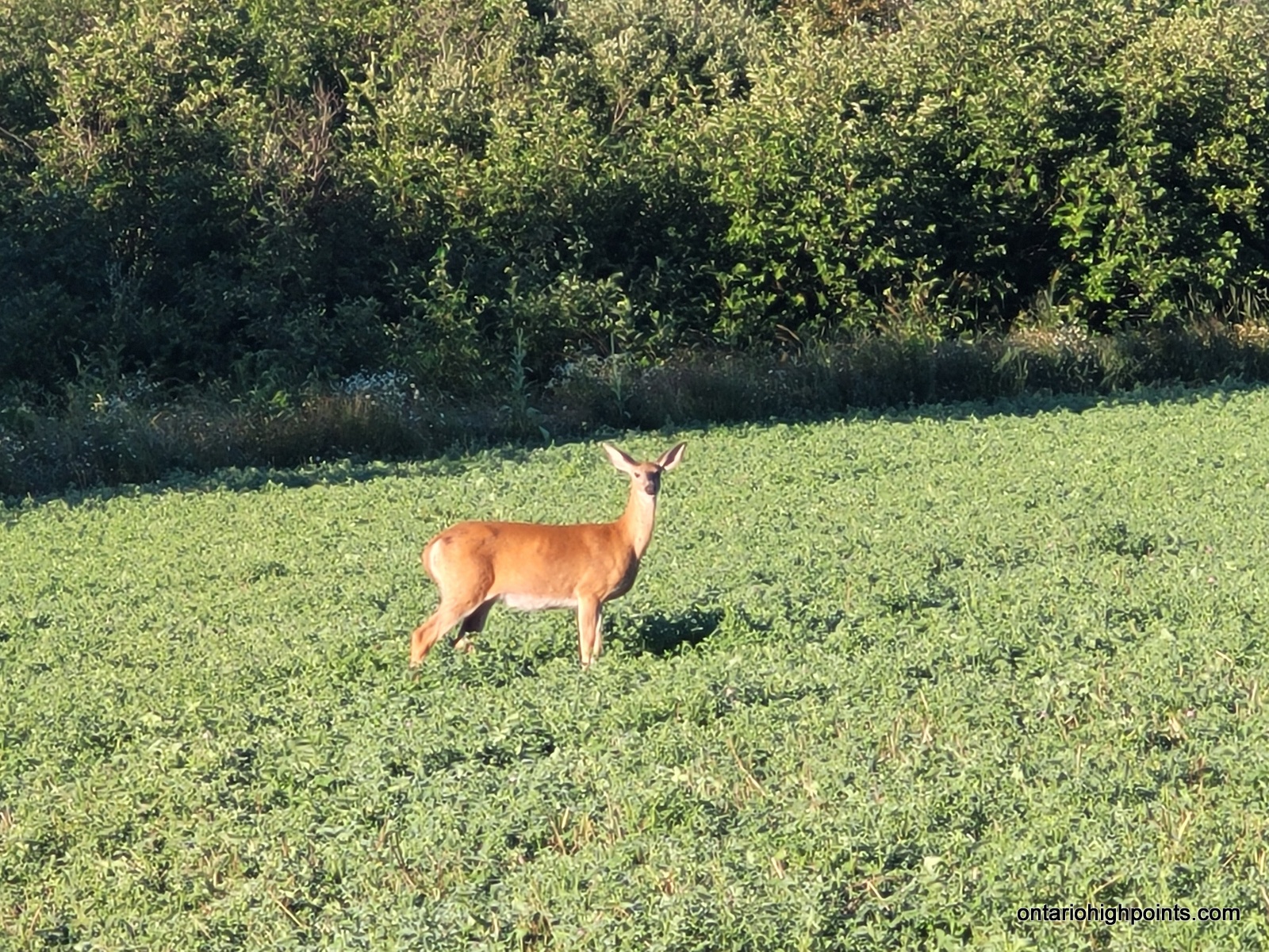
- Deer in a field (from Montpellier Road)
-
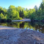
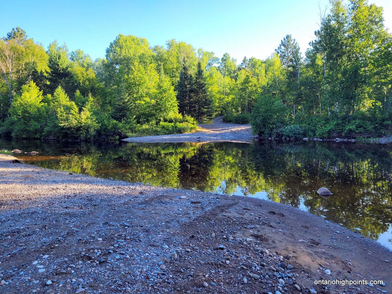
- Sandcherry Creek crossing #1
-
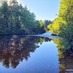
- Sandcherry Creek – looking downstream
-
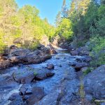
- Sandcherry Creek falls
-
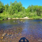
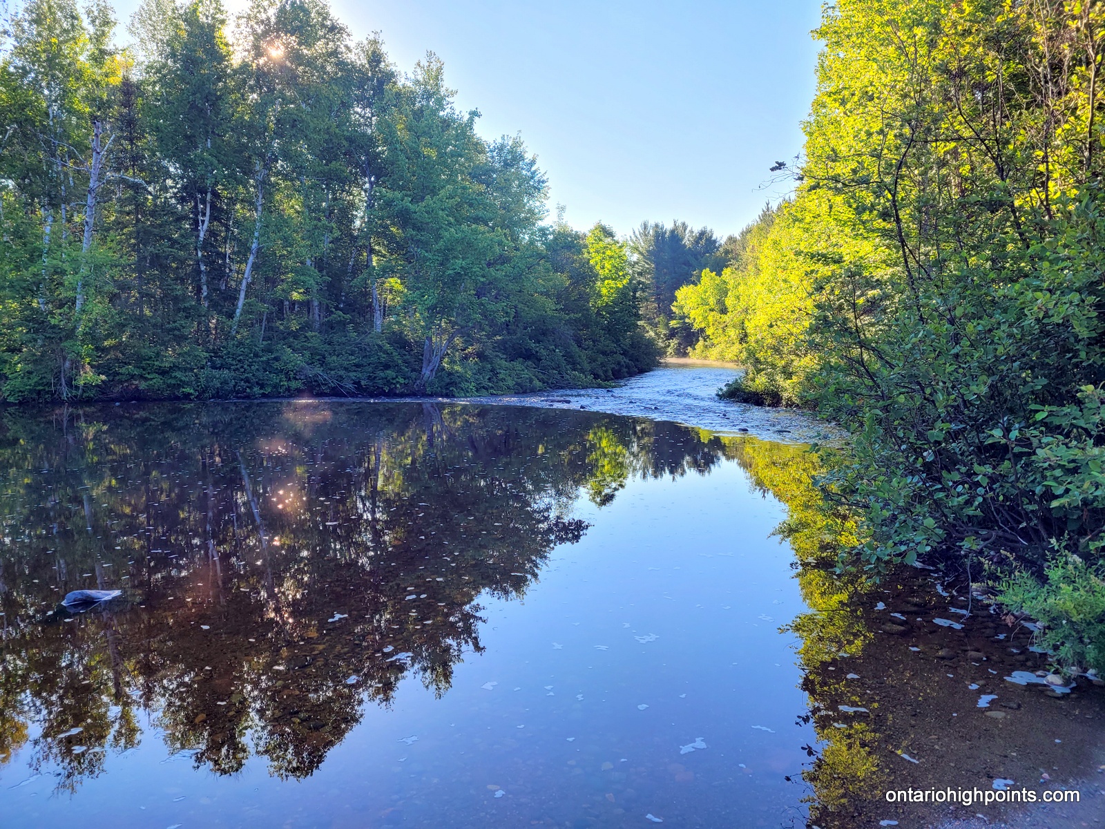
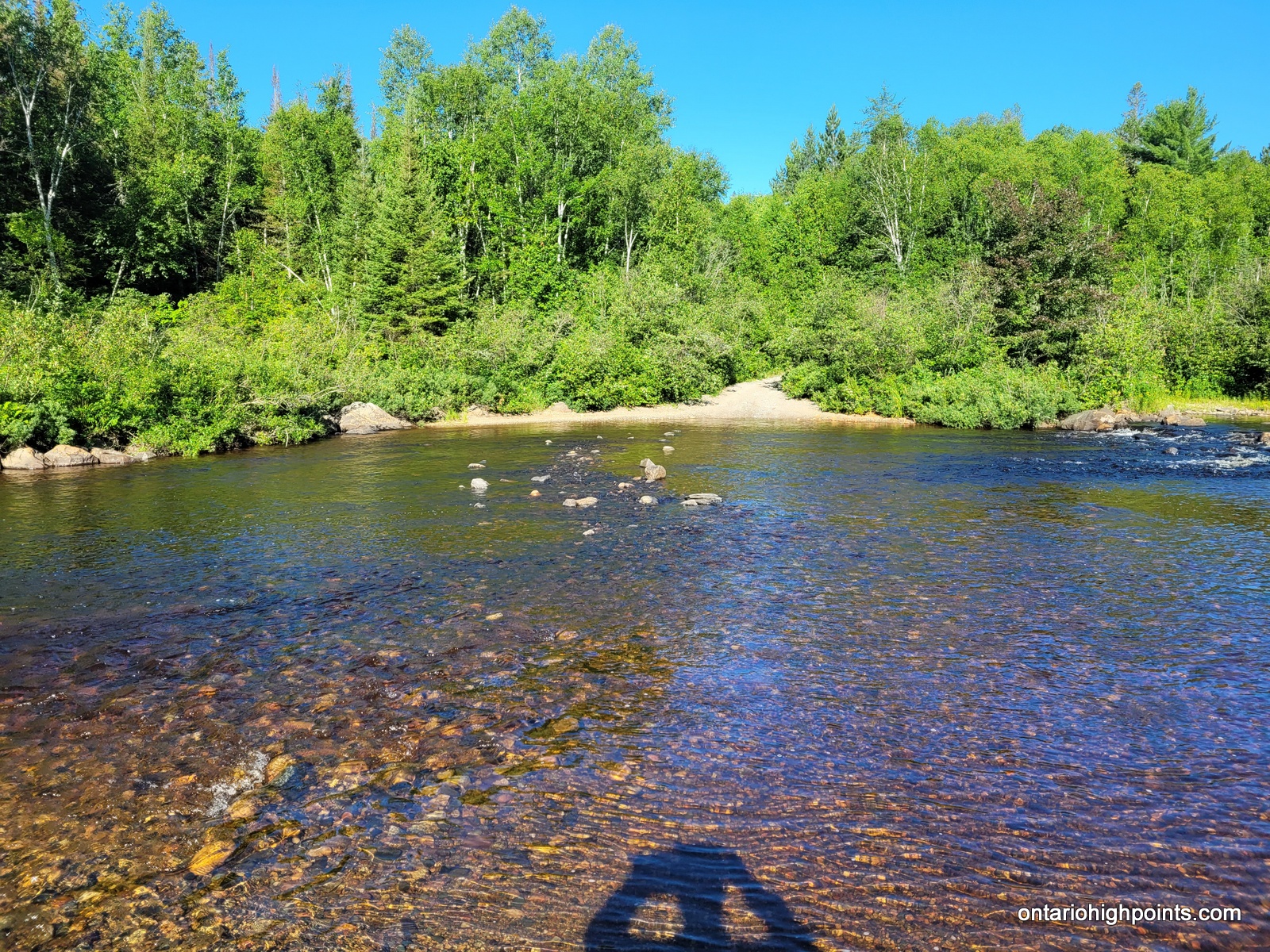
- Sandcherry Creek crossing #2
-
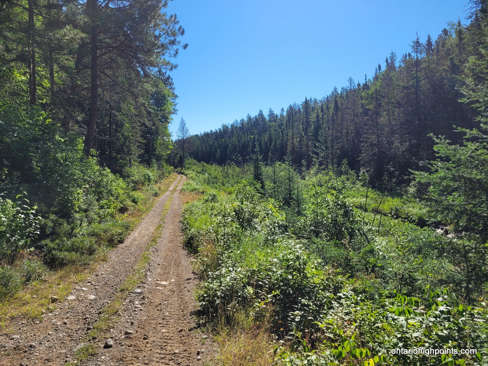
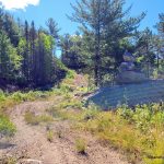
- Following the quad trail
-
- Bridge crossing over Island Creek
-
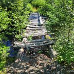
- Sketchy Bridge crossing Sandcherry Creek – crossing #4
-
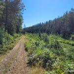
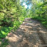
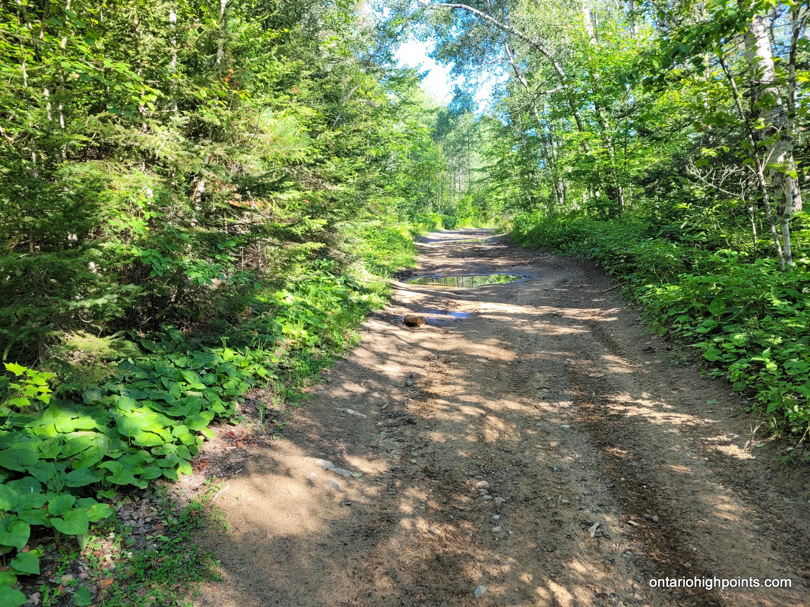
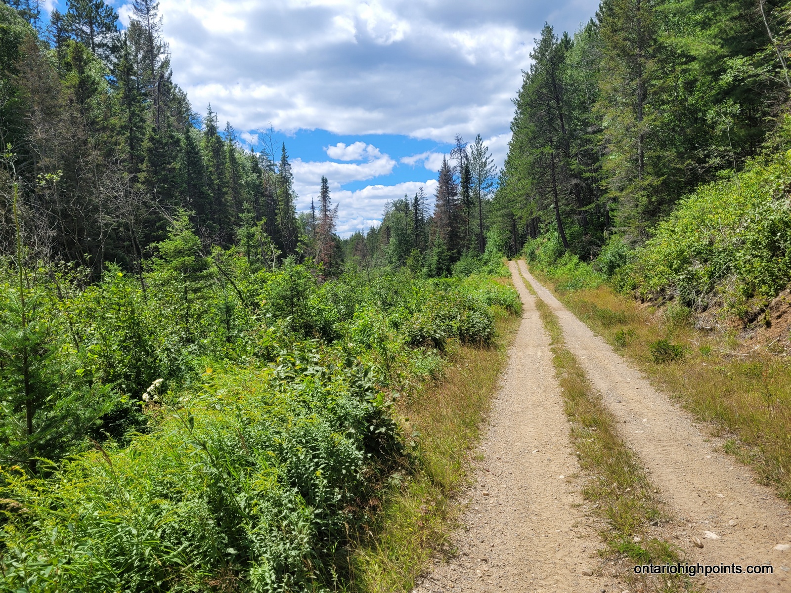
- Eastern Nickel Offset Road
-
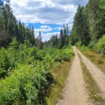
- Eastern Nickel Offset Road
-
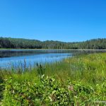
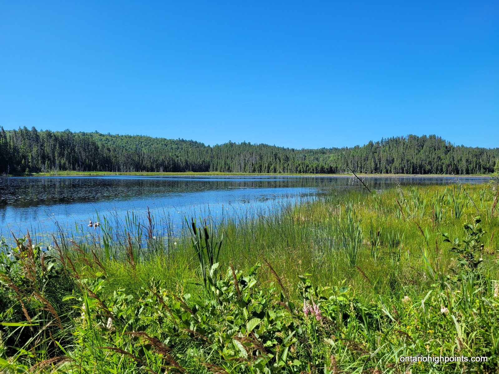
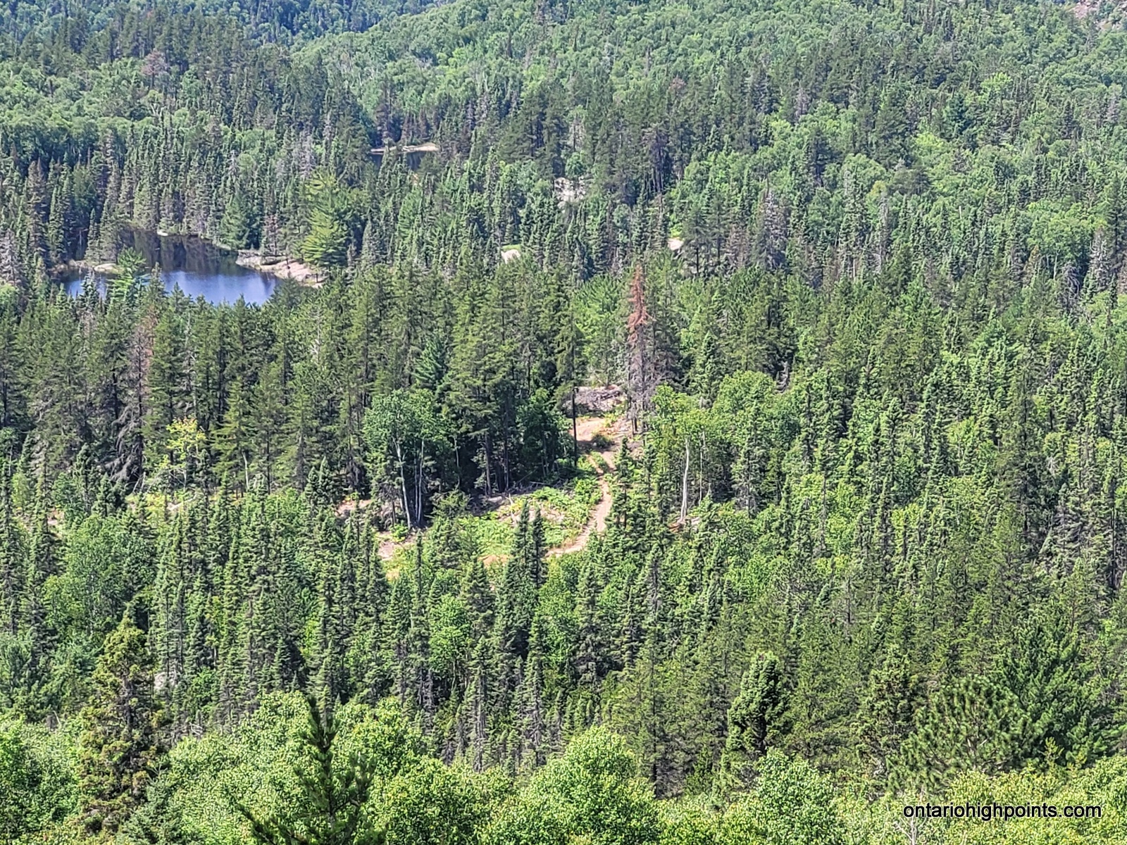
- Unnamed Lake near Wilfred Lake
-

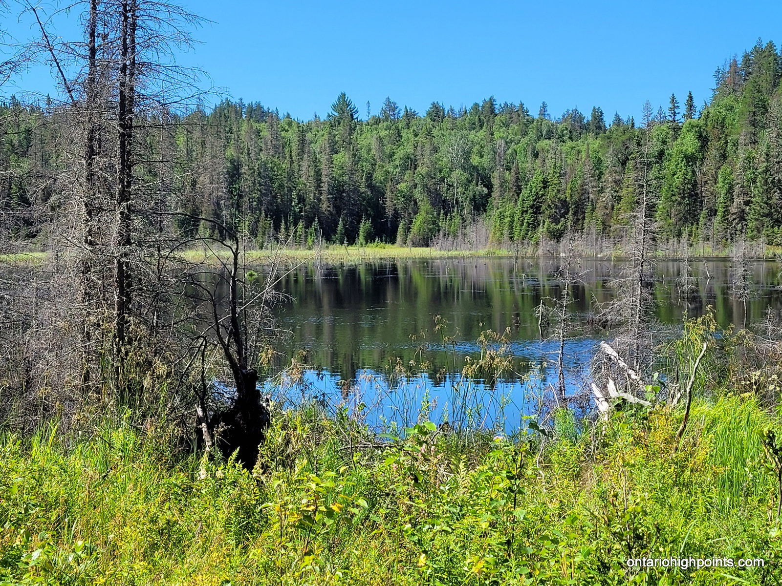
- Unnamed Pond on route to Peak 486
-
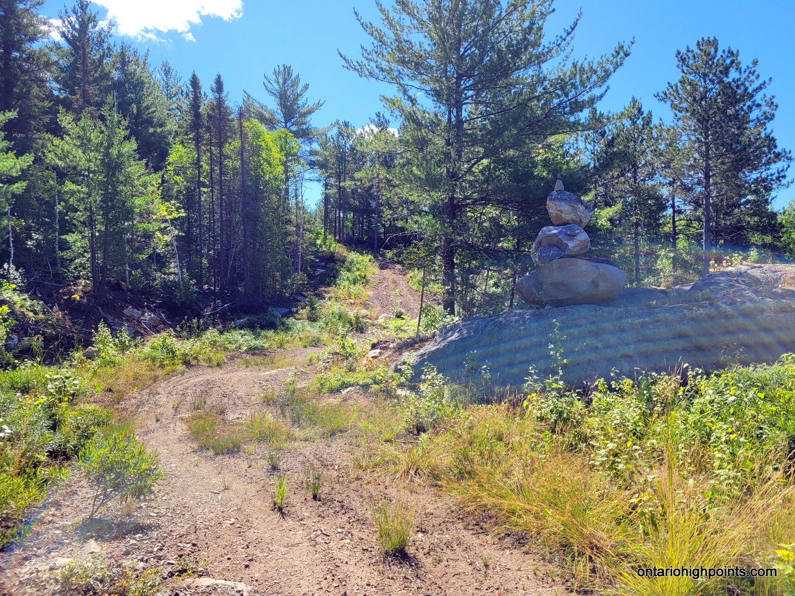
- Stacked rocks
-
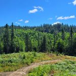
- The Peak 486 ridge
-
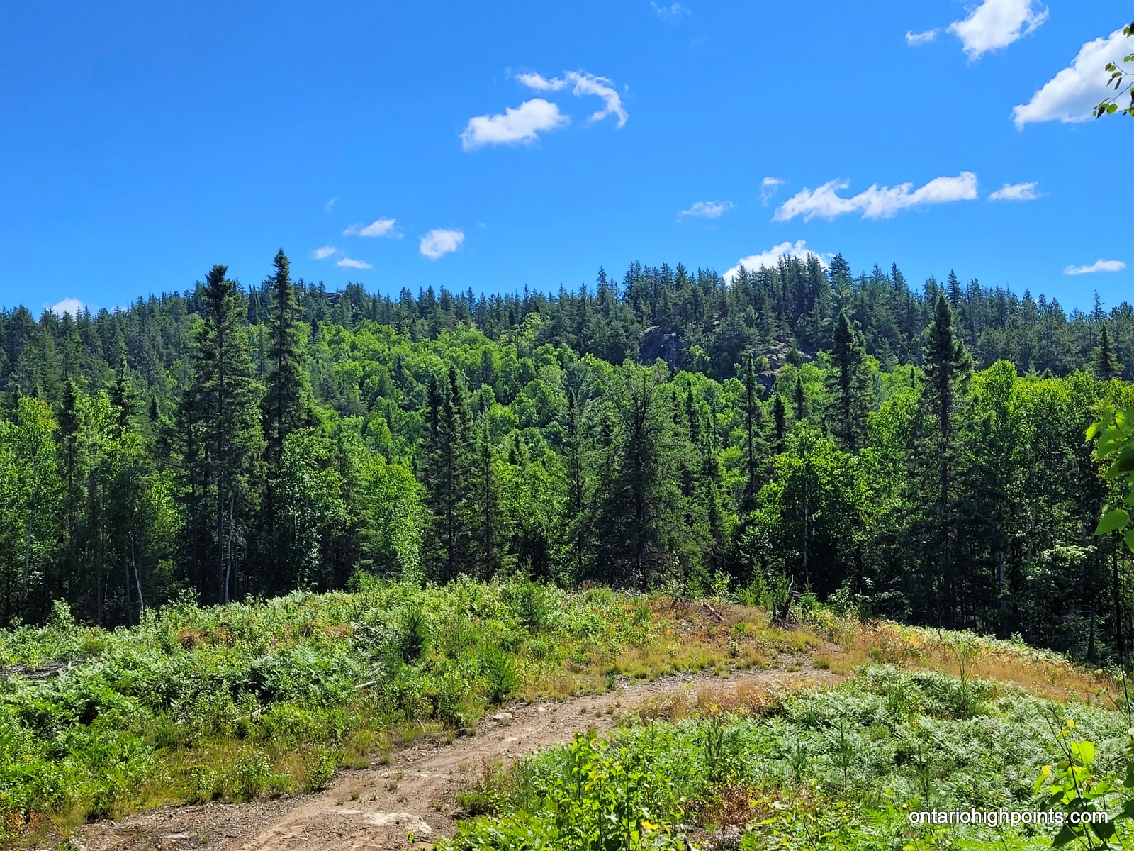
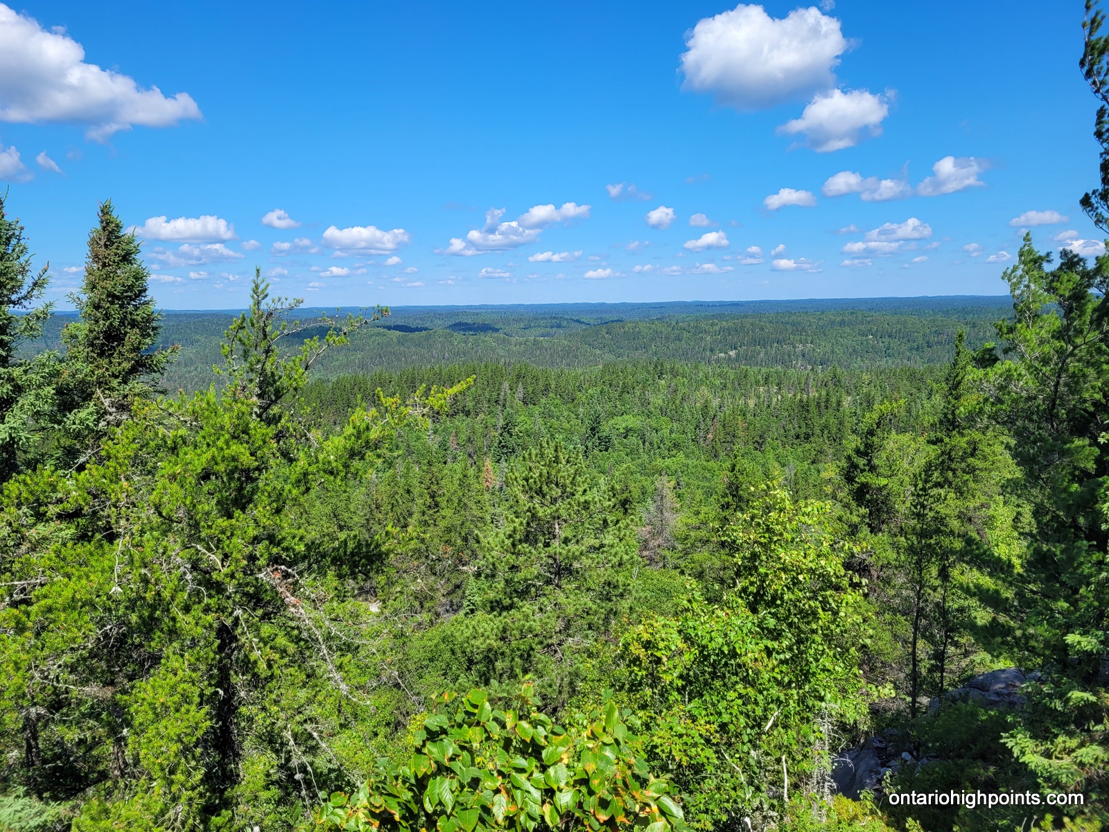
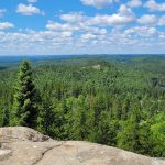
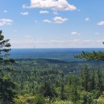
- View from Peak 486
-
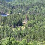
- View of the route in
-
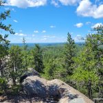
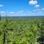
- View from the summit
-
- View west
-
- View northwest
-
- View north
-
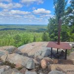
- Peak 486 summit with metal platform

-
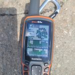
- GPS elevation

-
- View south

-
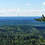
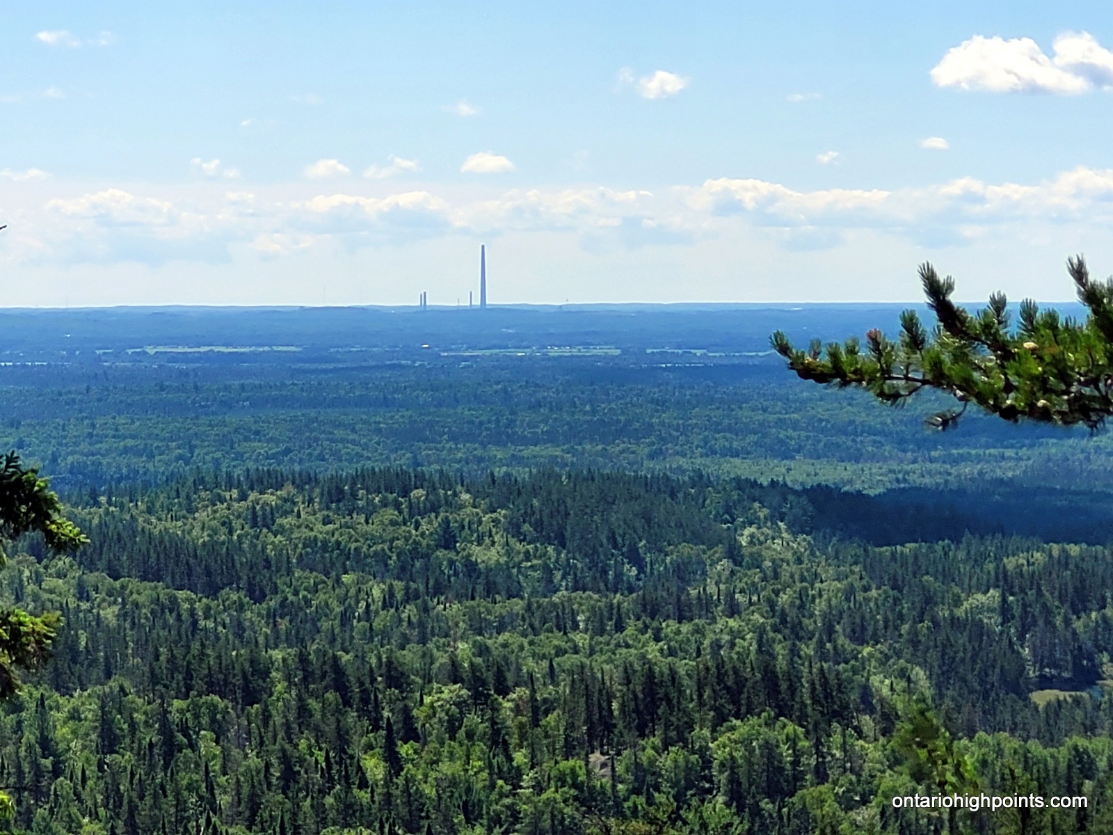
- View of Sudbury Super Stack
GPS Tracklog (GPX Format):
Peak 486 GPS Track
Related Links:
Peak 486 on Peakbagger.com