Sleeping Giant – Revisited
Posted by Derek on Oct 20, 2016

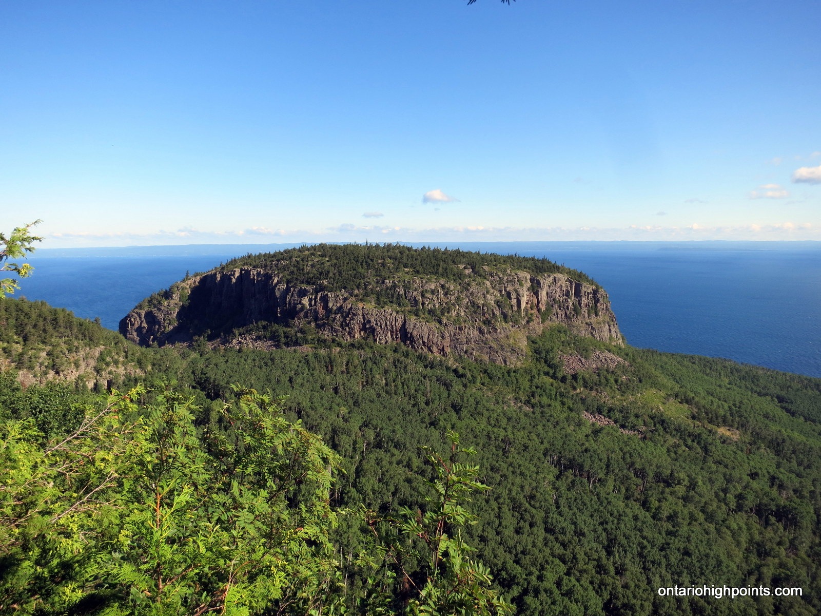
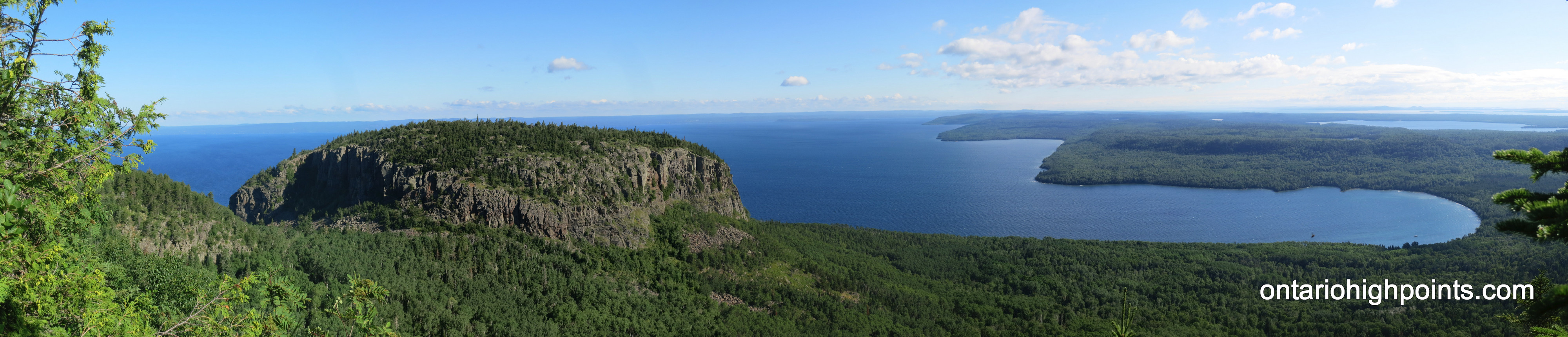
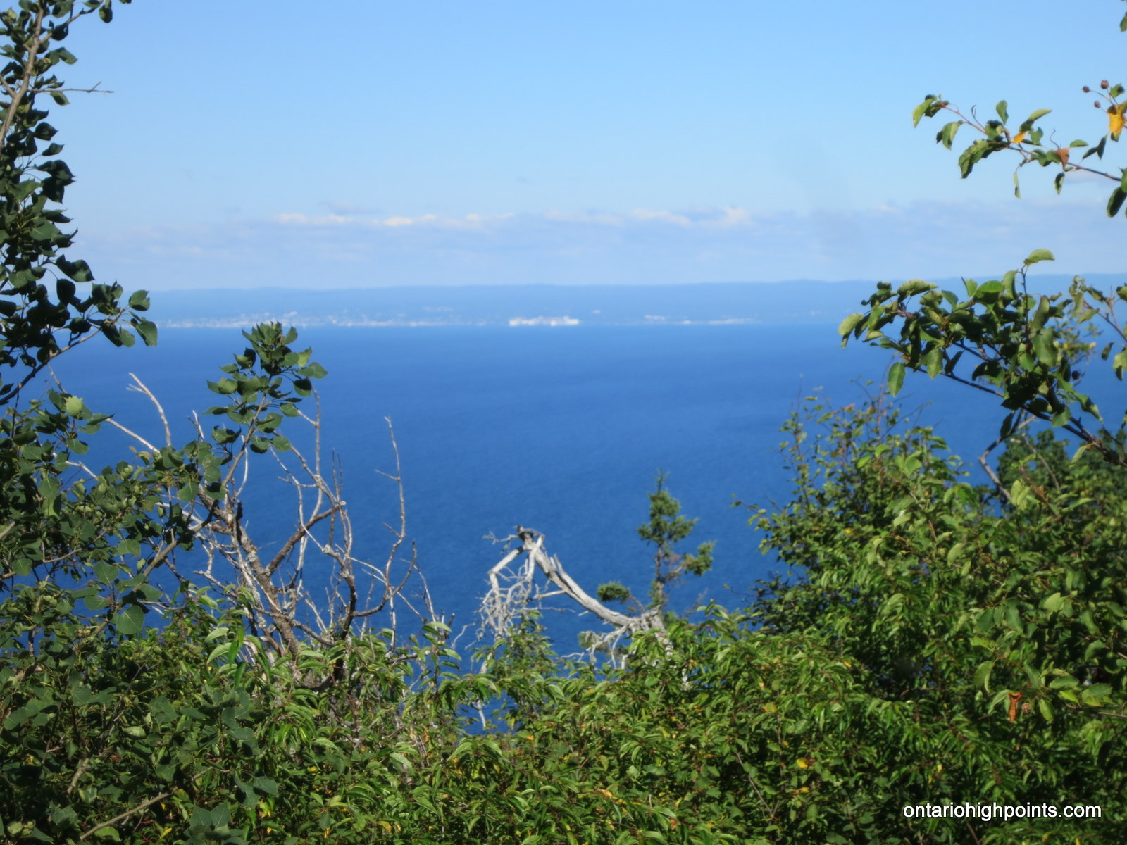
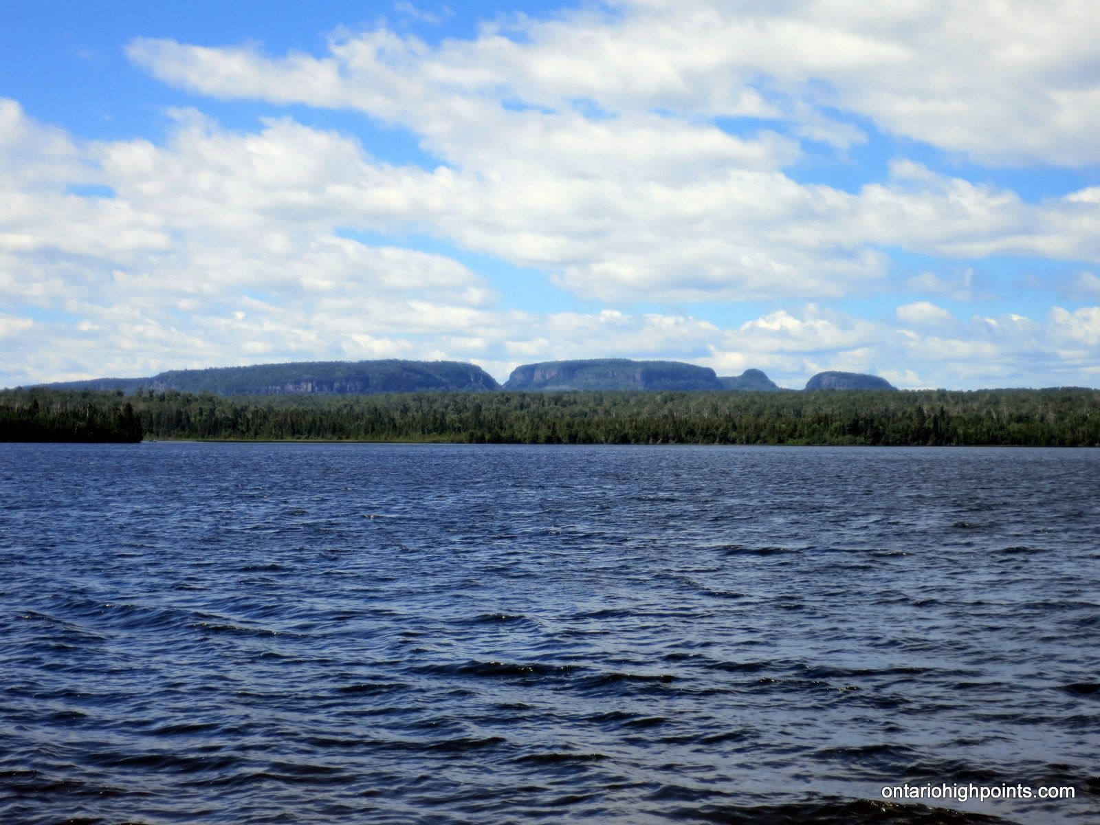
Sleeping Giant seen from Thunder Bay
Height: 1847 feet / 563 m
GPS recorded height: 1850 feet / 564 meters
Prominence: 1247 feet / 380 m
Lat/Lon: N48 21.026 W88 53.932
Date Summited: July 25, 2016
Overview:
The Sleeping Giant is a formation of mesas and sills on Sibley Peninsula which resembles a giant lying on its back when viewed from the West to North-Northwest section of Thunder Bay, Ontario, Canada. When measured from the elevation at Lake Superior (600 feet) to the highest point (1847 feet), The Sleeping Giant has the highest vertical rise in Ontario (1247 feet). The most popular destination on the Sleeping Giant is the Chimney Lookout on the Knees which overlooks Lake Superior and spectacular rock formations. The highest point is on the Chest and it is 600 m away from the Chest Trail which leads to the Nanabosho Lookout. The highest point along the trail system is along this trail, just a 100 m from the lookout.
Directions:
Sleeping Giant is located at the south tip of the Sibley Peninsula in the Sleeping Giant/Sibley Provincial Park –about 25 km due east of Thunder Bay. To get the park from Thunder Bay take Hwy 11/17 east for 47 km to the junction with Pass Lake Road / Ontario 587. Head south on this road for 34 km.
Depending on your destination on the Sleeping Giant, there are a few options for the trek. The most popular destination is the Lookout on the Giant’s Knees, however the objective for this hike was to get to the highest point on the Giant, which is atop the Giant’s Chest. The shortest route to the High Point is from the north via the Sawyer Bay Trail. (My other trip report to Sleeping Giant outlines the longer, but more scenic route from the south via the Kabeyun Trail.)
Begin the journey at the the Kabeyun Trailhead on Pass Lake Road / Ontario 587, just a few km south of the Marie-Louise Lake Campground. To save time, you may wish to take advantage of the fact that biking is permitted on the Kabeyun and Sawyer Bay Trails. Sawyer Bay Trail is well maintained, however there are more than a few large hills to go over along the trail — some bikers may have difficulty on these sections.
Take the Kabeyun Trail west for 400 meters to the junction with the Sawyer Bay Trail. Take the Sawyer Bay Trail north and then west for 5.5 km to the intersection with the Talus Lake Trail (Passing the junction with the Sawyer Lake Trail at 2.5 km). Turn left/west onto the Talus Lake Take and make the moderately steep 700 foot ascent, 1.7 km hike up to the Chest Trail trailhead. Proceed north along the Chest Trail.
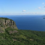
There are various options for bushwhacking to the highest point on the Sleeping Giant. One could start the bushwhack to the HP midway along the Chest Trail near N48 21.103 W88 53.444 or proceed to the end of the trail at the Nanaboshi Lookout (1.2 km from the Chest Trail trailhead) and begin the bushwhack from there. Even though it’s further from the High Point, I’d recommend starting the bushwhack from the Lookout as you get to start the hike with a nice view of the Giant’s Head with Lake Superior as the backdrop. Also, from the Lookout, the route seems to have sparser pockets of tag alder to have to push through / dodge around.
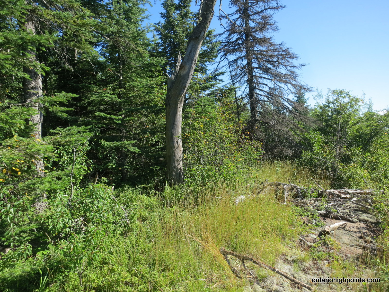
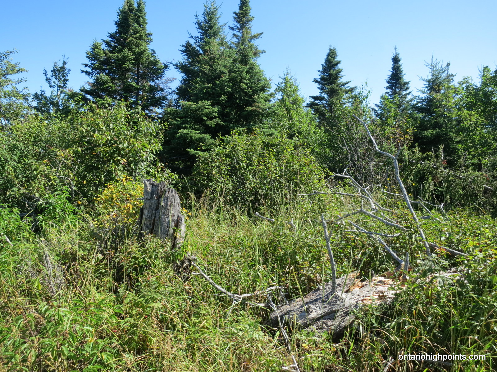
From the Nanaboshi Lookout, follow a bush path west (may be flagged with survey tape) for about 200 meters along the top of the cliff edge, then turn southwest and begin the 700 meter (as the crow flies) bushwhack to the HP. During the bushwhack you will encounter the following terrain: limited rock ledges with grassy meadows, some open forest and lots of thick tag alder forest understory. There are 2 High Point Candidates, within 100 meters of each other, at N48 21.032 W88 53.855 (Candidate #1) and N48 21.026 W88 53.932 (Candidate #2). From my estimation, Candidate #2 is the highest point — there are limited views towards Thunder Bay.
View a larger version of the map
Trip Summary:
0.0 km – Departed Kabeyun South Trailhead on bike (8:18 AM)
0.4 km – Turned Left onto Sawyer Bay Trail (8:20 AM)
3.0 km – Intersection with Sawyer Lake Trail (8:31 AM)
5.9 km – Turned Left onto Talus Lake Trail / parked bike (8:48 AM)
7.6 km – Turned Right onto Chest Trail (9:26 AM)
8.4 km – Arrived at Nanaboshi Lookout (9:44 AM)
8.4 km – Followed Bush Path West along cliff top (9:46 AM)
8.6 km – Began Bushwhack Southwest (9:51 AM)
9.6 km – Arrived at Sleeping Giant High Point Candidate #1 (10:30 AM)
9.9 km – Arrived at Sleeping Giant High Point Candidate #2 (10:44 AM)
0.0 km – Departed Summit – Bushwhacked East to Chest Trail (10:45 AM)
0.9 km – Intersected Chest Trail – Followed Trail South (11:13 AM)
1.1 km – Turned Left (East) onto Talus Lake Trail (11:20 AM)
3.0 km – Arrived Back at Sawyer Bay Trail (11:56 AM)
8.8 km – Arrived Back at Kabeyun Trailhead (12:29 PM)
Gallery:
-
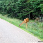
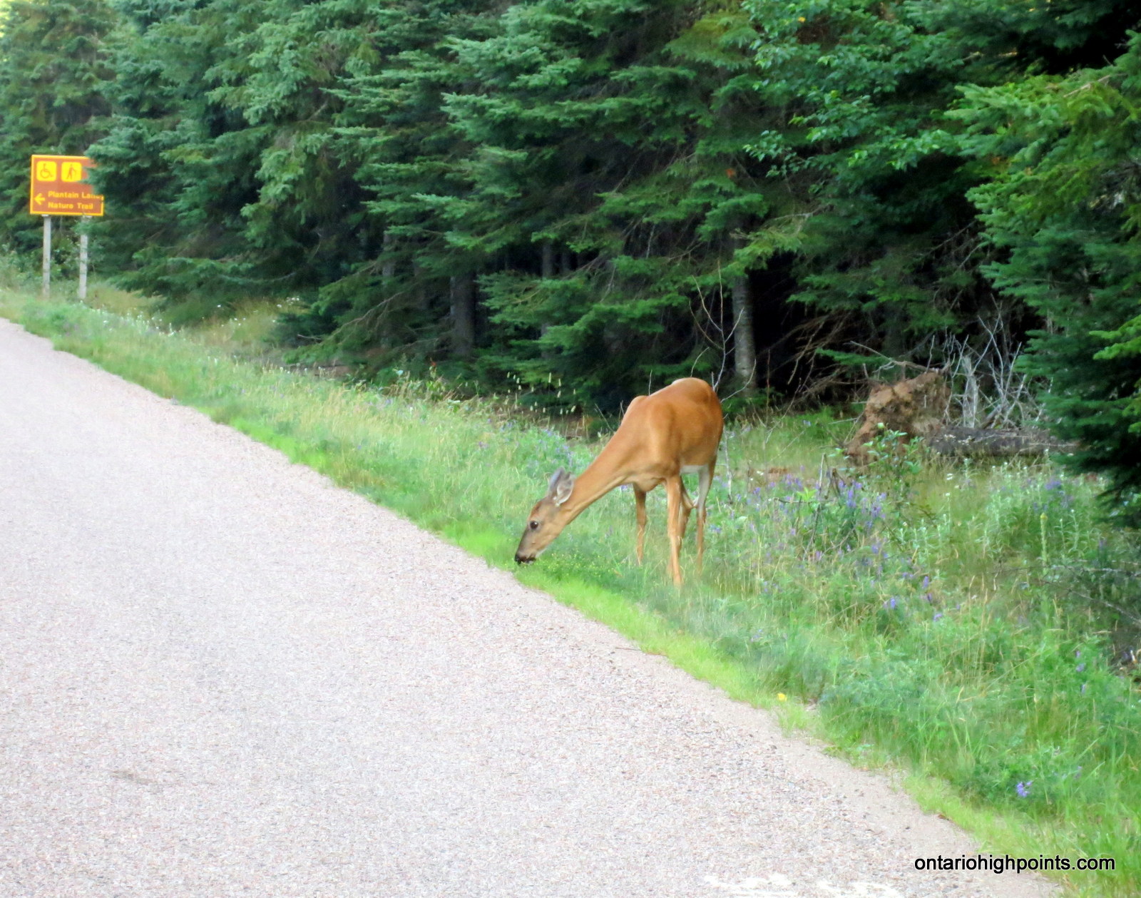
- Deer sighting on the drive in
-
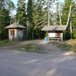
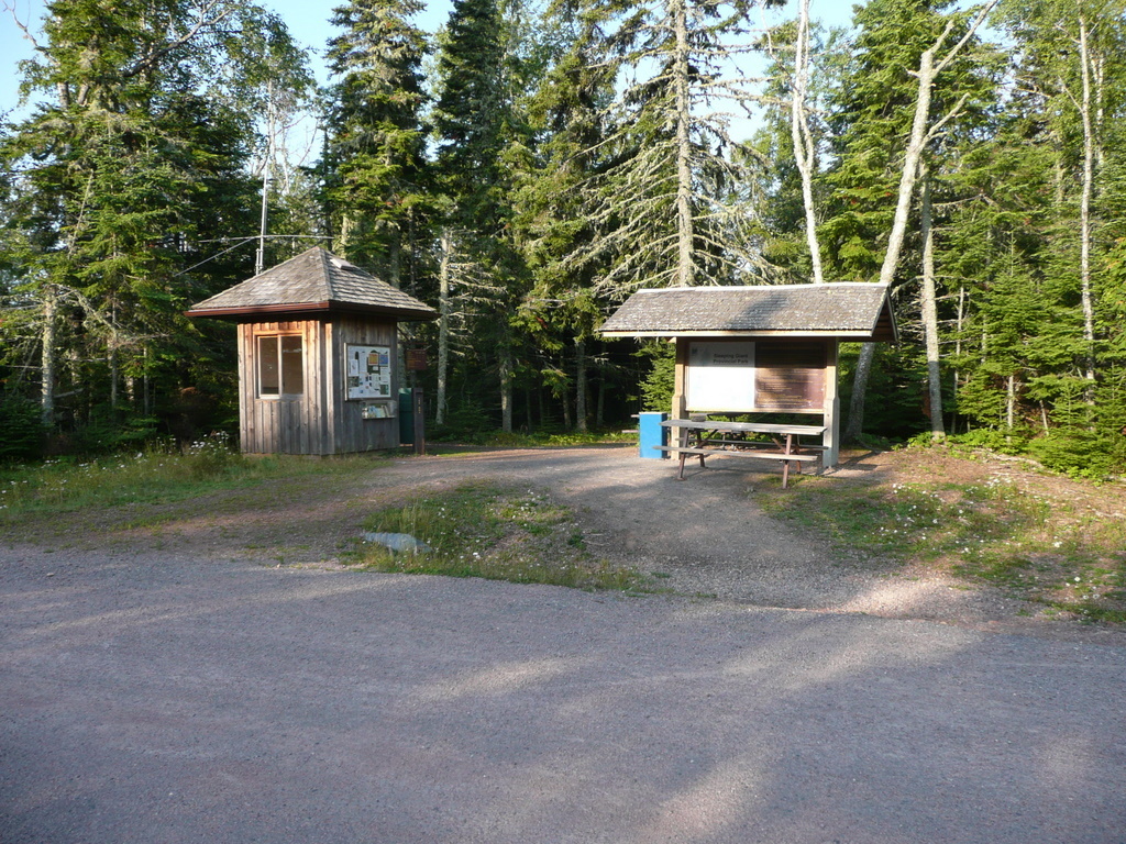
- Kabeyun South trail head + parking
-
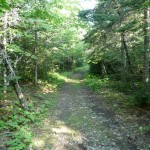
- Kabeyun Trail
-
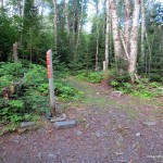
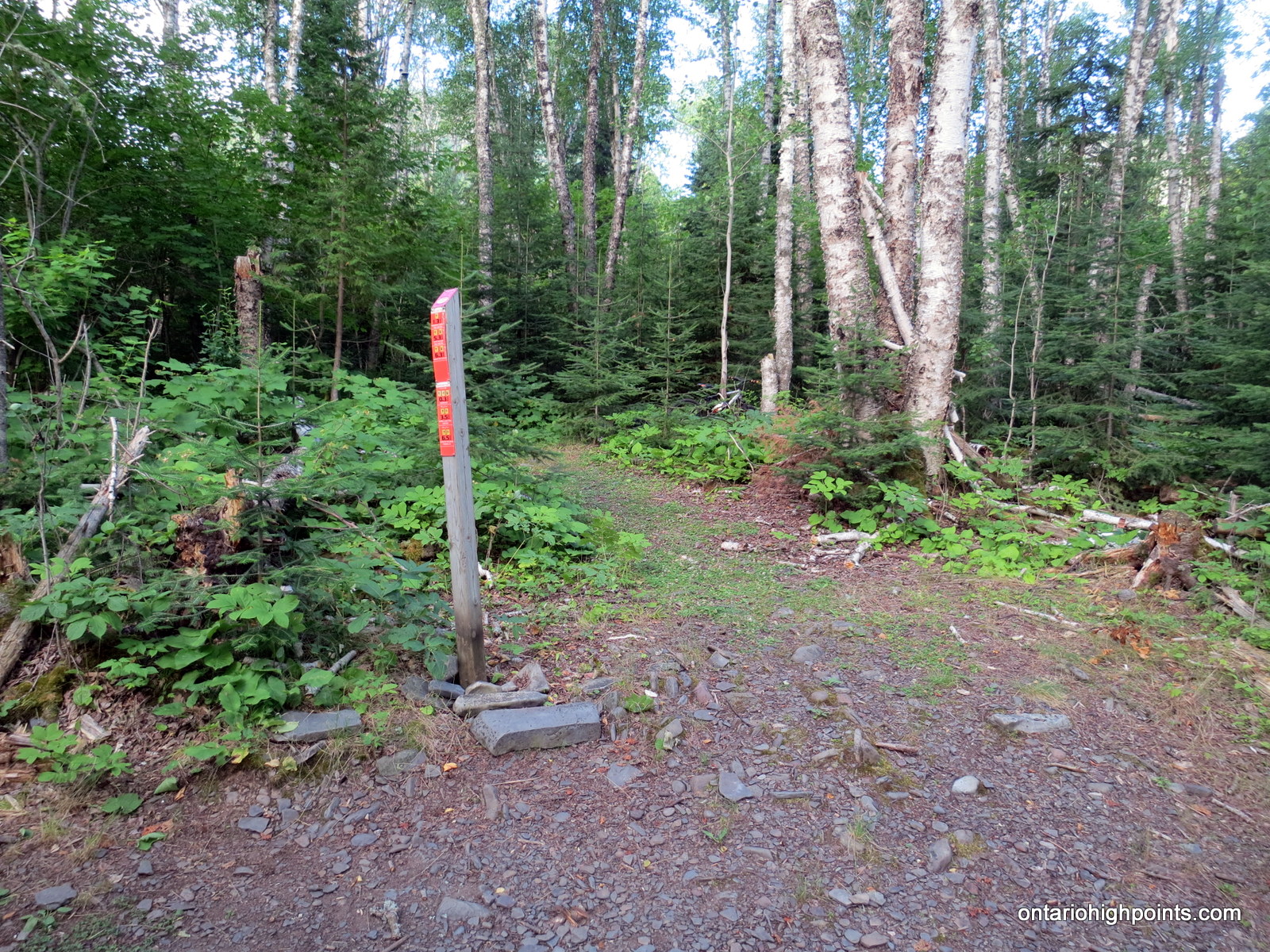
- Sawyer Bay Trail intersection with Talus Lake Trail
-
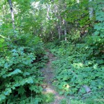
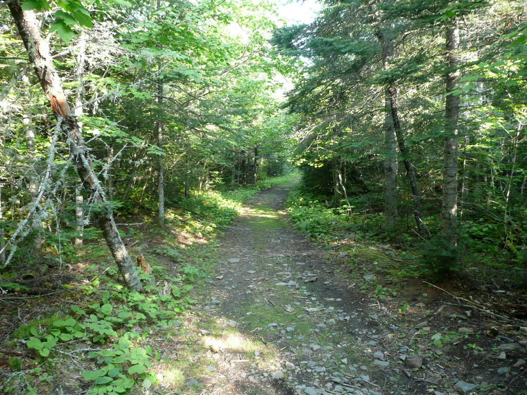
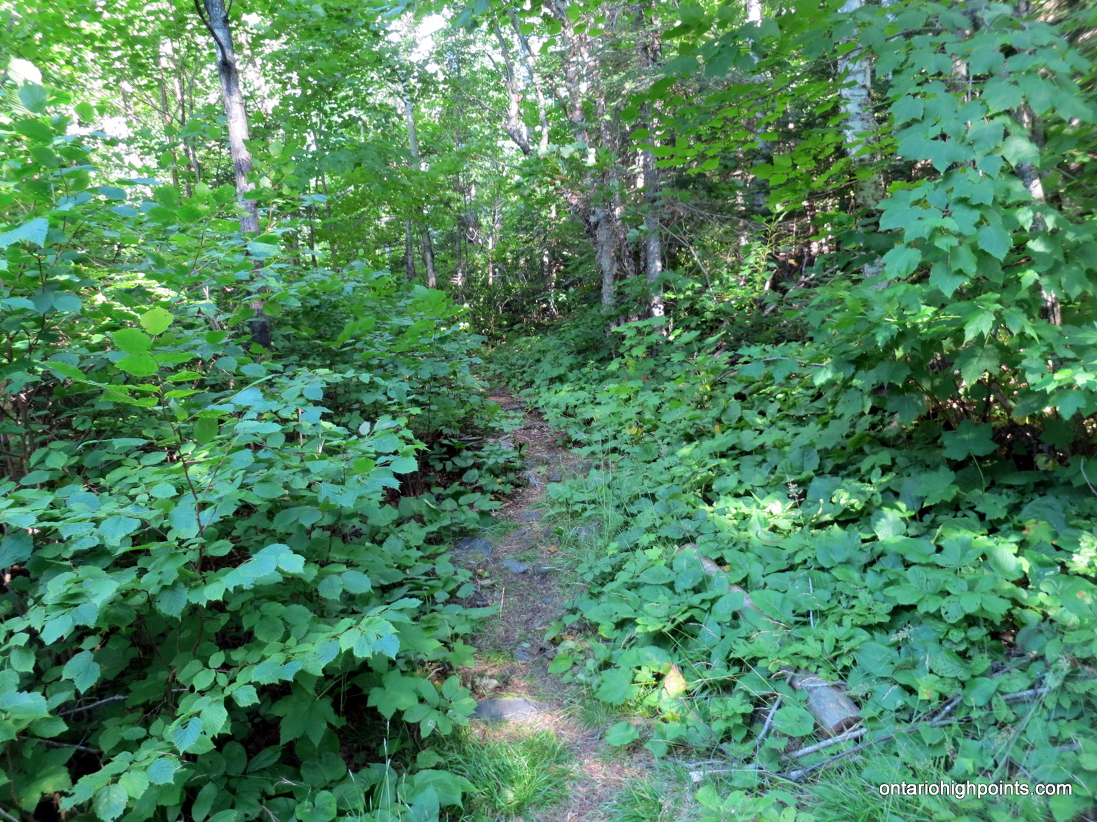
- Talus Lake Trail
-
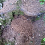
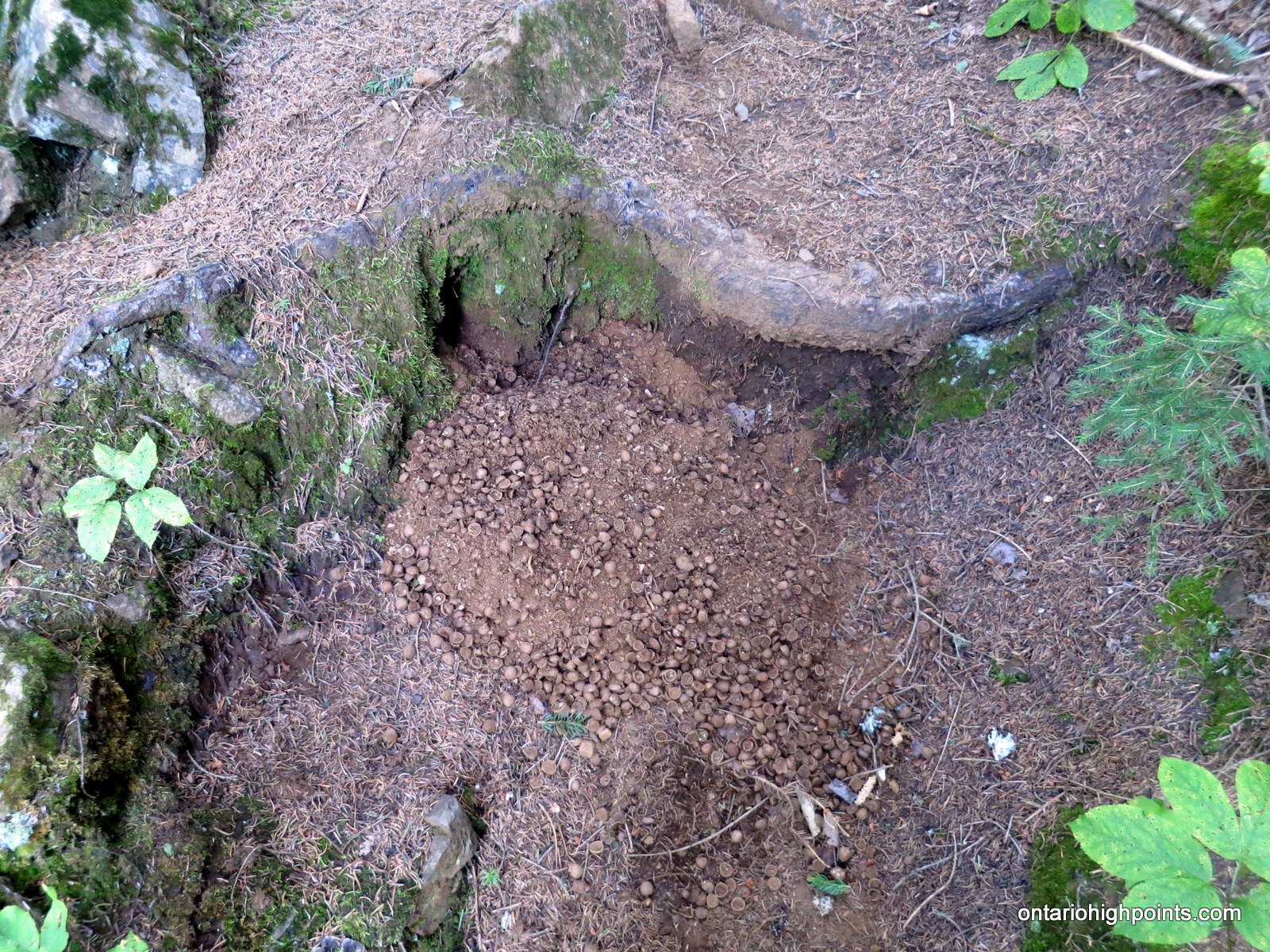
- Chipmunk burrow exit
-

- The Giant’s ‘Head’
-
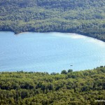
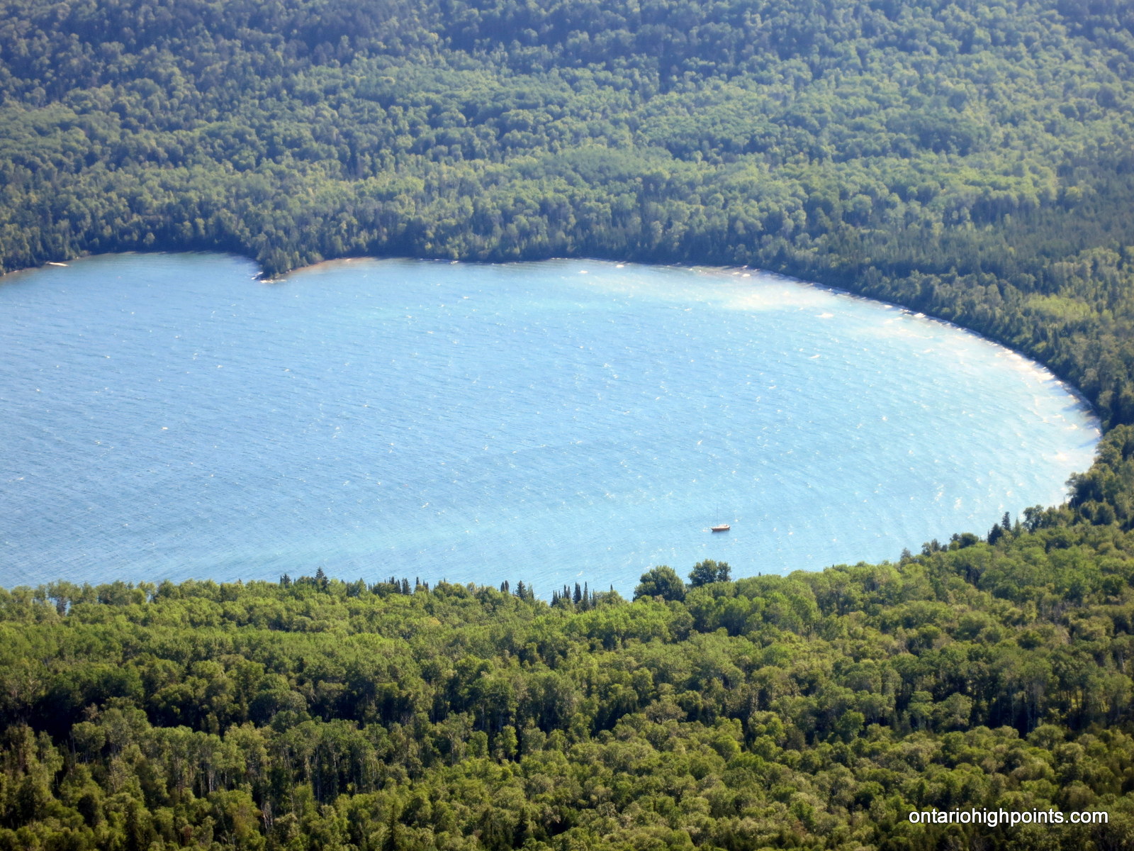
- Boat in Sawyer Bay
-
- Panoramic from Nanabosho Lookout (Chest Lookout)
-
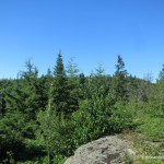
- Onroute to the very top of Sleeping Giant
-
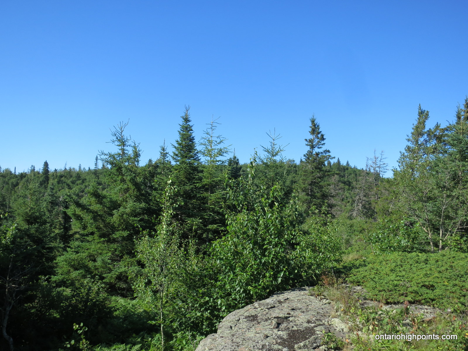
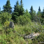
- Sleeping Giant HP Candidate #1
-
- Sleeping Giant HP Candidate #2
-
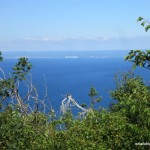
- View towards Thunder Bay from Sleeping Giant HP Candidate #2
-
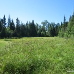
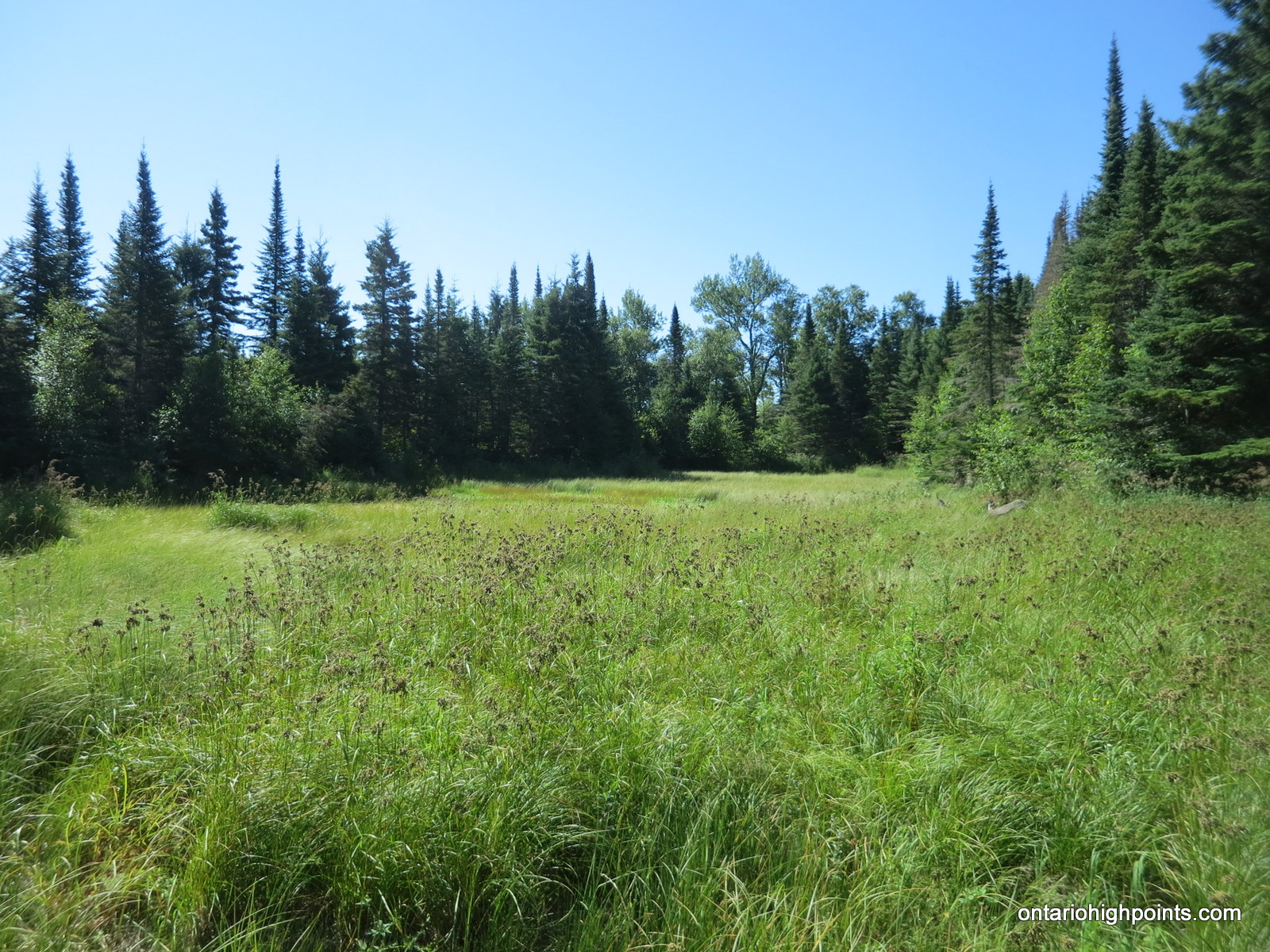
- Swamp/clearing on the way back to the Chest Trail
-
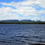
- Thunder Mountain from Marie Louise Lake
Trip report:
Sleeping Giant was my first hike on my 2016 Summer Road Trip back to the Thunder Bay area. After overnighting in my van at a picnic stop along Hwy 17, I awoke at sunrise and completed the drive to the turnoff onto Pass Lake Road / Ontario 587. Driving south along the road, I crossed the park boundary and made my way to the south end of the park. Along the route in, I encountered a small deer feasting on the grass at the road’s edge. My approach disturbed the deer and it headed back into the forest. I continued south, passed the entrance to the Marie Louise Lake Campground and arrived at the Kabeyun Parking Lot. I soon discovered that there was no self pay station (for park day passes) at the trailhead, so I got back in my van and headed back up the road.
A short time later, I arrived at the Campground Office (which was not yet open), and found the self pay station in the parking lot. I got my park pass and drove back to the Kabeyun Trailhead / Parking Lot. After suiting up, I headed out on my bike along the Kabeyun trail, turned onto the Sawyer Bay Trail and made my way to the intersection with the Talus Lake Trail. The biking conditions along the Sawyer Bay Trail were more difficult than I was expecting. I encountered lots of rough hills and had to get off and push the bike up the hills on occasion.
After locking my bike to a tree, I began my hike west, up the moderately steep Talus Lake Trail. The steepest section was the final section on the approach to the fork to the Chest Trail. The day was already starting to heat up with mosquitoes and other various pestering bugs already out in force.
I decided to head first to the Lookout (Nanaboshi) on the Chest and began the longer (but turns out easier) bushwhack from there. As the day was clear and sunny, the views of the Giant’s Head and Lake Superior were quite spectacular and I spent a few moments taking it all in. I found a rough trail someone had flagged with survey tape heading west from the Lookout, so I decided to follow it west for a short while (200 meters). As the trail appeared to start descending off the Sleeping Giant, I decided to leave the trail and began the bushwhack southwest to the High Point Candidates.
It was a tough bushwhack from the Chest Trail to the summit. The summit plateau area was rugged, but broad and mostly level. Without an obvious high point I had to reconnoitre the area. I found 2 summit candidates, the first one was near the spot height location indicated on my maps and had no views. The second high point candidate had limited views towards Thunder Bay. I could see the grain elevators near the Lake Superior shoreline. From my observations the second high point candidate seemed to be the highest.
Looking for a shorter bushwhack, I departed from the summit and headed east to make a direct beeline to the Chest Trail. Unfortunately, I encountered even denser stands of thick tag alder and jackpine than on the way in –I made slow and difficult progress.
Once intersecting the Chest Trail, I made the short hike south to the intersection with the Talus Lake Trail. At the Chest Trail trailhead, I met up with 2 backpackers travelling west, they were the first people I had seen all day. Once back on the Sawyer Bay Trail, I passed a few more groups of people, some hiking, but most of them on bikes.
After just over 4 hours of biking and hiking over 20 km of trails/bushwhacks I arrived back at the Kabeyun Parking Lot. With a sweaty morning of hiking and biking under my belt, I decided to head over to the comfort station at the Marie Louise Lake Campground and ‘freshen up’ with a shower.
GPS Tracklog (GPX Format):
Related Links:
Sleeping Giant via Kabeyun Trail
The Friends of Sleeping Giant Provincial Park
Sleeping Giant Provincial Park
Sleeping Giant on summitpost.org