Sunbeam South Peak
Posted by Derek on Feb 19, 2017
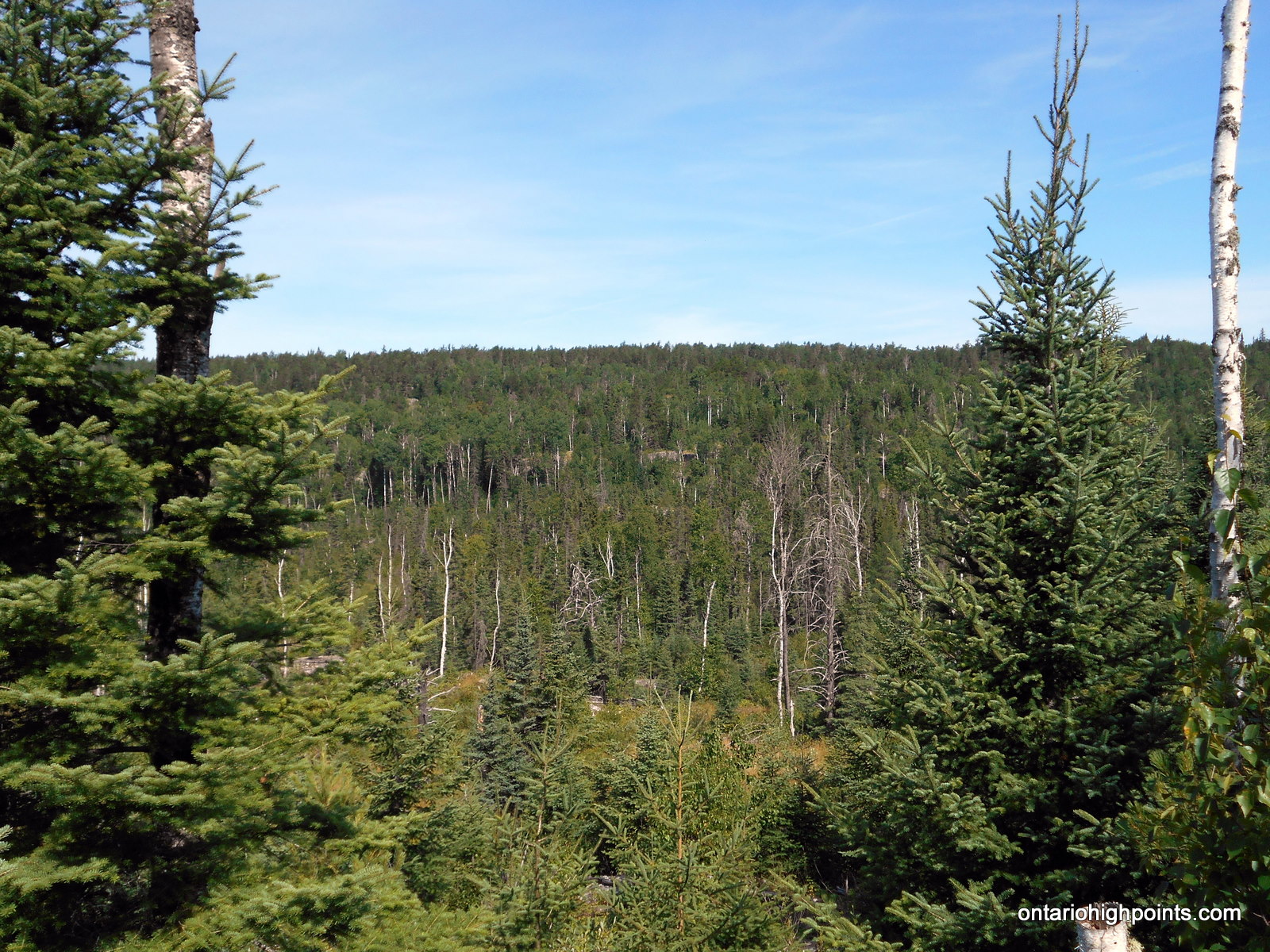
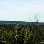
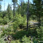
Sunbeam South Peak ridge
Lat/Lon: N48.1698 W90.4808
Clean Prominence: 384 feet / 117 meters
Line Parent: Little North Lake Peak
Key Col: N48 09.093 W90 32.926 (1739ft / 530m)
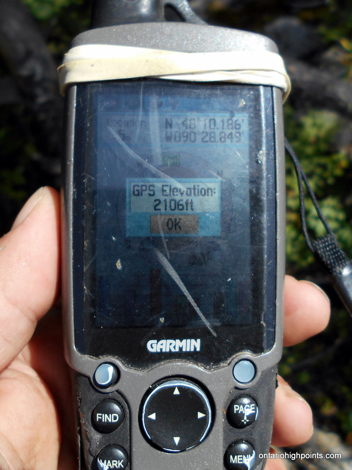
GPS recorded height: 2106 feet / 642 meters
Date Summited: July 30, 2016
Overview:
Sunbeam South Peak is a part of a group of hills located on the northwest shore of Lake Superior, not far from the city of Thunder Bay. It is located 3 km west of Addie Lake and 2 km south of Sunbeam Lake.
Directions:
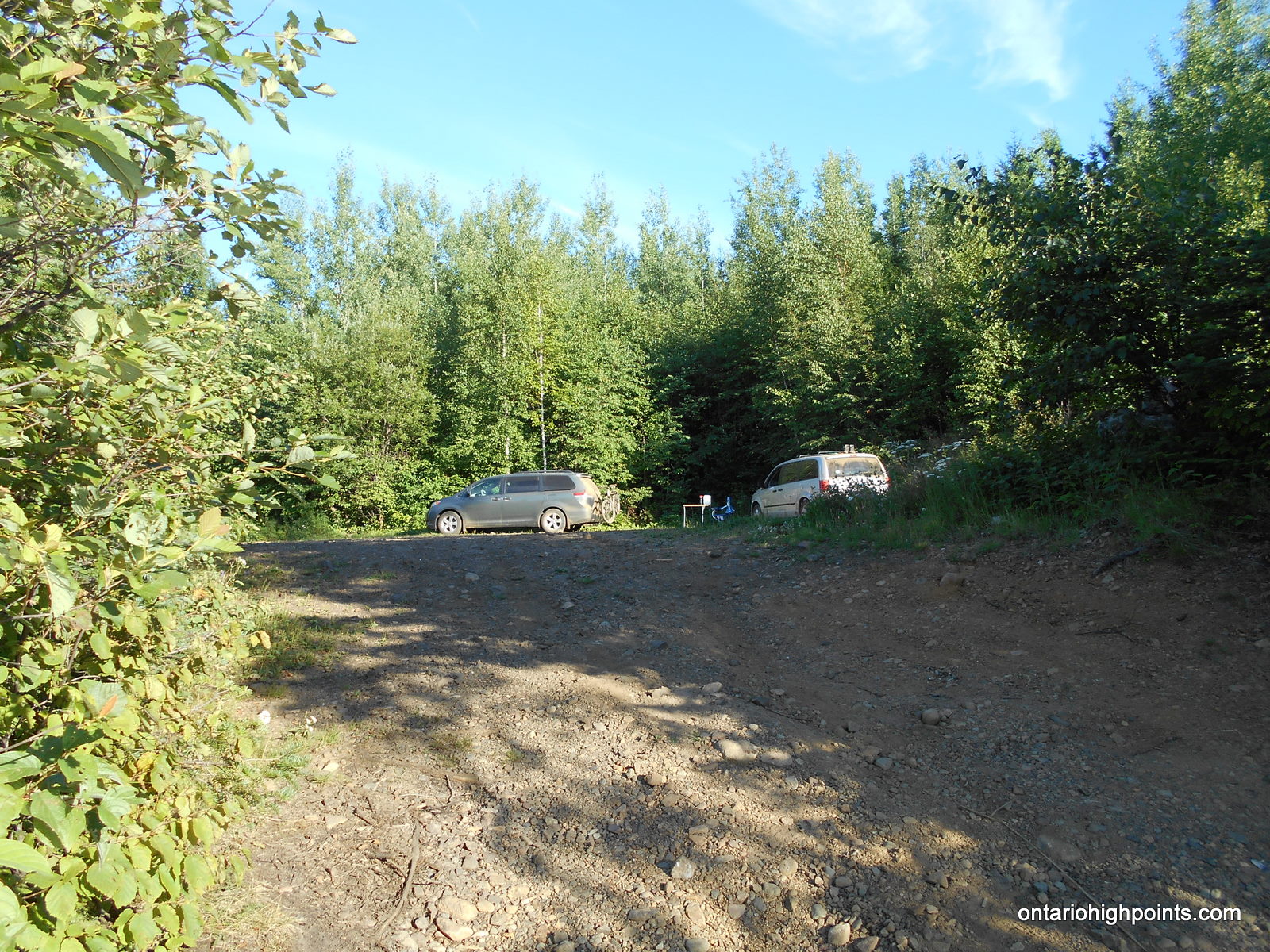
From Thunder Bay, proceed west on Hwy 11/17. Just (4 km) before Kakabeka Falls, turn left onto Hwy 588. Follow Hwy 588 for 75 km through Stanley, Nolalu and Suomi, until reaching Addie Lake Road. Turn left onto Addie Lake Road and follow it southwest. Turn right at the fork at 4.7 km, turn right again at the fork at 5.6 km (logging operation in 2016), cross a small bridge and park at a small pulloff area at 5.8 km.
Follow the road southwest for 150 meters, then turn right (northwest) onto an overgrown, grassy road. Turn left at a fork (1.3 km from the parking area) and then turn right at the next fork (1.6 km from the parking area).
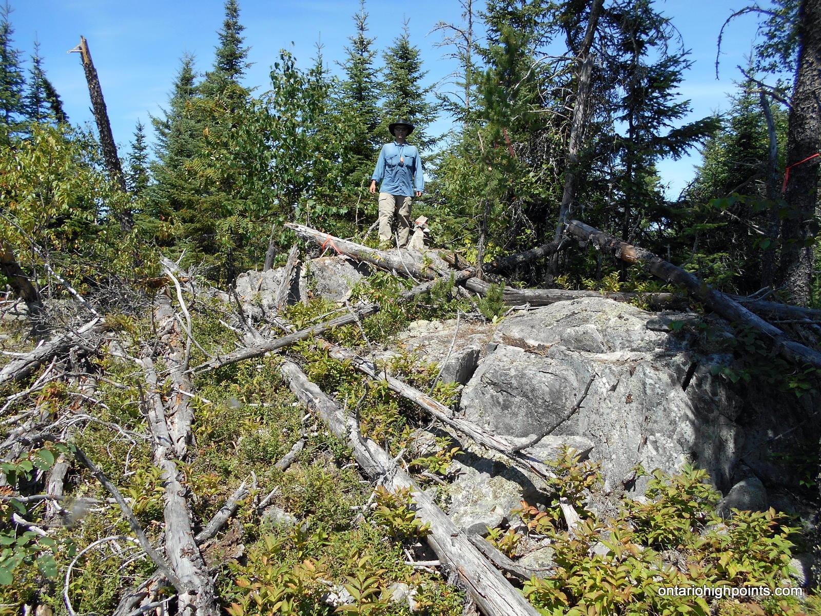
Begin the 1.8 km bushwhack at N48 09.713 W90 27.996 (2.6 km from parking area). Head northwest, cross the partially open ridge and skirt the southern edge of large marsh area. At the west edge of the marsh ascend a steep ridge. You will encounter a few rock cliffs that you will need to navigate around. At the mid-point of the bushwhack, you will intersect a rough portage. Beyond the portage, ascend another ridge, pass through a thick tag alder forest and emerge onto the rocky summit area. The high point is marked with a cairn atop a large rock outcrop. There are no views at the summit.
View a larger version of the map
Trip Summary:
0.0 km – Departed roadside parking on North / Addie Lake Road (10:12 AM)
0.2 km – Turned right (north) onto overgrown (grassy) road (10:15 AM)
1.4 km – Turned left at fork (10:30 AM)
1.6 km – Turned right at fork (10:34 AM)
2.8 km – Start of bushwhack (veered left/west) (10:50 AM)
3.7 km – Passed by a rough portage (11:30 AM)
5.1 km – Arrived at summit of Sunbeam South Peak (12:23 PM)
5.1 km – Departed summit (12:50 PM)
6.9 km – End of bushwhack (1:48 PM)
9.5 km – Arrived back at parking area (2:24 PM)
Gallery:
-

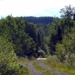
- Addie Lake Road

-
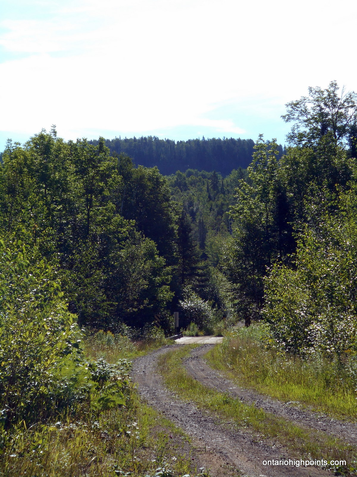
- North Lake Road / Pine River Bridge
-
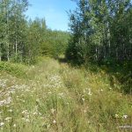
- Overgrown road on the way to Sunbeam South Peak
-
- Looking back – A partial view south
-
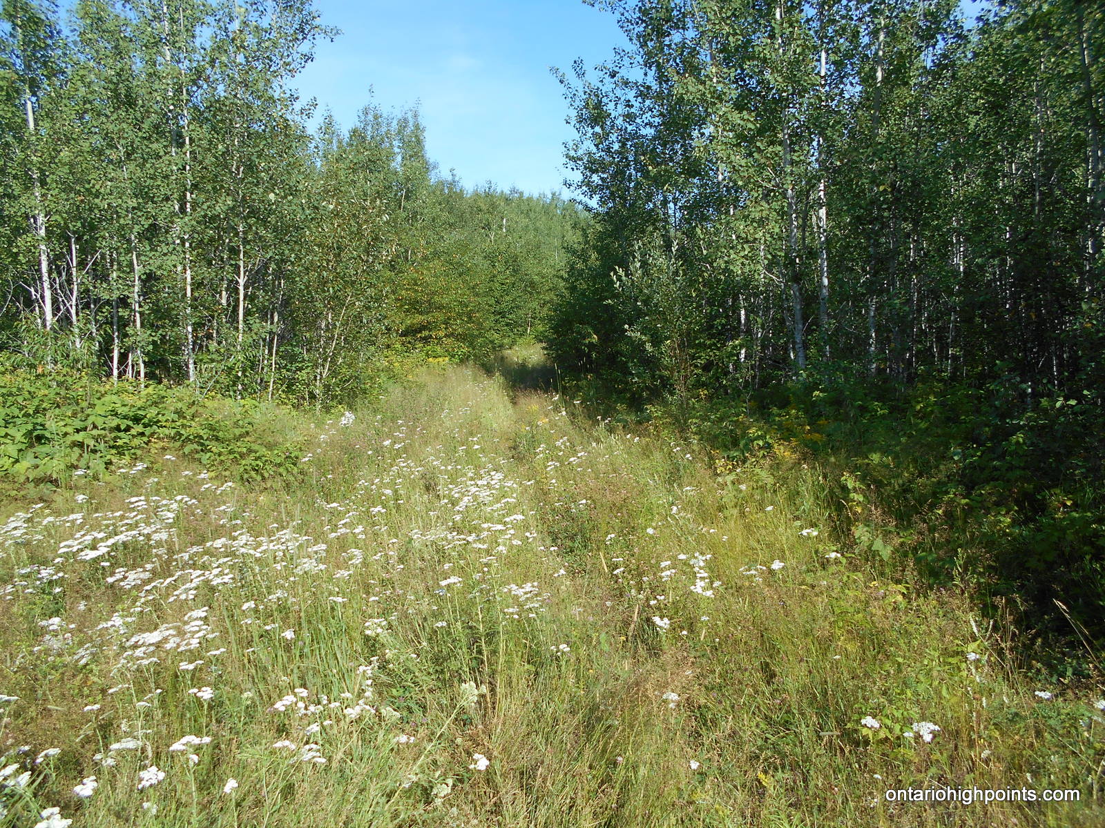
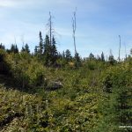
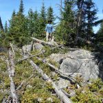
- Sunbeam South Peak ridge
-
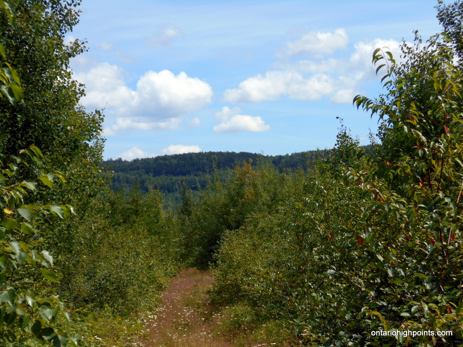
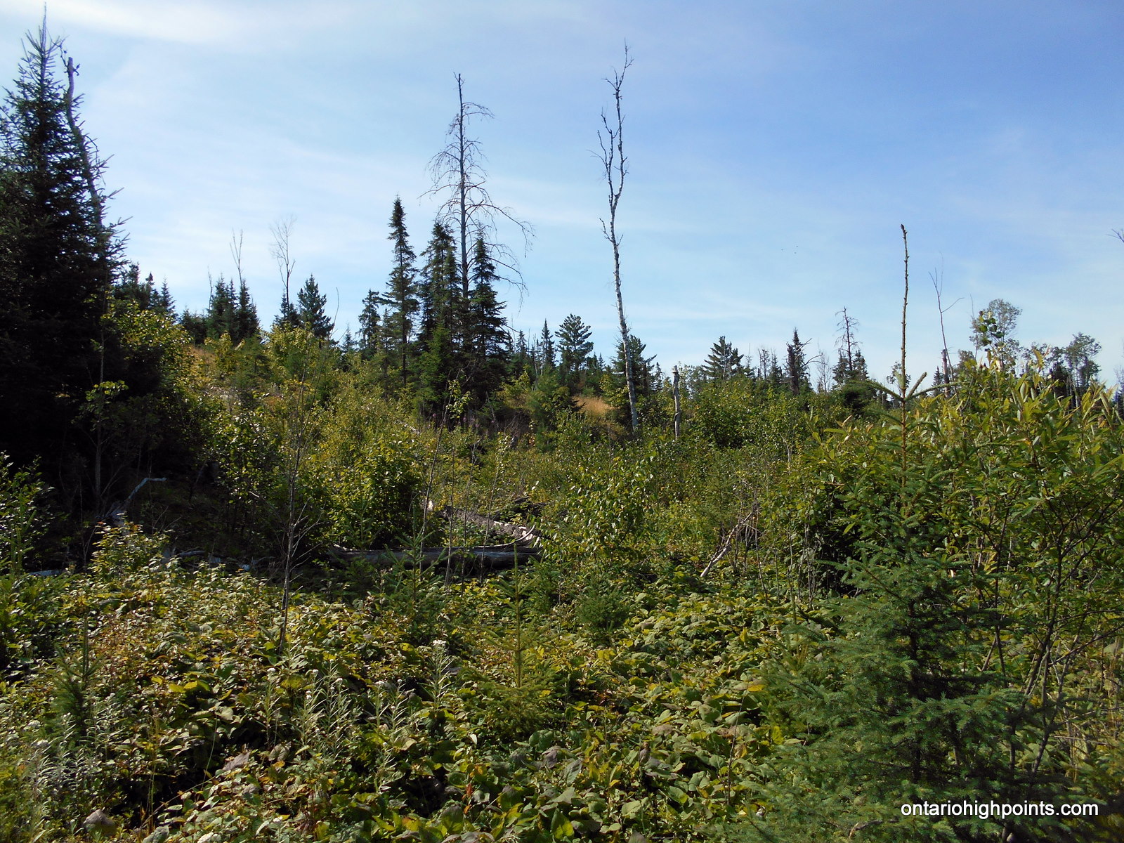
- Bushwhacking through old clearcut
-
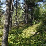
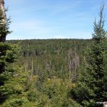
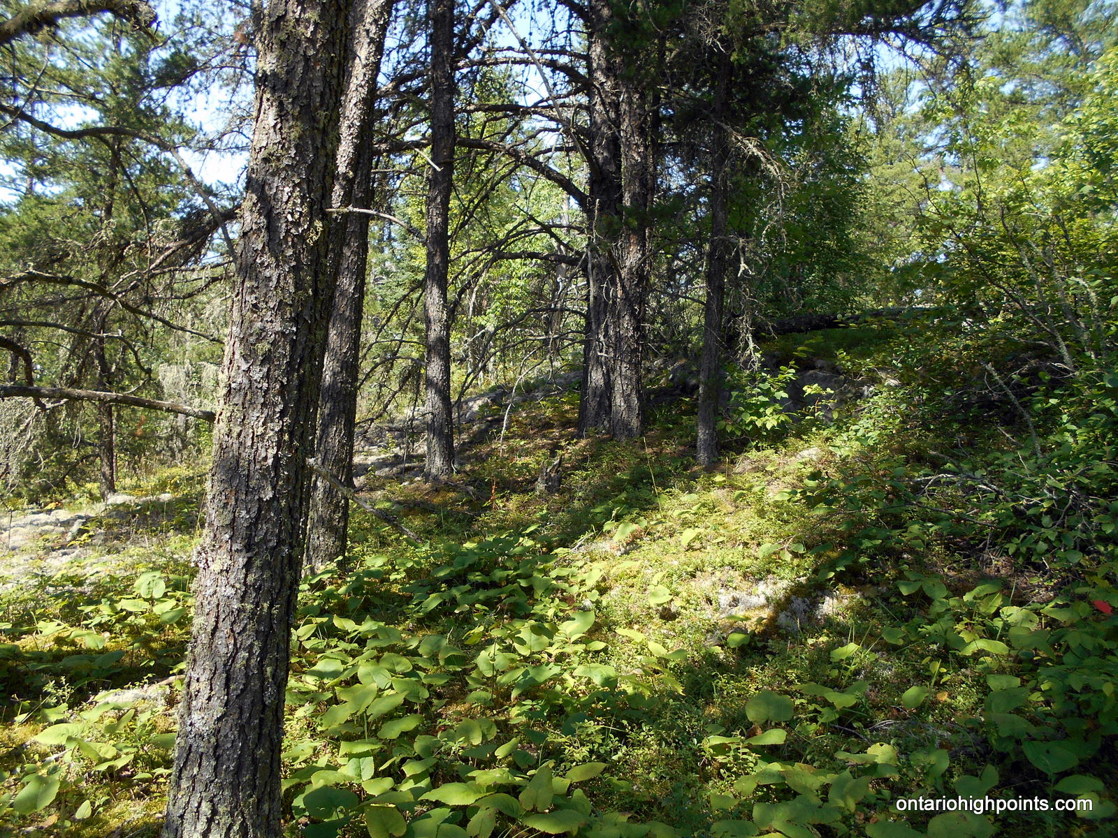
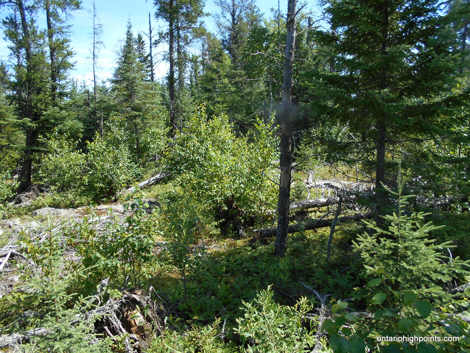
- Ascending the ridge through boreal forest
-
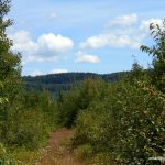
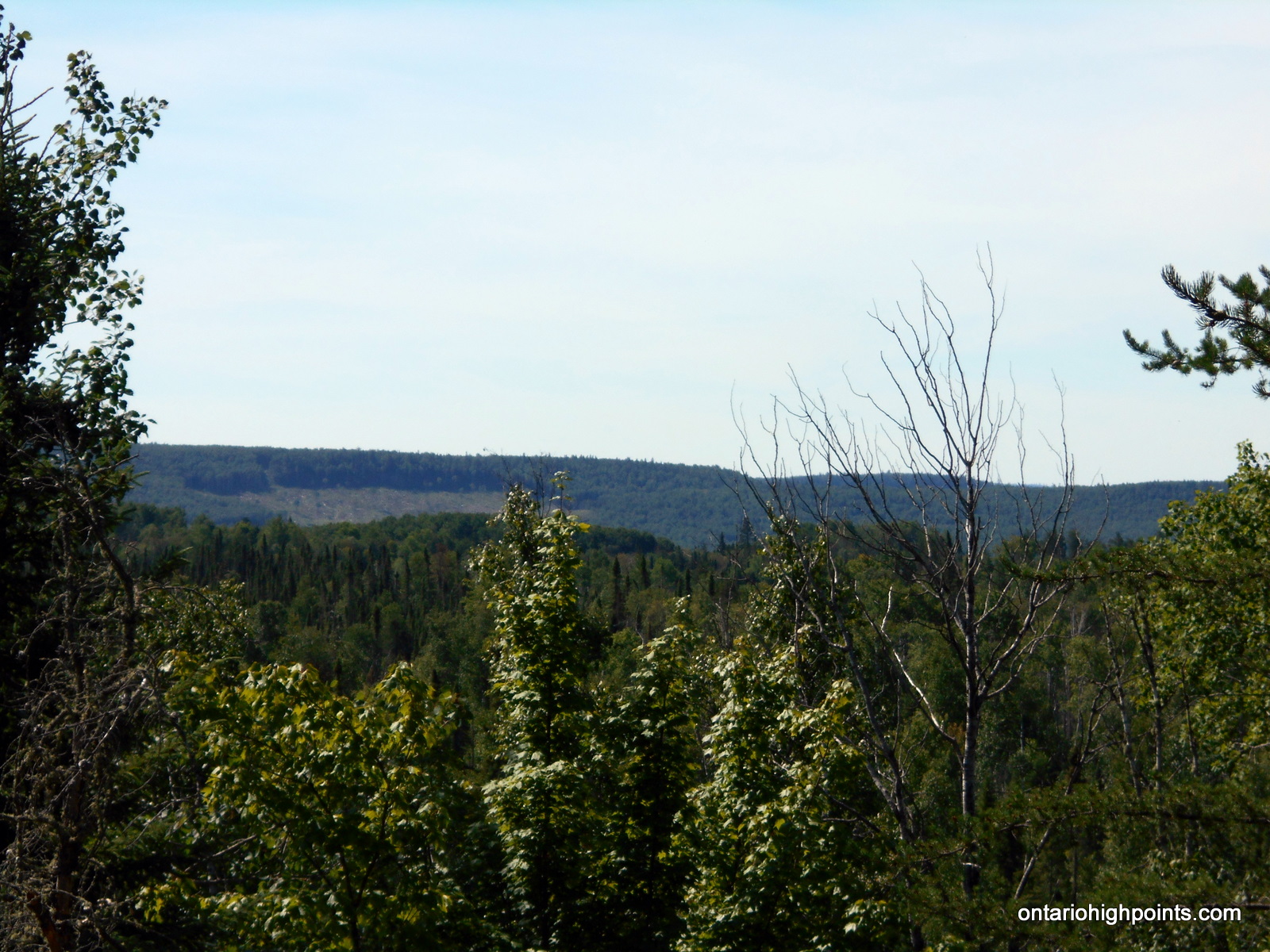
- Clearcut in the distance to the south
-
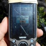
- GPS Elevation at the summit
-
- Sunbeam South Peak Summit area
-
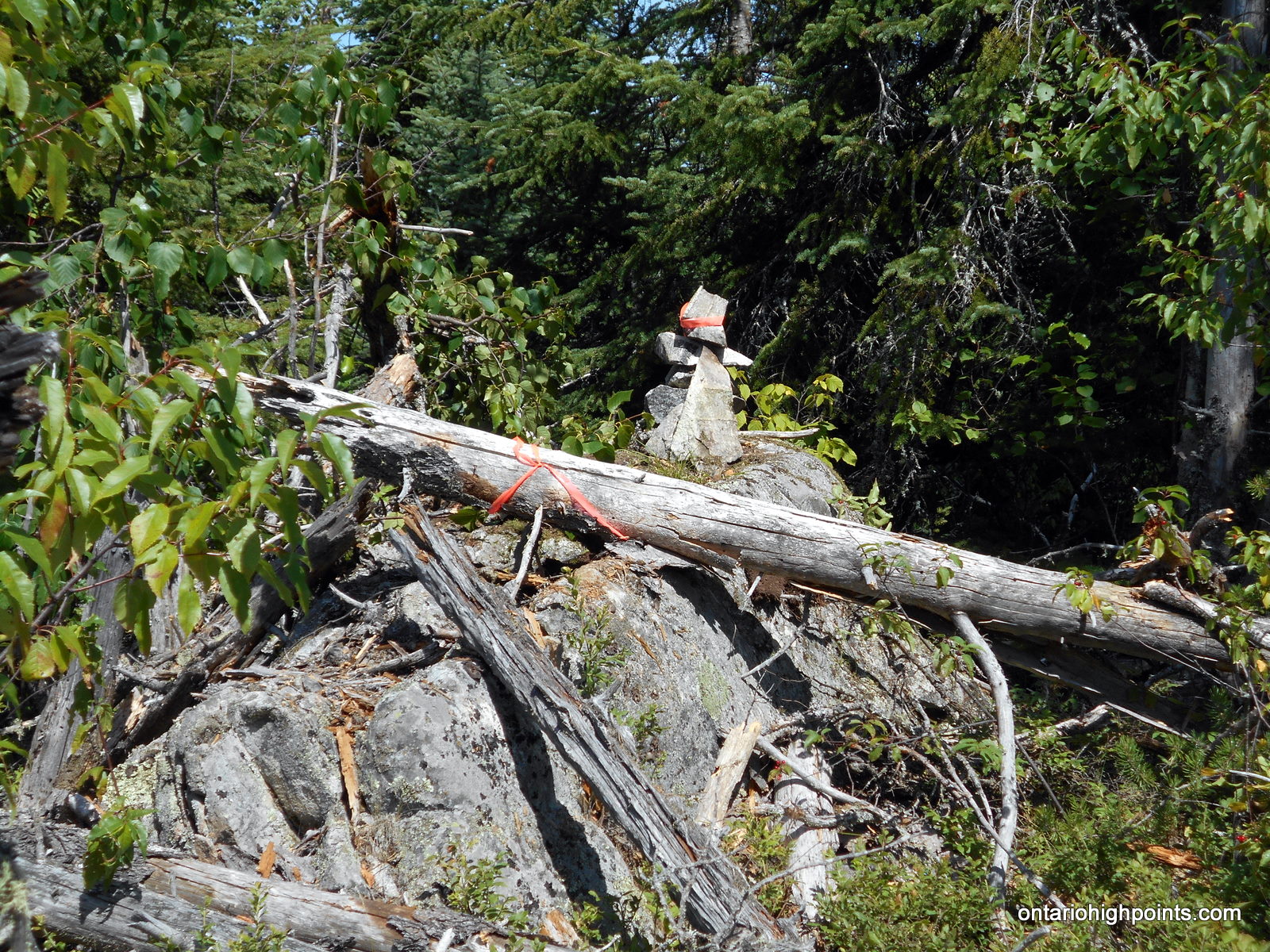
- Sunbeam South Peak Summit
-
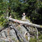
- Standing at the summit of Sunbeam South Peak
-
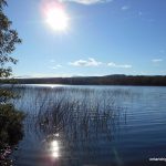
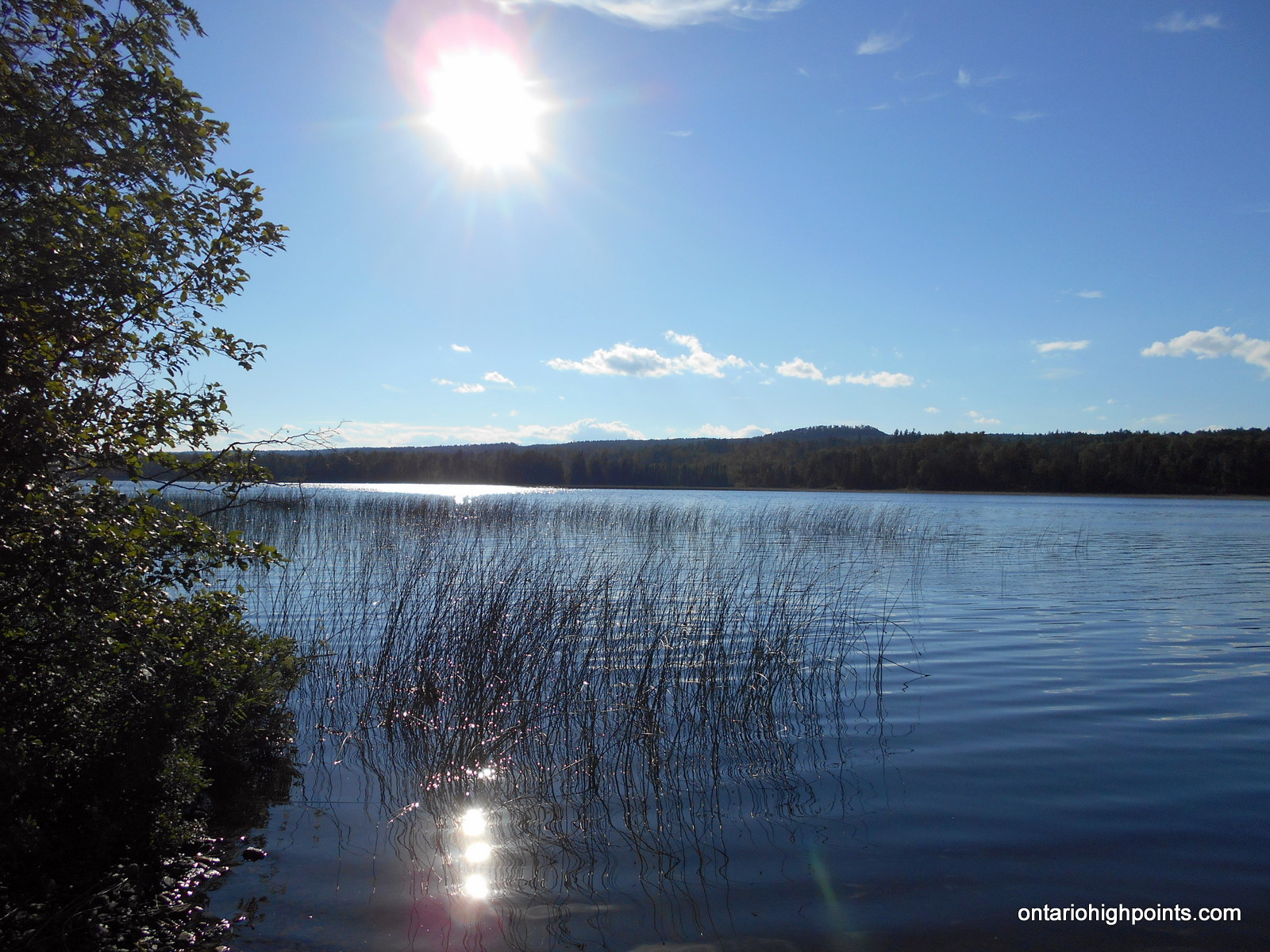
- Addie Lake
-
- Roadside camping spot for the night
Trip Report:
Day 7 of my Western Ontario peakbagging trip.
Ben and I had camped overnight at Kakabeka Falls Provincial Park — an upgrade from the rustic camping we were becoming accustomed to. We left the campground, had some breakfast at a restaurant in town (Kakabeka Falls) and then resumed our drive. We turned onto Hwy 590 and drove to Hwy 588. We turned right (west) and followed Hwy 588 to Prelate Lake. To my surprise, it was paved road all the way to Prelate Lake (it was a gravel road beyond Suomi? on my previous trip in 2009).
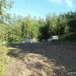
On our way, we checked out the free camping area at Prelate Lake. It was full of campers — no surprise since it was the August long weekend. We turned off Hwy 588 (left) onto Addie Lake Road. Most of Addie Lake Road follows the old Port Arthur, Duluth and Western Railway bed, so it’s well graded and consequently in good condition for a backcountry gravel road. We passed by a group of campers near the west end of Addie Lake, then turned left at a fork (right fork leads to Arrow Lake). Then, we turned right at a fork just before a logging operation and drove over the Pine River along a small bridge. We parked our vans at a small roadside ‘pull off’ just west of the bridge.
After suiting up, we continued southwest along the road by foot. A short distance later, we turned right onto an overgrown, grass covered road and followed the winding road west and then north.
We turned left, then right at a couple of 3-way intersections and as we headed north, I was anticipating a 3rd intersection. But as the road started to turn east, it became apparent that I had misinterpreted the low resolution satellite imagery. No matter, it would only add about 400 meters to the bushwhack.
We departed the grassy road and headed northwest across an open rocky ridge with some deadfall then down into a swamp where Ben got 2 soakers. In trying to get across the swamp we had gone off route a bit, so once we reached the far side, we had to correct our course.
We ascended another ridge with moss/lichen covered rocky outcrops and then down yet again into valley where we unexpectedly encountered a rough portage (leading to a small lake to the north). We crossed the portage path and continued northwest and ascended the ridge.
After gaining the top of the ridge, we descended for a few feet, crossed another boggy area and then ascended again. After pushing through thickets of tag alder, we erupted onto the summit area, which was a mix of deadfall and open rock ledges (no views).
We located 2 candidate high points, but determined that the one just west of the GPS spot height coordinate was the highest. We made a small rock cairn at the top of a large rock outcrop to mark the summit.
We departed the summit after a short break, and vowed to maintain a straighter path back to the grassy road, as we had meandered a bit too much on ascent. For the final 400 meters, we decided to bushwhack south to try to avoid the swamp crossing. This route worked out better — no soakers. Soon enough we were back at the grassy road and a short time after we arrived back at our vans.
It was still early in the afternoon so we decided to scout out the road southwest to North Lake in preparation for our hike to Little North Lake Peak the following day. We were able to drive to the end of the road with little trouble and arrived at a private gated road to camps on North Lake. We checked out the old railroad bed which departed the Addie / North Lake Road near the gated road and found it was hikeable, although overgrown with thickets of alders in many spots.
As it was the August long weekend, the campsites were all in use at Prelate Lake, so we had to make due with a roadside campsite at the east end of Addie Lake.
GPS Tracklog (GPX Format):
Links: