King Mountain
Posted by Derek on Nov 12, 2015
King Mt. West Peak
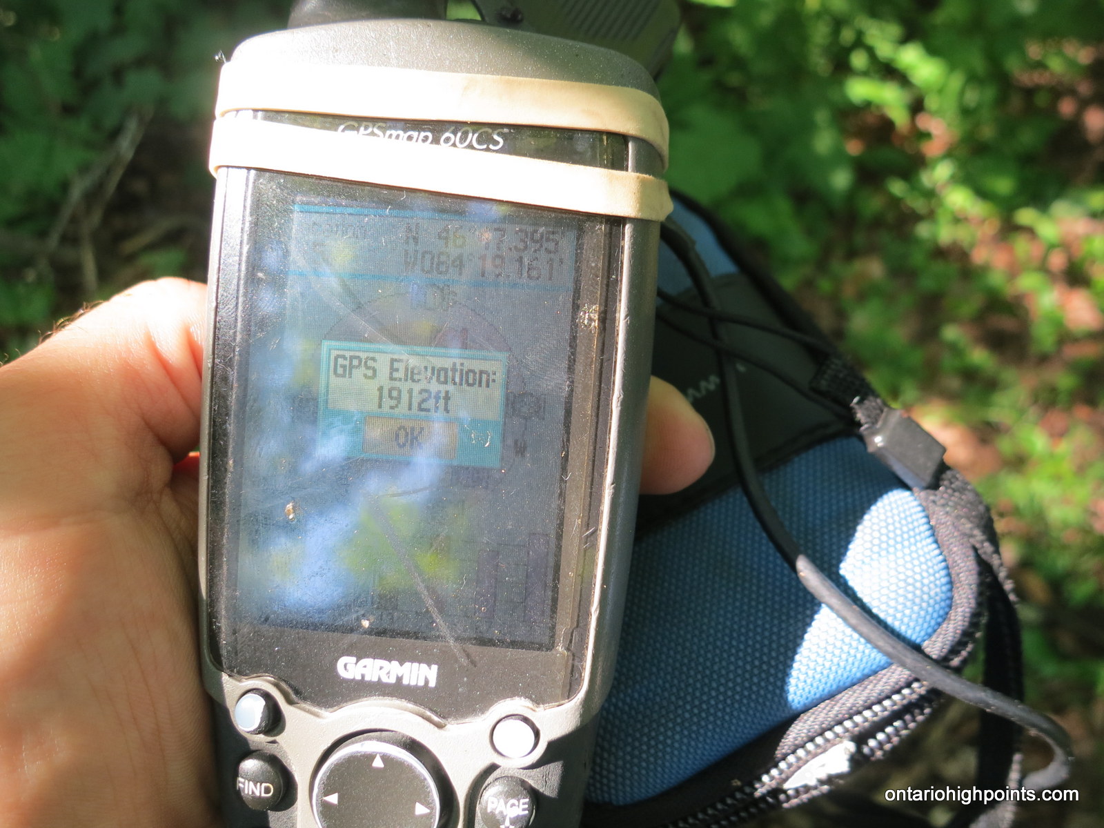
GPS recorded height: 1912 feet / 583 meters
Lat/Lon: N46 47.394 W84 19.159
Date Summited: July 27, 2015
Overview:
Rising 1000 feet above the Goulais River Valley, King Mountain was once the location of a fire tower that was part of Ontario’s forest fire detection network. Although not the highest point along the ridge on which it sits (A hump further east at N46 47.857 W84 17.055 is slightly higher), the peak is the principle destination in the area. This is due to the extensive ski and snowshoe trail system in and around the peak and it’s close proximity to Sault Ste Marie. In the winter, the cross-country ski and snowshoe trails are groomed and maintained by the owners of Stokely Creek Lodge; in the summer, although the Lodge is usually closed, the trails are open and free to use for hiking.
Directions:
From Sault Ste Marie, drive approximately 28 km (20 minutes) north along Hwy 17 to the turnoff onto Old Hwy 17 Road. Turn right onto Old Hwy 17 Road and drive straight along this road for 2.8 km and then turn right onto a gravel road leading to Stokely Creek Lodge. There are 2 parking areas, one outside the gate when the Lodge is closed and another parking area about 500 meters beyond the gate at N46 47.233 W84 20.886. The ski and snowshoe trails to King Mountain are groomed and maintained in the winter by Stokely Creek Lodge and as such there is an admission fee. In the off-season, hikers are free to use the trails.
As there are extensive trails in the area, there are more than a few trail options to get to King Mountain; the simplest way is via the Creek Side Trail and King Mt. Snowshoe Trail. Start at the Snowshoe Trails Trailhead just behind the main lodge, and follow the Creek Side Trail 1.2 km to the turnoff onto the King Mt. Snowshoe trail. Turn right and follow this trail for 1.6 km to reach the West View / King Mt. Hut (kilometer 2.8). Continue along this trail, cross the Voyageur trail at 3.4 km and reach the North View at 3.9 km. King Mt. – Fire Tower Summit is 400 meters beyond the North View at trail kilometer 4.3.
For an alternative descent, from King Mt. return to the intersection with the Voyageur trail (0.8 km). Instead of continuing onto the West View, turn right and descend via the Voyageur Trail. Follow the Voyageur trail north for 0.6 km to the intersection with the King Mt. Ski Trail. Follow the wide King Mt. Ski trail west for 1.5 km to the hydro corridor. Descend down the steep hill under the hydro-electric wires via an unmarked trail (Fire Trail). This short (100 meters) trail will bring you back to the Creek Side Trail. After reaching the Creek Side Trail, turn left (west) and complete the 0.3 km to back Stokely Creek Lodge.
View a larger version of the map
Trip Summary:
0.0 km – Departed parking area at Stokely Creek Lodge (7:57 AM)
0.1 km – Departed Snowshoe trailhead via Creek Side Trail (7:59 AM)
1.2 km – Turn southeast onto King Mt. Snowshoe trail (8:21 AM)
1.5 km – Crossed intersection with King Mt. Ski Trail (8:32 AM)
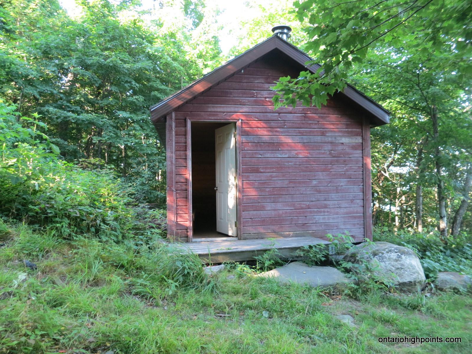
2.8 km – Arrived at King Mt. Hut (West Peak) (9:07 AM)
3.4 km – Crossed intersection with Voyageur Trail (9:44 AM)
3.9 km – Arrived at North View (9:54 AM)
4.3 km – Arrived at King Mt. Fire Tower Summit (10:09 AM)
4.4 km – Departed King Mt. Fire Tower Summit (10:41 AM)
5.2 km – Turned north onto Voyageur Trail (11:02 AM)
5.8 km – Turned west onto King Mt. Ski Trail (11:15 AM)
7.3 km – Turned north onto Fire Trail (11:37 AM)
7.4 km – Turned west onto Creek Side Trail (11:39 AM)
7.7 km – Arrived back at Stokely Creek Lodge / Falls (11:43)
7.9 km – Arrived back at parking area (11:50 AM)
Trip Report:
With the previous 2 days of hikes with Dan and Spencer completed, I had a waning interest in a solo trek up to nearby King Mt. for a third day of hiking. Luckily, my host Jack expressed interest in going and convinced me to join him for a morning adventure to explore this beautiful area.
It was a short drive from Jack’s house in Heyden to the Stokely Creek Lodge. I was expecting that the road into the Lodge would be gated, requiring us to park at the outer parking lot. However this morning the gate was opened and there appeared to some hustle and bustle of activity at the Lodge, so we continued up the road to a second parking area.
Once on the Lodge grounds we tracked down an employee and asked about parking arrangements. We were free to park at the lot, as long as we would be out by 5 PM, when they would close the gate. We had no plans to stay that late, so we continued on and found the Snowshoe trails trailhead.
Even though I had the official Stokely Creek Lodge Trail Maps, I was a bit confused by the dual ski and snowshoe trail systems and I wasn’t entirely sure which trail to take at first. After a brief discussion, we decided to dive in and picked a trail. We started eastbound on the Creek Side Trail which paralleled the picturesque Stokely Creek. After about 20 minutes we reached the turnoff with a trail called the King Mt. Snowshoe trail. This seemed like a obvious trail to take, so we followed it southeast.
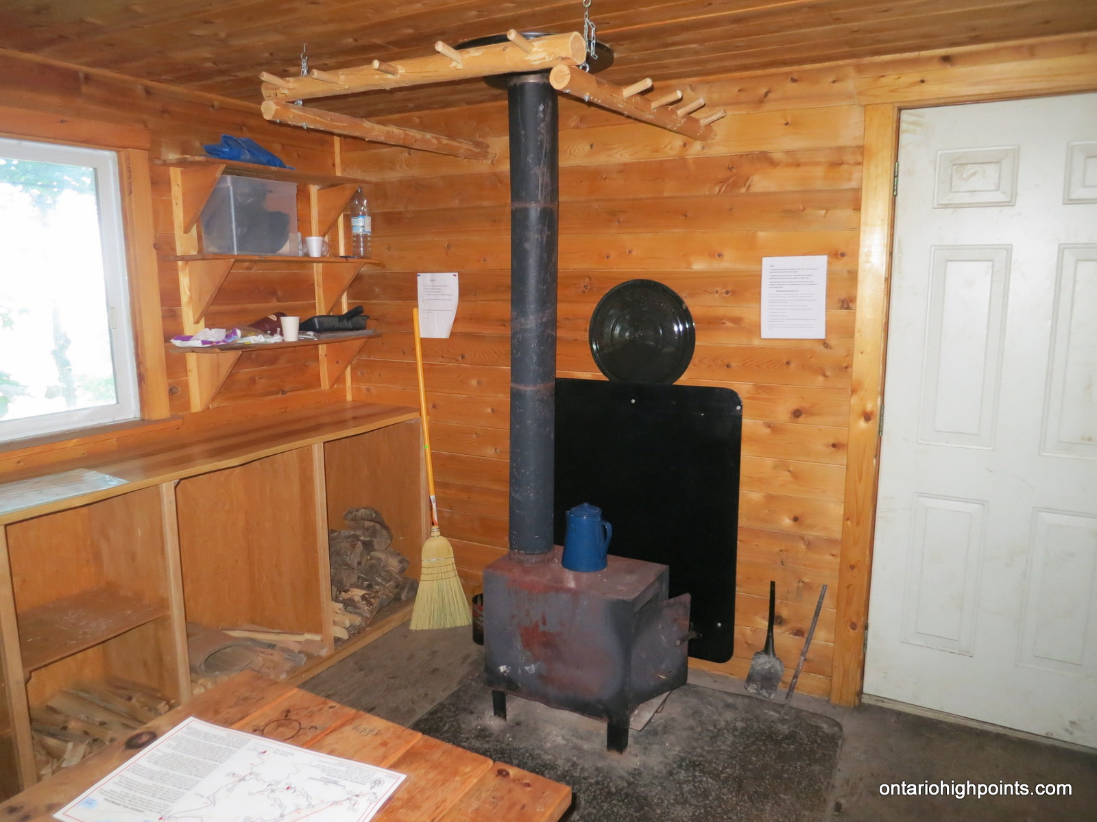
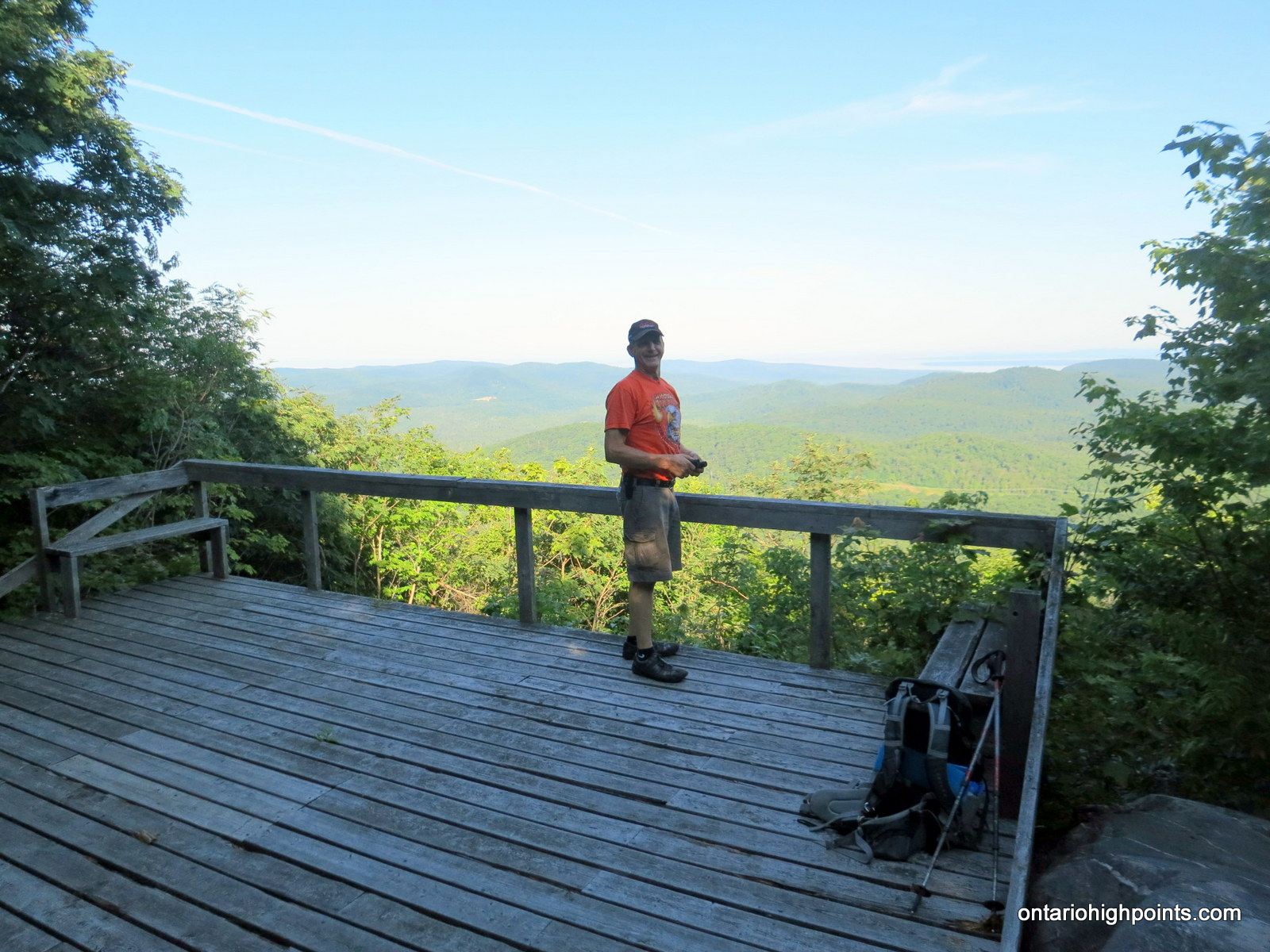
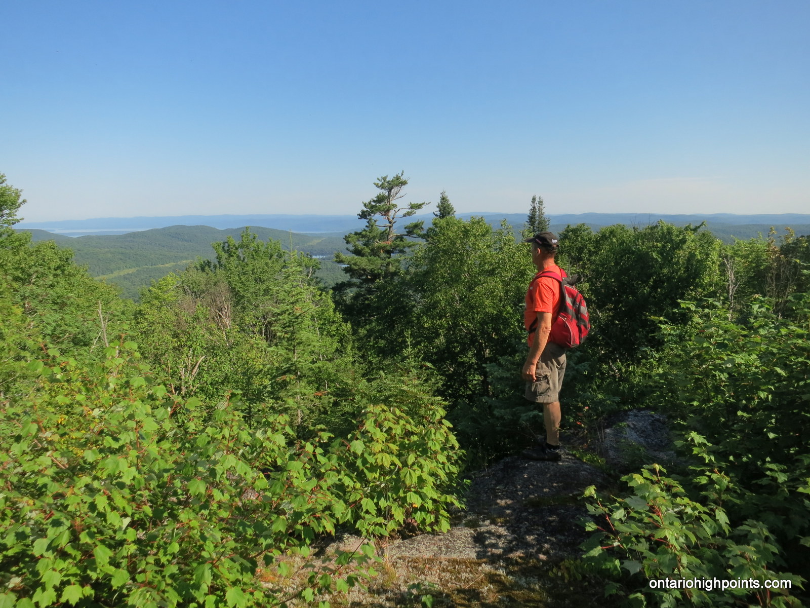
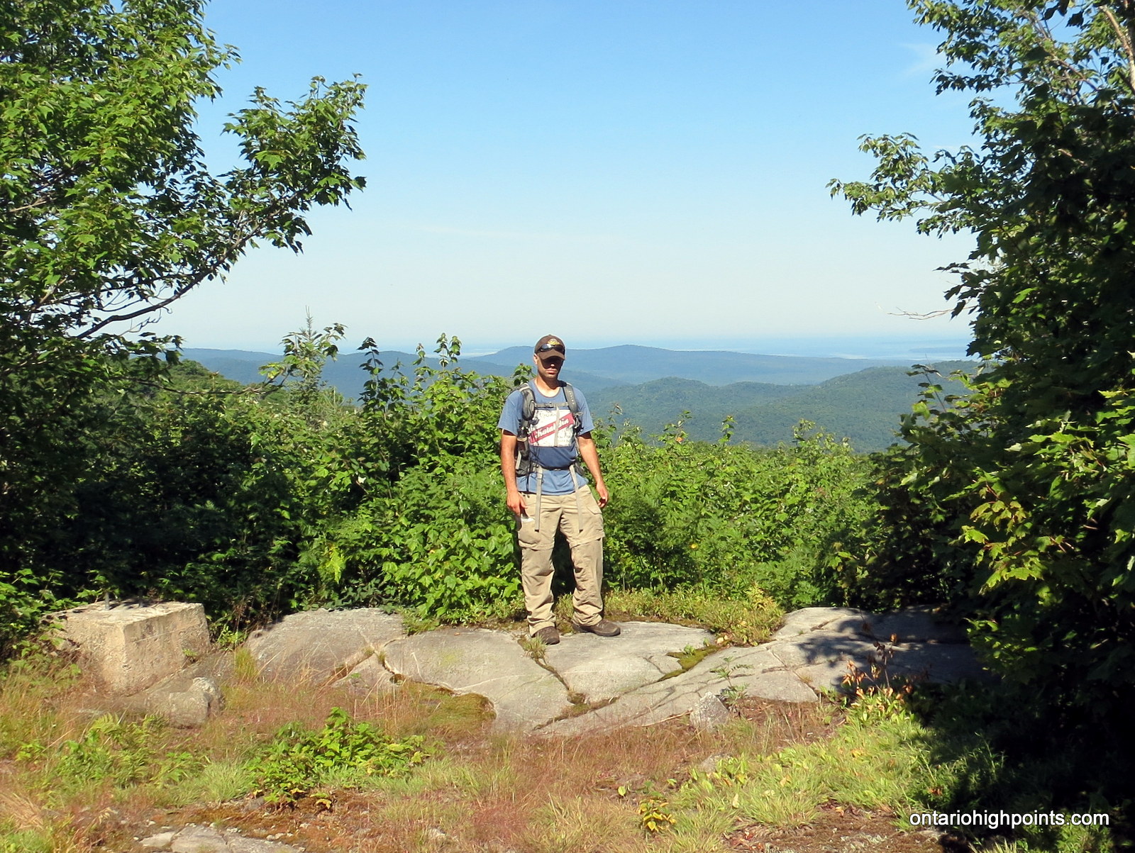
At first the trail ascended moderately through open deciduous forest. The trail crossed over a very wide and straight trail, which later I determined to be the similarly named King Mt. Ski Trail. After about 0.6 km of walking, we reached the base of some steep cliffs. At this point, the trail began to switchback up around these steep sections. We followed the switchbacks all way to the West View and King Mt. Hut. We stopped at the wooden viewing platform for some photos and explored the nearby hut.
My main objective for the day was to get to the Fire Tower Summit of King Mt., so ever onward, we departed the West View / West Peak. After crossing the Voyageur Trail, we soon arrived at what my maps identified as the North View. Again we briefly stopped for some photos and then continued on. We passed through lush and picturesque forest under-story until emerging onto the summit of King Mountain.
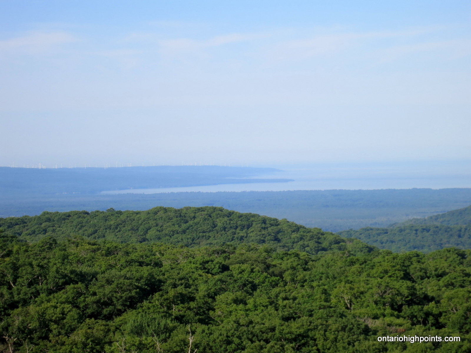
Views of Lake Superior, old relics, artifacts and the foundation blocks of the former fire tower took hold of our attention at the summit. I explored the summit and found the highest point in the forest a few meters northeast of the tower foundation.
As it was evident it would be another hot day, we soon departed the summit. We decided to try a different route off the mountain; we descended via the Voyageur Trail to the King Mt. Ski Trail. We followed the ski trail west and once we reached the hydro-electric corridor, we decided to follow a rough, steep path down the hill to the creek bed below. We soon intercepted the Creek Side Trail and discovered we had followed the ‘Fire Trail’ down. A few minutes later, we arrived back at Stokely Creek Lodge. Before heading back to Jack’s truck we descended a short trail to enjoy the beauty of Stokely Falls.
Gallery:
-
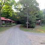
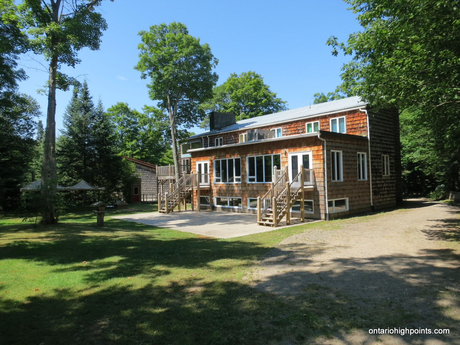
- Stokely Creek Lodge grounds

-
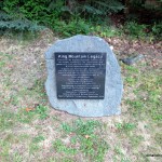
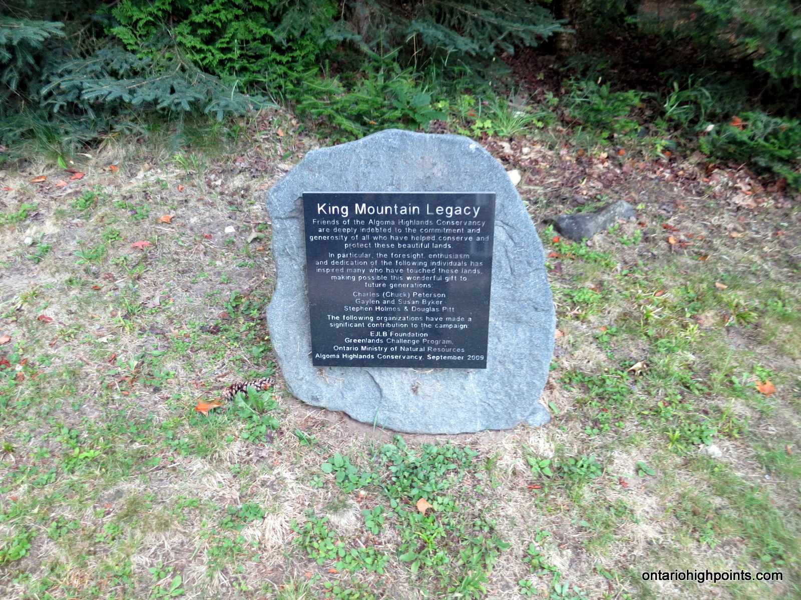
- King Mountain Legacy plaque
-
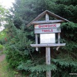
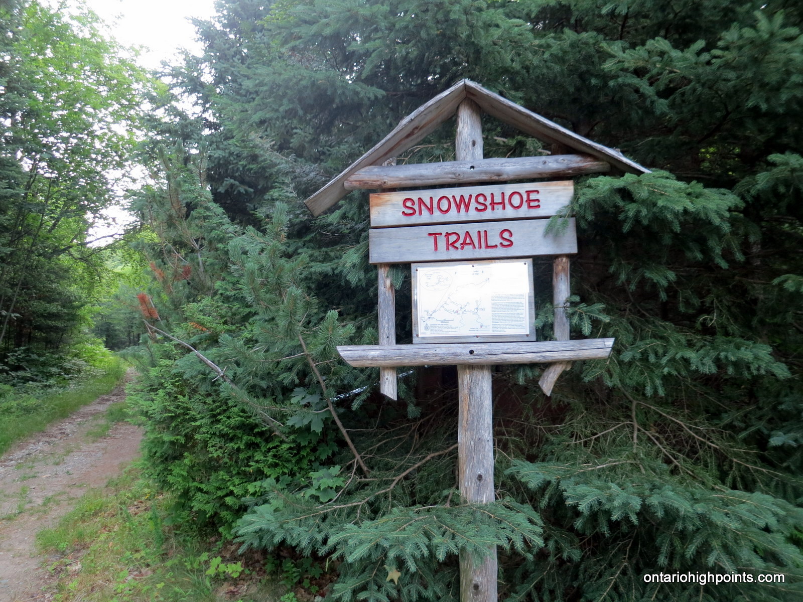
- Snowshoe trails trailhead
-
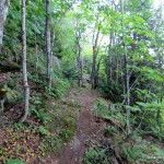
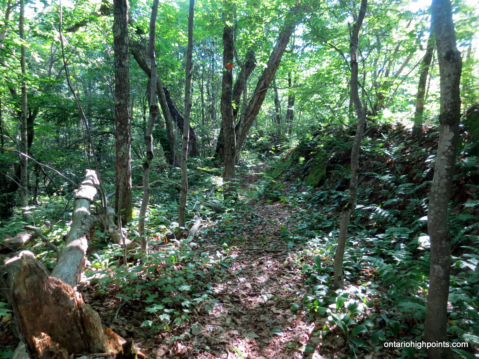
- King Mt. Snowshoe Trail
-
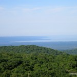
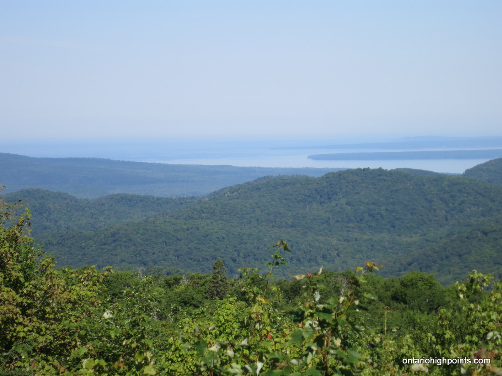
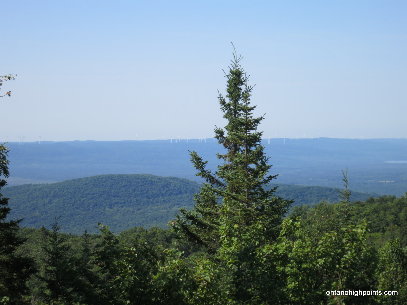
- Wind Farm and Lake Superior in the distance
-
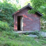
- King Mt. Hut
-
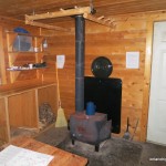
- Inside King Mt. Hut
-
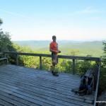
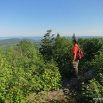
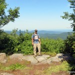
- Jack enjoying the view from King Mt. West Peak
-
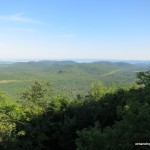
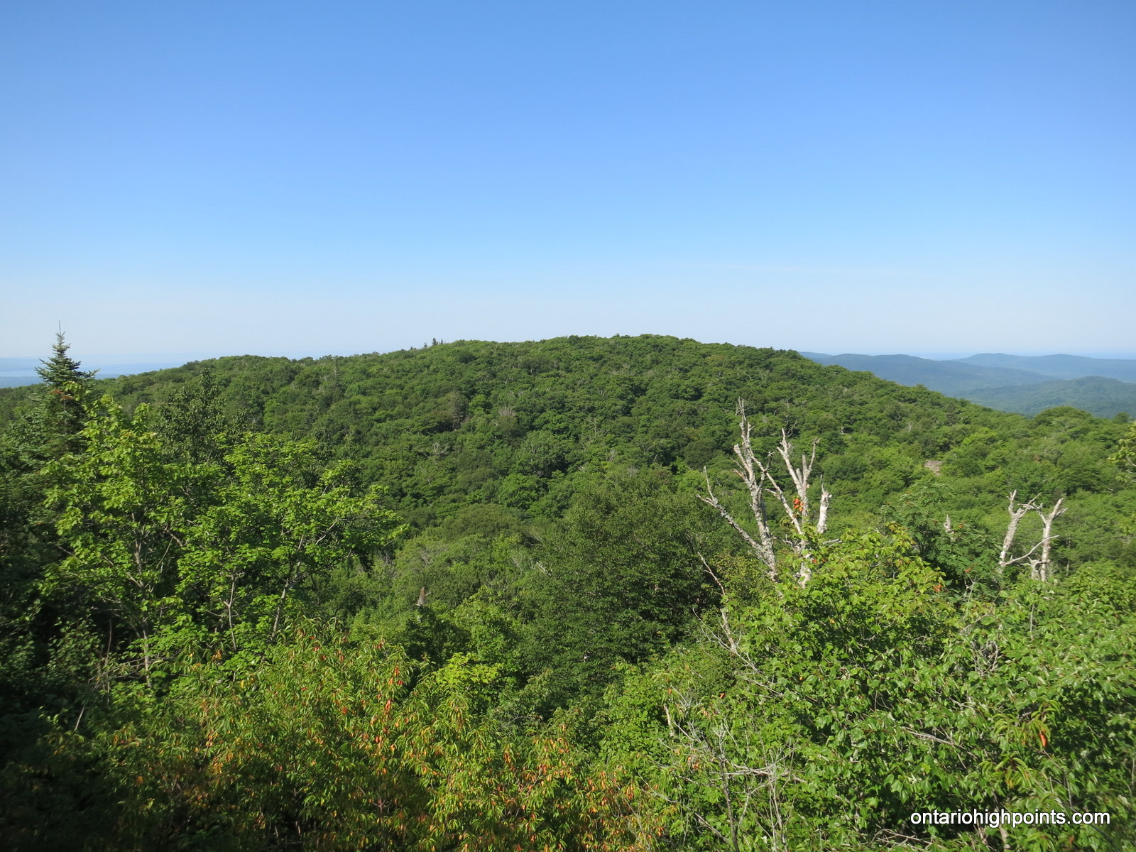
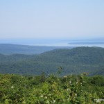
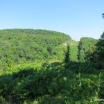
- View from King Mt West Peak
-
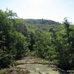
- King Mt. Fire Tower Summit ahead
-
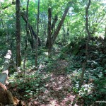
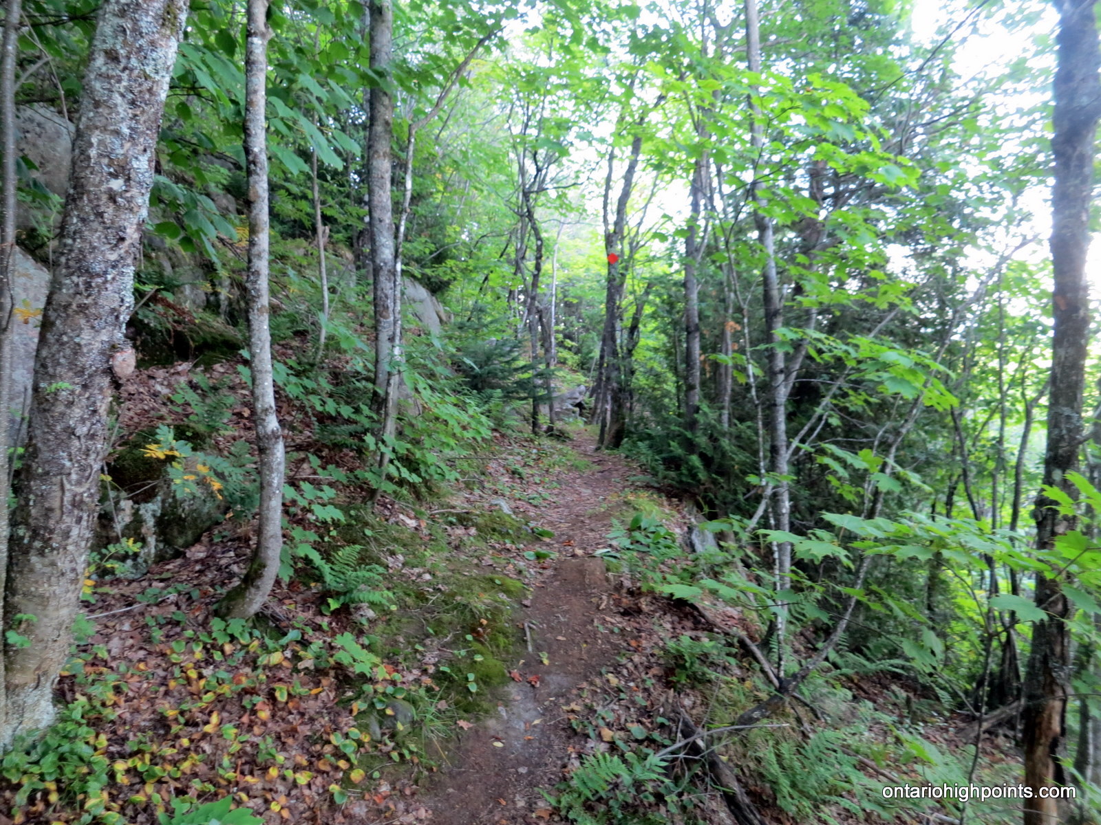
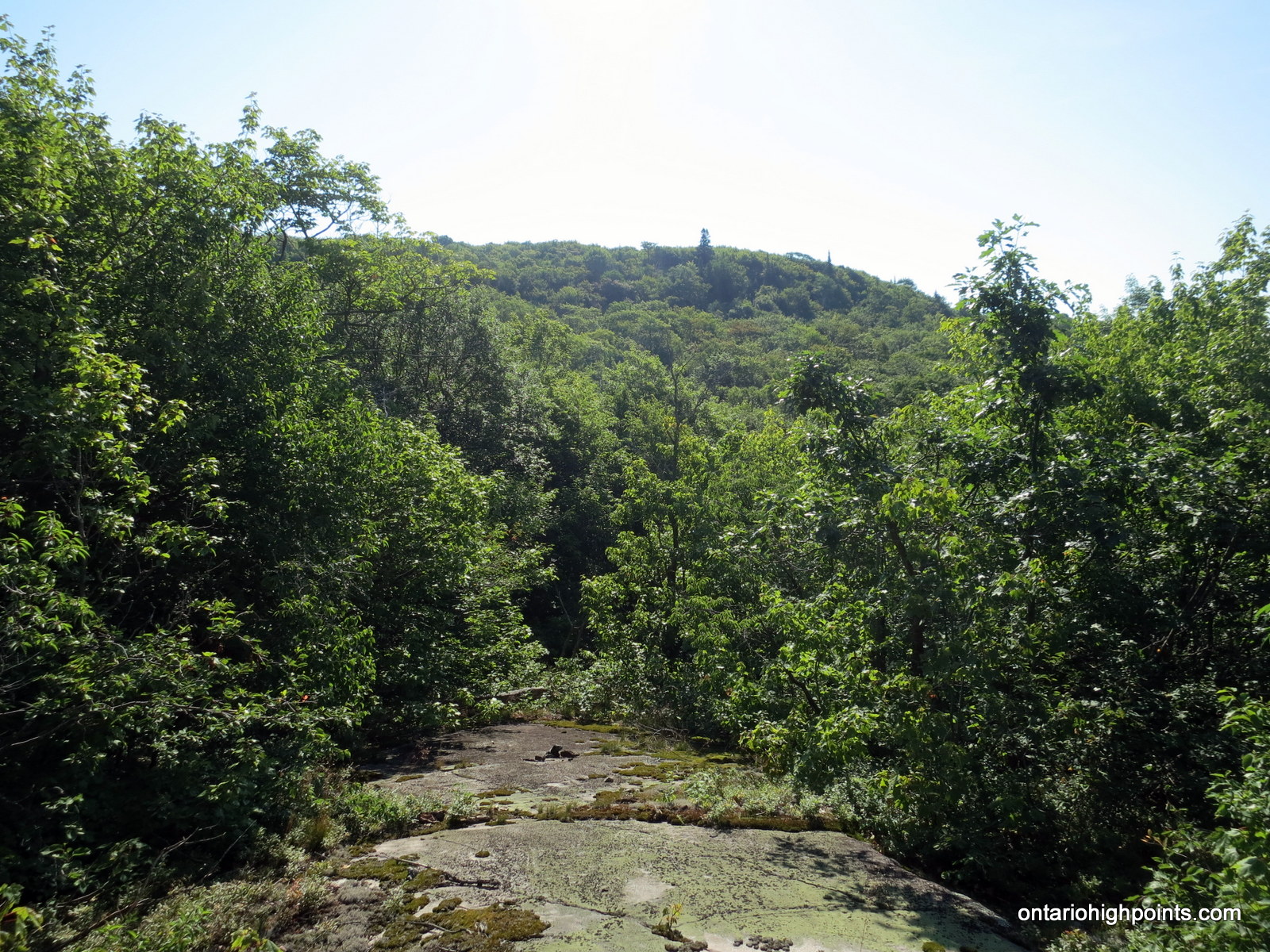
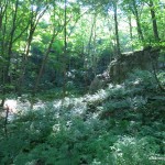
- Trail and ground foliage
-
- At the ‘North View’
-
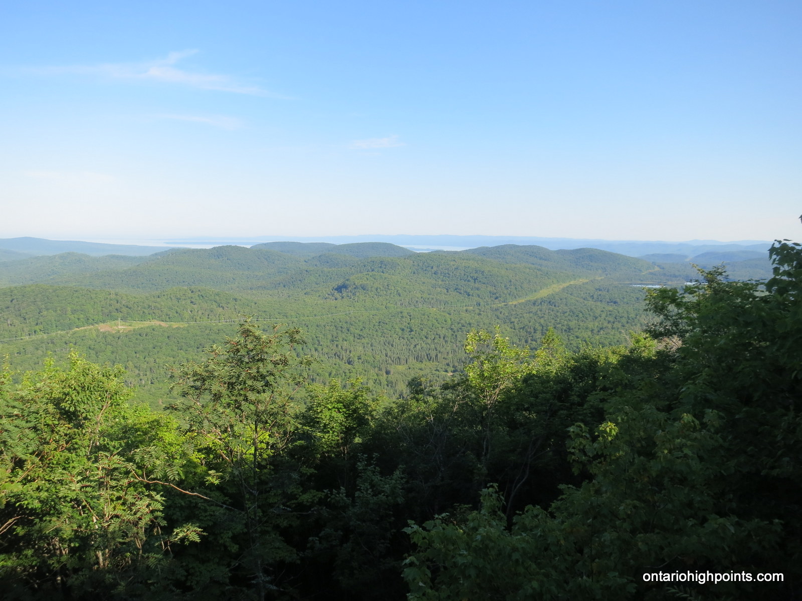
- View from King Mt. Fire Tower Summit
-

- One of the Fire Tower foundation blocks

-
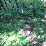
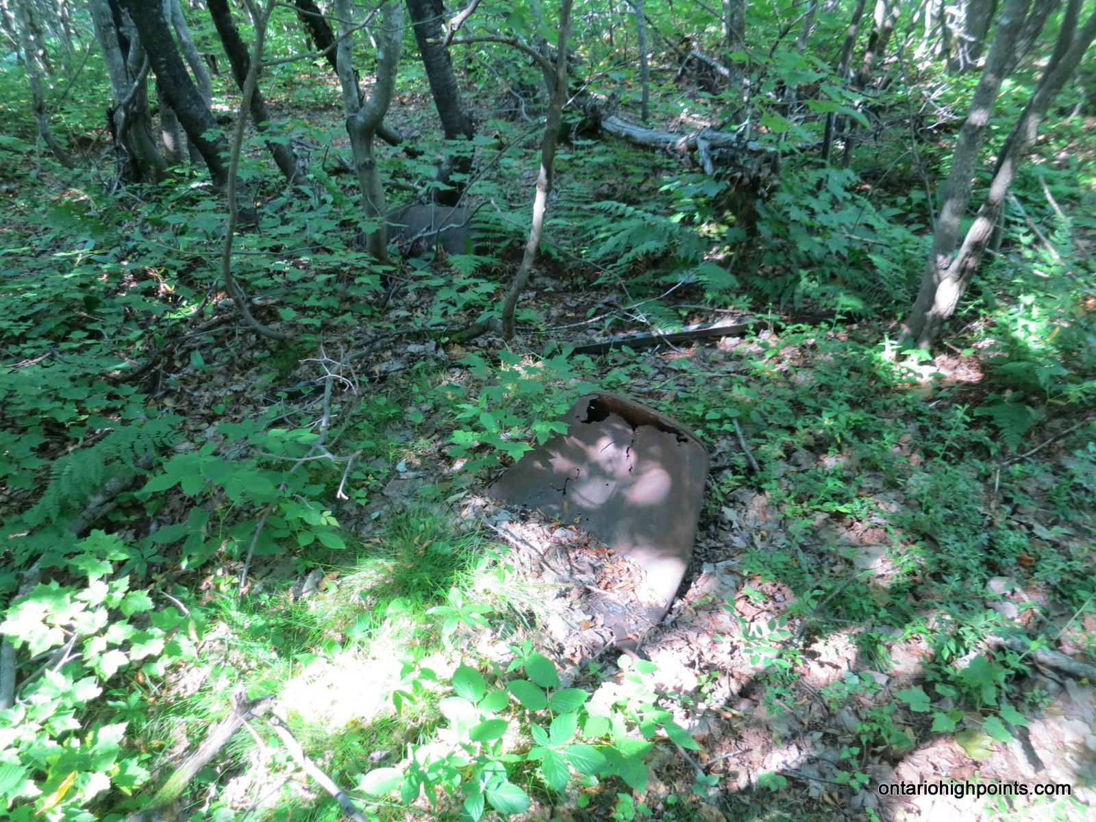
- Old metal drum in the woods at the highest point
-
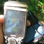
- GPS elevation
-
- Derek at King Mt. Fire Tower Summit
-

- Prince Wind farm in the distance
-
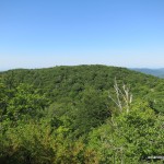
- King Mt. West Peak
-
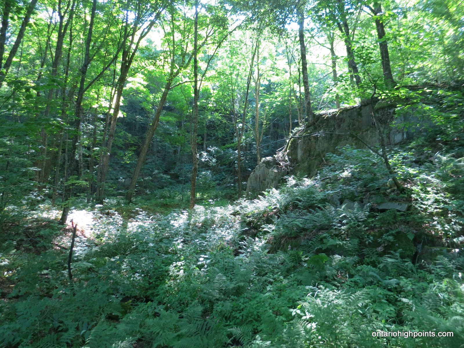
- Deciduous forest understory
-
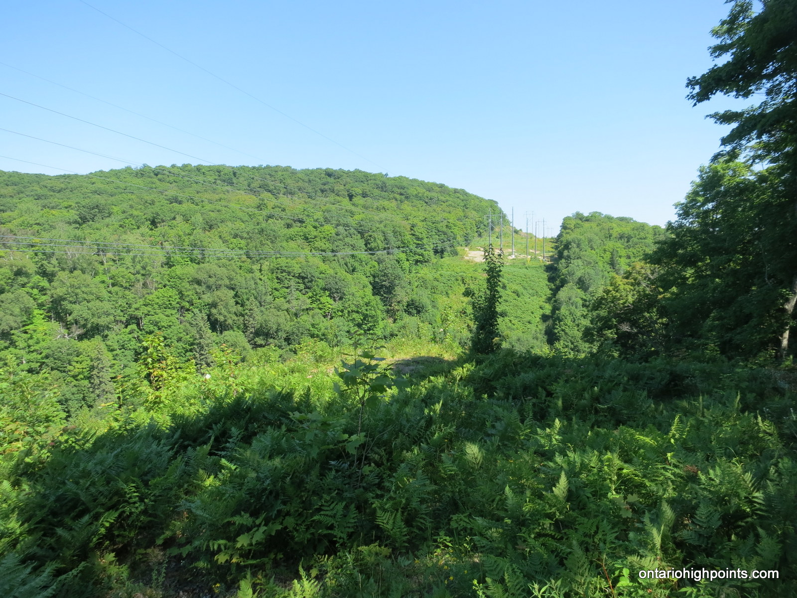
- Hydro corridor
-
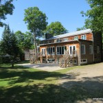
- Stokely Creek Lodge
-
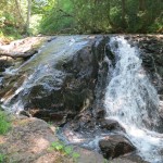
- Stokely Falls

King Mountain GPS Track (.gpx format)
Related Links:
Stokely Creek Lodge
Snowshoe Trail Map (provided by Stokely Creek Lodge)
Ski Trail Map (provided by Stokely Creek Lodge)