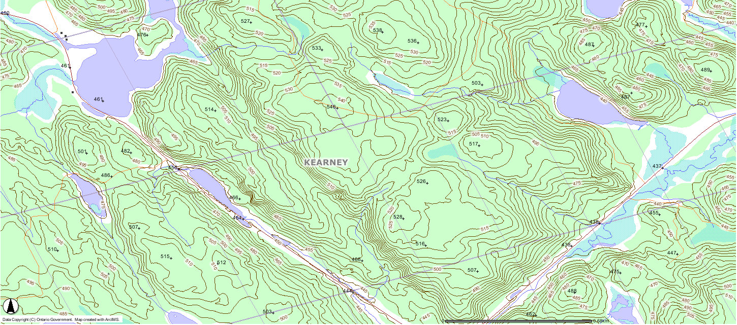
Peak 546
Posted by Derek on Jul 16, 2010
Height: 1791 feet / 546 meters
GPS recorded height: 1822 feet / 555 meters
Lat/Lon: N45.59546 W78.99214
Date Summited: July 10, 2010
Directions / Trip Summary:
Take Highway 11 north from Huntsville for 20 km and take exit 244 onto Fern Glen Rd towards Emsdale. After 2.7 km, turn right onto 518 and travel 8.2 km to Kearney. In Kearney, turn right onto Rain Lake Road. Follow Rain Lake Road east, which soon becomes a dirt road for 24 km. The road passes by some recently blasted rock piles and makes a 90 degree turn shortly (1.3 km) before coming to a smaller gravel road which is used by ATVs.
Even though the ATV road was in good condition, I opted to park at the intersection and continue on foot. About 1.4 km from the road, a clearing emerges on the left, connecting a rougher logging road which heads southwest. Take this road for 650 meters. At this point, you can begin bushwhack west for 500 meters. The forest in this area is open with very light underbrush. On my way in, I stayed on the road, which eventually loops south and passes just west of the summit, however the more direct route is to bushwhack.
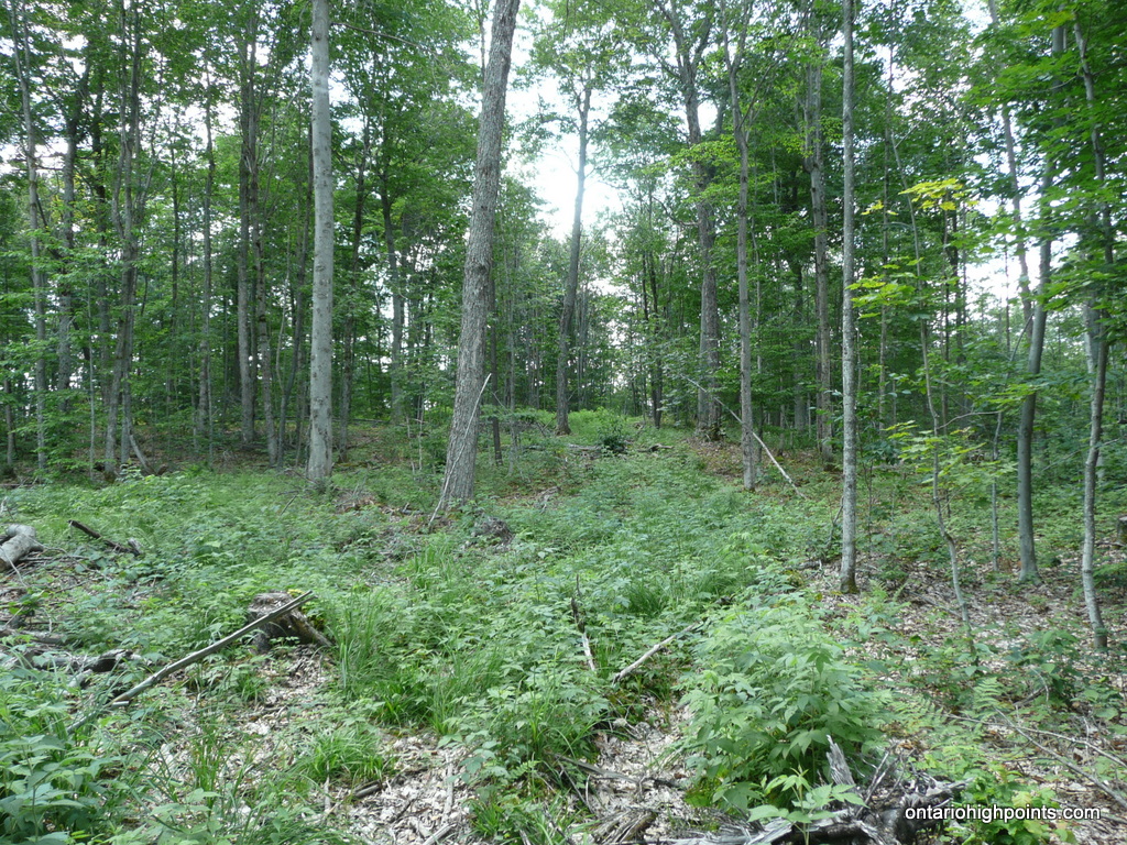
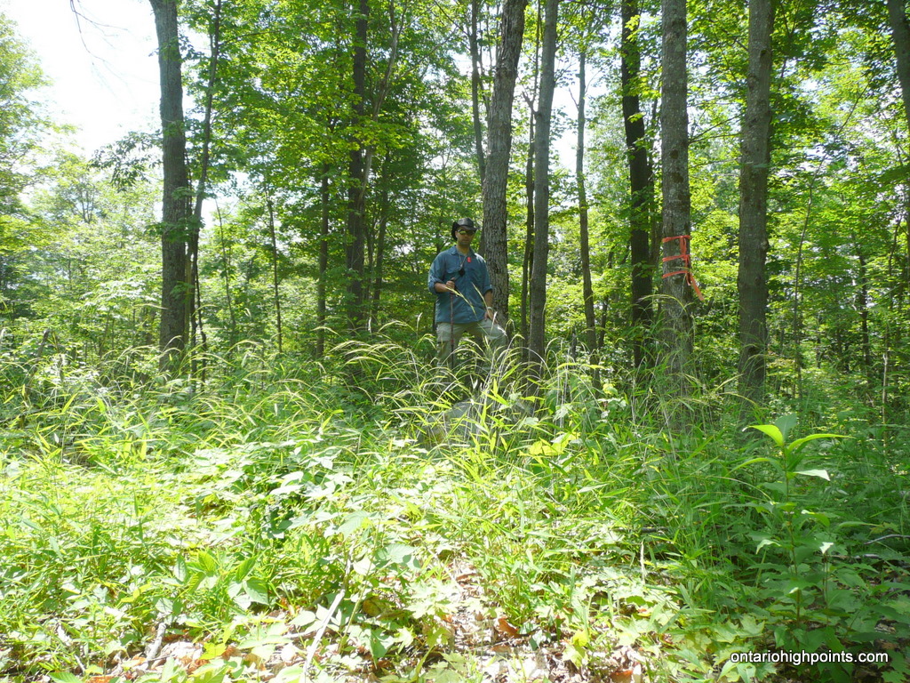
The summit is a fairly flat area with 2 small ridges competing for the highest ground. The area immediately between 2 medium sized boulders appeared to be the highest spot. Trees obscure any possible views.
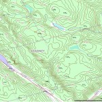
View a larger version of the map
Gallery:
-
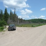
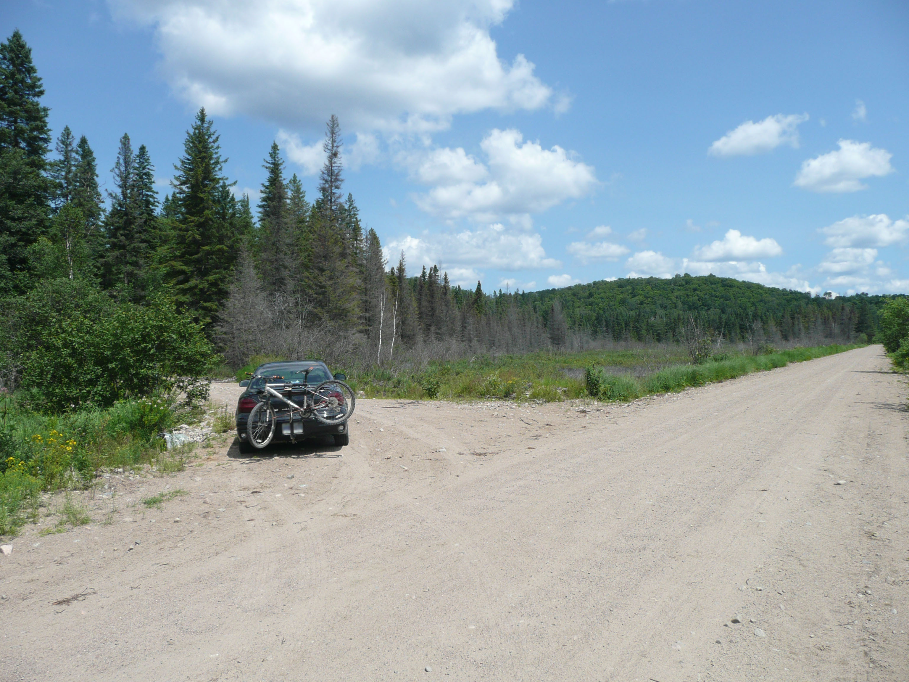
- Parking at the ATV road trailhead on Rain Lake Road
-
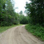
- The ATV road in
-
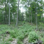
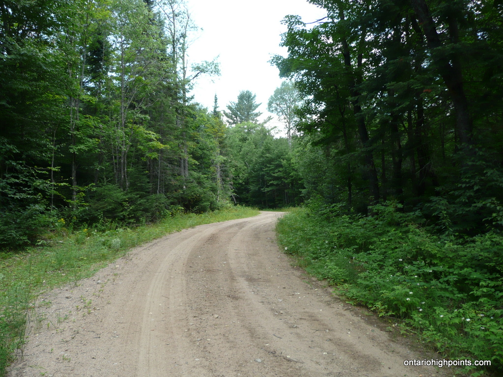
- Forest with thin undergrowth near the summit
-
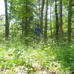
- Summit area
-
- Peak 546 (OBM)
Peak 546 Trail GPS Track (.gpx format)
Related Links:
Peak 546 on peakbagger.com