Cup and Saucer
Posted by Derek on Jul 17, 2010

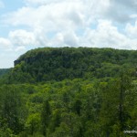
Cup and Saucer / Manitoulin High Point
GPS recorded height: 1171 feet / 357 meters
Lat/Lon: N45 51.000 W82 06.370
Date Summited: July 19, 2009
Last Updated: September 13, 2014
Directions:
The Cup and Saucer is the highest point on Manitoulin Island. There are 2 ways to get to Manitoulin Island. From Sudbury, take Highway 17 west and turn south onto Highway 6 through Espanola. Continue on Highway 6 for 52 km and cross the swing bridge into Little Current. Continue west on Meredith Street, past the intersection with Manitowaning Street (keep straight), where Highway 6 diverges left and then turn left on Worthington Street where Highway 540 begins. Continue on 540 for 23 km and turn left onto Bidwell Road. The parking lot for the Cup and Saucer trail is a short distance (600 meters) on the right.
The other way to get to Manitoulin Island is via the Ferry from Tobermory, which lies at the tip of the Bruce Peninsula. Once arriving on Manitoulin Island at South Baymouth, take 6 north for 12.4 km until reaching the left turn onto 542. Proceed on 542 for 23.7 km to Mindemoya and turn right onto onto 551 for 11.6 km to West Bay. At West Bay, turn right onto 540 and continue north for 6.5 km at which time Bidwell Road and the parking for the Cup and Saucer Trail will appear on the right.
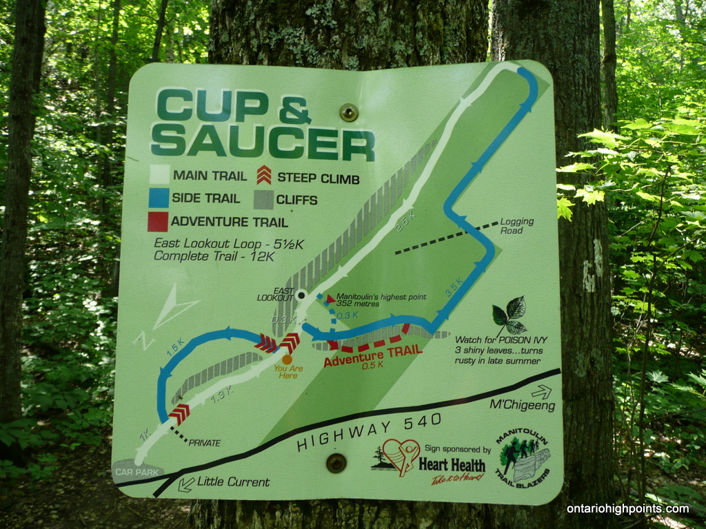
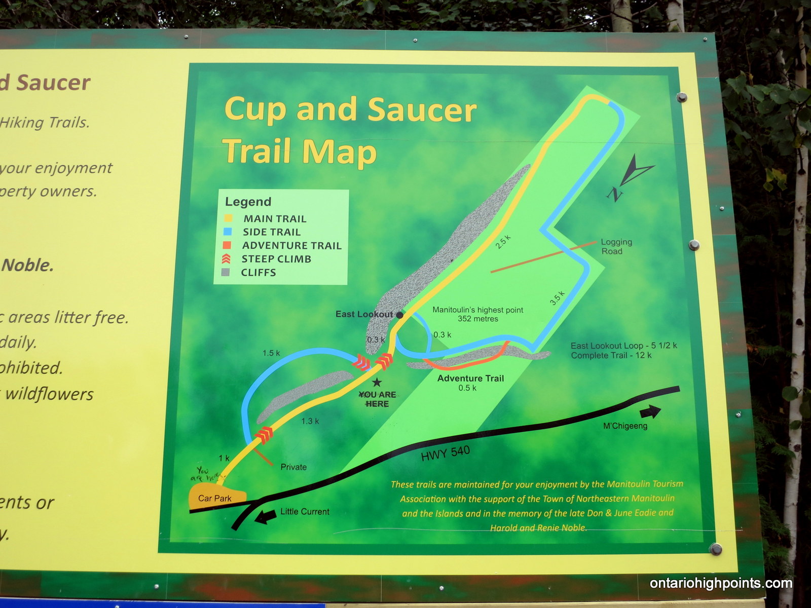
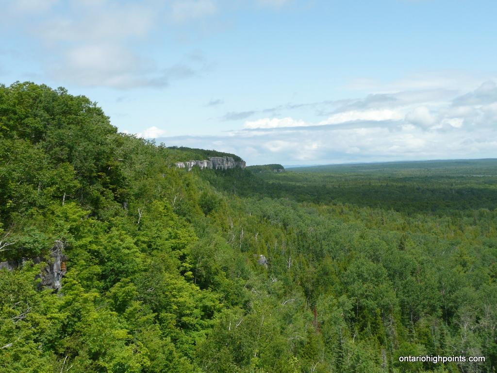
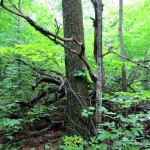
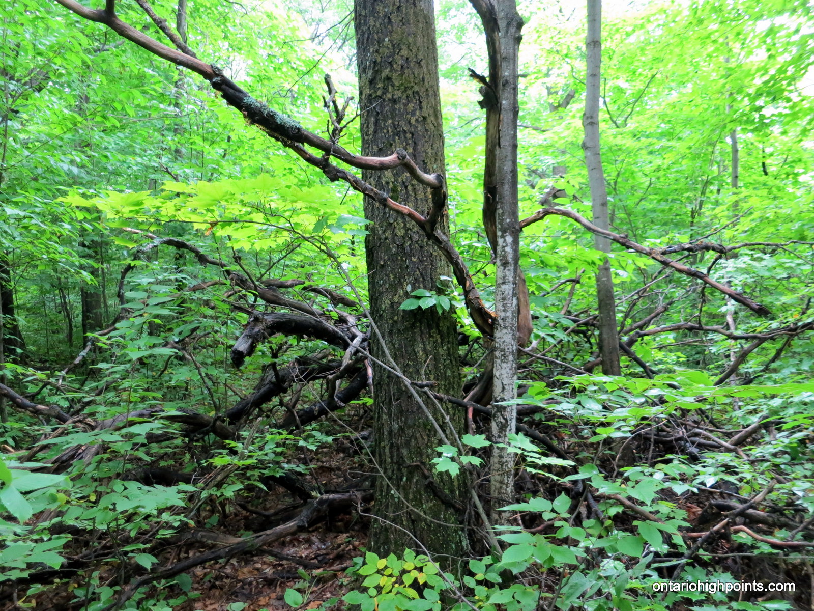
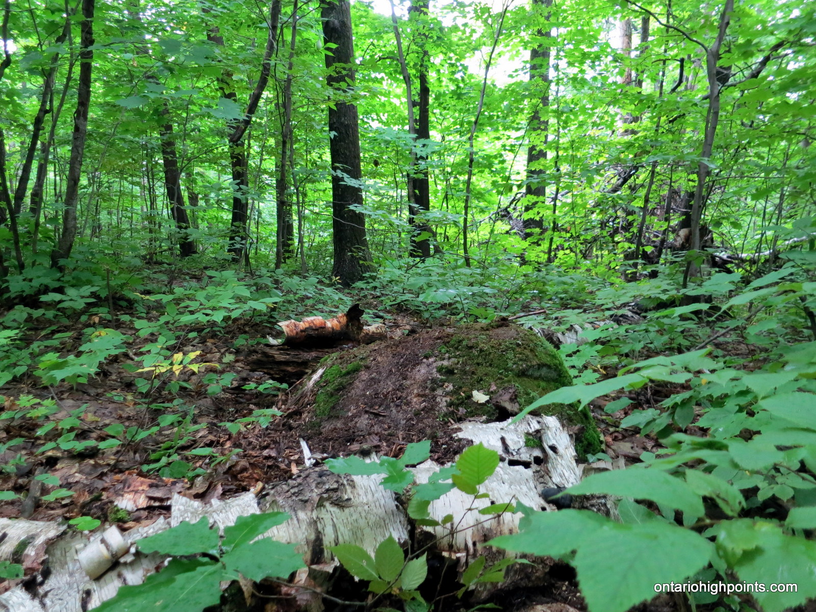
There are 2 main trails as well as a couple of side ‘adventure’ trails for the Cup and Saucer. The white and blue trails form a 9.9 km loop around the Cup and Saucer formation. The most direct route from the parking lot to the Manitoulin High Point is to take the more scenic white trail up the Cup and Saucer. Shortly past the steep climb up to the East Lookout, a side trail branches to the right and it is a short walk to a small concrete footing which is the highest point along the trail. The highest point on Manitoulin however, is 50 meters southwest off the trail at the coordinates: N45 51.000 W82 06.370. A large tree beside a pile of fallen trees / branches is the most likely location of the highest point. A moss covered boulder 20 feet northeast of the tree is another candidate for highest point.
View a larger version of the map
Gallery:
-
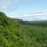
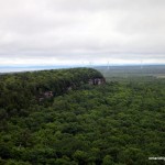
- Cup and Saucer / Manitoulin High Point
-
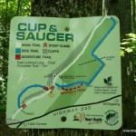
- Old Cup and Saucer Trail Map
-
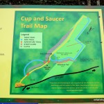
- New Cup and Saucer Trail Map
-
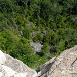
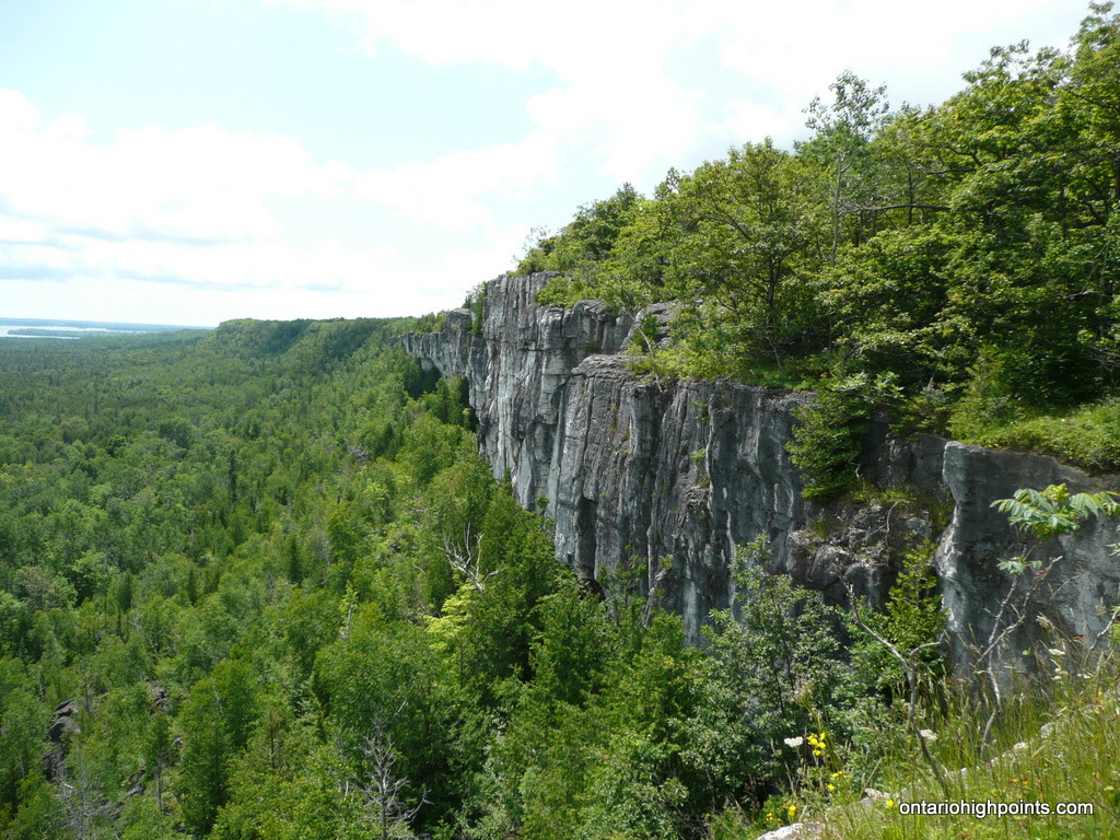
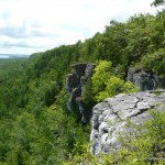
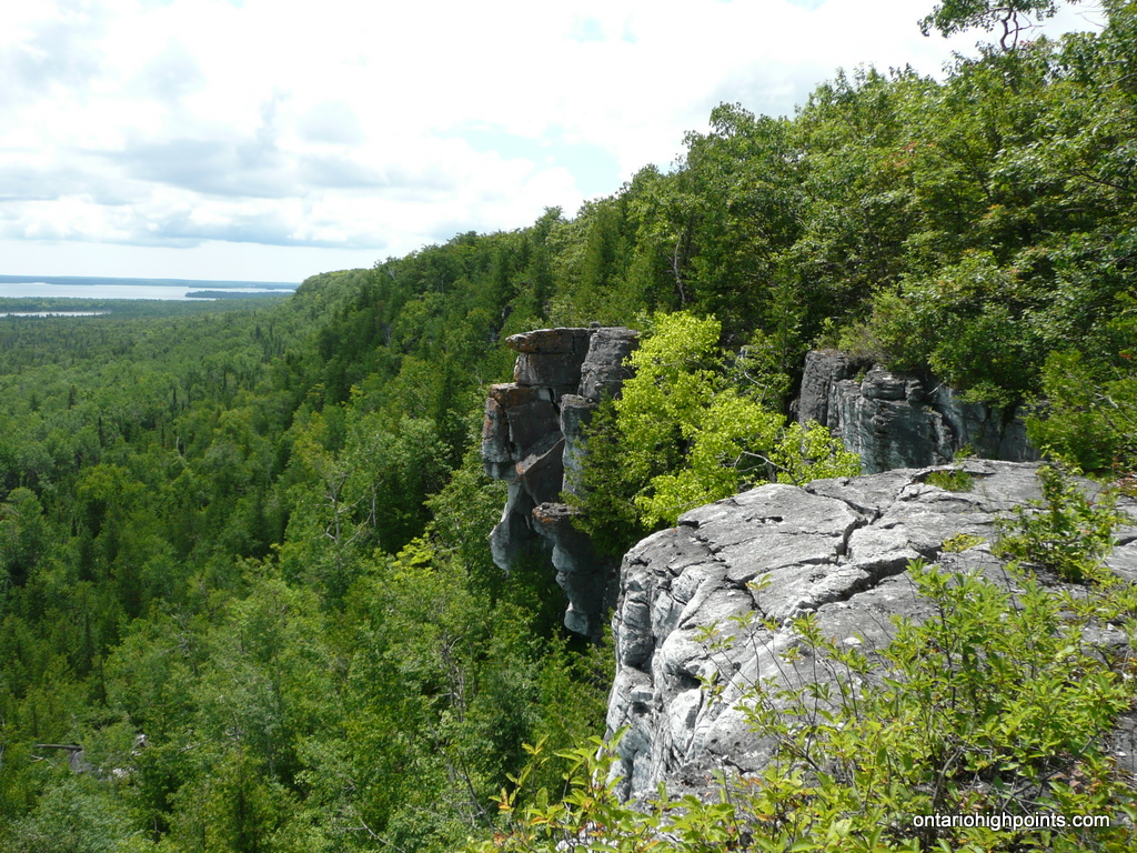
- The view down from the cliff edge
-
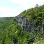
- Cliff scenary
-
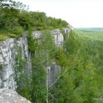
- Another cliff shot

-
- View along the white trail
-
- View from the far end of the white trail
-
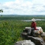
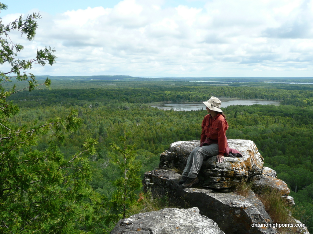
- Val looking out
-
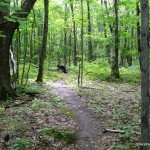
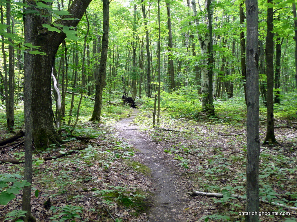
- The blue trail runs through the forest
-
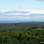
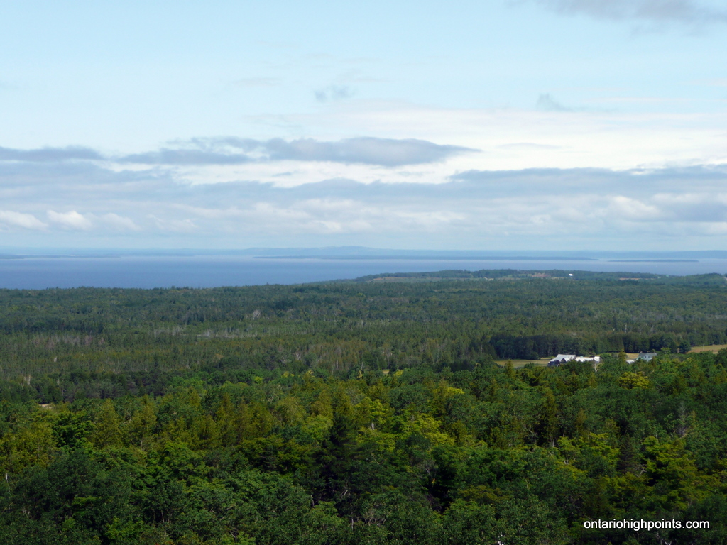
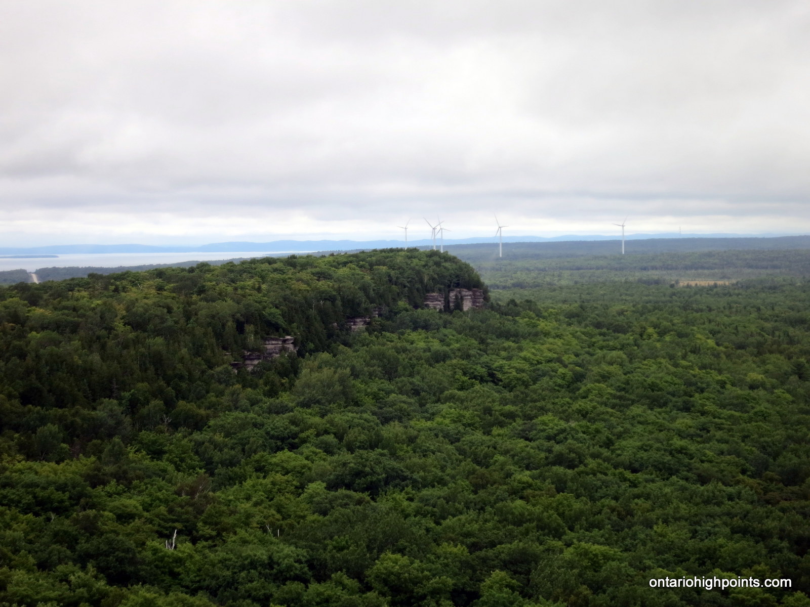
- View East from the cliffs
-
- Wind turbines
-
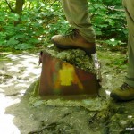
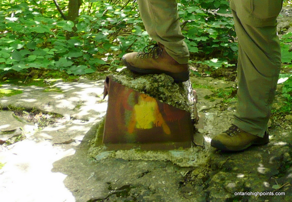
- Concrete footing
-
- Highpoint Candidate #1
-

- Highpoint Candidate #2
Cup And Saucer Trail GPS Track (.gpx format)
Related Links:
Manitoulin High Point on peakbagger.com
Hello, just wondering the level of difficulty of the Cup and Saucer trail that takes you to highest point, both the 9km loop and the shorter. Thank you!
Hi Joanne, I would rated this as a moderate hike. Most of the trail, especially the blue route is fairly flat, but with a couple of steep sections as you ascend up to the lookout. It took us 3 hours to hike the 10km loop.
Hiked the Cup and Saucer trail today..As per your directions you turn left on 540 NOT right ….right turn will take you to the Marina…
The 3 hr hike was worth every minute
[…] how much more I love being outdoors and nothing beats fresh air and the open waters. We hiked the Cup and Saucer Trail was a 14km hike up the escarpment that included an adventure trail! We got to climb up rocks and […]
Are leashed dogs allowed on the trail?
Is there any camp site for tent trailer around trail?
[…] Bridal Veil Falls, it is only a twenty-minute drive to the CUP AND SAUCER TRAIL. A moderate 10 km loop, the Cup and Saucer Trail climbs a part of the Niagara Escarpment to the […]
As of spring of 2017 the parking lot and trail to the cliffs has been changed due to private property issues. The trails are still open and fantastic. The new parking is about two km closer to the reserve at the foot of the bay and is well marked. I started hiking at “The Cup” over thirty years ago and now I try to rock climb there once a week when the weather is good. Send me an email if you would like to hook up for a for day of climbing!