Spider Lakes Peak
Posted by Derek on Aug 9, 2012
aka. Brant Lake Peak
Ontario 2100 Footer Rank: 18
Height: 2110 feet / 643 meters
Lat/Lon: N47.0508 W84.5609
Clean Prominence: 984 feet / 300 meters
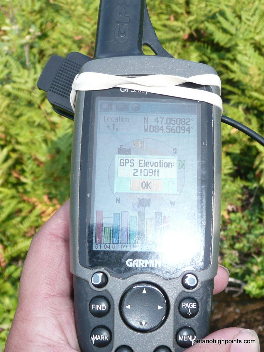
GPS recorded height: 2109 feet / 643 meters
Date Summited: August 1, 2012
Overview:
Spider Lakes Peak is a high hill in the Algoma Region of Ontario. It is located 12 km north of the scenic tourist destination: Batchawana Bay, 1.5 km east of Brant Lake and less than 1.0 km west of a group of lakes named the Spider Lakes (thus named). A spot height recorded on the Ontario Base Maps determines the mountain to be a few feet short (2096 feet) of 2100 feet, however GPS measurements at the summit place it higher (2109 feet).
Directions:
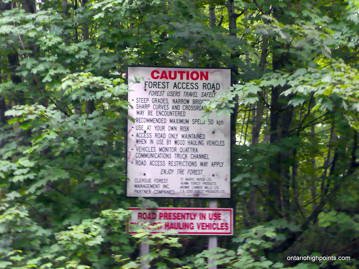
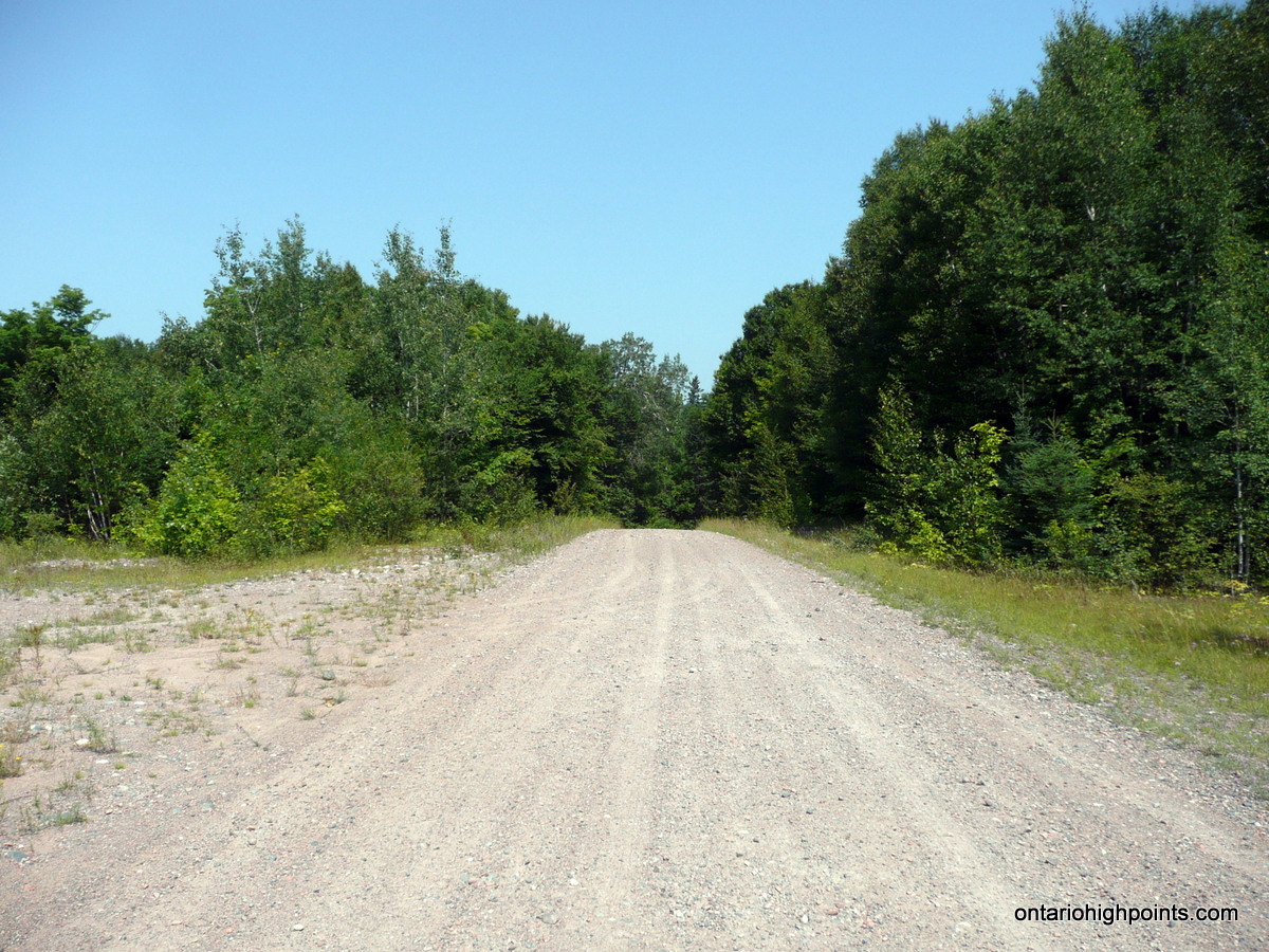
Travel north from Sault Ste. Marie on Highway 17 to Batchawana Bay. Turn right on Carp Lake Road which is about 1.4 km beyond the Voyageur Lodge and Cookhouse which is located across the road from Batchawana Bay. Carp Lake Road is a gravel road, wide enough for 2 vehicles in most spots and is in good enough shape that high clearance 4×4 vehicles should be able to make the entire 14.3 km road portion of the trip. Cars and 2 wheel drive vehicles may have trouble making the 600 foot ascent up the road and should park at a gravel pit along side the road at 1.6 km.
4.0 km from Highway 17, the road becomes steep and ascends 500 feet (most of the ascent) over the next 2 km. Turn left at the 8.0 km mark and continue up the road, past the steep cliffs of Mamainse Hill until reaching a series of campsites along the Cedar/Brant Lakes.
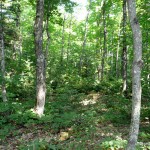
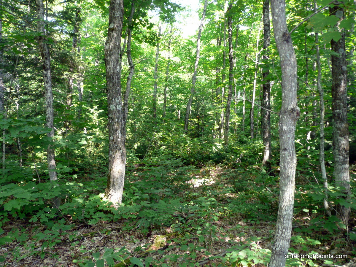
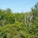
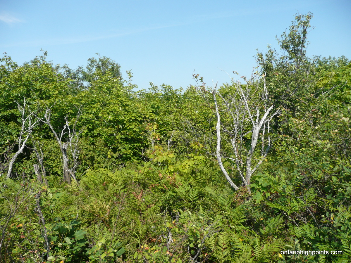
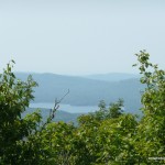
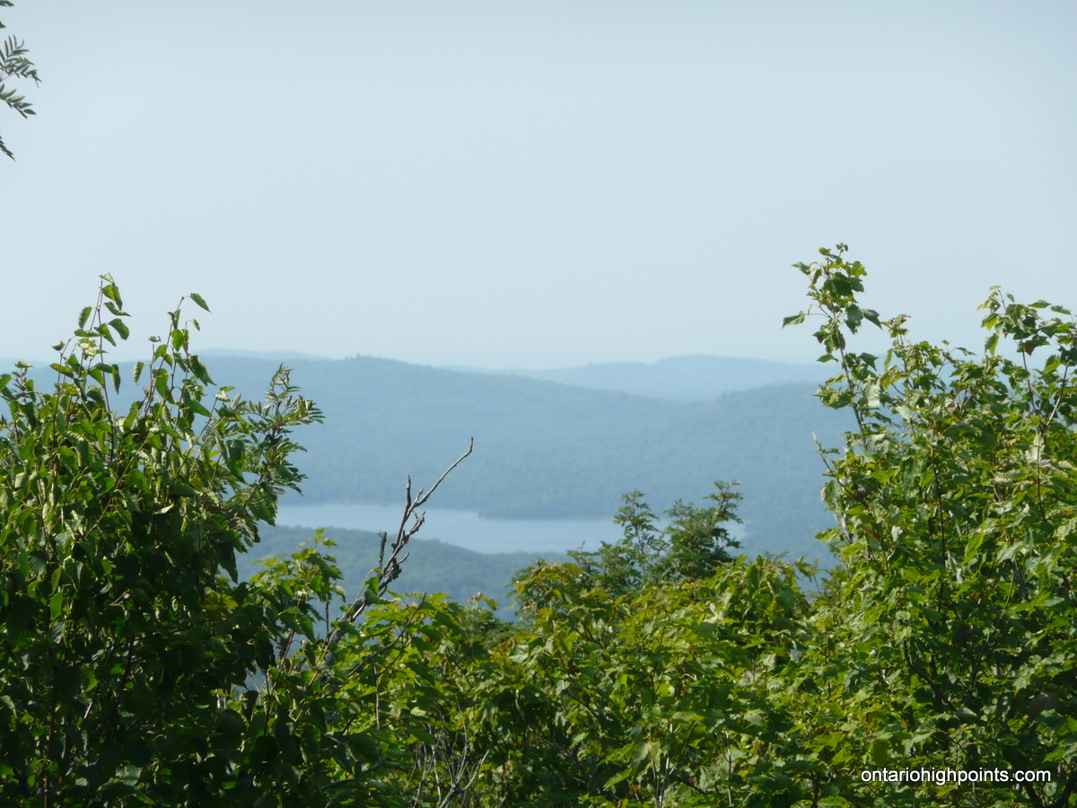
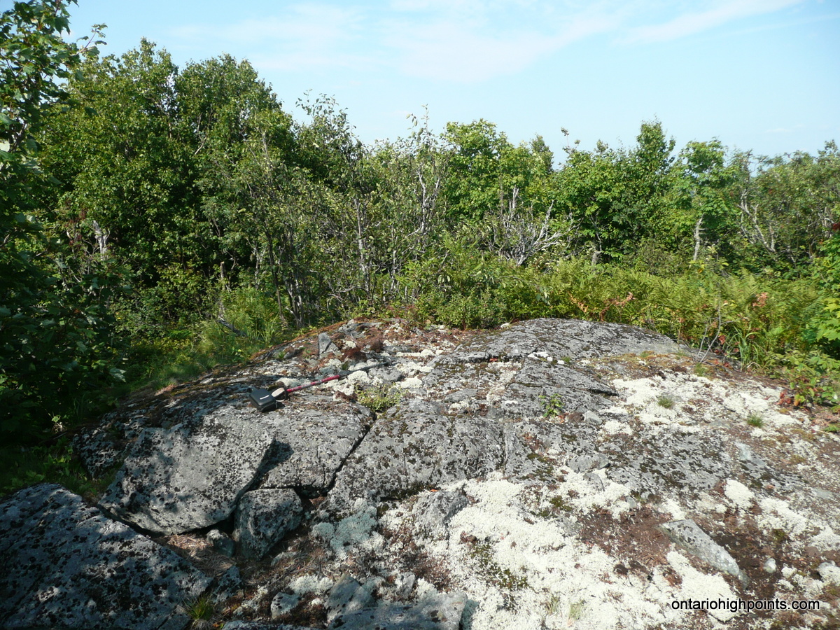
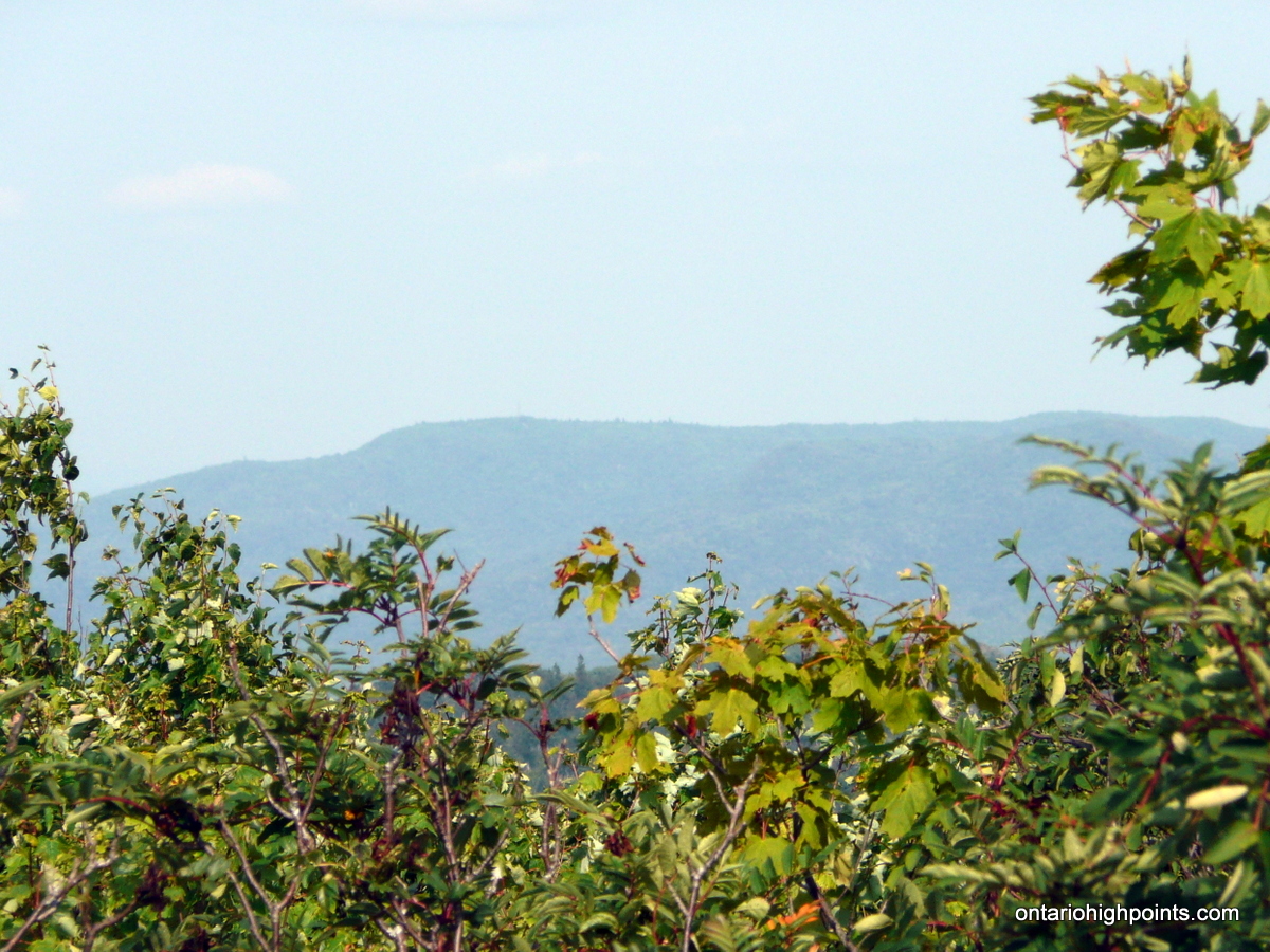
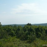
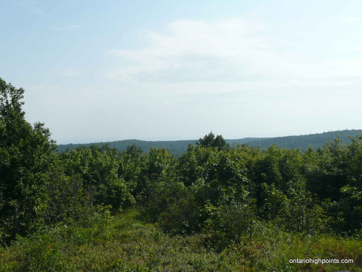
Just past Brant Lake, 14.3 km from Highway 17, the road reaches its closest point to Spider Lakes Peak. Begin the 1.5 km / 800 foot ascent bushwhack here, heading on a 124 degree magnetic north course towards the summit. Although the ascent is unrelenting, the bushwhack is through fairly open deciduous forest. The summit area alternates between open lichen rock outcrops and thick tag alder bushes. There are limited views at the summit, southwest towards Mamainse Lake and east towards Griffin Lake Peak with it’s fire tower faintly visible.
View a larger version of the map
Trip Summary:
00.0 km – Departed Highway 17 on Carp Lake Road (1:20 PM)
01.6 km – Parked on shoulder in old gravel pit. Continued on bike (1:54 PM)
04.0 km – Steep section: road climbs 500 ft over the next 2 km (2:05 PM)
06.0 km – Road levels out (2:30 PM)
08.0 km – Turned left at fork (2:40 PM)
14.3 km – Stashed bike and began the bushwhack: 800 ft of ascent / 1.5 km to the summit (3:15 PM)
15.8 km – Summit of Spider Lakes Peak (4:40 PM)
30.0 km – Arrived back at car on Carp Lake Road (6:55 PM)
Trip Report:
As I was driving out to Algoma a day early before meeting up with Dan Kachur for our Alvin Lake Peak and Marne Peak expeditions, I decided to make use of the extra half a day I would have. Spider Lakes Peak was on my to do list and not too far off of the highway so it seemed like a good candidate to climb that day. Arriving at Batchawana Bay at 1:00, I stopped at the Voyageur Lodge General Store for some supplies and then headed up Highway 17 to the turnoff onto Carp Lake Road. Although the road was in pretty good condition for a logging / backcountry road I decided to park my car to avoid damaging it on the rougher hill sections. I parked along side an old gravel pit at 1.6 km, geared up for the hike and continued along the road on my mountain bike.
The first few kilometers went by quickly but that changed once I reached the 4 km mark. The level road erupted into a series of tough ascents which I ended up pushing my bike up. I finally reached the crest of the steep ascent at 6 km. The 500 foot ascent, coupled with the hot weather was a tough slog, and I was going though my 3 liters of water quicker than anticipated.
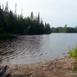
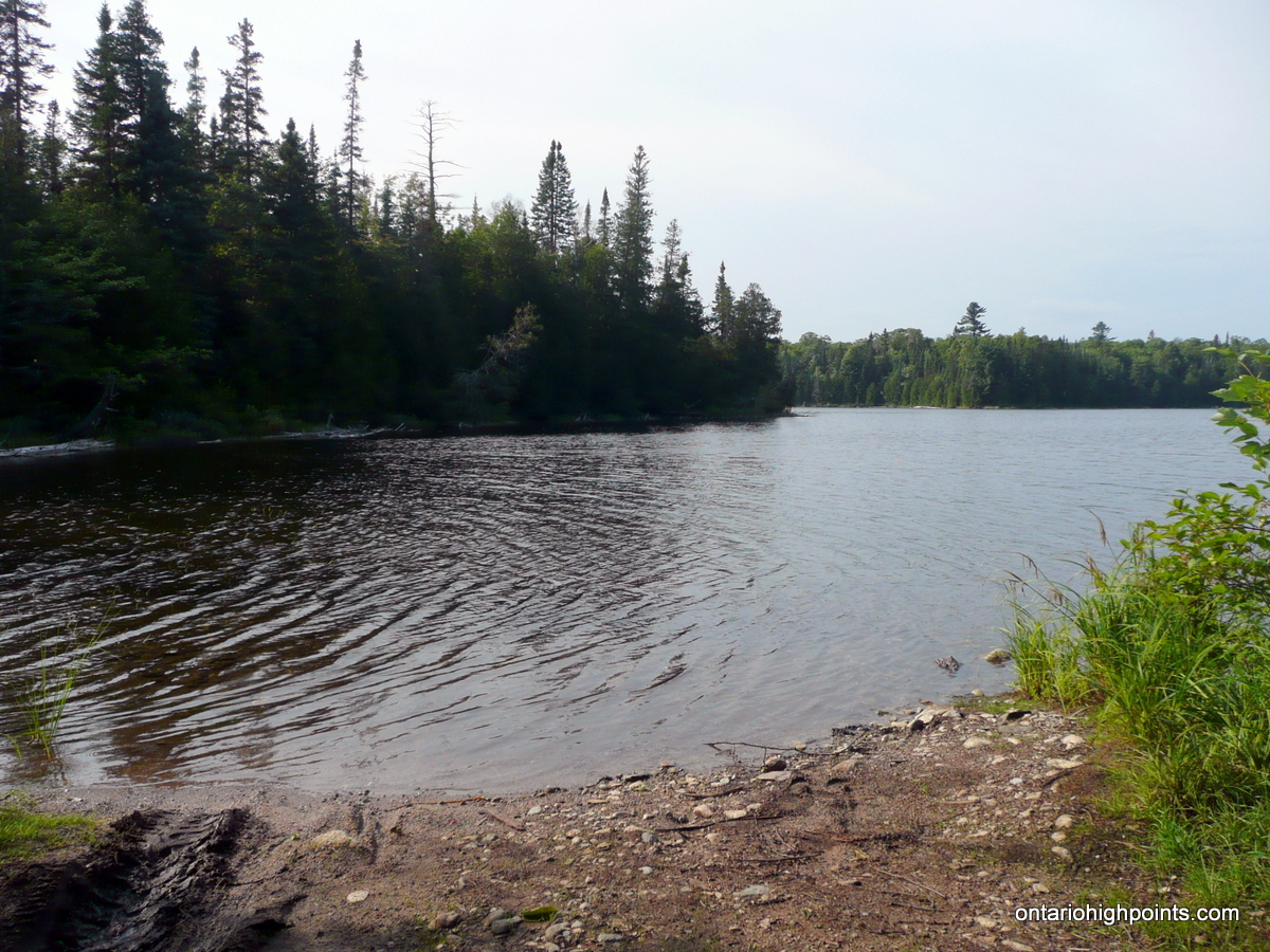
The rest of the bike ride was easier and I had only moderate elevation gains. I took a left turn at 8.0 km and further down the road there were some views of the cliffs of Mamainse Hill. As I reached Cedar and Brant lakes I made a mental note of a couple of campsites which had water access. If I needed to I could filter water at one of these spots.
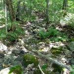
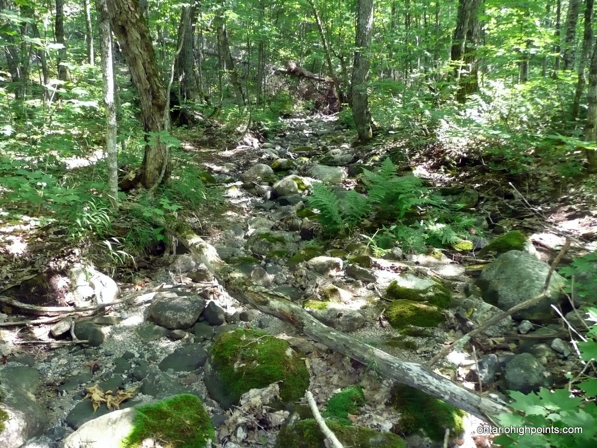
I decided at the 14.3 km mark that I wasn’t going to get any closer to the peak along the road, so I stashed my bike into the woods, put on my boots and headed off into forest on a 124 degree magnetic north course towards Spider Lakes Peak. Although there was still a lot of elevation gain along the bushwhack, my hike was made easier by the relatively thin underbrush beneath the deciduous trees. The forest was very dry and the small creeks which ran down off the peak had little to no water in them. As I neared the higher elevations there were a few cliffs which I was able to navigate up by hiking around to their more moderate northern slopes.
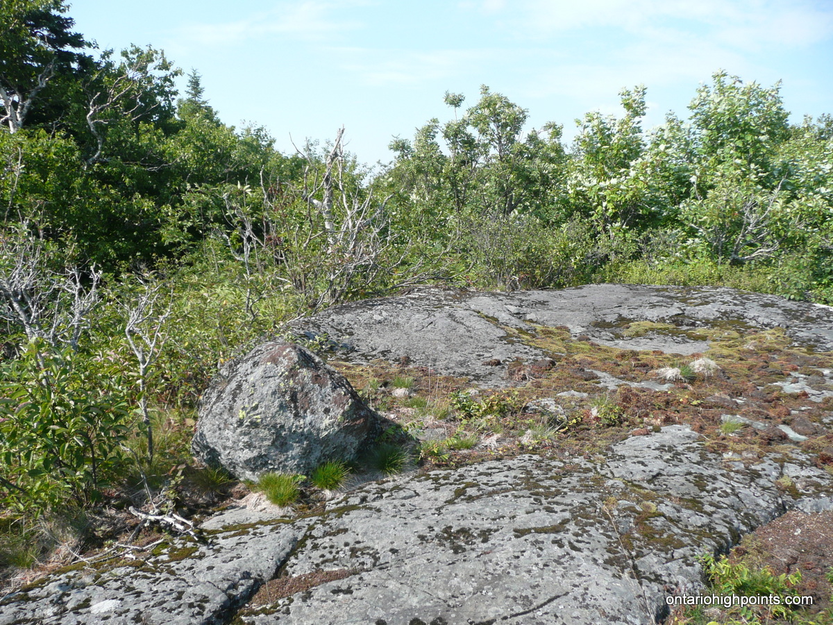
Eventually the deciduous forest gave way to the summit area which alternated between lichen covered rock outcrops and thick tag alder bushes. Atop the rock outcrops there were decent views. Although it was a hazy day I spotted the fire tower on Griffin Lake Peak which lay to the east and at another rock outcrop I got a view to the west towards Mamainse Lake. After exploring the summit region, I decided the highest point looked to be a bare rock section just north of the official OBM spot height. I rested here, took more photos and prepared for my descent.
The descent back down the bushwhack went as planned and I retraced my steps back to my bike. After noting my dwindling water supplies I decided to filter some water at the campsite on Cedar Lake. With one bottle refilled, I continued down Carp Lake Road and ran into a couple of Sand Hill Cranes which immediately started to run away down the road. I took couple of quick jerky photos while on my bike, and tried to get in closer. The Sand Hill Cranes bolted and took flight and I never did catch up with them again.
The trip down the remaining section of road to the car went by quickly even as I had to ride the brake down the steep hills. I reached my car and with a threatening storm blowing into the area so I decided to head back to the Voyageur Restaurant to wait out the rain.
Gallery:
-
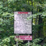
- Logging Road Warning Sign
-
- Carp Lake Road
-
- Start of the Bushwhack
-
- Dried up creek bed
-
- Thick brush at summit
-
- View of Mamainse Lake?
-
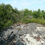
- Summit of Spider Lakes Peak
-
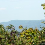
- Hazy view towards Griffin Lake Peak
-
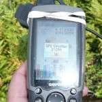
- GPS Elevation
-
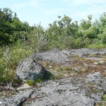
- Summit high point candidate
-
- View South from summit
-
- Campsite on Cedar Lake
-
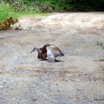
- Sand Hill Crane

Spider Lakes Peak GPS Track (.gpx format)
Related Links:
Spider Lakes Peak on peakbagger.com