Griffin Lake Peak
Posted by Derek on Jan 16, 2009

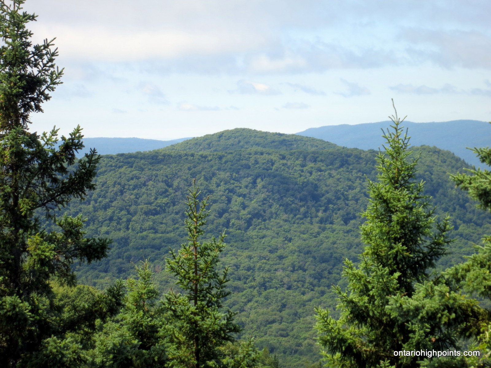
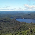
Griffin Lake Peak shown on the left, with Batchawana Mt. on the right
Height: 2136 feet / 651 meters
Lat/Lon: N47.0754 W84.3829
Clean Prominence: 827 feet / 252 meters
Line Parent: Ogidaki Mt
Key Col: N47 08.286 W84 18.010 (1345ft / 410m)
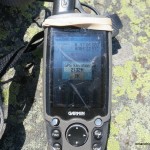
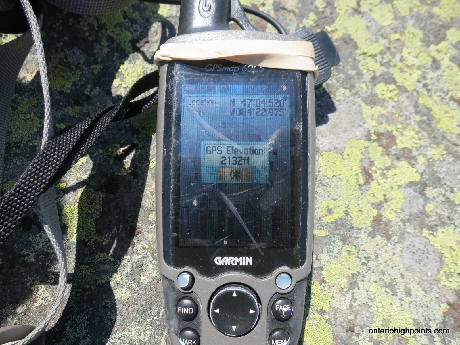
GPS recorded height: 2135 feet / 651 m
Date Summited: July 21, 2008
Updated: November 7, 2015
Overview:
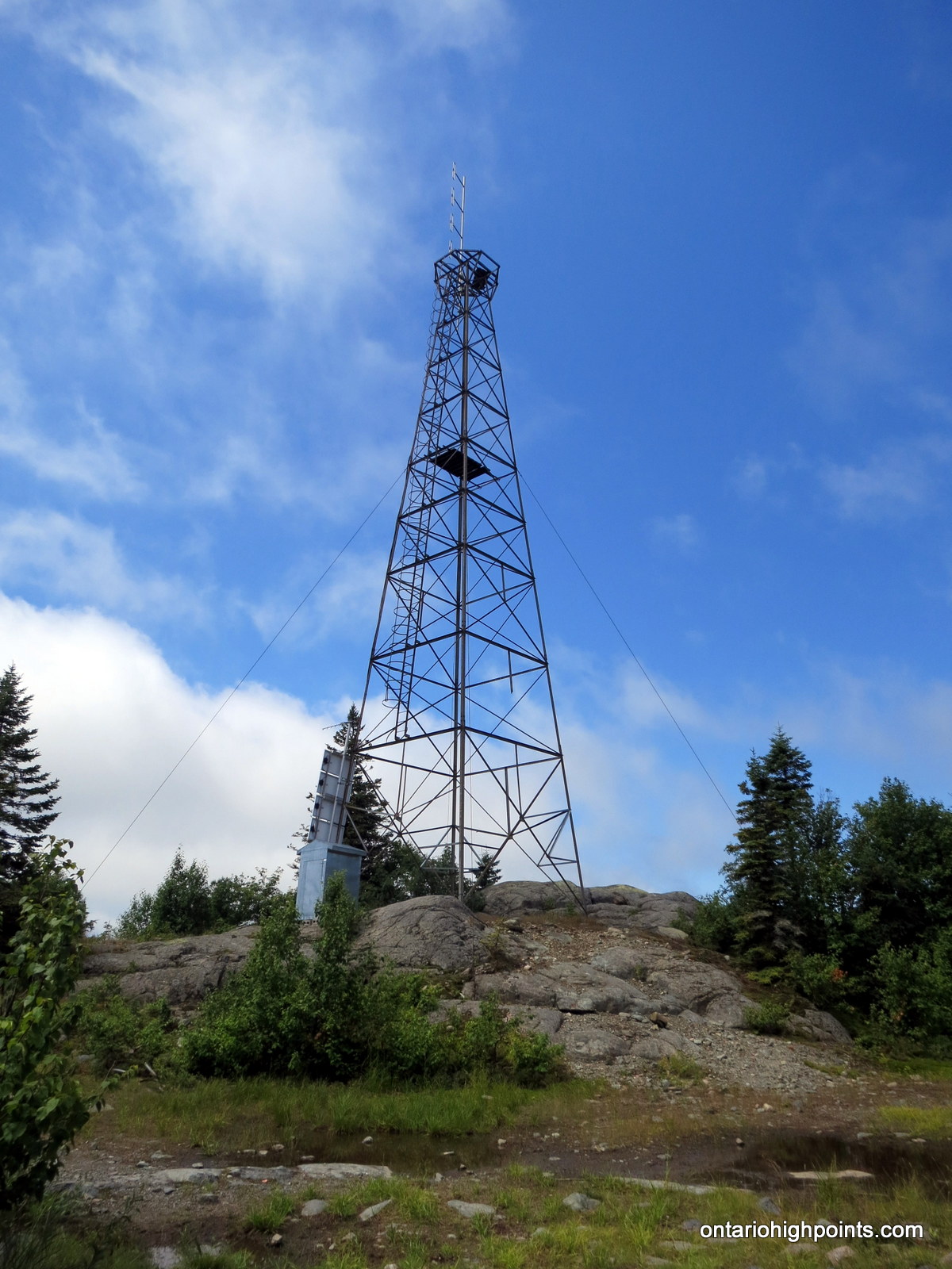
Griffin Lake Peak is the name given by Brian Back of Ottertooth.com to an unnamed peak in the Algoma Region, north of Sault Ste. Marie. Dirt roads of varying condition lead to the broad summit which is marked by a well preserved fire tower. The open summit rewards the hiker with 360 degree views.
There is some confusion over the identity of Batchawana Mountain and whether Griffin Lake Peak is in fact Batchawana Mountain. The 2 mountains with their close proximity share the same massif and could be considered 2 peaks on the same mountain. However, Ministry of Natural Resources maps clearly mark the lower summit (below 2100 feet) southwest of Griffin Lake Peak as Batchawana Mountain, even though there are sources that indicate that Batchawana Mountain is one of the highest points in the province. The peak identified here as Griffin Lake Peak (not an official name) is clearly the higher peak, and exceeds 2100 feet.
Directions:
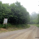
Northbound from Sault Ste. Marie on Highway 17, turn right on Mile 38 Road. This intersection is about 53 km north of Sault Ste Marie, on the northern shore of Batchawana Bay. Follow this gravel road for 7 km until reaching a fork in the road. Take the left fork and at about 20 km from Highway 17, the road passes an acid rain monitoring station.
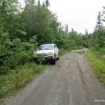
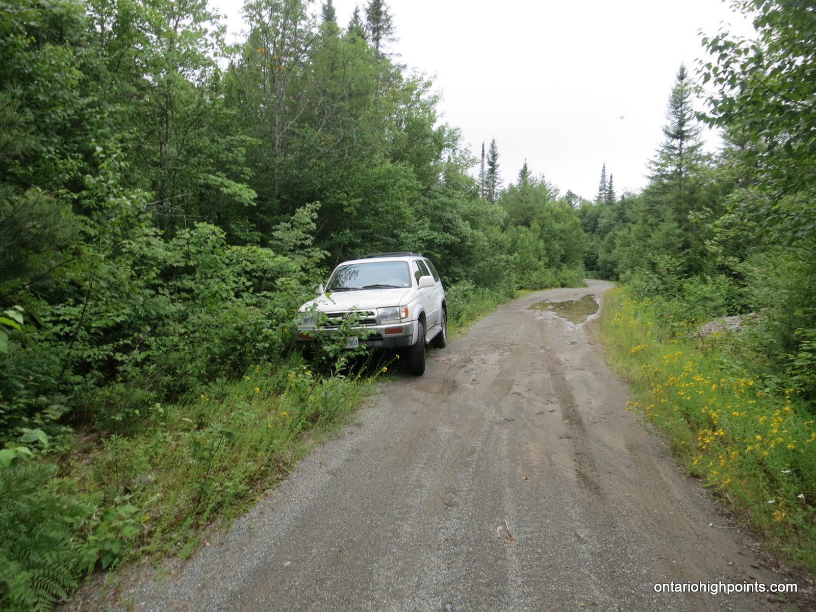
At this point the road becomes narrower and travel becomes slower. Continue up the road and take the right fork 1 km past the monitoring station. 600 metres past the fork, there are a few pull offs along the road which can be used for parking.
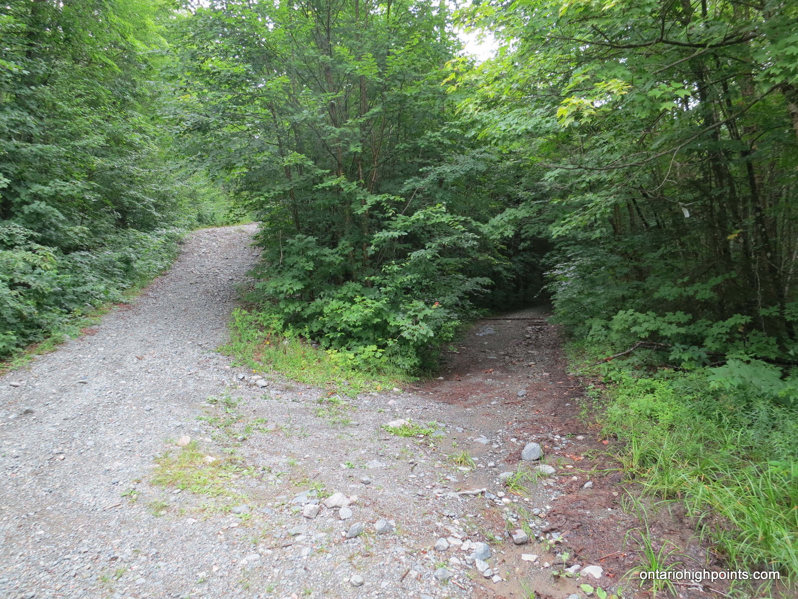
A city car will be unable to cross the creek, which is 100 metres down the hill from the parking spots. A 4×4 however, could easily continue on if the creek isn’t high. Continue on the main gravel road for 2.2 km, at which a less obvious trail enters on the right. If traveling by car/truck, this is a good place to park, as the trail may not passable at some spots. Take this right fork, onto the over grown road and continue for 3km to the fire tower which marks the summit. Best views are north-west to Griffin Lake, which the peak is thus named and south-west to Batchawana Mt.
Watch out for logging trucks on Mile 38 Road and ATVs on the trail to Griffin Lake Peak.
View a larger version of the map
Hike Log:

Pancake Bay sand beach
We left the campground at 8:00 AM, fairly early, since it had been my intention to attempt to find a route up nearby Batchawana Mt. after summiting Griffin Lake Peak.
It had rained quite heavily the night before, and although it was overcast that day, it looked like it was going to hold off. About 20 minutes after leaving Pancake Bay we found the turnoff to Mile 38 Road and began the drive down the gravel and often potholed road. Signs warning drivers of the imminent road condition dangers immediately greeted us. Luckily these claims are largely exaggerated, however caution is advised as to avoid the oncoming logging trucks roaring down the road. I had heard tales of people forced to swerve off the road to avoid the trucks, and I was pretty sure I didn’t want to end my trip digging my car out of a ditch.
The drive up Mile 38 road was fairly uneventful, and we made good time especially considering we were driving a city car on a logging road. At the 7 km mark of Mile 38 Road, we were careful to take the left fork and continue north on the road on until reaching the MNR acid rain monitoring station buildings. Past the station, the roads became a little more dicey, but we only had a little further to go. About 1 km from the station, a smaller road branched to the right which we took.

Pull off parking for Griffin Lake Peak
We then drove a bit further on, about 700 meters further to a creek, which ended our drive. There was no way my car was going to get across that. So turning around, we found a couple of pull offs, about 100 meters from the creek, and parked the car. From here on, it would be by foot. It was just after 9:00 AM, and from Highway 17, the drive up Mile 38 Road had taken roughly 50 minutes.
Once we left the car, we discovered what a wet and humid July day (in an already wet summer) in the middle of northern Ontario meant: Bugs! The bugs were horrible and Val and I quickly donned our mosquito head nets, which we continued to wear for the remainder of the day.

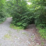
Right fork #2 to less-obvious trail
We hit the trail and set a fairly quick pace in a hopeless attempt to avoid getting swarmed by the local inhabitants. It took us 30 minutes on the fairly well maintained road before we came to the less-obvious overgrown trail branching to the right which would take us to Griffin Lake Peak.

A big puddle on the trail to Griffin Lake Peak

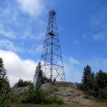
Griffin Lake Peak Tower

Griffin Lake Peak Summit

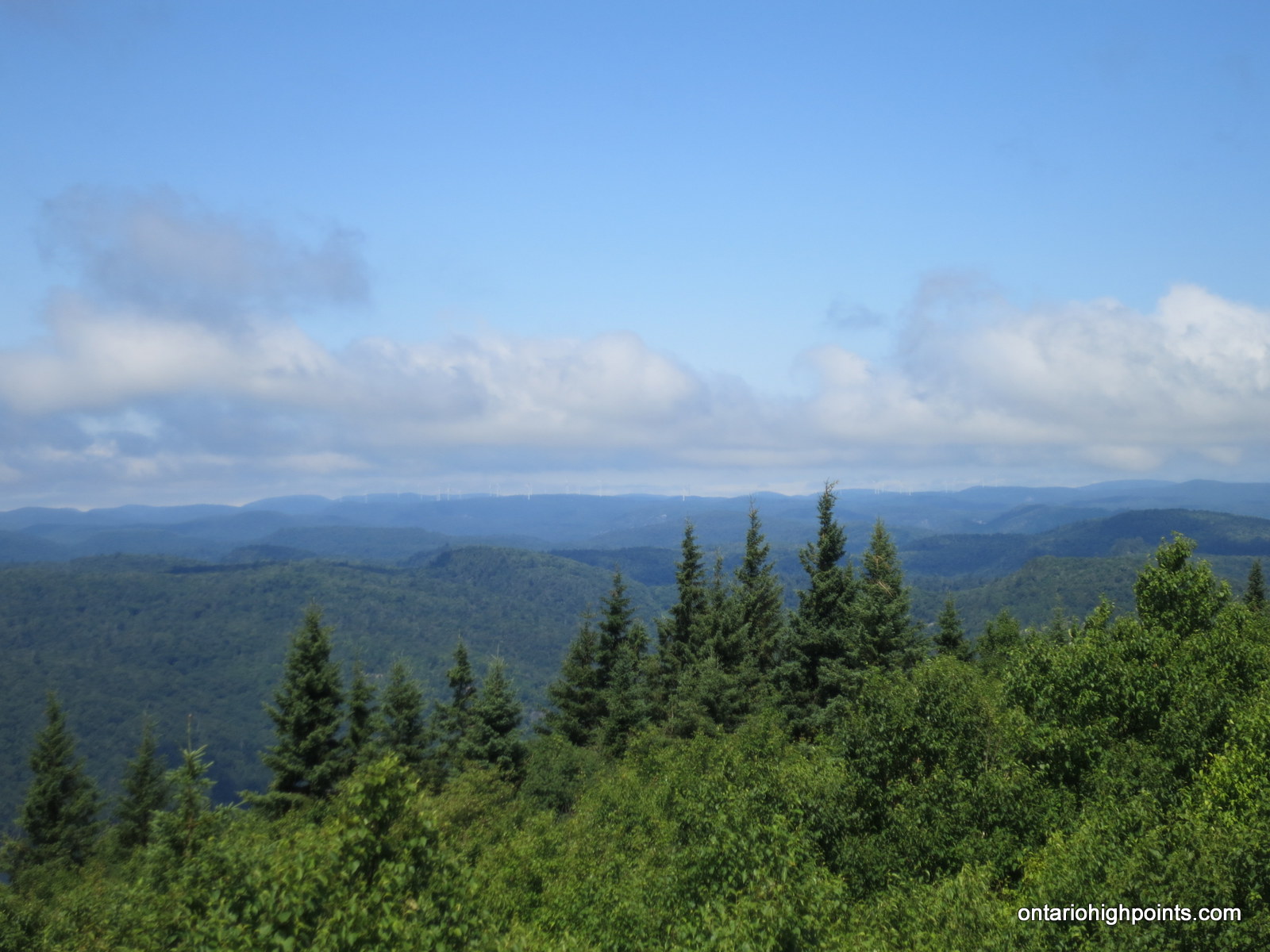
Batchewana Mt. from Griffin Lake Peak

Griffin Lake Peak GPS reading

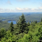
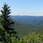
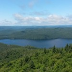
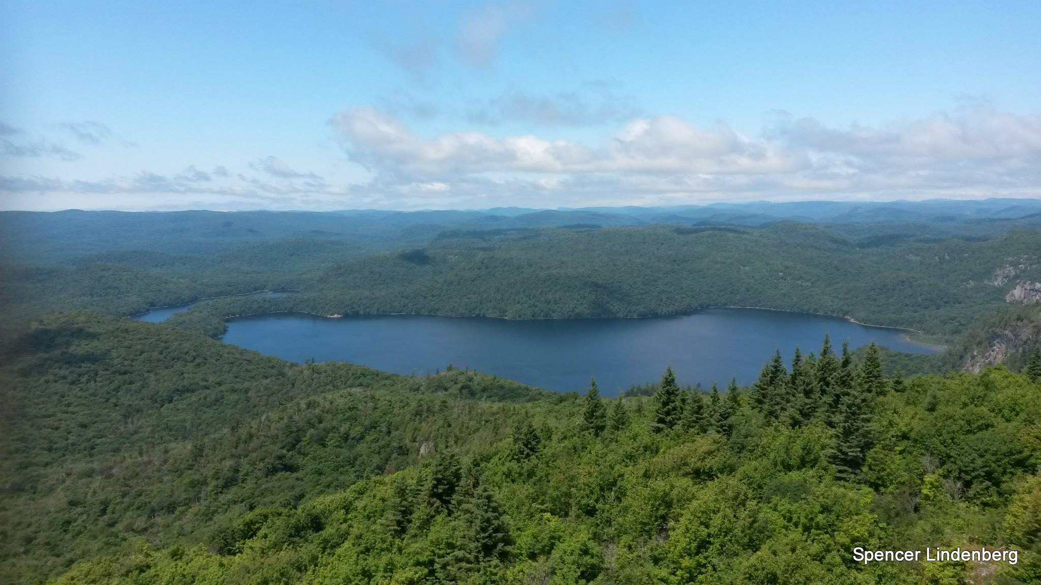
Griffin Lake from Griffin Lake Peak

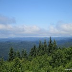
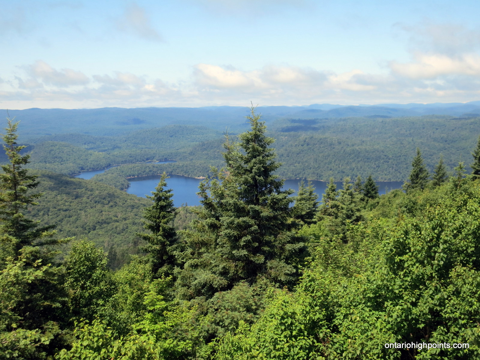
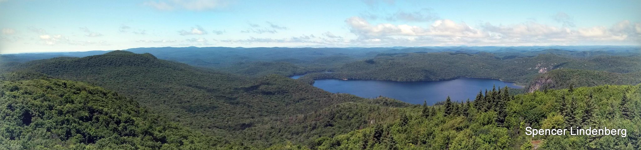
View to the southwest from Griffin Lake Peak
After having lunch on the summit, taking the obligatory photos and giving up on finding the geocache whose waypoint I had forgotten to load onto my GPS, we decided we would be bug feed no more and started to head down. I had still planned to hike over to and attempt to summit the smaller Batchawana Mt.
I was a lot less certain about this part of the journey, as I had no sources to base my plan on, except my mapsource topographical maps and the atlas of canada website maps. The maps showed that the road before the overgrown cutoff continued on and circling around Batchawana Lake, passing close enough to the summit of Batchawana Mt. and back to where we parked the car. We’d then bushwhack 1 km to the summit from closest point on this road. So after dodging the trees and puddles on the way back down the trail, we exited the brush and took a right north onto the road and headed up to Batchawana Lake. The road continued to be easily followed and obviously well travelled by 4×4 or ATV right up to the lake, where the MNR conducts some of their acid rain studies.
After passing the study area near the lake however, the trail narrowed considerably and an unmarked trail branched to the right. We stayed left as I knew I had to head west. Before long the trail disappeared completely, but I was hoping that we would hit the southbound trail that was marked on my maps. It should have been only 500 meters away, however 1 km later and no sign of any trail, it was becoming obvious that this trail no longer existed. We were getting pretty tired, as we were constantly harassed by the bugs during our stops, and we decided to turn around. Batchawana Mt. would have to wait another day.

Grouse on the road
We followed our track back out, passed the MNR acid rain study area and the cutoff to Griffin Lake peak and back to the car. On our way out, we even got to see some wildlife.
Gallery (from August 25, 2015 trip):
-
- Mile 38 Road caution sign

-
- Pulled off to park
-
- Right turn onto overgrown bush road
-
- Griffin Lake Fire Tower
-
- GPS Elevation
-
- Wind mills in the distance
-
- Batchawana Mountain
-
- Griffin Lake
-
- Panoramic from Griffin Lake Peak
-
- Spencer climbing the fire tower
-
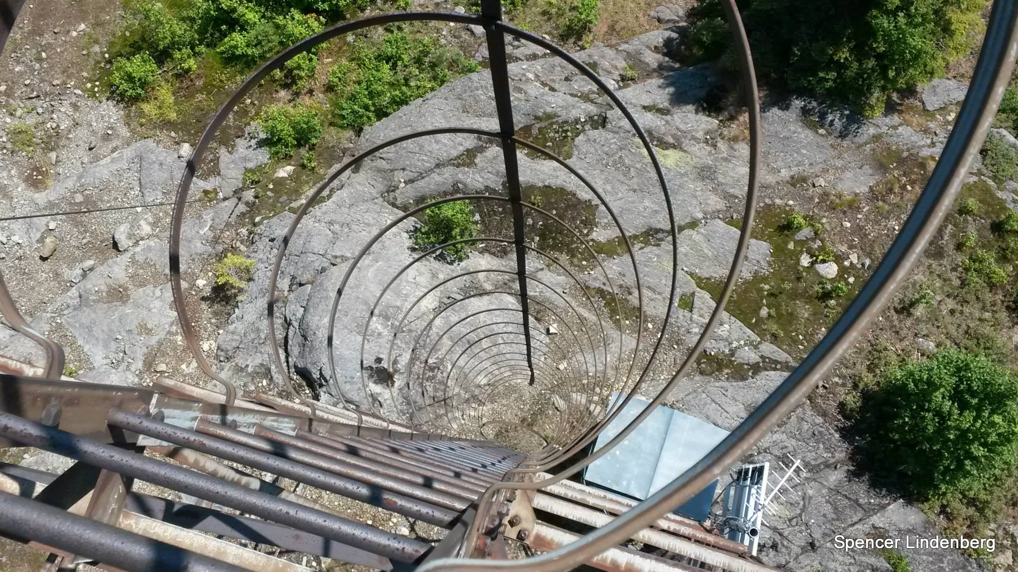
- Looking down the ladder
-
- Griffin Lake from the fire tower
-
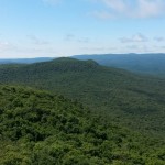
- Batchawana Mt from the fire tower

-
- Panoramic from the fire tower
Videos (from August 25, 2015 trip):
Griffin Peak GPS Track (.gpx format)
Related Links:
Batchawana 360 geocache
Griffin Lake Peak on Summitpost
Dan Weemhoff’s Griffin Lake Peak hike
Batchawana Mountain
Atlas of Canada – Toporama
[…] of the local hikers I knew had been to this tower. Especially since there is so much information available about it online. It even made my hike tick list before I moved to the […]
This is a good hike with a pleasant reward at the top. I hiked up on 12-08-25 with a good friend and my daughter. When we broke out of the trees onto the clear hill top, my daughter exclaimed in delight. The 360 degree view of the surrounding hills with a view down to Batchawana Bay on the eastern edge of Lake Superior is terrific. This is a much more rewarding climb than the slightly higher Ogidaki 30 odd klicks east. We did not have any bugs to speak of, so it was a really great afternoon hike.
Griffin Lake is my heritage. my grandfather Fred Constable started the fly in fishing lodge and ended up later in his life in the trappers cabin. Going up to the ‘tower”is a treat every year, knowing my family has been ever present in the vast surrounding of such a beautiful landscape, Cheers!!!! Griffin Lake
Two friends and myself skiied to the top to this peak in the winter of 1978. It took us two days breaking trail to make it to the top of the mountain. The first day we broke trail to near the peak and skiied back down to the place we were staying in Batchewana Bay. The second day we finished breaking trail to the top and you could see Sault St. Marie in the distance..360 degrees view. We were told at the time the structure at the top was a radar station left over from WW II.