Rainy River District High Point
Posted by Derek on May 1, 2017
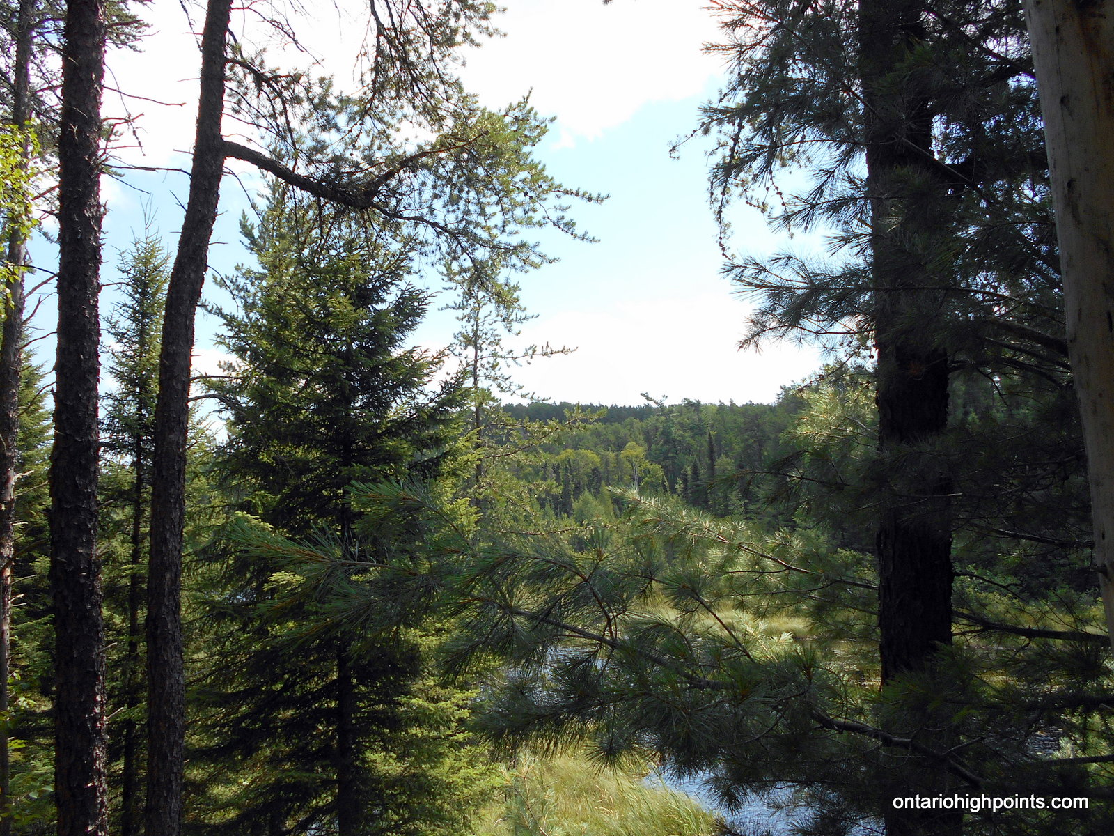
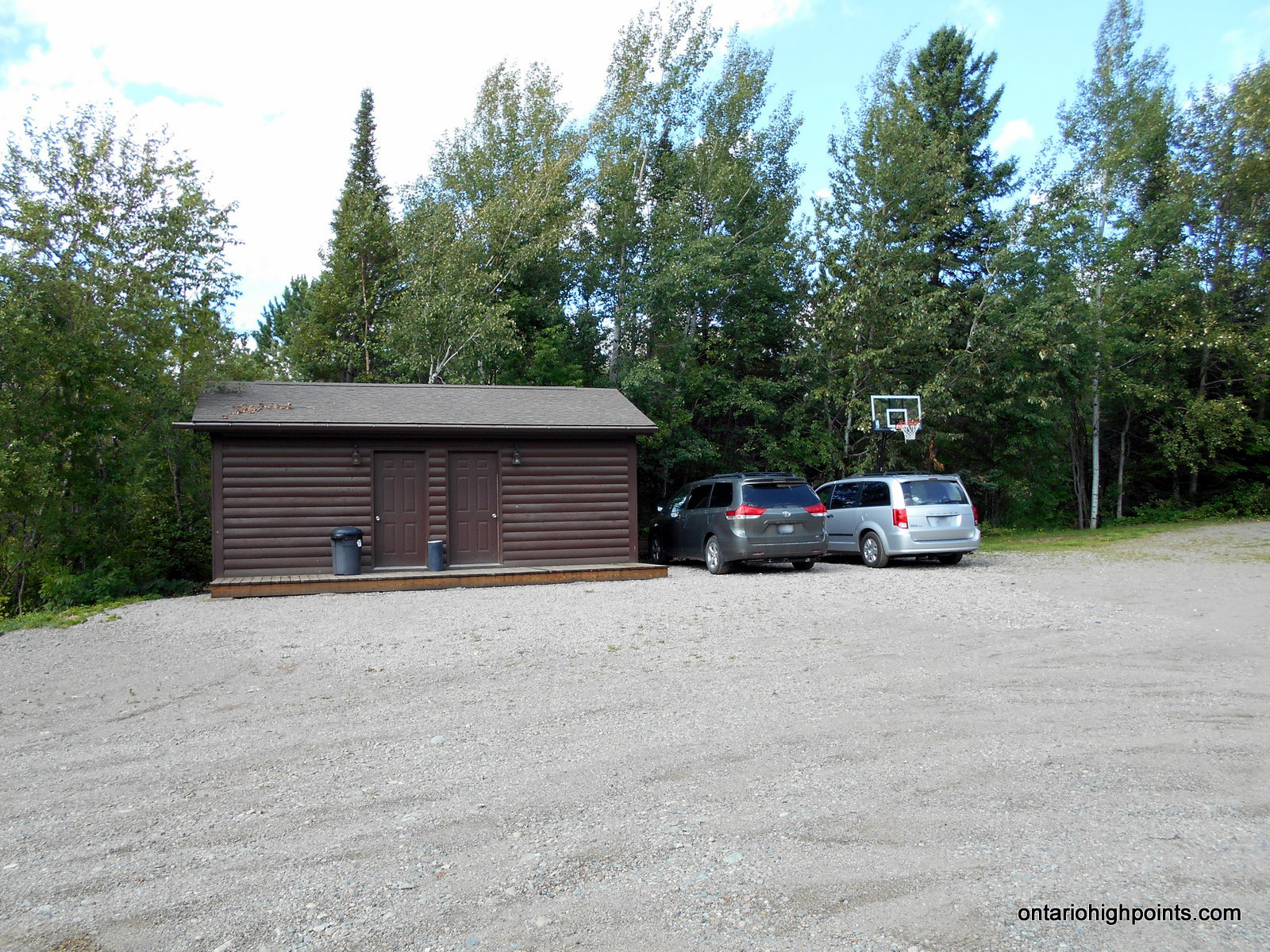
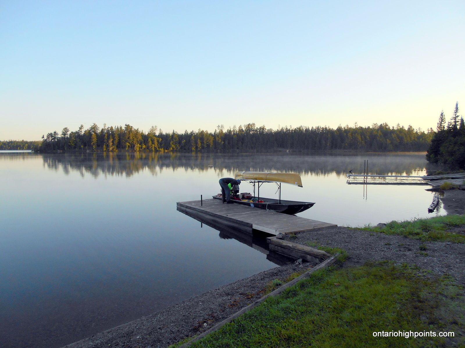
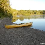
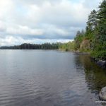
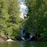
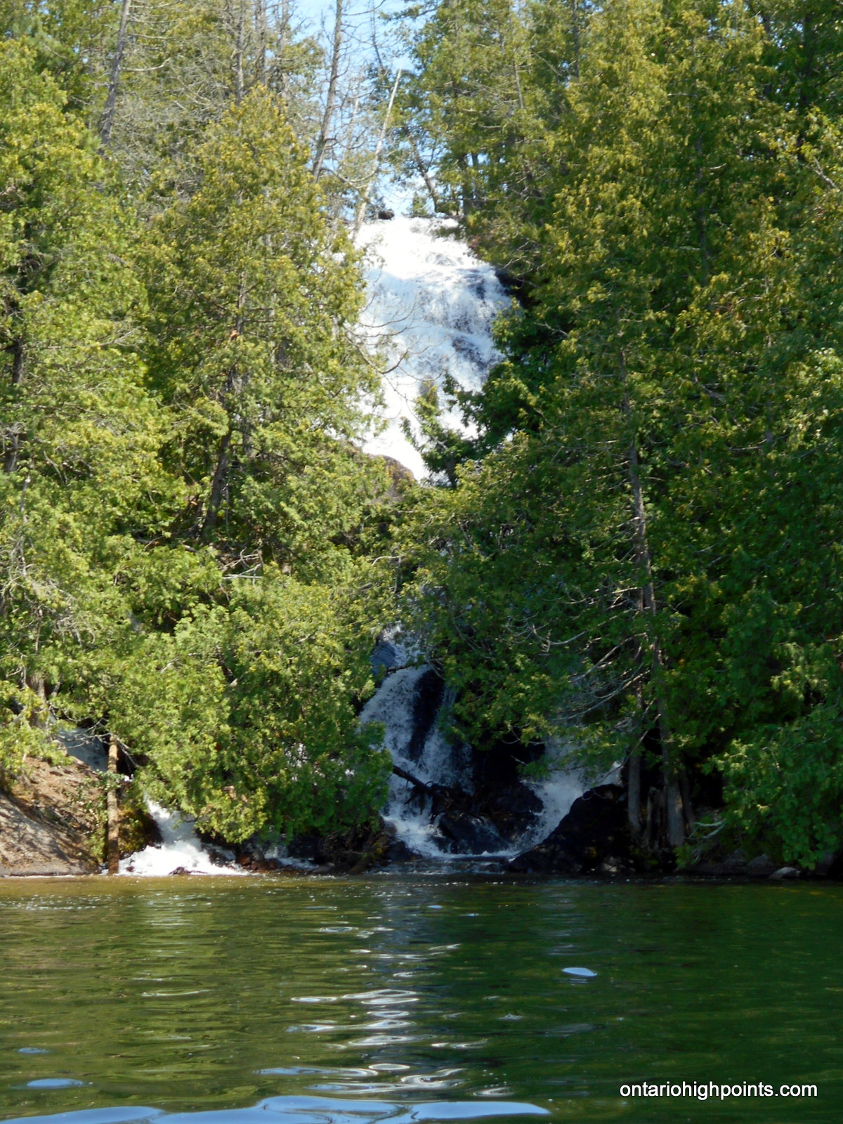
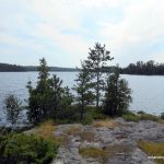
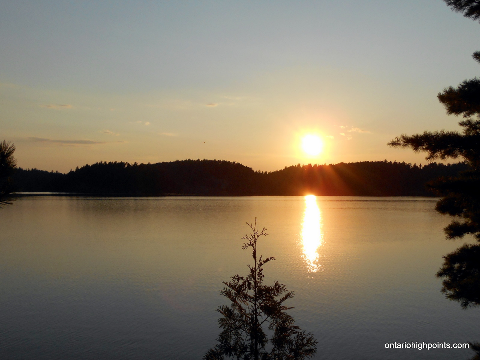
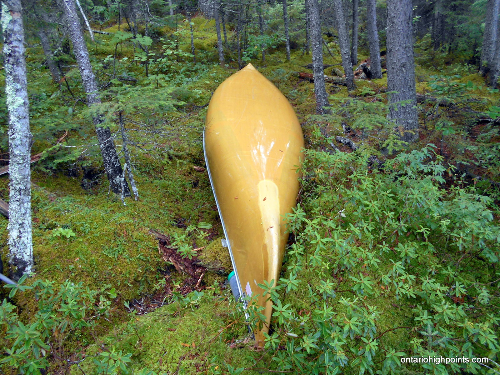
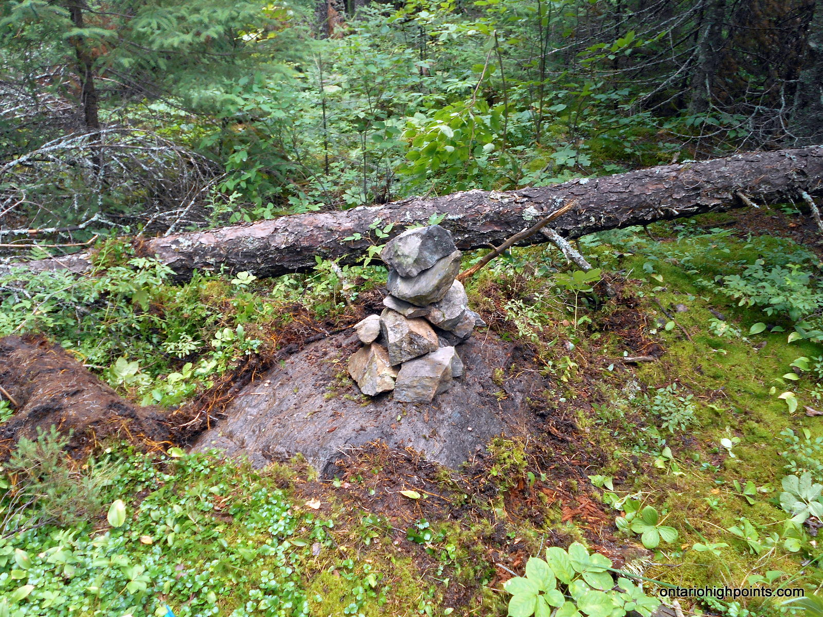
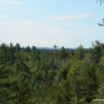
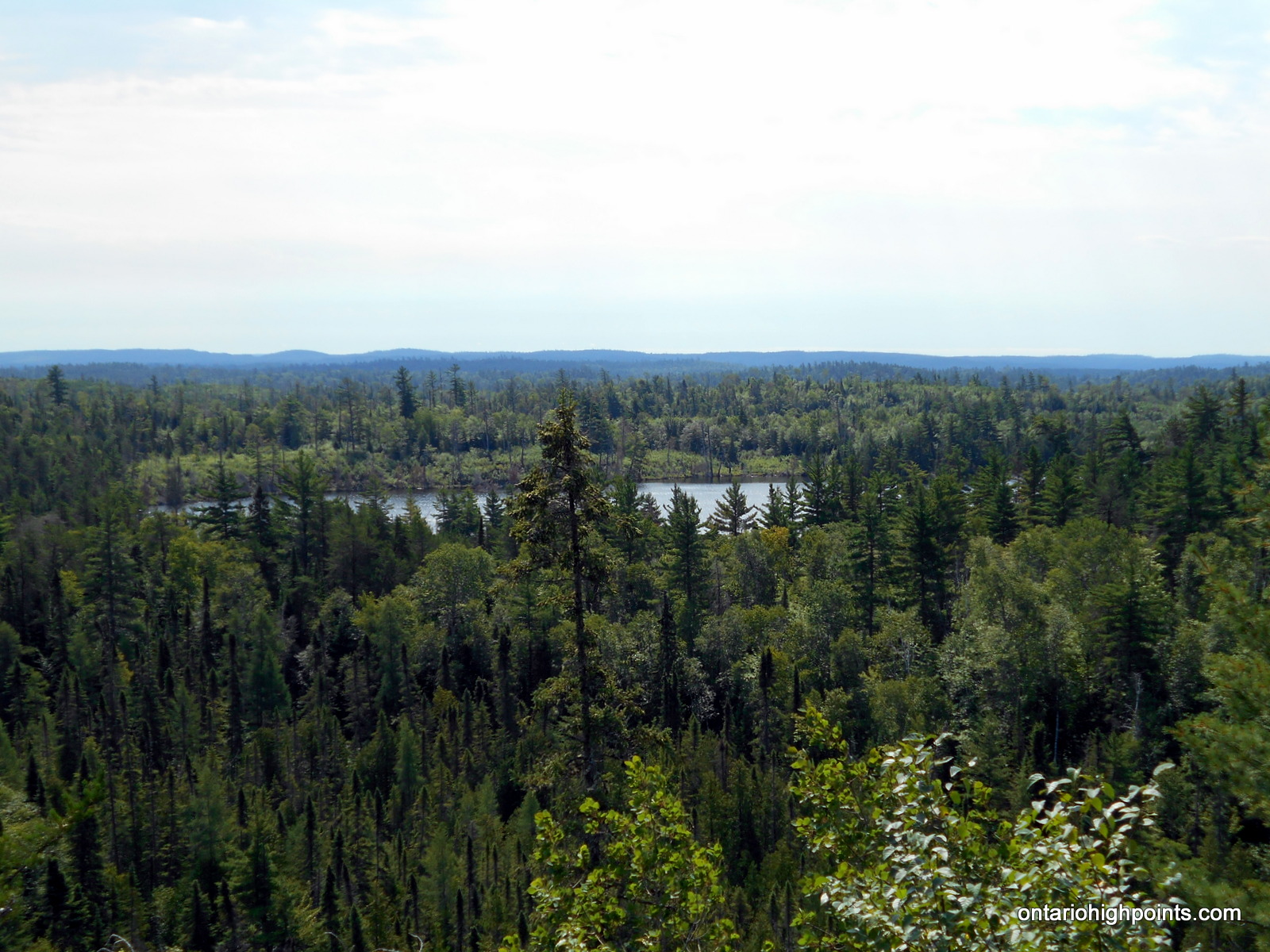
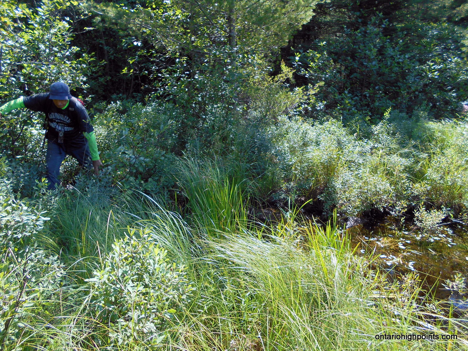
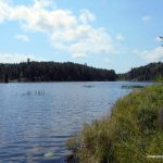
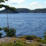
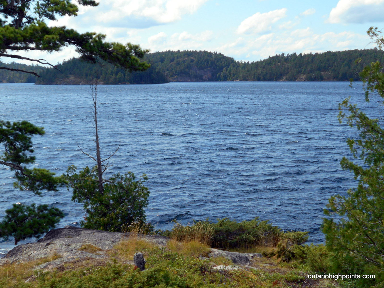
Rainy River District High Point visible between the trees
Height: 1785 feet / 544 meters
This is the elevation at the spot height. The elevation at the highest point was found to be significantly higher
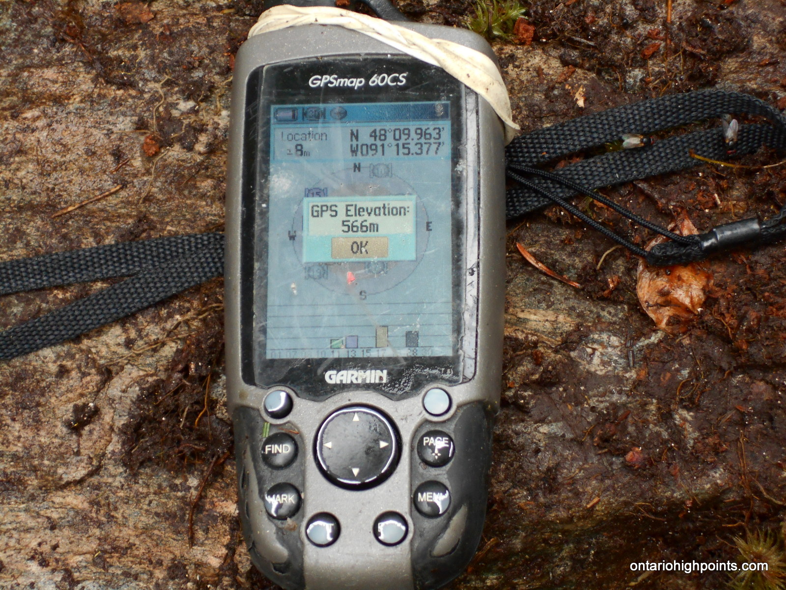
GPS recorded height: 1857 feet / 566 meters
Lat/Lon: N48 09.967 W91 15.364
Date Summited: August 4, 2016
Overview:
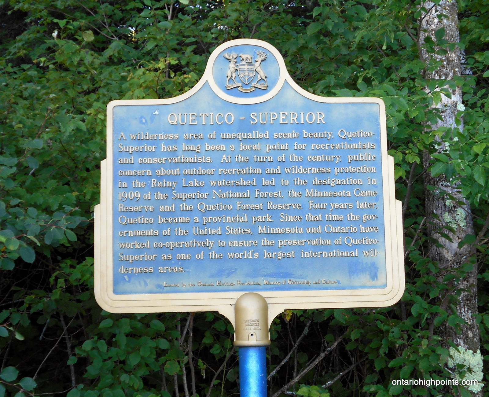
The Rainy River District High Point is located 7 km north of the Minnesota-Ontario border in Quetico Provincial Park. Only accessible by canoe, the shortest route to the peak is from Minnesota’s Boundary Waters Canoe Area via the backcountry border crossing/ranger station at Prairie Portage. Permits are both required for the remote border crossing and to enter Quetico Provincial Park.
Directions:
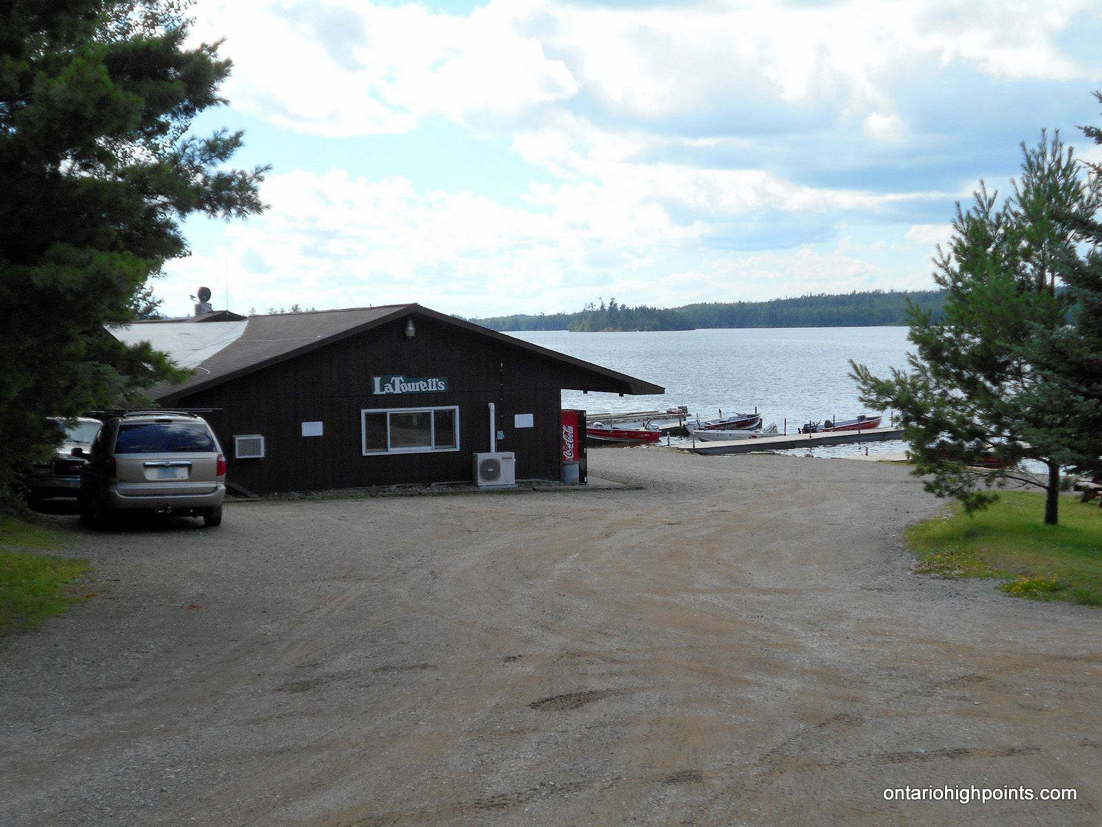
Make your way to Ely, Minnesota. Once arriving in Ely take the main street of Ely (Sheridan Street) NE out of town. This is Highway 169, which will become County Road 18, better known as the Fernberg Road. Drive northeast for approximately 18 miles until you come to Moose Lake Road. Take a left onto the Moose Lake Road and follow this road approximately 3 miles to the end of the road where you will see signs for the various outfitters in the area, including LaTourell’s Moose Lake Resort and Outfitters.
From Moose Lake it is a 11 km paddle/shuttle ride northeast, through a chain of lakes: Moose, Newfound and Sucker Lake to Prairie Portage. If you decide to canoe from Moose Lake to Prairie Portage, you will require a Boundary Waters Canoe Area day permit. If you decide to take a water taxi to Prairie Portage from one of the local outfitters, you won’t require one.
Prairie Portage is situated at the Canada-USA border, and is the entry point into Quetico Provincial Park. In order to cross into Canada and Quetico Provincial Park, you will require 2 permits, which have to be requested in advance. The first is the Remote Area Border Crossing (RABC) Permit, which can be requested by mail from the Canadian Government or by picking one up at a Canada Border Services Agency office (Rainy River, Pigeon River, Sault Ste. Marie). The second permit is the Quetico backcountry entry point permit, which can be booked and purchased on the Ontario Parks Online reservation system. Note: the entry point permit is not a backcountry permit, it’s only a reservation to enter Quetico Provincial Park at the specified entry point and date.
At Prairie Portage, complete the short 160 meter portage and then check in at the Ranger Station and purchase your backcountry passes (rates are per person per night in the park). The park office opens at 7:45 AM.
Once you’ve obtained your permits, set off on Basswood Lake. As Basswood Lake is biggest lake on the trip, be cautioned that wind and waves can be an issue. There are 2 route options: 1) you can paddle to Sunday Bay and take the longer and more rugged North Portage (640 meters) to Sunday Lake, or 2) you can paddle further west to the shorter and easier portage (430 meters) to Burke Lake, but then you will have to cross a second short (90 meters) portage from Burke Lake to Sunday Lake and paddle an extra 1.5 km.
After paddling (4.3-5.7 km, depending on which portage you take) to the east end of Sunday Lake, you’ll be greeted with the 2 long ‘Meadows Lake’ Portages. The first is 960 meters from Sunday Lake to Meadows Lake, and after a brief paddle on Meadows Lake, you’ll arrive at the 525 meter portage to Agnes Lake.
It’s a short 1.5 km paddle across Agnes Lake to Louisa Falls. The portage around Louisa Falls is short, but steep. At the top of the falls, you’ll paddle east along the creek that feeds the falls to a second short portage that will bring you to Louisa Lake.
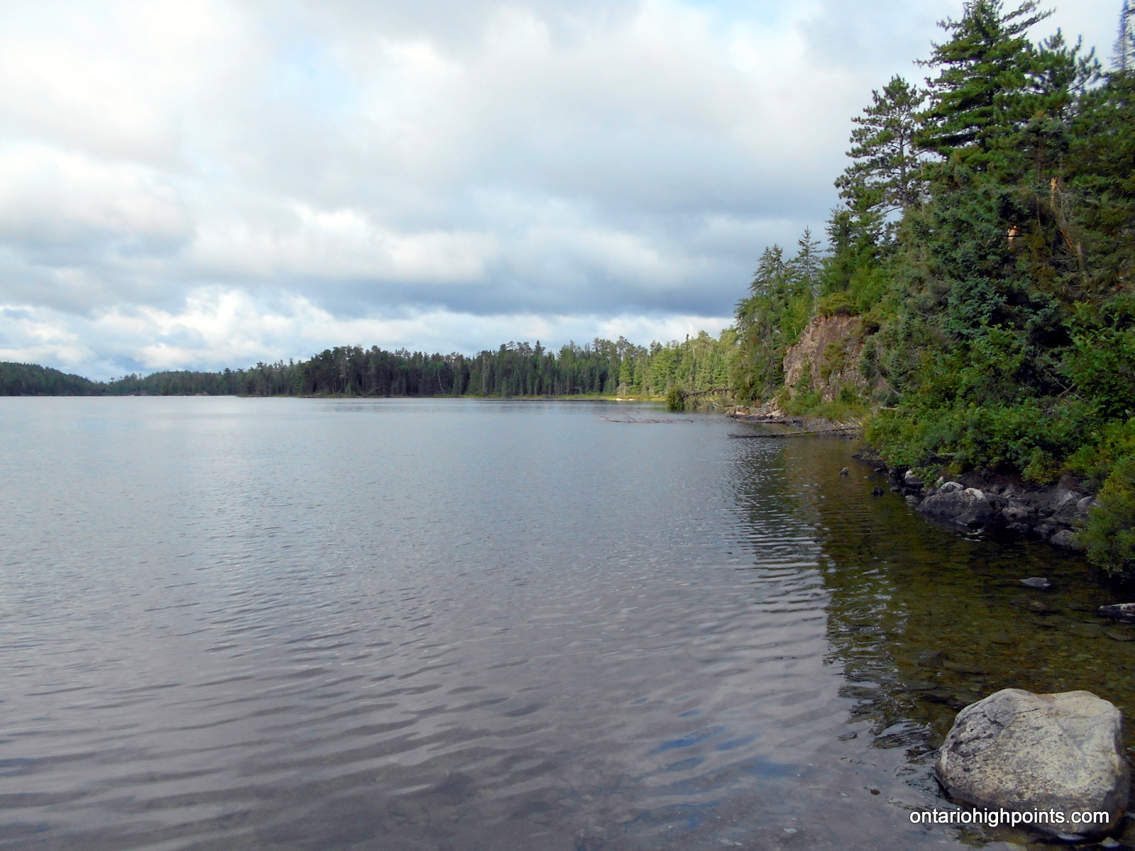
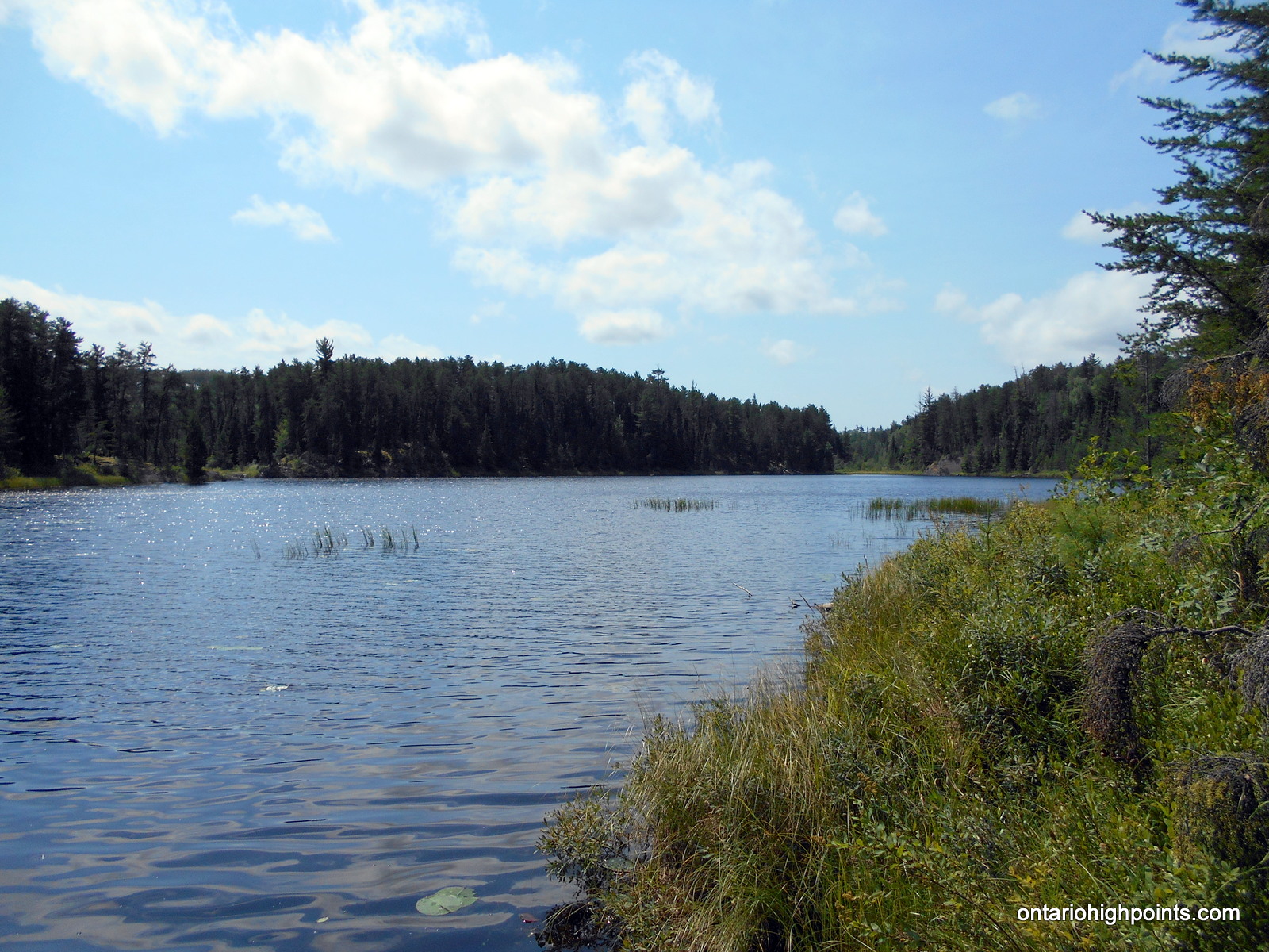
Louisa Lake is a long (9 km) southwest – northeast aligned lake. This lake can be rough on windy days. There are a few campsites on the lake. One of the prime campsites is on the large island about halfway down the lake.
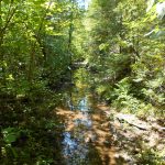
The closest approach to the Rainy River District High Point is from the far northeast arm of Louisa Lake. There isn’t a very good spot to land the canoe, but the shoreline a few meters west of a creek (at N48 10.500 W91 15.962) on the south shore is the best place to begin the bushwhack. From the landing, bushwhack south, ascending moderately, to a large pond. Turn east, cross a small creek and proceed to the north edge of a marsh. The best place to cross this marsh is at N48 10.280 W91 15.470. After crossing the marsh, bushwhack south, ascending moderately to the summit (at N48 09.967 W91 15.364). Note: The true summit is 130 meters southeast of the Ontario Base Map spot height.
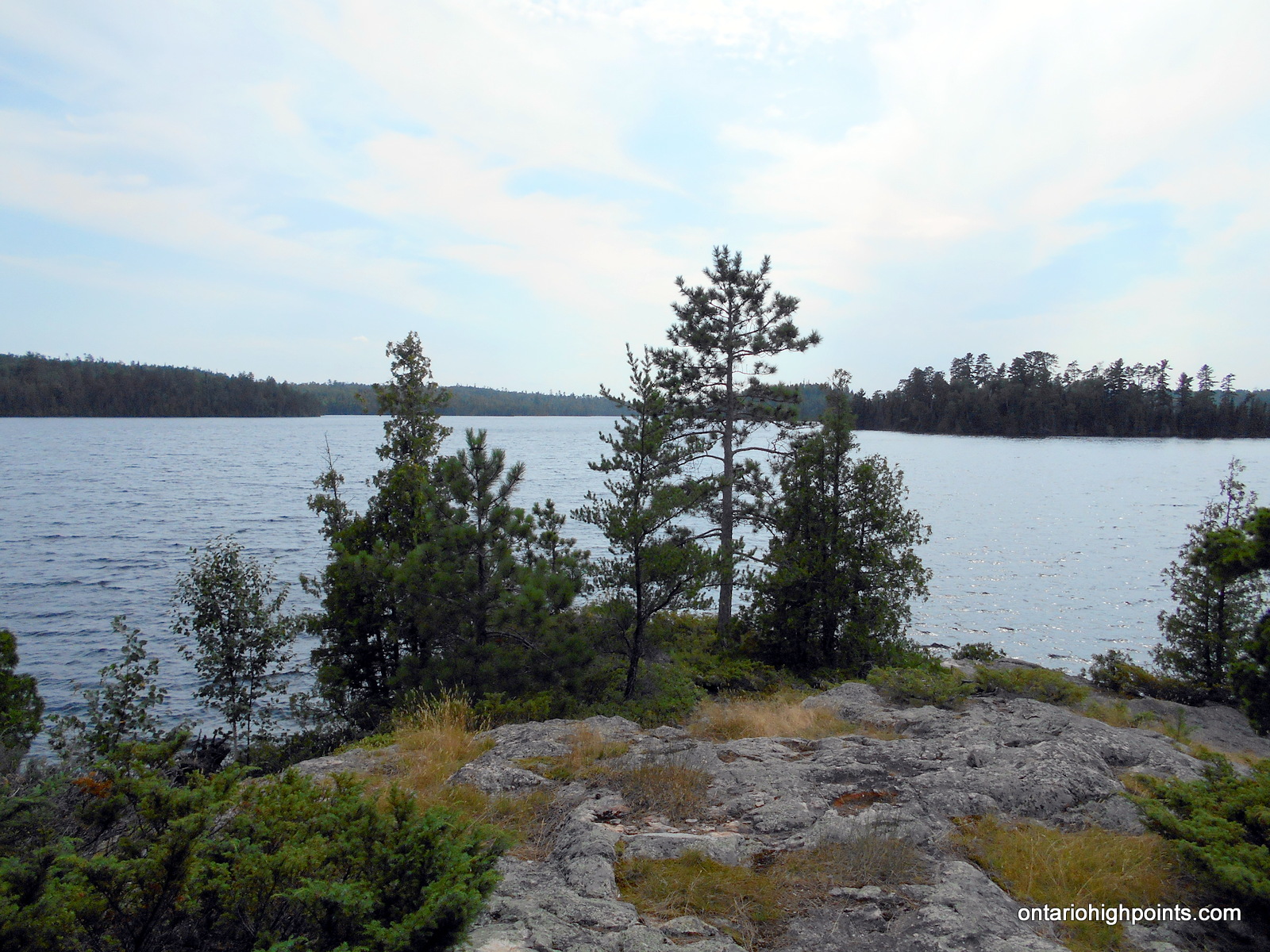
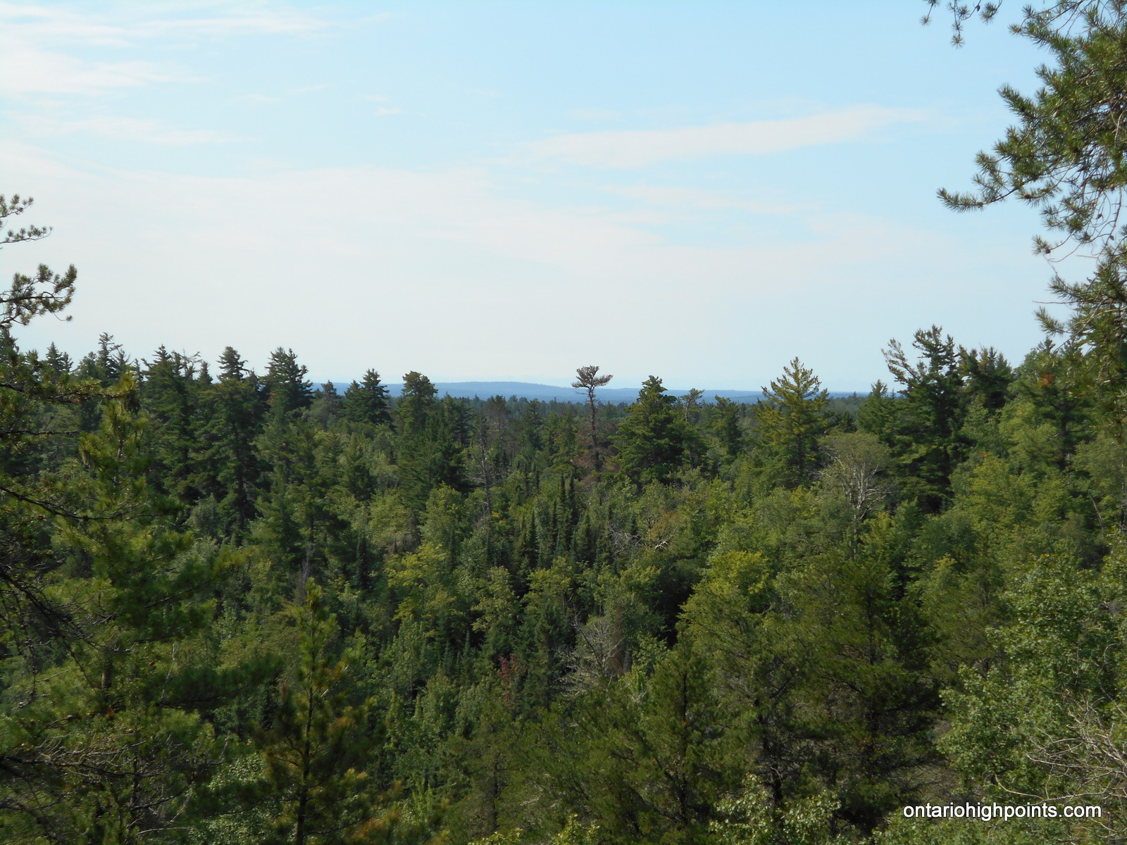
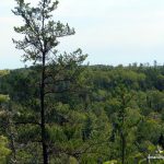
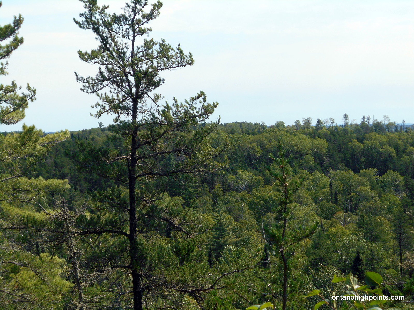
There’s no views at the summit, however there is a view point at N48 09.932 W91 15.290 at the southeast edge of the summit ridgeline.
Note: Upon re-entry back into the United States, you must check in at the Customs/Border Office in Ely.
View a larger version of the map
Trip Summary:
(Times in Central Daylight Time)
Day 1 – August 3rd, 2016
00.0 km – Departed LaTourell’s on water taxi (6:20 AM)
10.9 km – Arrived at Prairie Portage (6:42 AM)
00.0 km – Departed Prairie Portage (8:15 AM)
05.0 km – Arrived at North Portage, portage to Sunday Lake (9:11 AM)
05.7 km – Finished portage, set out on Sunday Lake (10:05 AM)
11.2 km – Arrived at portage to Meadows Lake (11:01 AM)
12.2 km – Finished portage, set out on Meadows Lake (12:05 PM)
12.5 km – Arrived at portage to Agnes Lake (12:11 PM)
13.0 km – Finished portage, started paddle onto Agnes Lake (12:47 PM)
14.5 km – Arrived at Louisa Falls, 1st portage to Louisa Lake (1:07 PM)
14.5 km – Started paddle onto small creek (1:20 PM)
14.7 km – Arrived at 2nd portage to Louisa Lake (1:26 PM)
14.8 km – Started paddle onto Louisa Lake (1:40 PM)
19.6 km – Arrived at island campsite (2:30 PM)
Day 2 – August 4th, 2016
00.0 km – Departed island campsite (7:53 AM)
04.7 km – Finished paddle to north arm. Start of bushwhack (8:40 AM)
04.7 km – Began the bushwhack to Rainy River District HP (9:00 AM)
05.2 km – First (small) creek crossing (9:21 AM)
05.6 km – Second creek/marsh crossing (9:50 AM)
06.3 km – Arrived at the summit of Rainy River Distrct HP (10:27 AM)
06.9 km – Departed summit (11:35 AM)
07.6 km – Back at creek/marsh crossing (12:07 PM)
08.0 km – Creek crossing (12:24 PM)
08.7 km – Back at Louisa Lake (12:45 PM)
08.7 km – Started paddle back on Louisa Lake (1:08 PM)
13.5 km – Arrived back at island campsite (2:30 PM)
Day 3 – August 5th, 2016
00.0 km – Departed island campsite (6:10 AM)
04.6 km – Arrived at portage to Agnes Lake (6:58 AM)
05.0 km – Finished portage, started paddle onto Agnes Lake (7:30 AM)
06.4 km – Arrived at portage to Meadows Lake (7:45 AM)
07.0 km – Finished portage, set out on Meadows Lake (8:15 AM)
07.3 km – Arrived at portage to Sunday Lake (8:21 AM)
08.2 km – Finished portage, set out on Sunday Lake (9:20 AM)
13.8 km – Arrived at North Portage, portage to Basswood Lake (10:30 AM)
14.5 km – Finished portage, set out on Basswood Lake (11:25 AM)
19.3 km – Arrived at Prairie Portage (12:20 PM)
00.0 km – Departed Prairie Portage on water taxi (2:05 PM)
10.9 km – Arrived back at LaTourell’s @ Moose Lake (2:30 PM)
Gallery:
-
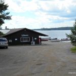
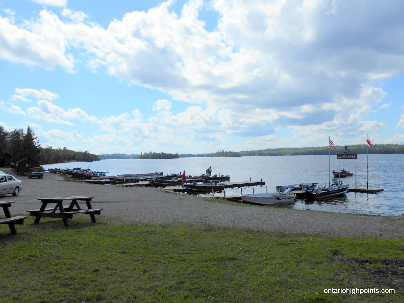
- LaTourell’s Moose Lake Outfitters
-
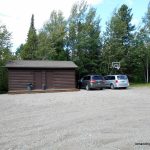
- Our bunkhouse accomodation for the night
-
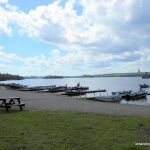
- LaTourell’s fleet
-
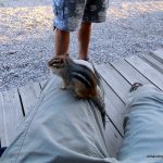
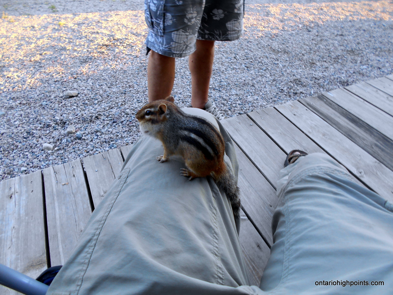
- Friendly locals
-
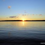
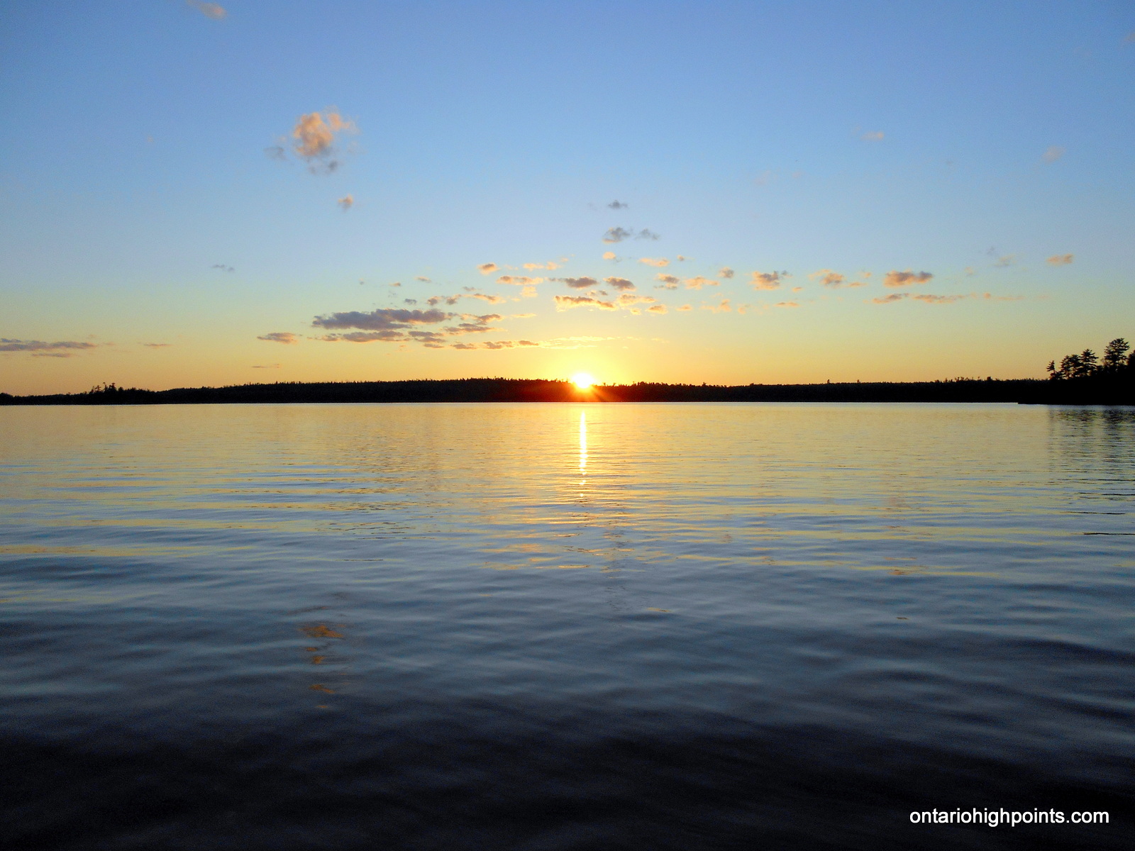
- Sunset on Moose Lake
-
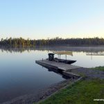
- Preparing for departure on the water taxi
-
- Speeding away in our water taxi

-
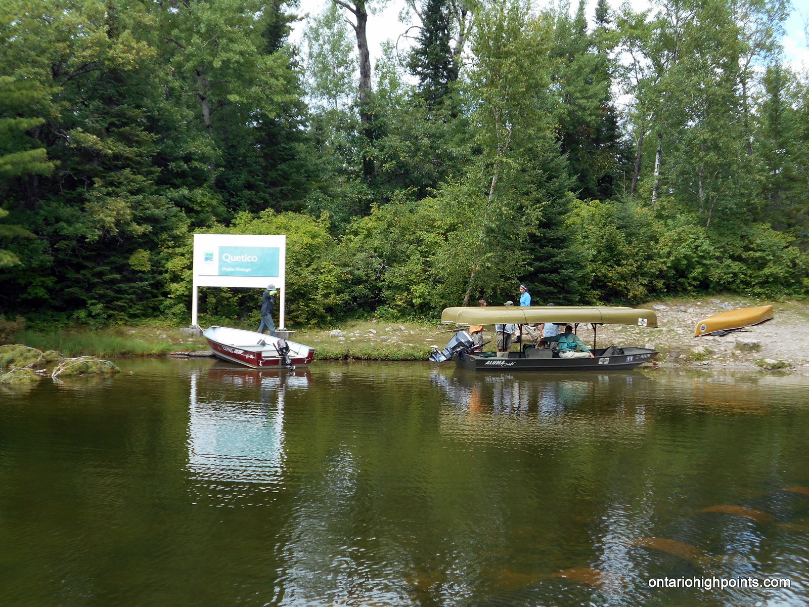
- Arriving at Prairie Portage and the Canadian border
-
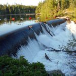
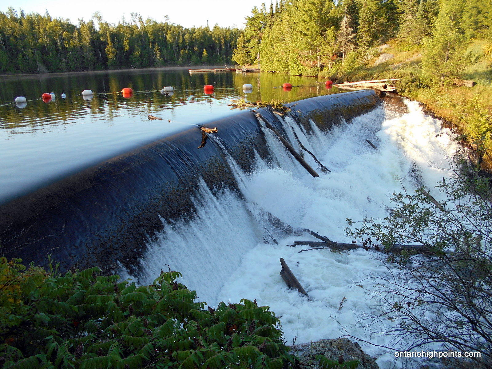
- Dam at Prairie Portage
-
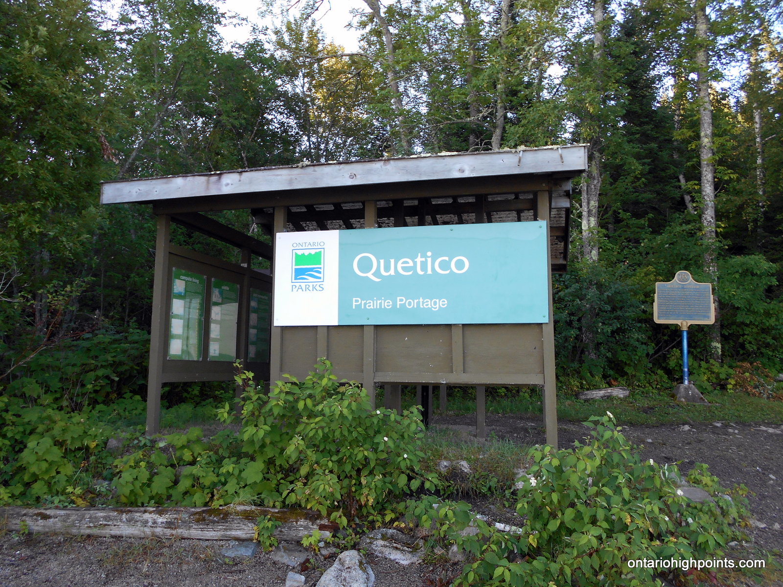
- Quetico heritage sign
-
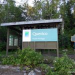
- Quetico Provincial Park Kiosk
-
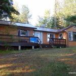
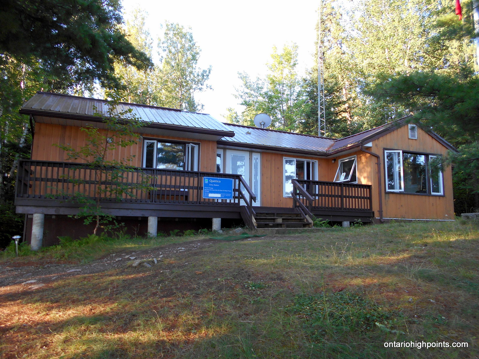
- Ranger station at Prairie Portage
-
- Canoe set to go on the shore of Basswood Lake
-
- At the end of ‘North Portage’ to Sunday Lake
-
- Meadows Lake
-
- Flooded portage from Meadow Lake to Agnes Lake
-
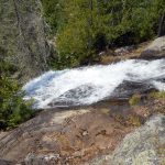
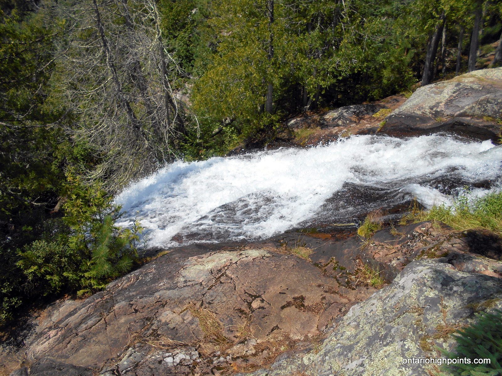
- Louisa Falls at Agnes Lake
-
- At the top of Louisa Falls
-
- View from our campsite on Louisa Lake
-
- Our campsite on Louisa Lake
-

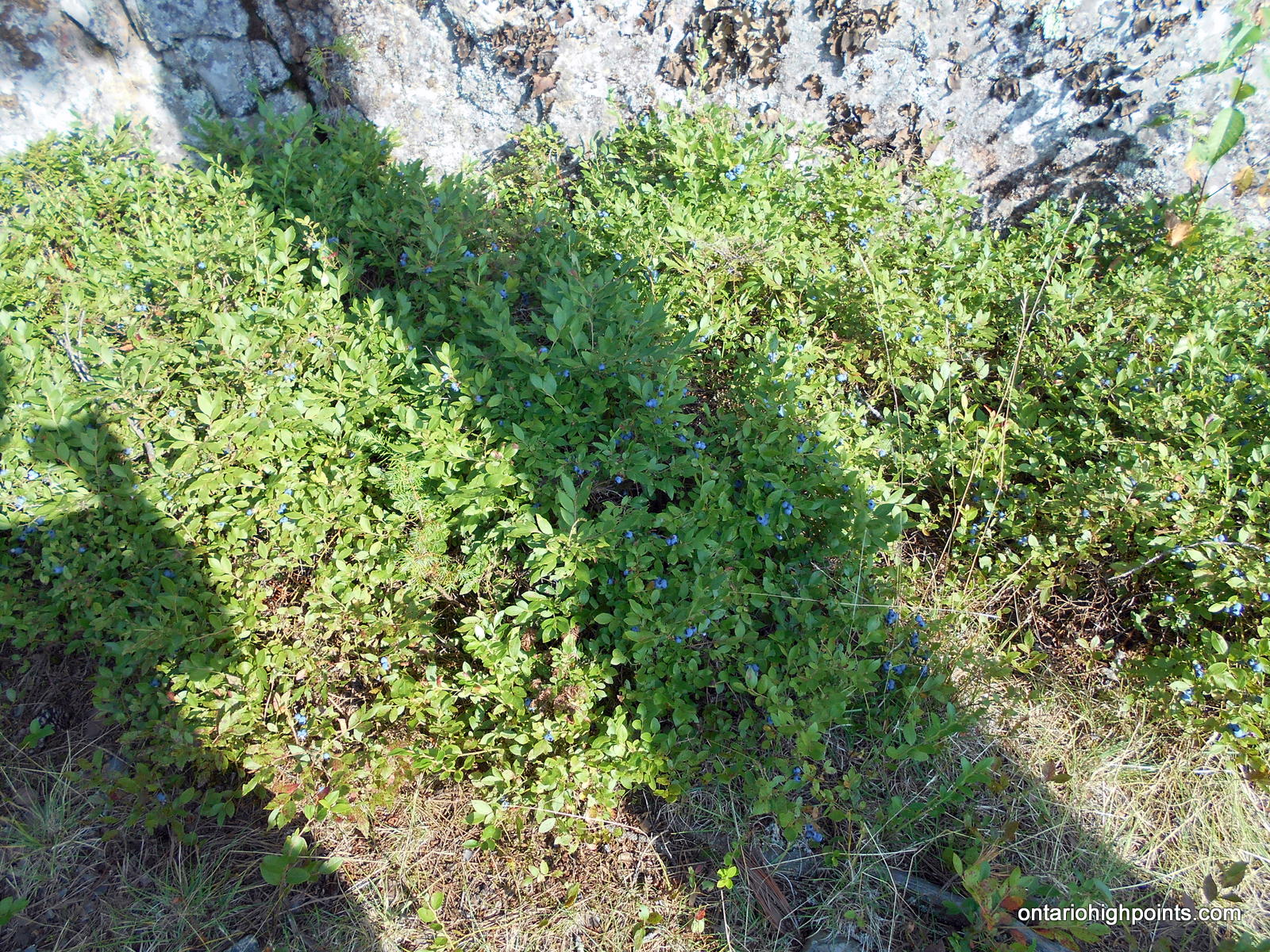
- Abundant blueberries at our campsite
-
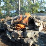
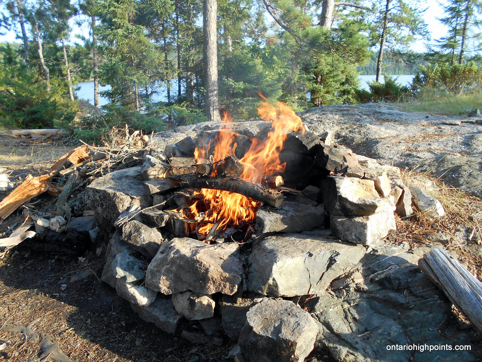
- Campfire
-
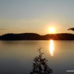
- Sunset on Louisa Lake
-
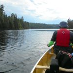
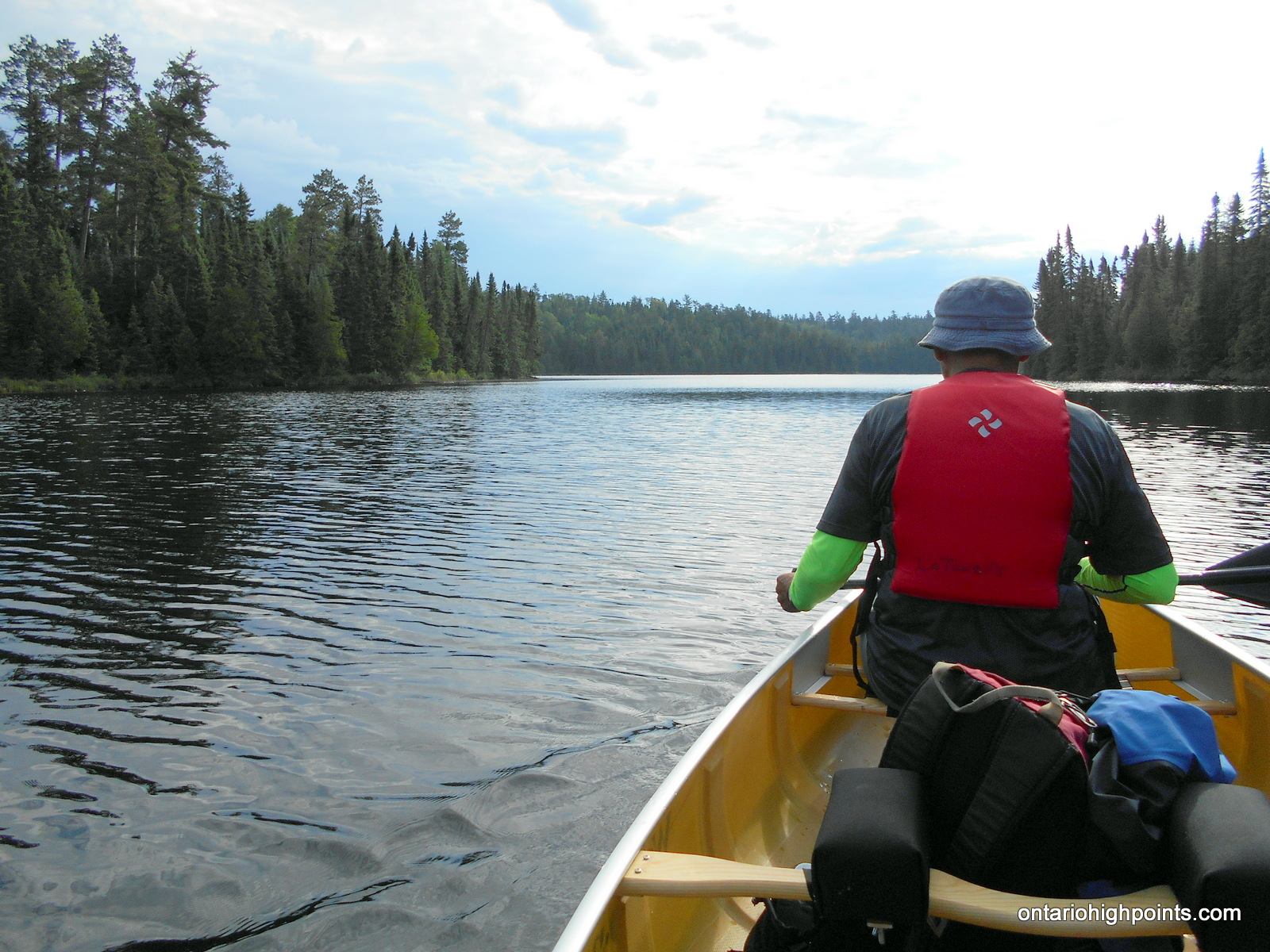
- Paddling along the northeast arm of Louisa Lake
-
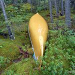
- Canoe brought ashore
-
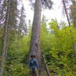
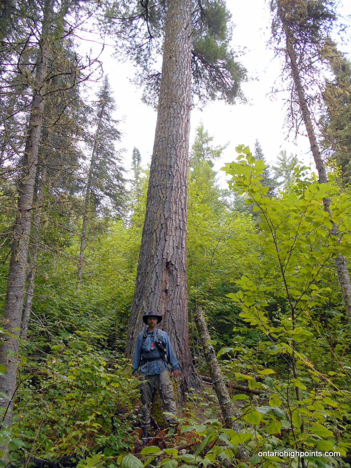
- Giant of the forest
-
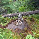
- Highest point on Rainy River District High Point
-
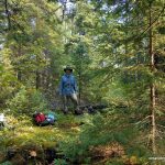
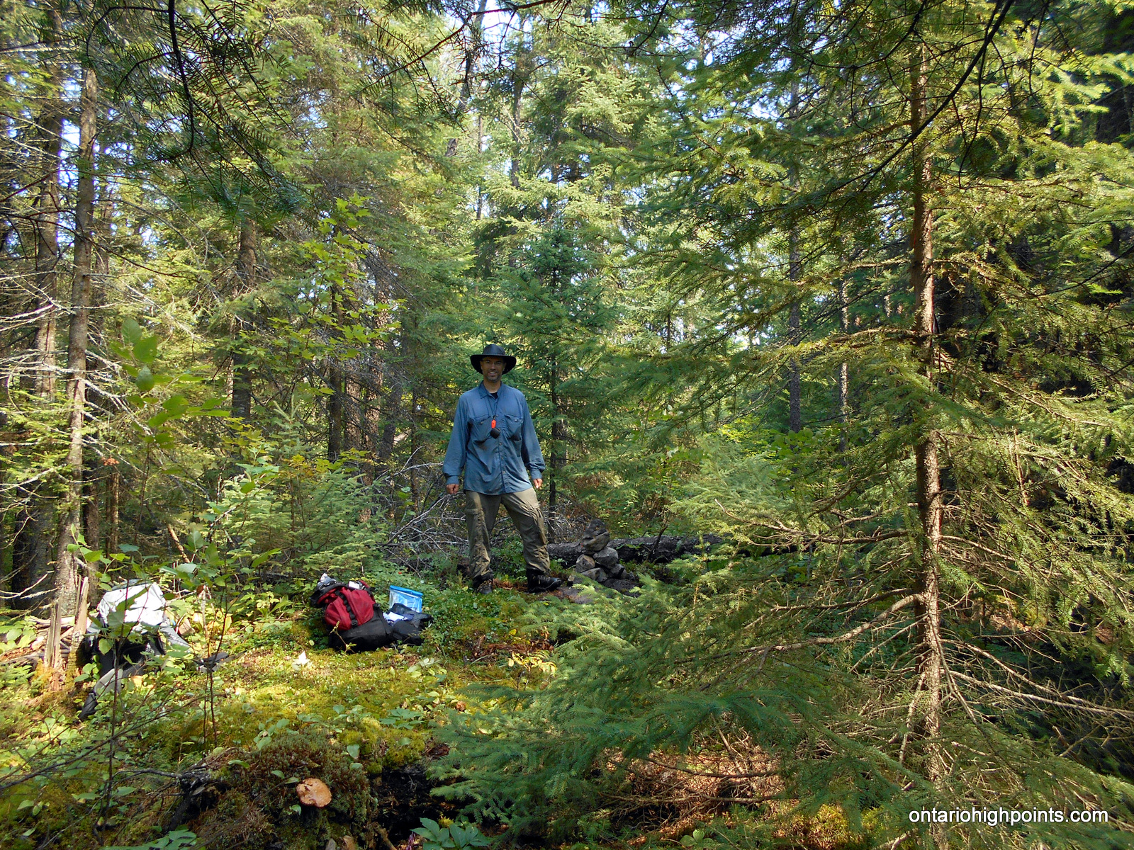
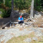
- At the summit
-
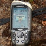
- GPS Elevation at the summit
-
- View from near the summit
-
- View from viewpoint southeast of the summit
-
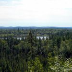
- View east to the lower 2nd Candidate HP
-
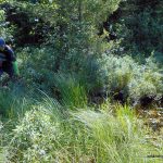
- Ben crossing the marsh at it’s narrowest point
-
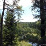
- Rainy River District High Point visible between the trees

-
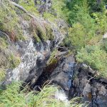
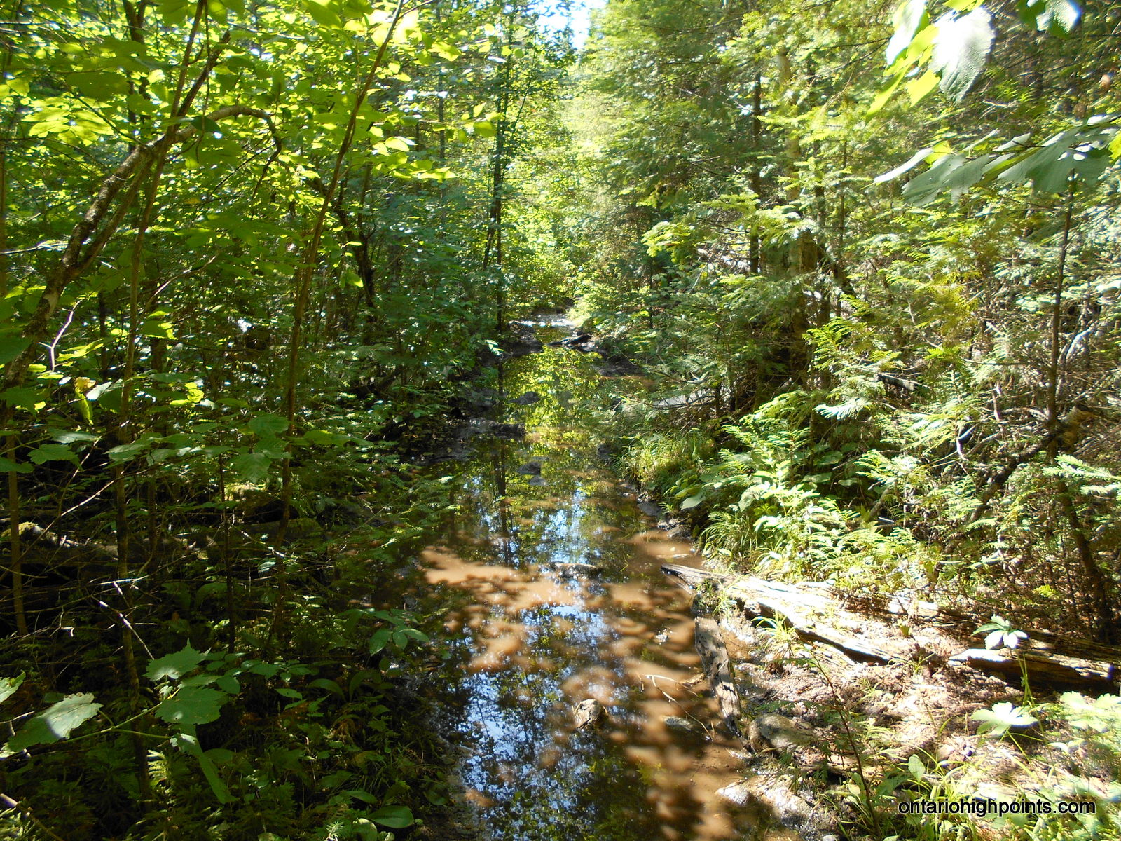
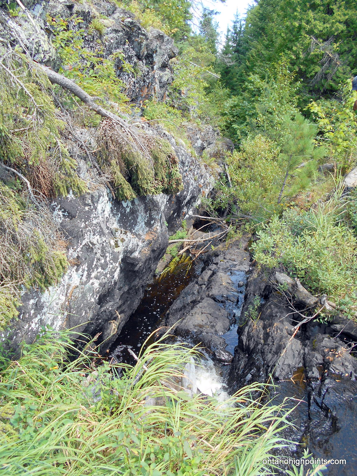
- A small fault – creek crossing #3
-
- Passing a pond on a way back
-
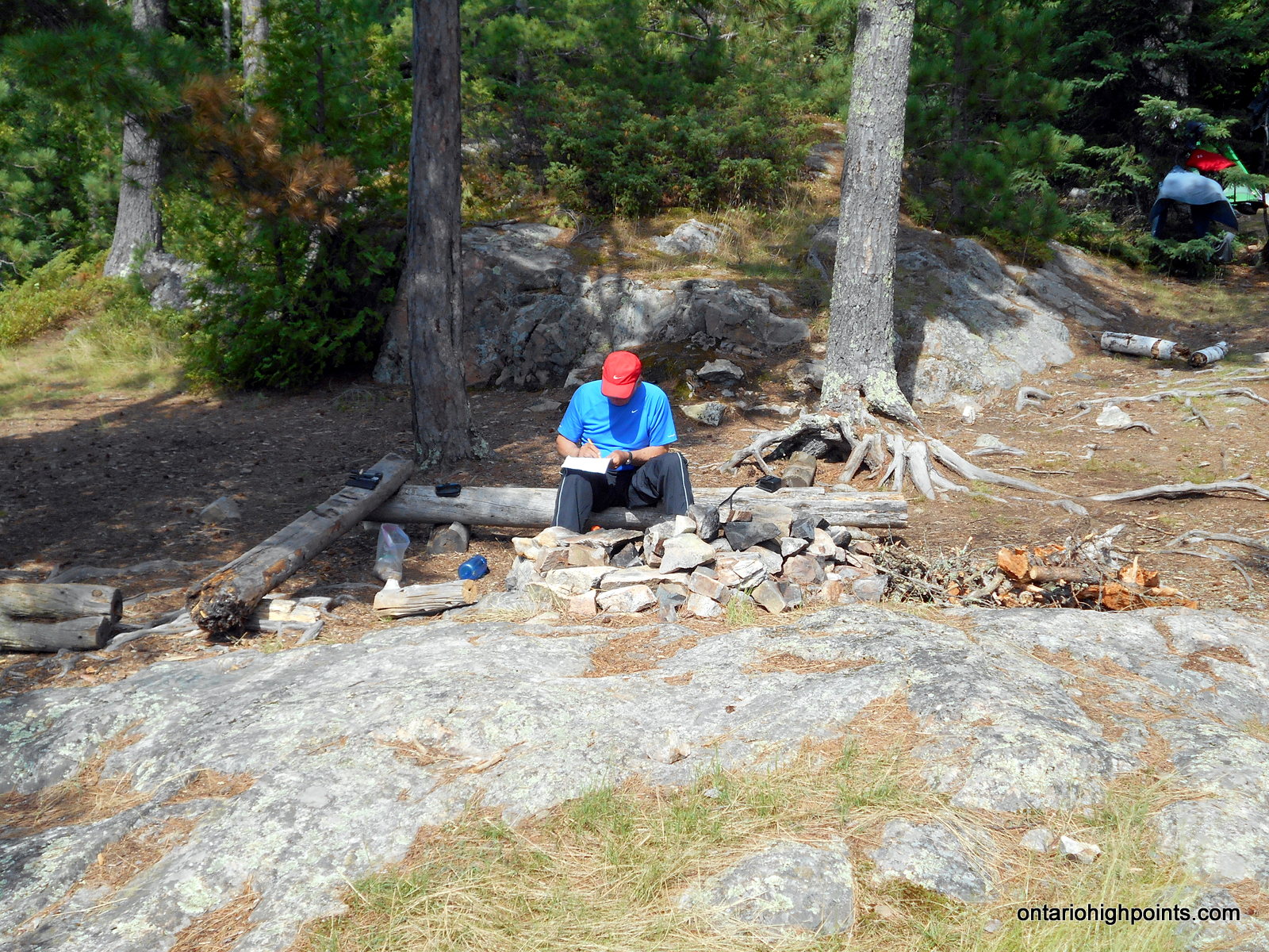
- Back at our campsite logging the day’s activities
-
- Wavy Lake Louisa at our campsite
-
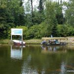
- Canoeists departing Prairie Portage
Videos:
Trip Report:
August 2nd, 2016, Day 0
Day 10 of my Western Ontario peakbagging trip.
Ben and I arrived at LaTourell’s Moose Lake Outfitters a day early after overnighting at Two Island Lake National Park Campground, located between Eagle Mountain and Grand Marais. We were checked in around mid-day by Bob LaTourell (a family business since 1938). He provided the following services: one night in a bunkroom ($20 USD each), Kevlar Canoe rental ($41 USD / day) and water taxi services ($27 USD / per person each way) to Prairie Portage, Canada. We spent a few hours assembling our gear for the 3 day canoe trip and then relaxed for the rest of the day.
August 3rd, 2016, Day 1/3
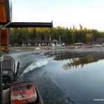
We awoke before sunrise, had a quick breakfast and then moved our gear down to the dock. We left LaTourell’s at 6:30 AM on their water taxi service, captained by Lindsey and arrived at Prairie Portage at 6:50 AM. The Parks office wasn’t open for another hour (not open until 7:45 AM), so we checked out the dam and interpretive display.
At 7:45 AM, we checked in, paid for our backcountry passes (Actually refunded $14 because I had made a $100 deposit when I reserved the entry pass. At $19.00 + HST per person per night, for 2 of us for 2 nights was ~$86 CAD). Carol, the parks staff who checked us in who explained the rules of the park to us. We explained our goal to hike to the high point near Louisa Lake. I was expecting a muted response, but she seemed genuinely interested in our pursuit, and wished us good luck.
We set out at 8:15 AM onto Basswood Lake. Smooth waters and no wind made for easy paddling to the North Portage which Carol said had been improved. The portage wasn’t too rugged, however there were a few muddy and slippery spots. I regretted trying to portage in my crocs and decided that I would change into my boots beforehand for future portages. It was also on this portage that we conceded that we would not be able to move the canoe and gear in one go. We decided to go with the system where the canoe carrier would traverse the entirety of the portage, but the gear carrier would only go half way, drop their load and go back for the rest. The canoe carrier, once reaching the end would drop off the canoe and go back for the gear dropped off half way back. The gear carrier would carry the 2nd (and last) load to the end of the portage.
We arrived at Sunday Lake and continued on calm, smooth waters — paddling 6 km to the east end of the lake. We arrived at the dreaded Meadows Lake portages. The first portage was around 1 km in length and then after a short paddle across the lake, we arrived at the second portage which was about 500 meters. The second Meadows Lake portage was particularly muddy in spots. At the landing to Agnes Lake we ran into a youth camp on their way back to camp after a day trip. We waited for them to clear the landing and then we were on our way — a short 1.5 km trip northeast across Agnes Lake to Louisa Falls.
It was a short but steep ascent up the portage beside the cascading Louisa Falls. A group of ladies were lounging in one of the pools along the falls and youth groups had occupied all the campsites along the portage. The portage trail lead us to the landing at the top of the falls. It was a short paddle up the creek feeding the falls, to a second short portage which led to Louisa Lake.
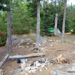
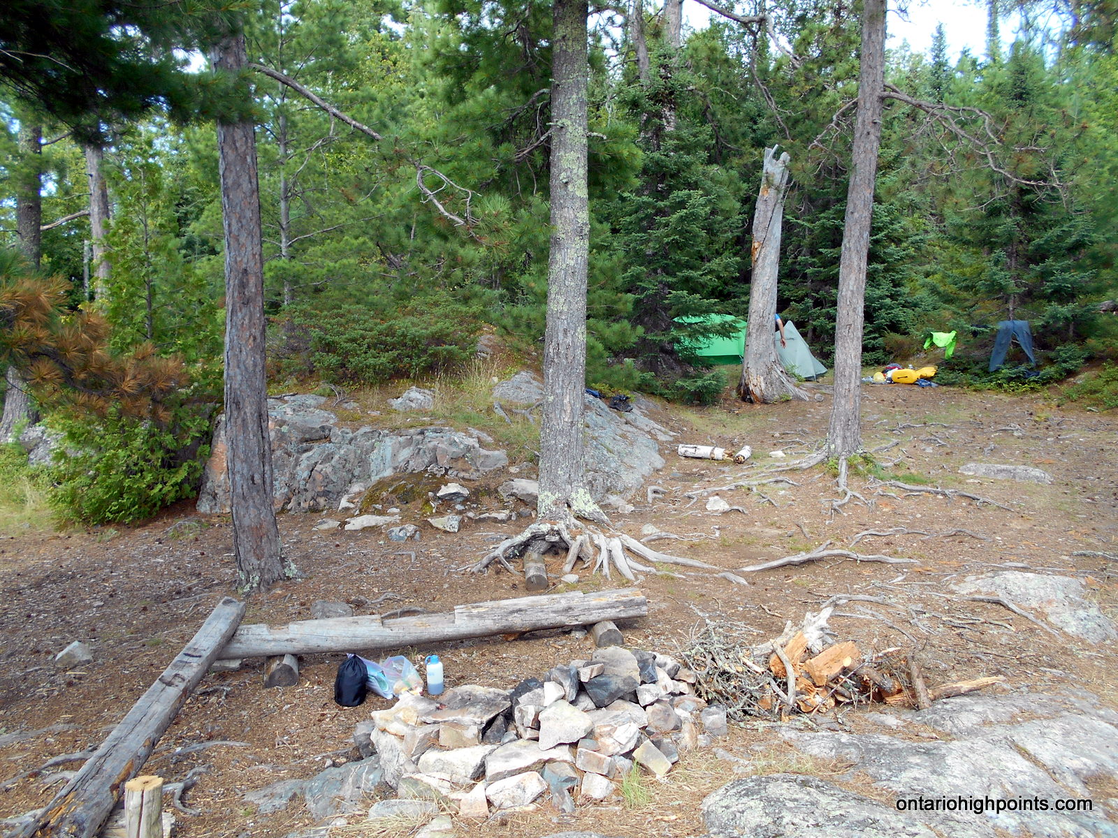
We embarked on Louisa Lake with a little tail wind and made quick travel down the lake to an island campsite about 4 km from the start of the bushwhack to the High Point. Our campsite was a little piece of paradise. Blueberry bushes full of berries dotted the area. A firepit and simple log seats had been built in a small clearing near the tent sites. A previous camper had left some cut wood and kindling beside the firepit. The light winds kept the few bugs away and we set up our tents in a flat area between two small hills. Although a bit hot at times, we had great weather for our first day. We had departed Prairie Portage at 8:15 AM and arrived at the island campsite at 2:30 PM, totalling 6.25 hours for 19.6 km, including 6 portages.
August 4th, 2016, Day 2/3
It rained and thunderstormed during the night and into the early morning. By 8:00 AM, the rain had cleared up so we left the campsite and headed northeast on Louisa Lake.
We traveled along the south shore of the northeast arm of Louisa Lake and found a creek I had identified in the planning stages. There was no place to land here so we turned around and found a place a few meters to the west, where we could step off onto some rocks to land the canoe. After hauling our gear and canoe ashore, we geared up and headed southeast on our bushwhack.
The underbrush wasn’t too thick, but it was wet from the morning rain. We were pretty much soaked after the first 10 minutes of bushwhacking. Our first obstacle was a small creek, but the opposite side was very steep with some rock faces that we had to navigate around to find a way up. We scrambled up the slope and then continued on our way southeast.
We soon arrived at a marsh, which I had anticipated. The marsh had been the main obstacle identified in my planning, but we lucked out and found an easy place to cross. We were soon back to ascending and descending small ridges and then ascended up the final hill to Rainy River District High Point. We found that the spot height as indicated on our OBM Maps was not very close to the actual summit. The actual summit was more than 100 meters away and substantially higher (20+ meters).
After a brief survey of the summit area, we decided upon the highest point and built a cairn to mark the spot. Ben left a log book in a canister on a nearby tree. My GPS indicated that the elevation was over 560 meters, suggesting that perhaps the OBM map makers had missed making a 560 meter contour on their map.
We traveled east along the summit ridge and found a spot which afforded us a panoramic view: from south to northeast. We spotted a secondary candidate high point which we had identified on our maps. Ben determined with his eye level that was lower than the spot we were at, which was lower than the summit, so we opted to skip it.
We turned around and headed back. I decided to try to alter our return route to minimize some of the ups and downs of our ascent — at the expense of lengthening the trip back, by following some of the contours instead of cutting across them. It saved us some energy (and perhaps time) which we would need for the canoe paddle back to the campsite.
When we arrived back at Louisa Lake, we found that the wind had picked up. We encountered a strong headwind paddling back and were unable to take a break. It took us almost 1.5 hours to paddle back, whereas it had only taken us 45 minutes to paddle from the campsite to the trailhead. As we approached our campsite landing, the wind and waves abruptly pushed us towards the rocky shoreline. We both tried to jump out at the same time to catch the canoe and ended up partially tipping the canoe and getting ourselves wet. Oh well, we had arrived in one piece and the canoe was saved. The sun was now shinning and with the strong wind our wet cloths would soon be dry.
August 5th, 2016, Day 3/3
Due to the windy afternoon of the previous day, Ben and I decided that we should get a jump on the day in case it was windy again. It was just before first light when we awoke at 5:00 AM. We broke camp just after 6:00 AM and began our paddle southwest on Louisa Lake. There was a wind coming from northwest, but it wasn’t too strong. We made good progress and arrived at the first of the 2 portages around Louisa Falls. We made quick work of the first portage and made our way onto the 2nd. It was a difficult task descending the steep trail with the canoe, but I made it without mishap.
It was a short paddle across Agnes Lake to the west side, and then onto the first of the 2 long Meadow Lake portages. The first portage was very muddy with a lot of slippery rocks. During this portage, we met a group of guys who had been out for a week of canoeing and fishing. They were heading to Basswood Lake. At the second portage, we met another group who were on their way out as well. They were getting picked up at Prairie Portage at 1:30 PM.
We started out on Sunday Lake. The wind was starting to build and we had to be careful to paddle a course that would keep the bow aimed into the waves. After reaching the west end of Sunday Lake, we turned south and headed to the North Portage, which despite it’s negative reputation, wasn’t too bad. It was here that I texted my wife via my DeLorme InReach Satellite Communicator to have her call LaTourell’s and reschedule our pickup from 4:00 PM to 2:00 PM. After a couple of failed message deliveries, we got communication problems sorted out and our water taxi pick up rescheduled.
We paddled into Basswood Lake. The bay near the North Portage, sheltered us, but once out in the lake, we could see the waves were starting to build — a few whitecaps out in the lake. We turned and with the wind almost at our backs we paddled southeast. Once behind an island, the water was calmer and it was an easy final paddle to Prairie Portage.
We had arrived at 12:30 PM (1.5 hours early), so we had an extended break and checked out the items for sale at the ranger park office. At 1:40 PM, Austin from LaTourell’s arrived with the water taxi. He stowed our gear in the boat and fastened the canoe onto the overhead rack. We were tired from paddling and the previous day’s hike, so we were glad not to have to paddle this section. We set off and the boat made fast work of the 11 km trip back to Moose Lake.
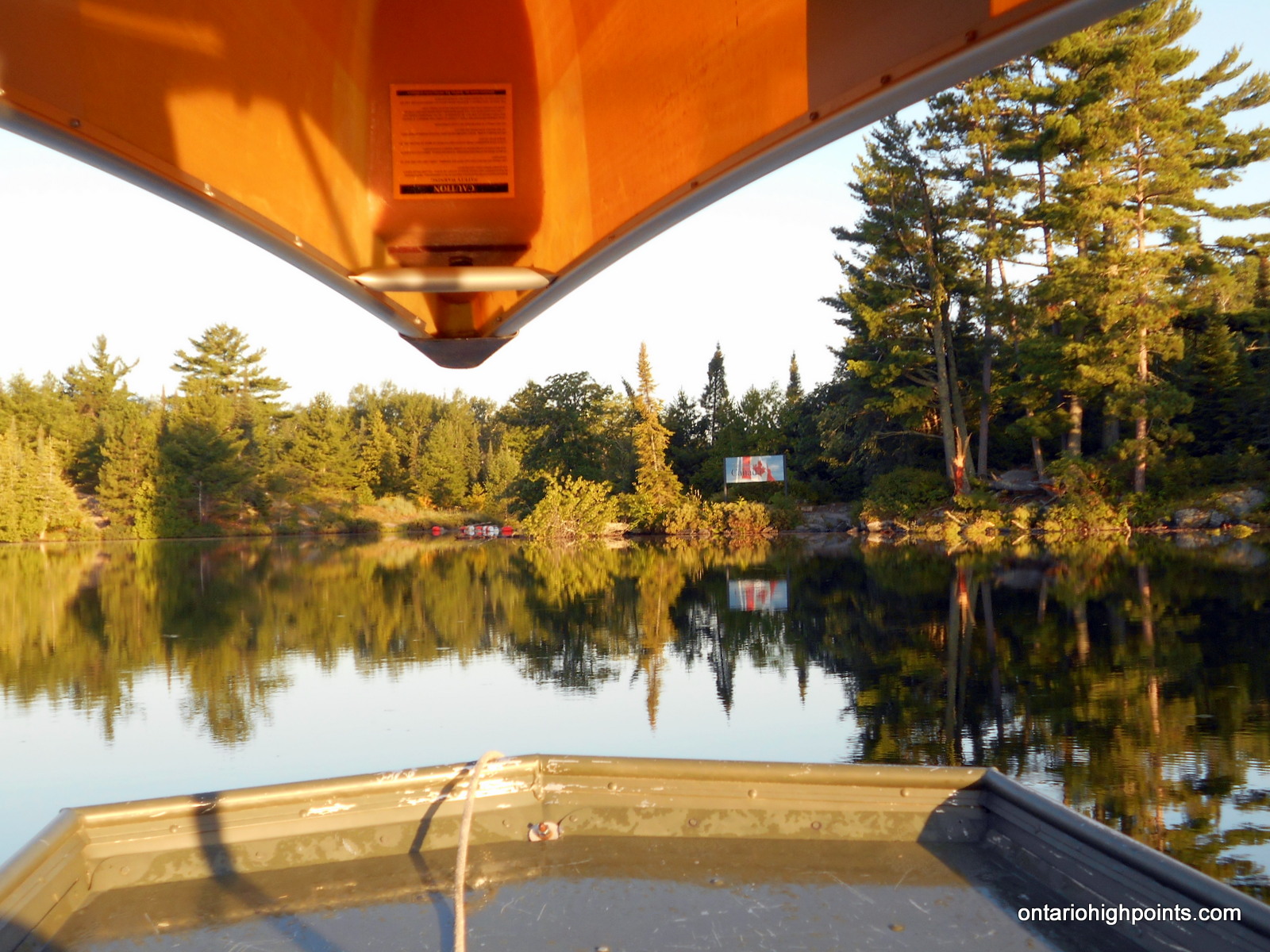
Once back at LaTourell’s, we used the shower facilities to clean up and then headed into Ely. We arrived at the Customs/Border Office just before closing to check in with customs.
As this was the final objective of my Western Ontario Peakbagging trip, Ben and I bid farewell and I started the trip back home. Ben would stay in the area to ‘bag’ more peaks for his Great Lakes High Points list.
GPS Tracklog (GPX Format):
Rainy River District High Point GPS Track
Related Links: