La Cloche Silhouette Trail
Posted by Derek on Nov 26, 2021
Dates Hiked: August 5, 2021 – August 10, 2021
Overview:
The La Cloche Silhouette Trail is a rugged 80 km backpacking trail located in Killarney Provincial Park. This challenging yet rewarding trail passes over white quartzite rock ridges, through valley bottoms and alongside picturesque crystal clear lakes. The trail is named for Group of Seven painter Franklin Carmichael’s painting “La Cloche Silhouette”. The campsites along the trail must be specifically booked in advance through Ontario Parks.
View a larger version of the map
Trip Summary:
Day 1 – August 5, 2021
George Lake to Topaz Lake (H07)
13.2 km – 6h 18m (moving time: 4h 31m)
Total Ascent: 456m / Total Descent: 365m
Day 2 – August 6, 2021
Topaz Lake (H07) to Three Narrows Lake (H21)
19.2 km – 9h 53m (moving time: 7h 45m)
Total Ascent: 552m / Total Descent: 603m
Day 3 – August 7, 2021
Three Narrows Lake (H21) to Little Mountain Lake (H33)
13.4 km – 8h 46m (moving time: 6h 11m)
Total Ascent: 676m / Total Descent: 655m
Day 4 – August 8, 2021
Little Mountain Lake (H33) to Silver Lake (H37)
12.4 km – 5h 51m (moving time: 4h 43m)
Total Ascent: 563m / Total Descent: 476m
Day 5 – August 9, 2021
Silver Lake (H37) to Little Superior Lake (H49)
11.5 km – 6h 36m (moving time: 4h 45m)
Total Ascent: 481m / Total Descent: 511m
Day 6 – August 10, 2021
Little Superior Lake (H49) to George Lake
12.8 km – 5h 37m (moving time: 5h 08m)
Total Ascent: 409m / Total Descent: 511m
Gallery:
Day 1 – George Lake to Topaz Lake (H07):
-
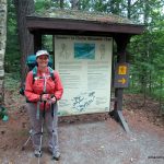
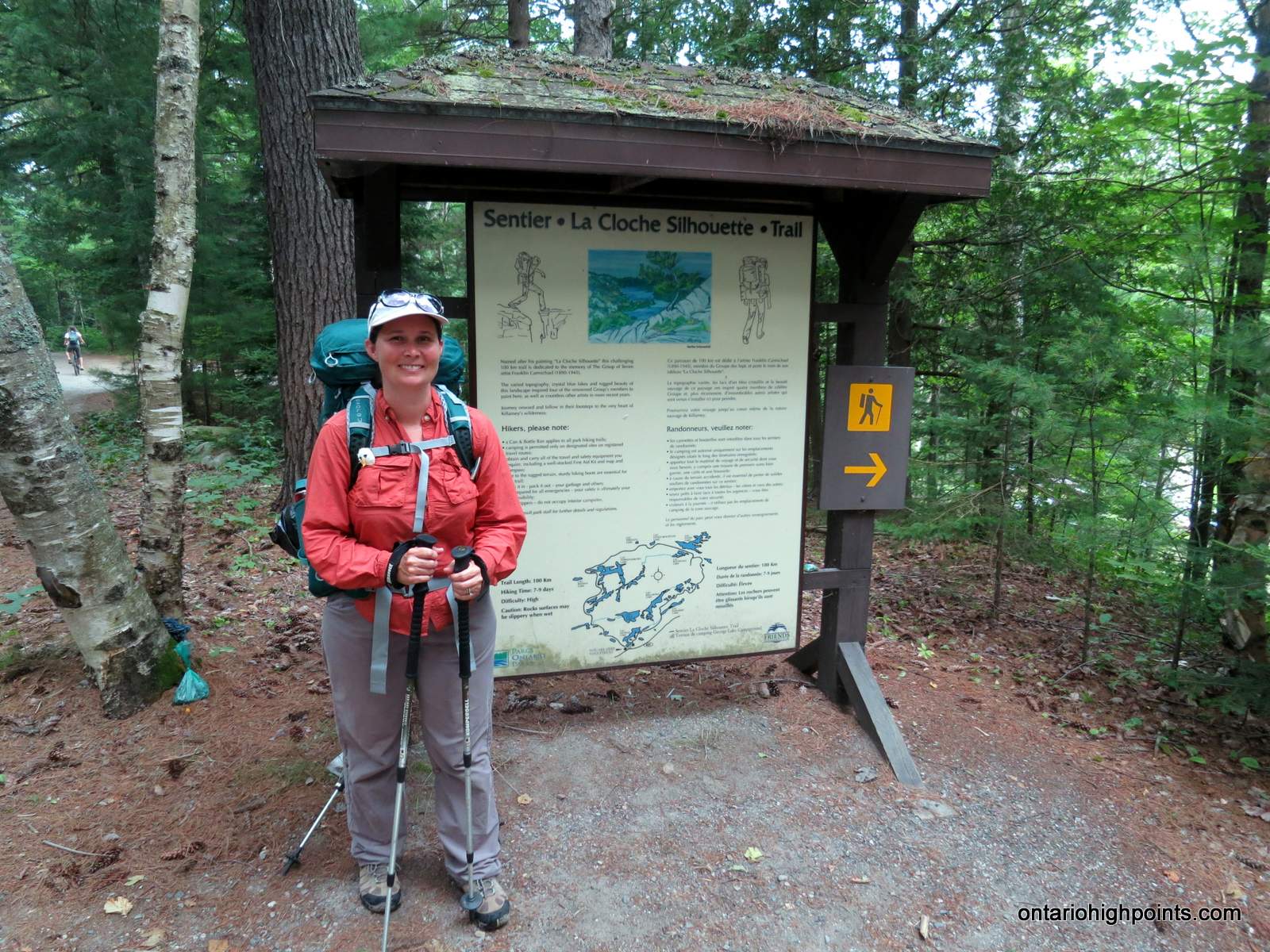
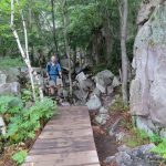
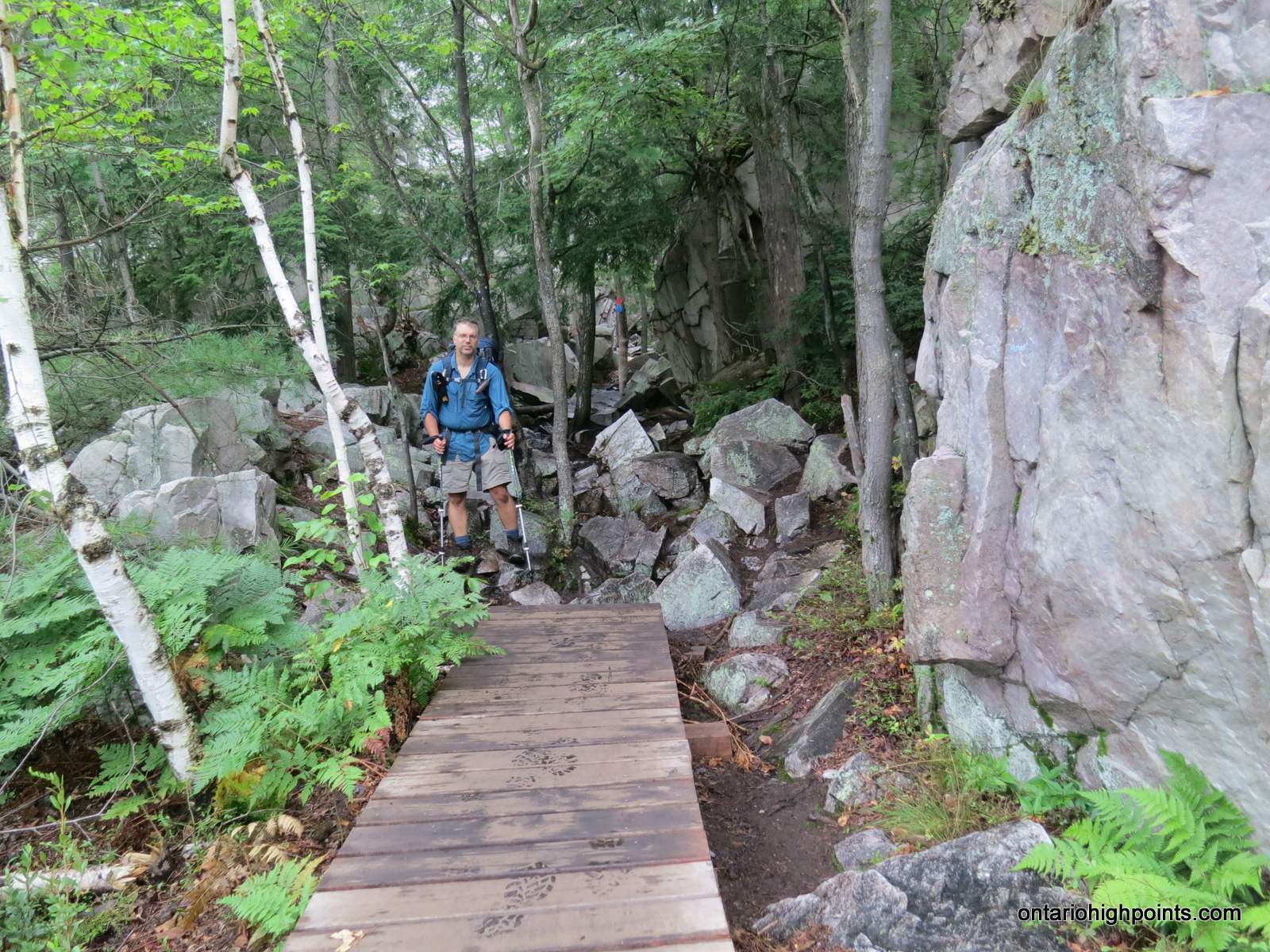
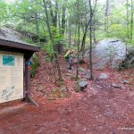
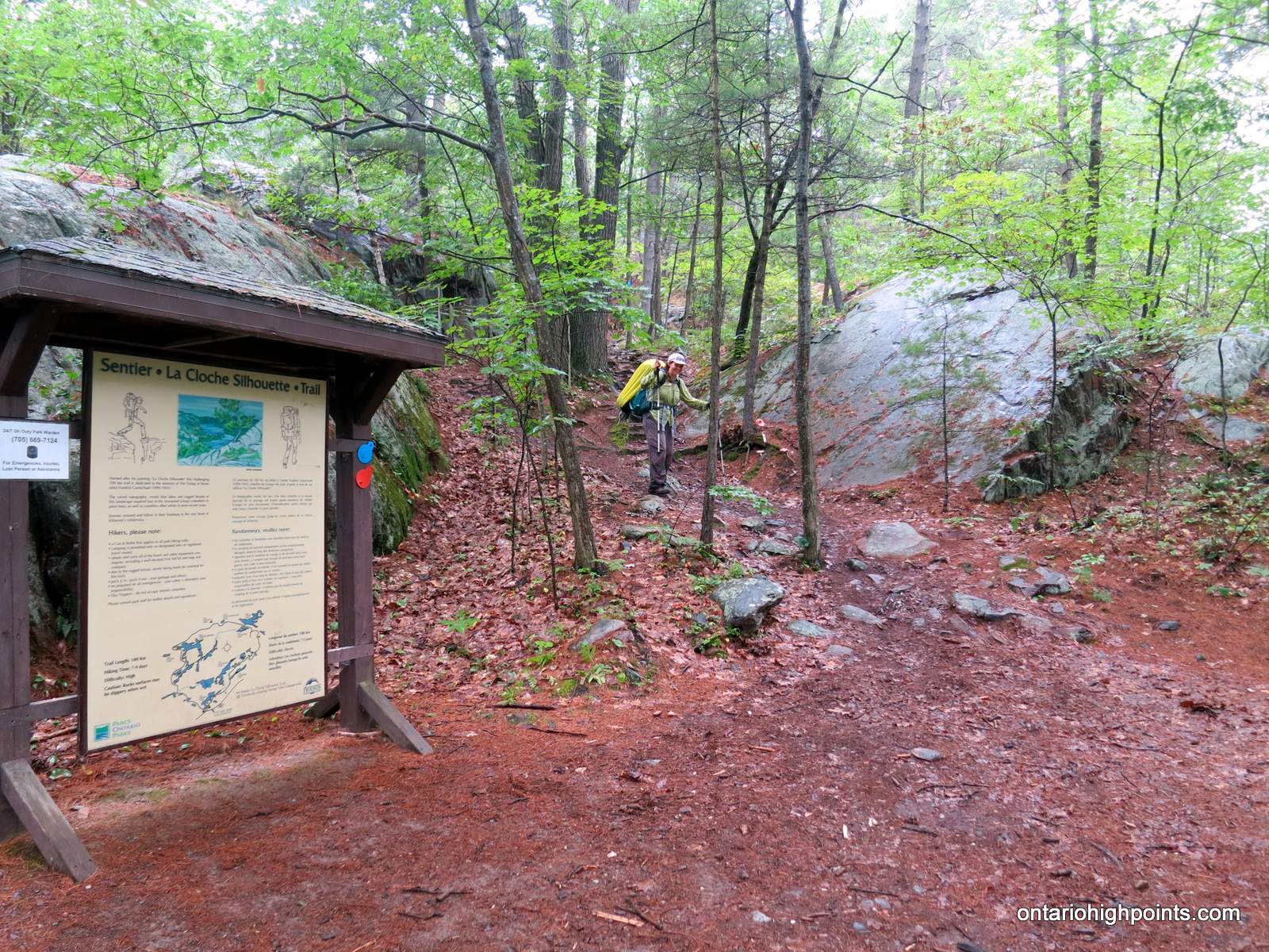
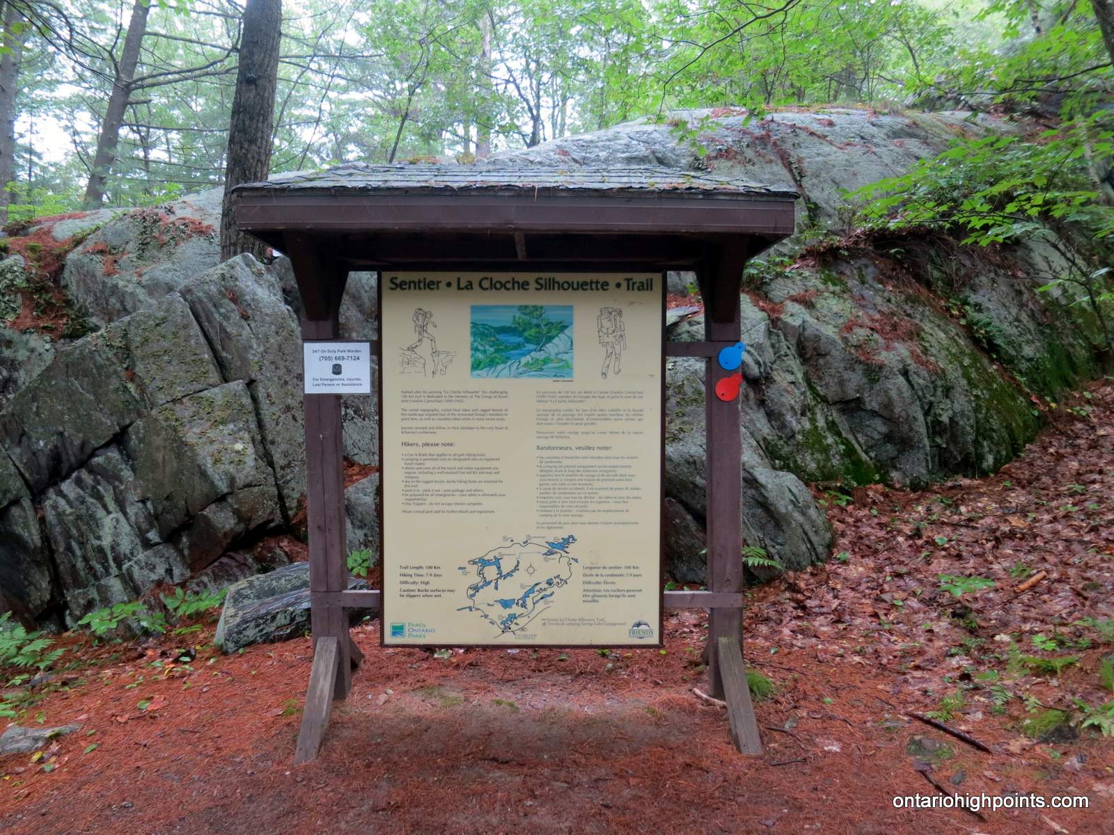
- Start of the La Cloche Silhouette Trail (going clockwise)
-
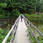
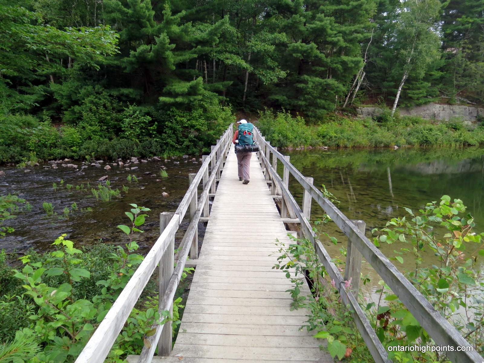
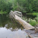
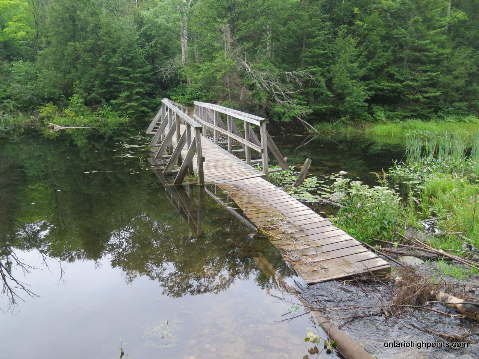
- Bridge across the outlet of George Lake
-
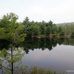
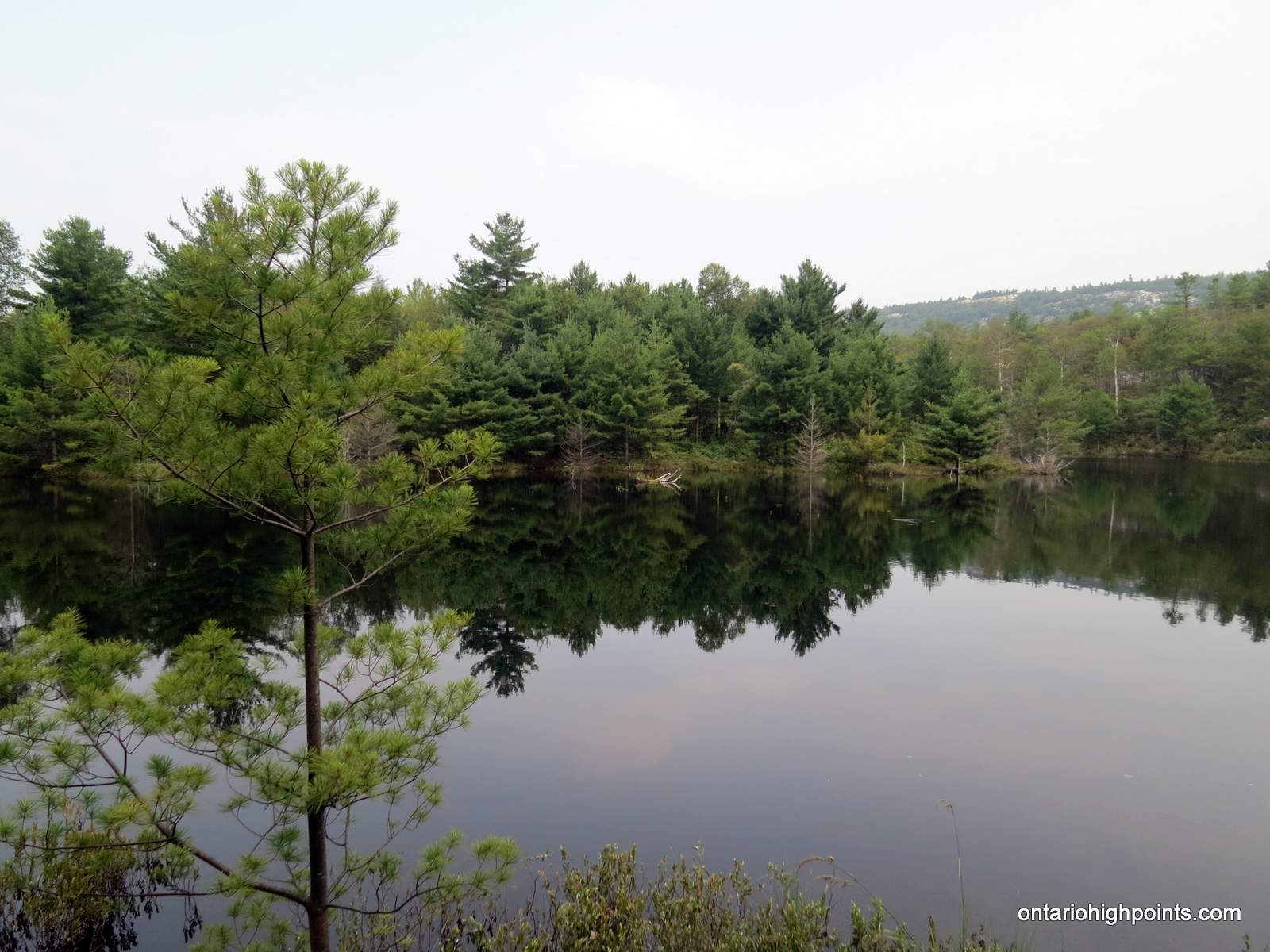
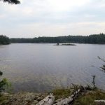
- Pond near Lumsden Lake
-
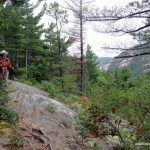
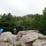
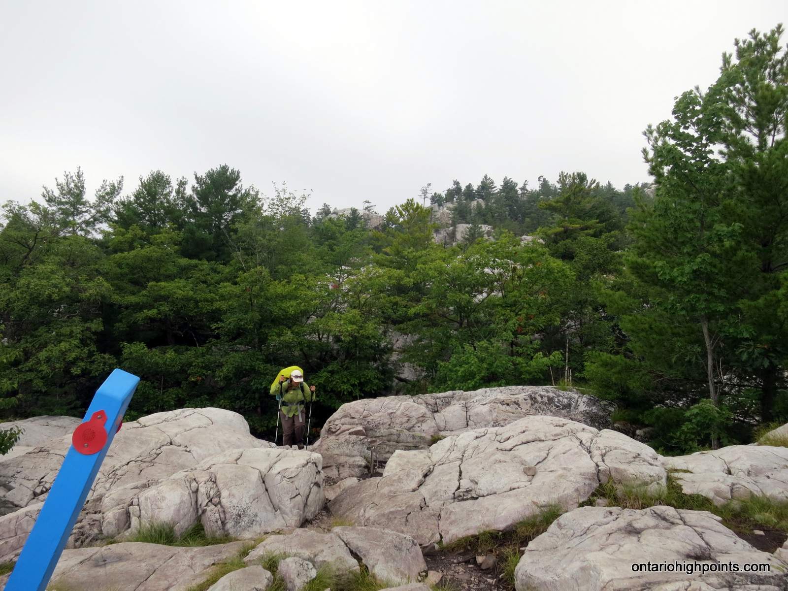
- Rugged pink granite outcrop
-
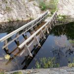
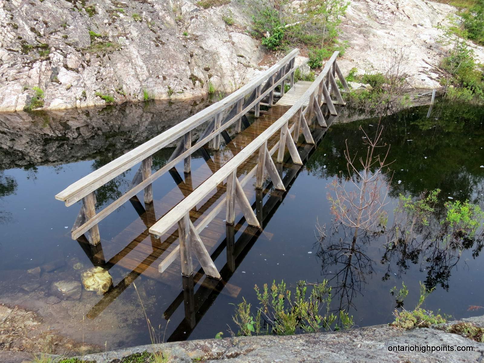
- The submerged bridge across the creek feeding Lumsden Lake
-
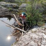
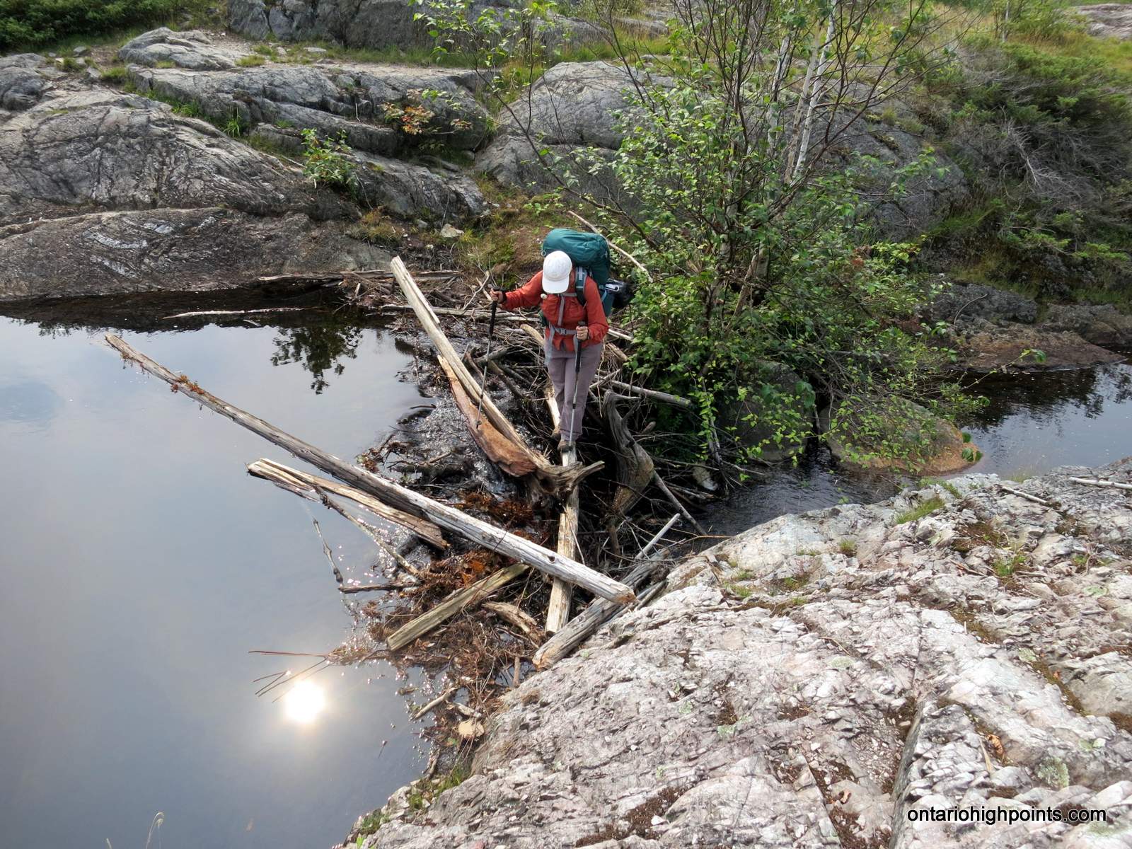
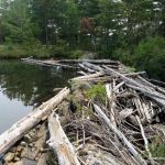
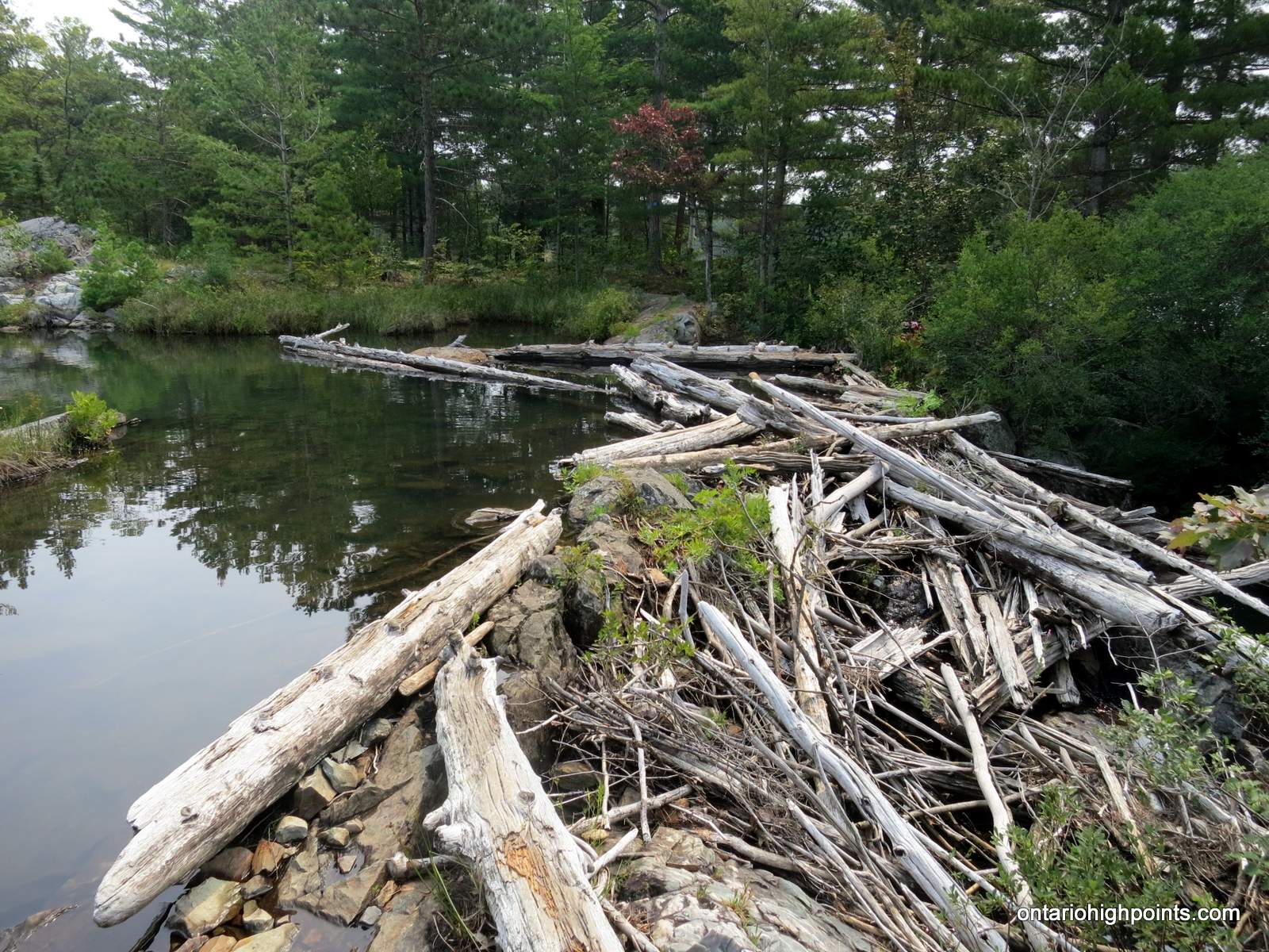
- Crossing the beaver dam instead of the submerged bridge
-
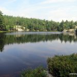
- Acid Lake
-
- Log jam crossing at Acid Lake
-
- Artist Creek
-
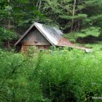
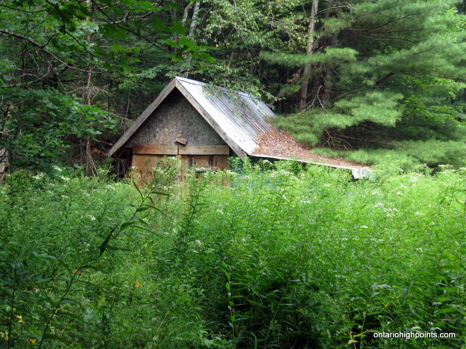
- Shack in the woods near Baie Fine
-
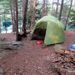
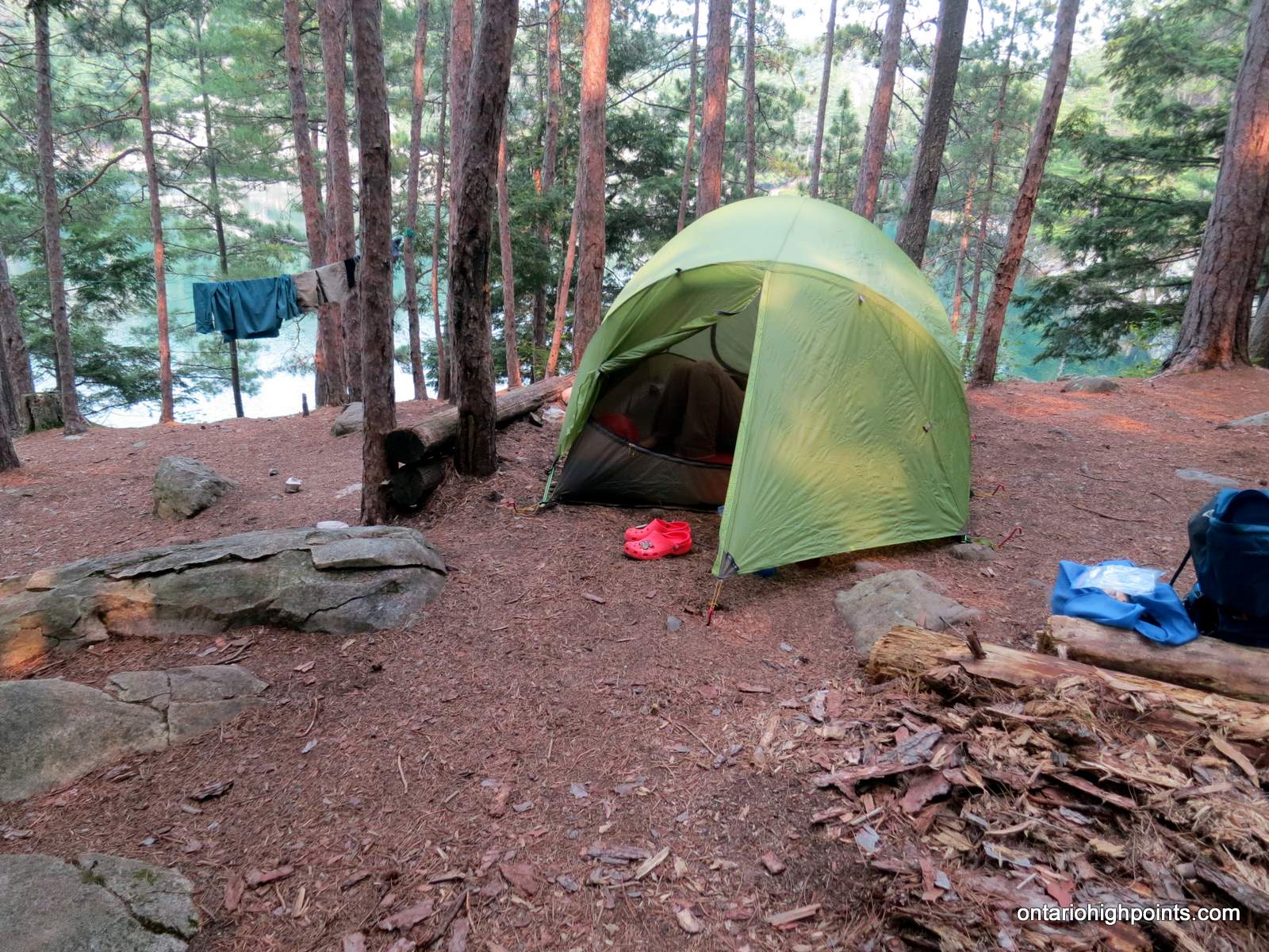
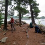
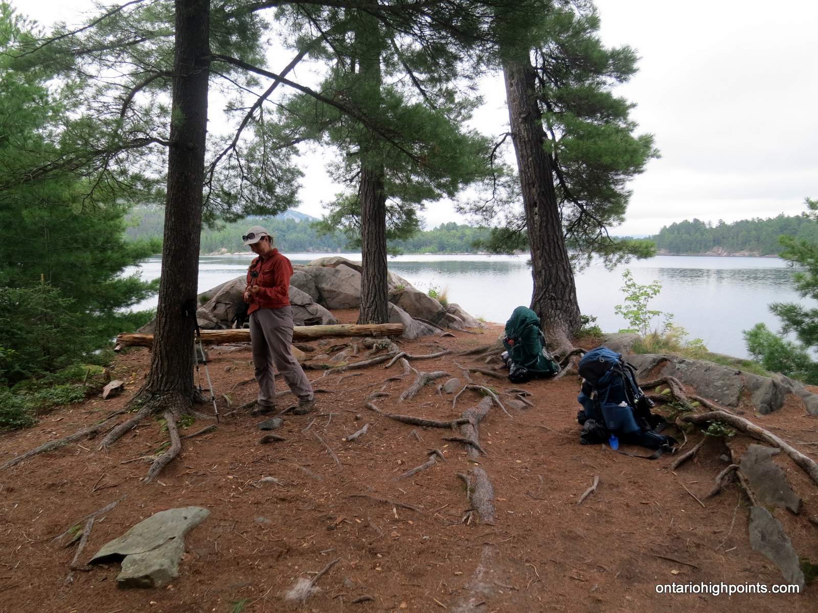
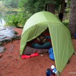
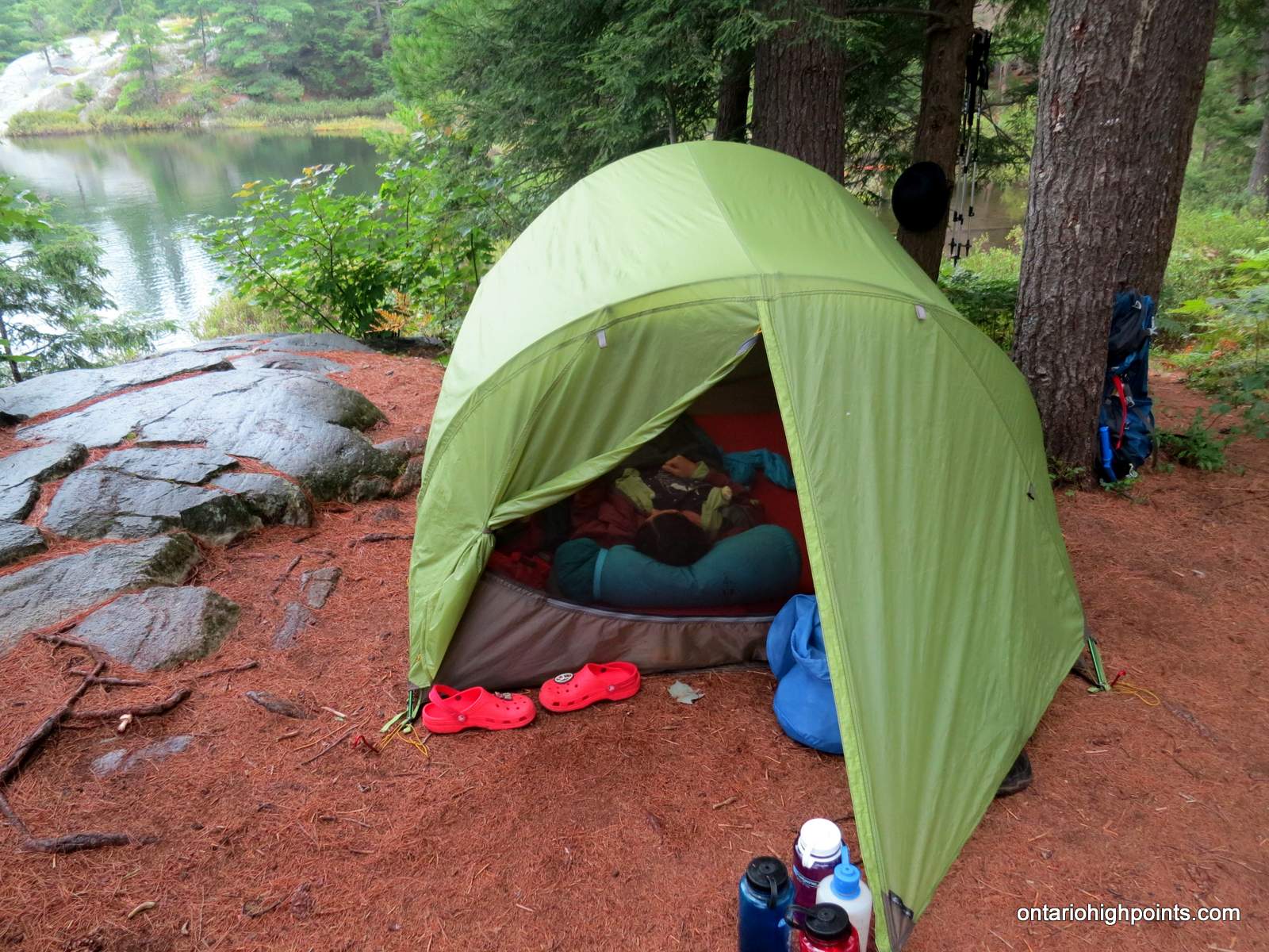
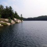
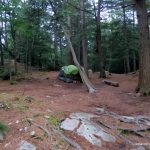
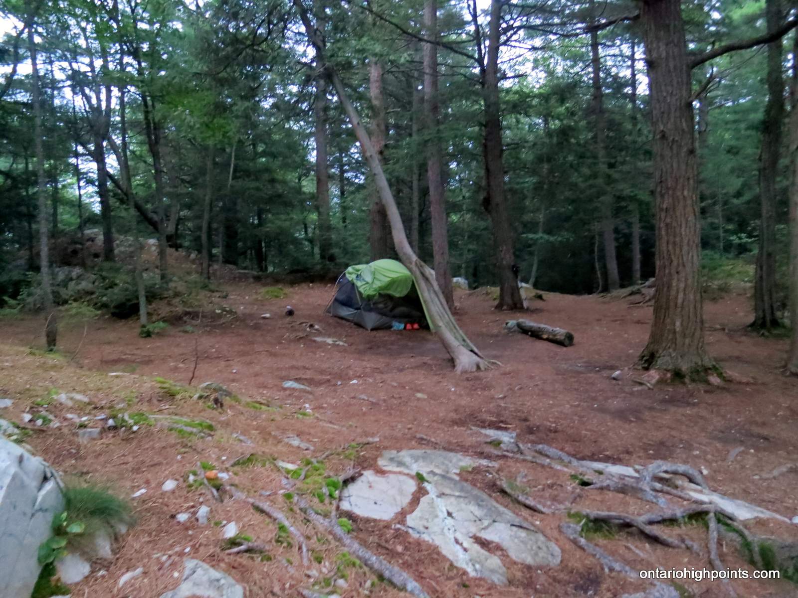
- Campsite at Topaz Lake (H7)
-
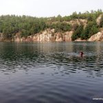
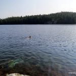
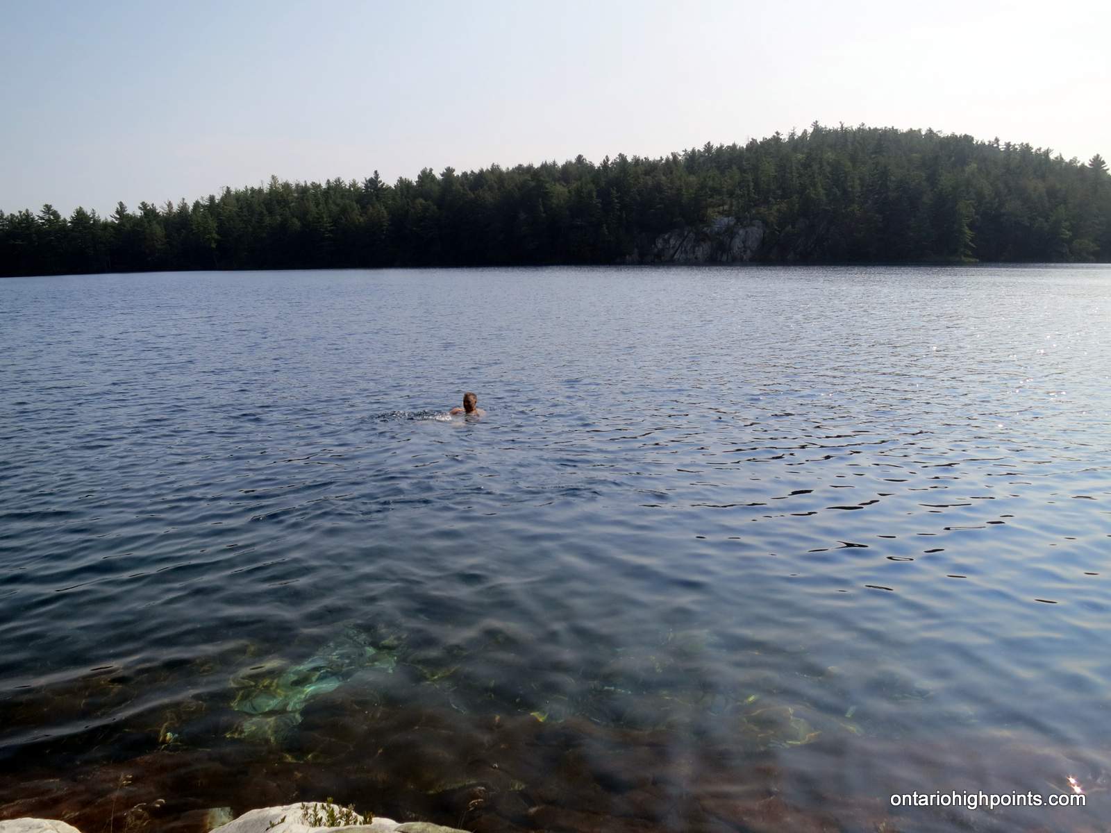
- Cooling off in Topaz Lake
-
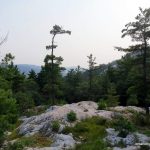
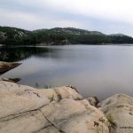
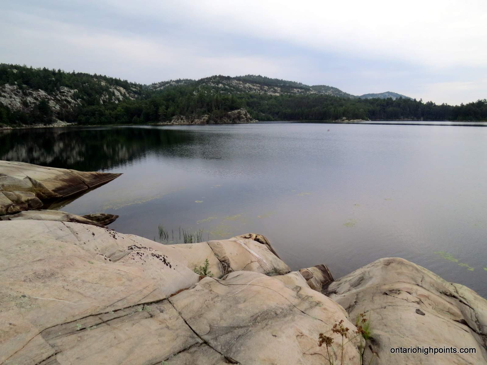
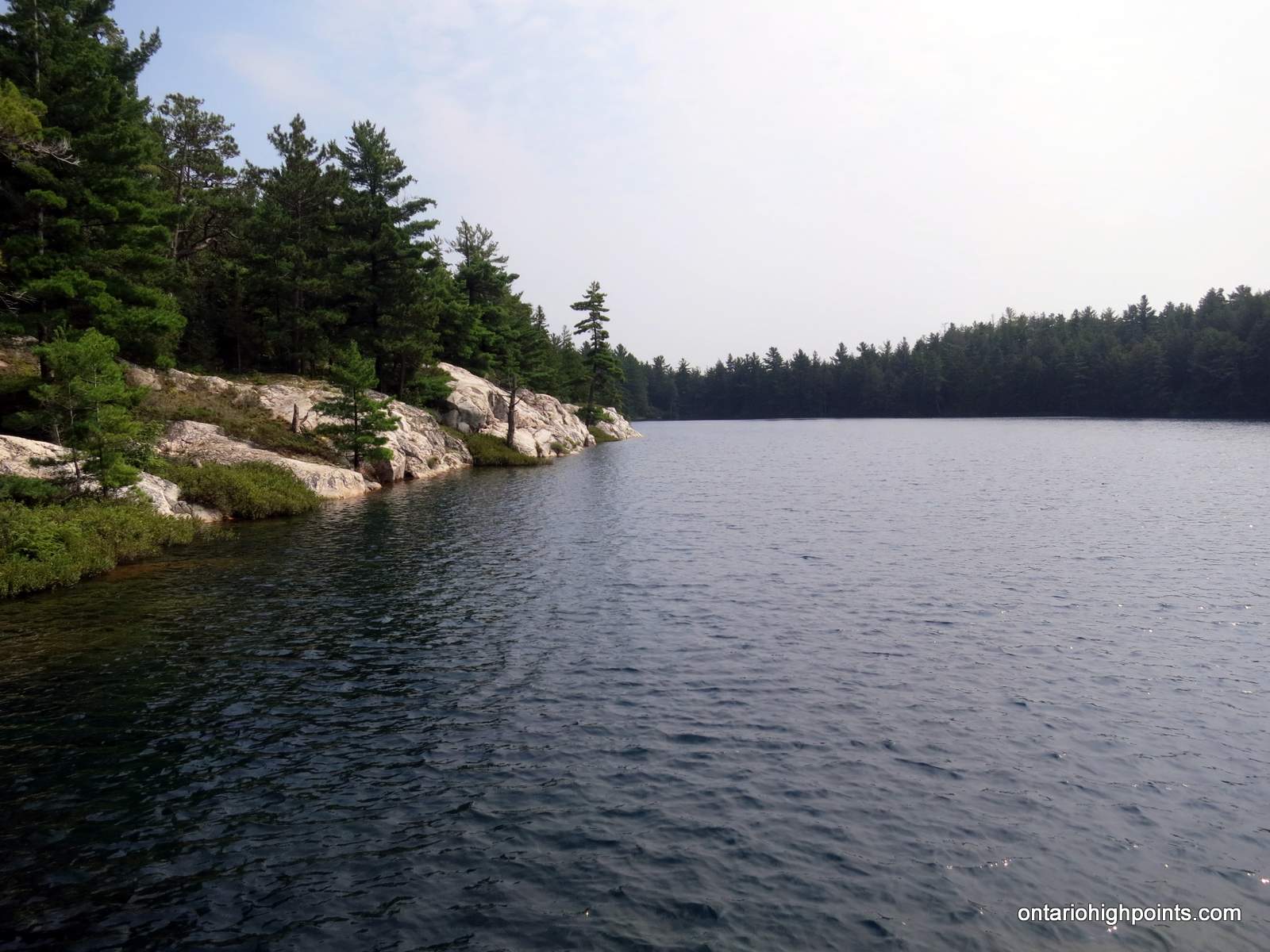
- Killarney landscape
-
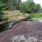
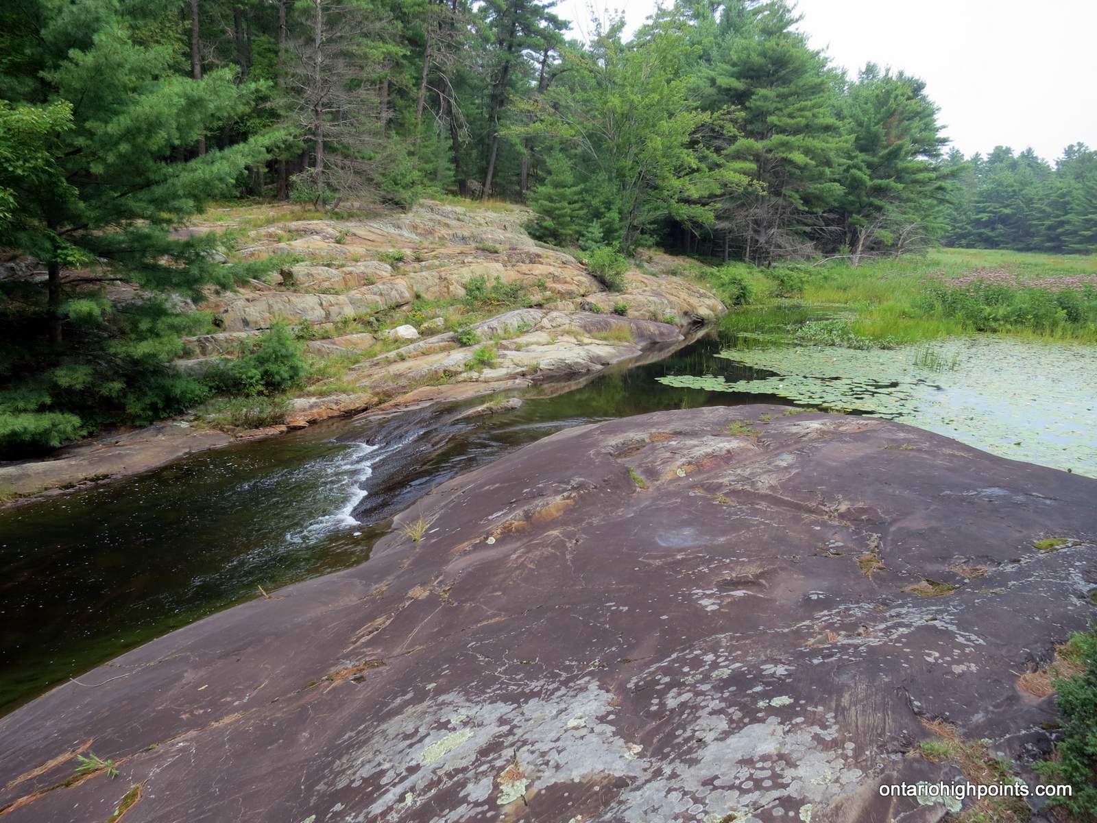
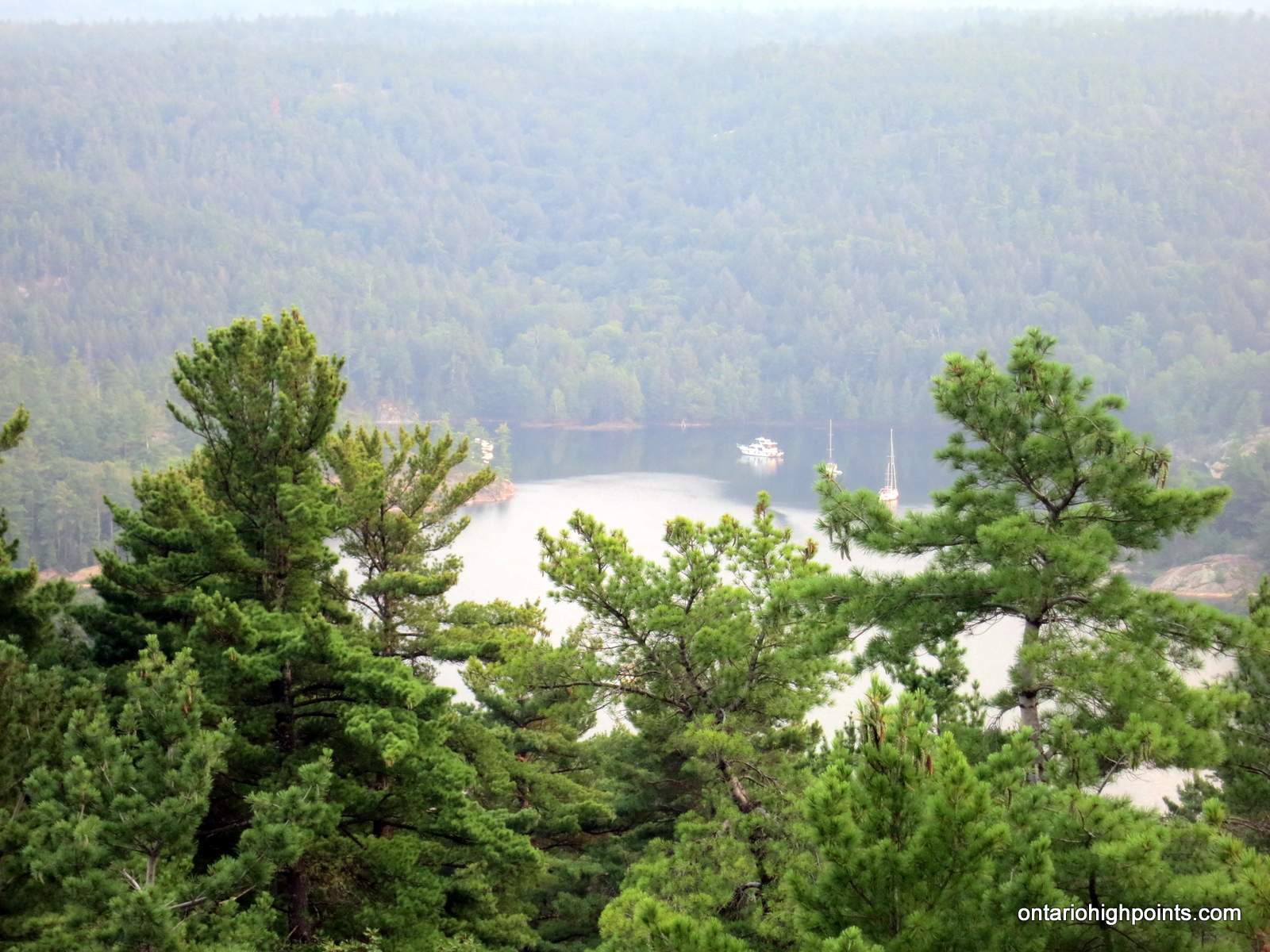
- The Pool, Baie Fine
-
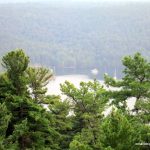
- Close up of “The Pool”, Baie Fine
-
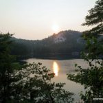
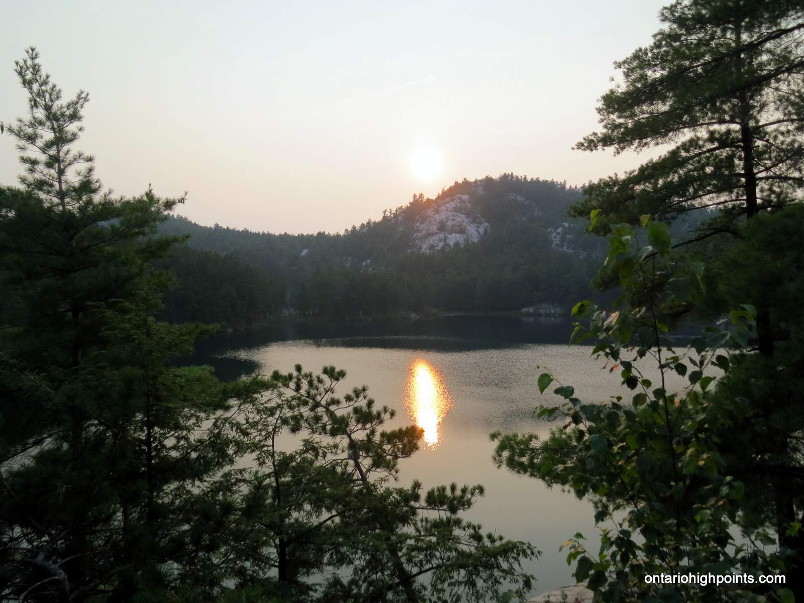
- Sunset on Topaz Lake
-
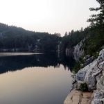
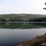
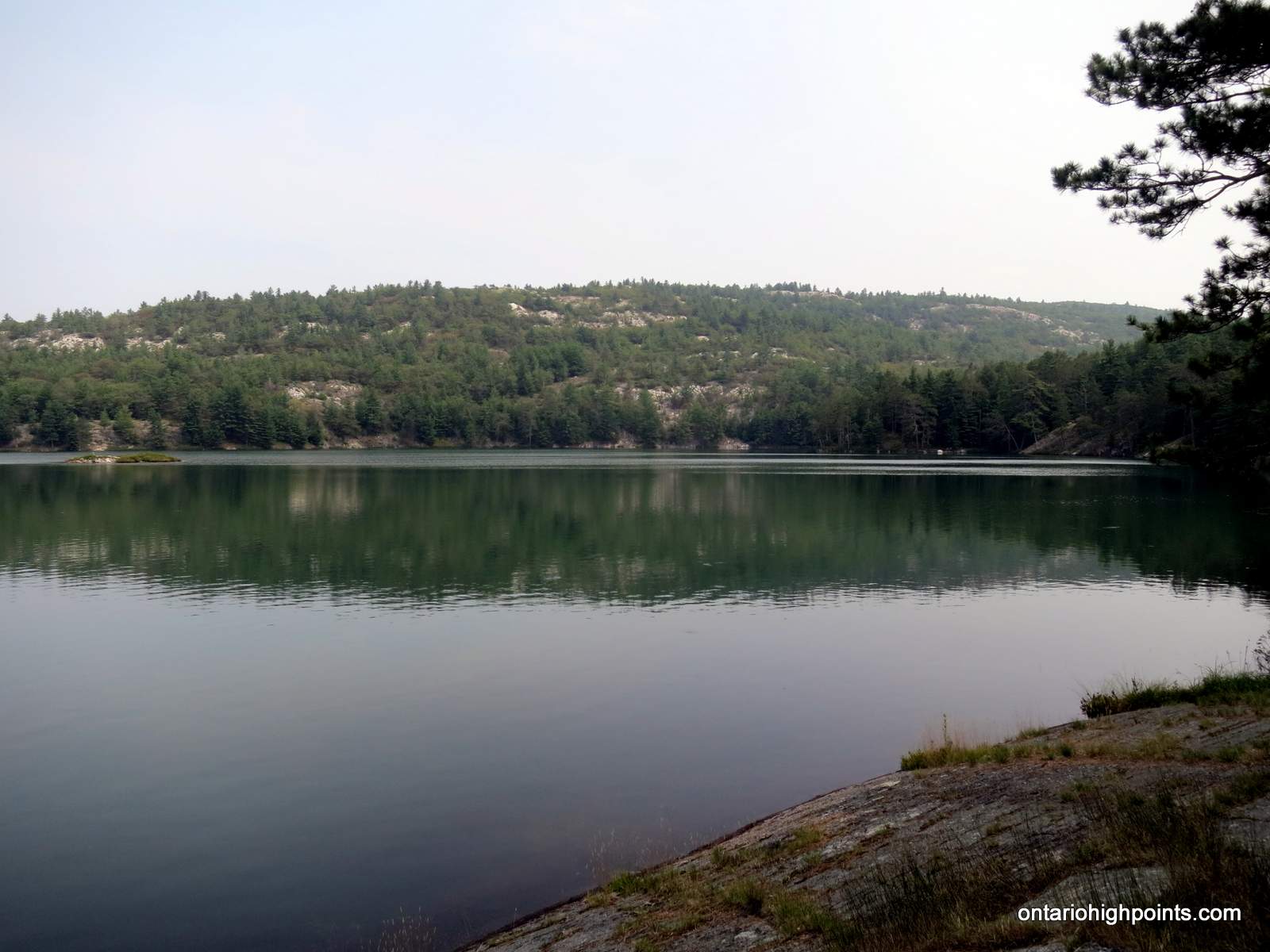
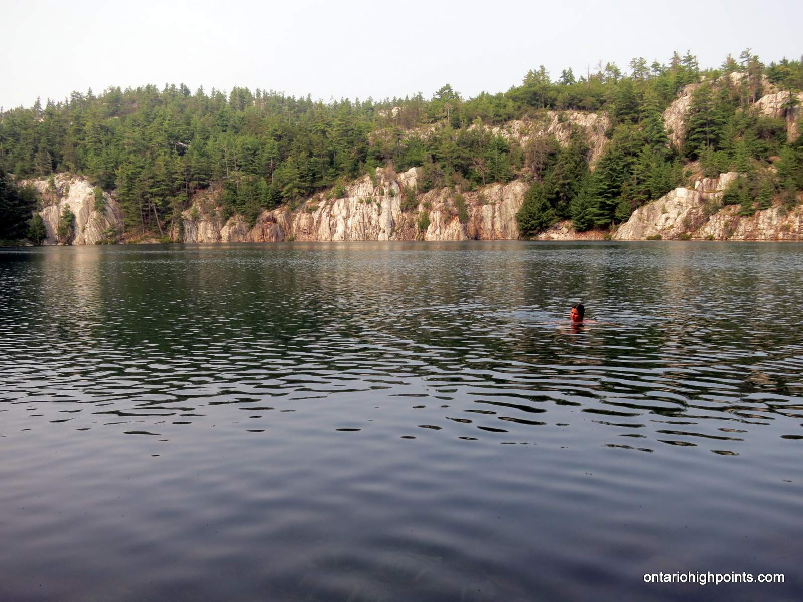
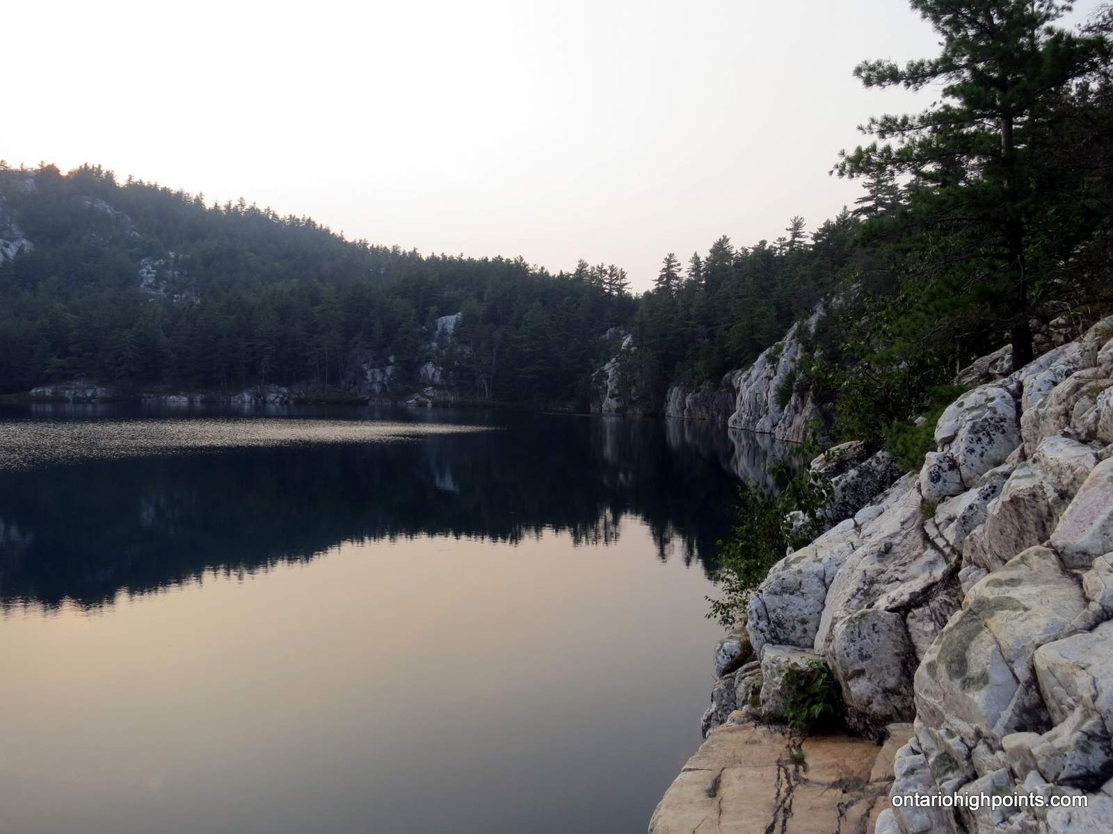
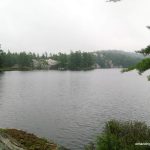
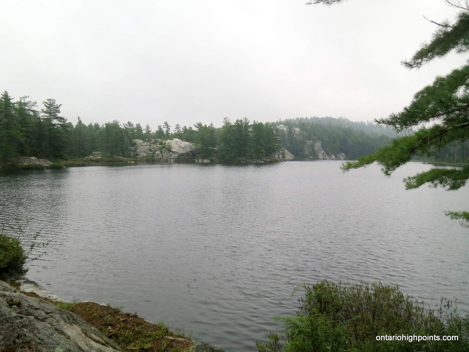
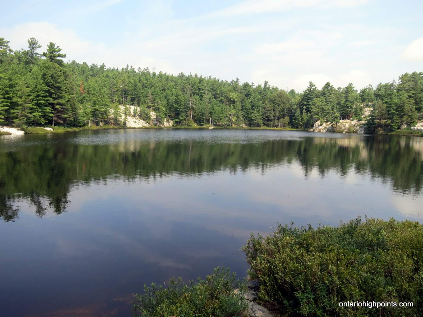
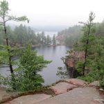
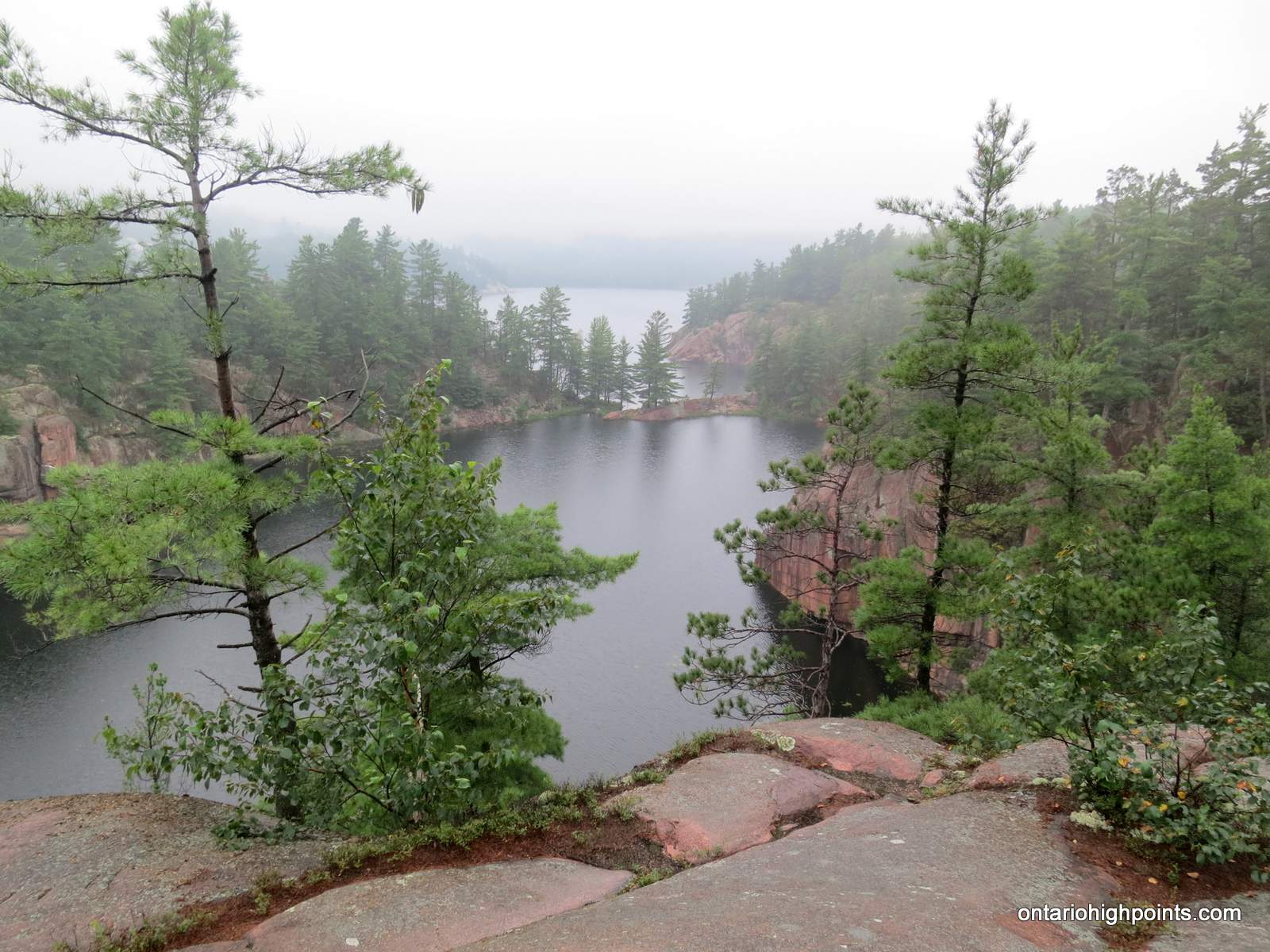
- Quartzite cliffs enclosing Topaz Lake
Day 2 – Topaz Lake (H07) to Three Narrows Lake (H21):
-
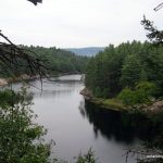
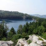
- First glimpse of Three Narrows Lake
-
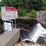
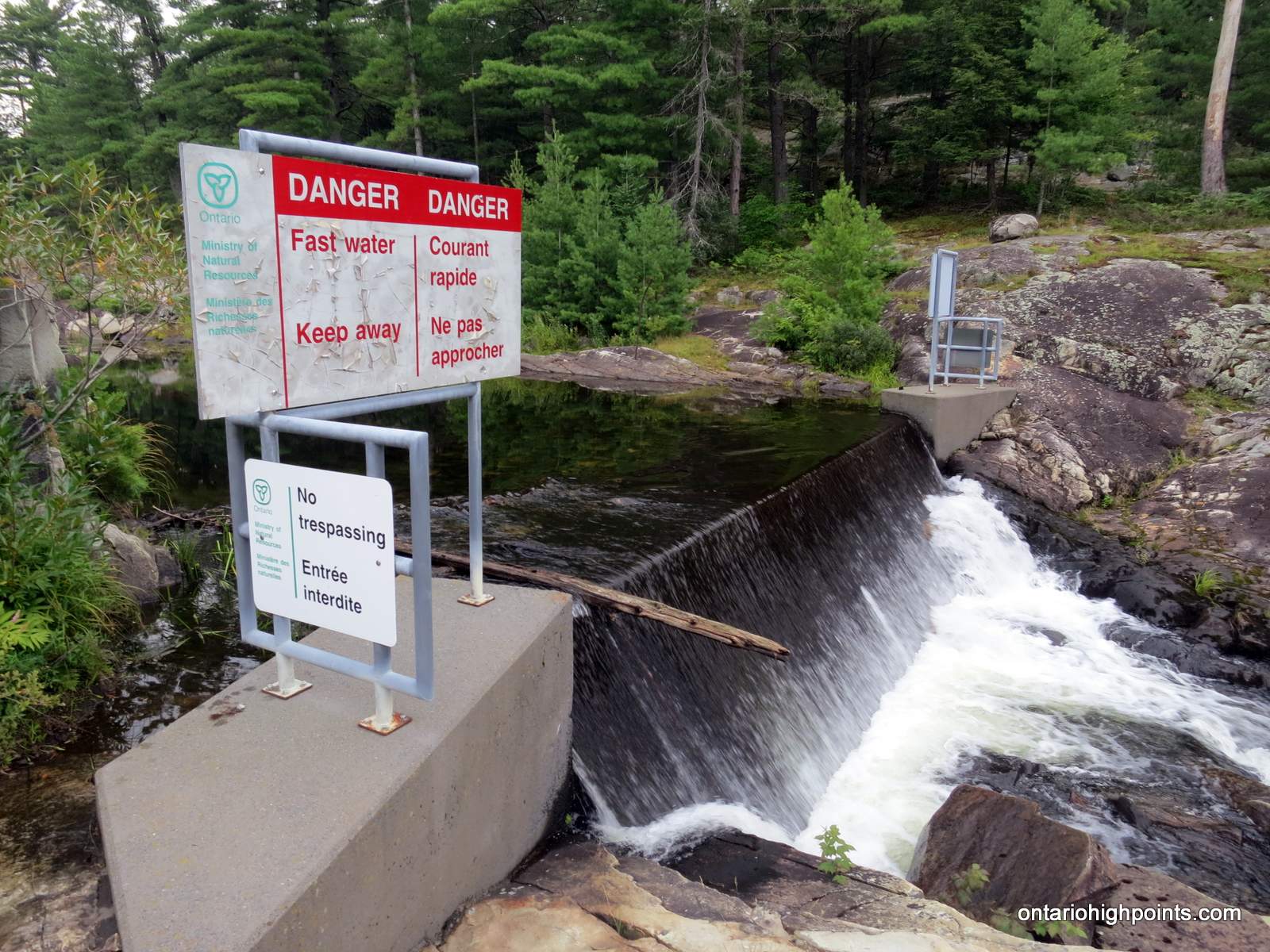
- The dam at Three Narrows Lake
-
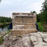
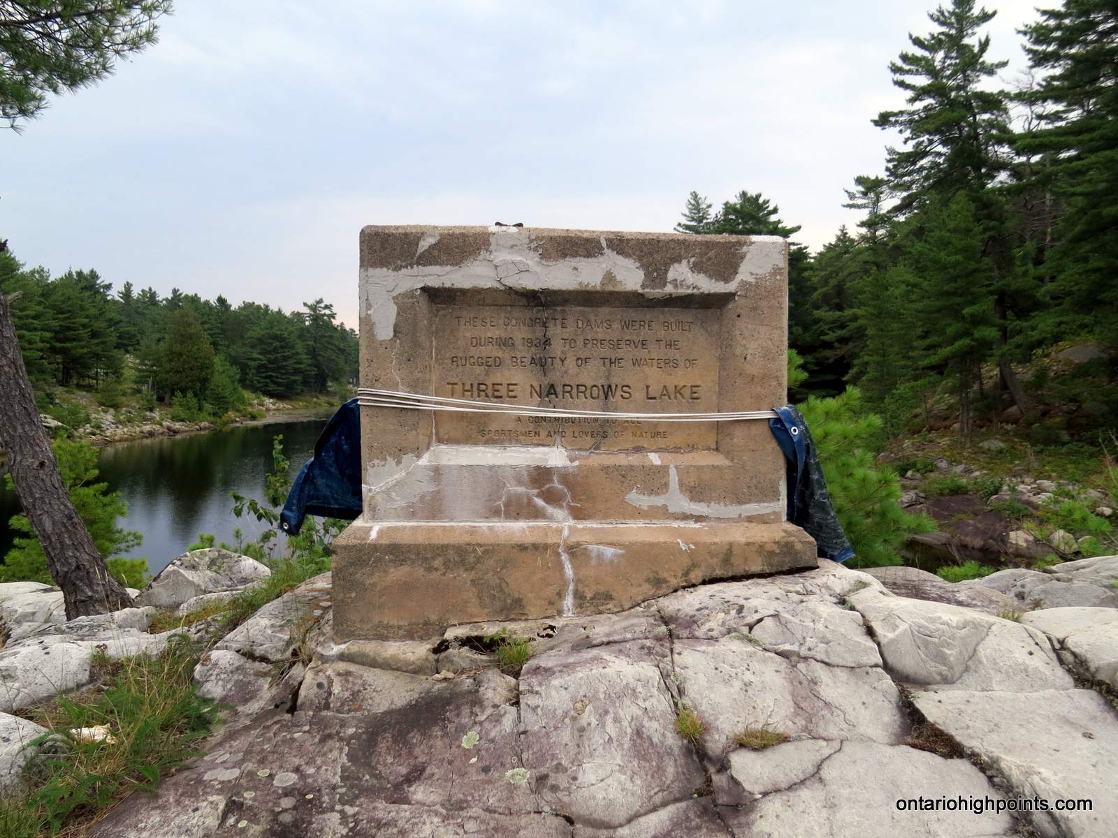
- Deteriorating Three Narrows Lake dam monument
-
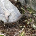
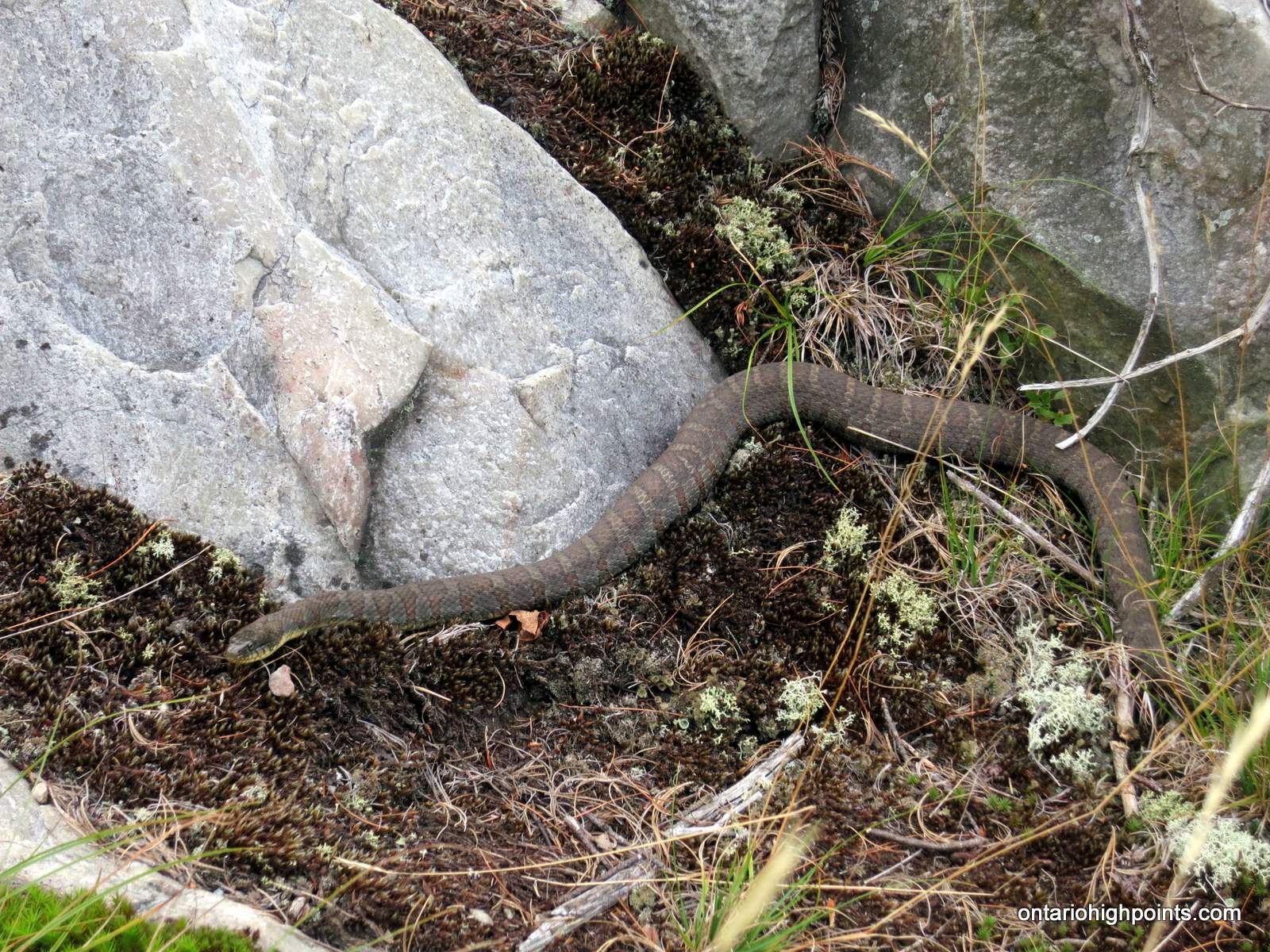
- Northern Water Snake
-
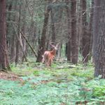
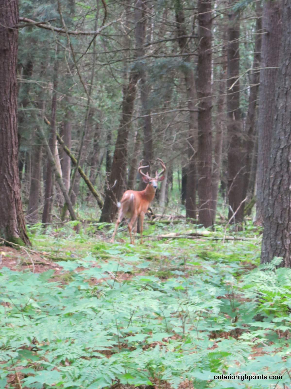
- A brief glimpse of a deer
-
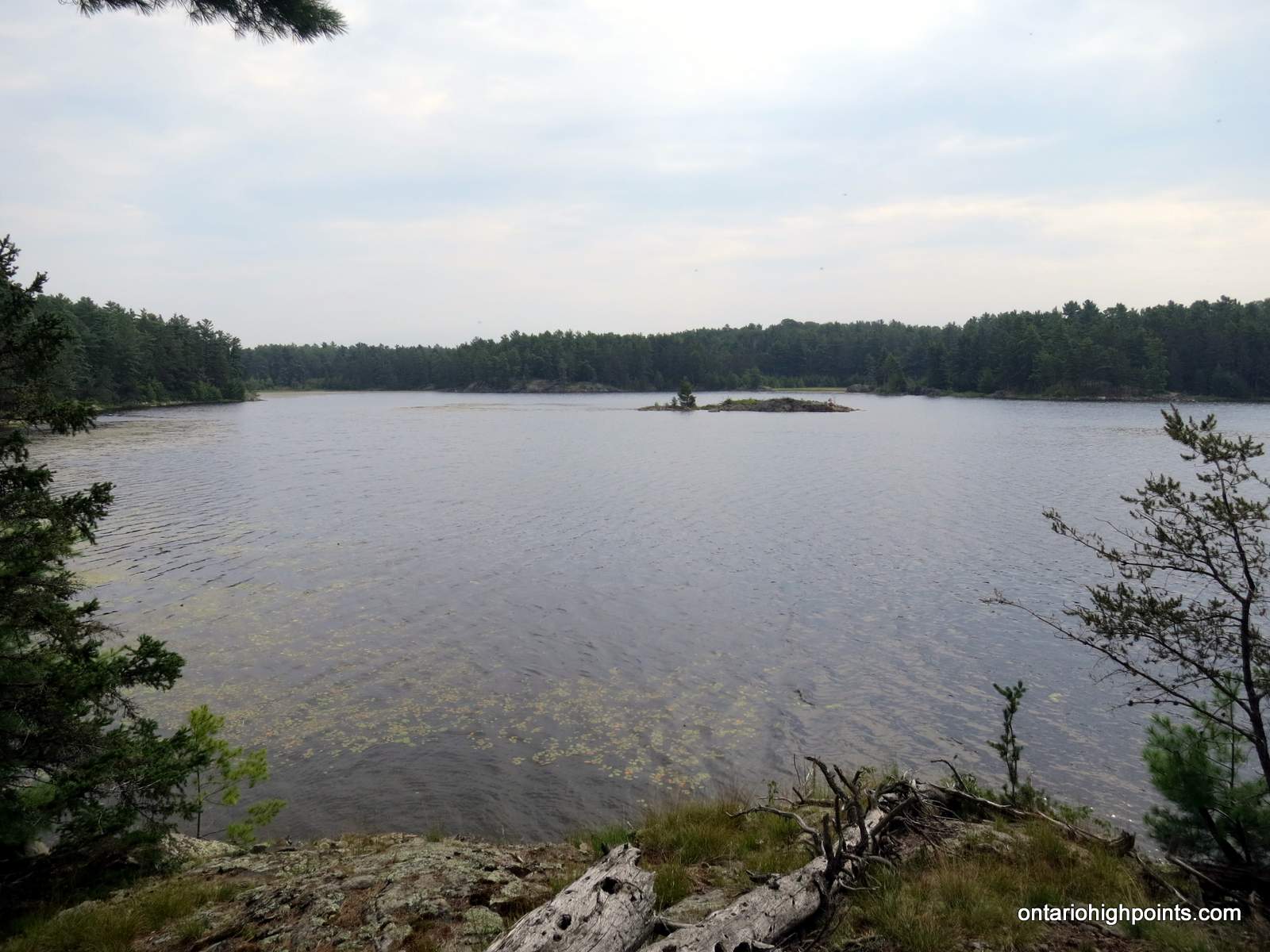
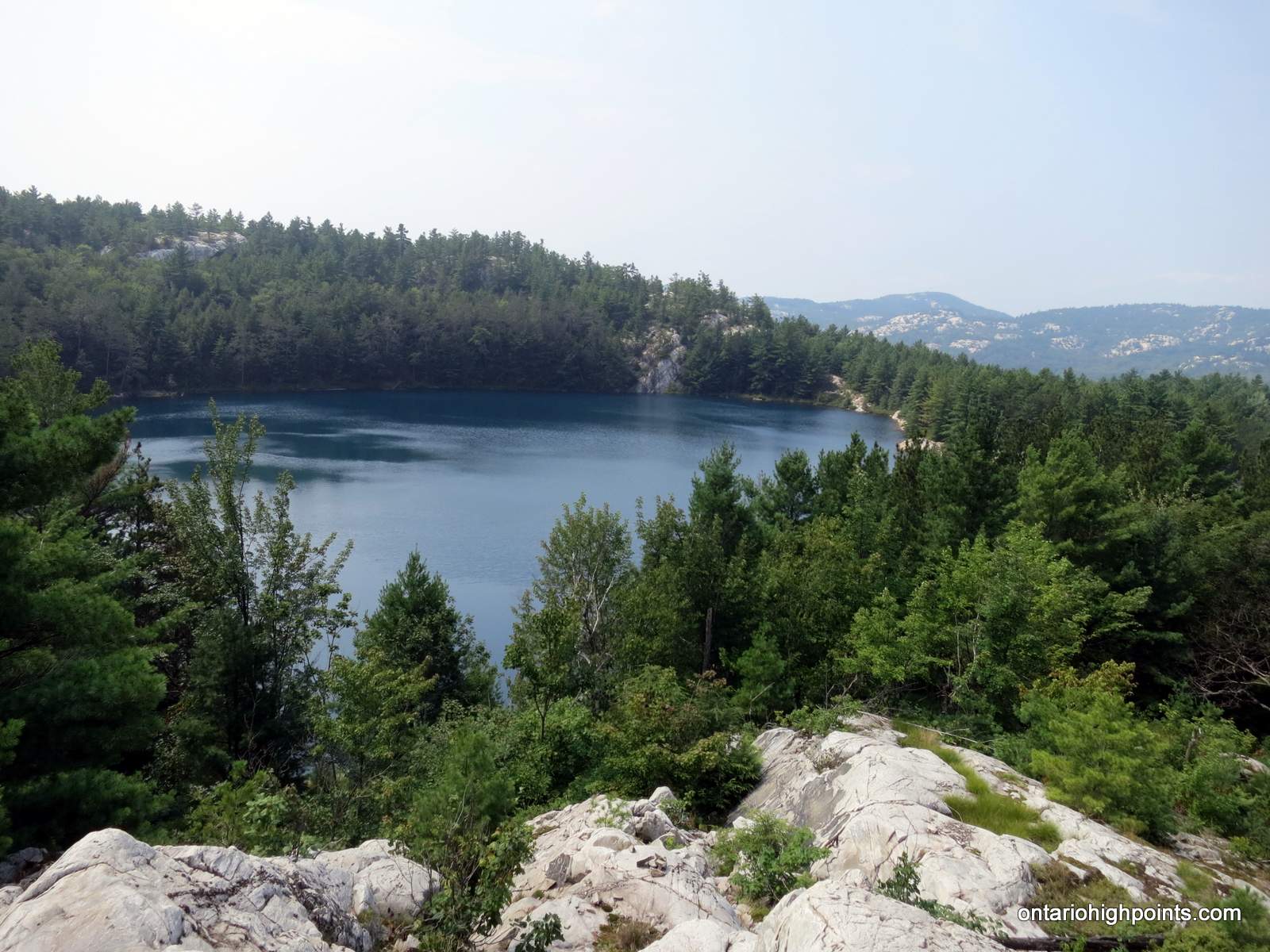
- One of the many bays along Three Narrows Lake
-
- One of the narrows of Three Narrows Lake
-
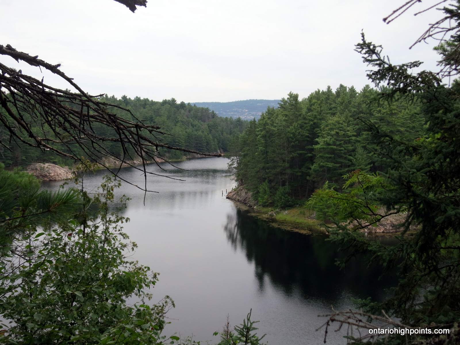
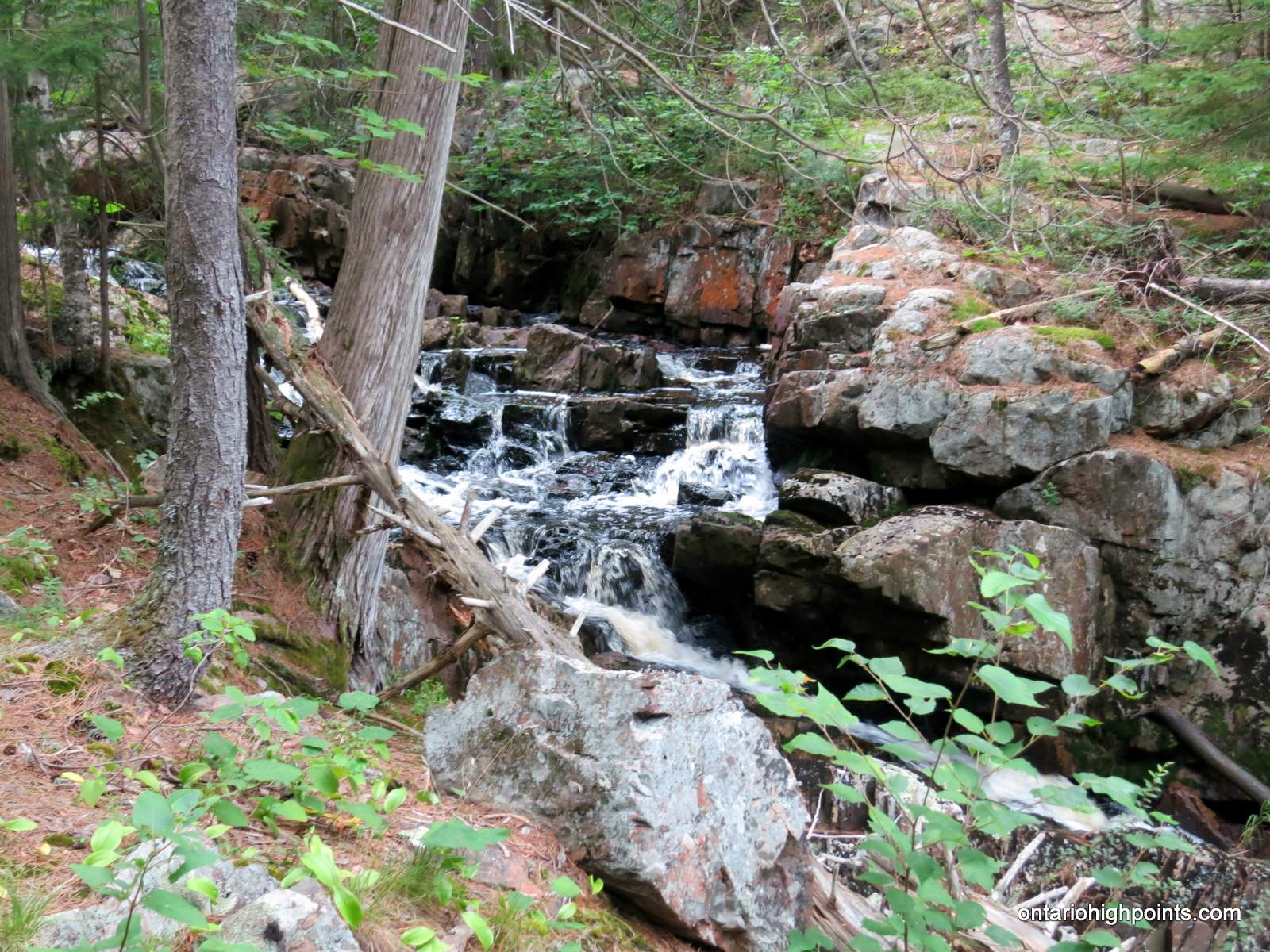
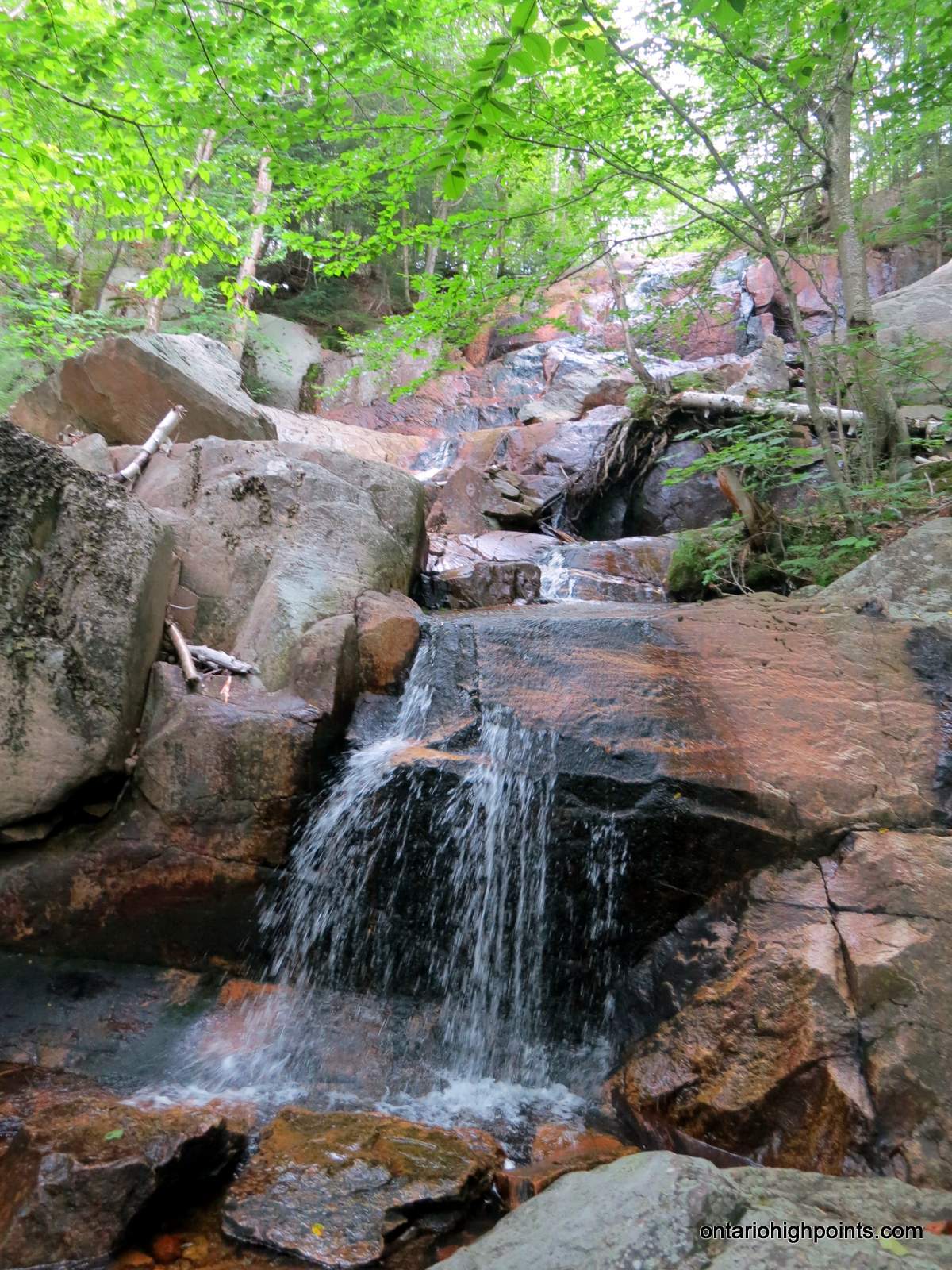
- Waterfall near Three Narrows Lake
-
- View of an old camp from our campsite (H21)
-
- Our campsite (H21) on Three Narrows Lake
-
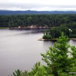
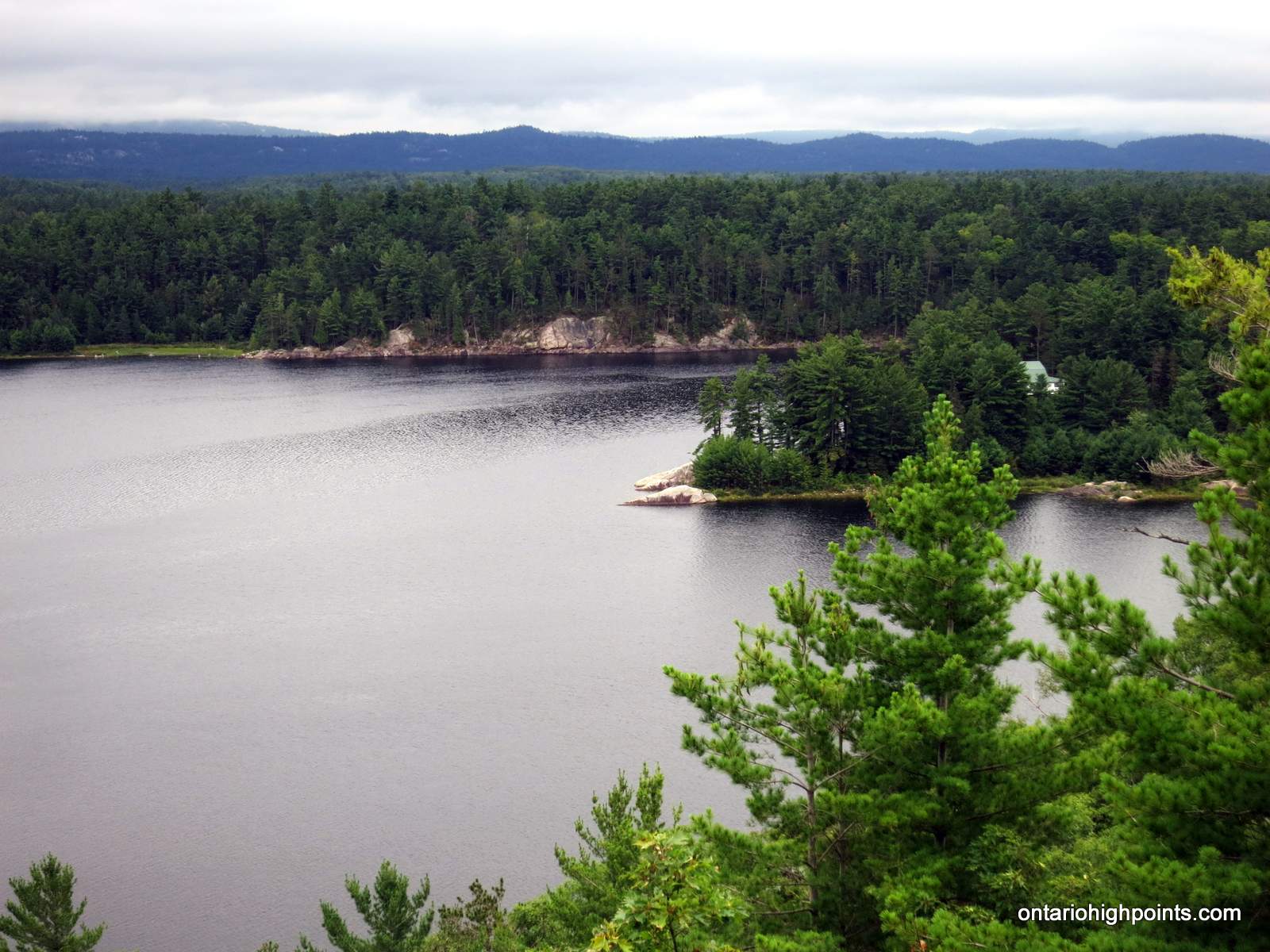
- La Cloche mountain ridges rising above Three Narrows Lake
Day 3 – Three Narrows Lake (H21) to Little Mountain Lake (H33) :
-
- View back at the campsite point (H21)
-
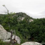
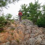
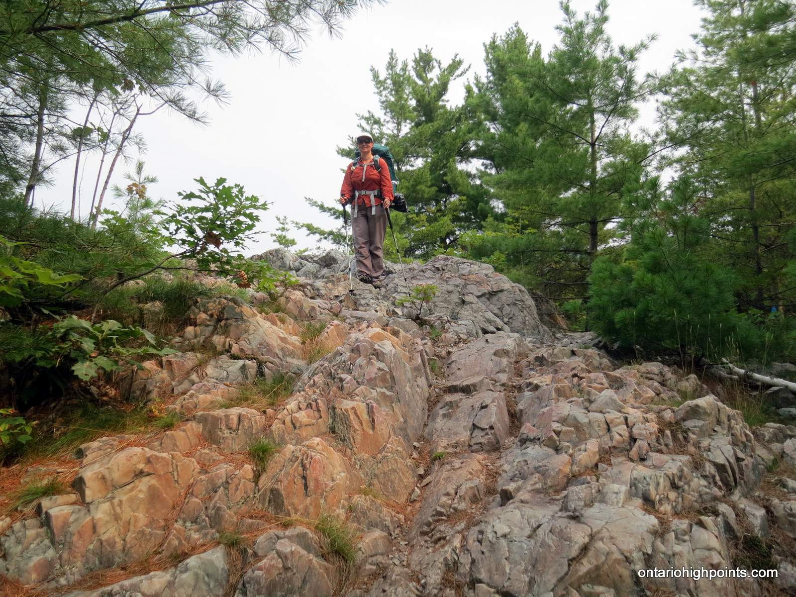
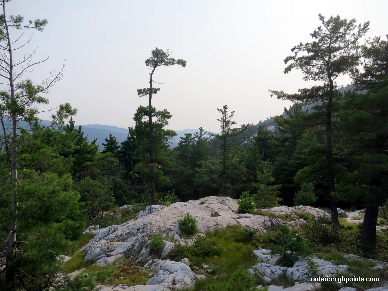
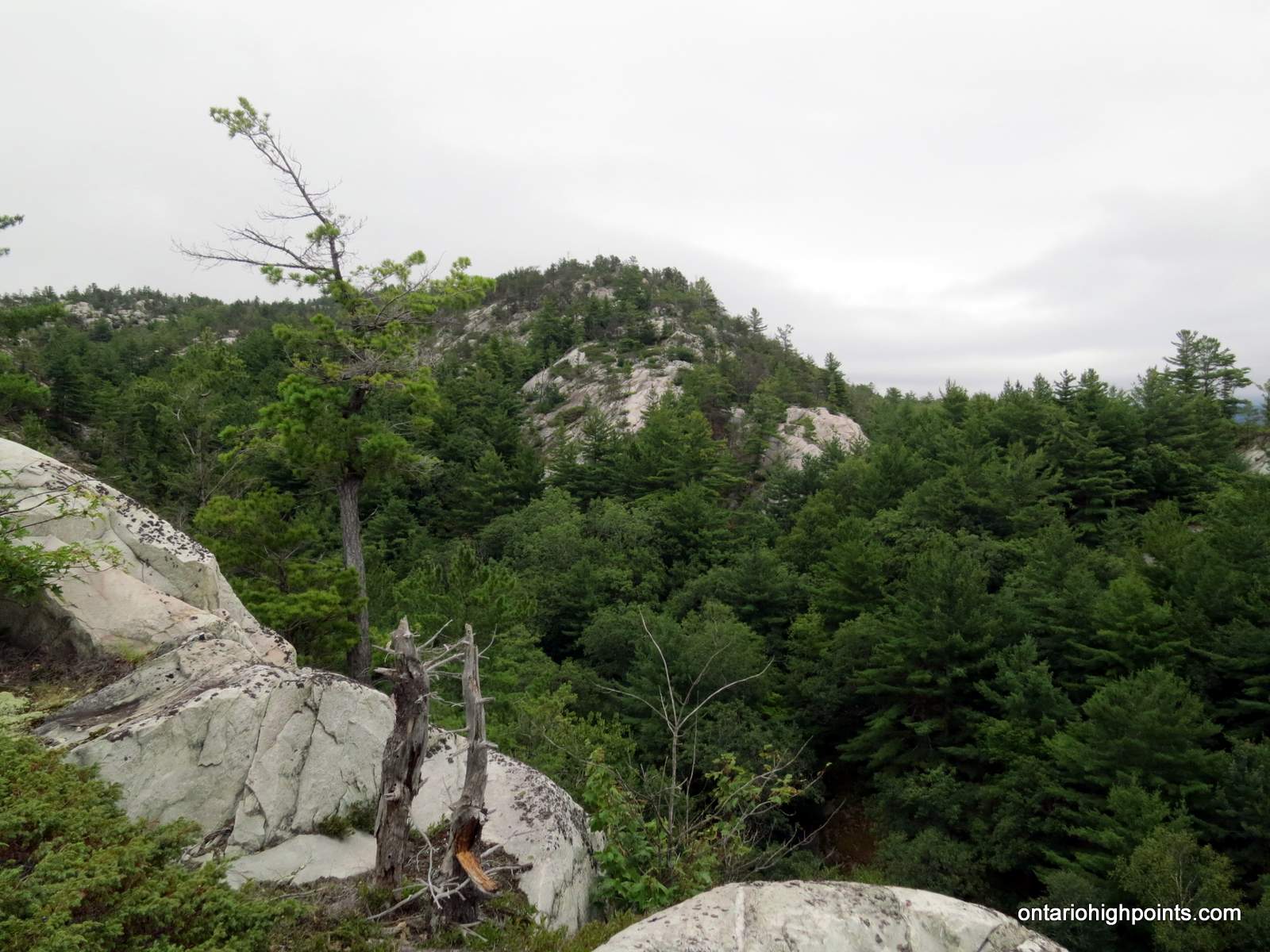
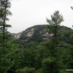
- Quartzite ridges of the La Cloche Mountains
-
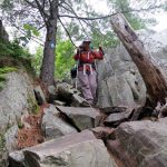
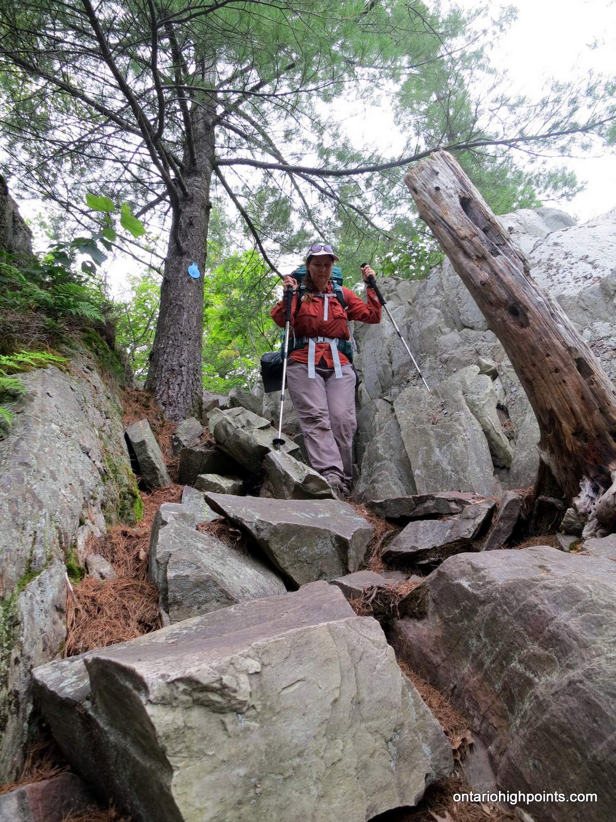
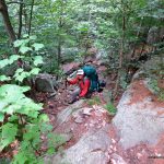
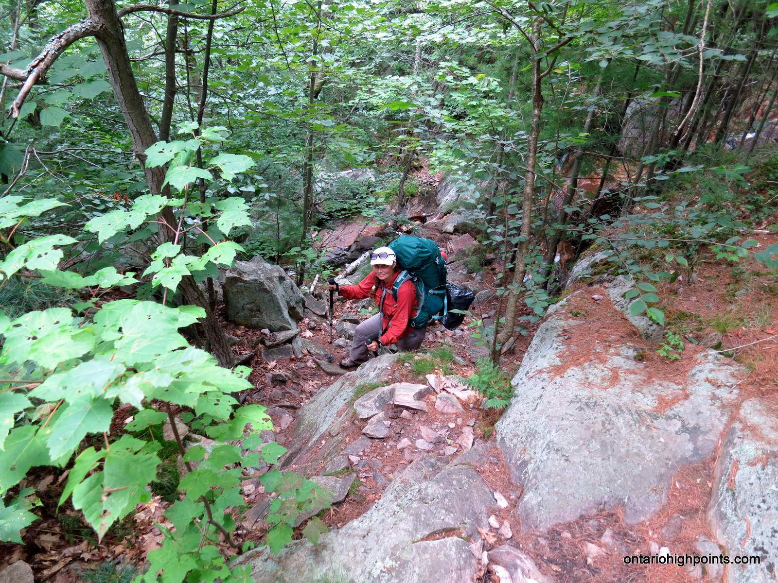
- Steep descent off the first ridge of the day
-
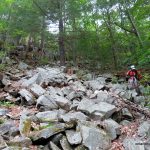
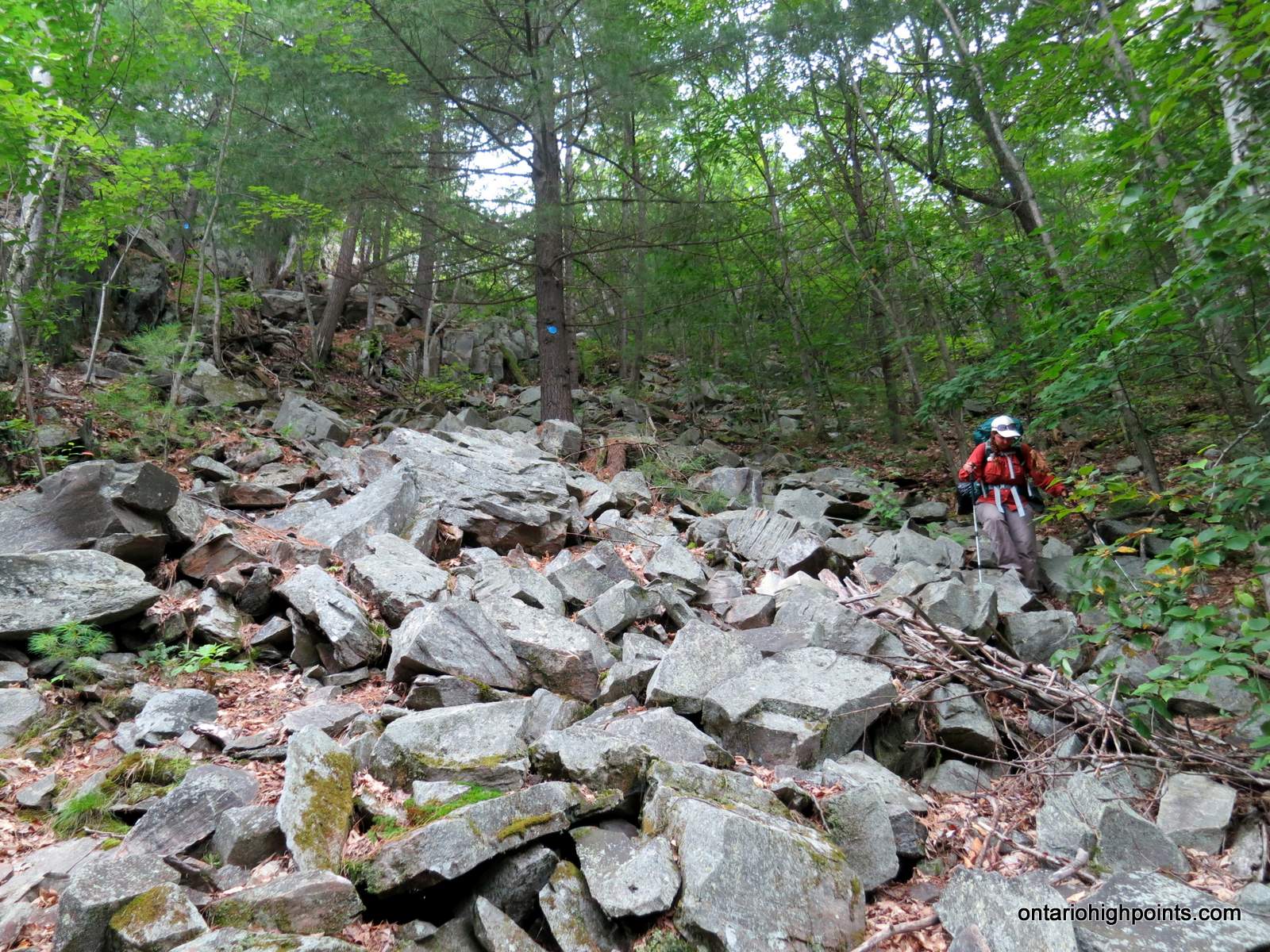
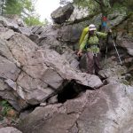
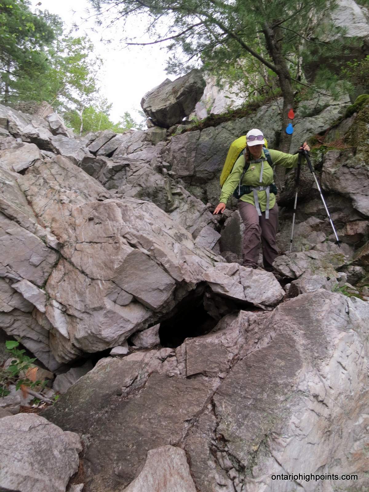
- Navigating the boulder field near the bottom
-
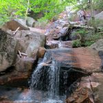
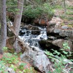
- Small waterfall
-
- Climbing back up the ridge
-
- A white pine near the ridge top (Three Narrows Lake in the background)
-
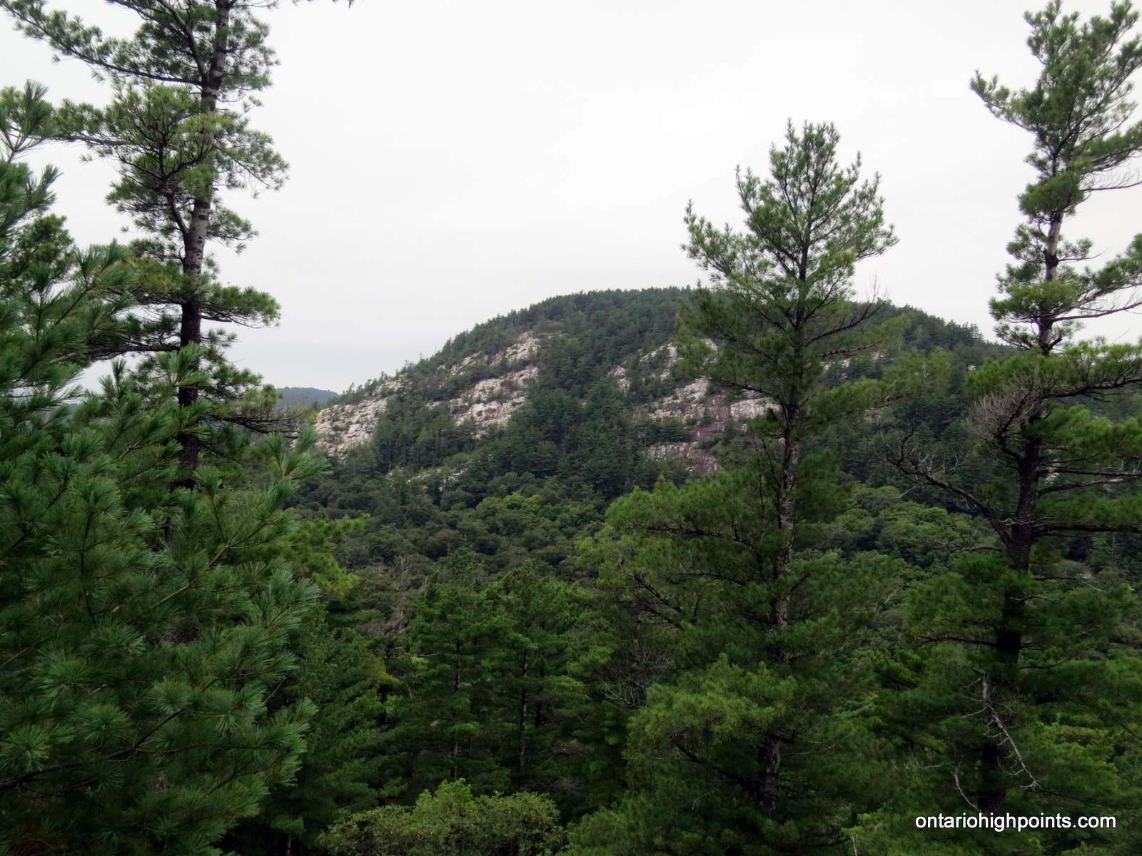
- La Cloche Mountain ridges
-
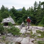
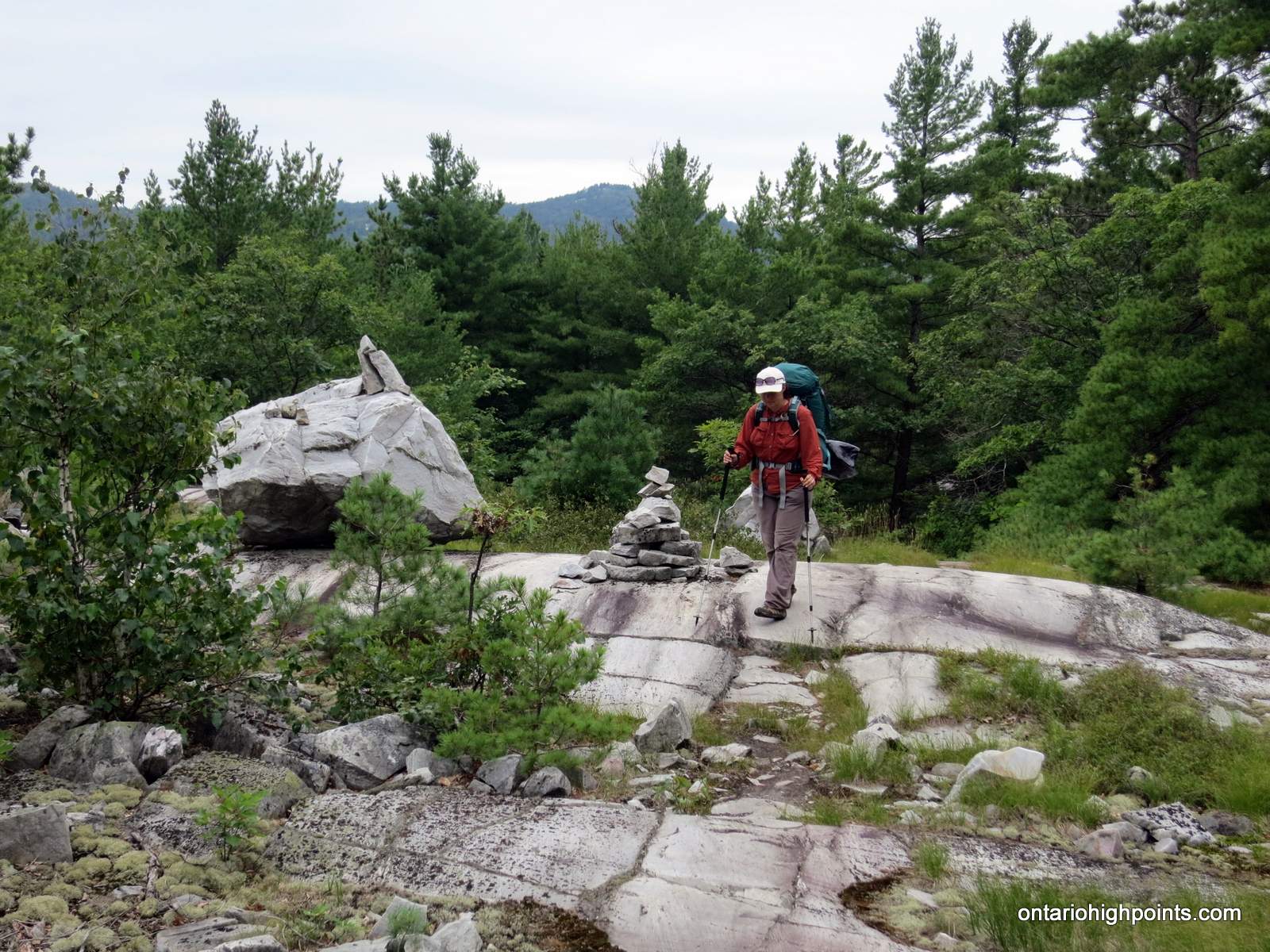
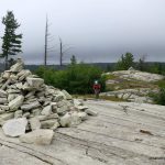
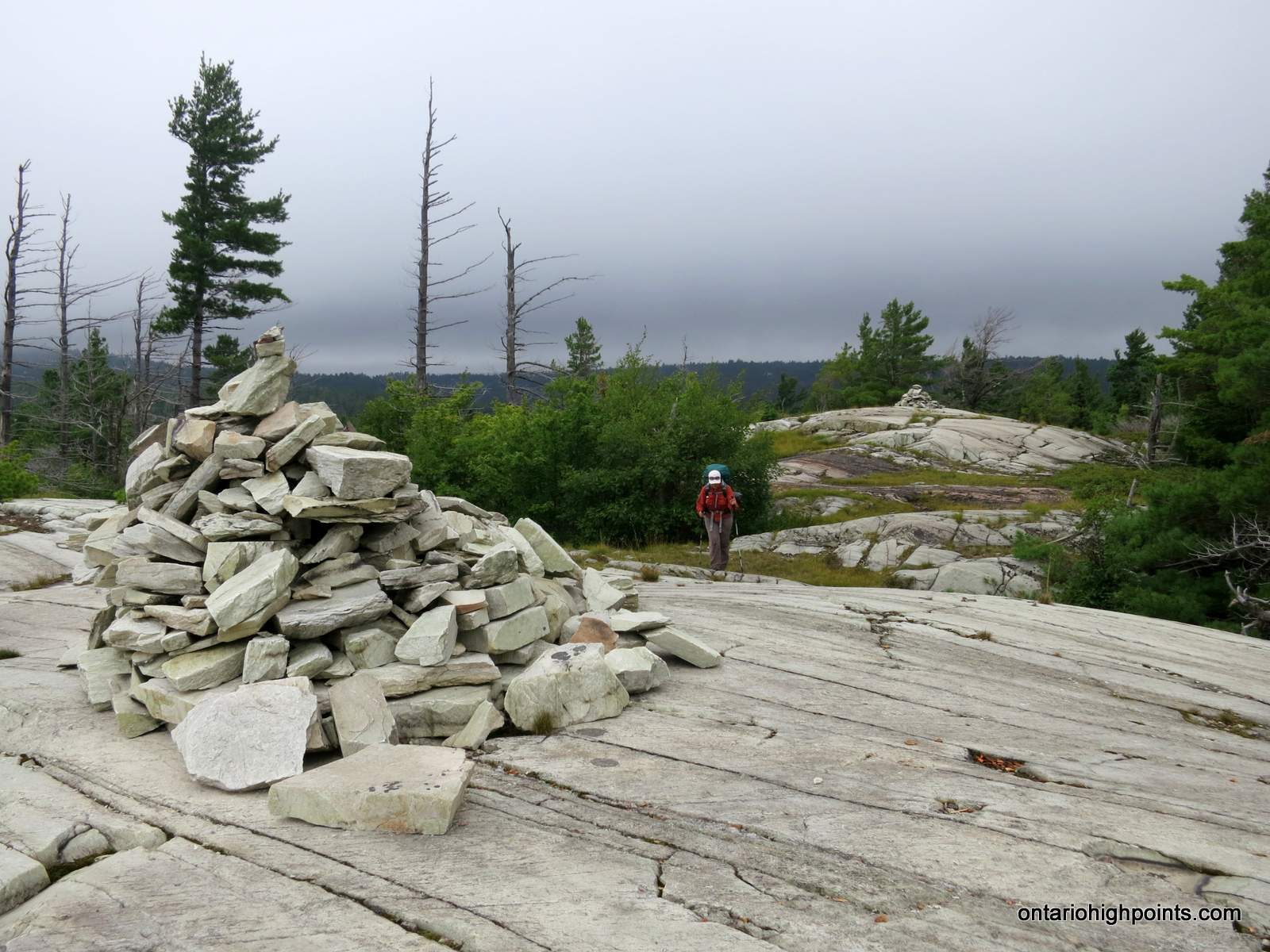
- Hiking past a cairn
-
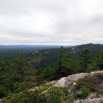
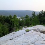
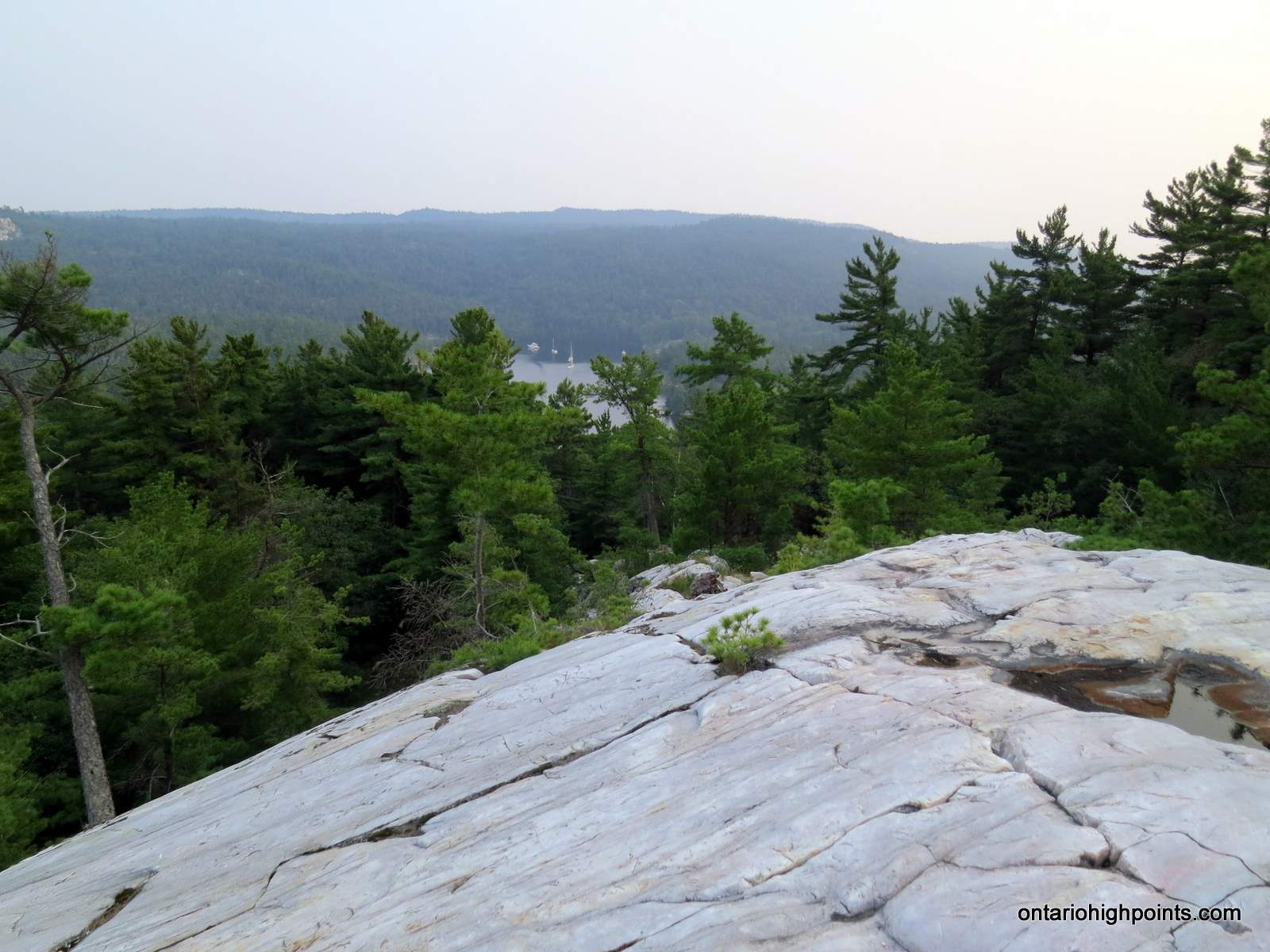
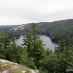
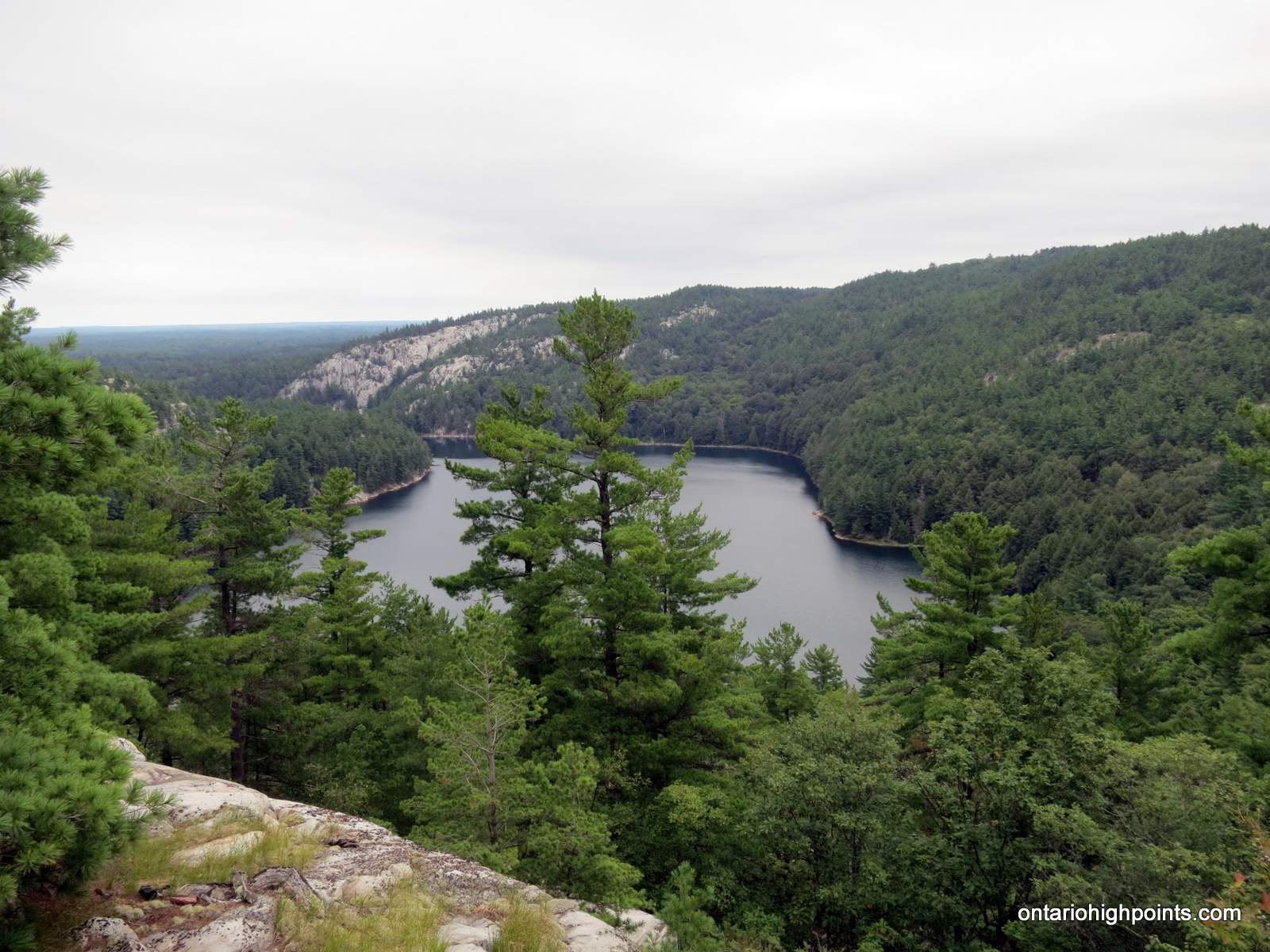
- View from atop the ridge
-
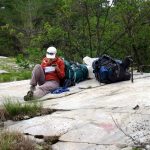
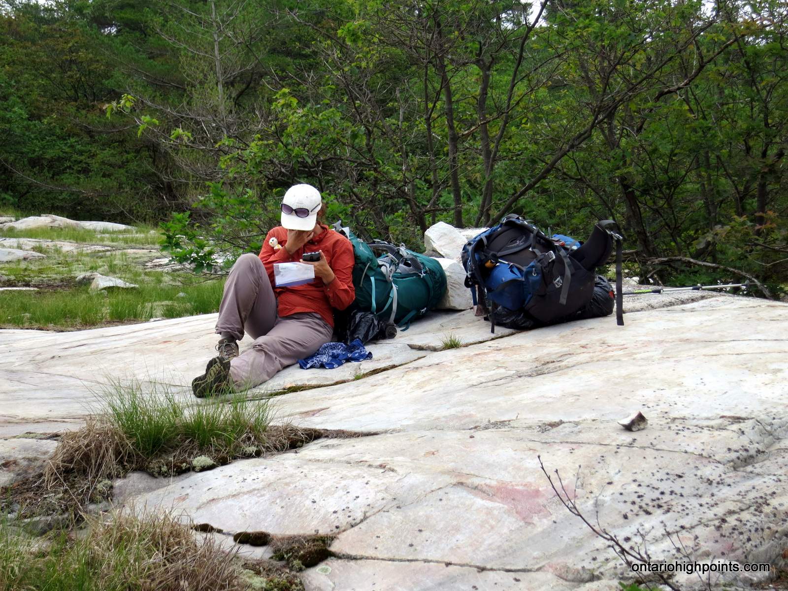
- Taking a break
-
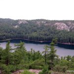
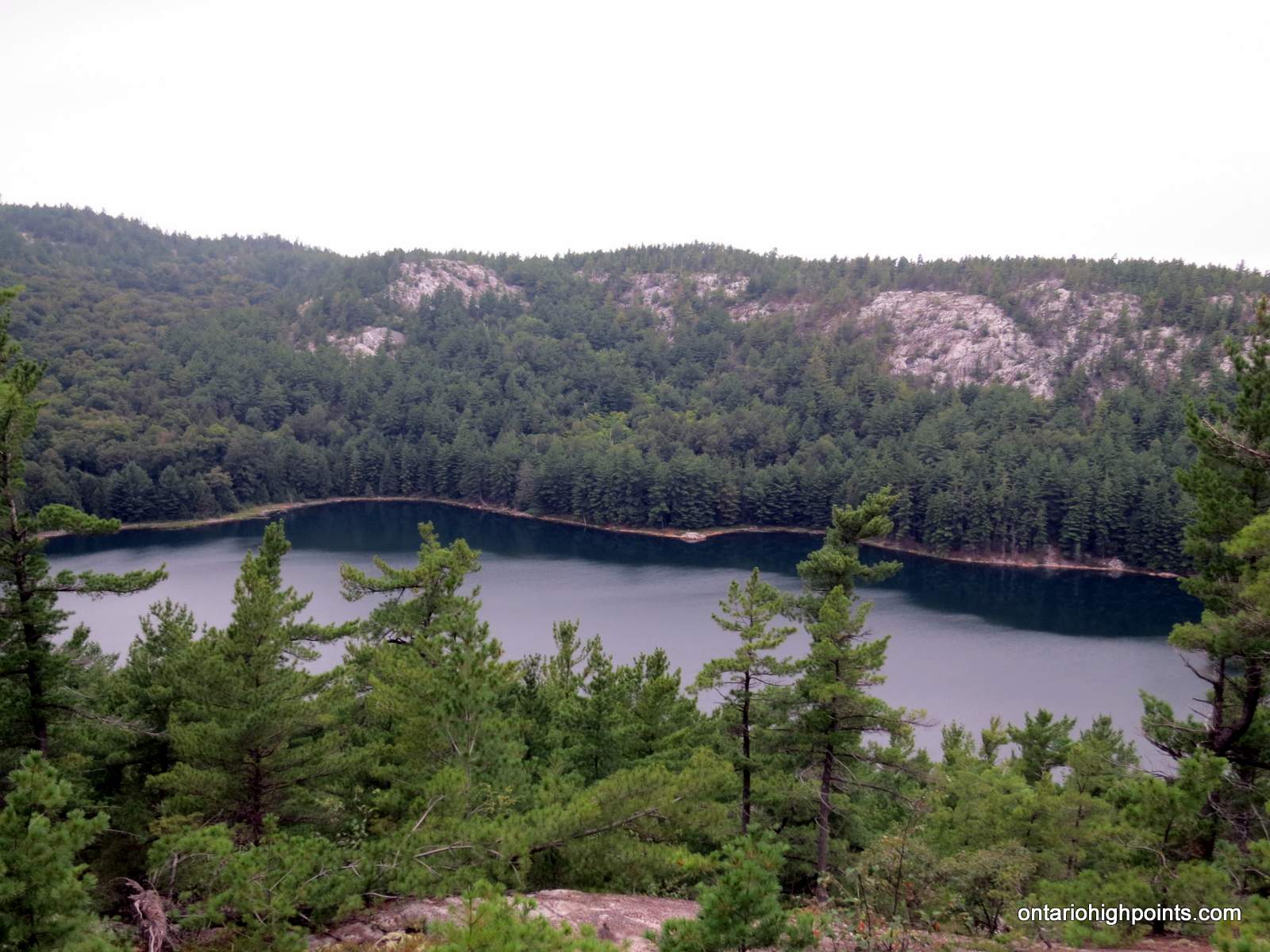
- Little Mountain Lake
-
- On the descent to Little Mountain Lake
-
- Our campsite (H33) on Little Mountain Lake
-
- View of Little Mountain Lake from our campsite (H33)
Day 4 – Little Mountain Lake (H33) to Silver Lake (H37):
-
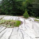
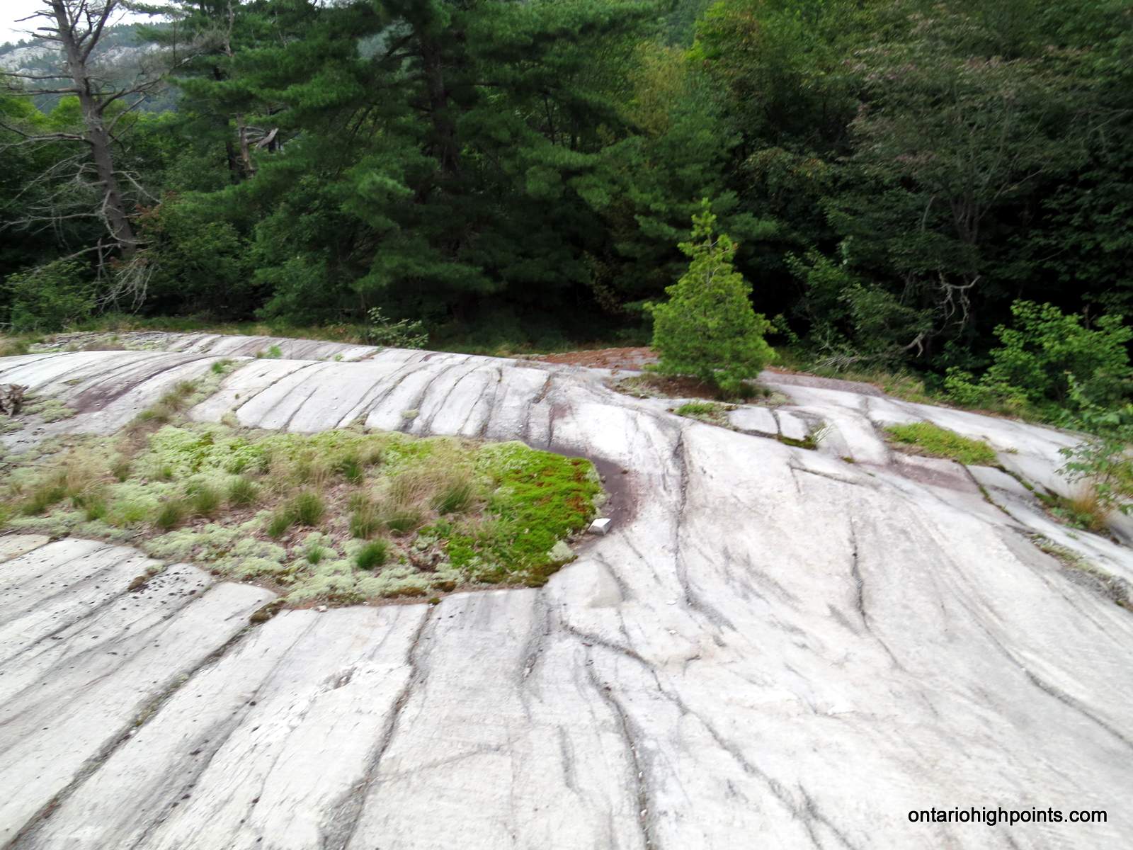
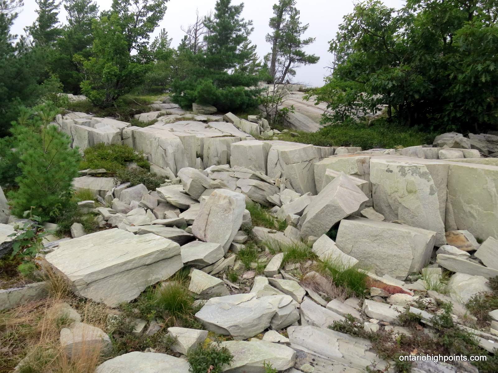
- Smooth quartzite bedrock common along this section of the hike
-
- La Cloche range mountain
-
- Looking back at Little Mountain Lake
-
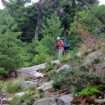
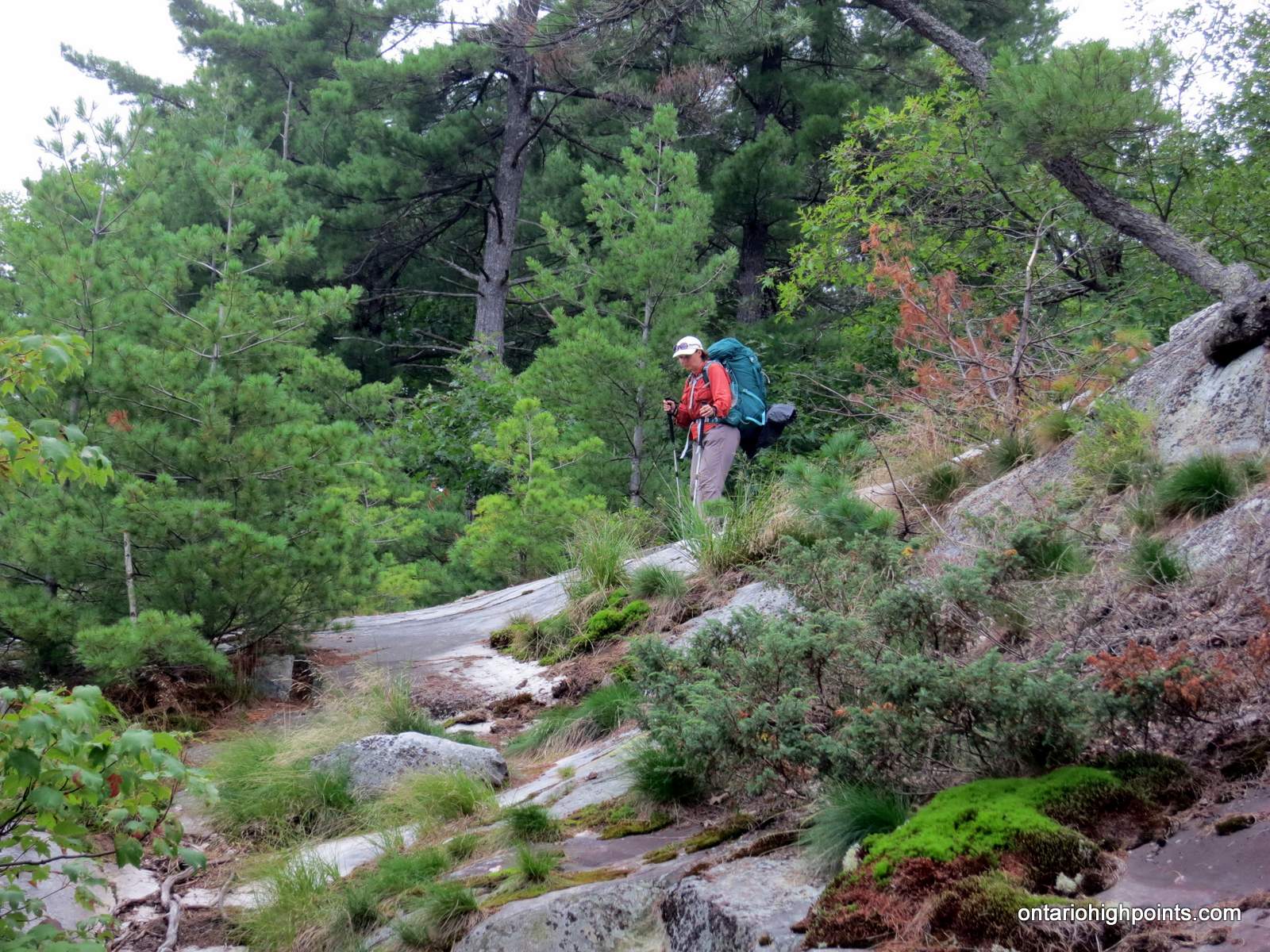
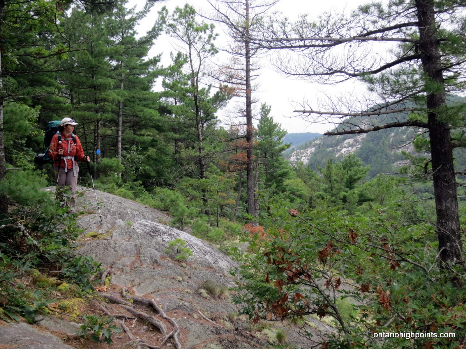
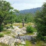
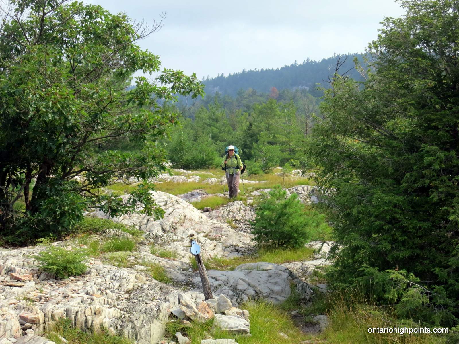
- Hiking the La Cloche Silhouette Trail
-
- Low cloud over Boundary Lake
-
- Easy hike along the smooth quartzite bedrock
-
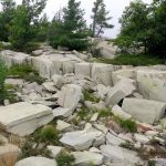
- Blocks of quartzite rock
-
- Silver Lake
-
- Our campsite (H37) on Silver Lake
-
- Silver Peak as seen from near Silver Lake
Day 5 – Silver Lake (H37) to Little Superior Lake (H49):
-
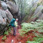
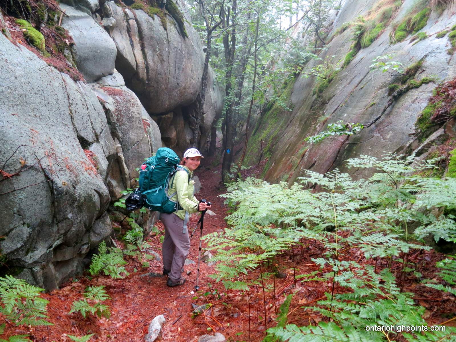
- Traversing a small steep sided canyon
-
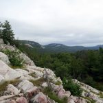
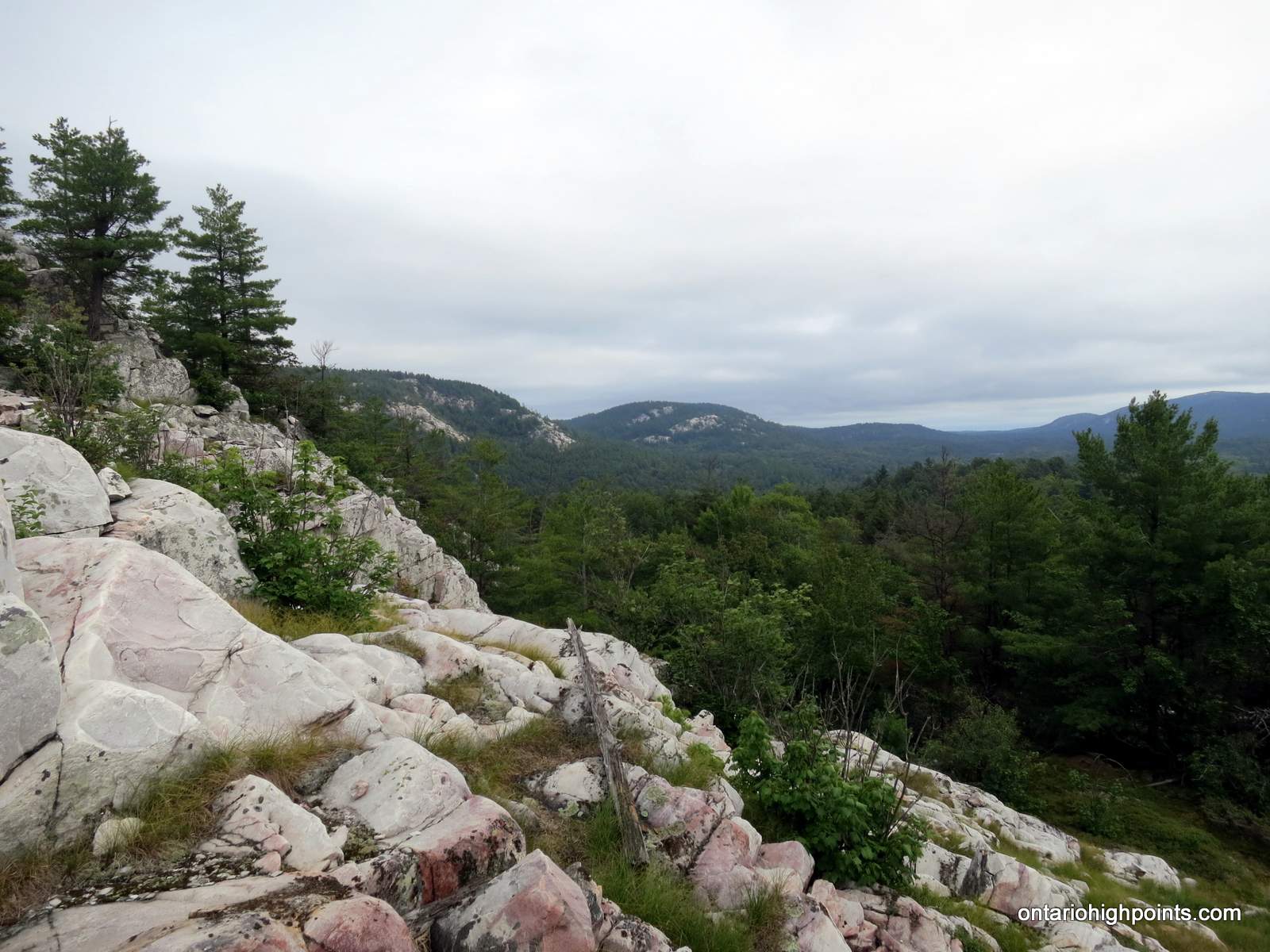
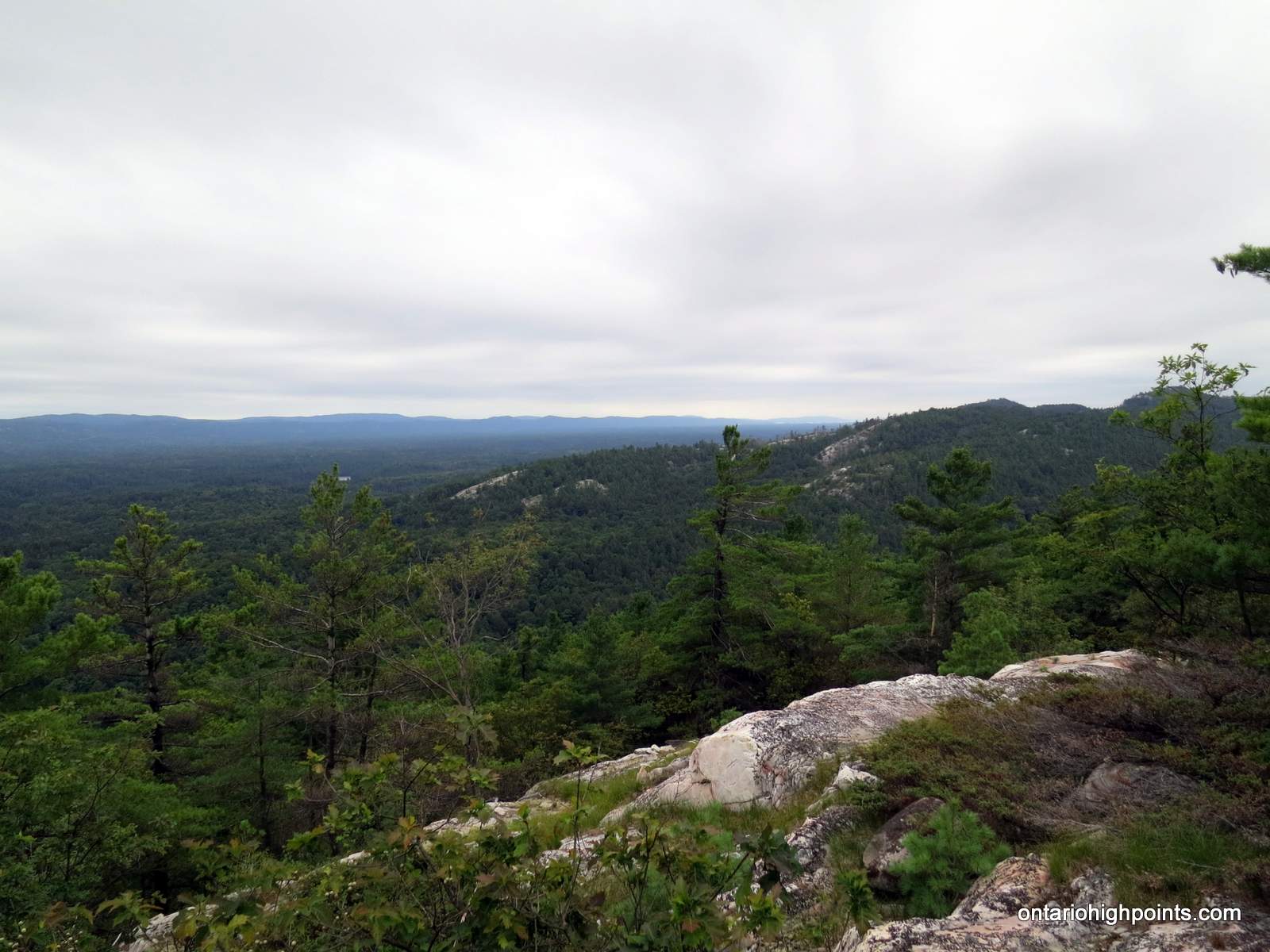
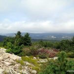
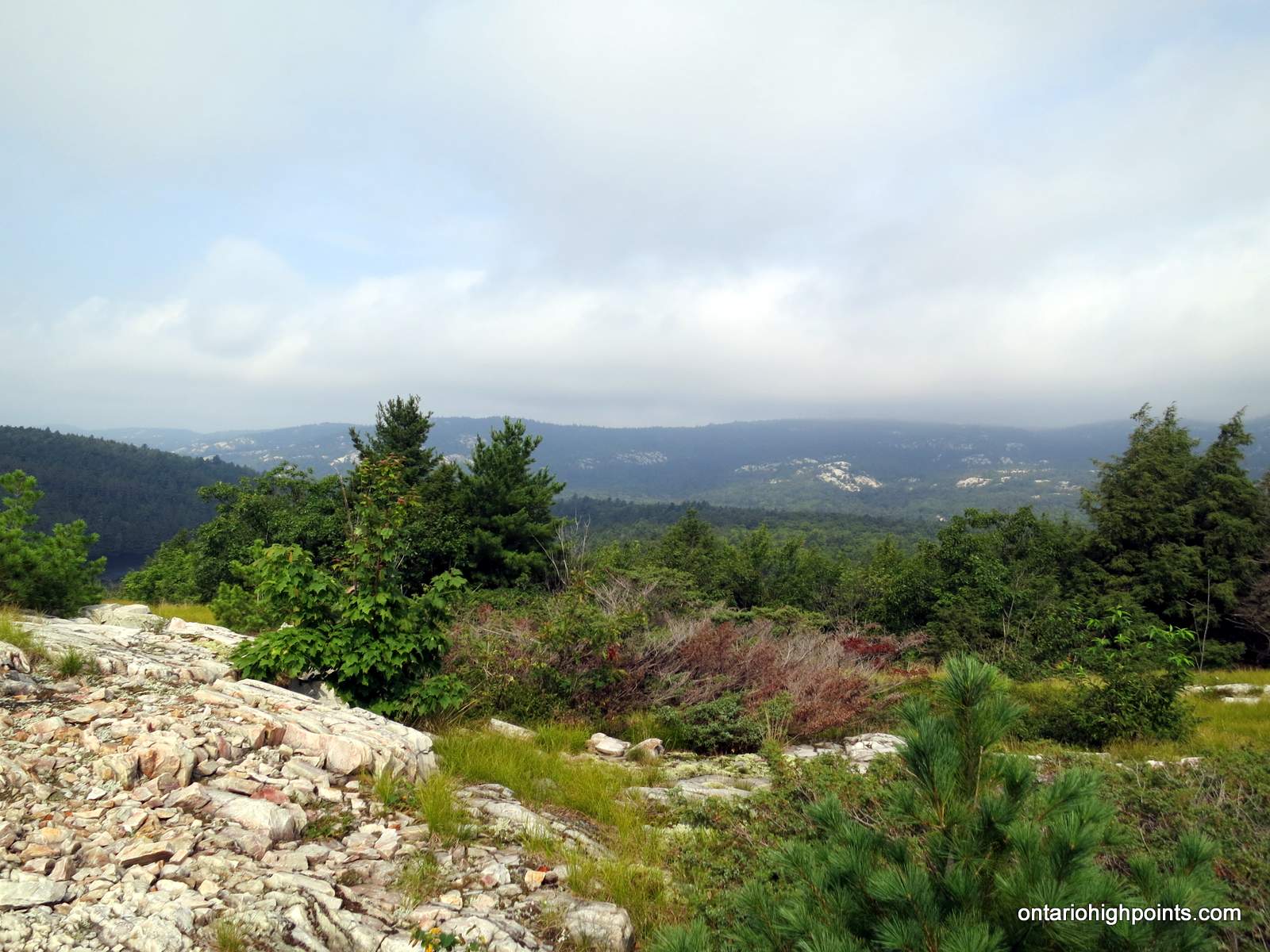
- Looking out at the La Cloche wilderness
-
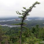
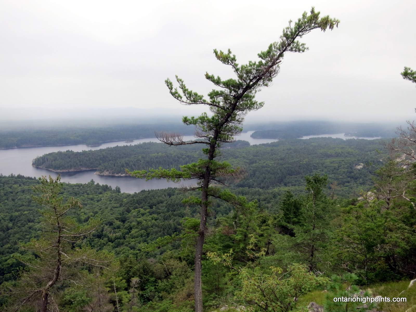
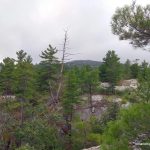
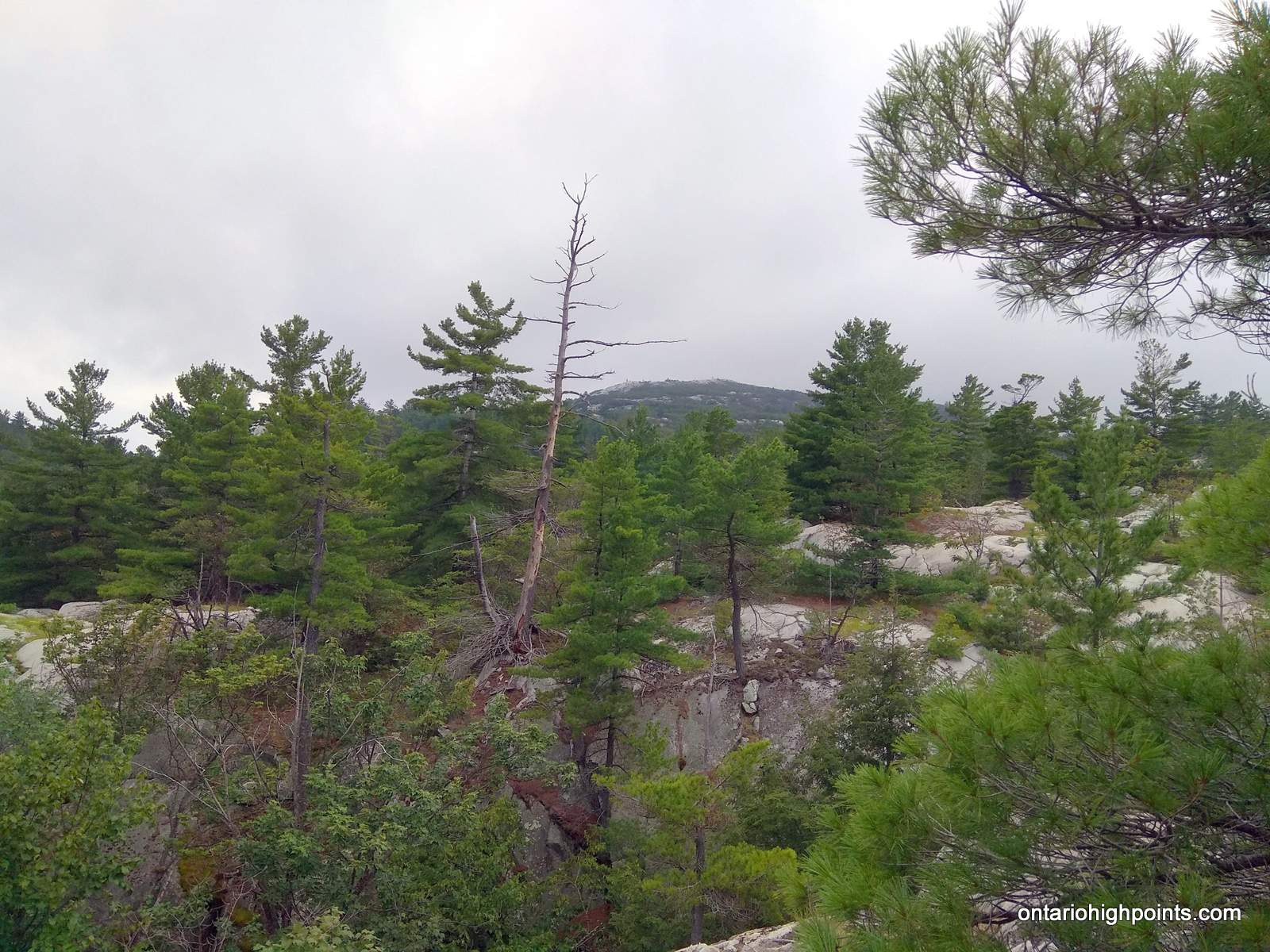
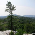
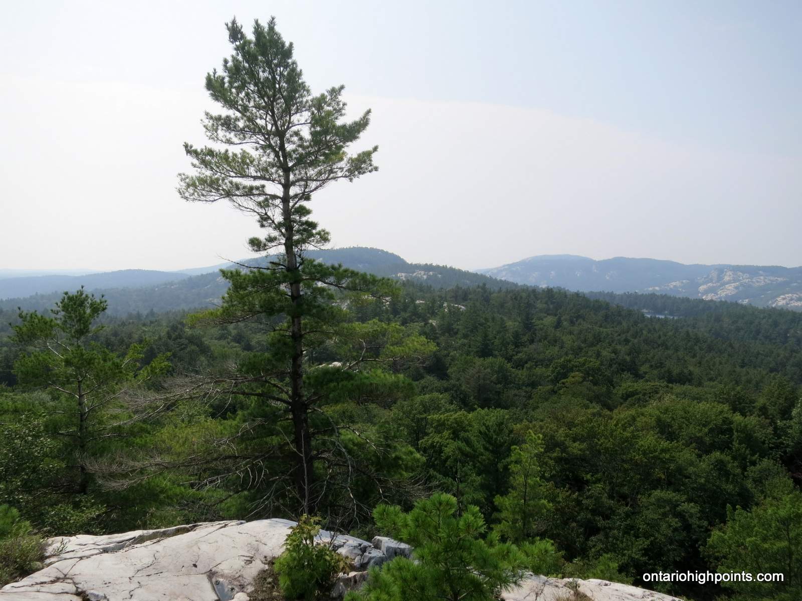
- Lone pine with Silver Peak in the background
-
- Trail section near Bunnyrabbit Lake
-
- Out in the open
-
- Picturesque Heaven Lake
-
- Shingwak Lake
-
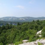
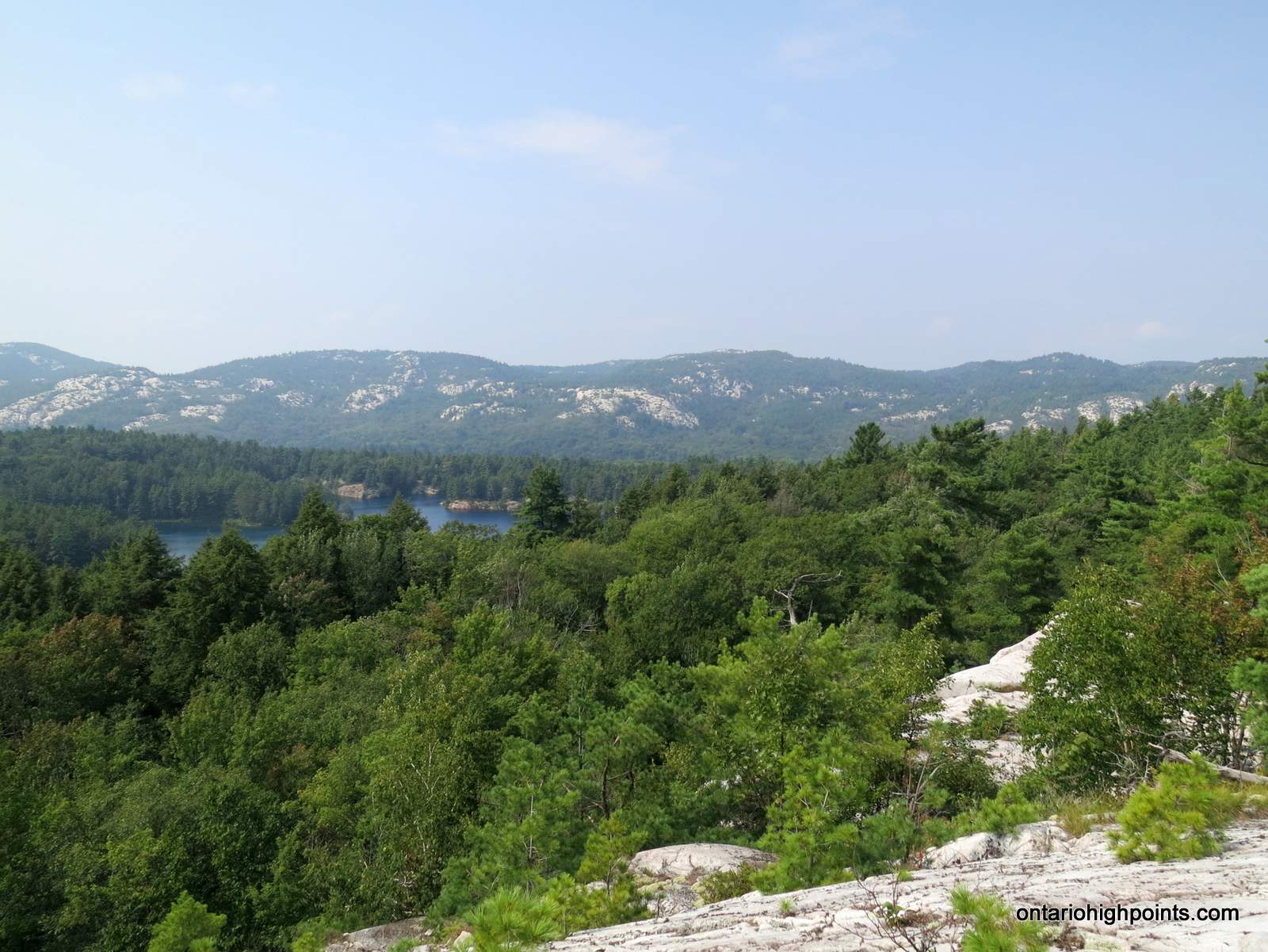
- La Cloche Mountain range
-
- La Cloche mountain range as seen near Proulx Lake
-
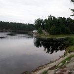
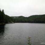
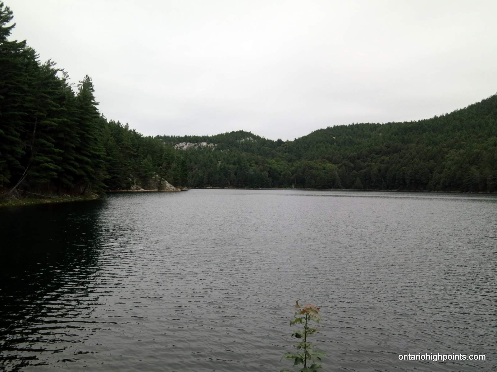
- Little Superior Lake
-
- A chilly swim in Little Superior Lake
-
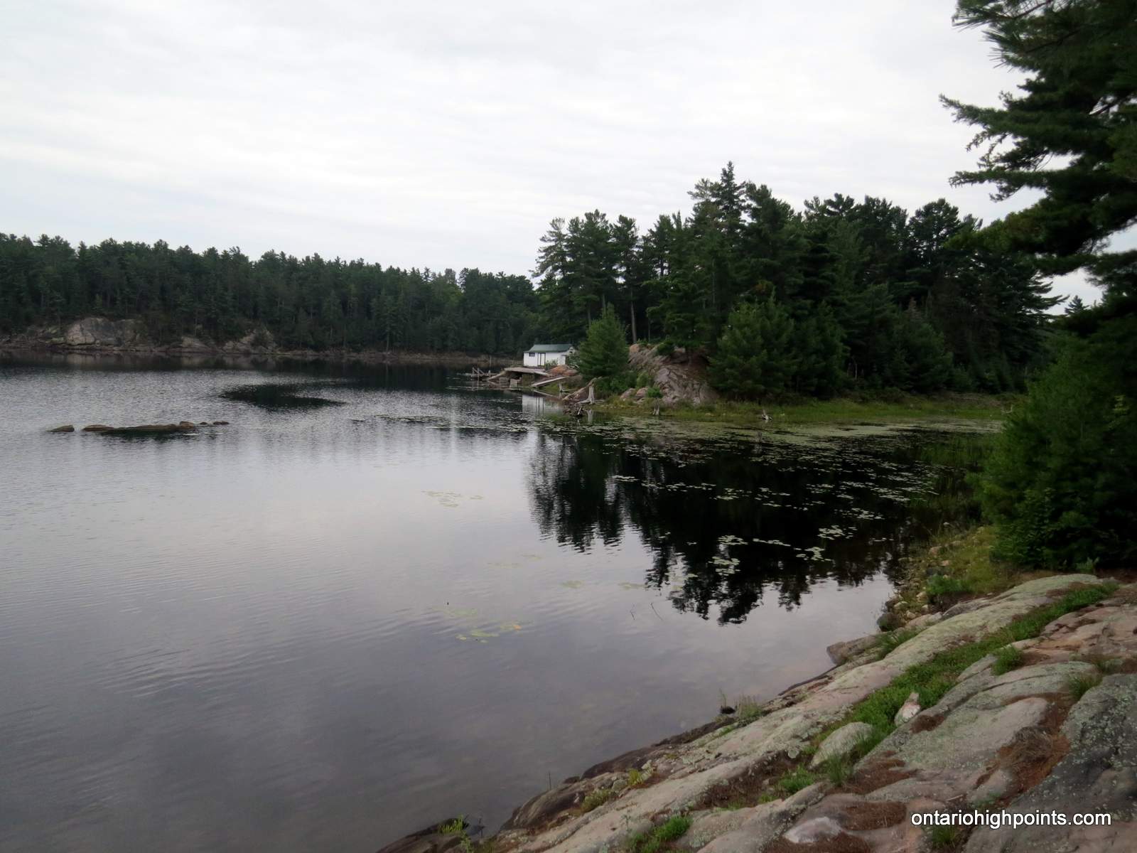
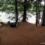
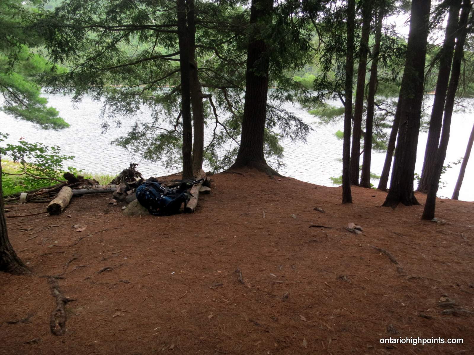
- Our campsite (H49) on Little Superior Lake
Day 6 – Little Superior Lake (H49) to George Lake:
-
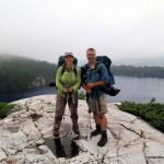
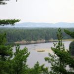
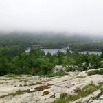
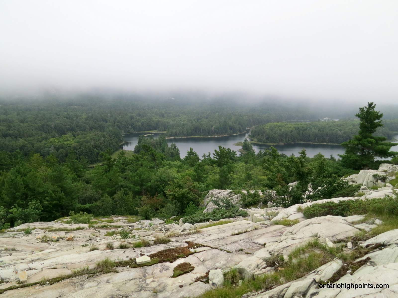
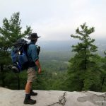
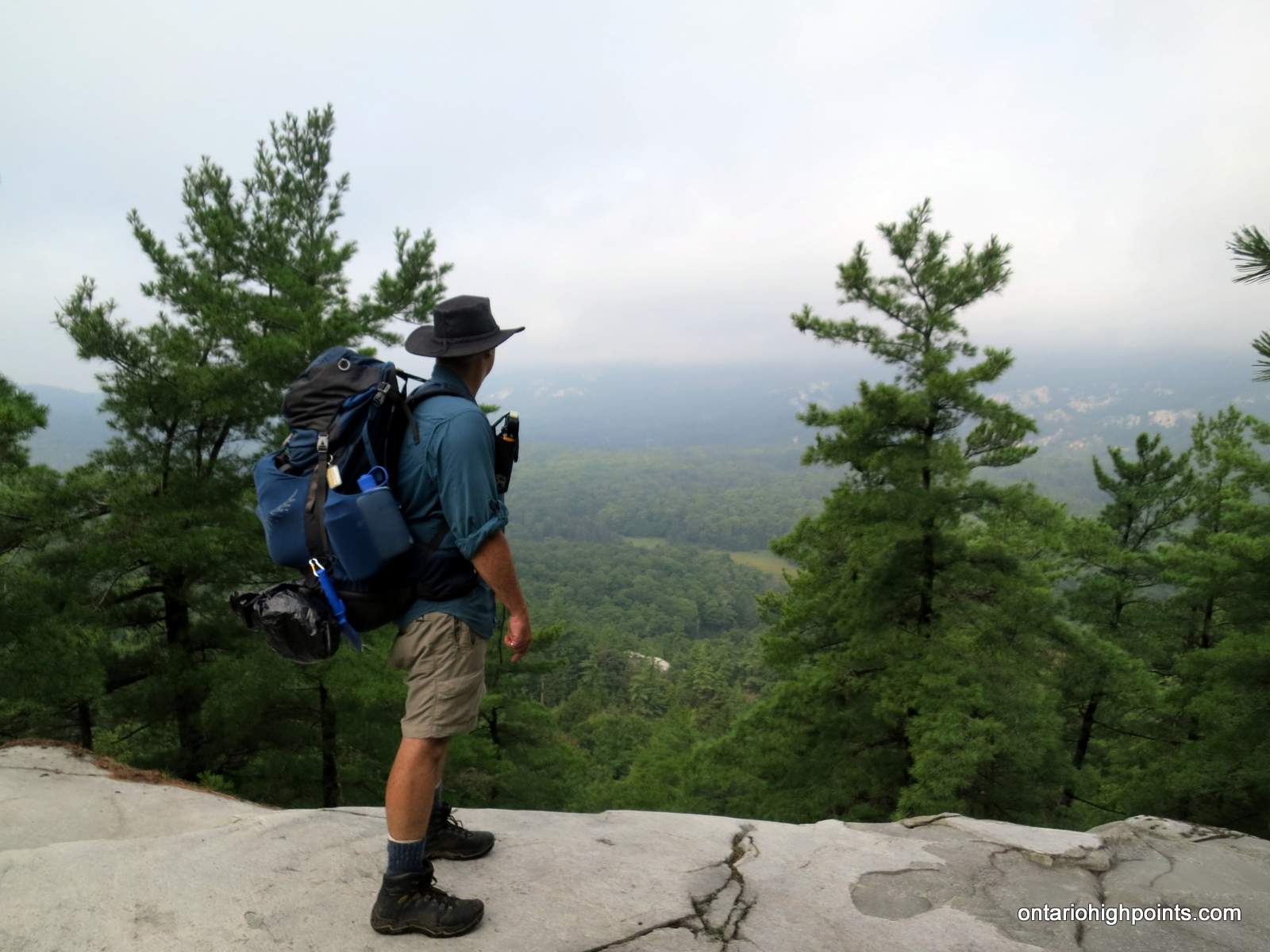
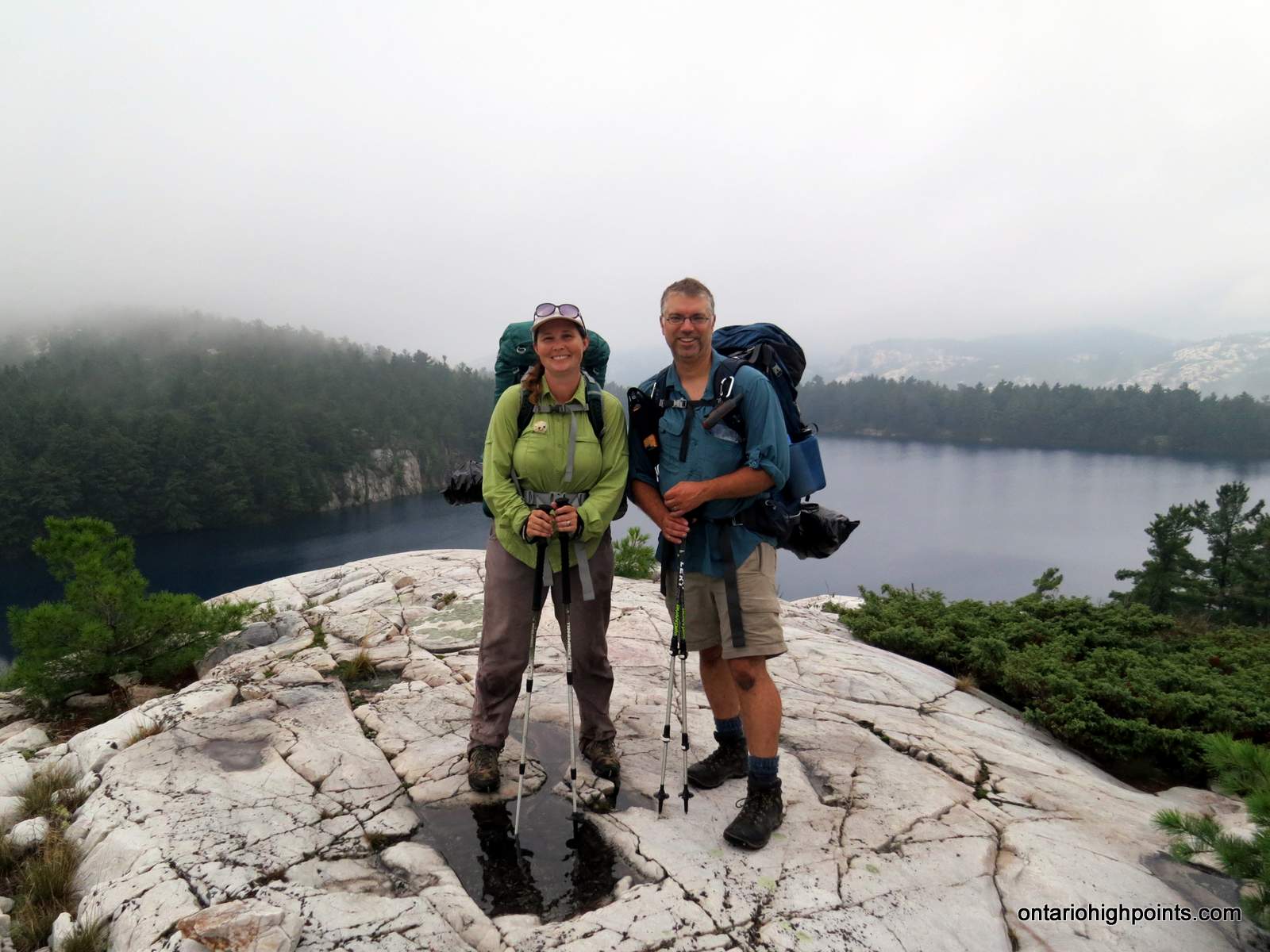
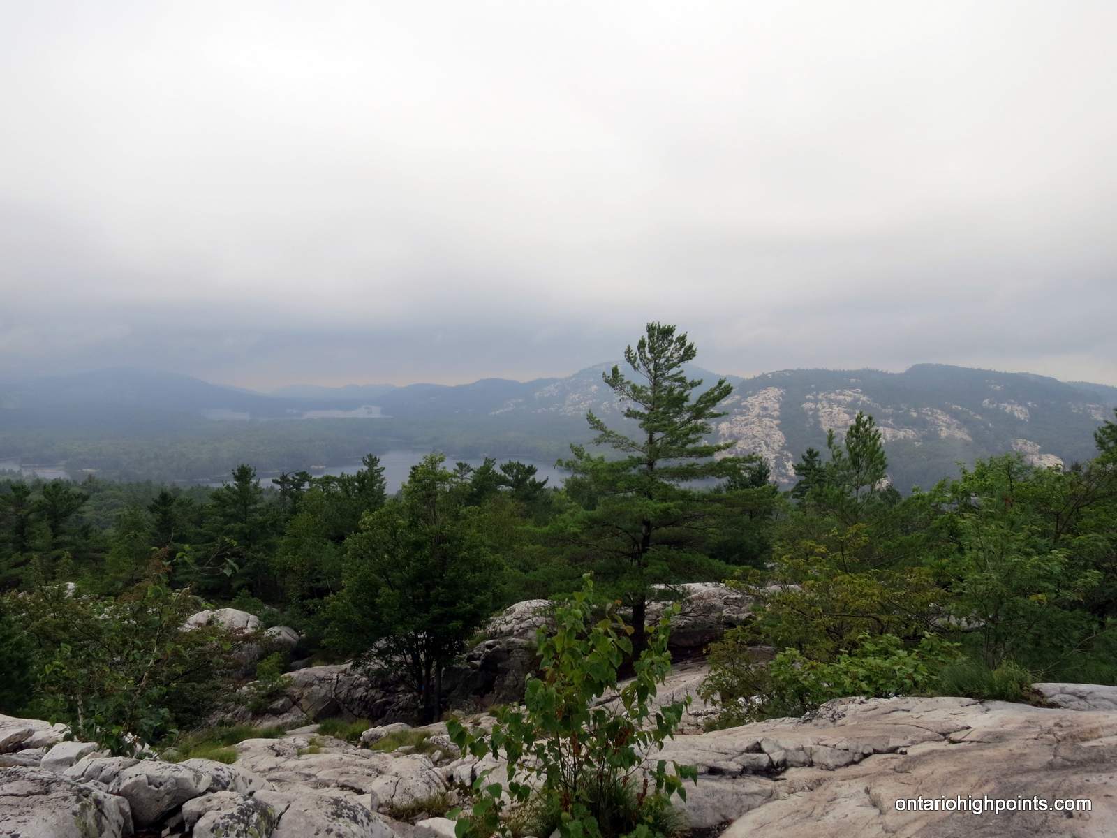
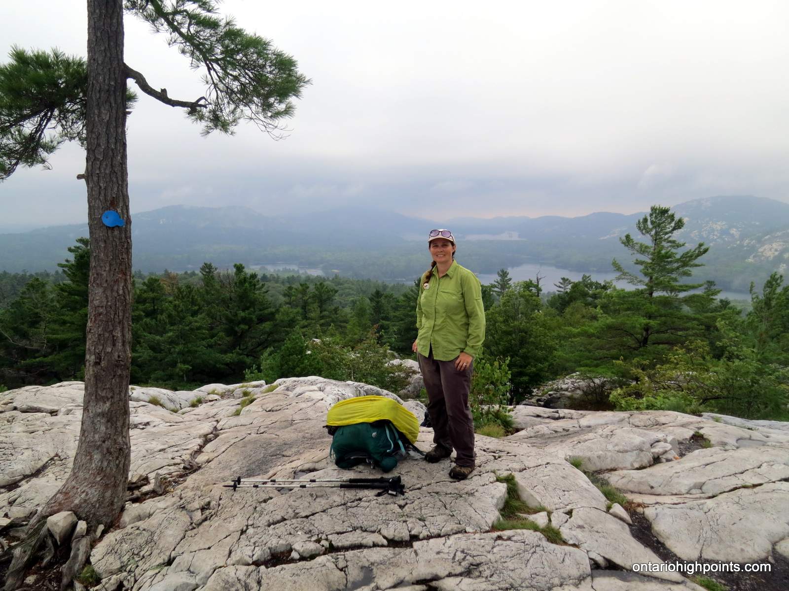
- At the lookout over Little Superior Lake
-
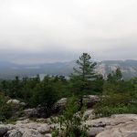
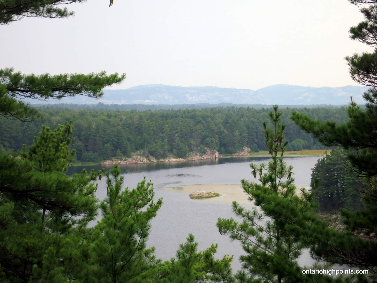
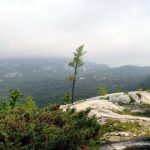
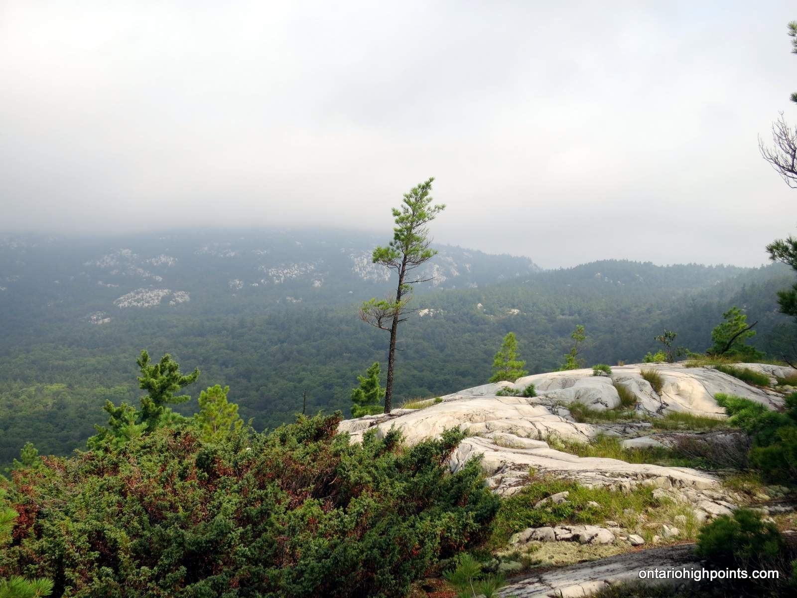
- Hazy view from the top of The Crack
-
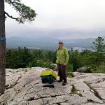
- Rest stop at the top of The Crack
-
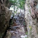
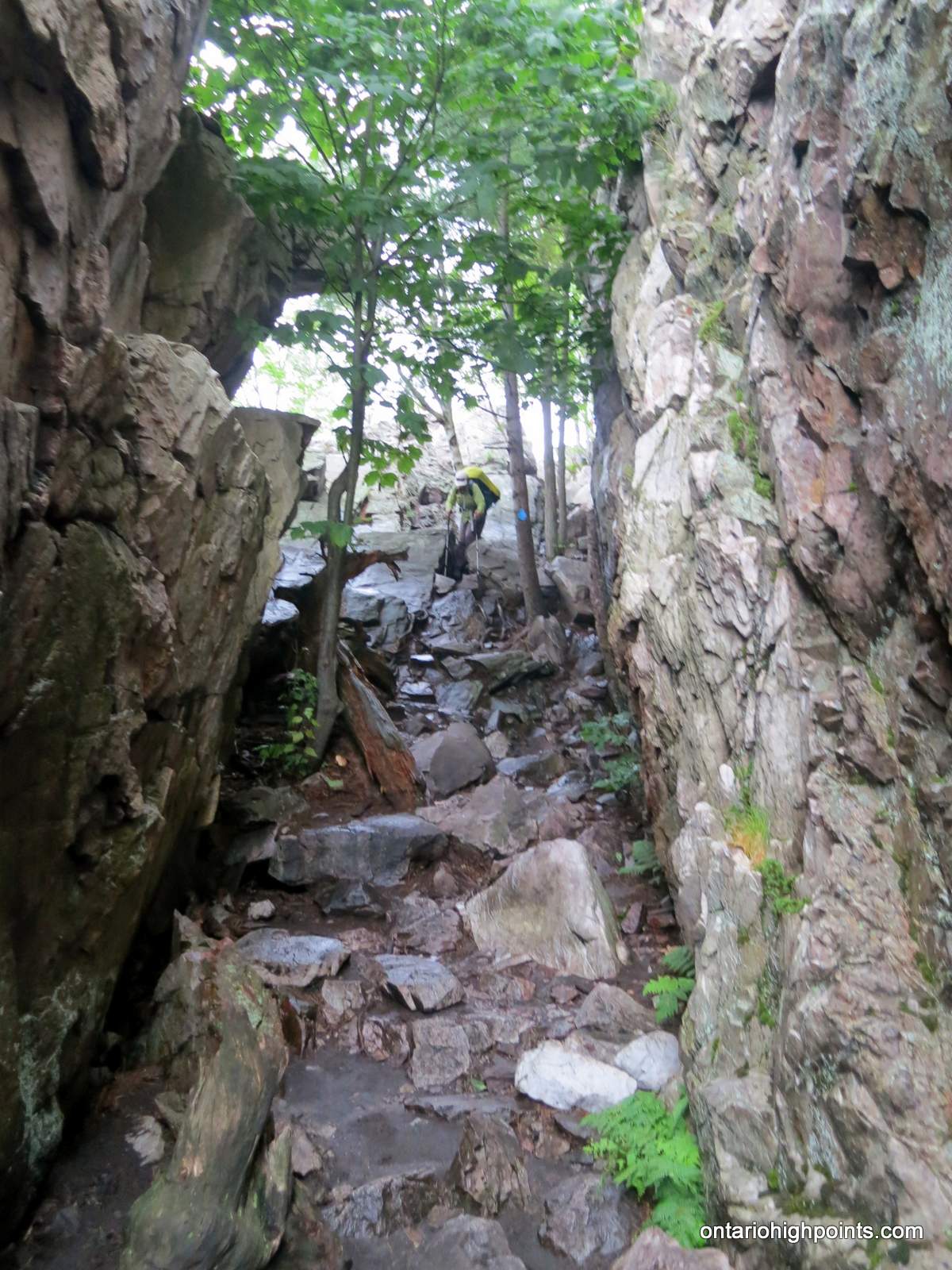
- The trail through The Crack
-
- Descending The Crack
-
- The bottom of The Crack
-
- The Crack in the background
-
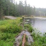
- Partially submerged bridge over Kakakise Creek
-
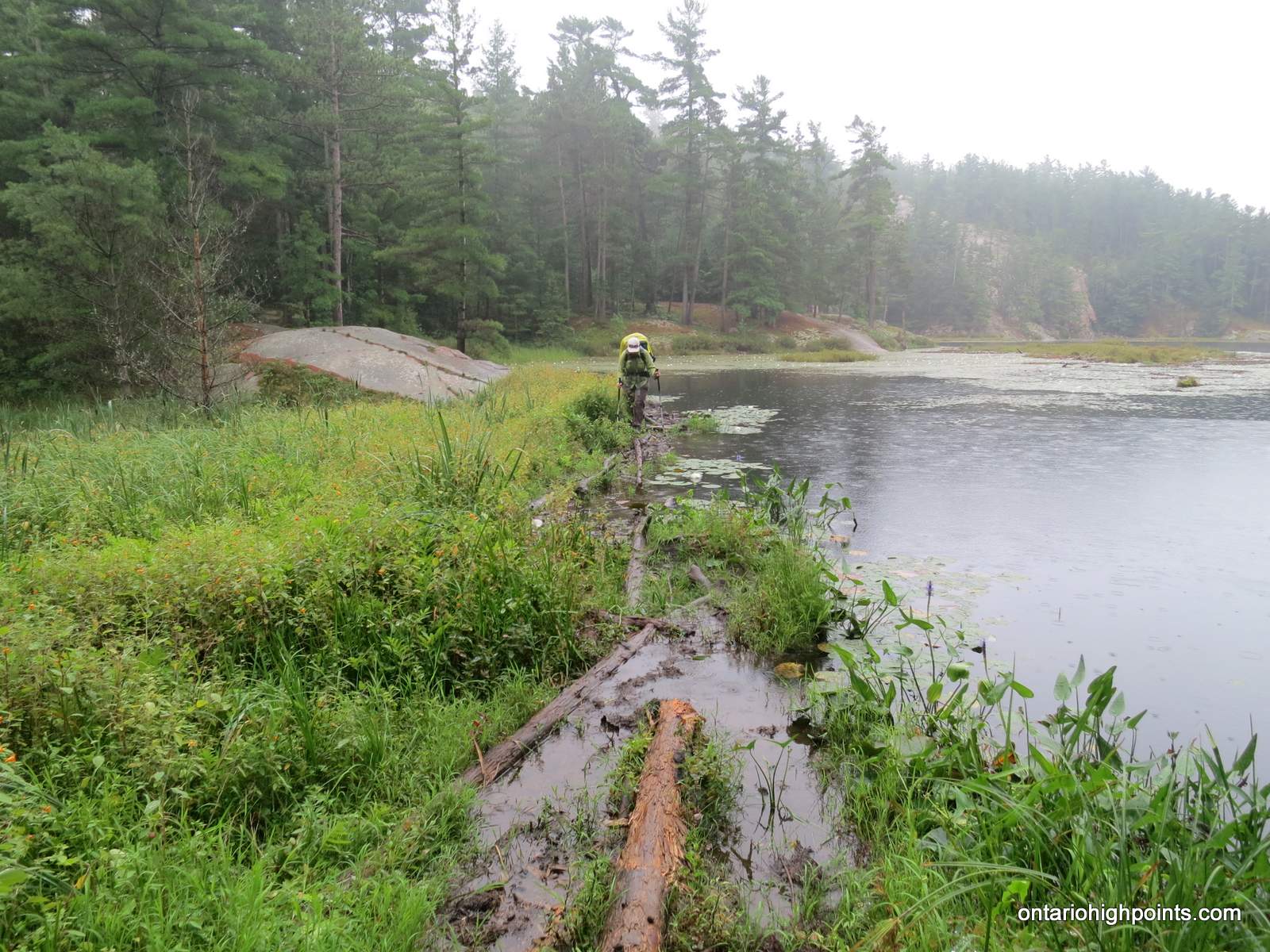
- A soggy crossing at the beaver dam on Wagon Road Lake
-
- The view overlooking Little Sheguiandah Lake (and George Lake)
-
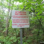
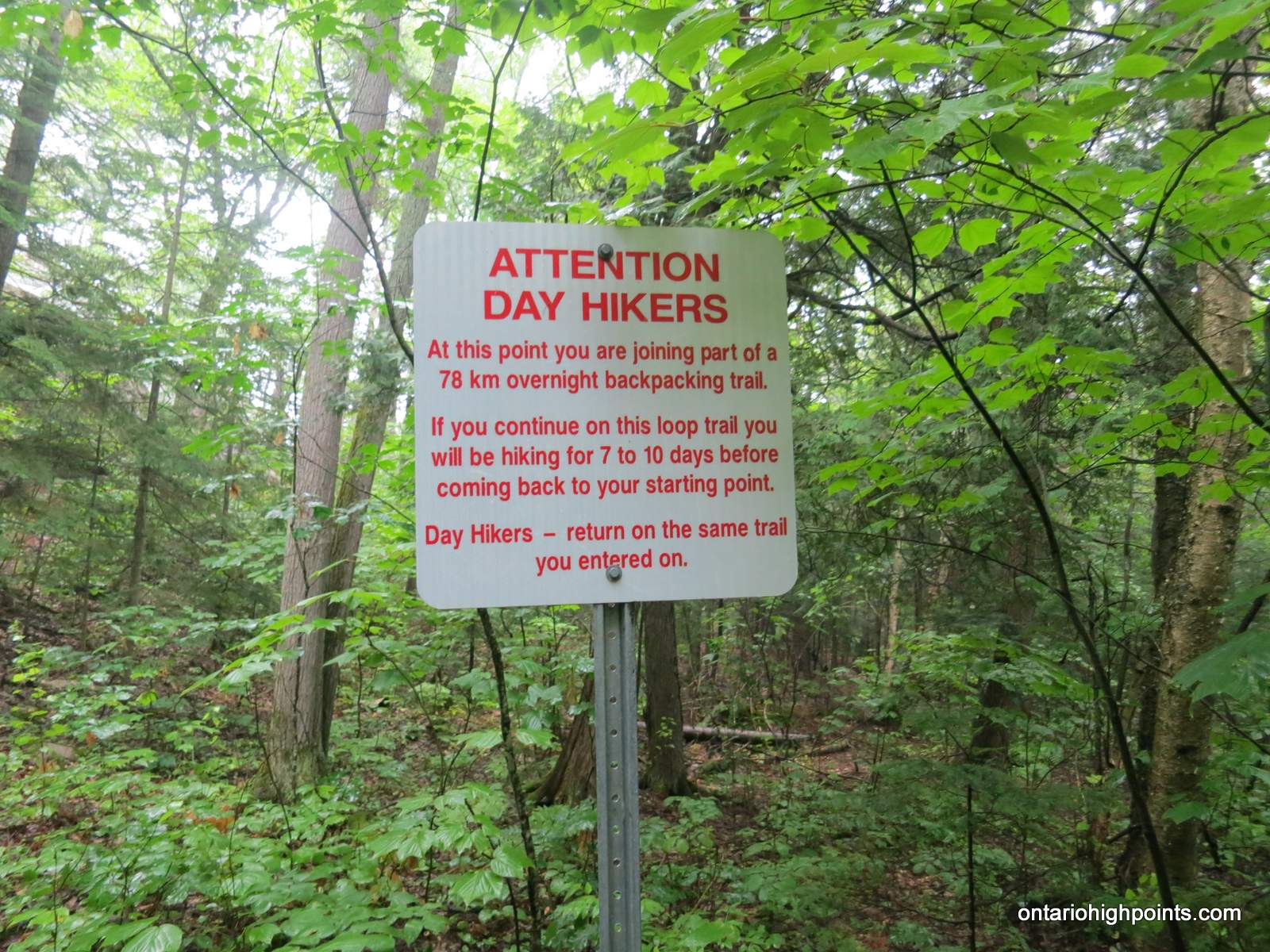
- A caution to day hikers
-
- Arriving at end the of the trail
-
- End of the La Cloche Silhouette Trail (going clockwise)
Videos:
GPS Tracklog (GPX Format):
La Cloche Silhouette GPS Track
Related Links:
Killarney Provincial Park