Head Lake Peak West
Posted by Derek on Jan 31, 2017
Head Lake Peak West
Height: 2133 feet / 650 meters
Lat/Lon: N48.2982 W90.1613
Clean Prominence: 262 feet / 80 meters
Line Parent: Head Lake Peak East
Key Col: N48 17.420 W90 08.780 (1870ft / 570m)
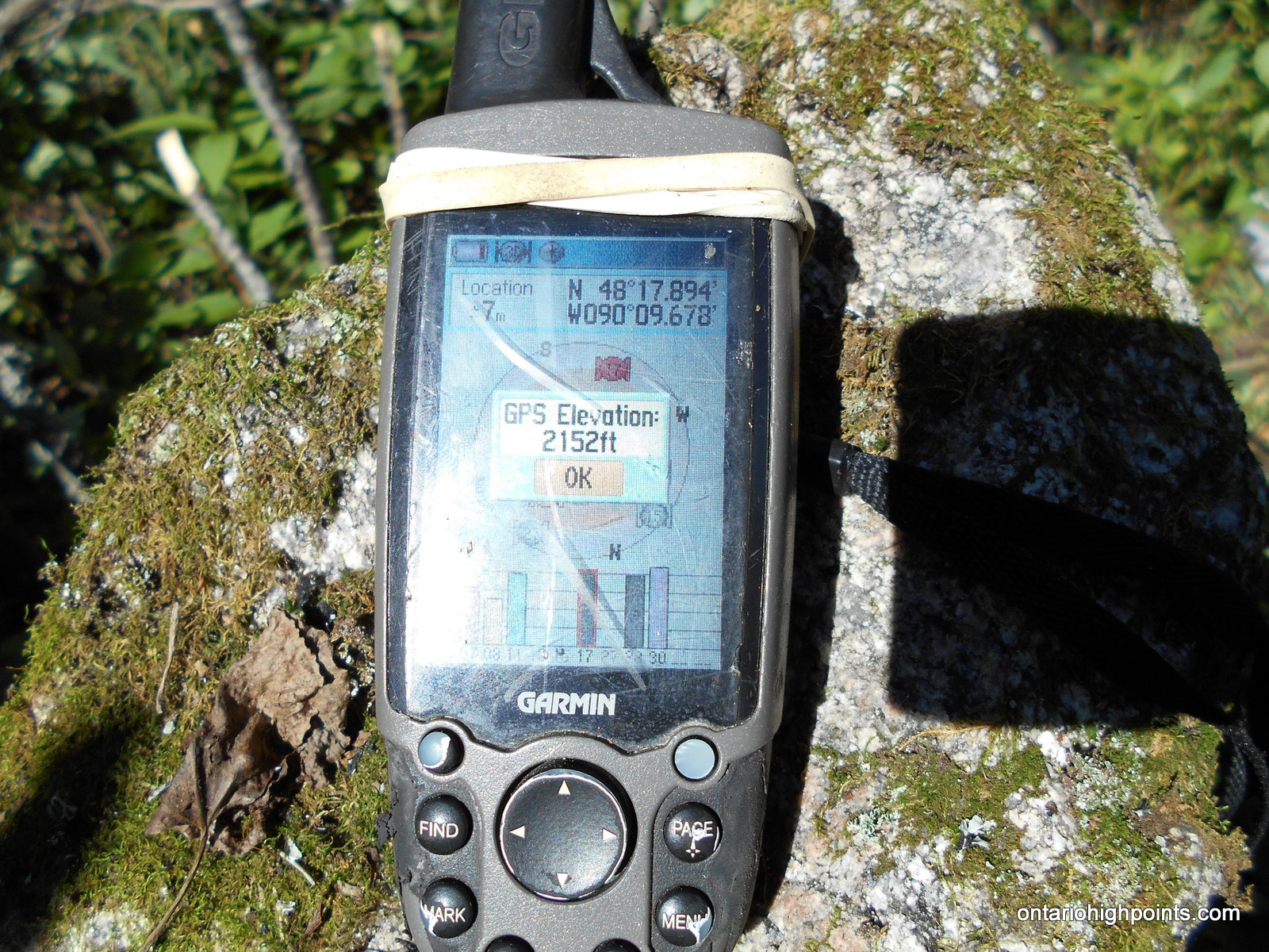
GPS recorded height: 2152 feet / 656 meters
Date Summited: July 29, 2016
Overview:
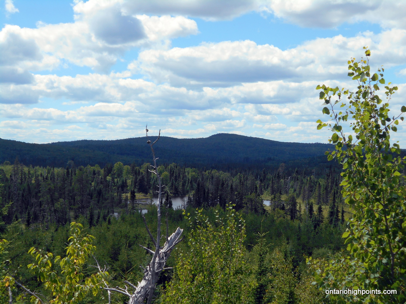
Head Lake Peak West is the westernmost peak in the Head Lake Peak grouping; 3 peaks 65 km West of Thunder Bay. The Peak is located due north of the lake from which it is named: Head Lake, 3.0 km due west of it’s higher neighbour Head Lake East Peak and 5.1 km west-southwest from Tower Mountain, which is the highest mountain in the area.
Directions:
From Thunder Bay, take Hwy 11/17 west to Kakabeka Falls. Immediately past the falls, turn left onto Hwy 590 and head south, then west along the road. 13.4 km from the intersection with Hwy 11/17 turn right onto Boreal Road. Despite being a gravel road, Boreal Road is well graded and wide. Stay on Boreal Road for 22.8 km until reaching the intersection with Marks Lake Road. Turn left (southwest) onto Marks Lake Road.
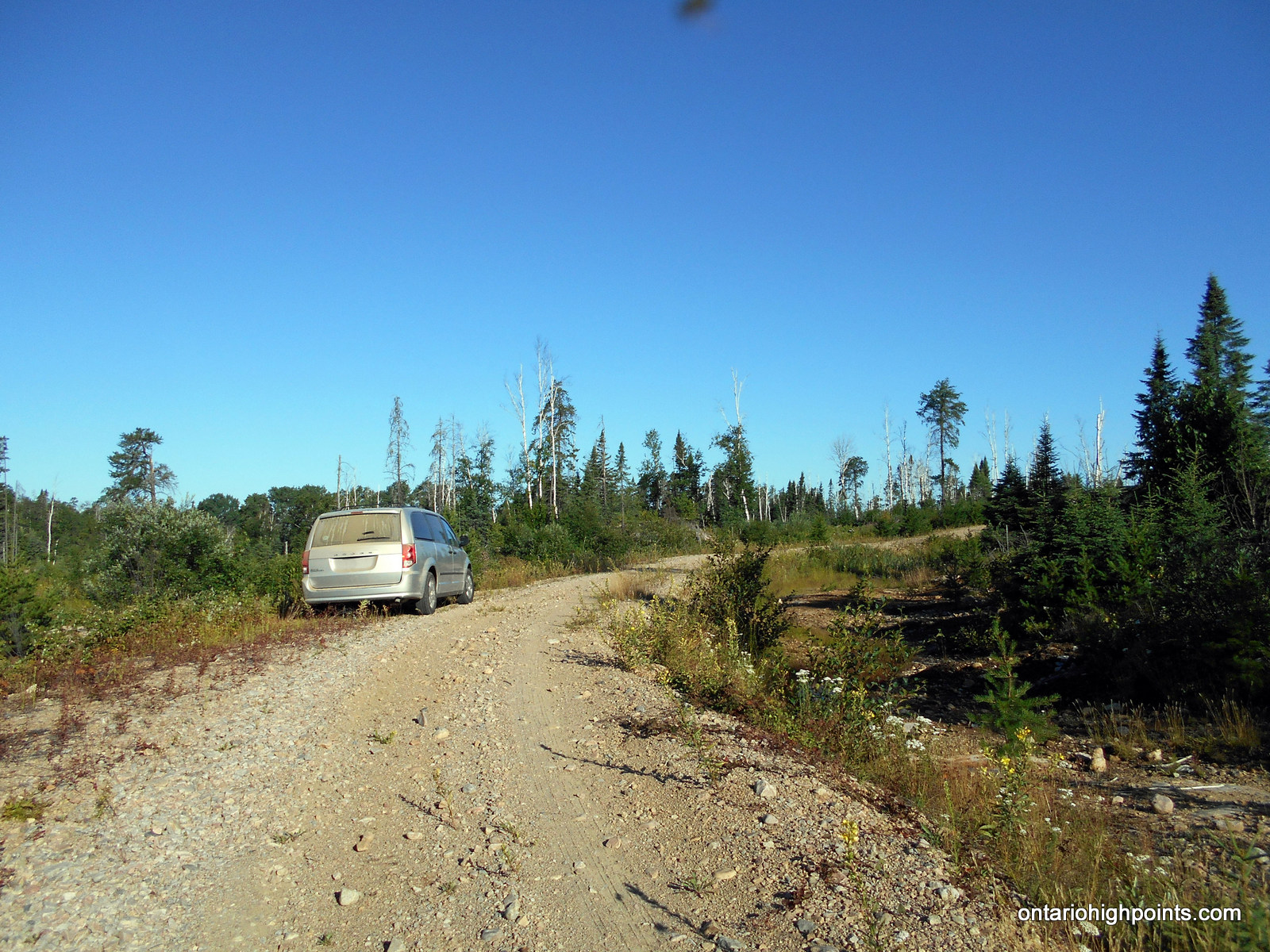
Stay on Marks Lake Road for 9.1 km until arriving at a turnoff onto a single lane gravel road (at N48 21.030 W90 10.552). Turn left (south) and follow the road for 4.8 km to a roadside parking spot. (There are various possibilities for parking, this is just where we chose to park). Follow the road south for 700 meters to where the road starts to turn west. This is the starting point for the bushwhack.
Bushwhack southeast for 2.5 km (2.0 km as the crow flies) to the summit. The bushwhack is initially easy going, through open forest, with moss matted floor, but as you approach the summit it becomes increasingly difficult due to thickets of alders.
View a larger version of the map
Trip Summary:
0.0 km – Turned south onto gravel road from Marks Lake Road (8:30 AM)
4.8 km – Roadside parking (8:49 AM)
0.0 km – Departed roadside parking (9:01 AM)
0.7 km – Started bushwhack southeast to Head Lake West Peak (9:15 AM)
3.3 km – Arrived at summit of Head Lake West Peak (10:55 AM)
3.3 km – Departed summit (11:30 AM)
6.7 km – Arrived back at roadside paring (1:24 PM)
Gallery:
-
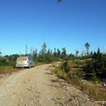
- Roadside Parking
-
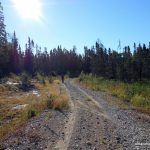
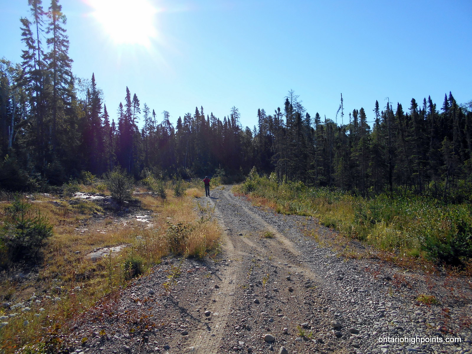
- Hiking to the start of the bushwhack
-
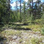
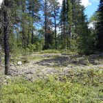
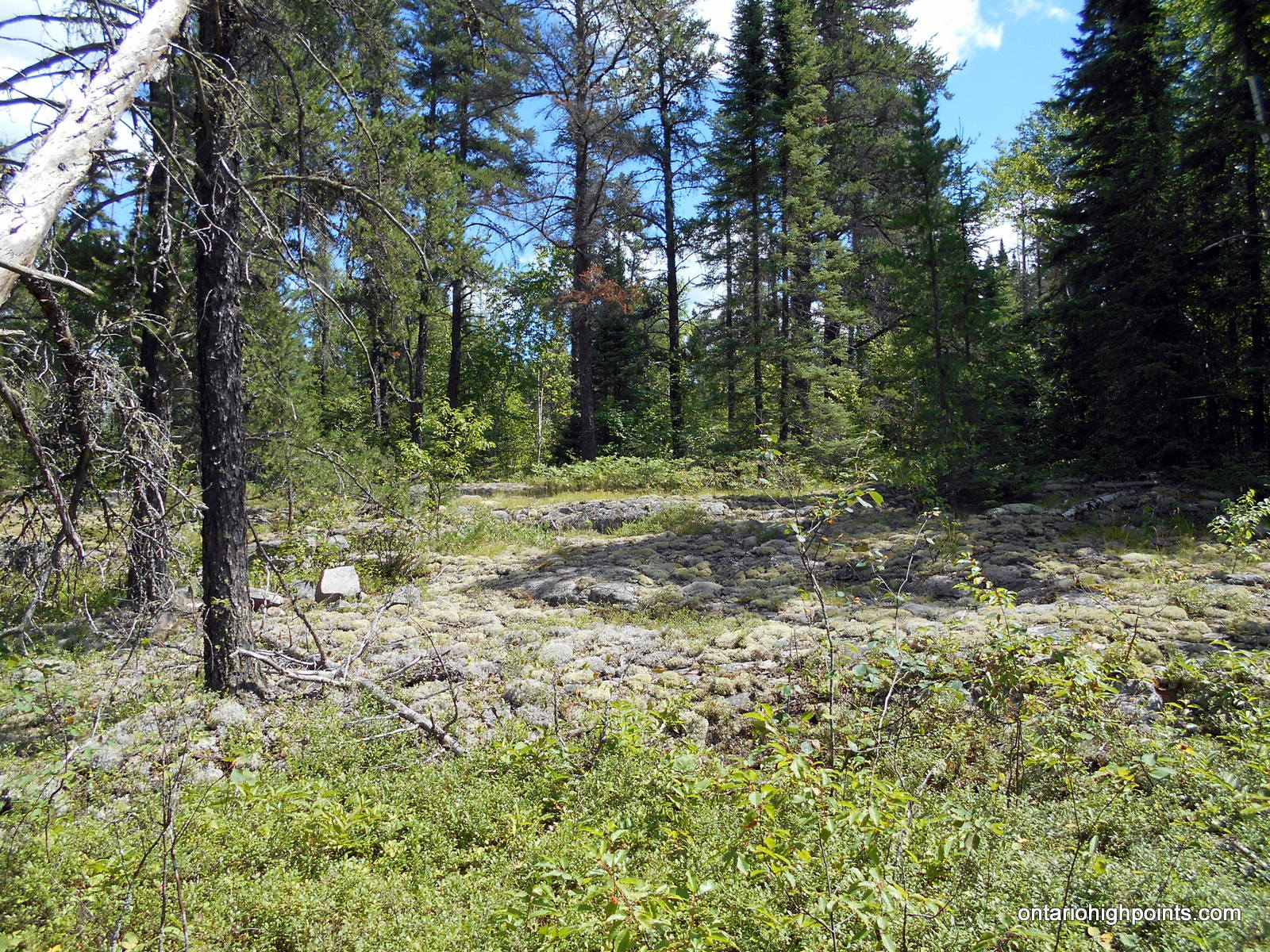
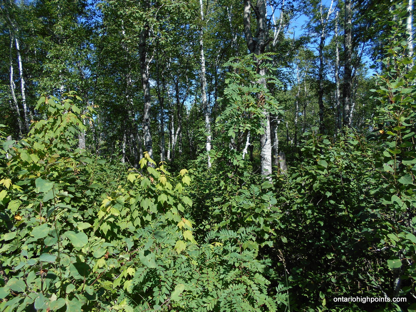
- Start of the bushwhack – open forest
-
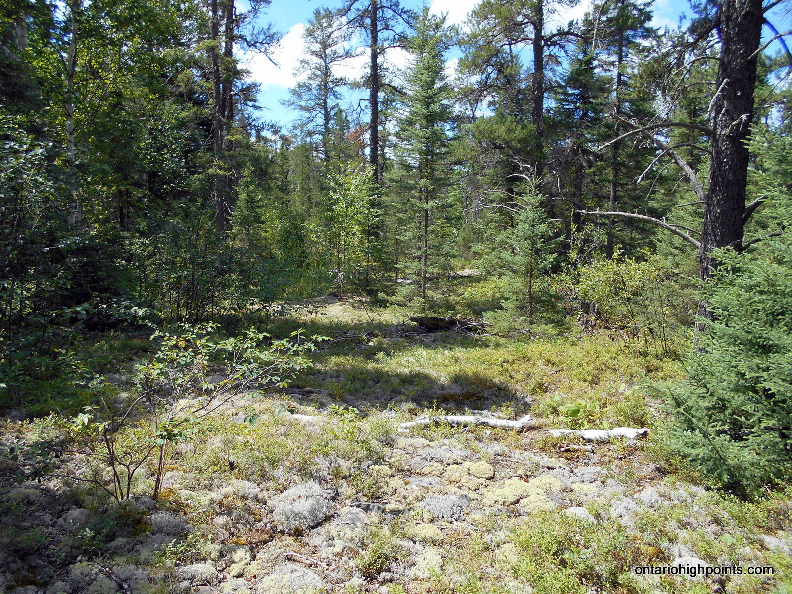
- Moss/lichen covered rock outcrops
-
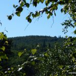
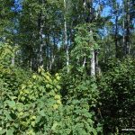
- Head Lake West Peak appears through the trees

-
- Summit of Head Lake West Peak
-
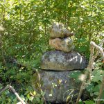
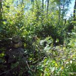
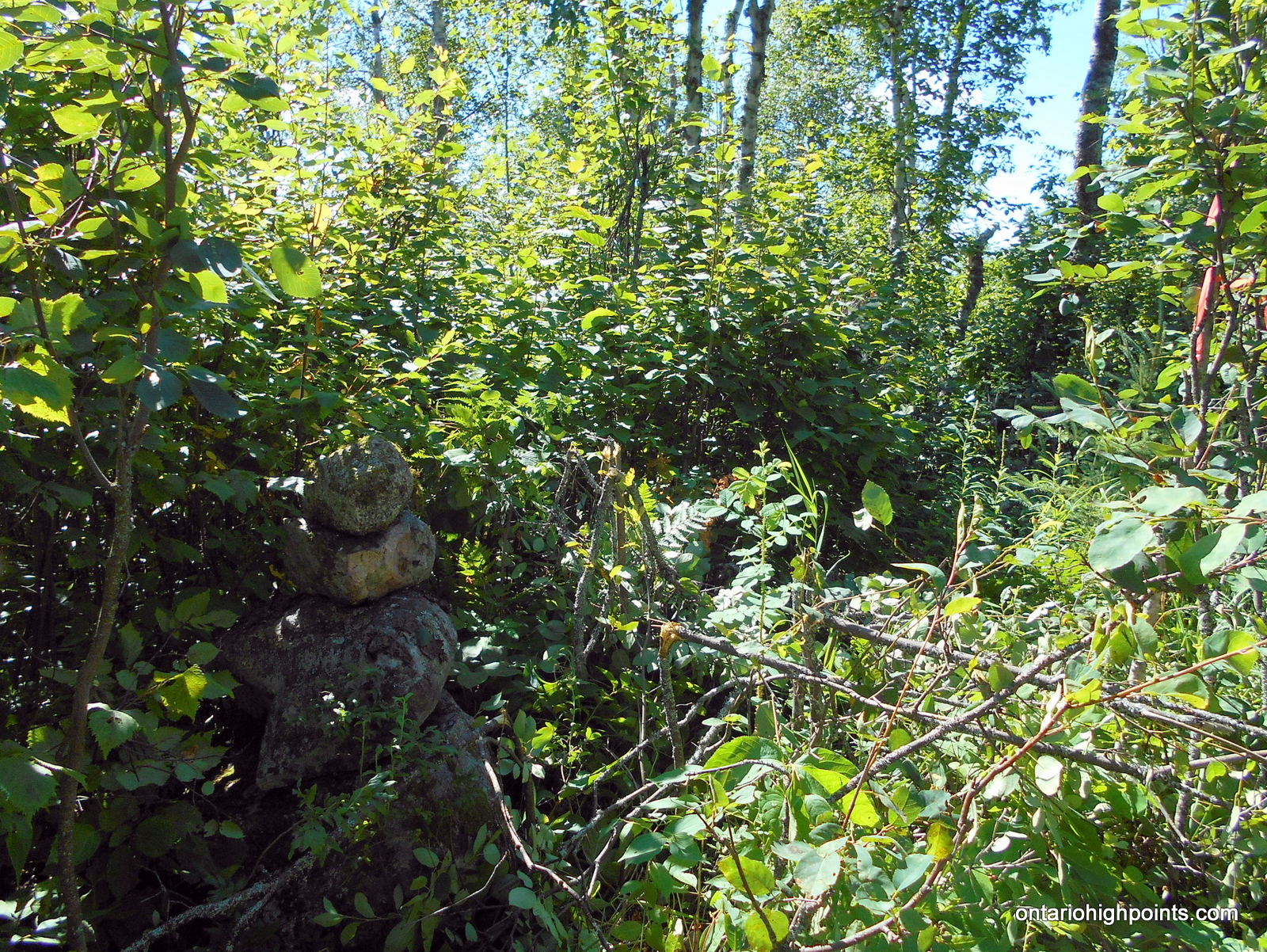
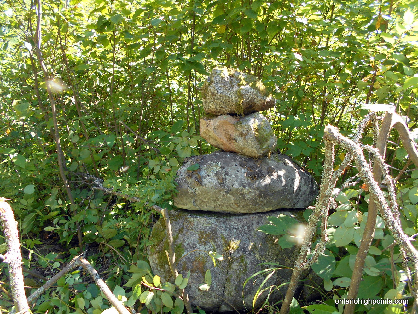
- The cairn we built marking the summit
-
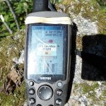
- GPS elevation
-
- Dense forest understory at the summit
-
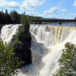
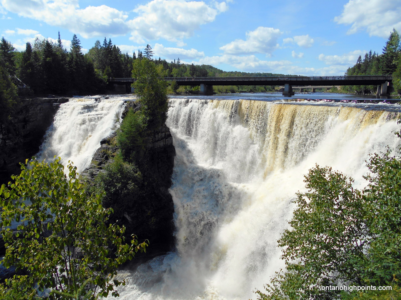
- Kakabeka Falls
-
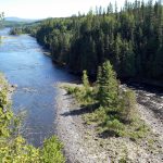
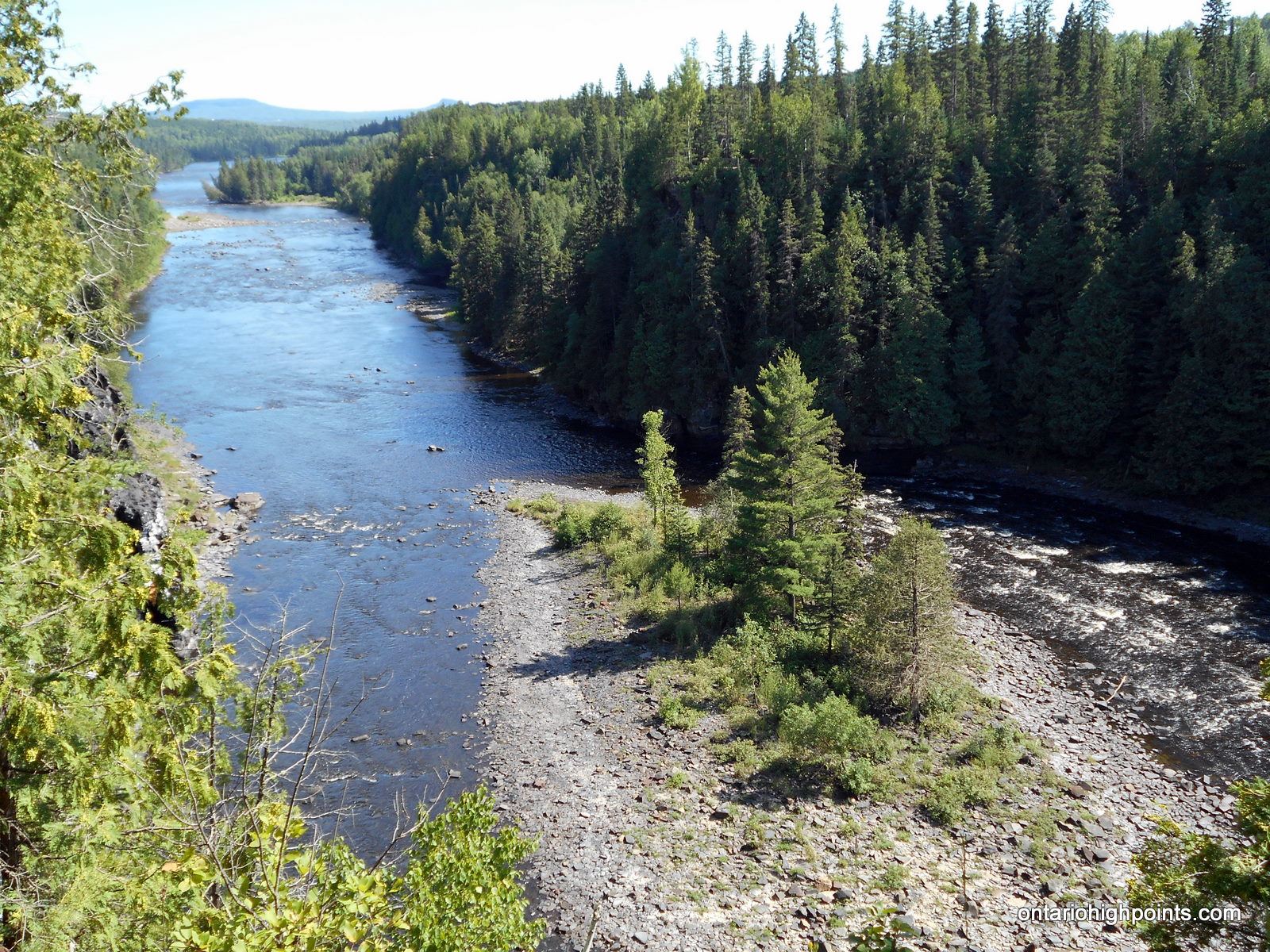
- Kaministiquia River – below Kakabeka Falls
-
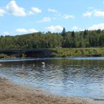
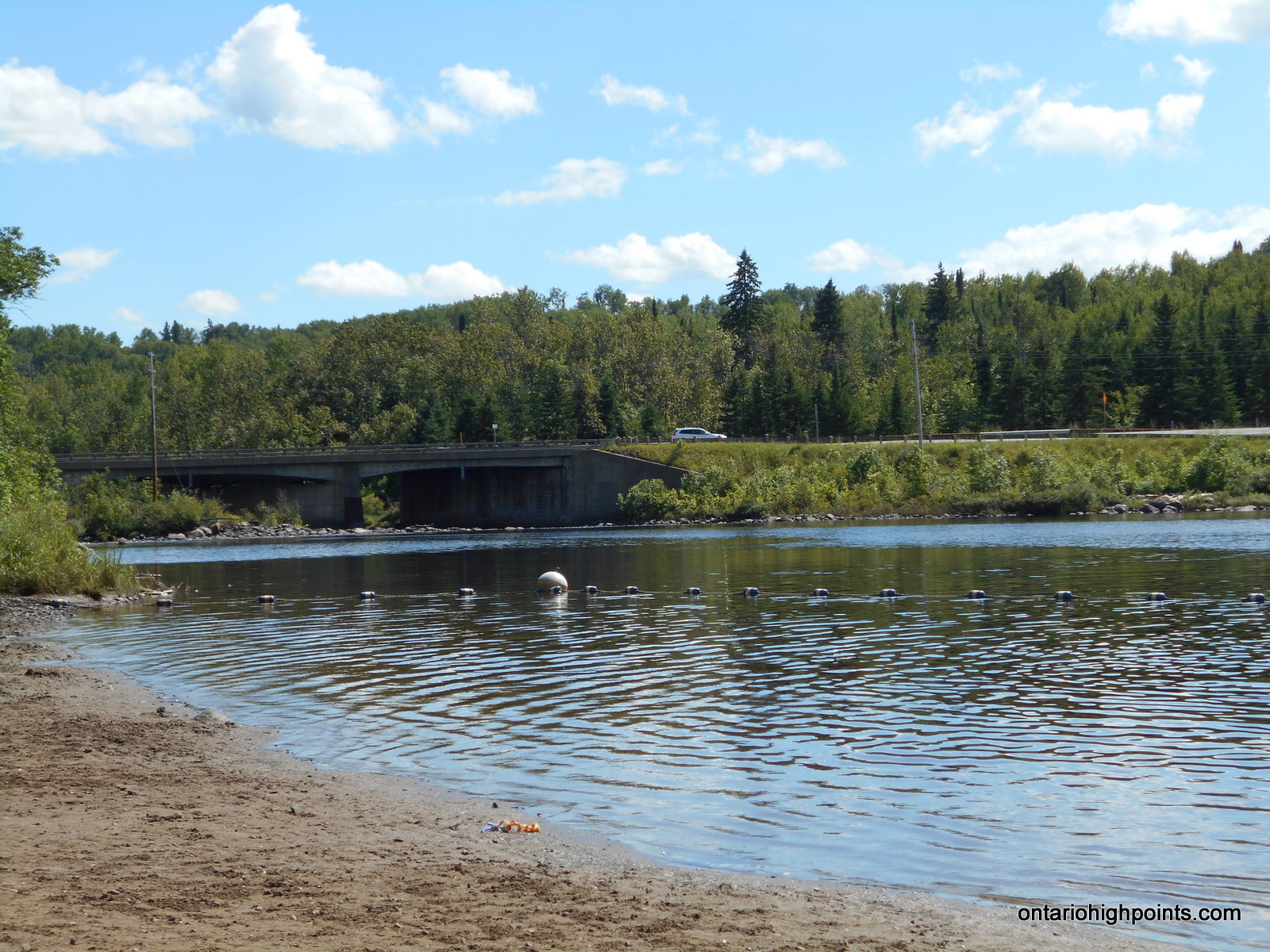
- Swimming area at Kakabeka Falls Provincial Park
Videos:
Trip Report:
On the previous day, Ben and I had climbed Head Lake Peak South and Tower Mt., but due to time restraints imposed by the tougher than expected road conditions (overgrowth), we had to cut hiking to Head Lake Peak West from our plans that day. Luckily, I had planned for this possibility and had outlined other routes to the peak; we would approach the peak from the west side.
After spending a second night camping on Marks Lake, we headed out and drove east on Marks Lake. Immediately east of a intersection with a road which runs to the south side of Marks Lake, we arrived at a fork with a smaller gravel road heading south. The road’s condition was good enough for us to attempt car travel, but we decided to play it safe and so we left my van at the intersection. I climbed aboard Ben’s van and we headed south on the road.
After driving for 4.8 km, the condition of the road started to worsen; the hills were getting steeper, the gravel chunks looser and more like small boulders. We found a roadside parking spot and parked the van. We suited up and marched 700 meters south along the road.
We chose to start the bushwhack where the road began to round to the west – we were at the closest point along the road to Head Lake Peak West. We entered the woods and headed southwest.
The initial 800 meter trek was easier than expected considering our previous days’ bushwhacks. We hiked over moss/lichen covered rock terraces and outcrops and did not encounter much underbrush. However the easy going eventually gave way to the usual thick understory with thickets of impassable tag alders which we had to thrash our way around. After ascending and descending a few bumps along the route, we emerged onto the summit.
The summit was a tangled mess of alders, which made exploring it more difficult. Nevertheless, after some reconnaissance, we were confident we had found the highest point and built a rock cairn to mark it’s location.
We returned via the same route and tried to zig-zag around the thickets of tag alder. We arrived back at the road after 1 hour, 45 minutes, and made the short walk north back to the van. As this was the last hike for us in the Boreal / Marks Lake Road area, we drove back out to Hwy 590 and onto Kakabeka Falls Provincial Park to camp for the night.
GPS Tracklog (GPX Format):