Scrabble Mountain
Posted by Derek on May 13, 2009
Rank: NA (below 2100 feet)
Height: 1131 feet / 345 m
Lat/Lon: N44 49.771 W78 51.341
Date Summited: May 6, 2009
Overview:
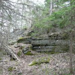
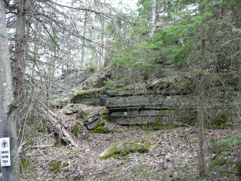
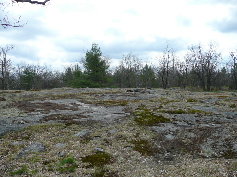
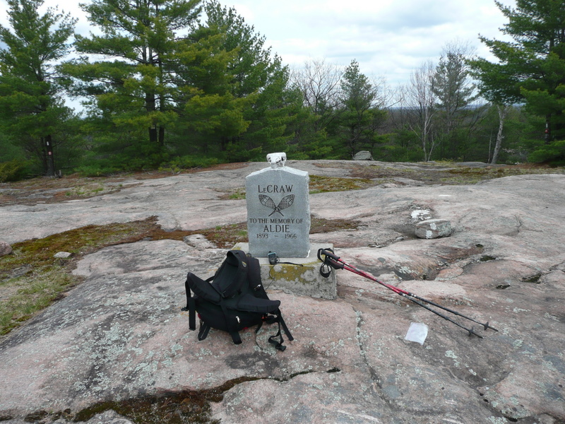
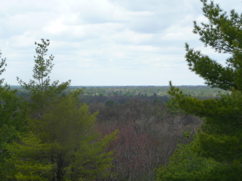
Scrabble Mountain is a broad hill in the Queen Elizabeth II Wildlands Provincial Park. Accessible via the Ganaraska Trail, the peak is 8.5 km (by trail) northwest of Moore Falls and 15 km south of Minden, Ontario. The peak has limited but scenic views of the surrounding terrain and it’s noteworthy for the exposed granite rock ridges especially on the southern approach. The hill’s close proximity to the major population centers of Southern Ontario make this an ideal day hike from the city. The summit is marked with a memorial to Aldie LeCraw.
Directions:
Take Highway 35 North from the 401, 110 km north to Moore Falls. The Ganaraska Trail runs east-west through town and crosses the river between Moore And Gull Lake on HW 35. The wilderness section of the Ganaraska Trail begins as it departs HW 35 and heads north on Black Lake Cottage Road (signed as Country Cottage Road). Parking may be available in town, however Parking at the start Country Cottage Road, on a grassy area on the left is limited to Ganaraska hikers. Parking along the private road is not permitted.
Alternatively, hikers may choose to turn the outing to Scrabble Mountain into a loop hike by parking at the end of Devil’s Lake Road, near the boat launch to Devil’s Lake and shuttling back to Moore Falls. Devil’s Lake Road can be reached by following Deep Bay Road north for 7 km, whose intersection with HW 35 is 400 meters past the Country Cottage intersection. The access trail to Petticoat Junction (the junction with the main Ganaraska Trail) begins on the road just east of the parking area.
From Moore Falls it is a 8.5 km hike to Scrabble Mountain and 18.1 km to the parking area on Devil’s Lake Road. Once leaving Country Cottage Road, the trail is completely in the wilderness, however it often follows snowmobile/ATV trails, especially between Scrabble Mountain and Petticoat Junction.
View a larger version of the map
-
- Ganaraska Trail – Wilderness Section
-
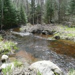
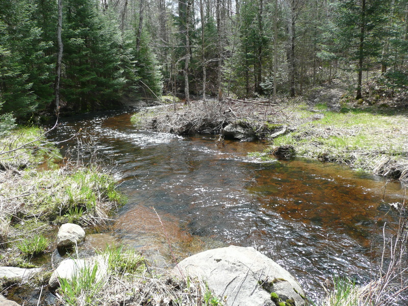
- Ford the stream
-
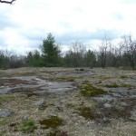
- Granite rock ridge clearing
-
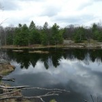
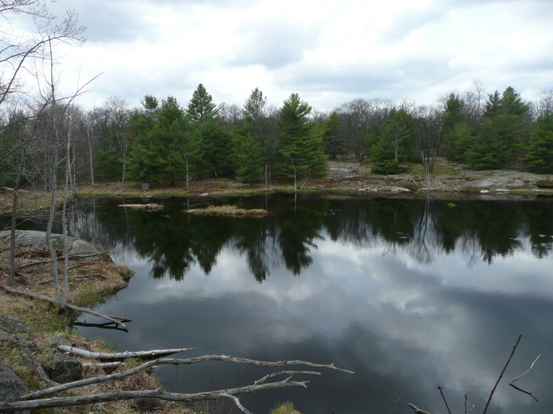
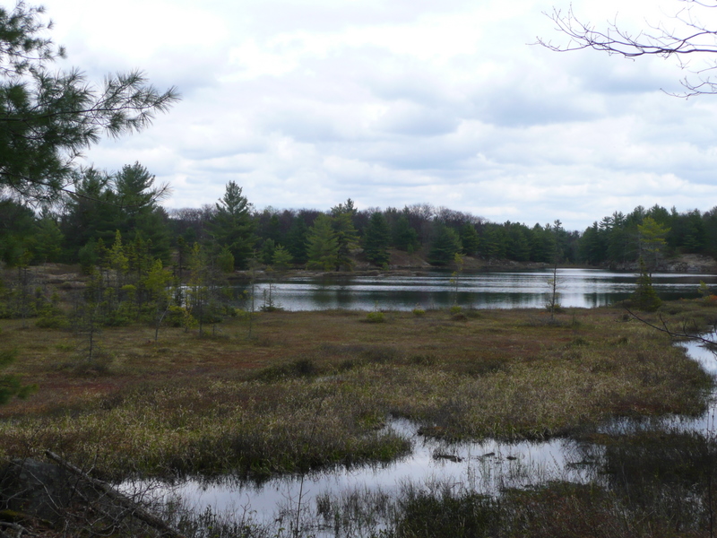
- Still Lake
-
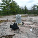
- Scrabble Mountain – Memorial
-
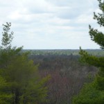
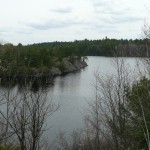
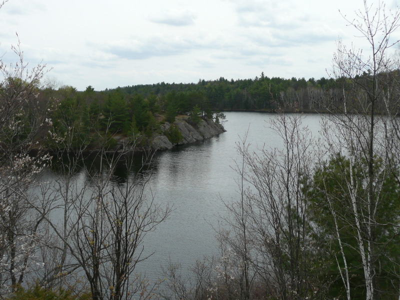
- View from Scrabble Mountain
-
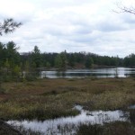
- Small Lake
-
- Sheldon Lake
-
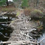
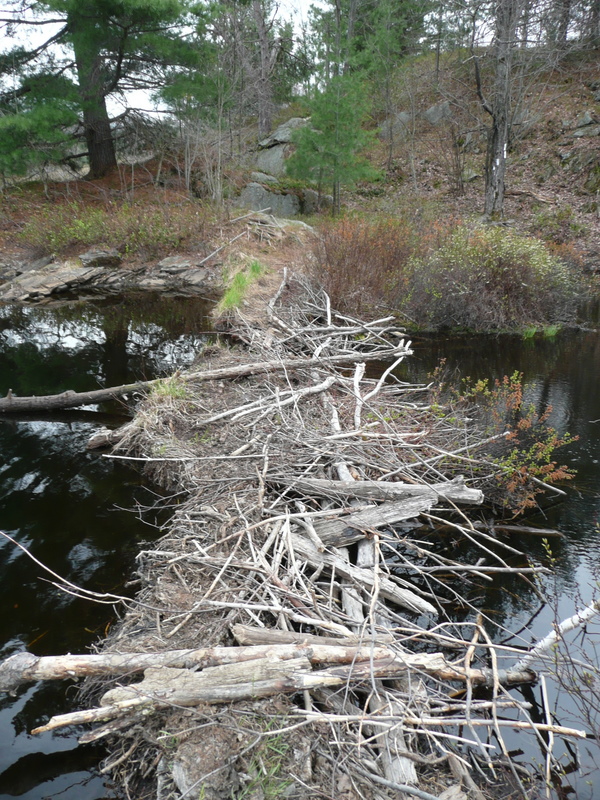
- Trail crossing a beaver dam
Ganaraska-Wilderness-Scrabble Mt Trail GPS Route (.gpx format)
Related Links:
Ganaraska Hiking Trail Association
Ganaraska Trail Wilderness Club
Absolutely beautiful and most serene.
A bit confusing with no map in the winter at Moores Falls entry. The dirt road is the trail and has signs after about 300-400 meters for Ganaraska trail. Why Ganaraska doesnt have online maps i do not know.
Absolutely breathtaking views. The trails challenging, quite confusing, got lost a few times. Thankfully we made it to Moores Fall before sunset