Kenora District High Point
Posted by Derek on Oct 30, 2016
Kenora District HP
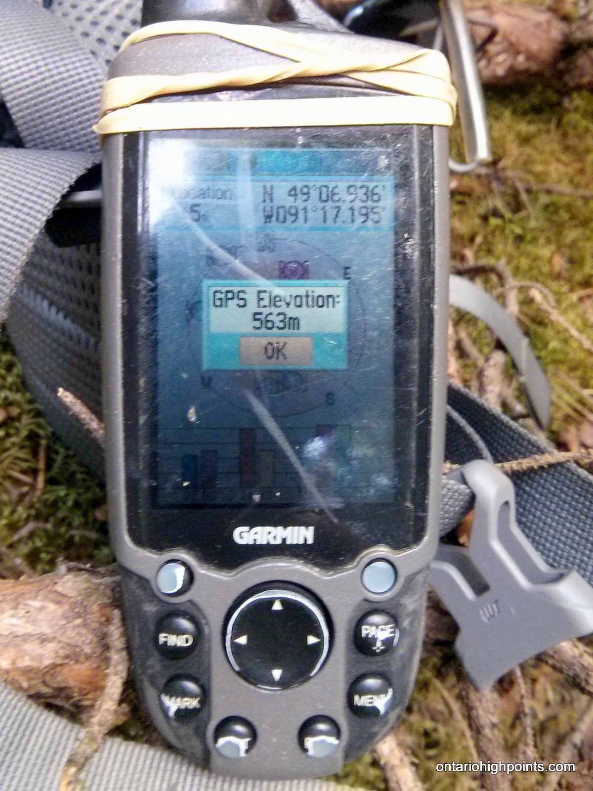
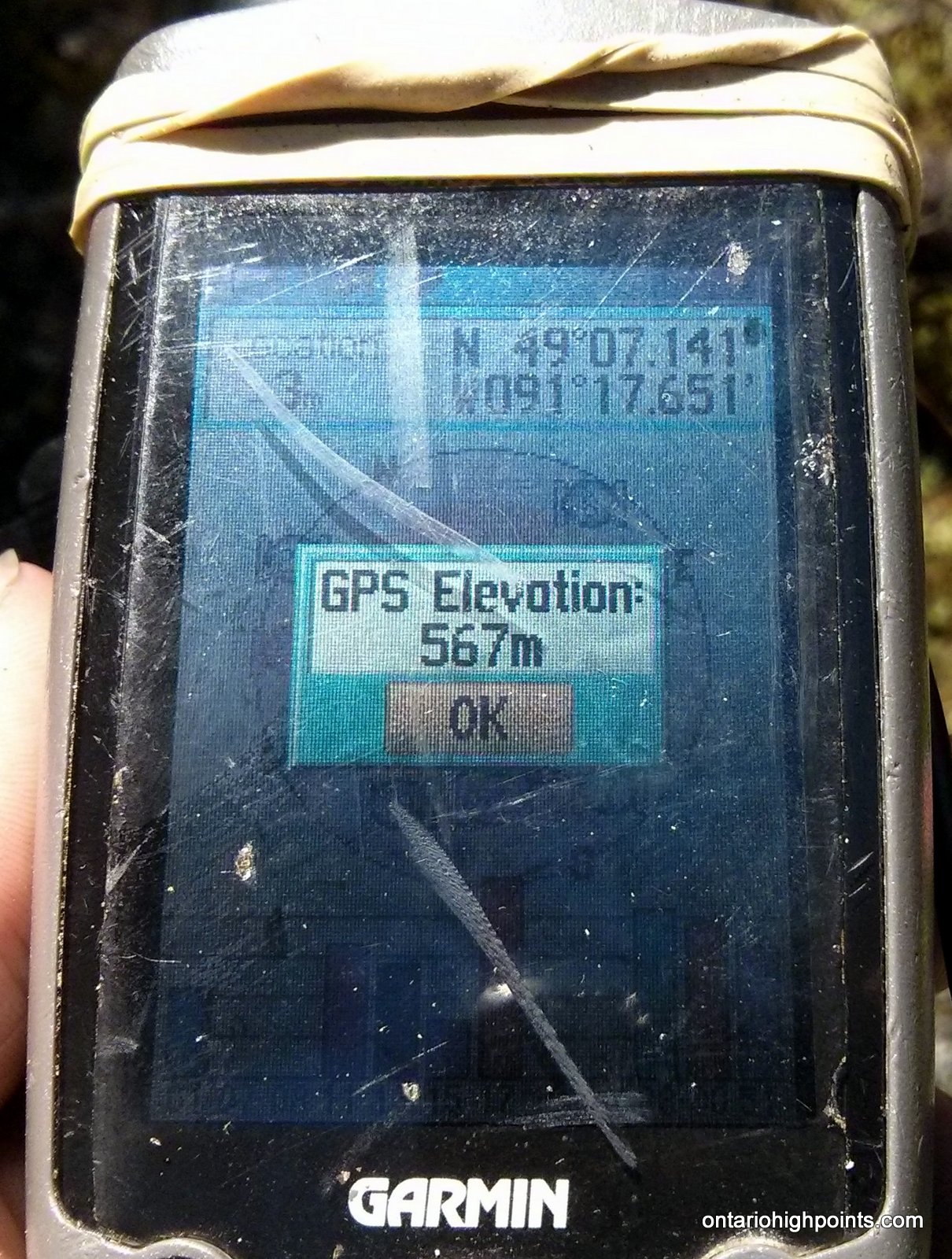
GPS recorded height: 1860 feet / 567 meters
Lat/Lon: N49 07.165 W91 17.625
Date Summited: July 26, 2016
Overview:
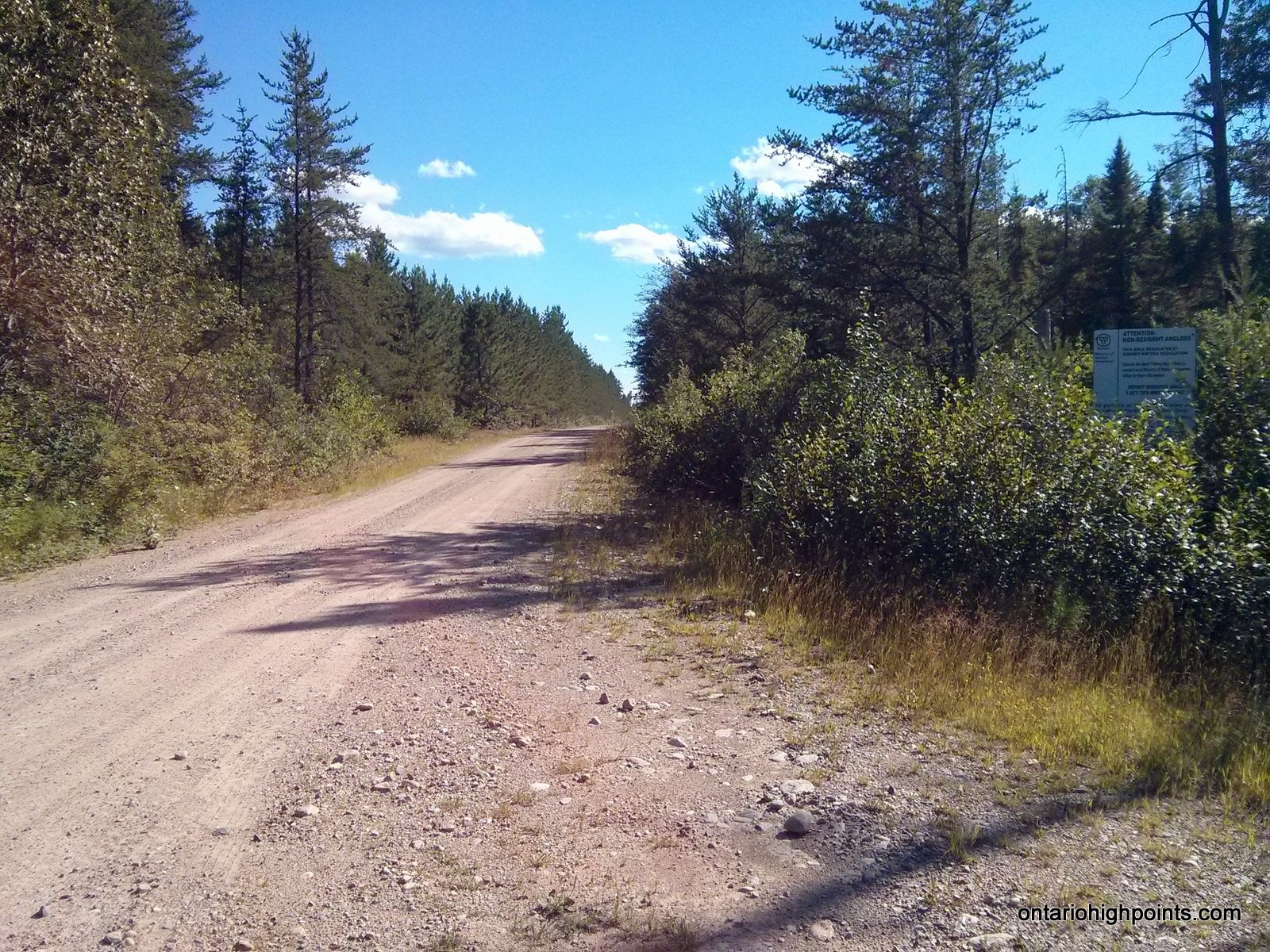
The title of Kenora District High Point is shared between 2 high point candidate areas who’s elevations lie within the margin of Ontario Base Map measurement accuracy. The High Points form part of the highlands located near the head waters of the Turtle and English Rivers about 27 km southwest of the small community of English River on Hwy 17. Fishing is the dominant recreational activity in the area and access to the lakes is provided by the numerous bush trails and logging roads (active logging operations active). There are no views at the High Points, but the route passes many photogenic lakes along the way.
Directions:
Note: Using Trina Road to access the area might be unnecessary in the future, since Caldwell Road, which starts from Hwy 11 in Sapawe (may be signed differently in Sapawe), is scheduled to be extended to Hwy 17 in 2017.
From Thunder Bay, drive approximately 200 km west along Hwy 17, past the small community of English River to the intersection with Trina Road (unsigned to the south) and Sowden Lake Road (signed to the north). Turn left (south) on Trina Road and continue 6 km to a fork near Gloven Lake. Beyond the fork, Trina road is washed out, but a new road has been constructed to skirt that section of road, so take the left fork and then make a quick right on a new road which rejoins the main road in 400 meters.
At 9.1 km from Hwy 17, the new road construction ends at a culvert. Park here. An overgrown 2-track bush road continues on, but is not navigable for most vehicles, so continue on bike or on foot from this point.
Stay left on the main 2-track road (1.2 km from the parking area) where a new road is being built. 7.3 km from the parking area, the 2-track bush road meets up with the newly constructed Caldwell Road, which could optionally be used to access the area from the south (It would be a 70 km drive north from Sapawe / Hwy 11 along active logging roads to reach the 2-track bush road turnoff to reach the High Point). 8.2 km from the parking area, turn right off of Caldwell Road back onto the overgrown 2-track bush road, cross the shallow Scotch River (no bridge) and continue for 3.1 km (11.3 km from the parking area) to an old gravel pit, which is used as a rustic hunt camp. The conditions of the road beyond get progressively rougher, so if biking, you may wish to stash your bikes at the camp.
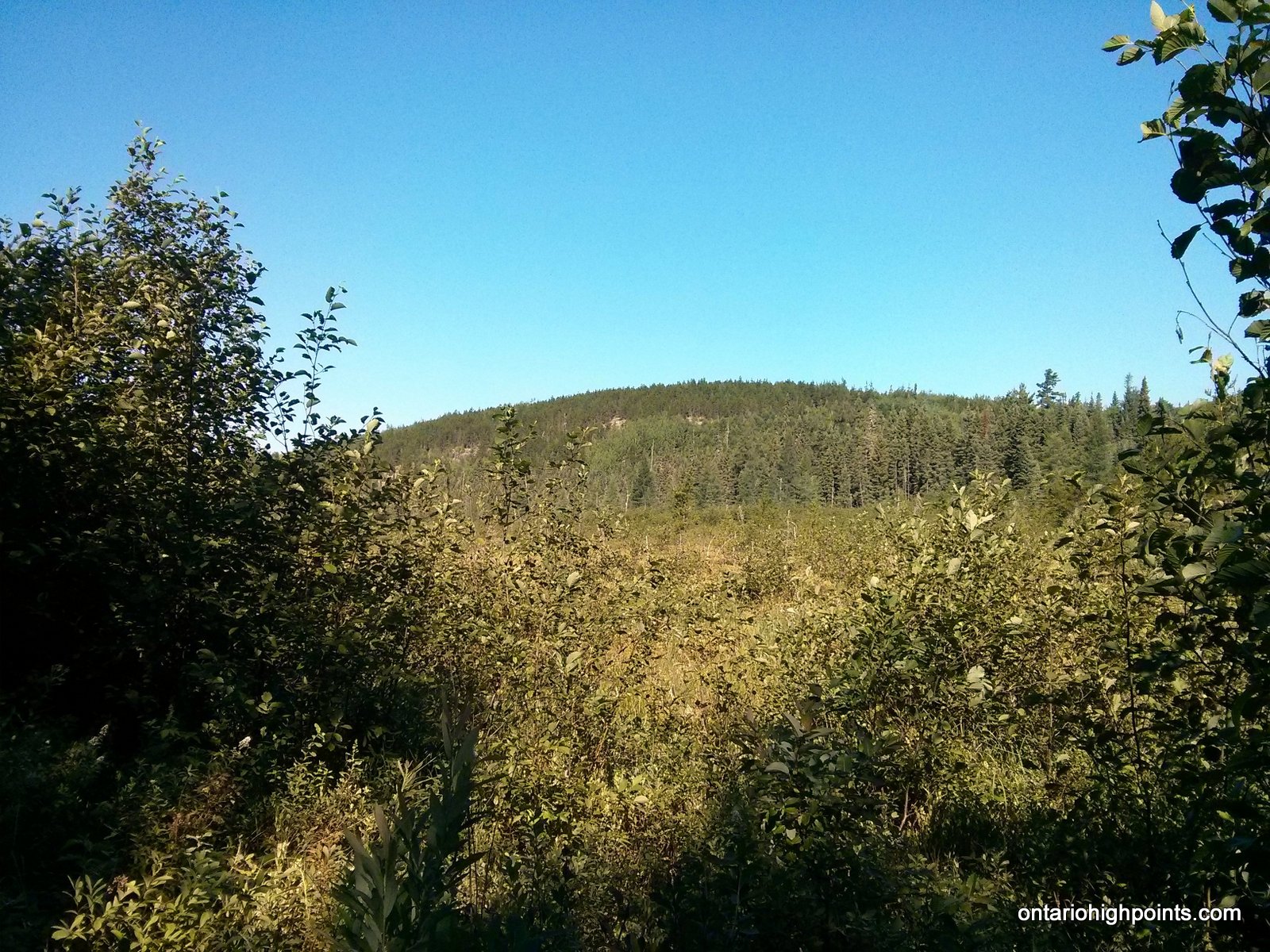
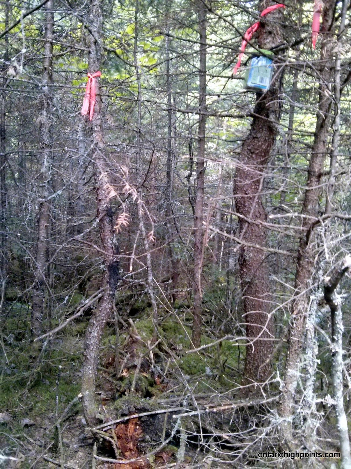
13 km from the parking area, you will cross a small creek near Swiss Lake and shortly beyond that begin the bushwhack northwest to the Kenora District High Point area. It’s about a 900 meter direct beeline to the first candidate high point, however the bushwhacking will be slow and difficult, as you will need to navigate through/around mixed woods with exceptionally dense undergrowth, large boggy/wet areas with tall grass/brush, and fair amount of blowdown. The first candidate high point is atop a small mossy rock outcrop ridge, and is now marked with a canister. (Placed by Ben Lostrocco).
The second candidate high point area is 700 meters to the northwest. There are 2 points at this second area, and it was our consensus (using own non-accurate measurements) that High Point Candidate #2A at N49 07.144 W91 17.655 is the highest point in Kenora District.
View a larger version of the map
Trip Summary:
00.0 km – Turned left off of Hwy 17 onto Trina Road (unsigned) (6:30 AM)
05.9 km – Arrived at Gloven Lake. Turned left – washout detour (6:40 AM)
06.0 km – Right on new road. (6:48 AM)
06.4 km – Detour rejoins main road (6:49 AM)
09.1 km – Parked at culvert at end of road improvements (7:00 AM)
00.0 km – Departed parking area on bikes (7:10 AM)
01.2 km – Passed early stages of new road construction (7:19 AM)
06.8 km – Arrived at Little Scotch Lake (8:37 AM)
07.3 km – Turned left onto Caldwell Road (8:41 AM)
08.2 km – Turned right onto bush road and crossed Scotch River (8:46 AM)
09.5 km – Passed Holland Lake (8:56 AM)
11.3 km – Stashed bikes at old Hunt Camp (9:10 AM)
11.8 km – Turned right at fork (9:27 AM)
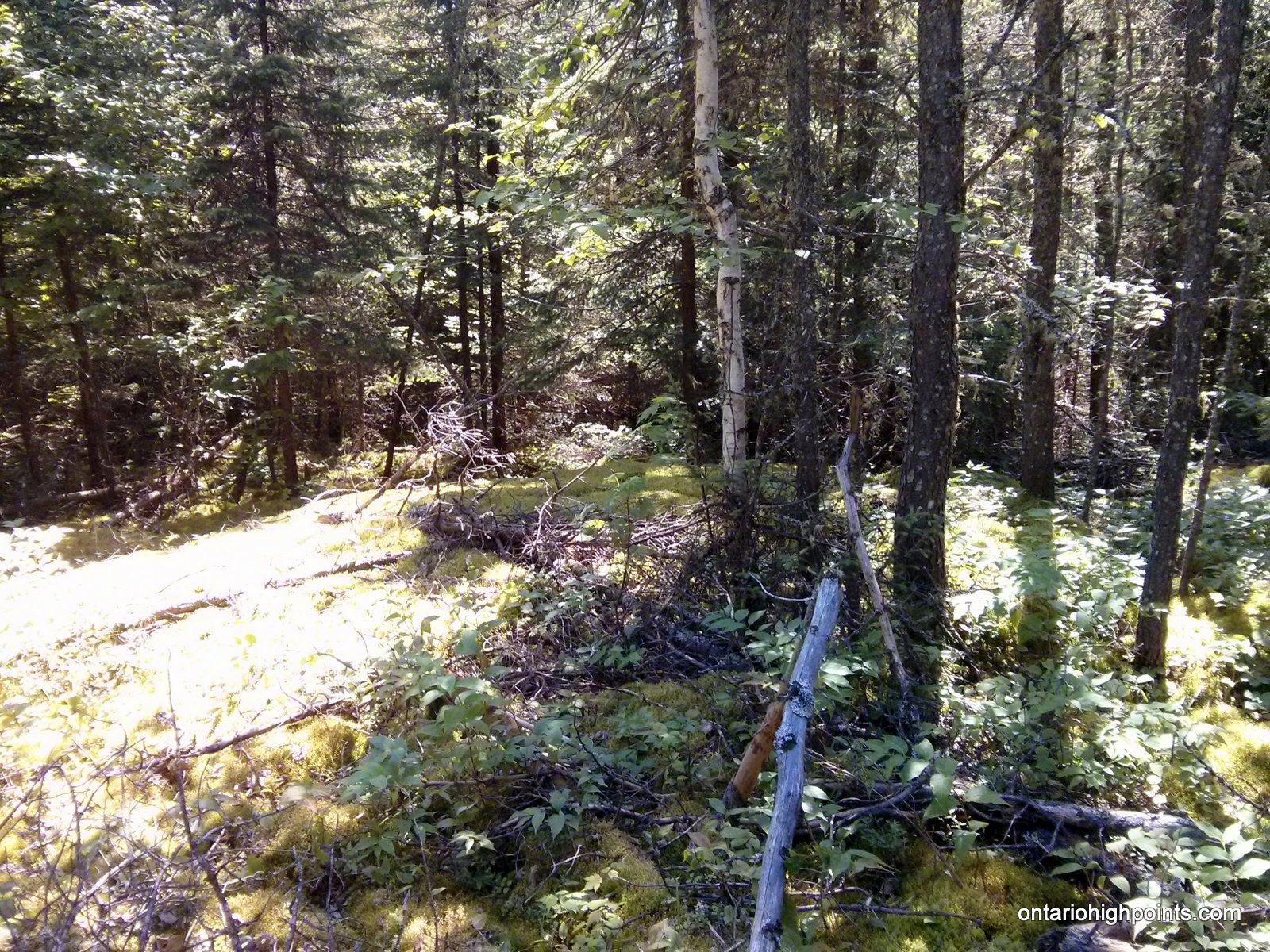
13.0 km – Started bushwhack at Swiss Lake (9:41 AM)
14.4 km – Arrived at Kenora District HP – Candidate #1 (10:47 AM)
15.2 km – Arrived at Kenora District HP – Candidate #2B (11:34 AM)
15.3 km – Arrived at Kenora District HP – Candidate #2A (11:50 AM)
00.0 km – Departed Kenora District HP – Candidate #2 area (12:00 PM)
00.8 km – Arrived back at Kenora District HP – Candidate #1 (12:26 PM)
01.8 km – Arrived back at Swiss Lake (end of bushwhack) (1:00 PM)
03.5 km – Arrived back at old Hunt Camp. Reclaimed bikes (1:25 PM)
06.7 km – Turned left onto Caldwell Road (2:08 PM)
07.9 km – Turned right off of Caldwell onto Trina Road (2:47 PM)
15.2 km – Arrived back at parking area (3:41 PM)
00.0 km – Departed parking area (4:11 PM)
09.1 km – Arrived back at Hwy 17 (4:33 PM)
Gallery:
-
- Morning on Lodge Lake
-
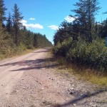
- Trina Road (unsigned)
-
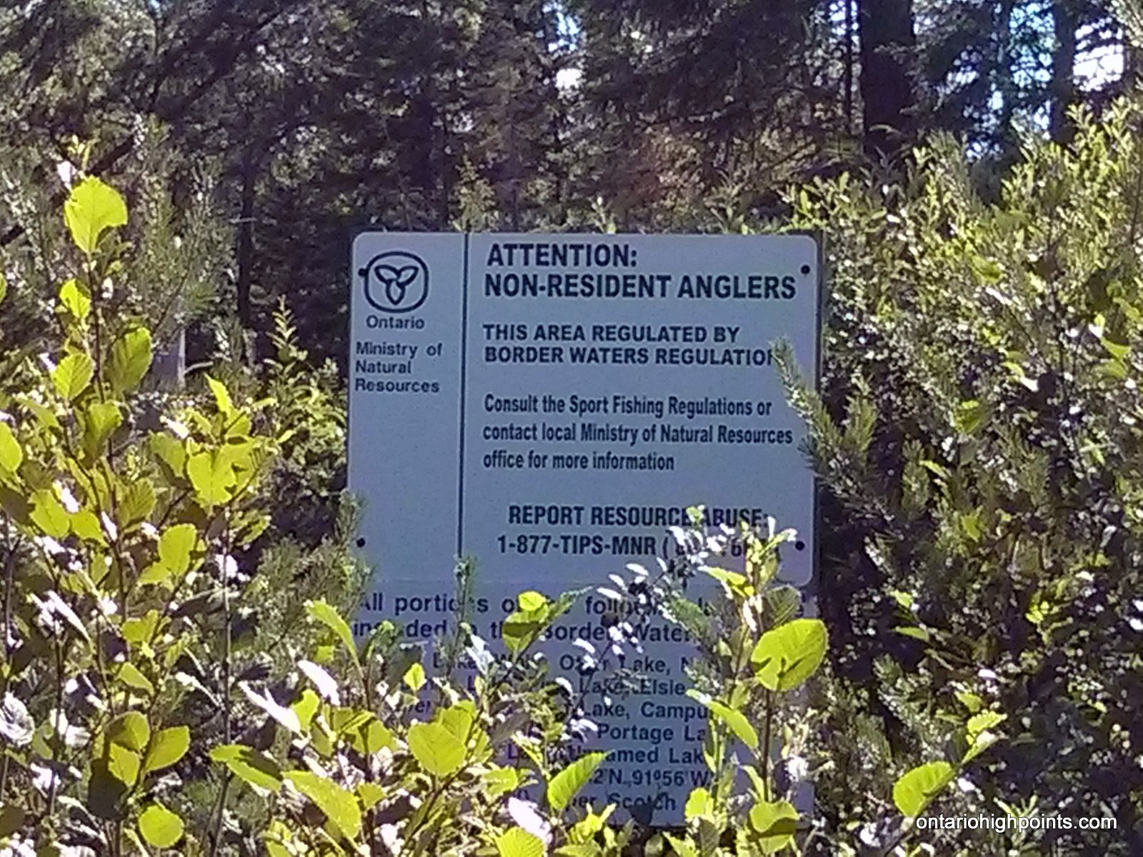
- MNR warning to non-resident anglers
-
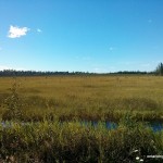
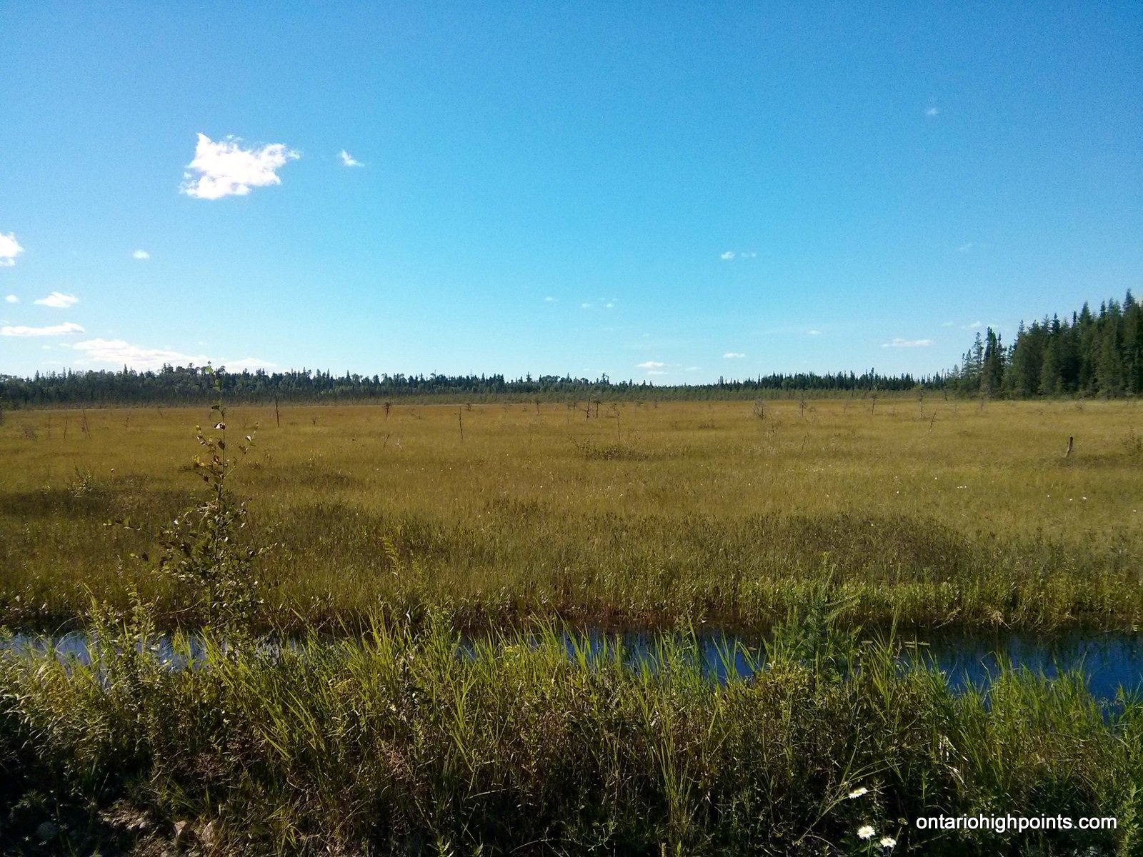
- Wetlands along Trina Road
-
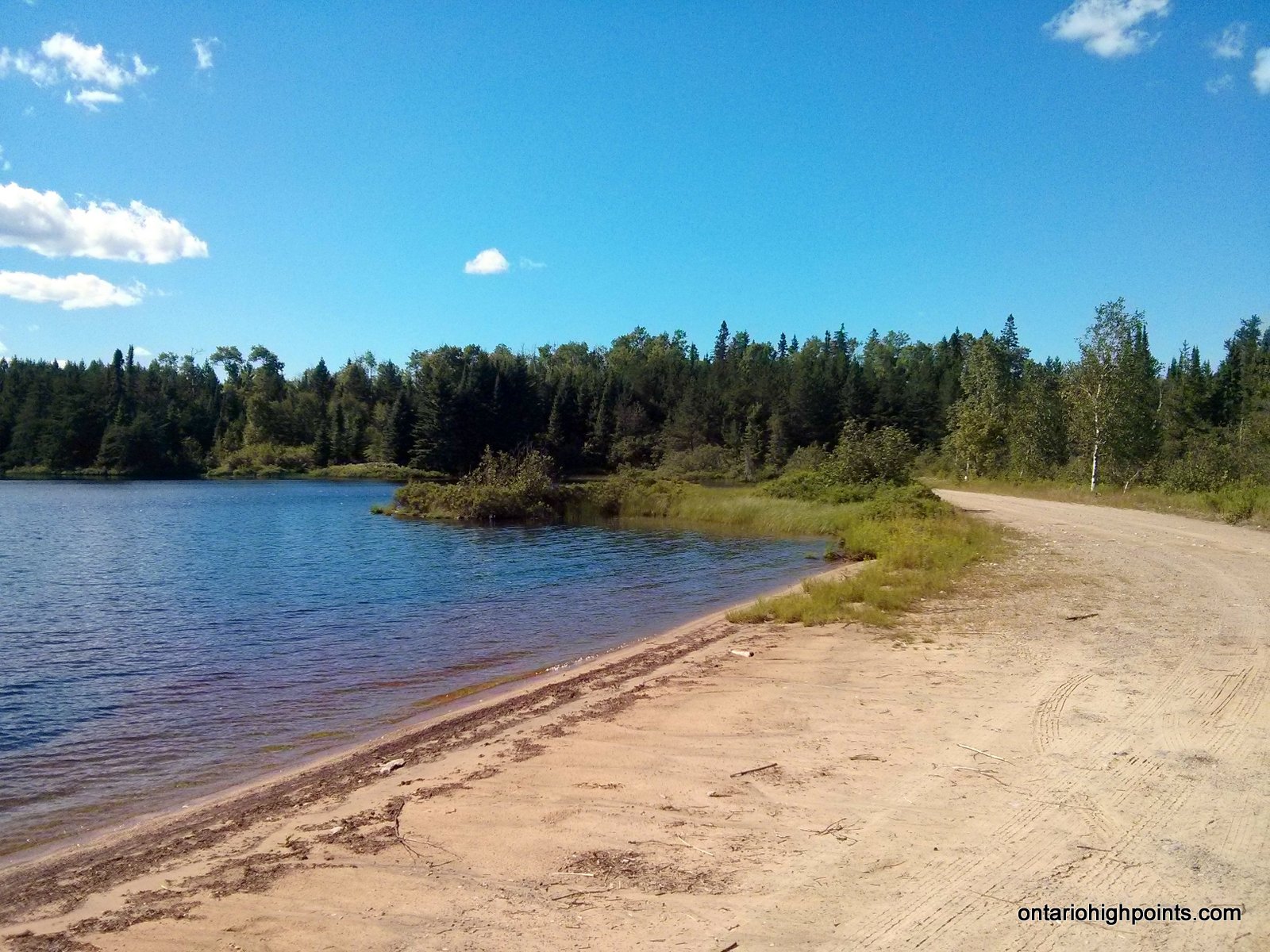
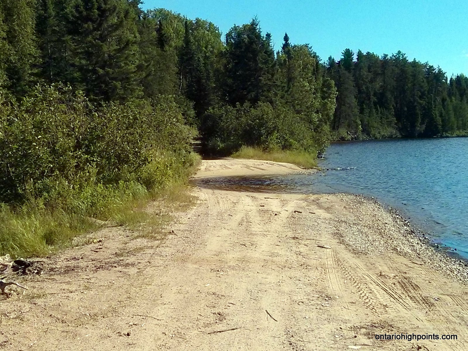
- Beach on Cloven Lake
-
- Washed out road at Cloven Lake
-
- End of the new road – Parking

-
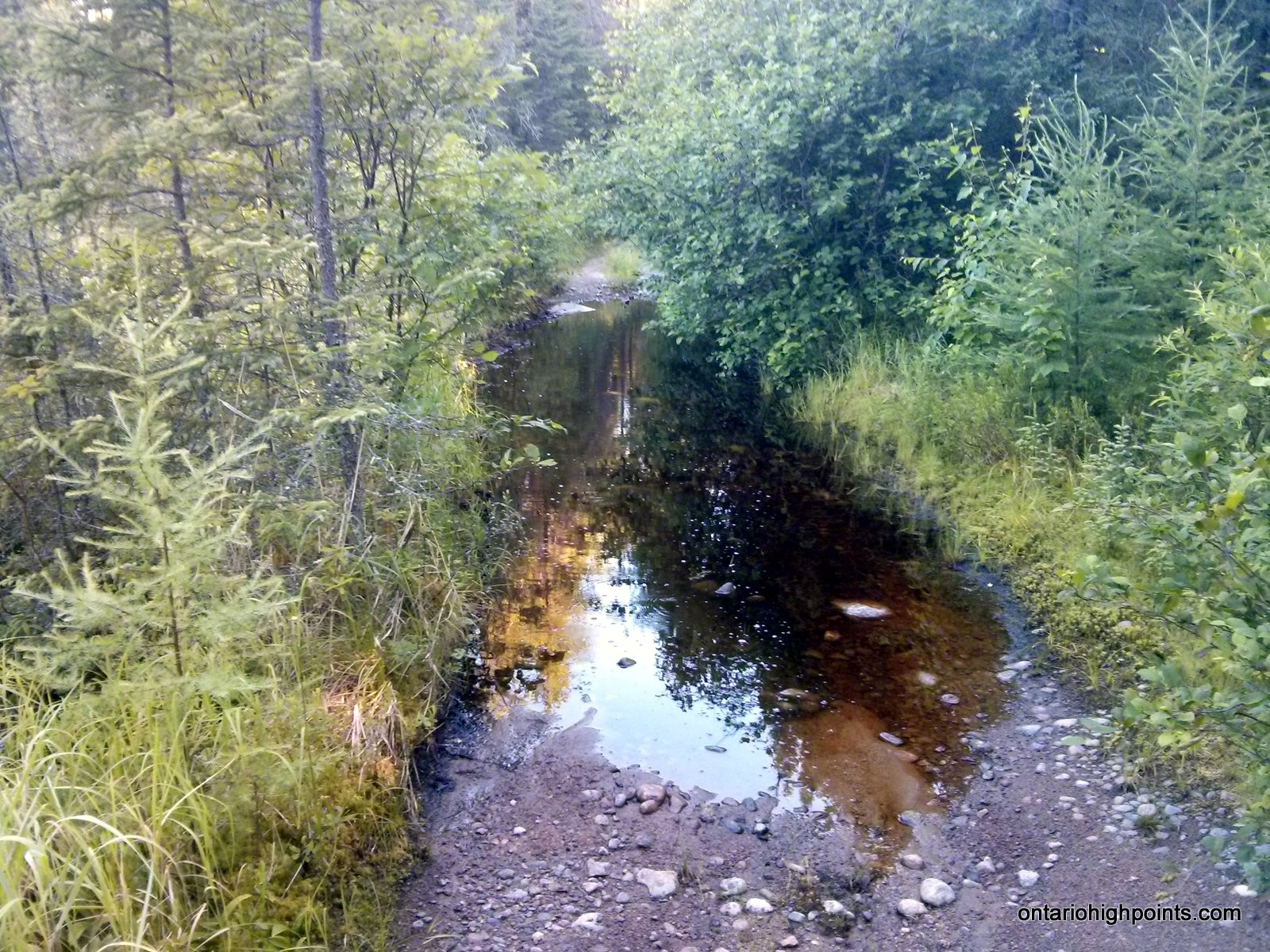
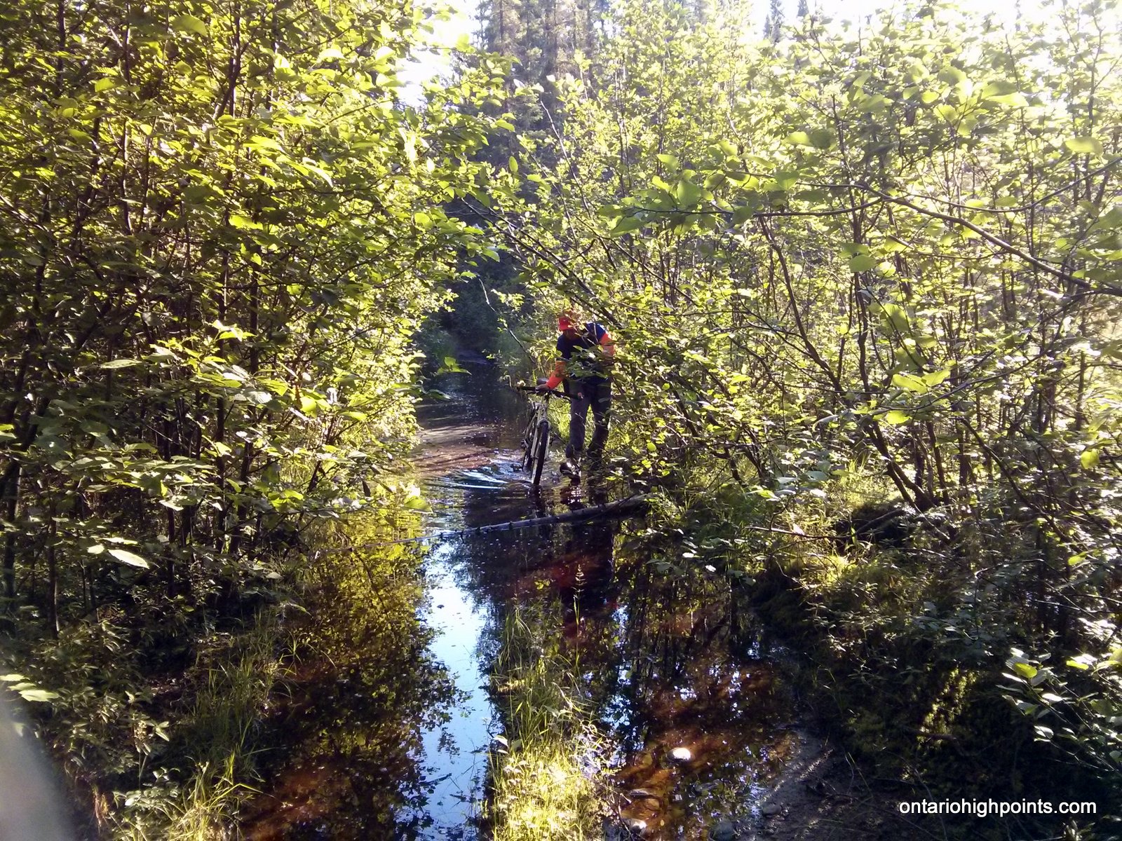
- Road submerged under several inches of water
-
- Ben pushing bike across flooded road
-
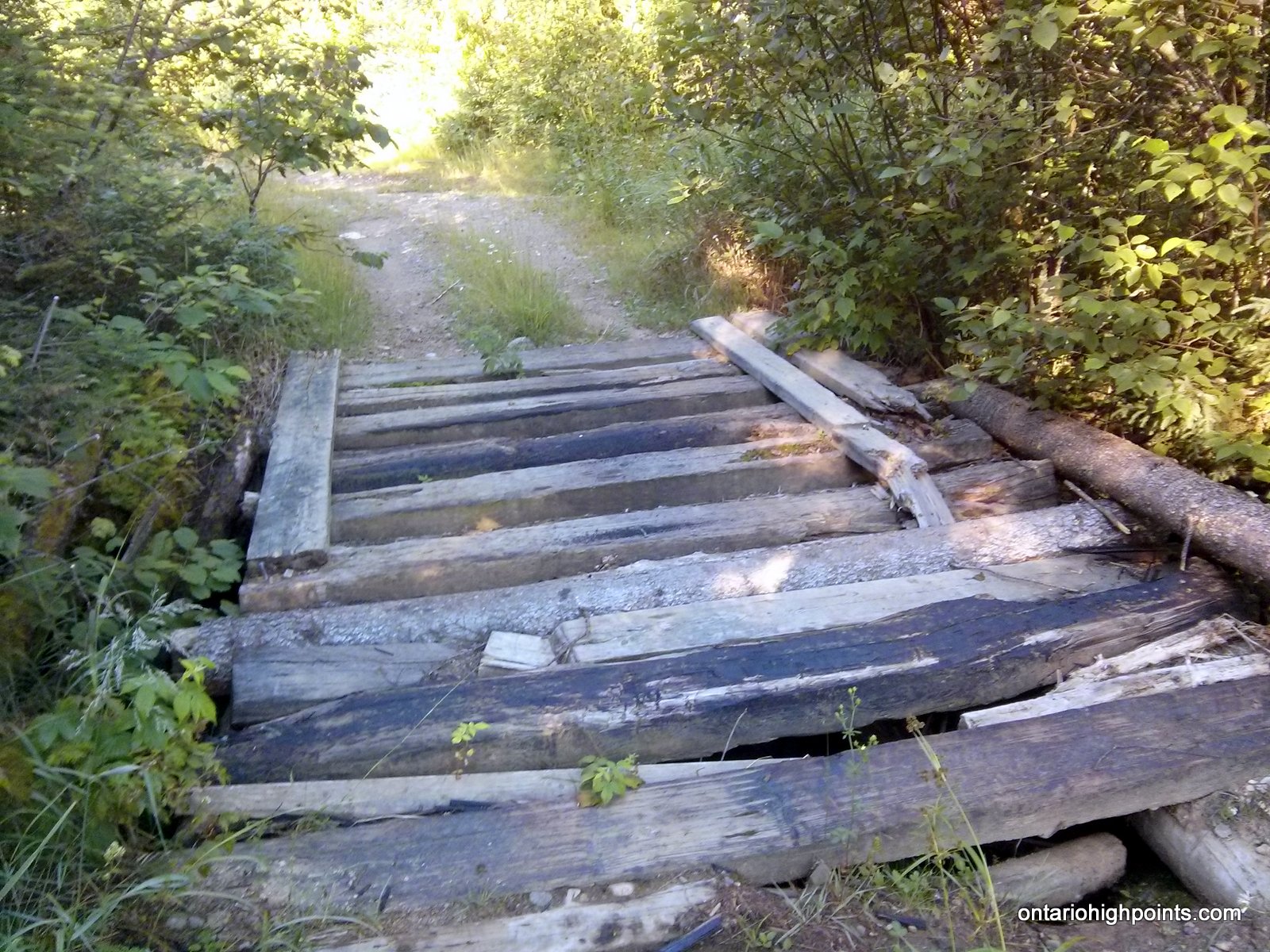
- Old rickety bridge
-
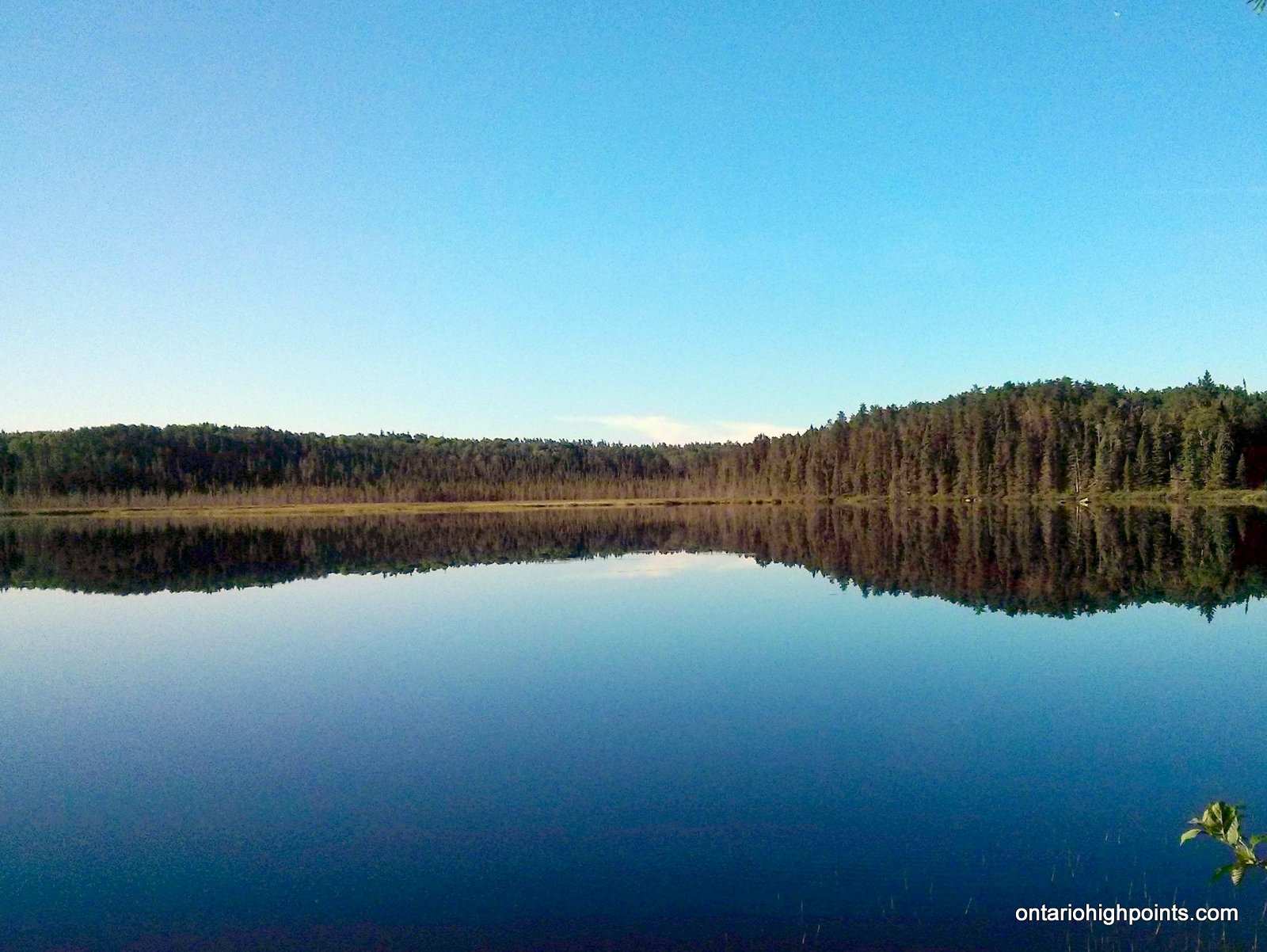
- Reflections on Little Scotch Lake
-
- Little Scotch Lake ‘boat landing’
-
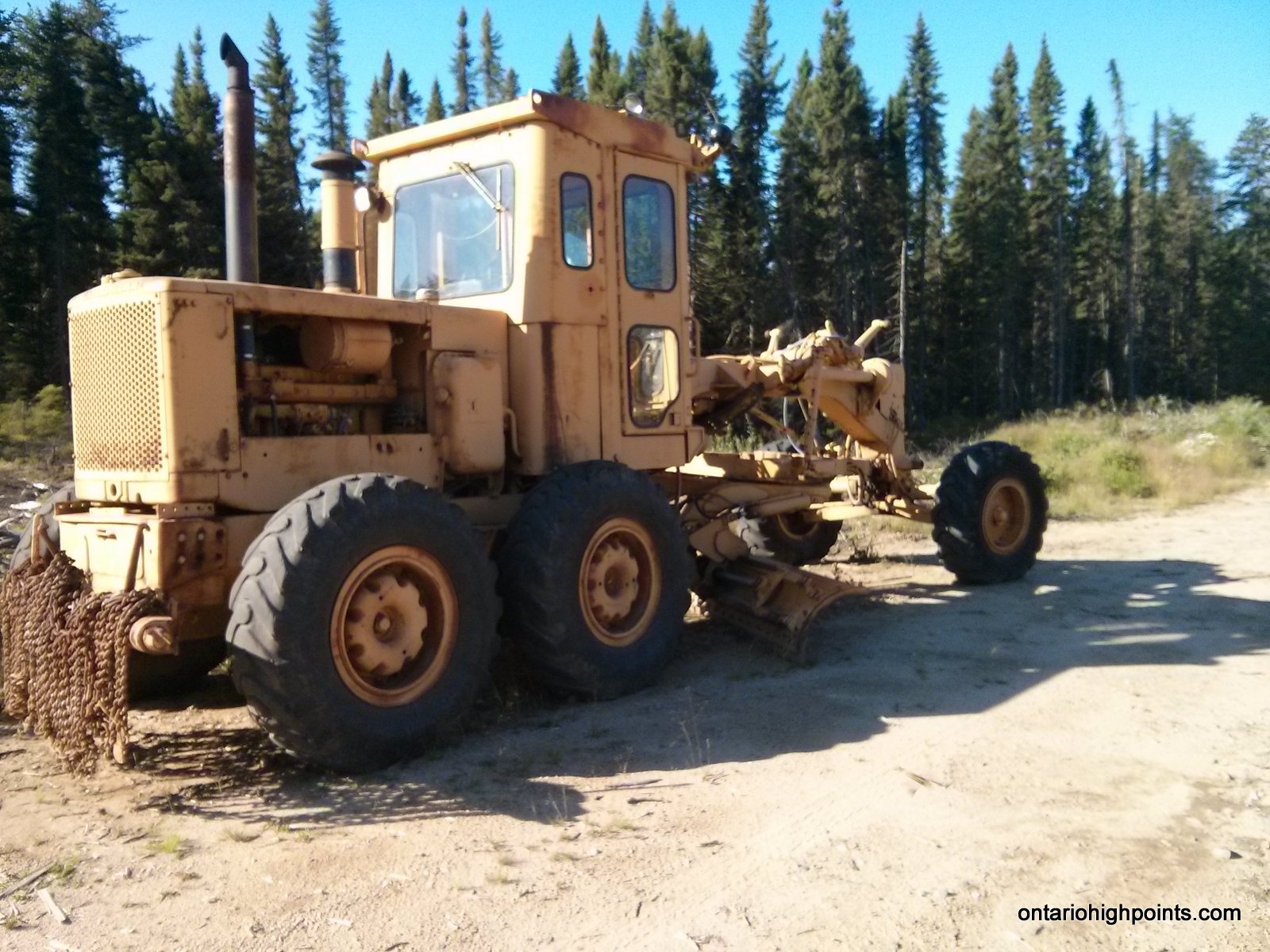
- Grader on Caldwell Road
-
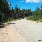
- Caldwell Road

-
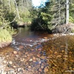
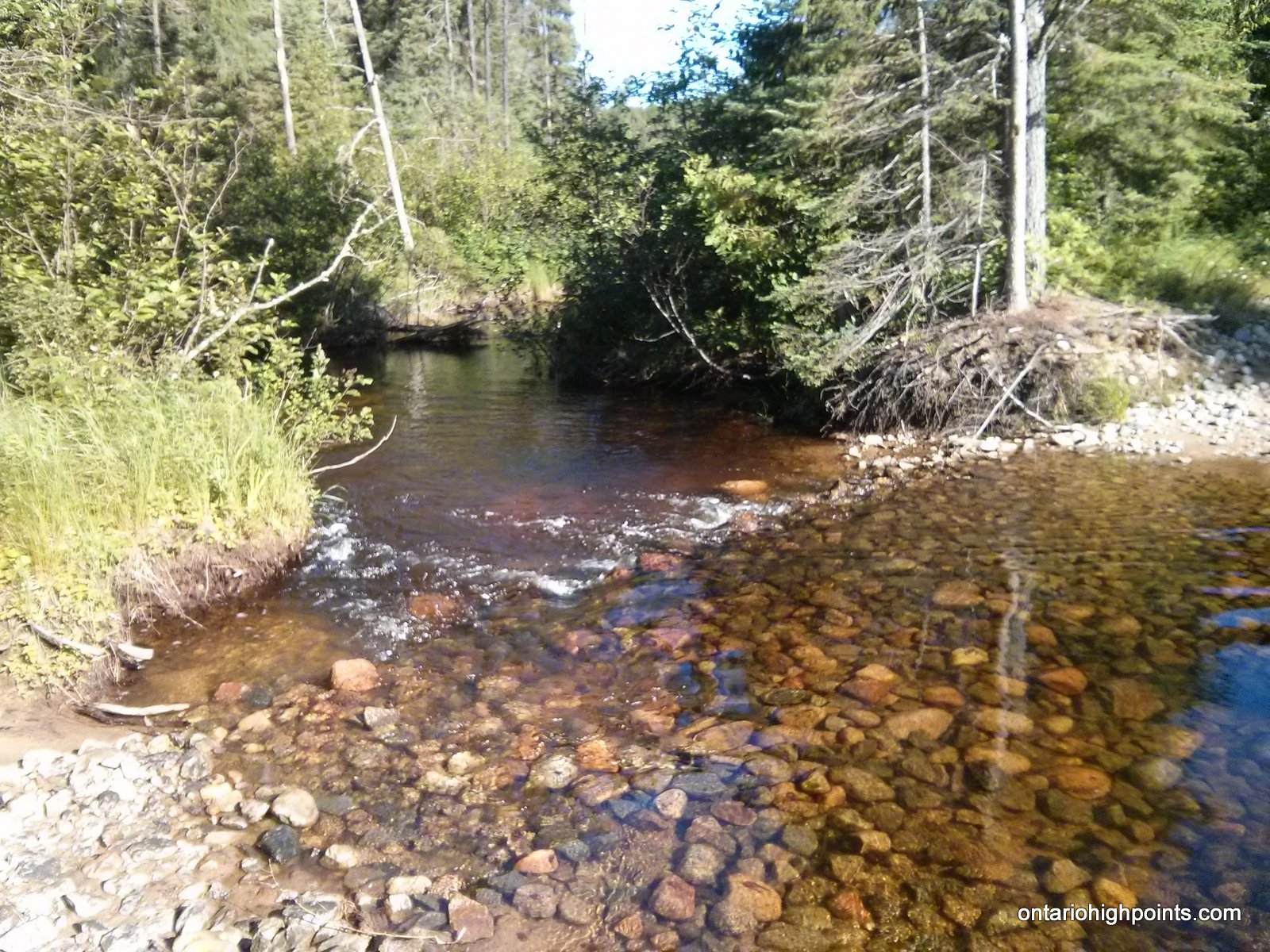
- Scotch River crossing
-
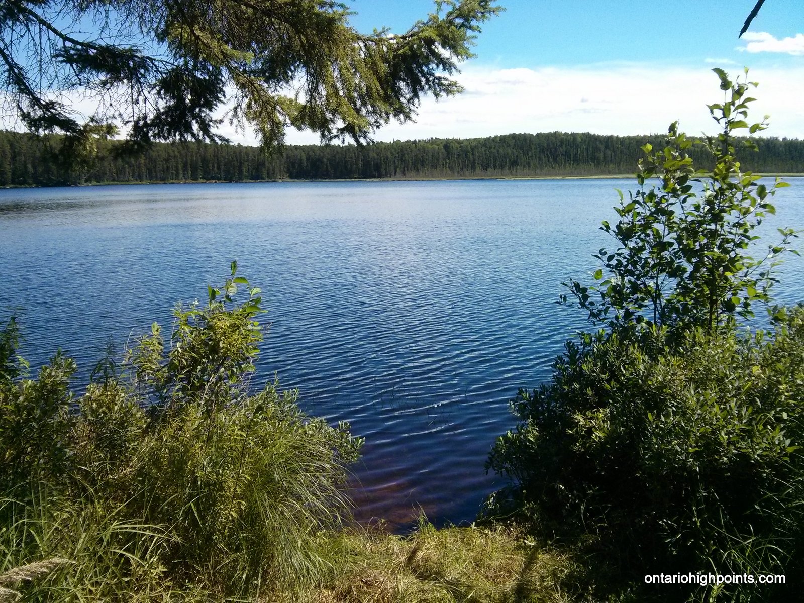
- Holland Lake
-
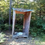
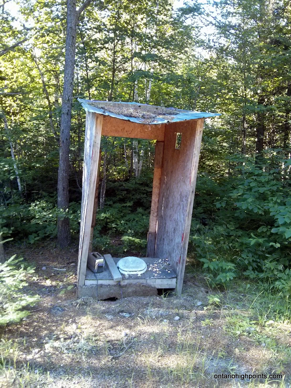
- Derelict hunt camp outhouse
-
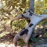
- Moose antlers
-
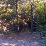
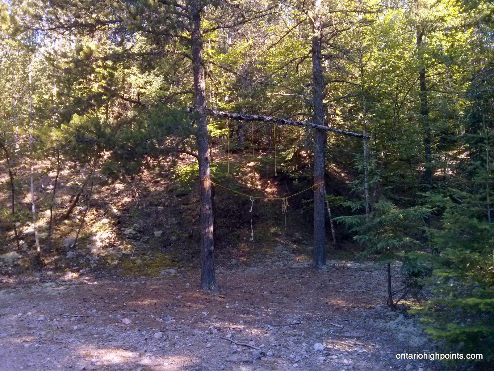
- Deer hanging tree
-
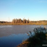
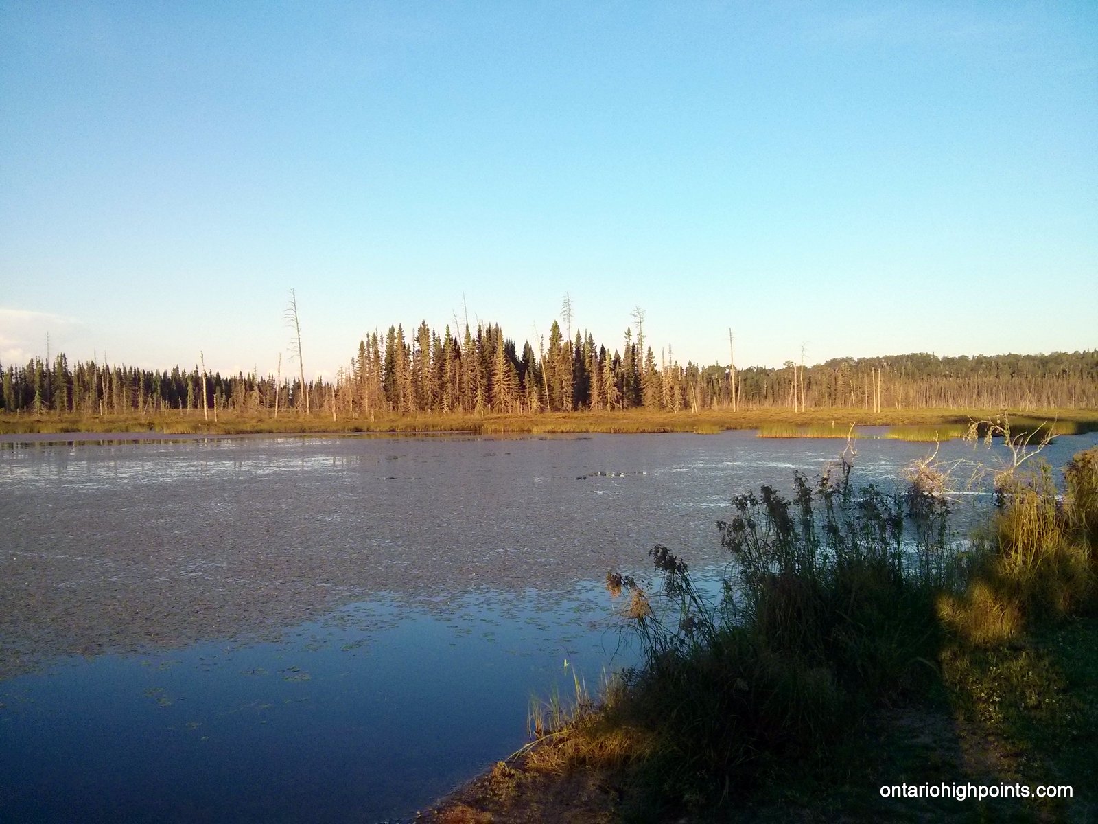
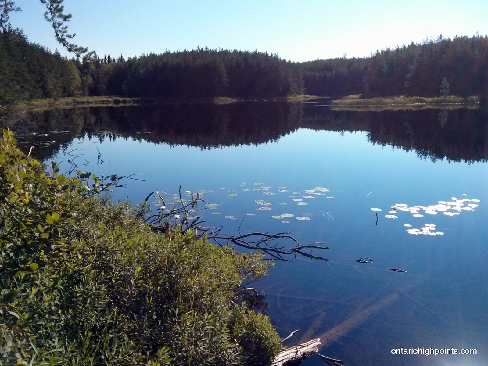
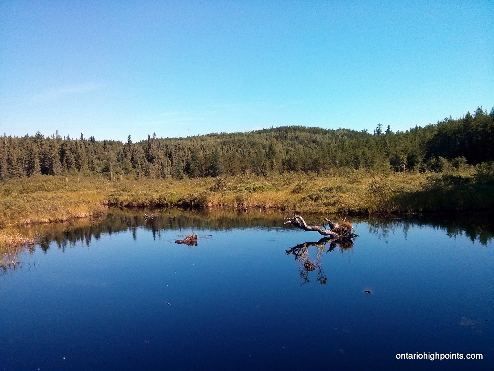
- Small pond near Swiss Lake
-
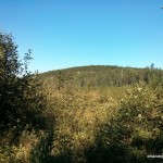
- Kenora District High Point
-
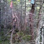
- Kenora District HP – Candidate #1
-
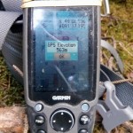
- Kenora District HP – Candidate #1 GPS Elevation
-
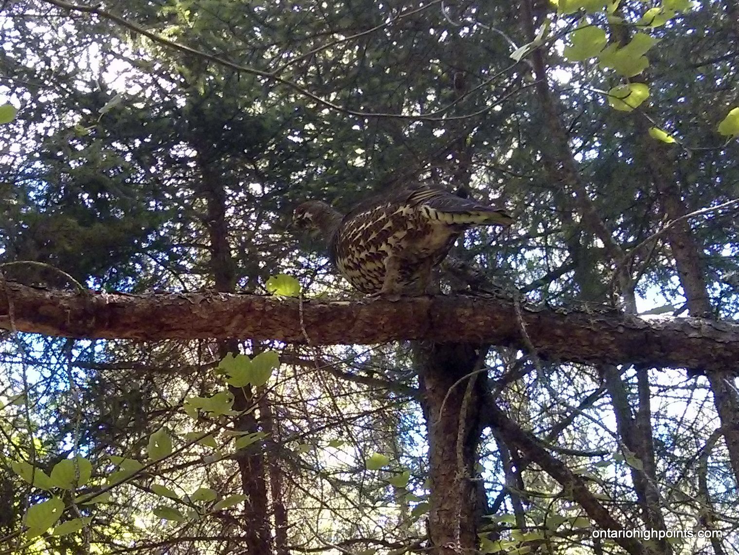
- Grouse in a tree
-
- Kenora District HP – Candidate #2B
-
- Kenora District HP – Candidate #2A GPS Elevation
Trip Report:
After climbing Sleeping Giant and Mt. McKay earlier in the day, I arrived at the picnic/rest stop on Hwy 17 on Lodge Lake, the prearranged location to meet up with Ben Lostracco. Ben and I had some overlapping peakbagging objectives, and so we decided to ‘join forces’ to climb these peaks together. I must thank Ben for joining me on the hikes, even to some peaks he had no interest in climbing.
After overnighting at the rest stop, we awoke early, had breakfast and then drove 1.7 km west to the turn off (left) onto a gravel road (unsigned Trina Road). We drove south for 6 km until reaching Gloven Lake where the road split. The road beyond the right fork was washed out, so we walked down the road beyond the washout to investigate. We met a camper who greeted us at his trailer. He mentioned that there was a new road that bypassed the washout, so with that knowledge in hand, we returned to our vans to continue the drive in. We turned left at the fork and then after making a quick right onto the new road, we soon rejoined the main road.
We followed the road southwest for 3 more kilometers and parked at a large culvert where the road improvements ended. We continued on bike along a rough, but easy to follow 2-track bush road, which was in the early stages of being widened and regraded. 1.2 km from the parking area we arrived at a fork where the forest had to been cleared to build a new road. We kept left at the fork, and stayed on the 2-track bush road which narrowed and was often covered over by large puddles. We counted about 8-10 puddles which we had to ride through or walk the bike around.
After biking 7.3 km, we linked up with the new and freshly built Caldwell Road, which runs 70 km north from Hwy 11. Upon seeing it, we concluded that we probably could have driven up this road and saved ourselves 16 km (with return) of bike riding had we had known it’s present good condition.
After a few minutes of biking along Caldwell Road, we turned back onto a narrow 2-track bush road which forked right. As the bush road’s conditions were getting progressively worse, we decided to stash our bikes at a re-purposed gravel pit, now a rustic hunt camp, complete with a dilapidated latrine. There were no other buildings on the site. We walked the remaining 1.7 km (took a right at a fork on route) to Swiss Lake. Along this section, we encountered a lot of deer flies which were constantly buzzing around our heads. When they became unbearable, we donned our headnets and used our bug spray.
After crossing a small stream, we headed into the woods and began our bushwhack. Initially, we made an westward arch to avoid a boggy area, and then after avoiding the bog, we turned northwest to intersect the summit area. It was a tough bushwhack with lots of thick jackpine stands. We found the first candidate high point summit atop a mossy rock ridge, about 30 meters away from the spot height marked on my maps/gps. Ben placed a CoHP register cache with log book before we left.
We continued on, bushwhacking northwest to the second candidate high point summit, and were challenged to decide between 2 areas which appeared to be the highest. In the end we decided that the second (southwest) area was the highest. According to my GPS and our ‘best guess’, the second high point candidate is the highest point in Kenora District.
We left the summit and descended via the first candidate high point. On the return, we decided to take a chance and crossed the boggy area we had avoided on the ascent. It was covered by deep peat moss, but luckily not too wet. Back on Caldwell Road, we met up with Bryan, a gravel truck operator from Atikokan, who had noticed our tire tracks etched on the road from earlier in the day. He was surprised to see us, as hiking/biking isn’t a common activity for the area. We told him about the Kenora High Point and our peakbagging goals. He was familiar with the general area near our bushwhack as he had spent time fishing in Norway Lake. He told us about the lumber business and that they were expecting to extend Caldwell Road all the way north to Hwy 17 by next year (2017). After a friendly conversation, we continued north and arrived back at our vans, after a long 8.5 hour day.
GPS Tracklog (GPX Format):