Southern Ontario High Point
Posted by Derek on Nov 6, 2011
aka. Nipissing County High Point
Height: 1896 feet / 578 meters
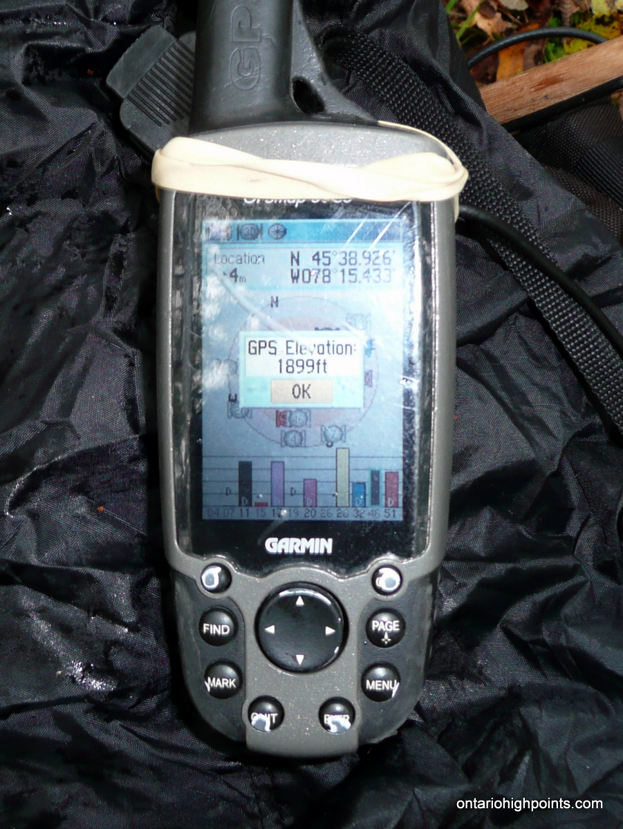
GPS recorded height: 1899 feet / 579 meters
Lat/Lon: N45.64877 W78.25722
Date Summited: October 2, 2011
Overview:
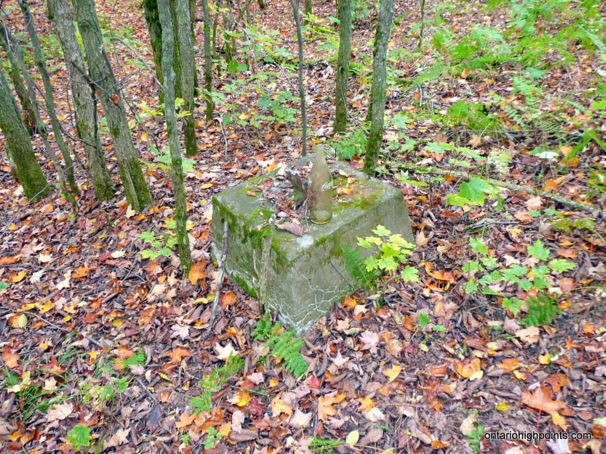
The ‘Southern Ontario High Point’ located within Algonquin Provincial Park is the highest point in Nipissing County and considered the highest point within Southern Ontario. Although there are various definitions of the geographic area of Southern Ontario, the Nipissing Passageway is often used as the demarcation line between Northern and Southern Ontario in provincial documents. Originally an Indian trail between Georgian Bay and the Ottawa River, the trail follows the French River from Georgian Bay to Lake Nipissing. At North Bay, the trail travels overland for 2 km from Lake Nipissing to Trout Lake. From Trout Lake, the trail follows the Mattawa River to the Ottawa River. The Preston Fire Tower once stood at the summit, but now only the footings remain.
Directions:
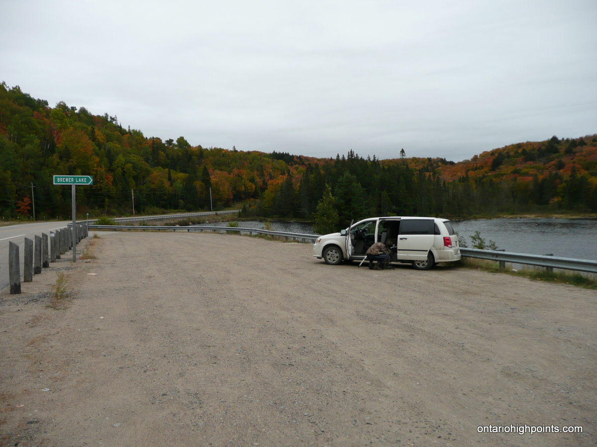
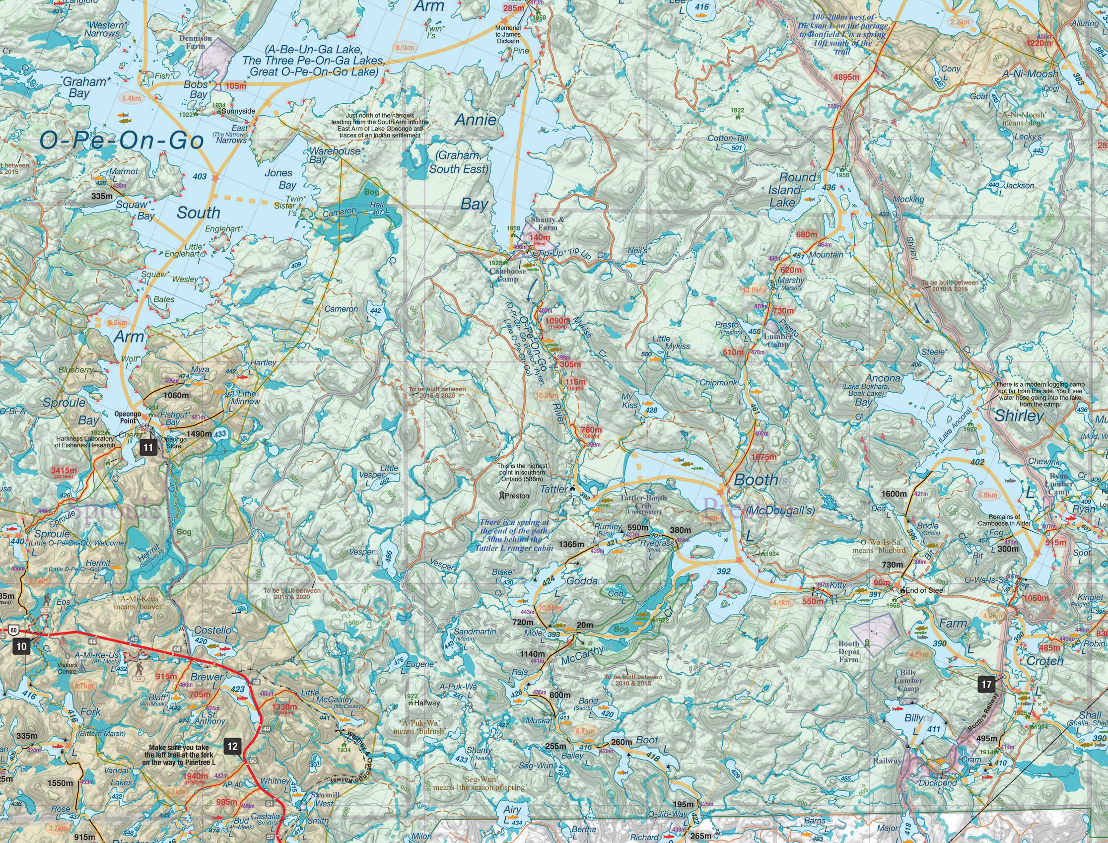
Make your way to the Highway 60 corridor of Algonquin Provincial Park. Depending on your route into the park, buy a day pass at the West or East Gate. Park at either the pulloff alongside Brewer Lake (about 12 km west of Whitney, by the East Gate) or the canoe parking area (Parking Area 12 on www.algonquinmap.com) 1.0 km east/south of the Brewer Lake pulloff. The trailhead of the hike is on the north side of Highway 60 at the start of the portage to Little McCauley Lake.
Follow the portage for 1.4 km until it ends at Little McCauley Lake. Continue on at the portage termination along a trail which branches to the right and follows an old railbed which parallels the shore of the lake. The trail is fairly easy to follow and there is evidence that it is maintained, which is curious since it does not seem to be an official park trail. After heading south to avoid a bay along Little McCauley Lake, the railbed trail meets up with McCauley Creek. 2.7 km from Highway 60, leave the railbed trail (which continues on southeast) and cross McCauley Creek to meetup with a trail which heads towards the eastern end of Little McCauley Lake. This trail eventually rounds the eastern edge of the lake and ends a short distance north of the lake at a blow down only a few hundred feet south from an overgrown, but easily traveled 2-track road.
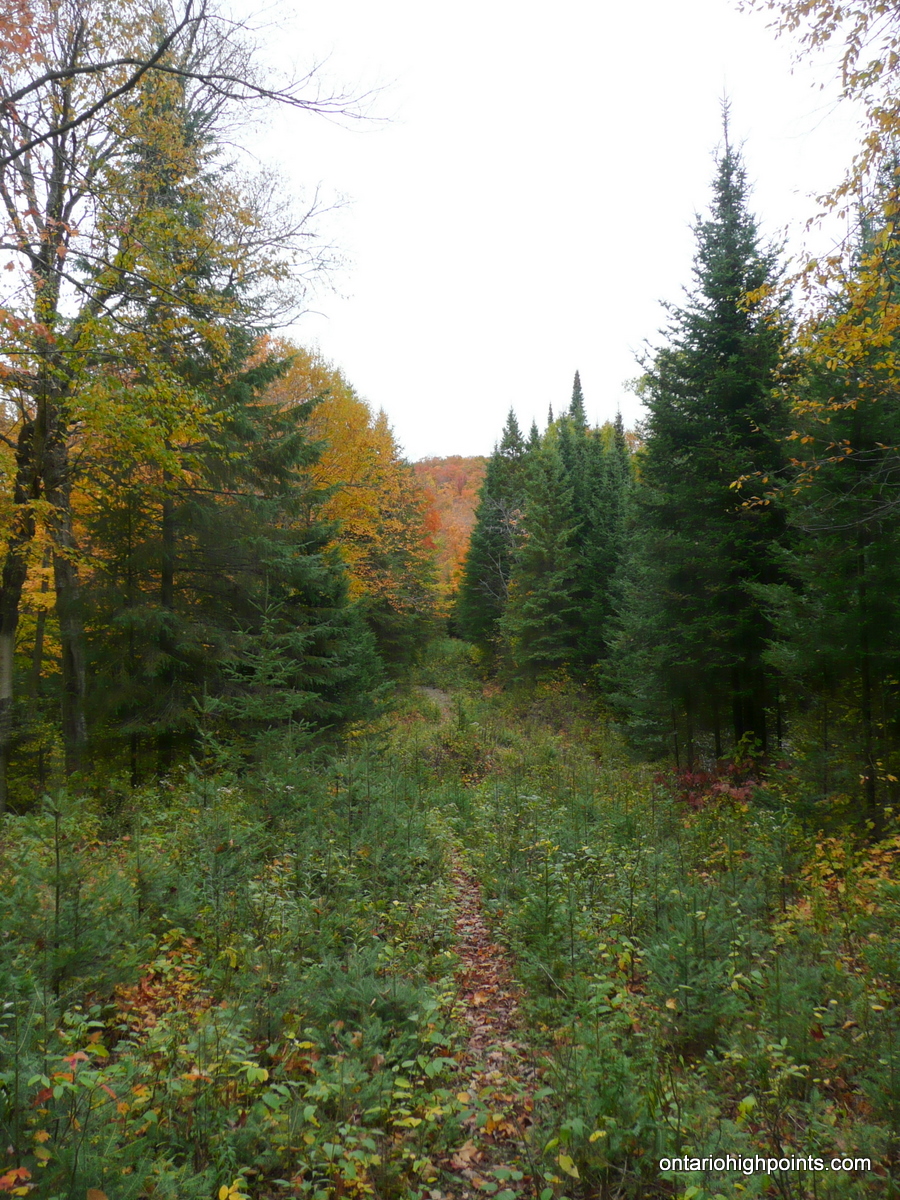
The 2-track road is easy to follow and well graded as it winds its way north towards the Southern Ontario High Point. At the 4.1 km mark (from Highway 60), it passes through an open area where an overgrown road branches to the right. Keep left on the road and follow the road west and then northward. Further on, stay on the main road by turning right, right again and then left at the intersections at the 6.6 km, 6.8 km and 7.4 km marks (respectively).
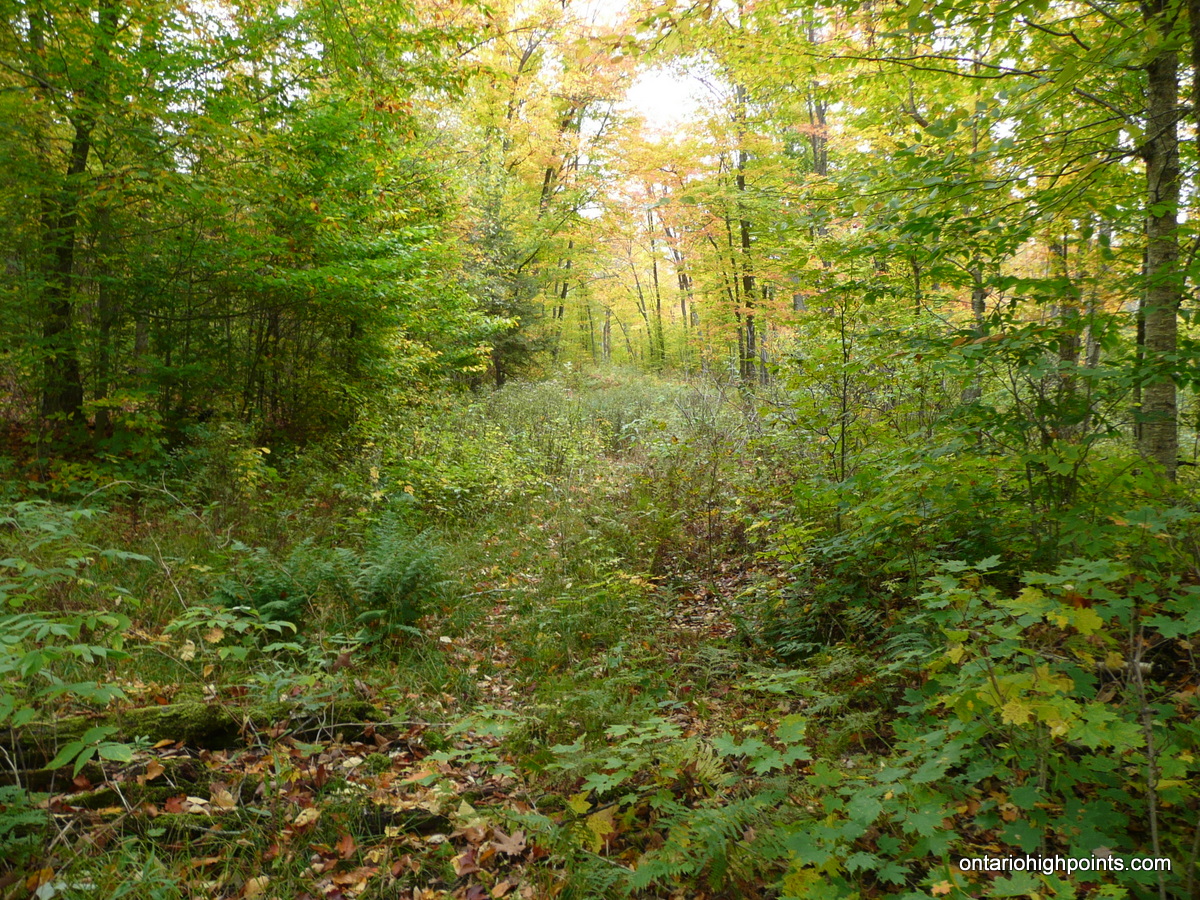
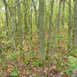
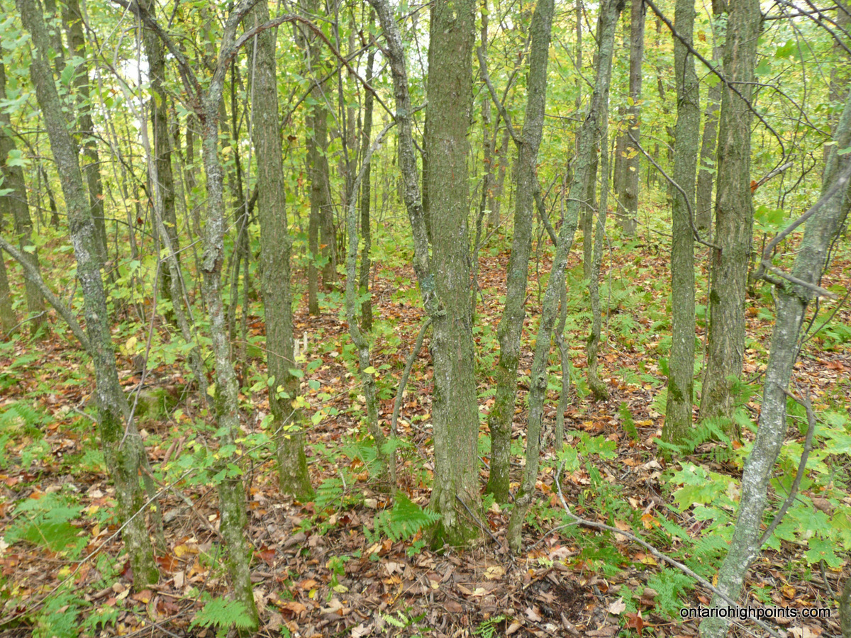
Finally 11.1 km from Highway 60, about 500m southwest of the Southern Ontario High Point summit, begin the bushwhack along a barely discernible path which heads right off the road — northeast into the hardwood forests which dominate the area. Soon after, since path begins to round south away from the summit, the final few hundred meters must be bushwhacked. The majority of the elevation gain of the trip is accomplished during the bushwhack from the road to the summit.
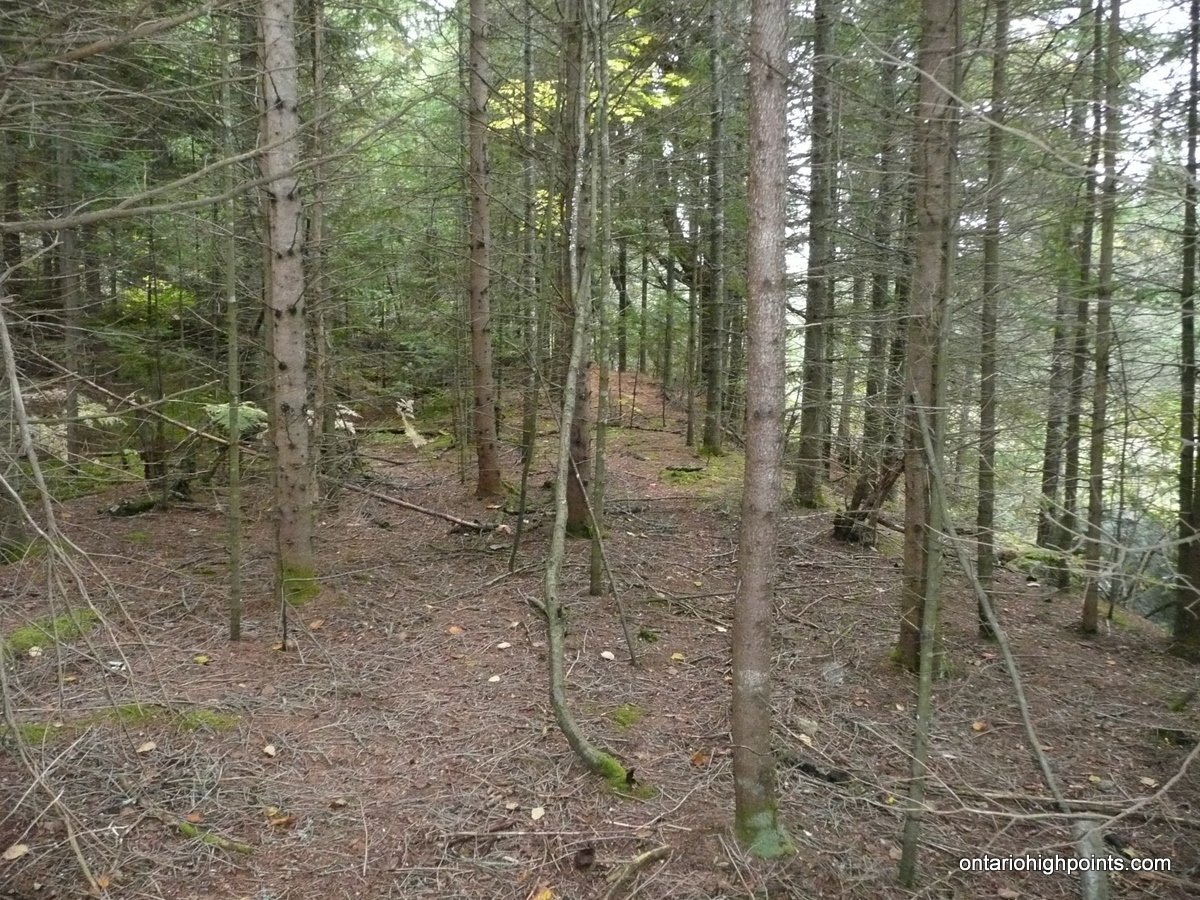
As the summit area is broad and fairly flat, it is difficult to be 100% sure of the high point, however the area near the footings and wreckage of a former fire tower appears to the be the highest point on the Southern Ontario High Point.
View a larger version of the map
Trip Summary:
00.0 km – Parking at the Brewer Lake pulloff along Highway 60 (9:40 AM)
00.1 km – Start of the portage on Hwy 60 to Little McCauley Lake (9:40 AM)
01.4 km – Start of overgrown rail bed along Little McCauley Lake (10:00 AM)
02.7 km – Left off of rail bed trail cross McCauley Creek onto trail (10:25 AM)
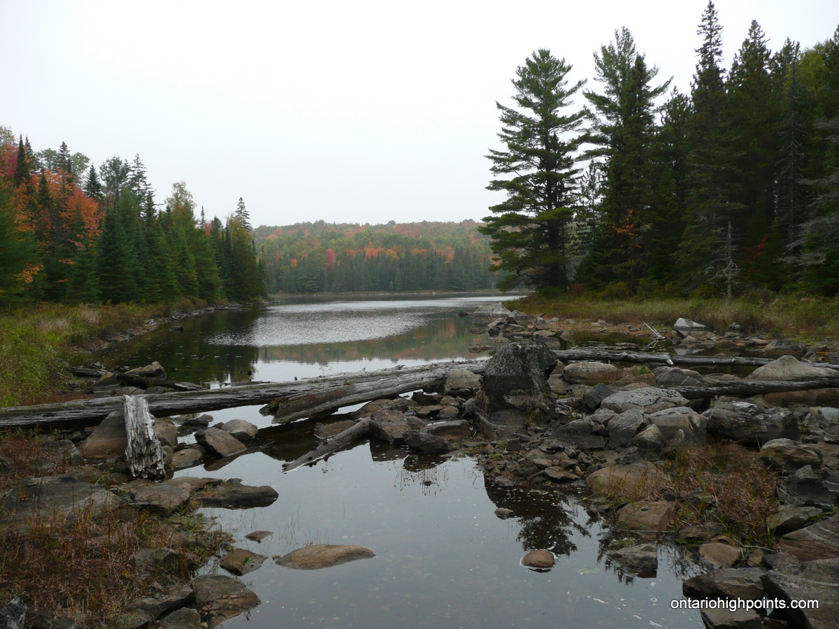
03.6 km – Trail ends at northeast end of Little McCauley Lake. (10:55 AM)
03.7 km – 50m bushwhack to overgrown 2-track logging road. (11:00 AM)
04.1 km – Left turn (keep left) along overgrown logging road. (11:05 AM)
06.6 km – Right turn (keep right) along overgrown logging road. (11:40 AM)
06.8 km – Right turn (keep right) along overgrown logging road. (11:45 AM)
07.4 km – Left turn (go straight) along overgrown logging road. (11:52 AM)
11.1 km – Beginning of bushwhack / overgrown trail to the right. (1:00 PM)
11.8 km – Southern Ontario High Point / remnants of fire tower. (1:20 PM)
23.6 km – Return back to Brewer Lake pulloff area (5:05 PM)
Gallery:
-
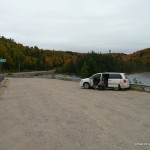
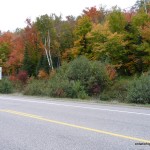
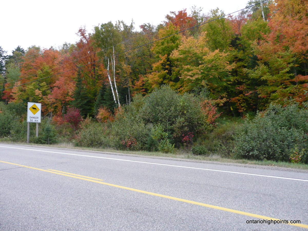
- Parking at the Brewer Lake pulloff along HW 60
-
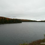
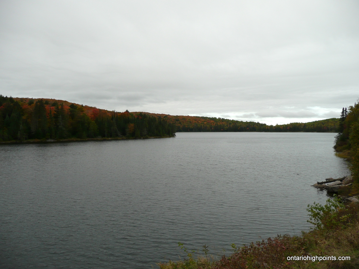
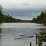
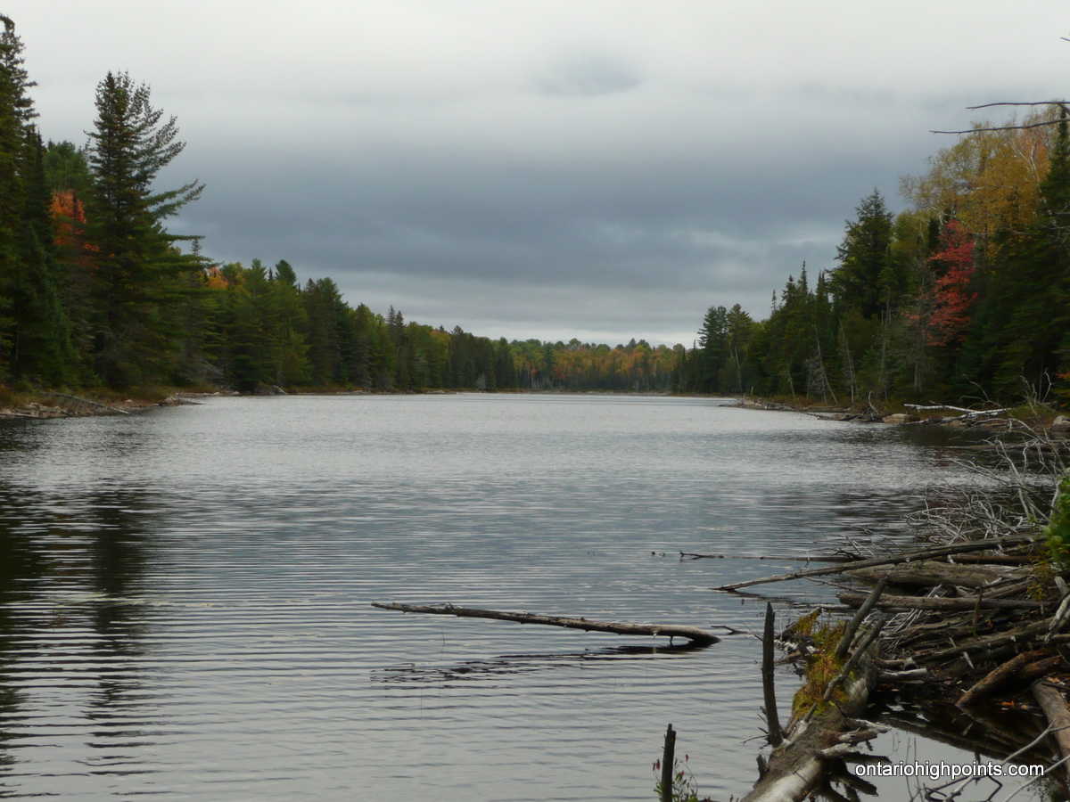
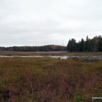
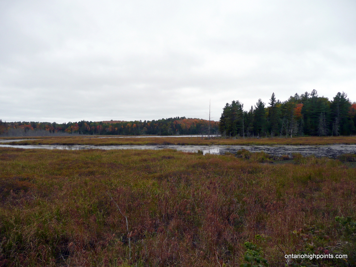
- Brewer Lake
-
- Start of the Portage Trail
-
- Looking east across Little McCauley Lake
-
- Railbed trail along shore of Little McCauley Lake
-
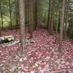
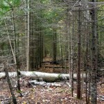
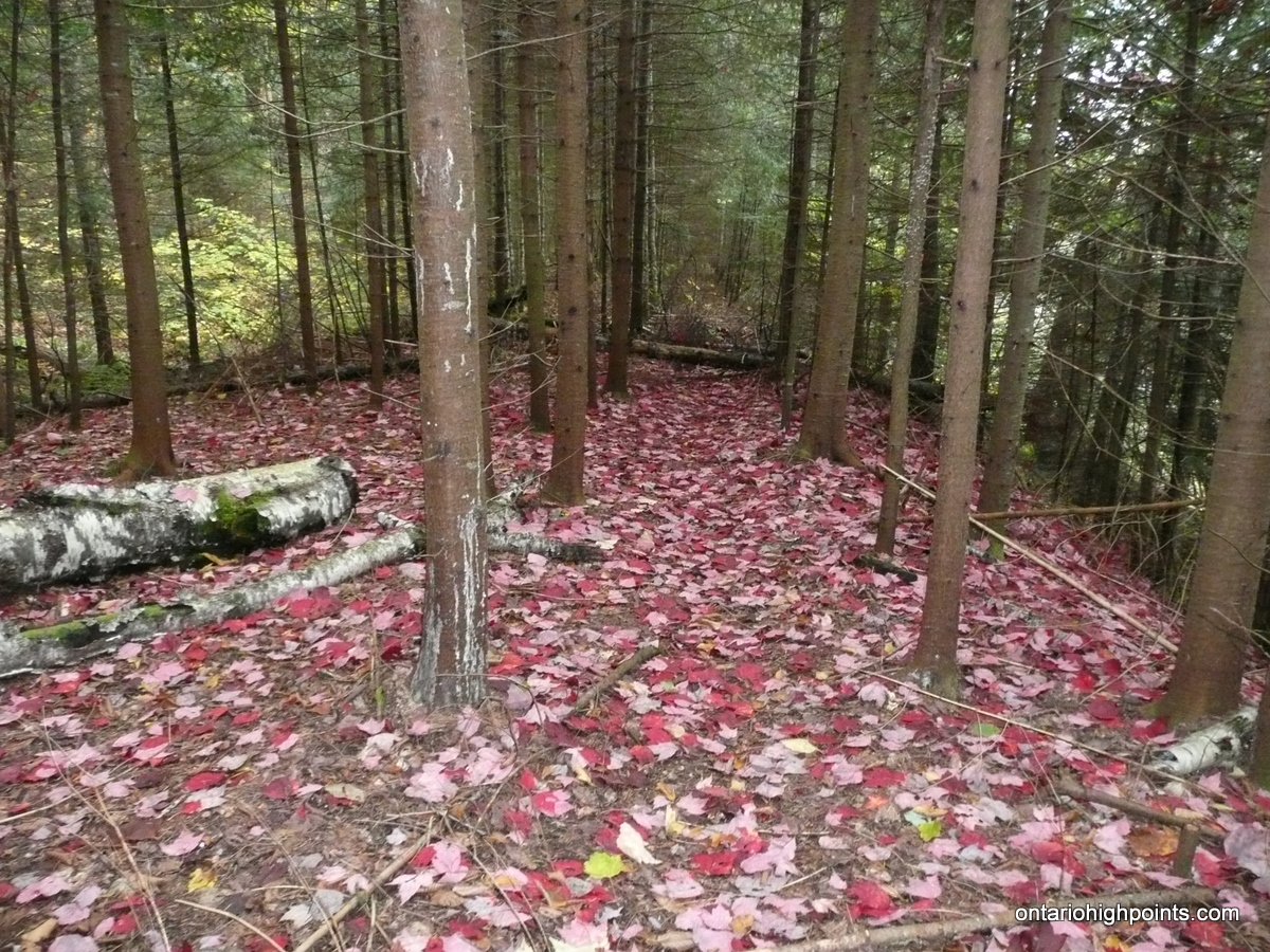
- Red leaves fallen on the railbed trail
-
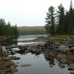
- Little McCauley Lake (at the source of McCauley Creek)
-
- Left Turn off of railbed trail
-
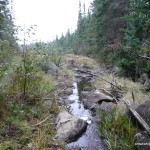
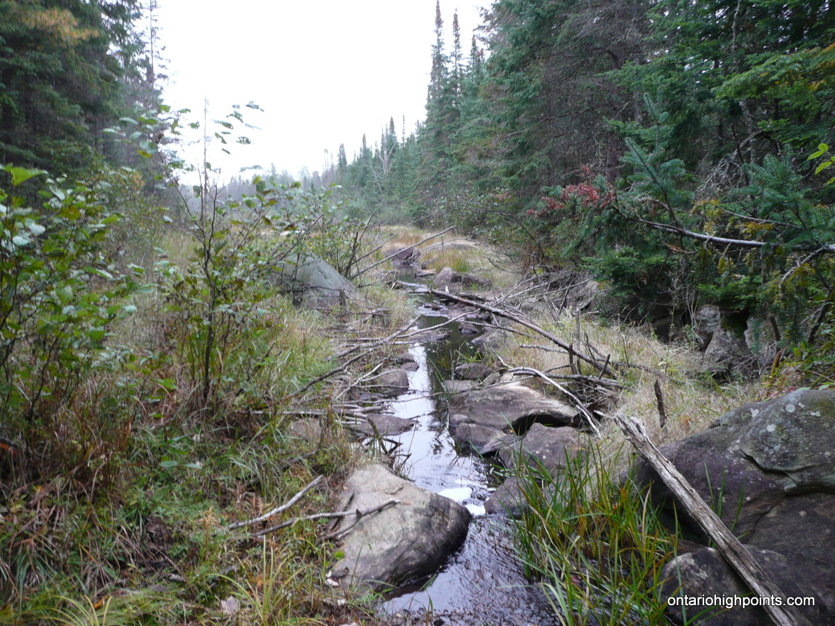
- McCauley Creek
-
- Trail along east shore of Little McCauley Lake
-
- Start of the overgrown logging road
-
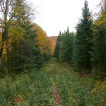
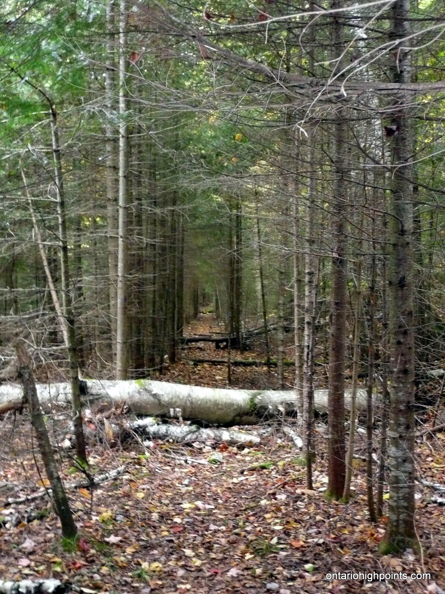
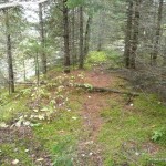
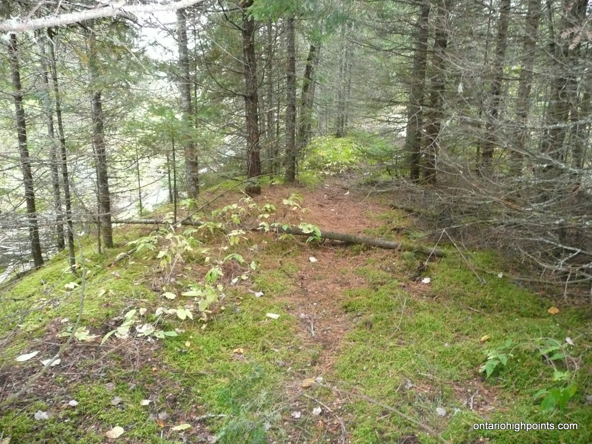
- ‘Herd’ path along overgrown logging road
-
- Vesper Creek
-
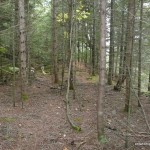
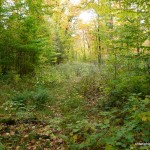
- Highest point on the Southern Ontario HP
-
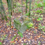
- A fire tower foundation block atop the Southern Ontario HP
-
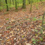
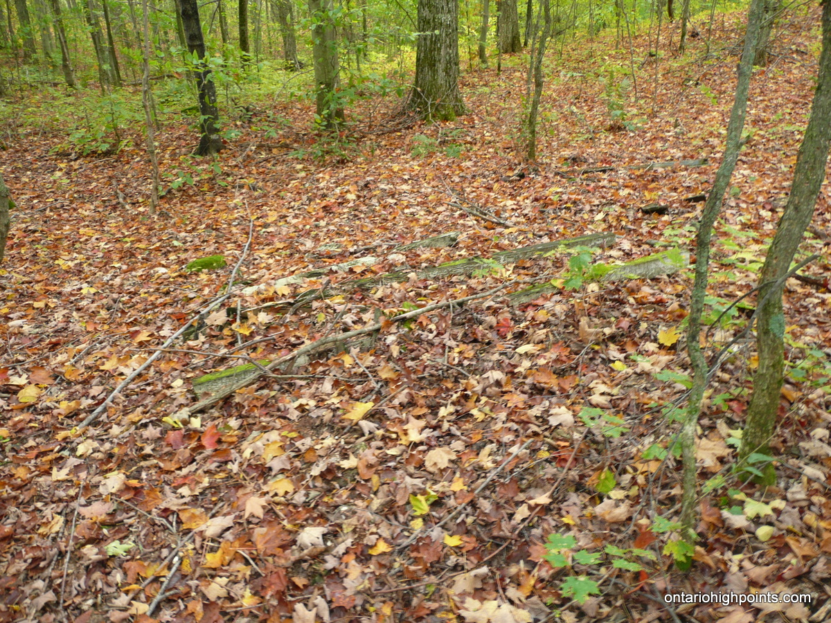
- Remains of a wooden structure at the summit
-
- GPS Elevation
-
- Map courtesy of www.algonquinmap.com
Southern Ontario High Point GPS Track (.gpx format)
Related Links:
Southern Ontario High Point on peakbagger.com
Hi Derek .. any details as to your fitness level, the trail conditions, air temperature, time taken, etc? I’m just wanting to get a feeling for the “difficulty level” and “time involved”.
Hi Barry,
The hike took us just under 7.5 hours (9:40 AM to 5:05 PM) to hike the nearly 24 km to and from the peak and taking a few breaks along the way. The trails were in pretty good condition, a lot better than I was expecting. Once on the overgrown 2-track the route is fairly flat and easy to follow (although, watch out for all the waist high raspberry canes). The bushwhacking portion is only 500m (short by my standards) and through fairly open hardwood forest. In my opinion, the main difficulties are the trip length (it’s a full day outing at 24 km) and navigating the trail around Little McCauley Lake (especially if you lose the trail at McCauley Creek). The Weather Network says there was a high of 8C which is about right, and there where light showers on and off during our trip.
I was looking for hills and mountains and found your website, ‘High points in Ontario, thanks for sharing the info.
Cheers,
Zafar