Marne Peak
Posted by Derek on Aug 18, 2012

Height: 2123 feet / 647 meters
Lat/Lon: N46.9562 W84.1188
Clean Prominence: 509 feet / 155 meters
Line Parent: Ogidaki Mt
Key Col: N46 59.010 W84 01.024 (1640ft / 500m)
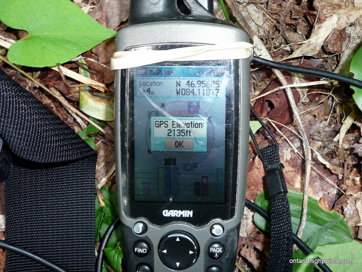
GPS recorded height: 2135 feet / 651 meters
Date Summited: August 3, 2012
Overview:
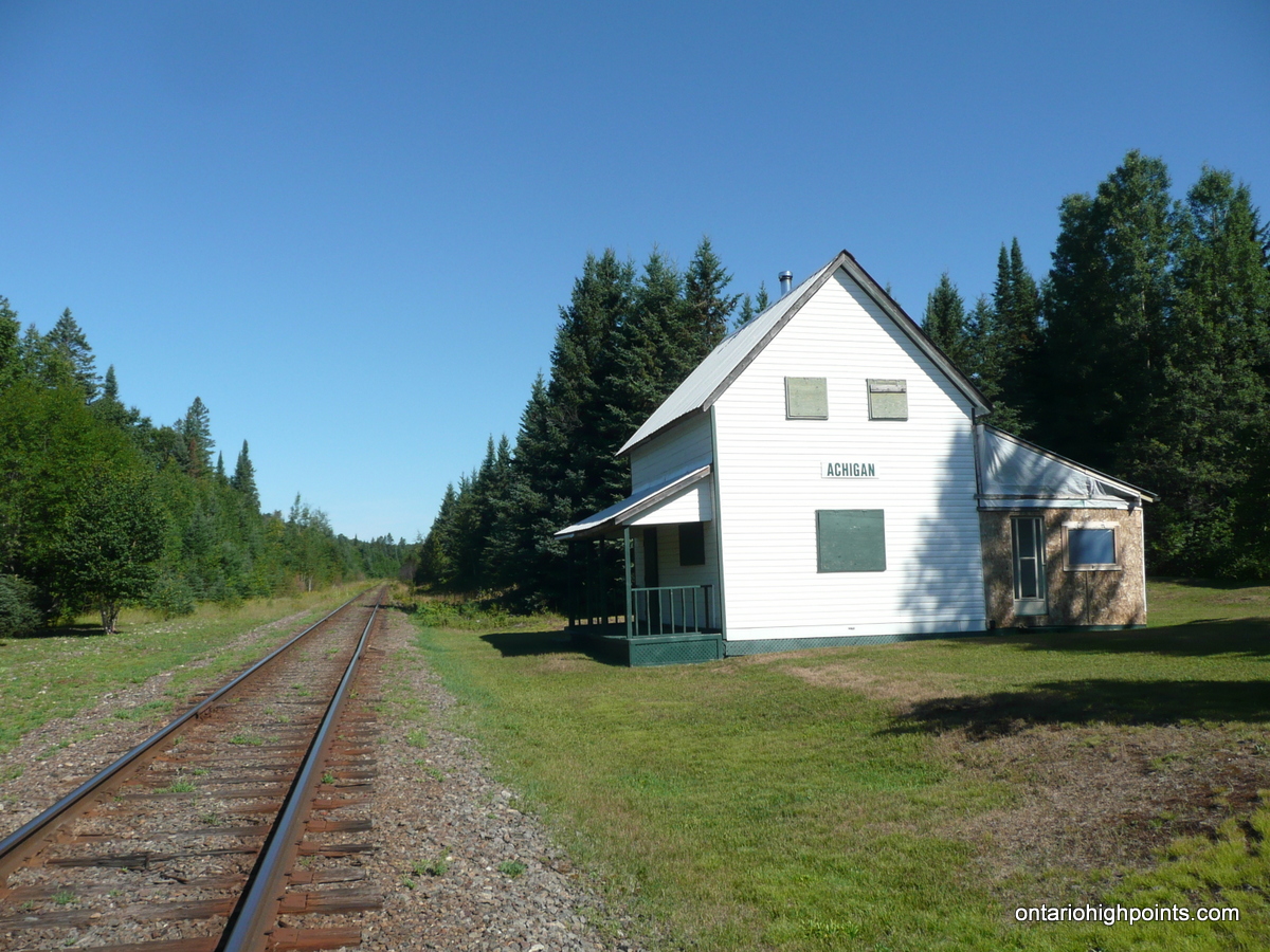
Located in the hills southwest of Ogidaki Mt., Marne Peak is the most southern 2100 footer peak in the Algoma Highlands. The peak has no official name and no significant nearby body of water so it has been named for the township in which it resides, Marne. The Algoma Central Railway passes within 8 km west of the peak at the Achigan and Ogidaki stations.
Directions::
From Sault Ste. Marie, take Highway 17 North and at the junction with Highway 556, turn East. Stay on 556 for 39 km and then turn left on Highway 532 north to Searchmont. Follow Highway 532 through the communities of Searchmont and Wabos for 14.3 km to the end of the road. Turn left onto the dirt road to Achigan Lake.
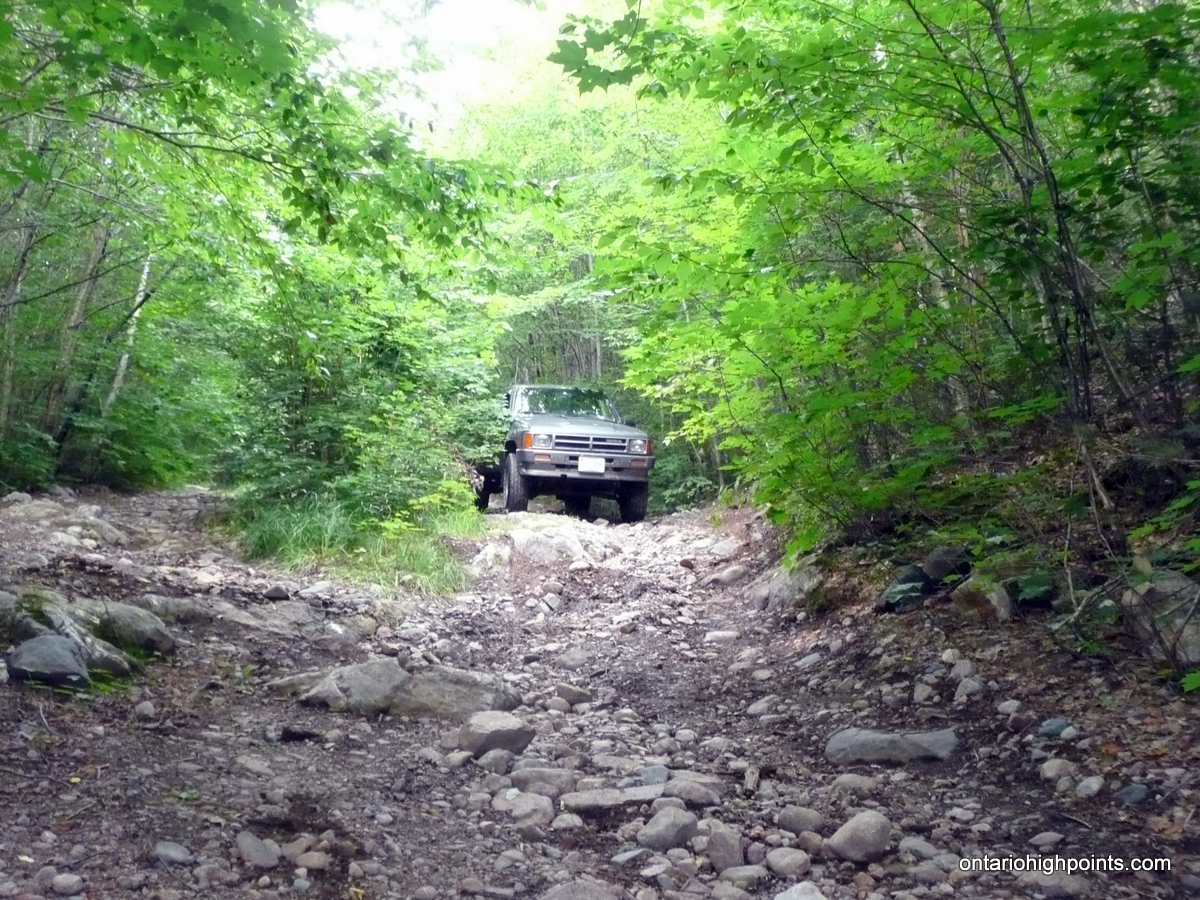
Stay on the main road to Achigan for 17.1 km where it joins up with the old Achigan road. (The old Achigan road is no longer a viable route from HW 532 as from this point back to HW 532 is no longer maintained, contains major washouts and crosses the ACR tracks illegally). Turn right at the intersection and proceed northwest towards Achigan Lake. At the 19.3 km, you pass by the old Achigan Station Section House which is now privately owned. At 21.3 km turn right as the the main road forks to the left. (The main road heads to the south end of Achigan Lake which is a access point for the boat access only camps on the lake.) The road beyond this turn is very rough and is not recommended for anything but high clearance 4×4 trucks and ATVs.
1.7 km beyond the south Achigan turnoff (23.2 km mark), the road to the north end of Achigan Lake forks to the left. Park just beyond this fork at a small clearing. The road beyond this point is rough and narrow and is only suitable for ATVs and dirt bikes.
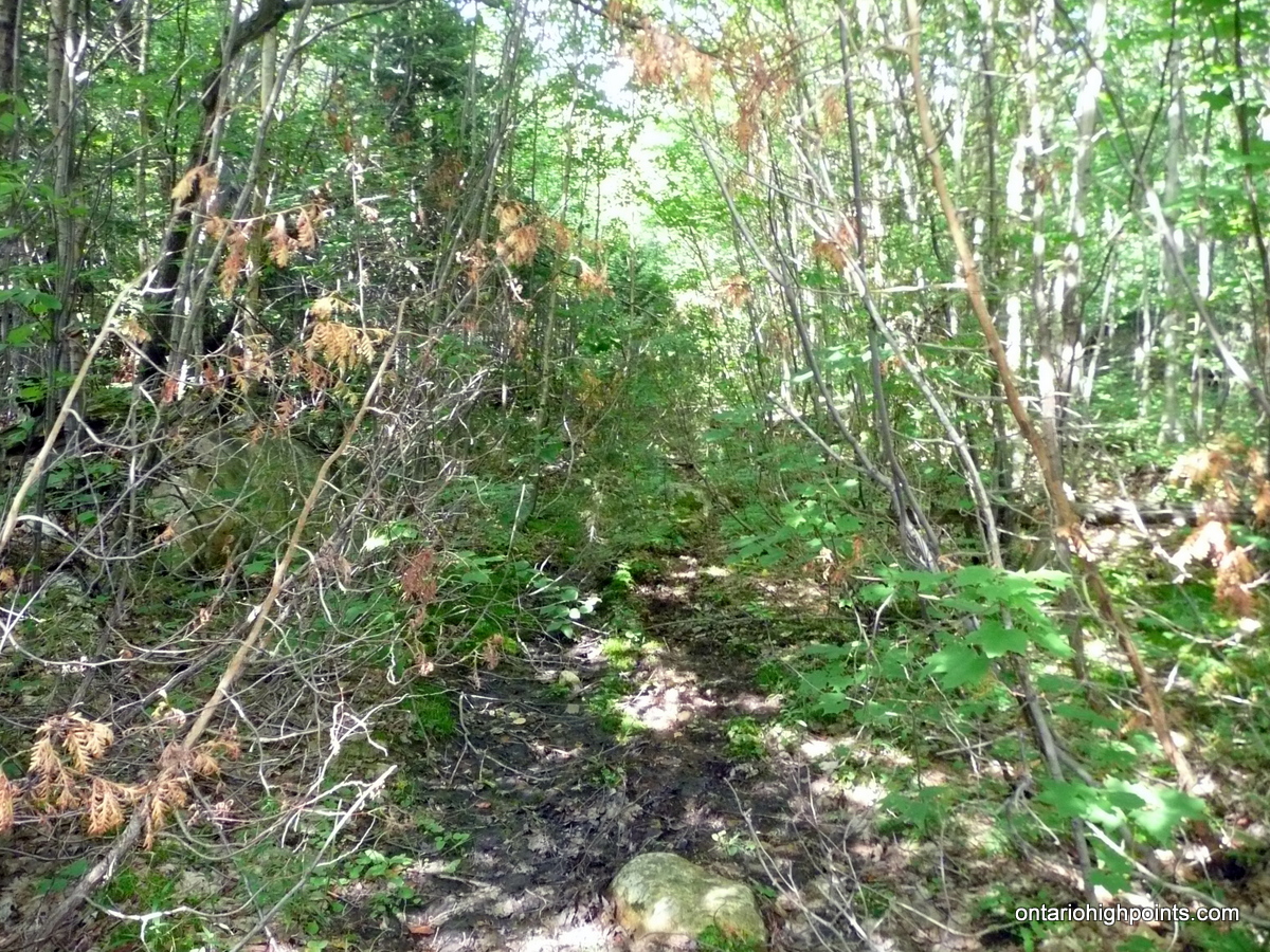
Continue on foot or on bike along the ATV path for 1.5 km to where a beaver dam has flooded the entire area including the road. It is possible to avoid most of the flood zone by crossing along the top of the beaver dam. Beyond the beaver dam, continue north for 0.6 km to a hidden right turn onto an overgrown path. 1.8 km from the right turn, the ATV path ends at a creek and beaver pond. Cross the stream along the top of this much shorter beaver dam to a trail that is almost completely overgrown. If riding bikes, this is a good place to stash them.
The overgrown trail runs northeast, parallel to a small creek. After about 1.5 km from the beaver dam, the trail disappears entirely and the rest of the route to Marne Peak must be bushwhacked. It is recommended to continue bushwhacking northeast for 1.0 km until arriving at a large sloping rock outcrop. This is the site of an old logging chute which was used to flush logs down off the mountain.
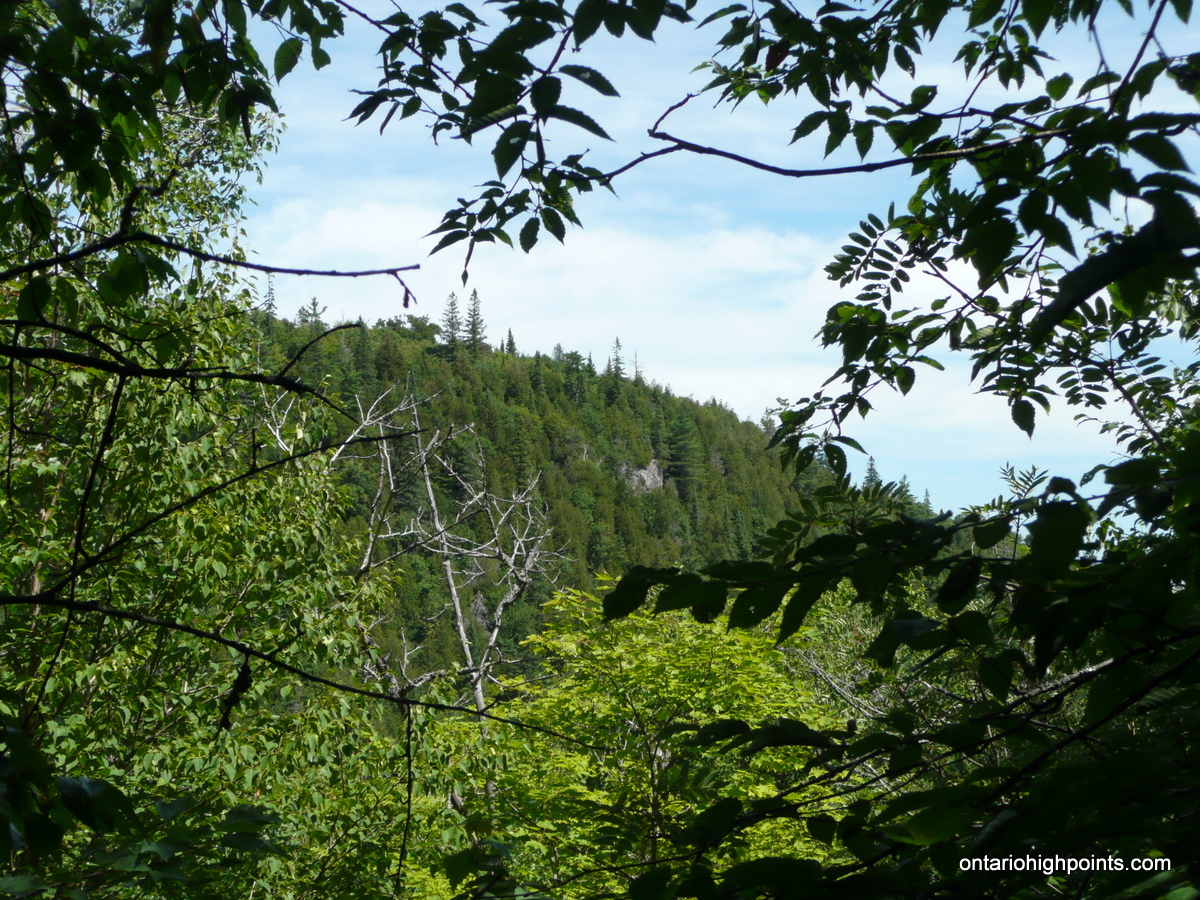
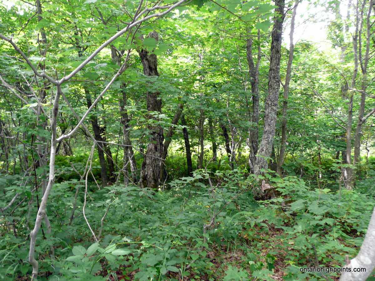
From the old logging chute, head north and then northwest following the contours and then gradually ascending the notch towards the saddle between Marne Peak and it’s sub-peak to the south. As Marne is partially crowned by steep cliffs along it’s southwest side, head northwest along the base of the cliffs to where they taper off and the ascent is more gradual. Once reaching the top of the cliffs, head northeast towards the flat summit area. There are several candidate high points, however a small hill 70 meters south-southeast of the OBM spot point appears to be the highest. The summit is wooded and there are no views.
Note: It may be possible to access the peak from the north via a series of ATV / overgrown roads leading from Mile 38 Road and McDonald Creek Road, however this route has not been confirmed.
View a larger version of the map
Trip Summary:
00.0 km – Turned left from HW 532 onto dirt road to Achigan Lake (9:40 AM)
11.9 km – Stayed left on main road (10:05 AM)
17.1 km – Turned right onto road parallel with the ACR (10:25 AM)
19.3 km – Passed by old Achigan Section House (old train station) (10:30 AM)
21.6 km – Right turn (Left turn goes to south end of Achigan Lake (10:45 AM)
23.2 km – Parked truck in small clearing (10:53 AM)
00.0 km – Departed parking area along ATV trail on bikes (11:15 AM)
01.5 km – Arrived at flooded area with beaver dam crossing (11:30 AM)
02.1 km – Hidden right turn (11:50 AM)
03.9 km – ATV trail ends at small beaver dam crossing – overgrown trail continues on the far side – stashed bikes (12:25 PM)
05.4 km – Trail eventually disappears. Bushwhacking begins. (1:00 PM)
06.2 km – Start of steep climb up to ridge (1:20 PM)
07.5 km – Route up to summit avoiding cliffs (2:25 PM)
08.0 km – Arrived at Marne Peak summit (2:45 PM)
08.0 km – Departed Marne Peak summit (3:15 PM)
08.6 km – Arrived at base of cliffs below Marne Peak summit (3:30 PM)
09.8 km – Bare rock outcrop / old logging timber chute (4:05 PM)
10.9 km – Arrived back at the overgrown trail (4:30 PM)
13.5 km – Reclaimed bikes stashed at the beaver dam crossing – start of ATV road (5:00 PM)
14.8 km – Arrived back at flooded area with beaver dam crossing (5:30 PM)
16.3 km – Arrived back at the truck (5:50 PM)
00.0 km – Departed parking area (6:05 PM)
23.2 km – Arrived back on Highway 532 (7:00 PM)
Trip Report:
My 3rd day in Algoma. Dan picked me up mid-morning at his friends’ Jack and Anne’s place. The day before on my way back from climbing Alvin Lake Peak, Jack and Anne had graciously welcomed me to set up my tent on their property just outside of Heyden. After enjoying a coffee at Jack’s ‘garage workshop’ we headed off down the road to Highway 556 and the turnoff to Highway 532. On our way through Searchmont and Wabos, Dan explained to me that Searchmont was fighting to stay alive, the population was declining and moving away. Many of the buildings and residences were boarded up and abandoned.
We drove along 532 until it ended and then we turned left onto the fairly well maintained gravel road to Achigan Lake. Following the semi-circular route to the old Achigan Road, the road first headed north, then gradually west and then southwest. At a couple of spots we had to get out to make some road repairs before proceeding.
After the right turn onto the old Achigan road (which parallels the Algoma Central Railway) we passed by the old Achigan Station Section house where we took some photos. We continued on up the road, passing by the access road to the cottage and boat launches at the south end of Achigan Lake. After passing this intersection the road got very rough in a few places. After climbing one particularly bad spot Dan mentioned he was surprised his old truck had successfully made the climb. A good thing, as there were no spots to bail out and turn around on the hill — Dan had committed to reach the top of the hill.
We decided to park the truck when the road split again, at a small sandy clearing which enabled Dan to turn his truck around to face the road back down. We had brought our bikes, which we hoped would save us some time on the trip in, and after gearing up, we headed out along the ATV road.
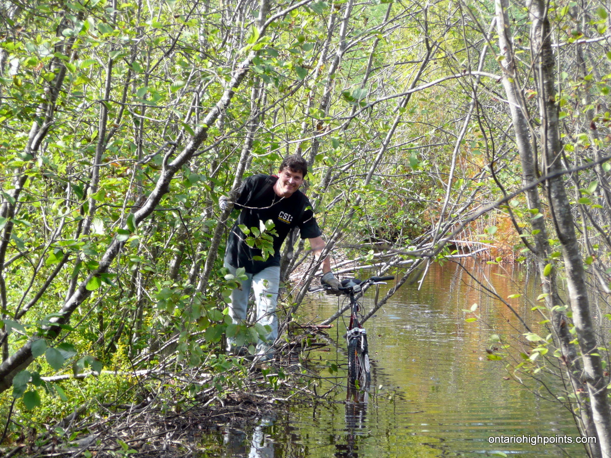
After riding, pushing and dragging our bikes over the numerous fallen trees and rough portions along the route, we finally reached a flooded beaver dam area which Dan had checked out a week before on his dirt bike. I had changed into my crocs back at the truck and was prepared to wade across, however it was pretty deep in a few spots and I found I was able to walk along the top of the beaver dam, the cause of the mess. After dodging around several trees with our bikes atop the beaver dam, we made it across.
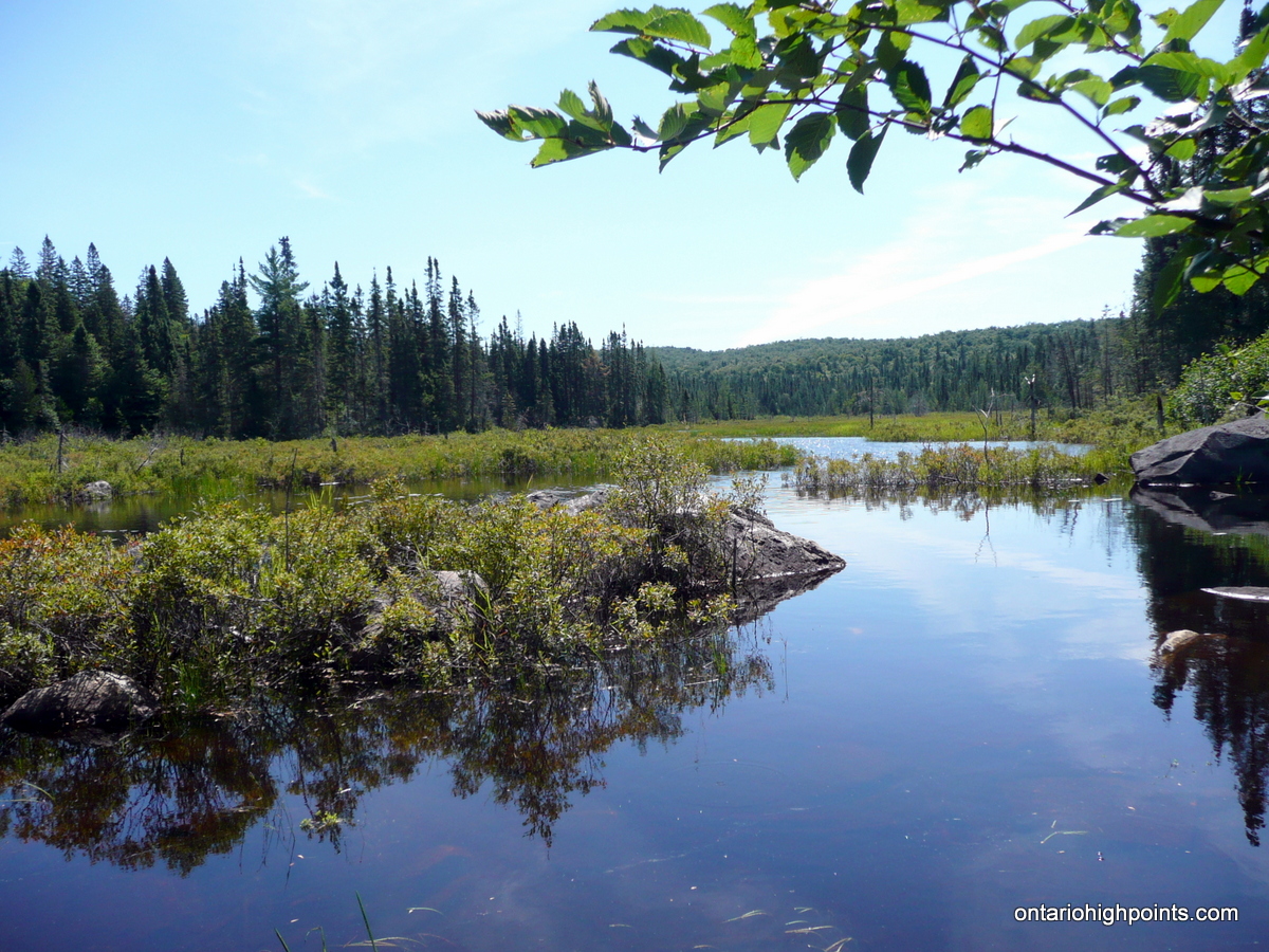
We biked on ahead and shortly emerged at another beaver dam. This was unexpected and after conferring with our maps, it was determined we missed a cutoff just a few yards back. We backtracked about 100 meters, found an overgrown turnoff to the right (our left) and followed it east. Half an hour later we arrived at a small creek crossing. A beaver dam built across the creek had created a picturesque beaver pond. We decided to stash our bikes and after changing footwear we continued on foot. We crossed over the beaver dam and found that the ATV path was no more — it had been replaced by a much more overgrown single track trail.
We followed the overgrown trail (which eventually disappeared completely) northeast for 1.5 km and then we continued on by bushwhacking through open woods. At about 500 meters from the start of the bushwhack, we decided to ascend up to the ridge via a small gully which we though would be a more gradual ascent then heading straight up the peak. As we neared the top, our gully route ended up being quite steep and after climbing over the ridge, we found we had to drop back down into Marne Peak’s southern saddle. Luckily the steep climb up was not a complete waste as we got our first glimpse of the summit of Marne Peak.
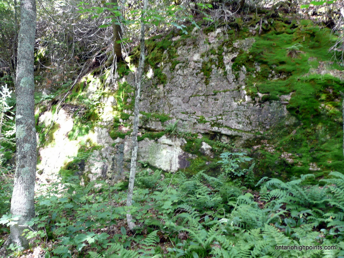
We navigated the steep drop to the saddle where we faced a long line of steep rock faces that didn’t look too easy to climb. After consulting our maps, we headed north and followed along the base of the cliffs in anticipation that an easier approach would present itself. It did not take long, after walking for about 200 meters, the steep rock faces gave out to a steep hillside that allowed us to continue our ascent to the summit.
Heading east, we stumbled through a fern glen (a seemingly common feature of Algoma’s Peaks) to the summit. As the summit region was fairly broad and wooded, it was fairly difficult to know which rise was the actual highest. 2 spots, one just north and one just south of the Ontario Base Map spot height appeared to be potential high points — However Dan and I agreed that a point just 70 meters to the south appeared to the the highest.
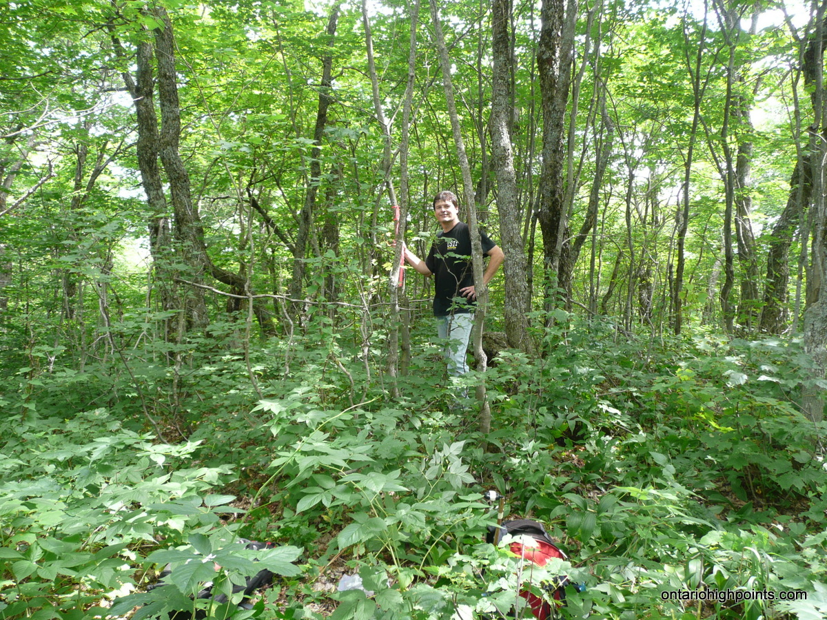
We stopped for a late lunch at the summit, took the required summit photos and waypoints and prepared for our descent. For our descent, we decided to retrace our route back to the saddle but then instead of continuing back up the other side, we would follow the notch southeast off the mountain and skirt the west edge of a small pond just 600 meters south of the summit.
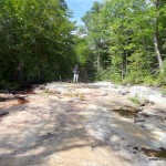
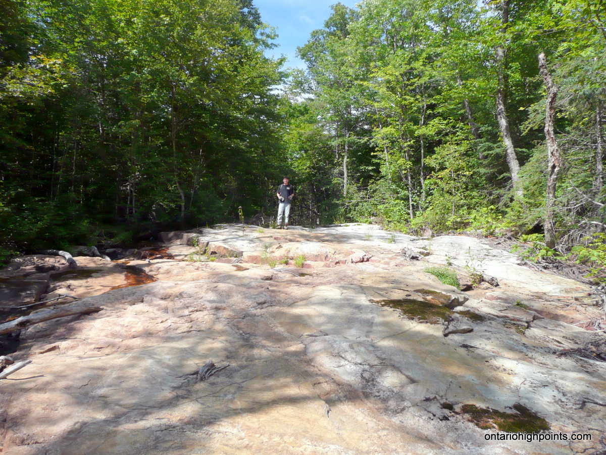
This route ended up being much easier even if less direct. As we followed along the contours south of the pond, something caught my attention out of corner of my eye. To my left I spotted a strange white landform — like a shiny white road in the middle of the Algoma wilderness. I went to investigate and discovered a 100 meter long sloping rock face. Dan had a theory and confirmed it when he found some old sawed logs half buried at the bottom. It was an old log chute which would have been used to send logs off the mountain with a rush of water released from a dammed creek higher up.
After finishing up our exploration of the logging chute, we continued back down to the overgrown trail which lead us back to our bikes at the beaver pond. We made better time now that we were on our way back down with the bikes instead of up and quickly arrived at the flooded beaver dam area. After crossing along the dam, we dragged our bikes up the final hill and then rode the rest of the road back to the truck.
Back at the truck we packed up our bikes, changed our clothes and headed back along the Achigan Lake road. I got out at the really rough spot to film Dan driving down the hill. As I was filming it, a thought occurred to me that where I was sitting was perhaps not the safest spot if Dan happened to lose control. I stumbled back off the road into some trees in an attempt to give myself some space, adding a ‘nice’ shaking motion to the video I was taking.
Our trip back out went smoothly, as we passed several trucks and ATVs on their way into Achigan Lake for the long weekend. Dan dropped me off back at Jack and Anne’s place and we said our farewells. Having decided not to return to Sudbury that night, I passed the night chatting with Jack and Anne, enjoying more than a few glasses of Jack’s homemade wine.
Gallery:
-
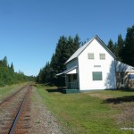
- Achigan ACR Section House
-
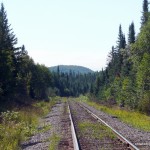
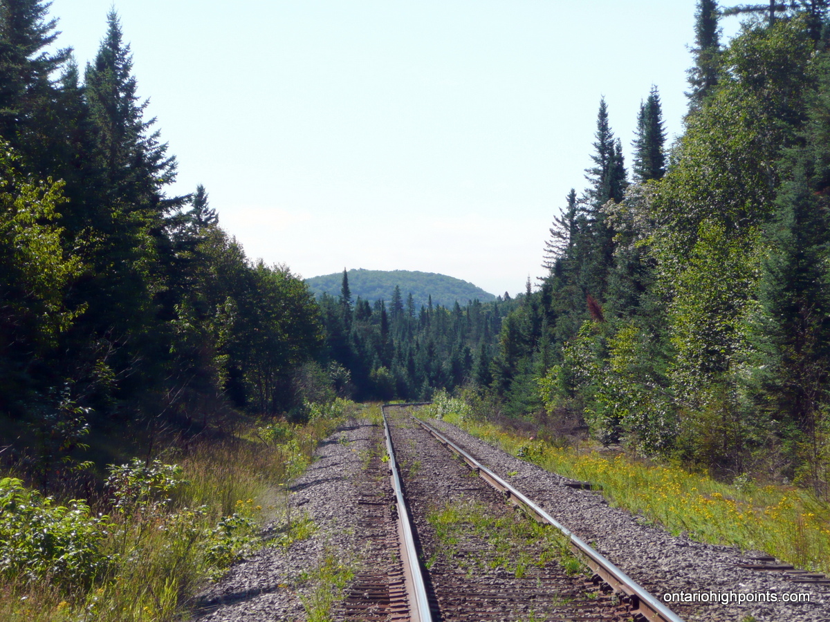
- Looking down the tracks at Achigan
-
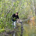
- Dan crossing the beaver dam
-
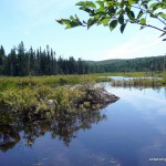
- Beaver Pond at the end of the ATV trail
-
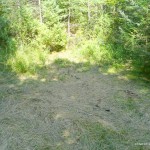
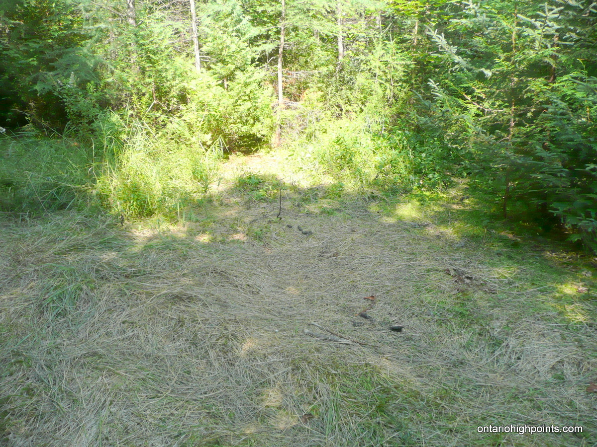
- Grass flattened by moose
-
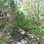
- Overgrown trail
-
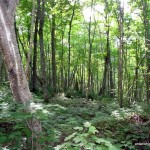
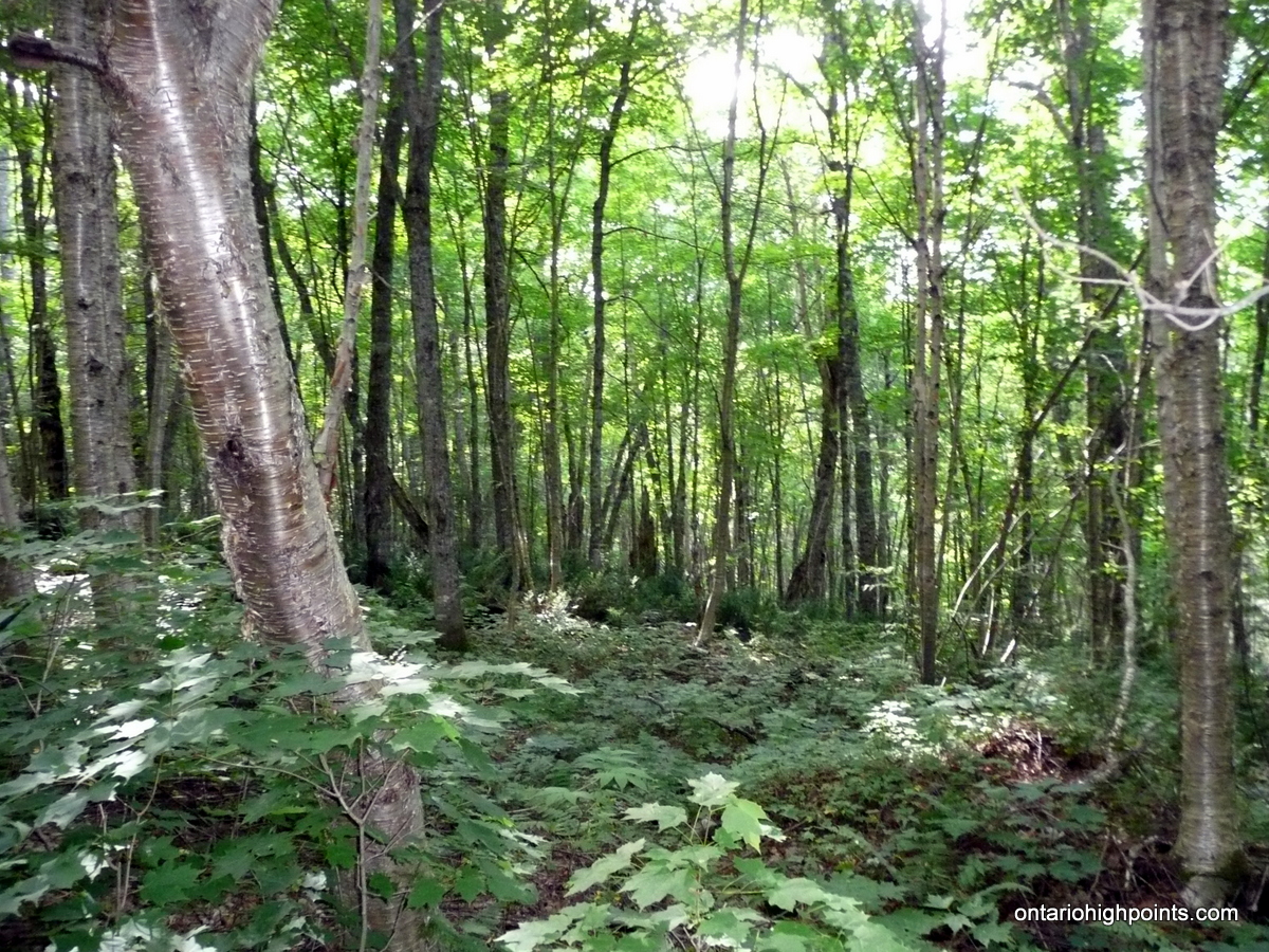
- Bushwhack through deciduous forest
-
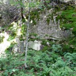
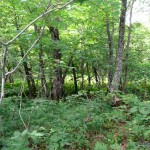
- Marne Peak
-
- Small cliffs below the summit area
-
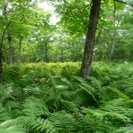
- Fern glen near summit
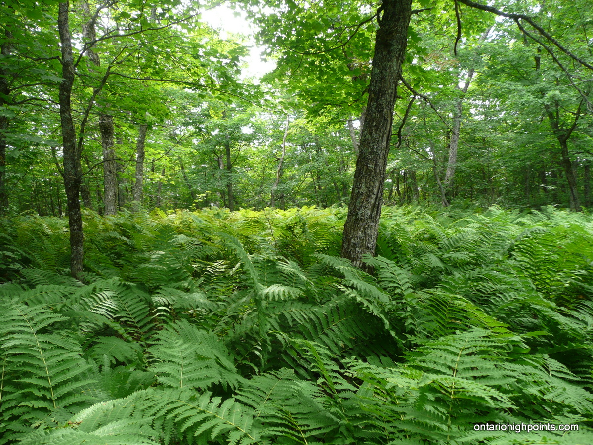
-
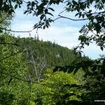
- ‘View’ from the summit
-
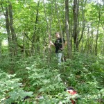
- Dan at the summit
-
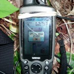
- GPS Elevation of Marne Peak
-
- Old logging chute
-
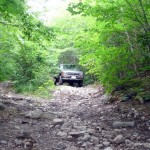
- The road near Achigan Lake
-
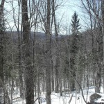
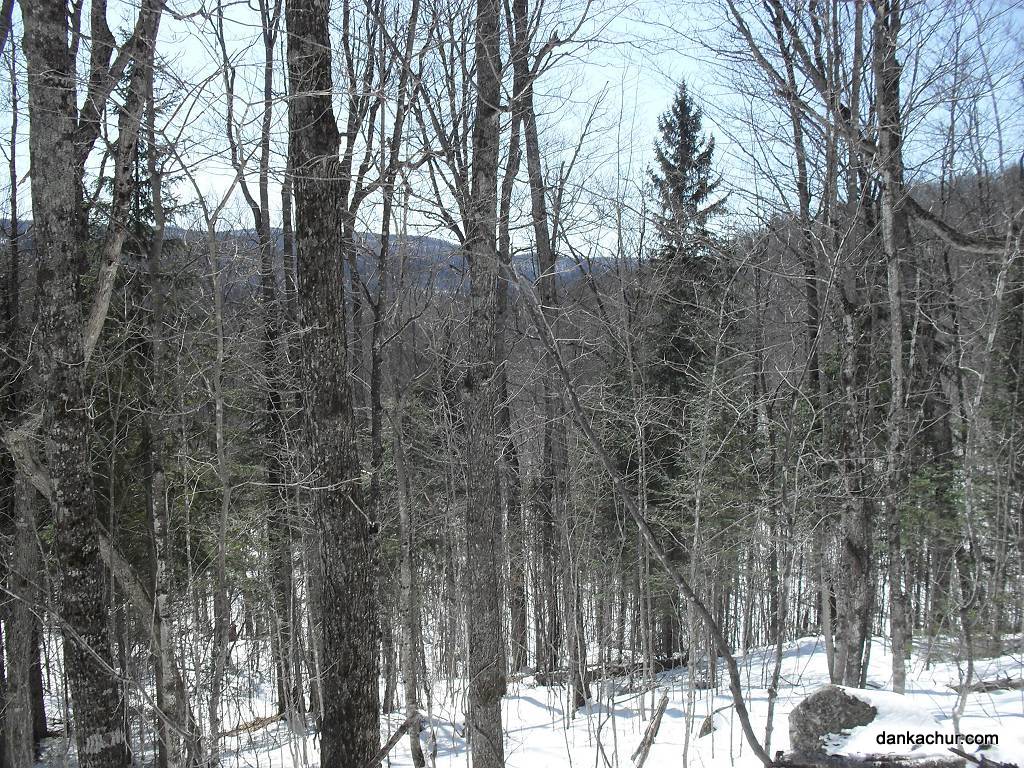
- Winter photo of Marne Peak Ridge
Videos:
GPS Track:
Marne Peak GPS Track (.gpx format)
Related Links:
Marne Peak on dankachur.com
Marne Peak on Peakbagger.com
MNR Closes McDonald Creek Rd