Hastings County High Point
Posted by Derek on Aug 18, 2010
Height: 1778 feet / 542 meters
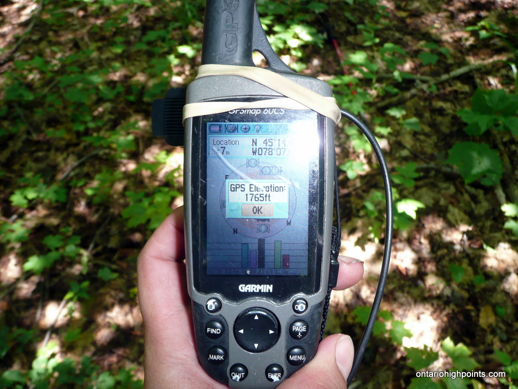
GPS recorded height: 1765 feet / 538 meters
Lat/Lon: N45 14.440 W78 07.695
Date Summited: July 11, 2010
Directions / Trip Summary:
Hastings County High Point lies just outside the southeastern edge of Algonquin Park. There are many ATV trails along the route, which starts from the end of the maintained section of Mink Lake Road.
From Bancroft, take Highway 127 north to Lake St. Peter for 34.9 km and turn left (west) onto Mink Lake Road. Follow Mink Lake Road for 11.3 km until reaching a snowplow turnaround area which is a good place to park.
The road beyond this point is rougher and the right turn off onto an ATV trail is only 550 meters ahead. 600 meters from Mink Lake Road, the trail skirts the northeast shore of a small lake, crossing a basic bridge near a beaver dam. The trail runs along the north shore of the lake and becomes more overgrown. 600 meters past the beaver dam, a barely noticeable trail branches to the left which crosses a creek. There are signs of a washed out log bridge here. (If you miss the trail over the creek, the trail swings north and becomes more and more overgrown. Bikers will be able to easily bike in from Mink Lake Road up to this point.)
The trail follows the left shore of the creek but quickly crosses back over to the right side. Barely 300 meters past the first creek crossing, the trail forks. Stay to the right and avoid the washed out bridge crossing to the left.
About 500 meters later, the trail reaches an open area, but the trail keeps right along the edge of the open area, avoiding a small pond directly to the west. Follow the trail for another 250 meters to the bushwhack point. (At this point the trail is not obvious and the forest is fairly easy to pass through, so even though the area is a maze of ATV trails, I found it easiest to bushwhack the last 1 km to the summit).
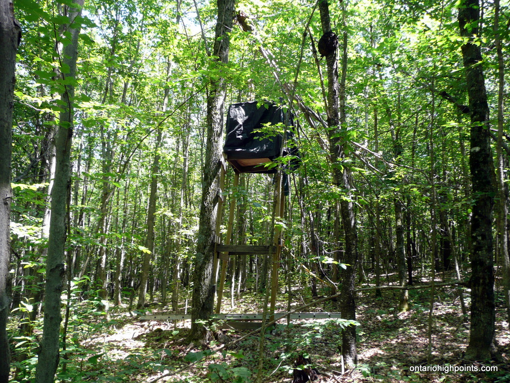
The bushwhack is through mixed / deciduous forest with open undergrowth, which shouldn’t be a problem for most hikers. There is an ATV trail within 100 meters of the summit, but it’s not obvious where it heads out to. It might provide an alternative route to the peak, avoiding the bushwhack. The summit area is broad, a raised hunting blind is near the highest point.
View a larger version of the map
Gallery:
-
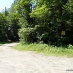
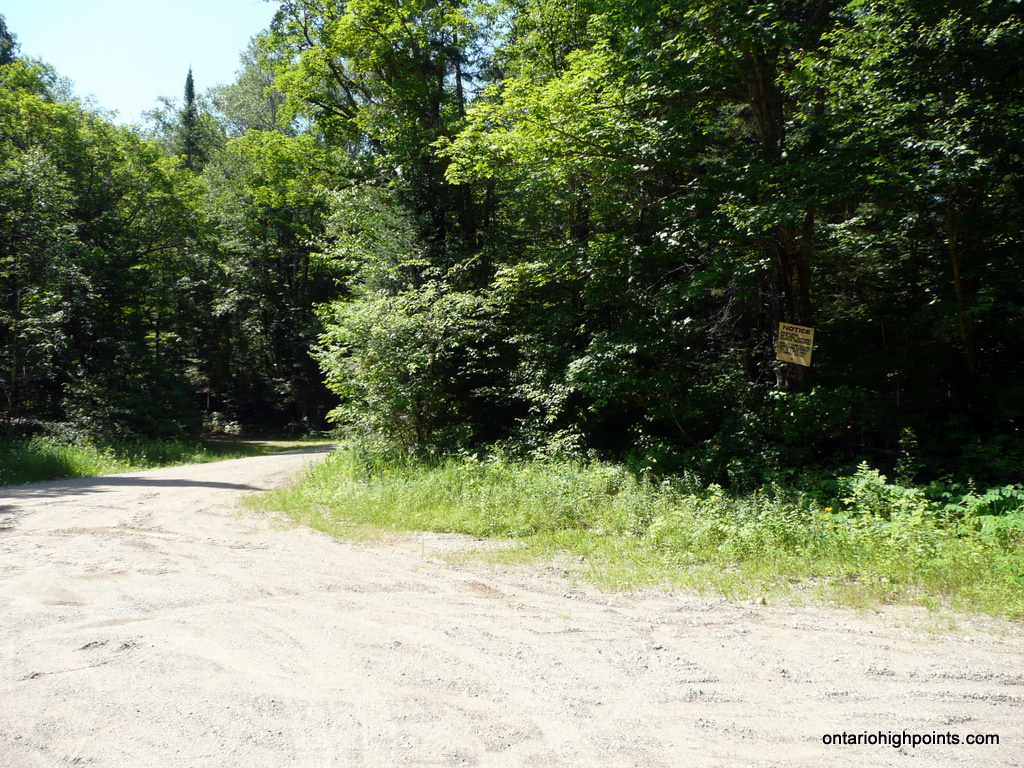
- Snowplow turnaround zone – Parking
-
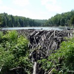
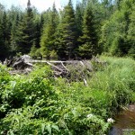
- Beaver dam on route
-
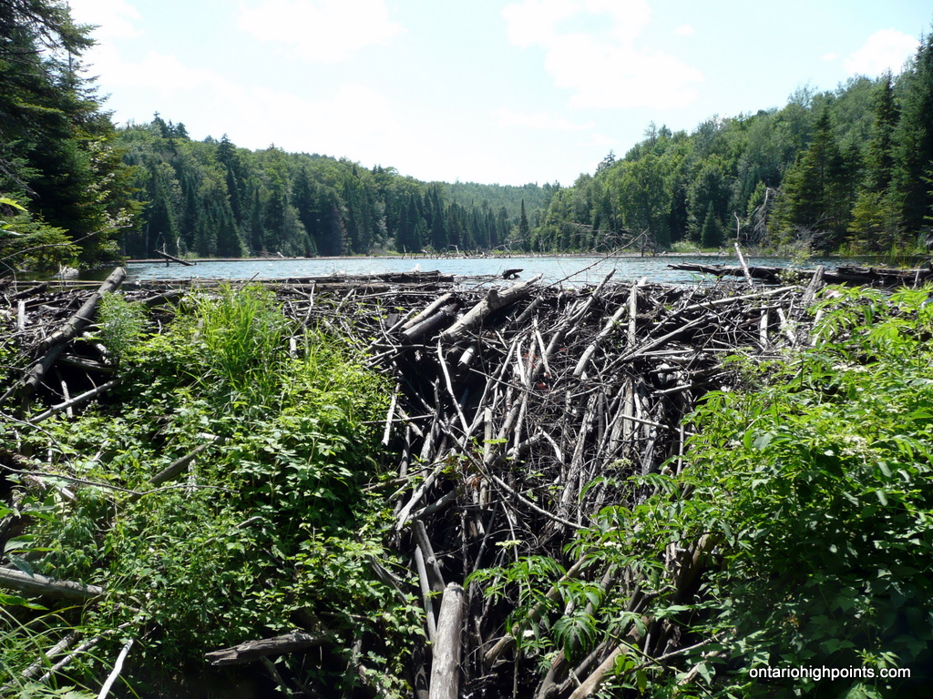
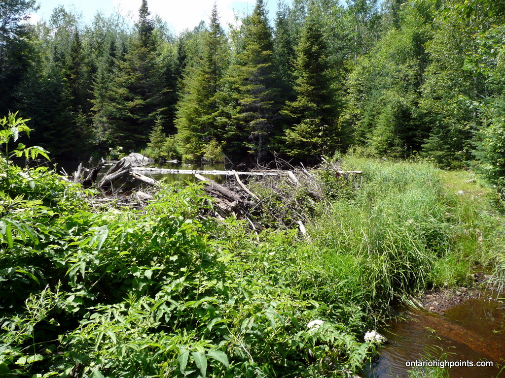
- Different perspective of the beaver dam
-
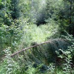
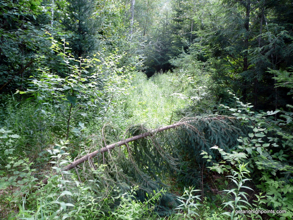
- Overgrown trail at the fork near the washed out bridge
-
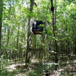
- Hunting blind at the summit
-
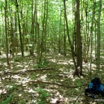
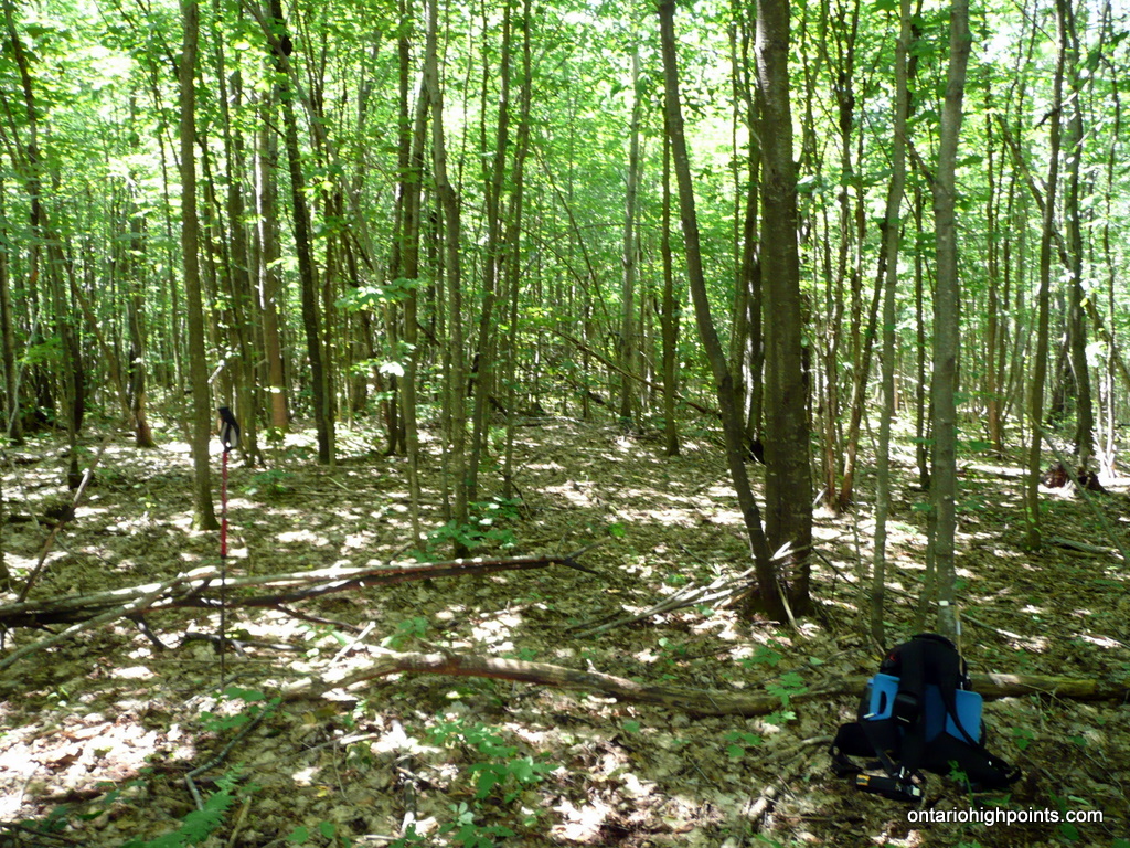
- Summit area
-
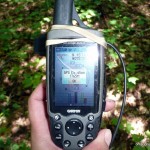
- GPS elevation at the summit
-
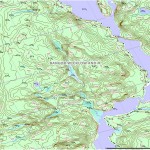
- Hastings County High Point (OBM)

Hastings County High Point GPS Track (.gpx format)
Related Links:
Hastings County High Point on peakbagger.com