Thunder Mountain
Posted by Derek on Oct 26, 2022
Height: 1788 feet / 545 meters
Lat/Lon: N46.64809 W82.64413
Date Summited: October 9, 2022
Directions / Trip Report:
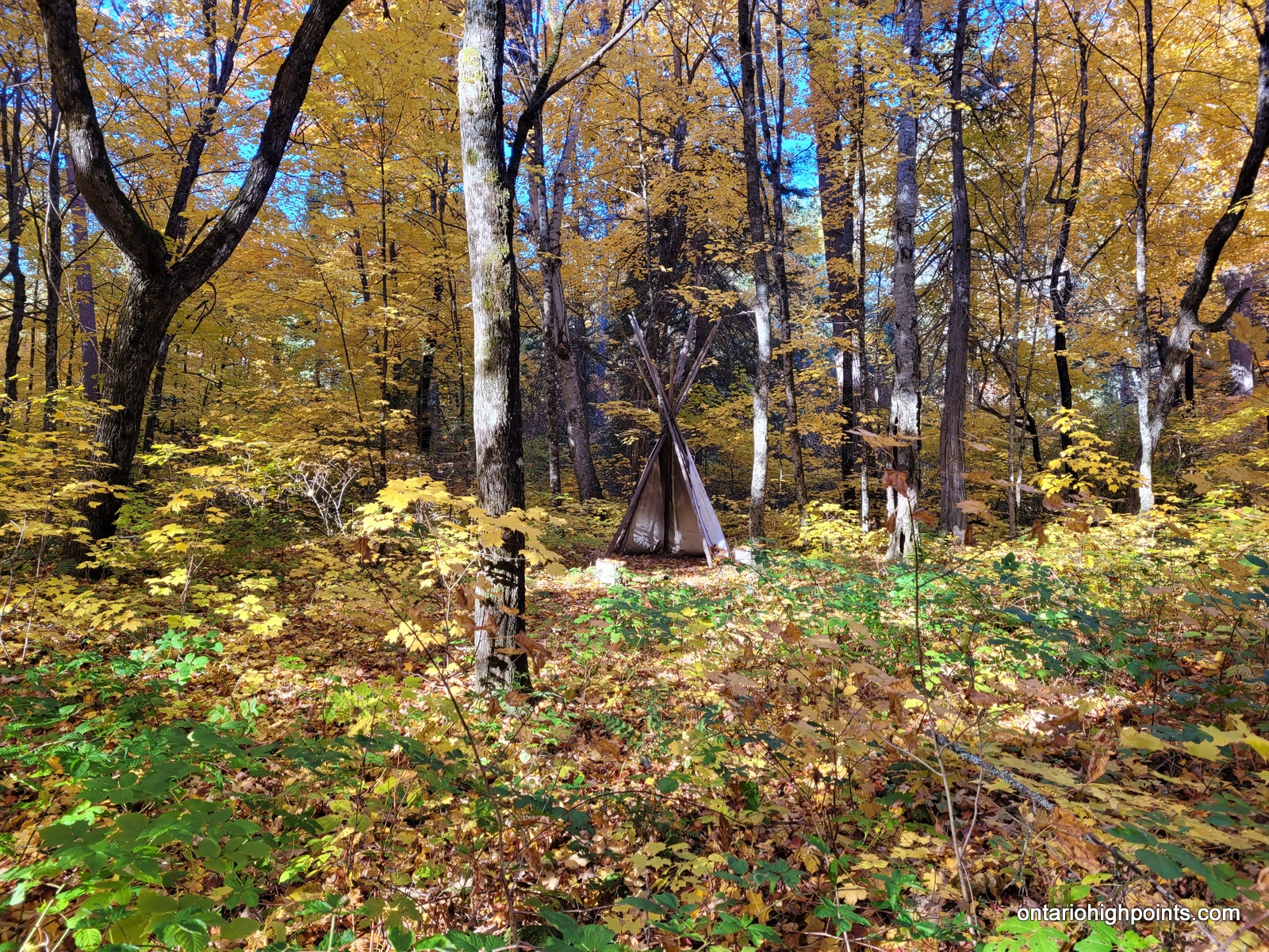
Thunder Mountain is a sacred place for Native People of the area. Please respect this site if you visit.
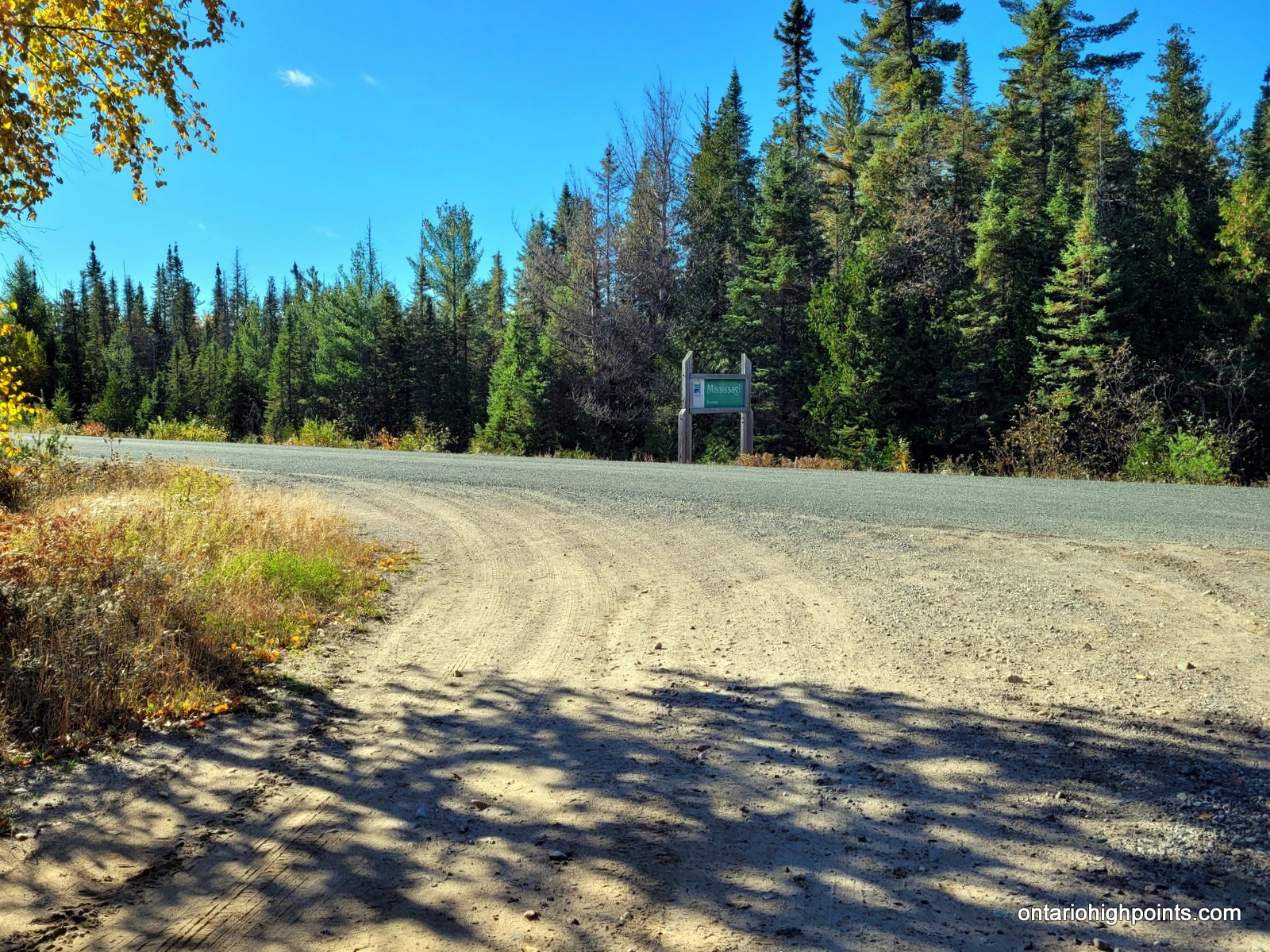
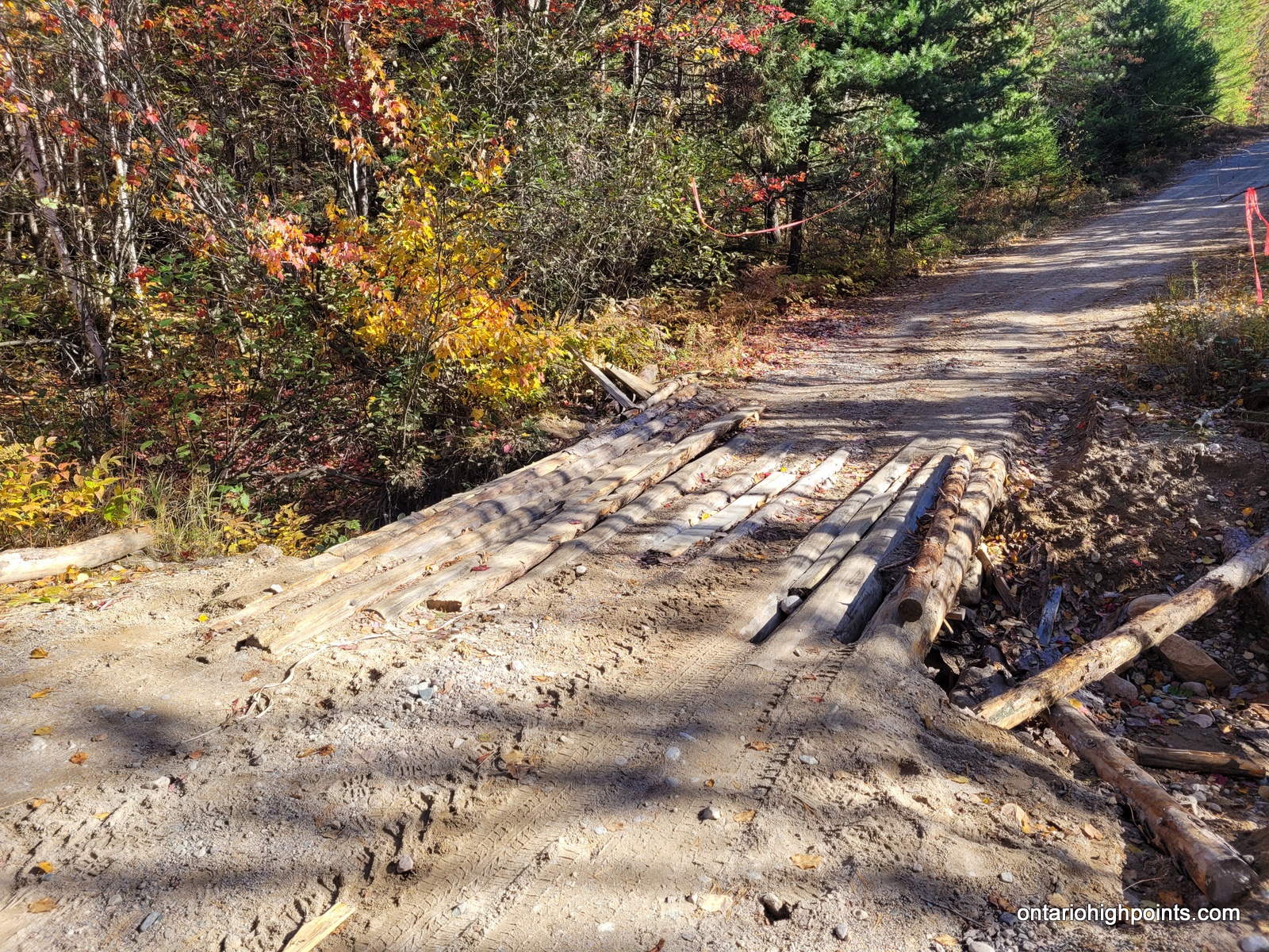
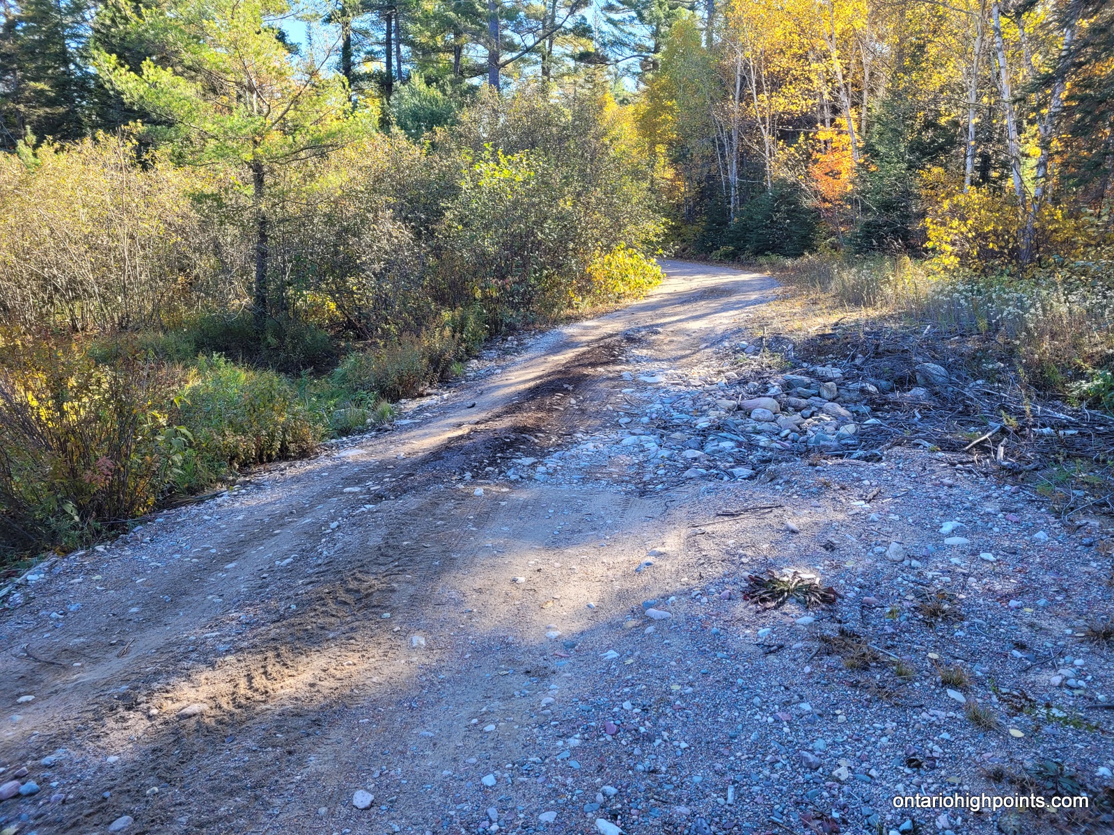
From Elliot Lake, take Hwy 639 north for 32.5 km to the turnoff onto Boland Road. This rough gravel road is situated just outside the northern boundary of Mississagi Provincial Park. Turn left (east) onto the road and follow it 14.4 km. There are a few washouts and a sketchy log bridge (at 7.4 km) that have to be crossed along the route. I roadside parked near a native encampment, which may not be visible from the road, but is just a few meters off the road to the north.
A rough trail, occasionally flagged begins near the native encampment and heads north. It passes through a couple of rock slab clearings, which can make it harder to follow, as was the case for my visit. The trail leads to the east side of the peak and finishes the last steep pitch the summit via a steep rock ridge, that would be hazardous in wet and/or snowy weather.
During my ascent, I lost the trail at one of the clearings and finished the trek to the summit by bushwhacking. Once reaching the summit I was reacquainted with the trail and on my descent was able to mostly follow it all the way back to Boland Road. I recommend using my descent track to get to and from the mountain.
In retrospect, I should have continued my hike northeast from the summit to the cliffs overlooking Rawhide Lake to take in views of the lake.
View a larger version of the map
Trip Summary:
00.0 km – Turned left (east) from Hwy 639 onto Boland Road (9:05 AM)
07.4 km – Crossed rough log bridge on Boland Road (9:17 AM)
14.4 km – Roadside parking near the trailhead to Thunder Mt. (9:32 AM)
0.0 km – Started hike along rough trail near native encampment (9:36 AM)
0.6 km – Lost the trail. Bushwhacked remainder to summit (9:46 AM)
1.4 km – Arrived at the summit (10:11 AM)
1.4 km – Departed the summit via steep east rock ridge (10:19 AM)
2.8 km – Arrived back at Boland Road roadside parking (10:43 AM)
Gallery:
-
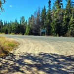
- Boland Road turnoff / Mississagi PP boundary
-
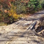
- Sketchy Bridge on Boland Road
-

- Washout on Boland Road
-
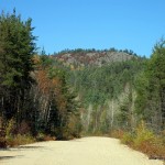
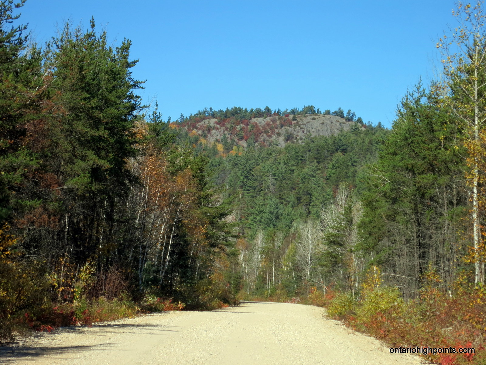
- Thunder Mountain as seen from Boland River Road
-
- Native teepee along the trail near Boland Road
-
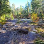
- A rock slab clearing on route
-
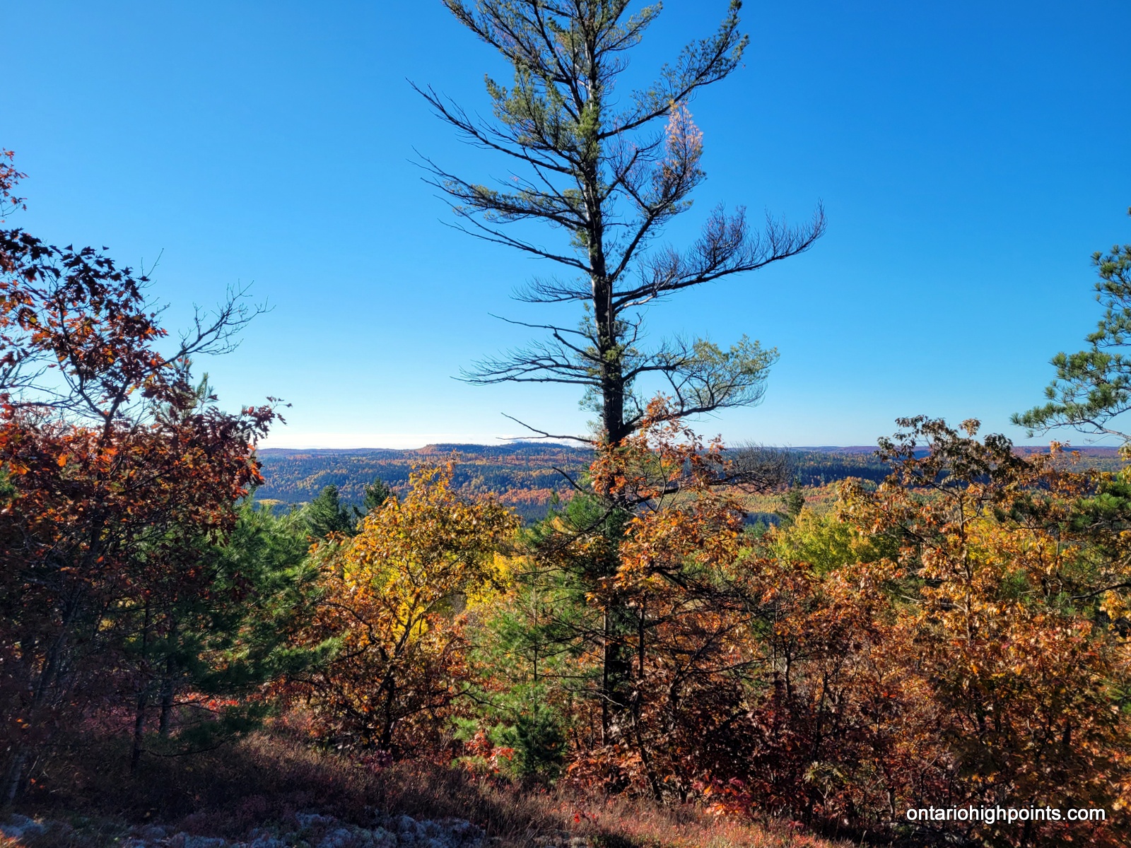
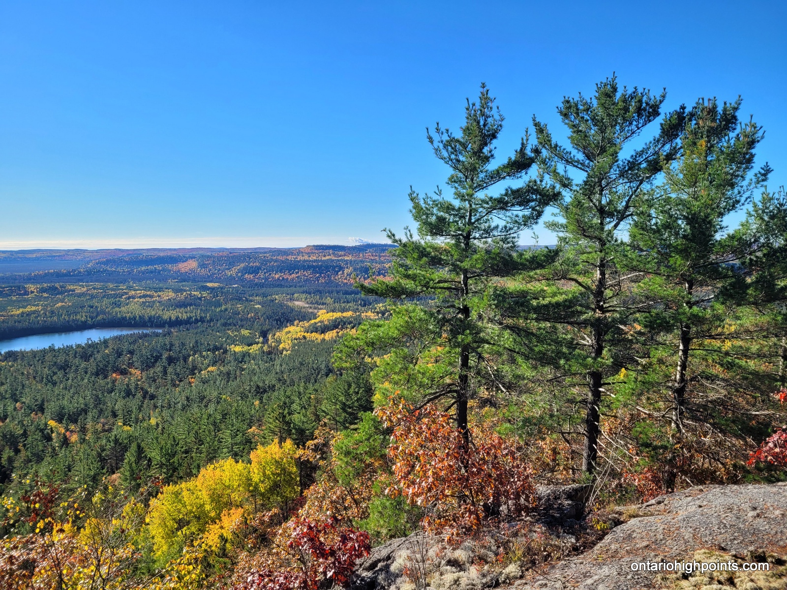
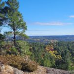
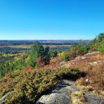
- First views
-
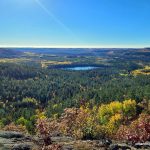
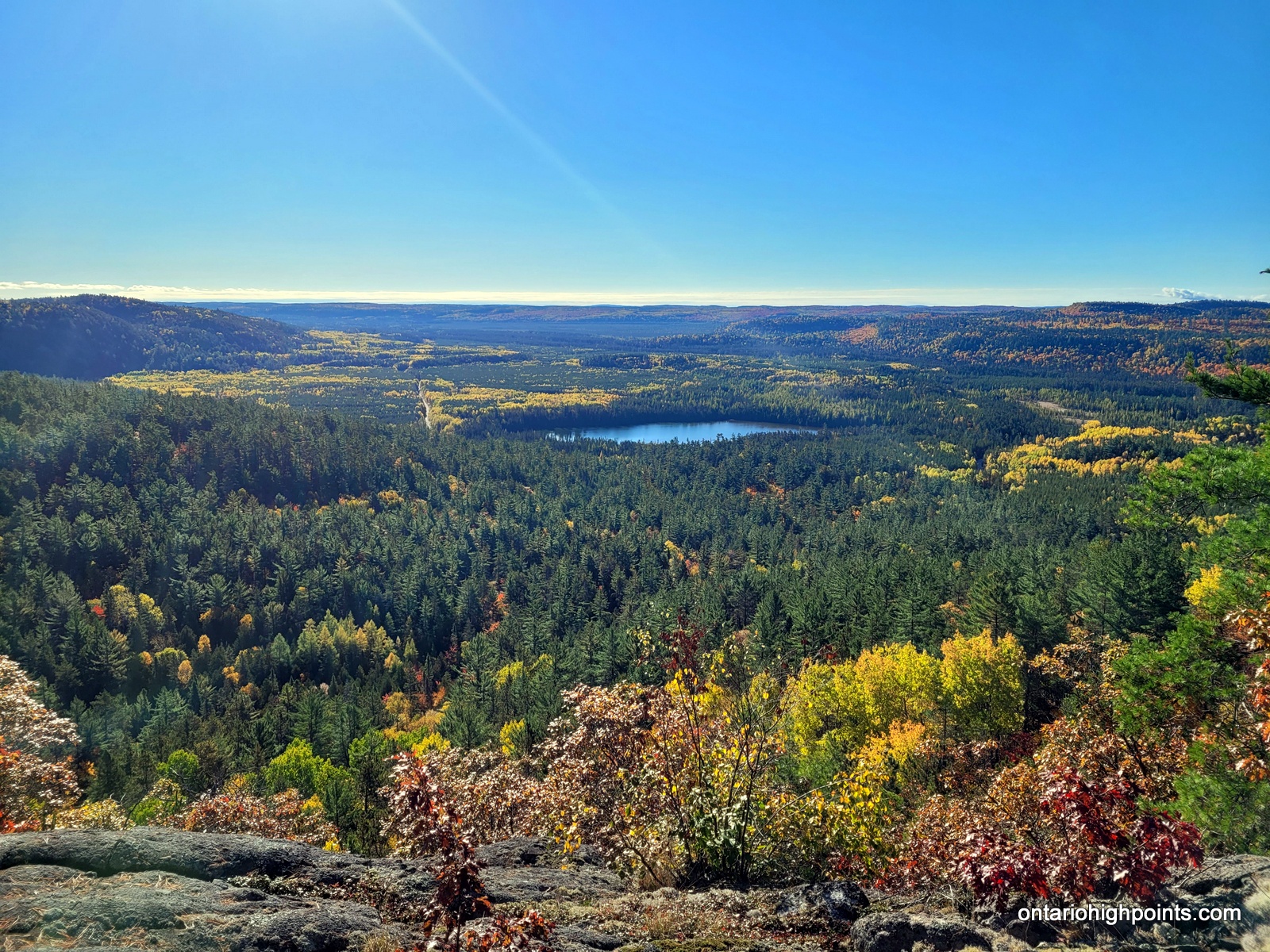
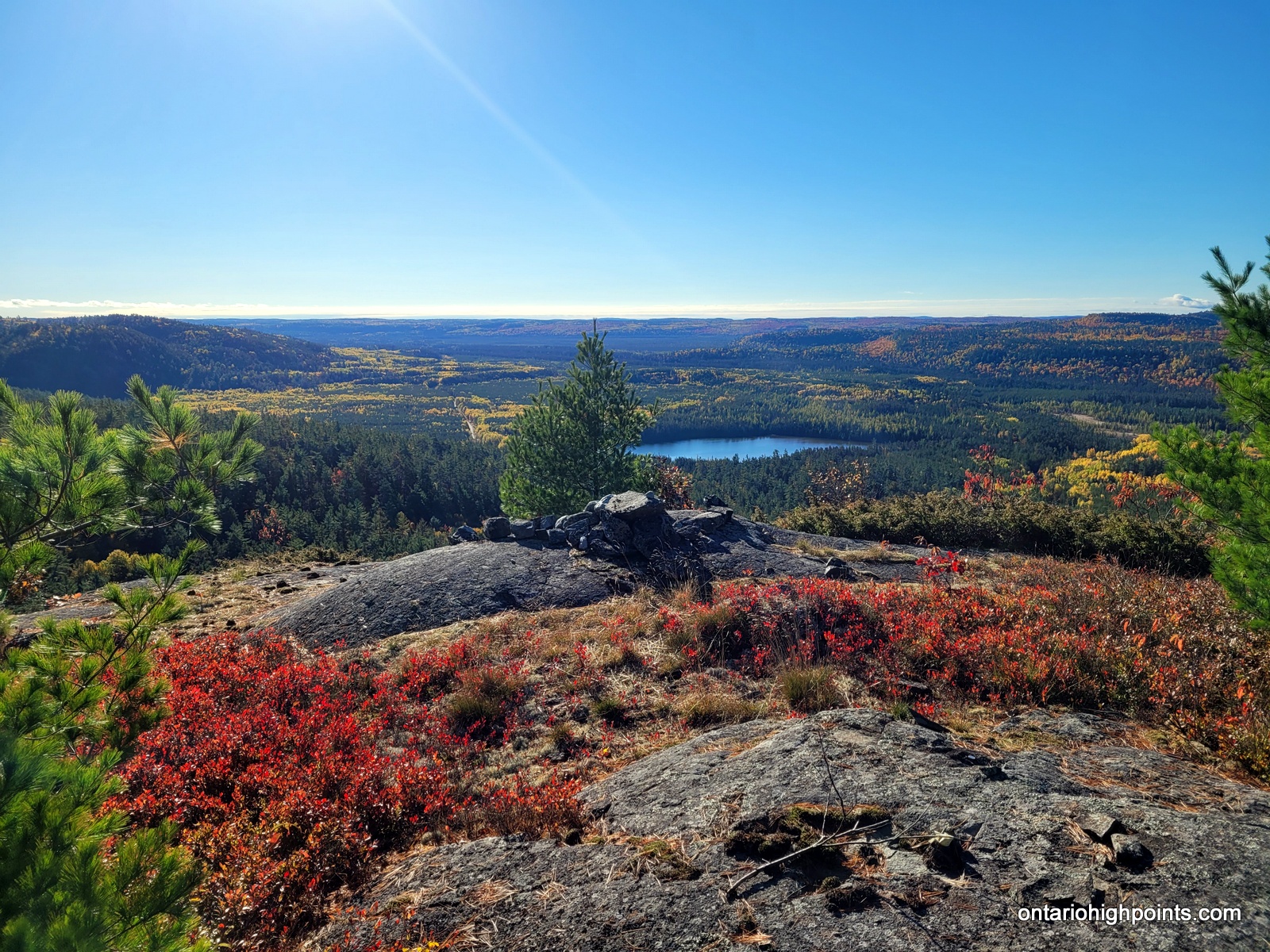
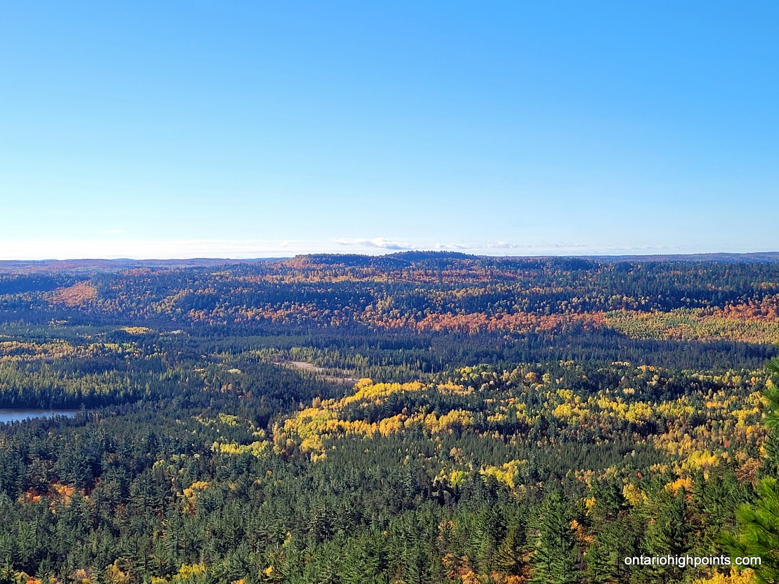
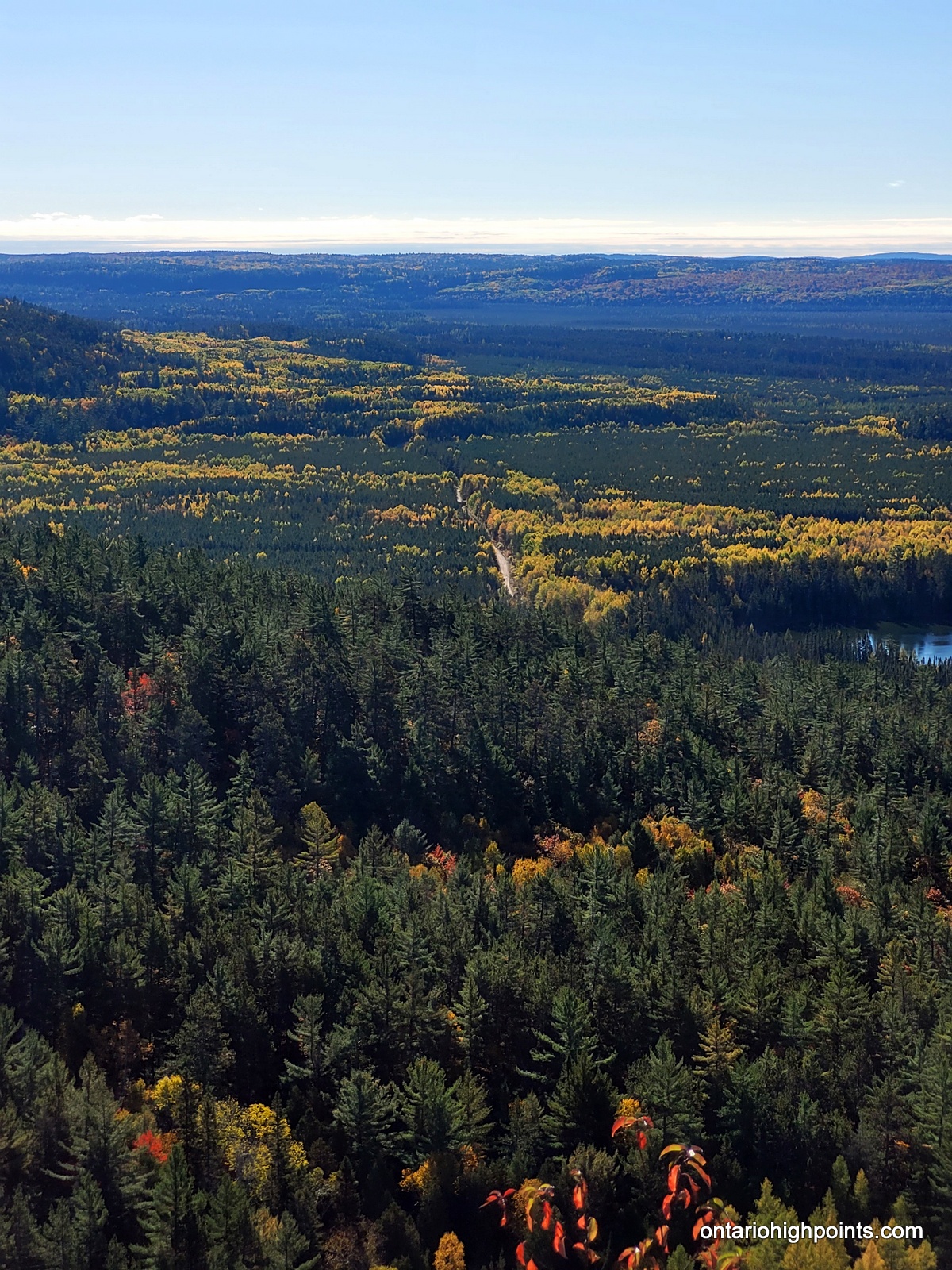
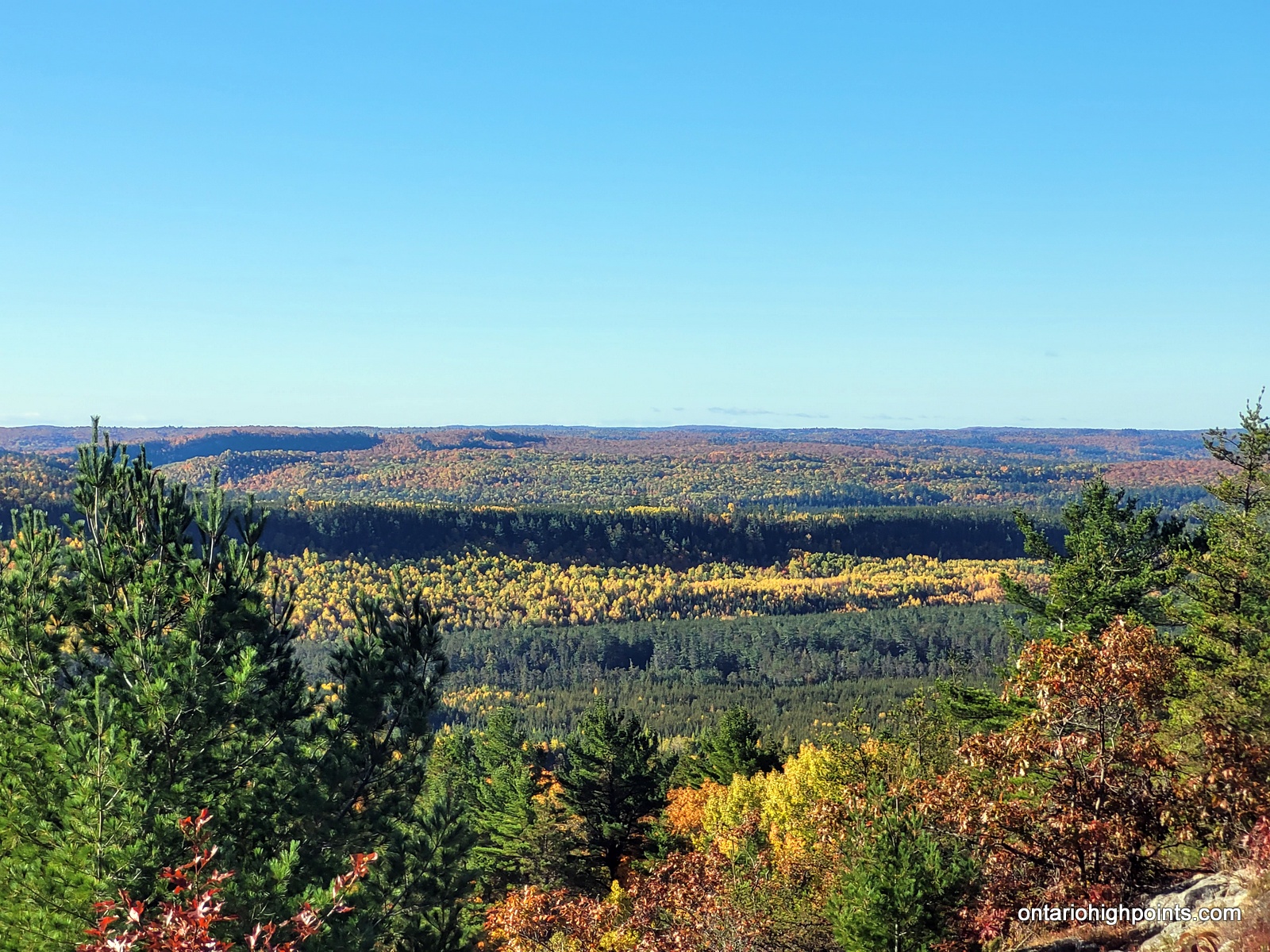
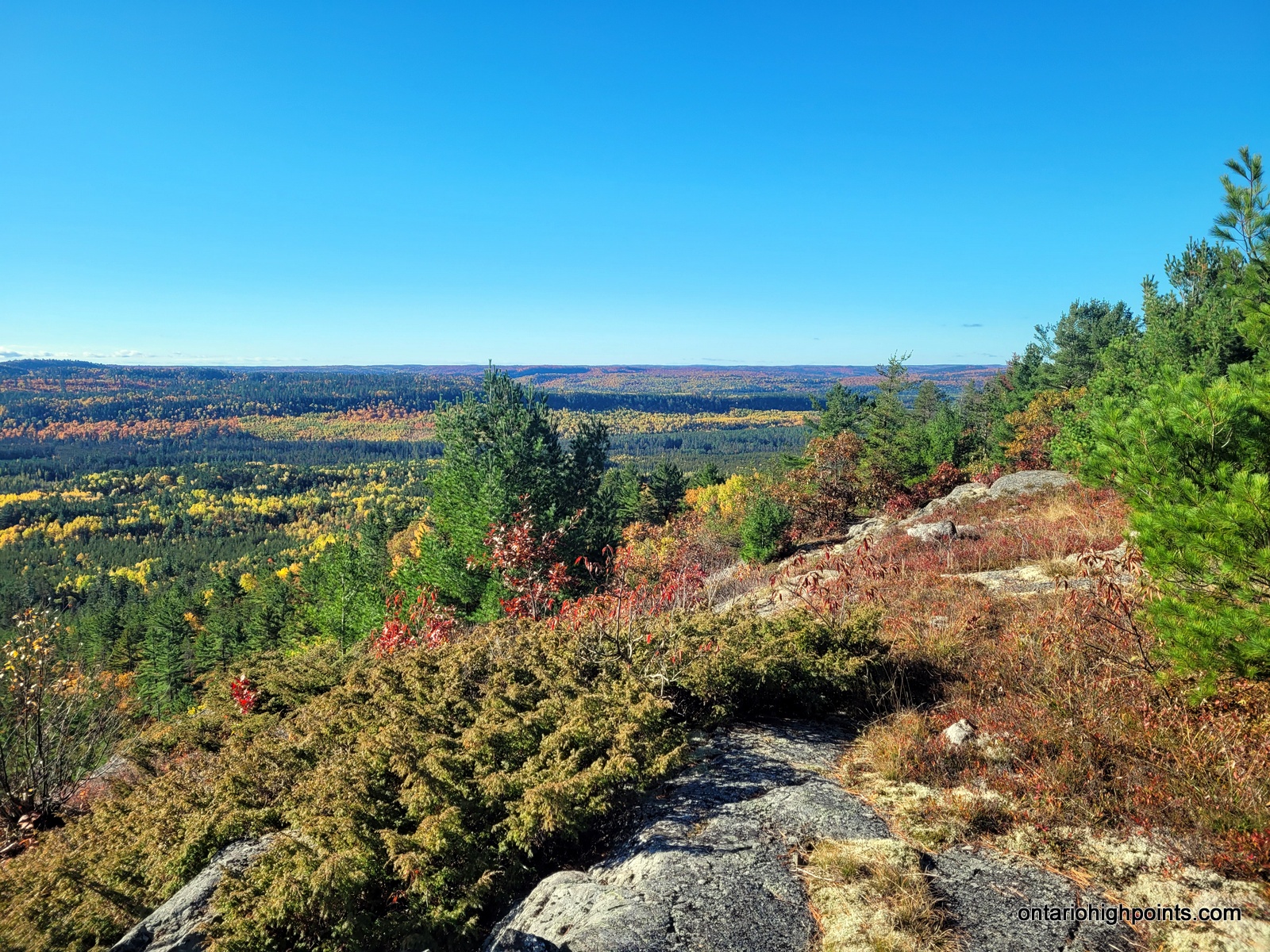
- View south from the summit
-
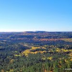
- View southwest
-
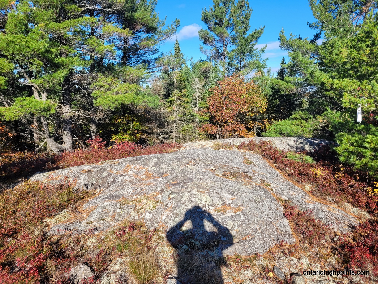
- Fire pit
-
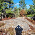
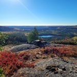
- The highest point
-
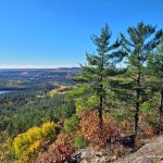
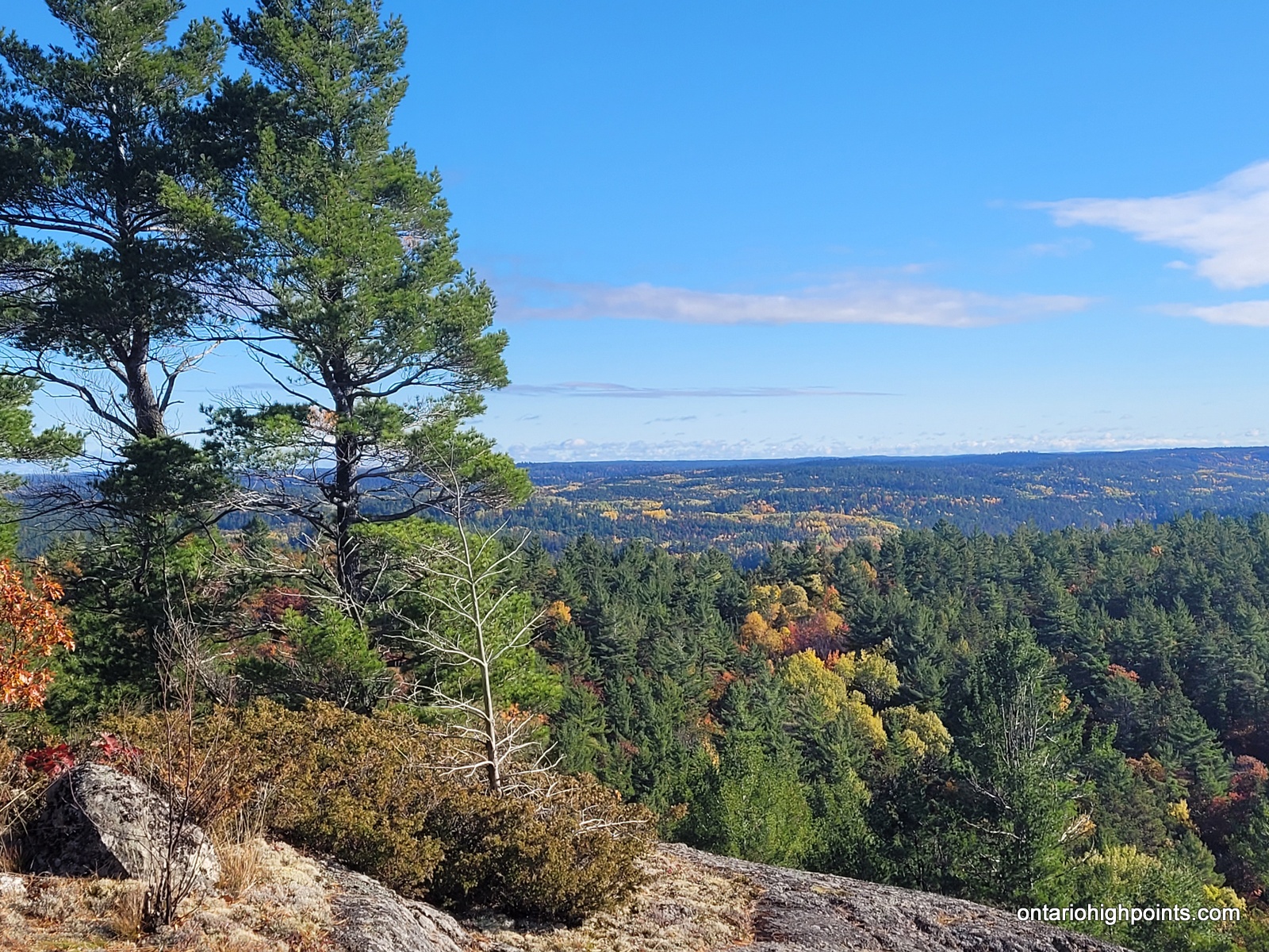
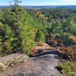
- View east
-
- Hills in the distance
-

- Boland Road snaking through the wilderness
-
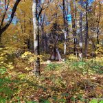
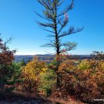
- Autumn in Algoma
-
- View southwest
-
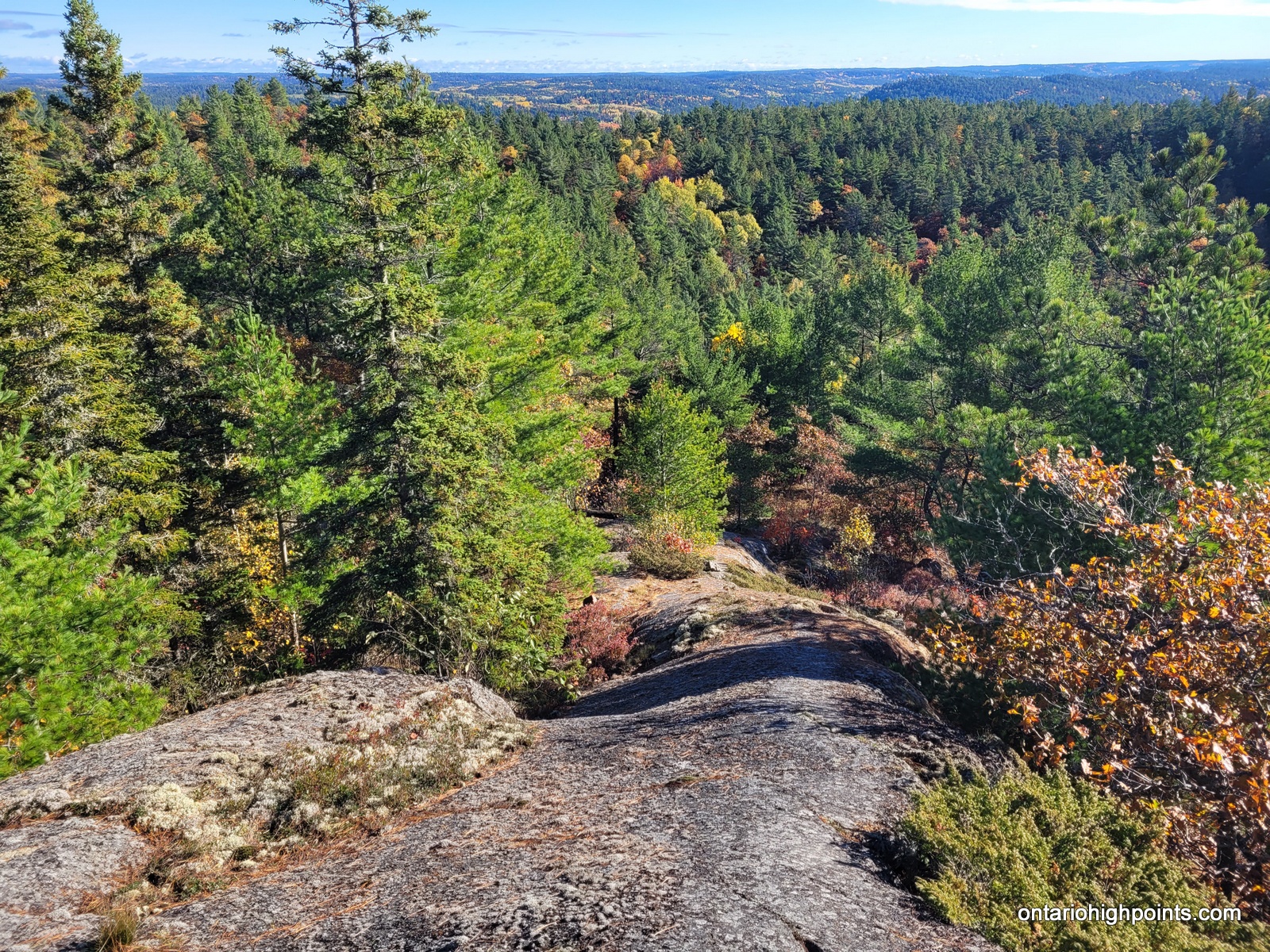
- Rock ridge descent off the summit
-
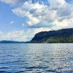
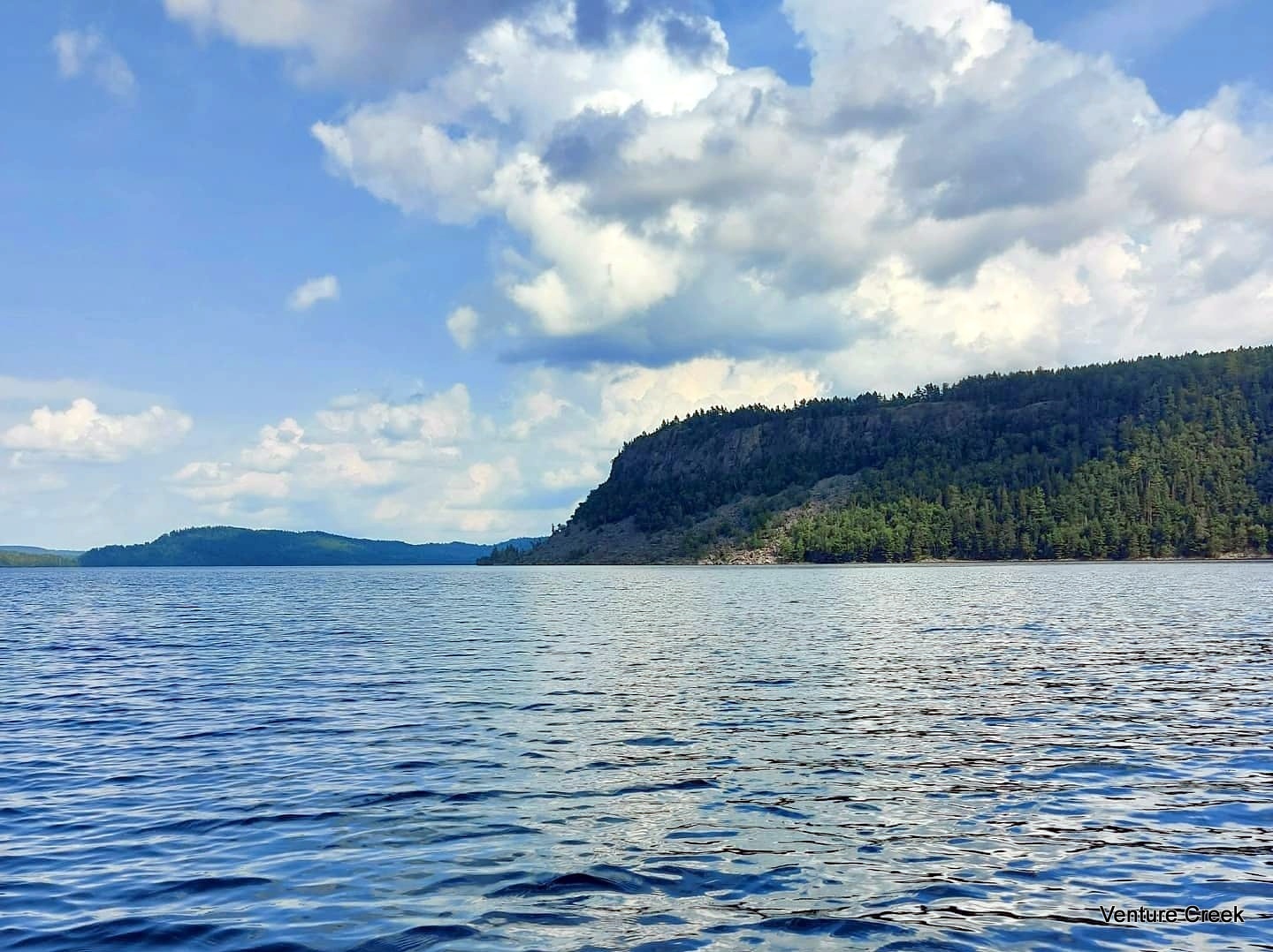
- Thunder Mt. on Rawhide Lake – Courtesy of Venture Creek
GPS Tracklog (GPX Format):
Thunder Mountain GPS Track
Related Links:
Thunder Mountain on Peakbagger.com
Hey did you happen to make it to the cliffside lookout of Rawhide?
Thanks for your post!
No, I was in a tight schedule and unfortunately I didn’t think to go over to the lakeside cliffs. (But I should have).
Thanks for the response. I’m gonna try to do both this weekend, I’ll keep you posted. Oh and thanks for your original post too. Peace.