Carson Creek Peak – Revisited
Posted by Derek on Dec 13, 2016

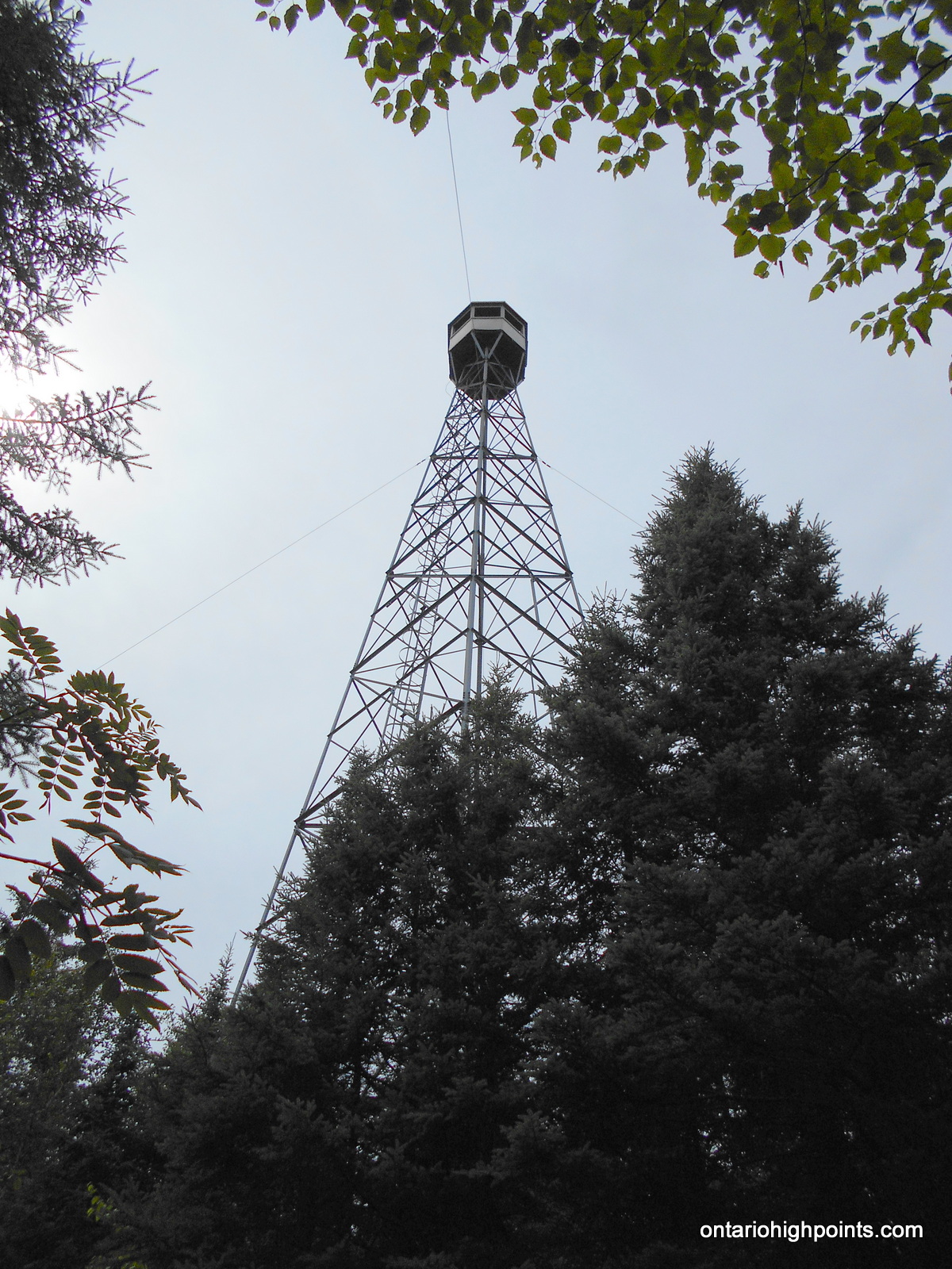
Aldina fire tower atop Carson Creek Peak from the Boreal Road
Height: 2198 feet / 670 meters
Lat/Lon: N48.3547 W90.0132
Clean Prominence: 230 feet / 70 meters
Line Parent: Tower Mountain
Key Col: N48 20.675 W90 01.146 (1969ft / 600m)
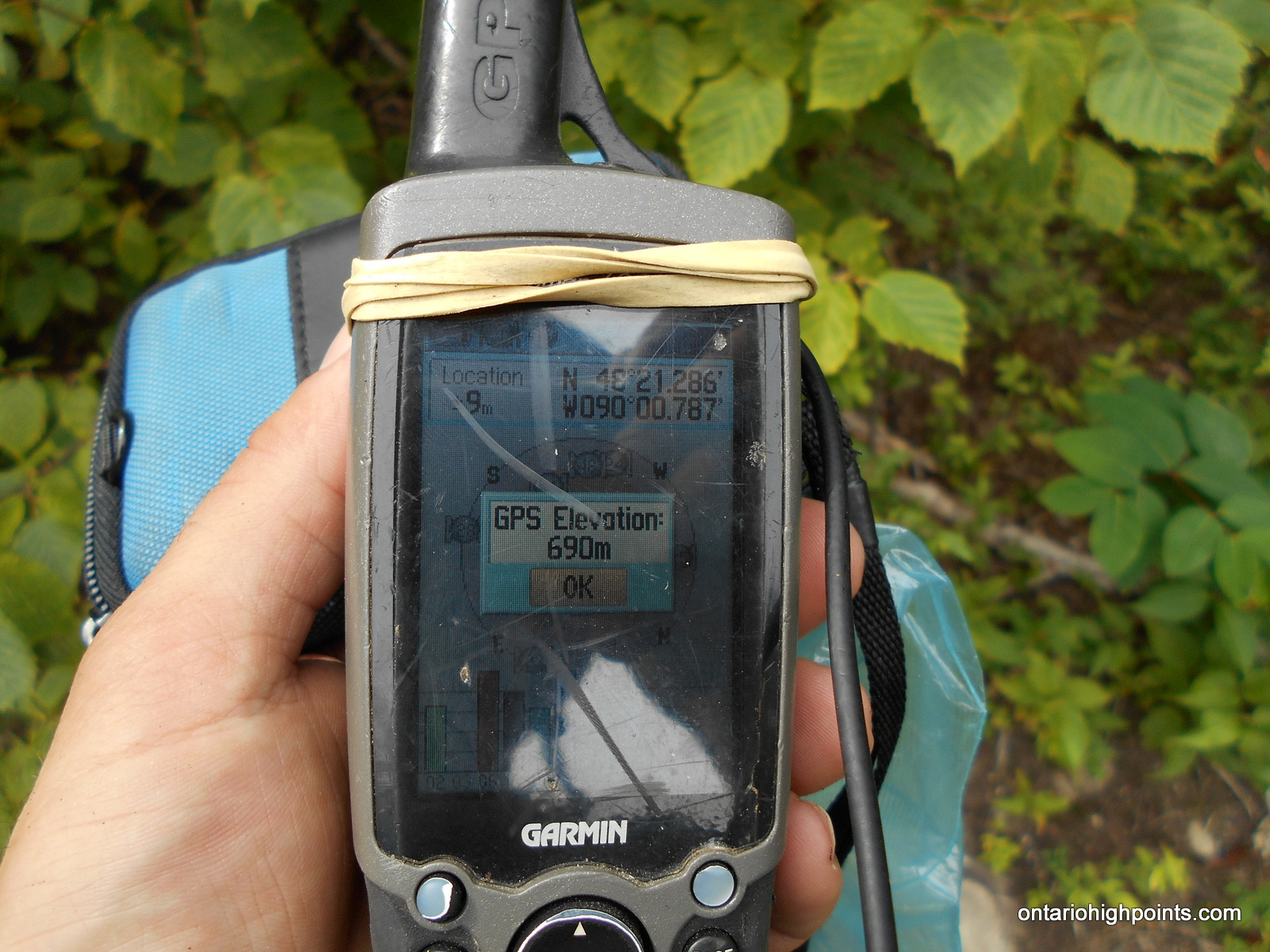
GPS recorded height: 2264 feet / 690 m
Date Summited: July 27, 2016
Overview:
Carson Creek Peak is the fourth highest summit in Ontario. The peak is the second highest point along a ridge which runs northeast from Tower Mt. The Aldina fire tower still stands at the summit. Carson Creek Peak is the highest offroad accessed peak in Ontario.
Directions:
There are 2 possible routes to Carson Creek Peak. This trip report outlines the northern route from Boreal Road. For information about the route from the south see my other trip report.
From Thunder Bay, take Hwy 11/17 west and pass through Kakabeka Falls. Immediately past the falls, turn left on 590 and head south, then west along the road. 13.4 km from the intersection with Hwy 11/17, Boreal Road branches to the right, which despite being a gravel road, is wide and well graded. Drive 19 km along Boreal Road and park at an intersection with an overgrown 2-track quad path.
Hike southwest along the 2-track quad path, past a couple of creeks and wetland areas. After hiking for 1.3 km, you will arrive at a fork in the road. Turn left at the fork and follow the path southeast. After crossing a creek/beaver dam, the trail begins to ascend more steeply up to the summit. 3.8 km from Boreal Road, you will arrive at the Aldina Fire Tower.
View a larger version of the map
Trip Summary:
0.0 km – Departed Trailhead at Boreal Road (3:00 PM)
1.3 km – Turned left at fork (3:20 PM)
3.8 km – Arrived at Summit (Candidates A & B) (4:00 PM)
3.8 km – Departed Tower Summit (4:20 PM)
5.1 km – Arrived at (Candidate C Summit) (5:13 PM)
9.9 km – Arrived back at Boreal Road (6:38 PM)
Gallery:
-
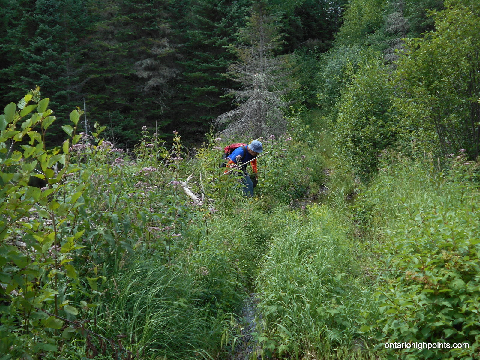
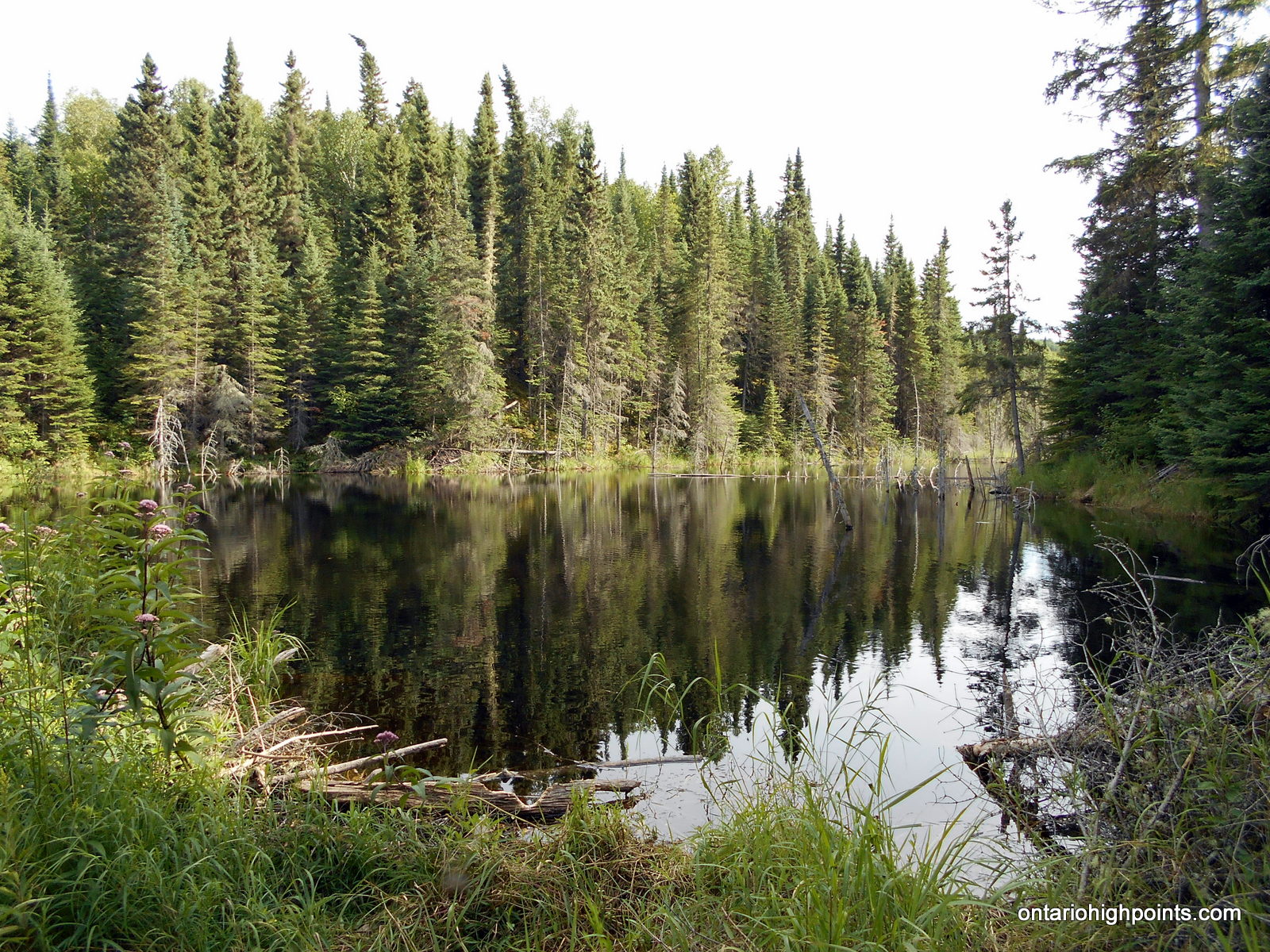
- Pond near the trailhead
-
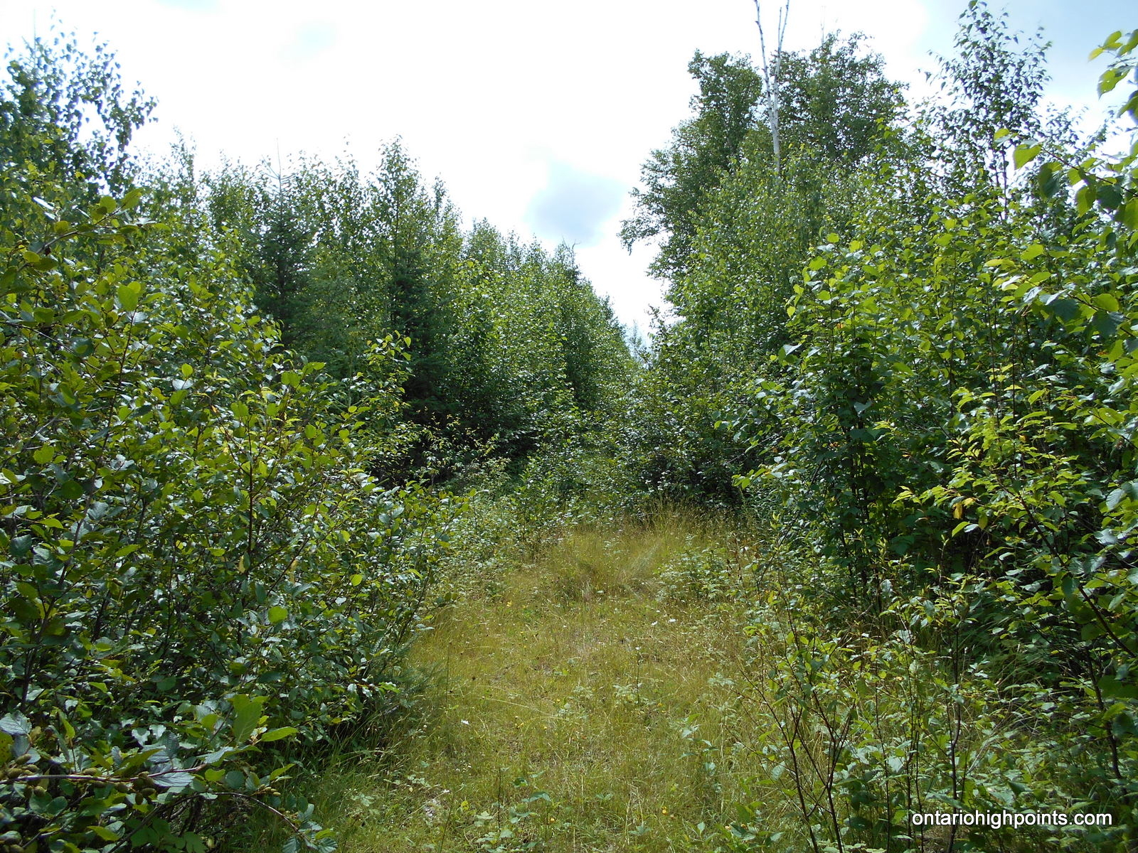
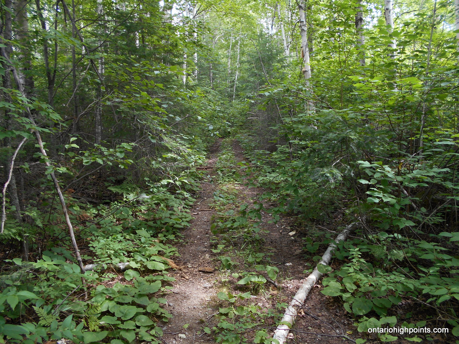
- Trail overgrown with alders
-
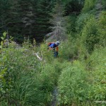
- Ben walking on old Beaver Dam / Flooded Road
-
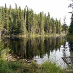
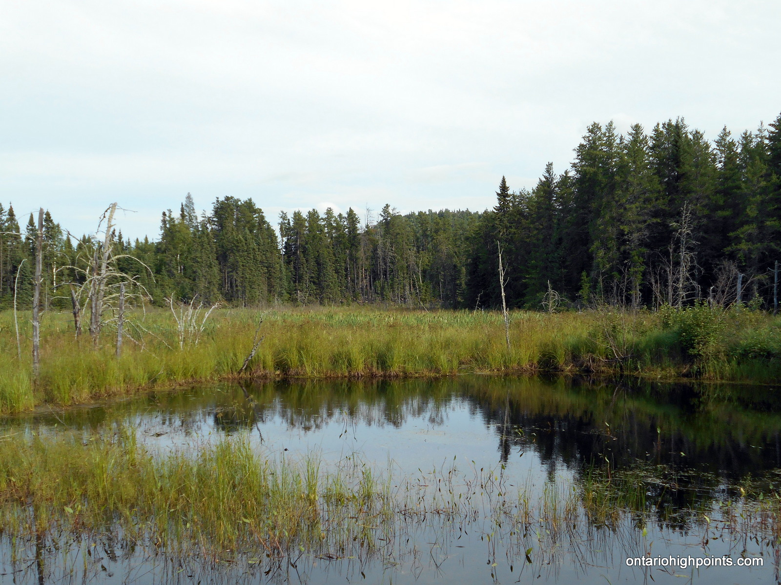
- Pond / Tributary of Carson Creek
-
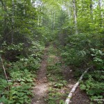
- Ascending the 2-track bush road
-
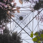
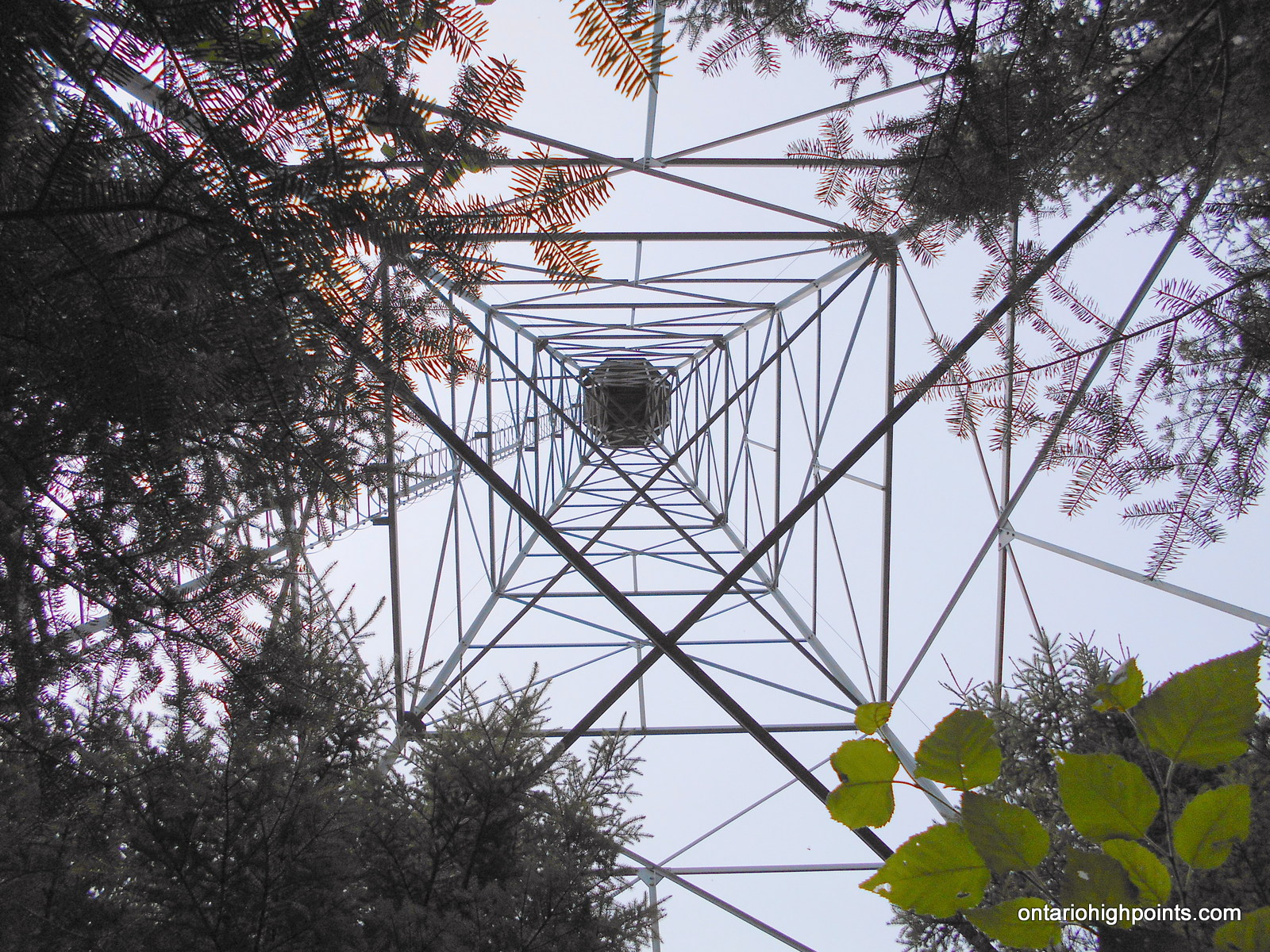
- Underneath the Aldina Fire Tower
-
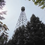
- Aldina Fire Tower
-
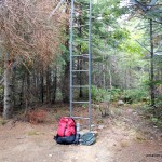
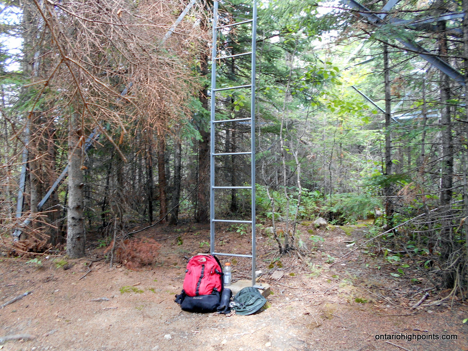
- At the ladder / base of the Aldina Fire Tower
-
- Summit Candidate A @ the fire tower
-
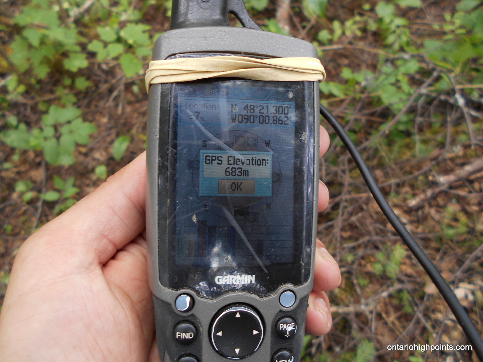
- Summit Candidate A GPS Elevation
-
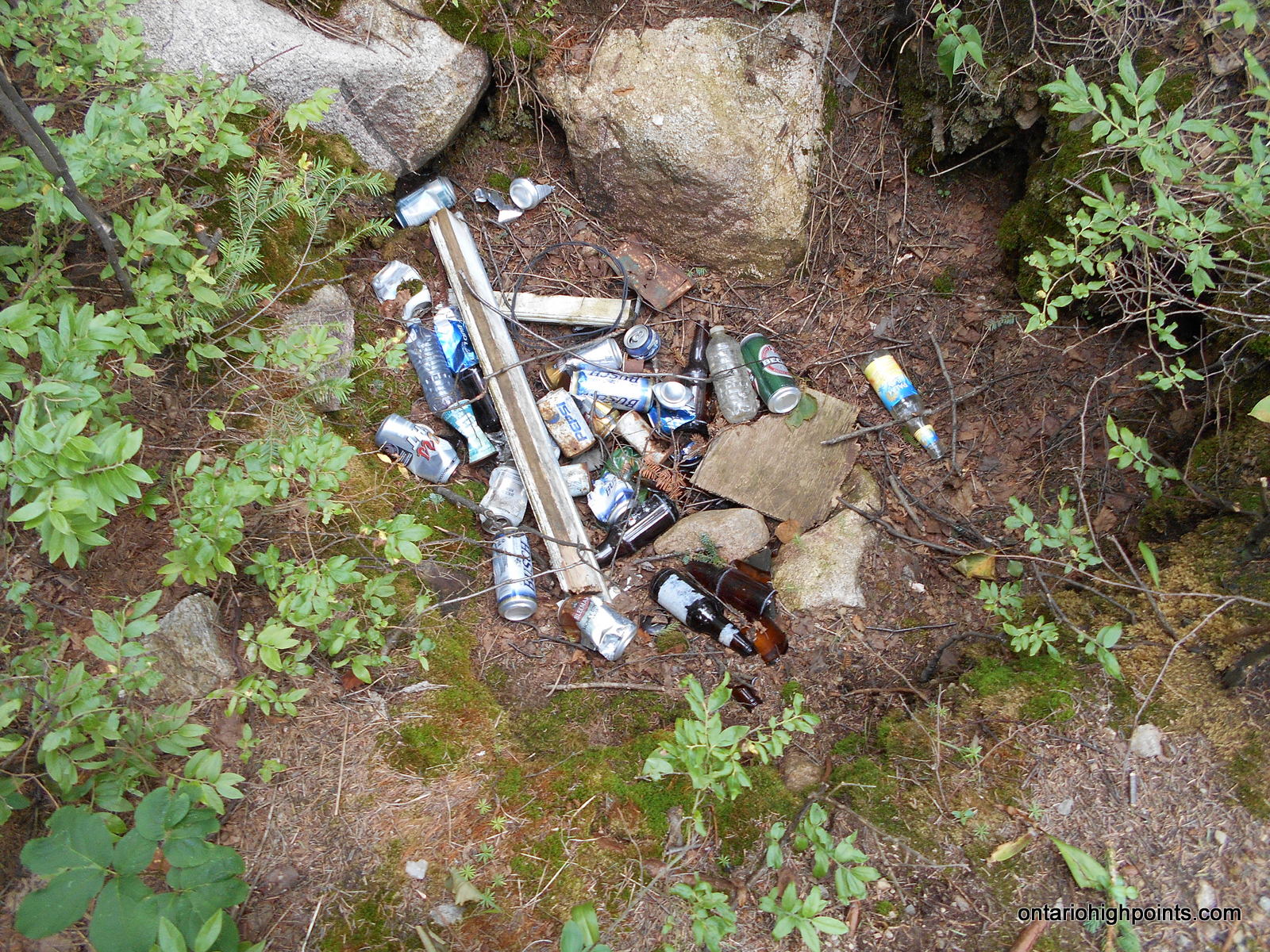
- Garbage thrown in a pit near the fire tower
-
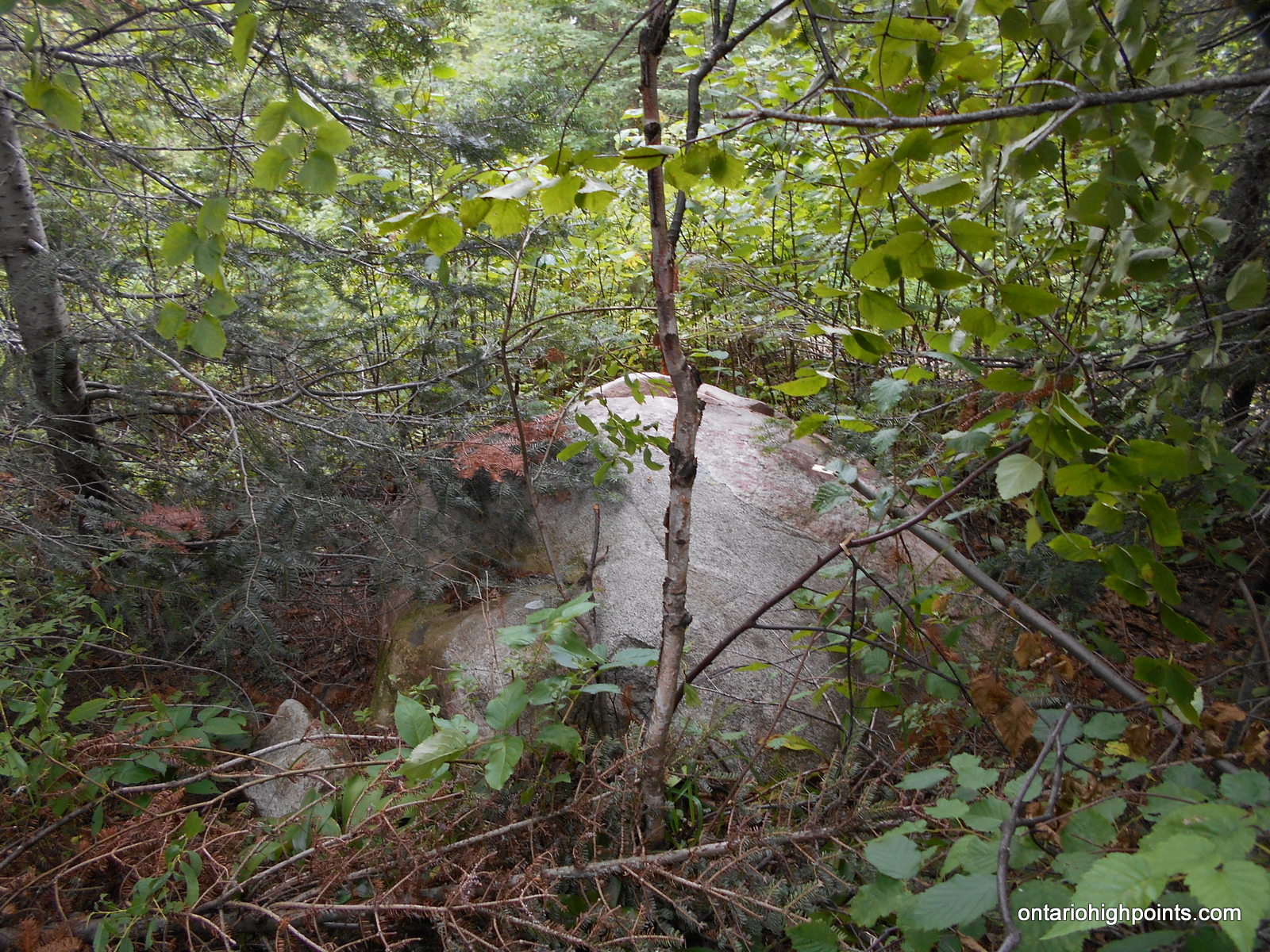
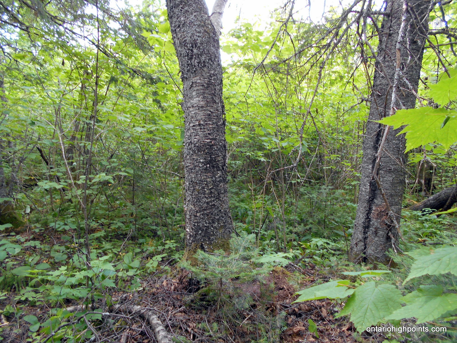
- Summit Candidate B
-
- Summit Candidate B GPS Elevation
-
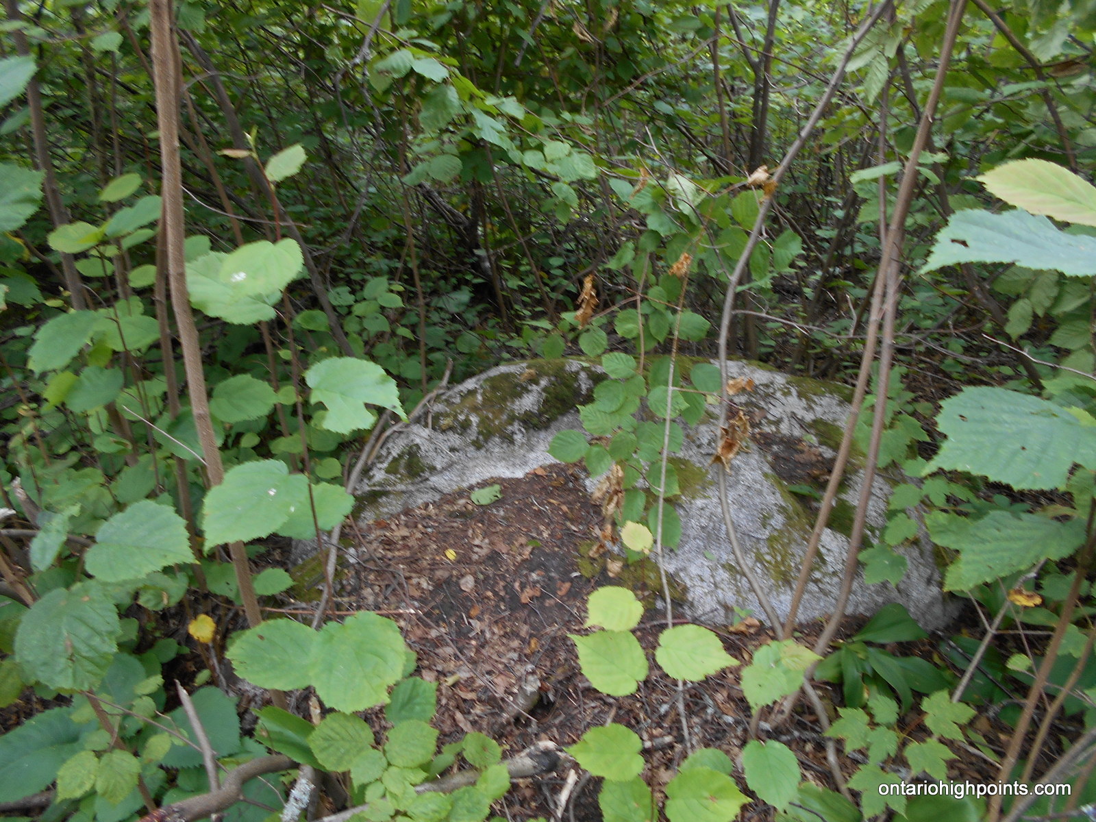
- Summit Candidate C
-
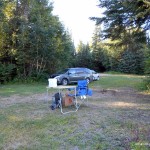
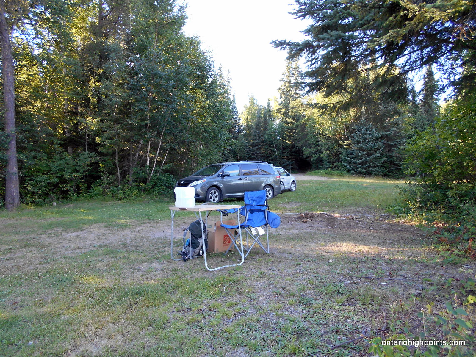
- Campsite on Marks Lake
-
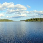
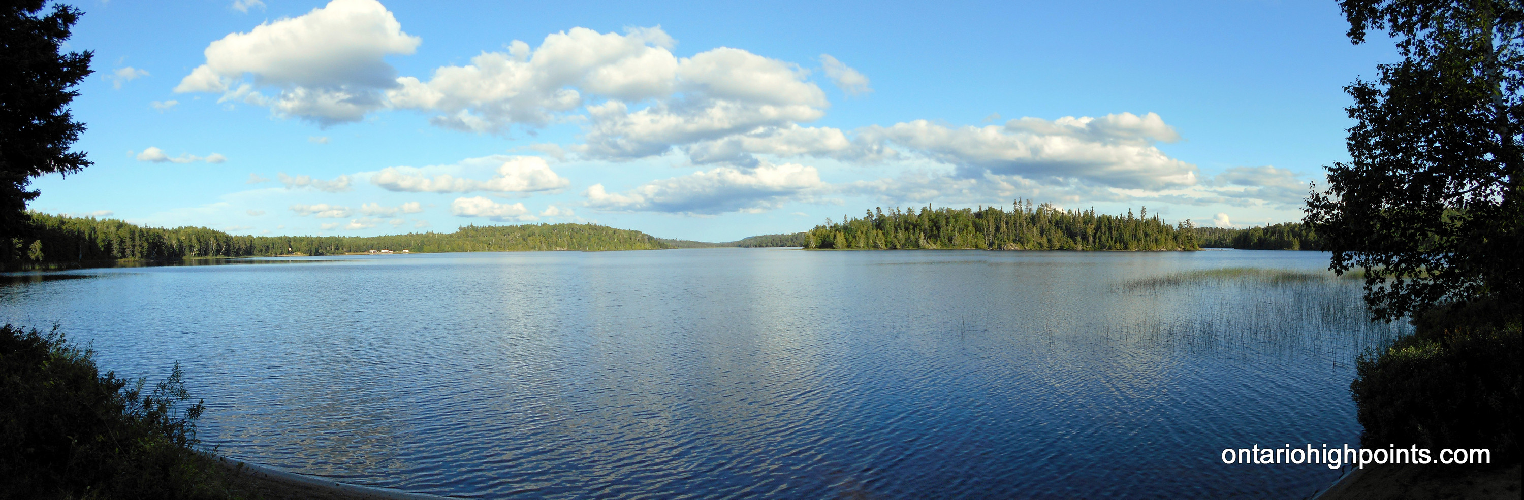
- View of Marks Lake from campsite
-
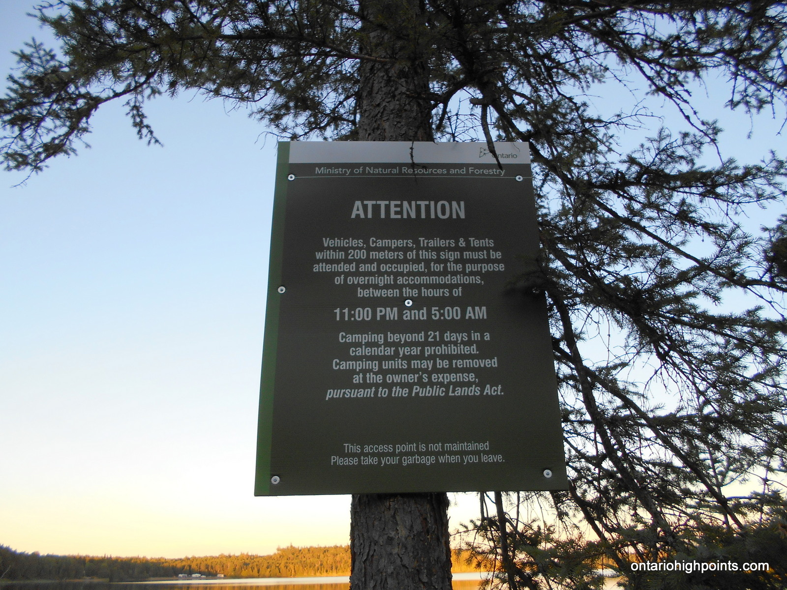
- Crownland camping limited to 21 consecutive days
Trip Report:
Note: After documenting my first hike up Carson Creek Peak, I received information describing a simpler route to the peak; a northern route from Boreal Road. As I was coming back to the area, I decided to investigate the new route and to visit 2 other high point candidates in order to confirm the highest point on the peak.
Day 4 of my Western Ontario peakbagging trip. I had met up with Ben Lostracco 2 days prior and together on Day 3, we hiked to the Kenora District High Point(s). We had spent the night sleeping in our respective vans at the rest stop on Hwy 17 at Lodge Lake. Since my camera had died after the first hike on my trip (to Sleeping Giant), Ben and I drove into Thunder Bay so I could purchase a new camera. We had breakfast at a McDonald’s in town and then afterwards I set off to find a camera. This turned out to be an aggravating experience, as it took multiple store visits to find a suitable in-stock replacement.
After finishing my errands in Thunder Bay, I headed out to Kakabeka Falls where I met up with Ben. We drove through town, turned left onto Hwy 590 and then drove 13 km to the turnoff onto Boreal Road. Once on Boreal Road, we followed the wide gravel road for 19 km where we found the start to our hike to Carson Creek Peak — a turnoff onto an overgrown 2-track quad path.
The hoard of blackflies at the trailhead gave us a sense of urgency and we suited up quickly and departed Boreal Road at 3:00 PM. The trail started off level and despite being overgrown with tall grass and alders, it was fairly easy to follow. We crossed a couple of wetlands/creeks along overgrown beaver dams. At the first dam crossing we found some old animal traps laid beside the path. After taking a left turn at a fork, the trail began to ascend more steeply.
We arrived at the fire tower at 4:00 PM. My maps showed a potentially higher contour just northwest of the summit, so we made a short bushwhack to check it out (I missed exploring this on my previous trip). We found the 2nd candidate high point, just 50 meters away, but it was hard to tell which high point was the highest.
I also wanted to check out a 3rd candidate high point south of the fire tower, so we followed the trail south from the summit, treading around bogs and mud traps for about 350 meters, and then bushwhacked for 600 meters along old skidder paths, across a marsh and then through a thick tag alder forest. We found highest point on a large rock, however my GPS indicated that this spot was lower than the other 2 candidate high points.
As there were a lot of mosquitoes at the summits, we didn’t stay long. We returned back to the trailhead via the same route, arriving at our vans at 6:38 PM.
We decided to find a crown land camping spot for the night, so we drove west on Boreal Road, and then turned left onto Marks Lake Road. My maps indicated 2 possible campsites on Marks Lake, both just a short drive off the main road. We stopped at the second of the 2 campsites — a large clearing at the northeast end of the lake. We met a family from Thunder Bay, who had made a day trip out to the campsite. After they headed out, we had the campsite to ourselves, however we could see a large active group of trailers parked on a private beach, just across the lake.
GPS Tracklog (GPX Format):
hello all. thinking of this week, being September 2017 to finally get to the Aldina Tower. I know it is still standing with ladder. thinking of just doing the hike from Boreal road. as I only have a car, would I be able to drive my sedan car on Boreal Road to start of the Hike. and park on Boreal road? not too rough?
any suggestions at moment on trail from Boreal road? are there enough ATV tracks to follow? thanks
Jay, unless there’s been some recent washouts, you shouldn’t have too much of an issue driving your car on Boreal Road. Just take it slow and steady. As for the trail, you’ll have to be watchful especially for the first 1/3 of the trail as it’s a bit overgrown. It’s easier to follow once it starts to ascend the mountain. If you have a GPS or a smart phone with Oruxmaps (http://www.oruxmaps.com/cs/en/), or any other mapping software, download my GPX track onto it so you can find the trailhead on Boreal Road and follow the trail up to the summit.
From Jay:
I took the road from the west (N48.379438, W90.050833) – much easier. There its just an old quad road that more less goes direct to tower, no worries about bush whacking or anything.
I did look for the trail you used at the quad as I walked in that area, and literally nothing at all visible there at all, looks very grown in,. but regardless hike was good its about 5.9 to 6km one way, as I parked just off Boreal at the entrance of the quad road, just one beaver dam wash out to climb over at 800 meters then its quite obvious where to go.