Parry Sound High Point
Posted by Derek on Jul 31, 2012
Height: 1745 feet / 532 meters
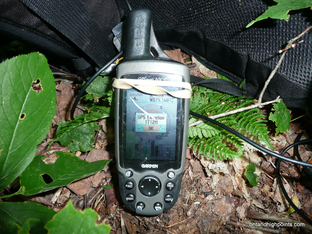
GPS recorded height: 1712 feet / 522 meters
Lat/Lon: N45 48.883 W79 10.119
Date Summited: July 18, 2012
Directions:
Exit Highway 11 (which now bypasses Sundridge) at Sundridge onto Highway 124 (old Highway 11) which will bypass most of the town. Turn right onto Union Road and then left onto Forest Lake Road. Follow Forest Lake Road for 8.7 km and then turn right onto Paisley Road. Follow Paisley Road for 10.8 km (turn right at 9.3 km) to an open area where you can park on the shoulders of the road. Just beyond the parking area is the ATV road turnoff on the right. The immediate area around the Parry Sound District High Point is on an “Organized Hunt Camp Area” so you should seek permission to access the properly with the owner before going and as well avoid hiking to the peak during hunting season (the fall).
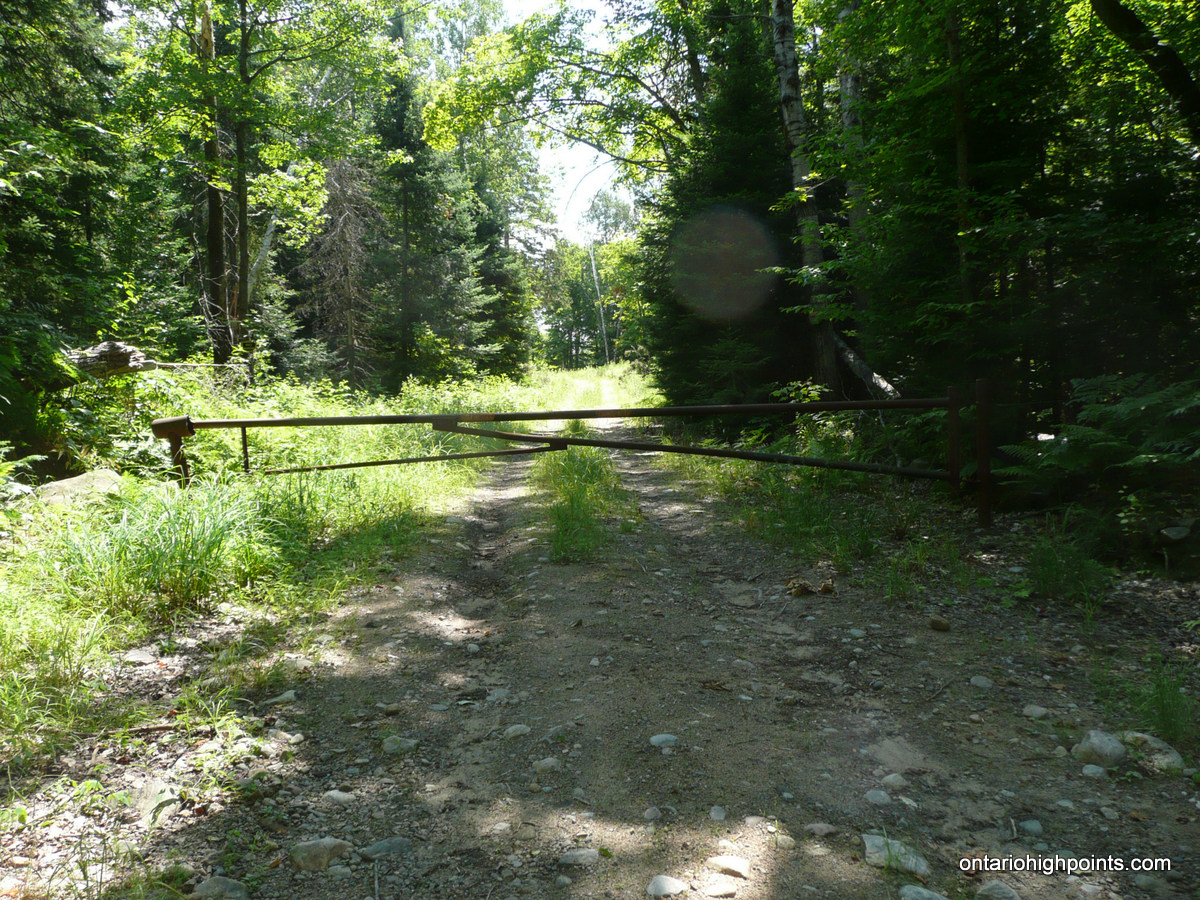
Hike up the road for 1.4 km until reaching a gate. Beyond the gate is the “Organized Hunt Camp Area” property. 600 meters beyond the gate up the road is the best spot to begin the short 400 meter bushwhack to the deciduous treed summit of the Parry Sound District High Point. The highest point appears to be on a slight ridge just south from the OBM spot height.
View a larger version of the map
Gallery:
-
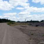
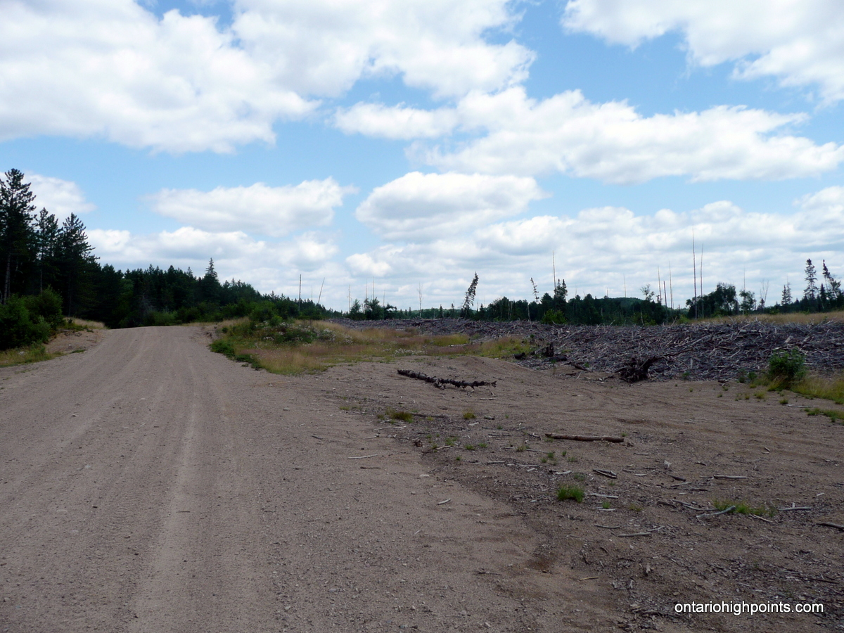
- Clear cut along Paisley Road
-
- Park along shoulders on Paisley Road
-
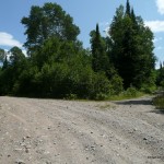
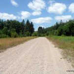
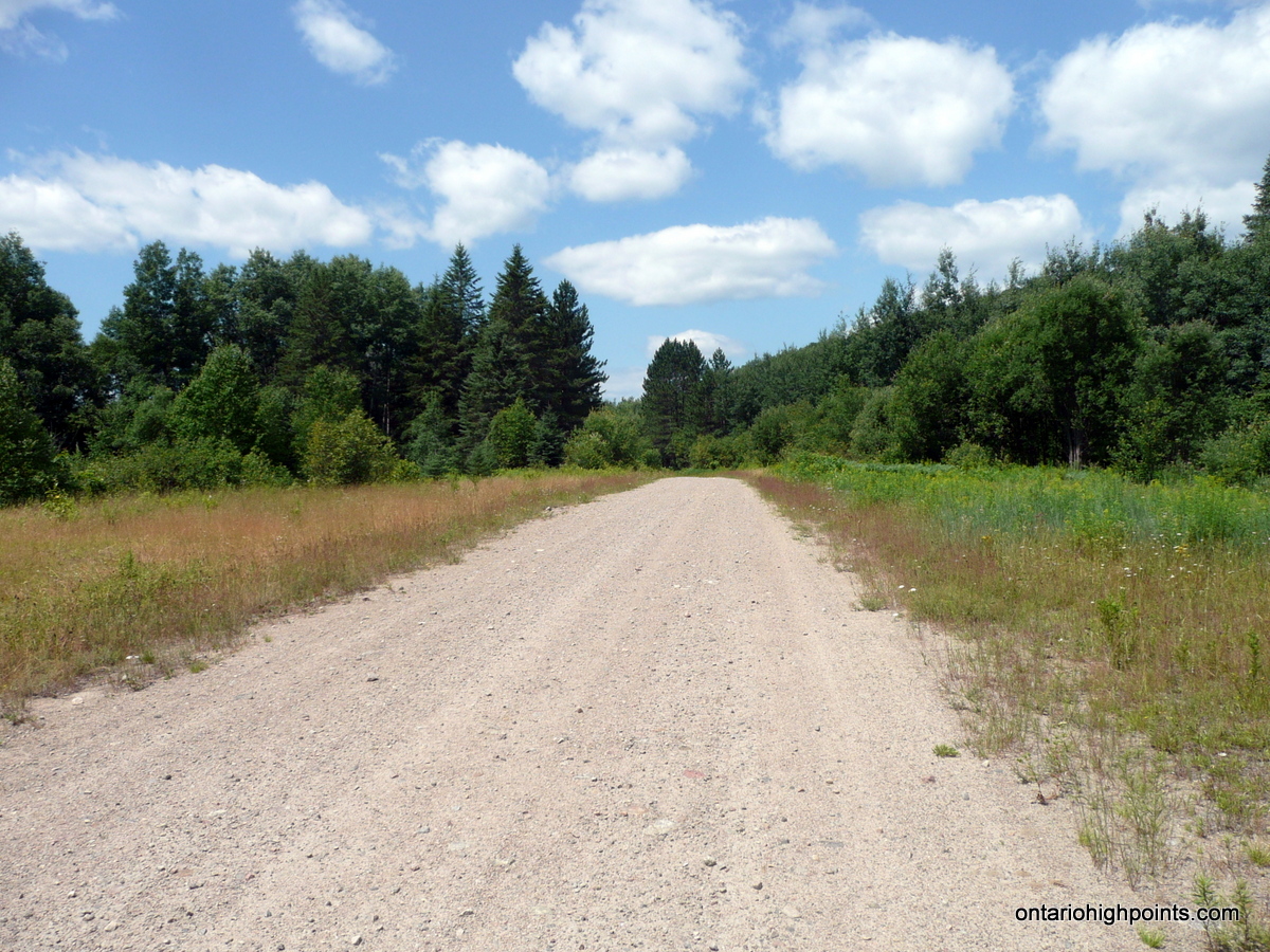
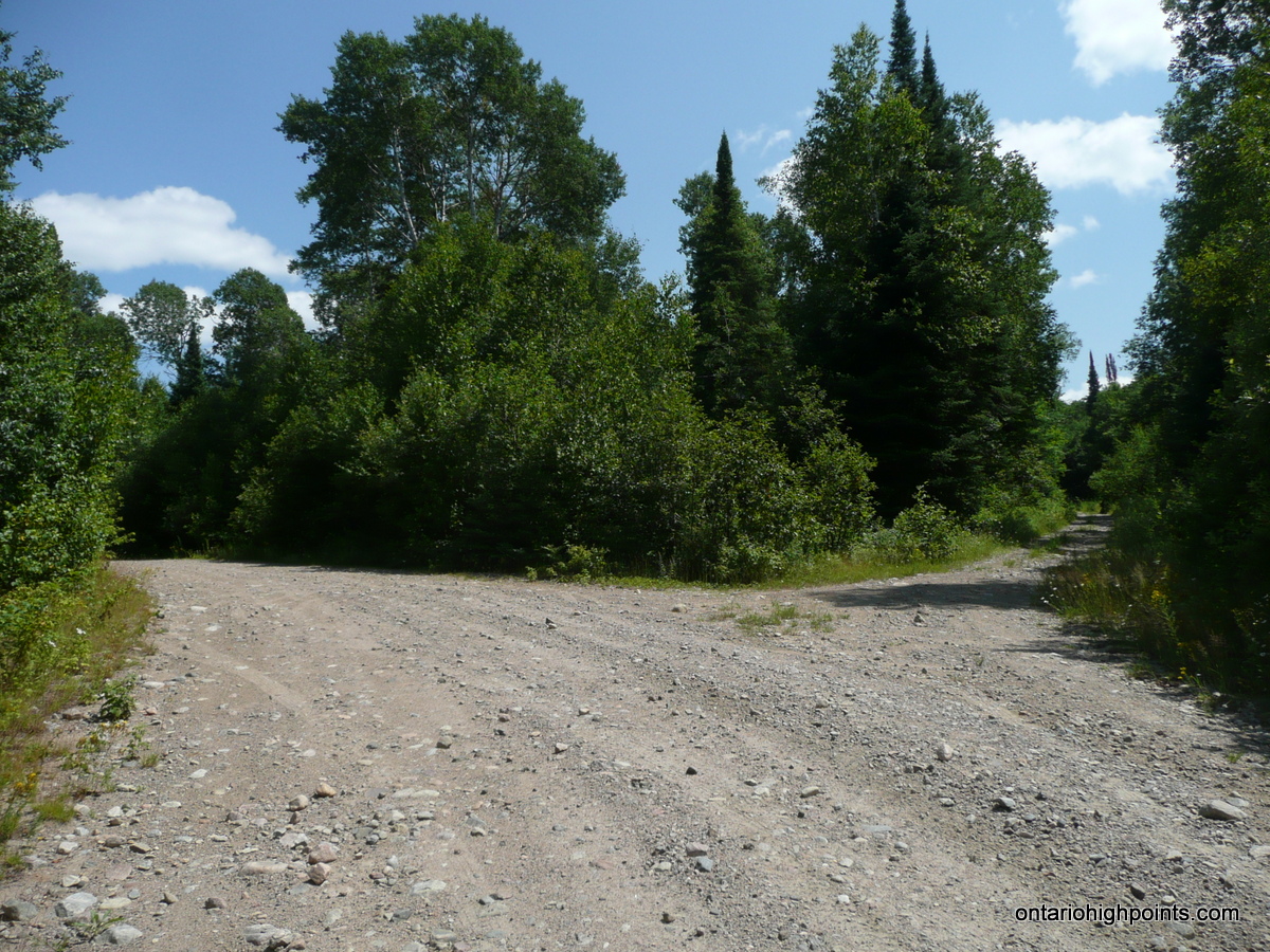
- Turnoff from Paisley Road onto ATV road
-
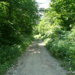
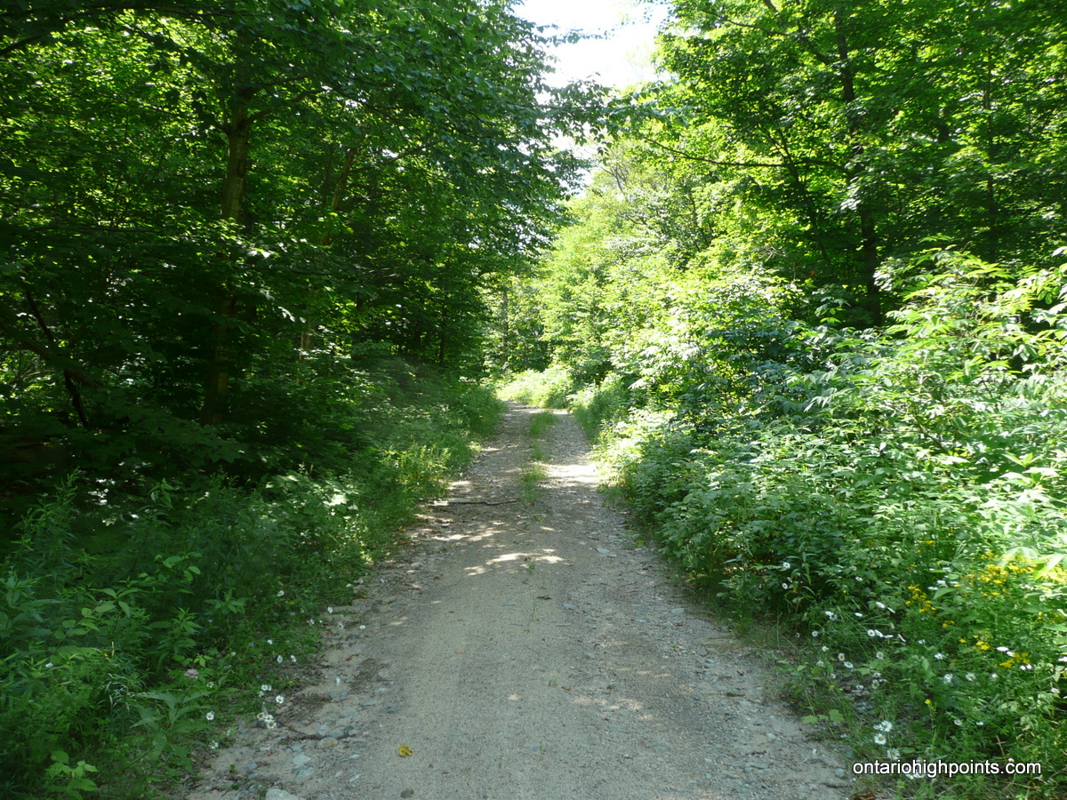
- ATV road
-
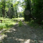
- Gate
-
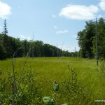
- Clearing along the ATV road

-
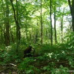
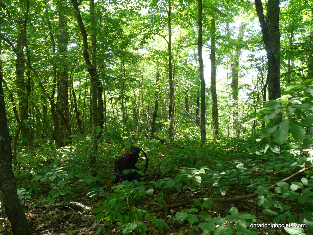
- Parry Sound District High Point summit
-
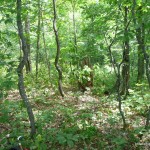
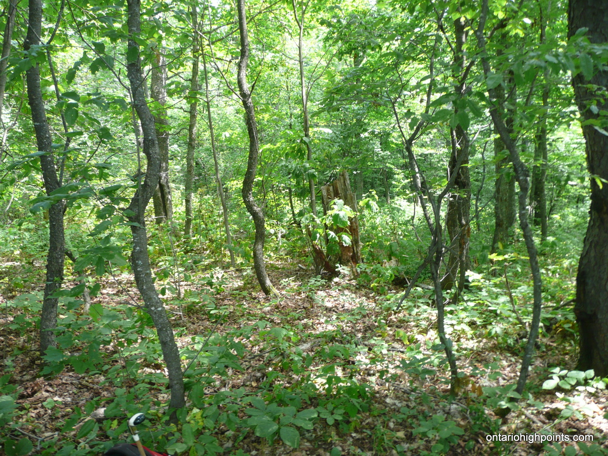
- Parry Sound CoHP summit area
-
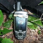
- GPS elevation
Parry Sound High Point GPS Track (.gpx format)
Related Links:
Parry Sound High Point on peakbagger.com