Peak 556
Posted by Derek on May 10, 2022
Height: 1824 feet / 556 meters
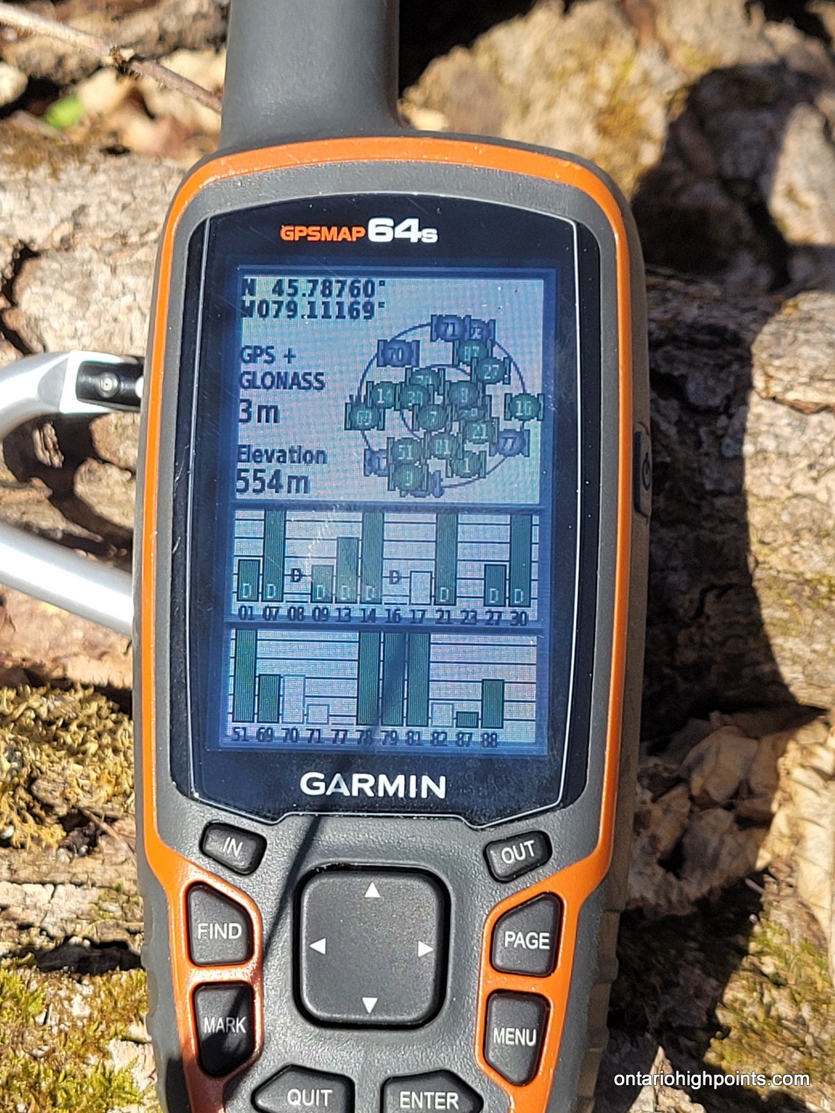
GPS recorded height: 1821 feet / 555 meters
Lat/Lon: N45.78757 W79.11161
Date Summited: May 8, 2022
Directions / Trip Report:
7 km north of Burk’s Falls, I exited Highway 11 and turned onto Pevensey Road. I turned right and drove 12km east (Pevensey Road turns to gravel after Berriedale Road) and then north to Kents Mill Road. I turned right (east) onto Kents Mill Road. It’s a bit rough in spots, but I was able to drive 21.9 km from Pevensey Road via Kents Mill Road to within 2.5 km of the peak. I parked my van at a 3-way intersection, but more adventurous drivers with higher clearance/4-wheel drive vehicles could continue on.
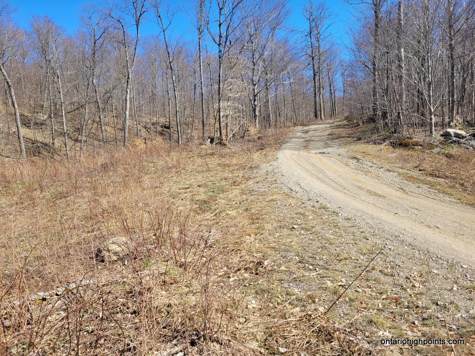
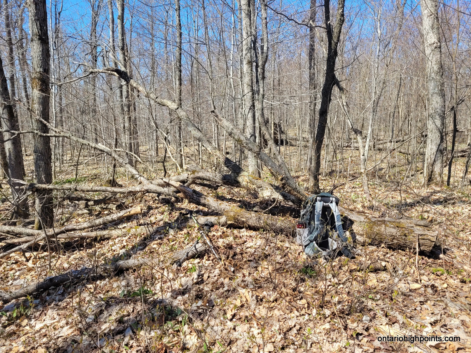
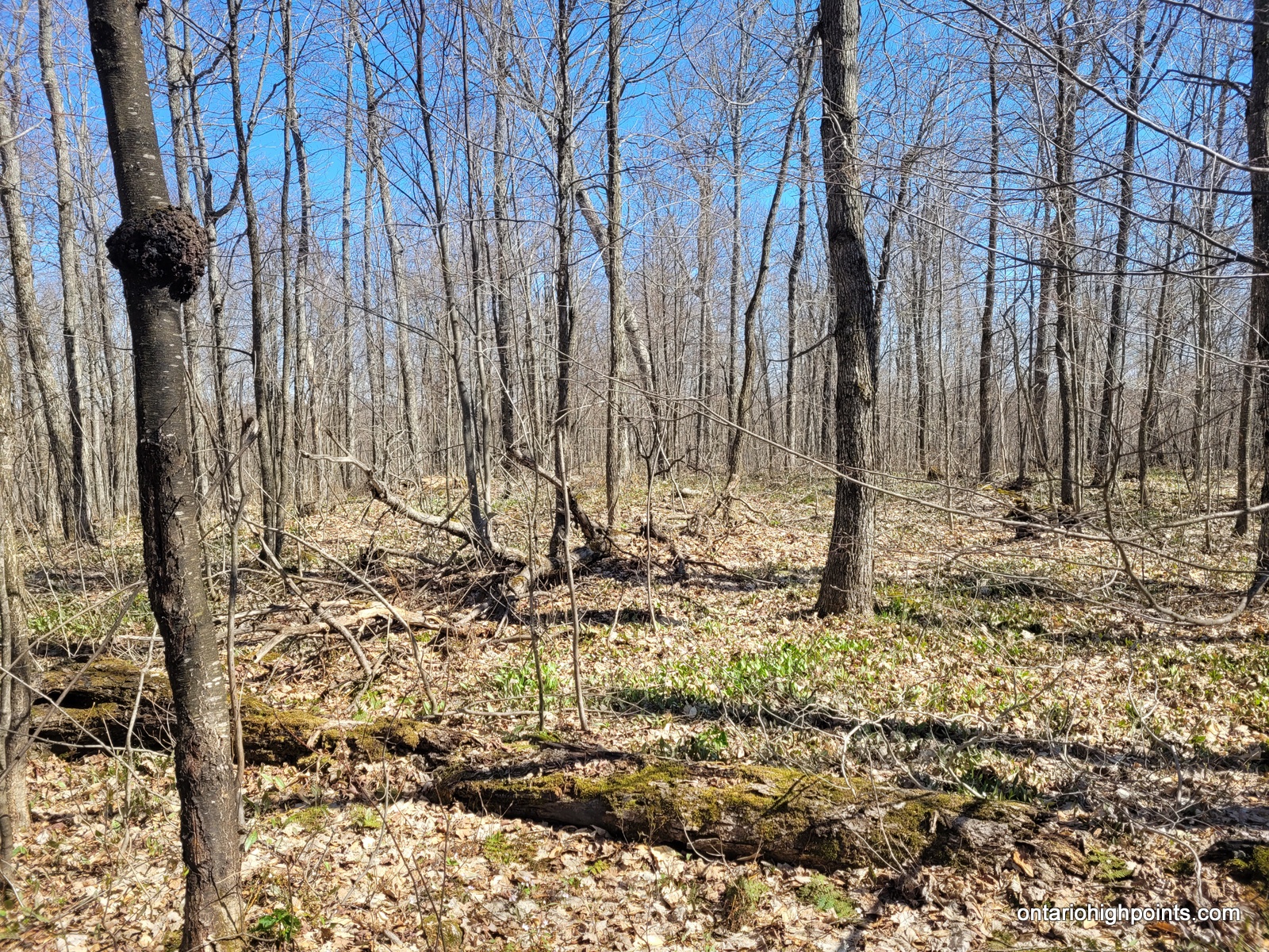
From my parking spot at the 3-way intersection, I started my hike by following the bush road that forked north. I stayed right at the next fork in the road (250 meters in) and then left at the next fork (370 meters in). After hiking 1.8 km, I reached the top of a crest on the road and chose to start my bushwhack west to the summit. The forest isn’t very dense and allows fairly easy passage. It’s about 500 meters to the summit. I found the highest point to be a about 20 meters east of the spot height beside a fallen tree. There are no views at the top.
The summit is on a slight north-south ridge, so I followed it south for a short while then hooked up with an old overgrown skidder path, which I decided to follow back out the road. I proceeded back down the road to my van at the 3-way intersection.
View a larger version of the map
Trip Summary:
00.0 km – Turned east from Pevensey Rd onto Kents Mill Rd (8:48 AM)
21.8 km – Parked at 3-way intersection (9:37 AM)
00.0 km – Departed 3-way intersection north (9:51 AM)
01.9 km – Start of Bushwhack (10:15 AM)
02.5 km – Arrived at summit of Peak 556 (10:30 AM)
02.5 km – Departed summit of Peak 556 (10:40 AM)
03.1 km – Followed skidder trail back to Bush Road (10:49 AM)
04.9 km – Arrived back at parking spot at 3-way intersection (11:10 AM)
00.0 km – Departed 3-way intersection (11:13 AM)
21.9 km – Arrived back at Pevensey Rd (12:03 PM)
Gallery:
-
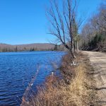
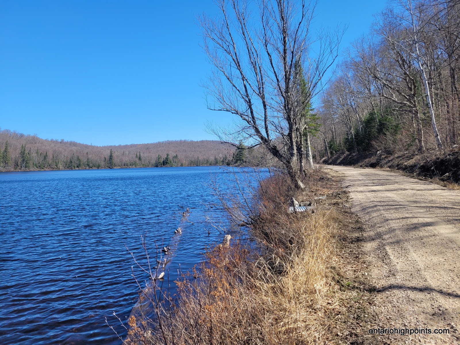
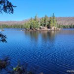
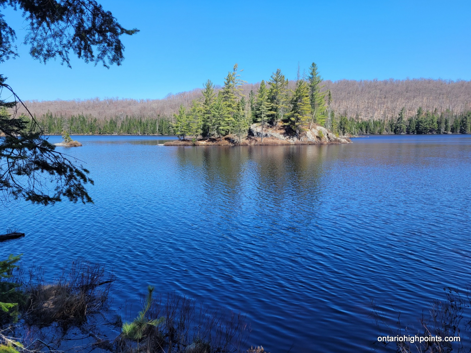
- Kents Mill Road and Bluesky Lake
-
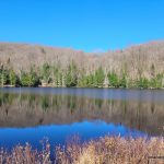
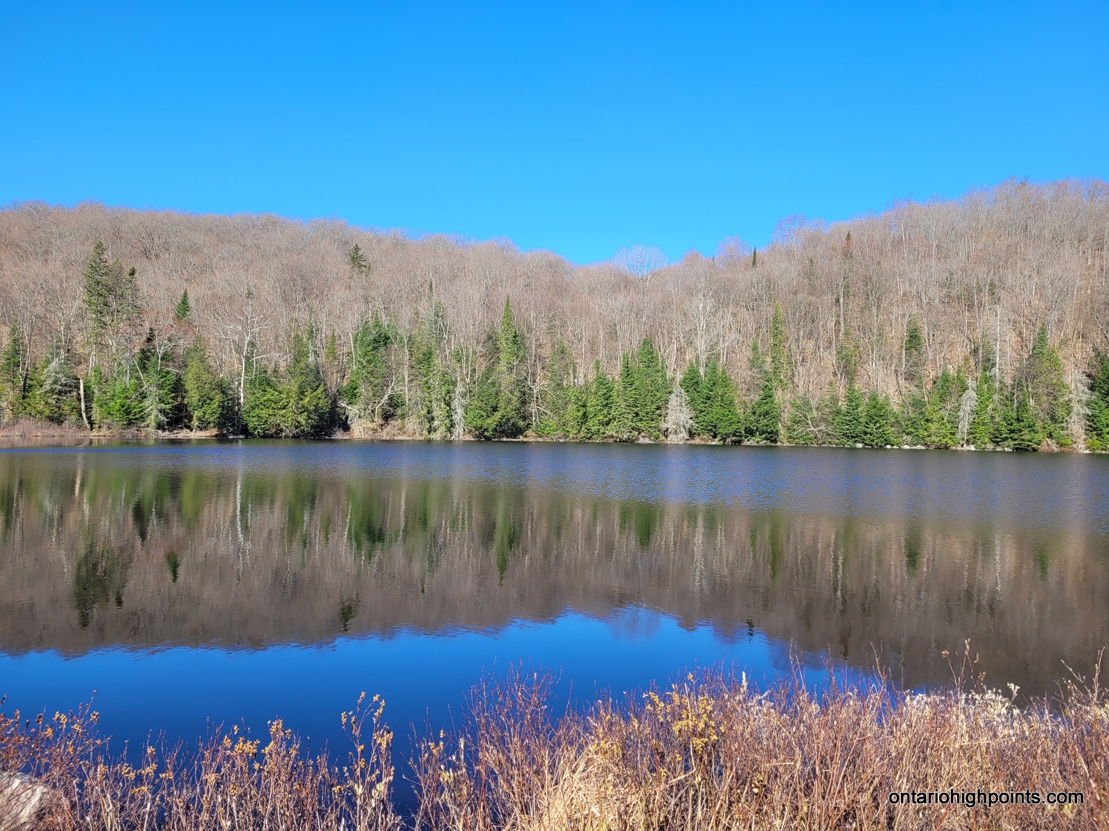
- Bluesky Lake
-
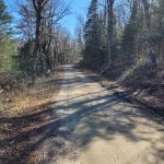
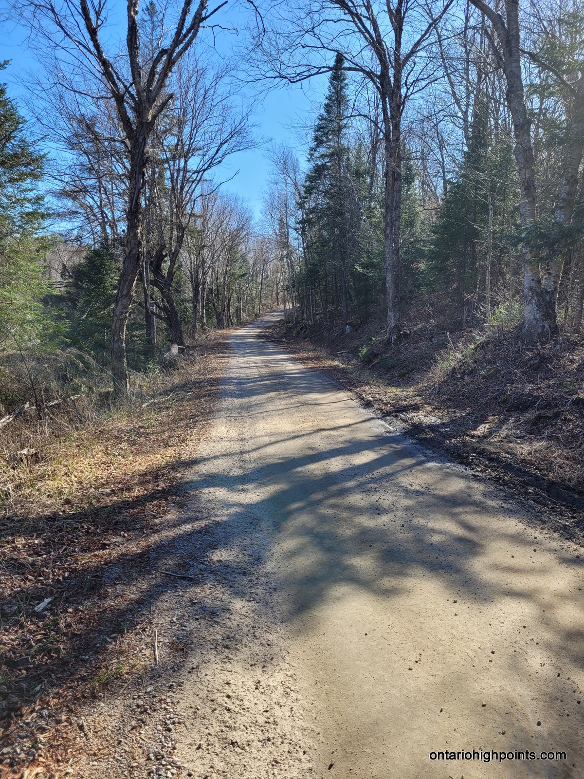
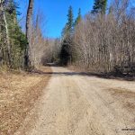
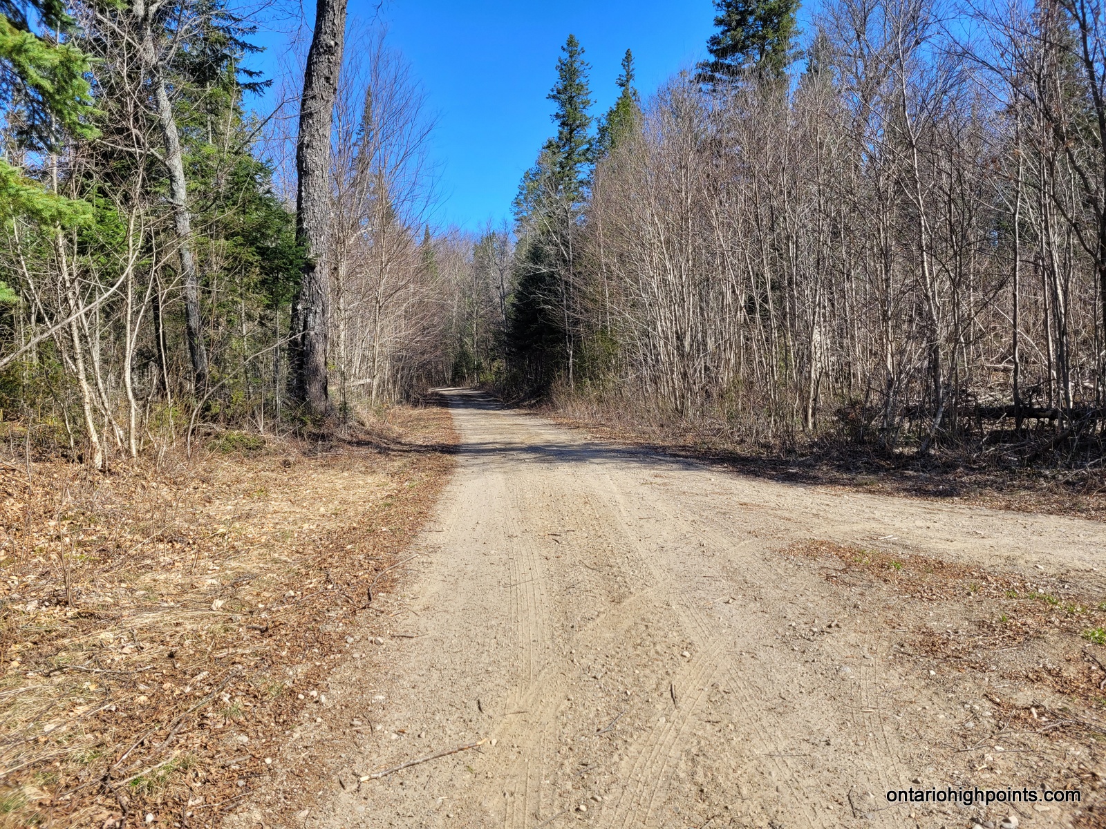
- Kents Mill Road
-
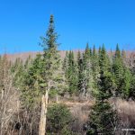
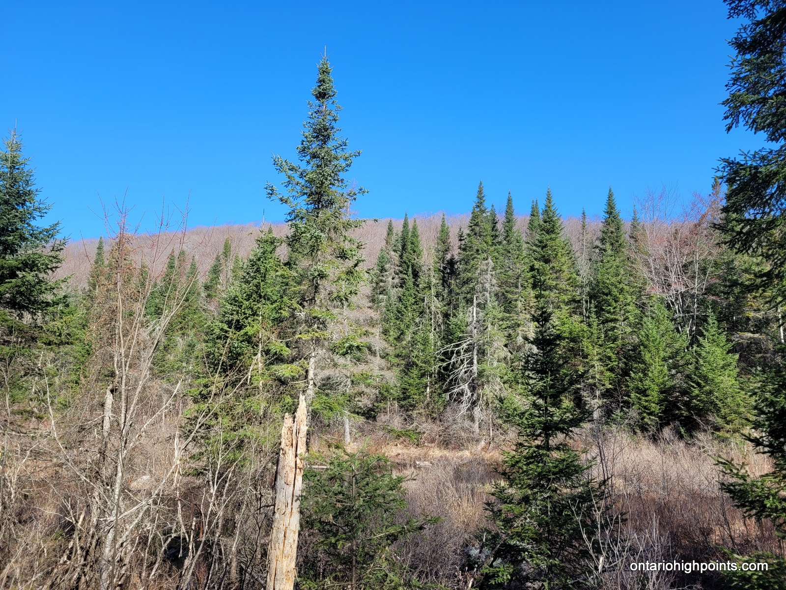
- View of a hill from Kents Mill Road
-
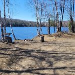
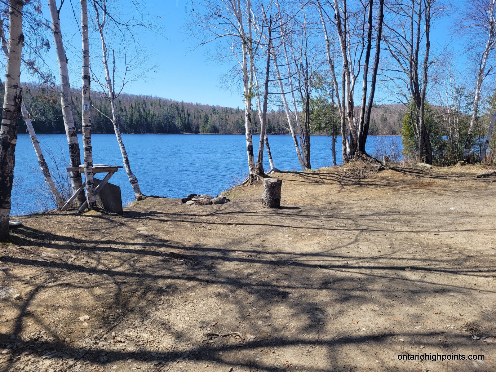
- Roadside campsite on Unnamed Lake 1
-
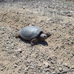
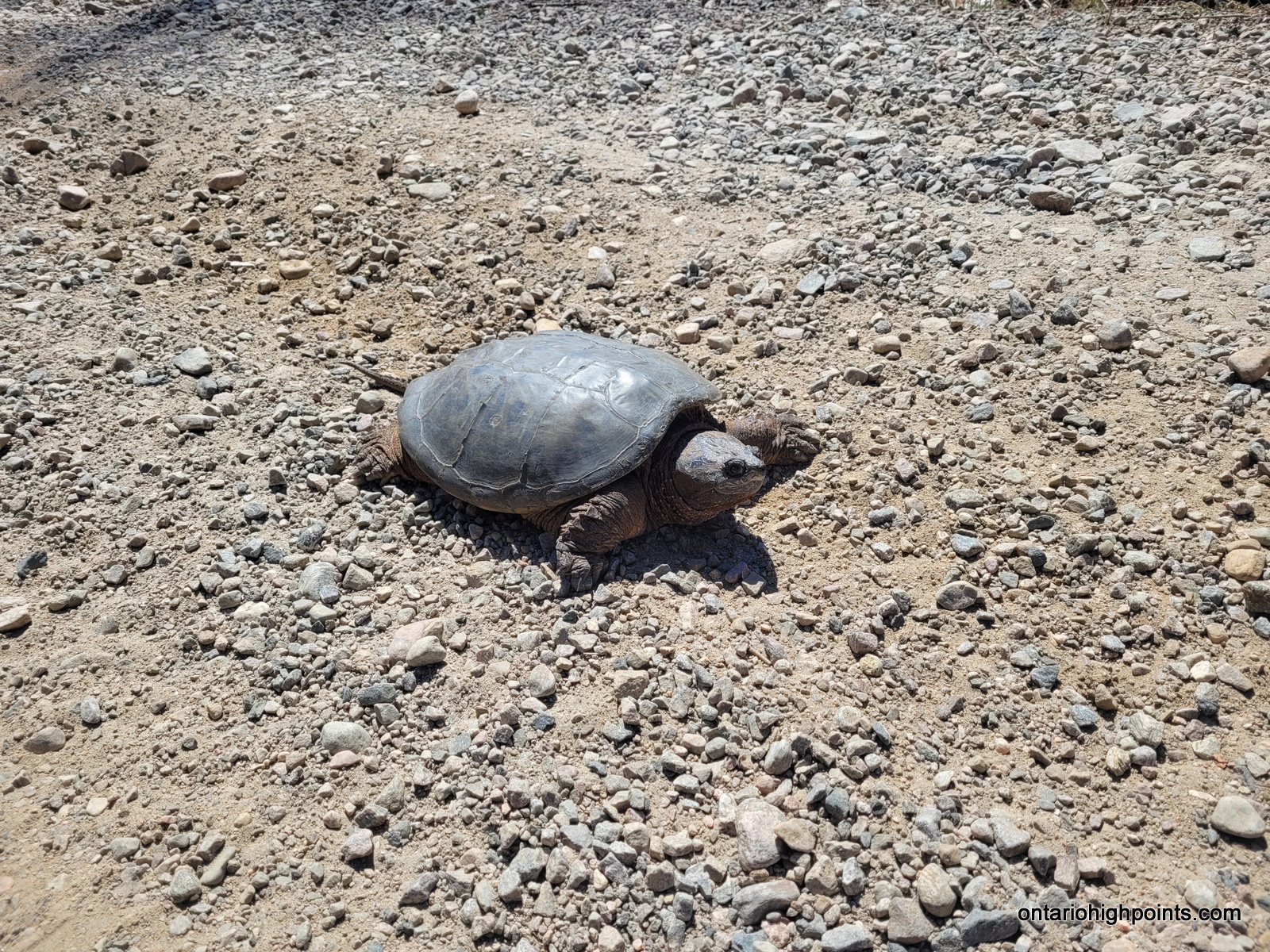
- Snapping Turtle on the road
-
- Unnamed Lake 2
-
- North Fork of the 3-way intersection
-
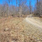
- Bush Road near the start of the bushwhack
-
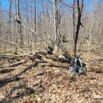
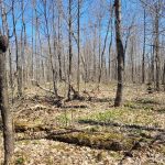
- Summit of Peak 556
-
- Summit area of Peak 556
-
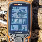
- GPS Elevation of Peak 556
GPS Tracklog (GPX Format):
Peak 556 GPS Track
Related Links:
Peak 556 on Peakbagger.com