Evergreen Mountain
Posted by Derek on Aug 9, 2011
Height: 1368 feet / 417 meters
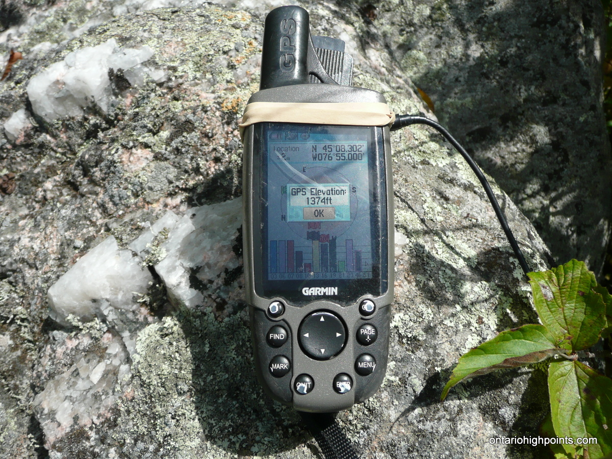
GPS recorded height: 1374 feet / 419 meters
Lat/Lon: N45.13832 W76.91666
Date Summited: August 8, 2011
Directions / Trip Summary:
00.0 km – Optional Parking on Mountain Chute Road, proceed to Hunt Camp Lane
01.5 km – Optional roadside parking
03.9 km – Last place to park for automobiles. Turn left onto ATV path leading to Carleton Fish and Game Camp
07.0 km – Continue on ATV path beyond Carleton Fish and Game Camp to Little Green Lake
07.1 km – Turn Left at the forks
08.2 km – Turn Left at the forks
10.1 km – Turn Left at the forks / Sullivan Lake
10.8 km – Option to diverge from the ATV path at open rocky ridge
11.6+ km – Evergreen Summit and views
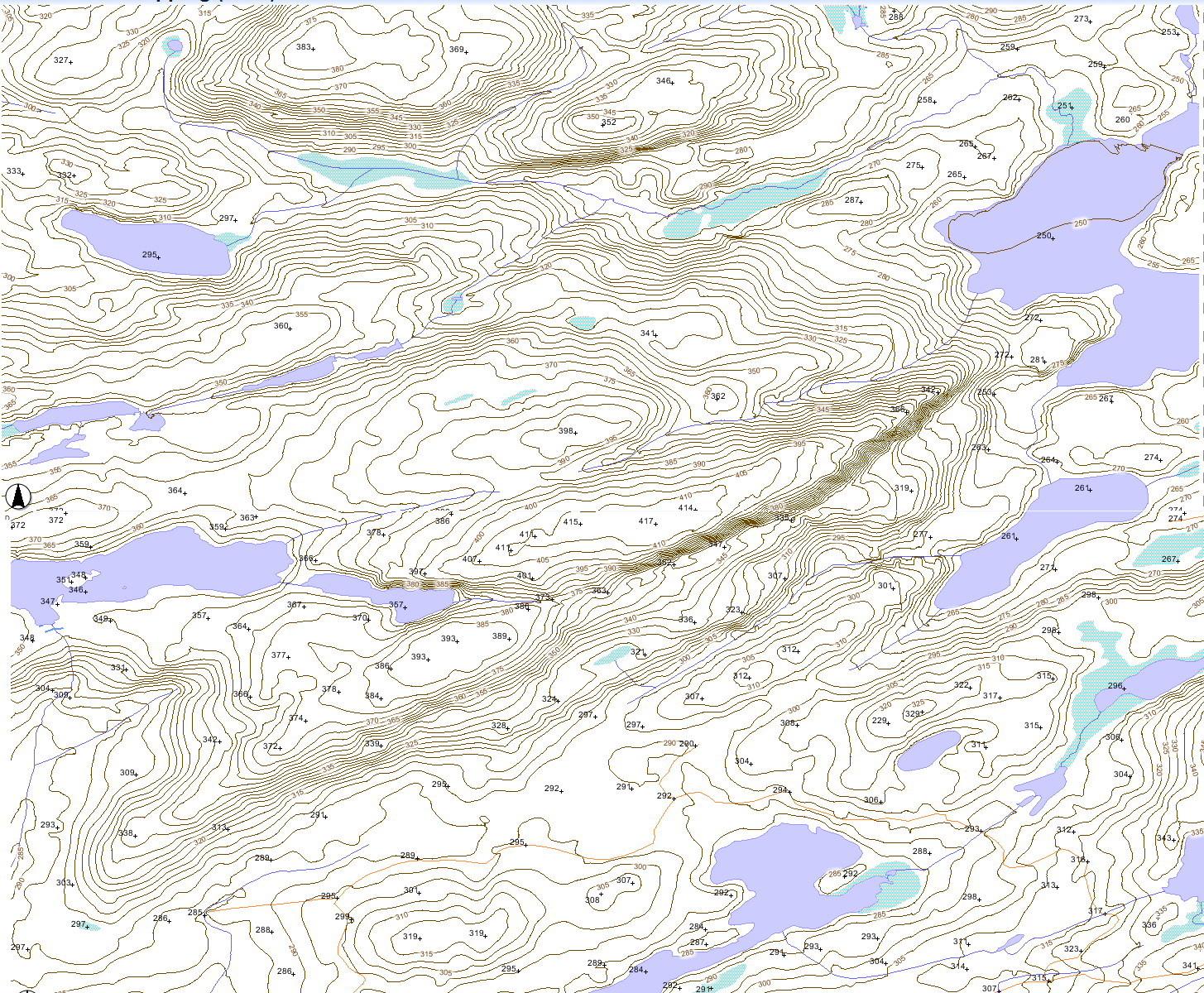
View a larger version of the map
Trip Report:
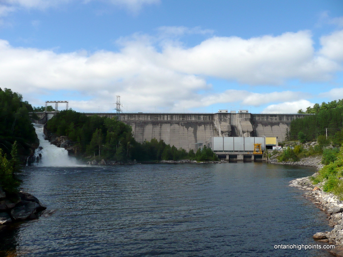
As I was staying in the McArthur Mills / Bancroft area I decided to make a day trip to (relatively) nearby Evergreen Mt. After driving for an hour and a half, I arrived at Mountain Chute Dam. My original plan was to ascend Evergreen Mt. via Skead Lake, which could be reached by driving south from the Dam along Norcan Road. However, having consulted the Crown Land Atlas beforehand, I discovered that the Skead Lake area was on private property and might be closed to the public. Since the road was in good enough shape for driving, I decided to check out the area. After a short drive, my suspicions were confirmed, the road to Skead Lake was gated and signed with “No Trespassing Signs”.
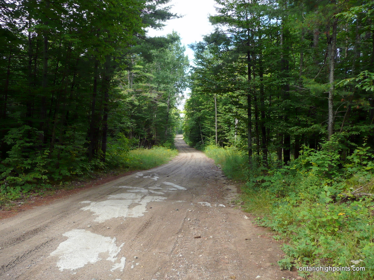
I reversed my course and prepared for my Plan B – an approach to Evergreen from Little Green Lake. After passing a parking area at the south end of the Dam, and a slight mix up where I turned onto the wrong road at the Mountain Chutes Dam Road intersection, I found my way to the “Hunt Camp Lane”, the start of my journey to Little Green Lake. Although the road is passable for most vehicles, after driving a few kilometers, I decided to play it safe. I parked alongside the road and continued on by bike.
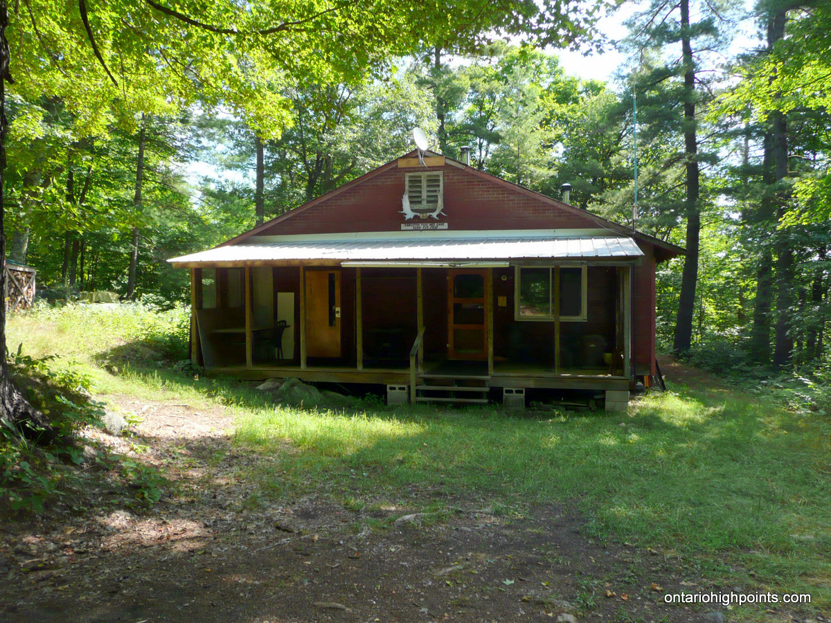
The roads are popular for ATVing and I was passed by a few groups during my easy ride along the gravel/dirt road. About 4.0 km from the top of Mountain Chute Dam, I found the ATV 2-track road turnoff to Little Green Lake. This road was more rugged than the “Hunt Camp Lane” but also made for an enjoyable mountain bike ride. After descending and ascending a steep ravine I reached a clearing and discovered the Carleton Fish and Game lodge/camp. I decided to stash my bike here as it was questionable how much further the road would take me. I continued by foot along the ATV trail which descended to the picturesque Little Green Lake. To my surprise the ATV trail continued on, so I followed it southeast into uncharted territory. This trail was not marked on any of my maps and was not visible from the Google Satellite imagery I had consulted.
Spurred on by my good fortune of not yet having to bushwhack, I followed the trail south and then southwest to a creek crossing. After this point, I felt that since the trail was starting to veer away from my destination and bushwhacking would be necessary for the final portion of the trip. I pulled out my compass, set a bearing and headed out off through the woods.
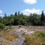
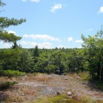
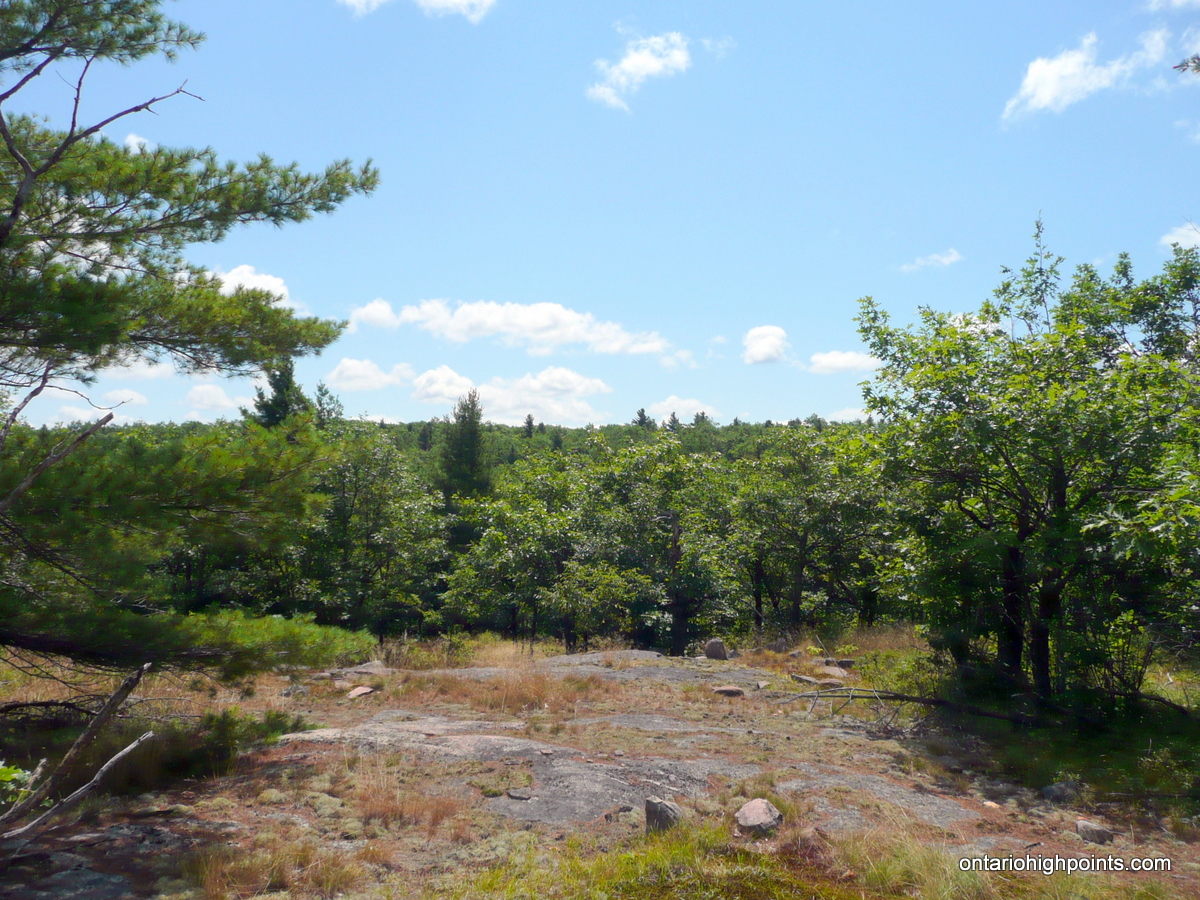
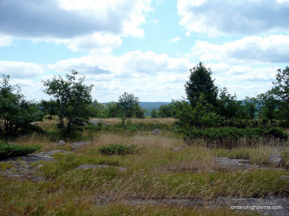
With the hottest part of the day approaching, the bushwhack was a little more difficult than I thought it would be. After 40 mins, I arrived at the first major bump along the way to the Evergreen Mt. summit where exposed rocky ridges made for more easy travel and even provided some views of the higher ridgeline beyond. A short time later, after crossing a rough ATV track, I emerged onto the summit area — an area comprised of exposed rocky ridges bordered to the south by a steep cliff. After exploring the area and crossing the many rocky ridges I was fairly certain I had arrived at the highest point on Evergreen Mt – a large boulder a short distance from the southern cliffs.
After enjoying the views south from the cliffs, I decided to explore the area further and headed west along the exposed (rock mixed with grasses) Evergreen Mt. ridge. On the north side of the Mountain, I was even able to get cell phone reception where I made a phone call to announce my success. Just before descending back into the thicker forest, I stumbled upon an ATV path, most likely the same ATV path which I had spotted up near the summit of the Mountain. I decided to follow it down instead of bushwhacking, which turned out to be a more favourable option than my route in.
The ATV path first headed west, where just before reaching Sullivan Lake, the trail forked. I turned right at the fork and continued west to Sullivan Lake where I stopped to take a few photos. The ATV path then turned north towards Little Green Lake and eventually passed by the spot from which I began the bushwhack up to Evergreen Mountain. I stopped to filter water and cool off at the docks on Little Green Lake before heading back up the hill to the Fish and Game camp to retrieve my bike. I retraced the remainder of the route in and completed my journey back to my car.
Gallery:
-
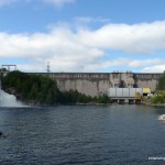
- Mountain Chute Dam – Generation Station
-
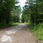
- Dirt Road – Hunt Camp Lane / Power Line Road
-
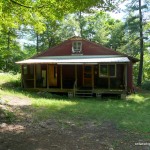
- Carleton Fish and Game Camp
-
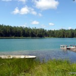
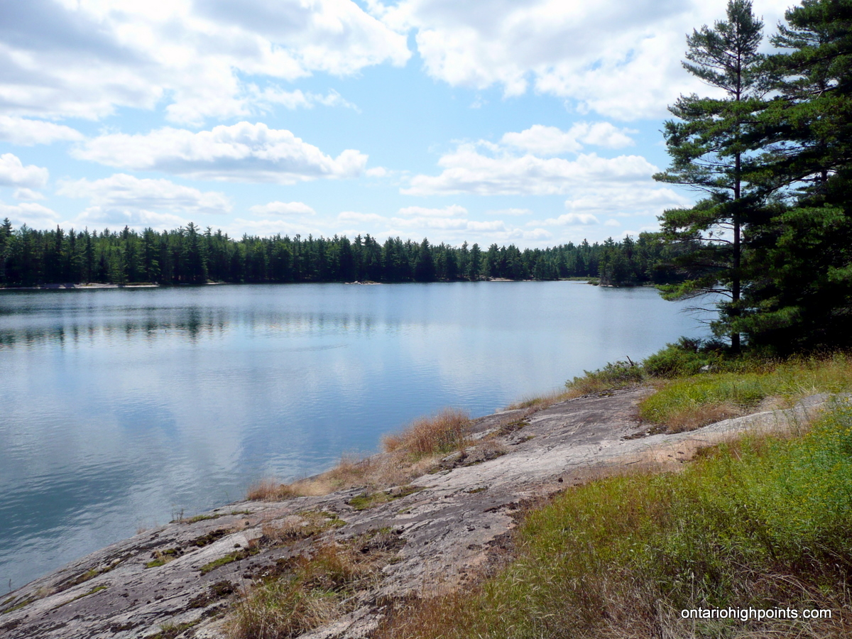
- Little Green Lake

-
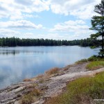
- Sullivan Lake
-
- Exposed rocky ridges on the way to the Evergreen Mt. summit
-
- Highest ridge of Evergreen Mt. in the background
-
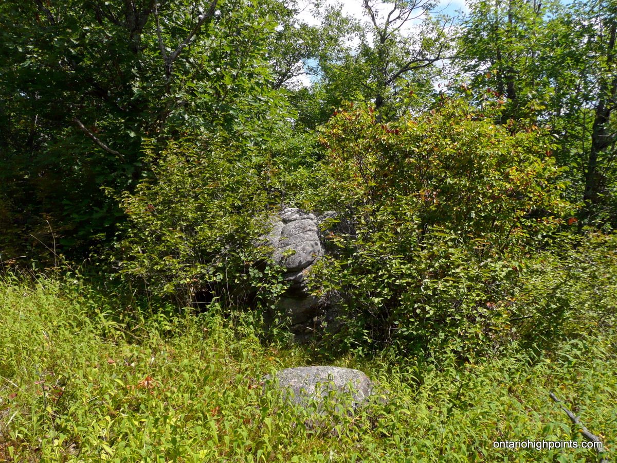
- Rock marking the highest point on Evergreen Mountain
-
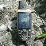
- GPS elevation
-
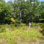
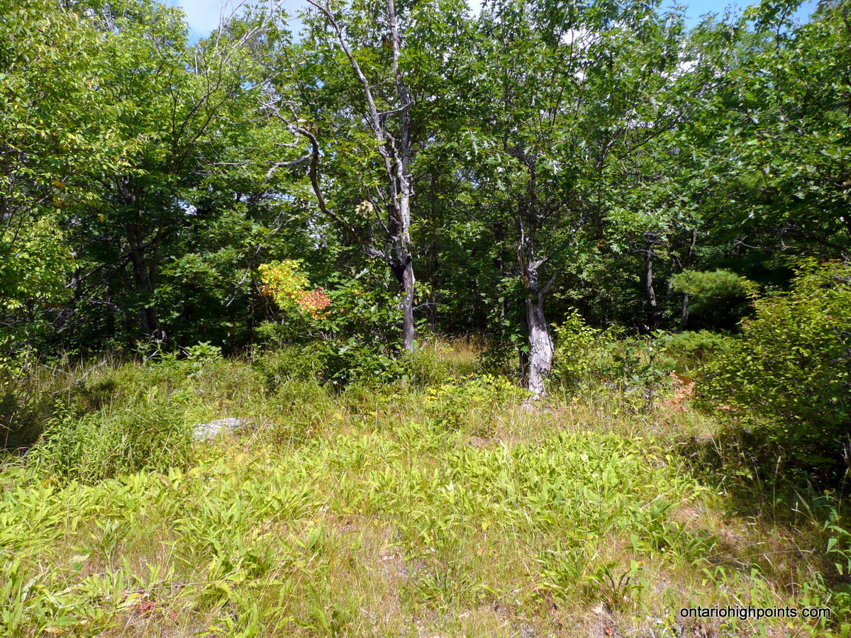
- Evergreen Mountain Summit Area
-
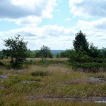
- View west atop open ridgeline
-
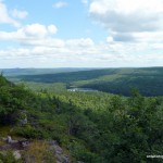
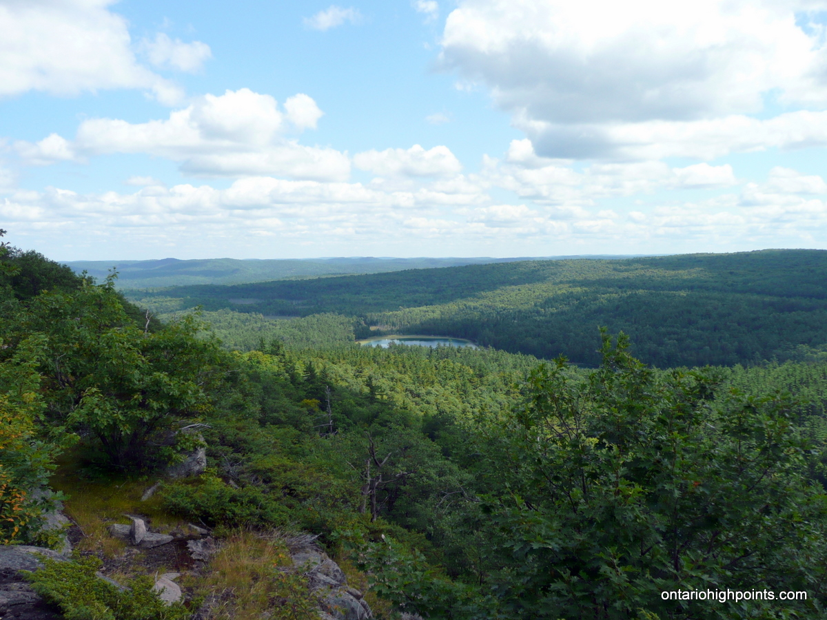
- View southeast from Evergreen Mountain
-

- View south from Evergreen Mountain
-
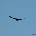
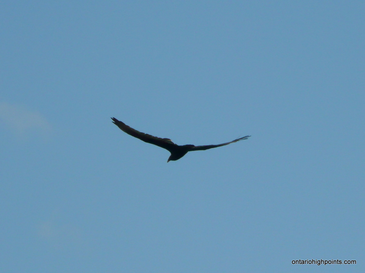
- Riding the thermals
-
- Evergreen OBM Topographical Map
Evergreen Mt. GPS Track (.gpx format)
Related Links:
Evergreen Mountain on peakbagger.com
Very nice. I’ve done this a couple of times – both times I’ve wished I had a bike!
This is a great hike, with beautiful views.
Glad that you saw Sullivan Lake, but you missed one of the highlights, which is the area at the head of Sullivan Lake and where Snowshoe Lake feeds into it. You headed off into the woods too soon – the trail would have taken you to Sullivan Lake (looks like you have a photo of the place), then you more or less follow it along until Snowshoe Lake. Snowshoe Lake is small, but it has some impressive cliffs.
Hi Matt, Thanks for the information. I really enjoyed the hike — excellent scenery and views. If I’m back in the area this summer, I’ll have to check out the area around Snowshoe Lake. Do you know if there’s a trail from Snowshoe Lake up to Evergreen Mountain, or do you have to head back to the junction at Sullivan Lake?
Hi Derek, the trail sort of peters out once you get to Snowshoe Lake, at least it did when I was there last. However, it’s not too hard to scramble your way up to the height of land from there. That said, I did almost get lost trying to make my way back down after spending time up on the ridge and losing track of Snowshoe Lake. Partly exhaustion I think – but I also don’t think I had my GPS.
The trail passes by a nice little campsite on Sullivan Lake, with a great swimming spot.
Your story sure brings back memories. My father, now deceased, was a member of the Carleton Fish and Game club and we went fishing at Sullivan Lake many times. If the fishing was slow, I’d get out my map and compass and explore the surrounding area including Evergreen Mountain.
i am really interested in making this hike. how long do you think it would take to get to evergreen peek by foot from the chute station damn parking. did you do this in one day?
Justin, I completed this hike in one day. Including return, I hiked from the Carleton Fish and Game Camp to Evergreen Mountain in about 3.5 hours. The (Hunt Camp Lane / Powerline Road) road from Mountain Chute Dam is pretty flat and easily walked, however it will add 4 km each way to your hike, so maybe 2 extra hours. Add the 3 km hike from Hunt Camp Lane / Powerline Road along the ATV road to Carlton Camp and you will have a full day of hiking. You’ll have to decide whether your fitness level will accommodate a 23km hike.