Mt. Belvedere
Posted by Derek on Oct 18, 2013

Mt. Belvedere
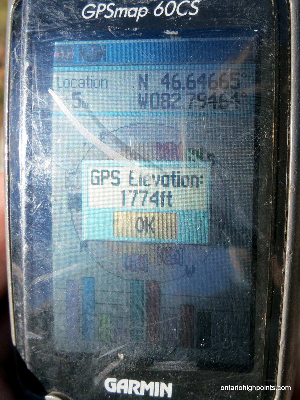
GPS recorded height: 1774 feet / 541 meters
Lat/Lon: N46 38.799 W82 47.678
Date Summited: October 12, 2013
Overview:
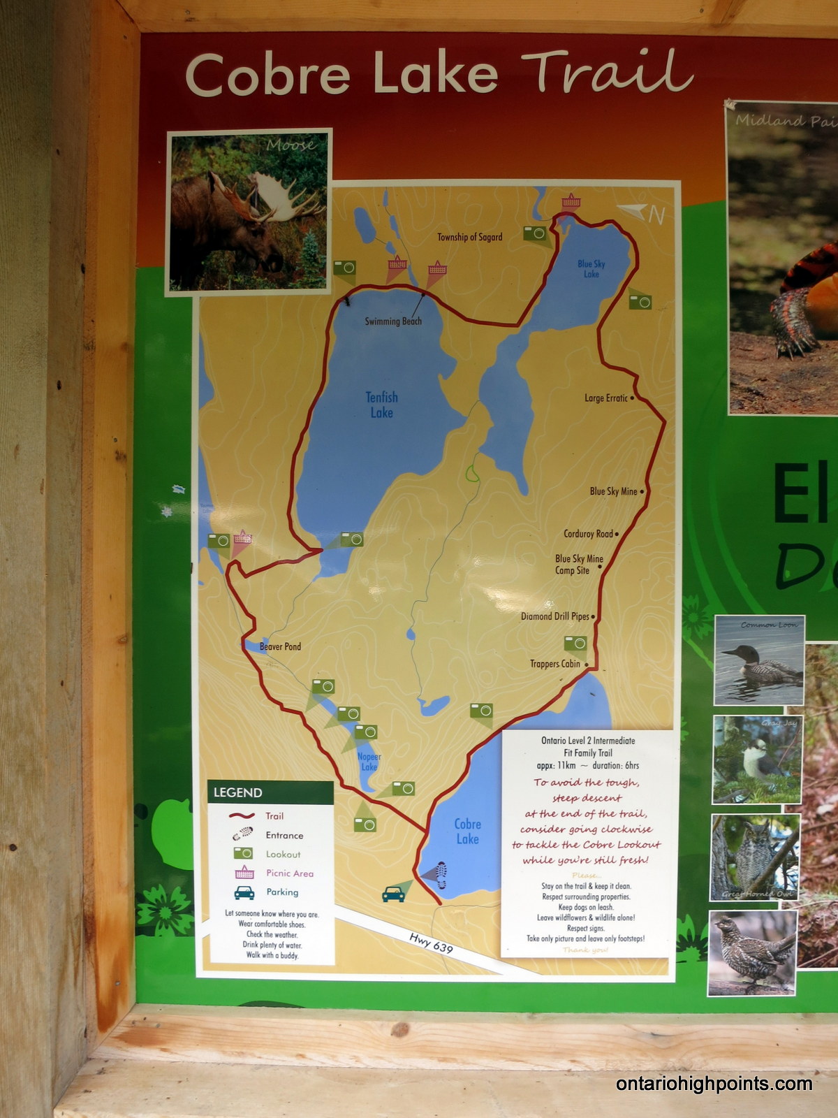
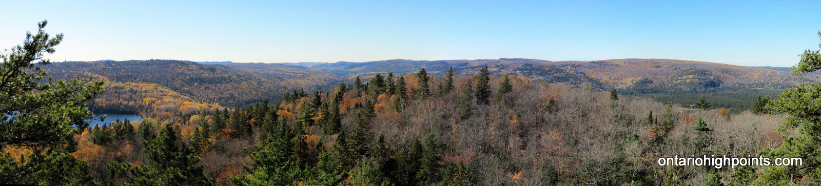
Mt. Belvedere is a prominent hill in the Rawhide Conservation Reserve, north of Elliot Lake. It is a short hike (1.5 km) via the Cobre Lake Trail, to the open summit with its spectacular views of the lakes and hills in the area. Hikers have the option to hike the entire 12.8 km Cobre Lake loop trail through forests containing old growth red and white pines, picturesque blue lakes with sand beaches, and artifacts of the area’s mining days.
Directions:
From the intersection with Hwy. 17 at Serpent River, take Hwy. 108 north to Elliot Lake for 27 km. Continue north along Hwy. 108 through Elliot Lake. At Quirke Mine Road, 42 km from Hwy 17, Hwy. 108 becomes Secondary Highway 639. Continue northward along the road for 20 km and pass through Mississagi Provincial Park. The turnoff to the Cobre Lake Trail parking lot lies 62 km from the junction with Hwy 17, just as the road starts to descend into the Little White River valley. Turn right onto the short rough road and make your way east for 250 meters and then turn left at the 3 way intersection and head north for a further 250 meters to the parking area.
View a larger version of the map
Trip Summary:
00.0 km – Departed Cobre Lake Trail parking lot (12:35 PM)
00.5 km – Turned left at loop intersection towards Mt. Belvedere (12:43 PM)
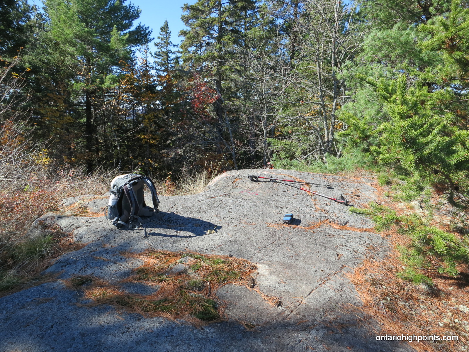
01.5 km – Arrived at the summit of Mt. Belvedere, signed register (1:10 PM)
01.5 km – Departed summit of Mt. Belvedere (1:30 PM)
03.0 km – Arrived at Vasseau Lake (2:00 PM)
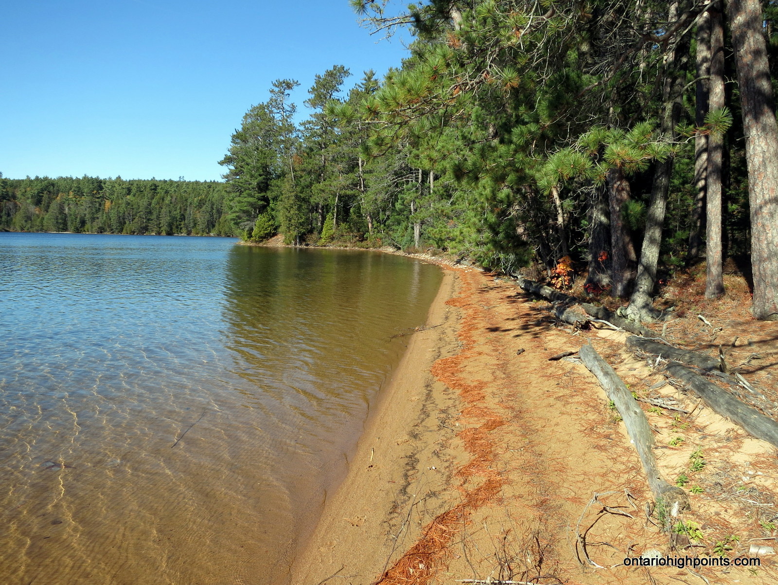
05.6 km – Arrived at sand beach on Tenfish Lake (2:47 PM)
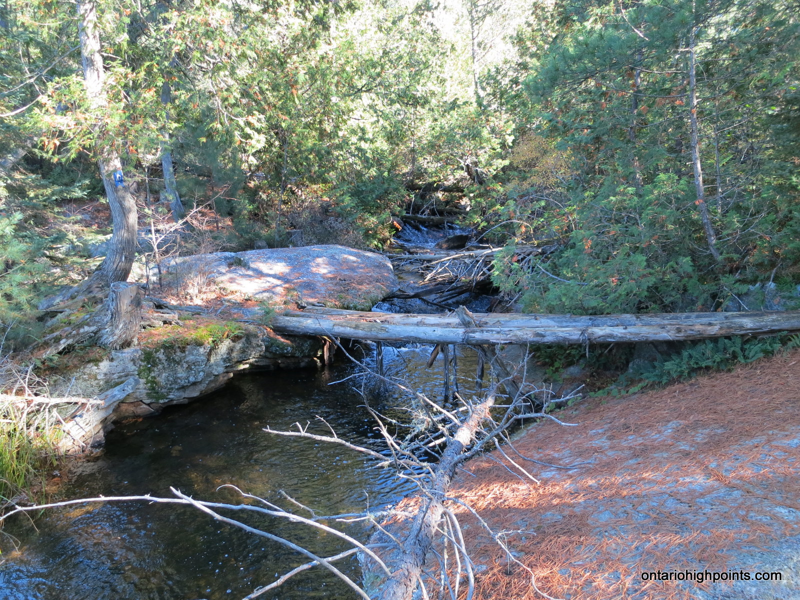
07.0 km – Log ‘bridge’ creek creek crossing near Blue Sky Lake (3:14 PM)
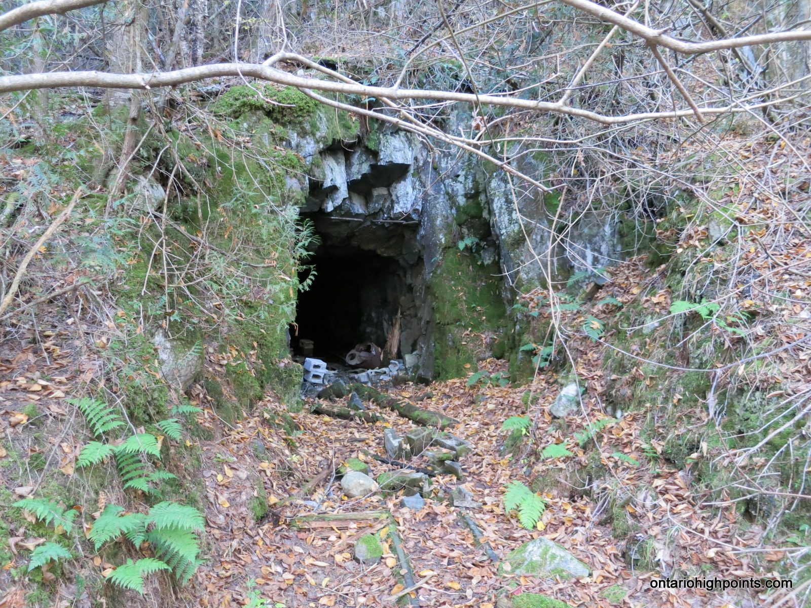
08.9 km – Blue Sky Mine adit (3:41 PM)
10.7 km – Arrived at eastern shore of Cobre Lake / trapper’s cabin (4:14 PM)
12.8 km – Arrived back at Cobre Lake Trail parking lot (4:48 PM)
Gallery
-
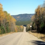
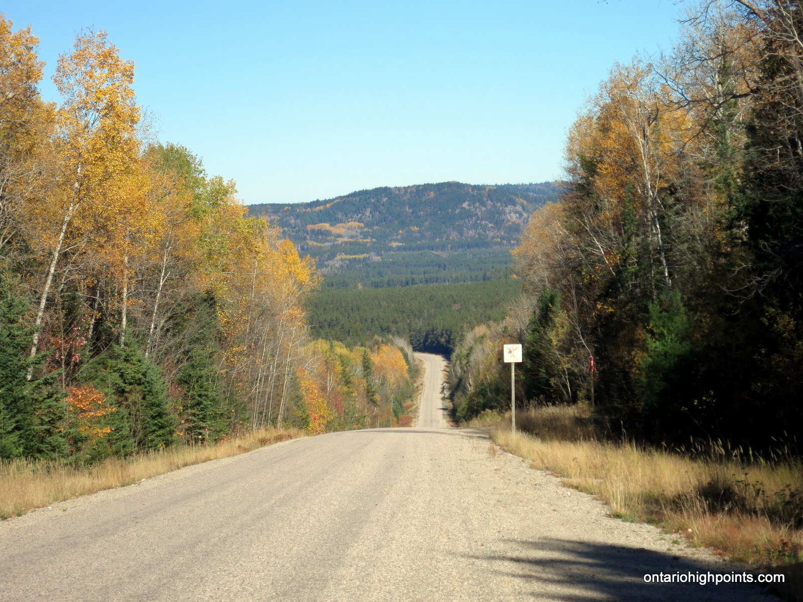
- The view north along Hwy 639 at the turnoff to the Cobre Lake Trail
-
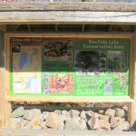
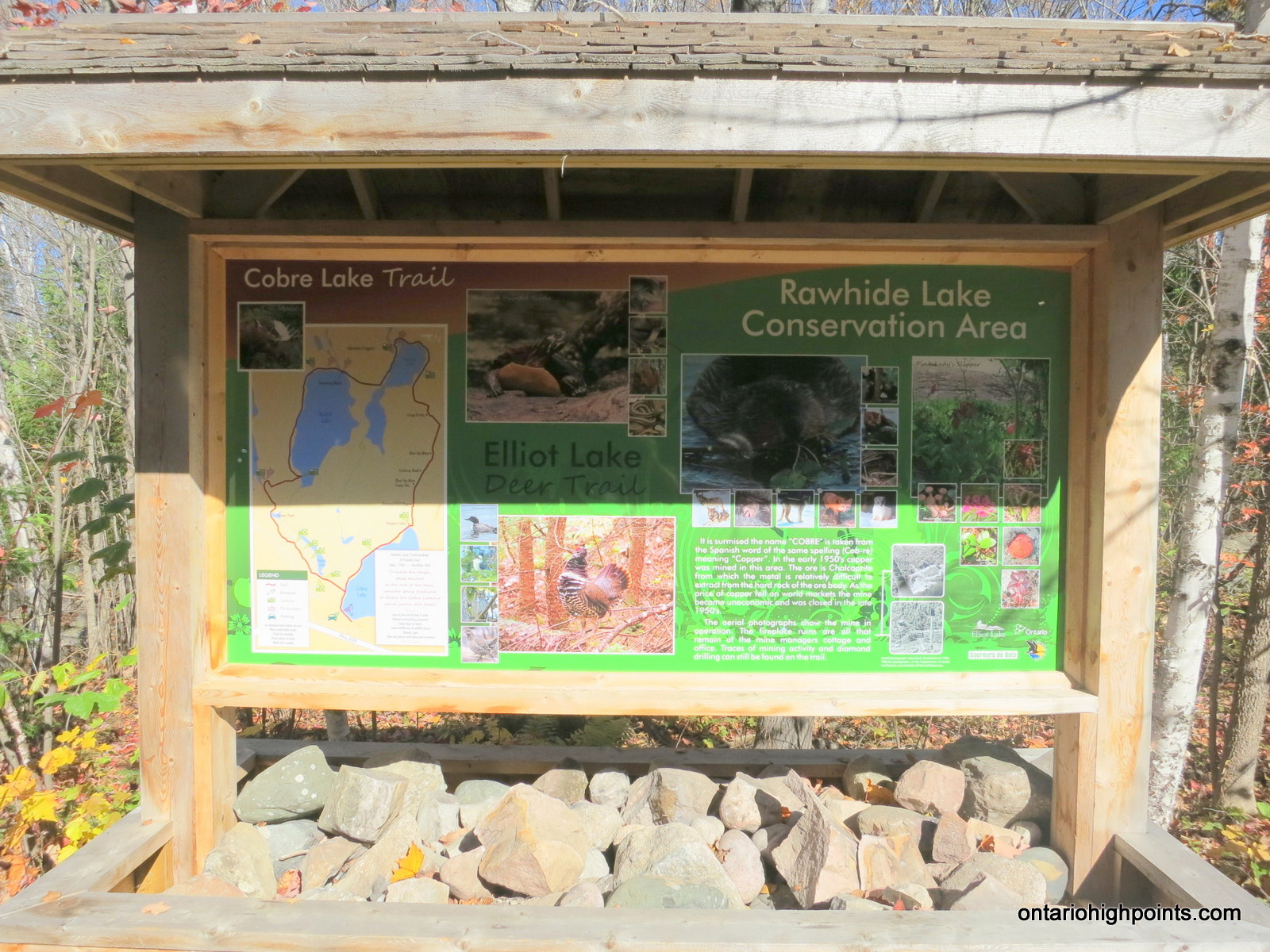
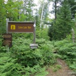
- Cobre Lake Trail information kiosk
-
- Map of the Cobre Lake Trail at the information kiosk
-

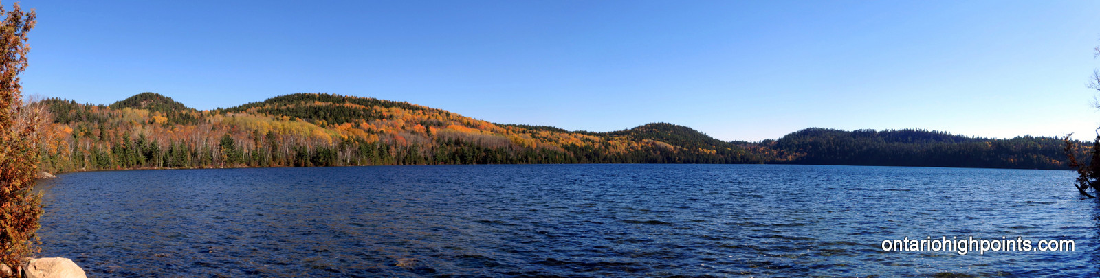
- Panoramic of Cobre Lake from the boat launch
-
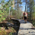
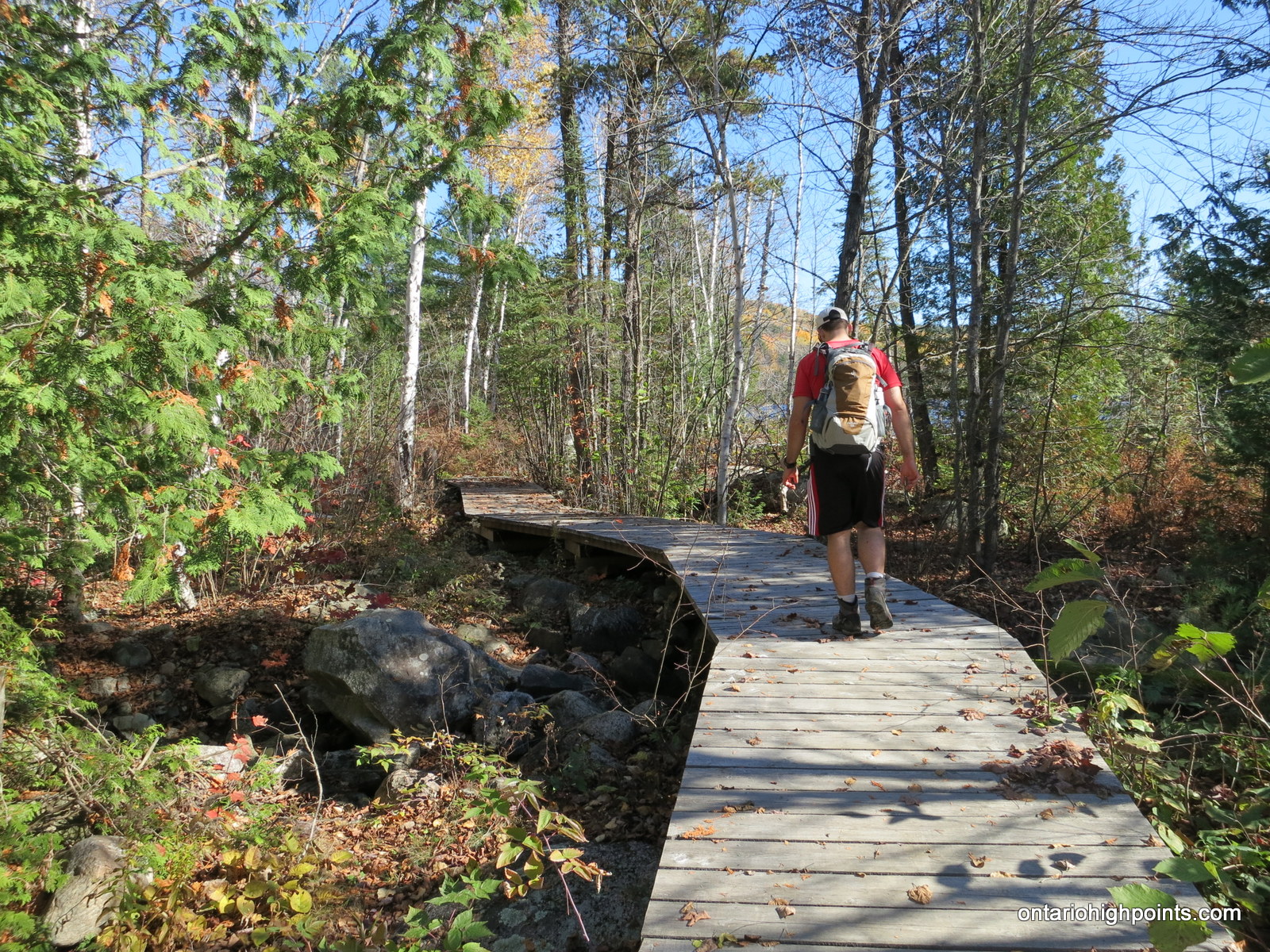
- Start of the hike
-
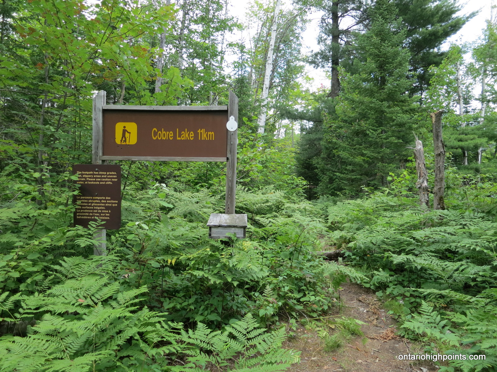
- Cobre Lake Trail sign
-
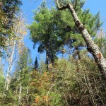
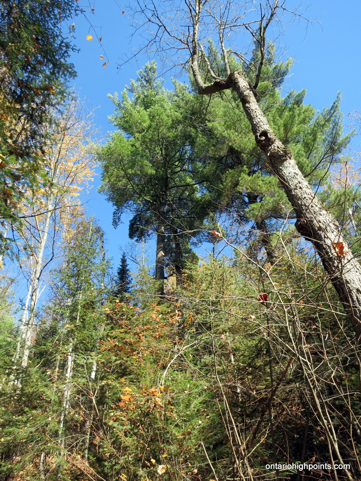
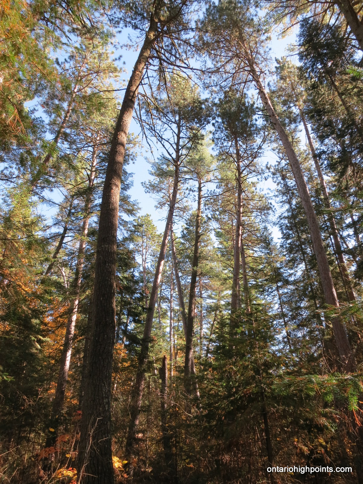
- Forest – White Pines
-
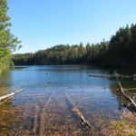
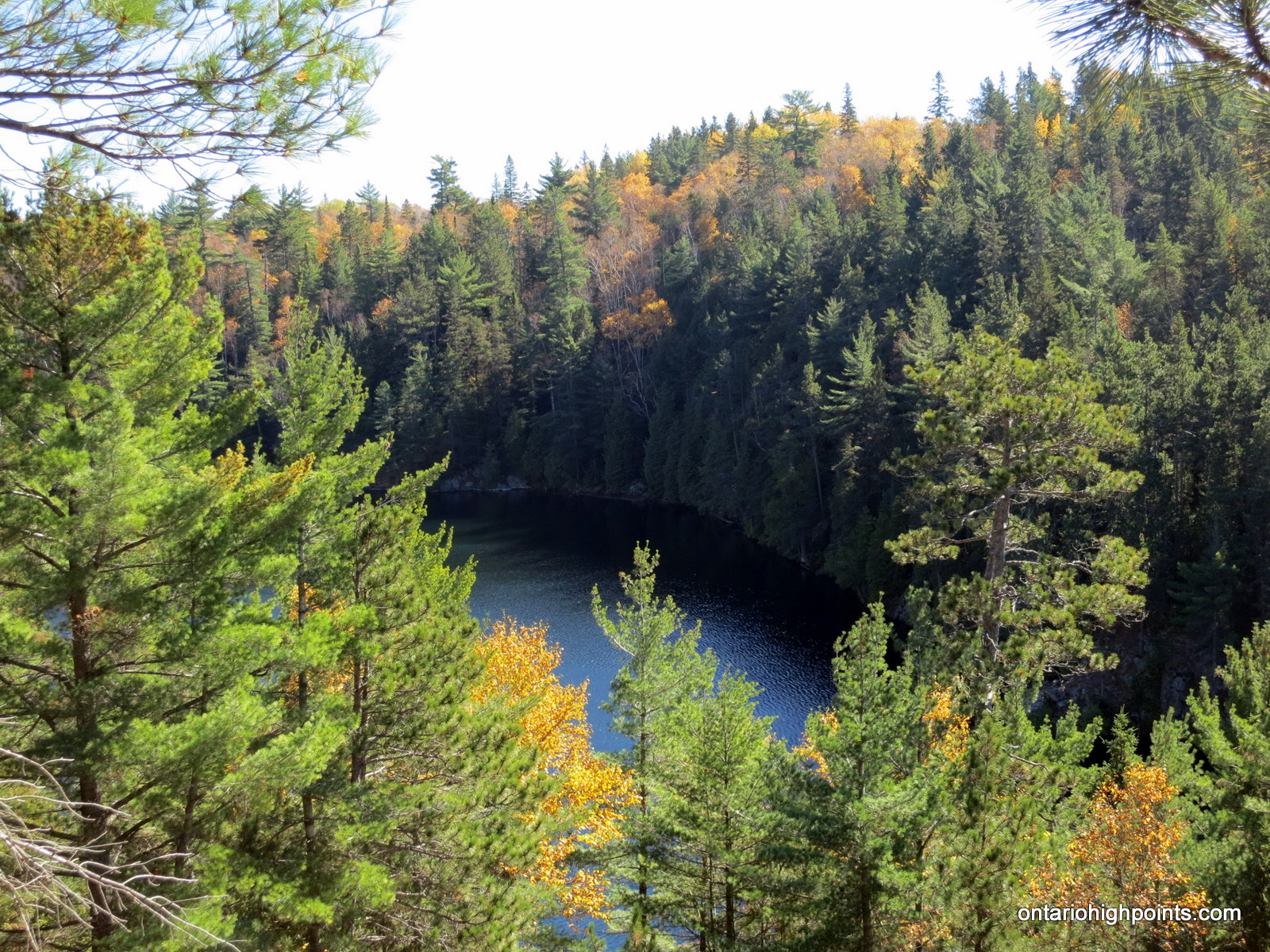
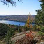
- Nopeer Lake: a small lake at the base of Mt. Belvedere
-
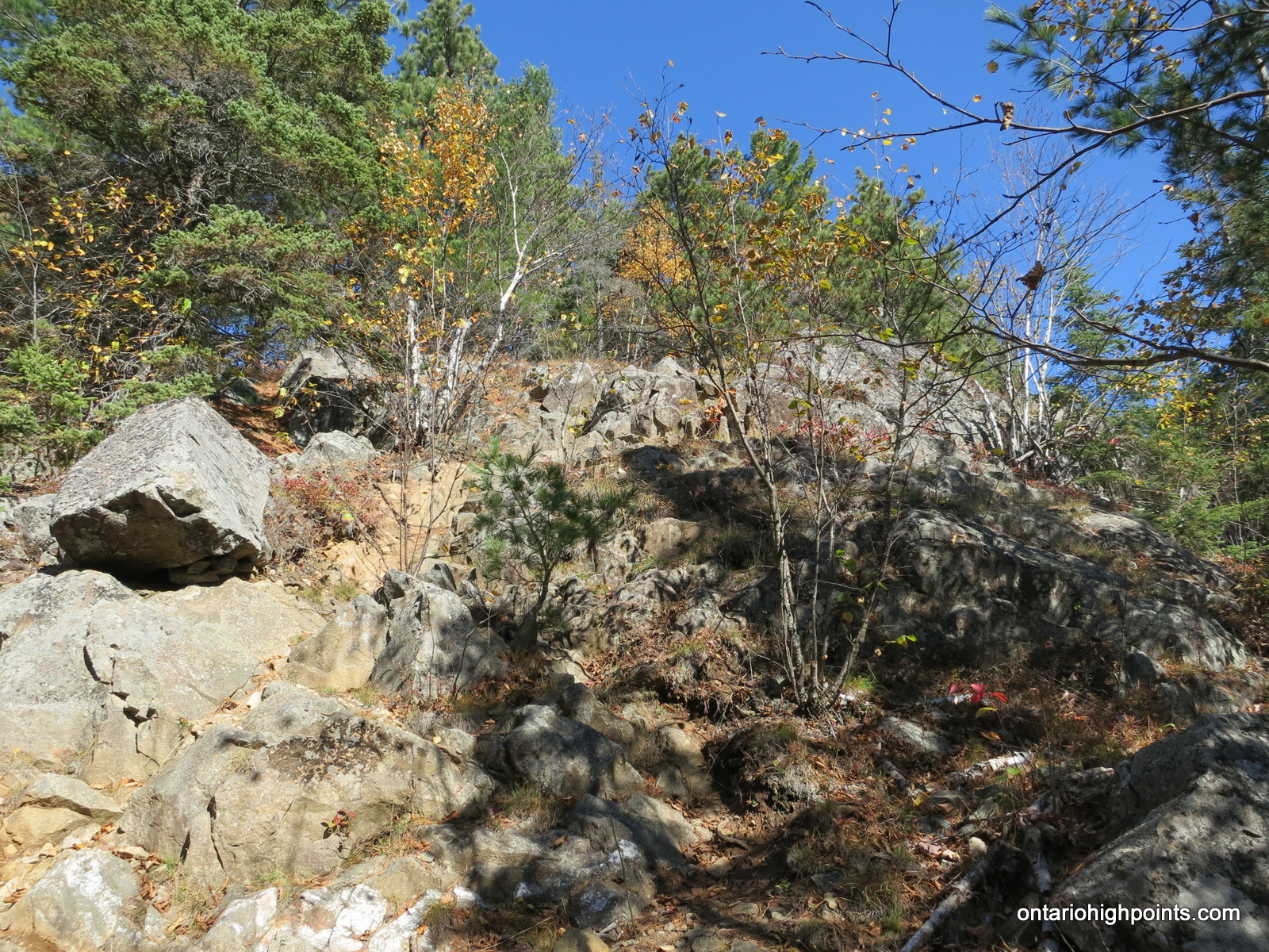
- The trail steepens near the top
-
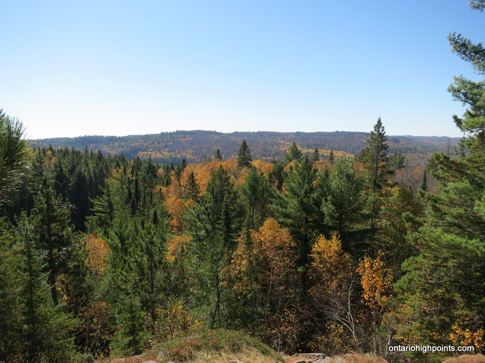
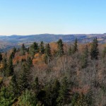
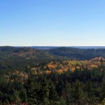
- First view from Belvedere, towards the southwest
-
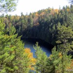
- Looking down at Nopeer Lake
-
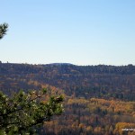
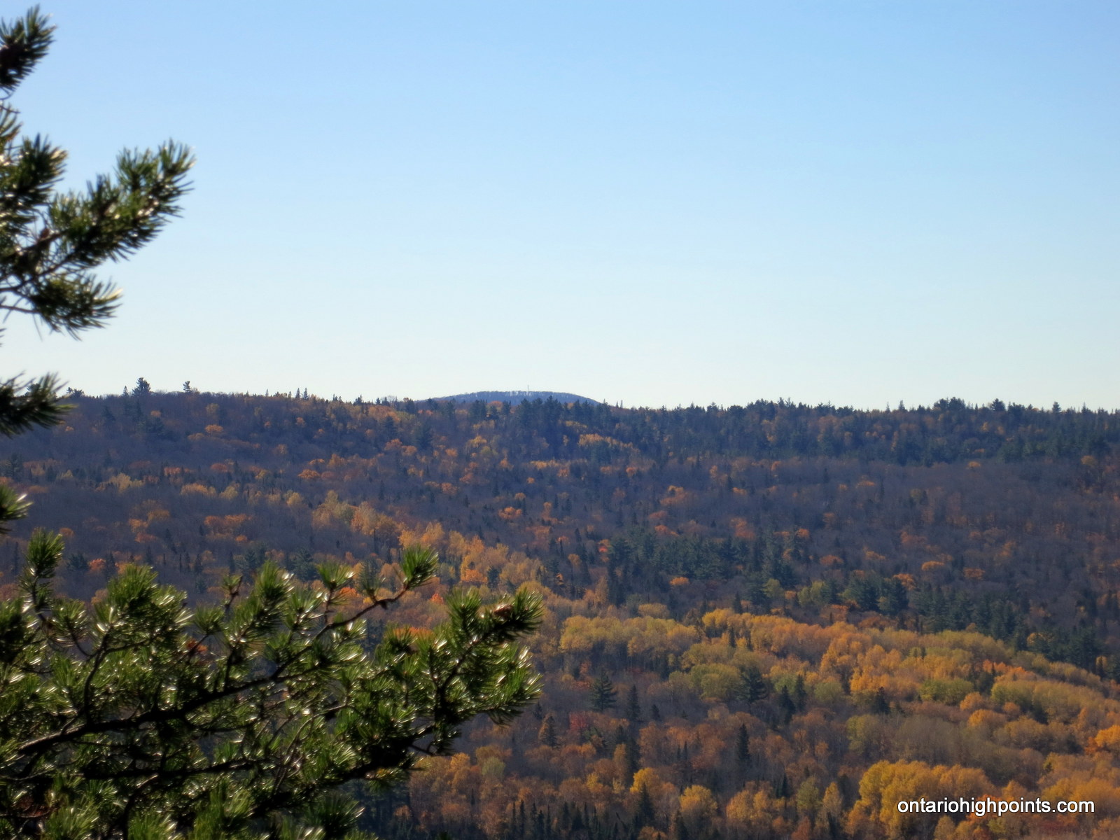
- Wilkie fire tower in the distance
-
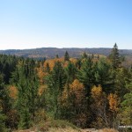
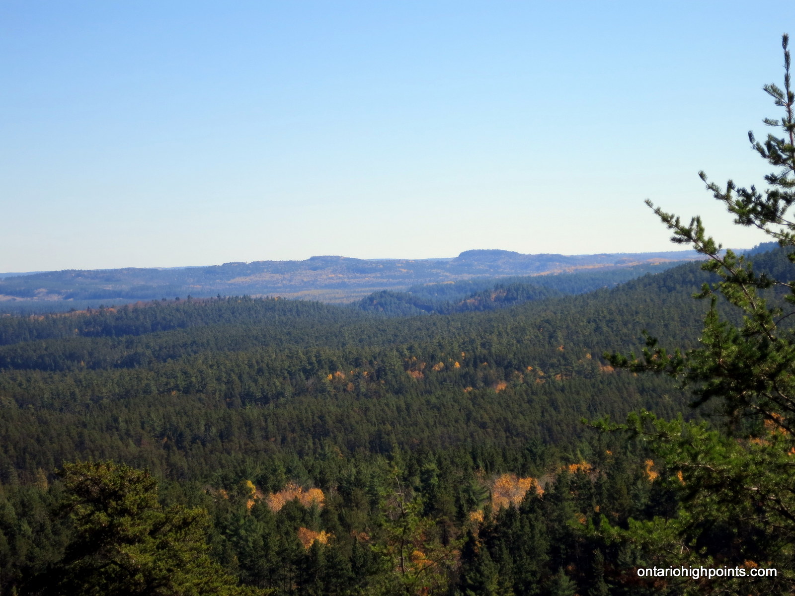
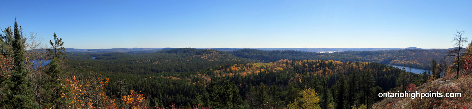
- West panoramic of the Little White River Valley region
-
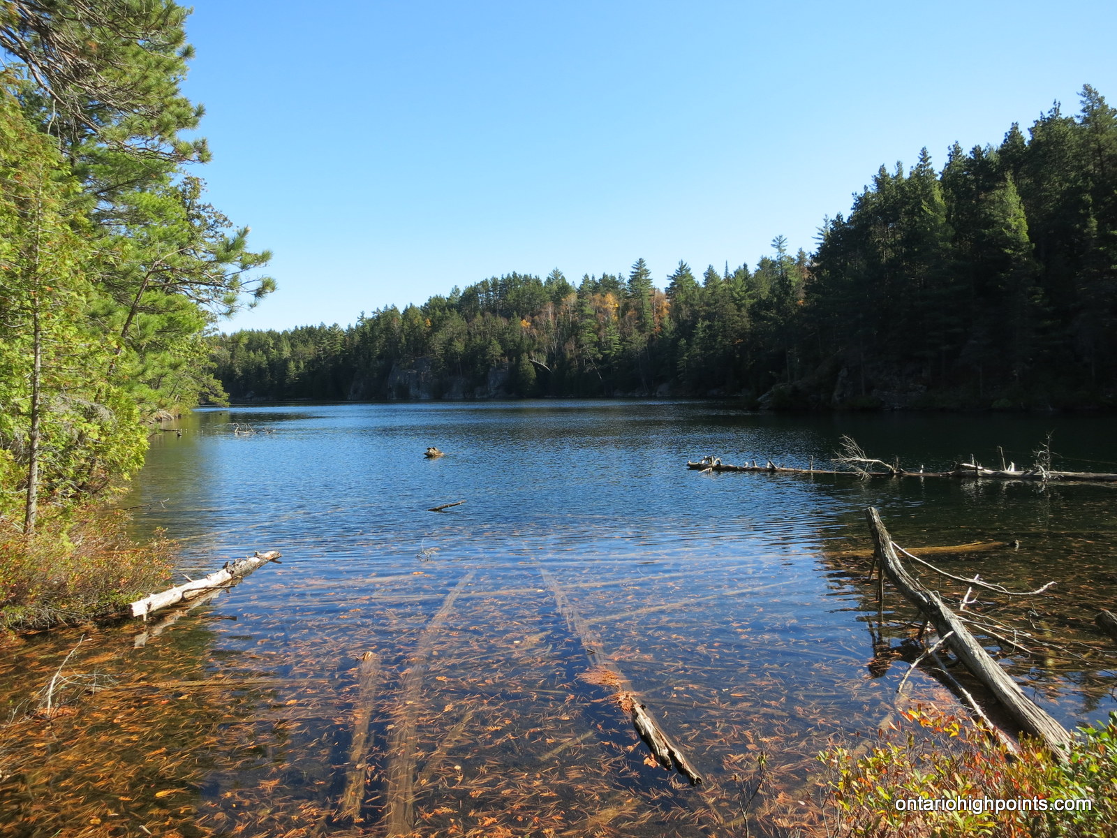
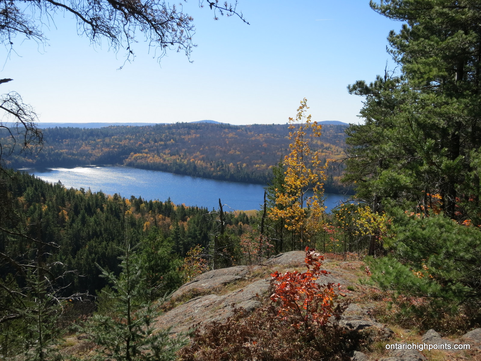
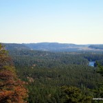
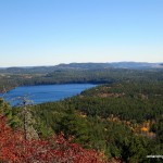
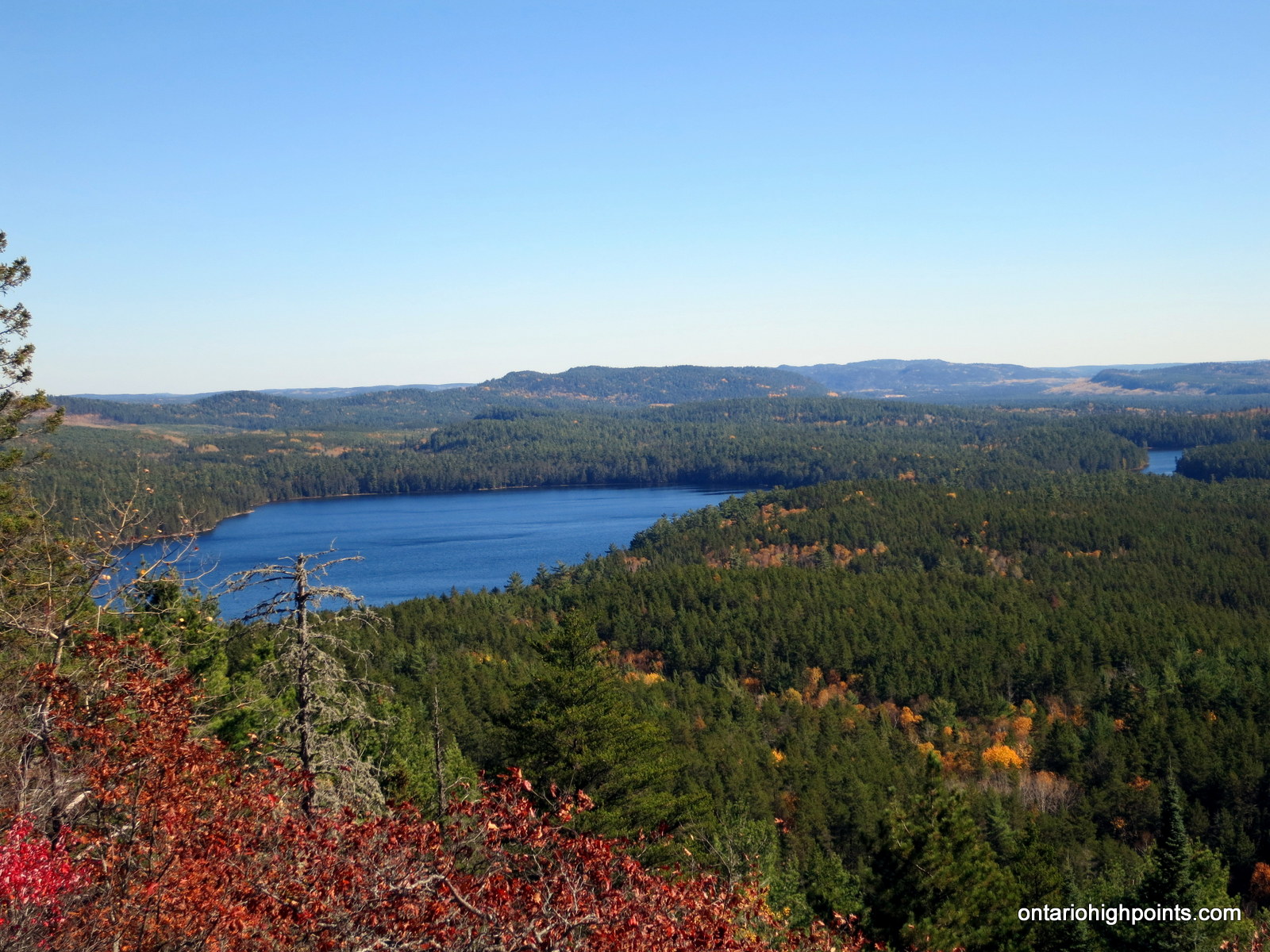
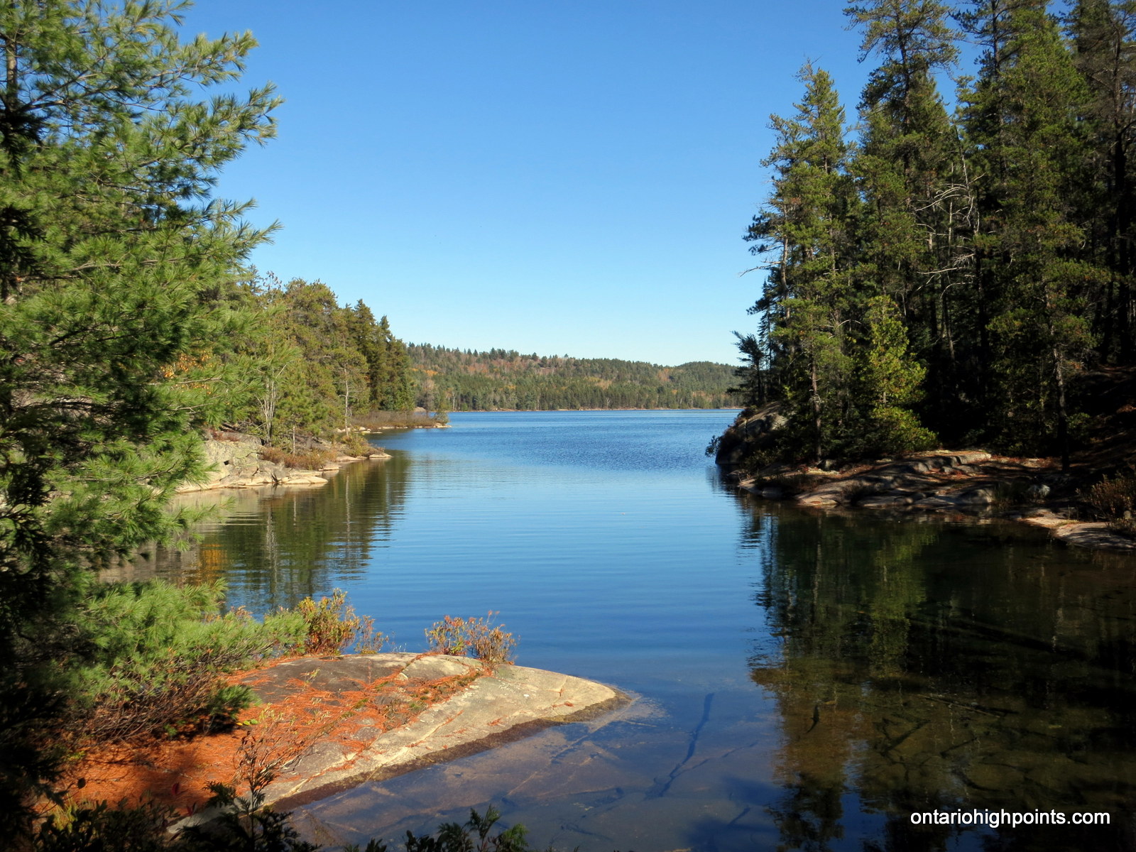
- View of Cobre Lake
-
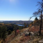
- View southeast
-
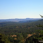
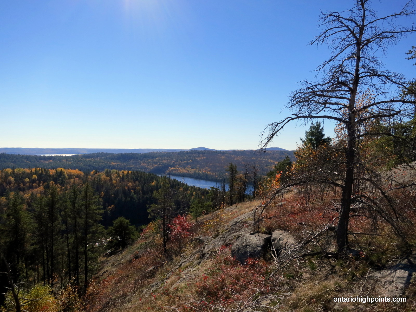
- View east towards the Rawhide Ridge
-
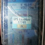
- GPS Elevation
-

- Summit of Mt. Belvedere
-
- East panoramic with lakes: Cobre, Blue Sky and Tenfish
-
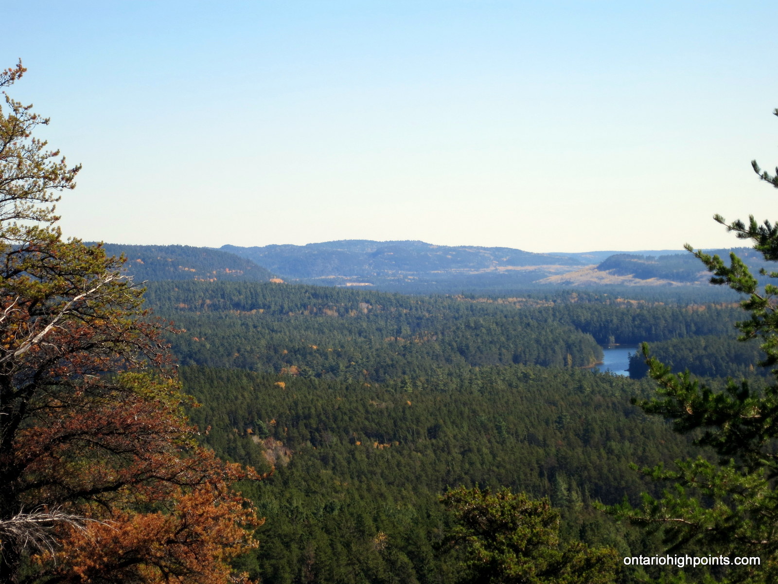
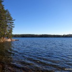
- Tenfish Lake
-
- View back towards Cobre Lake and Wilkie fire tower
-
- Pond on the way to Vasseau Lake
-
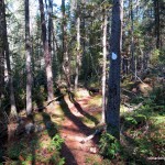
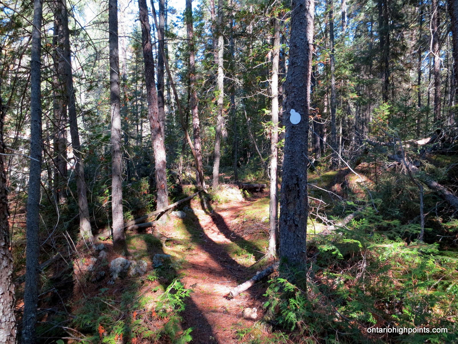
- Trail and marker
-
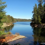
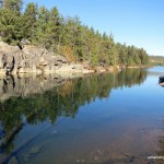
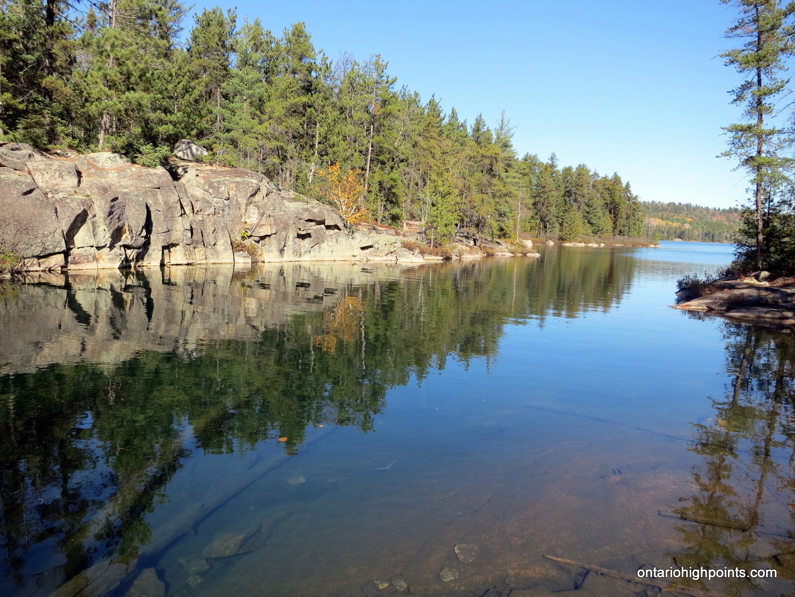
- The channel into Vasseau Lake
-
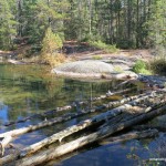
- The ‘bridge’ across the creek at Vasseau Lake
-
- Looking back across the Vasseau Lake channel
-

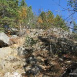
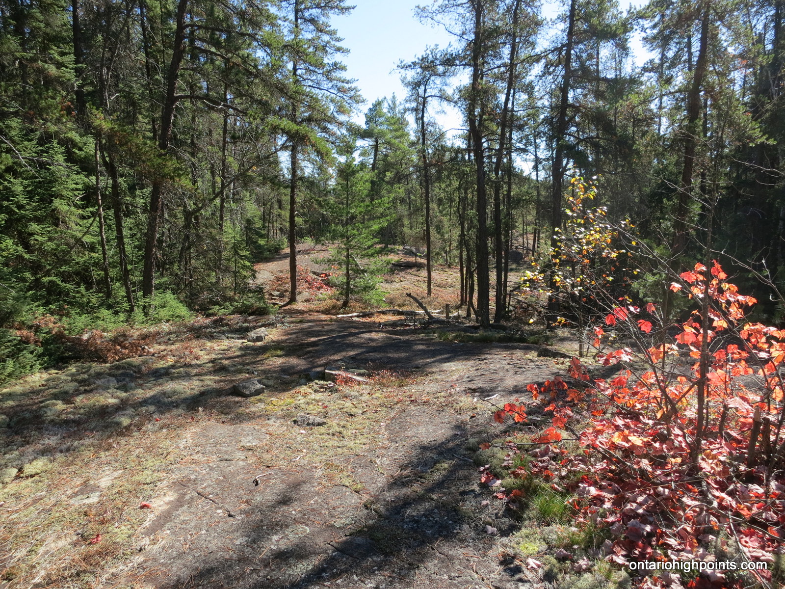
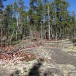
- Hiking across bare rock
-
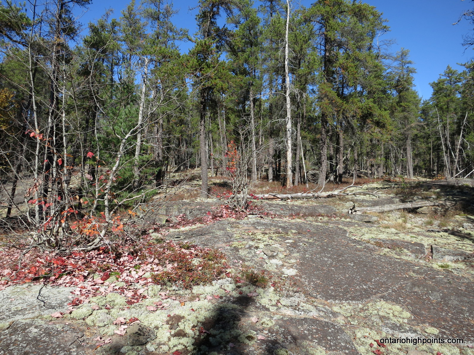
- Lichen on rocks with a jack pine stand in behind
-
- Arriving at the shore of Tenfish Lake
-
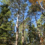
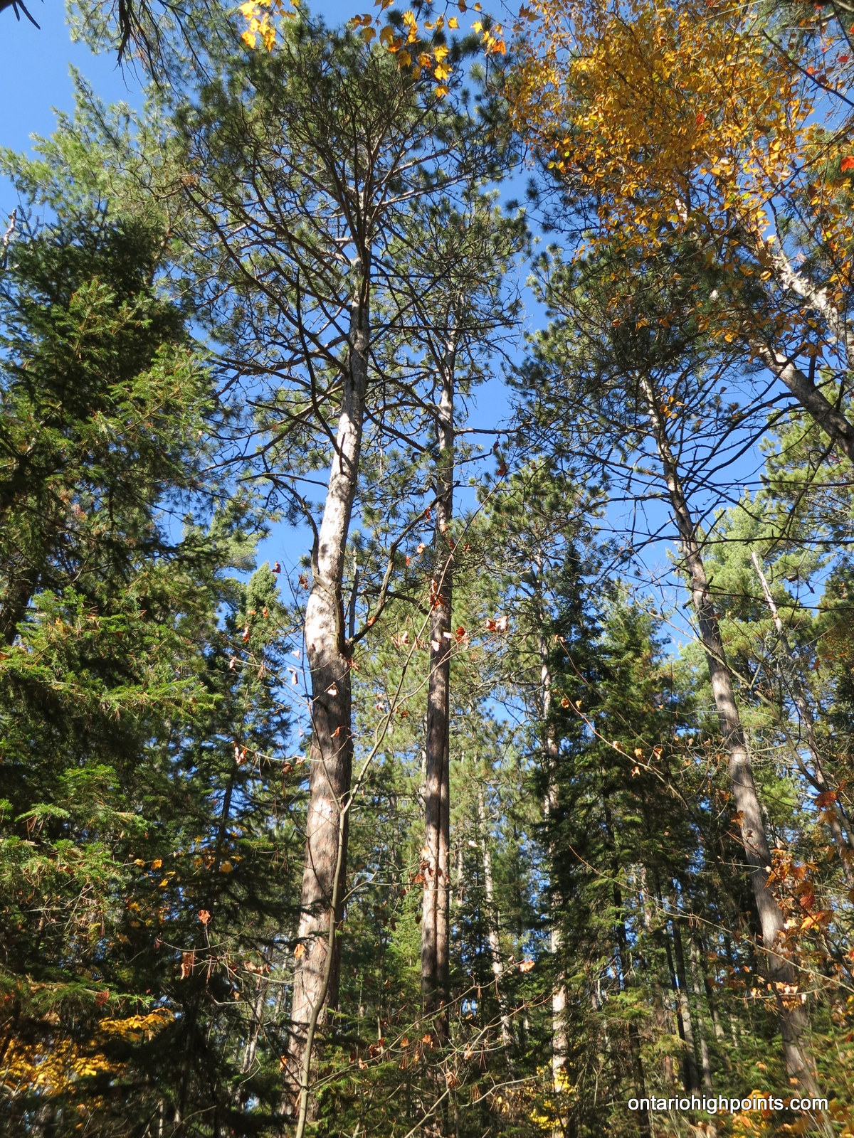
- Old growth red pine forest
-
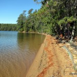
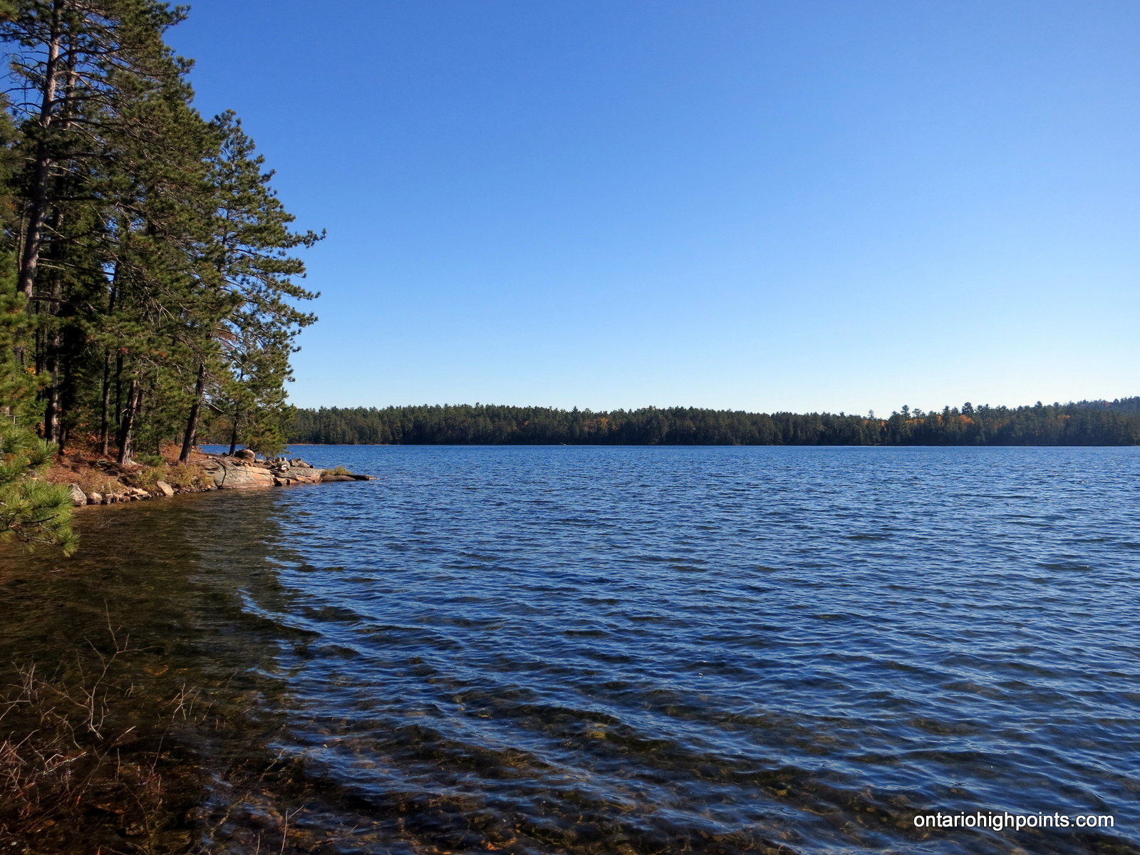
- Sand beach on the east shore of Tenfish Lake
-
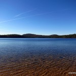
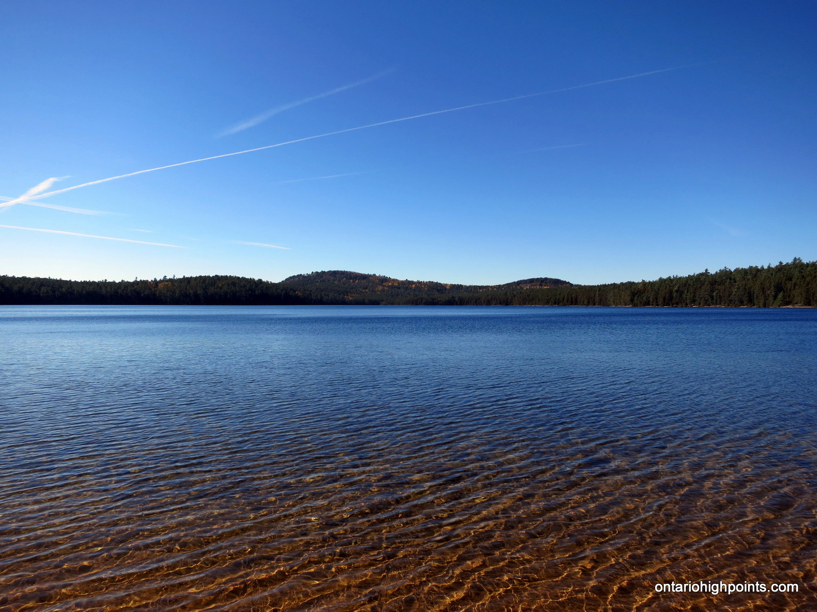
- View across Tenfish Lake with Mt. Belvedere
-

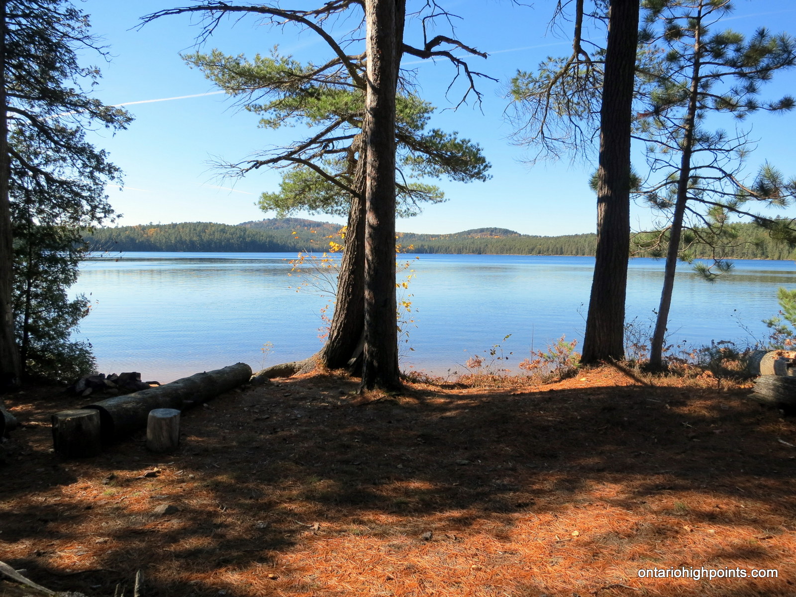
- ‘Campsite’ at the Tenfish Lake beach
-
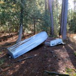
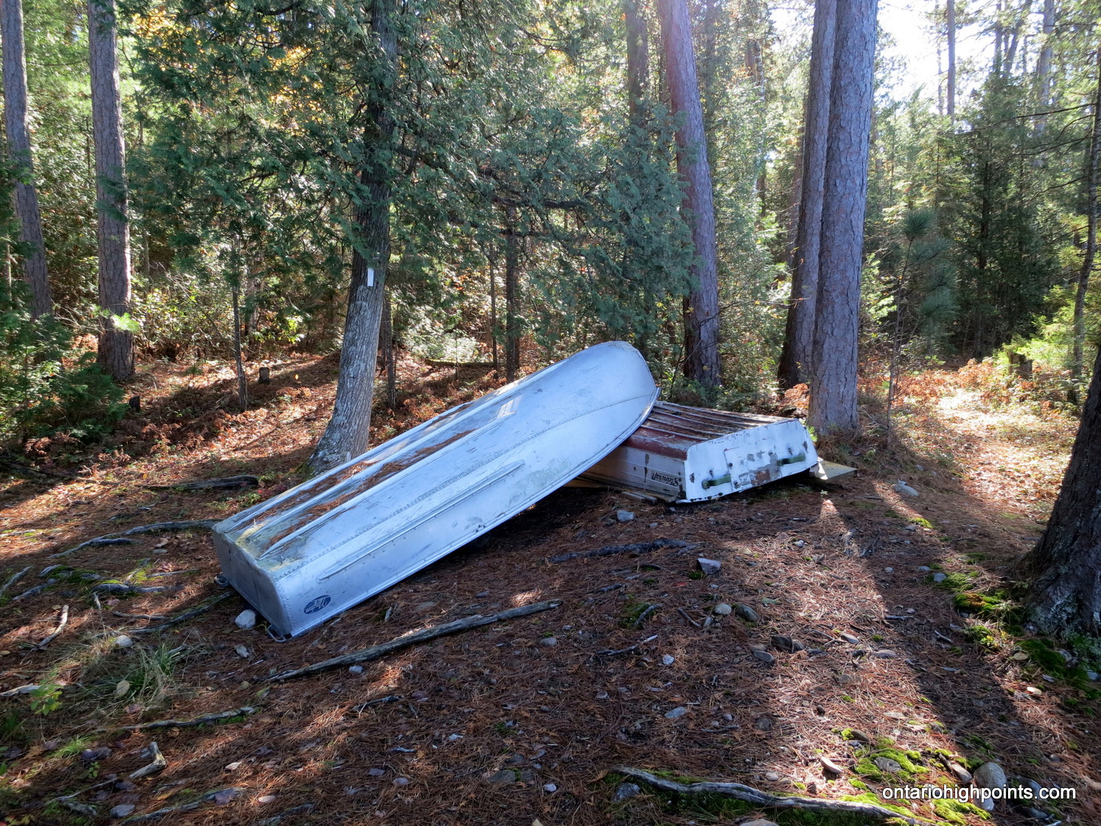
- Aluminum boats left beside the ‘campsite’
-
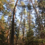
- Red pine forest canopy
-
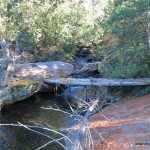
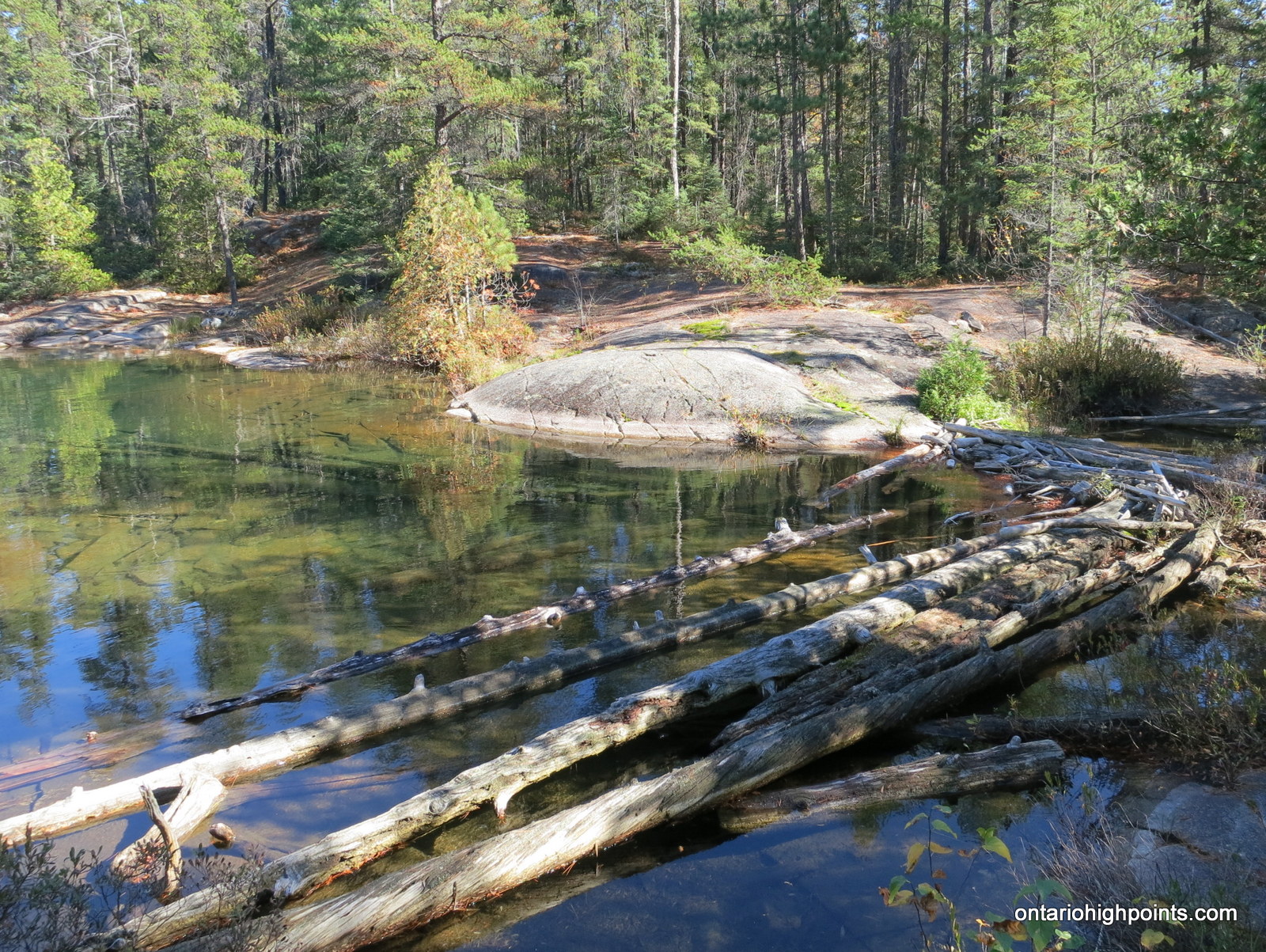
- Log ‘bridge’ crossing the creek near Blue Sky Lake
-

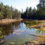
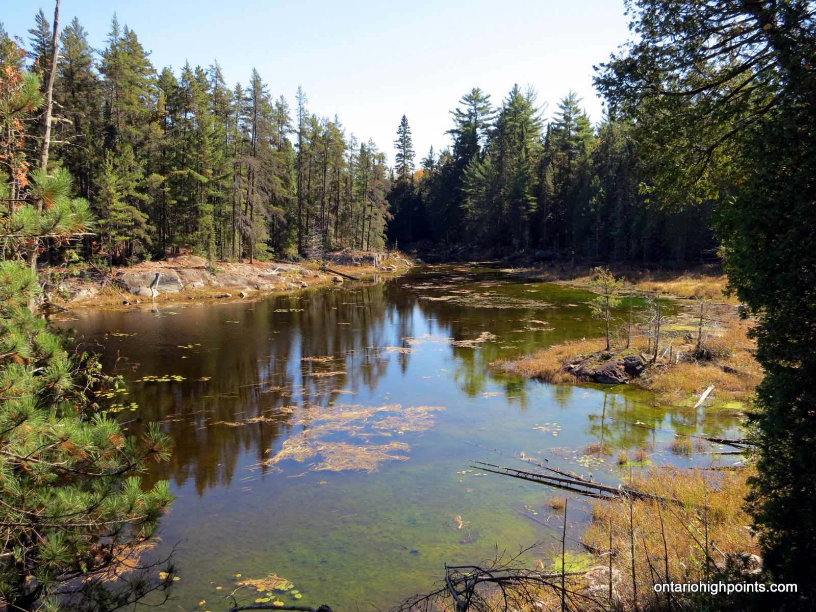
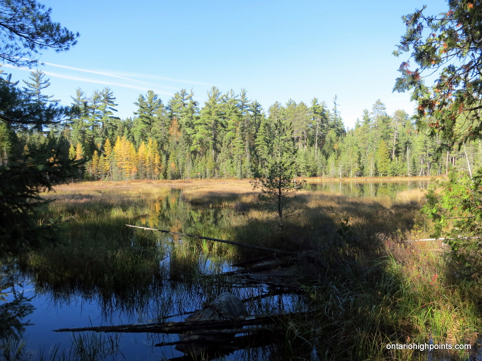
- Pond / wetlands near Blue Sky Lake
-
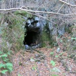
- Blue Sky Mine Adit
-
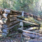
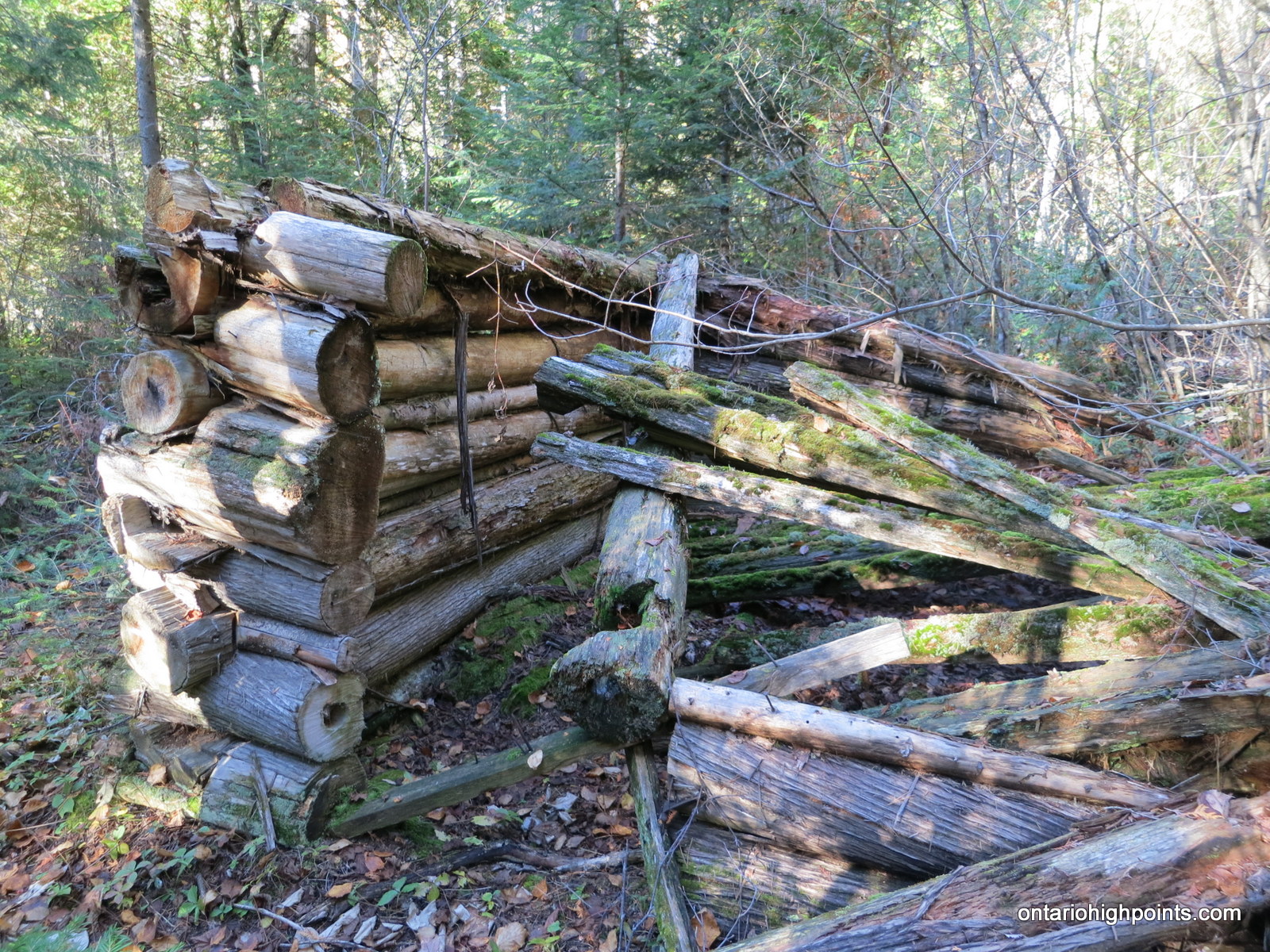
- Remains of trapper’s log cabin at east shore of Cobre Lake
GPS Track:
Mt. Belvedere / Cobre Lake Trail GPS Track (.gpx format)
Related Links:
Dan Weemhoff’s Cobre Lake Trail Photo Report
Coureurs de Bois Voyageur Trail Outdoors Club Cobre Lake Trip Report
Harvard /Blue Sky Mine information