Tip Top Mountain
Posted by Derek on Jul 28, 2023
Ontario 2100 Footer Rank: 20
Height: 2103 feet / 641 meters
Lat/Lon: N48.2734 W86.0037
Clean Prominence: 988 feet / 301 meters
Line Parent: Blackspruce Lake Peak
Key Col: N48 17.390 W83 57.048 (1115ft / 340m)
GPS recorded height: 2113 feet / 644 m
Date Summited: July 23, 2023
Description:
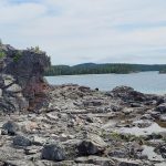
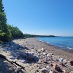
Tip Top Mountain is located in Pukaskwa National Park which is on the northeast shore of Lake Superior between Wawa and Marathon Ontario. Its summit is 641 m (2,103 ft) above sea level and 457 m (1,500 ft) above Lake Superior. It lies north of the Swallow River, about 10 km inland from Pukaskwa’s Coastal Trail and Lake Superior. Before 1966, Tip Top Mountain was considered the highest point in Ontario.
Overview/Directions:
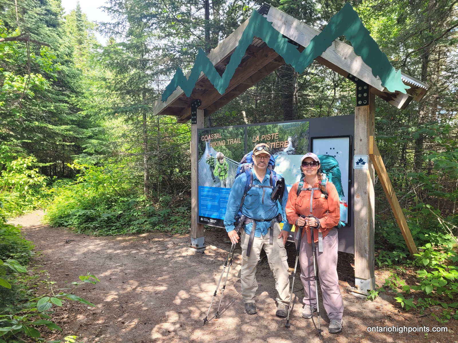
The only route into Pukaskwa National Park is via Hwy 627 which departs the TransCanada Hwy/Hwy 17 a few kilometers south of Marathon. The main front-country campground in Pukaskwa is called Hattie Cove, which is where you will need to register your entry into the park.
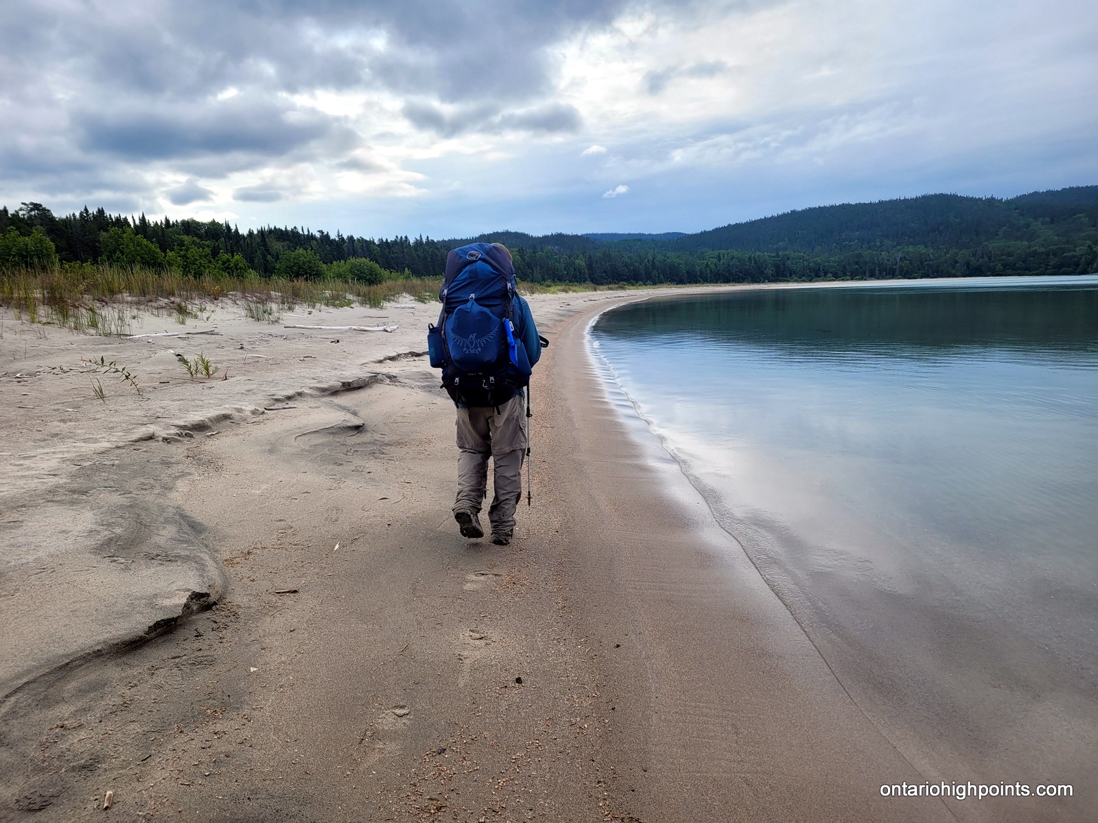
The only realistic approach to Tip Top Mountain is from the Pukaskwa Coastal Trail/Lake Superior coast. One can combine the hike to Tip Top Mountain with a multiday backpacking trip along the Coastal Trail from the Hattie Cove campground, or instead use the water shuttle services provided by North Shore Adventures. For our trip we multiday backpacked from Hattie Cove to the White Gravel River. There are various campsites along the trail (some are a bit off of the trail) — all of which need to be booked. We camped at Hook Falls, Fish Harbour and Fisherman’s Cove before arriving at White Gravel River.
At the White Gravel River, we departed the Coastal Trail and followed the river for 1.3 km and then turned onto a tributary (creek) of the river and followed it for 9.1 km. The White Gravel River is considered a spring river, which has significant water flow in the spring, but little more than a trickle in the summer. After navigating around a series of ponds, we departed the White Gravel River tributary and bushwhacked overland for 1.5 km to a large beaver pond where we made camp. From that camp we spent a day bushwhacking to and from Tip Top Mountain (5.5 km each way). We returned via the same route back to the Coastal Trail, and then opted to take the water shuttle which picked us up from White Spruce Harbour (which is about 3 km south of White Gravel River) and dropped us off at Hattie Cove.
View a larger version of the map
Trip Summary:
Day 1 – July 18, 2023
9.7 km- Hattie Cove to Hook Falls (HF1)
4:06 PM – 7:40 PM, 3h 33m (moving time: 3h 0m)
Total Ascent: 243m / Total Descent: 232m
Day 2 – July 19, 2023
17.6 km – Hook Falls (HF1) to Fish Harbour (FH1)
7:38 AM – 3:58 PM, 8h 20m (moving time: 5h 48m)
Total Ascent: 470m / Total Descent: 518m
Day 3 – July 20, 2023
13.6 km – Fish Harbour (FH1) to Fisherman’s Cove (FC2)
8:08 AM – 2:51 PM, 6h 45m (moving time: 4h 31m)
Total Ascent: 350m / Total Descent: 394m
Day 4 – July 21, 2023
7.7 km – Fisherman’s Cove (FC2) to White Gravel River (WGR3)
7:24 AM – 10:40 AM, 3h 16m (moving time: 2h 37m)
Total Ascent: 283m / Total Descent: 306m
5.7 km – Recon day hike up the White Gravel River
12:10 PM – 2:48 PM, 2h 37m (moving time: 2h 3m)
Day 5 – July 22, 2023
12.5 km – White Gravel River (WGR3) to Beaver Pond Camp
7:06 AM – 4:21 PM, 8h 14m (moving time: 5h 38m)
Total Ascent: 365m / Total Descent: 89m
Day 6 – July 23, 2023
11.3 km – Bushwhack to Tip Top Mountain with return to Beaver Pond Camp
7:17 AM – 2:40 PM, 7h 23m (moving time: 4h 58m)
(Arrived at summit of Tip Top Mountain at 10:34 AM)
Total Ascent: 418m / Total Descent: 436m
Day 7 – July 24, 2023
12.5 km – Beaver Pond Camp to White Gravel River (WGR3)
7:15 AM – 5:09 PM, 9h 54m (moving time: 5h 36m)
Total Ascent: 60m / Total Descent: 366m
Day 8 – July 25, 2023
3.2 km – White Gravel River (WGR3) to White Spruce Harbour (WSH1)
10:11 AM – 11:34 AM, 1h 23m (moving time: 0h 59m)
Total Ascent: 40m / Total Descent: 57m
Day 9 – July 26, 2023
White Spruce Harbour (WSH1) to Hattie Cover via Water Shuttle
Trip Report:
Day 1 – July 18, 2023 – Hattie Cove to Hook Falls (HF1):
9.7 km- Hattie Cove to Hook Falls (HF1)
4:06 PM – 7:40 PM, 3h 33m (moving time: 3h 0m)
Total Ascent: 243m / Total Descent: 232m
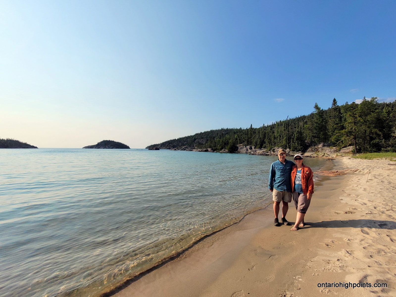
After driving for 9 hours from Sudbury, Val and I arrived at the registration office/front gate of Pukaskwa National Park. We checked in, parked the van, finished an early sub supper we picked up in Wawa and then suited up for our hike. We departed the parking lot and began our backpacking journey just after 4 PM.
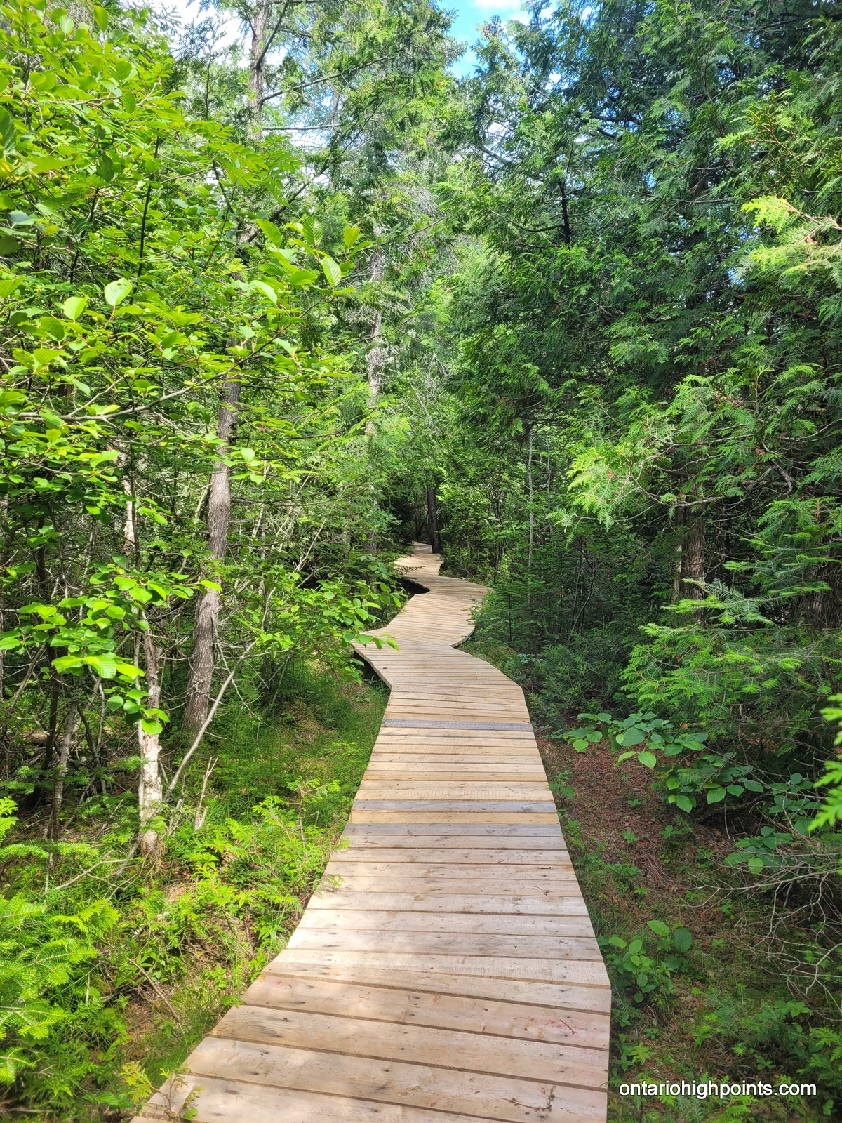
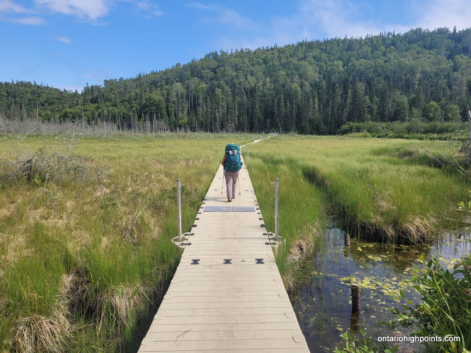
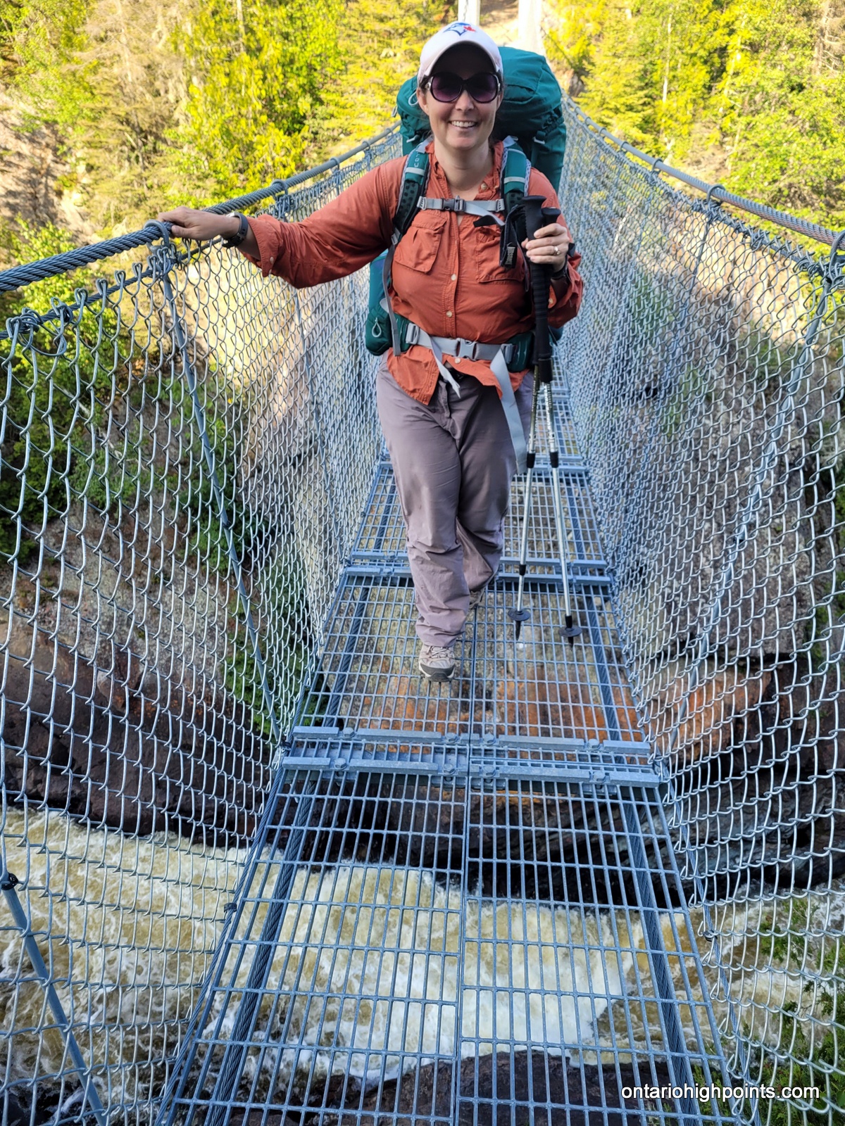
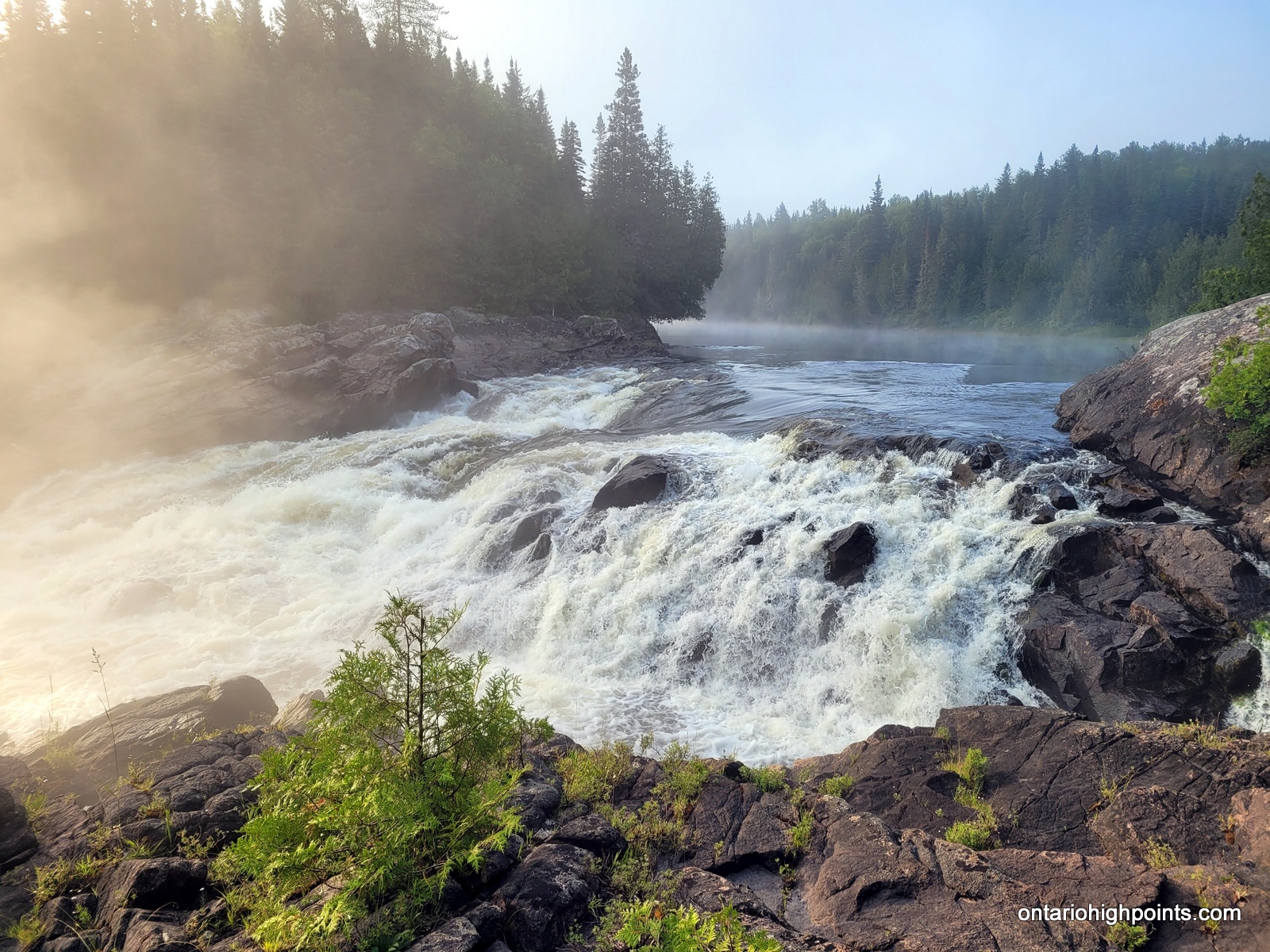
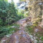
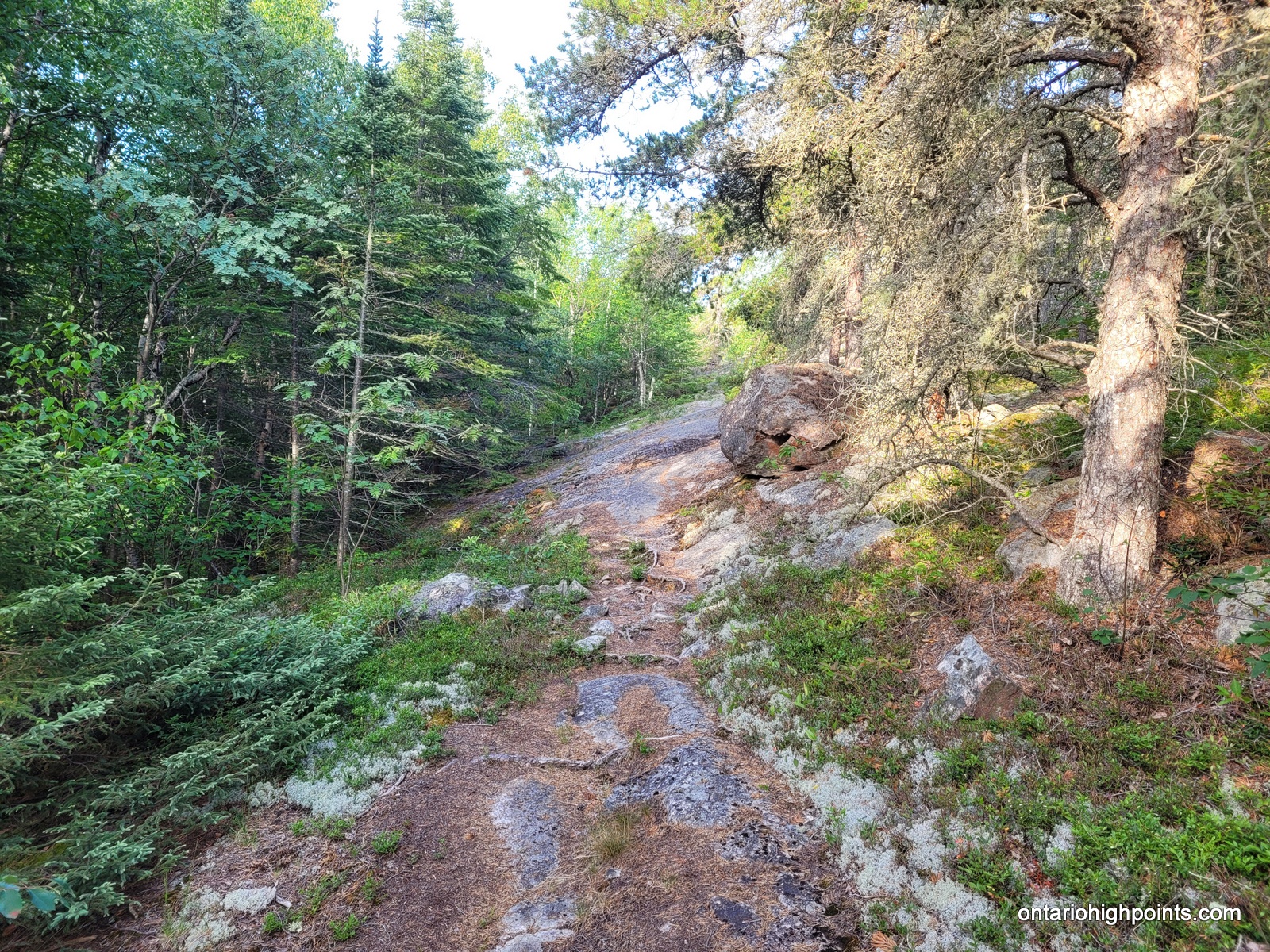
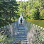
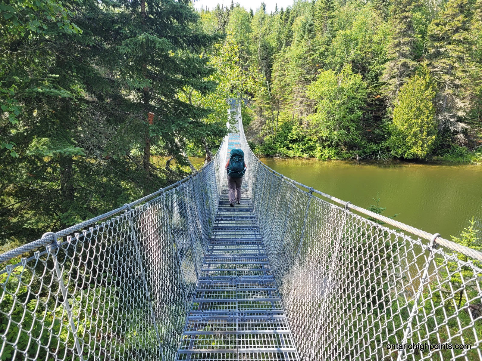
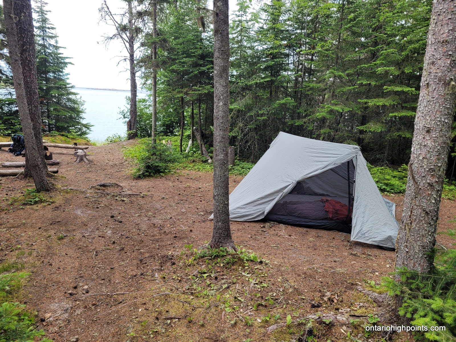
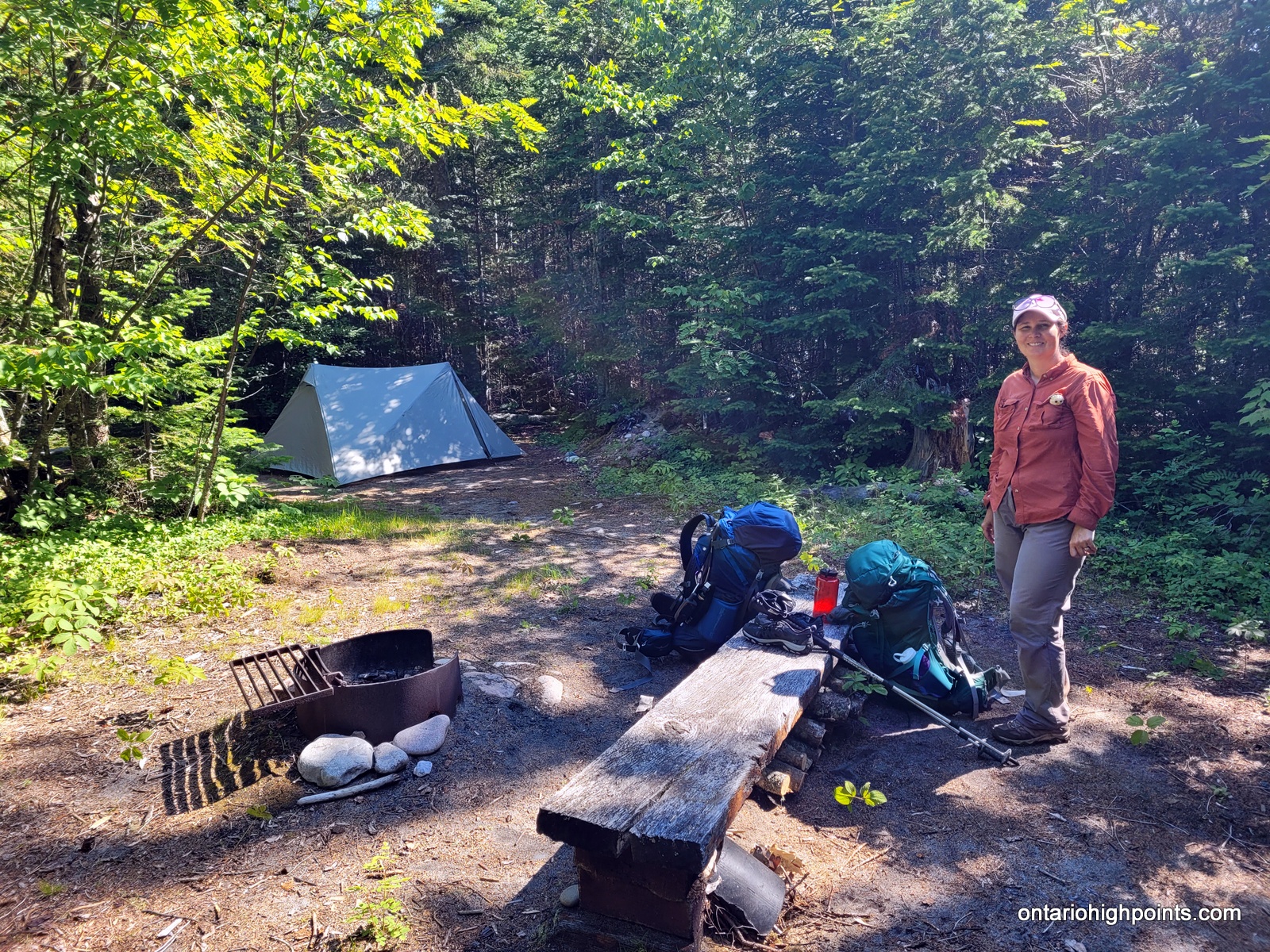
The section of the Coastal Trail immediately south of Hattie Cove was clear and pretty easy to follow. We walked across a marshland over a floating boardwalk, over the impressive White River along a cable suspension bridge, and then paralleled the White River to our campsite: HF1, arriving at about 7:30 PM. The site has easy access to water and 2 good tent pads. There was lots of seating around a fire pit, but we stayed at the rocky area at the water’s edge as there was a breeze that kept the mosquitos away.
-
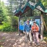
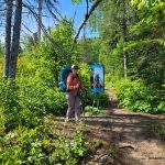
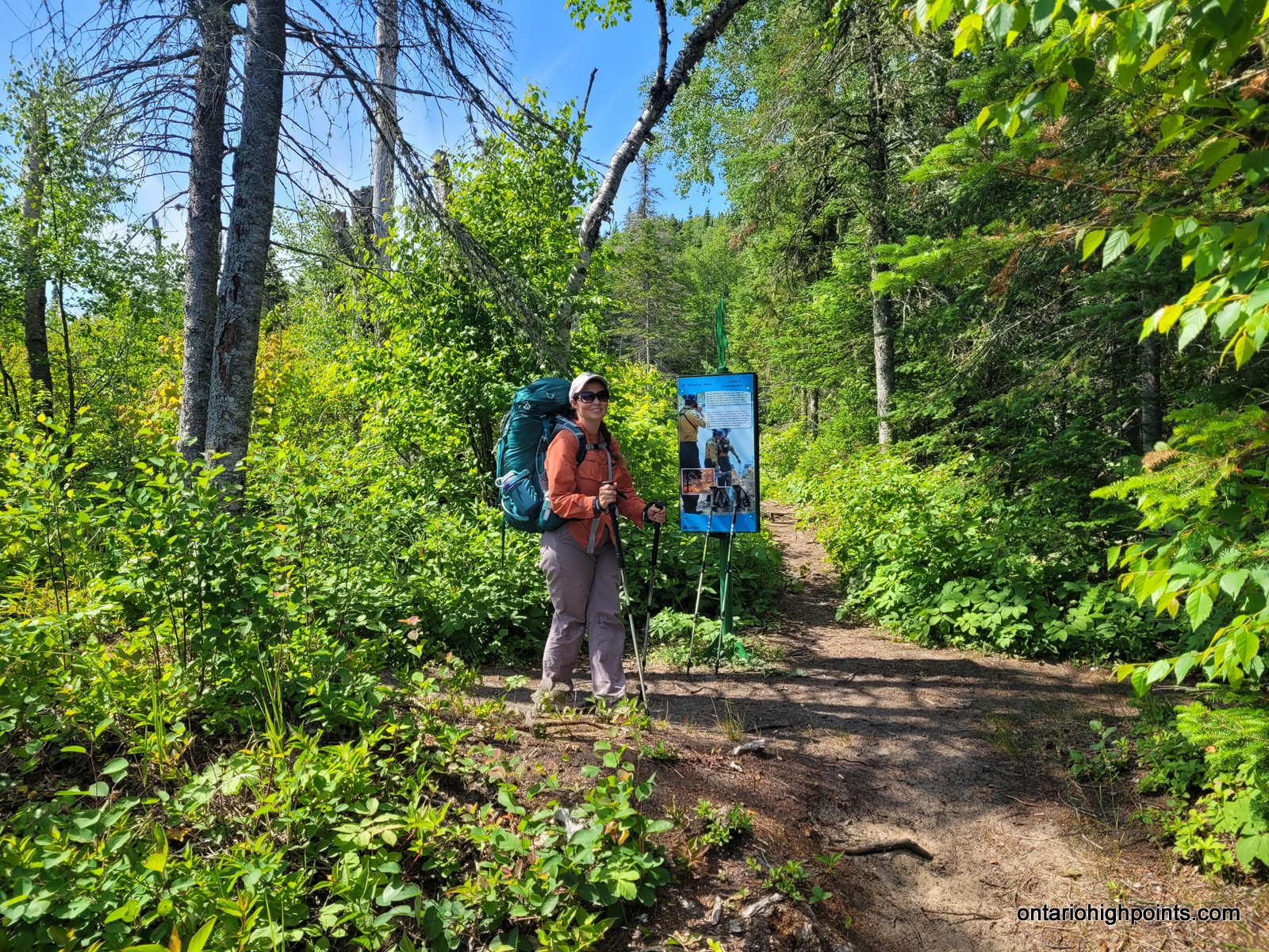
- Pukaskwa Coastal Trail Trailhead
-
- Hattie Cove
-
- Prescribed fire sign
-
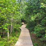
- Trail boardwalk
-
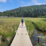
- Marsh crossing
-
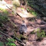
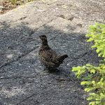
- A Grouse
-
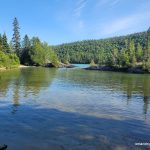
- Playter Harbour
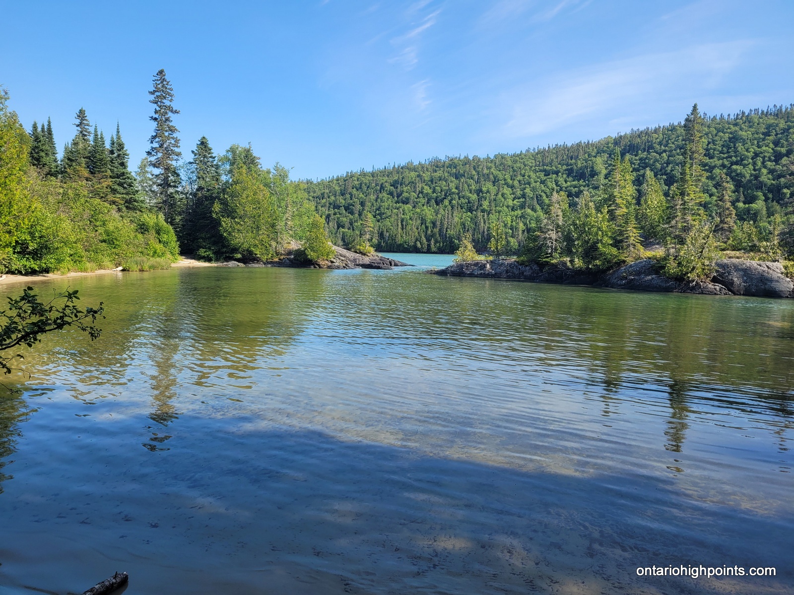
-
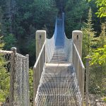
- White River Bridge
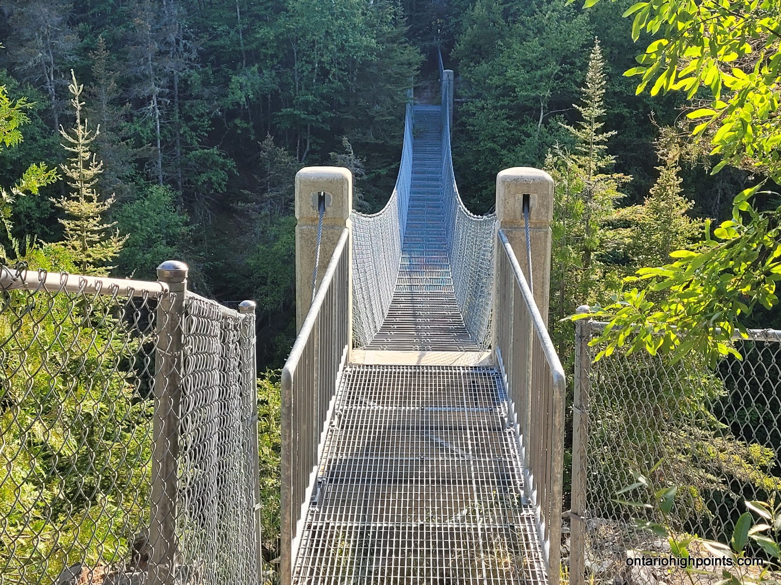
-
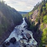
- White River Gorge – Downstream
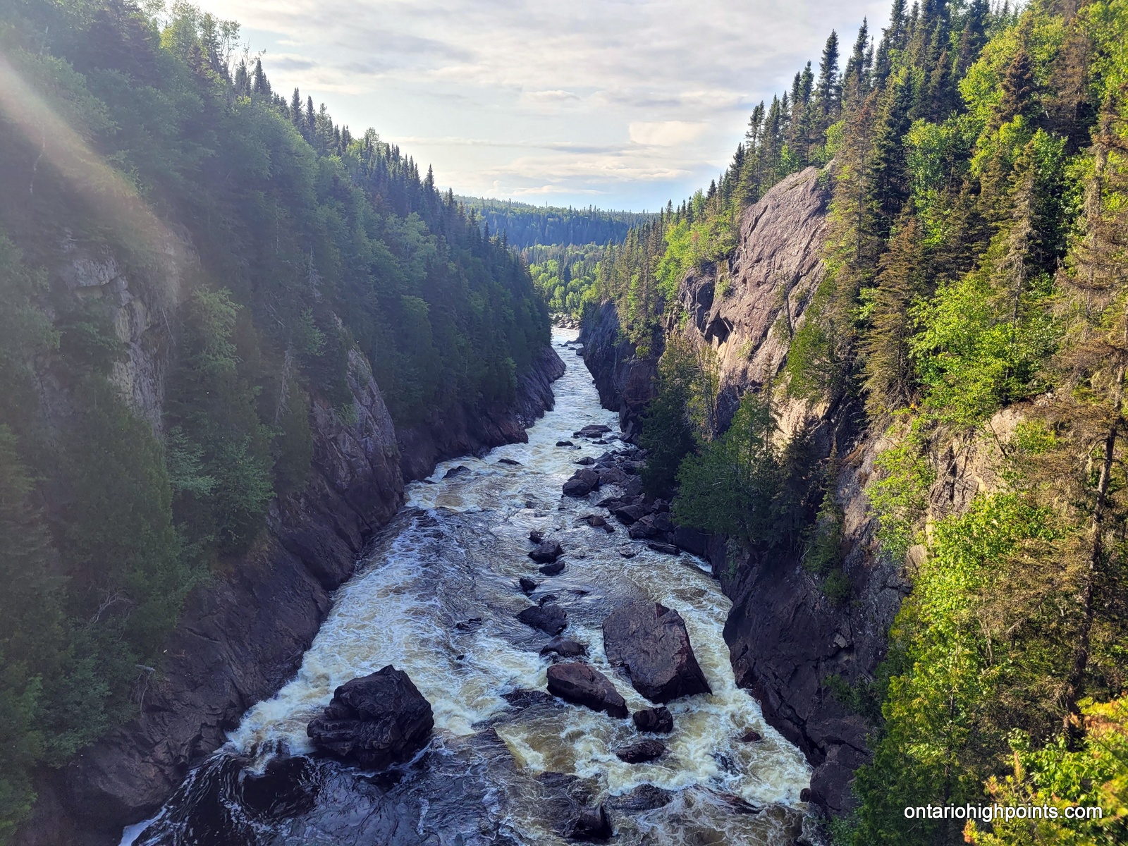
-
- White River Gorge – Upstream
-
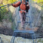
- Standing on the White River Bridge
-
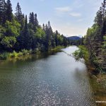
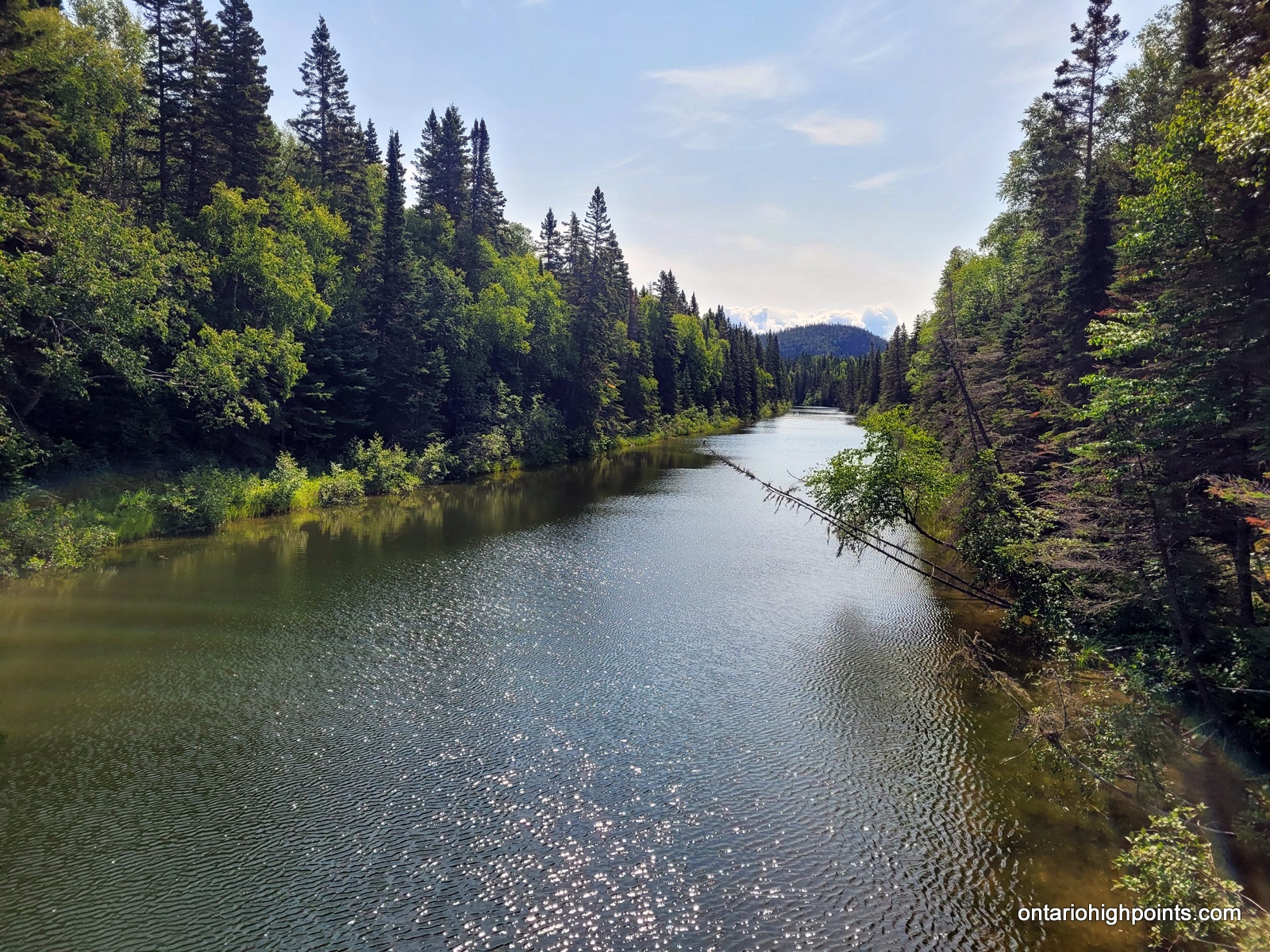
- White River
-
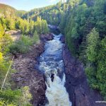
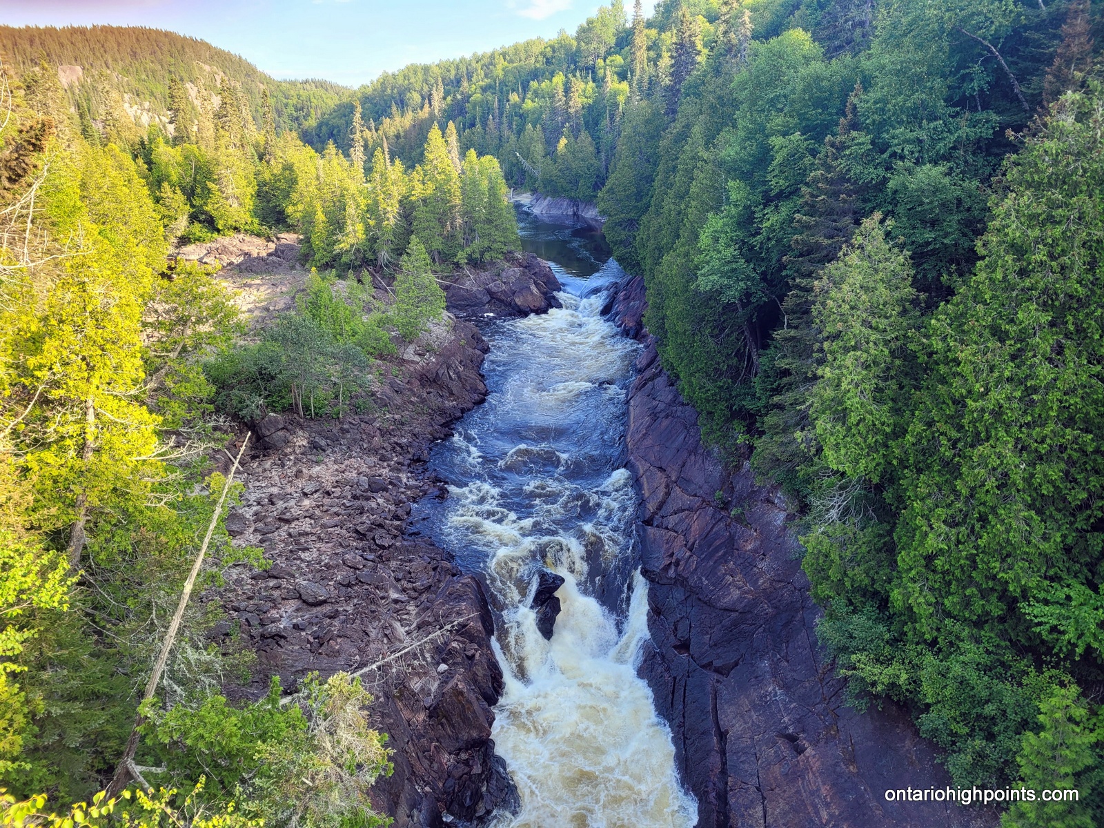
- Falls on the White River
-
- White River
-
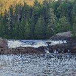
- Hook Falls
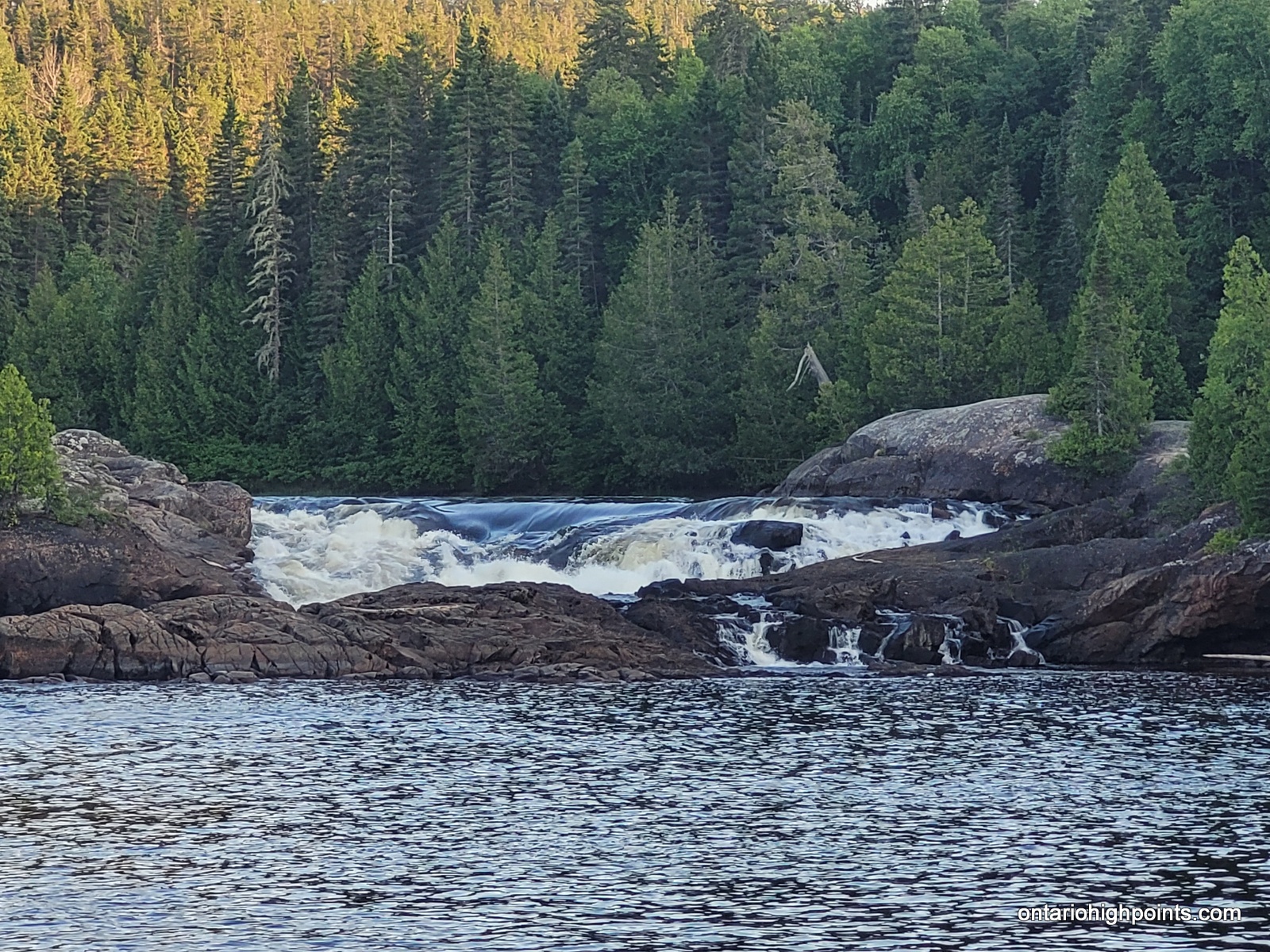
-
- Hook Falls 1 Campsite
Day 2 – July 19, 2023 – Hook Falls (HF1) to Fish Harbour (FH1):
17.6 km – Hook Falls (HF1) to Fish Harbour (FH1)
7:38 AM – 3:58 PM, 8h 20m (moving time: 5h 48m)
Total Ascent: 470m / Total Descent: 518m
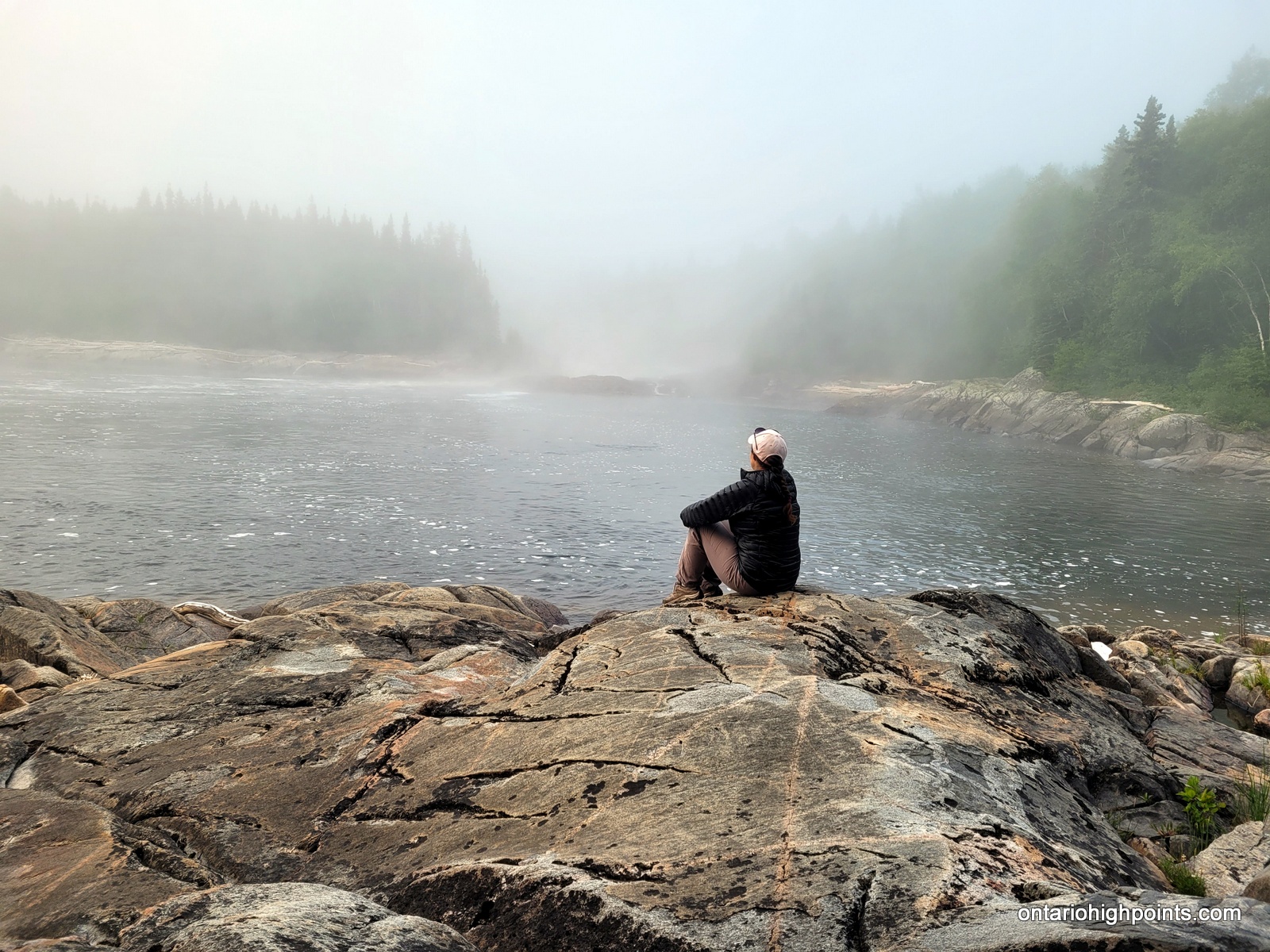
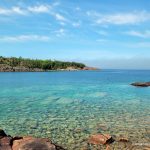
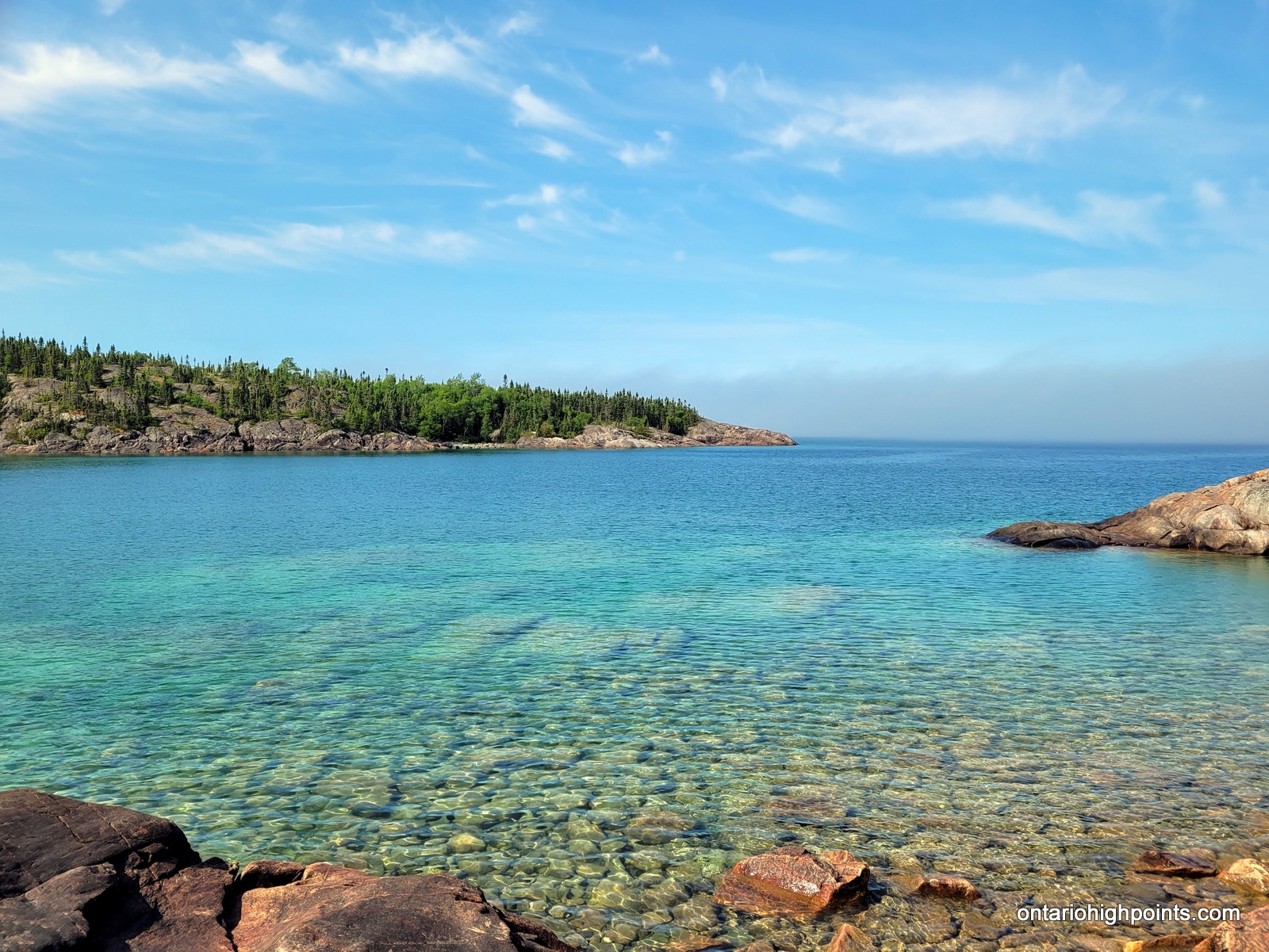
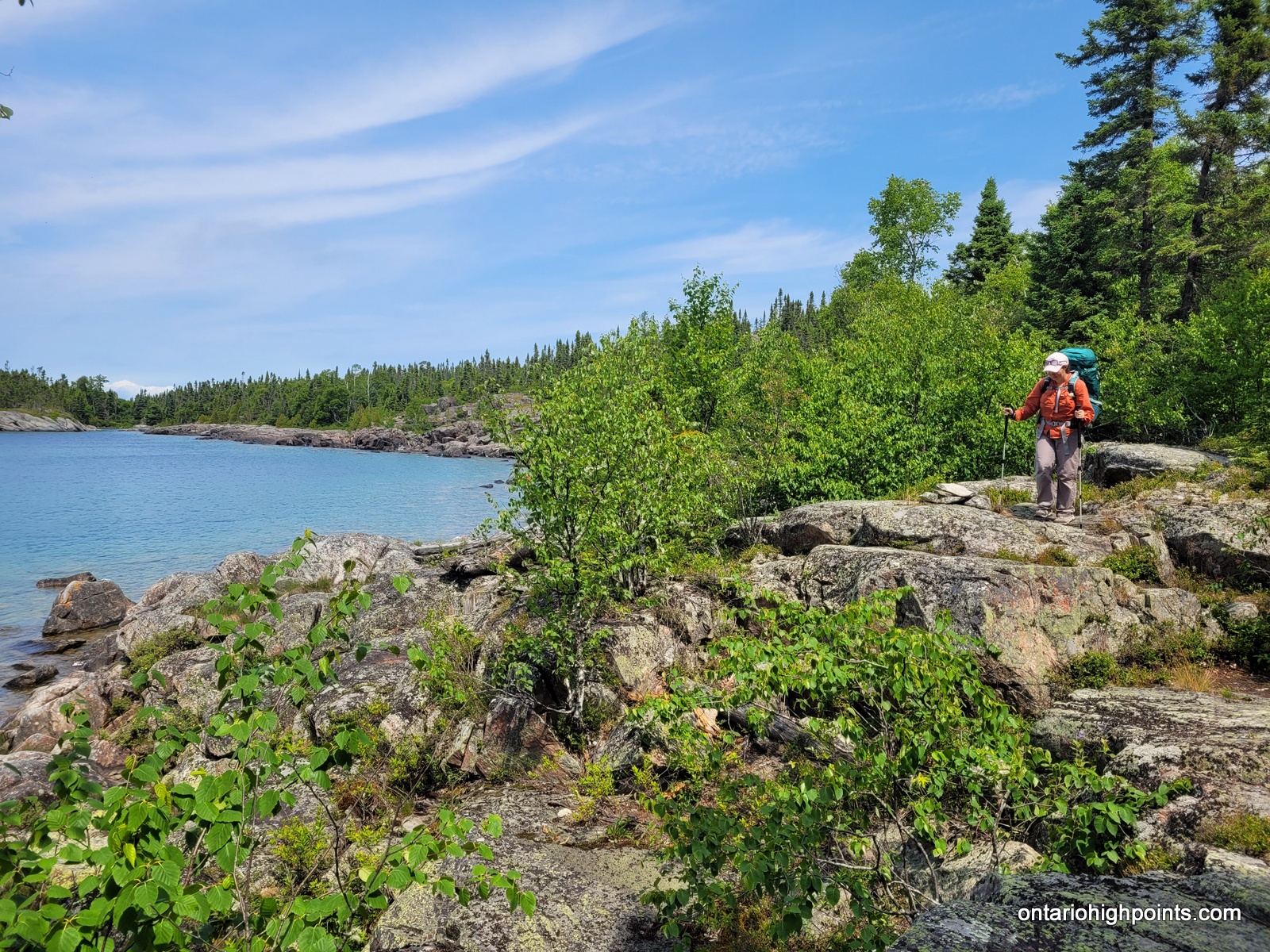
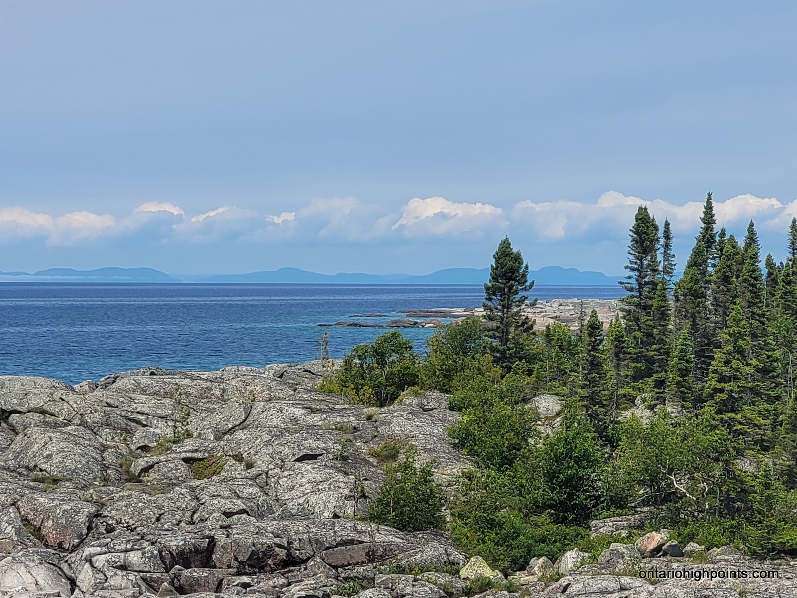
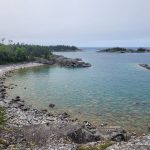
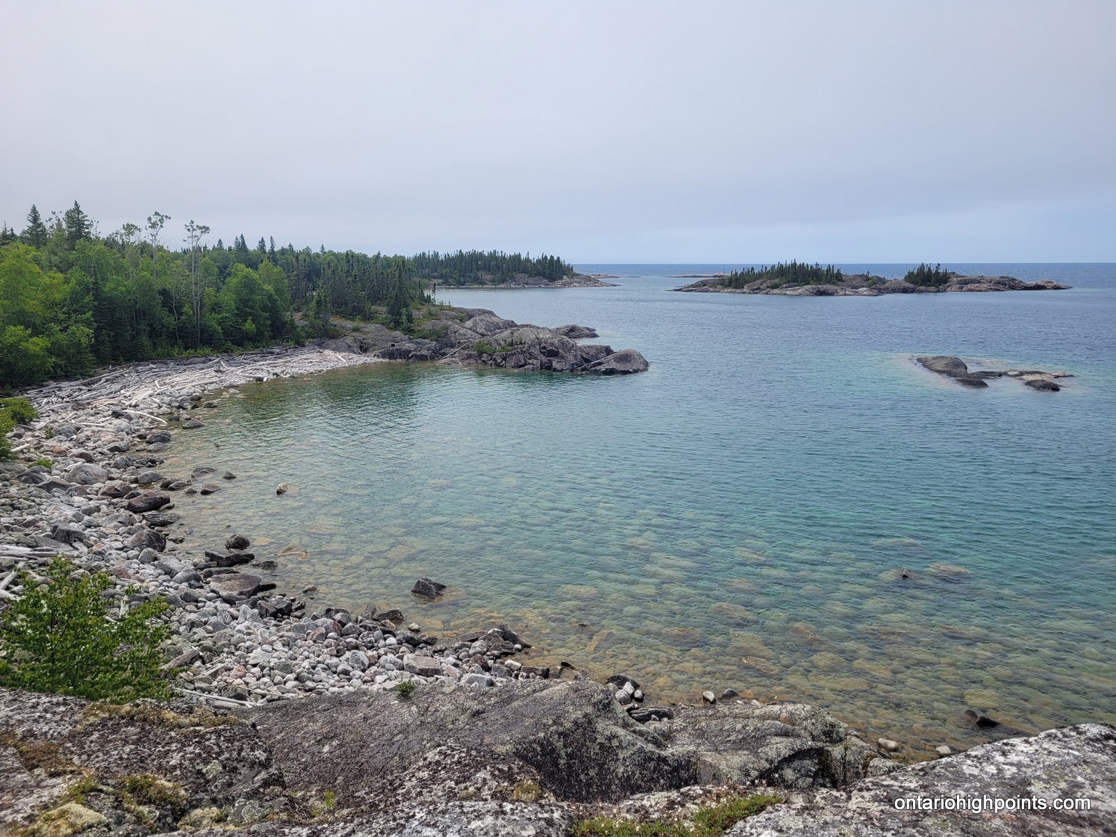
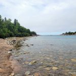
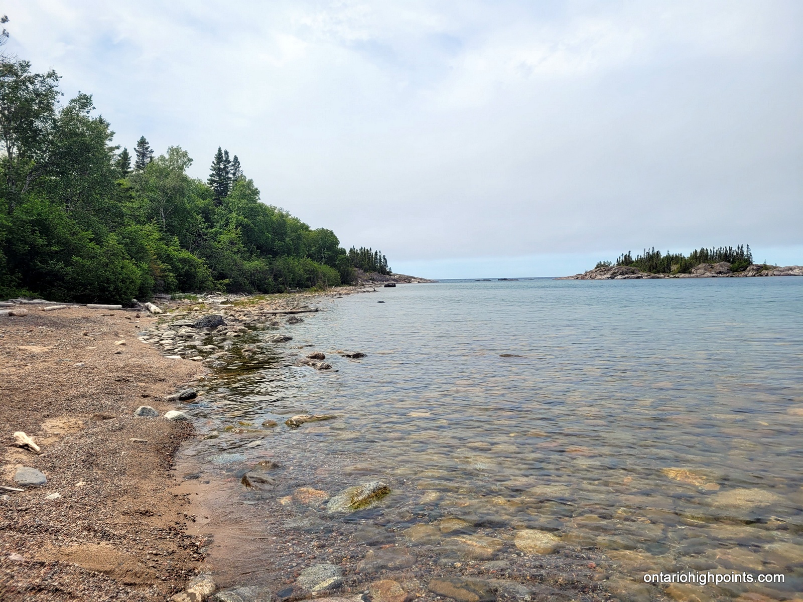
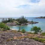
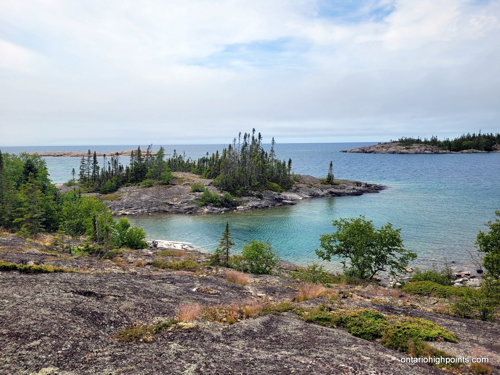
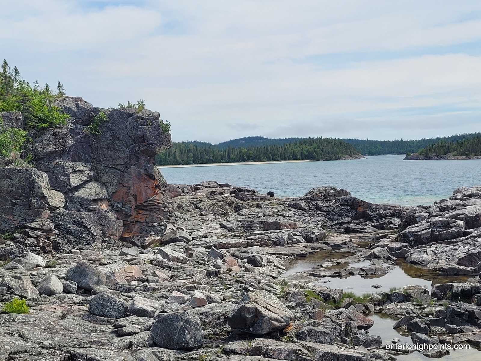
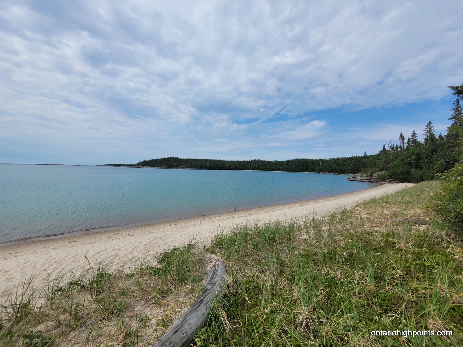
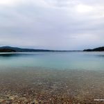
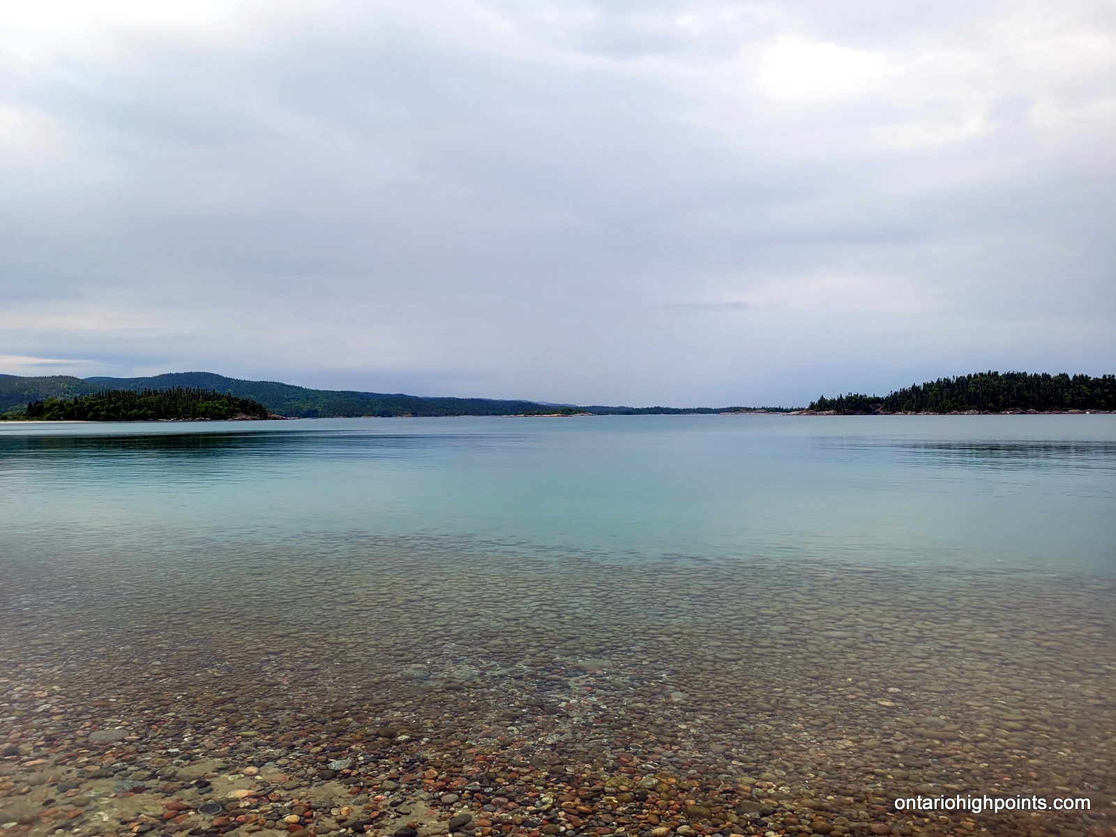
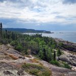
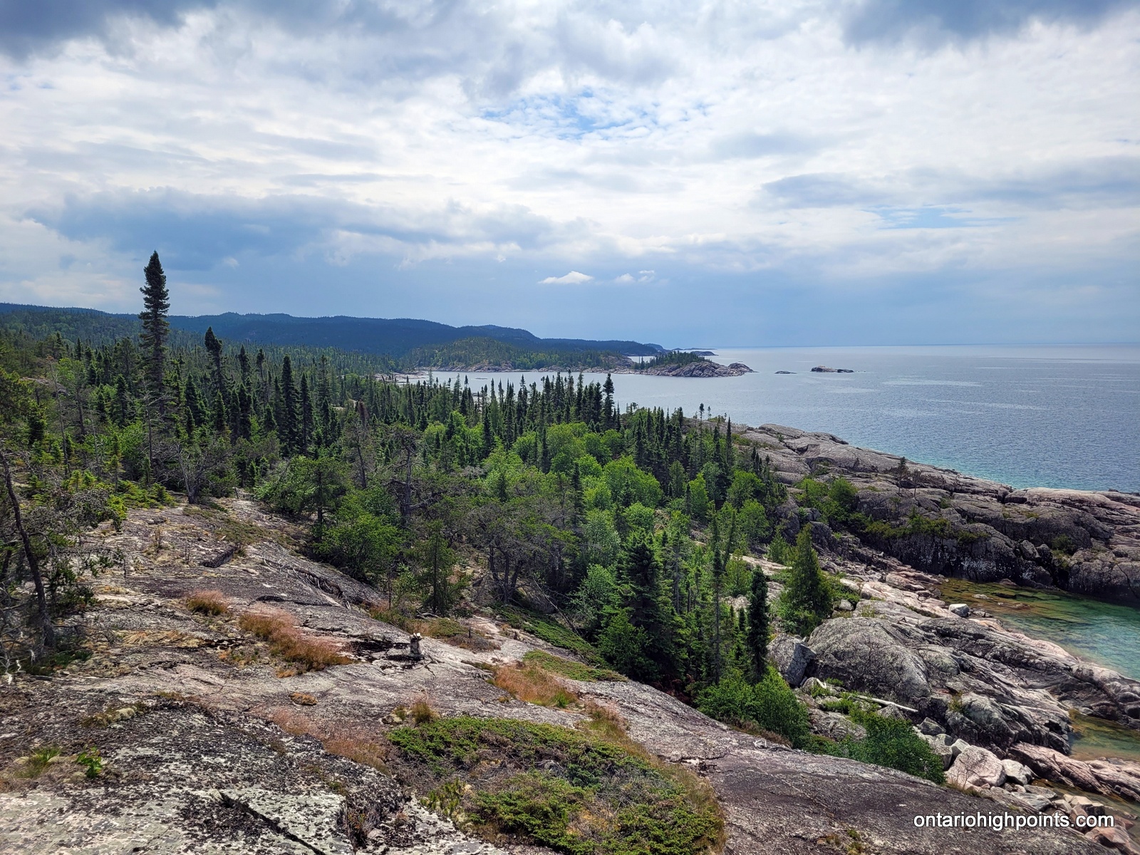
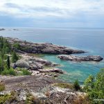
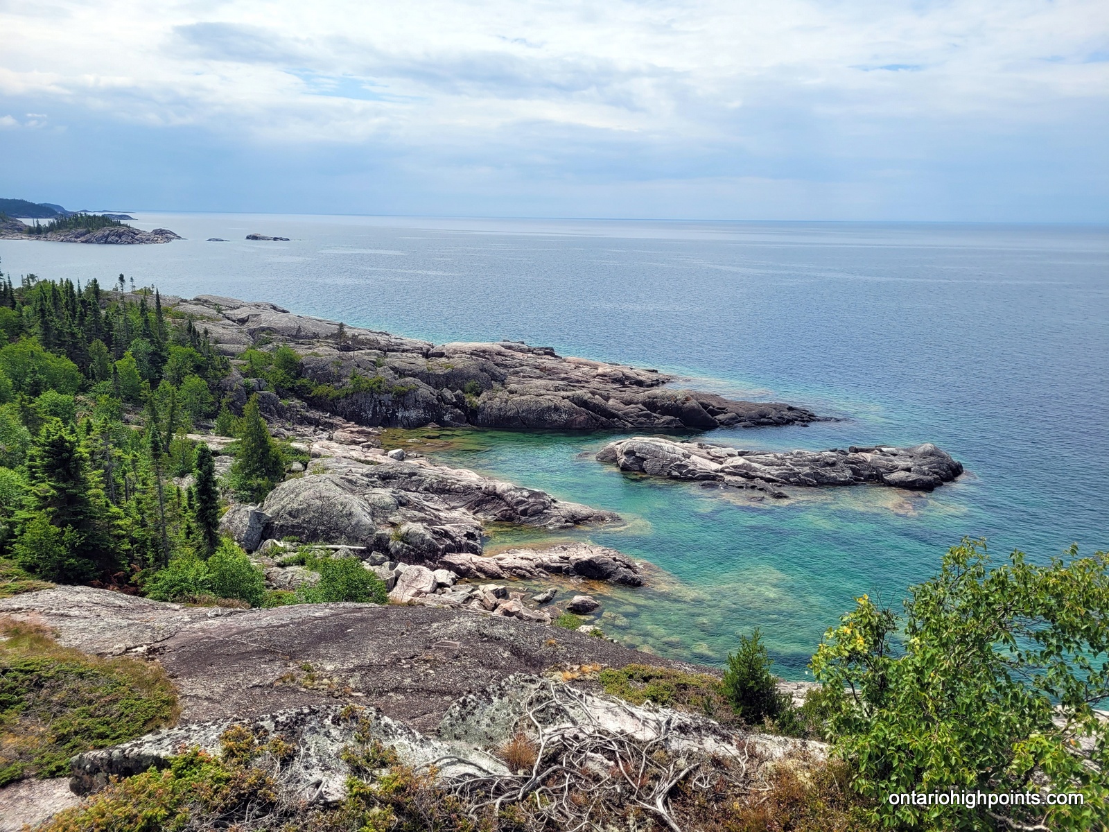
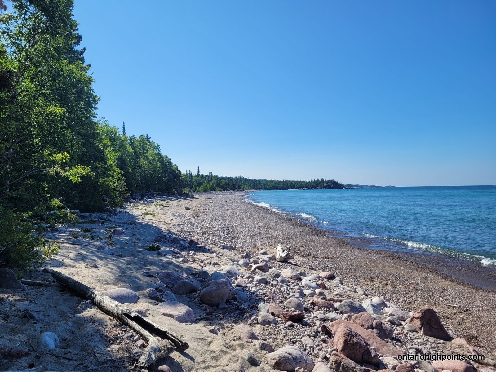
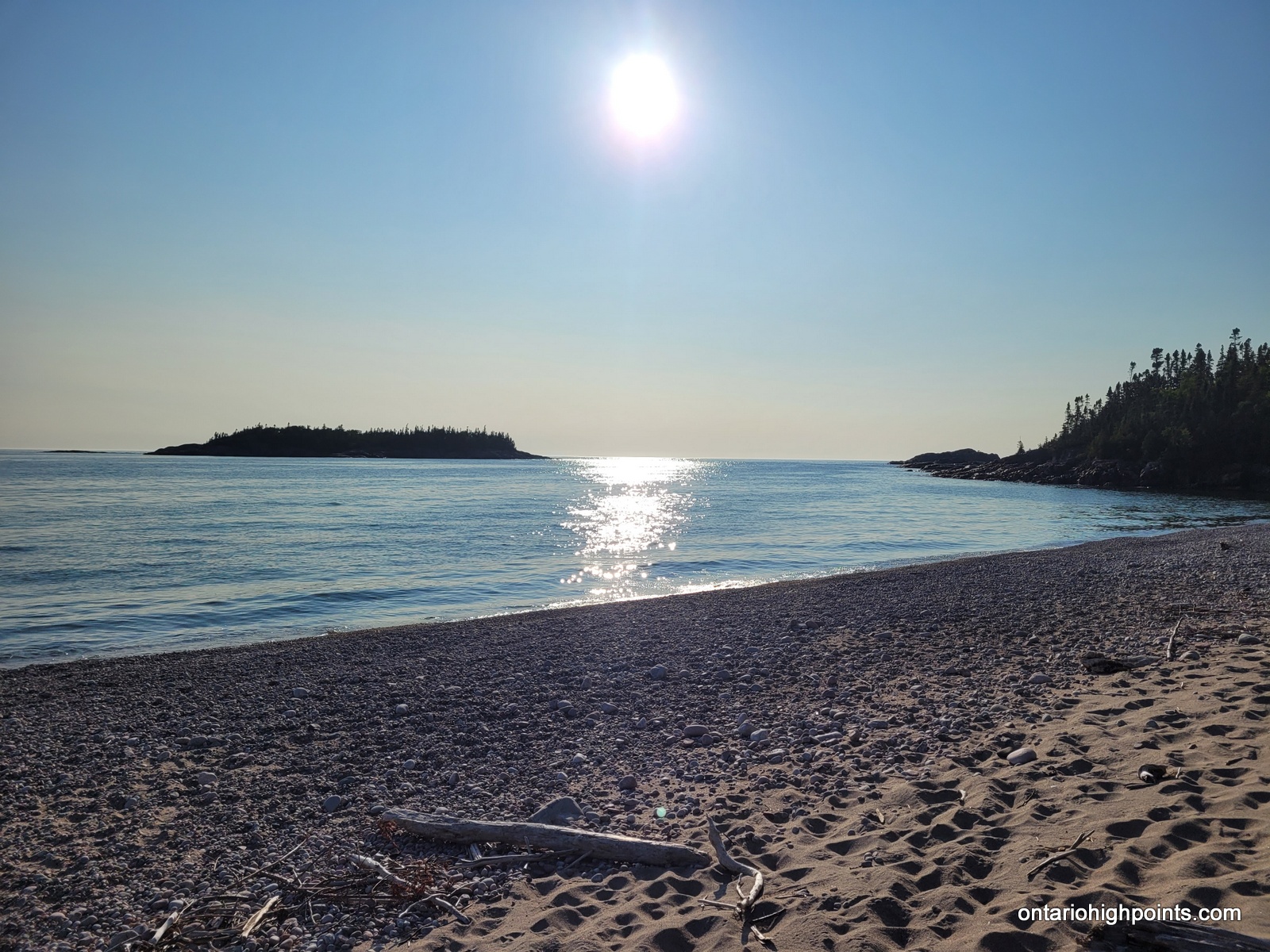
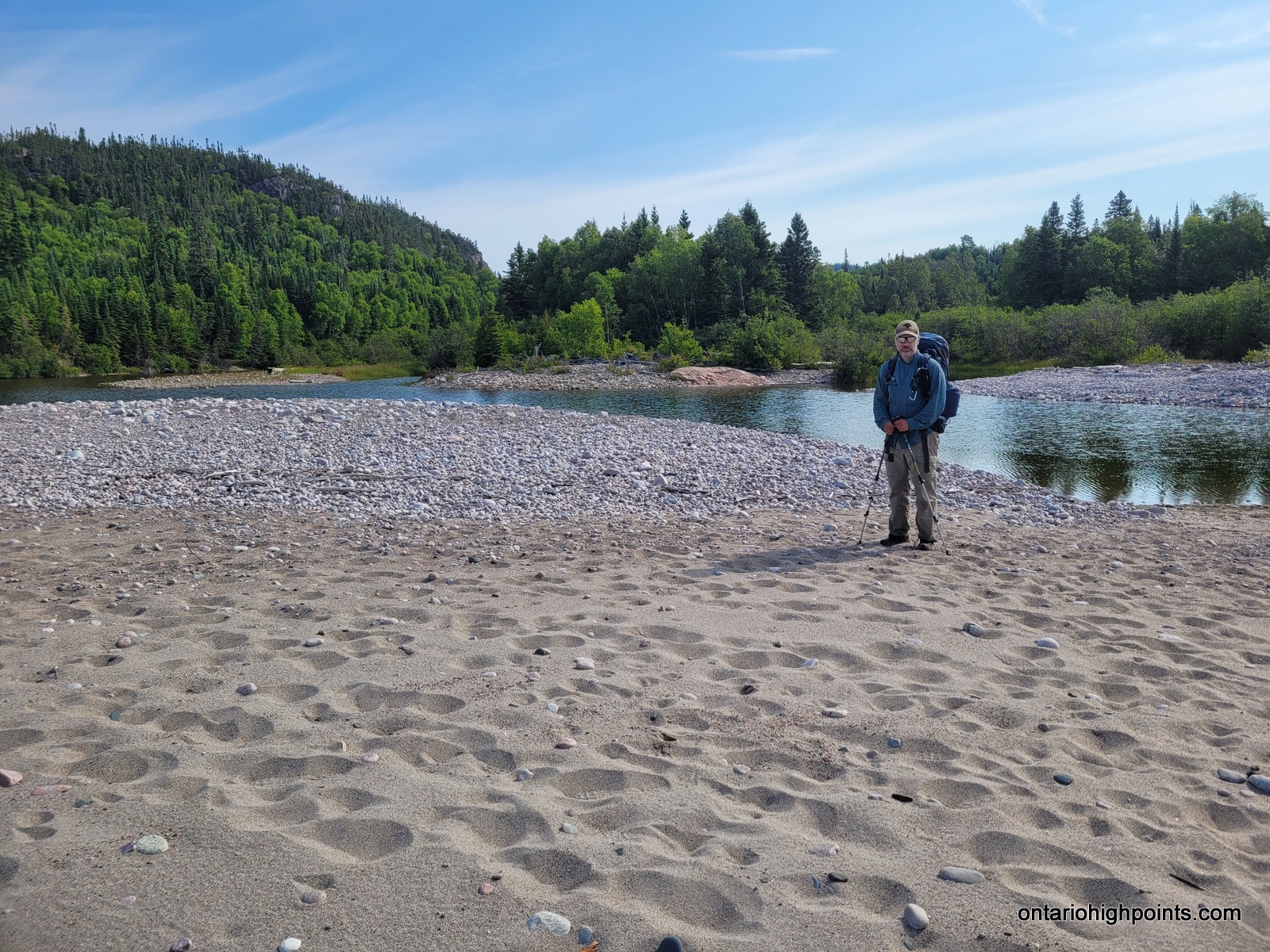
We awoke to a slightly foggy morning which burned off with the morning sunshine. We broke camp just after 7:30 AM and made our way south towards the outlet of Willow River on the Lake Superior coast. Initially we found the trail to be fairly moderate with good footing and not too many ups and downs. We arrived at Willow River at 10:20 AM where we had a long break. The views of Lake Superior and the coast here were very beautiful and picturesque.
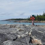
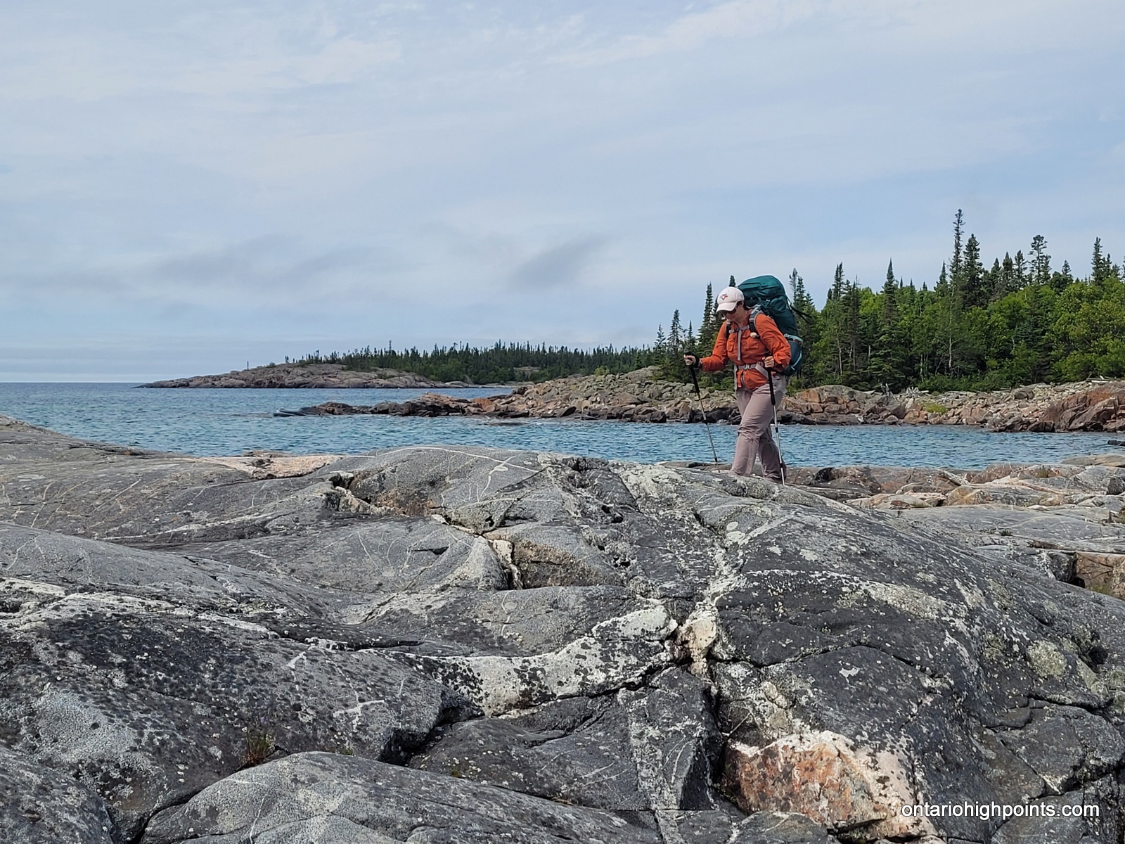
Beyond Willow River we found the terrain got much more challenging and rougher going with lots of large rocks and raised boulder beaches we had to hike across. The trail terrain got easier approaching Morrison Harbour, but we found the section along the rocky coast approaching Fish Harbour to be tough, especially towards the end of a long day. We lost the trail briefly here when we missed the turn going inland, but after consulting my GPS we were back on the trail.
We arrived at our campsite: FH1 at 4:00 PM, which like the other 3 Fish Harbour sites requires a short hike down a side trail to the beach front campsites. Previous backpackers have assembled some log benches around the firepit, however we chose to eat dinner and hang out down at the beautiful beach instead as it was free of bugs.
-
- Morning at Hook Falls
-
- Hook Falls
-
- The trail through the boreal forest
-
- Overlooking a marsh
-
- Raised boulder beach
-
- Willow River Beach
-
- Taking a break at Willow River
-
- Boulder beach north of Willow River Beach
-
- Clear blue water
-
- Willow River crescent beach
-
- Willow River bridge
-
- Willow River
-
- Climbing up and over rock ridges
-
- On rock ridges overlooking Lake Superior
-
- Descending back to the Lake Superior coast
-
- Rugged trail nearing Shot Watch Cove
-
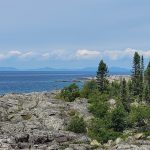
- Distant hills along the Lake Superior coast
-
- Raised boulder beach
-
- Shot Watch Cove
-
- Shot Watch Cove beach
-
- Coastline near Morrison Harbour
-
- The trail along the rocky coast
-
- Rocky coast with Fish Harbour in the background
-

- Campsite at Fish Harbour
-
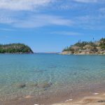
- Fish Harbour beach
Day 3 – July 20, 2023 – Fish Harbour (FH1) to Fisherman’s Cove (FC2):
13.6 km – Fish Harbour (FH1) to Fisherman’s Cove (FC2)
8:08 AM – 2:51 PM, 6h 45m (moving time: 4h 31m)
Total Ascent: 350m / Total Descent: 394m
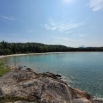
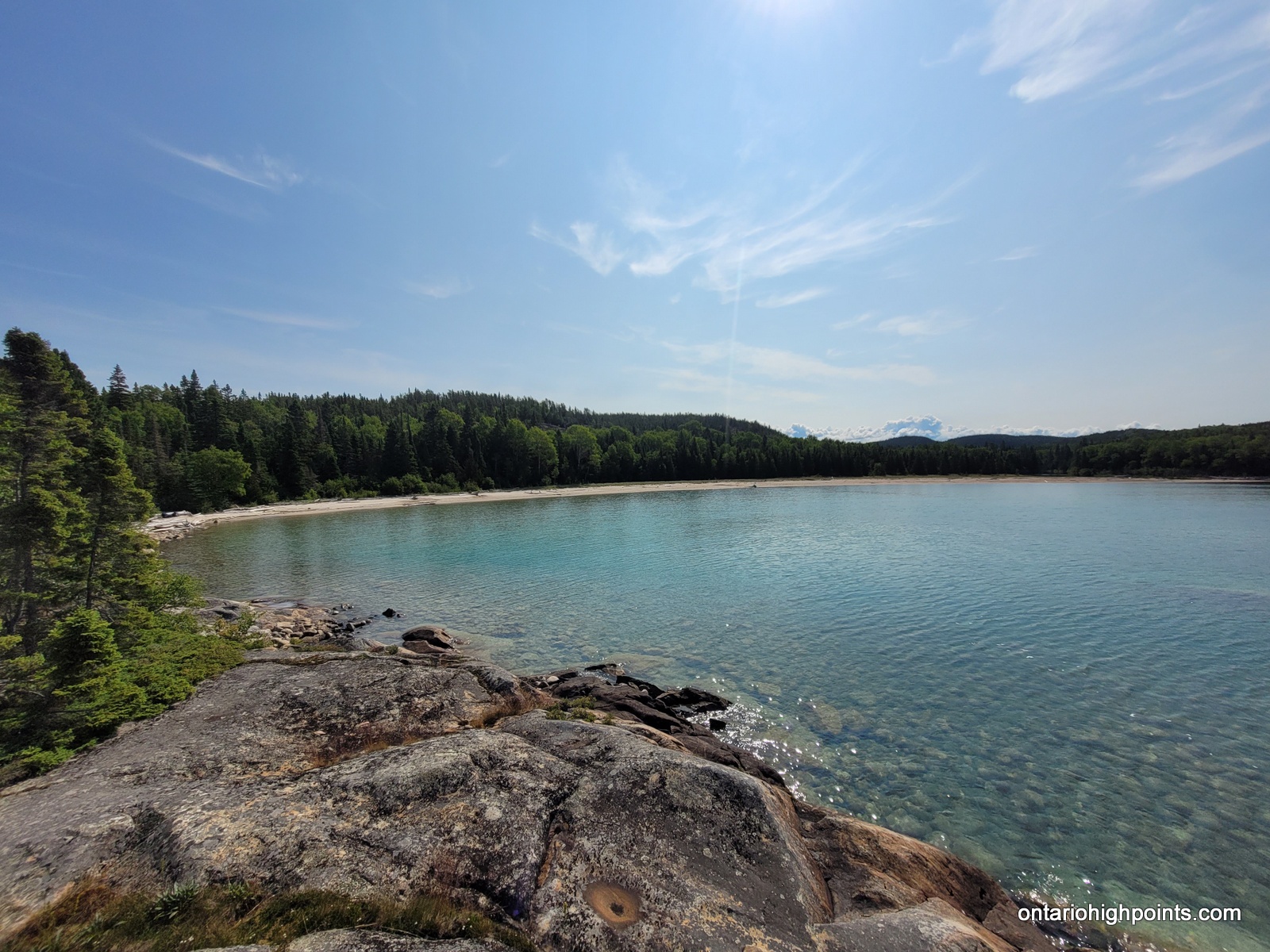
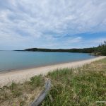
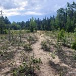
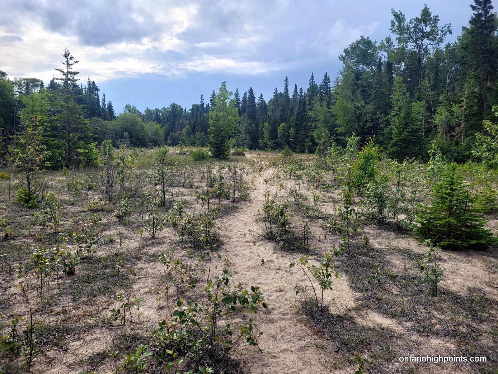
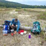
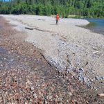
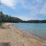
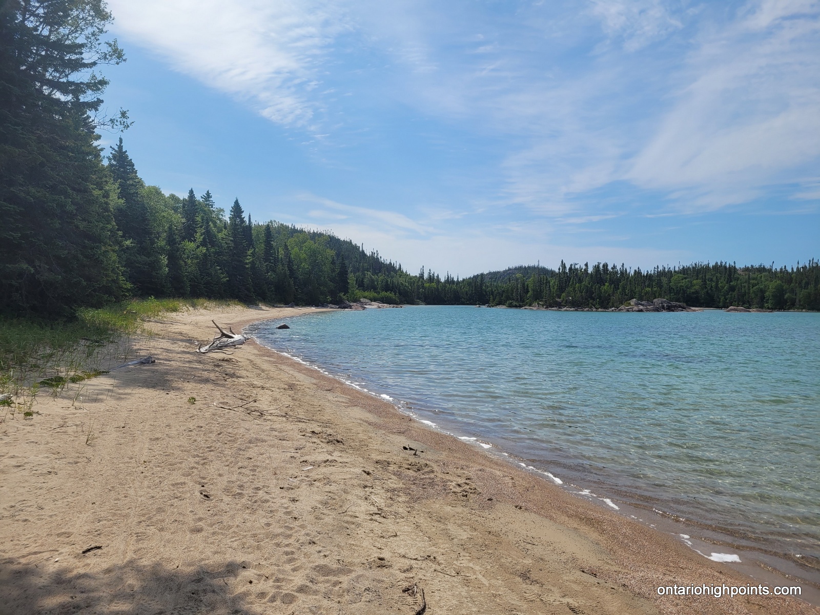
We got a later start to the day (breaking camp at 8:10 AM) as it rained all night and we were hoping the trail and accompanying bush foliage would dry out. They didn’t really, not until the afternoon. The trail was fairly good to Oiseau Bay. We passed by a couple beaches and a ‘sand meadow’ along the way. We stopped at Oiseau Bay at 10:30 AM for a late breakfast and enjoyed the views from the sand dunes.
After Oiseau the trail got rougher. Val describes it was the worst La Cloche Silhouette trail terrain. We were supposed to get to White Gravel River today, but after taking a break at Fisherman’s Cove, we decided to stay there on the beach. We had built a spare day into our itinerary, so this wouldn’t have a big impact on our plans. The hikers we met at Fisherman’s Cove described the trail to White Gravel River as difficult and rough, so we were hesitant to continue. We met a mother-daughter group who came from White Gravel River who were also staying on the beach. The daughter wasn’t feeling well, so they decided not to push on to Oiseau Bay.
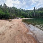
We found Fisherman’s Cove to be a very pretty protected bay with a nice wide sand beach. As the day had warmed significantly, we were able to dry out our wet clothes and tent. Dinner was chili and chips which we found to be our best meal yet.
-

- Cave Harbour
-
- North Oiseau Bay beach
-
- North Oiseau Bay
-
- Sand meadow approaching Oiseau Bay
-

- Oiseau Bay beach
-
- Making lunch at Oiseau Bay
-
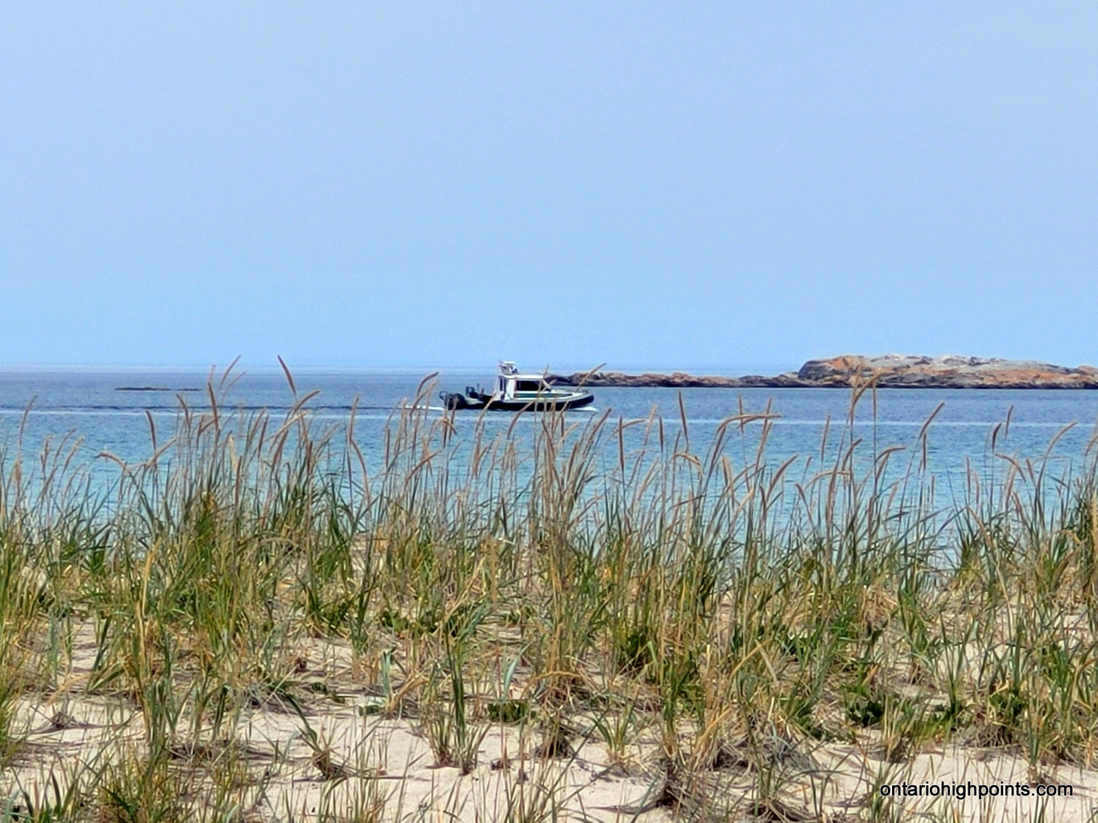
- Boat at Oiseau Bay
-

- South Oiseau Bay
-
- Nicols Cove
-
- Lake Superior coastline
-
- More Lake Superior coastline
-
- Looking out at the Lake Superior coastline

-
- Fisherman’s Cove
-
- On the beach at Fisherman’s Cove
-
- Campsite at Fisherman’s Cove
Day 4 – July 21, 2023 – Fisherman’s Cove (FC2) to White Gravel River (WGR3):
7.7 km – Fisherman’s Cove (FC2) to White Gravel River (WGR3)
7:24 AM – 10:40 AM, 3h 16m (moving time: 2h 37m)
Total Ascent: 283m / Total Descent: 306m
5.7 km – Recon day hike up the White Gravel River
12:10 PM – 2:48 PM, 2h 37m (moving time: 2h 3m)
We broke camp and headed out on the trail at 7:30 AM. The trail started out a bit tough with the ascent up from the coast, but once we were inland it changed into a pretty nice trail. We kept waiting for it to get awful since the previous days’ hikers at Fish Harbour described it as ‘very rough’ and ‘the worst terrain so far’. They probably weren’t enjoying the Fish Harbour to Oiseau Bay section today. We stopped more often than usual to enjoy some viewing nice spots.
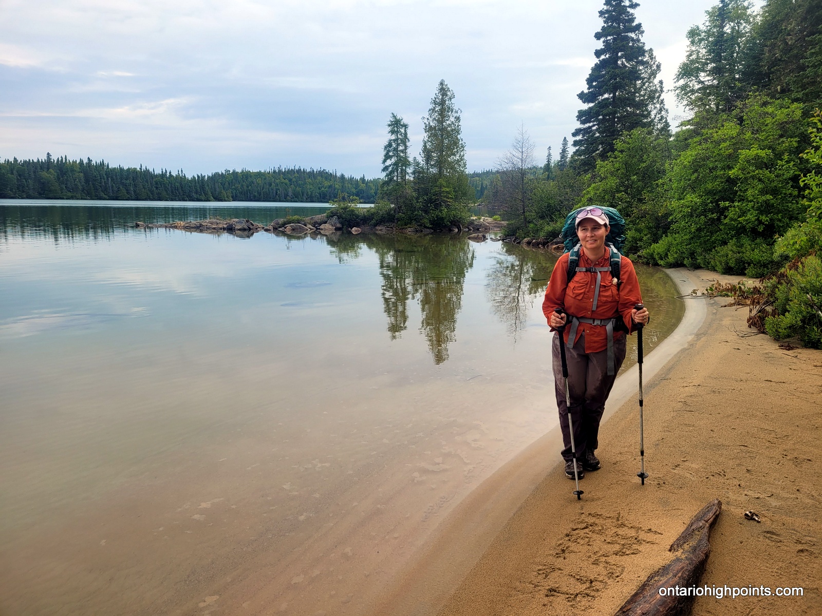
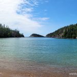
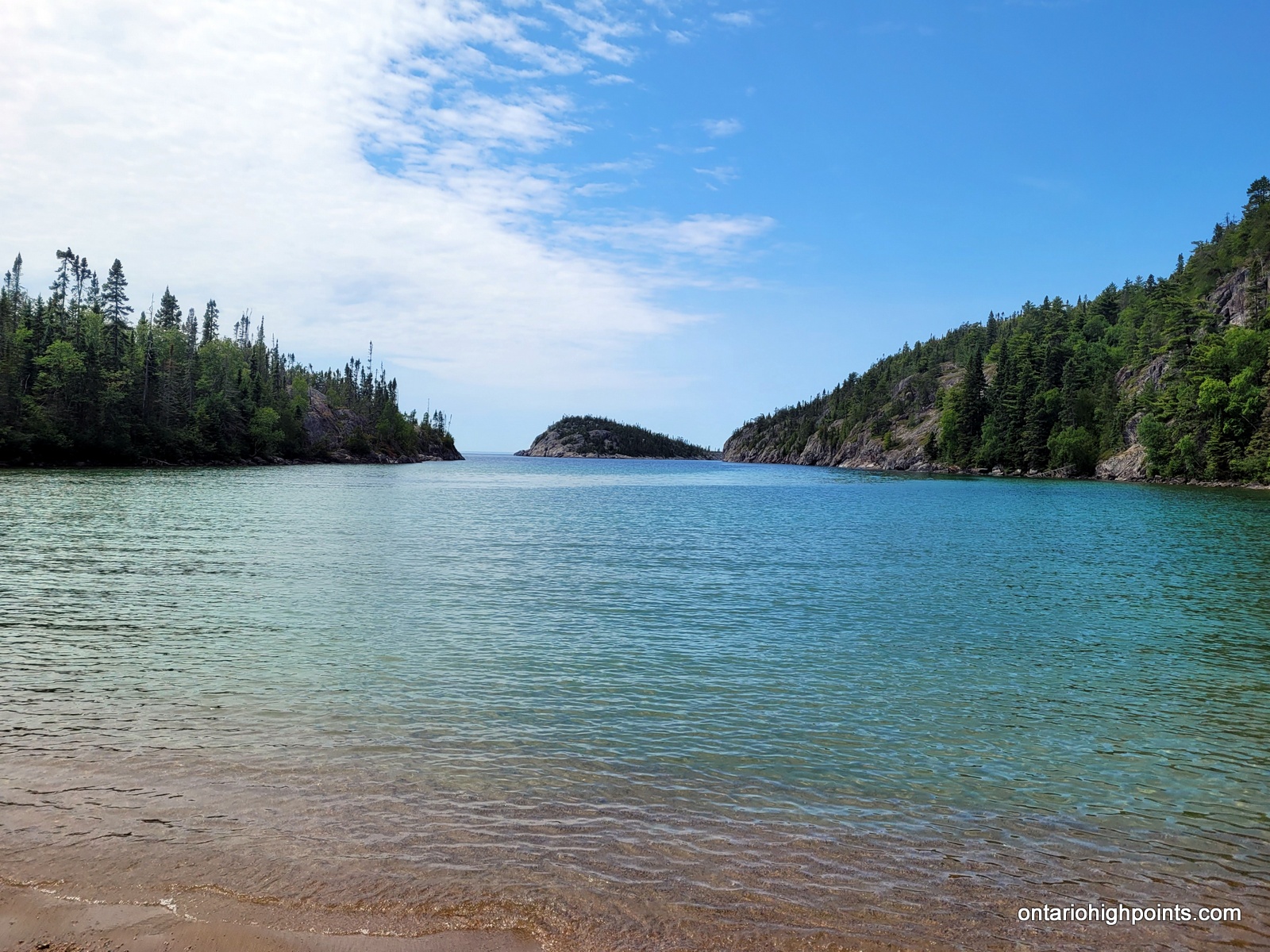
We arrived at our campsite WGR3, situated just north of the outlet of the White Gravel River at 10:40 AM and had a late breakfast. After setting up our tent and unpacking some of our gear, we decided to check out the first 2 km of the White Gravel River in anticipation of tomorrow’s hike. This is where we would depart the Pukaskwa Coastal trail and make our own route inland to Tip Top Mountain.
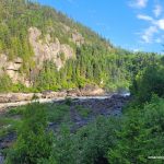
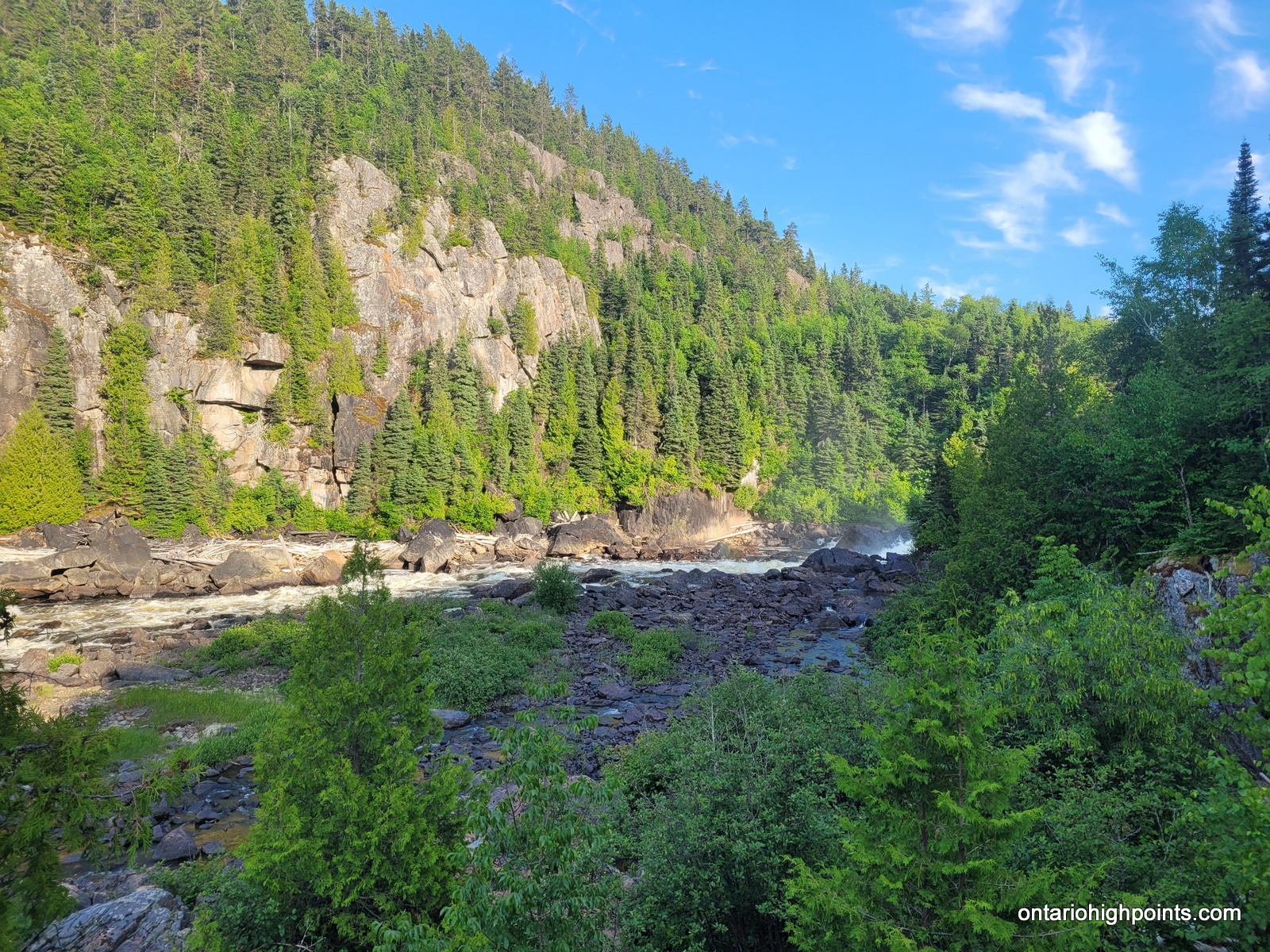
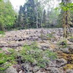
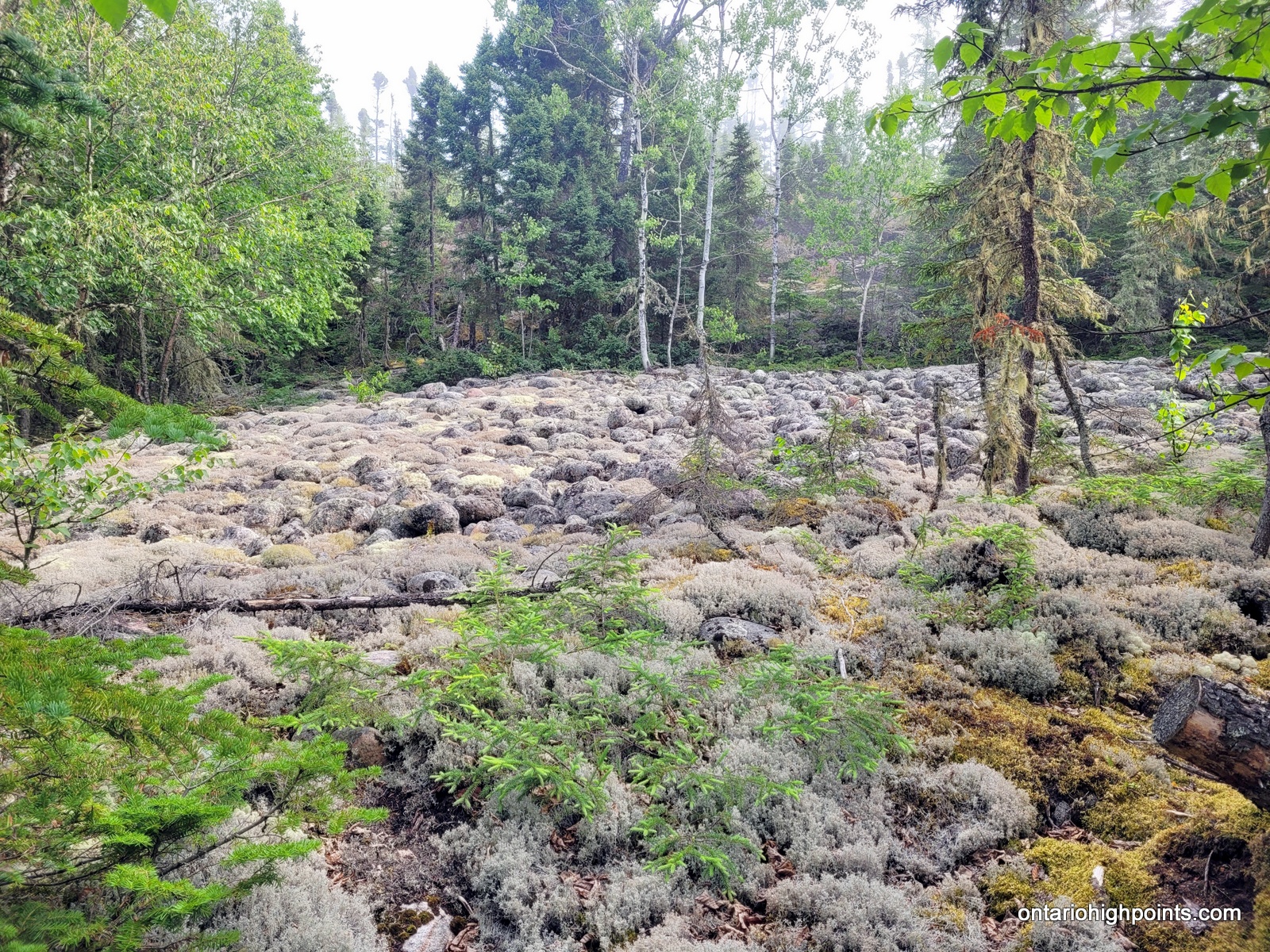
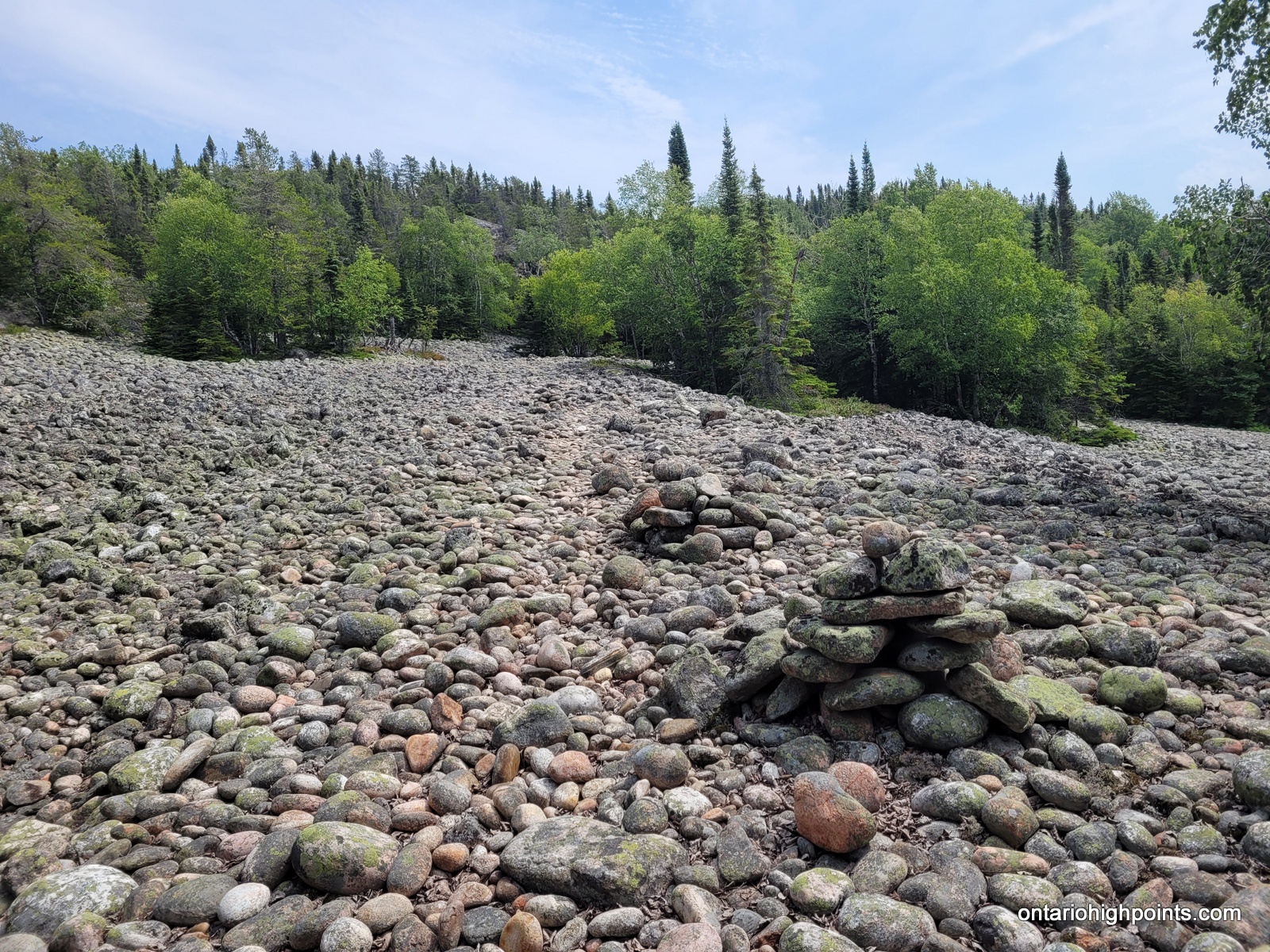
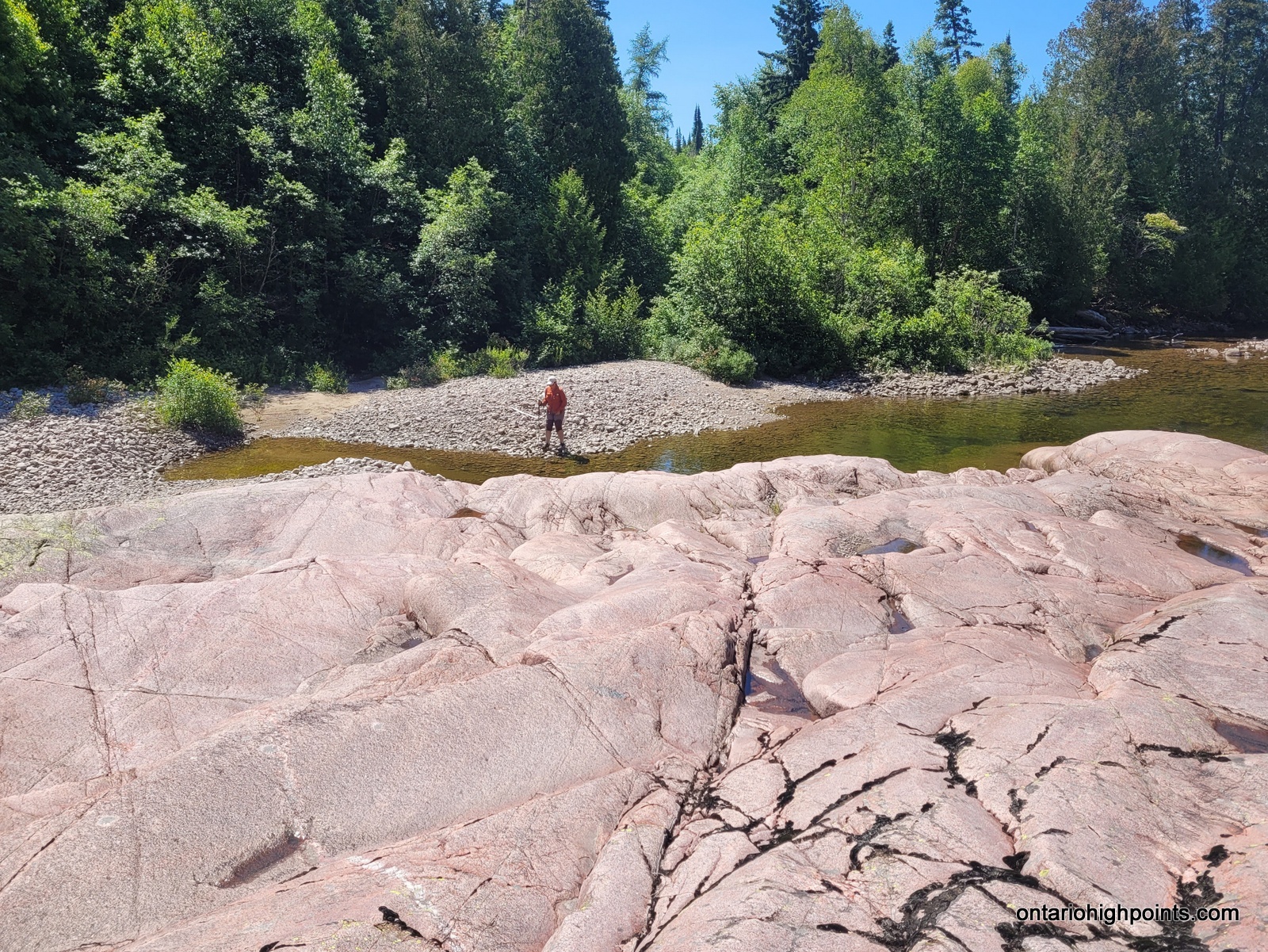
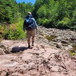
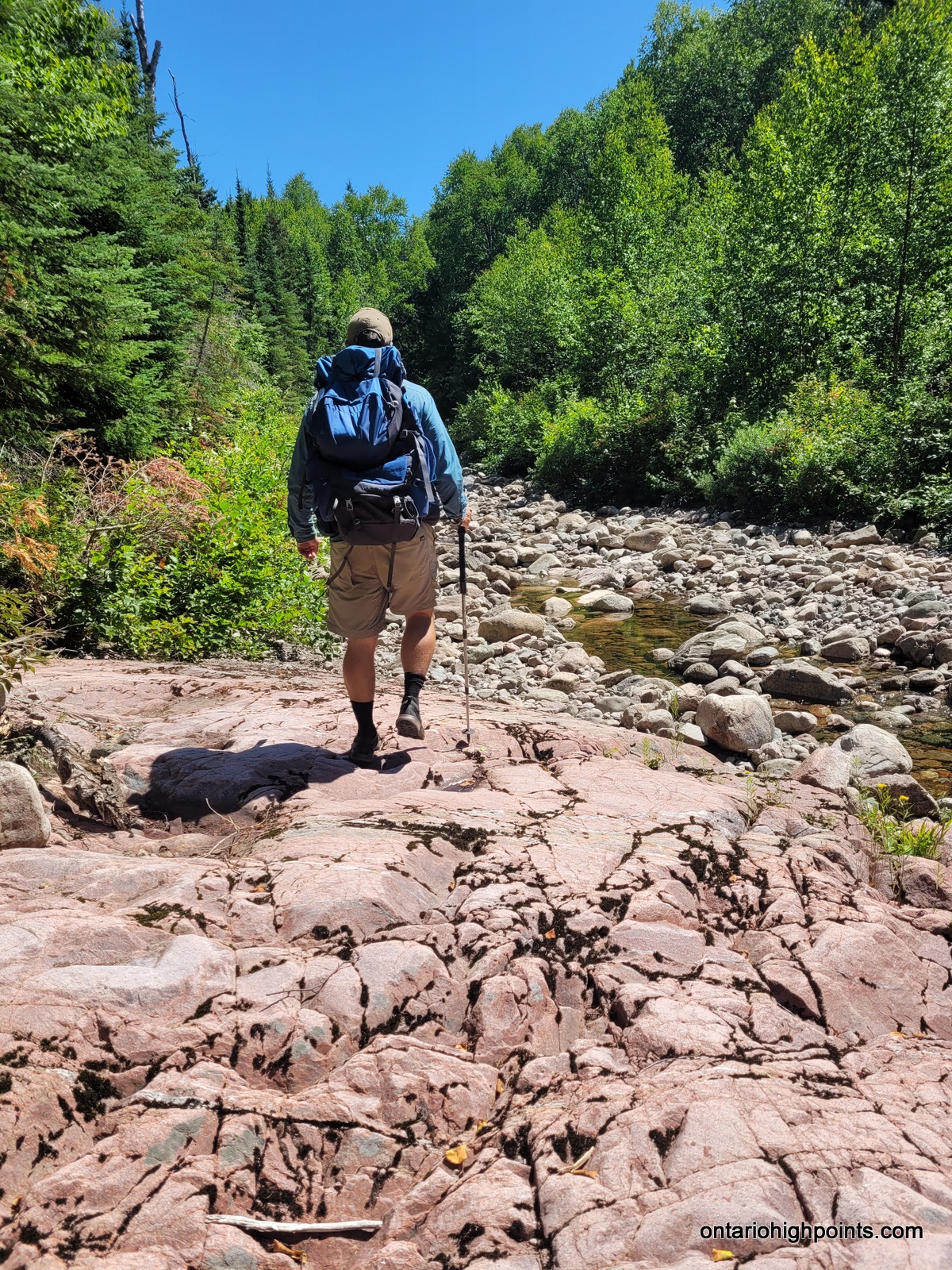
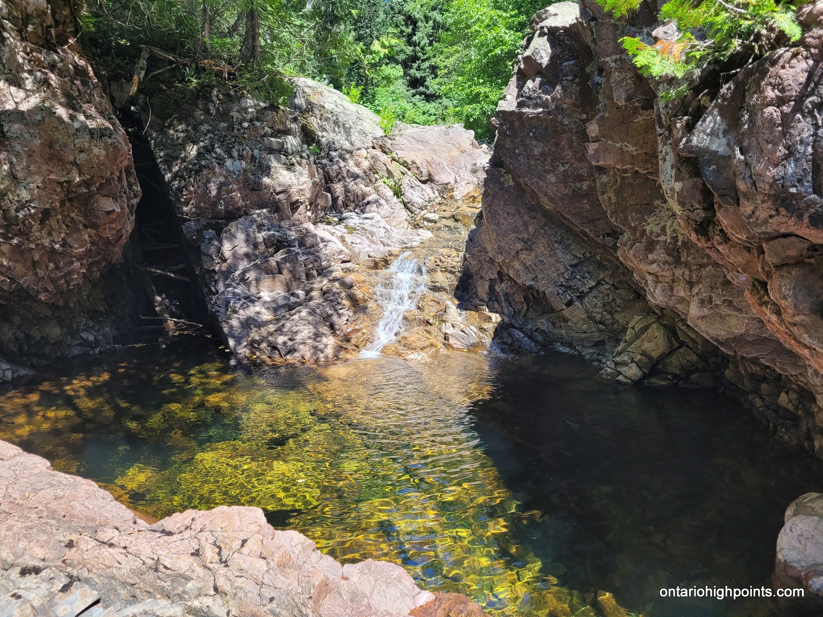
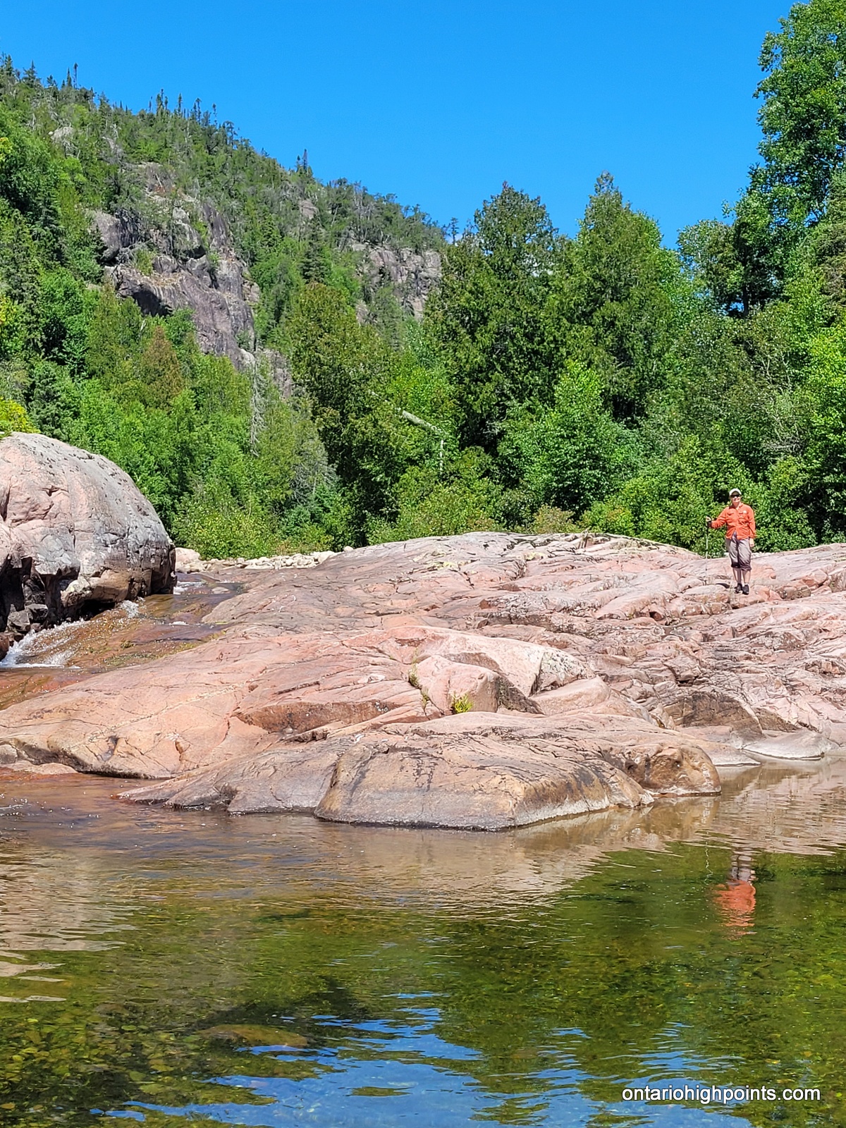
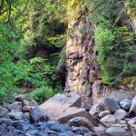
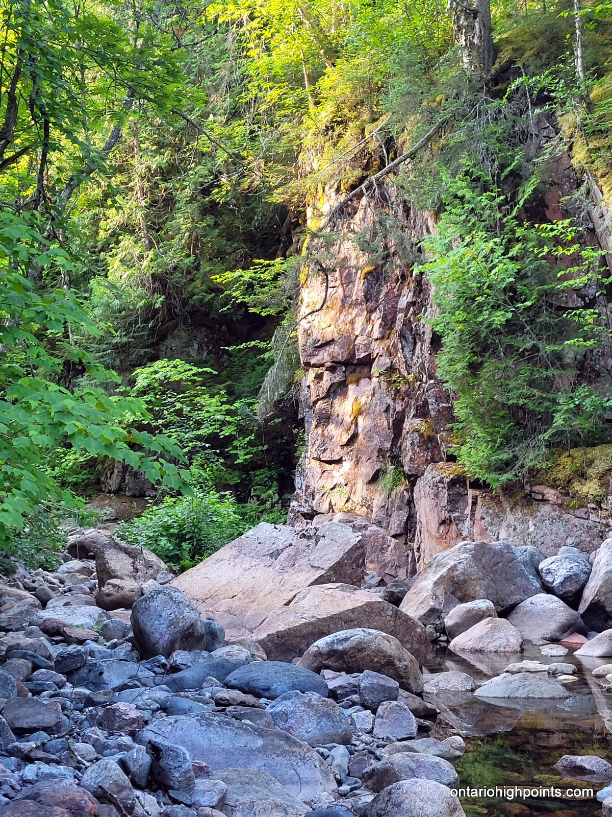
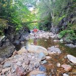
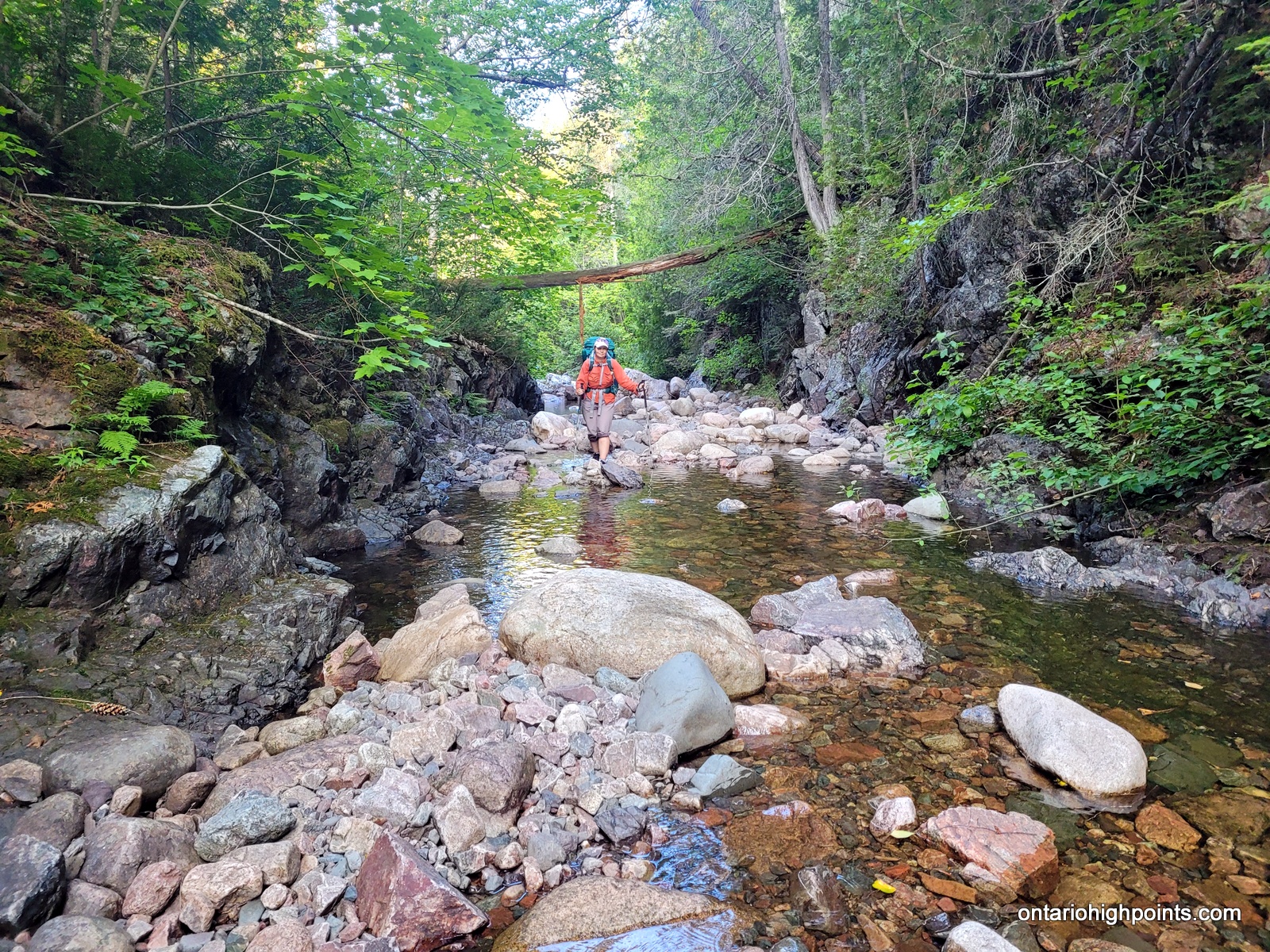
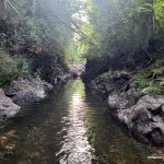
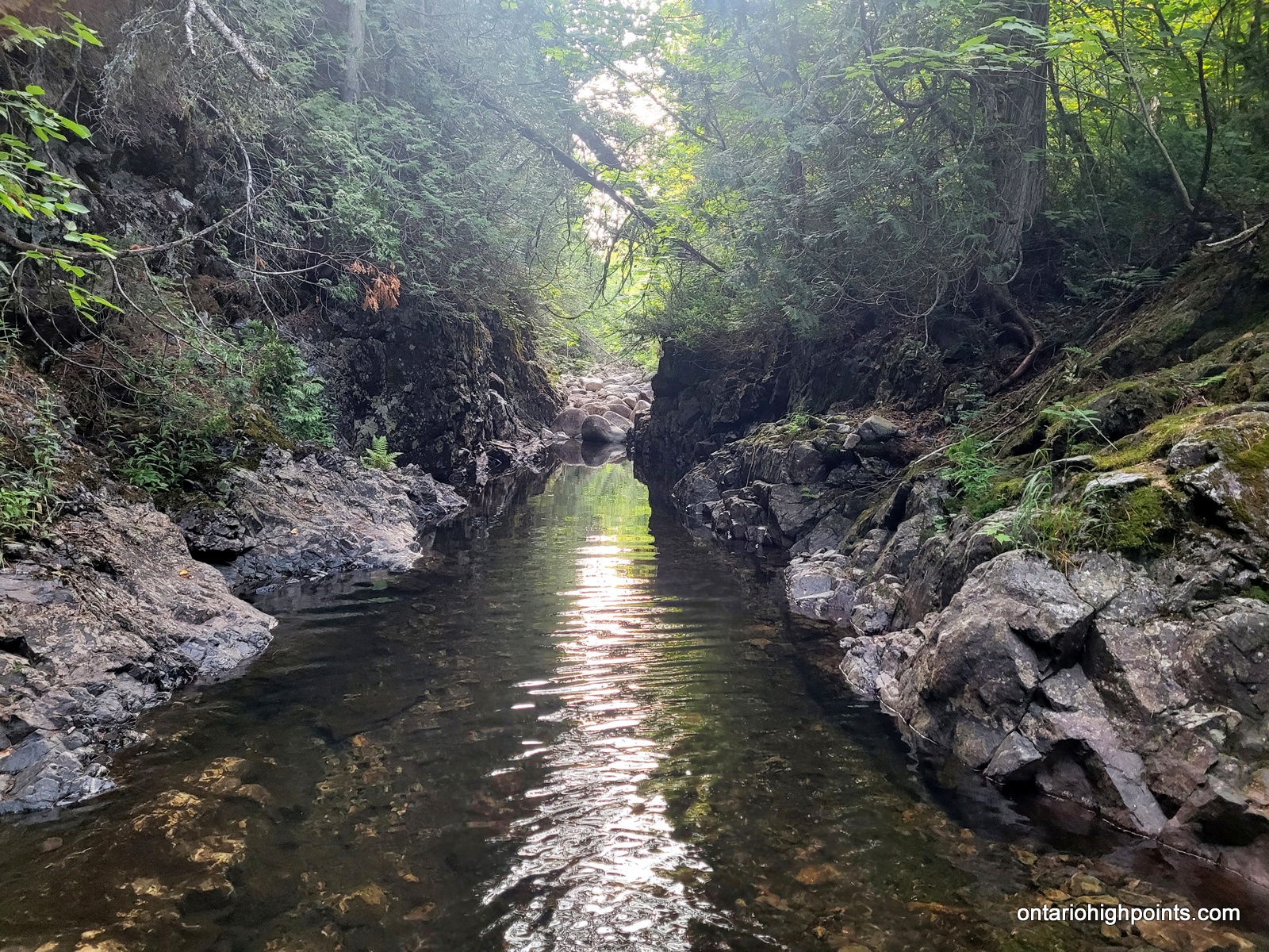
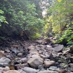
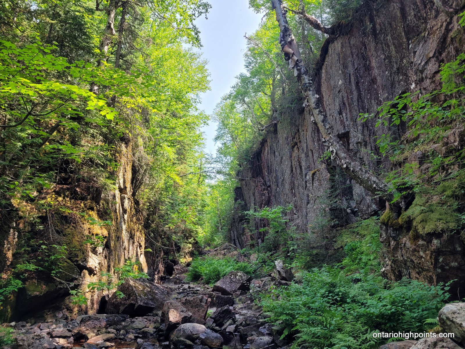
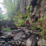
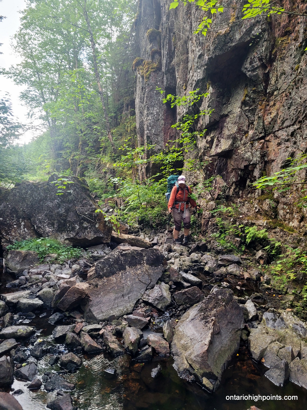
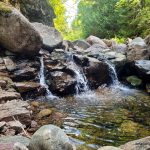
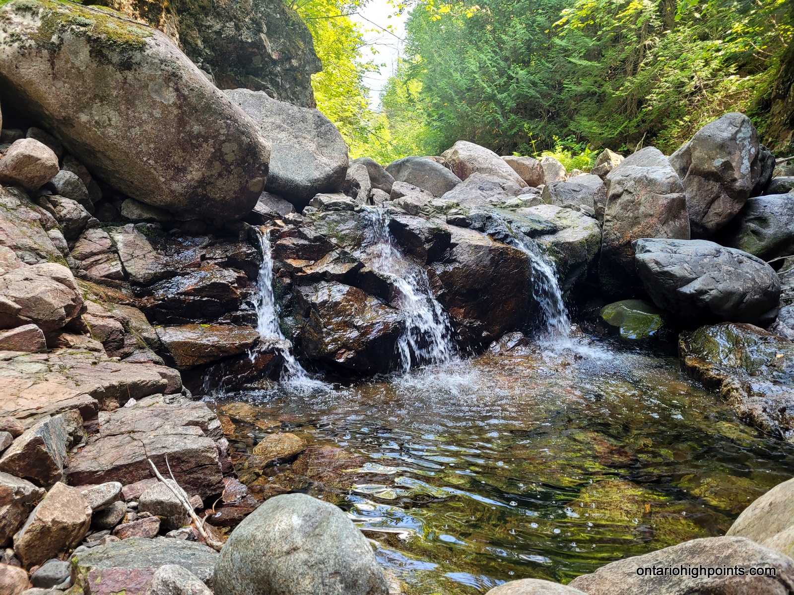
The White Gravel River can be described as a ‘spring river’. In the spring it might be a raging torrent, but by summer it’s little more than a trickle. We donned our river/amphibious shoes as we would be getting our feet wet. Along the main river, we waded through some shallow pools, then up along rocky beach shoulders and along rock outcrops around a small waterfall. After 1 km, we turned right (east) onto a smaller creek. This is a boulder strewn creek at the base of a (often) steep canyon with very little water flow. It reminded me of the bouldery mountain creeks in the Adirondacks of New York and White Mountains of New Hampshire.
We explored the first 1 km of this smaller creek and then returned back to our campsite.
-
- Going inland south of Fisherman’s Cove
-
- Ascending the inland rock ridges
-
- Halfway to White Gravel River on the inland trail section
-
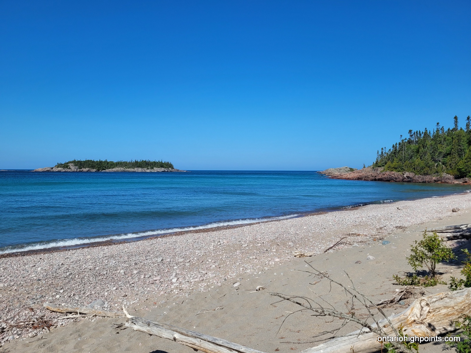
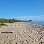
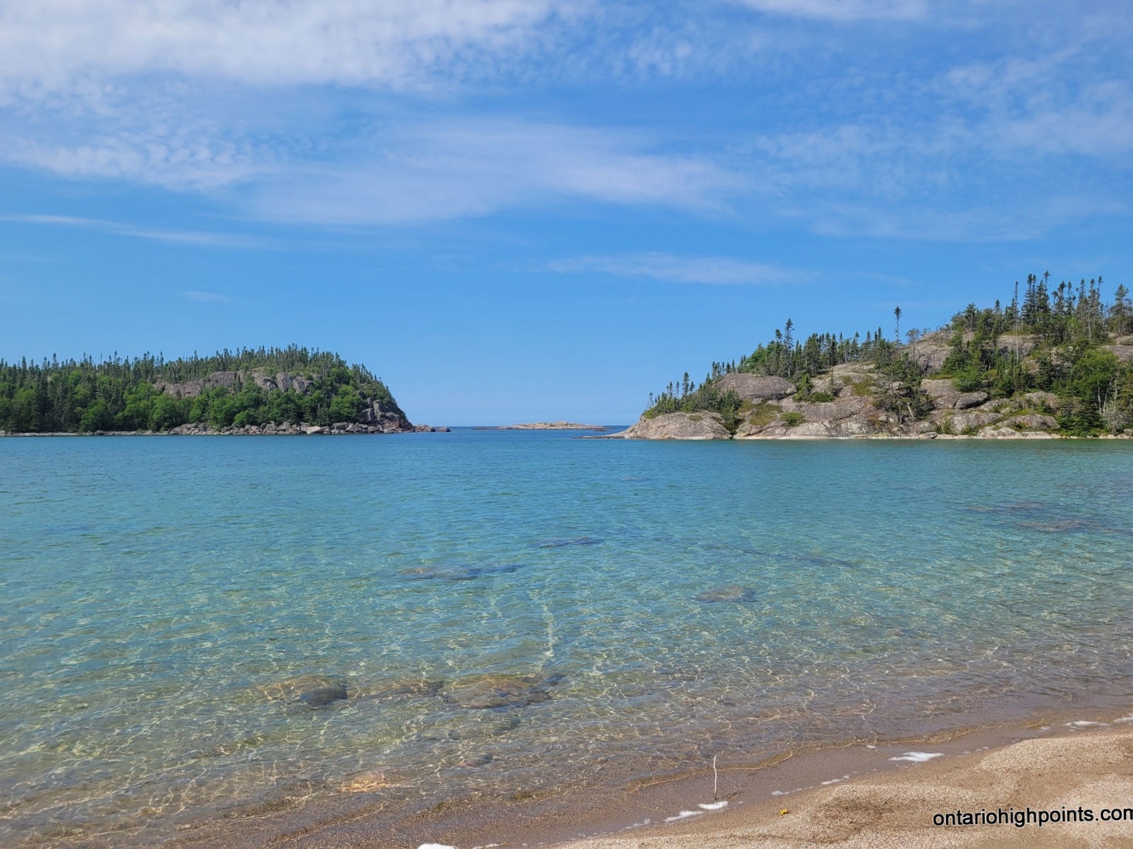
- White Gravel River beach
-
- Rocky beach near the White Gravel River
-
- Outlet of the White Gravel River
-
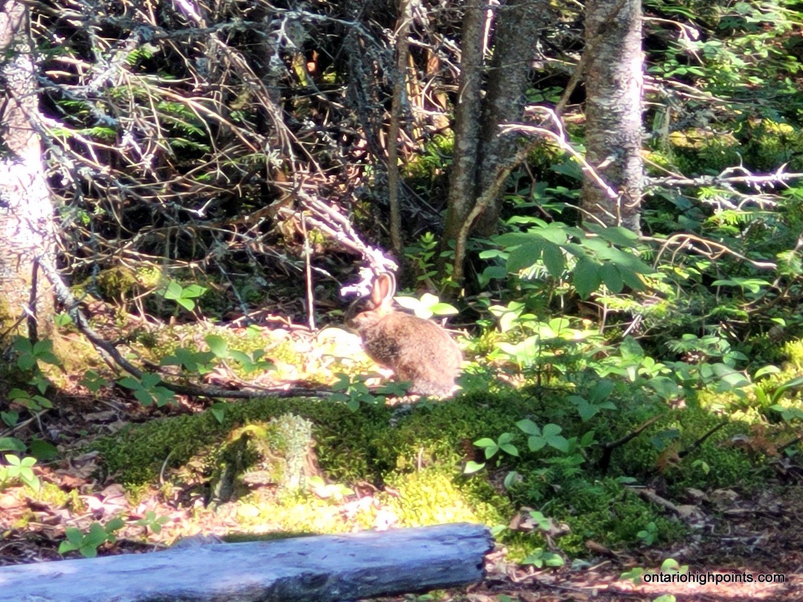
- Snowshoe hare at our campsite
-
- View of Lake Superior from the campsite
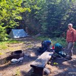
-
- White Gravel River campsite (WGR3)
-
- Exploring the White Gravel River
-
- Hiking the boulder shoulder along the WGR
-
- Turned onto a tributary of the WGR
-
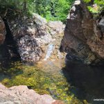
- A small waterfall and pool along the WGR tributary
-
- Descending back down the boulder strewn creek bed
-
- A small set of falls near the start of the WGR
Day 5 – July 22, 2023 – White Gravel River (WGR3) to Beaver Pond Camp:
12.5 km – White Gravel River (WGR3) to Beaver Pond Camp
7:06 AM – 4:21 PM, 8h 14m (moving time: 5h 38m)
Total Ascent: 365m / Total Descent: 89m
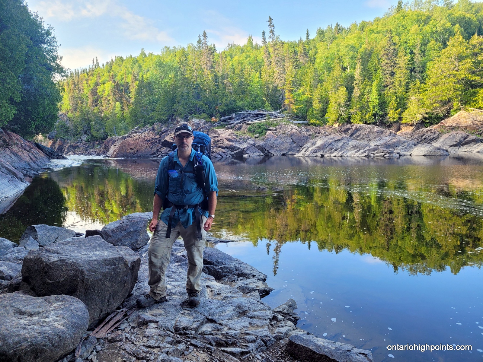
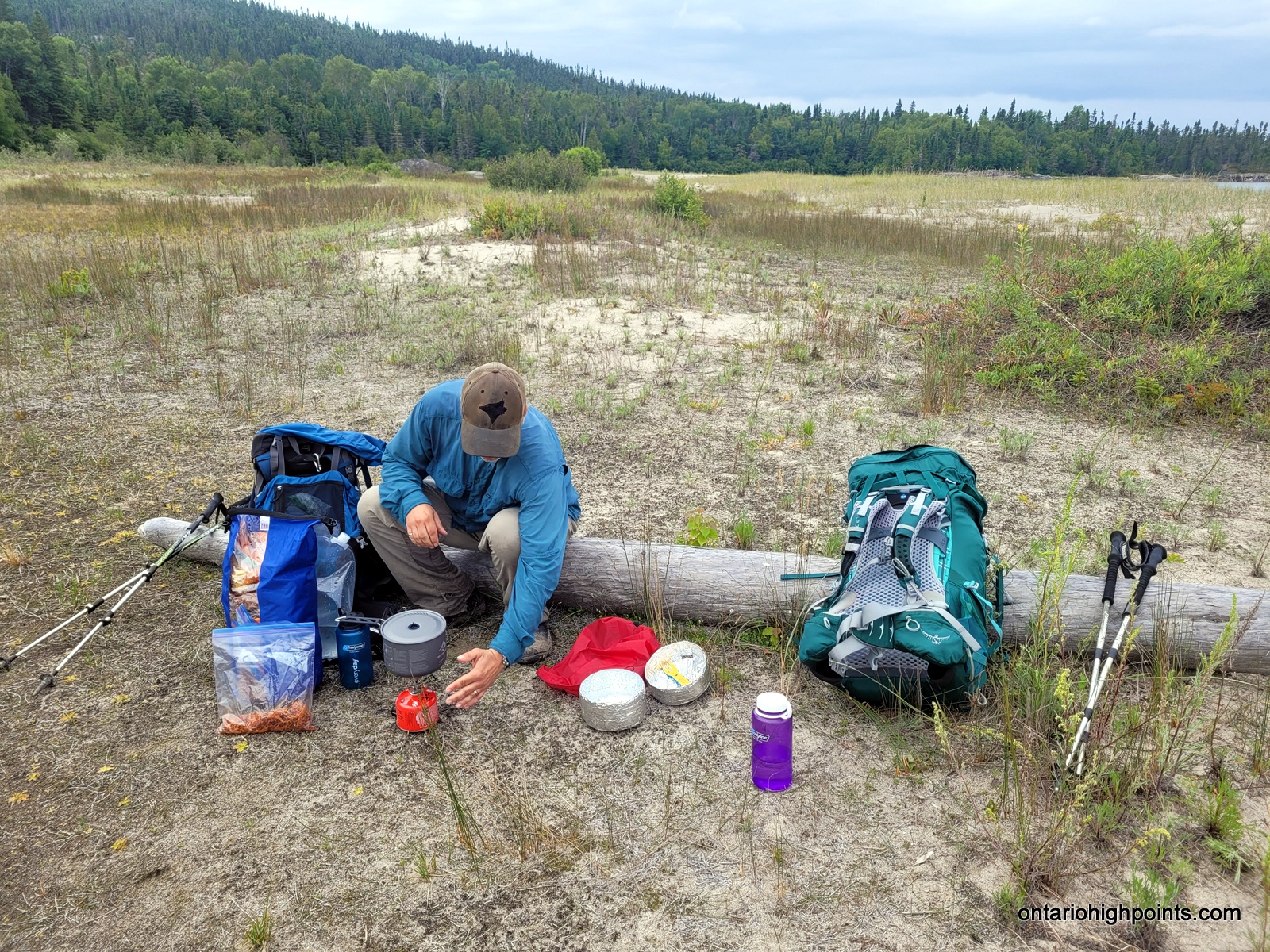
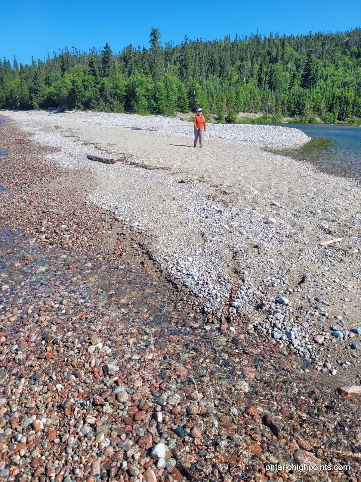
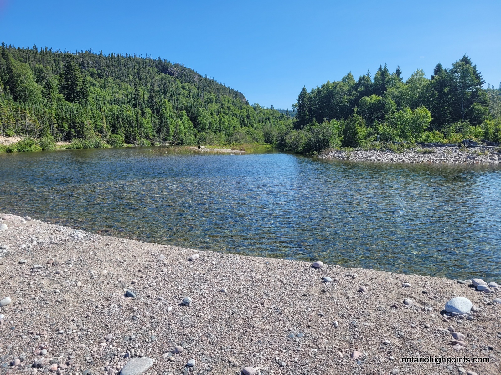
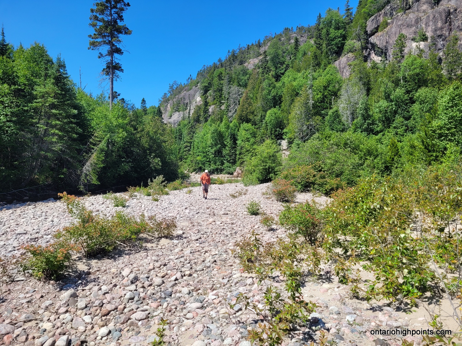
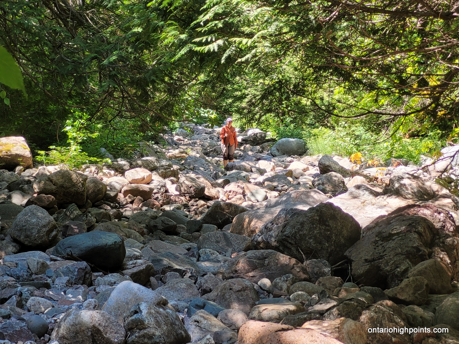
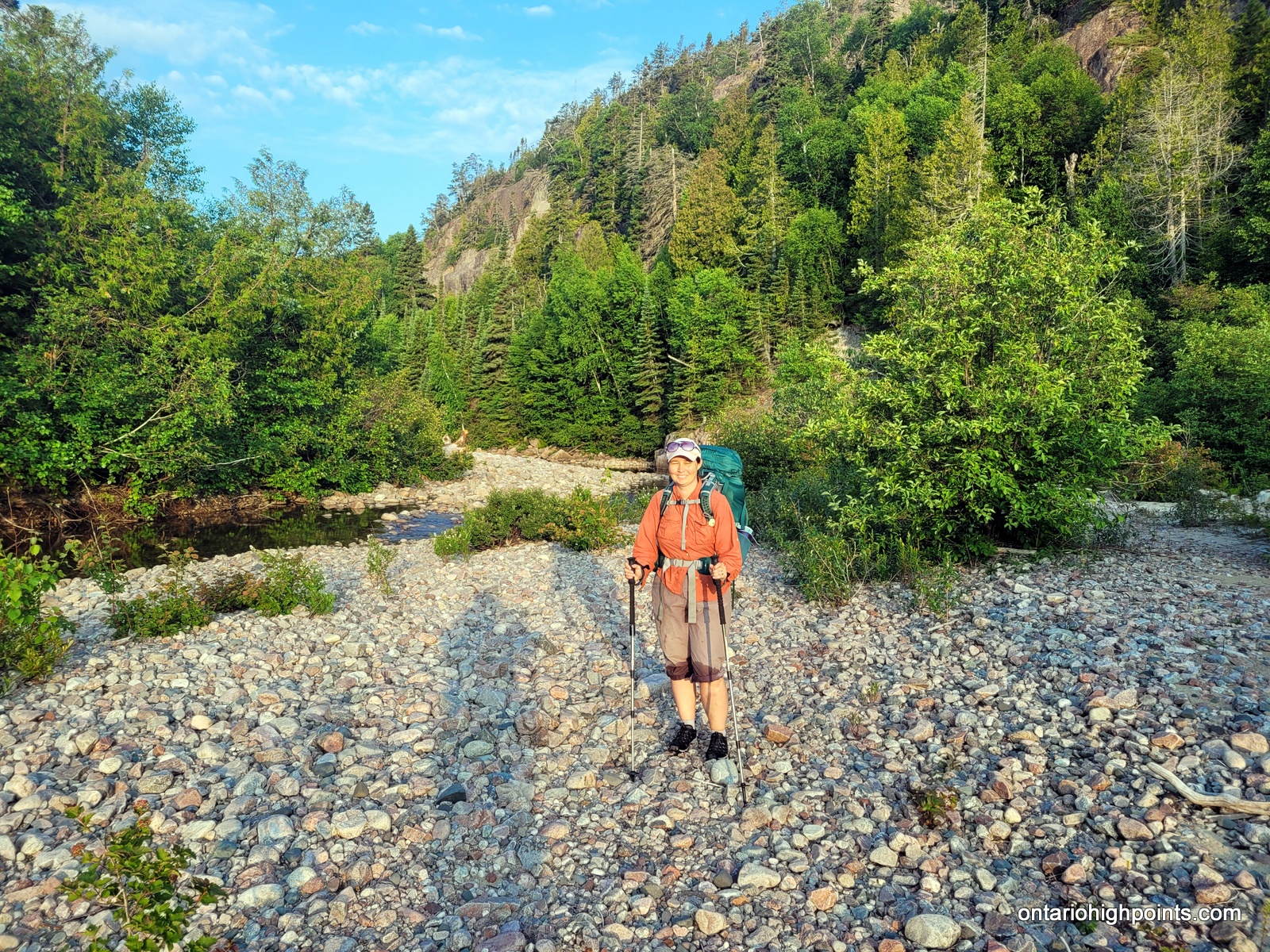
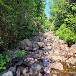
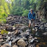
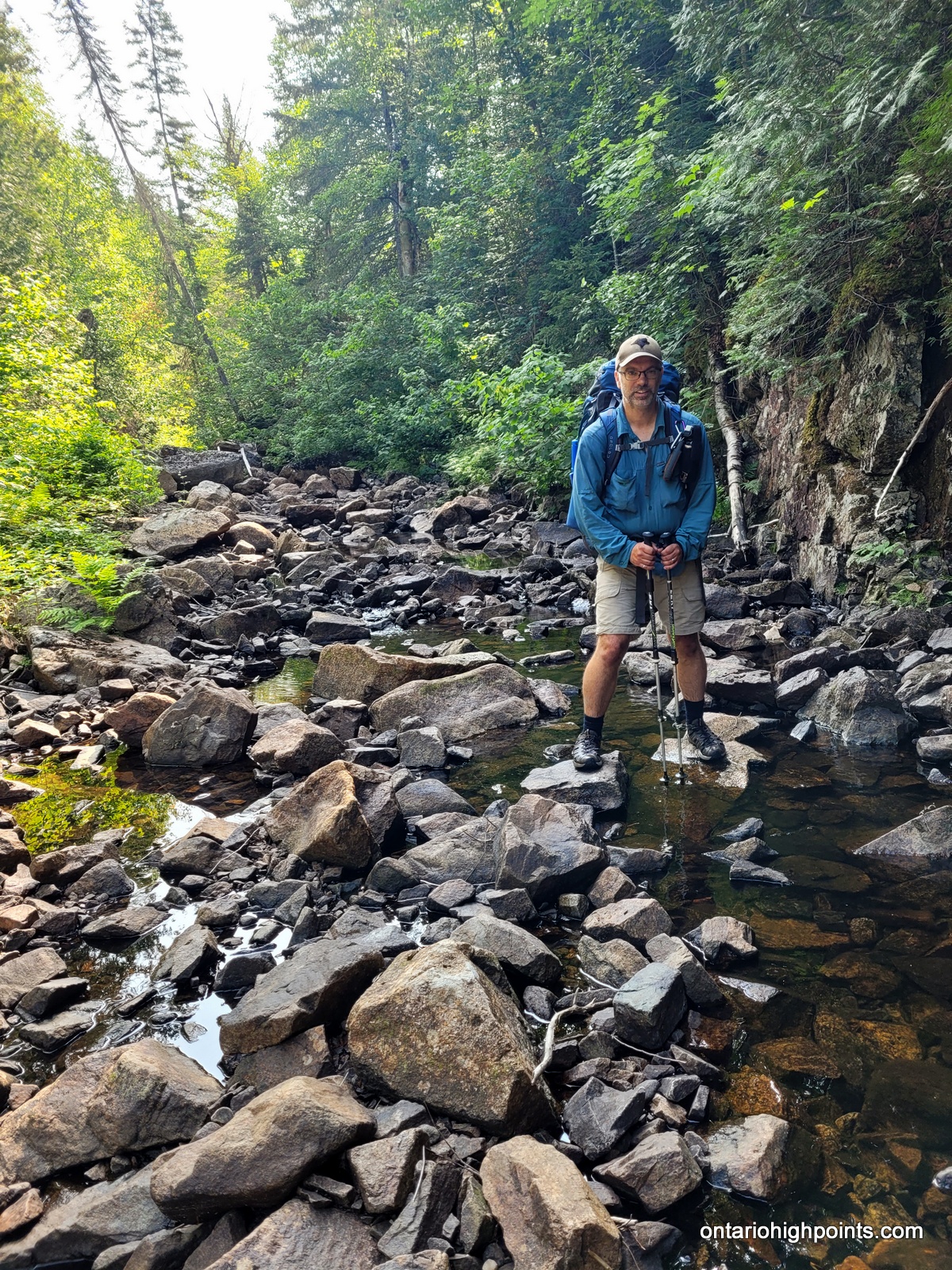
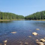
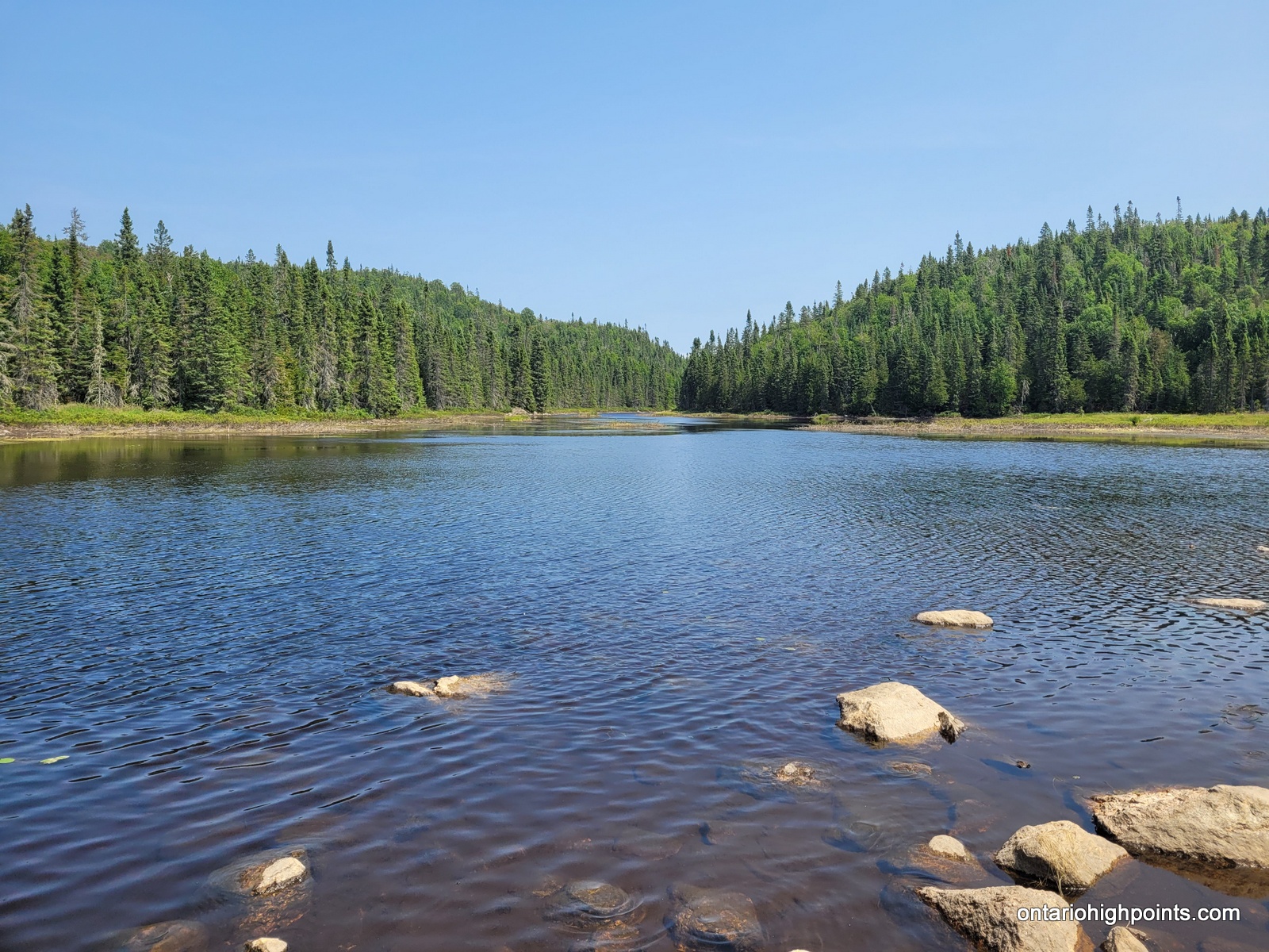
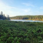
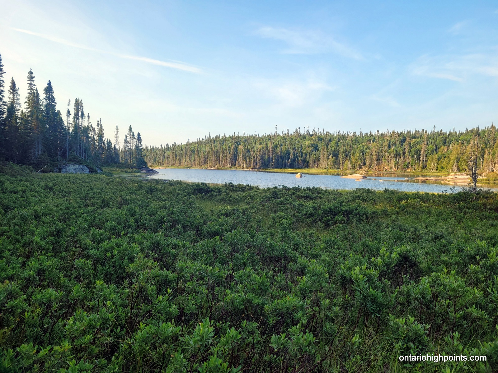
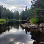
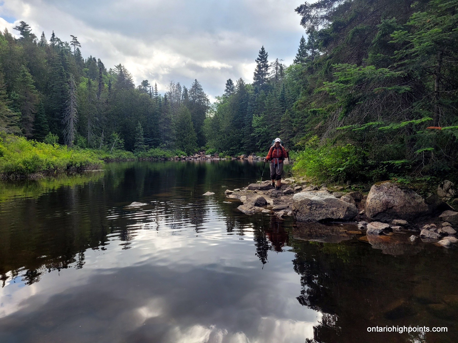
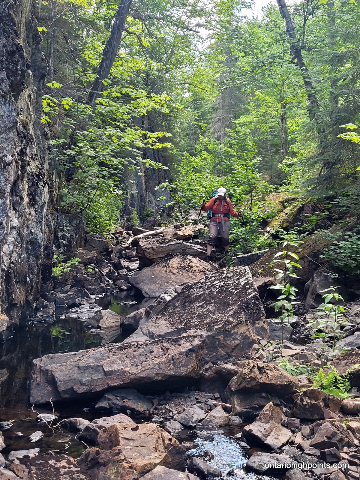
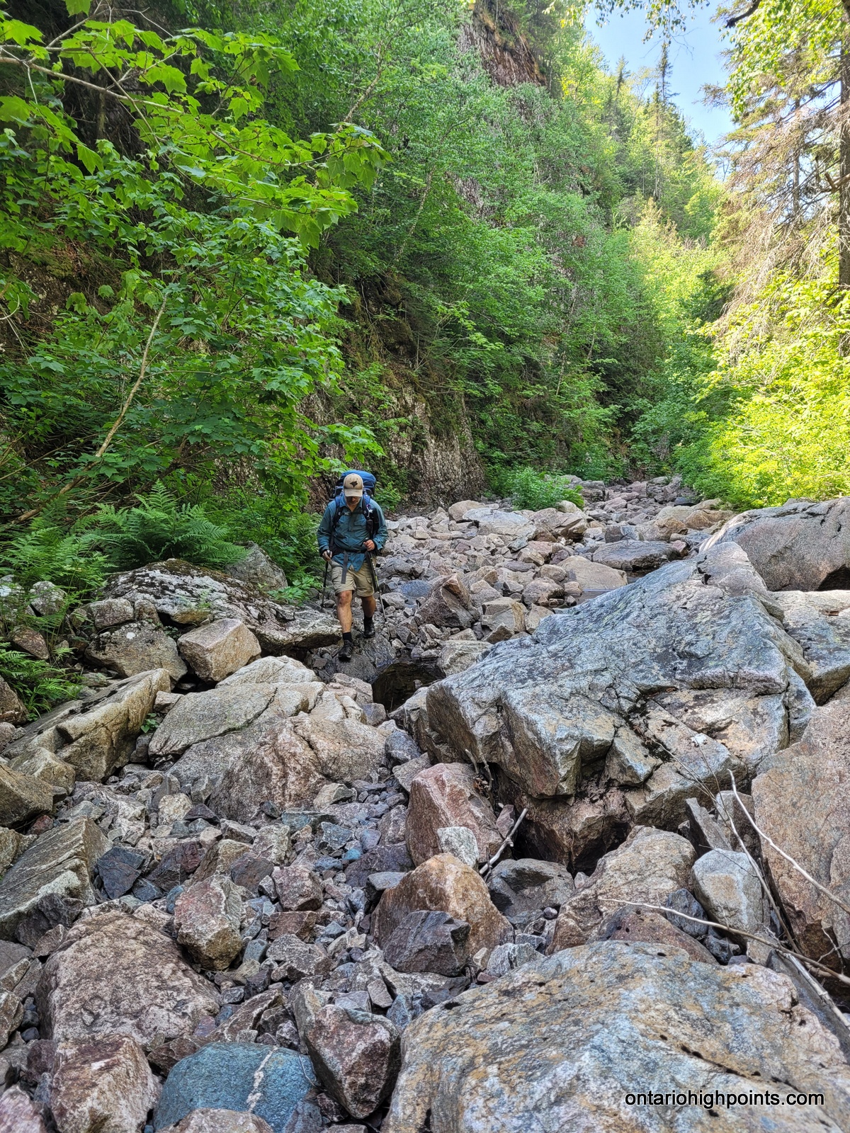
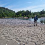
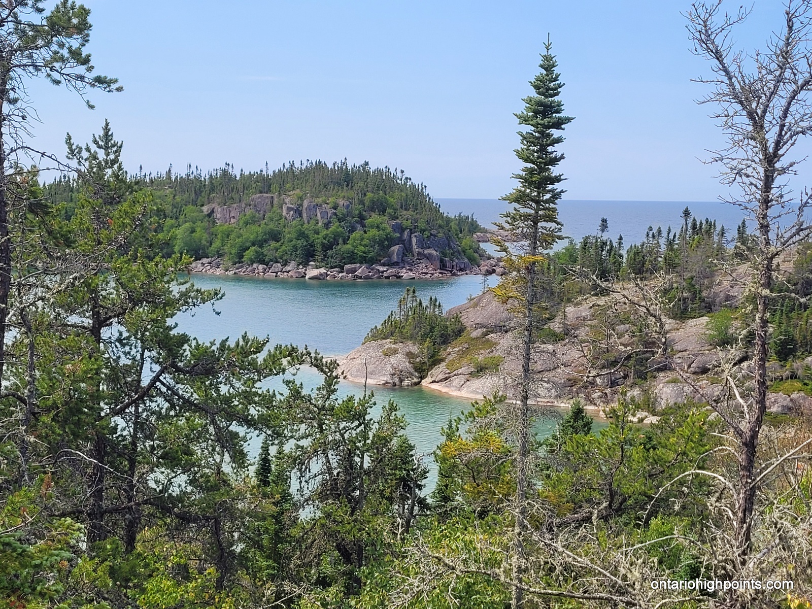
Tip Top Mountain is situated about 10 km (as the crow flies) from the Lake Superior coast. In order to reduce the burden of a 20+ km bushwhack round trip, I chose to try our luck hiking up a tributary of the White Gravel River to get to a spot where we could day hike (bushwhack) to and from Tip Top Mountain. Today, we would backpack up 10.5 km of boulder strewn river and then bushwhack 1.5 km to small lake where we’d establish a basecamp.
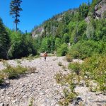
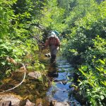
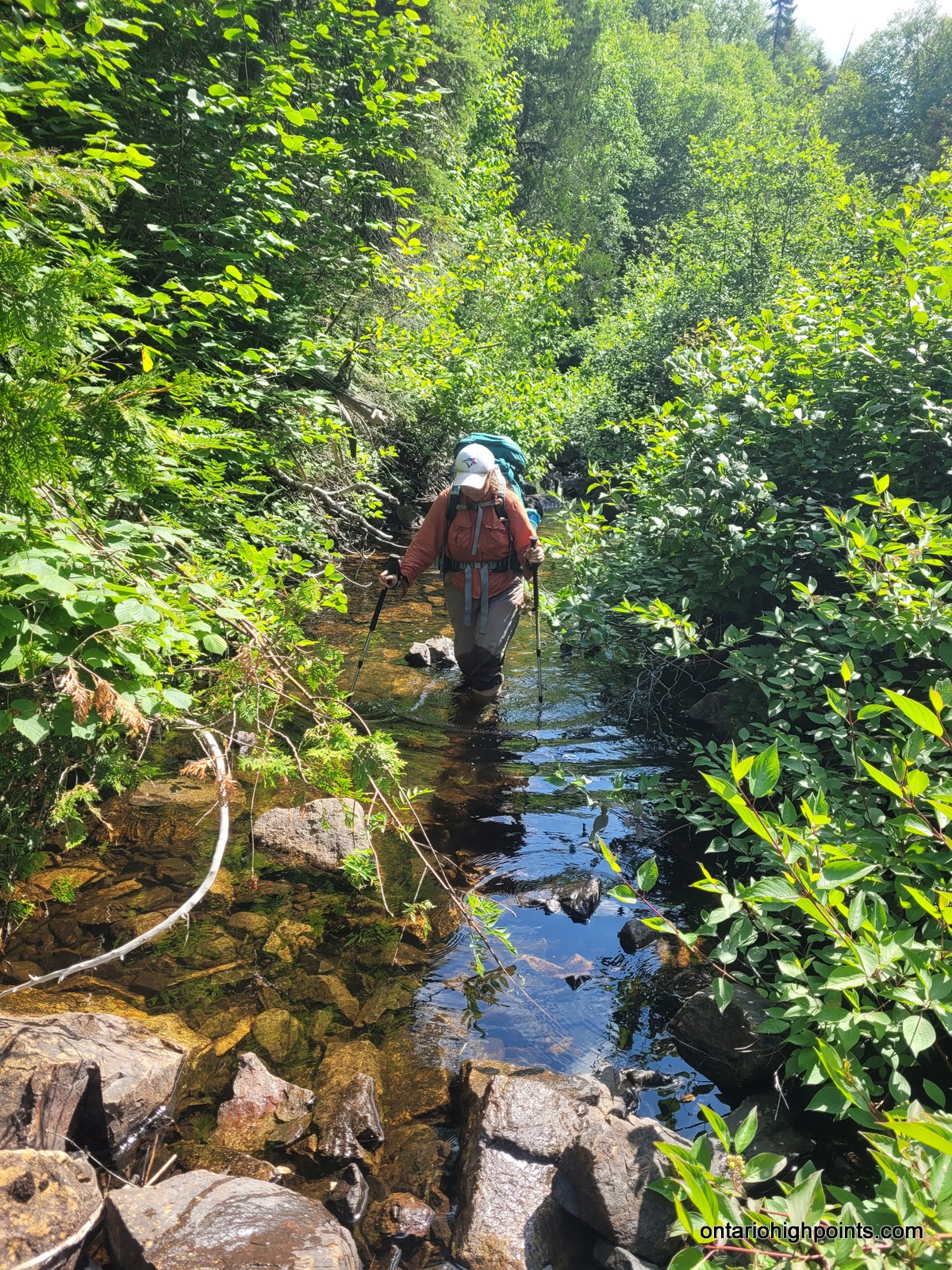
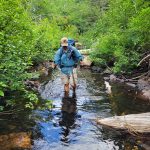
We departed our WGR3 campsite just after 7:00 AM and made our way down the beach to the outlet of the White Gravel River. We crossed the shallow outlet and then made our way along the southern bank of a secondary channel of the river, then crossed the channel to an ‘island’. We followed a path into the woods here and stumbled across a rough campsite complete with stacked firewood and wooden table. We continued on, crossed a ditch and then emerged onto the southern bank of the main river. We followed the river northeastward, trudging through some shallow pools and along some bouldery beaches; eventually reaching the right turn east onto a smaller tributary/creek.
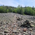
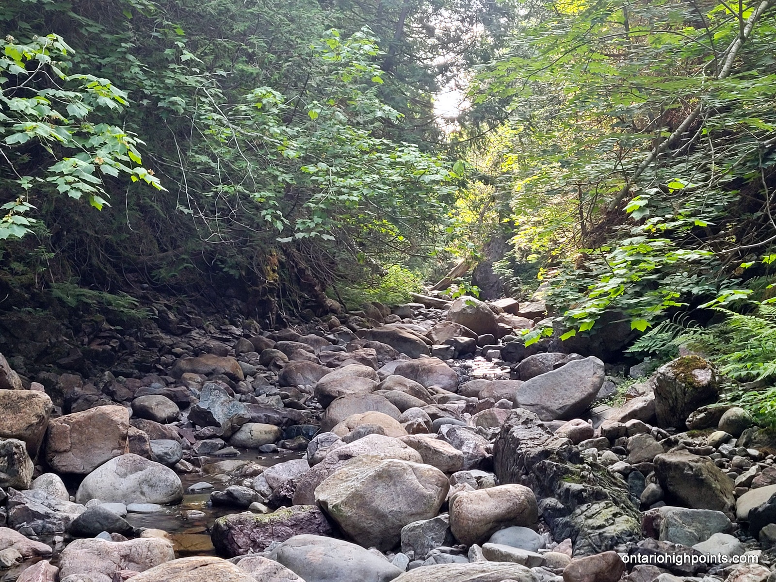
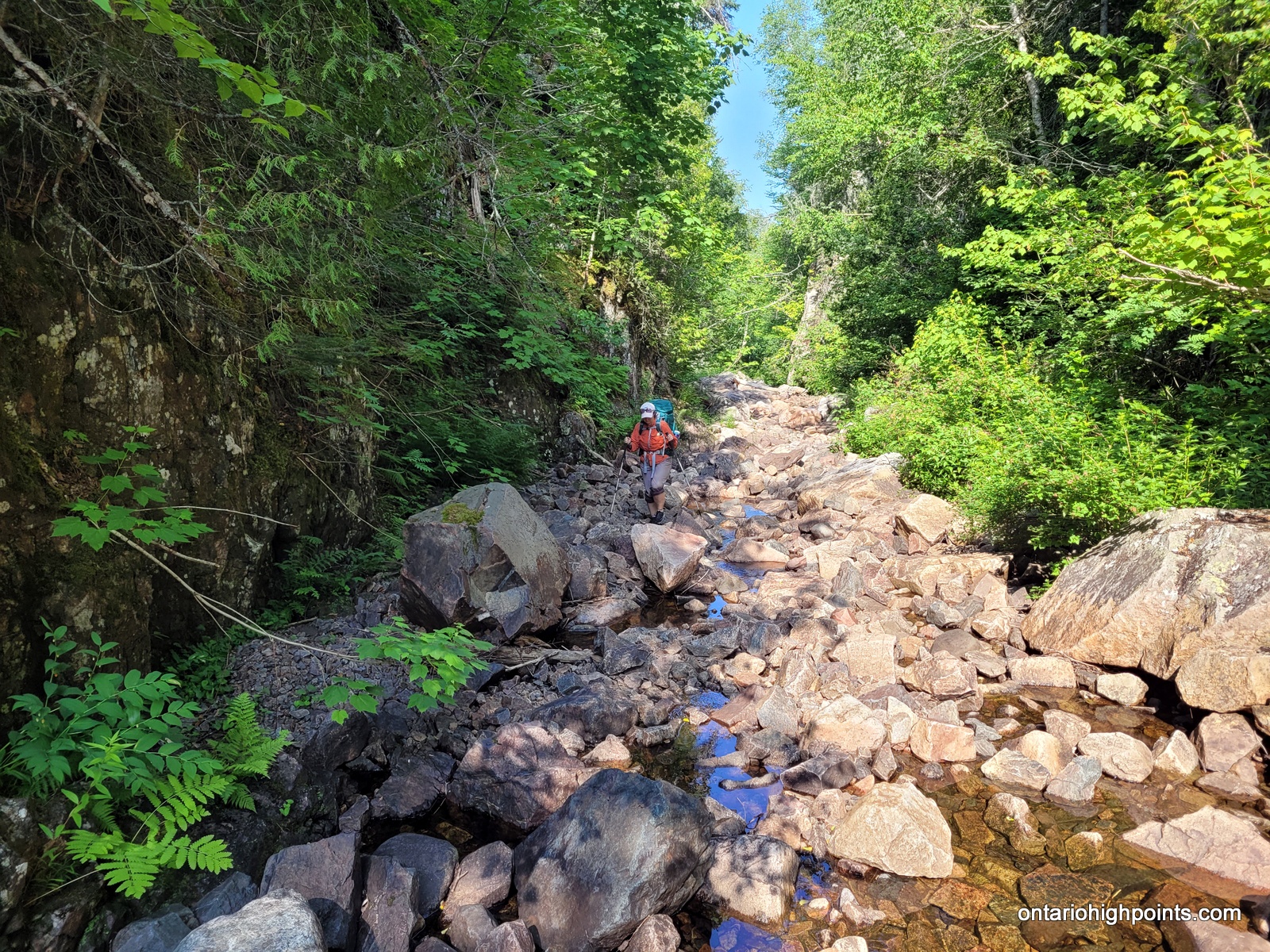
This boulder strewn creek is situated along the base of an often steep canyon and had very little water flow. We made slow, but steady progress up the creek. There were a few obstacles such as waterfalls and deep pools, that forced us to bushwhack up the steep slopes into the woods to get around. Val had a hard time along the creek and fell multiple times, getting many bruises on her legs. I also fell a couple of times, dunking my pack in the creek in the process.
We encountered 5 beaver ponds along the creek, beginning around the 7 km mark. The first 2 were smaller ponds that had breached dams. We were able to skirt around the first pond along its muddy shoreline. However the second pond had a deep pool in a steep narrow slot at its east end which forced us to go up and around through the woods to avoid. The 3rd beaver pond was larger and in a more open area, so luckily we were able to head into the woods and bushwhack around the southern edge of the pond. It was here while checking my GPS for directions, that I heard some buzzing around my legs. I looked down and saw a swarm of wasps and felt the pain of a couple stings in my legs. I yelled to Val to get away and made haste to get away from what I guess was a ground wasp nest that I had unknowingly stepped on.
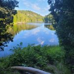
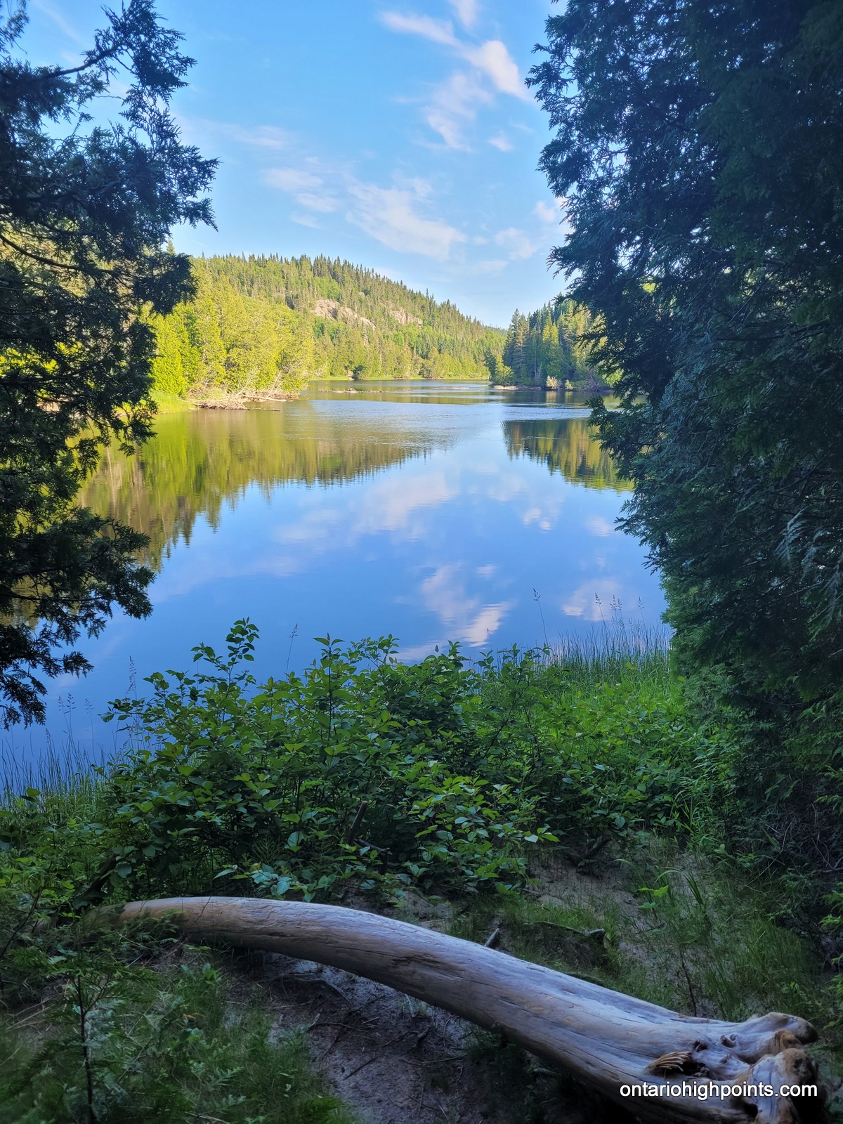
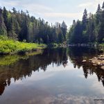
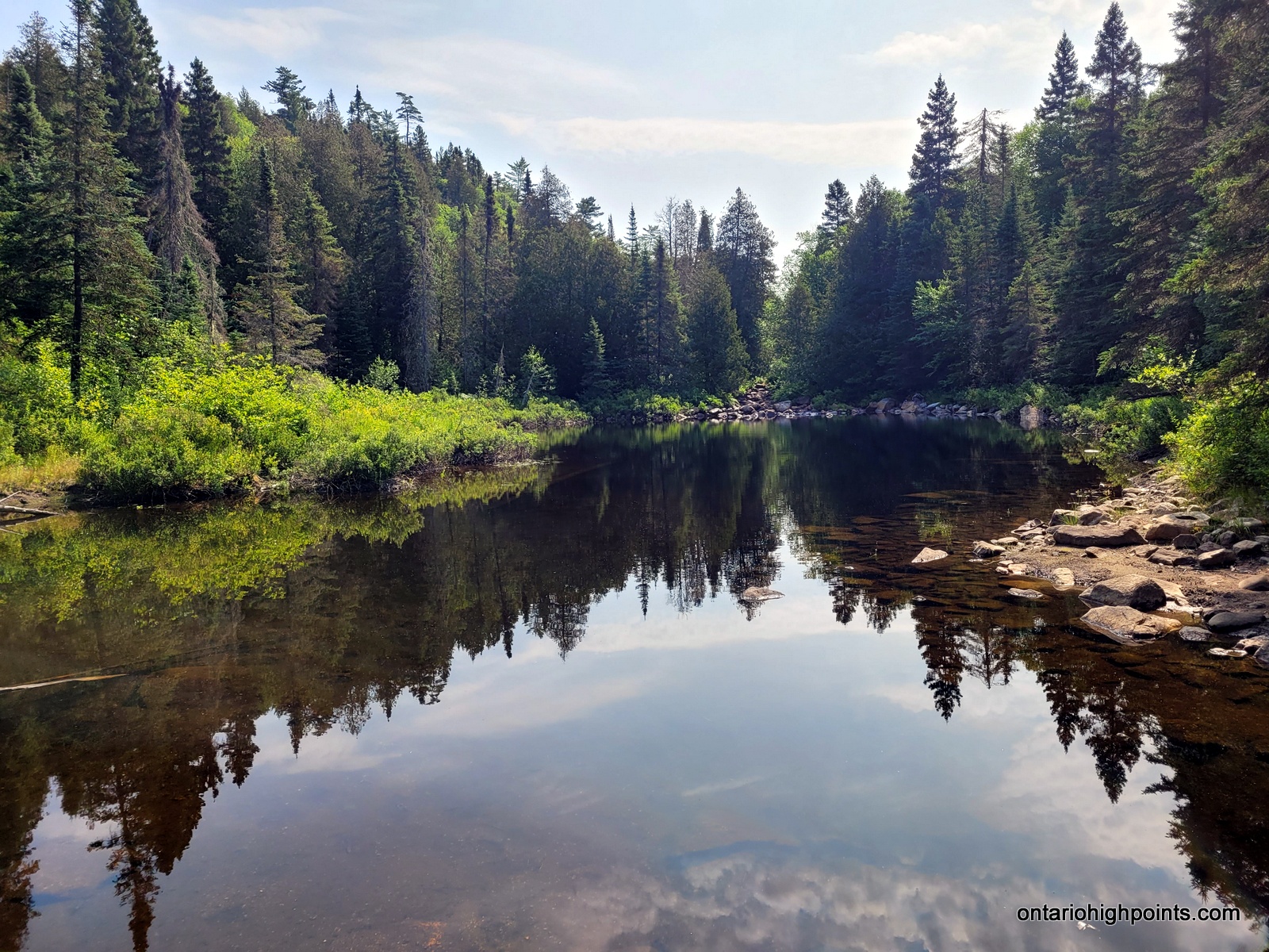
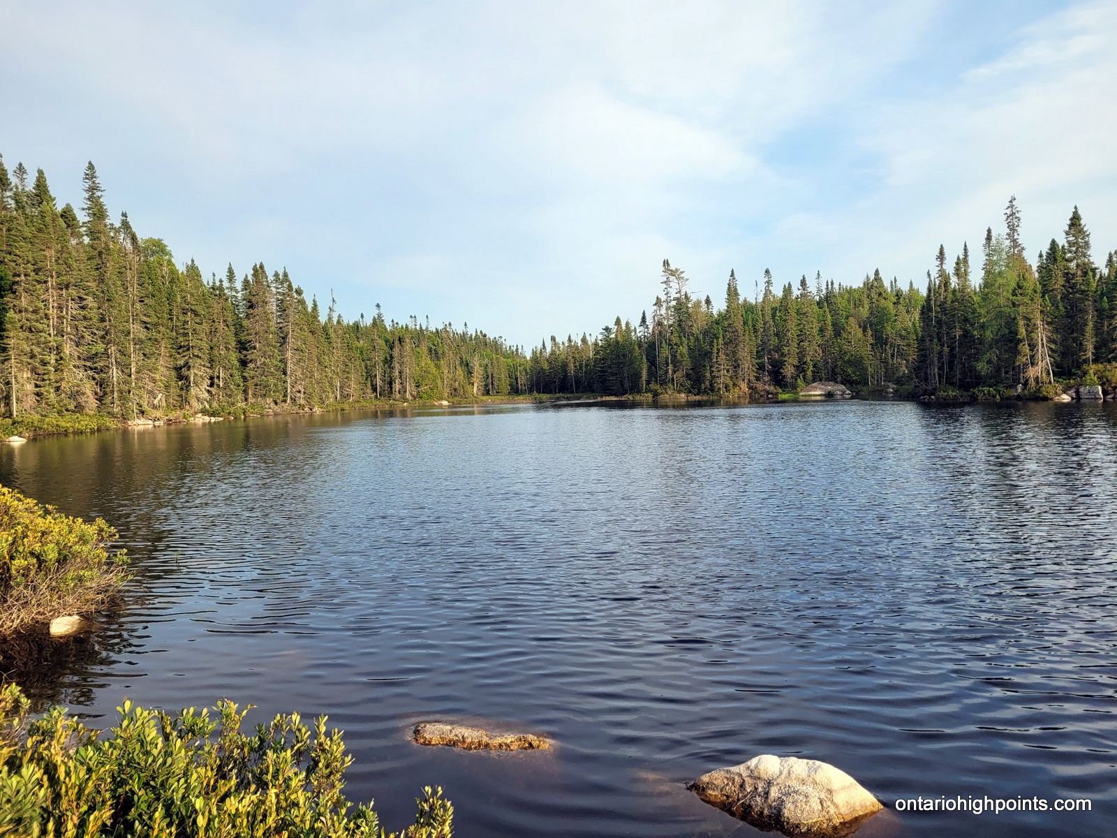
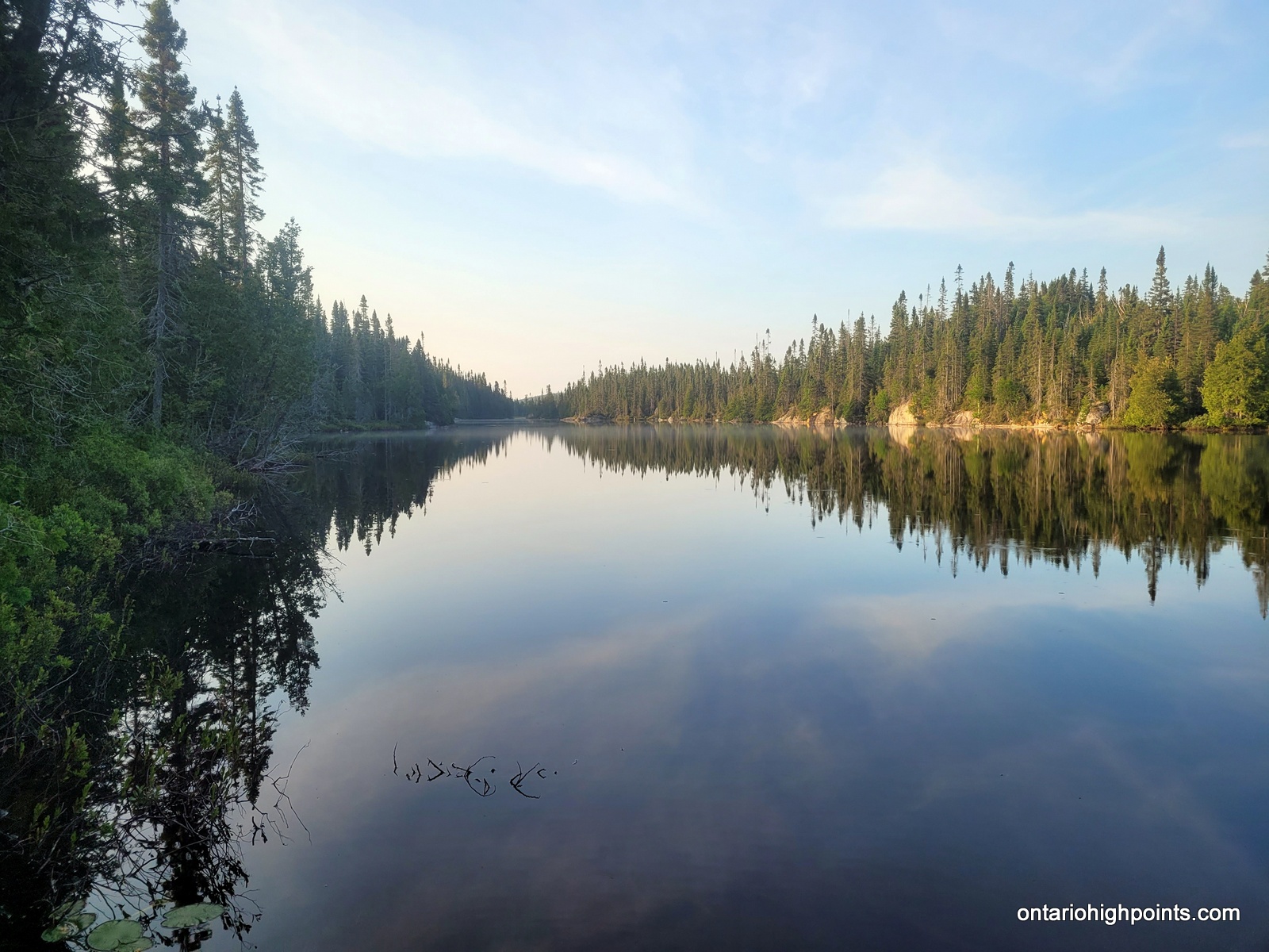
After recovering from the wasp stings and navigating around the pond, we rejoined the creek and made our way to the final 2 ponds, the 4th (small) at the 10 km mark, and the final (large) at 10.5 km. Beyond this point, the route is more pond than creek, so the plan was to depart the creek and begin the southeast bushwhack towards Tip Top Mountain. We had the option to camp here, but as we still had time and found no good place to put up a tent we opted to keep going.
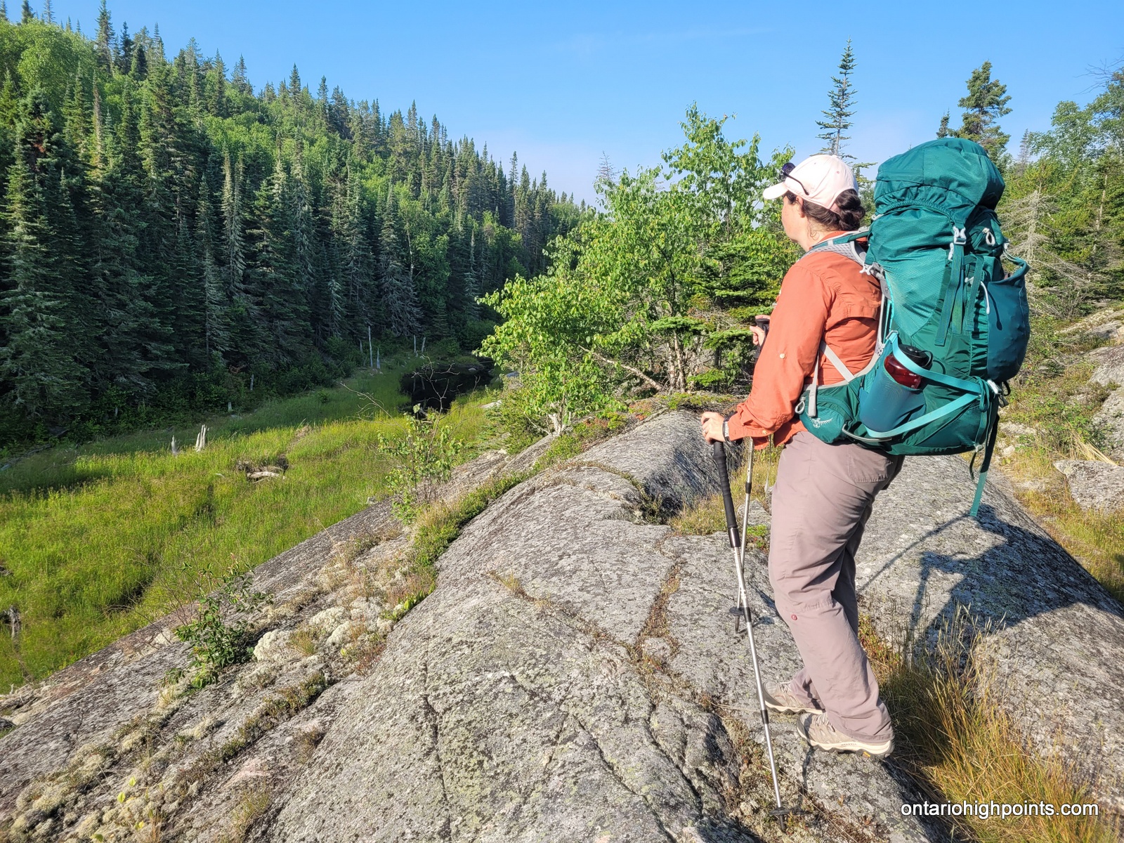
We hiked along the southern edge of the 5th beaver pond, turned south to parallel a marshland (attached to the pond) and then ascended up a chute/gully leading up to a ridge. We stopped at a clearing to take in some views and then descended off the ridge, heading southeast towards a small lake.
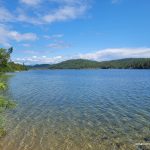
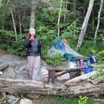
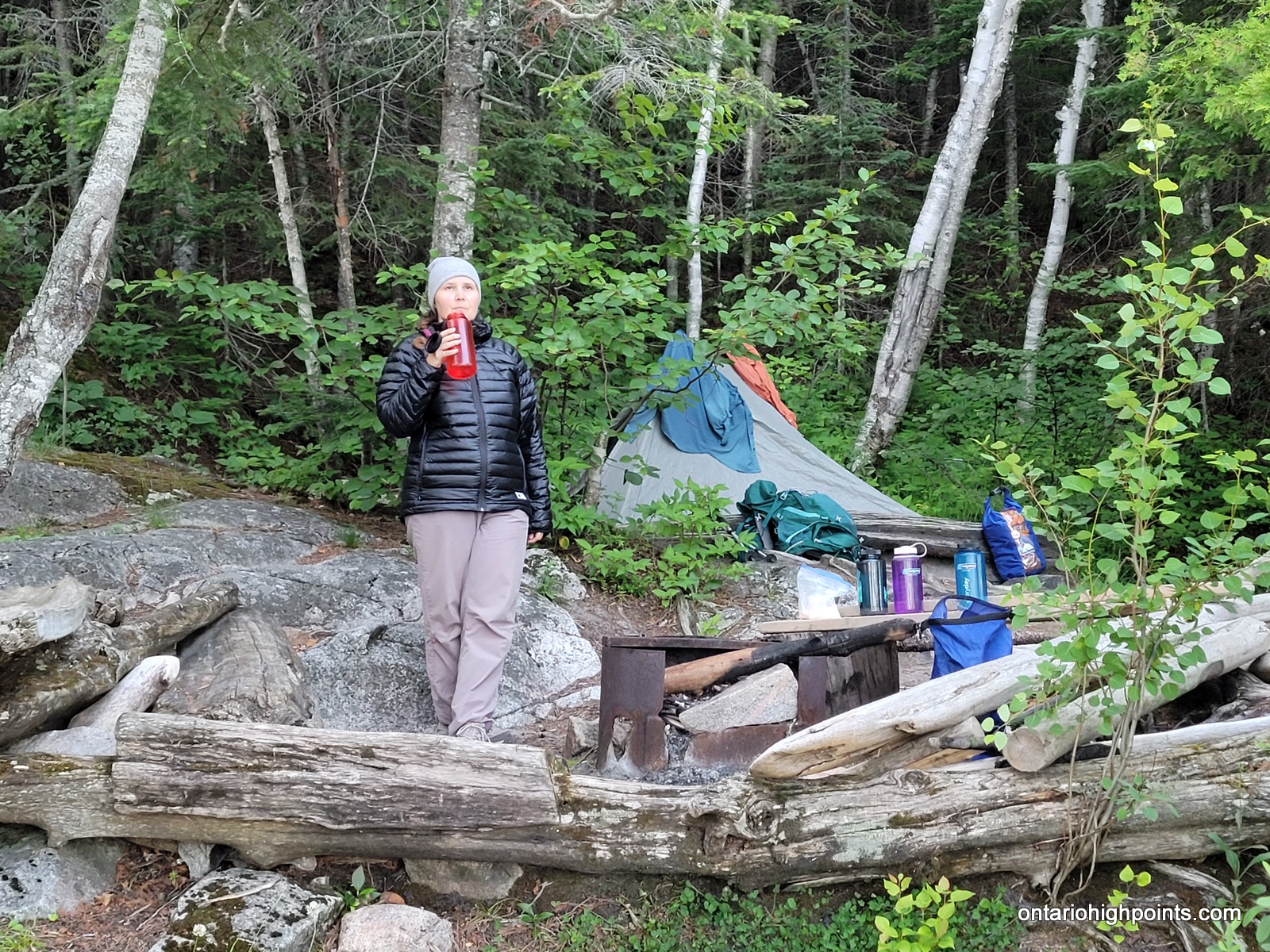
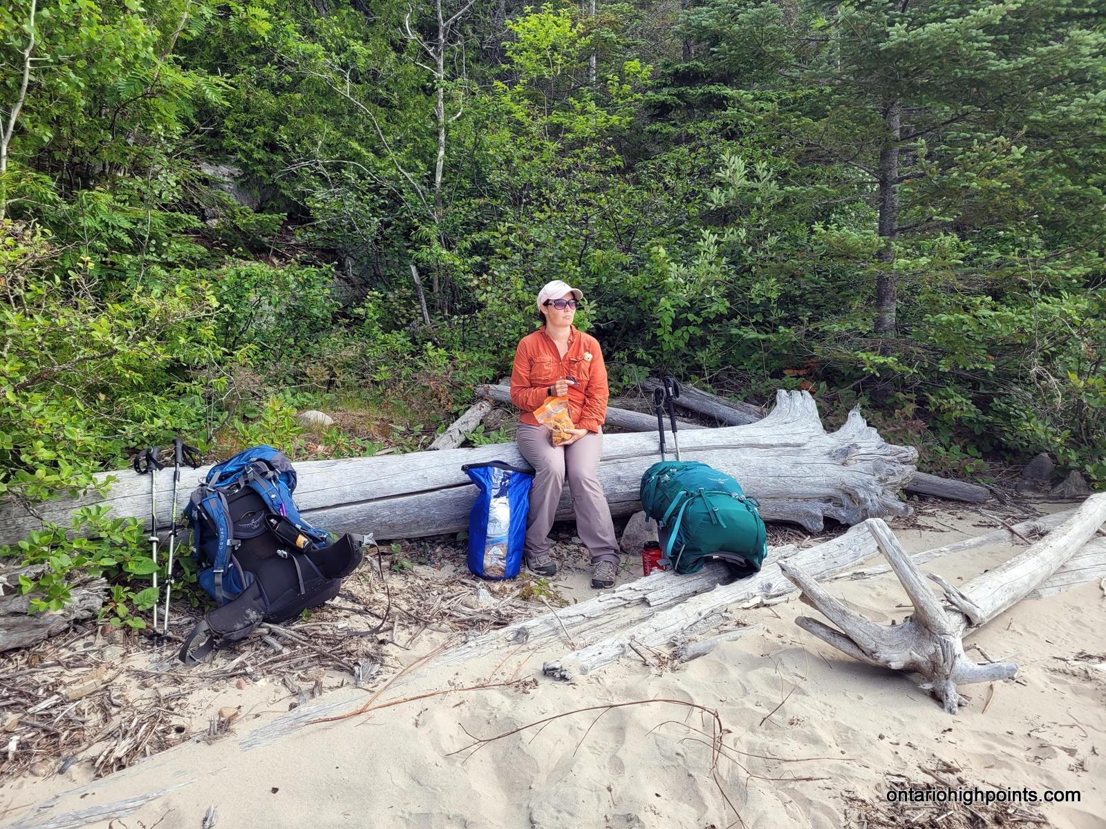
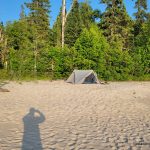
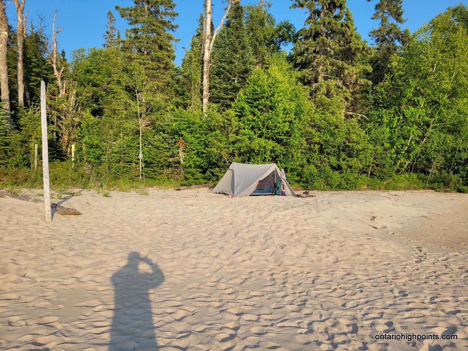
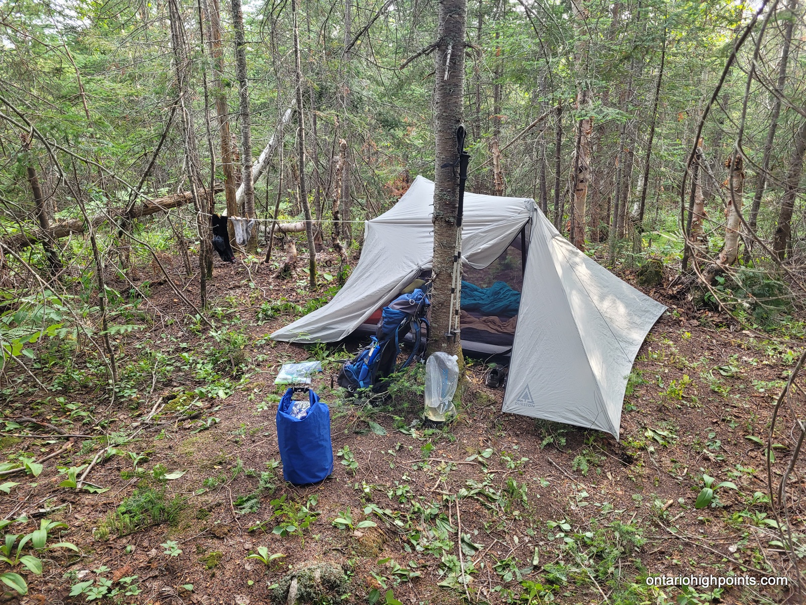
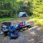
The small lake ended up being another large beaver pond. We decided to look for a campsite here. Potential tent sites at the lake edge I had identified from satellite photos ended up being no-gos, but we eventually did find a flat spot in the woods on the north side of the pond, about 40 meters from the water. I cleared some fallen branches and had camp and a bear hang set up by 5:30 PM. Even though the ground under our tent had some protruding roots, we found our air mattresses did a good job at making our sleep comfortable.
-

- Starting the hike up the White Gravel River
-
- Steep walls along the river/canyon
-
- Hiking up the WGR tributary
-
- One of several pools that had to be waded through
-
- Bouldery river bed
-
- Hiking up the WGR tributary river bed
-
- Standing in the WGR tributary
-
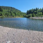
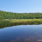
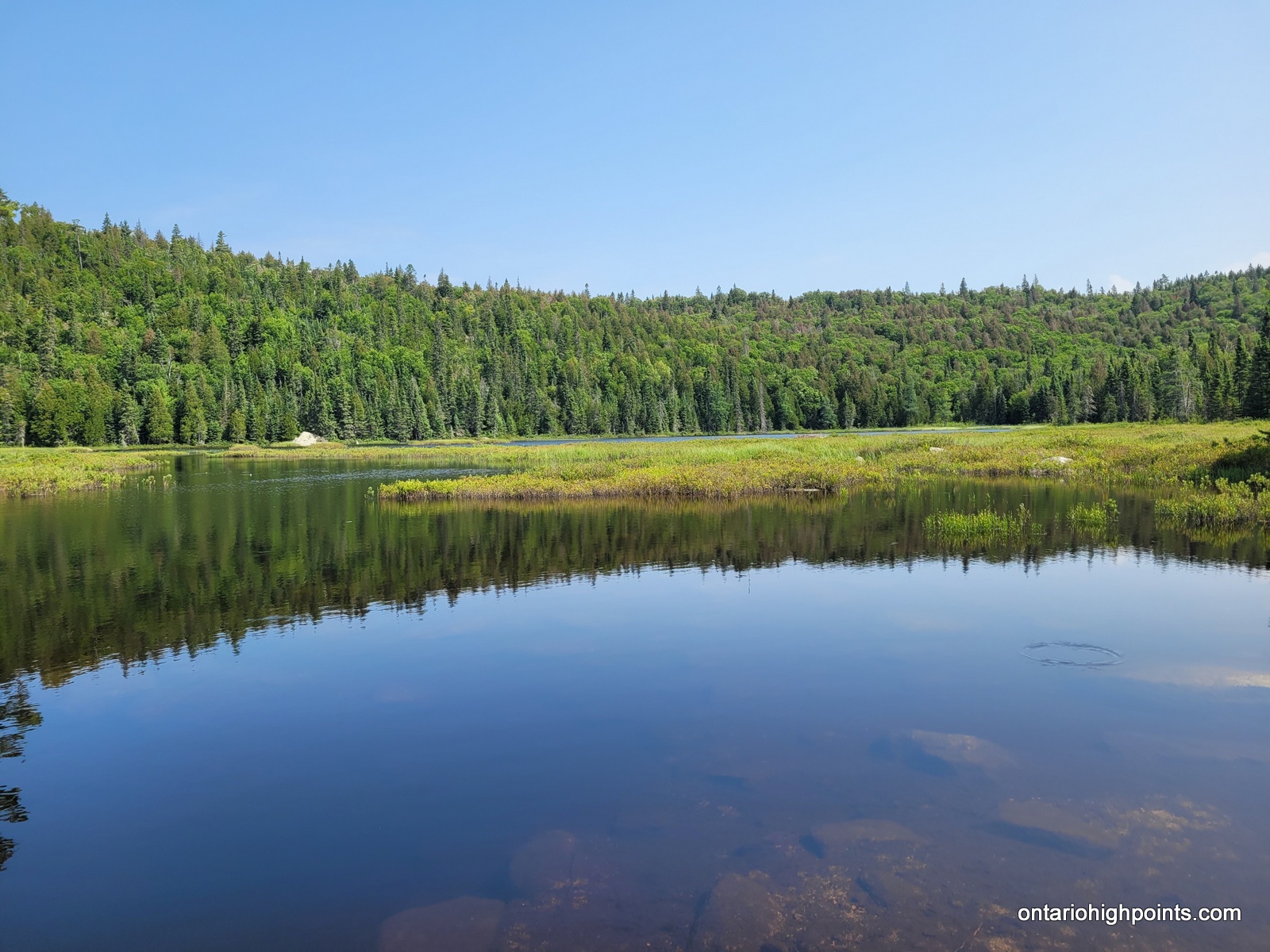
- One of several ponds along the WGR tributary route
-
- Large beaver pond that we had to bushwhack around
-
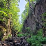
- Steep canyon walls along the WGR tributary
-
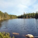
- The last pond we visited along the WGR tributary route
-
- Climbing up the ridge
-
- Views north from the ridge
-
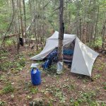
- Our improvised campsite
-
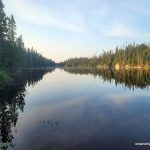
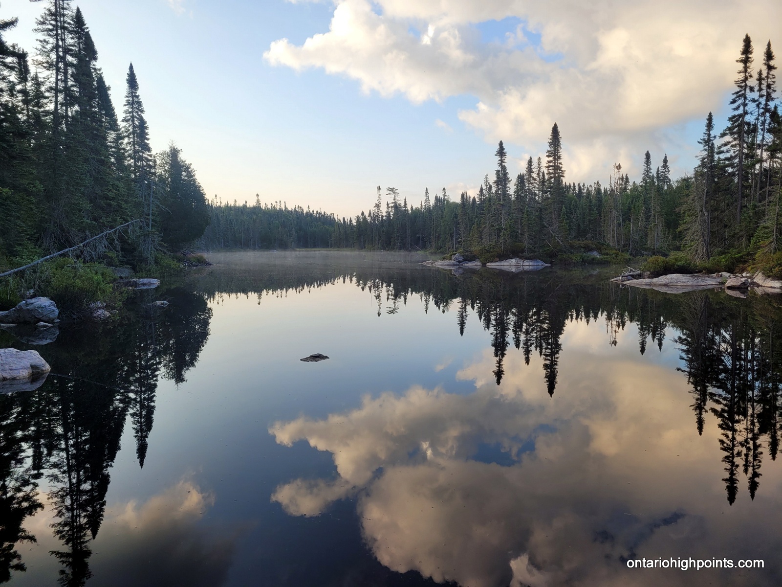
- Unnamed beaver pond we camped at
Day 6 – July 23, 2023 – Bushwhack to Tip Top Mountain with return to Beaver Pond Camp:
11.3 km – Bushwhack to Tip Top Mountain with return to Beaver Pond Camp
7:17 AM – 2:40 PM, 7h 23m (moving time: 4h 58m)
(Arrived at summit of Tip Top Mountain at 10:34 AM)
Total Ascent: 418m / Total Descent: 436m
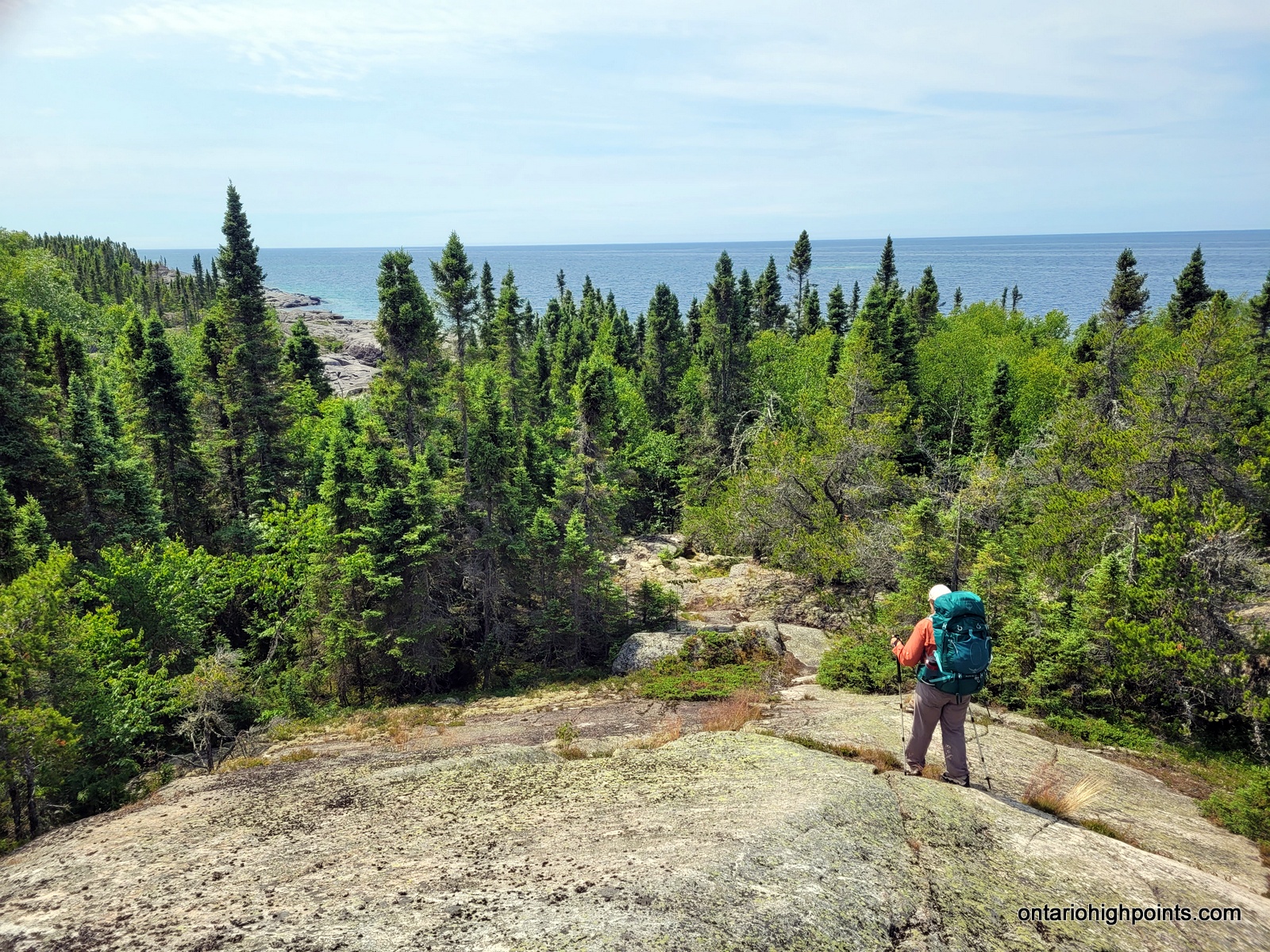
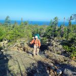
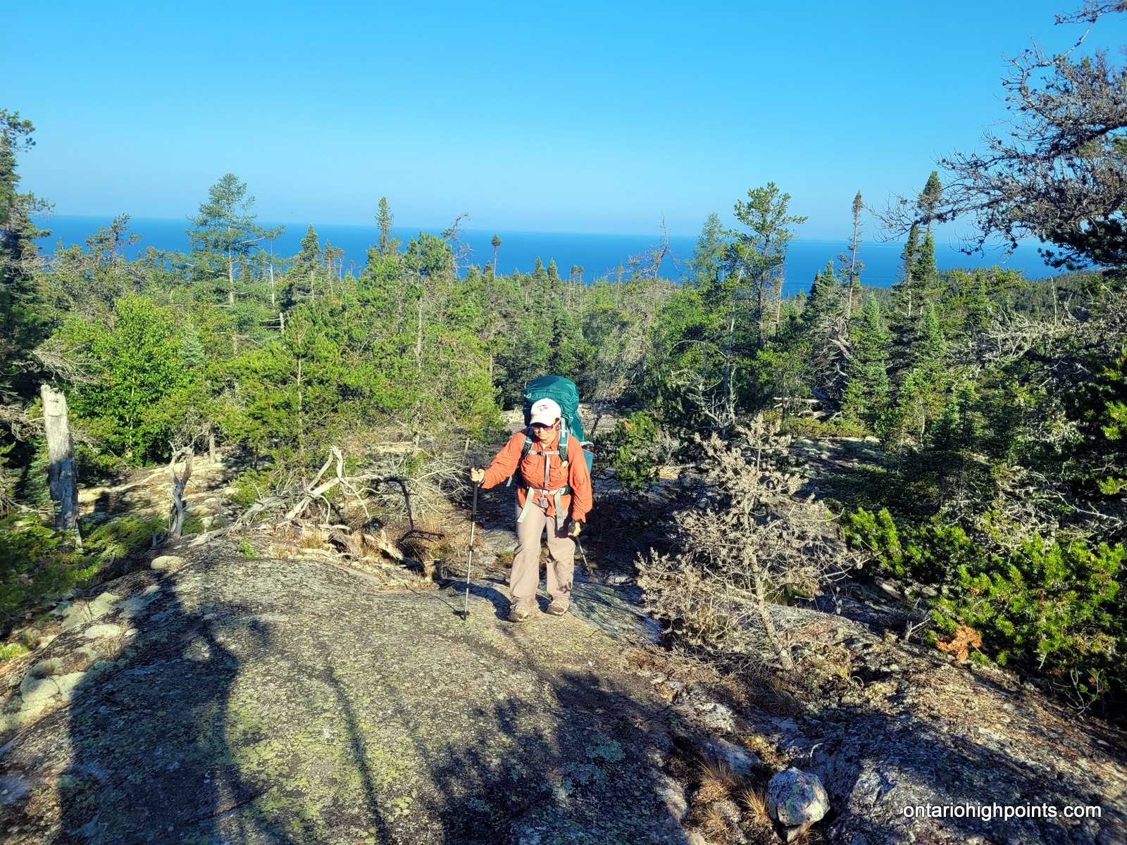
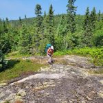
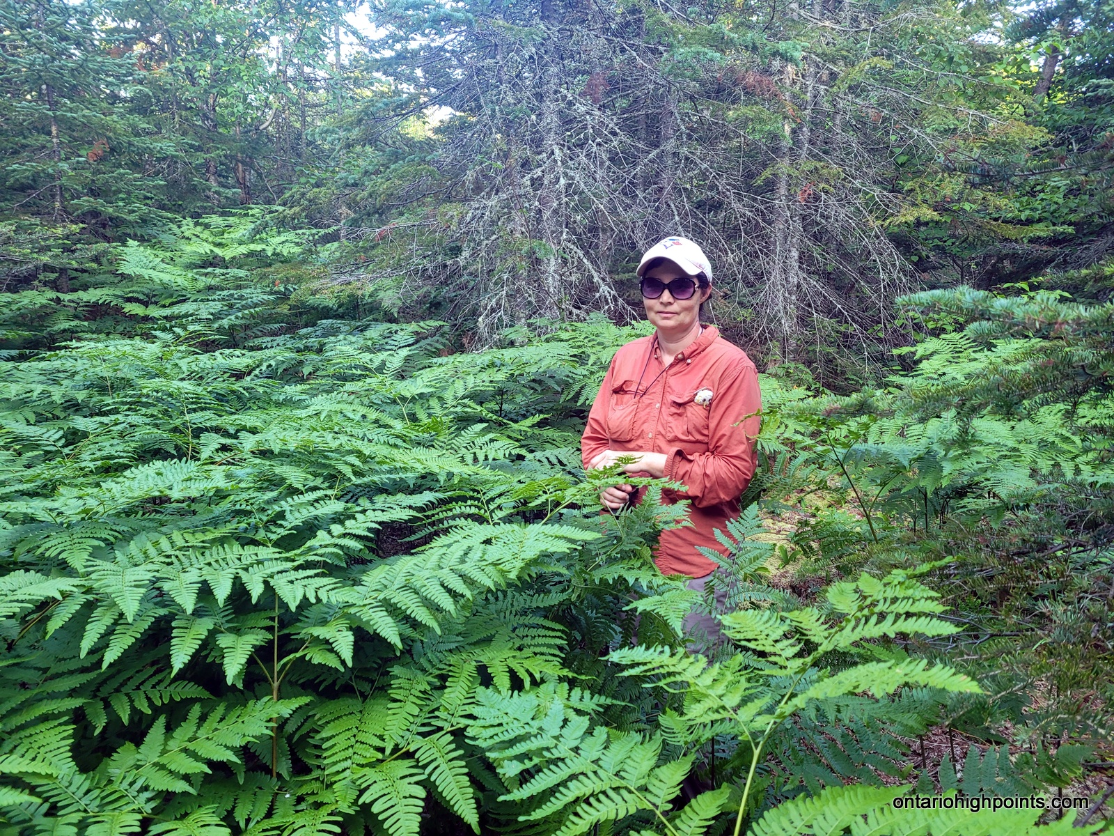
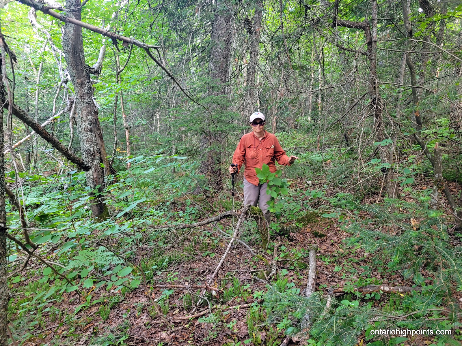
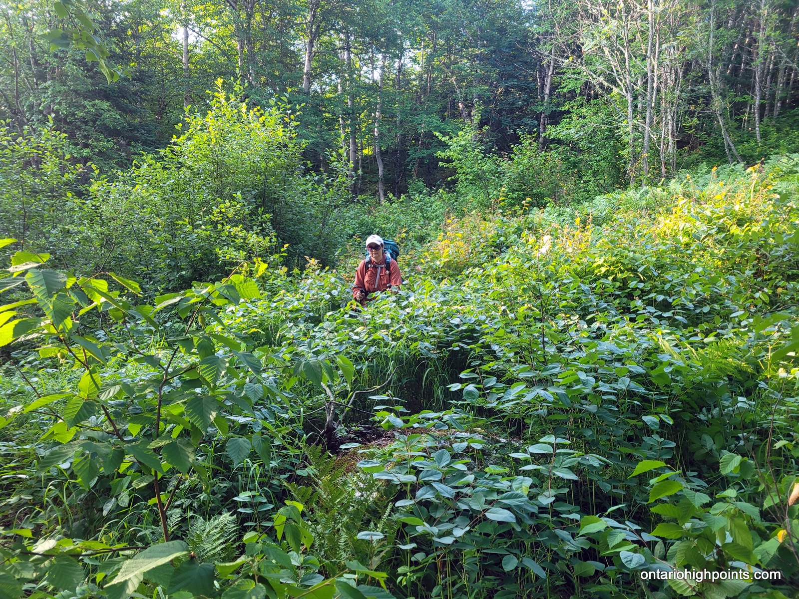
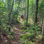
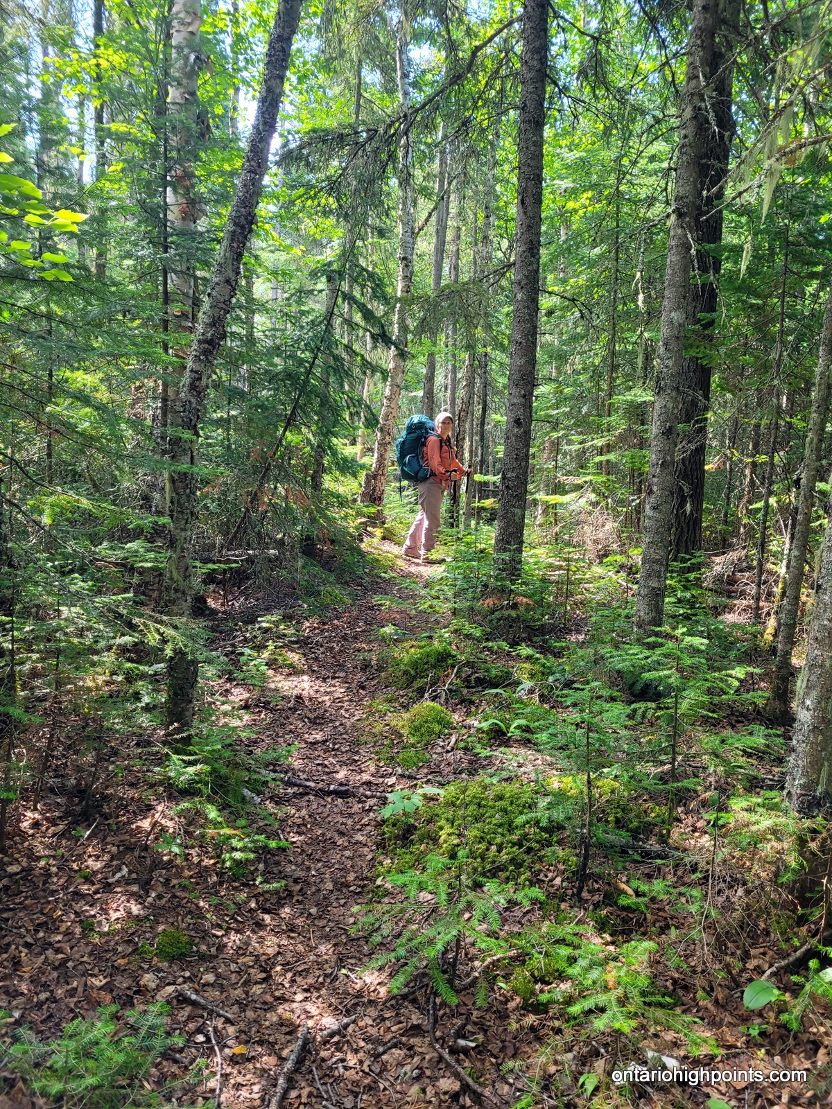
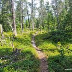
Summit day! Today we would only need to carry the bare essentials as we would be returning to our campsite. Val had the day off carrying a pack, and I carried enough water for both of us (4 liters). We departed our campsite at 7:15 AM and bushwhacked southeast traversing along the steep slopes near the pond. Bushwhacking along the slopes was difficult as the fir and spruce trees were tightly spaced, but after moving out to more level ground I found that the bushwhacking was fairly typical for Northern Ontario — similar to other bushwhacks in Northern Algoma.
Beyond our pond, we paralleled a line of lakes (which are headwaters of the North Swallow River) and then headed southeast towards the Tip Top Mountain ridgeline. There were many fern groves along the route which we were able to take advantage of for ease of passage. The forest is mostly a mixed deciduous-coniferous boreal forest — we bushwhacked under a canopy of mostly birch and fir trees.
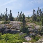
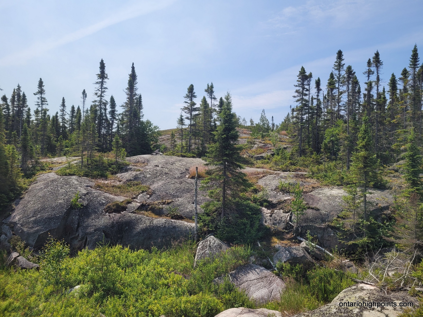
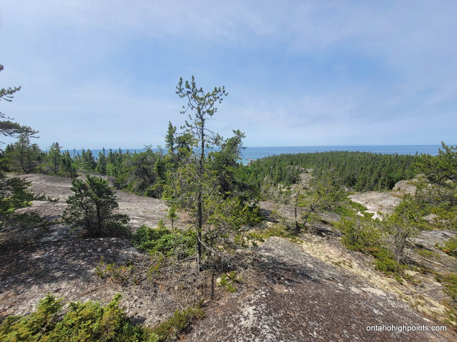
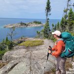
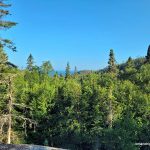
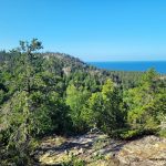
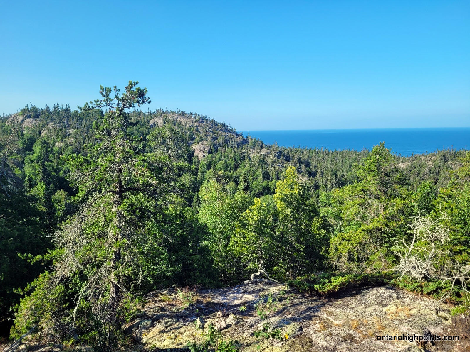
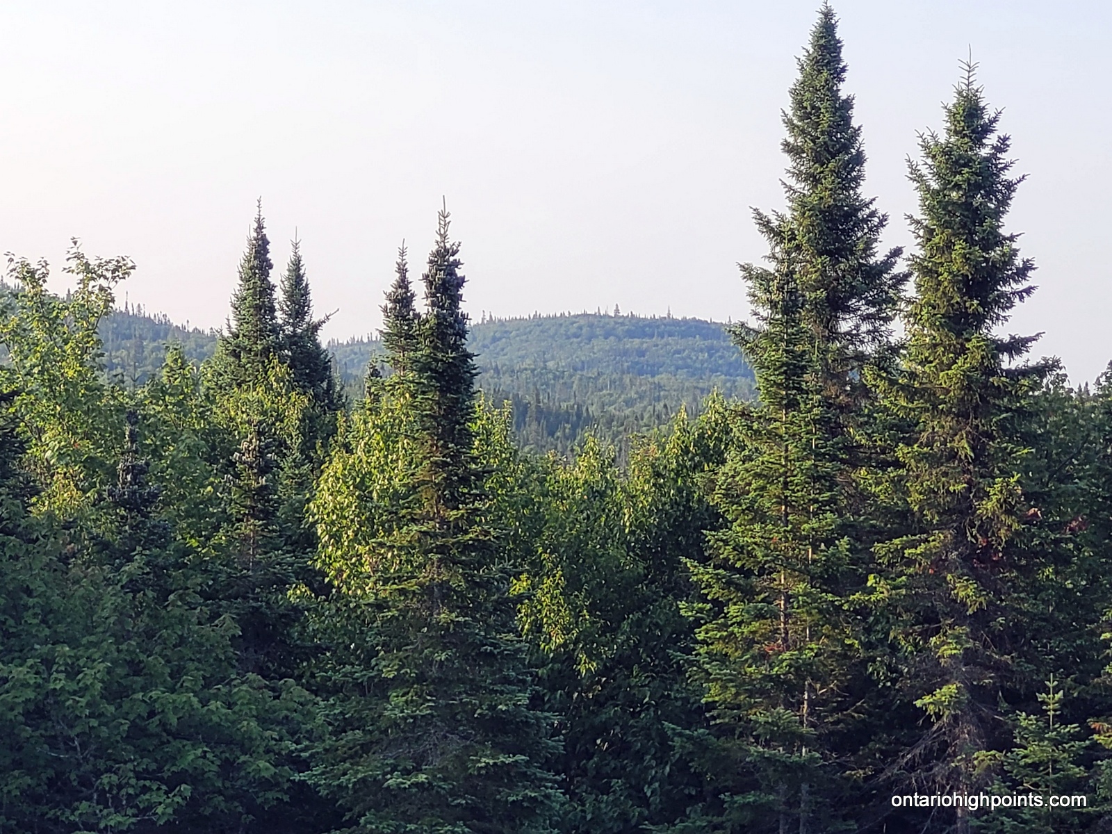
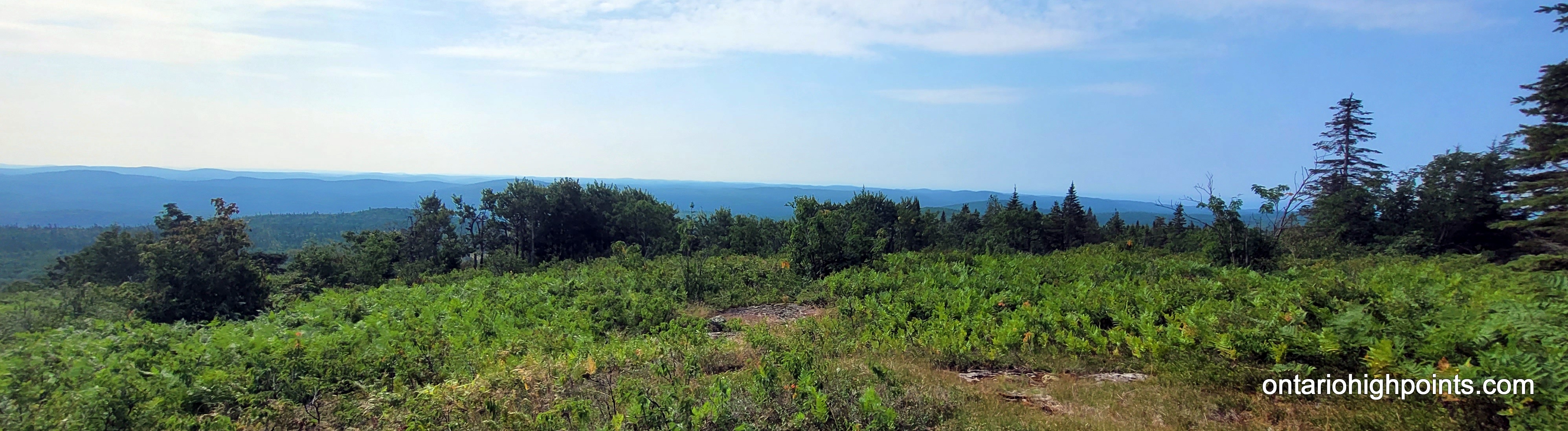
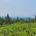
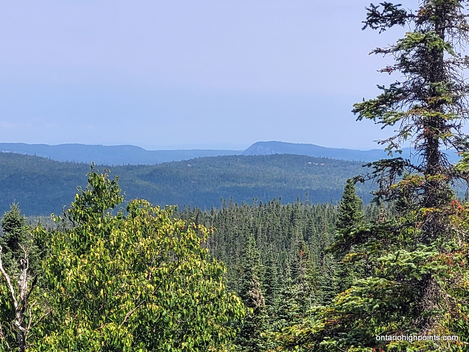
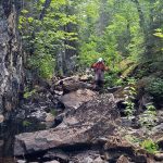
As we started to ascend up the ridge, we encountered a few rock clearings where we began to get some decent views. Nearer to the summit, we stumbled upon a steep crevice blocking our route. We managed to find a way to scramble down and back up the far side without too much diversion.
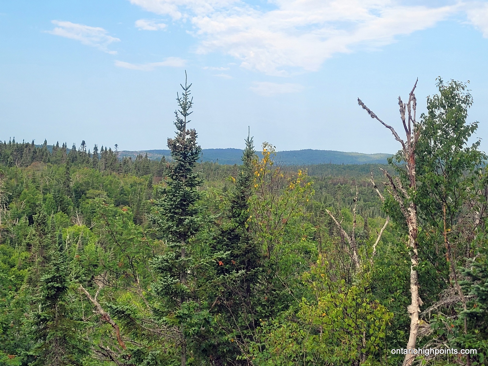
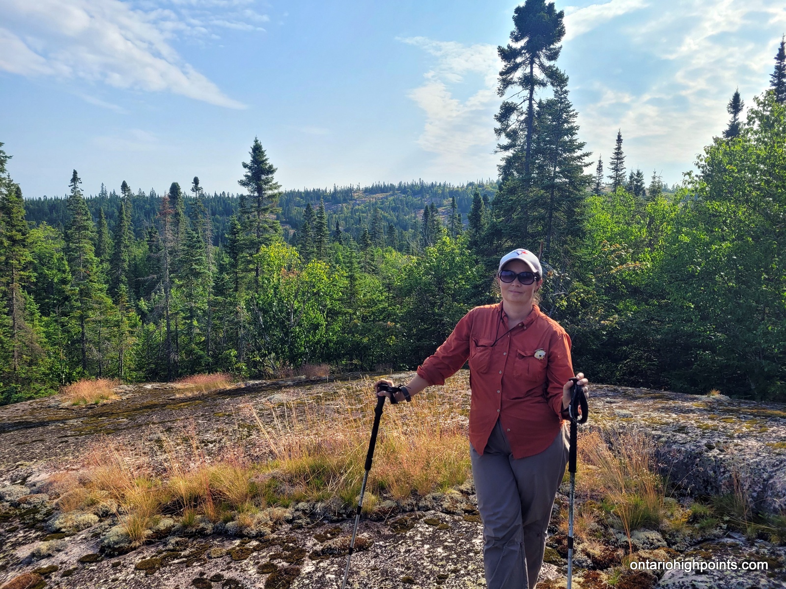
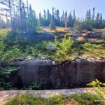
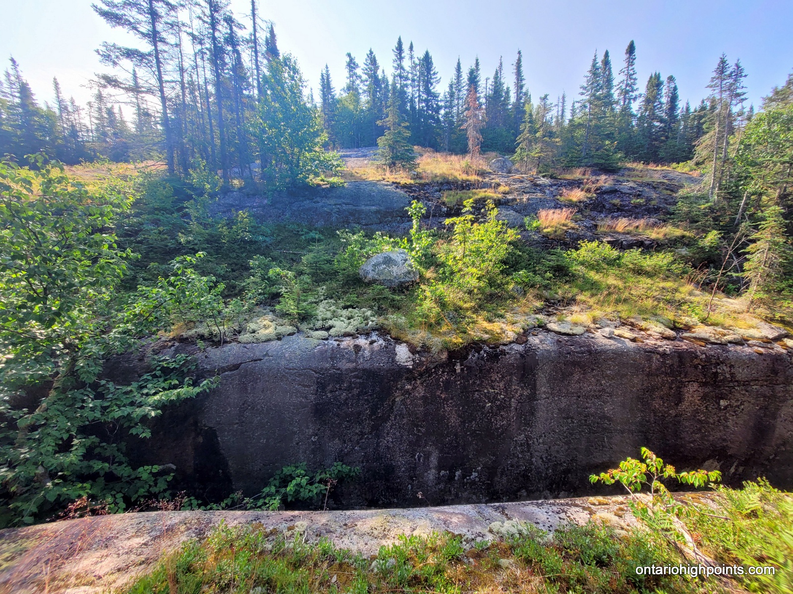
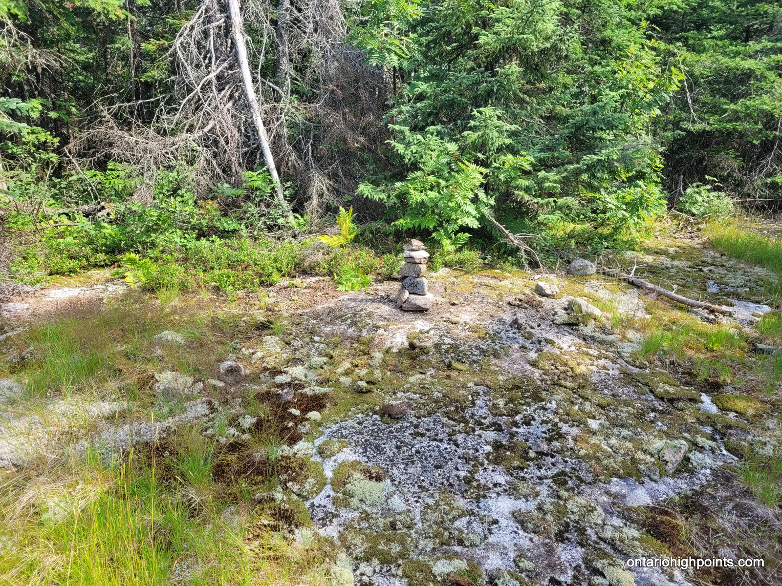
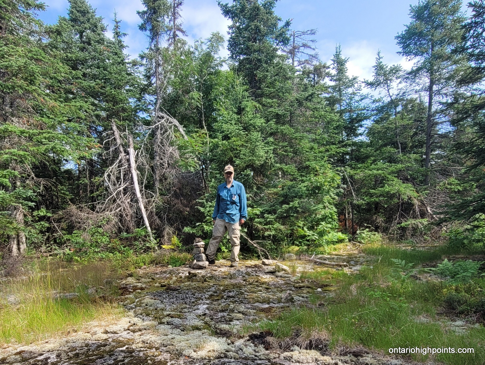
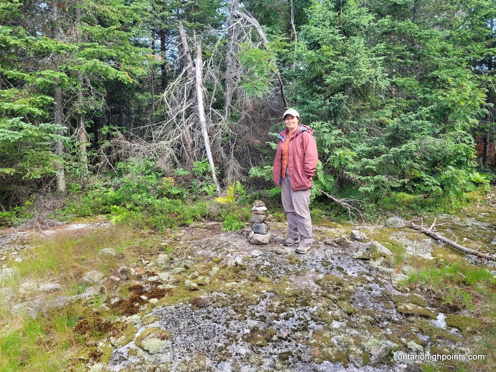
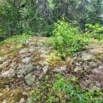
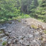
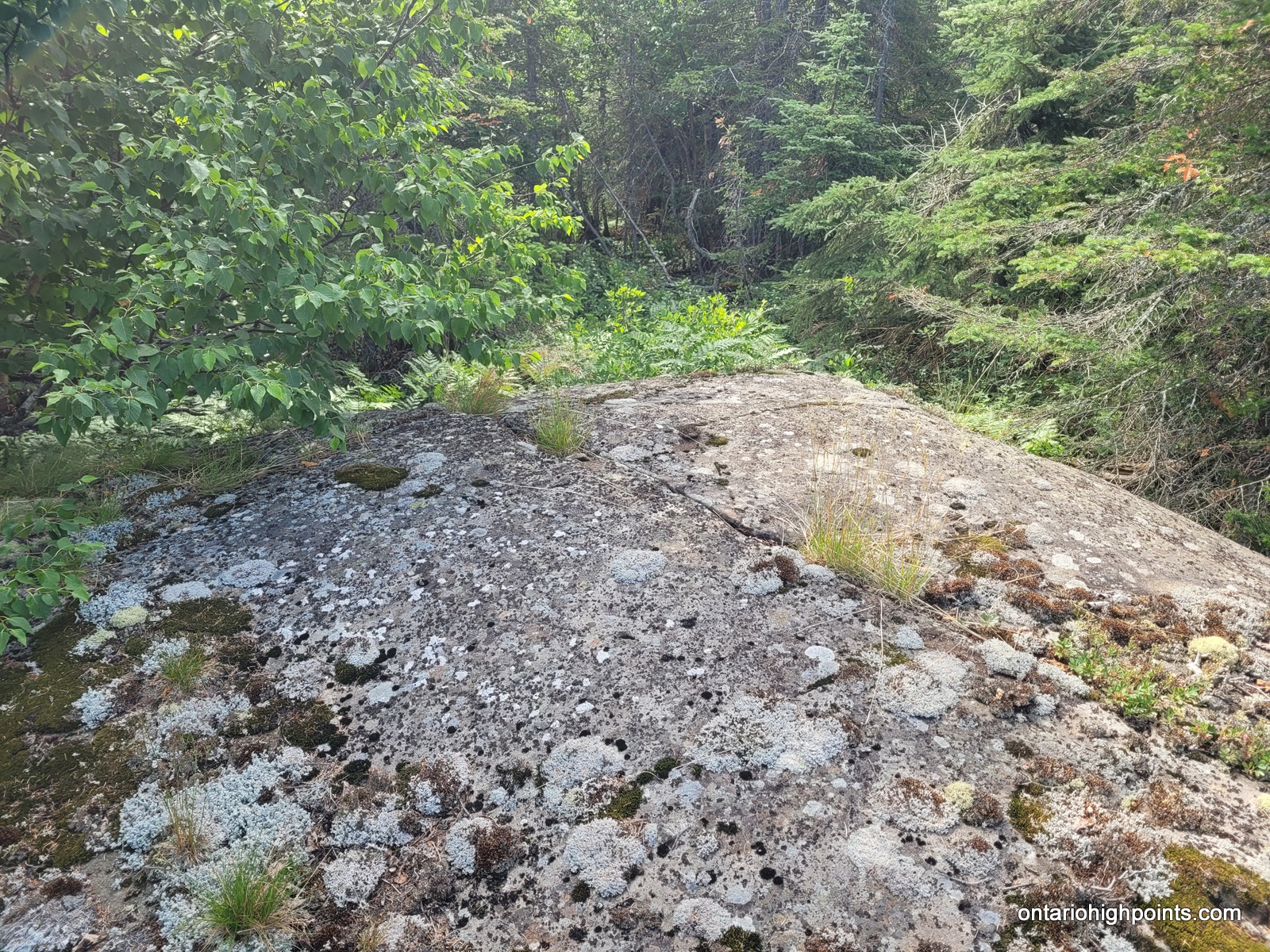
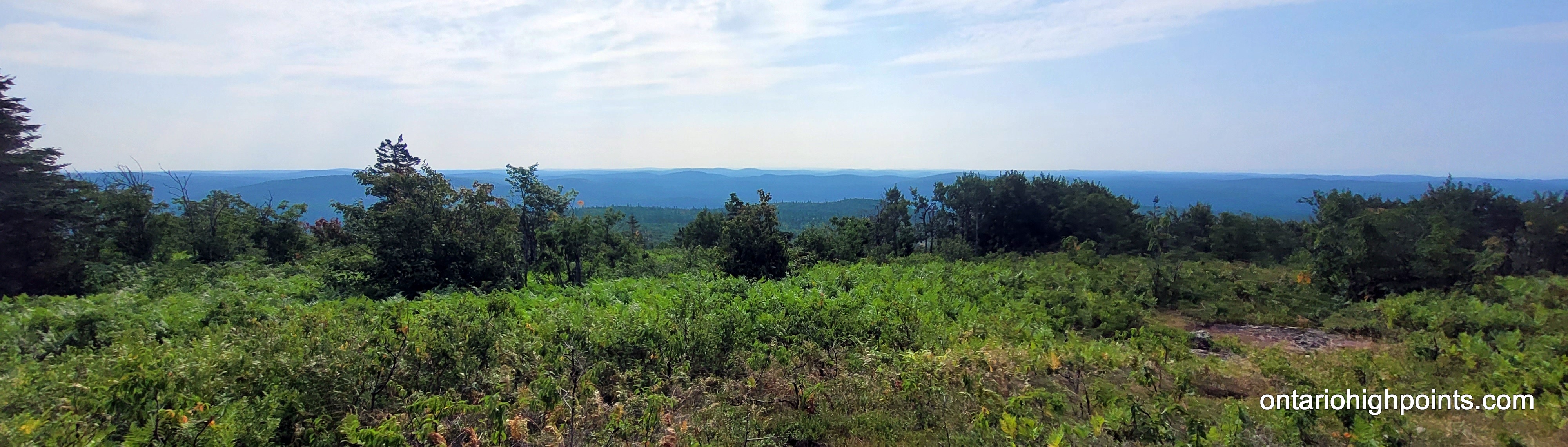
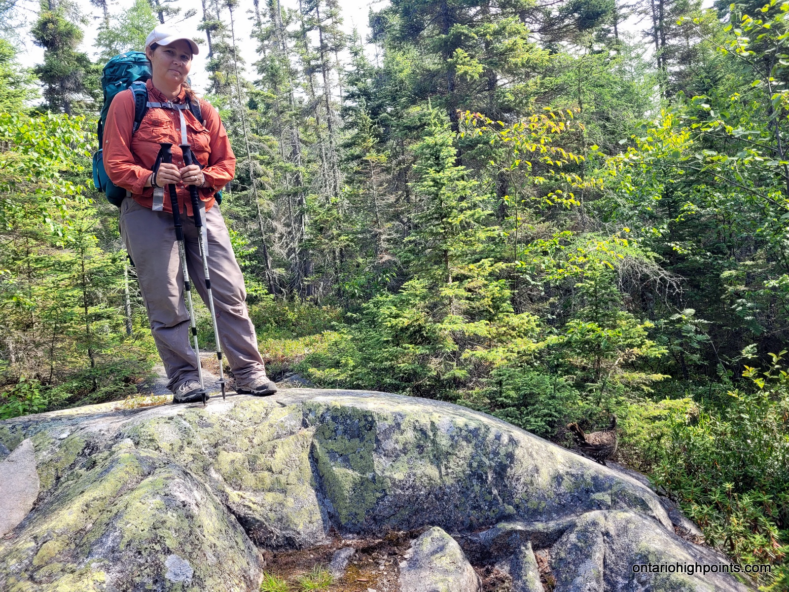
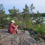
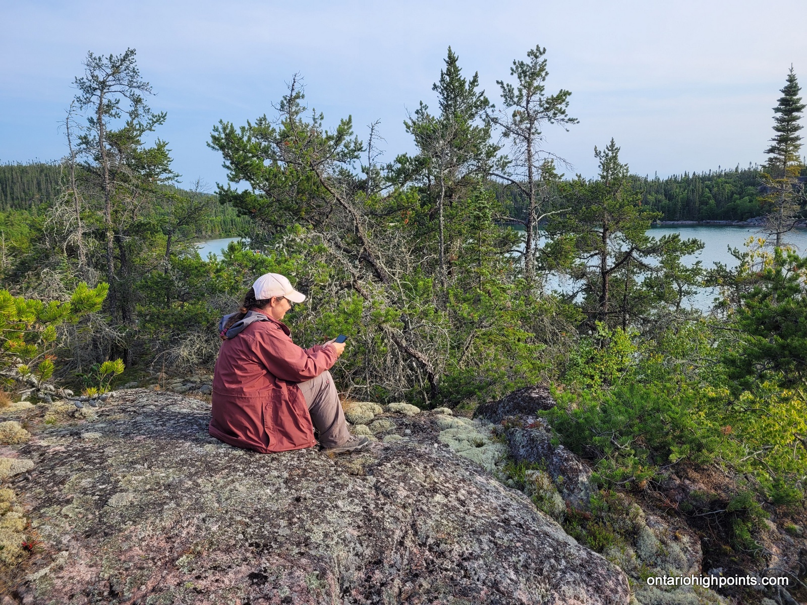
We reached the summit at 10:30 AM. There is a small rocky clearing at the summit but no views here as the summit is mostly forested. I set out to explore the summit area as it is a large area and I wanted to make sure I found the actual high point. I found a couple of candidate high points. There were a couple of boulders near the official summit coordinates and then 2 rock outcrops 50 and 70 meters northwest. I’m fairly sure one of these 4 is the highest point. At the official summit coordinates, I found some rusty metal spikes, evidence of a previous visitor, perhaps a surveyor.
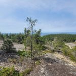
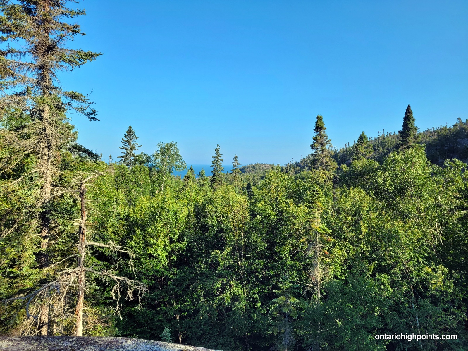
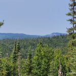
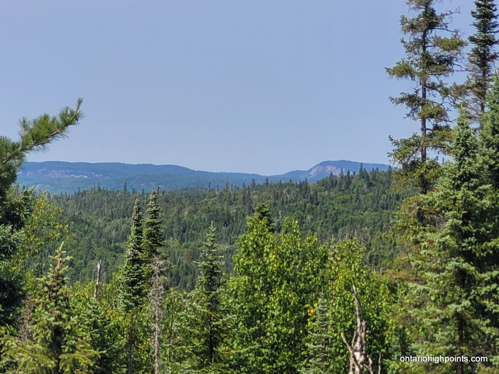
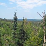
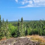
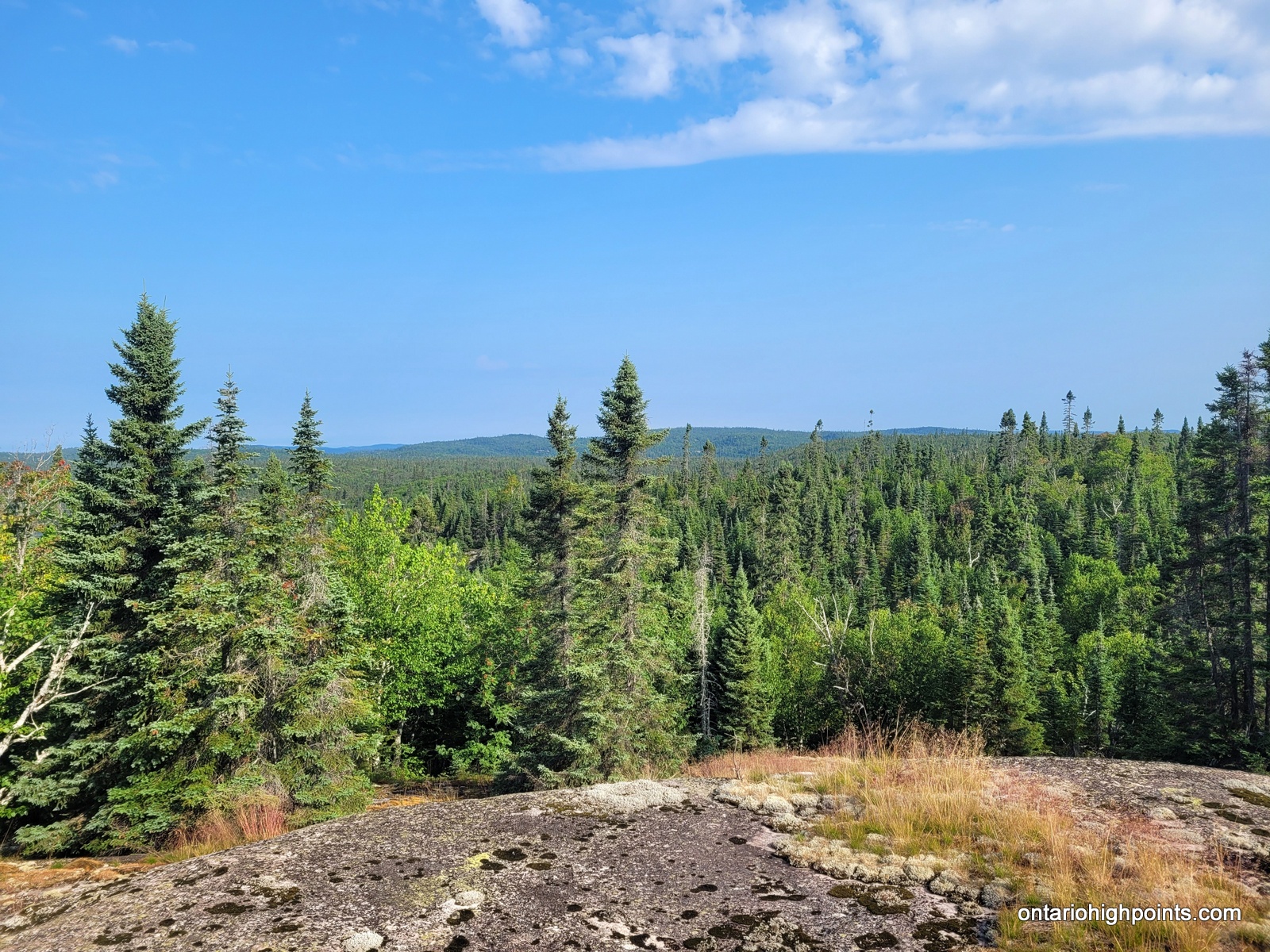
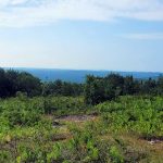
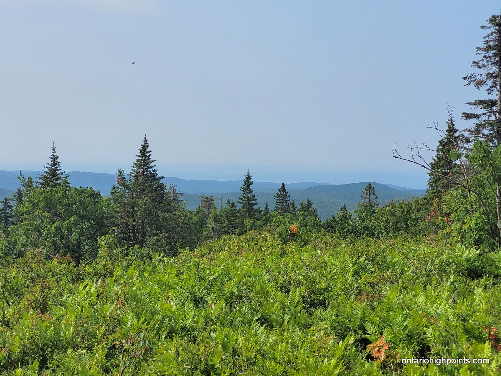
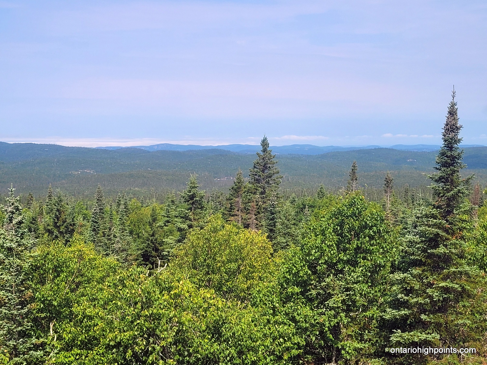
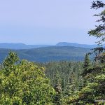
During my summit exploration, I found a good viewpoint about 80 meters south of the summit. It was a little hazy but we still got good views of the southern hills and could make out Lake Superior to the southwest.
Val got the chills while waiting around for me which was a bit worrying at the time. (Nothing would come of it). We departed the summit at 11:30 AM, but stopped at my waypointed ‘Summit High Point Candidate #4’ as we had cell phone reception. Val contacted Doug at North Shore Adventures and arranged our water shuttle pickup.
On the way back Val fell a couple more times and wrenched her right arm. It would be a vitamin I (Ibuprofen) kind of day. We followed our track back down to the line of lakes and then back to our beaver pond campsite. We were tired and bruised, our clothes were torn, but we had made it.
We enjoyed a hearty supper and afterwards I spent a bunch of time sewing up pants and backwashing my water filter. The tannin rich beaver pond water was really hard on the filter and had reduced its flow quite a bit. (Even after filtering, I highly recommend Gatoraid/flavouring for tannin rich pond water).
-
- Next pond over (headwaters of the North Swallow River)
-
- One of many fern groves on route
-
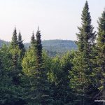
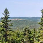
- Views of a nearby hill (Hill 572)
-
- Second pond over (headwaters of the North Swallow River)
-
- Bushwhacking
-
- First Views
-
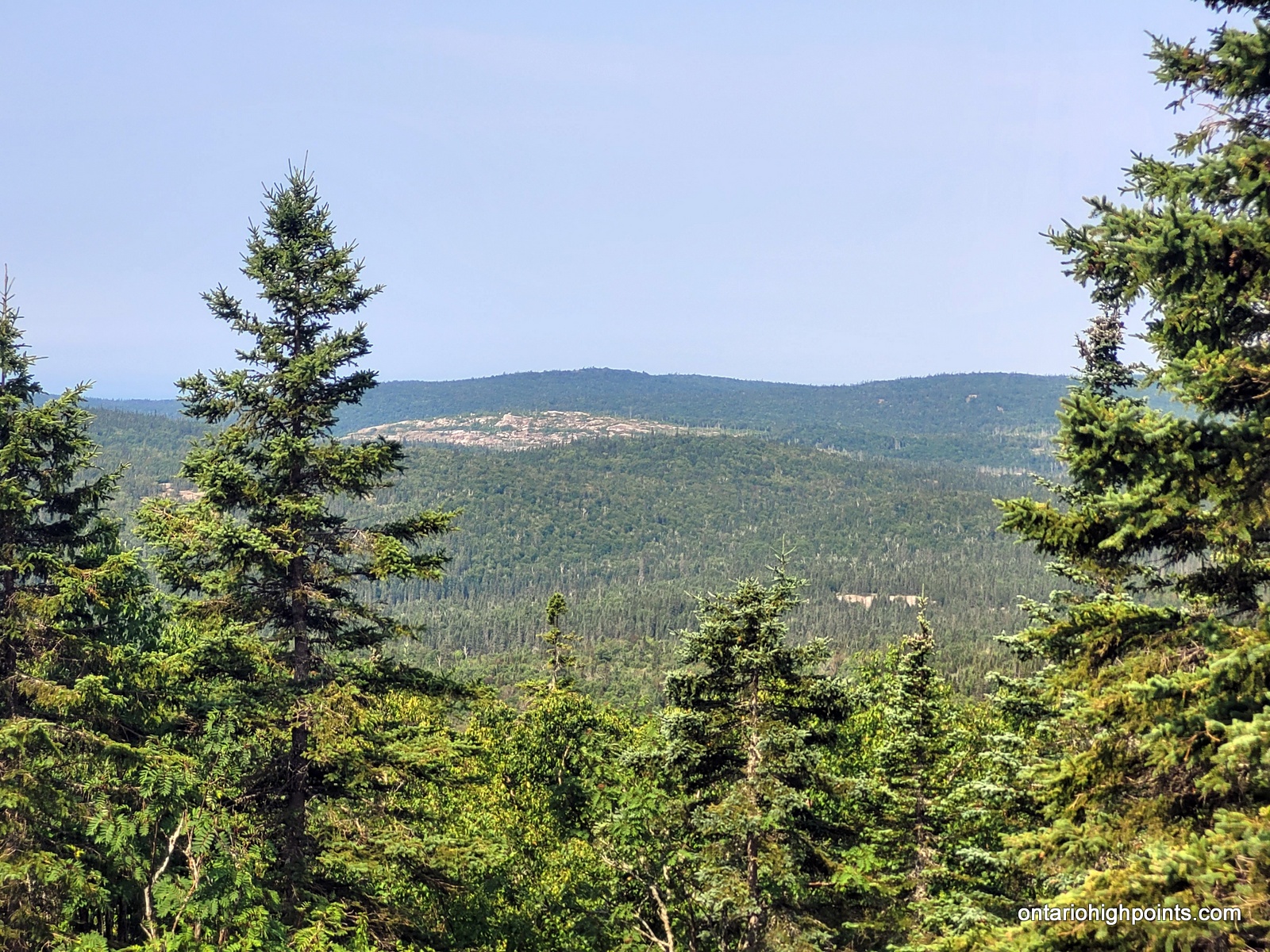
- View west towards Hill 600
-
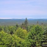
- Views northwest
-
- A crevice we had to go around
-
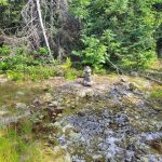
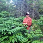
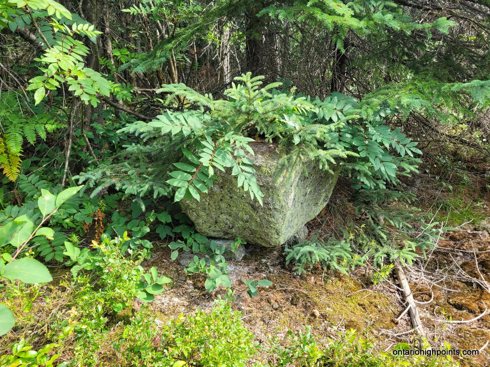
- The summit cairn
-
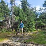
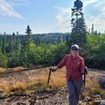
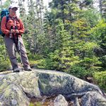
- Standing at the summit
-

- Val at the summit
-
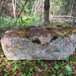
- Alt summit candidate #1
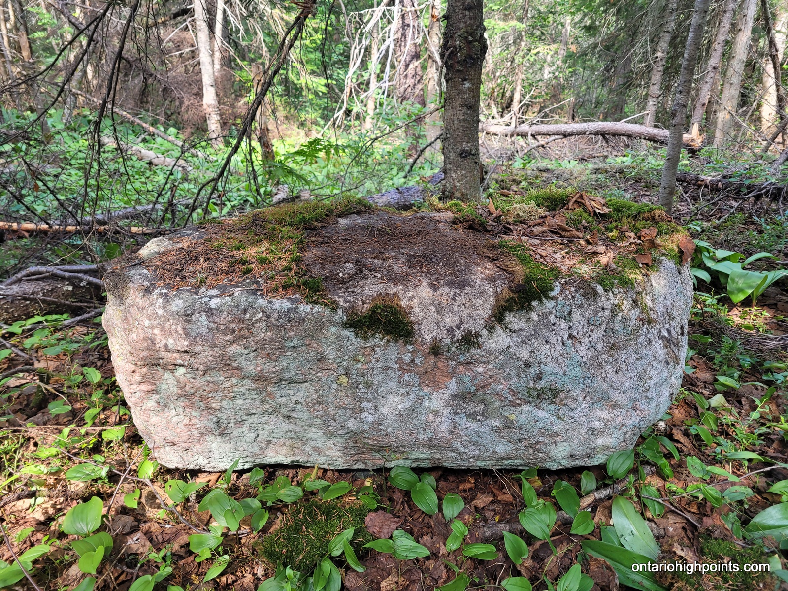
-
- Alt summit candidate #2
-
- Alt summit candidate #3
-
- Alt summit candidate #4
-
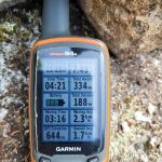
- GPS Elevation
-
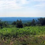
- Views south from near the summit
-
- Views southwest from near the summit
-
- Hazy view towards Lake Superior from near the summit
-
- View west towards 2012 prescribed burn area
-
- Looking back at our bushwhack route
-
- Cliff in the distance
Day 7 – July 24, 2023 – Beaver Pond Camp to White Gravel River (WGR3):
12.5 km – Beaver Pond Camp to White Gravel River (WGR3)
7:15 AM – 5:09 PM, 9h 54m (moving time: 5h 36m)
Total Ascent: 60m / Total Descent: 366m
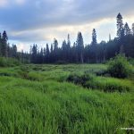
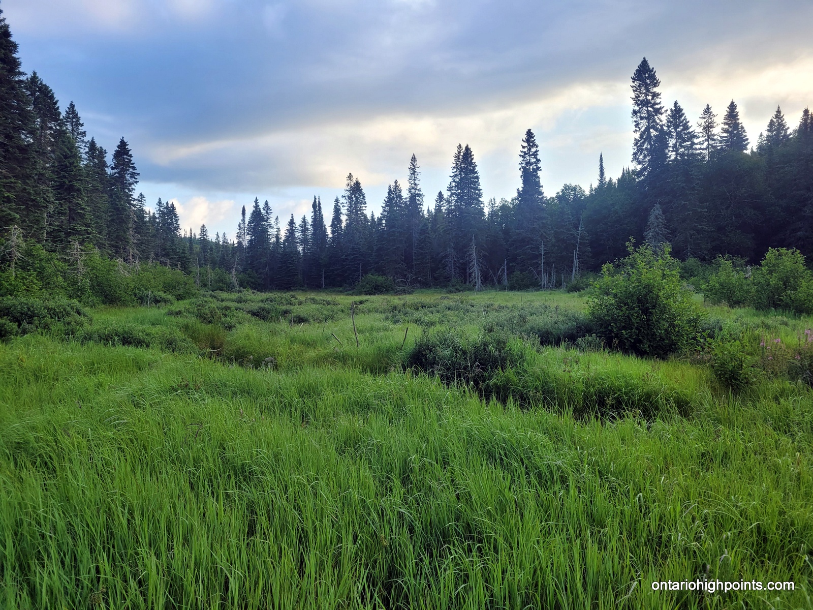
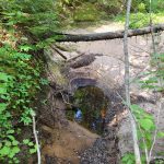
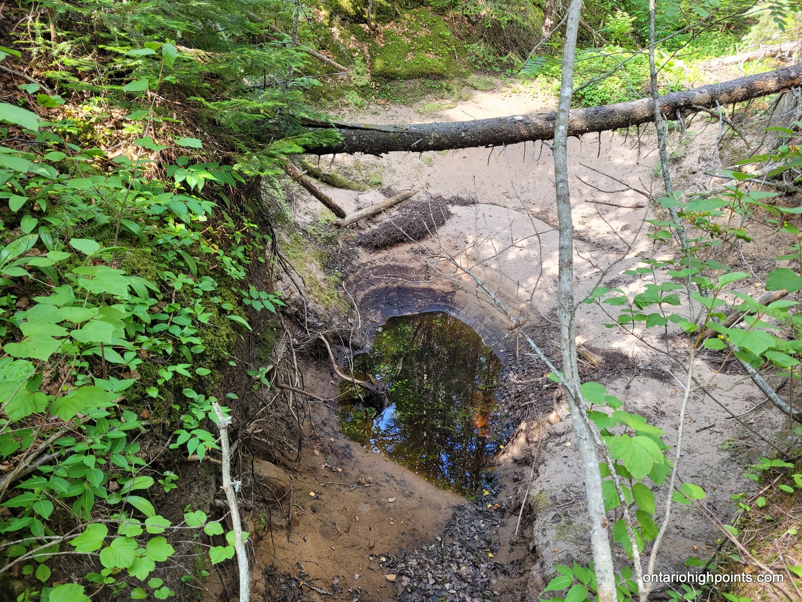
We broke camp at 7:15 AM and began our return trip back to the Coastal Trail. I changed up the bushwhack route a bit and followed a more direct path heading north along the creek flowing out (not much flow) from our pond. We paralleled a steep gully and descended down to a grassy marsh and then back to the beaver pond at the White Gravel River tributary/creek. Once back at the creek, we crossed the beaver dam and turned west and followed creek down.
Val was having a hard time rock hopping, so I took some of her stuff. We both fell a couple of times, but no one got injured. After one of the falls, Val lost her sunglasses, but we didn’t notice until sometime later.
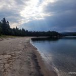
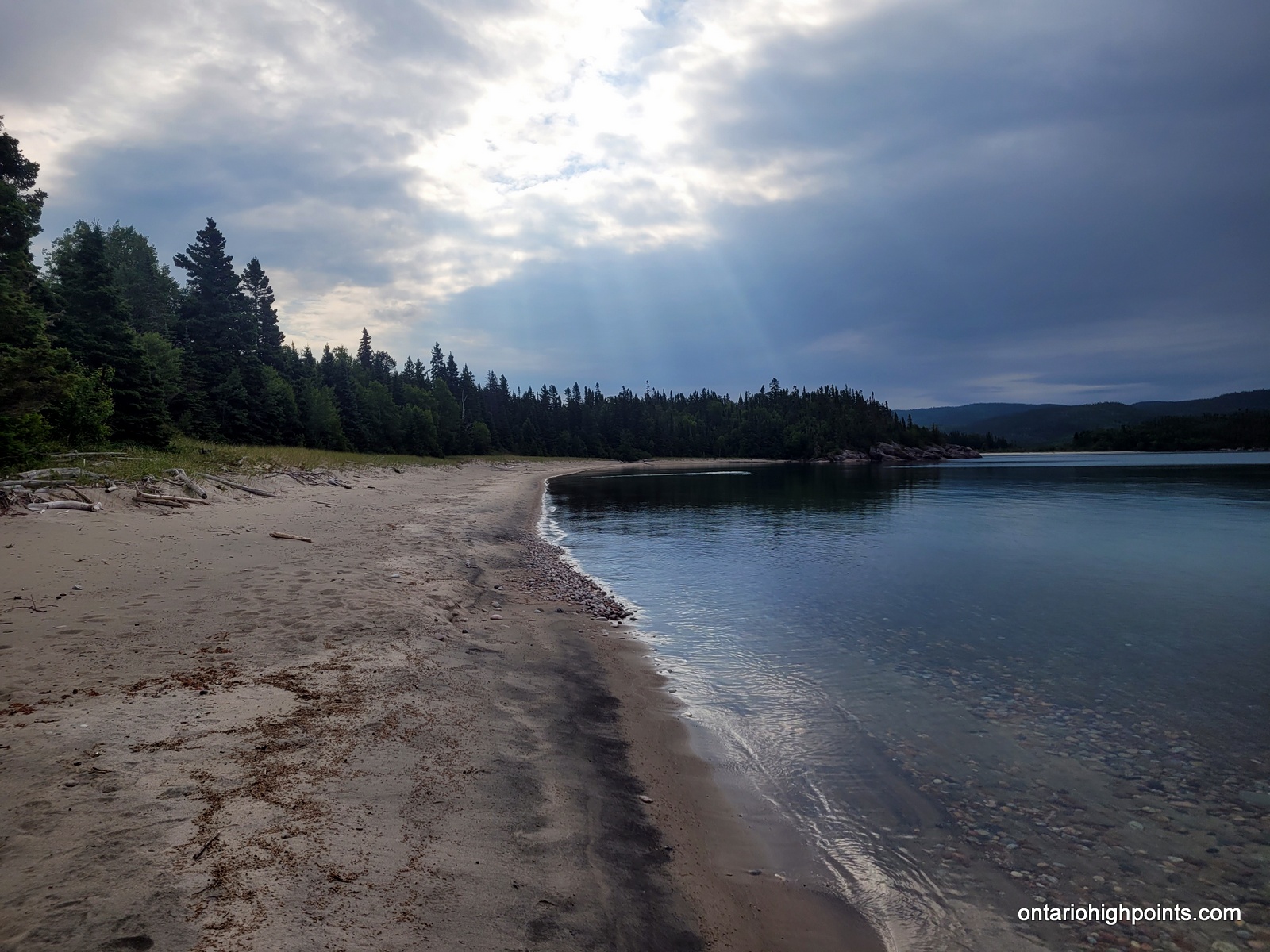
We descended back down the creek, navigated around the 4 remaining ponds and then down through the narrow canyon sections. After a few more kilometers we rejoined the main White Gravel River. A little while later, we arrived back at the shore of Lake Superior. It was 5:10 PM when we strolled into WGR3, our campsite for the night. It had been a long day.
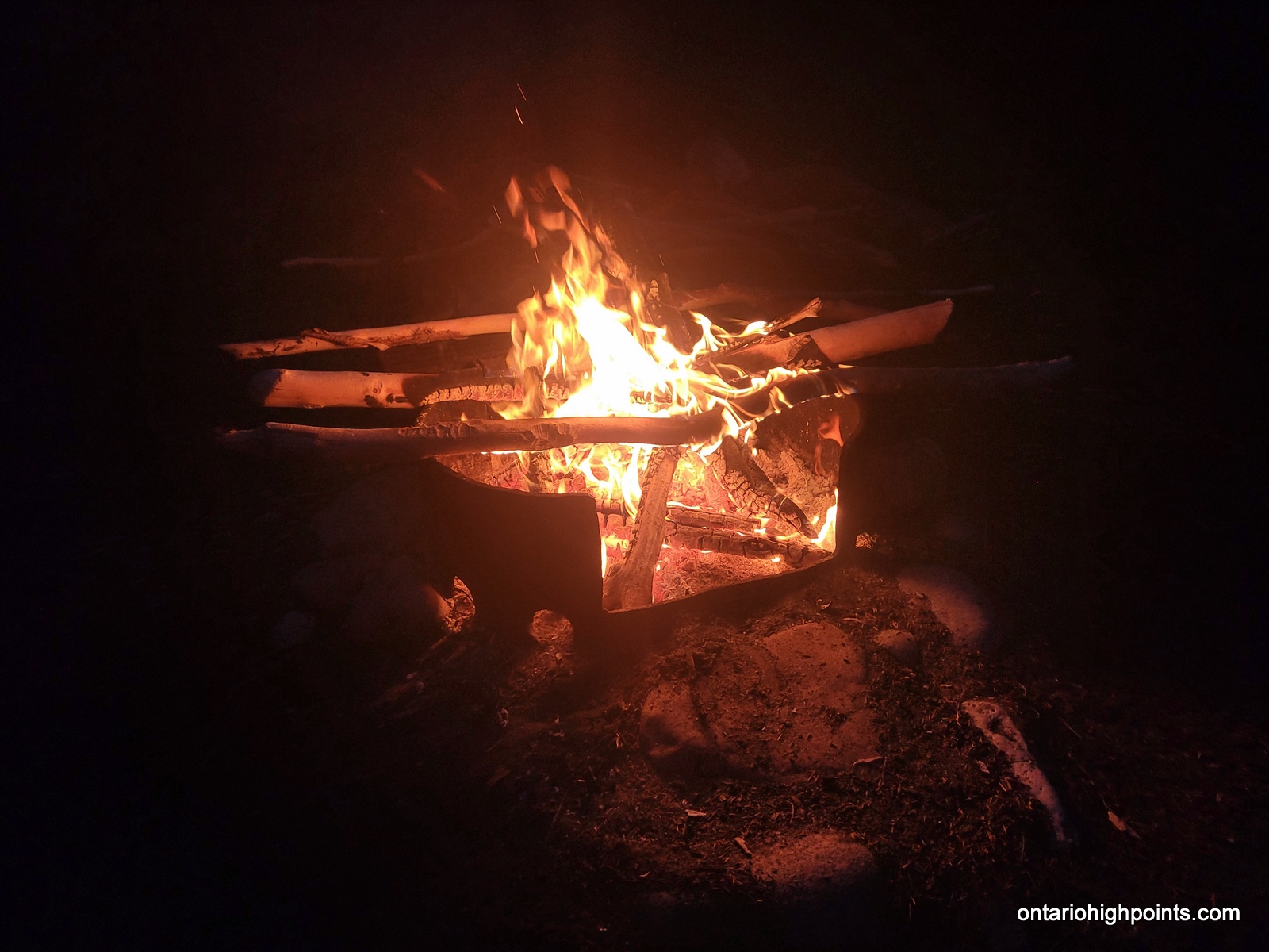
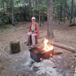
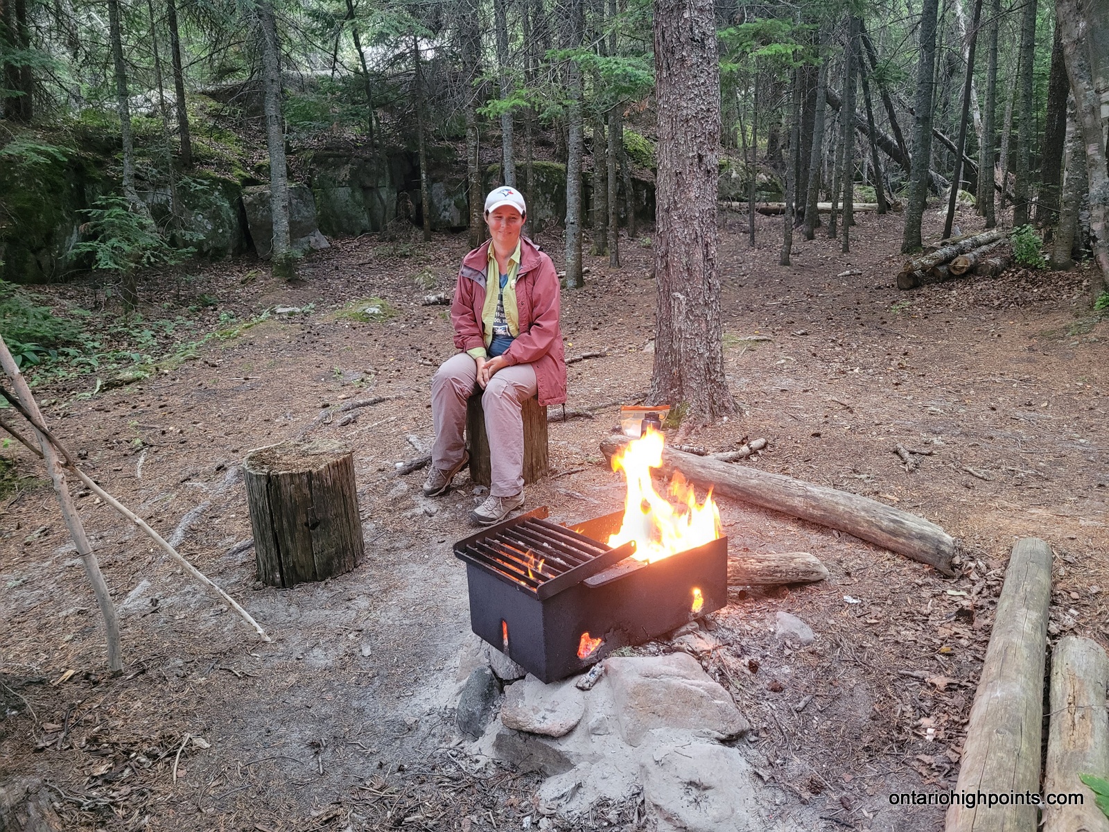
Being back at an established campsite and trail, with all the really difficult hiking and unknowns out of the way, we found we could finally relax a bit. Our appetites returned and we enjoyed a double supper of harira and macaroni. We had the energy to scrounge for wood and had a nice fire that night to keep the bugs away. Tomorrow was to be a short 3 km hike to White Spruce Harbour so we could sleep in!
-
- Last look at the beaver pond
-

- Bushwhacking our way back to the WGR tributary
-
- Grassy marsh near the WGR tributary
-
- Careful footing descending through the canyon
-
- Hiking around the edge of one of the beaver ponds along the WGR tributary
-
- Wading through the creek
-
- More wading through the creek

-
- Navigating around large boulders
-
- Rock hopping
-
- Small waterfall
-
- Back at the WGR3 campsite
-
- Sun and beach
-
- The beach near the White Gravel River
-
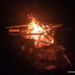
- Having a fire tonight
Day 8 – July 25, 2023 – White Gravel River (WGR3) to White Spruce Harbour (WSH1):
3.2 km – White Gravel River (WGR3) to White Spruce Harbour (WSH1)
10:11 AM – 11:34 AM, 1h 23m (moving time: 0h 59m)
Total Ascent: 40m / Total Descent: 57m
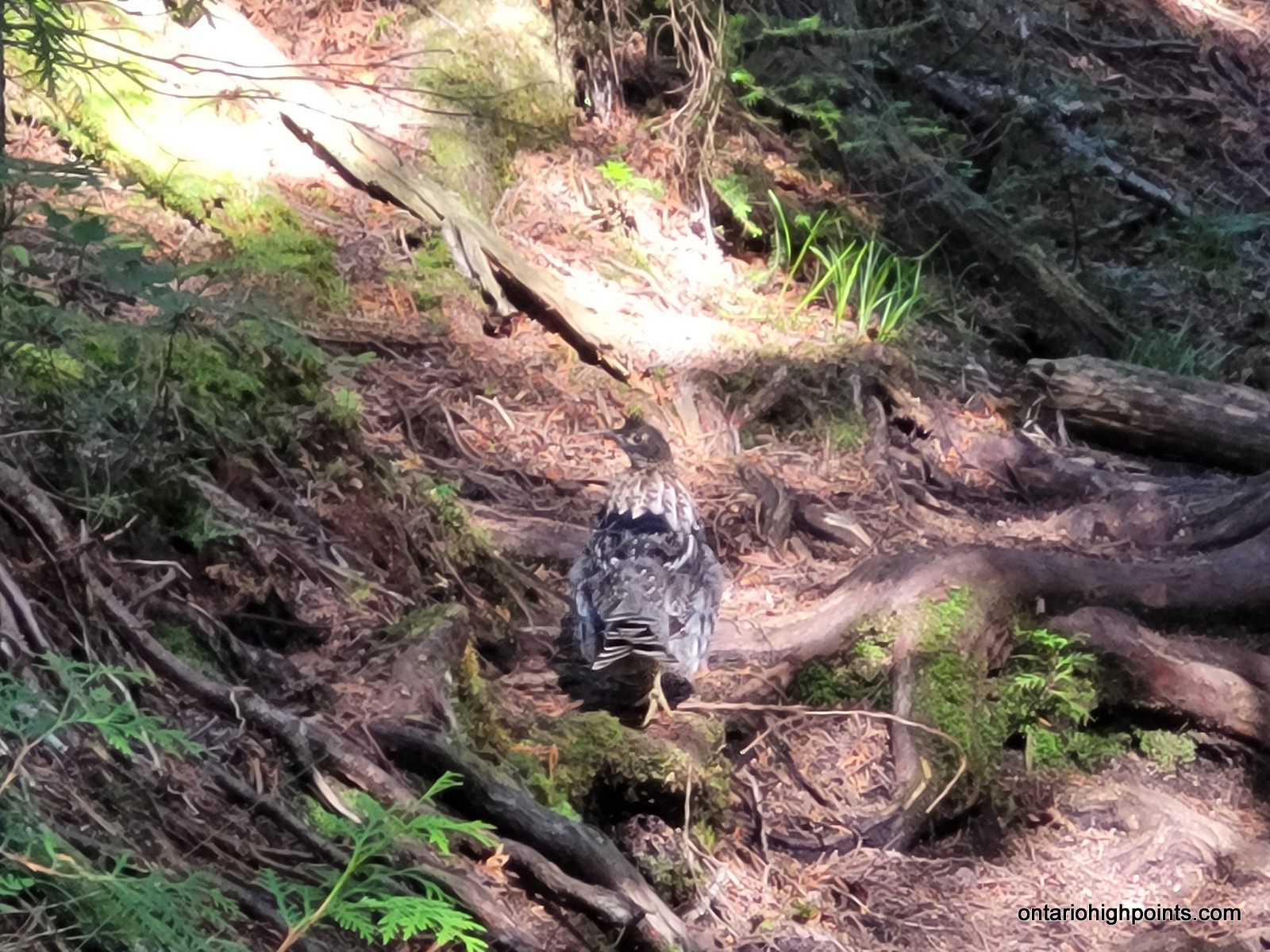
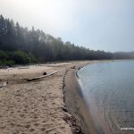
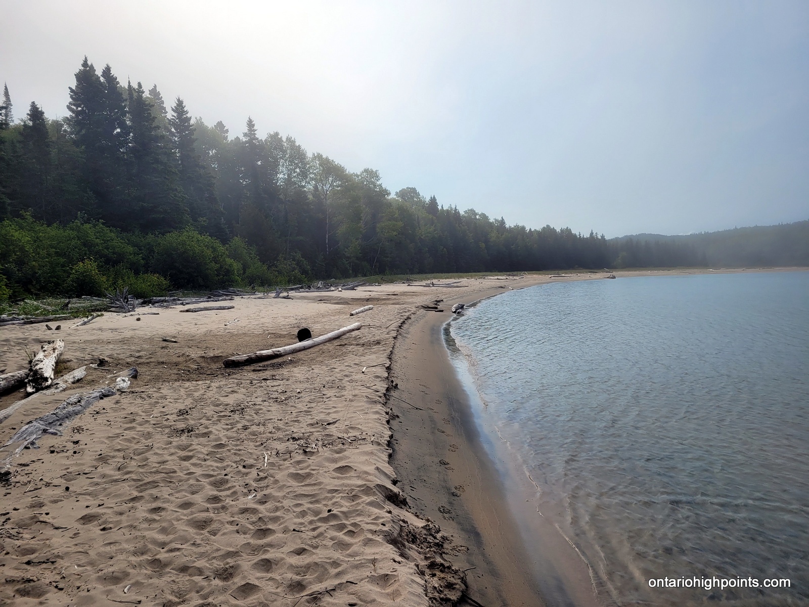
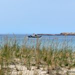
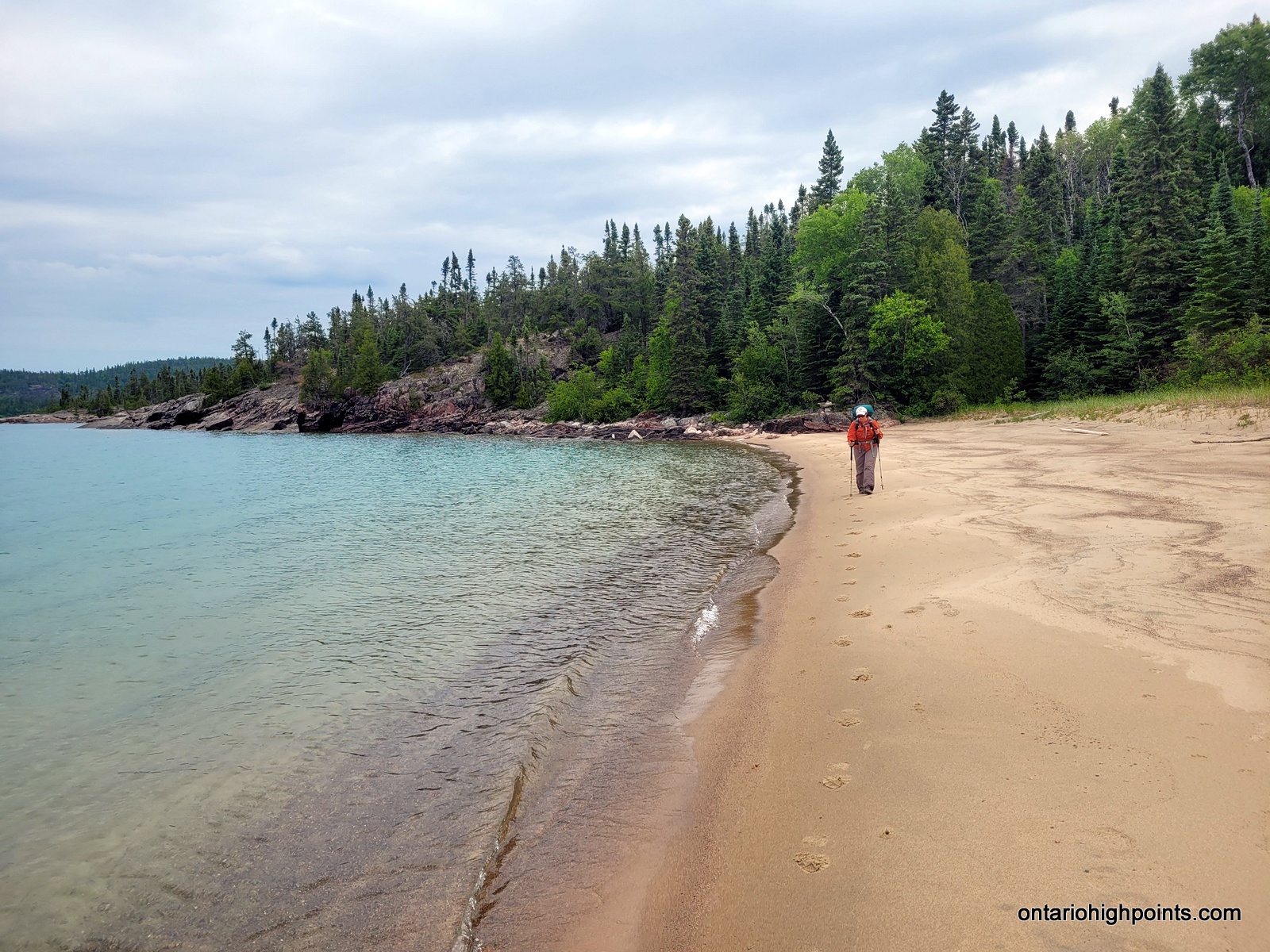
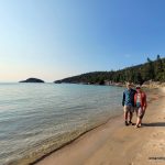
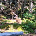
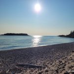
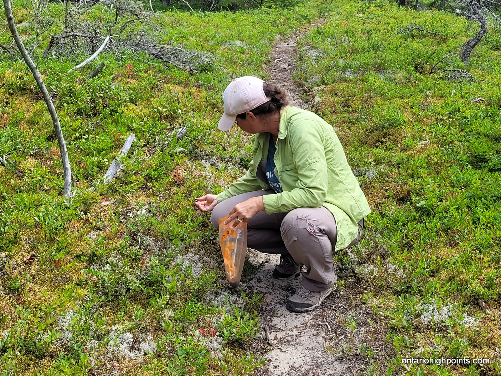
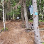
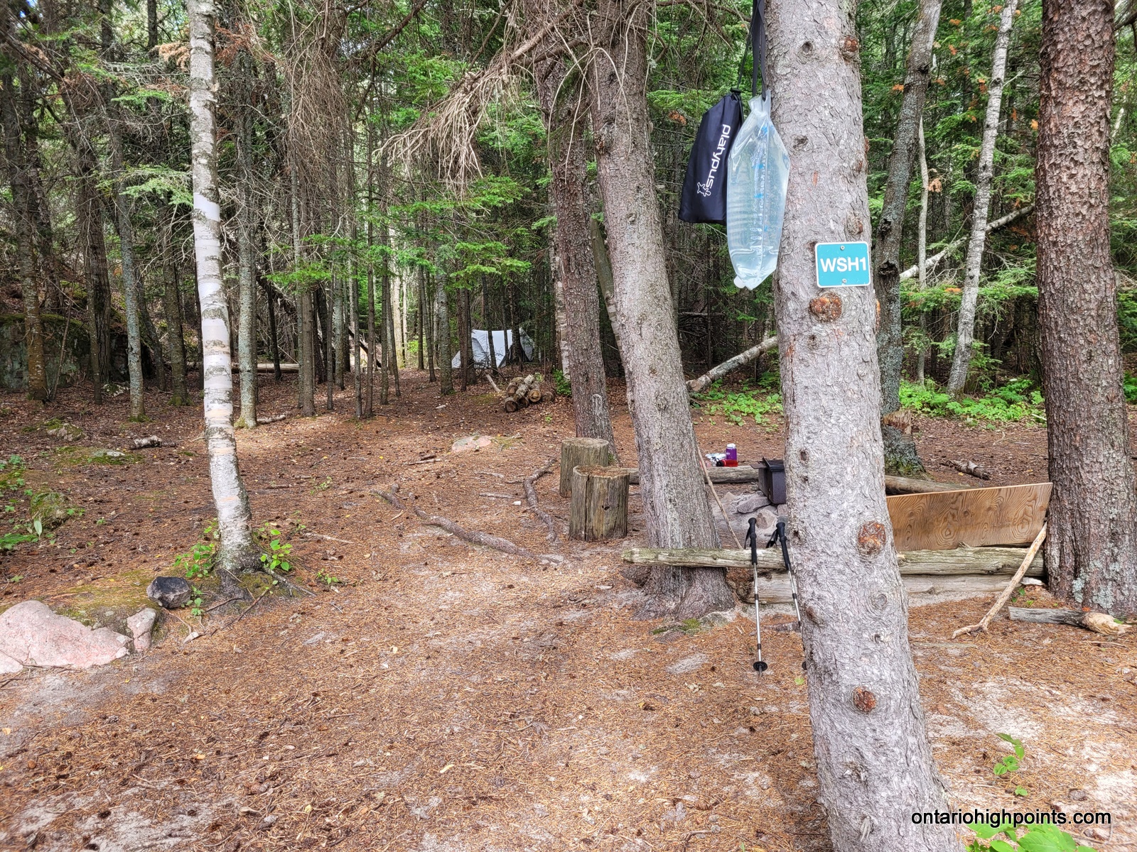
We had a leisurely morning, ate breakfast and didn’t break camp until 10:10 AM. We only had a short 3 km hike to White Spruce Harbour where we would be getting picked up the following day. The trail to White Spruce Harbour was probably our easiest hike along the Coastal Trail. We got pretty close to a grouse and we picked some blueberries along the way — first time we’ve had enough time and energy for that!
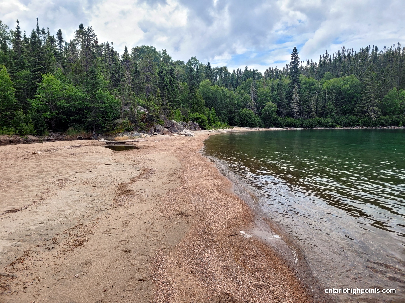
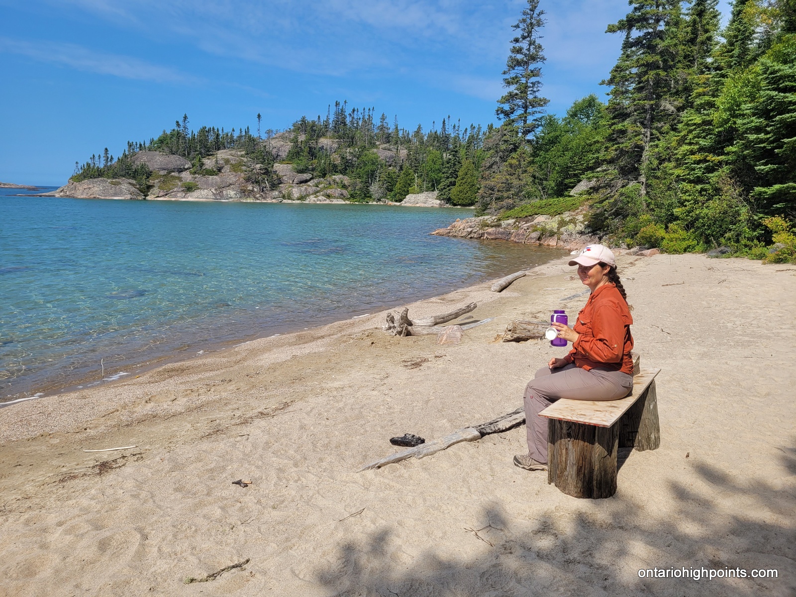
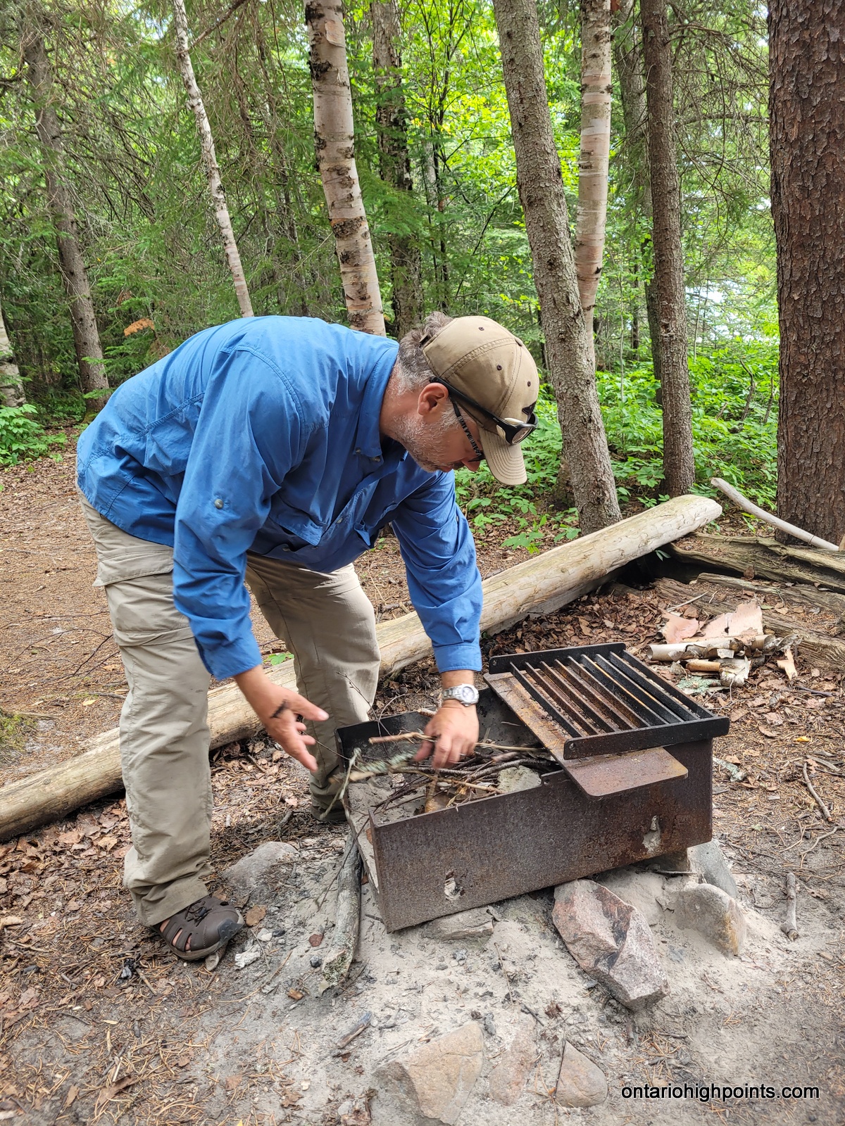
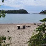
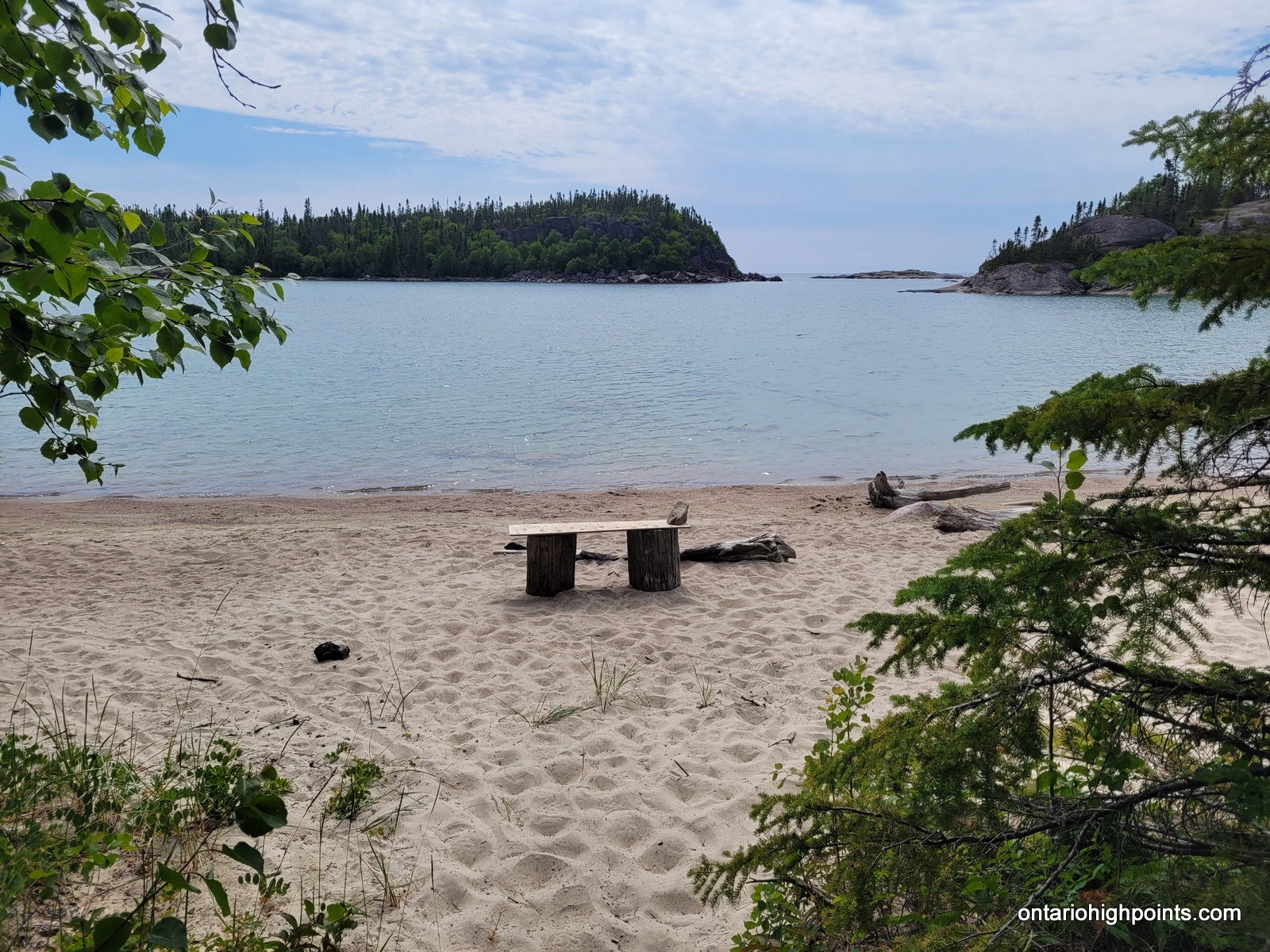
Once we arrived at our campsite; WSH1, we strung a clothesline and hung some of our clothes to air out. We lounged on the beach and had our lunch. There were large cut logs and some boards that made a nice bench to sit on, both at the beach and at the fire pit at the campsite. We also went back to the blueberry patch along the trail and picked some more blueberries and then gathered firewood for tonight’s fire. It was a very nice, scenic campsite, and the wind kept the bugs away.
I explored the area and found that we could get cell reception on top of the hill behind our campsite. We enjoyed a full portion of spaghetti for dinner — the first day we might eat at least as many calories as we burn.
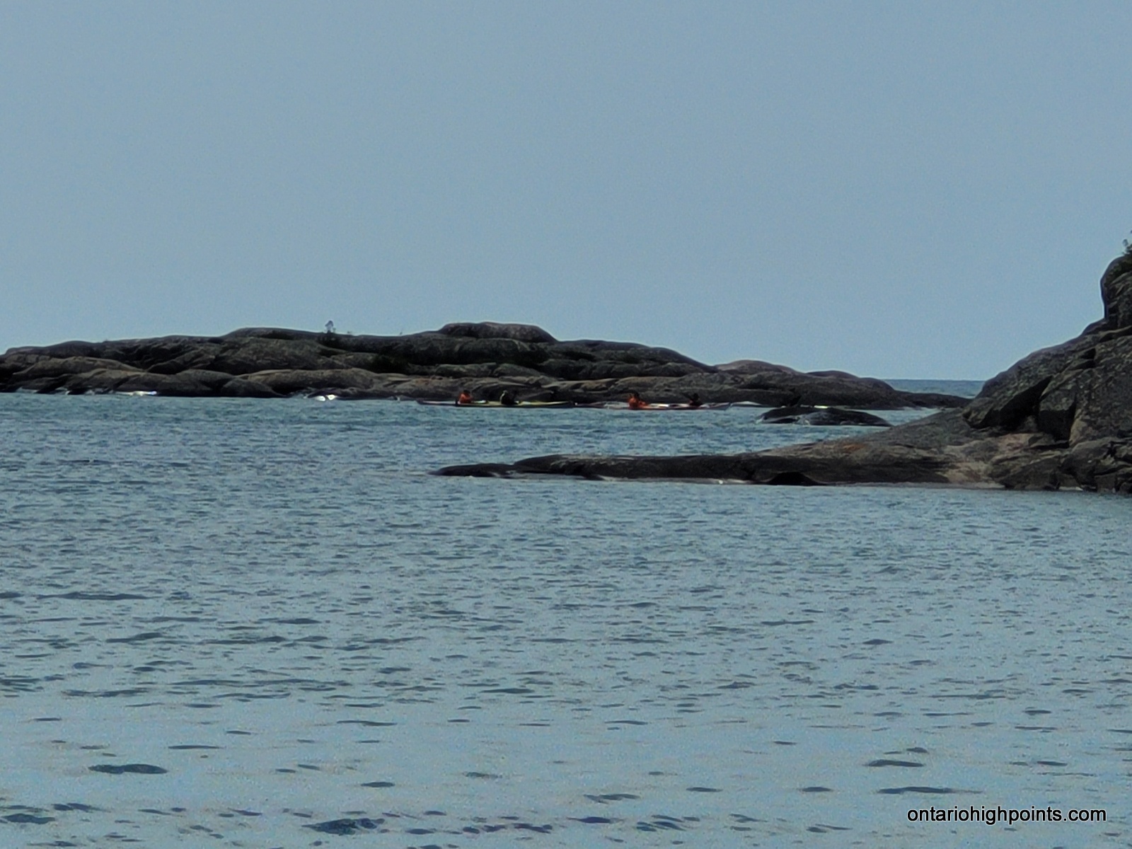
By evening, the wind settled enough that we managed a small fire. Just as we were settling down to sleep at 10:00 PM, we heard some kayaker’s paddling into the harbour. It was almost dark. They said they were fighting headwinds all day and didn’t get as far as they were hoping (Simon’s harbour?). They set up their tent down on the beach.
-
- Farewell White Gravel River
-

- Beach hiking
-
- A grouse on the trail
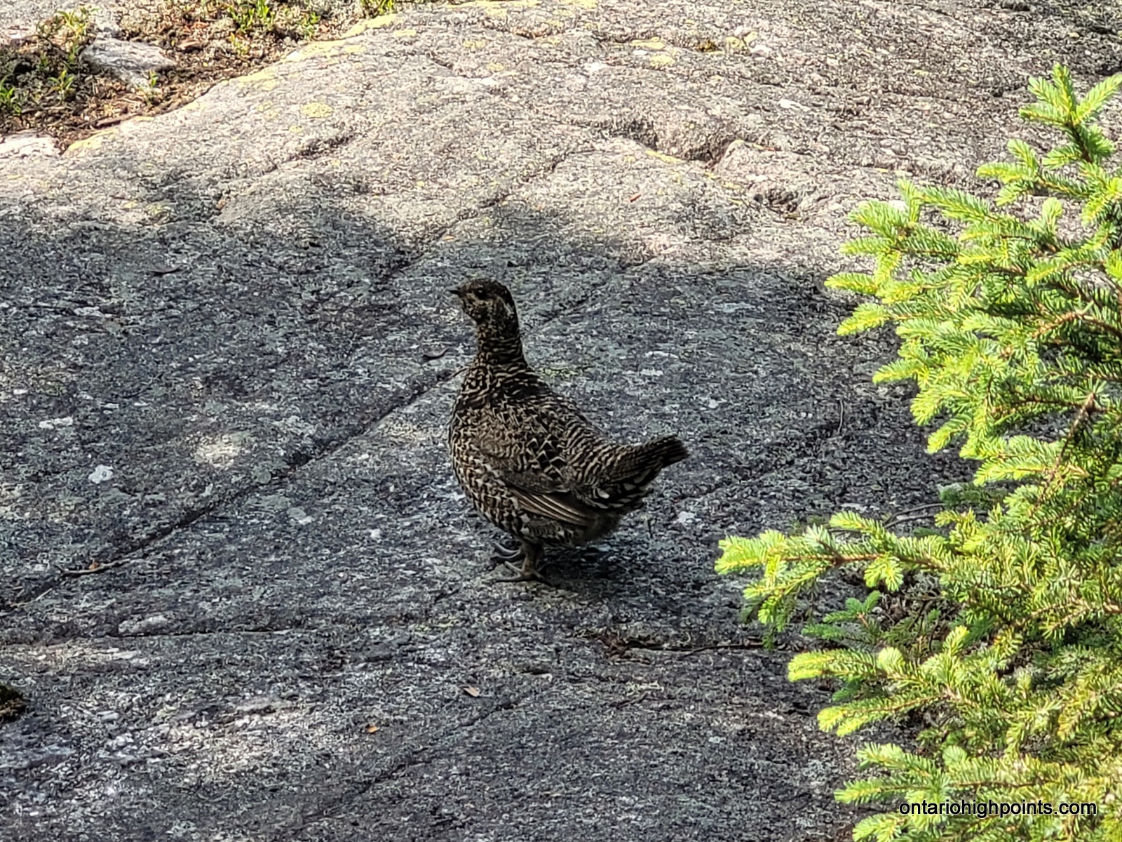
-
- Val and the grouse
-
- Back on a trail
-
- Sink hole on the way to White Spruce Harbour
-
- Blueberry meadow
-
- White Spruce Harbour beach
-
- White Spruce Harbour
-
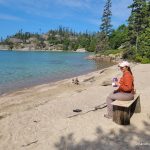
- Bench at White Spruce Harbour
-
- View of White Spruce Harbour from nearby hill
-
- Kayakers going by
-
- Picking blueberries
-
- Prepping for a fire
-
- Our campsite at White Spruce Harbour (WSH1)
-
- View from the campsite
-
- Val getting cell coverage on the nearby hilltop
-
- Enjoying a fire on our last night on the Pukaskwa Coastal Trail
Day 9 – July 26, 2023 – White Spruce Harbour (WSH1) to Hattie Cover via Water Shuttle:
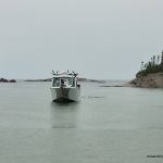
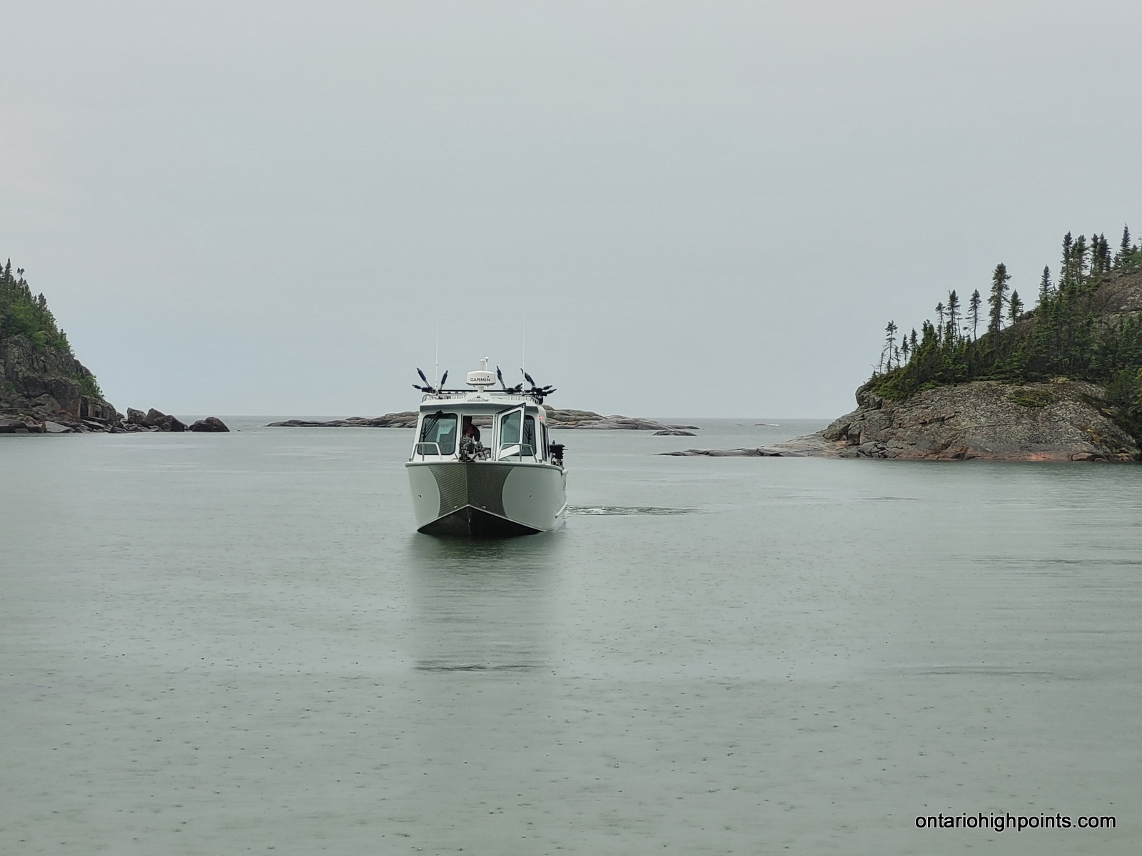
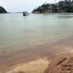
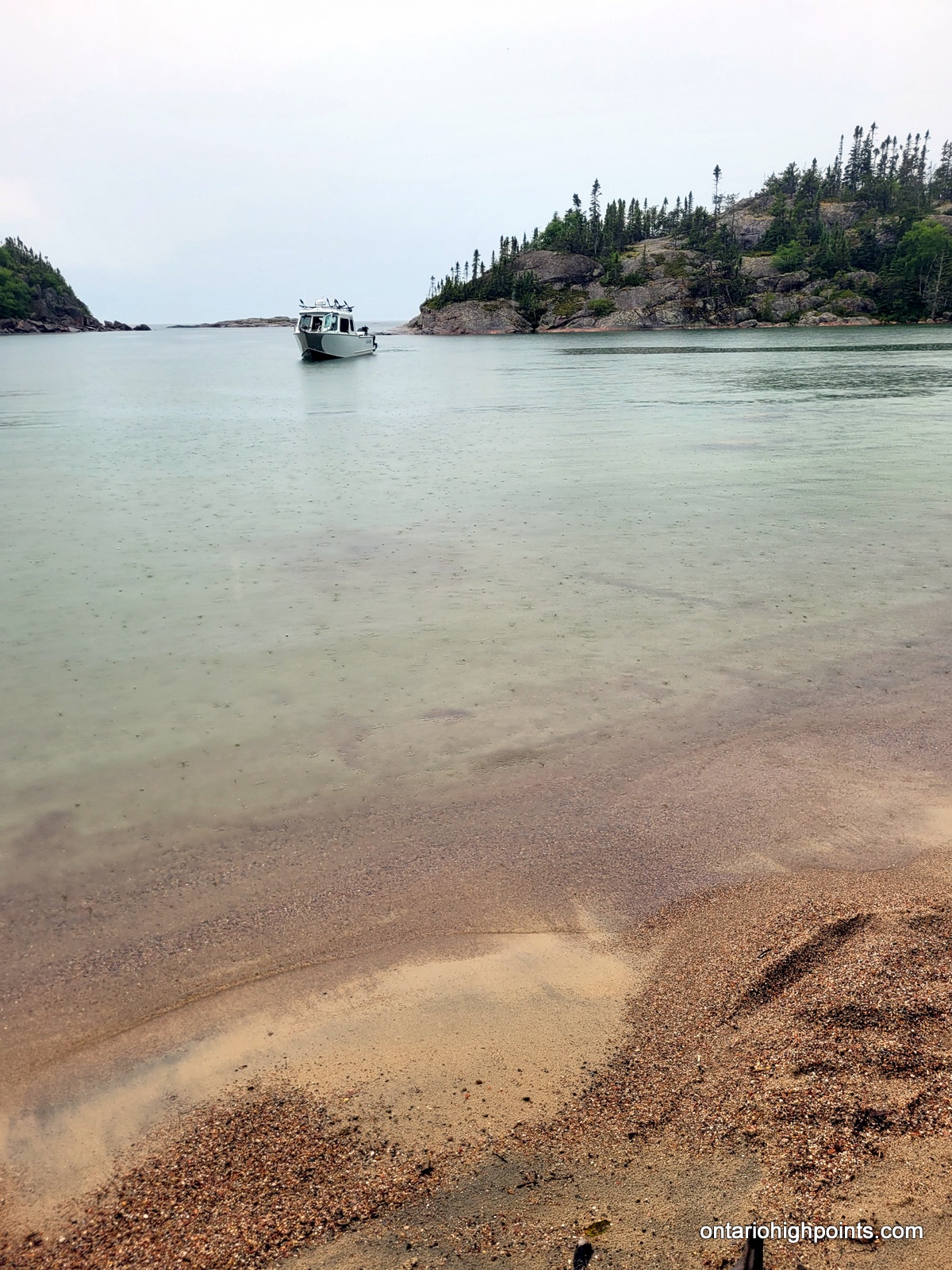
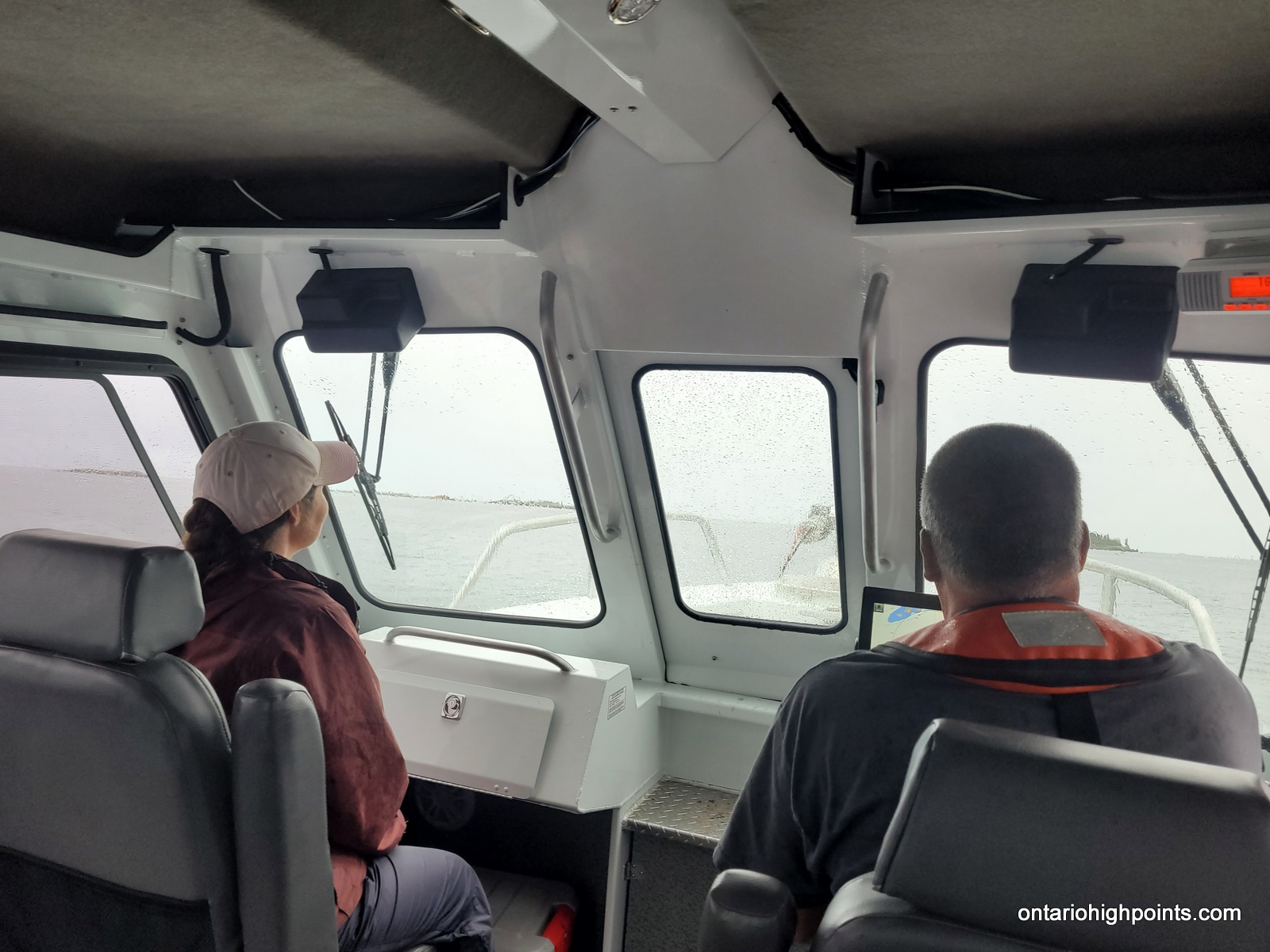
It stormed during the night — lots of rain, thunder and lightning. We woke up early to break camp and wait for the water shuttle. It was drizzling all morning and the tent was packed up wet. The boat was a bit late but we were happy to see it appear around the rocky point and motor into the harbour (10:10 AM). It eased up as it neared the beach and we were welcomed aboard by Captain Brian. Val and I climbed a ladder to get on deck and then found a seat in the cabin. A short time later, we were off, and heading north up the coast. Brian turned into a bay and then cautiously through the narrow passageway into Hattie Cove. At 11:10 AM, we were dropped off at the dock at the Pukaskwa visitor’s center.
We dropped off our backpacks at our van, grabbed some clean clothes and headed to the showers. After cleaning up we checked in at the registration office and then began our 8 hour drive back to Sudbury.
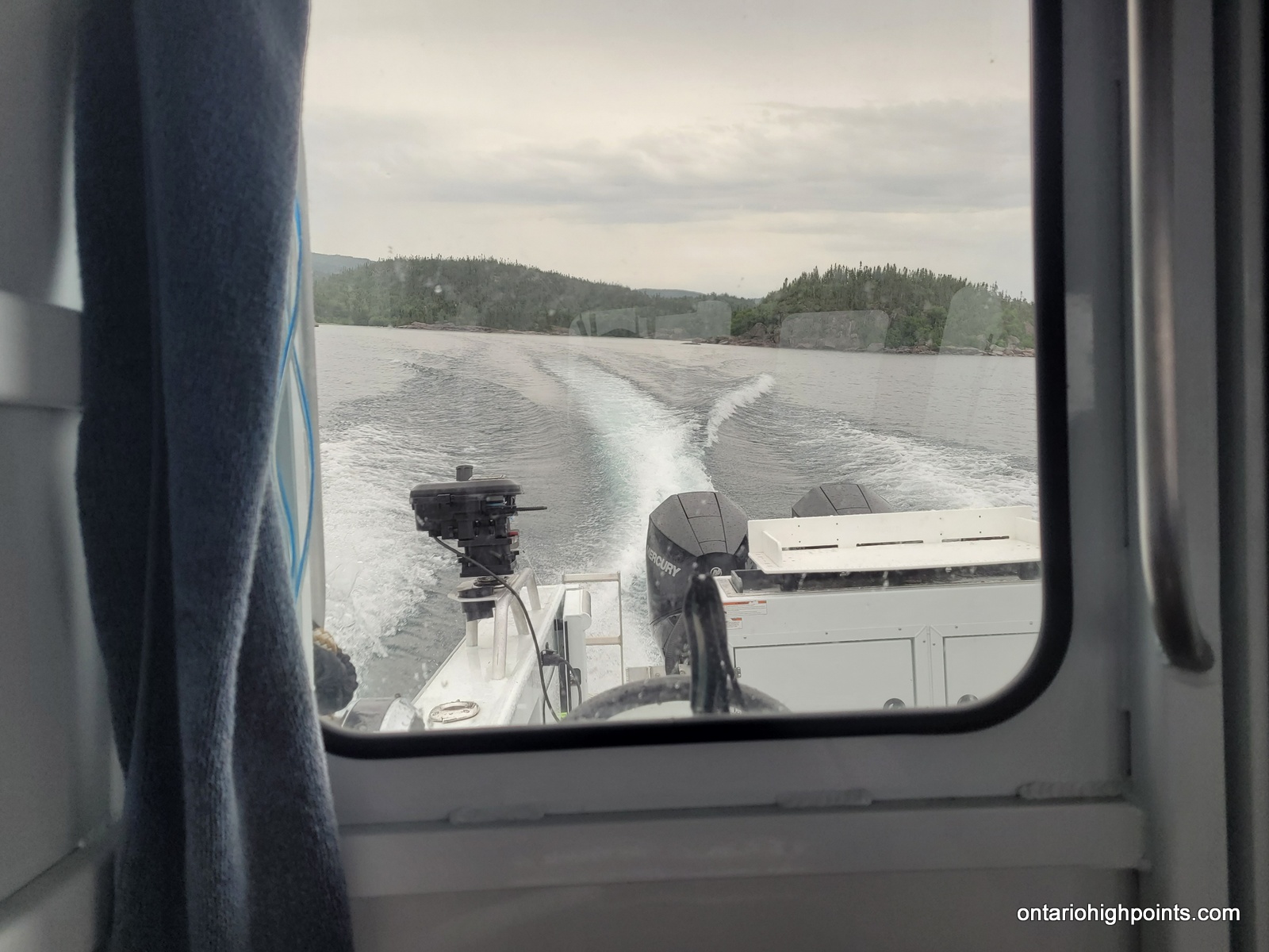
-
- Water shuttle arrives
-
- Water shuttle nearing the beach
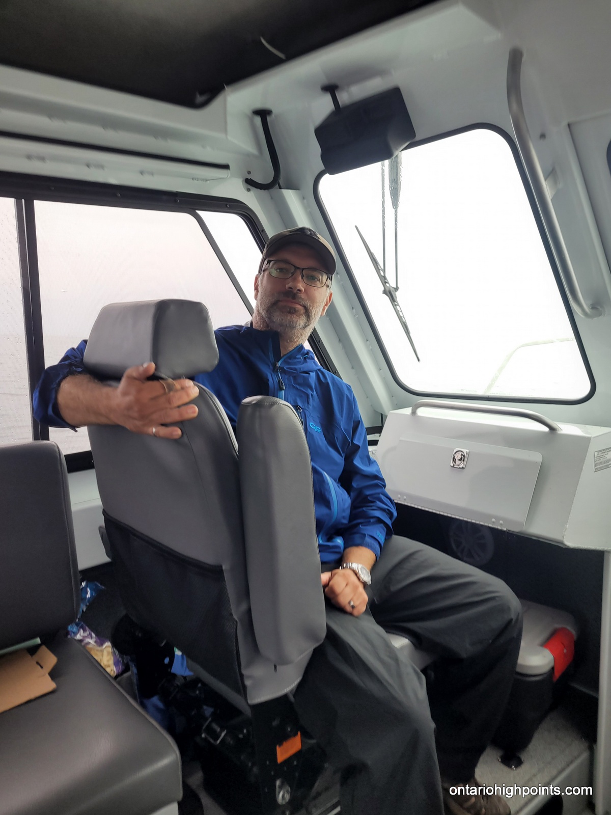
-
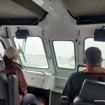
- Val and Captain Brian in the front seat
-
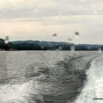
- Last look at the Pukaskwa coast

-
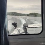
- Full throttle ahead
-
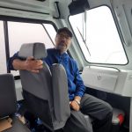
- In the front seat
Expenses (as of 2023):
- Cost of North Shore Adventures water shuttle: $250 + tax per person for groups of 3+. (Minimum fee is $750 + tax). Departure time from Hattie Cove is 7:00 AM.
- Pukaskwa National Park backcountry fees are $12.75 + tax per person per night + one time $11.50 online reservation fee.
- National Parks like Pukaskwa also charge a daily admission fee on top of the backcountry fee. For us the single park entry monthly pass ~$60 was the cheaper option. You pay this upon registration at the park office.
- A mandatory online (or in person at the park) orientation session (free) is required before heading out on the Coastal Trail.
Tip Top bushwhack overlayed on Forest Resource Inventory Imagery (not exact route)
GPS Tracklog (GPX Format):
Pukaskwa Coastal Trail / Tip Top Mountain GPS Track
Related Links:
Spirit Journey to Tip Top Mountain
Mdaabii Miikna & Coastal Hiking Trail Trip Planner
Pukaskwa National Park
Christmar Pukaskwa National Park Map
North Shore Adventures (Water Shuttle Service)
Fletcher family spent ‘20s in Pukaskwa area
Pukaskwa National Park – Provisional Master Plan (1978)
Backpacking the Rugged Coastal Trail and Canyoneering its Rivers