Mount McKay
Posted by Derek on Oct 22, 2016
Height: 1585 feet / 483 meters
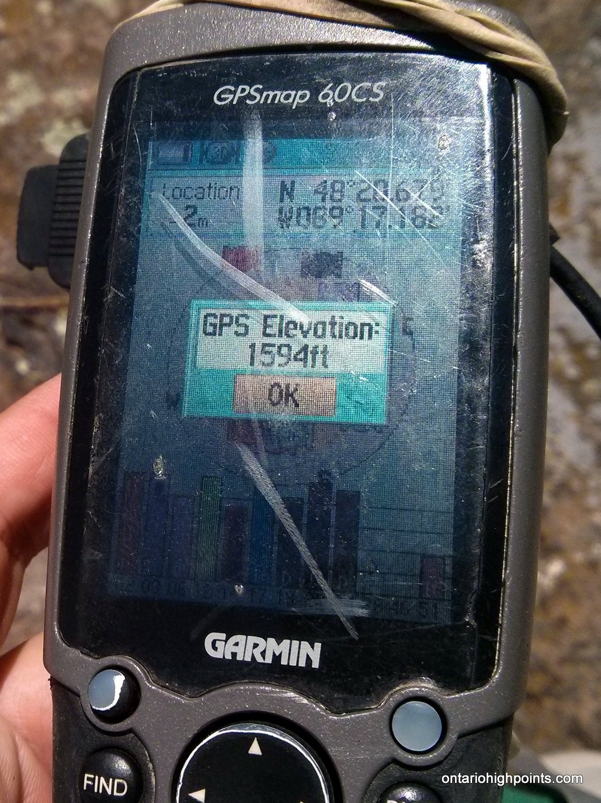
GPS recorded height: 1594 feet / 486 meters
Lat/Lon: N48 20.678 W89 17.183
Date Summited: July 25, 2016
Overview:
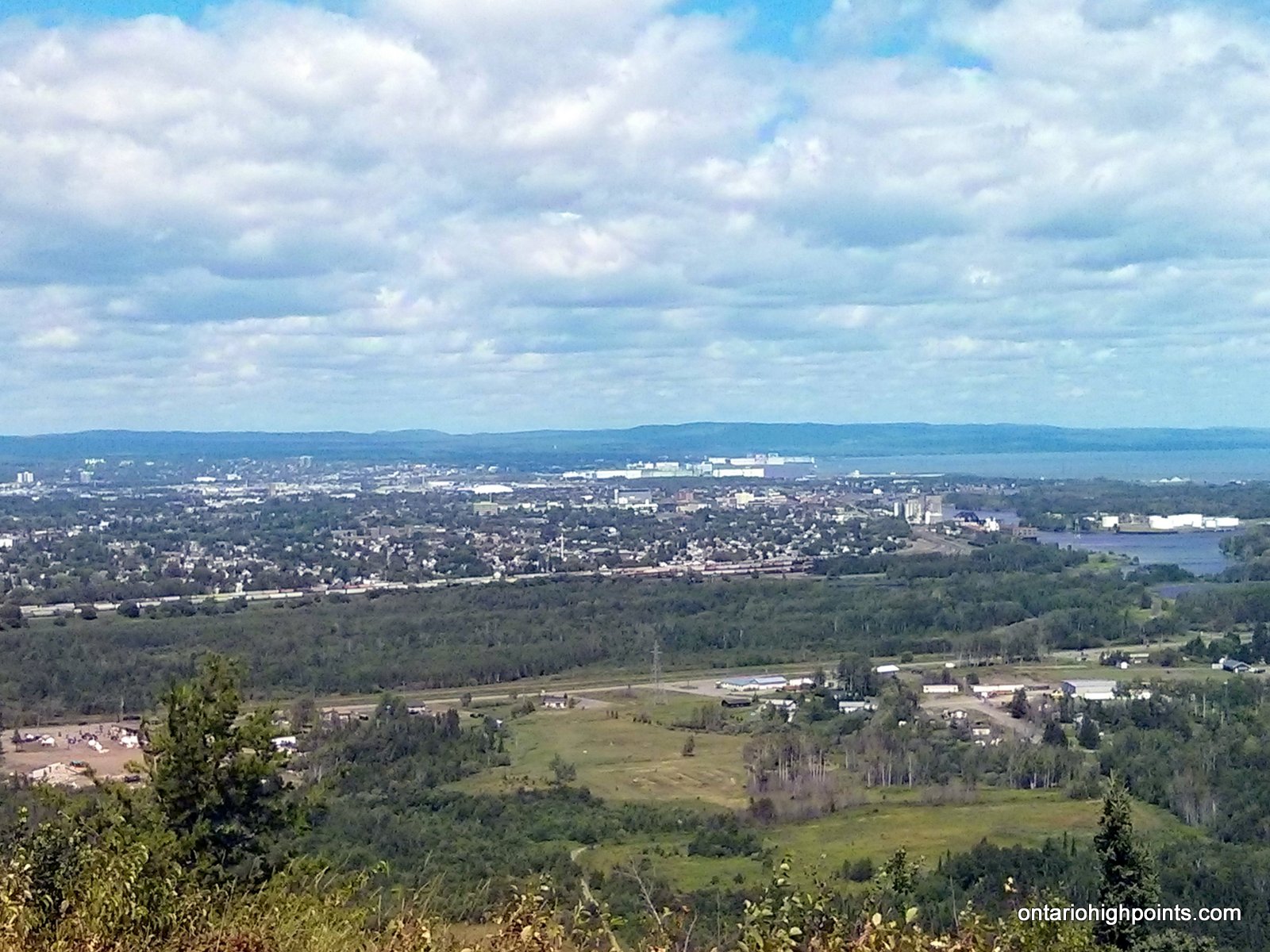
Mount McKay is the northernmost peak in a range known as the Nor’Wester Mountains. Located south of Thunder Bay, Ontario on the Indian Reserve of the Fort William First Nation, McKay was originally known as the “Thunder Mountain” (Animikii-wajiw in the Ojibwe language). The mountain is used by the Ojibwe for sacred ceremonies. A lookout exists on the lower eastern plateau at an elevation of 300 metres (980 ft), providing a view of Thunder Bay and the city’s harbour. There is a path on the southeastern face of the mountain that can be used to ascend the mountain.
Directions:
From Thunder Bay, drive south along Hwy 61. Shortly after crossing the bridge over the Kaministiquia River, make a sharp left turn onto Chippewa Road. Follow Chippewa Road, which turns into City Road for 4.9 km. Turn right onto Mission Road and follow it for 3 km. Turn right onto Mt McKay Lookout Drive and follow it to the toll gate. After paying a small fee ($5 at the time of this report), continue past the gate and watch for a gravel area on the left — the first parking area you will encounter, and park here. The trail starts at the west side of the parking area. The trail begins the ascent through a notch between Mt. Matchett (to the south) and Mt. McKay (to the north). After about 450 meters, the trail turns right a begins the final steep ascent up the southeastern face of the mountain.
View a larger version of the map
Trip Summary:
0.00 km – Departed Parking Area (3:24 PM)
0.73 km – Arrived at Summit of Mount McKay (3:40 PM)
0.73 km – Departed Summit (3:45 PM)
1.60 km – Arrived back at Parking Area (4:07 PM)
Gallery:
-
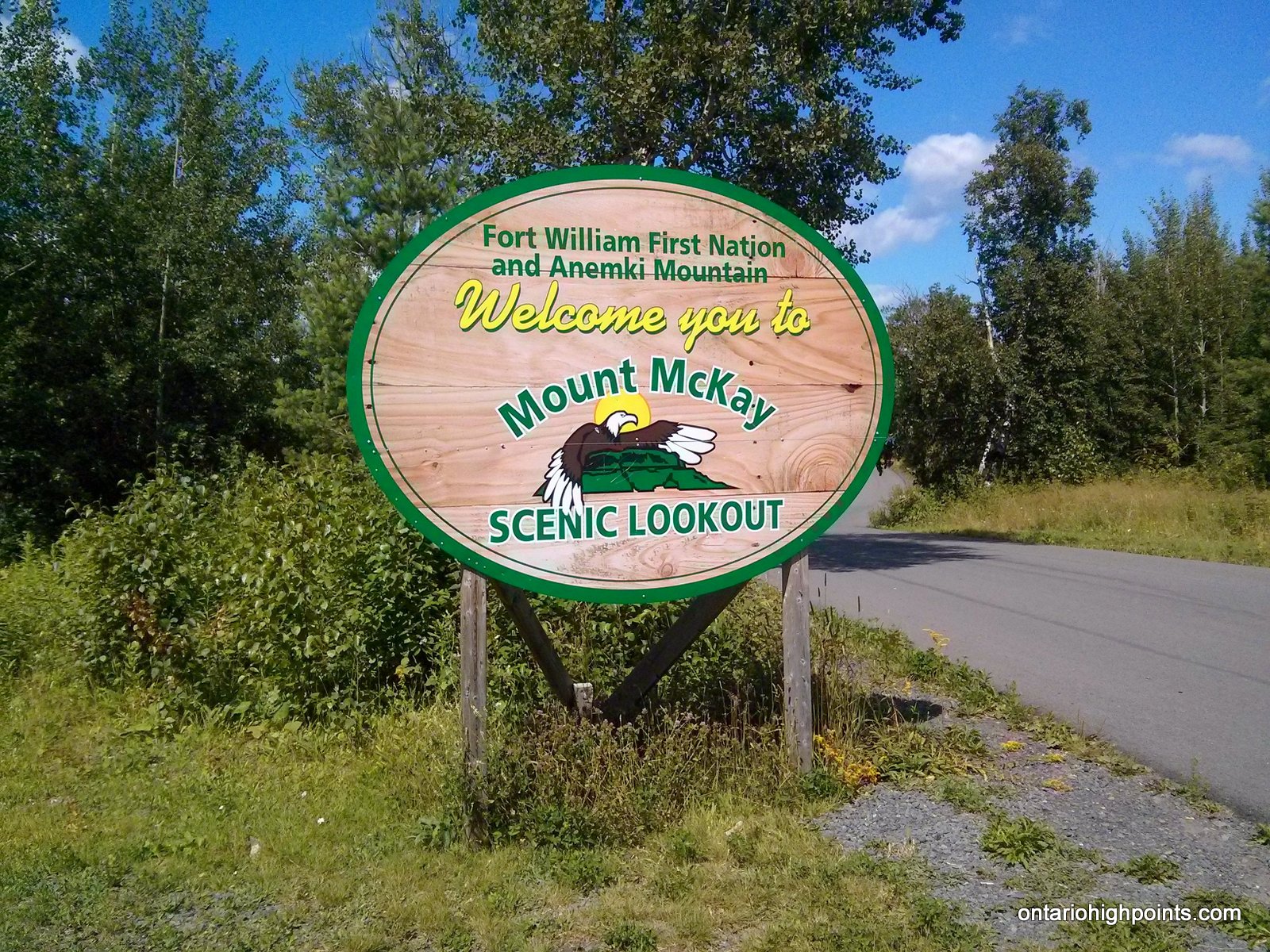
- Mt. McKay Welcome Sign
-
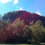
- Mt. McKay Summit (from the parking lot)

-
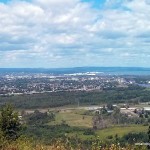
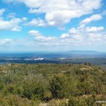
- Thunder Bay (as seen from the parking lot lookout)
-
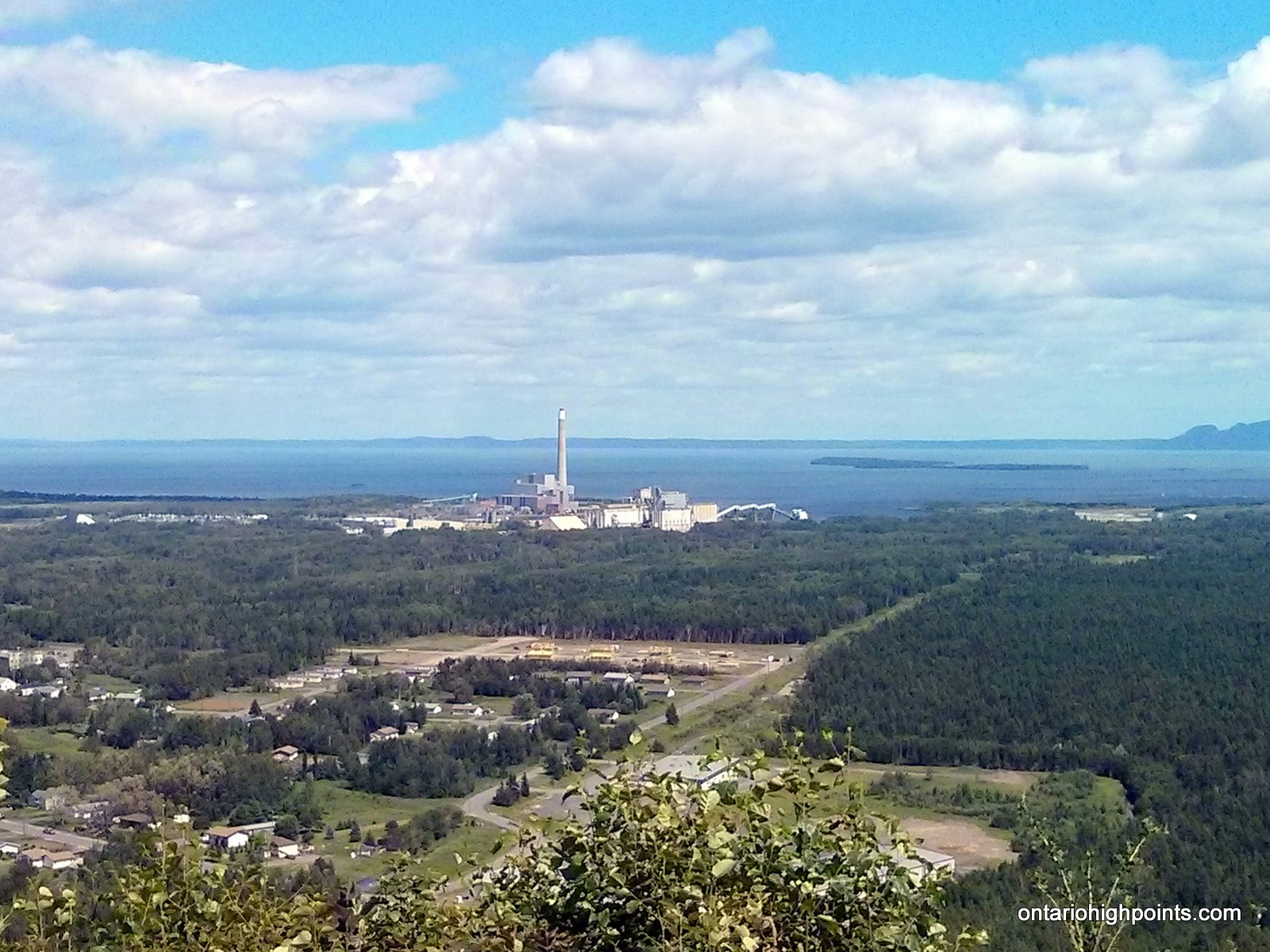
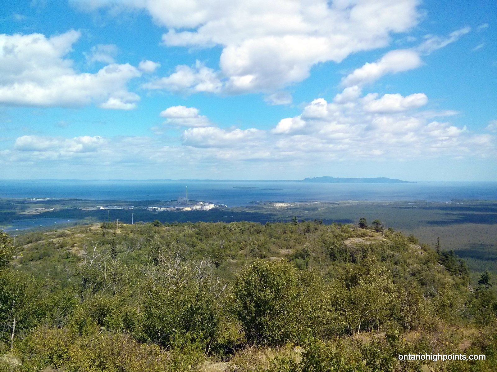
- Thunder Bay Generating Station
-
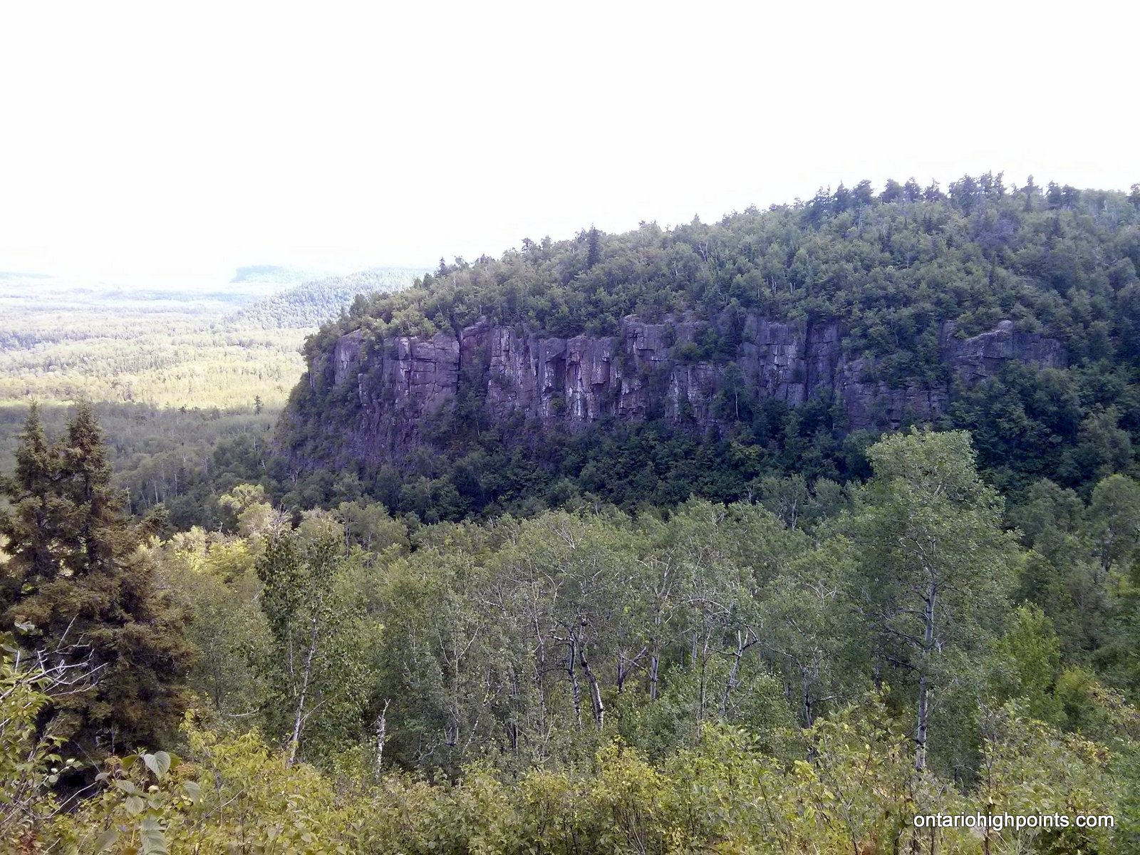
- View of Mt. Matchett while ascending Mt. McKay
-
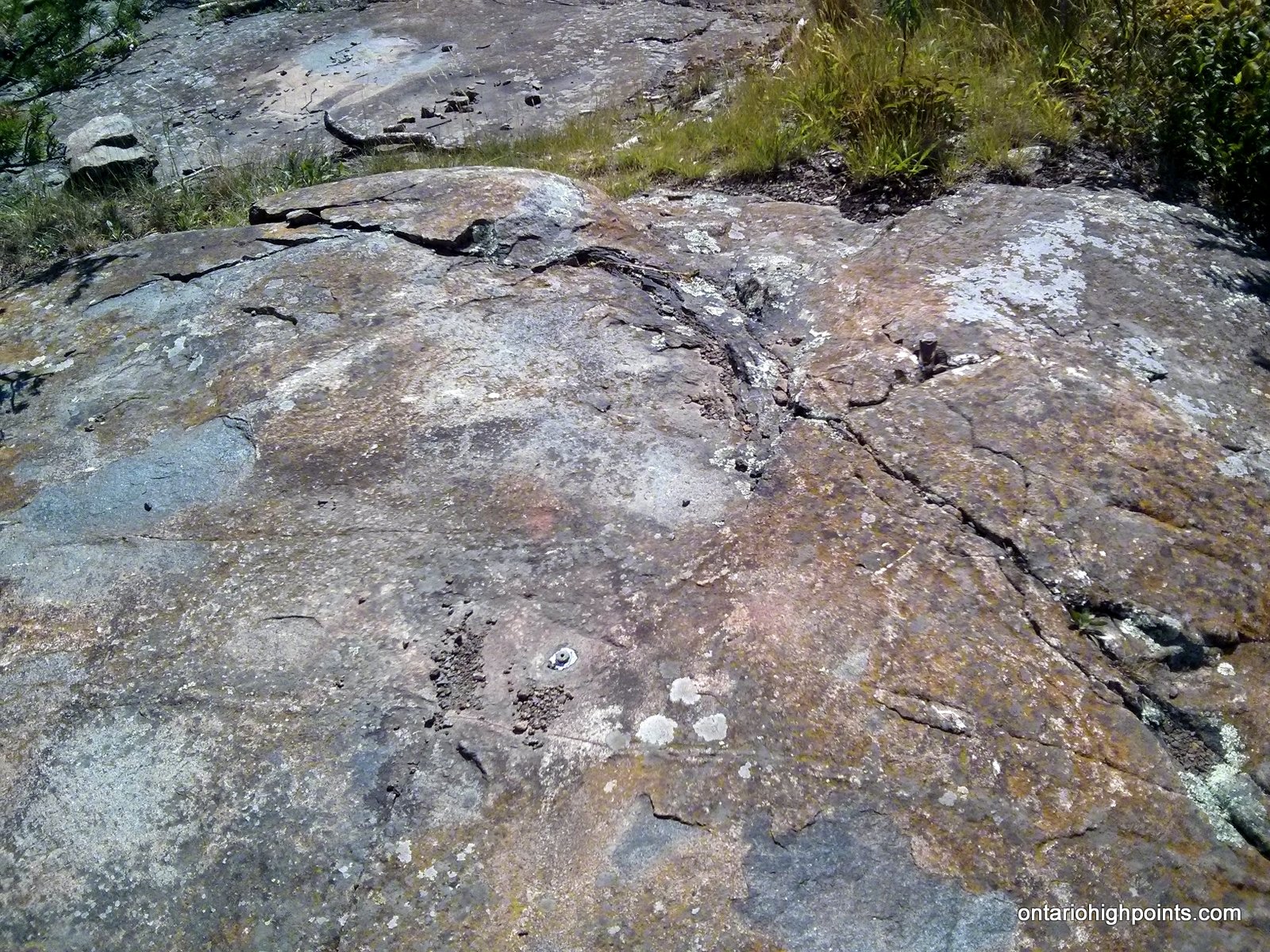
- Summit pin of Mt. McKay
-
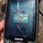
- GPS Elevation
-
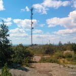
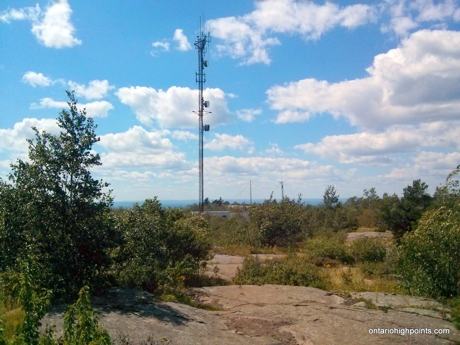
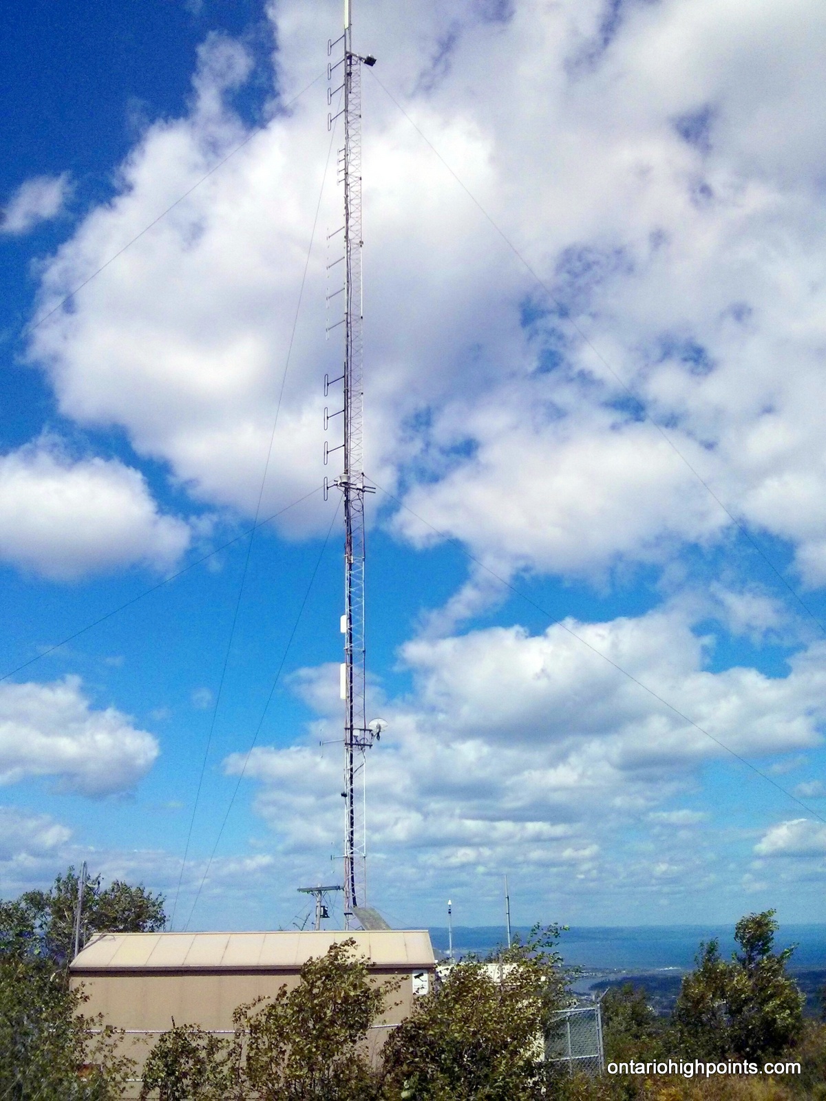
- Communications tower on Mt. McKay
-
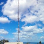
- Communications tower and shack on Mt. McKay
-
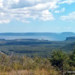
- View SE towards Pie Island / Le Pate PP
-
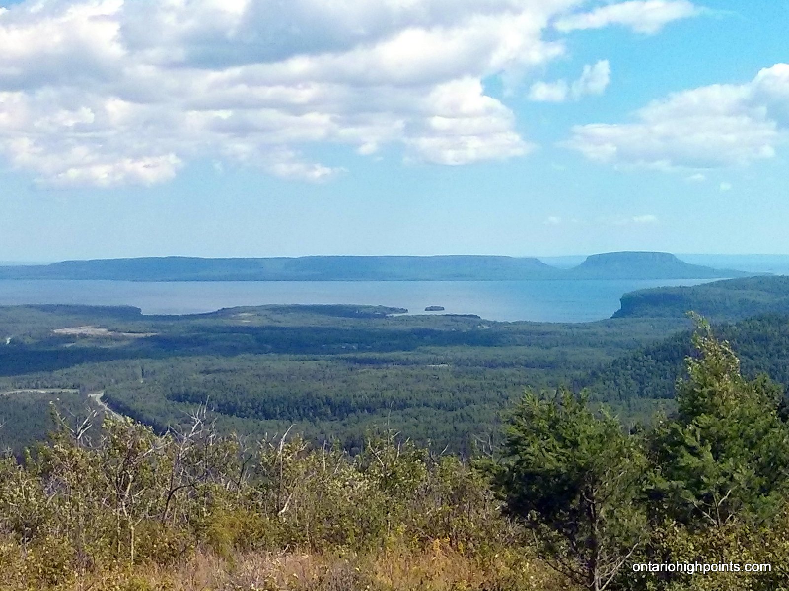
- Sleeping Giant in the background
-
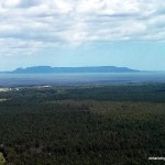
- Sleeping Giant

GPS Tracklog (GPX Format):
Related Links:
Mount McKay / Anemki-waucheu | Fort William First Nation
Mount McKay | Superior Hiking