Ghost Range Peak
Posted by Derek on Aug 10, 2017
Height: 1601 feet / 488 meters
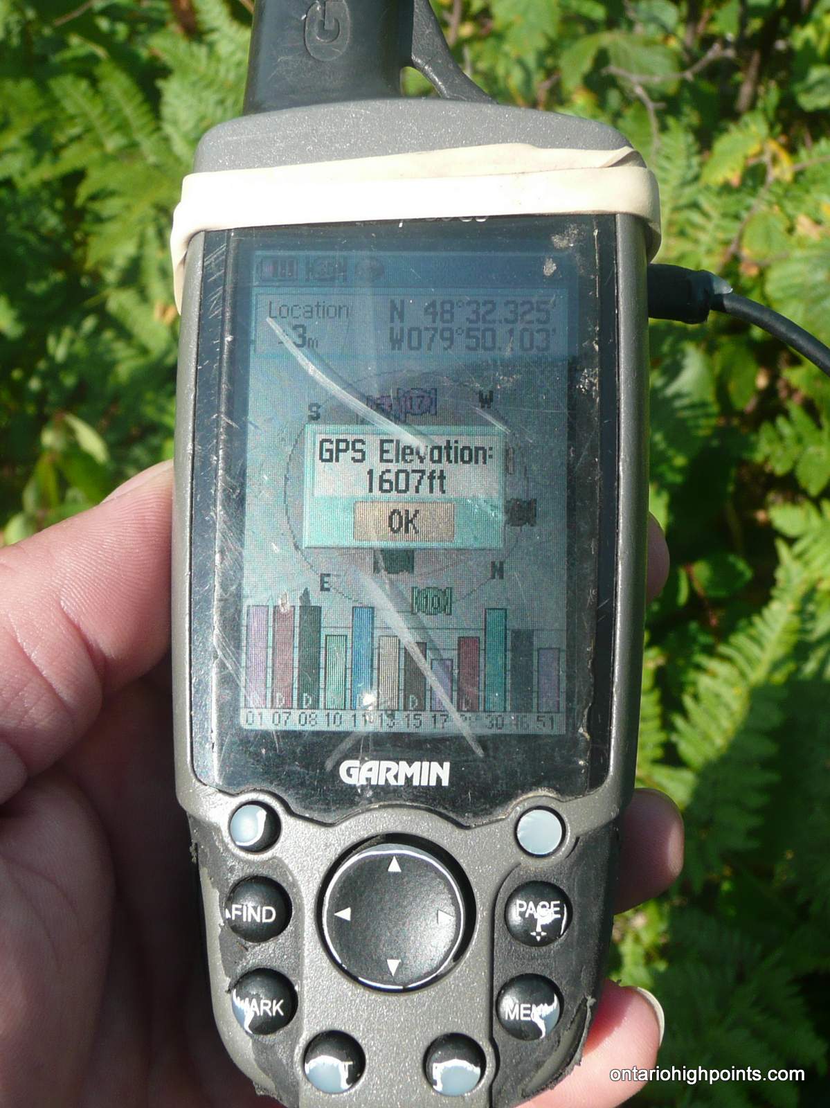
GPS recorded height: 1607 feet / 490 meters
Lat/Lon: N48 32.326 W79 50.106
Date Summited: July 31, 2017
Overview:
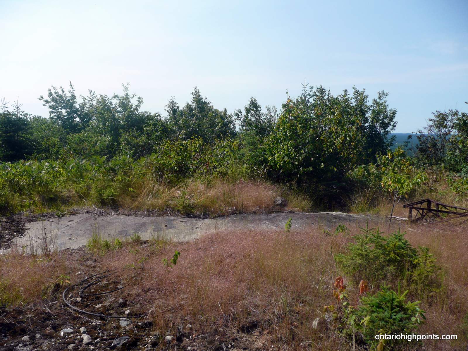
Ghost Range Peak is a 2.7 billion year old layered intrusion / sill located south of Lake Abitibi. It is the highest point in Ontario’s Cochrane District. It’s a short hike to the summit along trails that depart from a sand quarry located near the corner of Hwy 101 and Hwy 672. The fire tower that once stood at the summit was recently removed by Ontario’s Ministry of Natural Resources.
Directions:
From Kirkland Lake, Ontario follow Hwy 66 east for 14 km to the intersection with Hwy 672. Turn left (north) onto Hwy 672 and follow it north for 50 km to Hwy 101. Along the way you will pass Esker Lakes Provincial Park. Turn left (west) on Hwy 101 and follow it for 1.2 km to right onto an unnamed gravel road that leads north to an old sand quarry. Follow the gravel road for about 200 meters to a clearing and park.
A quad track leaves the east side of the clearing. Follow the track for about 400 meters to a fork. Turn left at the fork and follow the trail north for 1.6 km to a col northeast of the summit (N48 32.443 W79 49.791). Some sections of the trail are partially overgrown by dogwood and alders. At the col, a marked herd path branches to the left. A few stone steps are painted red and pink/orange flag tape adorn the trees. Follow the herd path southeast for 500 meters as it makes the final 300 feet ascent to the summit. The summit is in a group of bushes in the clearing where the fire tower once stood. There a good views just west of the summit.
View a larger version of the map
Trip Summary:
0.0 km – Departed Sand Quarry Trailhead along Quad Path (9:35 AM)
0.4 km – First Left Turn (9:41 AM)
2.0 km – Second Left Turn onto herd path (10:07 AM)
2.5 km – Arrived at summit of Ghost Range Peak (10:20 AM)
2.5 km – Departed summit (10:43 AM)
4.9 km – Arrived back at trailhead (11:19 AM)
Trip Report:
My 51st and final County High Point of Ontario. After an early morning departure from Sudbury followed by a 4 hour drive, I finally arrived at the sand quarry trailhead. There, I met up with Ben Lostracco, who was at the midpoint of his Quebec-Ontario Country High Point tour.
We had planned a 3 day hiking trip in order to complete the Ontario County High Point List together. There are 51 counties on the list and we both had ascended 50. The plan was for me to finish on Ghost Range Peak, followed by Ben the next day on Ishpatina Ridge North. Unfortunately Ben’s previous days’ hikes had been particularly difficult for him and so with these concerns, he decided to opt out of the trip to Ishpatina North Peak.
We departed the sand quarry shortly after I arrived. The hike was fairly straight-forward. Ben who had already bagged the peak years early directed me along the route. In a few spots, the quad trail we followed was a bit overgrown, but it was still pretty easy to follow. Once reaching the col, we turned onto the the painted stone/flagged herd path and followed it to the summit.
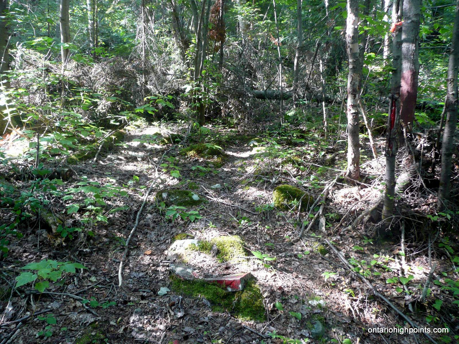
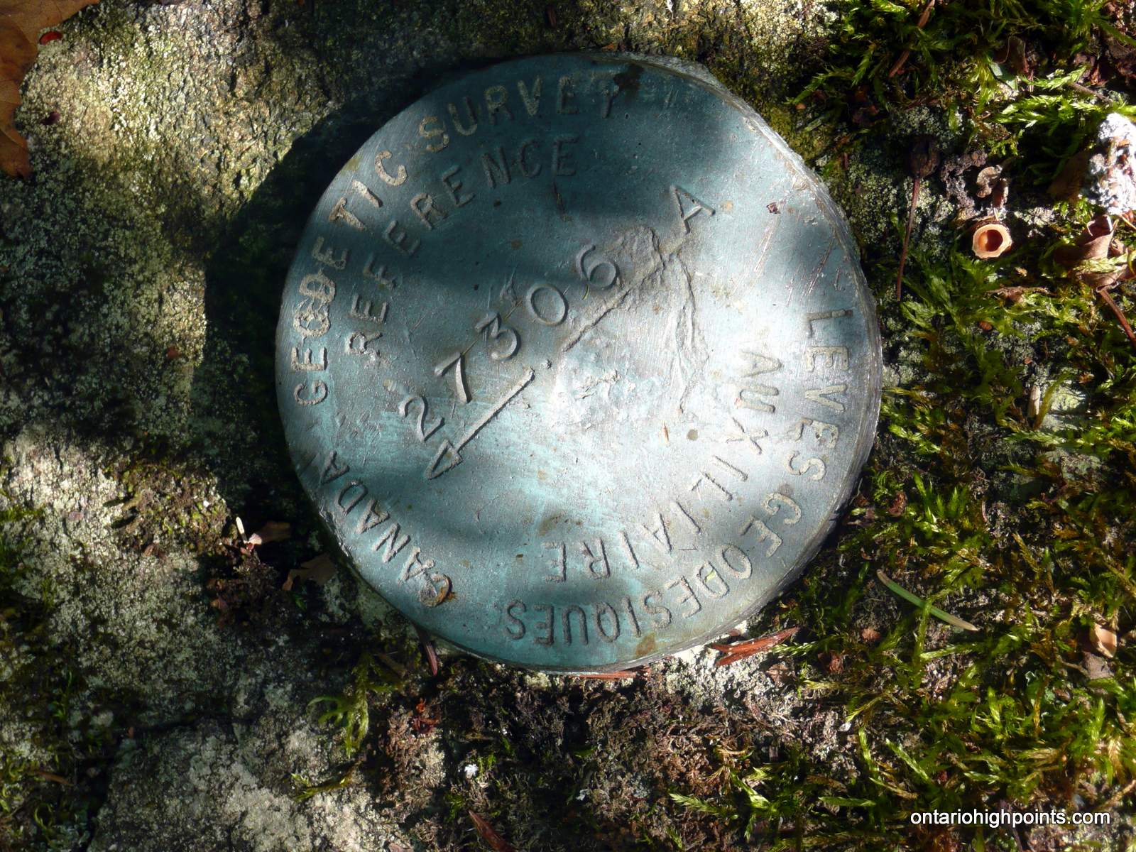
We arrived at the summit to find that the fire tower, that Ben had encountered on his 2012 visit, had been removed. (As we had decent views of the peak from the trailhead, and saw no fire tower this came as no surprise. — In recent years, the MNR has been removing many of Ontario’s old fire towers). We zero’ed in on the actual high point, took some photos and then enjoyed the views to the west. We found a survey marker along the trail, just east of the summit.
After a quick descent, we arrived back at our vans. We had a long chat about hiking and peakbagging before I began the drive back to Sudbury.
Gallery:
-
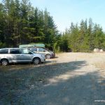
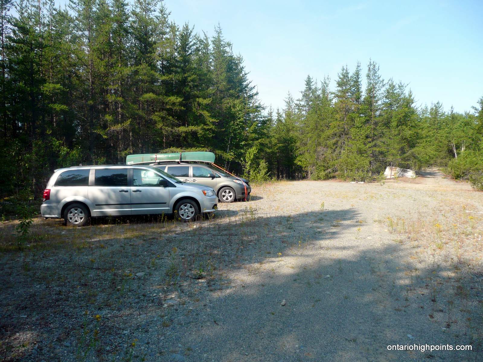
- Vans parked at the sand quarry
-
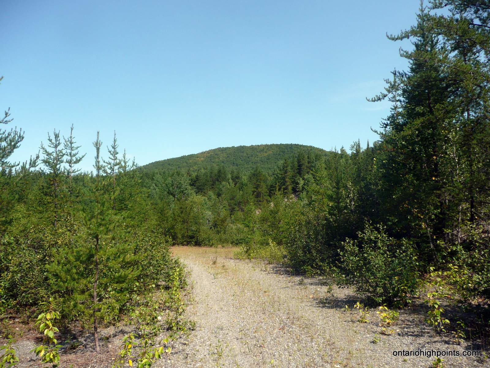
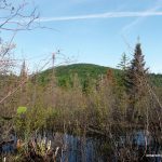
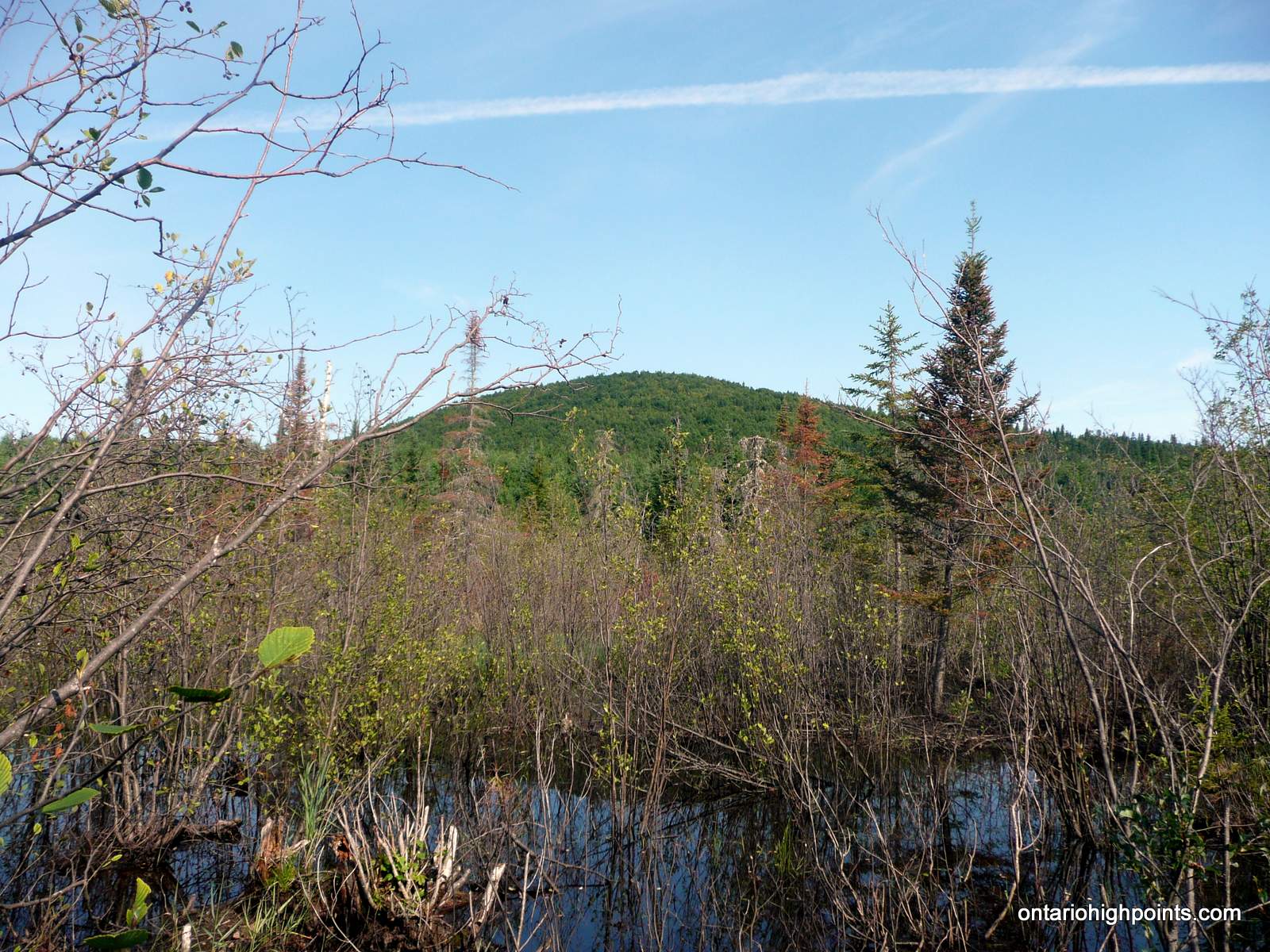
- View of Ghost Range Peak from the sand quarry
-
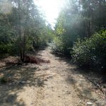
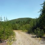
- Quad path

-
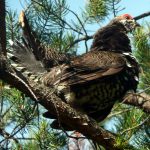
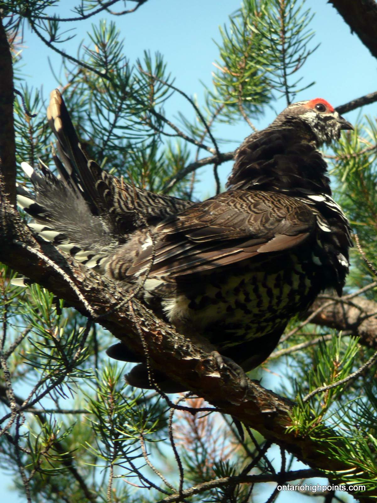
- Grouse in a tree
-
- Shallow beaver pond / Ghost Range Peak
-
- Left turn onto trail to Ghost Range Peak
-
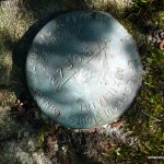
- Survey Monument
-
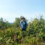
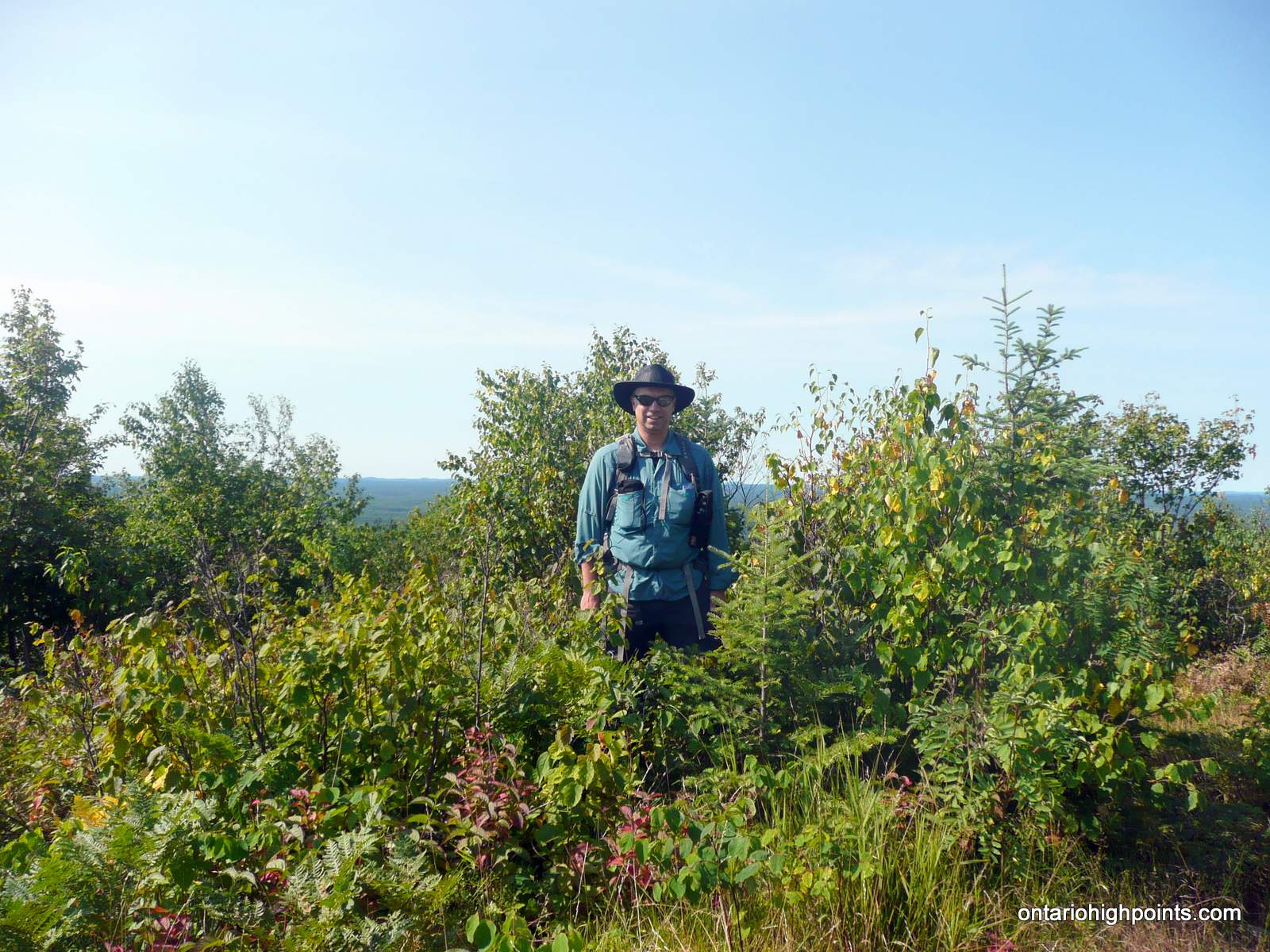
- At the summit
-
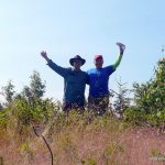
- Ben and Derek at the summit

-
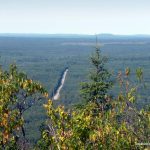
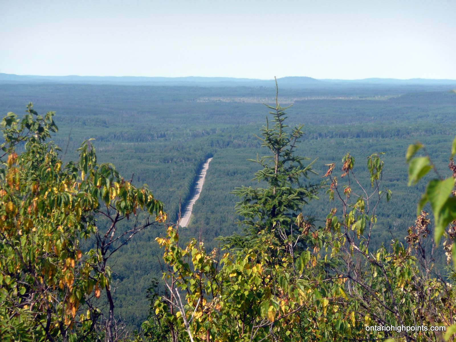
- Hwy 101 from Ghost Range Peak
-
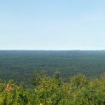
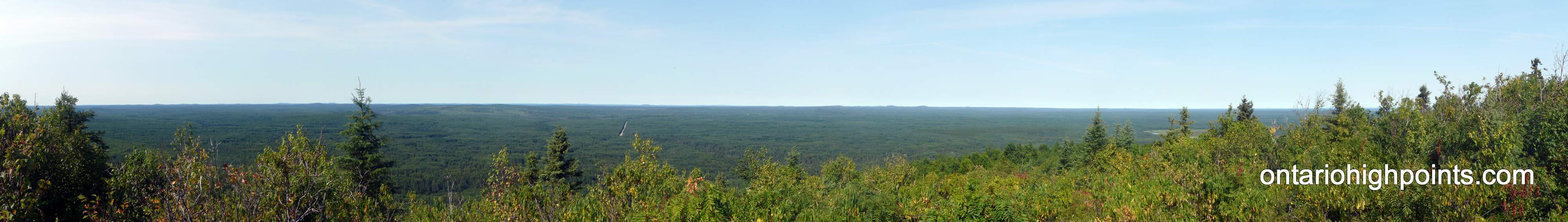
- Panoramic view at the summit
-
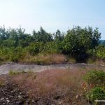
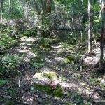
- Summit area
-
- GPS Elevation
GPS Tracklog (GPX Format):
Related Links: