Mount Baldy
Posted by Derek on Nov 18, 2014

Mount Baldy as seen from Crossover Road
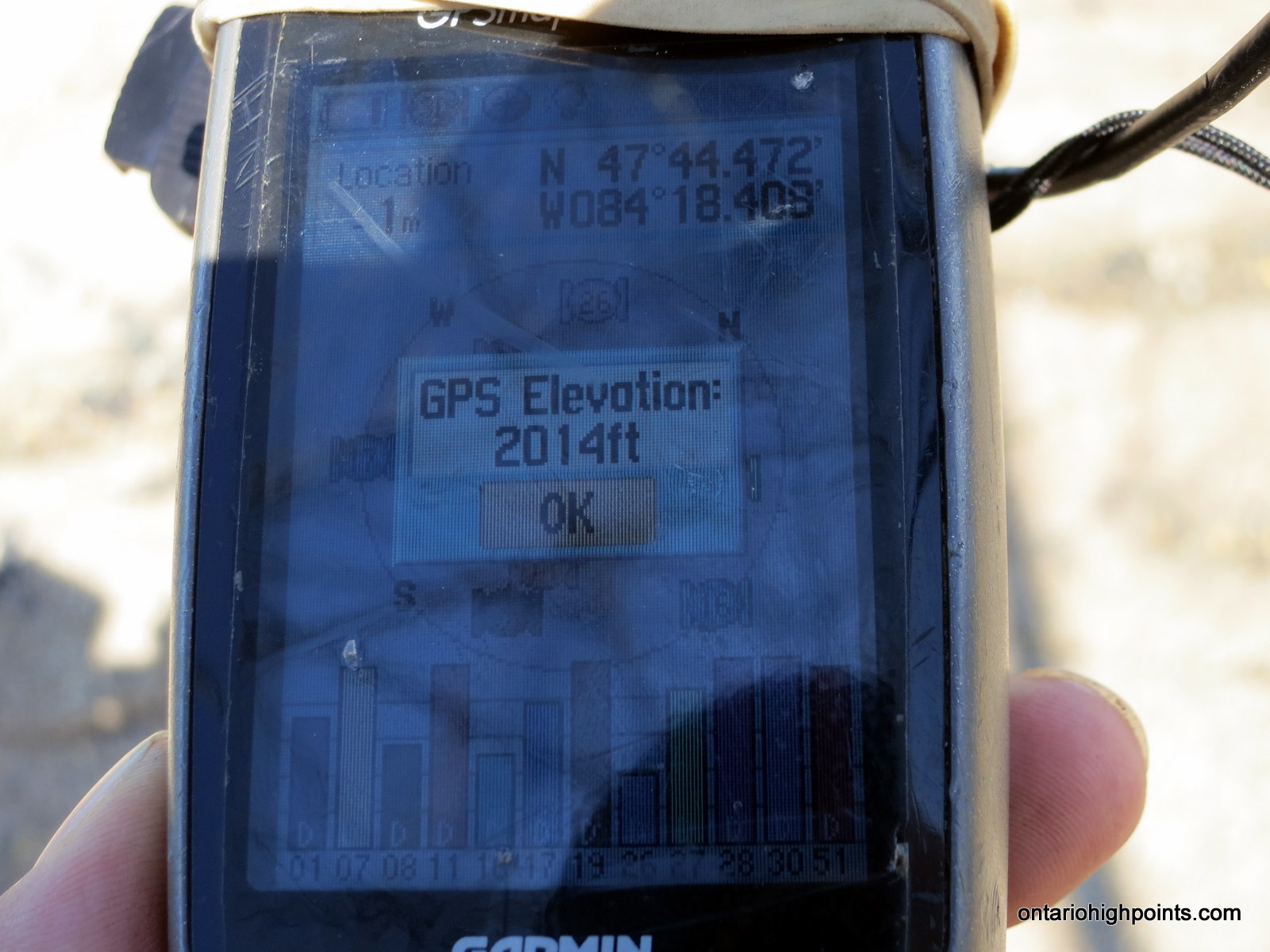
GPS recorded height: 2014 feet / 614 meters
Lat/Lon: N47 44.471 W84 18.407
Date Summited: August 14, 2014
Overview:
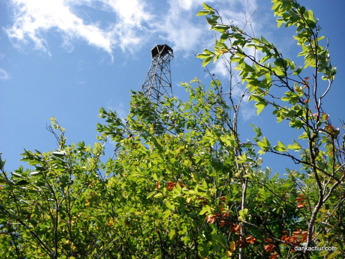
Located 44 km southeast of Wawa, Mount Baldy is a prominent hill which rises above the nearby Agawa River. The bare rock summit is crowned by an old fire tower. Unlike most peaks in Ontario, Mount Baldy provides unencumbered 360 degree views. It is a short bushwhack to the summit from nearby Crossover Road.
Directions:
From Wawa, travel 37 km east along HW 101 to the turnoff onto Tik Road. Turn right (south) onto the well maintained logging right (Tik Road) and drive for 29.5 km to a major fork. Turn left (east) at the fork onto Crossover Road.
5.2 km from the intersection of Tik/Crossover, the road passes it’s closest approach (1.2 km) with Mt. Baldy. Park at the pulloff near an overgrown skidder path. There are at least 2 options for ascending: 1) via the south ridge or 2) via the south valley.
To ascend via the south ridge, follow the skidder path north and then east for 350m until it ends at the foot of the ridge. Follow the steepening ridge north-northwest for 1.5 km. For the final 150m of the ascent, skirt the southern cliffs by heading to the northeast side of the mountain and ascend through a narrow bushy passageway.
To ascend via the south valley, backtrack 100m west along Crossover road and then bushwhack north along the fields of lumber debris to the beaver pond. The first 700m of the hike is through level, but thick forest regrowth, after which the ascent steepens as the valley takes shape. Ascend north up the valley and meet up with the southern ridge which intercepts the peak on it’s eastern shoulder. As per the ridge route, skirt the southern cliffs and ascend the final 150m from the northeast.
View a larger version of the map
Trip Summary:
00.0 km – Turned right from HW 101 onto Tik Road (7:45 AM)
29.5 km – Millwood side trip (8:26 AM)
29.5 km – Turned left onto Crossover Road (9:35 AM)
34.7 km – Closest approach to Mt. Baldy along Crossover Road (9:45 AM)
00.0 km – Start of Bushwhack to Mt. Baldy (10:10 AM)
01.9 km – Arrived at Summit of Mt. Baldy (11:25 AM)
00.0 km – Departed Summit of Mt. Baldy (12:45 PM)
01.7 km – Arrived back at Crossover Road (1:37 PM)
Trip Report:
After overnighting in Wawa, our original objective was a long day hike to Parch Creek Peak East. Unfortunately, one of the roads central to our plans (Rainer Lake Road) was in much worse condition than we had hoped and we had to abort our hike. That left Dan and I open for another hike. We had known about Mount Baldy from our previous trip to Blackspruce Lake Peak, and even though it wasn’t one of my 2100 footer peaks, it fit our criteria for a worthy hiking destination: a peak with a fire tower, a bald summit with views, close proximity to a road, and it was just down the road from us!
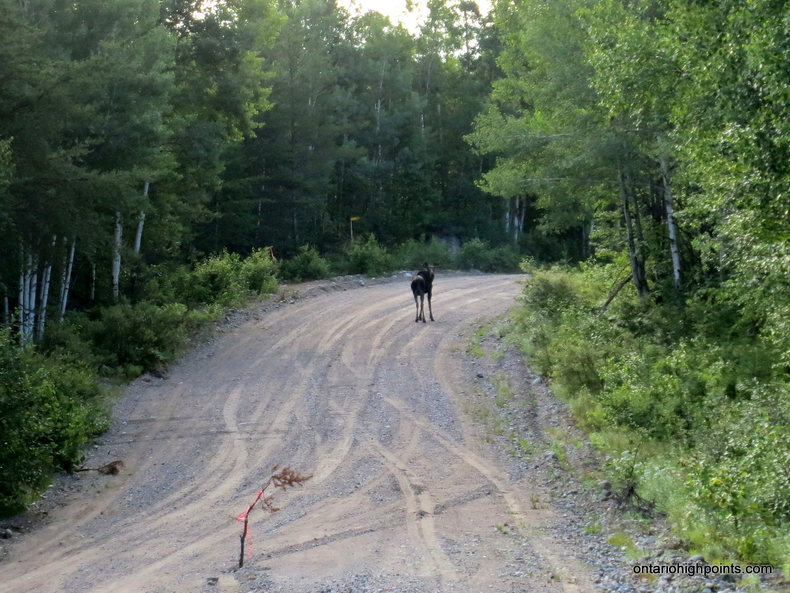
We arrived in the area via an early morning drive south along Tik Road from Hwy 101. Along the way, we spotted a moose walking down the middle of the road. Expectedly, as we approached it to get to a more advantageous position for photos, it suddenly turned and fled into the woods.
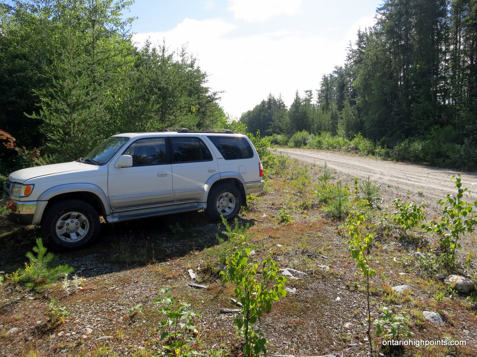
After our aborted hike to Parch Creek Peak East, we arrived at the intersection of Tik, Millwood and Crossover Roads. We turned onto Crossover Road and drove for 5.2 km to a parking pulloff at the start of an overgrown skidder path. As we hadn’t come prepared to ascend Mt. Baldy, we had to study our topographic maps for a viable route up the mountain. Even though it was only 1.2 km from the road to the top of peak, we were concerned about the shear cliffs at the upper reaches of the summit. We decided to ascend via a south ridge that looked to skirt the cliffs.
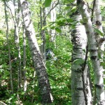
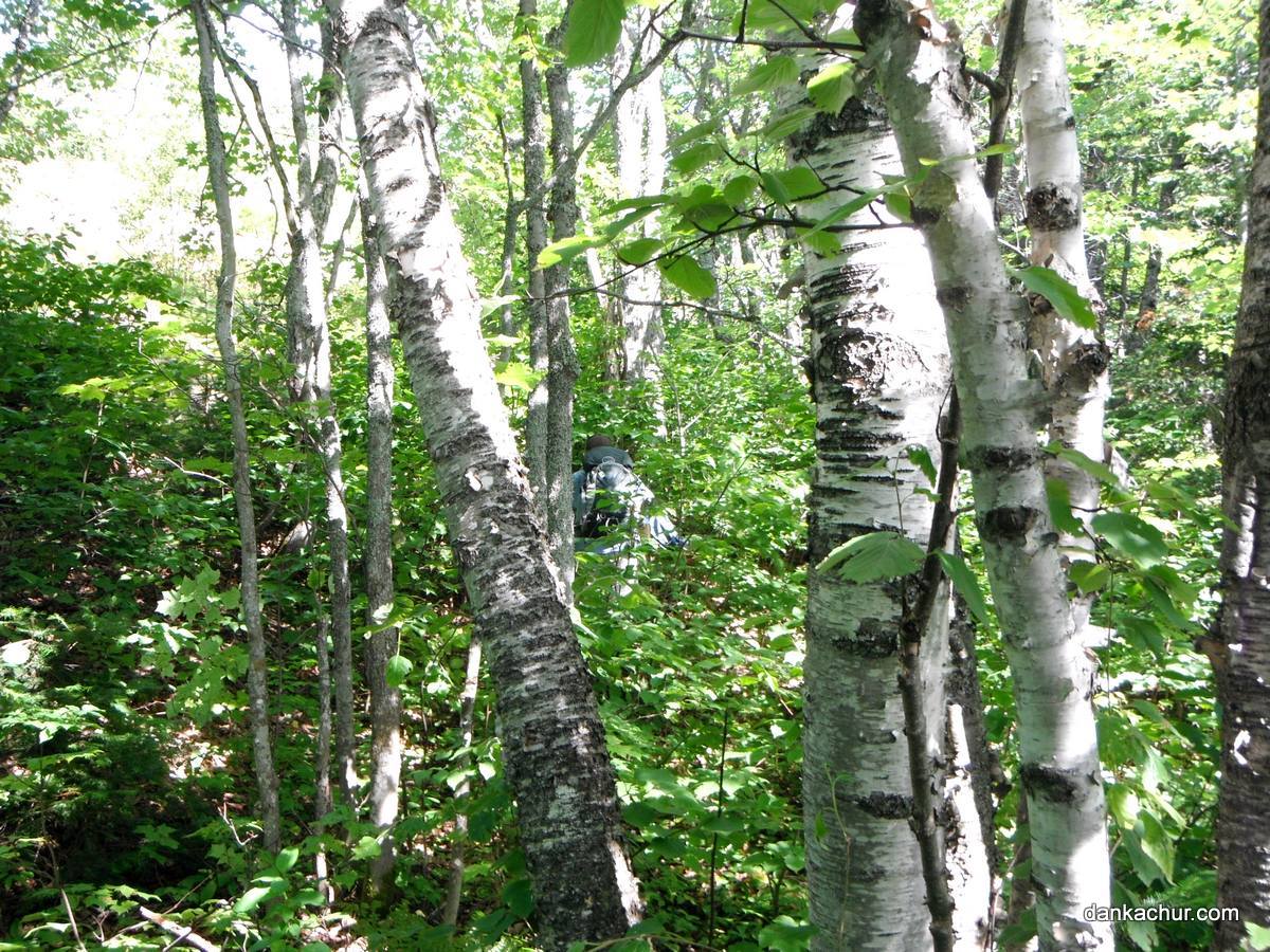
The first half kilometer of the hike was through forest regrowth (recovering from recent logging) which was thick with young tag alder and other small trees. The old skidder path heading north from Crossover road made the initial progress fairly easy. After 150 meters the road veered east and we followed it to a height of land that marked the start of our ridge ascent. The road ended and we began thrashing our way north-northeast. As the climb steepened, we left behind the thick forest regrowth and entered a mature forest which made for easier walking.
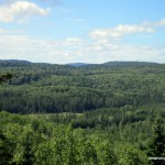
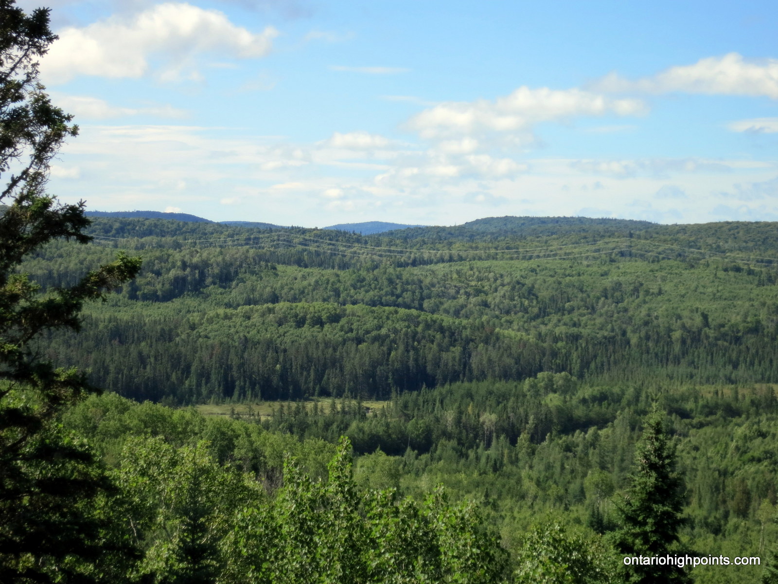
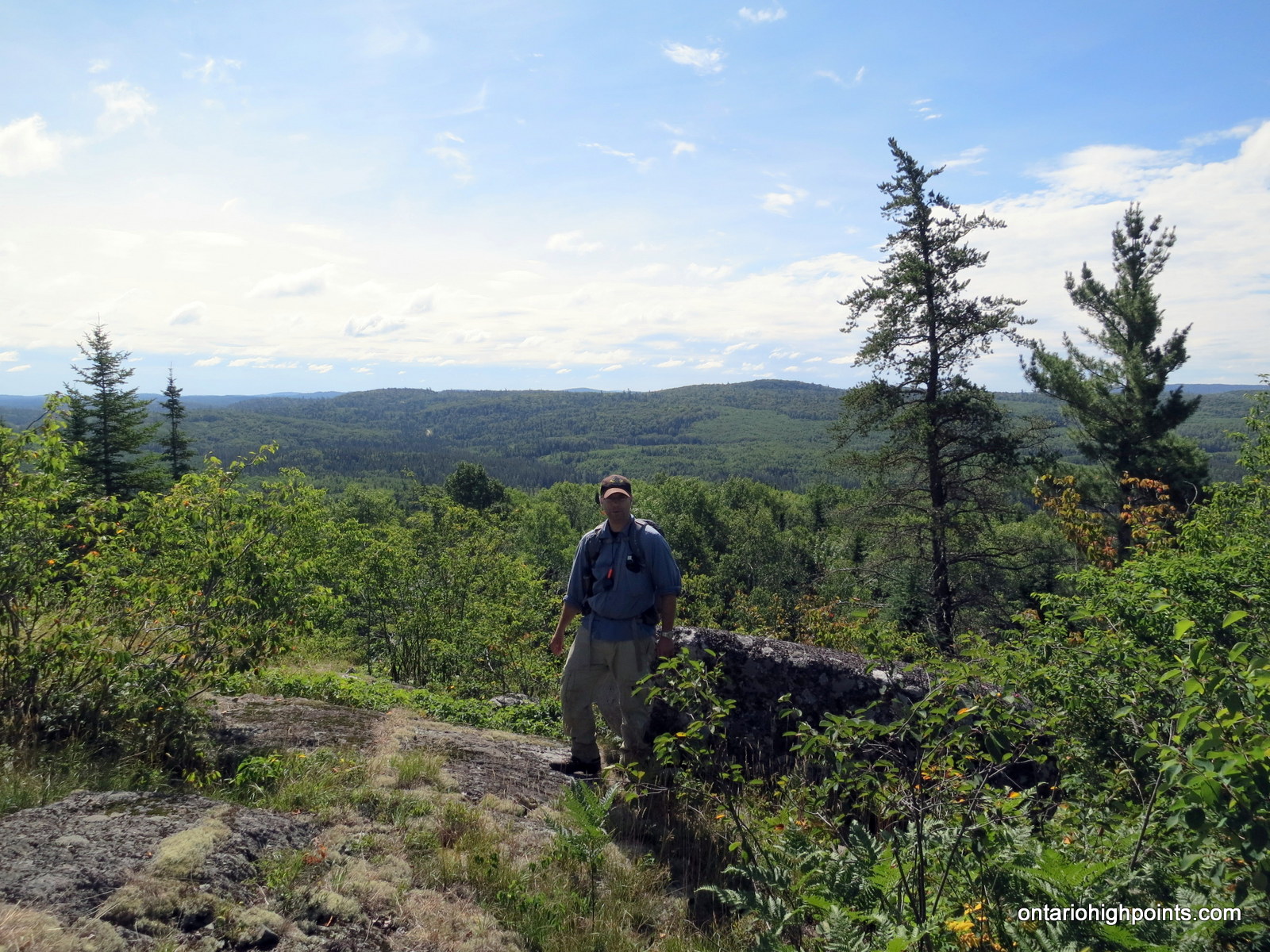
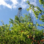
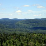
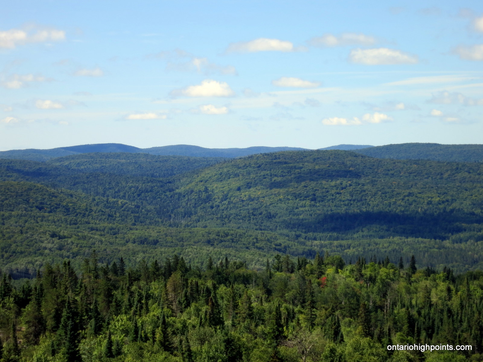
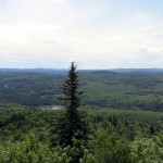
As we ascended the ridge, we traversed through alternating mixed forest and steep rocky meadows which revealed views of the Algoma hills to the south. The ridge soon leveled out and as we got our first views of the fire tower at the summit, we realized that we had reached the bottom of the rock face we had spotted from the road. After exploring the area, Dan found a route around the cliffs up through a narrow passage of thick trees and bushes.
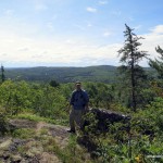
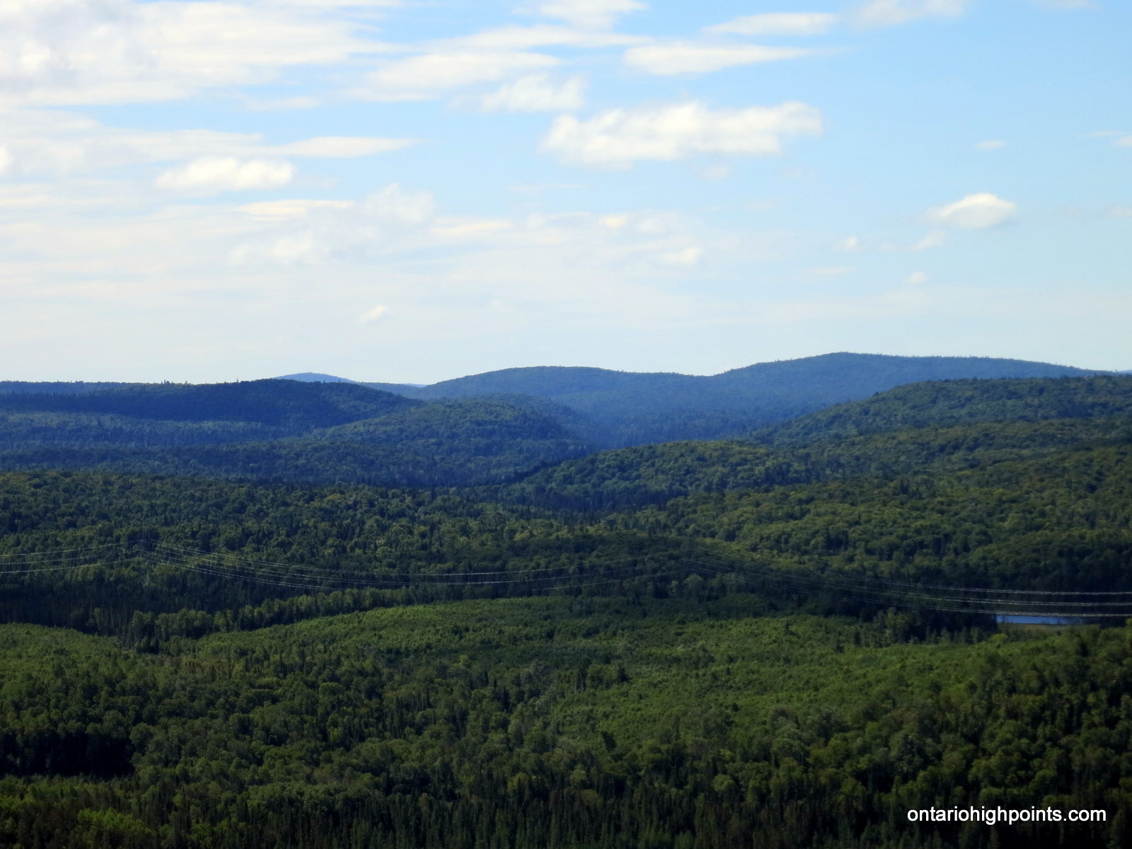
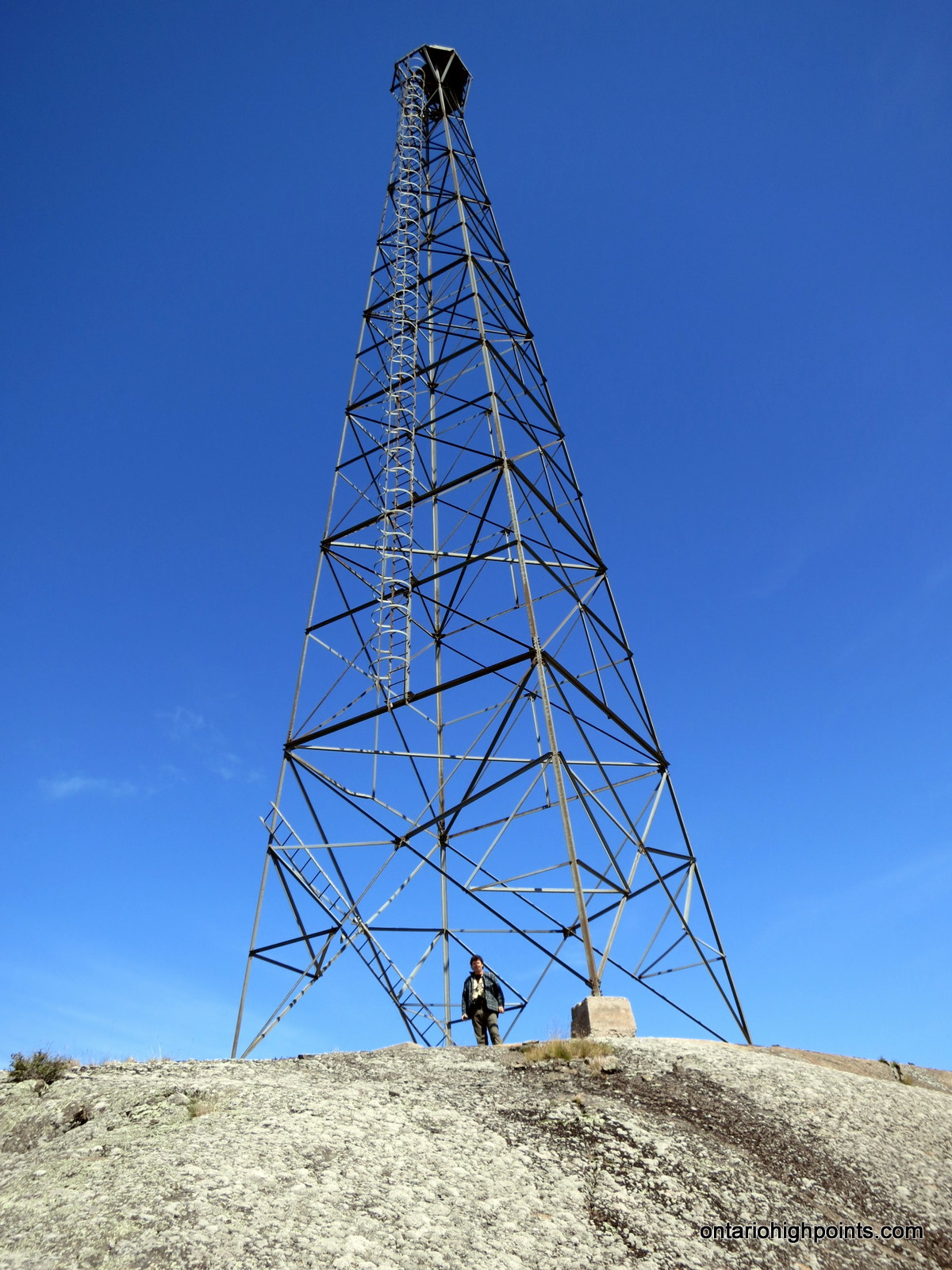
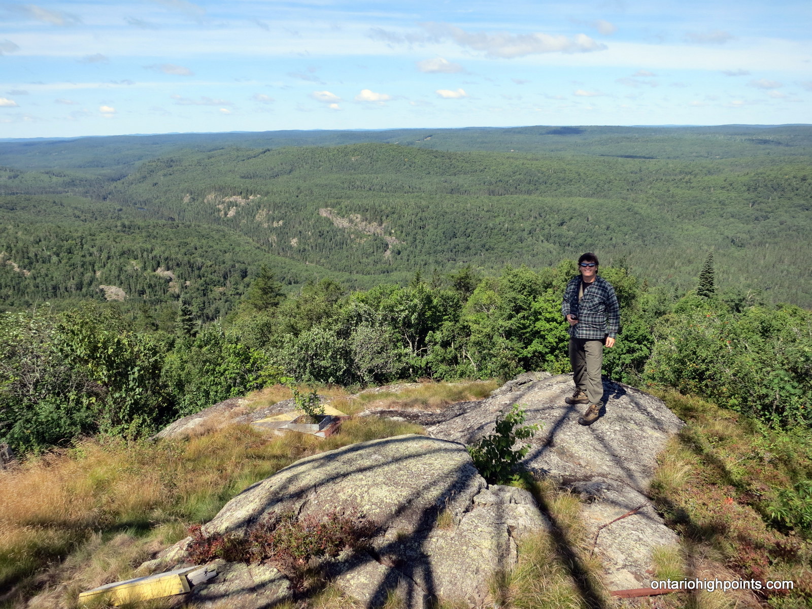
We emerged onto the windy bald rock summit and were greeted by extraordinary 360 degree views. The fire tower, centered directly on top of the narrow summit, was bolted onto eroded footings, the cupola remains were strewn about the area. The views on this sunny day were impressive and we were able to make out the Parch Creek Peak Range as well as Blackspruce Lake Peak and Austin Lake Peak — now bereft of its fire tower.
After soaking up the scenery, we departed the summit and began the steep descent back down through the trees. After reaching the base of the cliffs, we elected to try a different route off the mountain. The ridge route up was impressive, but had steep sections that perhaps would be dangerous during a descent. We decided to try descending via a valley which ran straight south from our position.
The ‘valley way’ although sometimes wet and mosquito infested, was nonetheless a gradual and direct route off the mountain. We followed a dry creek bed and descended though fern covered forest floor and around occasional deadfall obstacles. As the route leveled out near the base of the mountain, we deviated slightly to the east to avoid a beaver pond and emerged onto fields of discarded lumber waste. After carefully hobbling across the discarded wood, we arrived back at Crossover Road. We walked the final 100m east down the road to the parked truck.
Gallery:
-
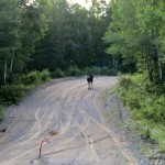
- Moose on Tik Road
-
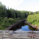
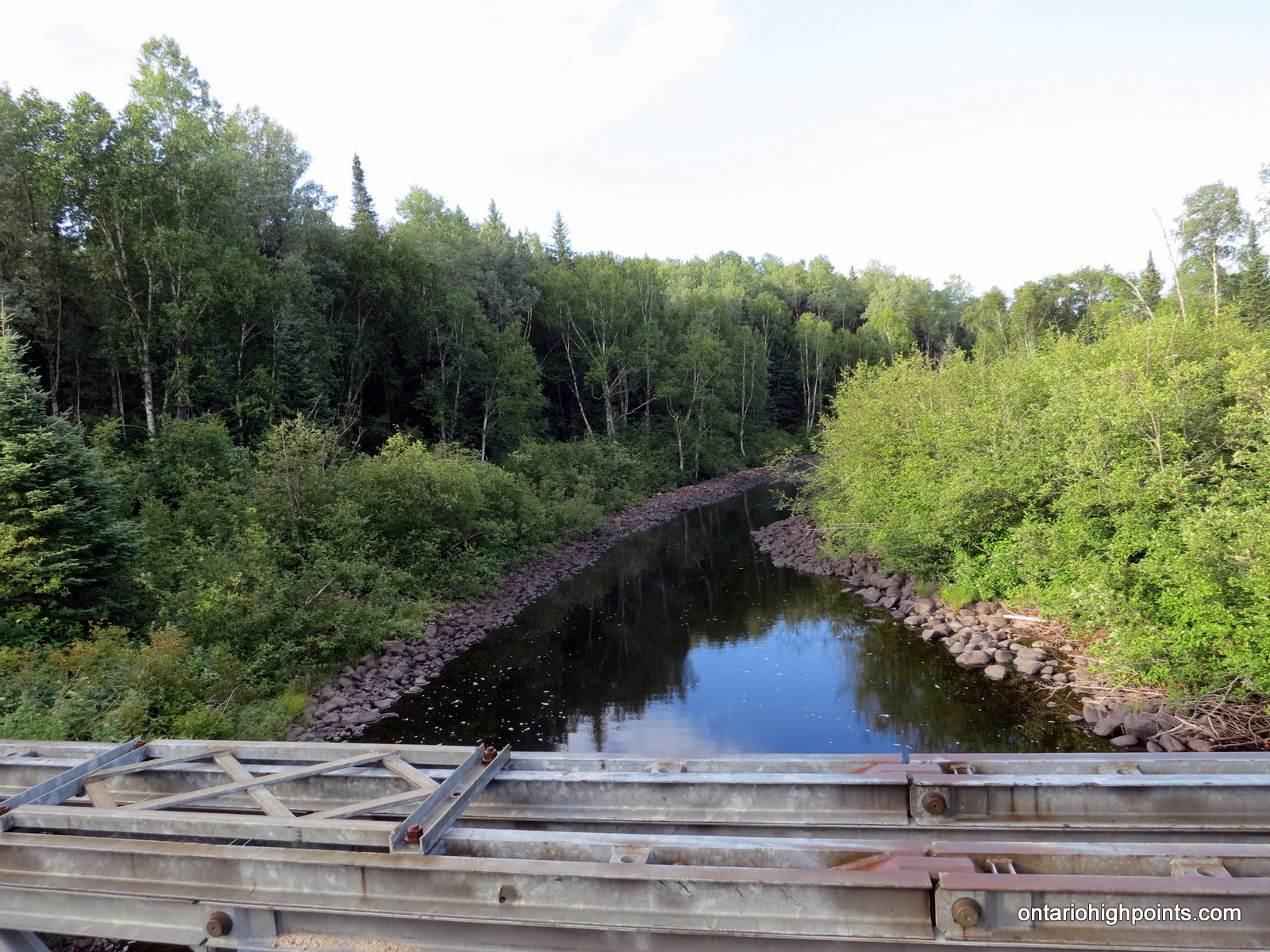
- Bridge over Agawa River
-
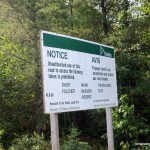
- Prohibited Lakes

-
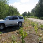
- Parking spot for Mt. Baldy
-
- Bushwhacking
-
- First view on the way up
-
- Climbing the ridge
-
- Closing in on Mt. Baldy Fire Tower
-
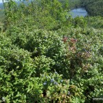
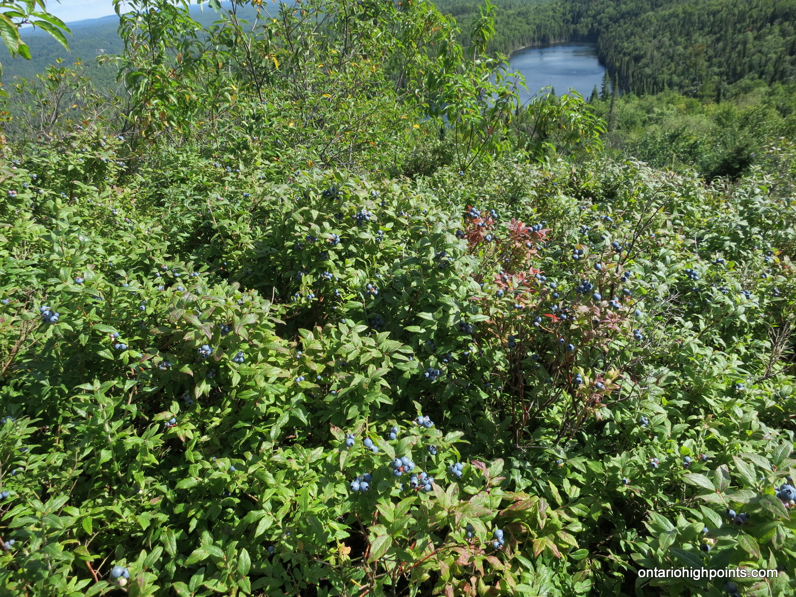
- Blueberry bushes on the summit
-
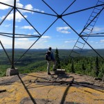
- Summit of Mt. Baldy

-
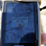
- GPS Elevation
-
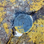
- Geodetic monument #1

-
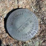
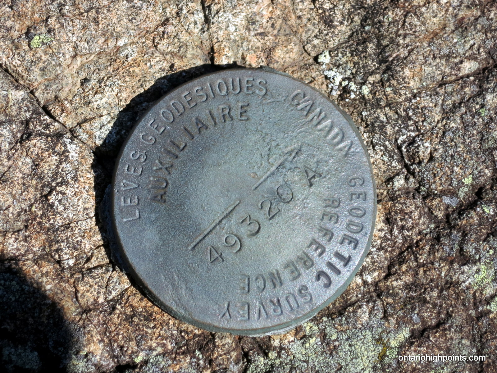
- Geodetic monument #2
-
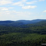
- Austin, Blackspruce Lake Peaks (Left to Right)
-
- Parch Creek East & West, Nailhead Peaks
-
- Panoramic south from the summit
-
- Panoramic north from the summit

-

- Looking up at the fire tower
-
- Mt. Baldy Fire Tower
-
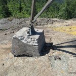
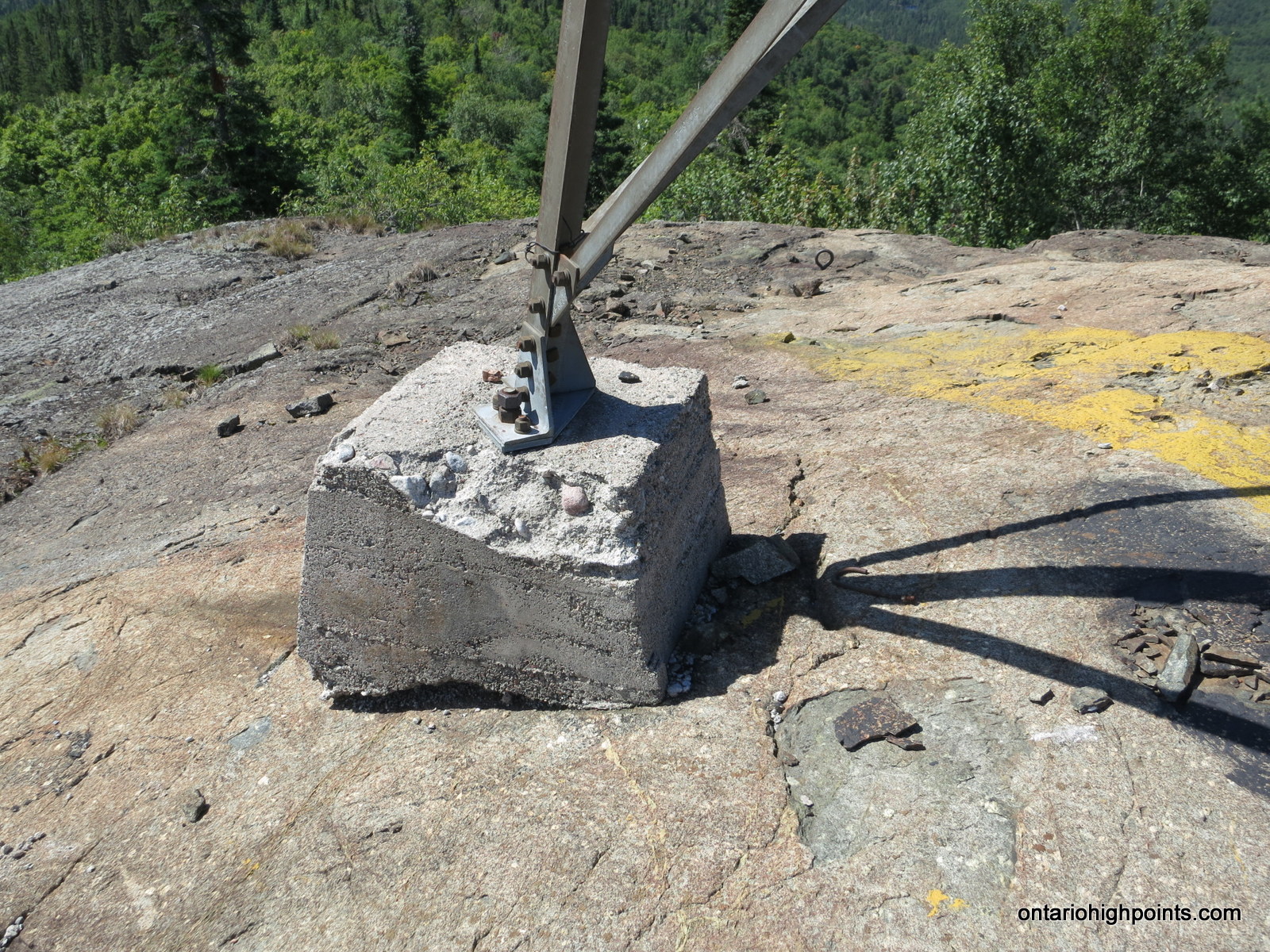
- Fire tower concrete footing
-
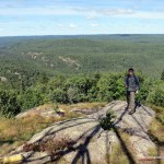
- Dan enjoying the views
Videos:
Mount Baldy GPS Track (.gpx format)
Related Links: