Alvin Lake Peak
Posted by Derek on Aug 17, 2012

Alvin Lake Peak from Grey Owl Peak
Height: 2116 feet / 645 meters
Lat/Lon: N47.2455 W84.2731
Clean Prominence: 781 feet / 238 meters
Line Parent: Ogidaki Mt
Key Col: N47 20.237 W83 59.589 (1345ft / 410m)
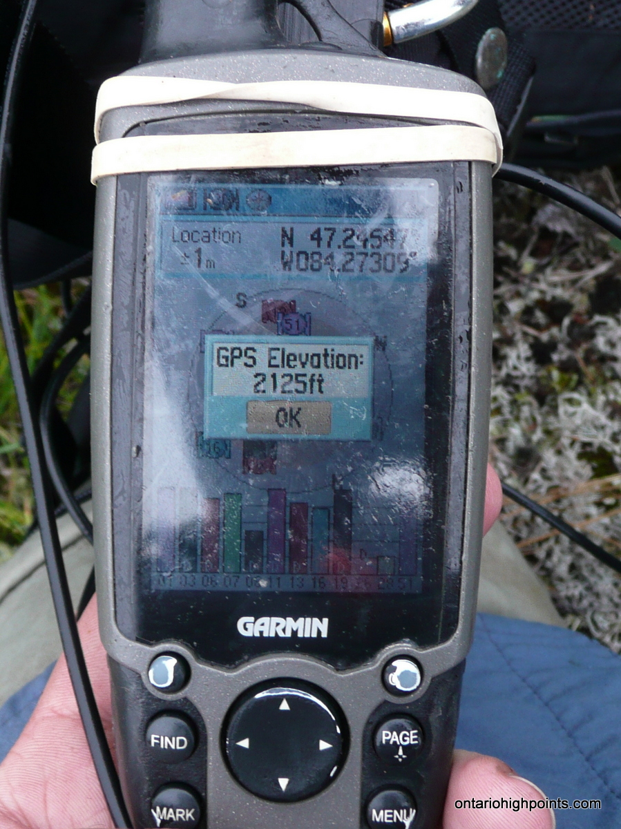
GPS recorded height: 2125 feet / 648 meters
Date Summited: August 2, 2012
Overview:
Located 8 km south of the Montreal River and 5 km west of Grey Owl Lake, Alvin Lake Peak is a 2116 foot hill residing in the remote Algoma Highland wilderness. Officially the peak is unnamed, but in keeping with naming conventions, it has been given the name of the closest significant body of water: Alvin Lake, which is 2 km north of the peak. Interestingly, Alvin Lake does not drain into nearby Montreal River, but in fact is in the Batchawana River watershed. The Algoma Central Railway near the old Rand station passes within 8 km of the summit.
Directions::
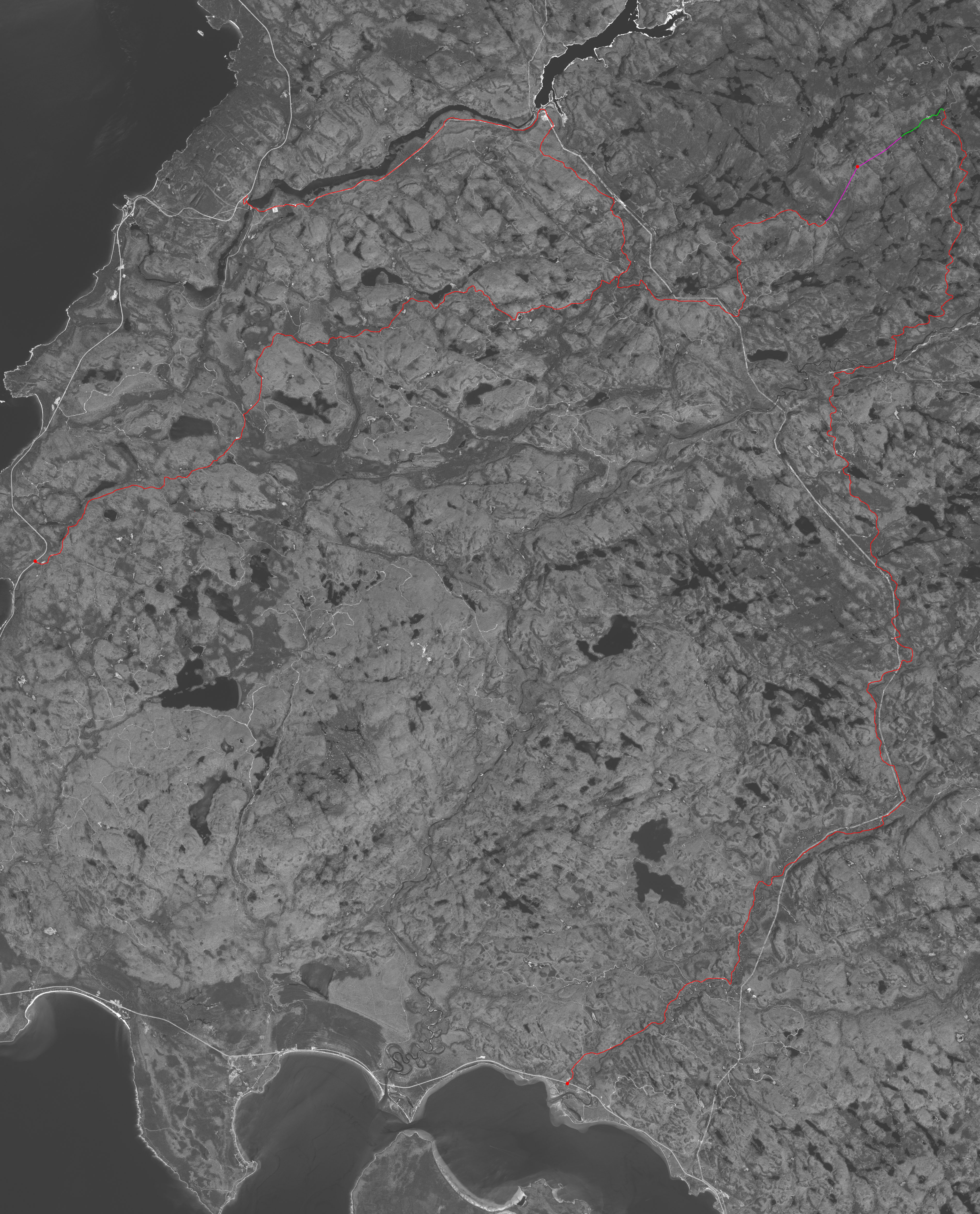
There is no trail to Alvin Lake Peak, however roads: Mile 38 and Mile 67/Mile 92 pass within 3.8 km and 2.8 km respectively of the summit. Since Mile 67 is much better maintained than Mile 38, this is the best approach to the mountain. The well maintained Mile 92 (Montreal River Power Dam Road) which follows the southern shoreline of the Montreal River Reservoir to Mackay Dam is another way to gain access the mountain as it connects with Mile 67 at kilometer 32, however the road is gated and requires a key.
Mile 67 Roads begins 36 km beyond Batchawana Bay on Highway 17 at N47 07.114 W84 41.915. The road crosses and forks many roads on it’s 46 km journey to the base of Alvin Lake Peak. (It’s highly recommended to make use of the attached GPS file when navigating this road). There are left turns at these major intersections: 6.2 km, 18.0 km, 26.9 km. At 32 km Mile 92 road connects in from the left. Keep right at this intersection and proceed to the Algoma Railway Crossing near Rand Station at 37.8 km. Beyond the railway crossing the road narrows and becomes rougher, but high clearance vehicles should be able to make it all the way to the start of the bushwhack near the road termination at 46.3 km (N47 13.383 W84 17.329).
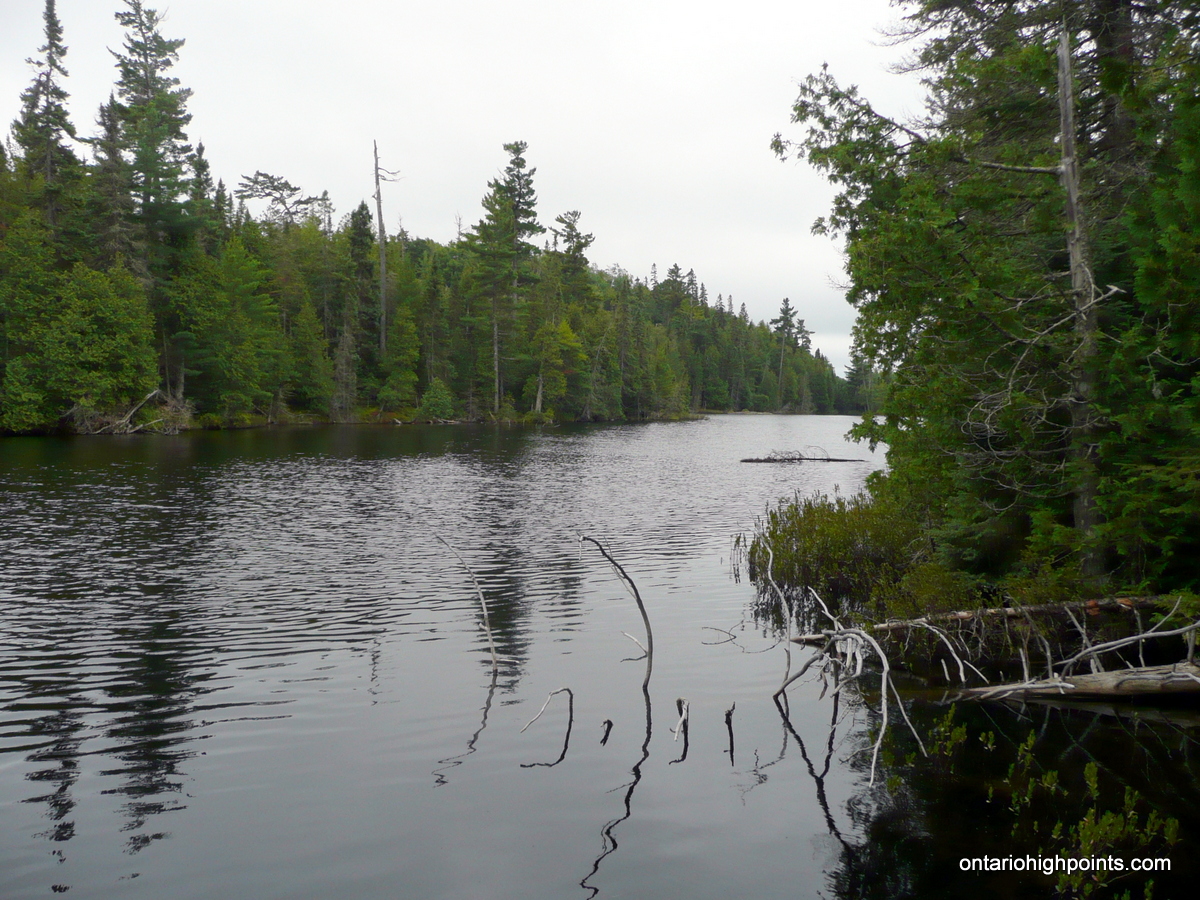
Before the slopes of Alvin Lake Peak can be ascended, navigate a large marshland and creek which runs roughly parallel to Mile 67 Road. The easiest way to cross it is to head west from the road and walk along the top of a beaver dam located at N47 13.448 W84 17.026. Beyond the beaver dam, head northwest, gaining elevation and head towards an unnamed lake. A creek which flows southwest from the lake along an uncharacteristically steep chasm can be crossed via a beaver dam situated along the lake shore.
Follow the west edge of the lake until reaching the northern shore and then head north for 1.5 km though forest. Large white pines which survived logging dot the area. Just south of the Alvin Lake Peak summit area, a small pond must be circumvented. It is more direct to round the lake on the eastern edge to reach the more moderate south slopes up to the summit as the western side of Alvin Lake Peak is dominated by steep rock cliffs.
Once gaining the top of the last steep pitch, proceed northwest across the mostly open summit area though grass and exposed rock outcrops to the highest point on the mountain at N47 14.728 W84 16.387. On clear days, there should be good views west to Peak 637 atop the western cliffs.
View a larger version of the map
Trip Summary:
00.0 km – Departed Highway 17 on Mile 67 Road (8:40 AM)
06.2 km – Left at fork on Mile 67 Road (8:55 AM)
18.0 km – Left at fork on Mile 67 Road (9:15 AM)
26.9 km – Left at fork on Mile 67 Road (9:45 AM)
32.0 km – Right at fork on Mile 67 Road (9:57 AM)
37.8 km – Algoma Central Railway Crossing (10:15 AM)
46.3 km – Parking along shoulder near start of bushwhack (11:00 AM)
00.0 km – Beginning of bushwhack at Mile 67 Road (11:20 AM)
00.6 km – Beaver dam crossing across creek/marshland (11:40 AM)
01.3 km – Beaver dam crossing #2 at end of lake (12:15 PM)
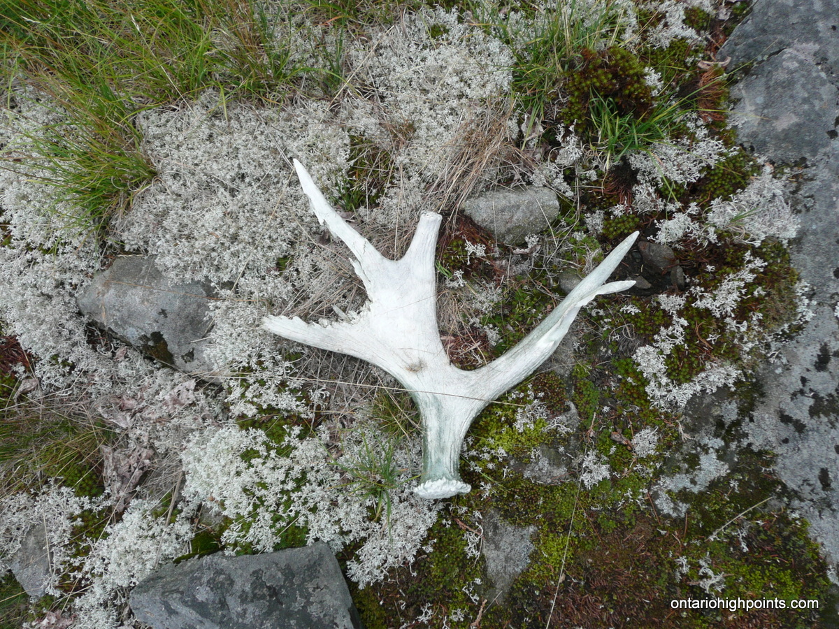
02.9 km – Clearing with views and moose antler (1:18 PM)
03.9 km – Arrived at Alvin Lake Peak summit (2:00 PM)
03.9 km – Departed Alvin Lake Peak summit (2:30 PM)
07.5 km – Arrived back at the truck (4:50 PM)
00.0 km – Departed parking area at start of bushwhack (5:00 PM)
46.3 km – Arrived back at Highway 17 (6:55 PM)
Trip Report:
My second day in Algoma. I met up with Dan Kachur for breakfast at the Voyageur Cookhouse at Batchawana Bay where we got acquainted and discussed our route to Alvin Lake Peak. In previous discussions with Dan, he had convinced me to change my plan of approaching the peak from Mile 38 Road and instead head in from the west along Mile 67 Road. He had driven in on Mile 38 Road and reported it was in rough shape beyond McDonald Creek and that the bridges over the Batchawana River were for ATVs only. He also had it on good authority that Mile 67 Road had been much improved and he should be able drive right to the end in his Toyoto 4×4 pickup. He was also told the approximate location of a beaver dam which we would need to find if we wanted to cross the marshland without getting our feet soaked.
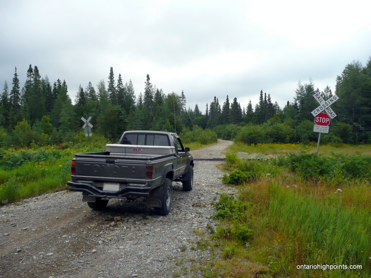
After parking my car and transferring my gear for the day into Dan’s truck, we headed up Highway 17 to the intersection with Mile 67 Road. Once turning onto Mile 67 we discovered that the road was in great shape and we were able to drive at a comfortable pace. In preparation for the trip, I had loaded the route complete with the 30 turns I had traced out using Google Maps onto my GPS. Although most of the turns were fairly obvious, it was good to have this information and we found our way to the intersection with Mile 92 Road at N47 12.667 W84 23.746. Turning right at the intersection, we made our way west, past the roads into Rand station to the Algoma Central Railway tracks. We took a brief break, snapped some photos of the area and then crossed the tracks and headed up the road.
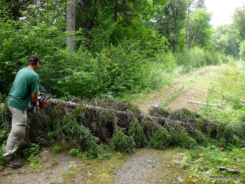
Beyond the railway tracks the road narrowed and we encountered a few washouts — some of them required some minor road maintenance. At one section of the road some trees had fallen across the road. Luckily Dan had prepared for this and brought his chainsaw. We each took our turns sawing up the trees and in no time we had the road cleared and we continued on. As the road changed it’s course from north to east, we got a good view of some high hills through the trees which I determined to be part of the Alvin Lake Peak Ridge: Peaks 637 & 634.
Just before reaching the end of the road, we diverged off the main road onto a side road and headed down towards a small lake to explore our options for crossing a wetland which intersected our route to Alvin Lake Peak. The bush road ended at an improvised campsite at a small lake, so we got out and looked around. There didn’t appear to be any way to cross here, so we got back in the truck and headed back to the main road. Dan had heard about a beaver crossing further south, so we decided we would look for it instead.
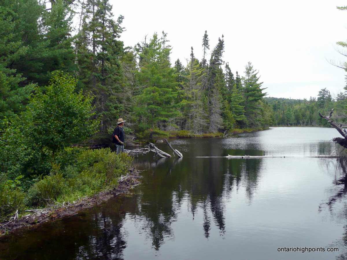
500 meters past the campsite turnoff, we had reached the end of the road. We parked the truck, geared up for our hike and then headed east through the thickly wooded forest towards the wetlands. As the forest gave way to the flooded wetland, we were able to spot a mound a few hundred feet to our north that appeared to be a beaver dam — right where Dan’s sources said it would be. We backtracked into the forest and headed north until we emerged from the forest onto a narrow but long beaver dam that spanned the entire width of the wetland. We were able to make the crossing and keep our feet dry for our journey ahead.
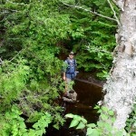
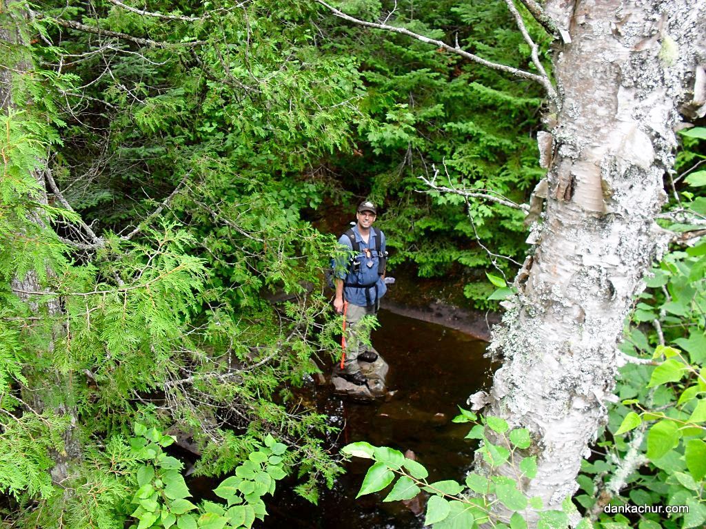
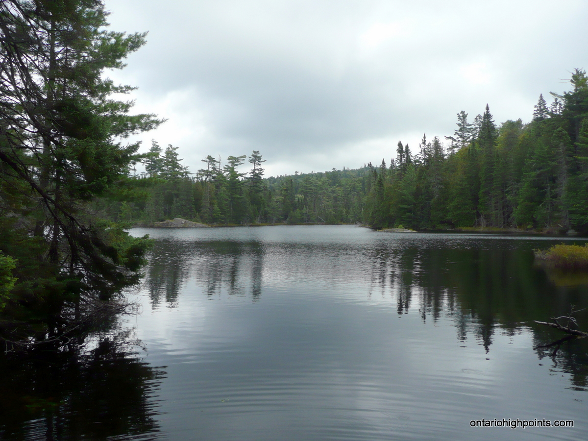
Our hike to Alvin Lake Peak was made difficult by the thick bush that slowed our passage through the woods. As we neared a lake we arrived at the edge of a small but steep canyon. A small creek flowing from the lake ran along the bottom. We were able to cross it via a beaver dam built up along the shore of the picturesque lake. Past the lake we headed north into mixed forest, with everything from towering white pines to gnarled maple trees and thick tag alder. Several interesting rock outcrops with large quartz veins caught our interest and we investigated them for gold without success.
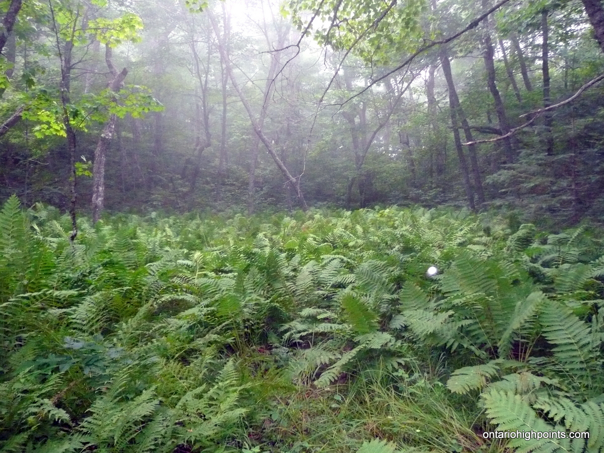
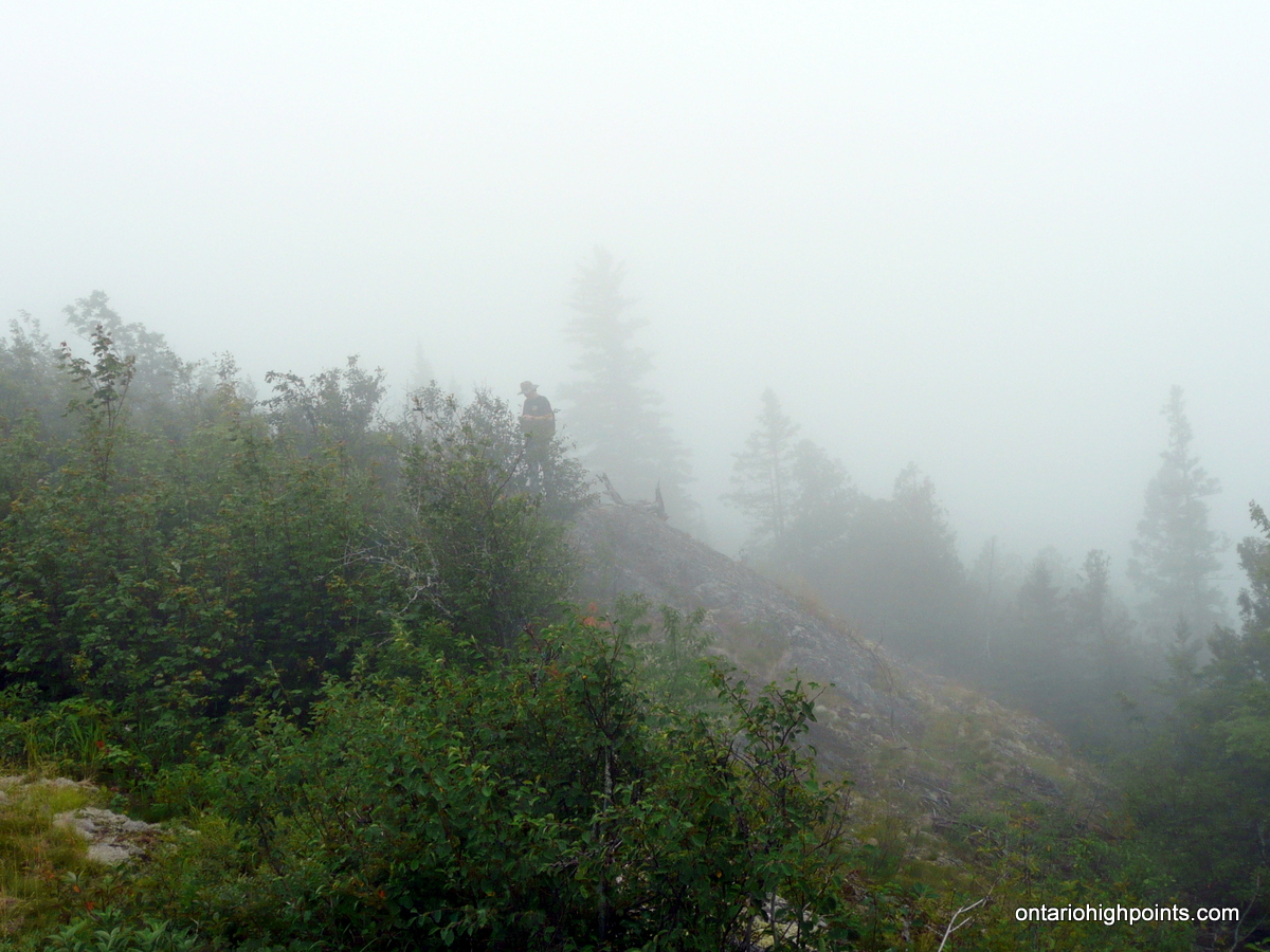
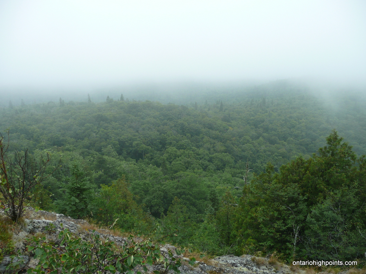
Nearing the summit, our maps showed a small pond which we skirted to the west to avoid. Beyond the pond we reached the summit cliffs which loomed before us. They were too steep to climb, so we changed course and headed east towards more gently ascending slopes which we were able to climb up onto the partially open summit of Alvin Lake Peak. Our maps indicated the highest point was to our northwest so we hiked along the rocky outcrops atop the cliff edge. Unfortunately the summit was in the clouds and our views down into the valley were obscured by fog.
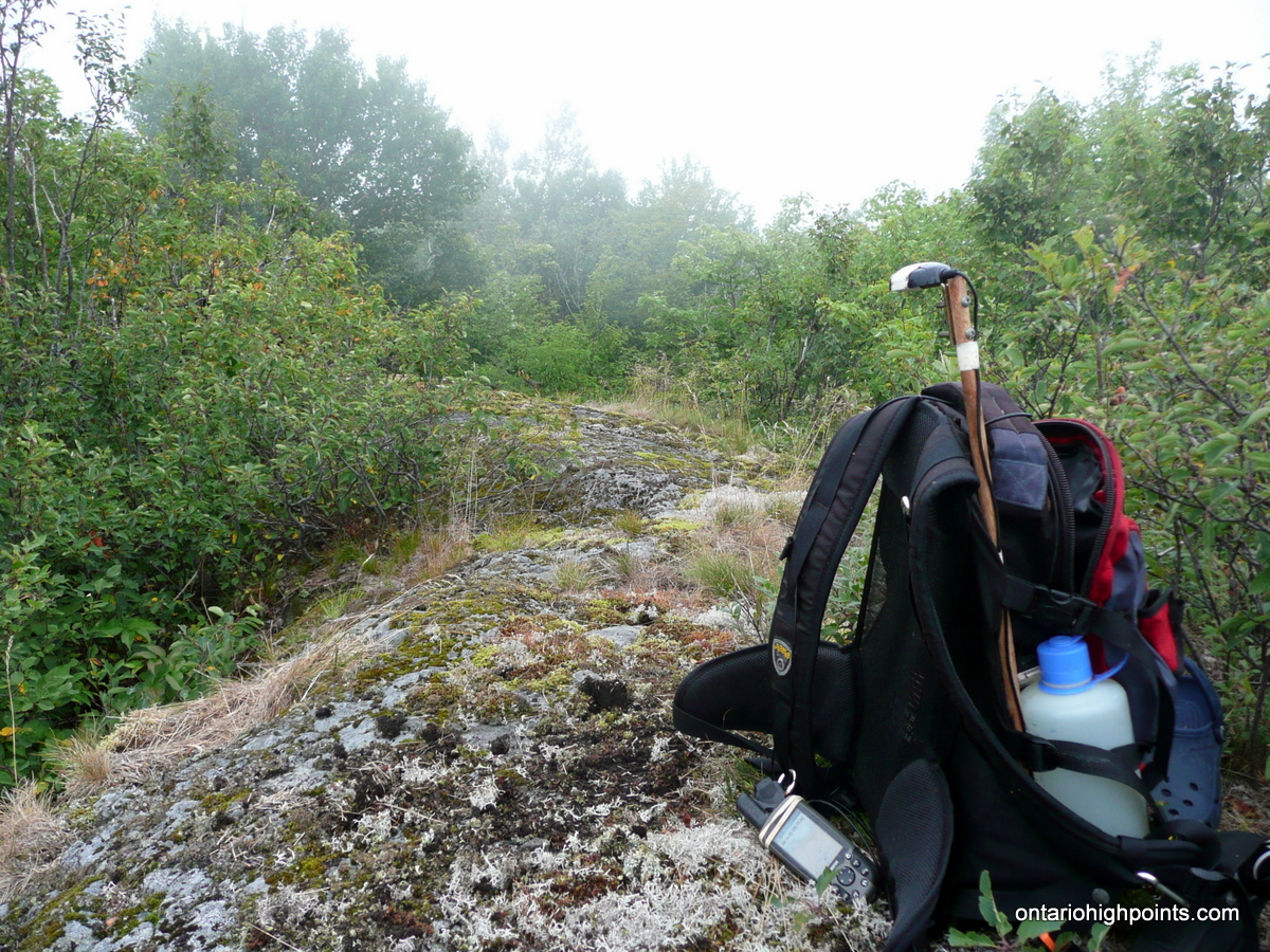
Although the summit area was large and fairly flat, we were fairly confident that the highest point was indeed located at the Ontario Base Map spot height. We stopped for our summit break there, took photos and GPS waypoints and reinvigorated ourselves with snacks and water. Dan was able to get cell phone reception and left a message with his wife announcing our safe arrival at the summit.
We descended off the summit area along our route in, but once down at the base of the cliffs, we decided on a more direct route back to the truck. We headed almost straight south and skirted the small pond along it’s east shore. This route presented no problems and before long we arrived at the edge of the unnamed lake. We paralleled it’s shoreline, heading southwest towards the small beaver dam, crossed it and rejoined our route in. A short time later we arrived at the wetland, made the long beaver dam crossing and headed back the truck.
We arrived back at the truck at at 4:50 PM, and after changing out of our wet clothes, we were back on Mile 67 Road, making our way back to Highway 17. After crossing the ACR railway, we were on the lookout for a road into Rand as Dan wanted to get some photos of the old section house. Unfortunately the roads leading into Rand ended up being too rough for us to drive in on, and as it was getting late Dan decided that it would be an activity for another day.
We navigated the many turns in reverse and emerged from Mile 67 Road onto Highway 17. After a short time, we arrived back at the Voyageur Lodge and Cookhouse, where we decided to get some supper — for me it was the Batchawana Mountain burger!
Gallery:
-
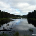
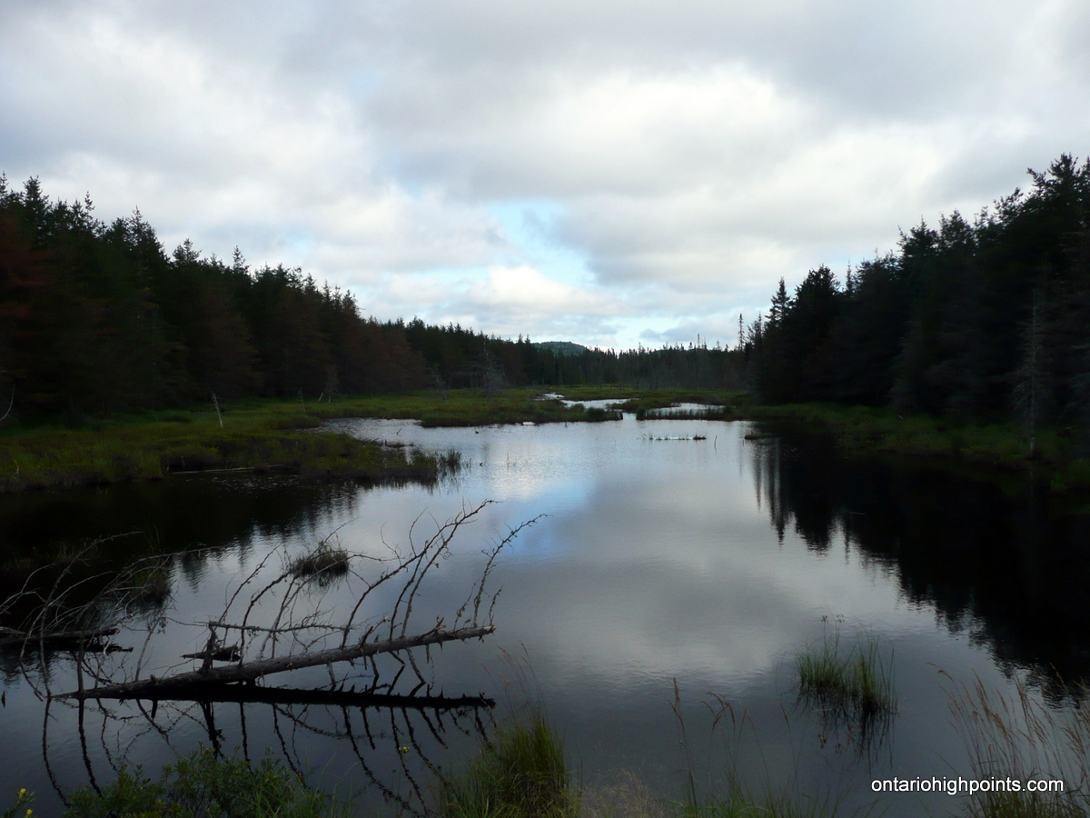
- Pond along Mile 67 Road near Huff Lake
-
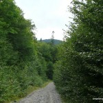
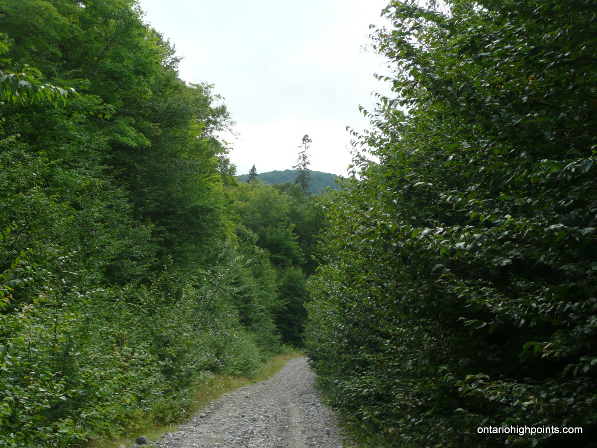
- Mile 67 Road
-
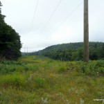
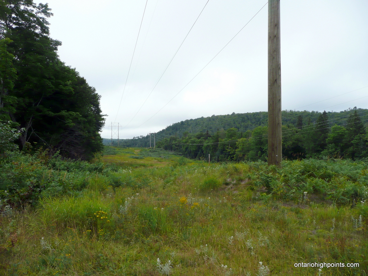
- Power lines near the ACR line
-
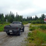
- Arrival at the ACR crossing on Mile 67
-
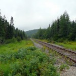
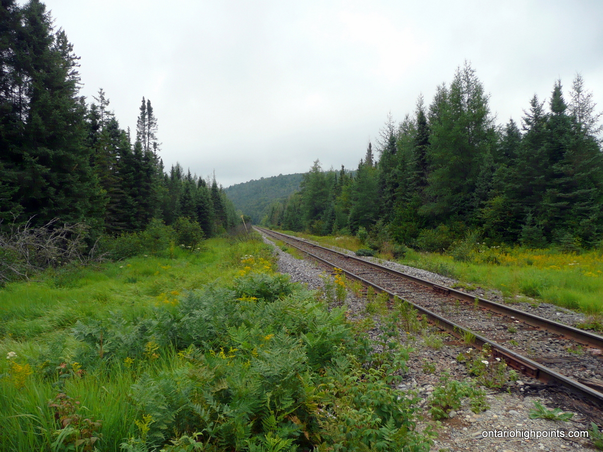
- Algoma Central Railway near Rand
-
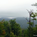
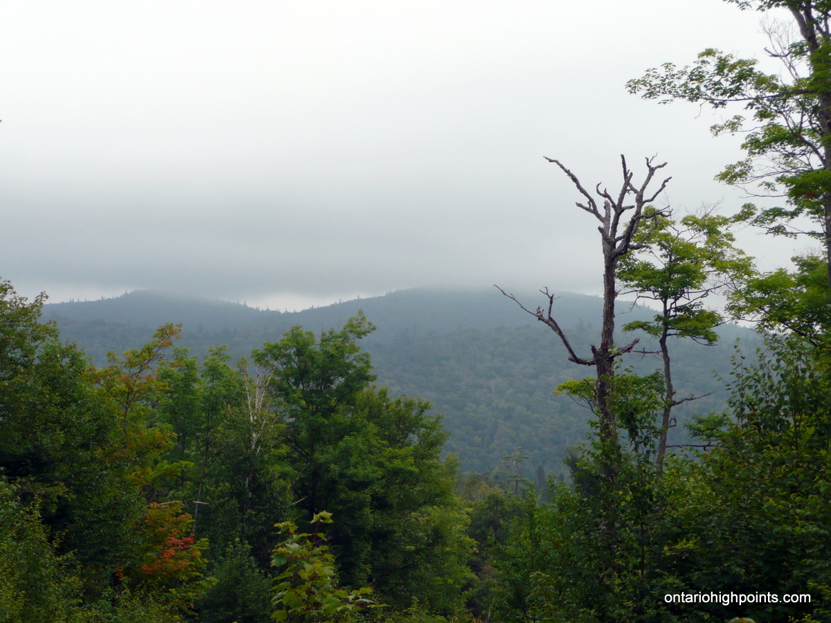
- Sub-peaks of the Alvin Ridge: Peak 637 & Peak 634
-
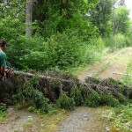
- Derek clearing a fallen tree from the road
-

- Dan crossing a beaver dam

-
- Derek at the bottom of the creek canyon
-
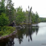
- Dan contemplating crossing another beaver dam
-
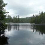
- Unnamed Lake
-
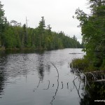
- Unnamed lake photo 2
-
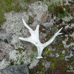
- Moose antler discovered in a clearing
-
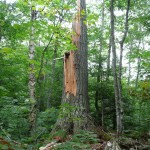
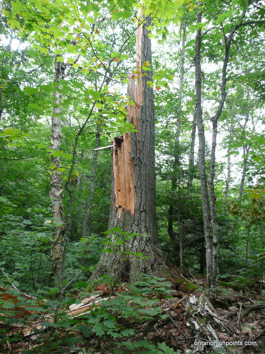
- Large white pine stump
-
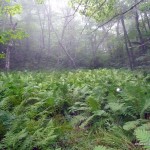
- Misty fern glen near the summit
-
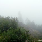
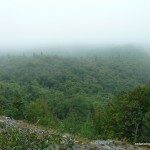
- Clouded in summit
-
- Alvin Lake Peak summit
-
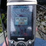
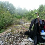
- GPS elevation
-
- View southwest towards Peak 637
-
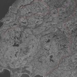
- Alvin Lake Peak Satellite Image (Courtesy of geobase.ca)
Videos:
GPS Track:
Alvin Lake Peak GPS Track(.gpx format)
Related Links:
Alvin Lake Peak Trip Report on dankachur.com
Alvin Lake Peak on Peakbagger.com
Hi, you have some amazing stuff here on your website.. any chance you would allow us to use some of your material in our book we are creating and we will be the link to your website in the book?
Thanks,
Ontario funzones