Fraleck Ridge
Posted by Derek on Oct 19, 2022
Height: 1608 feet / 490 meters
GPS recorded height: 1640 feet / 500 meters
Lat/Lon: N46.91859 W80.86182
Date Summited: October 8, 2022
Directions / Trip Report:
From the Sudbury area, make your way to Capreol. After passing through the small town of Capreol, continue along the road for another 8.0 km and then turn right onto Portelance Road. There might be active logging in the area so caution is advised — give the logging trucks a lot of space.
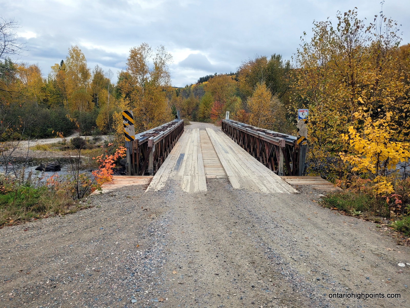
The first 5 km of the dirt road is fairly wide and well traveled by the residents of the Wahnapitae First Nation Reserve. The road forks at the Wahnapitae First Nation Reserve sign. Take the left fork and proceed along the road which runs in a north-northeast direction for 15.5 km until meeting up with the Wanapitei River. Do not cross the River at the bridge here, but continue along the west shoreline of the River for another 2.8 km until reaching the base of Fraleck Ridge, at N46.92564° W80.85374°. Roadside park here.
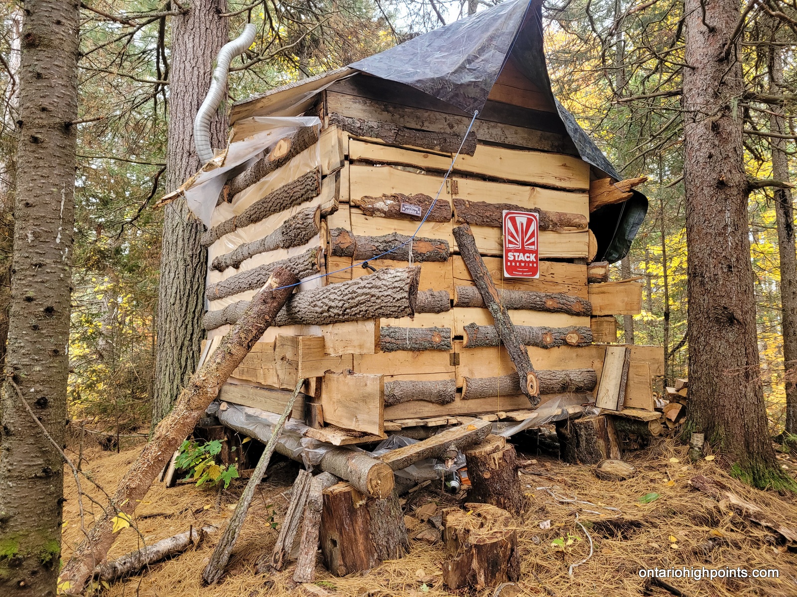
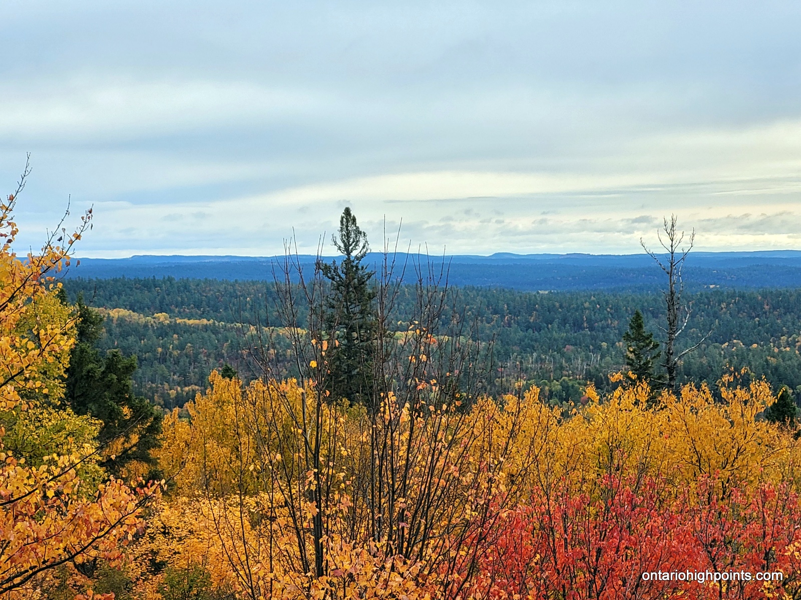
There’s a series of very overgrown skidder paths in the area. On my ascent I followed one that paralleled the road south for 400 meters, then I followed a branch southwest and began the steep ascent. After about 200 meters the overgrown skidder path ended and I had a steep bushwhack up the remaining 450 meters to the summit. Once on top of the ridge, I discovered a small hut with a wood stove and and found the highest point atop a large boulder about 50 meters south of the hut. There are also limited views just south of the hut and high point boulder.
I also discovered a better route off the ridge, a cut line heading north off of the summit. This route is more gradual and easier to follow, although there is still some undergrowth. After descending for about 600 meters, I followed the cut line east and finished the remaining 600 meter descent back to Portelance / Gauthier Lumber Road.
View a larger version of the map
Trip Summary:
0.0 km – Parking on Portelance / Gauthier Lumber Road (8:55 AM)
0.4 km – Turned west on overgrown skidder path (9:05 AM)
0.6 km – Reached terminus of skidder path (bushwhack begins) (9:15 AM)
1.2 km – Arrived at hut (9:38 AM)
1.3 km – Arrived at summit (9:40 AM)
1.3 km – Began descent via cut line route (9:46 AM)
2.7 km – Arrived back at Portelance / Gauthier Lumber Road (10:17 AM)
Gallery:
-
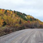
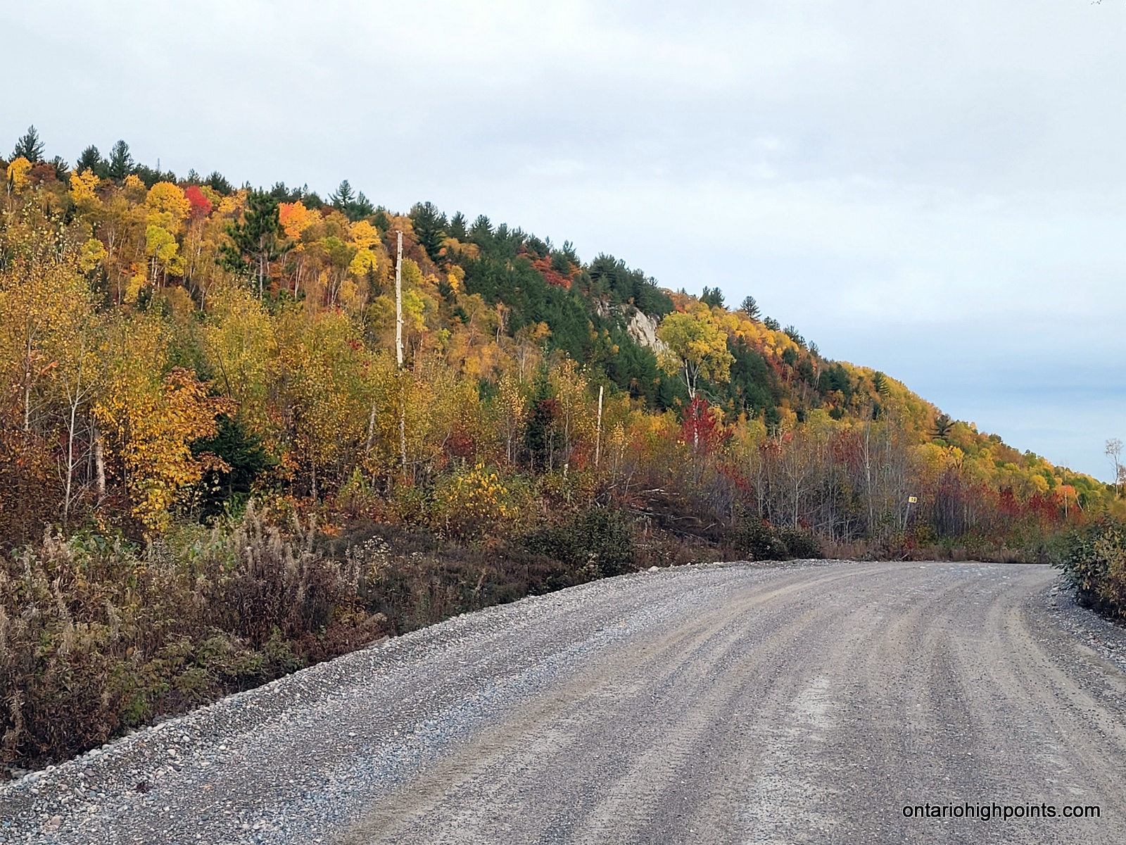
- Fraleck Ridge viewed from Portelance / Gauthier Lumber Road
-
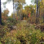
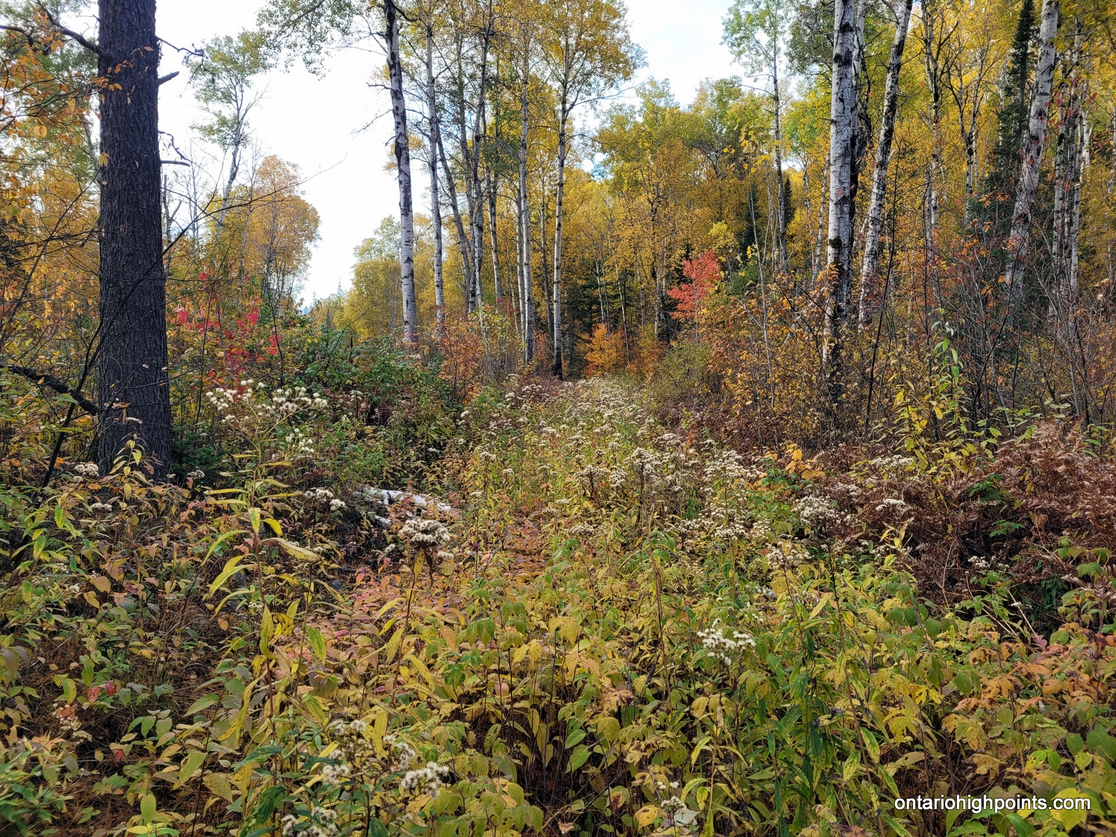
- Start of the overgrown skidder path
-
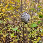
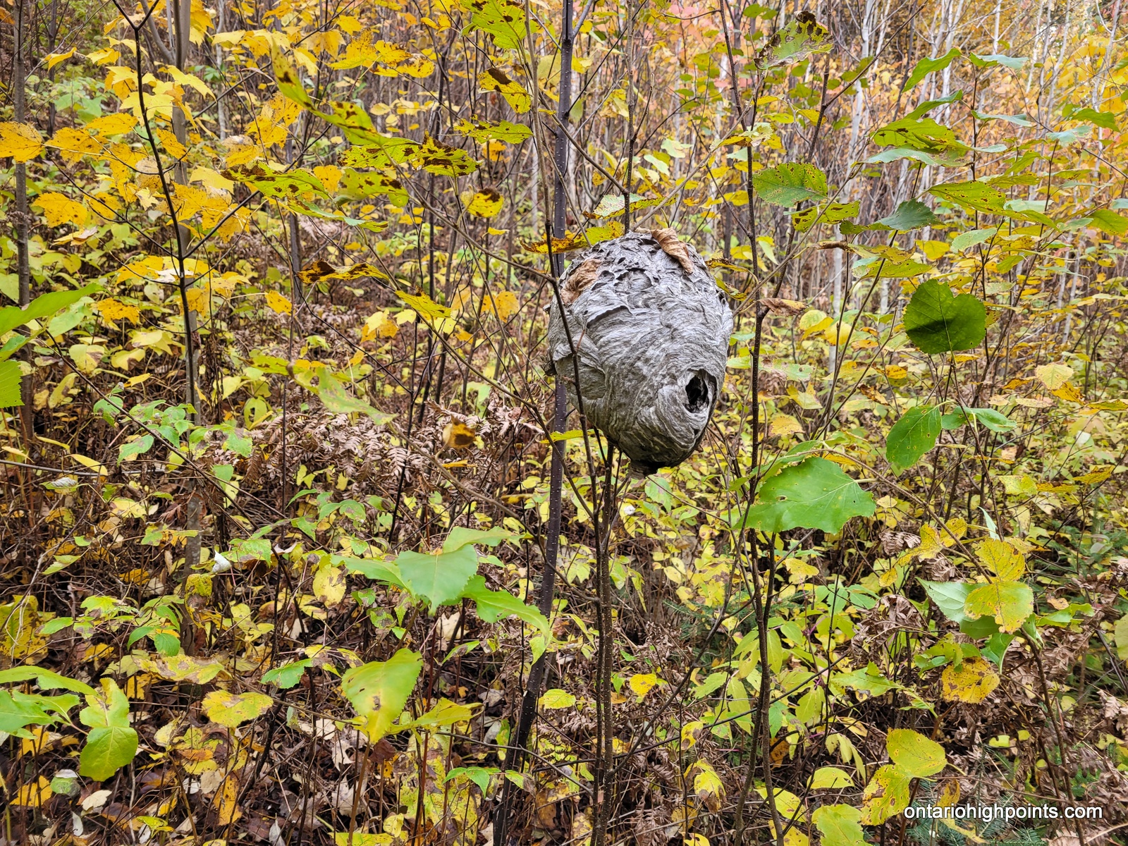
- Wasp nest
-
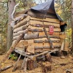
- Small hut at the summit
-
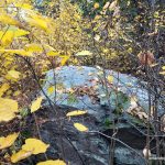
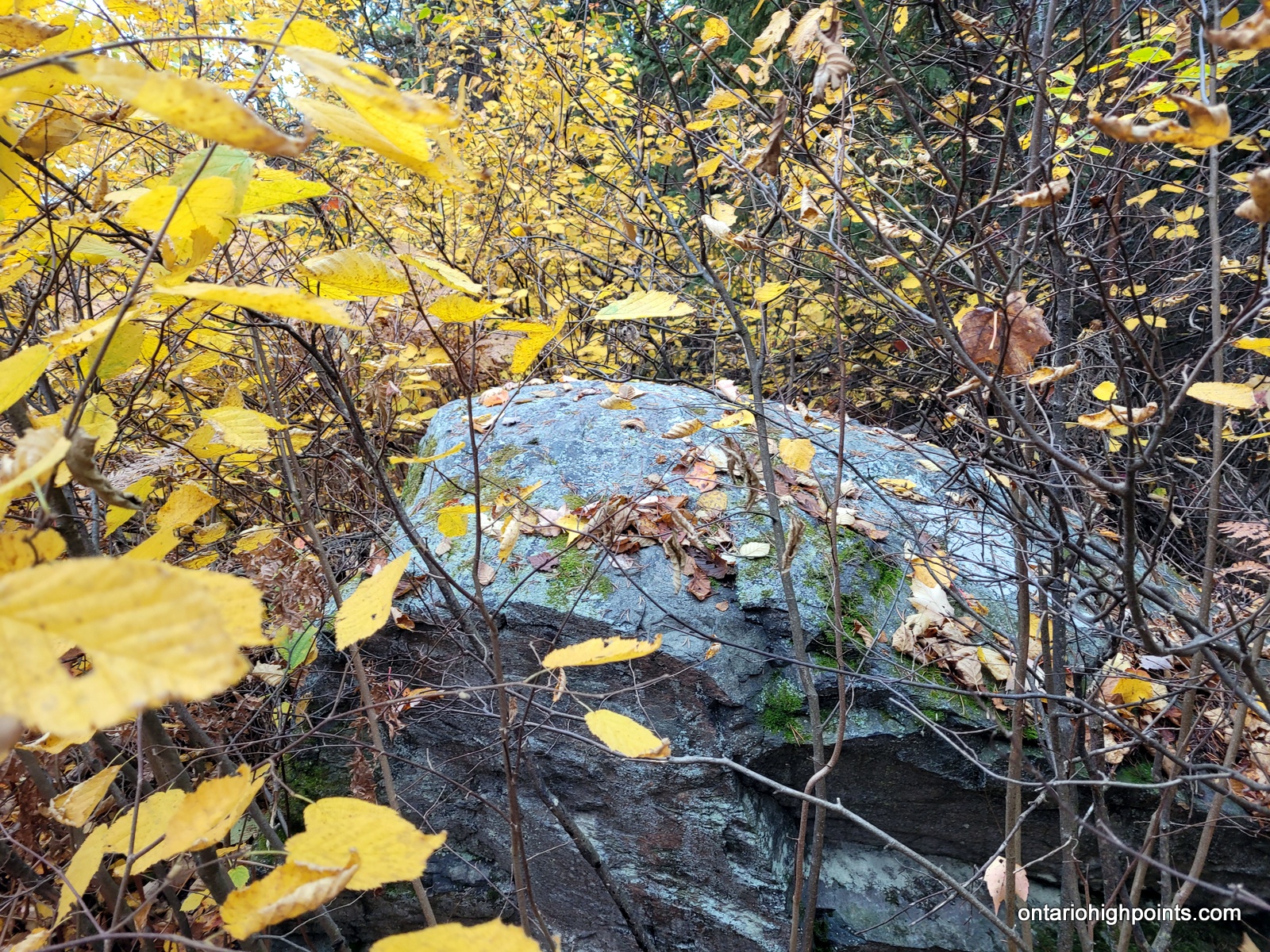
- Summit rock of Fraleck Ridge
-
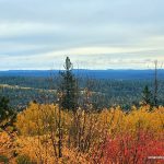
- View from Fraleck Ridge
-
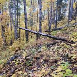
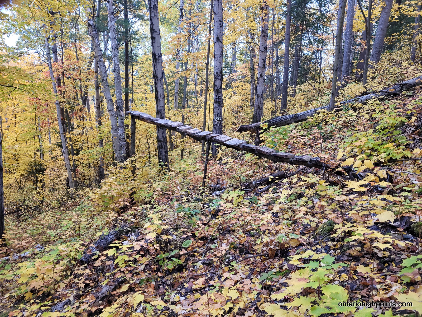
- Bike /Snowboard Jump?
-
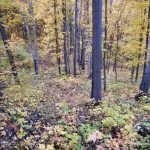
- The cut line on descent

-
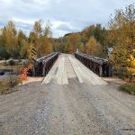
- Bailey Bridge over Wanapitei River
-
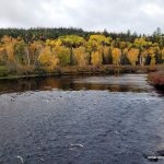
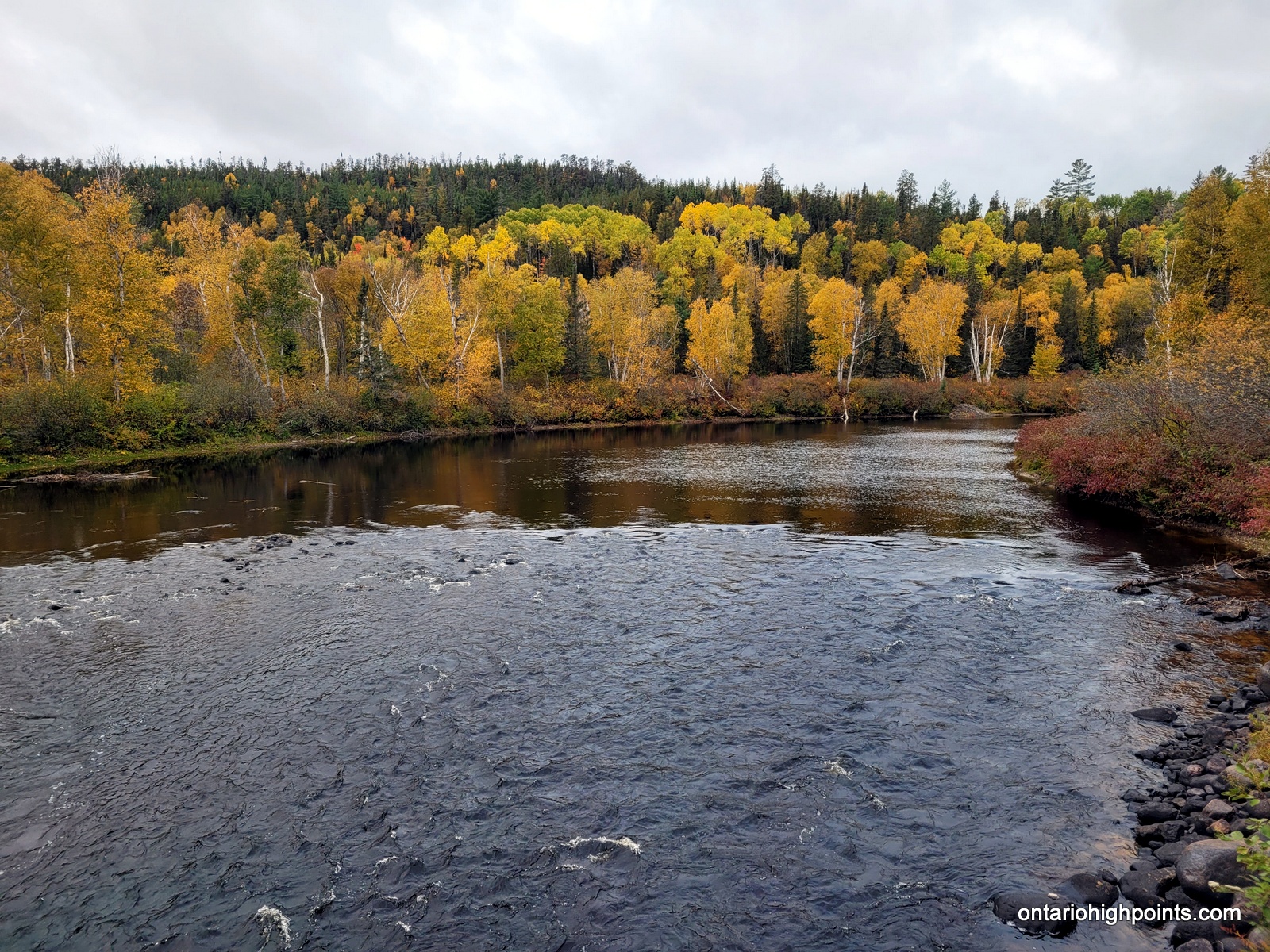
- Wanapitei River
-
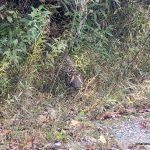
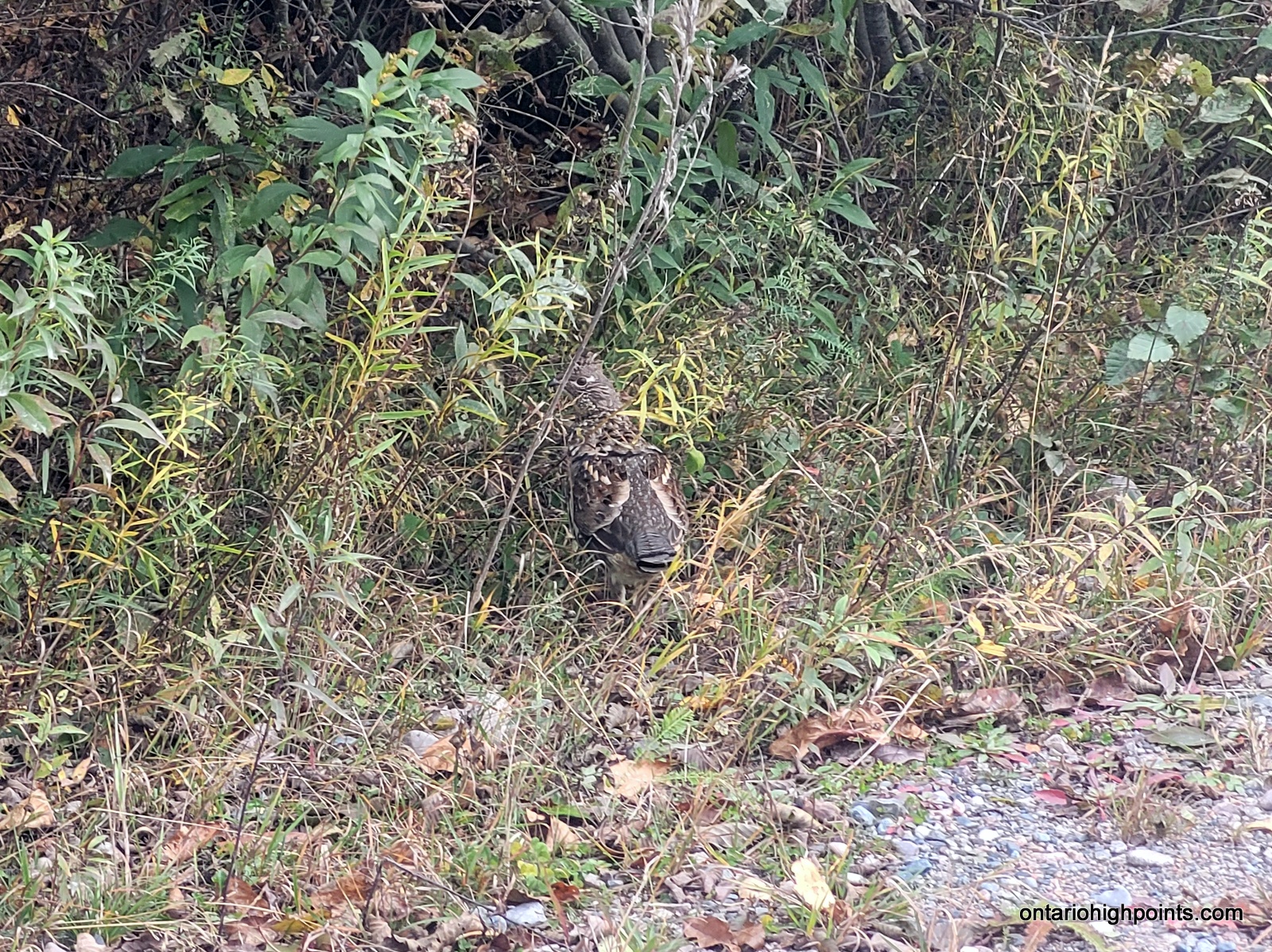
- Grouse by the side of the road
GPS Tracklog (GPX Format):
Fraleck Ridge GPS Track
Related Links:
Fraleck Ridge on Peakbagger.com