Peterborough High Point
Posted by Derek on Aug 9, 2011
Height: 1424 feet / 434 meters
GPS recorded height: 1434 feet / 437 meters
Lat/Lon: N44.85442 W78.18550
Date Summited: August 5, 2011
Directions / Trip Summary:
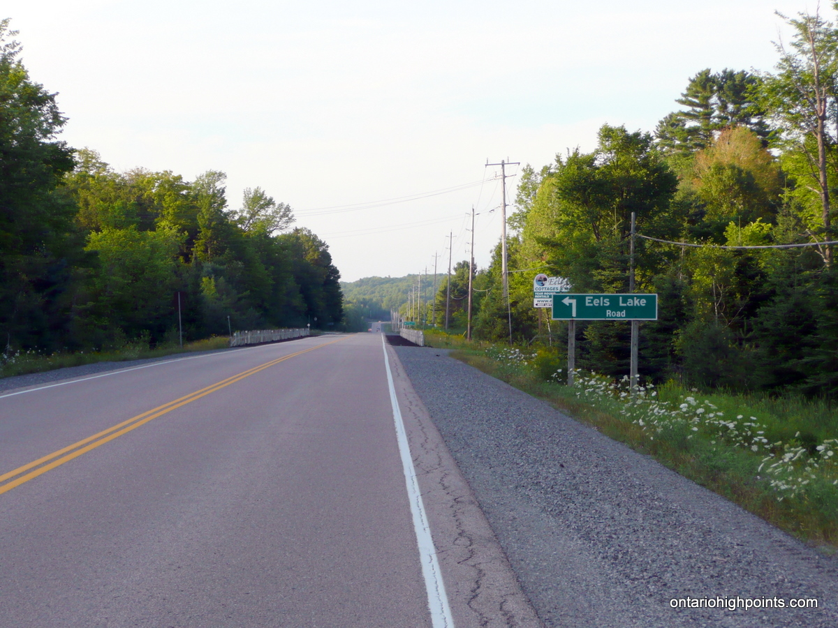
0.0 km – Turn off HW 28 onto Eels Lake Road
1.1 km – Turn left onto West Eels Lake Road
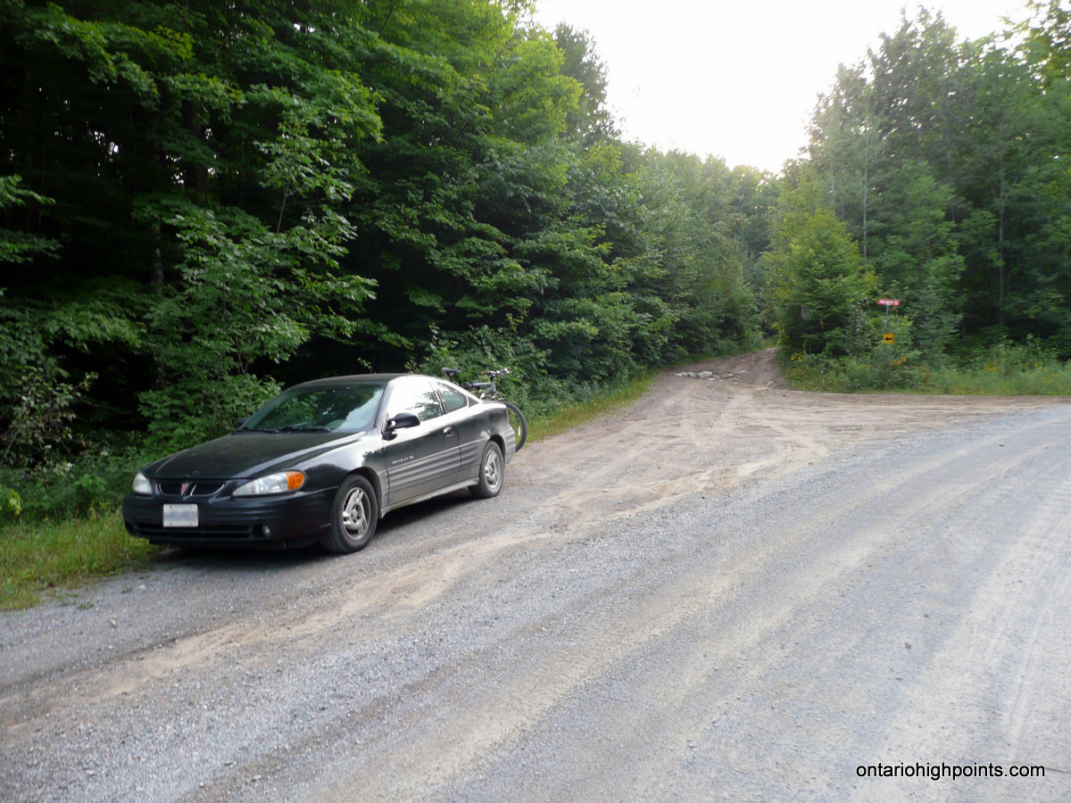
6.6 km – Roadside parking at turn off to Fire Route 72
0.0 km – Take left fork onto Fire Route 72
0.1 km – Turn left onto Dirt / ATV road
0.5 km – Proceed south along rougher ATV path (right and quick left)
1.1 km – Turn left onto overgrown ATV trail
1.3 km – Bushwhack last 60 meters east to summit
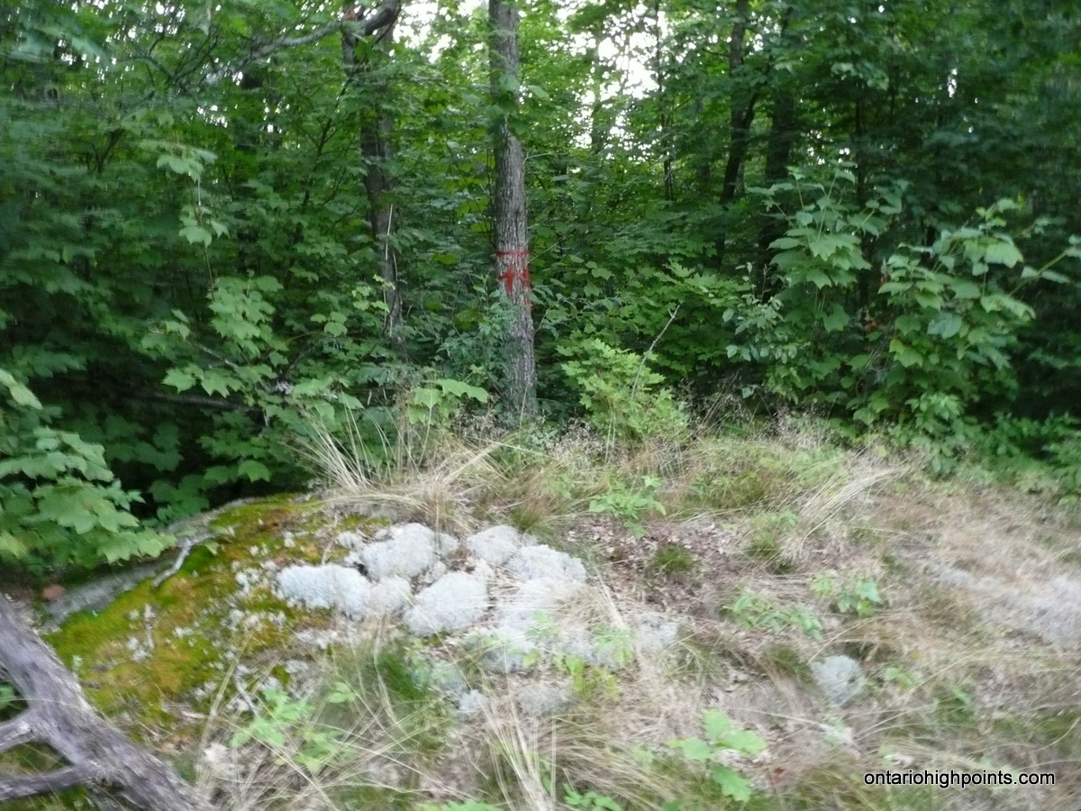
1.4 km – Summit with clearing.
View a larger version of the map
Gallery:
-
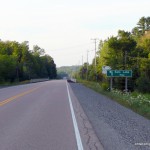
- Turn off from 28 to Eels Lake Road
-
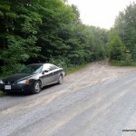
- Roadside parking on Eels Lake Road
-
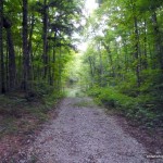
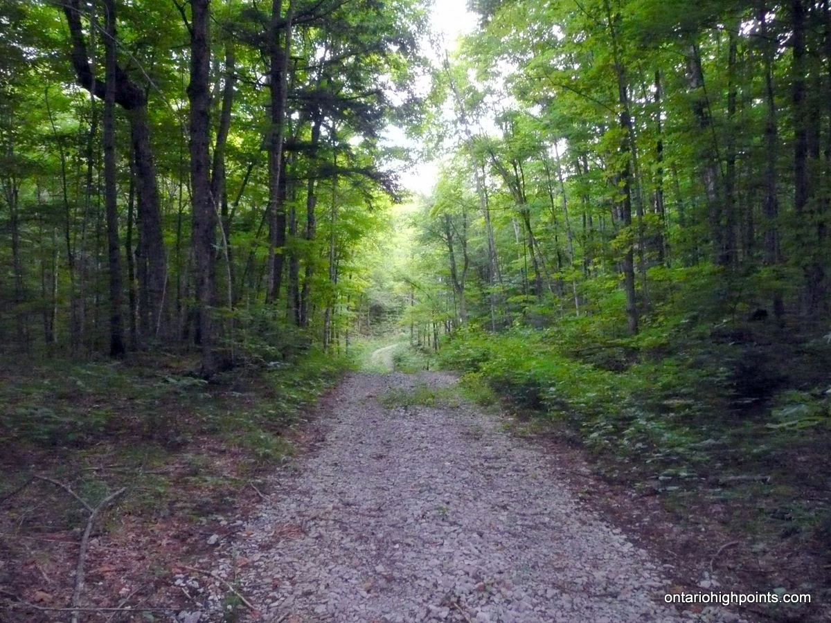
- Dirt / ATV Road
-
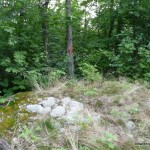
- Peterborough Country High Point
-
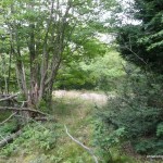
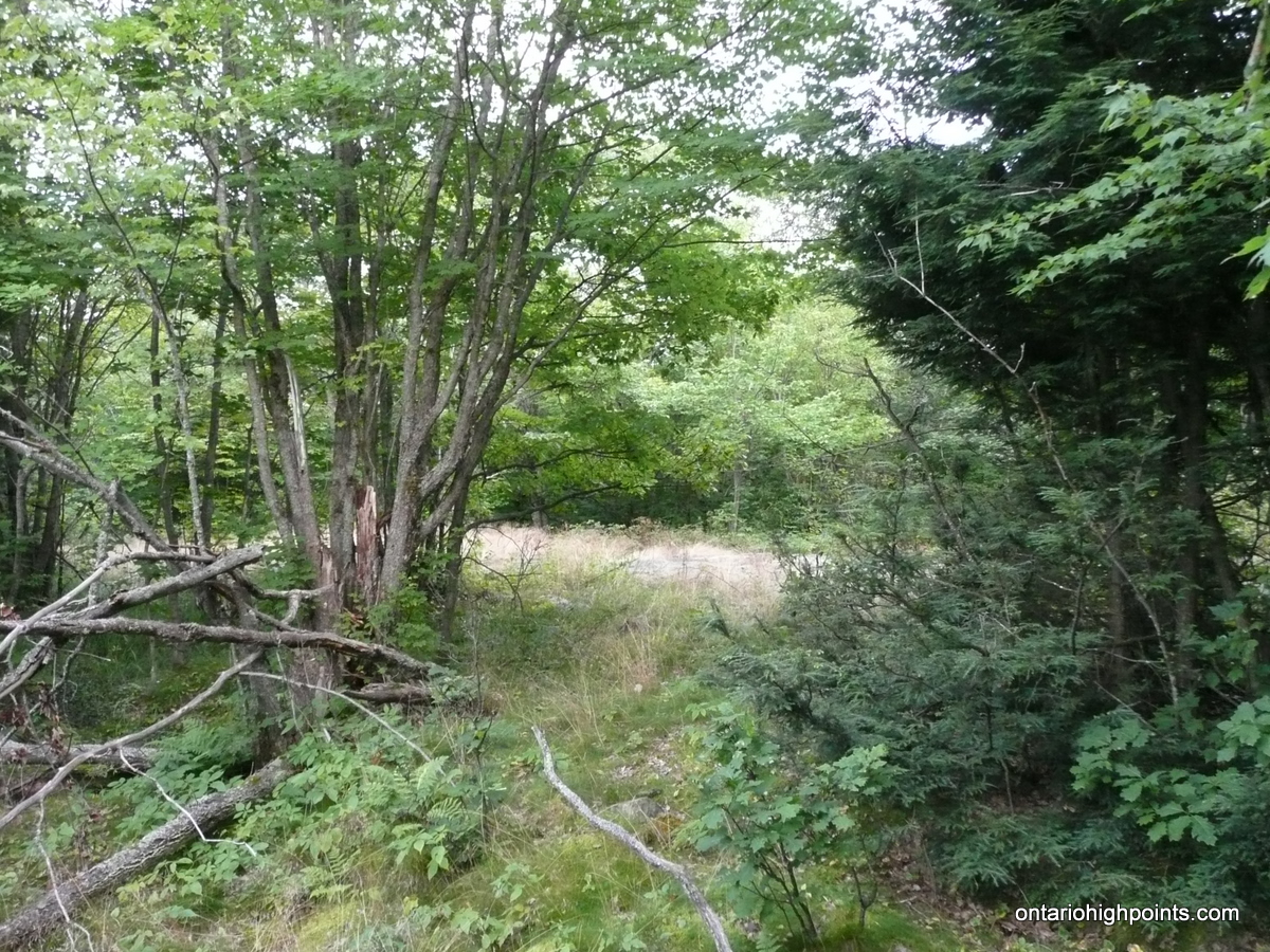
- View south across clearing at the summit
-
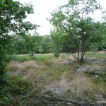
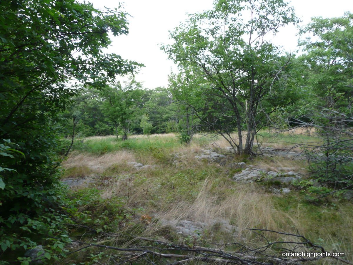
- View east across clearing at the summit
Peterborough County High Point. GPS Track (.gpx format)
Related Links:
Peterborough County High Point on peakbagger.com