Mamainse Hill
Posted by Derek on Nov 7, 2015
Mamainse Hill
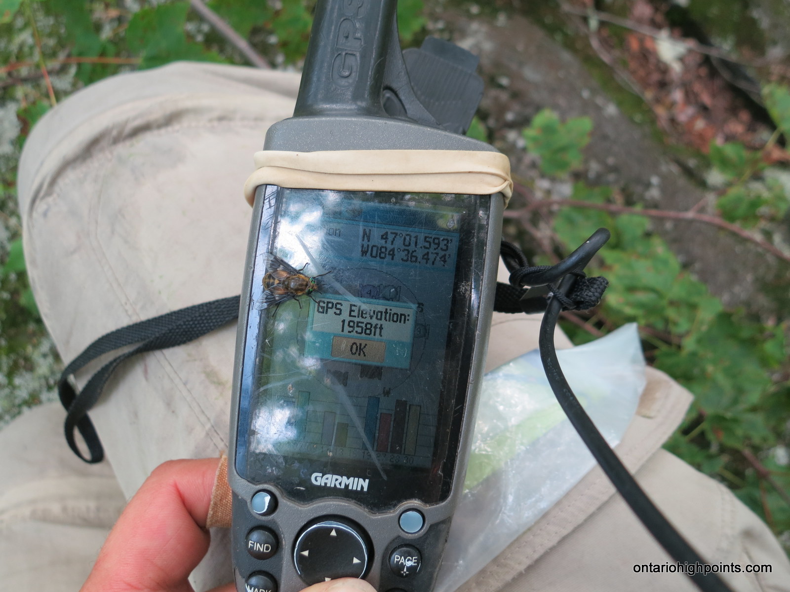
GPS recorded height: 1958 feet / 597 meters
Lat/Lon: N47 01.592 W84 36.474
Date Summited: July 26, 2015
Overview:
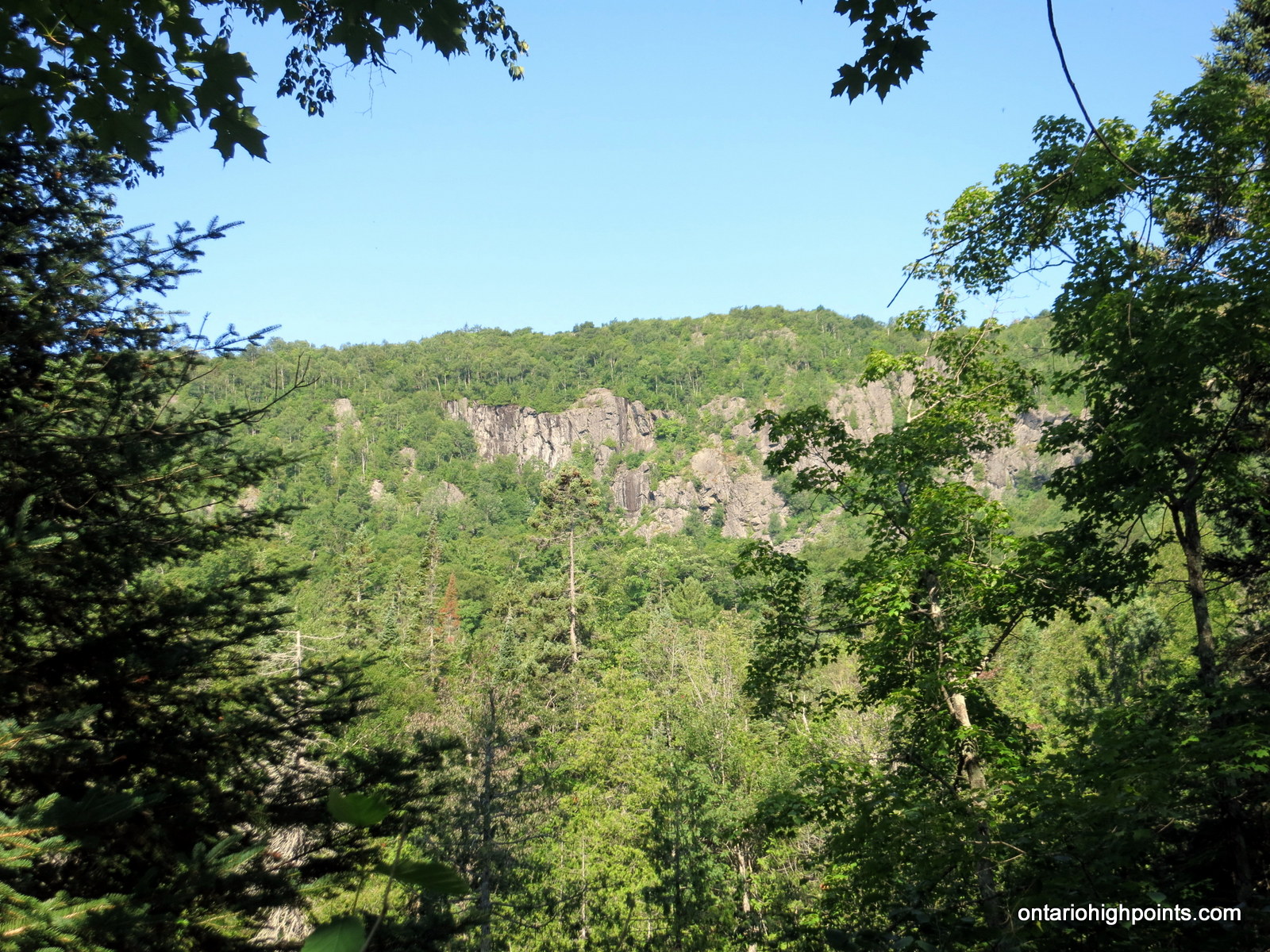
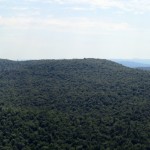
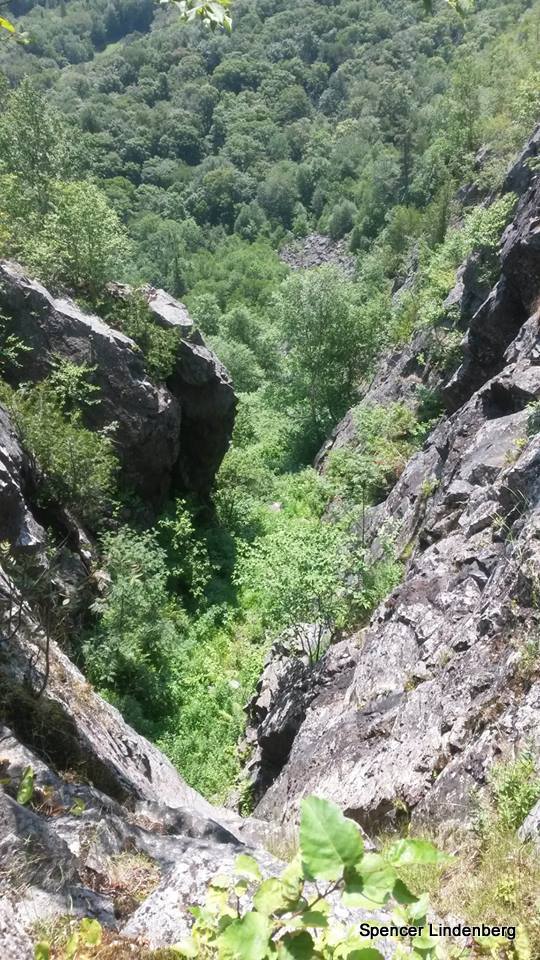
Mamainse Hill is a prominent hill located 10 km north of Batchawana Bay, Lake Superior. It is flanked by steep pitches on 3 sides with high cliffs on the east and south sides. When viewed from nearby Carp Lake Road these cliffs are imposing and impressive. It is a treed summit, but it is a short bushwhack to the good views on top of the eastern cliffs.
Directions:
Travel north from Sault Ste. Marie on Highway 17 to Batchawana Bay. Turn right on Carp Lake Road; 1.4 km beyond the Voyageur Lodge which is located across the road from Batchawana Bay. Carp Lake Road is a gravel road, wide enough for 2 vehicles in most spots and is in good enough shape that high clearance 4×4 vehicles should be able to make the entire 14.3 km road portion of the trip. Cars and 2 wheel drive vehicles may have trouble making the 600 foot ascent up the road and should park at a gravel pit along side the road at 1.6 km.
4.0 km from Highway 17, the road becomes steep and ascends 500 feet (most of the ascent) over the next 2 km. At 11.7 km, after passing by partially obscured views of the cliffs of Mamainse Hill, turn left onto a smaller bushroad which leads to the camps on Mamainse Lake. The initial section of road may be partially flooded so be cautious. The best place to start the bushwhack is at the 1.3 km mark along this road. There is a roadside parking spot 200 meters further up the road at the 1.5 km mark.
Start at the 1.3 km mark near a large culvert diverting a small creek under the road and begin the bushwhack southwest. The journey is difficult initially as the route passes across a creek surrounded by wetlands. However, after crossing, most of the journey to the top is through open deciduous forest with sparse underbrush. Follow the broad ridge southwest for 1.0 km and then as it rounds south follow it for another 1.5 km all the way to the summit. There is a geodedic marker at the summit among a group of tag alder and small maple trees, finding it may prove difficult. There are good views from atop the eastern cliffs 200 meters east of the summit.
View a larger version of the map
Trip Summary:
00.0 km – Turned off of Hwy 17 onto Mile 38 Road (9:43 AM)
11.7 km – Turned left onto Mamainse Lake Road (10:15 AM)
13.3 km – Roadside parking near Mamainse Lake (10:22 AM)
00.0 km – Departed roadside parking, headed east along road (10:41 AM)
00.2 km – Turned south and began bushwhack (10:45 AM)
02.5 km – Arrived at the summit of Mamainse Hill (11:47 AM)
02.8 km – Views along the top of east cliffs (12:20 PM)
05.4 km – Arrived back at the parking on Mamainse Lake Road (1:25 PM)
Trip Report:
This year, Dan and I welcomed Spencer to our informal Algoma peakbagging team. After trading emails, we found a mutual free weekend at the end of July and decided upon 4 hikes over 2 days in the Algoma interior near Batchawana Bay.
With the previous day’s hikes up Griffin Lake Peak and Batchawana Mountain (both repeats for me) under our belts, we were looking forward to another 2 peak day hike in the Carp River Valley area: Spider Lakes Peak (A repeat for me) and Mamainse Hill. None of us had been to Mamainse, so we opted to try our luck on it first.
As usual Dan picked us up at Jack and Ann’s place and then we proceeded north on Hwy 17 to Batchawana Bay. We passed by the Voyageur Lodge General Store at Batchawana Bay and shortly thereafter turned right onto Carp Lake Road. Signage indicated active logging was in progress, so we approached the bends in the gravel road with caution; lumber trucks leave very little room for maneuvering.
Dan’s 4×4 Toyota Frontrunner made easy work of our first obstacle, a rough section of road up a 400 foot hillside. After navigating the hillside, the road leveled out and soon the east cliffs on Mamainse Hill came into view between the trees. We left the cliffs behind and reached the road to Mamainse Lake – a narrower road branching off on the left, heading west.
Immediately after turning onto the narrow road, we plowed through some water, where the Carp River had flooded the road. A short distance later, we approached our planned bushwhack starting point, however the road was narrow here without any places to park. 200 meters up the road, we found a small gravel shoulder where Dan pulled off and parked.
We suited up and headed back down the road to a large culvert which passed under the road. This was to be the start of the bushwhack south to Mamainse Hill. Initially our route descended to a small creek draining Mamainse Lake. The area surrounding the creek was a tangled mess of wetlands, so it wasn’t an easy task finding a good way across. After a few minor detours, we reached the dry land of the other side and began the ascent.
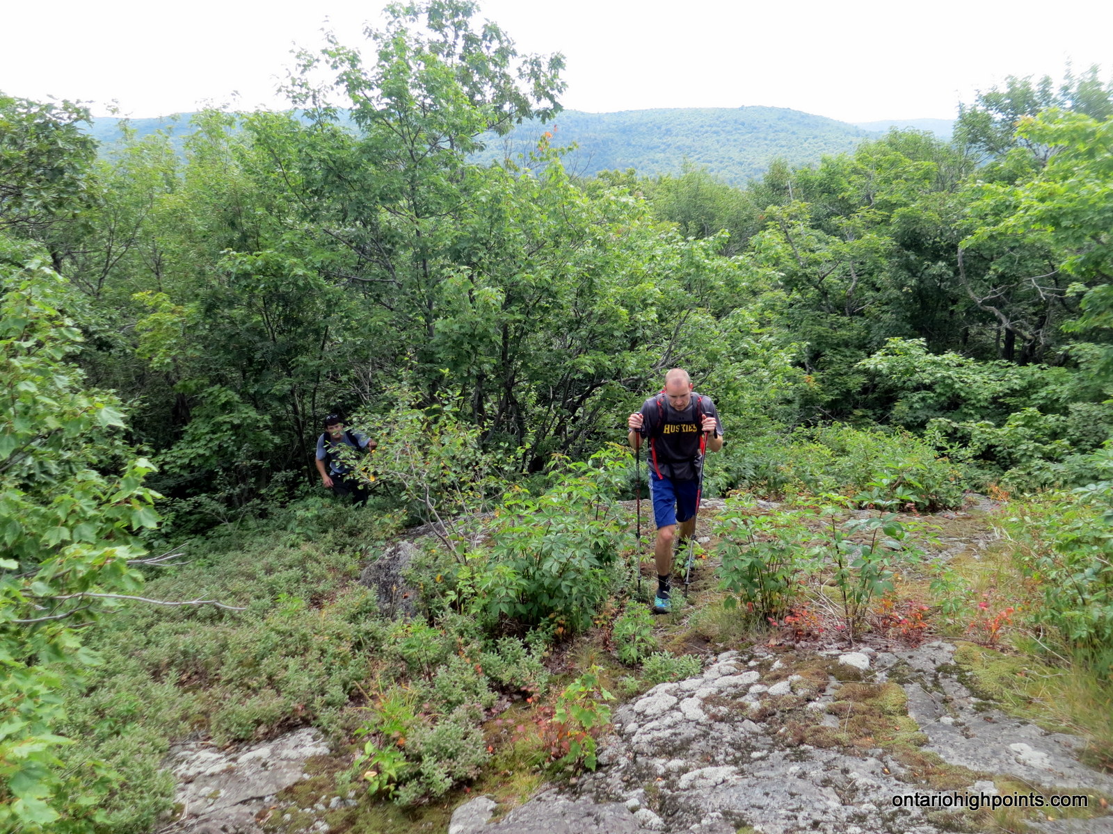
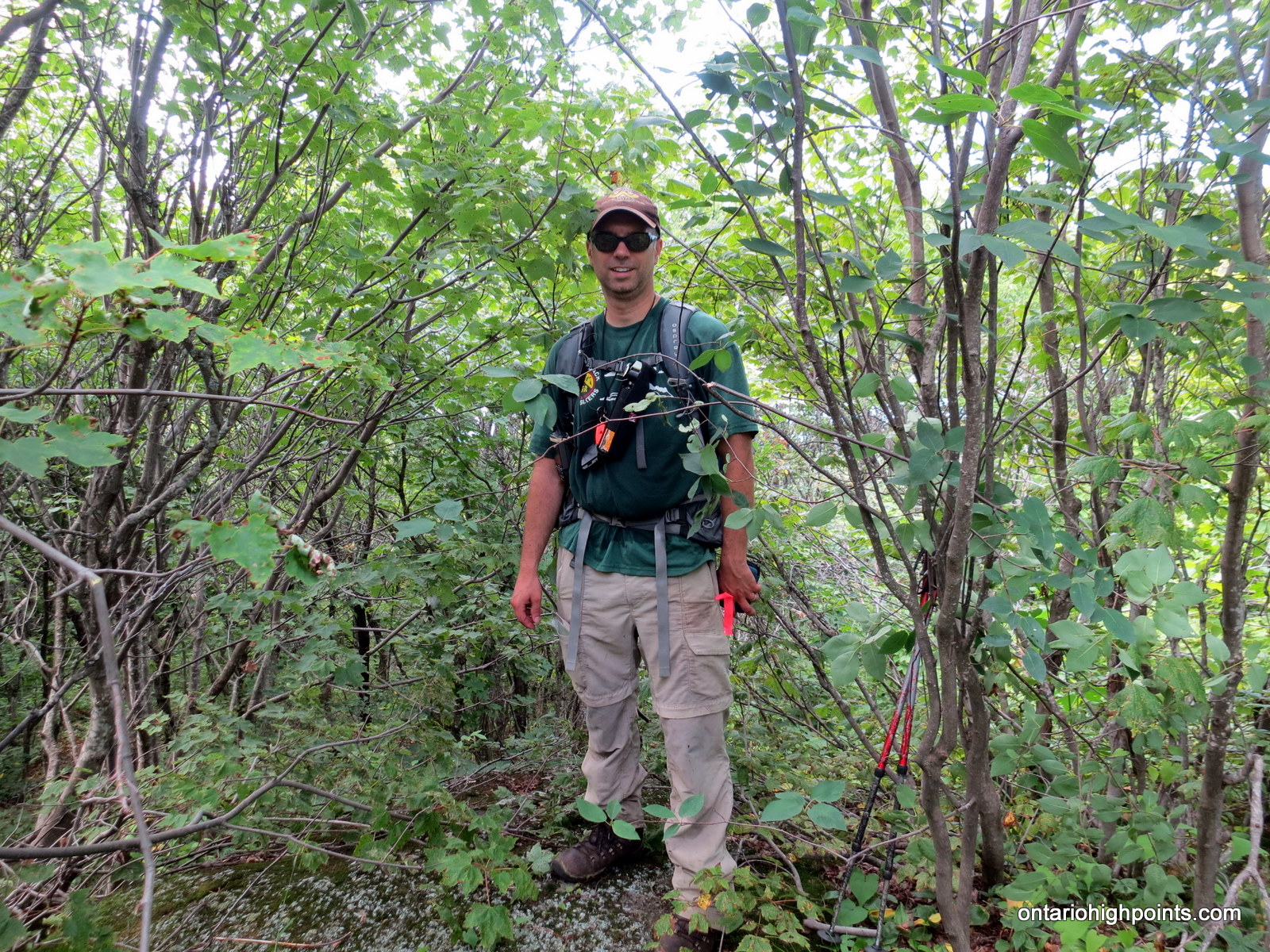
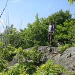
The day was heating up, which should have necessitated lots of rest stops, however the abundance of biting flies made stopping agonizing. Luckily, most the hike was a nice steady ascent through open deciduous forest. We followed a ridge roughly southwest for the first kilometer and then south for another 1.5 kilometers. As we had kept close to the steep eastern cliffs in the hope for some good views, we had to turn west to reach the final high point on Mamainse Hill. We scrambled up the remaining rocky terrain to reach the forested summit.
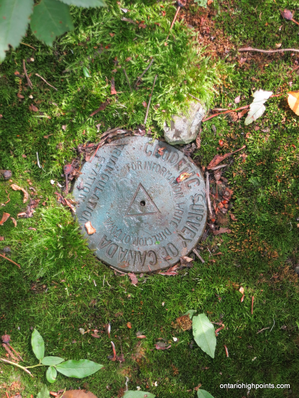
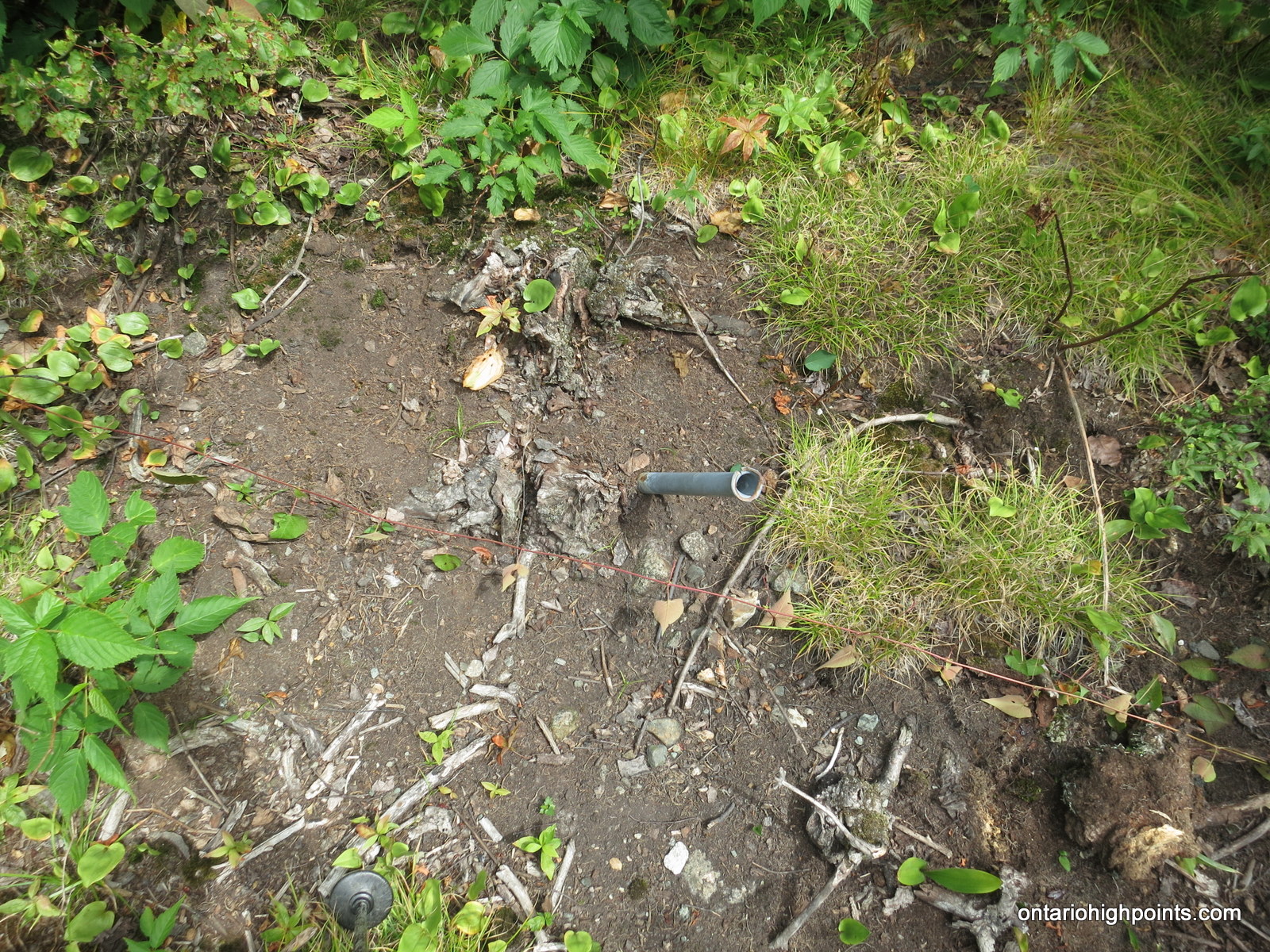
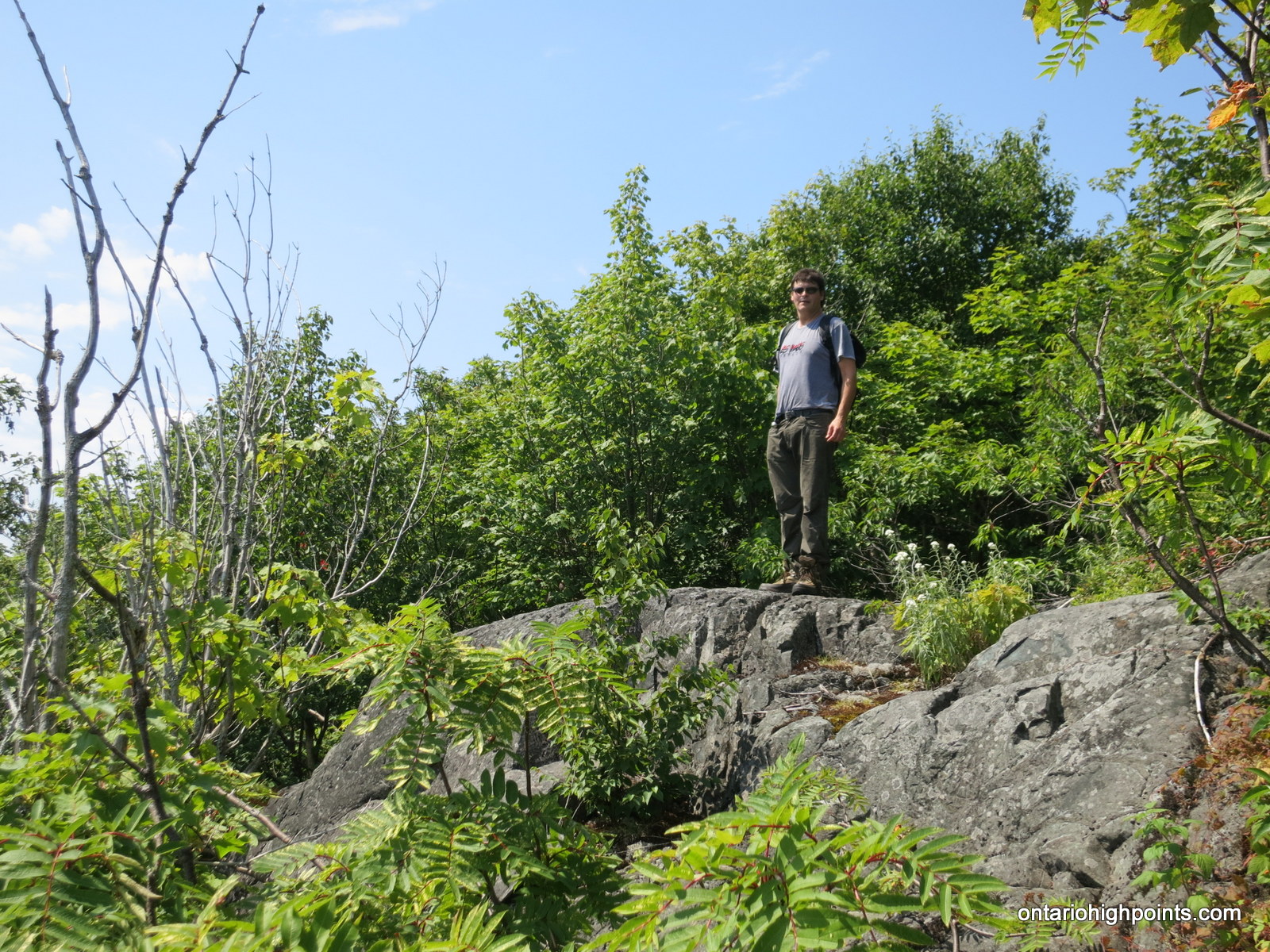
While searching for the highest point, I stumbled across a geodetic marker embedded in a mossy rock surrounded by a thick stand of tag alder and young maple trees. We also found a small steel pole set in the ground and an old glass pop bottle. I found the highest point along some protruding bedrock a few meters away from the geodetic marker.
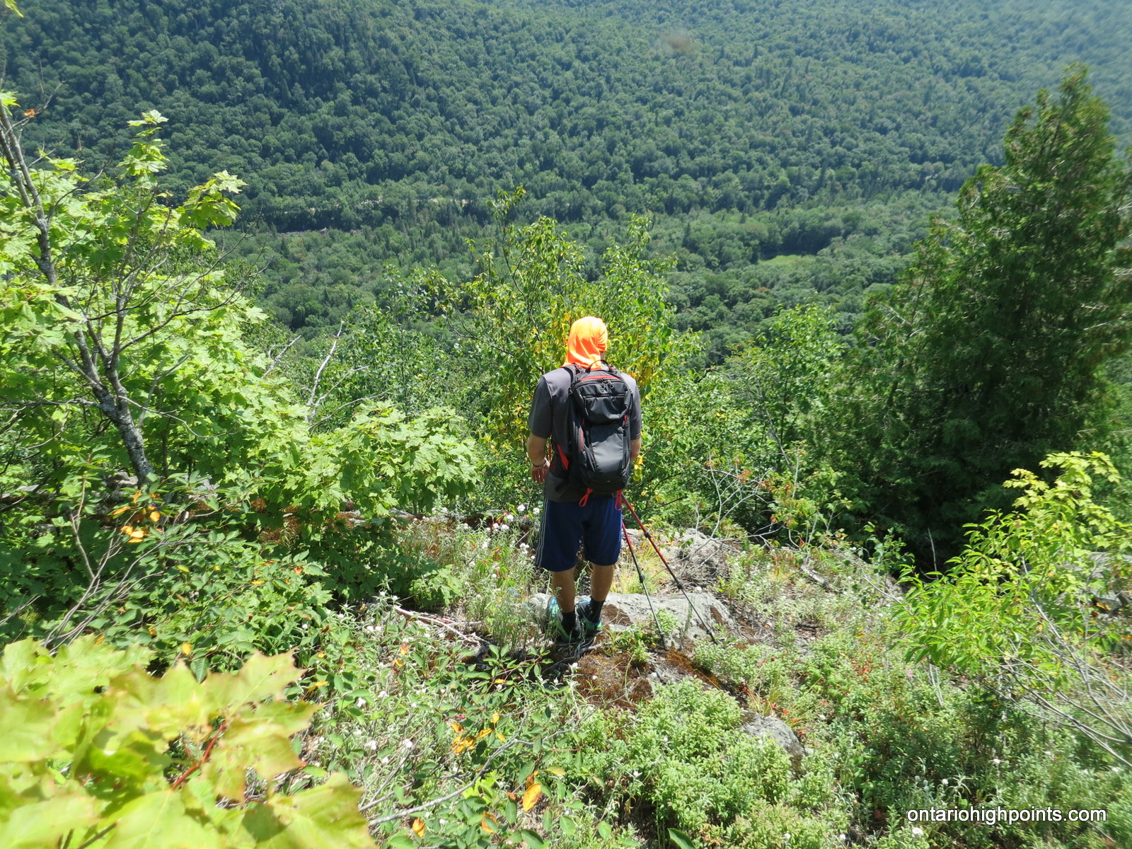
After lunch and photos at the summit, we decided to investigate the eastern edge of the hill. A quick side trip ensued and we emerged from the summit forest onto steep, rugged clifftops. We were greeted with a panoramic view of the Carp River Valley to the east with the Carp Lake Road plainly visible and the blue waters of Lake Superior and Batchawana Bay to the south. I was also able to get a view of our next target: Spider Lakes Peak, which we were hoping to hike that afternoon.
After enjoying the views we retraced our steps and headed north, back towards Mamainse Lake Road. Less than an hour later we arrived back at the truck. We drove back down to Carp Lake Road and then turned north, onwards to Spider Lakes Peak.
Gallery:
-
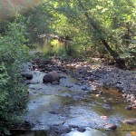
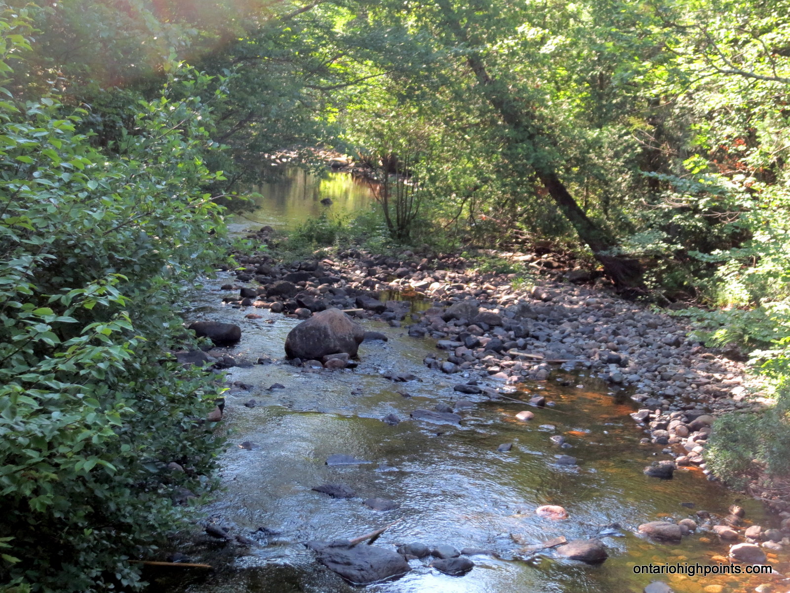
- Carp River
-
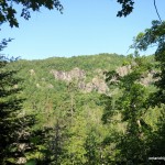
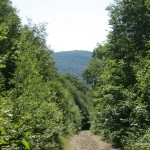
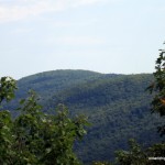
- Mamainse Hill seen from Carp River Road
-
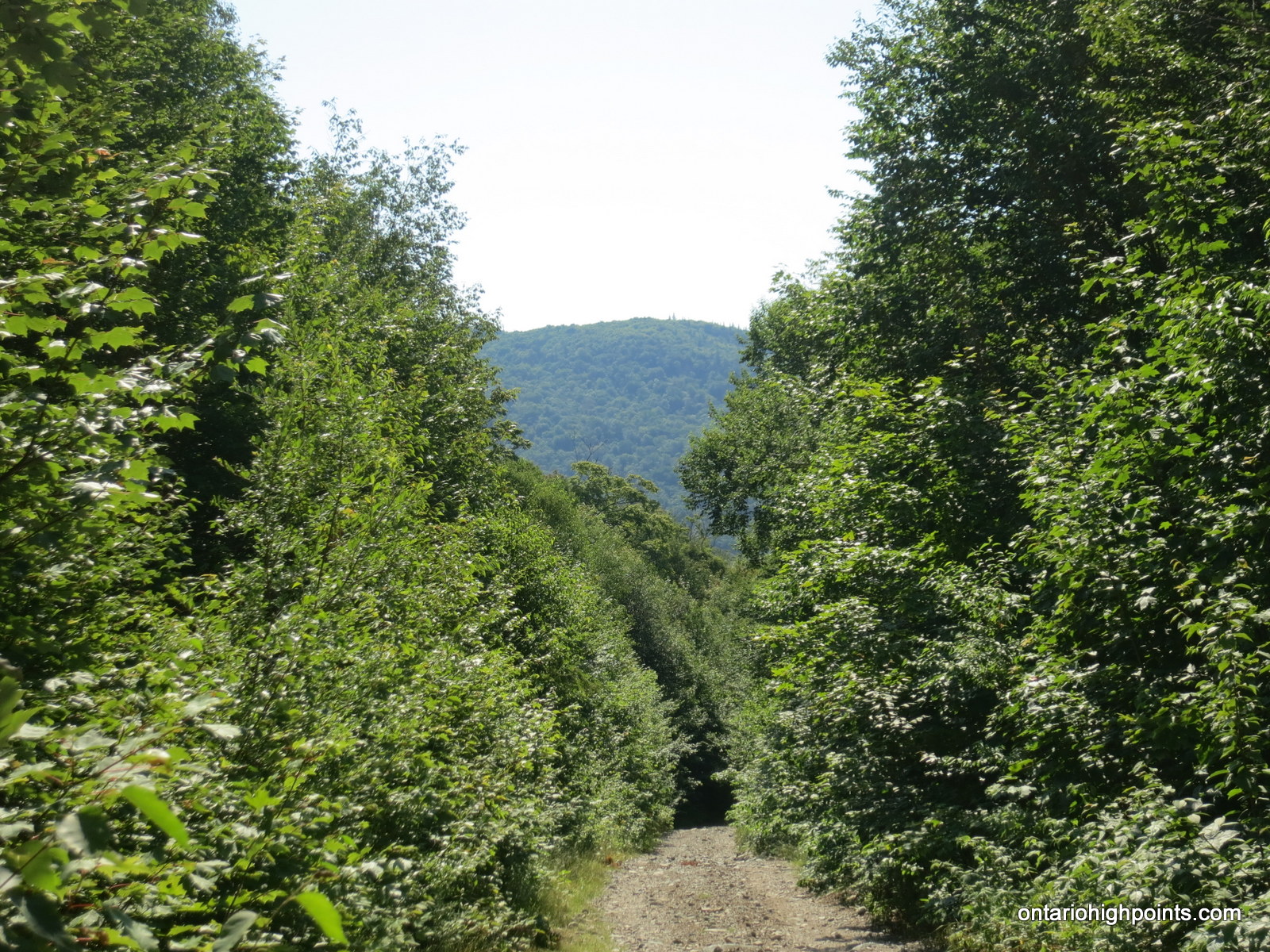
- View at the start of the bushwhack along Mamainse Road
-
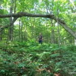
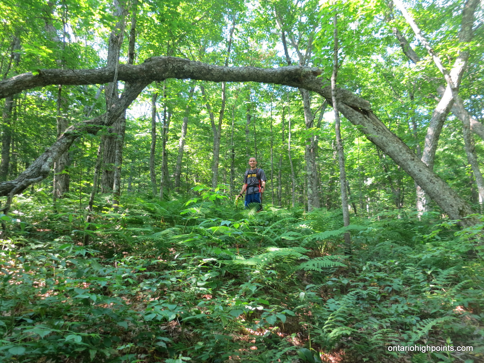
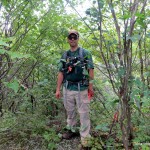
- Spencer under a tree arch
-

- Spencer and Dan nearing the summit
-
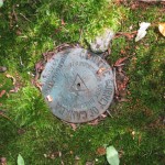
- Geodetic marker at the summit
-
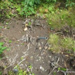
- Steel rod at the summit
-
- At the summit
-
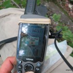
- GPS elevation at the summit
-
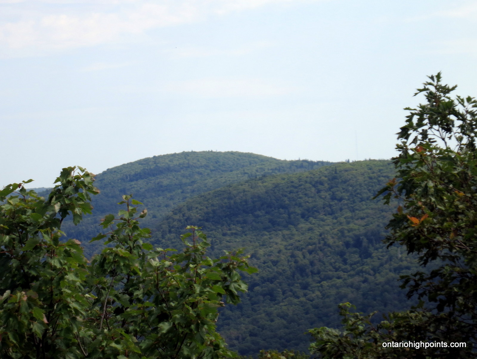
- Spider Lakes Peak as seen from the eastern cliffs of Mamainse Hill
-
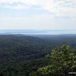
- Batchawana Bay / Lake Superior

-

- Spencer at the edge of the Mamainse Cliffs
-
- Dan enjoying the panoramic view
-
- View from the top of the cliff on Mamainse Hill
-

- Reclaimed beaver pond
-
- Enjoying the views
-
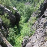
- Looking down the cliff face
Videos: