Blackspruce Lake Peak
Posted by Derek on Aug 17, 2013

Blackspruce Lake Peak
Height: 2146 feet / 654 meters
Lat/Lon: N47.6169 W84.324
Clean Prominence: 745 feet / 227 meters
Line Parent: Ogidaki Mt
Key Col: N47 41.543 W84 01.056 (1411ft / 430m)
GPS recorded height: 2148 feet / 655 meters
Date Summited: August 8, 2013
Overview:
Blackspruce Lake Peak is a remote peak in the Algoma Wilderness, northeast of the Agawa Canyon. The mountain is the easternmost member of a group of peaks, which includes another 2100 footer; Parch Creek Peak East. Blackspruce Lake which gives the mountain it’s name, drains into Blackspruce Creek, which winds it’s way west into the Agawa River at the Algoma Central Railway.
Directions:
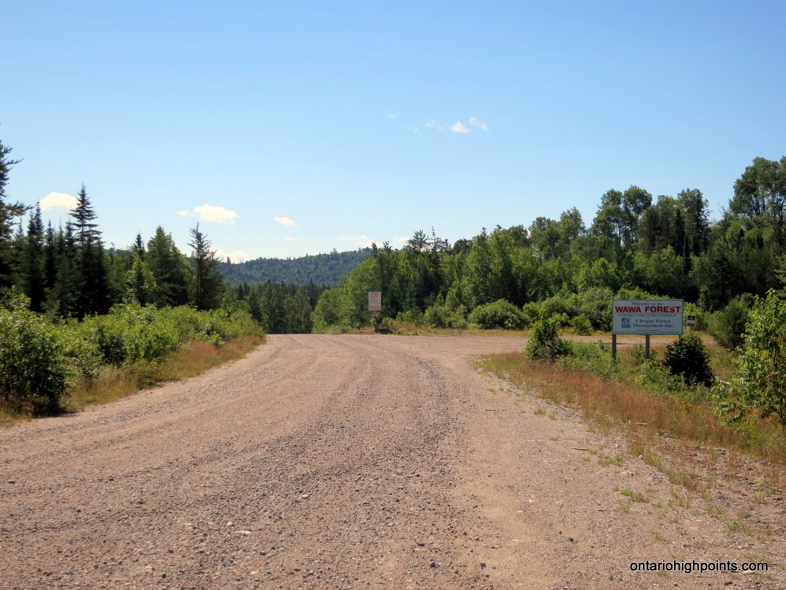
From Wawa, travel 37 km east along HW 101 to the turnoff onto Tik Road. Turn right (south) onto the well maintained logging right (Tik Road) and drive for 29.5 km to a major fork. Turn left (east) at the fork onto Crossover Road.
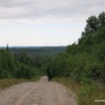
5.0 km from the intersection of Tik/Crossover, the road passes within 1.2 km of Mt. Baldy, which has a fire tower on top. There might be some washouts that need to be navigated along this road. 12.5 km from the intersection of Tik/Crossover turn right (south) onto Beaupartlant Road.
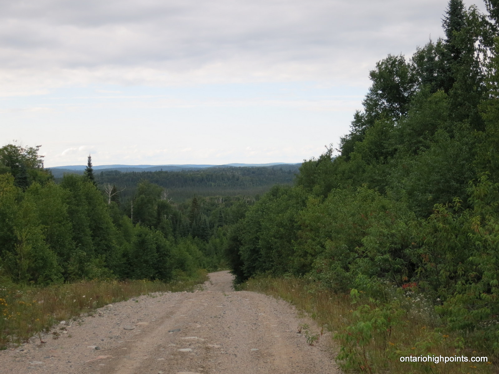
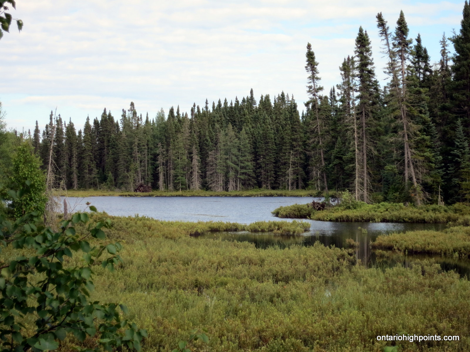
Travel along Beaupartlant Road, which is narrower and rougher, for 21.3 km. After crossing Jimmy Creek, turn right (or park) onto an overgrown road which diverges to the right. Only 4×4 vehicles should proceed beyond this point. Travel 2.7 km to the end of the road, where there is a small open area suitable for parking at N47 36.140 W84 18.704.
From the end of the overgrown road, it is a 2.5 km, (1.9 km as the crow flies) north-northeast hike (338 degree magnetic compass heading) to the summit of Blackspruce Lake Peak.
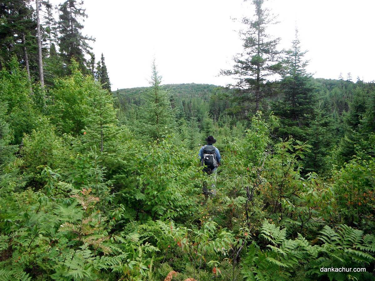
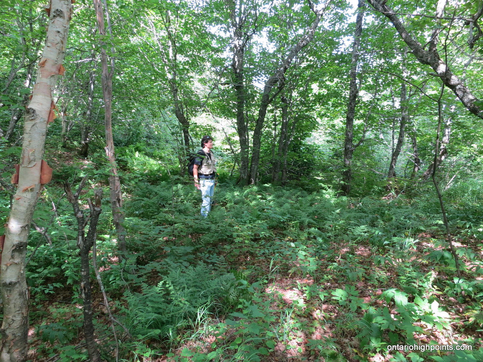
The hike begins in a partially open forest regrowth area. Skirt the wetlands to the west by heading north until reaching N47 36.391 W84 18.809, then head west across a small creek and then proceed on a direct course to the peak. Once across the creek, the rest of the hike is through mixed forest until reaching the summit.
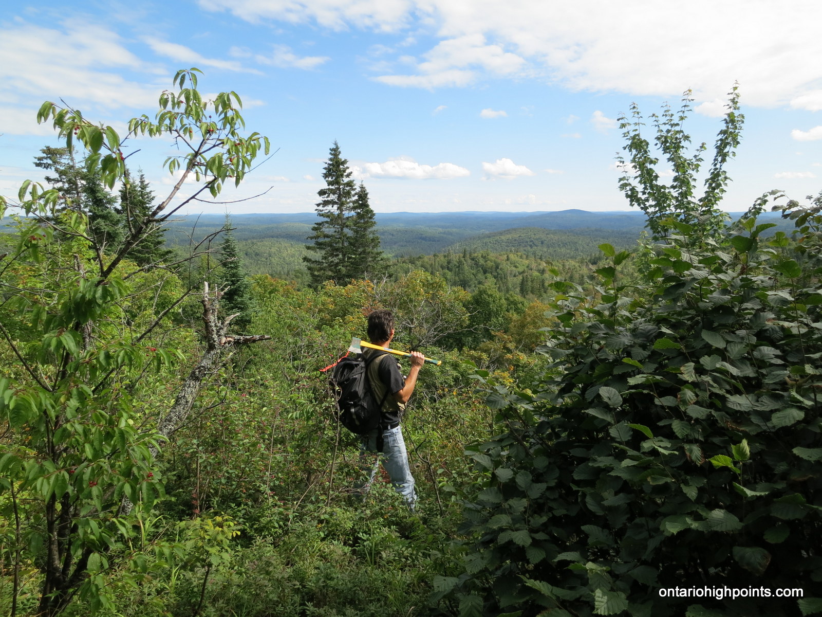
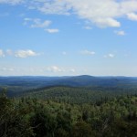
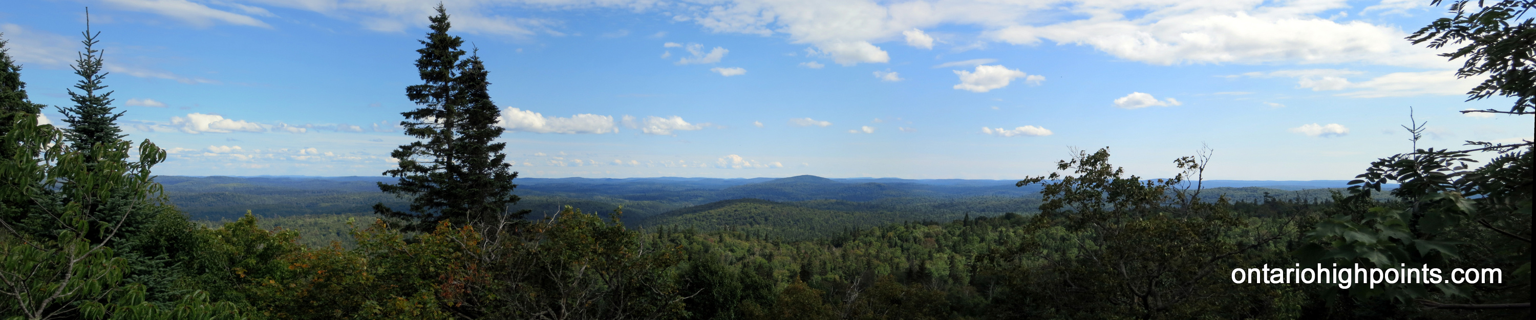
There are good southerly views atop a rock ledge at the south edge of the summit area at N47 36.921 W84 19.387. The summit is partially open, but has limited views to the east.
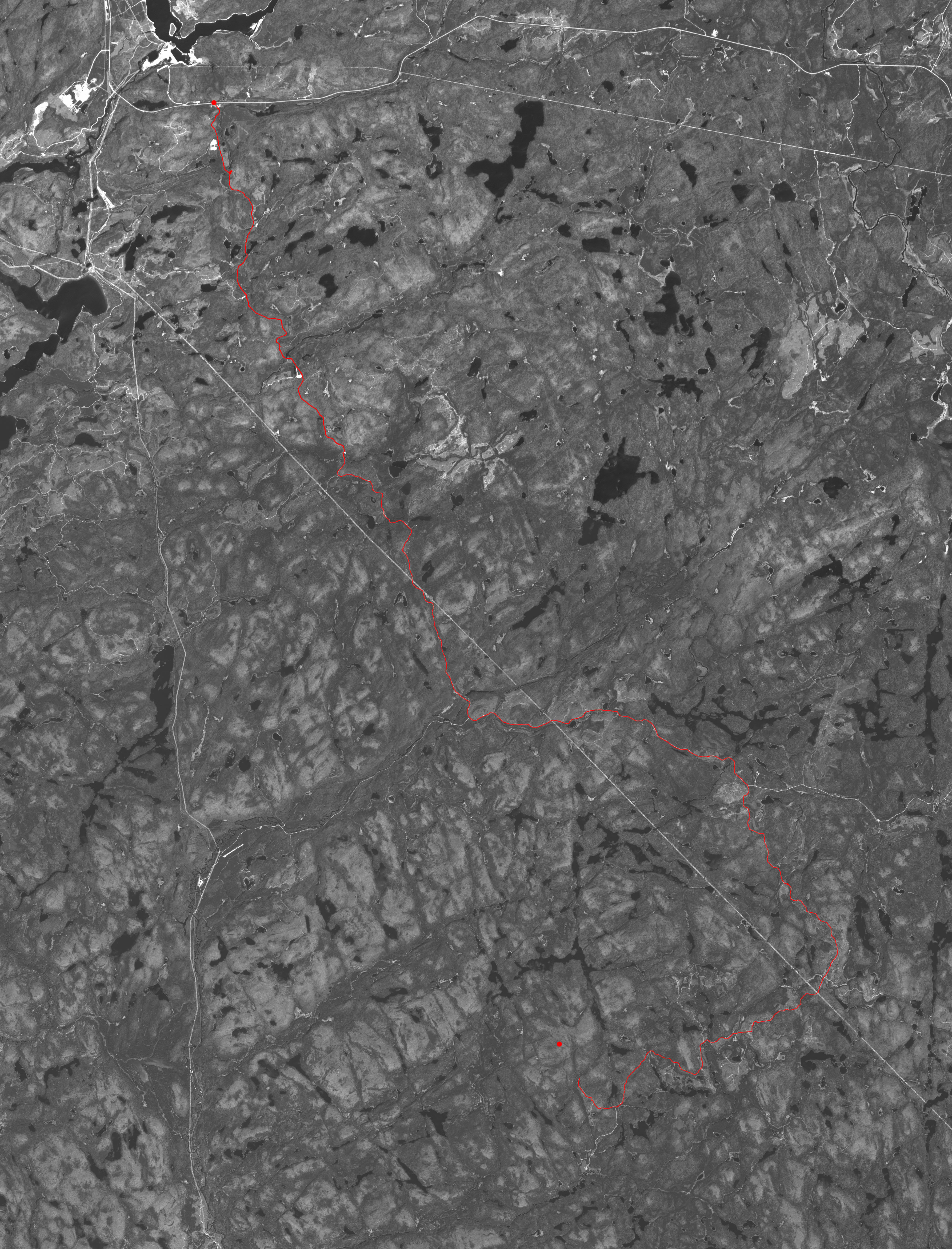
View a larger version of the map
Trip Summary:
00.0 km – Turned right from HW 101 onto Tik Road (11:05 AM)
29.5 km – Turned left onto Crossover Road (12:05 PM)
34.5 km – Closest approach and views of Mt. Baldy (12:15 PM)
42.0 km – Turned right onto Beaupartlant Road (12:37 PM)
63.3 km – Turned right onto overgrown bush road (1:24 PM)
65.0 km – Parked at the end of the road, small clearing (1:36 PM)
00.0 km – Start of bushwhack through clearcut regrowth (2:05 PM)
00.6 km – Passed northern boundary of wetlands (2:22 PM)
02.2 km – Views south and east near summit (3:41 PM)
02.5 km – Arrived at Blackspruce Lake Peak summit (3:51 PM)
02.5 km – Departed Blackspruce Lake Peak summit (4:25 PM)
04.7 km – Arrived back at the truck (5:26 PM)
Trip Report:
I left Sudbury in the afternoon of August 7th, as the forecasted rain had given me reason to abort my plans to hike Mt. Belvedere earlier in the day. Near Spanish, a river had overflowed it’s banks and flooded Hwy 17. There were a few inches of water across the road for about 100m, but cars were making their way across safely. All this water was not a great sign for the next day’s hike.
After a brief stop in the Soo for gas and food, I reached my destination: Jack and Anne’s place in Heyden, where I was crashing for the night. The next morning, Dan picked me up and after repacking his 4×4 truck with my gear and bike, we were on our way north to Wawa.
The day was shaping up to be a much nicer day than the previous rainy day. We reached Wawa for gas and then continued eastwards along Hwy 101. As short drive later, we reached the turnoff onto Tik Lake Road, and with no one else around began the drive south along the nice wide gravel road.
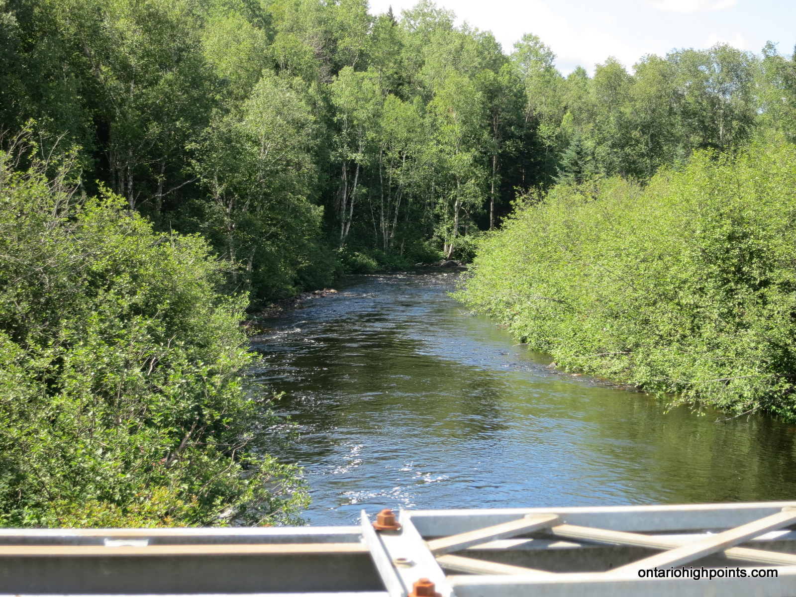
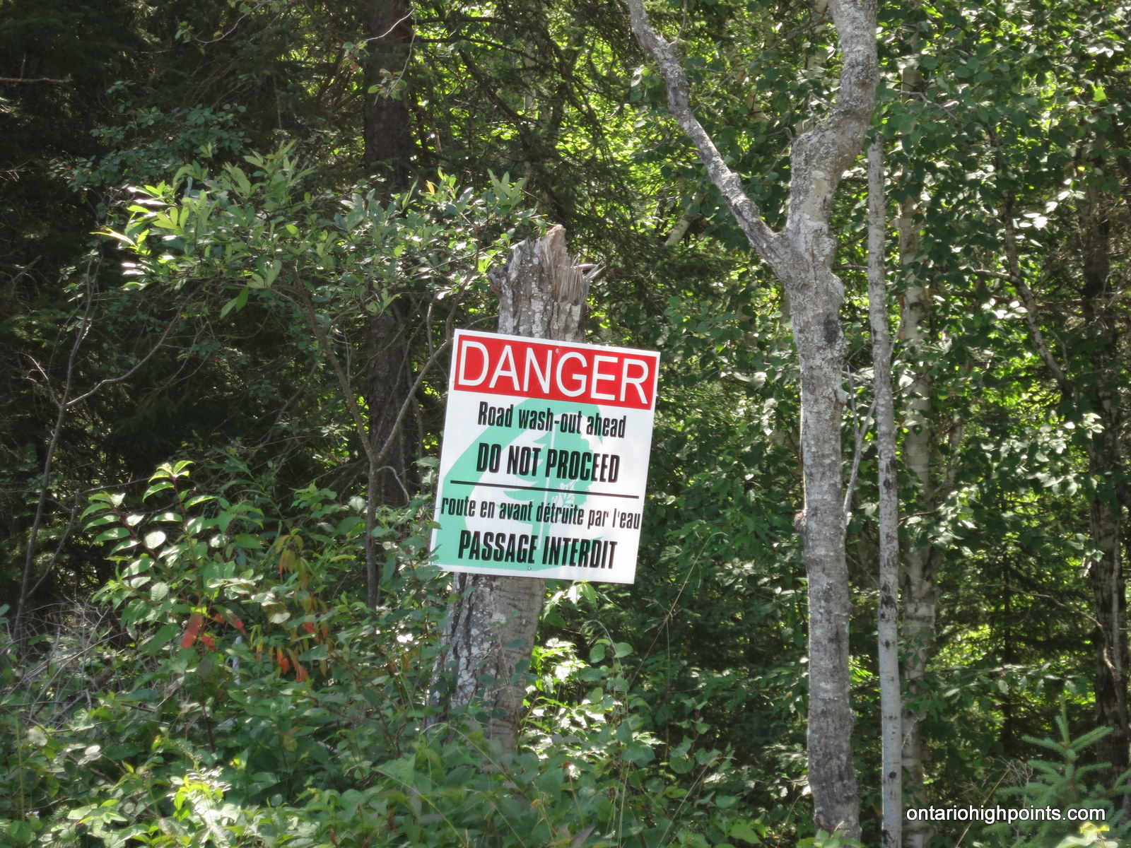
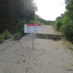
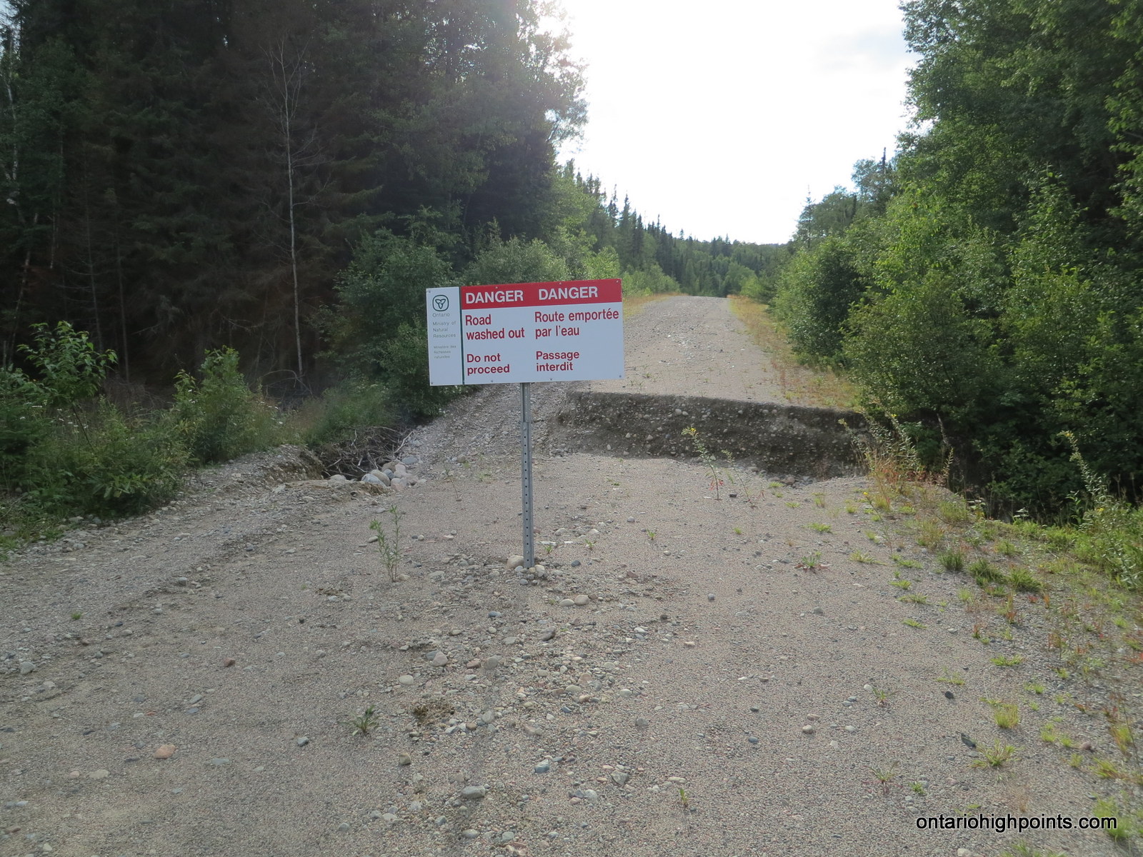
At about 29 km from Hwy 101, we reached a steel framed / wooden plank bridge which crossed the Agawa River. We noticed that the water levels appeared very high, which Dan described as spring run-off levels. After turning left (east onto Crossover Road) at the Y-intersection of Tik, Millwood and Crossover Roads, we passed by a sign: Road Closed: Washouts Ahead. I was starting to worry; perhaps our trip would be cut short by impassable road.
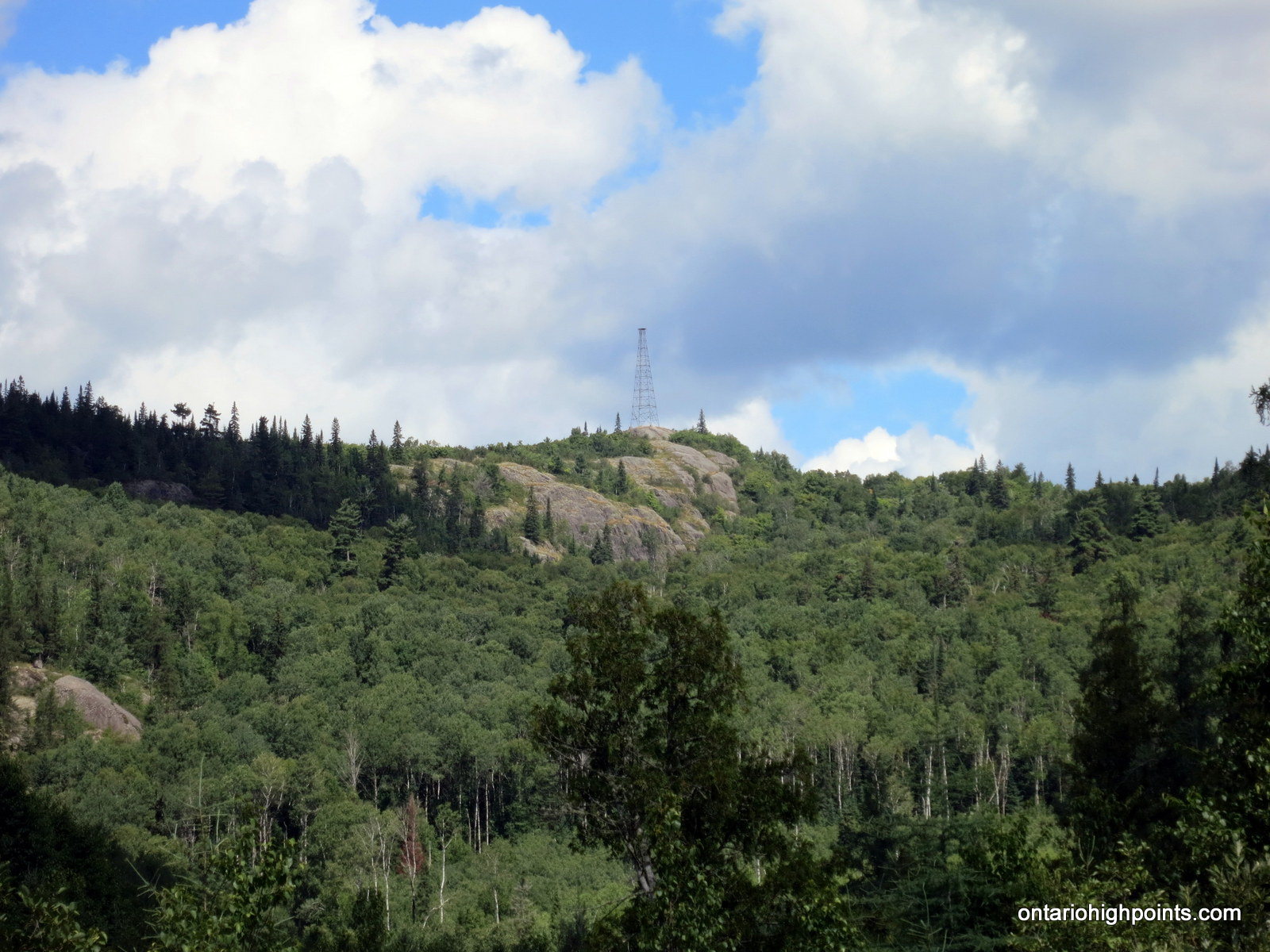
Before reaching any major washouts however, Mt. Baldy and it’s Fire Tower came into full view — only a kilometer away. True to it’s name, the peak has a bald rock summit with most likely great views of the area.
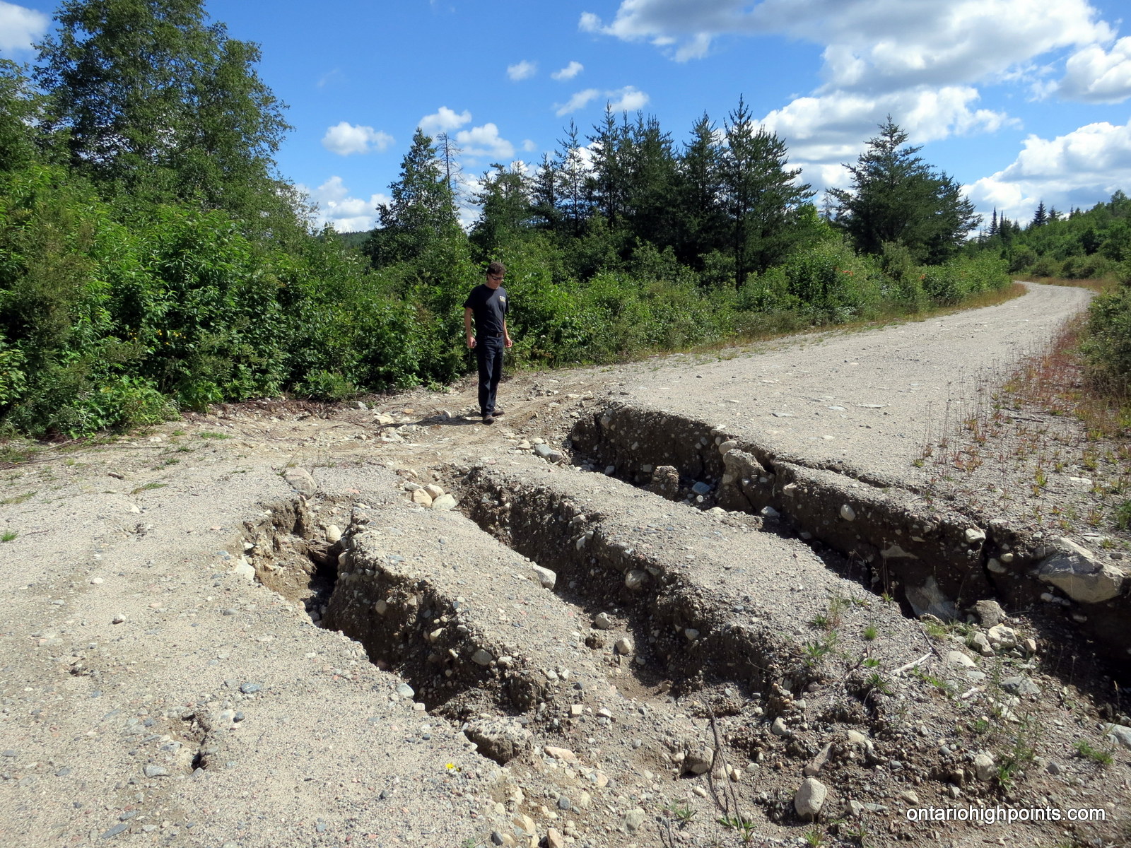
A few kilometers up the road, we discovered the reason of the ‘washouts ahead signage’; a set of deep cuts across the road. Luckily a previous visitor had performed some minor road repair and we were able to to safely cross the washout along the left shoulder where the washouts were partially filled in.
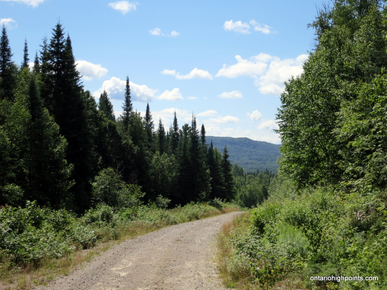
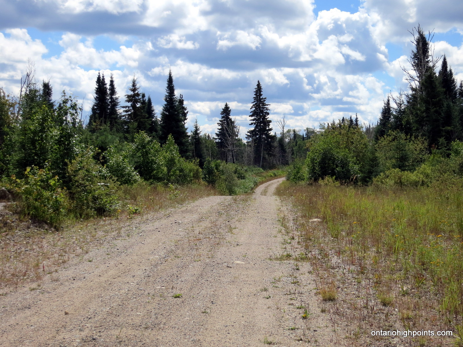
A short time later we arrived at the intersection with Beaupartlant Road. We turned south (right) onto the narrower, but still well groomed road for the last 21 km of easy driving.
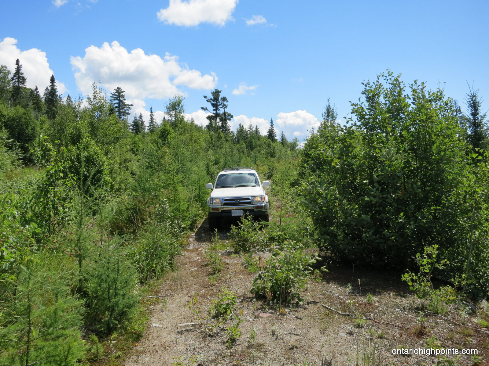
After passing by Jimmy Creek, we turned right onto an overgrown road which passed through a recently (5-10 years ago) clearcut forest. There was a lot of small bushes and trees on the road, but Dan was able to drive his 4×4 through it for about 1 km until the road was finally too overgrown to continue. We parked in a small clearing and suited up for the hike. From the clearing I was able to see the forested summit of Blackspruce Lake Peak.
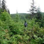
From the truck, we hiked north-northwest through the partially cleared forest, initially parallelling a small creek and swamp area. After bypassing what we determined to be the worst of the swamp we elected to turn west to take our chances with the creek crossing. We easily crossed the creek and after passing through the remaining swamp area, we realigned our heading back to north-northwest to intersect with Blackspruce Lake Peak.
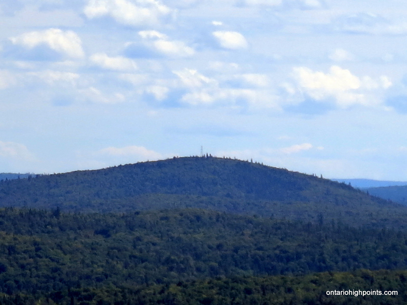
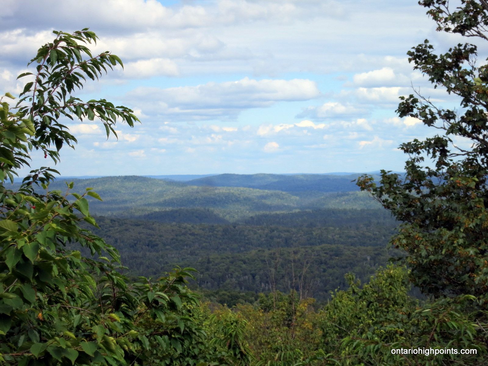
The remaining ascent was easily navigated as the mixed forest did not provide any major obstacles or bushwhacking challenges. The upper elevations were dotted with abundant concentrations of blueberries and a rocky ledge which presented good views of the region to the south; Austin Lake Peak and the fire tower on it’s summit visible in the distance.
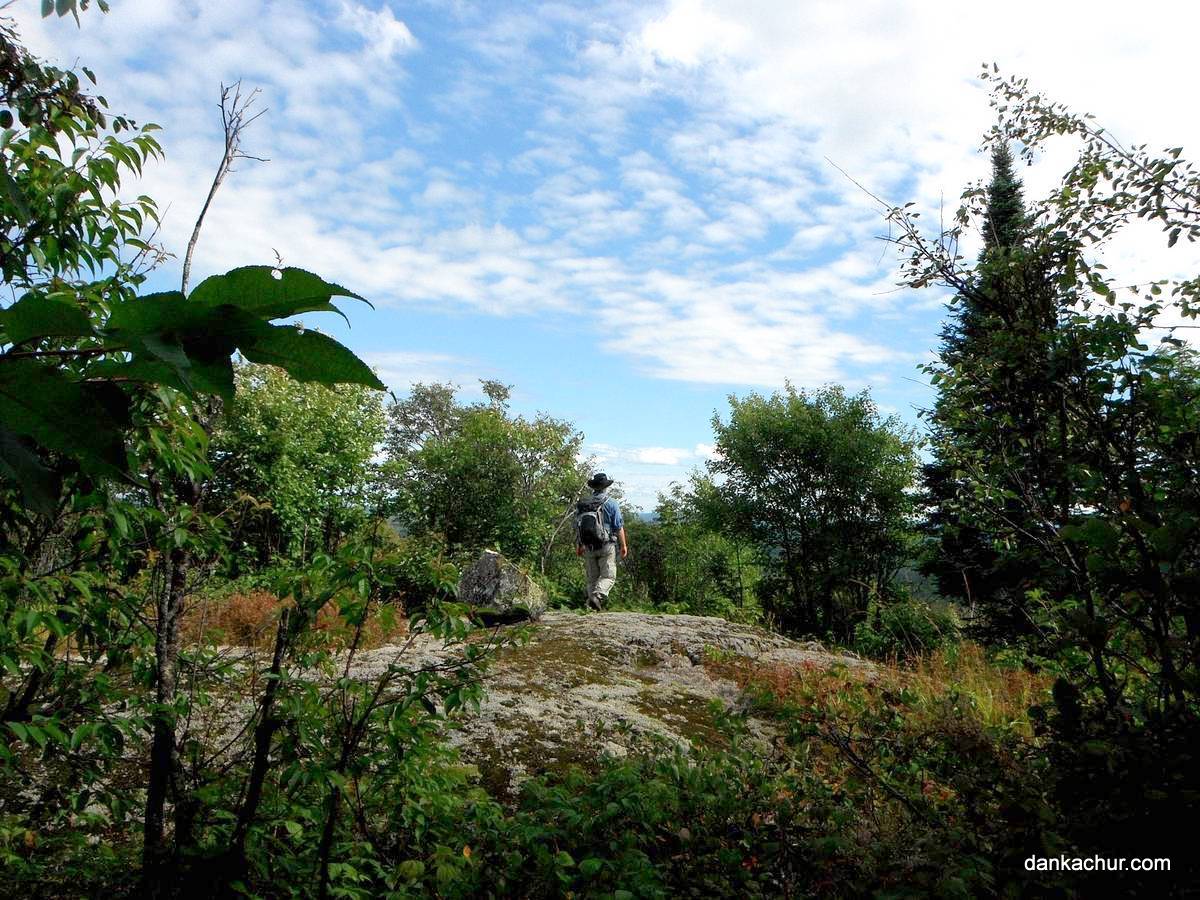
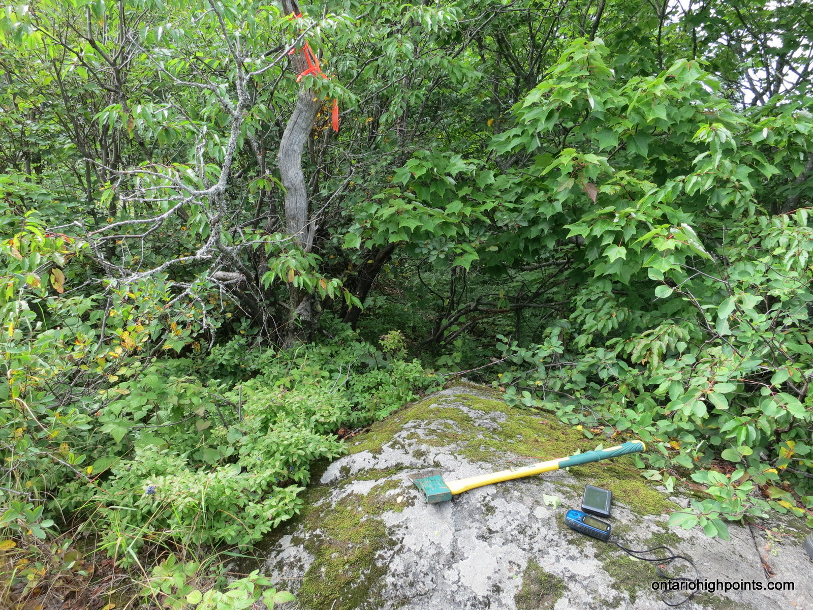
Beyond the ledge and after traversing through rocky clearings and the sparse forest for about 200 meters, we determined that we had found the highest point on the peak on a flat exposed rock outcrop at N47 41.543 W84 01.056.
After exploring the summit and finding only limited views; partial views east, we headed back to the ledge on the southern shoulder of the summit where we enjoyed some refreshments and then began our trip back down. Knowing the terrain ahead of us, we were able to optimize our route down and shave a few hundred meters off the trek.
We reached the truck after about an hour of descent and after stowing our gear we began the drive back along Beaupartlant and Crossover Roads. Our plan was to take Millwood Road to Rainer Lake Road and camp out near Rainer Lake chosen due to it’s close proximity with the start of the bushwhack to Parch Creek Peak East — our objective for the next day’s hike.
Unfortunately, half a kilometer along Millwood Road, we encountered a severe washout which blocked our route. Miles from our objective, we abandoned our Parch Creek Peak plans for the next day and headed out, back to Wawa for supper. It was late night when we finally rolled into the Soo region.
Gallery:
-
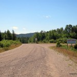
- Turn off from HW 101 onto Tik Road
-
- View north along Tik Road
-
- View South from Tik Road
-
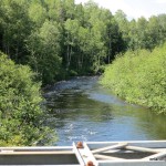
- Agawa River
-
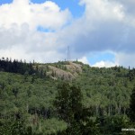
- Mount Baldy as seen from Crossover Road
-
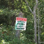
- Danger: Road wash-out ahead
-
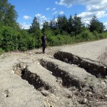
- Dan investigates wash-out along Crossover Road
-
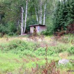
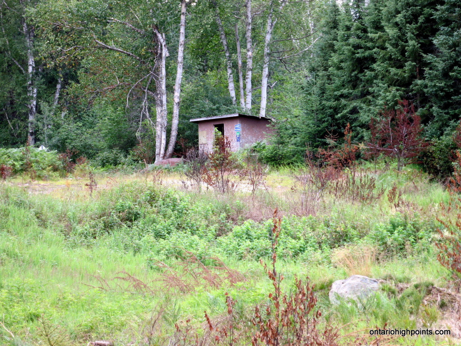
- Hydro-line trail shelter
-
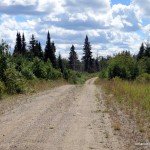
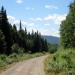
- Beaupartlant Road
-
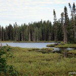
- Jimmy Creek / Pond
-
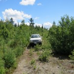
- End of the road
-
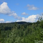
- Blackspruce Lake Peak
-
- Start of the Bushwhack
-
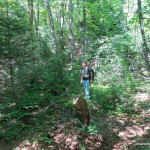
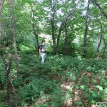
- Heading up through the forest
-
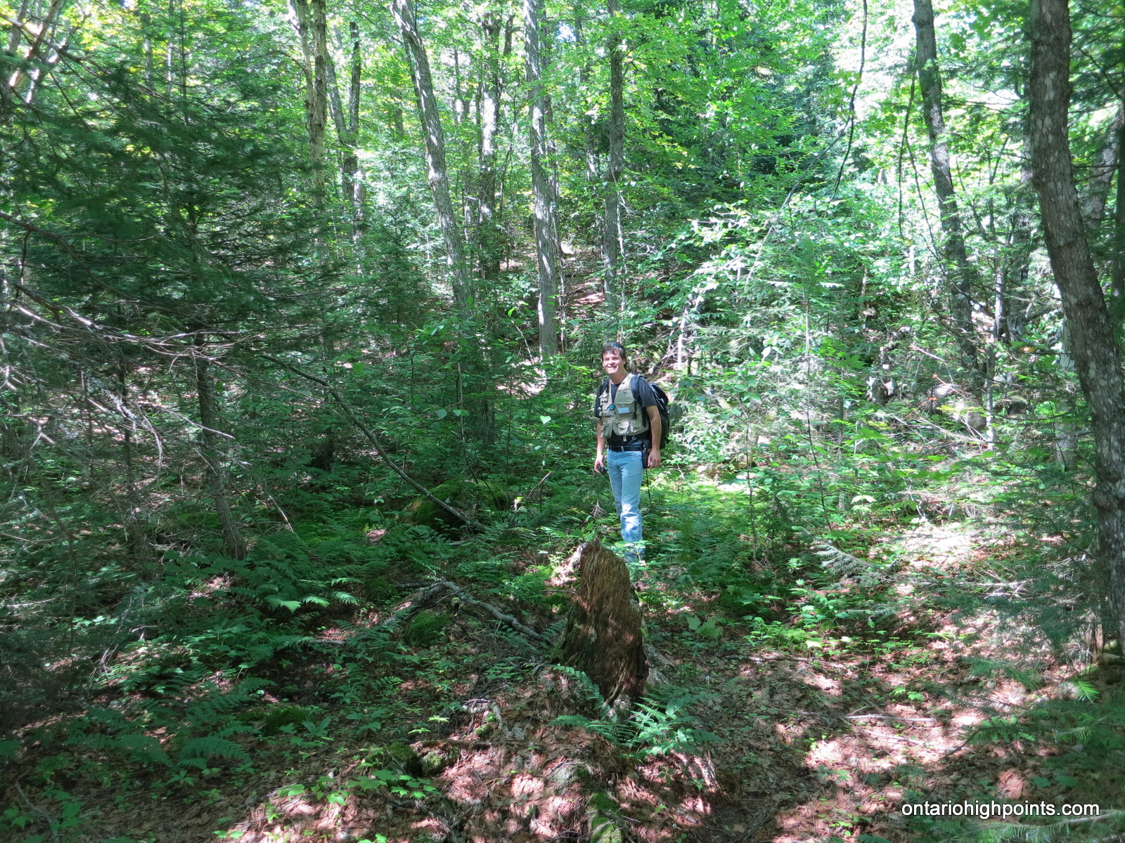
- Dan crossing summit fern glen
-
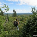
- Looking south from Blackspruce Lake Peak
-
- View South from Blackspruce Lake Peak
-
- Austin Lake Peak + Fire Tower
-
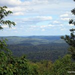
- View East from Blackspruce Lake Peak
-
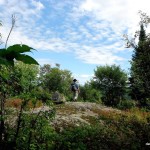
- Nearing the summit
-
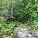
- Summit of Blackspruce Lake Peak
-
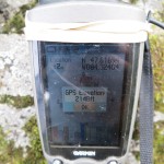
- Elevation of Blackspruce Lake Peak
-
- Road washed out on way to Millwood
-
- Satellite Image (Courtesy of geobase.ca)
Videos:
Blackspruce Lake Peak GPS Track (.gpx format)
Related Links:
Blackspruce Lake Peak on dankachur.com
High Resolution Imagery for Northern Ontario