Grey Owl Peak
Posted by Derek on Dec 12, 2014

Grey Owl Peak
Height: 2103 feet / 641 meters
Lat/Lon: N47.2503 W84.2273
Clean Prominence: 489 feet / 149 meters
Line Parent: Alvin Lake Peak
Key Col: N47 15.028 W84 14.486 (1411ft / 430m)
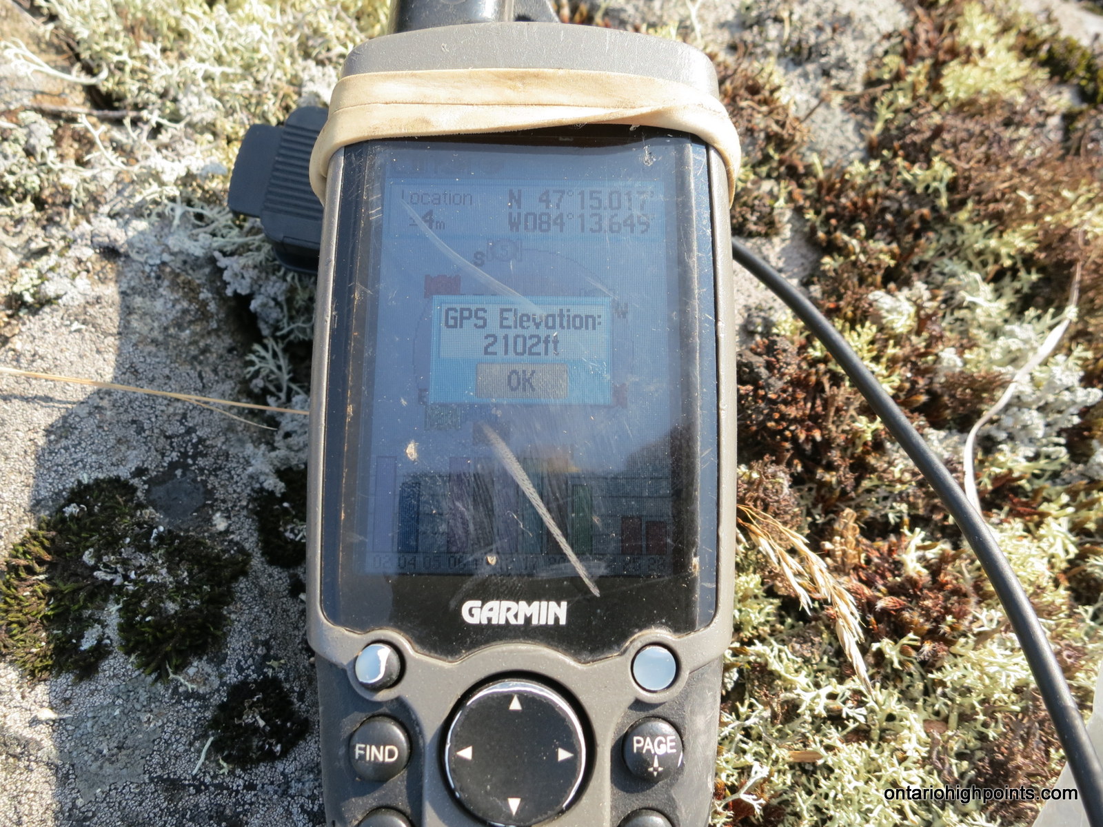
GPS recorded height: 2102 feet / 641 meters
Date Summited: August 15, 2014
Overview:
Grey Owl peak, named after nearby Grey Owl Lake (2 km west) is a remote Algoma Peak which affords outstanding views of the area. From the summit, many of the high Algoma hills are visible, including Alvin Lake Peak, Ogidaki Mt., Griffin Lake Peak and Batchawana Mt. Even though the Peak is less than a 1 km bushwhack from a road*, due to the distance from from a major road (55.8 km away from Hwy 17), it is a difficult mountain to access. As the Ontario Basic Mapping (OBM) series maps show a 640 meter contour at the summit, this peak meets the Ontario 2100 footer list criteria.
* Mile 38 Road becomes a 2-track road north of the Batchawana River
Directions:
Take Hwy 17 Northbound from Sault Ste. Marie for 53 km until the turnoff onto Mile 38 Road. Turn onto Mile 38 Road and follow it northeast for 19.7 km to the junction with McDonald Creek Road. Stay on Mile 38 Road as it veers north and follow the now noticeably rougher road for 22.3 km to the Batchawana River at KM 42. At KM 42, you will arrive at a 3 way intersection — turn right and follow Mile 38 Road east for 2.5 km. Cross over the Algoma Central Railway tracks and make your way to the Batchawana River bridges. Alternatively, at the 3 way intersection, you can keep straight (left) and descend via an access road to the ACR tracks and intersect Mile 38 Road at the ACR crossing.
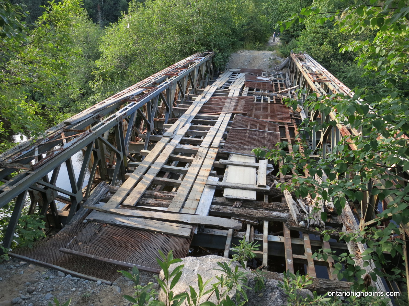
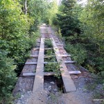
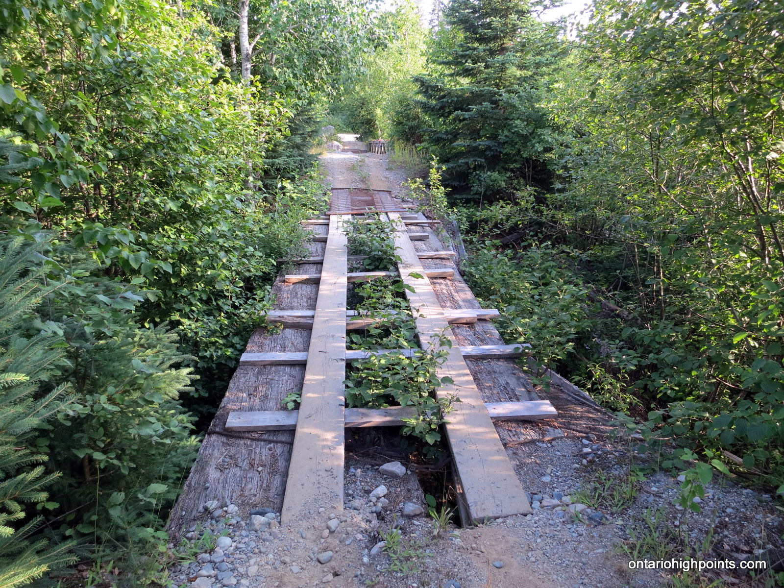
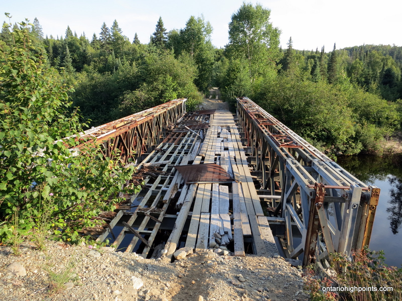
The 3 bridges that make up the Batchawana River crossing are not suitable for a truck/car and therefore, you will have to park at the clearing just south of the bridges. As most (if not all) of the bridges’ original floor deck is missing, wooden planks and metal screens have been laid across in makeshift fashion to allow passage. You should only proceed across with extreme caution (you have been warned).
Beyond the bridges, the road narrows to a 2-track strewn with loose boulders. Follow this road for 11.3 km to the area near a pond, 700 meters southeast of Grey Owl Peak. Begin the bushwhack at the southwest edge of the pond. The initial 250m walk is fairly level, but afterwards the ascent steepens considerably with numerous obstacles to be avoided.
Once reaching the top of the south facing cliffs, proceed northwest through alternating open rock clearings and thick tag alder to a small rocky rise that is the summit. A moss-covered rock slab is the highest point on the peak.
View a larger version of the map
Trip Summary:
00.0 km – Turned off of Hwy 17 onto Mile 38 Road (11:25 AM)
19.7 km – McDonald Creek Road (12:00 PM)
42.0 km – Arrived at Batchawana River (1:18 PM)
42.0 km – Departed Batchawana River (2:30 PM)
55.8 km – Arrived at base of Grey Owl Peak (3:36 PM)
00.0 km – Start of Bushwhack to Grey Owl Peak (4:00 PM)
01.1 km – Arrived at Summit of Grey Owl Peak (4:52 PM)
00.0 km – Departed Summit of Grey Owl Peak (5:15 PM)
01.3 km – Arrived back at Mile 38 Road (6:00 PM)
00.0 km – Departed base of Grey Pwl Peak (6:08 PM)
13.9 km – Arrived at KM 42 – Batchawana River (7:10 PM)
13.9 km – Departed KM 42 – Batchawana River (7:25 PM)
55.8 km – Arrived at Hwy 17 (8:53 PM)
Trip Report:
After climbing Mount Baldy and spending the night in Wawa, Dan and I set our sights on Grey Owl Peak as the final hike of our 3 day excursion. We departed Wawa after a leisurely morning and made our way south on Hwy 17. After stopping at the Voyageur Cookhouse at Batchawana Bay for gas and brunch we made our way to the Mile 38 Road turnoff.
Mile 38 Road was wide and and generally smooth, except for the occasional washboarded section for the first 20 km to McDonald Creek Road. Past McDonald Creek Road, Mile 38 swung north and as we progressed, the road became rougher and more narrow. For the next hour, we made slow but steady progress up the road, finally reaching the Batchawana River at kilometer 42.
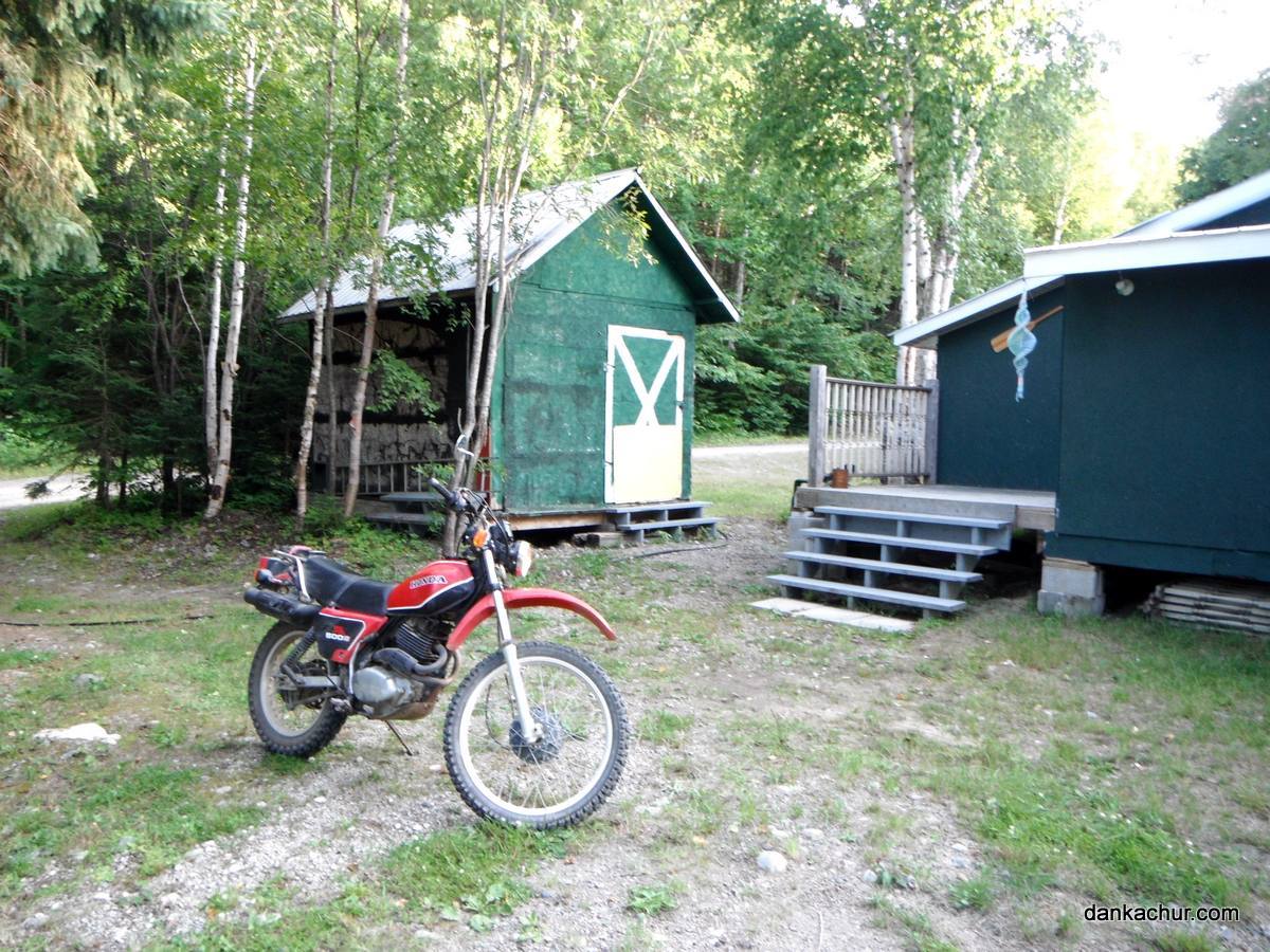
Dan had already laid the groundwork in preparing for this hike. A week earlier, he had stowed his Honda Enduro motorbike at an acquaintance’s camp on the Batchawana River. Because both the road beyond and the bridge over the Batchawana River was not safe for his truck, the plan was to use his motorbike to make the final leg of the journey up Mile 38 Road.
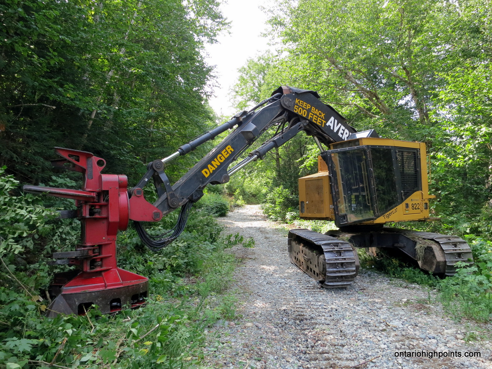
Before we suited up however, we ventured west along a road to a hydro corridor. There, Dan’s acquaintance: Luke Skagen — camp owner and employee of Great Lakes Power, was clearing trees and bushes from an access road using a large cutting tool mounted on something resembling an excavator. He was expecting our visit, as we had been in contact using Dan’s truck mounted ham radio (No cell service in the bush). Introductions were made and we discussed our hiking plans.
It was getting later than anticipated so we made haste back to the camp, pulled out Dan’s bike and got ready for the remaining trip up Mile 38. With Dan driving and myself riding on the back, we drove to a series of 3 bridges over the Batchawana River. As I was disembarking the bike to cross the bridges on foot, a group on quads drove up. They were on their way to a camp on Carpenter Lake. They noted that the next section of road was rough and steep and graciously offered me, a stranger, a ride as it would ease the burden on Dan’s bike.
Beyond the Batchawana River, Mile 38 Road was a narrow 2-track road, strewn with large loose boulders, necessitating careful navigation. The quad’rs let me off at the cutoff to Carpenter Lake, 1 km north of the bridges where I resumed the journey on the back of Dan’s bike. We ascended and descended many rocky hills and for several of the roughest and steepest sections, I had to get off the bike and walk.
After an hour of rough travel, we spotted Grey Owl Peak through the trees ahead of us. I got off the bike to search the area. I was looking for a old road marked on our maps that would bring us a bit closer to the peak. Dan drove further down the road where he discovered a great view of the peak as a backdrop to a small pond. As I was unable to find any trace of the road, I caught up with Dan and we prepared for the bushwhack to the peak.
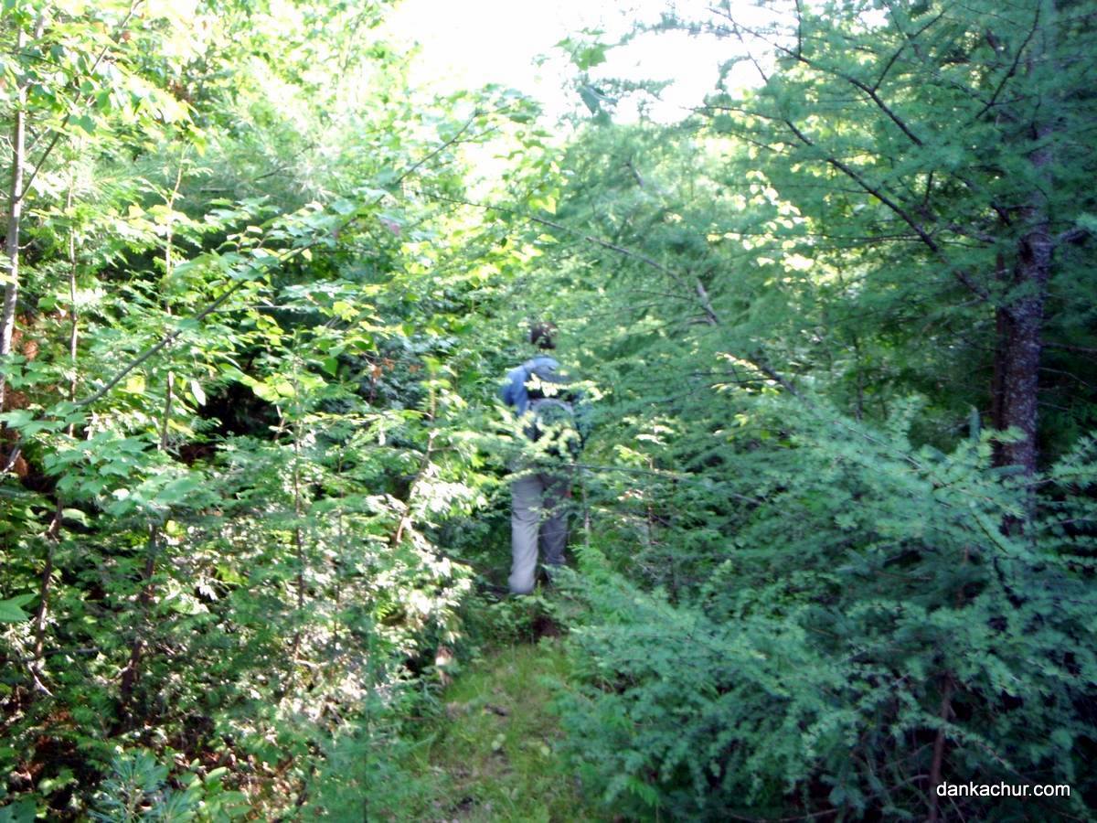
Our first obstacle was the pond where we had enjoyed the views of Grey Owl Peak. In order to skirt the pond, we backtracked south along road for about 150 meters and then turned west and headed into the thickly wooded forest. We immediately crossed a dry creek bed and after a short hike discovered the remnants of the old road which I had been looking for. It was completely overgrown and would not be of any use to us. As we began the steep ascent, there was a lot of deadfall which made direct travel difficult. At several instances, we encountered a line of rock faces which necessitated rerouting our path up the mountain.
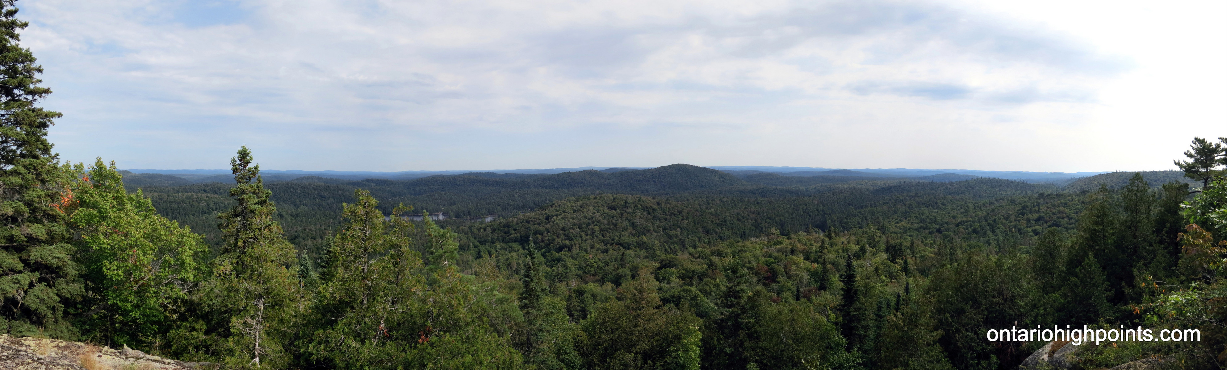
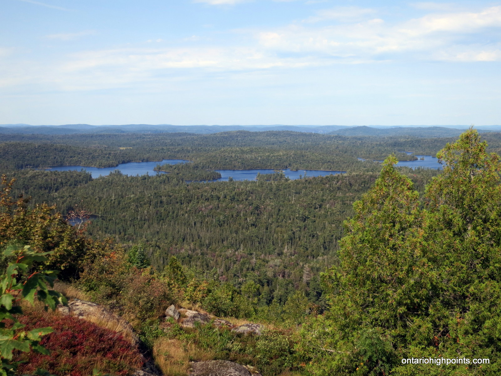
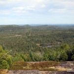
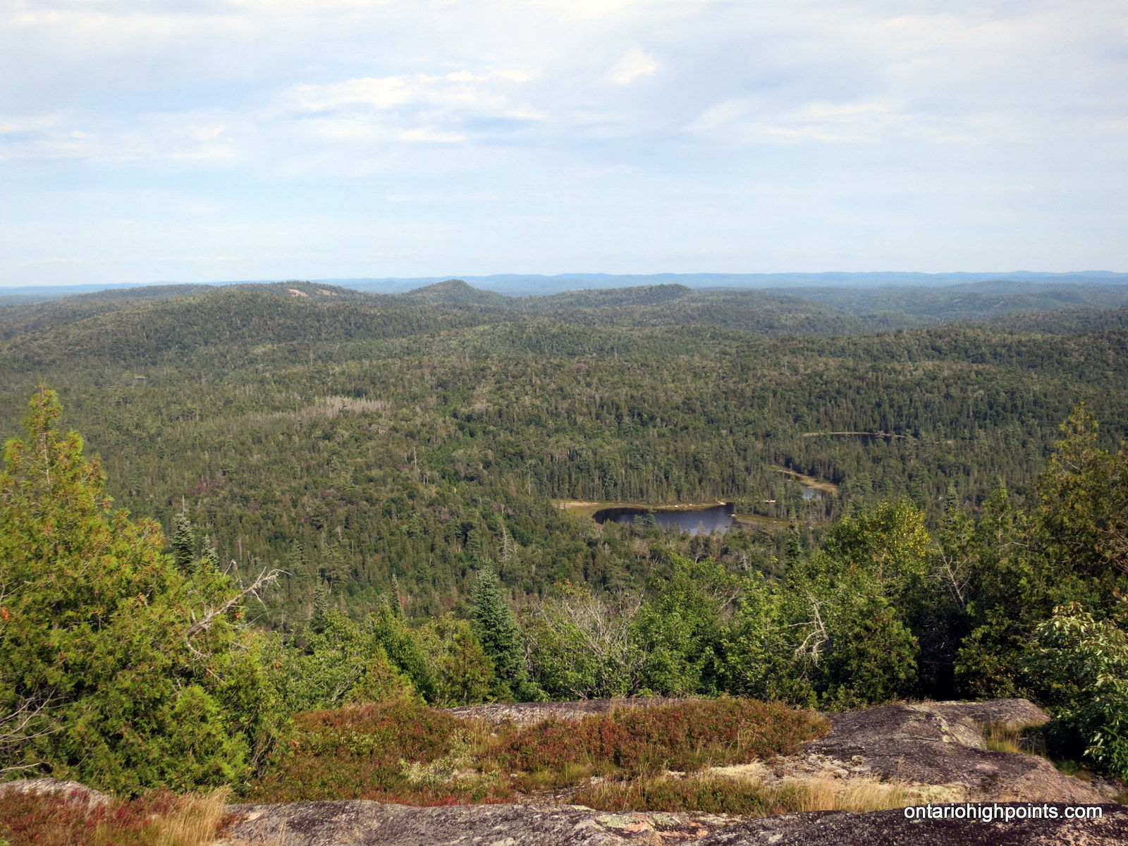
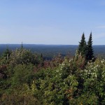
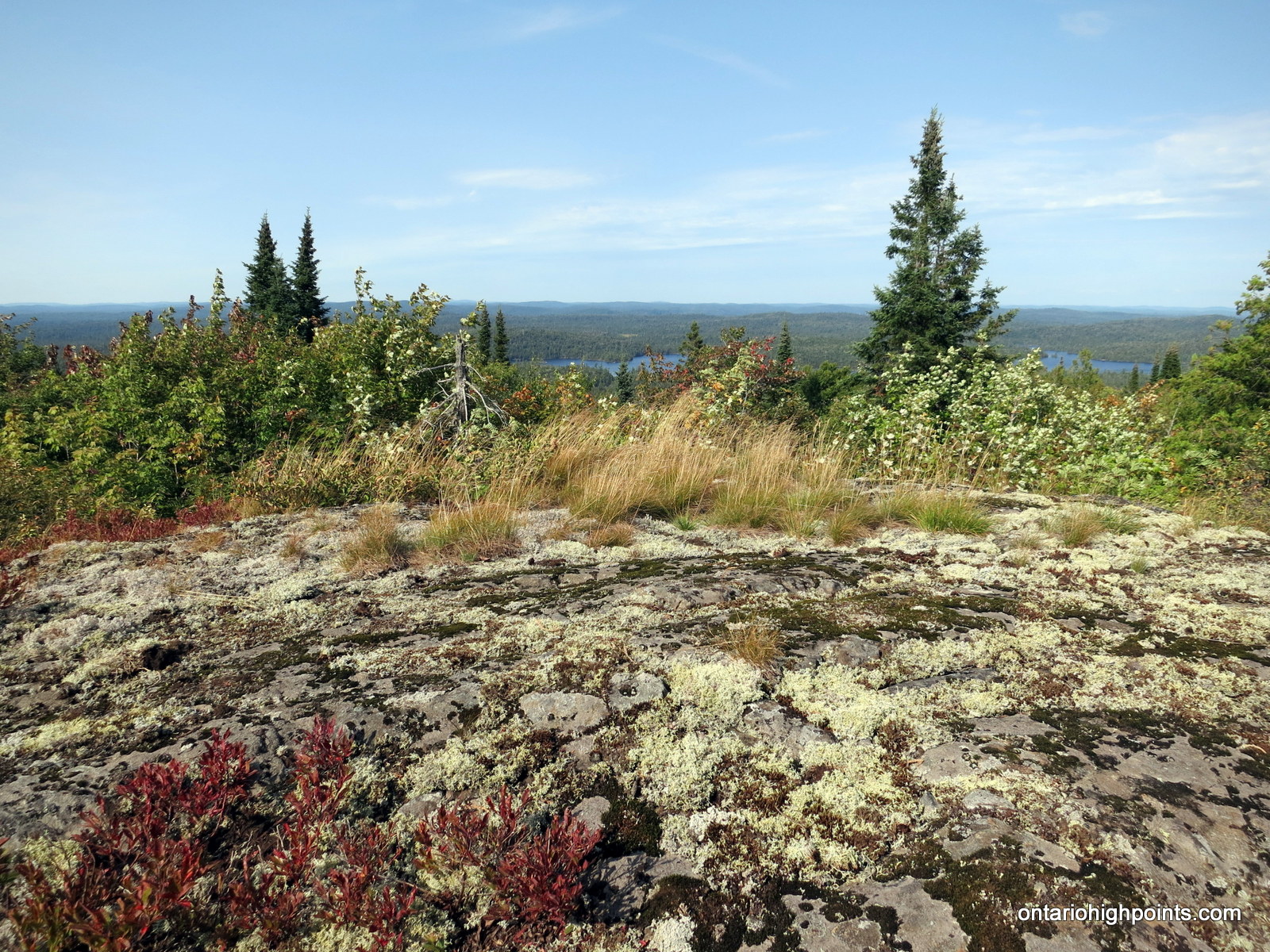
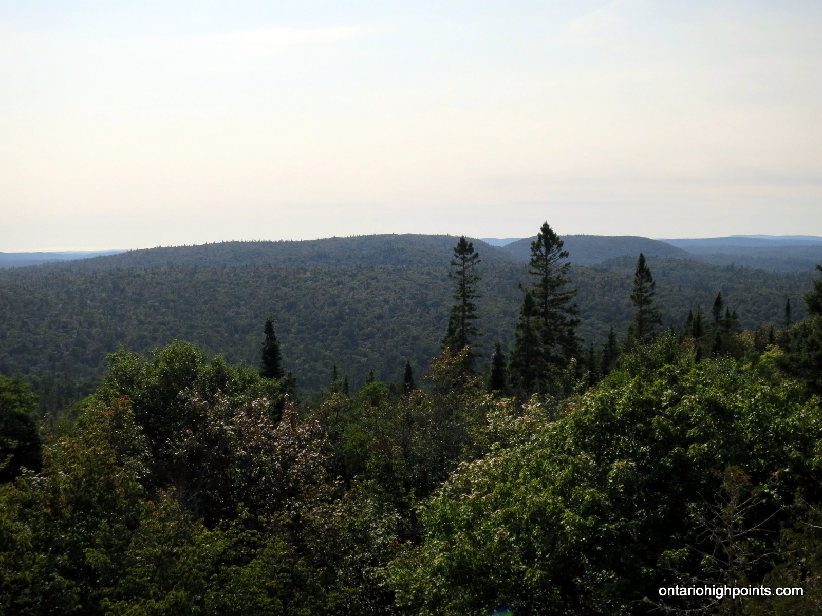
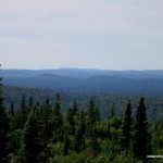
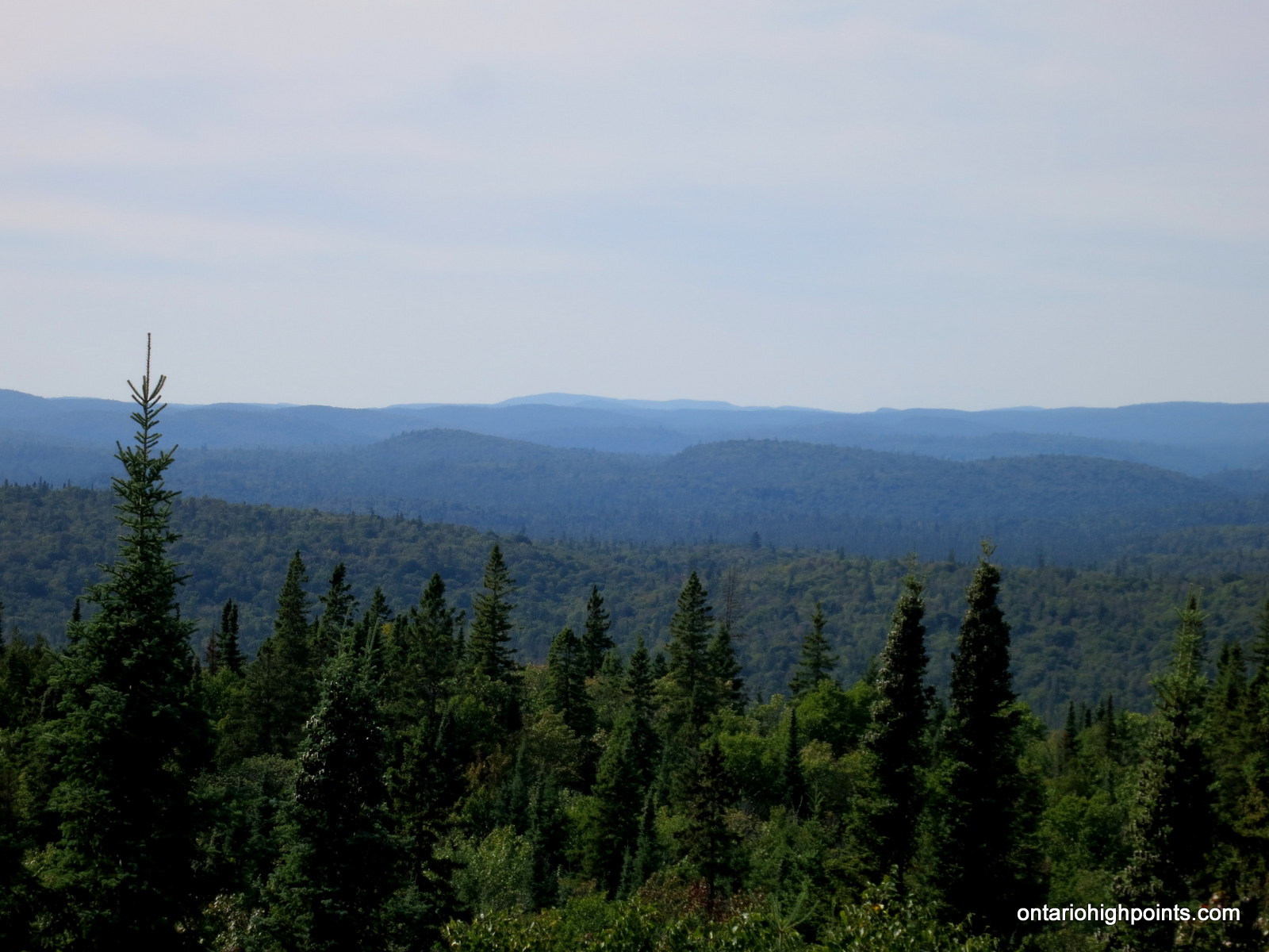
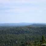
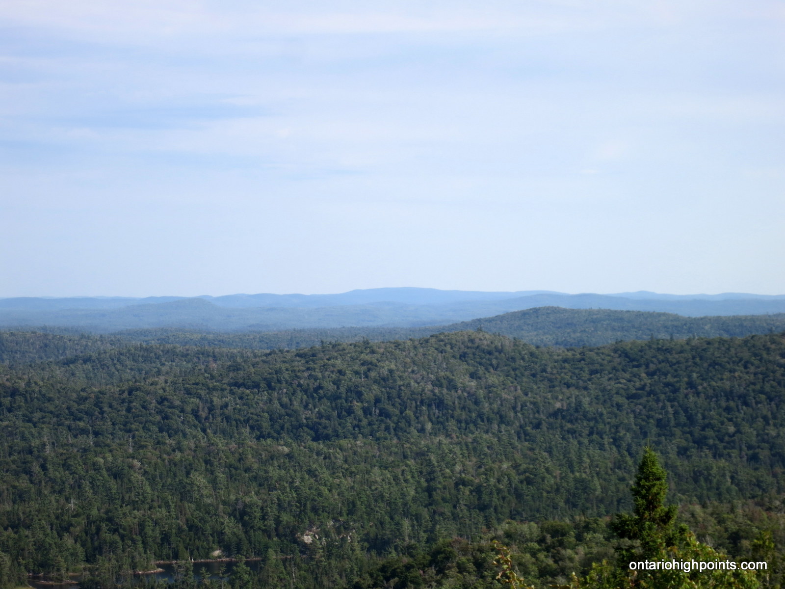
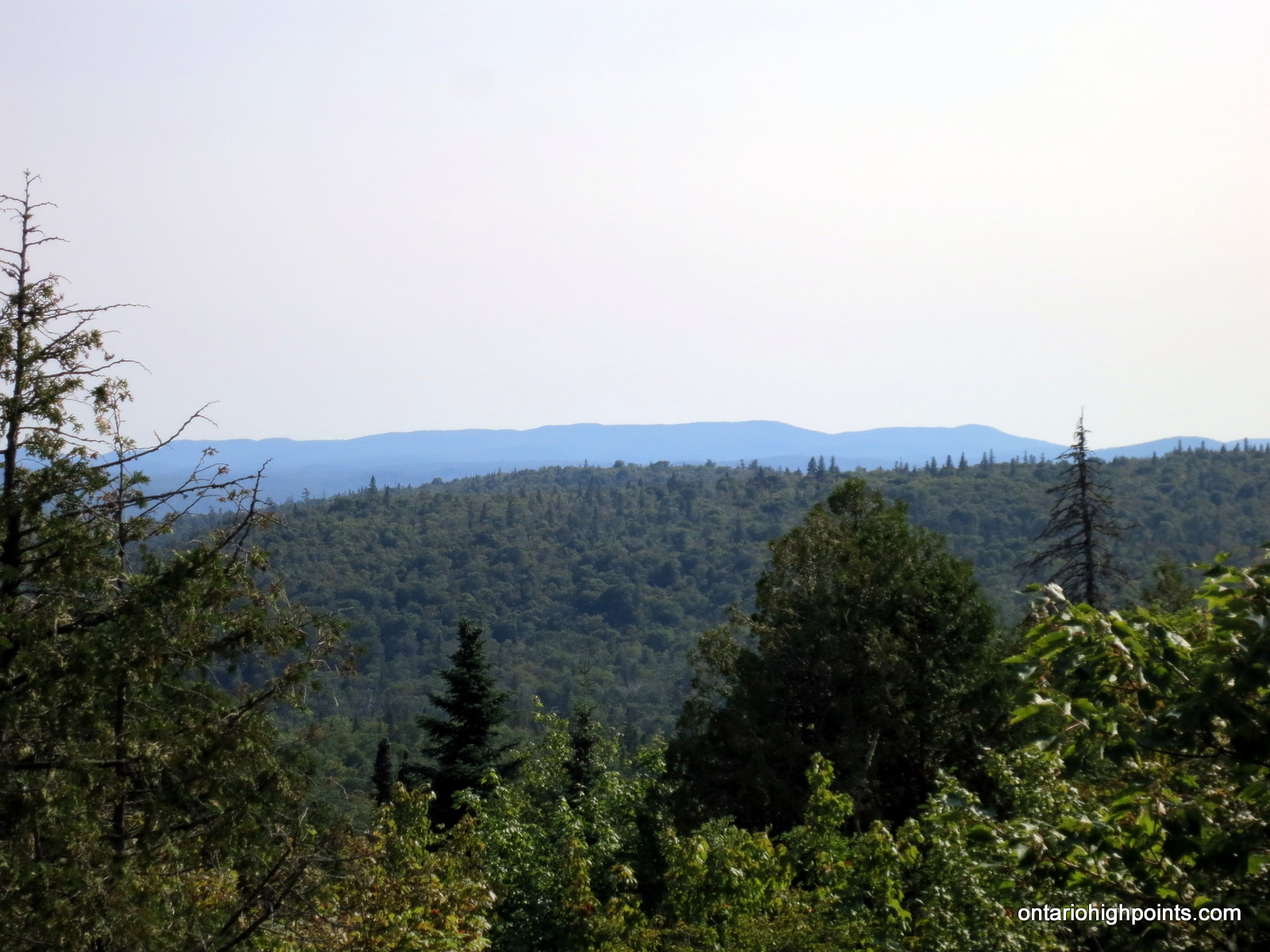
After 45 minutes of bush-thrashing, we erupted onto the top of the rock cliffs that encircled the summit area. We rounded the eastern edge of the summit along the top of the cliffs in order to take in the pleasant views. We veered west and after dropping to a small saddle, we ascended a small bump which appeared to be higher than everything else. From different vantages along the rocky rise we were able to get almost 360 degree views of the surrounding land, including views of Grey Owl Lake, Alvin Lake Peak, Ogidaki Mt., Griffin Lake Peak, Batchawana Mt, and we even determined that we could see Kwagama Hill in the distance.
It was late in the day, so after photos and snacks at the summit, we started to head back. As we descended, we crisscrossed back and forth. It was disorienting having to navigate around the steep drop offs, rock cliffs and thick bush. However, less than 45 minutes later, we arrived back at the remains of the overgrown road and a short while after that we arrived back at the road and headed to where the bike was parked.
Luckily for us, it seemed that the ride back on the Enduro provided more descents than ascents so I didn’t have walk up as many rough hillsides as on our way in. We arrived back at the Batchawana River after a hour’s ride and soon after arrived back at Luke’s camp where I transferred myself and the gear to Dan’s 4×4 truck. Dan would be driving out on his bike and I was to follow in the truck.
We made good time southbound on Mile 38 Road. As it was a Friday evening, we passed a lot of trucks and quads on their way in for their weekend retreat to their camps. We arrived back at Hwy 17 just before 9 PM, just as it was getting dark. We turned south and headed ‘home’ to the Soo.
Gallery:
-
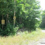
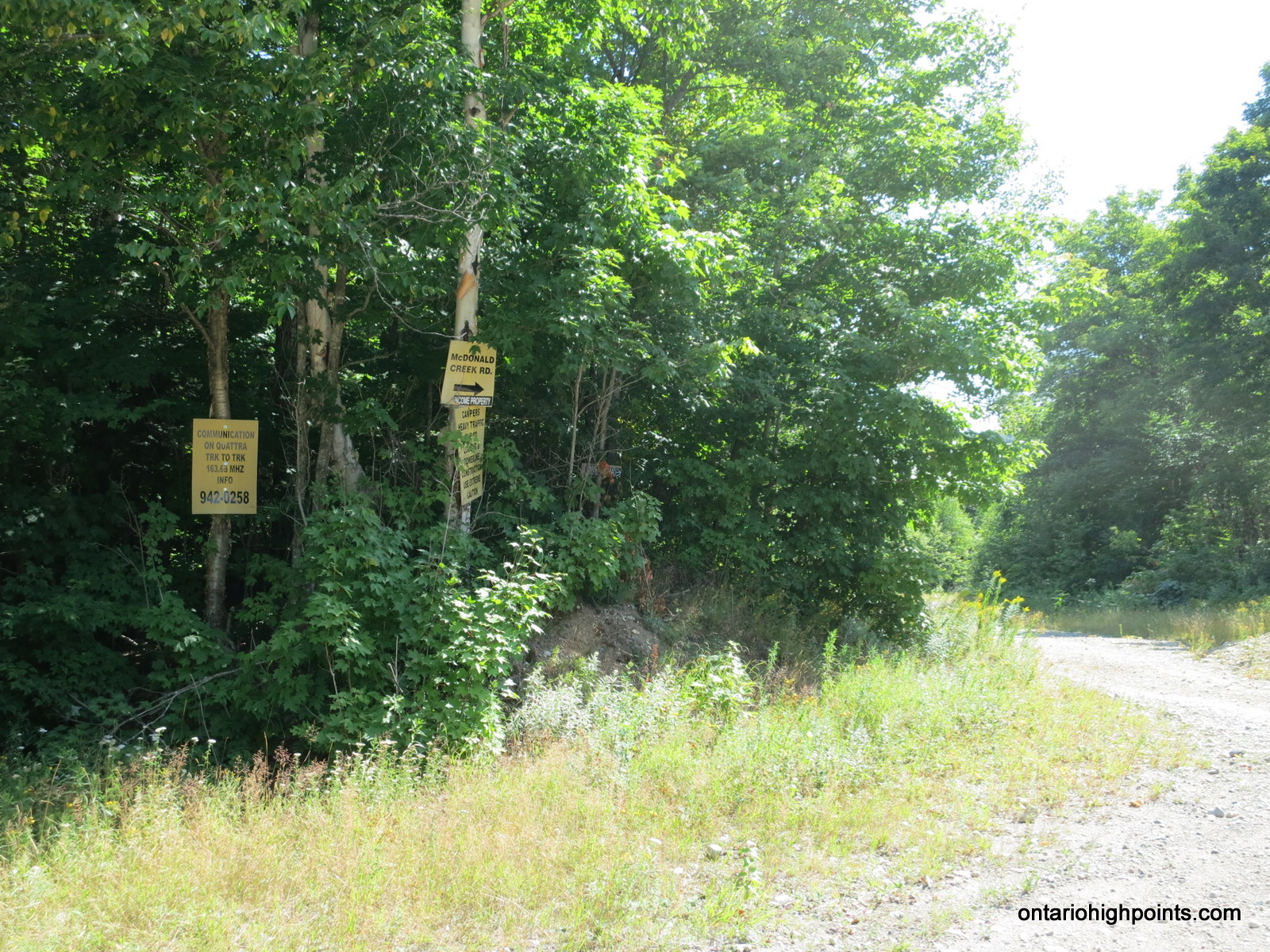
- McDonald Creek Road signage
-
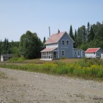
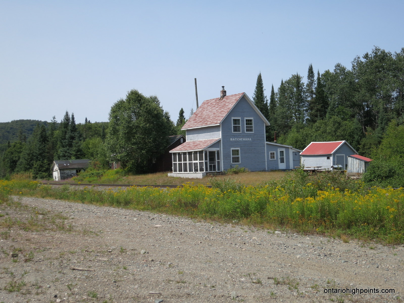
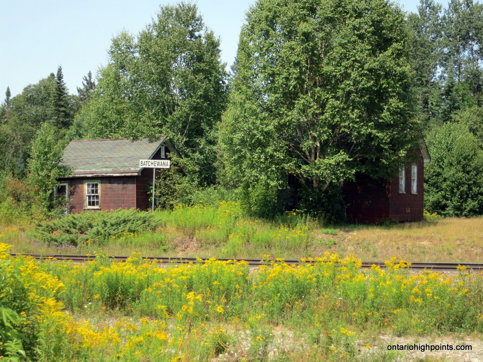
- Batchawana section house
-
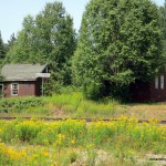
- Buildings at Batchawana
-
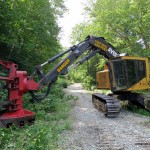
- Great Lakes Power Hydro Corridor Tree Clearer
-
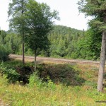
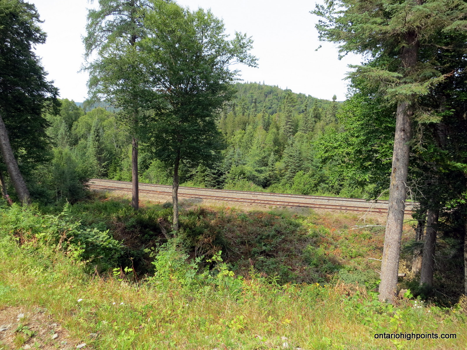
- View down to the tracks at Batchawana
-
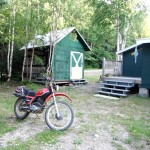
- Dan’s Honda Enduro 500
-
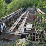
- 1st bridge across Batchawana River
-
- 2nd bridge across Batchawana River
-
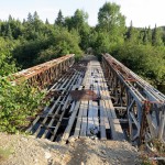
- 3rd bridge across Batchawana River
-
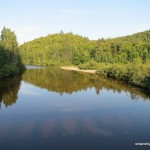
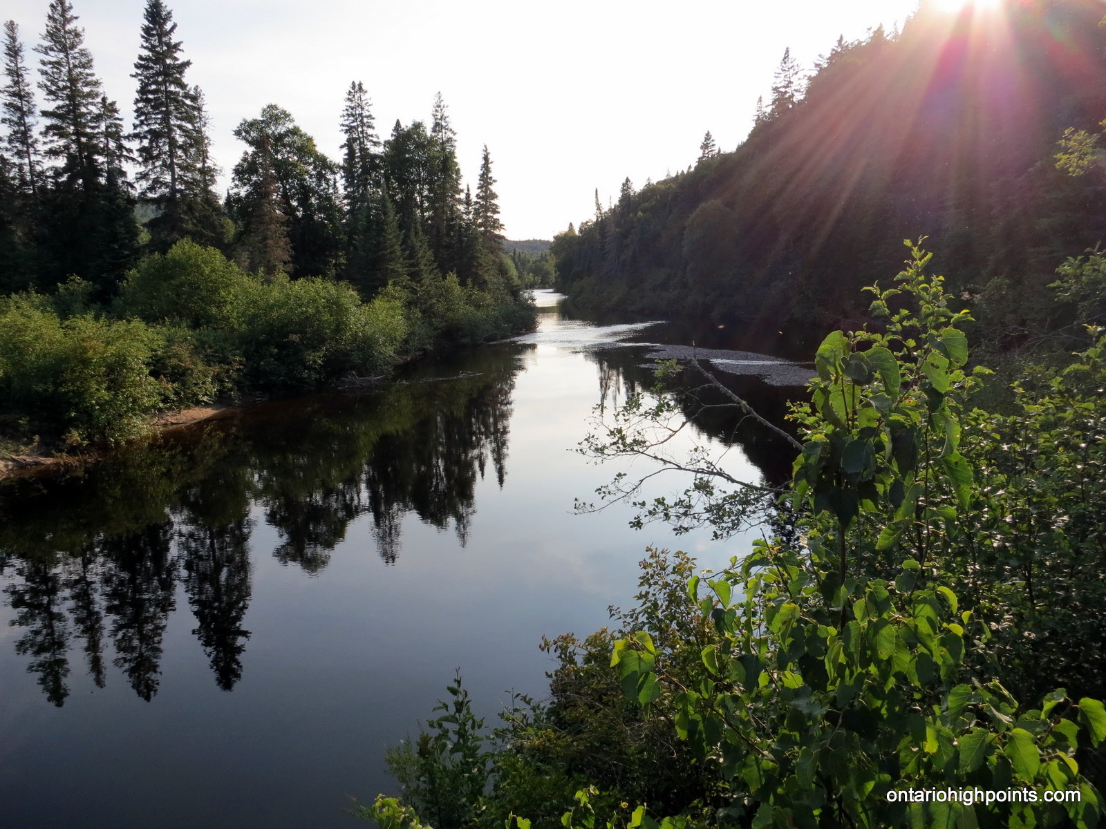
- Batchawana River at the bridge – upstream
-
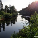
- Batchawana River at the bridge – downstream
-
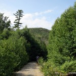
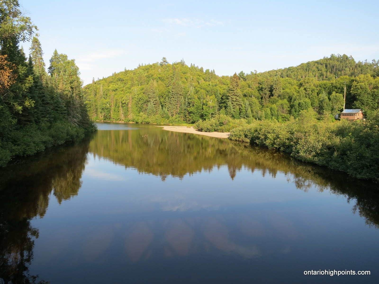
- First view of Grey Owl Peak
-
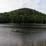
- Grey Owl Peak from pond at base
-
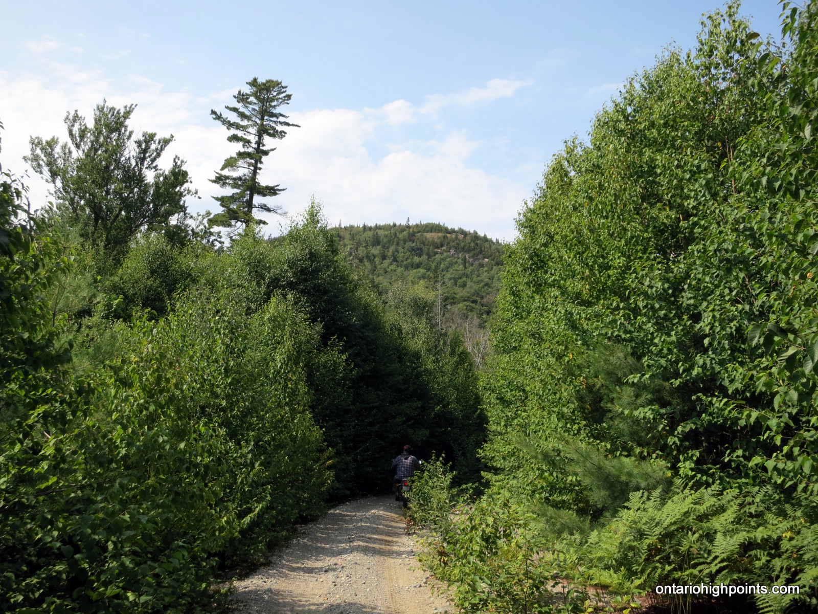
- Bushwhacking
-
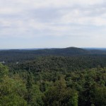
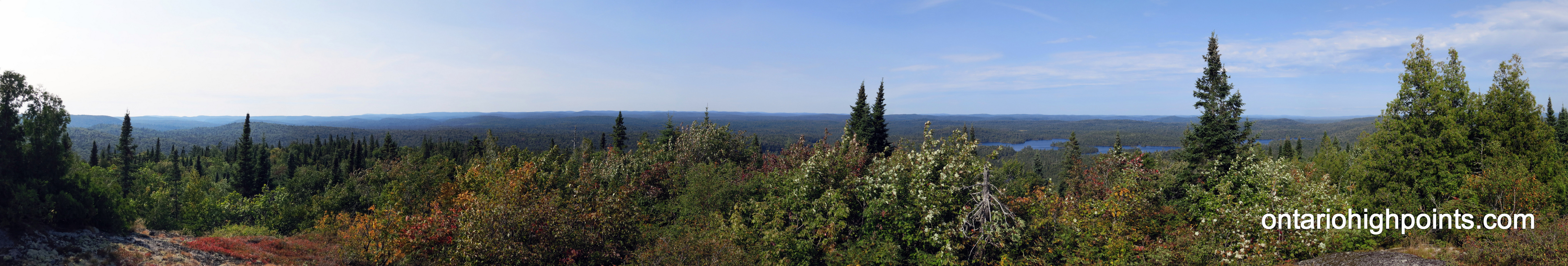
- Panoramic View South
-
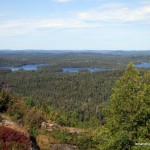
- Grey Owl Lake
-
- Pond east of Grey Owl Peak
-
- Panoramic View North
-

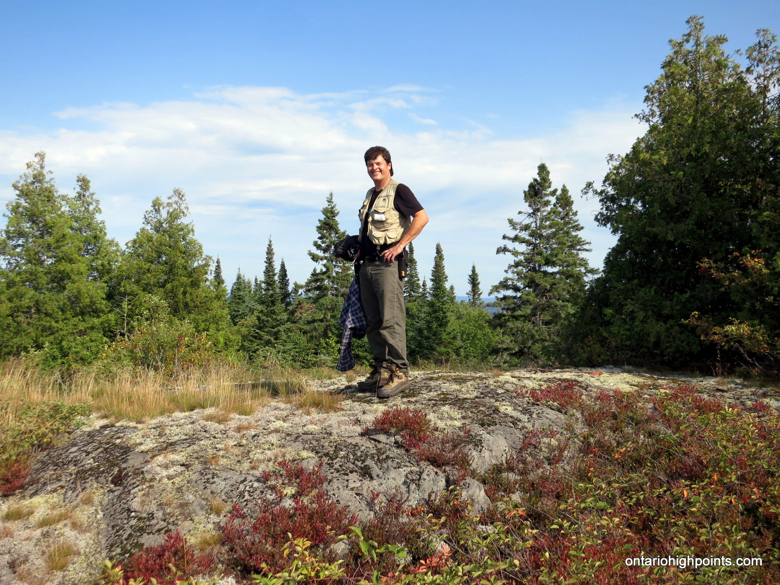
- Dan at the highest point on the summit
-
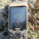
- GPS elevation of Grey Owl Peak
-
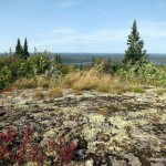
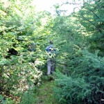
- Summit area
-

- Enjoying the views from the summit
-
- Panoramic View West – Alvin Lake Peak
-
- Alvin Lake Peak
-
- Kwagama Hill in the background
-
- Ogidaki Mt. in the distance
-
- Griffin Lake Peak & Batchawana Mt.
Videos: