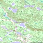
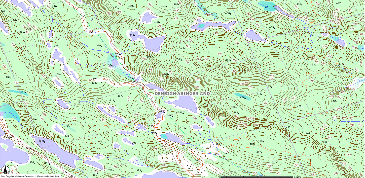
Moger Pond Peak
Posted by Derek on Aug 18, 2010
Height: 1644 feet / 501 meters
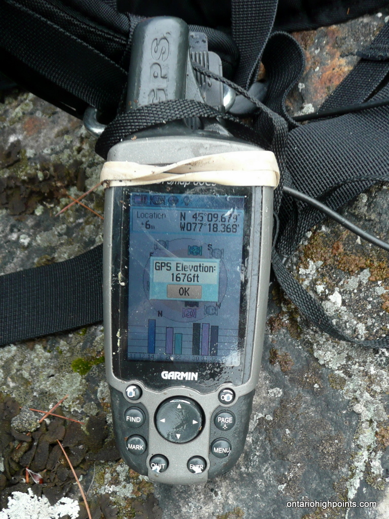
GPS recorded height: 1676 feet / 511 meters
Lat/Lon: N45.1613 W77.3062
Date Summited: July 13, 2010
Directions / Trip Summary:
Moger Pond Peak is the highest point in Lennox and Addington county, just outside of the community of Denbigh.
From Bancroft, travel 55.8 km along Highway 28. Before reaching Denbigh, turn left onto Addington Road which travels north for 500 meters until reaching a dead end / turn around. Park on the northeast side of the turn around and avoid blocking any driveways.
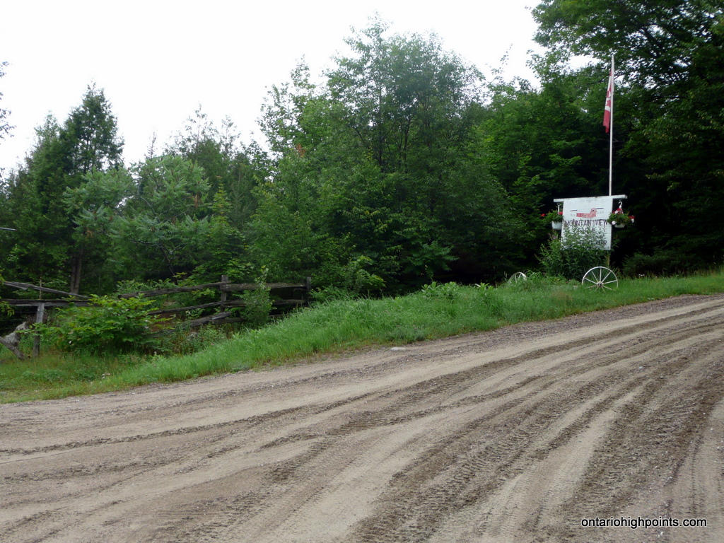
A gated dirt road continues north, just to the left of the Mountain View Farm sign. As the road is on private property — Mountain View Farm, it’s a good idea to ask the owner for permission to cross his land. (As we were departing, we ran into the owner who was curious to our intentions in the area. We explained we were hiking to the highest point in the county just beyond his farm and he said he no problem with us using the road as long as we closed the gates behind us to keep the cows from getting out.)
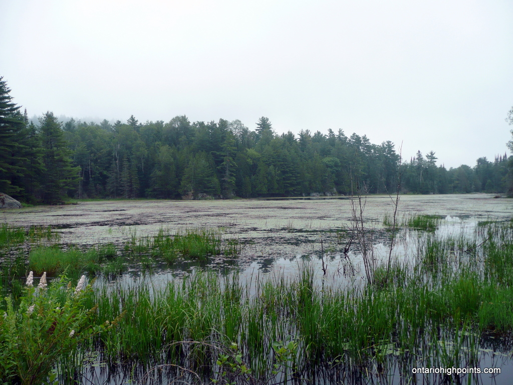
Past the gate, the dirt road descends towards a lake. The road near the lake may be flooded out and it would be good idea to bring some kind of river shoes or sandals for the water crossings during the trip.
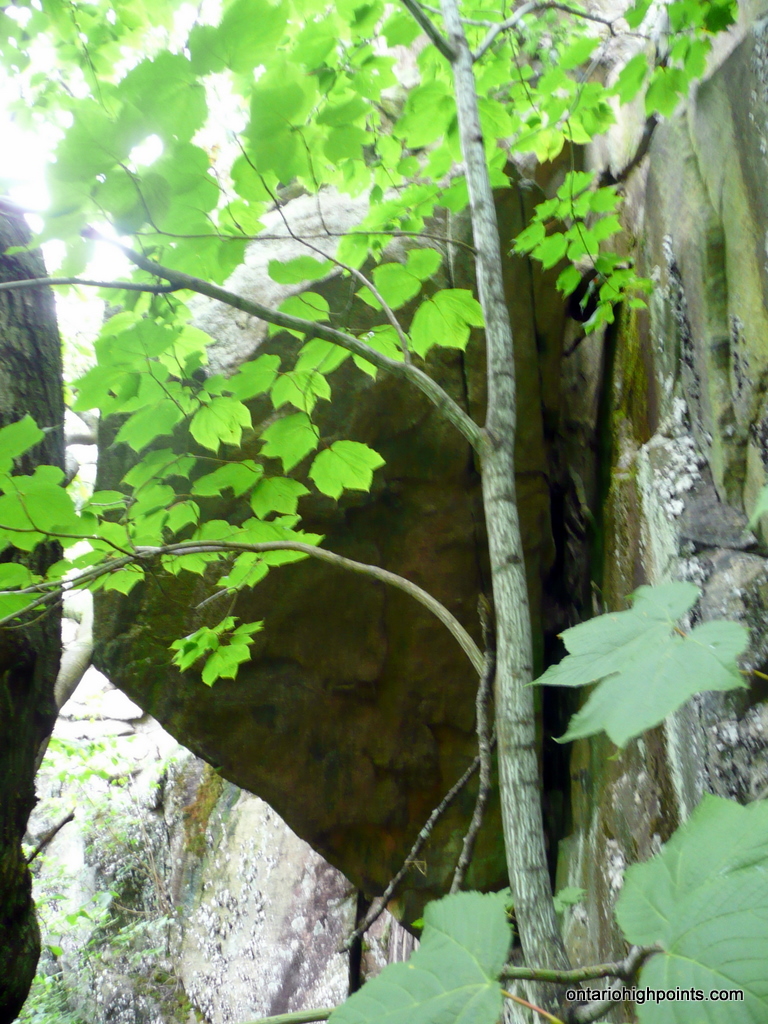
Beyond the flooded trail, you will reach the start of the bushwhack at N45.15720 W77.30915 which is 1.1 km from Addington Road. The bushwhack heads right (east) from the ATV trail through thin underbrush and easily crosses the small creek. Skirting the northern end of a lake, bushwhack north up a notch up the bluff. The climb steepens and the top of is crowned by rocky cliffs, which could be difficult to scramble up. By climbing up through the notch, the scramble is avoided. Near the top of the bluff, you will pass by an interesting rock with ‘appears‘ to be held up by a tree. (From our vantage point the rock was positioned precariously and we decided not to investigate it further).
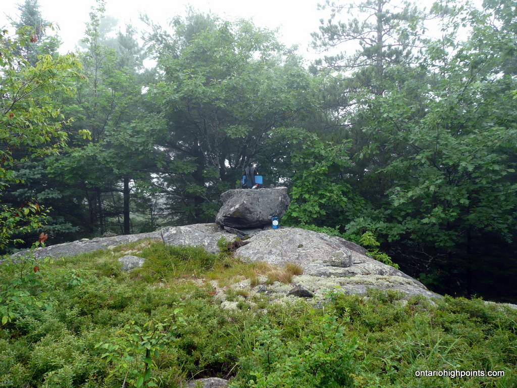
Once reaching the top of the cliffs, it is a short bushwhack to the summit. The upper elevations of the peak are littered with small rock/moss/low bush covered clearings. The actual high point is on top of a small erratic boulder in the highest of the small clearings. The entire trek one way from car to summit is 1.8 km: 1.1 km of trail hiking and 700 meters of bushwhacking.
View a larger version of the map
Gallery:
-
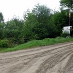
- Mountain View Farm
-
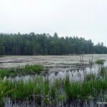
- Unnamed lake near the start of the hike
-
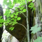
- “Death Rock”
-
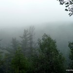
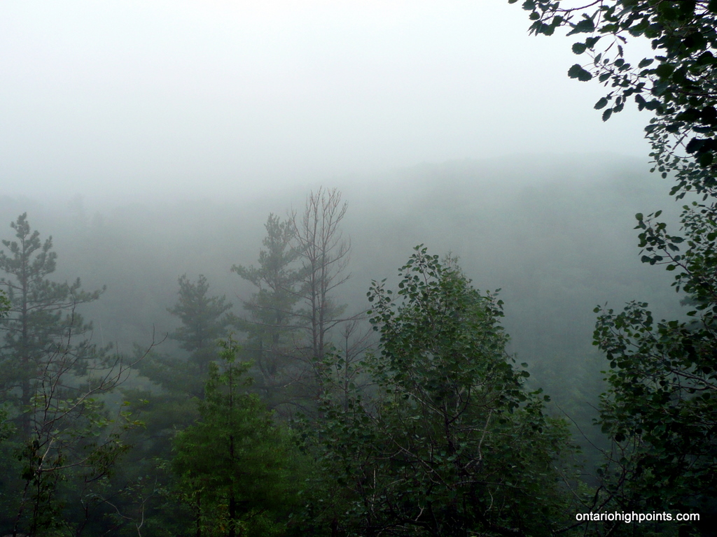
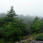
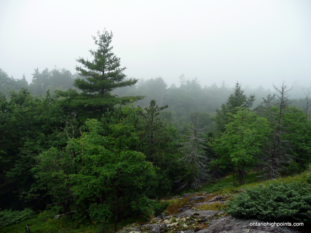
- Fog obscuring any possible views
-
- Looking towards the south ridge
-
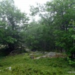
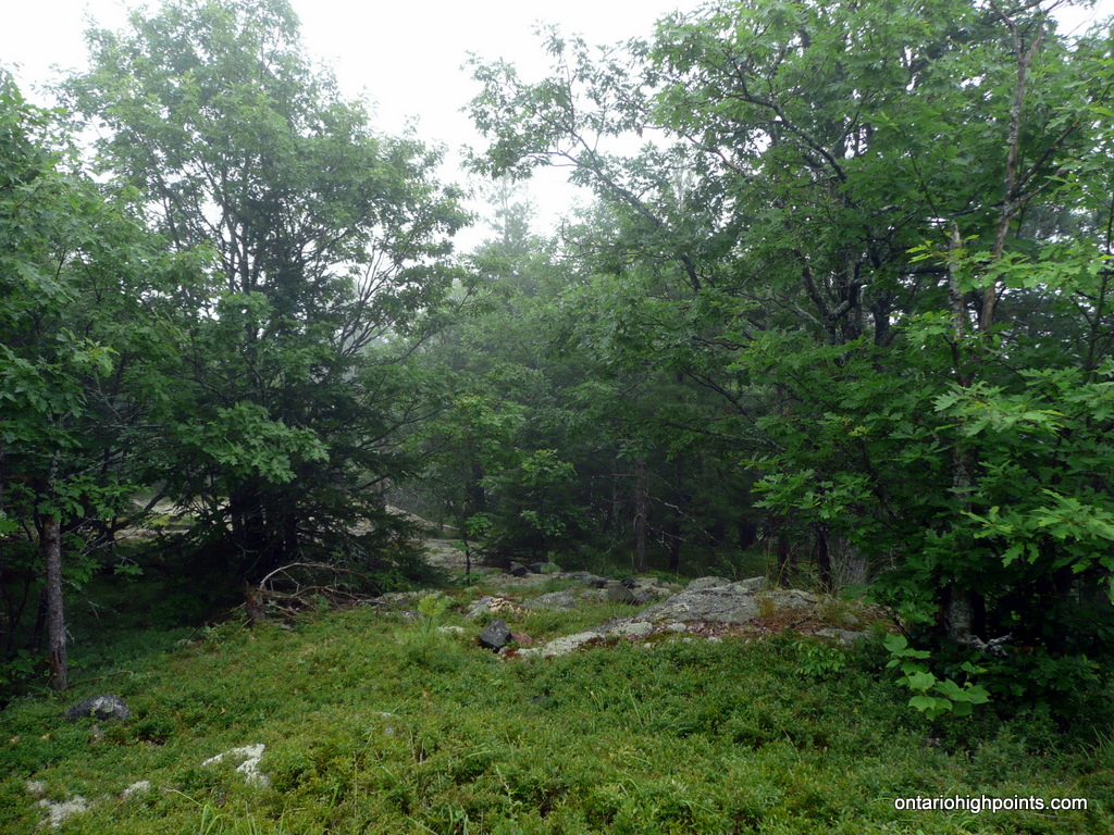
- Summit clearing
-
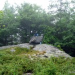
- Summit marked by an erratic
-
- GPS elevation
-
- Moger Pond Peak (OBM)
Moger Pond Peak GPS Track (.gpx format)
Related Links:
Moger Pond Peak on peakbagger.com
How does an erratic get to the summit? Great website and pictures I definitely want to check this one out. Is there any way around the private property or should we walk to the owners front door for permission to cross his land?
Although I don’t think erratic is exactly the correct term — the rock is of similar composition as the rock in the area, I assume the placement is glacial in origin, dropped by the retreating glaciers of the last ice age. I guess the other possibility is someone put it there, but it’s a pretty big and heavy rock 😉
There might be another way in from HW 28, near Little Yirkie Lake, but I didn’t explore other routes. Any other routes probably cross private land as well.