Queen Elizabeth II Wildlands Provincial Park High Point
Posted by Derek on Oct 1, 2012
aka. Anson Mountain
Height: 1204 feet / 367 meters
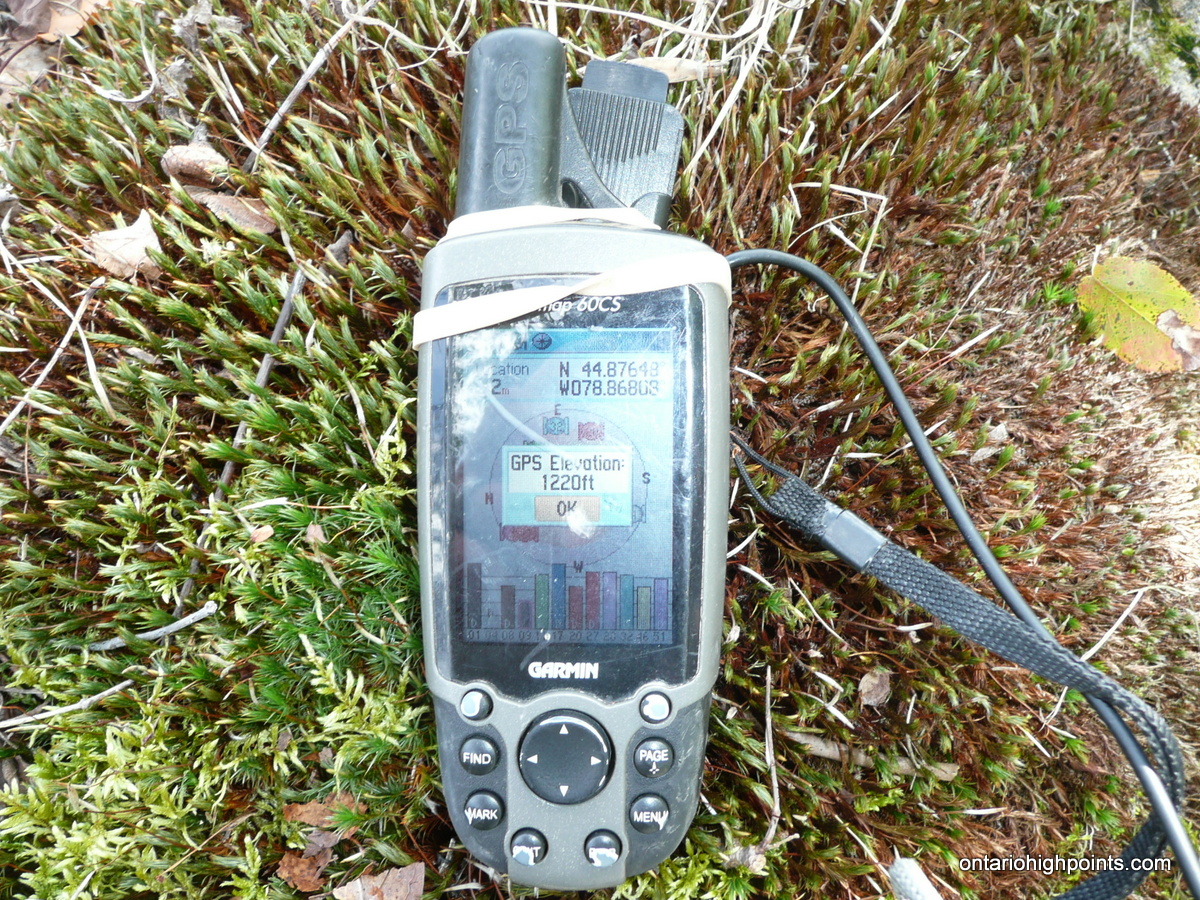
GPS recorded height: 1220 feet / 372 meters
Lat/Lon: N44.87645 W78.86806
Date Summited: September 28, 2012
Overview:
From wikipedia:
The Queen Elizabeth II Wildlands Provincial Park is a provincial park in south-central Ontario, between Gravenhurst and Minden. The park is 33,505 hectares in size and is one of the largest and least developed natural areas south of Algonquin Park. The park has a low rolling topography which is characterized by numerous rock ridges, including scenic cliffs and gorges, separating dozens of small lakes, rivers and streams.
This vast area was once covered with forest and deeper soils prior to the logging era. Following logging, devastating forest fires swept through the area burning off the shallow organic soils leading to severe soil erosion and barren rock surfaces. Many lakes were filled, or partly filled with sediment, and have become marshes. For many years, this region was known as ‘The Burnt Lands’.
Directions:
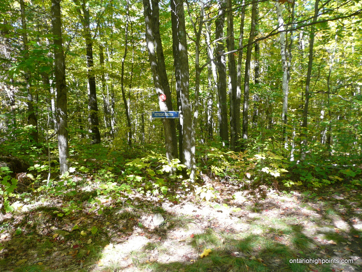
Take Highway 35 North from the 401 for 110 km to Moore Falls. In Moore Falls, turn left onto Deep Bay Road for 6.4 km and then turn left onto Devil’s Lake Road and proceed to the parking and boat launch area. An access trail to the Ganaraska Trail (Wilderness Section) begins on Hull Lane just east of the parking area. The rugged trail winds it’s way over rough rock ridges, and traverses along ponds and beaver dams and for 5.6 km where it ends at Petticoat Junction.
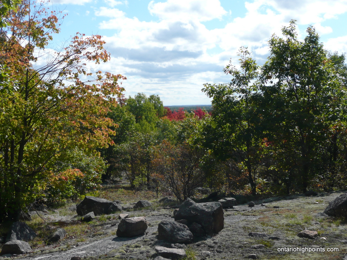
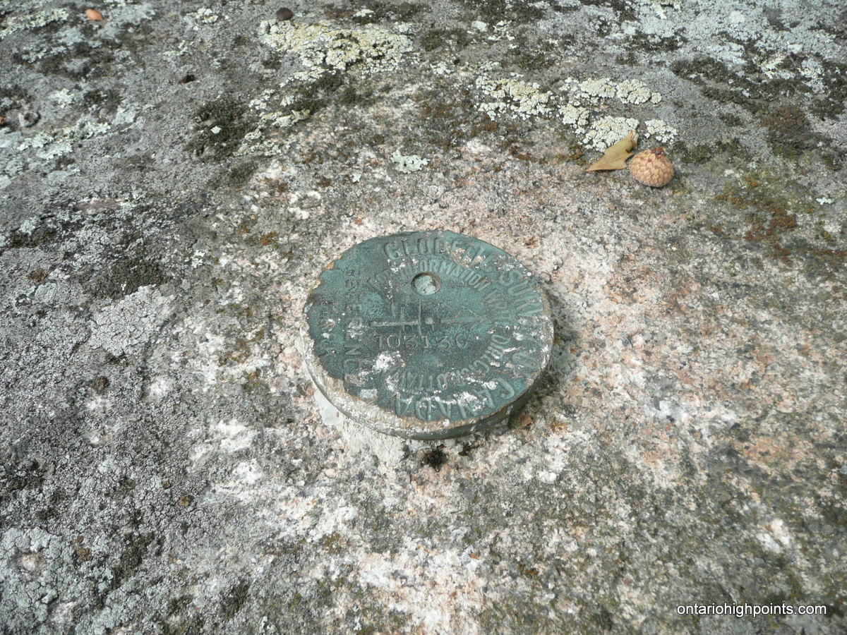
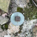
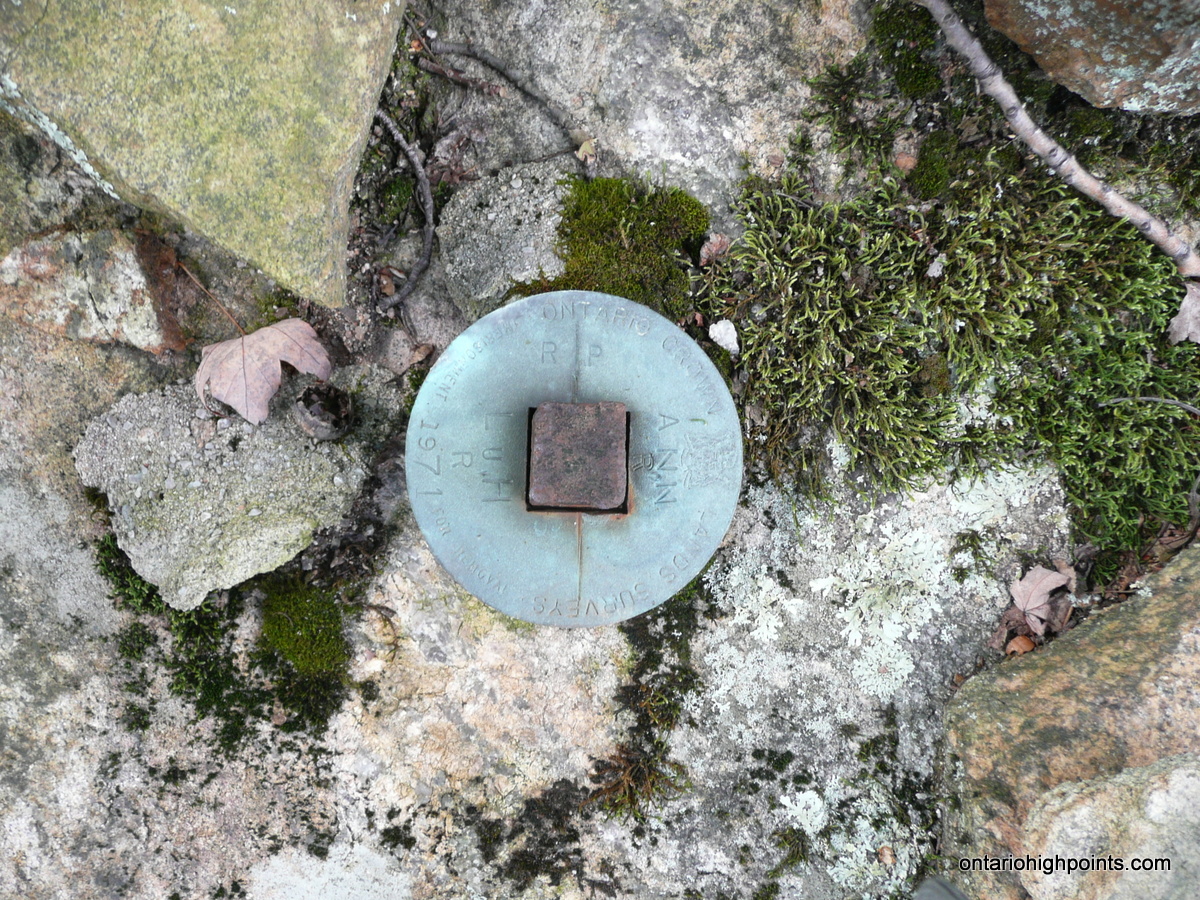
Proceed north (right) at Petticoat Junction and continue along the main Ganaraska trail which follows a snowmobile / ATV trail. The trail forks at 1.2 km from Petticoat Junction; the Ganaraska trail branches south (left) here. Keep right at the fork and follow the snowmobile / ATV road north for 1 km to the Queen Elizabeth II Wildlands Provincial Park High Point. The highest point is located on the left side of the trail and is atop a small hill just a few meters north of a large rock with an embedded survey marker. A second survey marker lies 50 meters to the northeast. The summit area is thinly forested and affords good views to the east and west.
View a larger version of the map
Trip Summary:
00.0 km – Departed Devil’s Lake boat launch parking along Ganaraska Trail (10:25 AM)
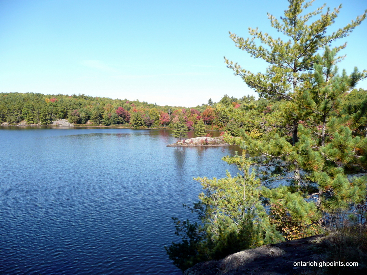
02.9 km – Arrived at Sheldon Lake lookout (11:10 AM)
05.6 km – Arrived at Petticoat Junction (11:55 AM)
06.8 km – Turn left off of Ganaraska Trail onto snowmobile / ATV trail (12:20 PM)
07.8 km – Arrived at summit of Queen Elizabeth II Wildlands Provincial Park High Point (12:35 PM)
Gallery
-
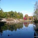
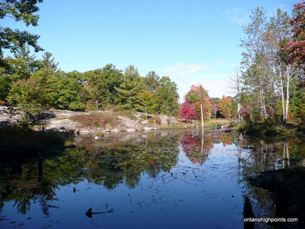
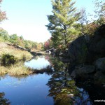
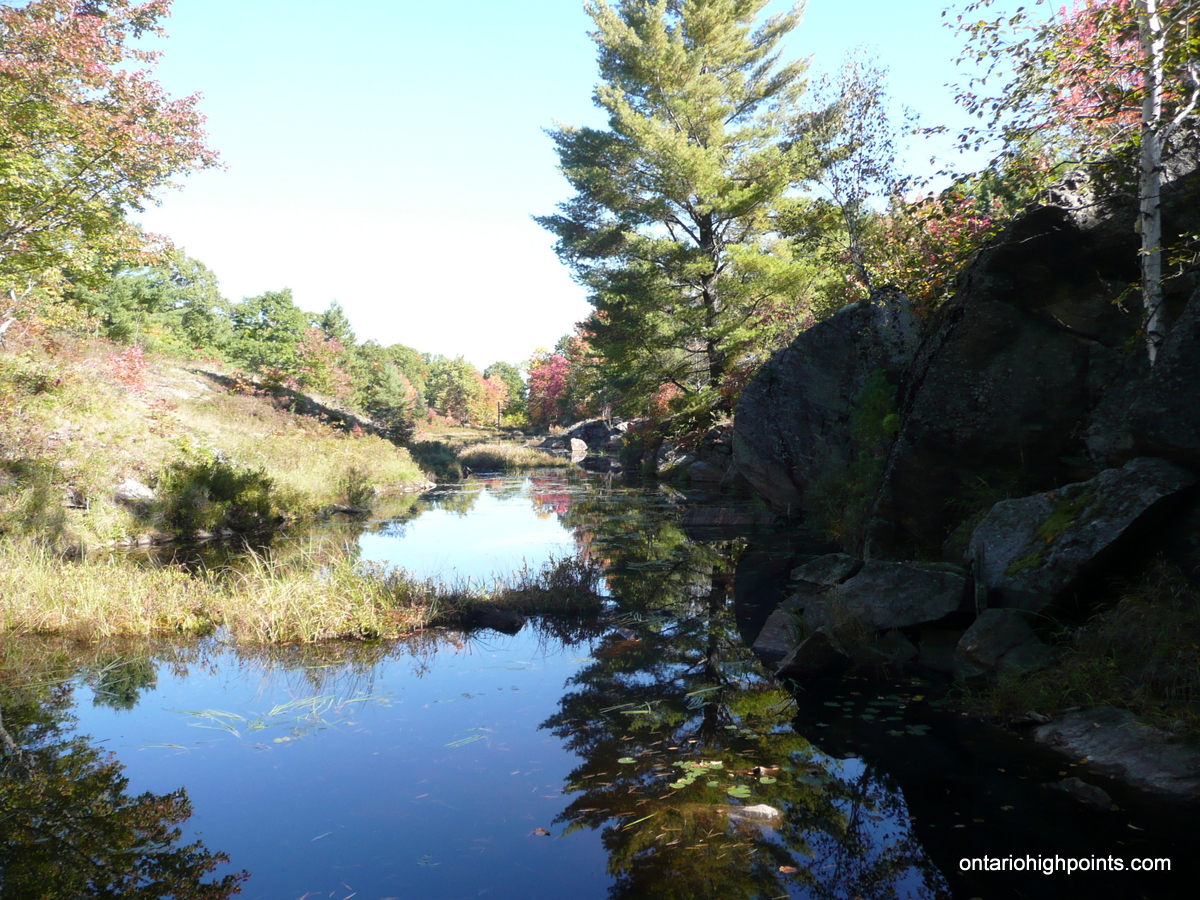
- Beaver Pond
-
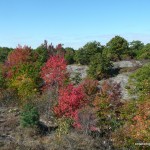
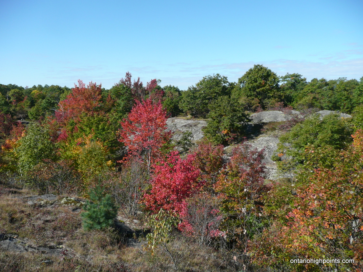
- Fall Colours
-
- Steep ravine
-
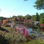
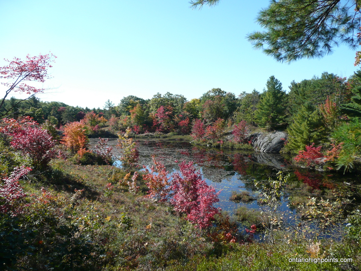
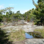
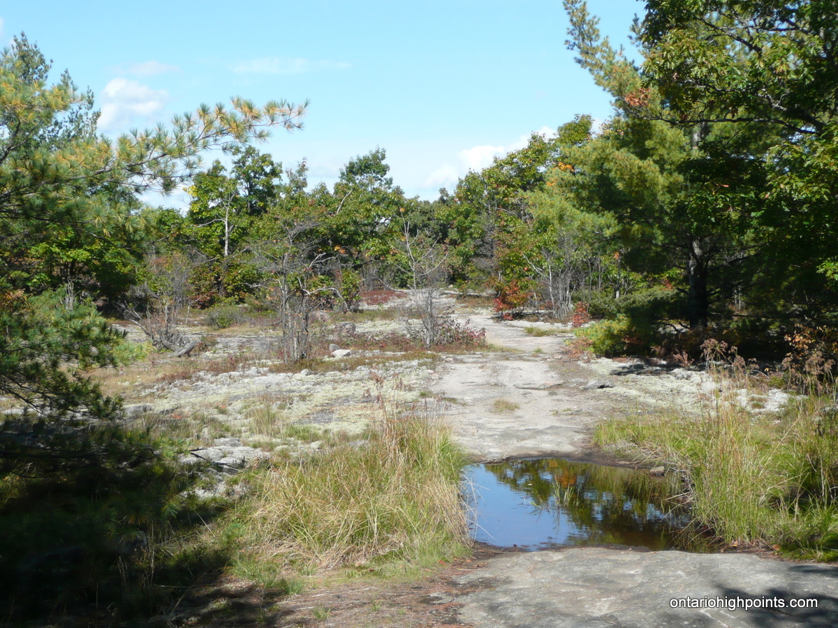
- Pond
-
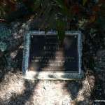
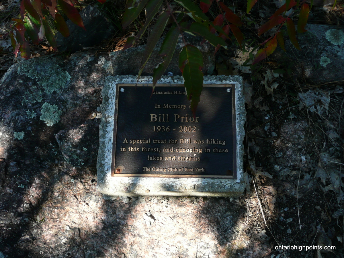
- Memorial to Bill Prior
-
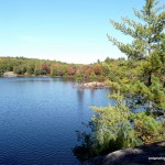
- Sheldon Lake
-
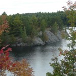
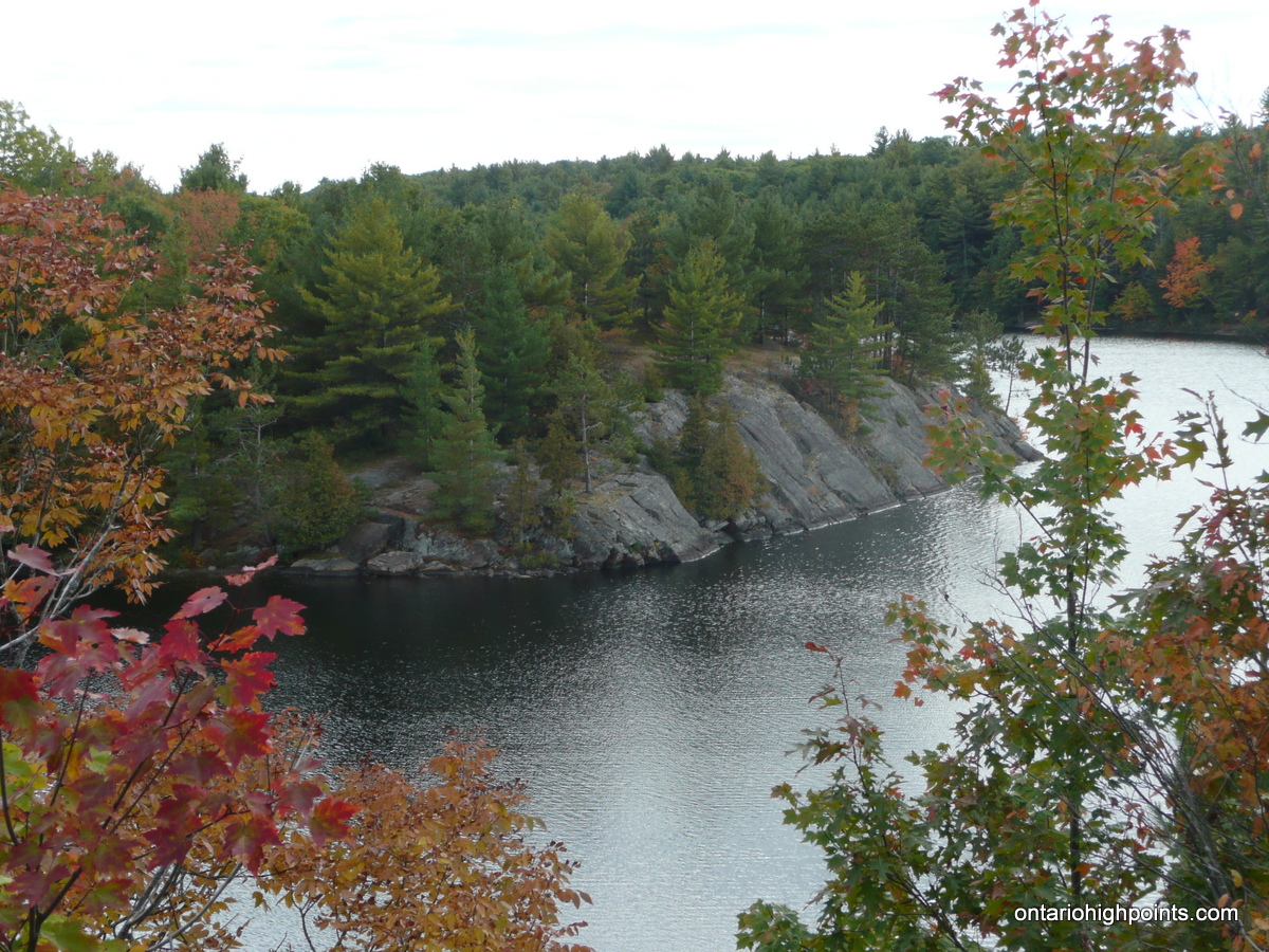
- Cliffs along Sheldon Lake
-
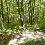
- Petticoat Junction
-
- ATV Trail
-
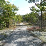
- Trail along exposed rock outcrop

-
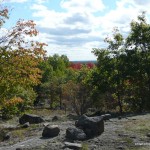
- On route to the peak
-
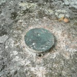
- Survey Marker
-
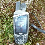
- GPS Elevation
-
- 2nd Survey Marker
-
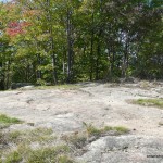
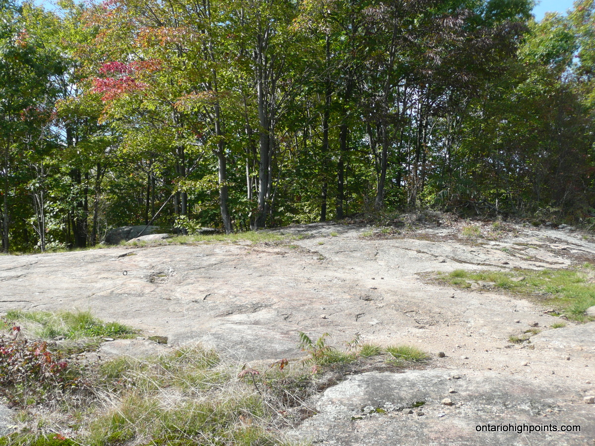
- Queen Elizabeth II Wildlands Provincial Park High Point
-
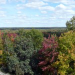
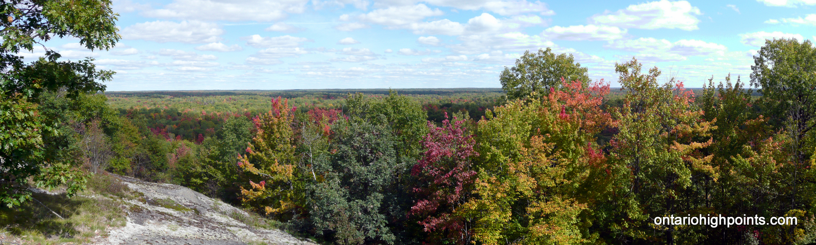
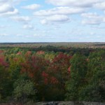
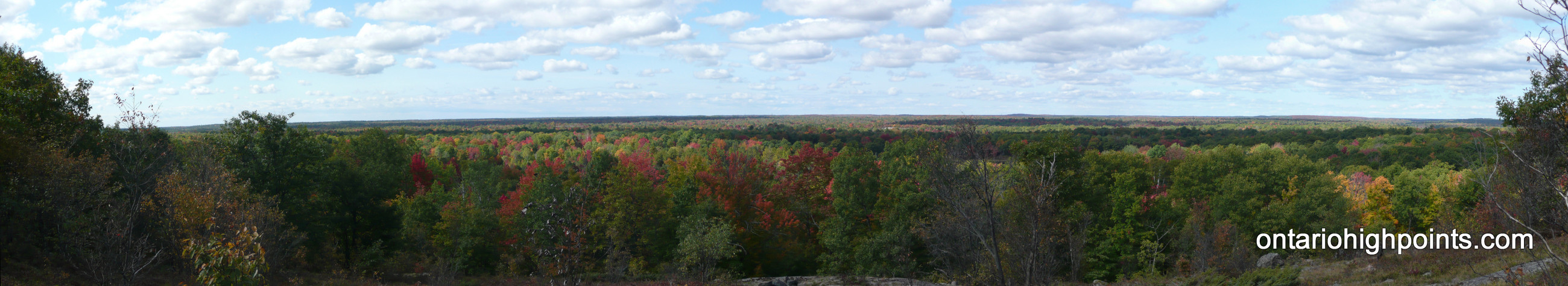
- View East from the QEIIWPP High Point (Panoramic)
-
- View West from the QEIIWPP High Point (Panoramic)
GPS Track:
Queen Elizabeth II Wildlands Provincial Park High Point GPS Track (.gpx format)
Related Links:
Scrabble Mountain
Ganaraska Trail Wilderness Section
Ganaraska Hiking Trail Association
This is a great site and idea. I’ve done extensive hiking in ADK and AMC areas in NY and its about time we have one for ontario.
Agree with the comment from James. Thanks Derek.