Batchawana Mt.
Posted by Derek on Sep 1, 2009

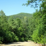
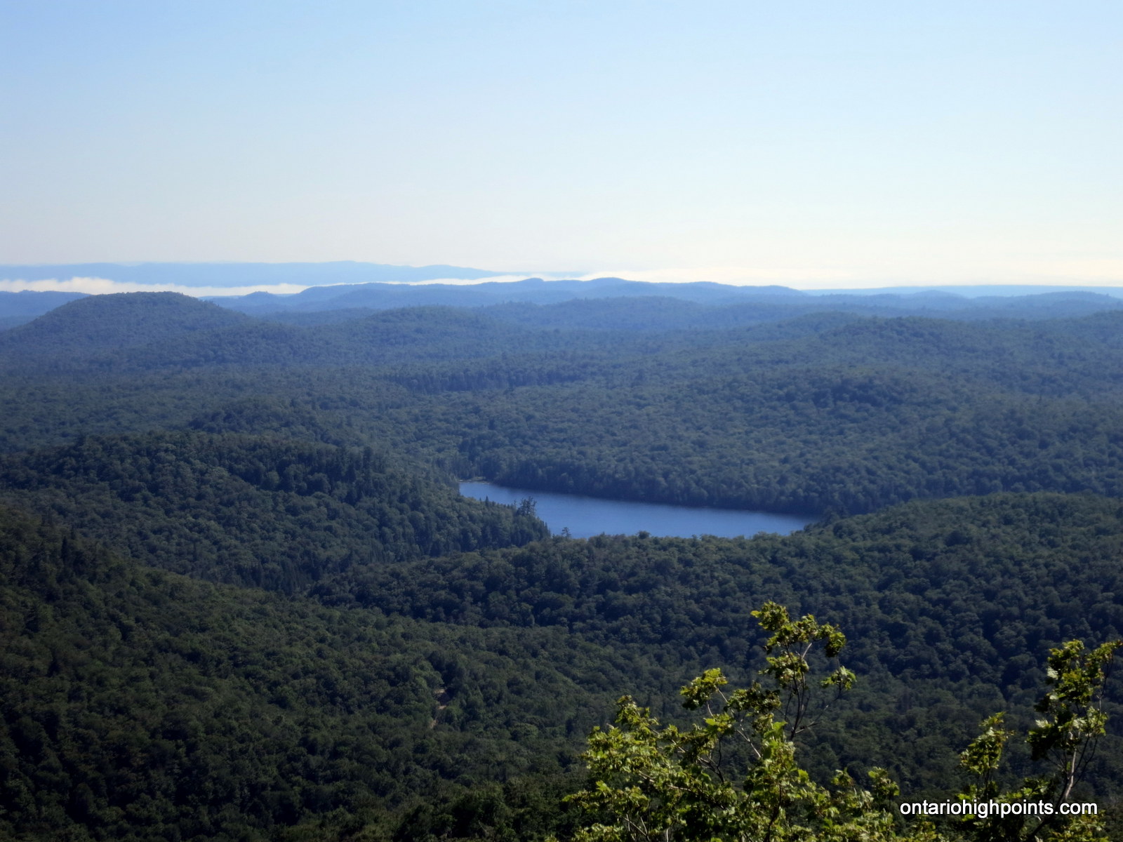
Batchewana Mt. from Griffin Lake Peak
Rank: NA (below 2100 feet)
Height: 2054 feet / 626 m
GPS recorded height: 2063 feet / 629 m
Lat/Lon: N47 03.907 W84 24.652
Date Summited: August 19th, 2009
Updated: November 7, 2015
Overview:
Batchawana Mountain, often confused with it’s higher, north-eastern neighbour, Griffin Lake Peak, is a partially open summit in the Algoma highlands, north of Sault Ste. Marie. Given it’s name, due to the close proximity with the Batchawana River (which empties into Batchawana Bay on Lake Superior), Batchawana or Badjiwanung is the Ojibwe term for ‘water that bubbles up’. Although there are no maintained trails to the summit, it is a short bushwhack to the top from a nearby overgrown road. The peak’s close proximity to an access road, it’s notable vertical rise and outstanding views to the north, south, and west make this mountain a rewarding day hike. Batchawana Mt. could be combined with a hike up Griffin Lake Peak for a full day’s outing.
Directions:
Following the same directions to Griffin Lake Peak, take Highway 17 Northbound from Sault Ste. Marie until the turnoff onto Mile 38 Road. Follow this gravel road for 20 km to the Ministry of Natural Resources Acid Rain Monitoring Station. 1 km past the Monitoring Station is the right fork to Griffin Lake Peak. For the Batchawana Mt. jump off point, take the left fork and continue on the narrow gravel road for another 3.3 km until reaching the Picnic Shelter. Park here.
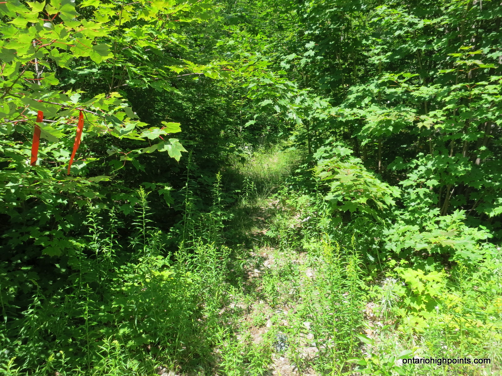
The hike up Batchawana Mt. begins on an overgrown two-track road that ascends the steep ridge behind the picnic shelter. Follow this road for about 550 meters until it reaches a culvert bridge over a small stream. From here, find a overgrown bush/herd path on the left and begin the steep 1 km northerly hike up the path. About 300 meters from the turnoff into the bush, the quad path begins to head west and a smaller trail forks to the right. Follow this right trail which turns into a steep bushwhack up the ridge through thick brush which eventually gives way to the juniper matted summit.
00.0 km – Turn north onto Mile 38 Road from Highway 17
06.8 km – Turn Left at the fork in the road
19.7 km – Turkey Lakes Research Station / acid rain monitoring station
20.7 km – Keep left at the fork in the road
24.3 km – Park at the picnic shelter. The 2-track road climbs hill behind.
24.8 km – Follows the quad path into the woods on the left.
25.1 km – Quad path forks, keep to the right on the smaller trail.
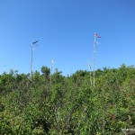
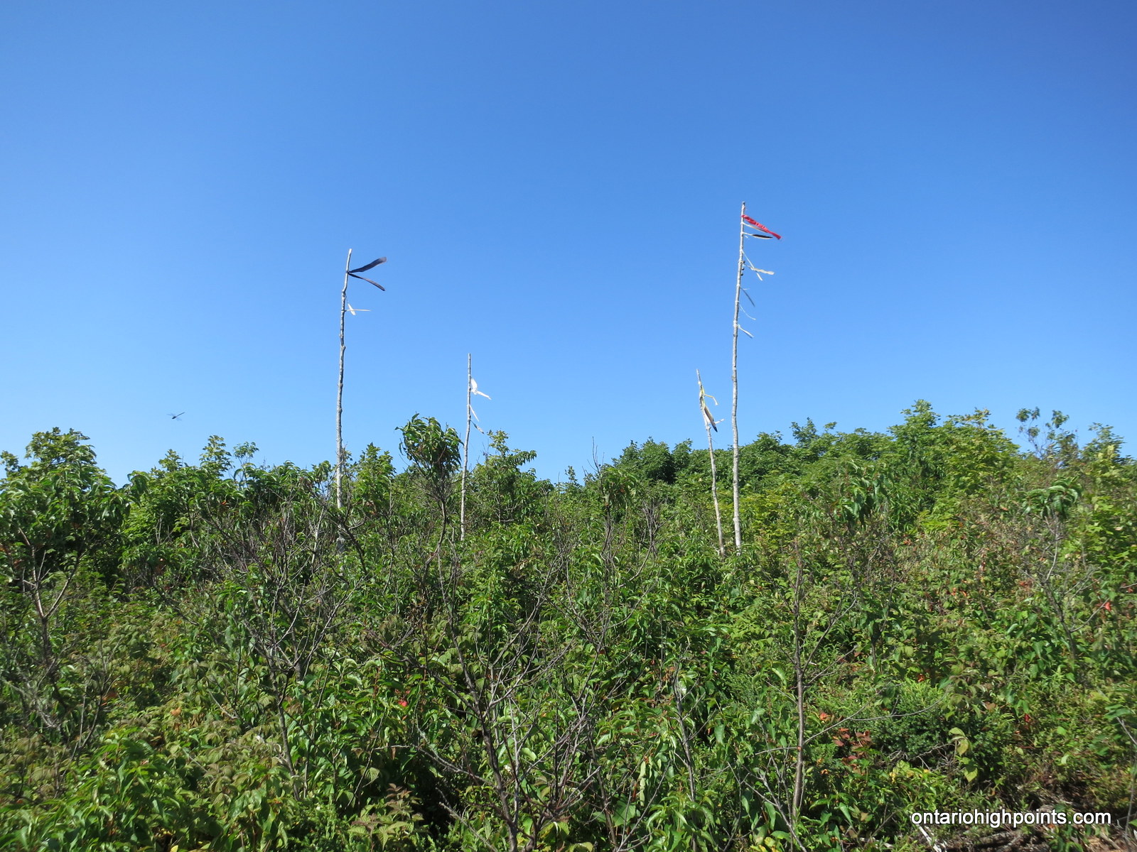
25.8 km – Summit marked by native themed markers.
View a larger version of the map
Trip Log:
Batchawana Mt was my first stop on my road trip to Thunder Bay. I left the house at 7:30 AM and after almost 9 hours of driving I made it to the turnoff to Mile 38 Road on Highway 17. My observations of Mile 38 road is that except for the last 1 km of the road to the Batchawana Mt shelter, the road progressively improves as you drive in. Surprisingly it seemed that the first 1 km of the road was the worst section.

Mile 38 Road caution sign

Turkey Lakes Research Station

Turkey Lakes Watershed map
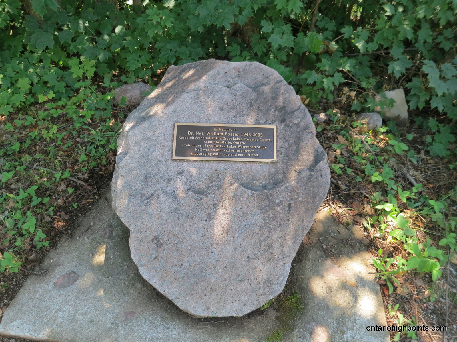
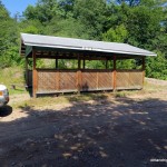
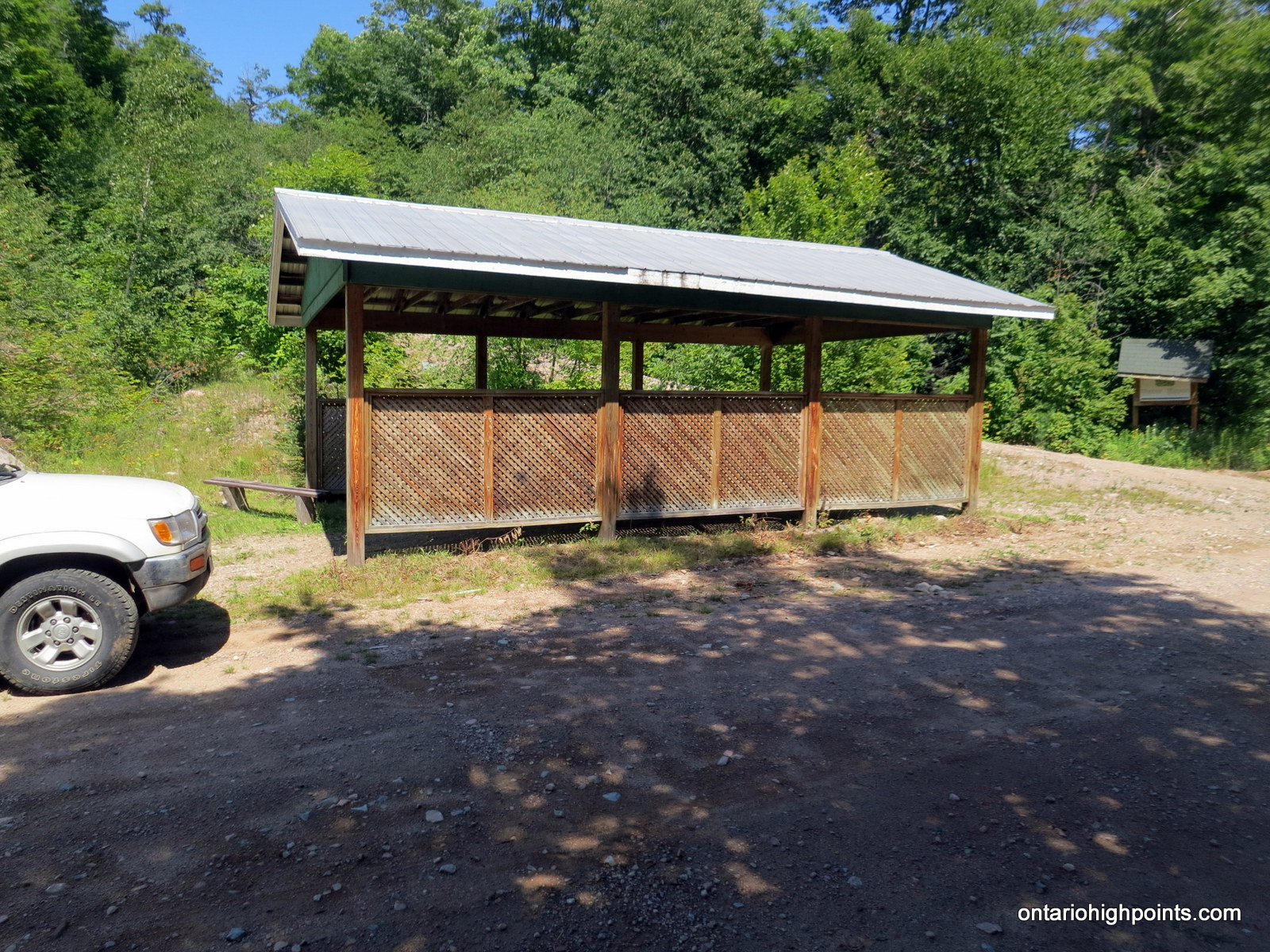
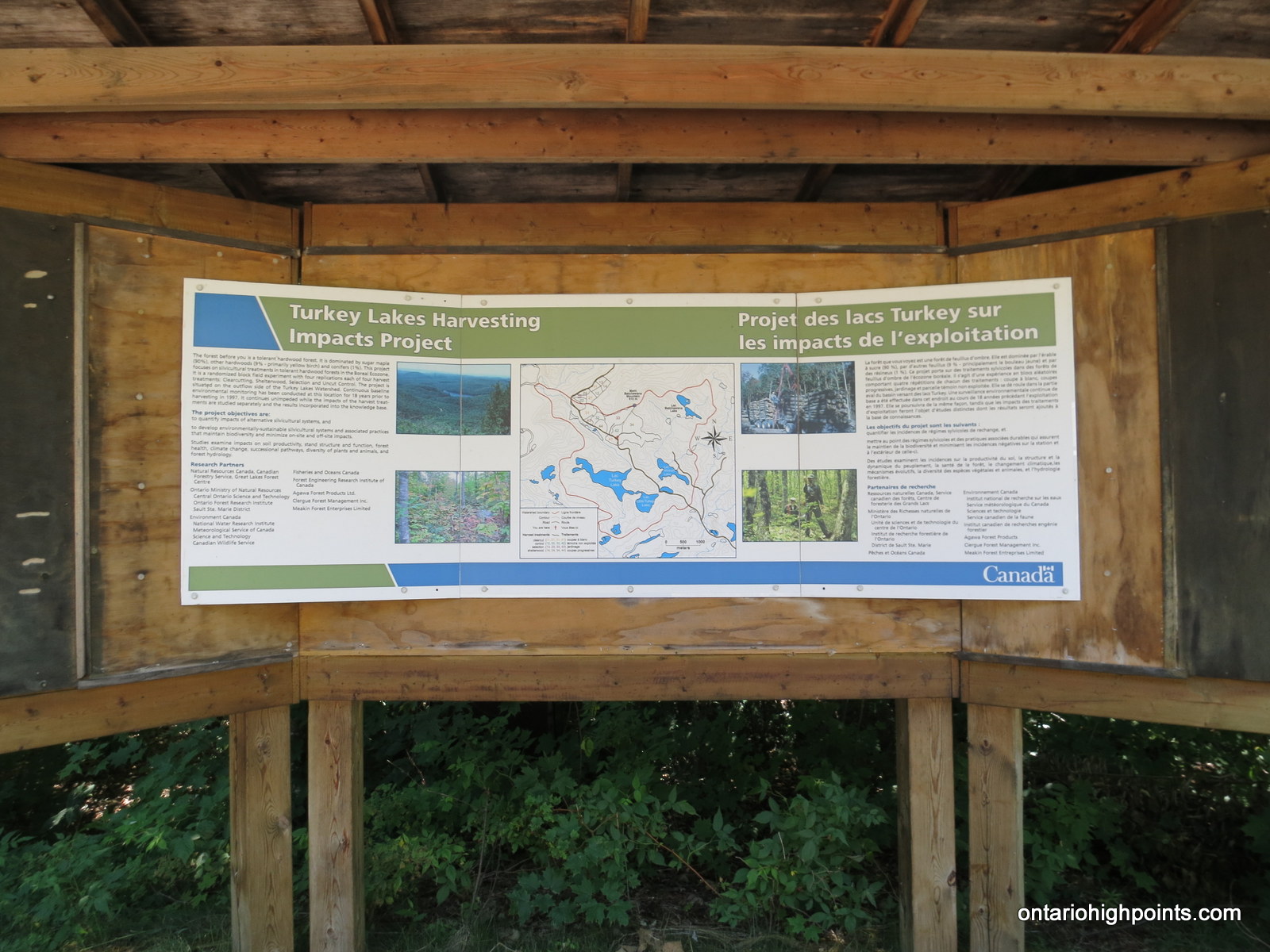
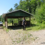
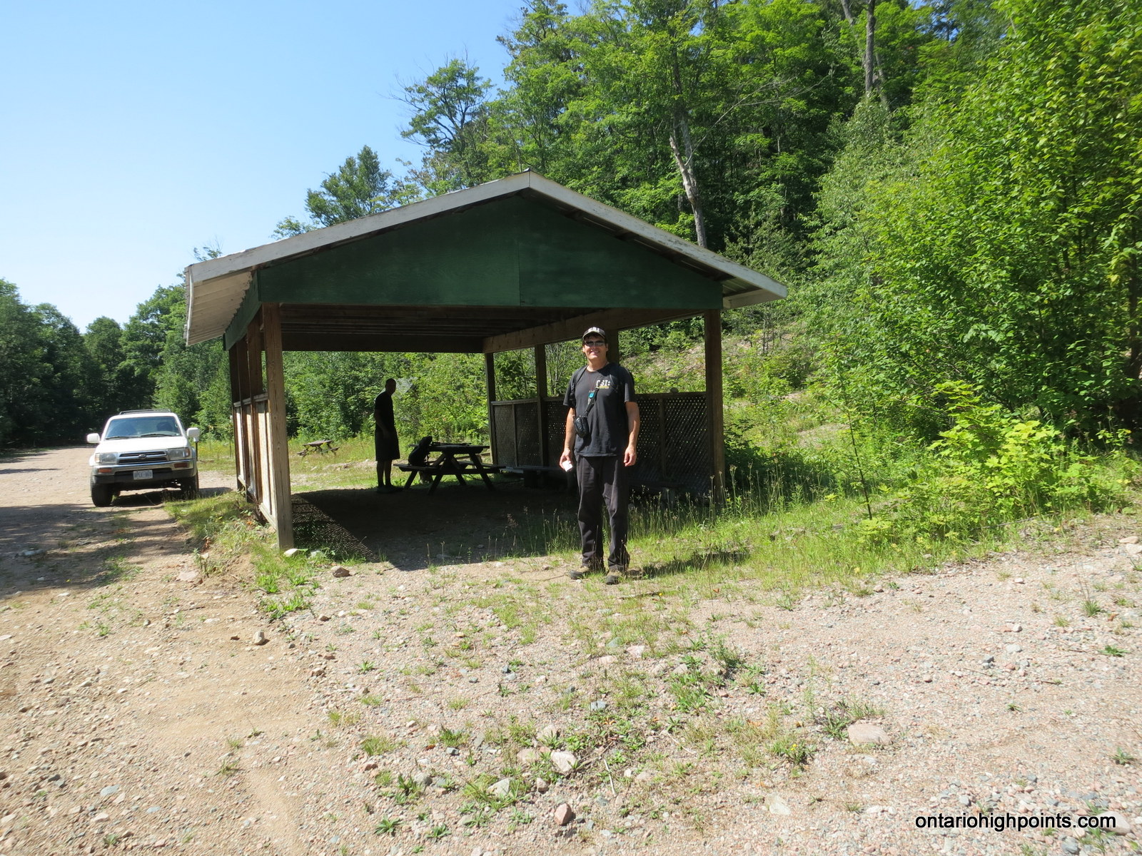
After carefully navigating the gravel roads for 45 minutes, passing the Turkey Lakes Research Station, and passing the turnoff to Griffin Lake Peak, I arrived at the Batchawana picnic shelter. The shelter is a roofed open air building and there are a few information boards as well as a memorial plaque in the vicinity.

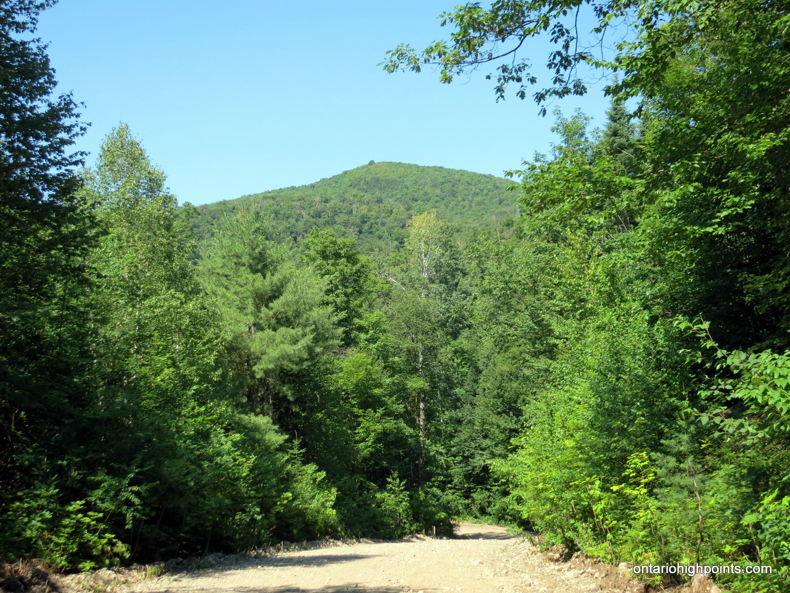
Batchawana Mt as seen from the road in

Picnic shelter and 2-track road to Batchawana Mt

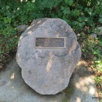
Turkey Lakes Watershed Study Memorial Plaque
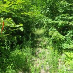
While lacing up my boots and preparing to leave several trucks and quads passed me along the road — I was definitely not alone in this section of the wilderness. I followed the 2-track road up behind the shelter which started at a steep pitch and then leveled out. Only 550 meters from the shelter I noticed a quad / bush trail heading to the left — a culvert under the 2-track road marks the spot. Even though I wasn’t quite at the height of land along the road, I decided to take a chance and follow the quad / bush trail, as it was heading straight north, the direction I need to go.

2-track road to Batchawana Mt.

Quad path diverging on the left from the 2-track road

Quad path climbing Batchawana Mt
The quad road climbed steeply at first and was fairly overgrown. Only 300 meters from the 2-track road, a smaller trail branches to the right. On my trip in I missed this trail and followed the quad path west, eventually having to bushwhack back to the east. By taking this smaller trail, you continue in the right direction and can avoid some of the bushwhacking. Eventually this path deteriorated (or I just lost it) and I had to bushwhack through the forest. I followed the apparent ridgeline for the steep climb up. The trees and underbrush aren’t thick here and I was able to make good time. Nearer to the summit the bush does thicken significantly. I was luckily wearing long sleeves to avoid getting cut by the abundant raspberry bushes.
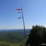
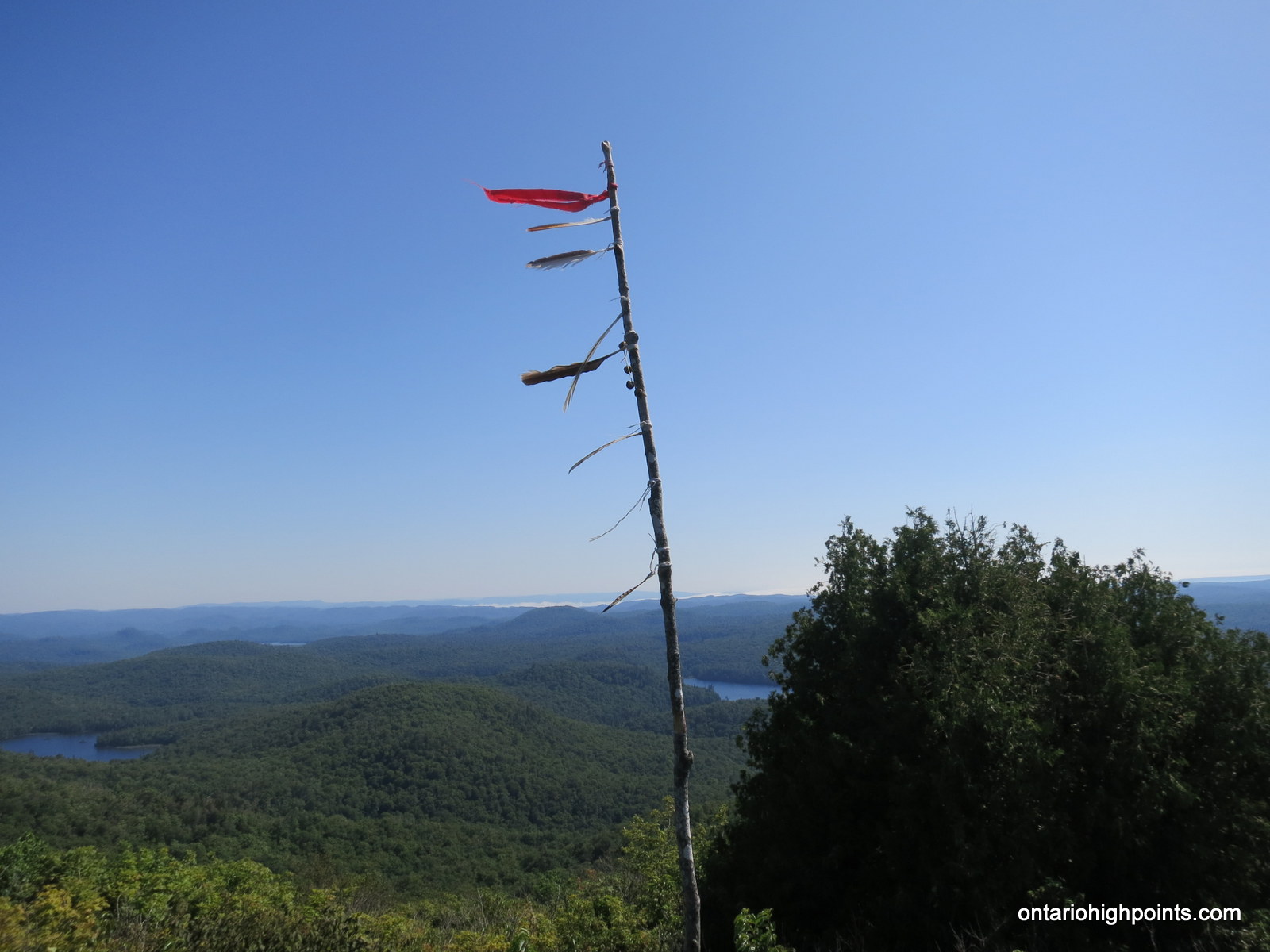
Finally after the last steep push up the mountain, the trees gave way to some ground cover juniper bushes and I was able to see the feather decorated poles which marked the summit. On my 1 hour trip up the mountain, I was forever swarmed by blackflies and mosquites and my experience on the summit was no different. I had thought a trip this late in August would avoid this nuisance, I was wrong!
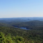
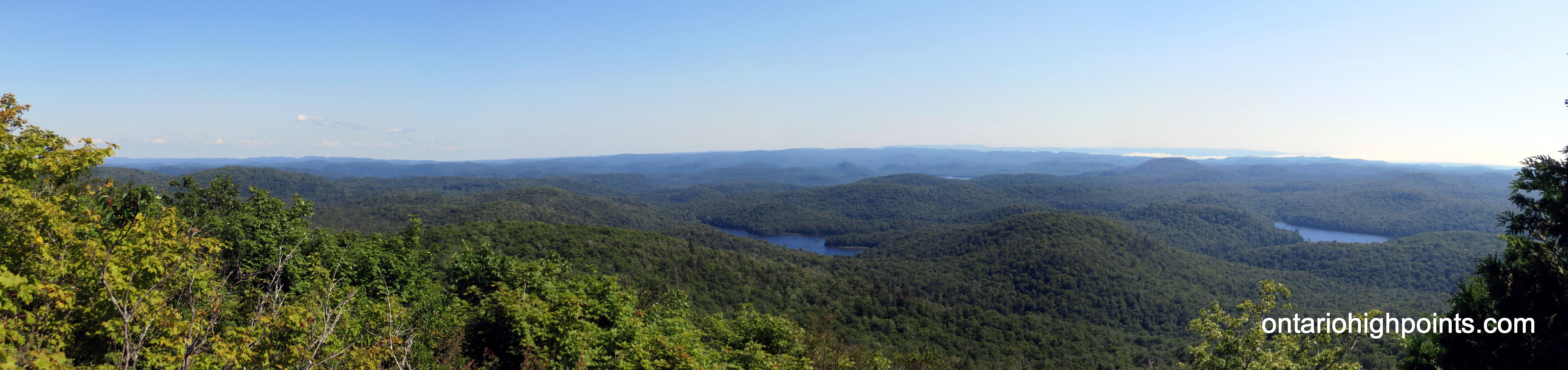
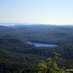
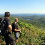
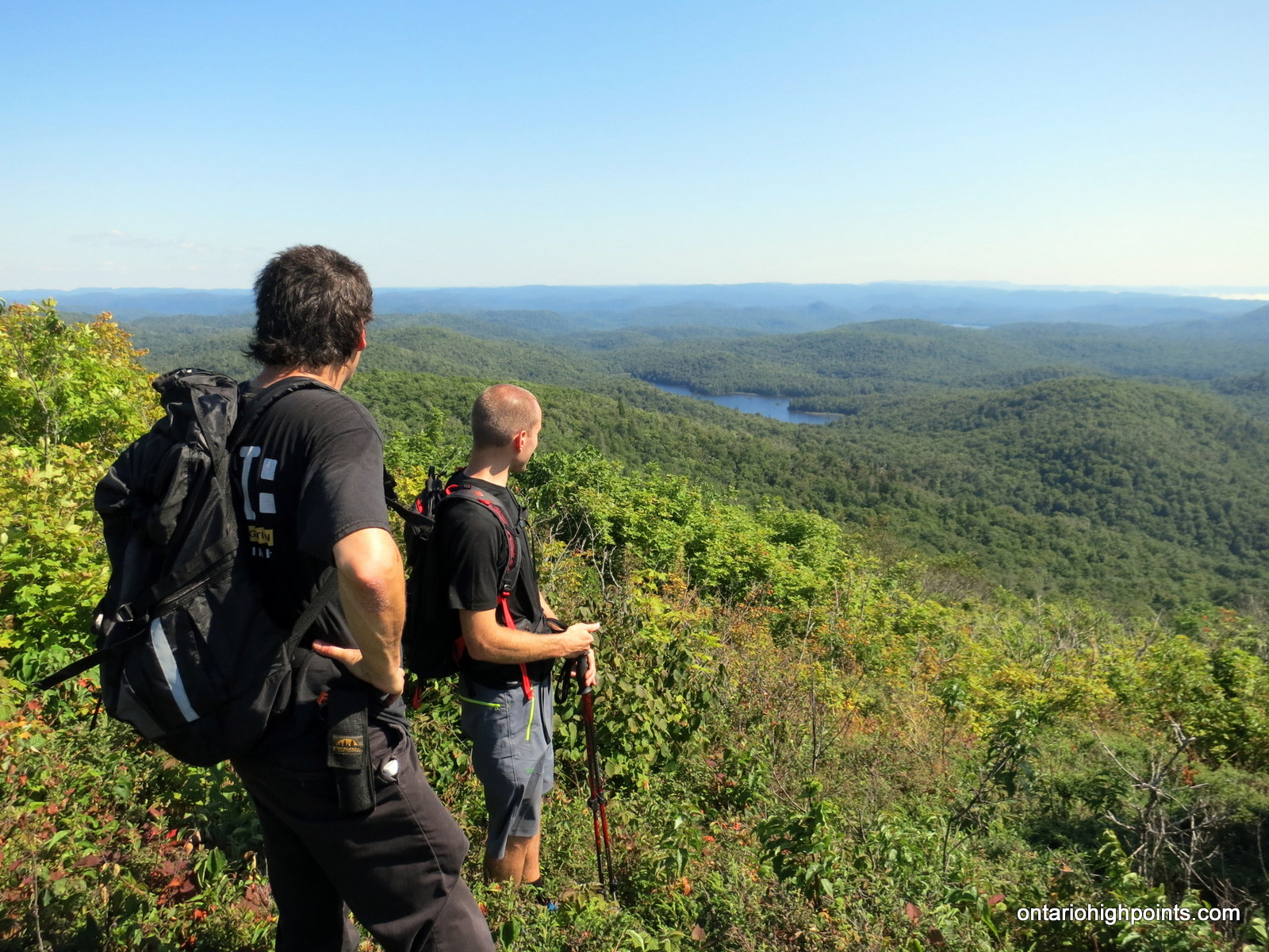
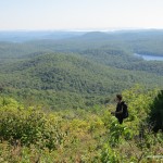
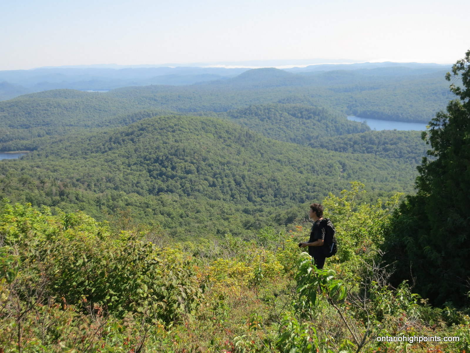
There are great views to the south and west, however I wanted to get a photo of Griffin Lake Peak which I had climbed the previous year. I wandered all over the summit for a north-east view point, but none existed that I could find.

Summit markers

GPS elevation

View West from Batchawana Mt.

View South from Batchawana Mt.

View North from Batchawana Mt.

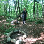
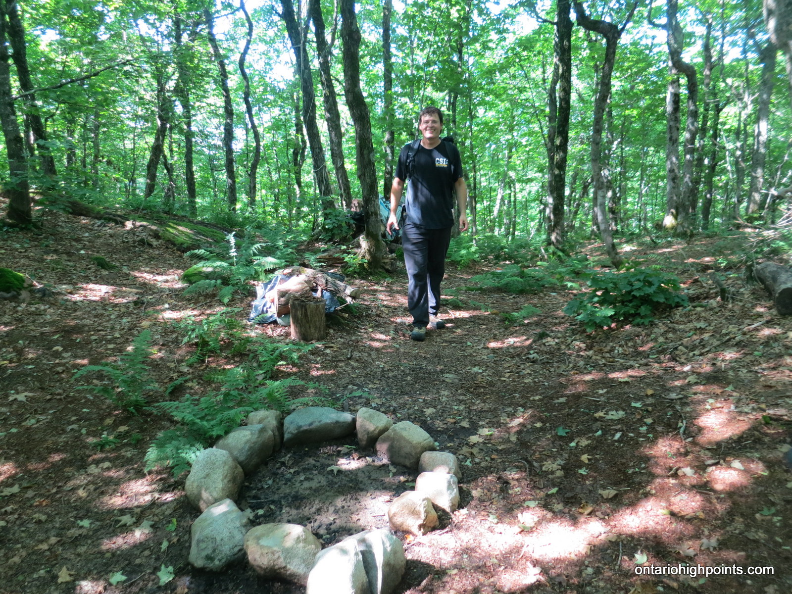
Batchawana Mt. summit campsite
A trail travels north from the summit and descends back into a forest floored with ferns and other low-lying brush. The forest is fairly open and makes easy passage. I was able to easily find the campsite just 25 m from the summit here.
Gallery (from August 25, 2015 trip):
-
- Batchawana Mt as seen from the road
-
- In memory of…
-
- Parking at the picnic shelter
-
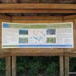
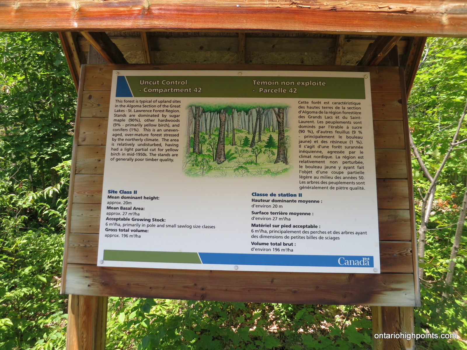
- Turkey Lakes Harvesting Impacts Project sign #1
-

- Turkey Lakes Harvesting Impacts Project sign #2
-
- Picnic shelter
-
- The start of the trail
-
- Batchawana Mt campsite
-
- Summit ‘Flag’
-
- Batchawana Panoramic
-
- Turkey Lake
-
- Batchawana summit markers
-
- Enjoying the views from Batchawana Mt
-
- Dan looking out onto the Algoma Wilderness
-
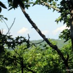
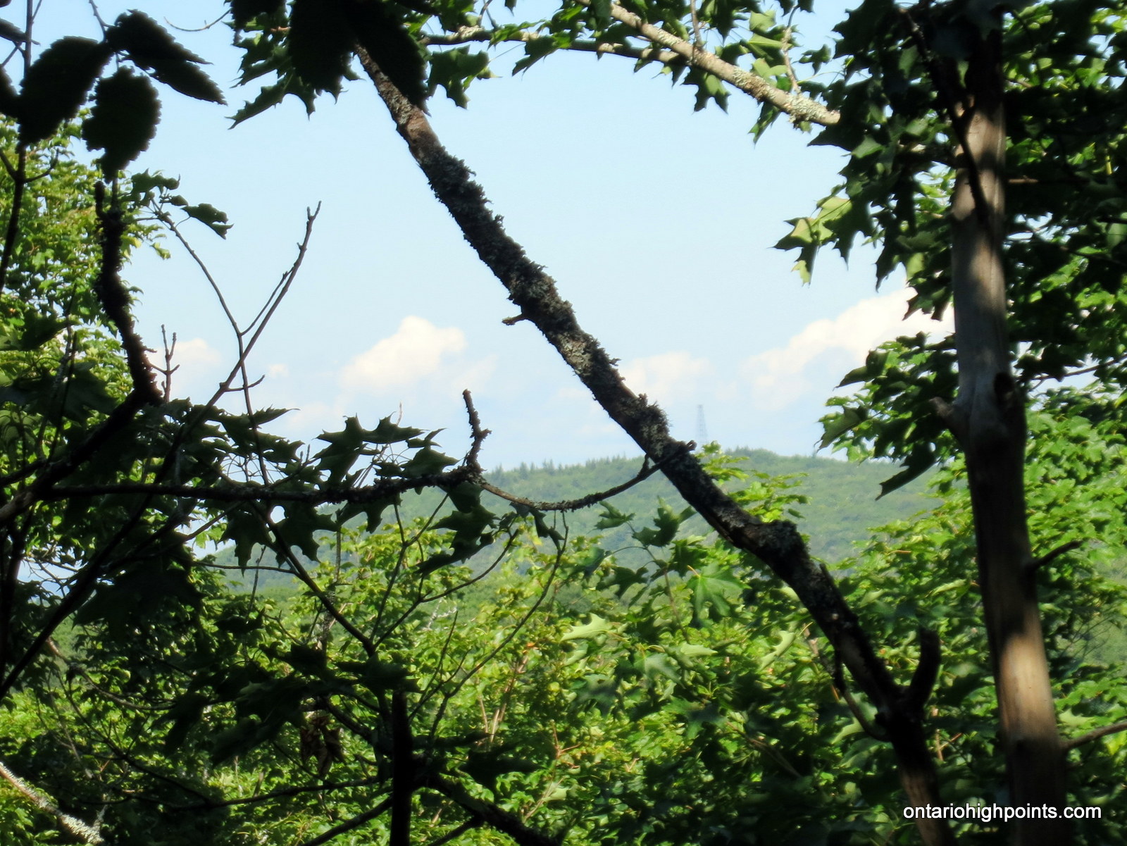
- Peaking through the trees to Griffin Lake Peak
Videos (from August 25, 2015 trip):
Batchawana Mountain GPS Track (.gpx format)
Related Links:
Dan Weemhoff’s Batchawana Mountain hike
Dan Weemhoff’s Batchawana Mountain hike (Summitpost)
Griffin Lake Peak
Atlas of Canada – Toporama
Where can I find Topographic Maps of Algoma highlands