Tower Mountain – Revisited
Posted by Derek on Jan 8, 2017

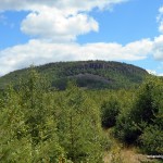
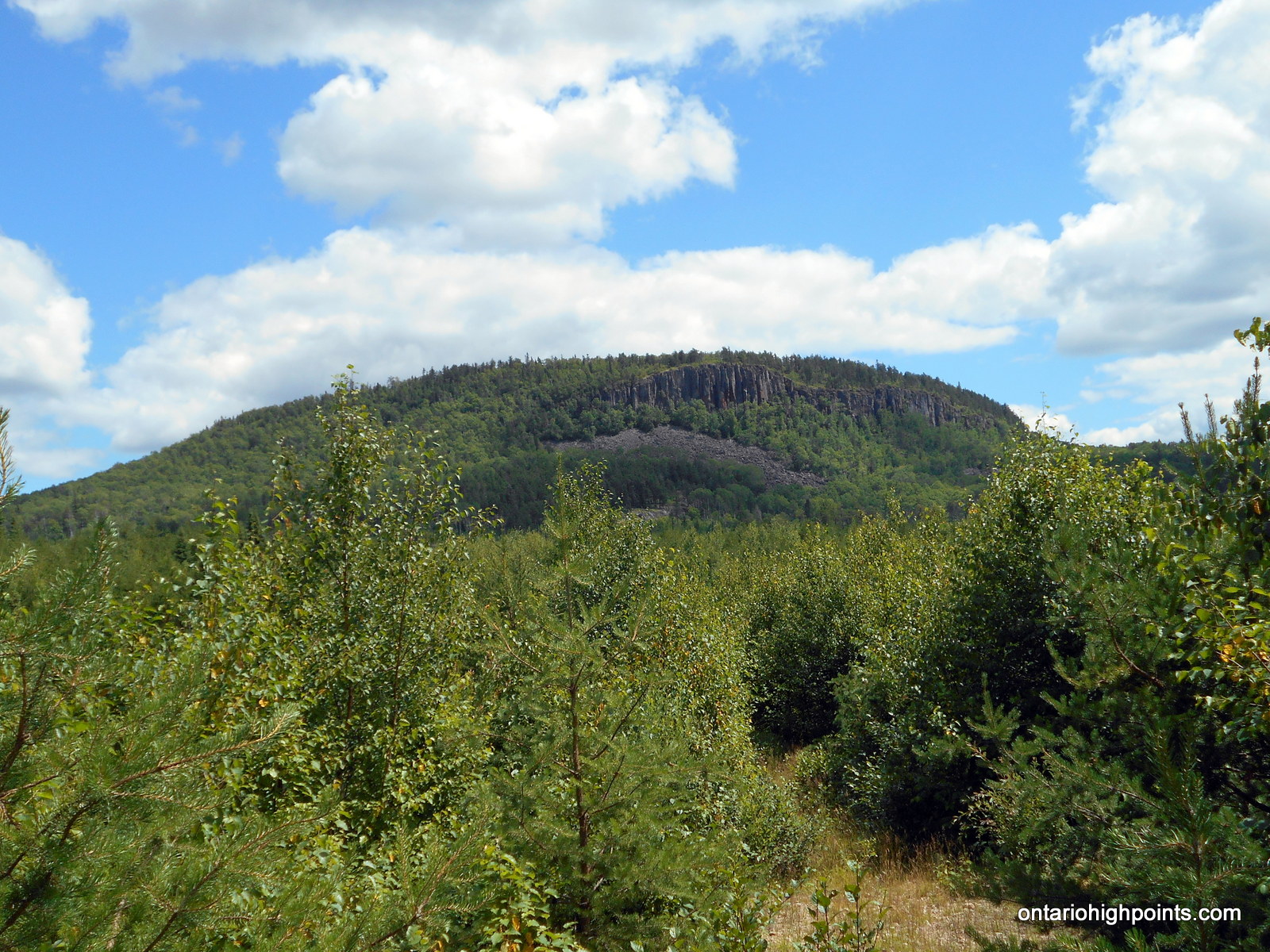
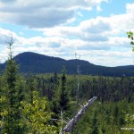
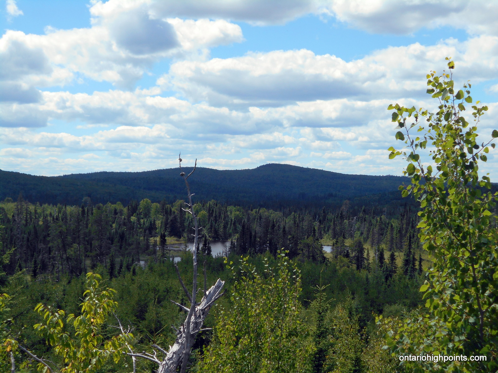
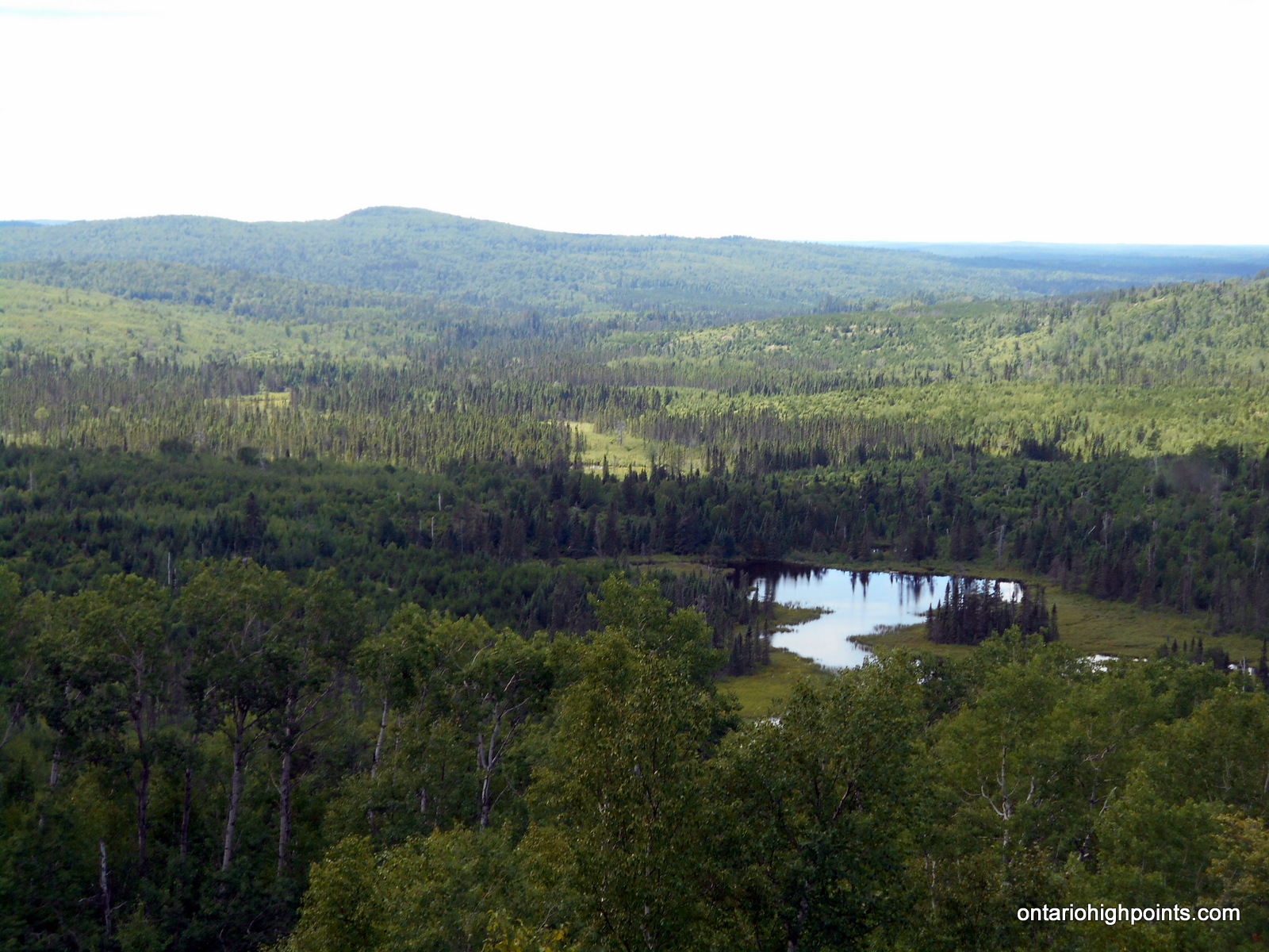
Tower Mt as seen from the road to Head Lake Peak East
Height: 2234 feet / 681 meters
Lat/Lon: N48.3074 W90.0945
Clean Prominence: 659 feet / 201 meters
Line Parent: Ishpatina Ridge (Tower Summit)
Key Col: N49 35.298 W85 41.667 (997ft / 299m)
GPS recorded height: 2260 feet / 689 m
Date Summited: July 28, 2016
Overview:
Tower Mountain is the second highest peak in Ontario. The peak is part of the range of hills on the northwest shore of Lake Superior, 45 kilometers west from Thunder Bay.
The name “Tower Mountain” is relatively new. For many years this summit was just known as a unnamed spot elevation in the “Thunder Bay Hills”. But the recent Ontario Base Map (1:20,000) published by the MNR (Ministry of Natural Resources) clearly labels the summit with its name and elevation. Ironically, the MNR seems to have forgotten that a tower was ever constructed here.
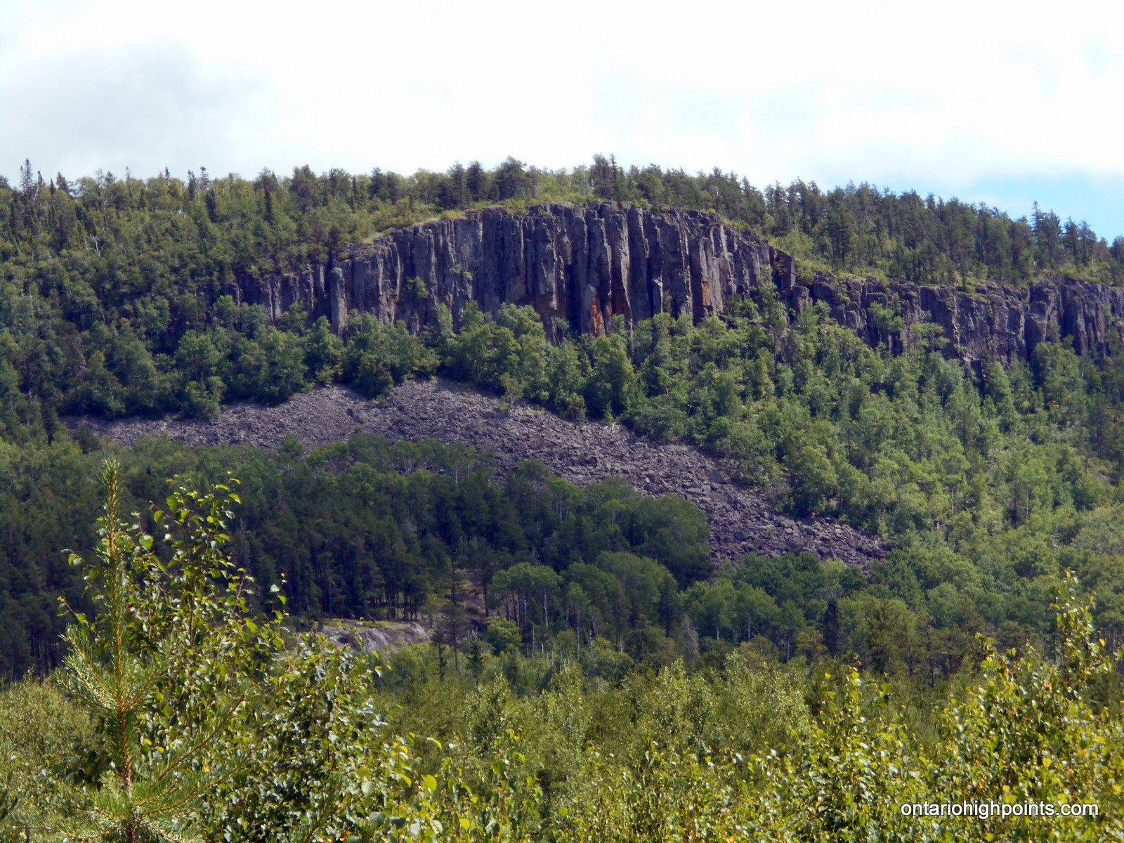
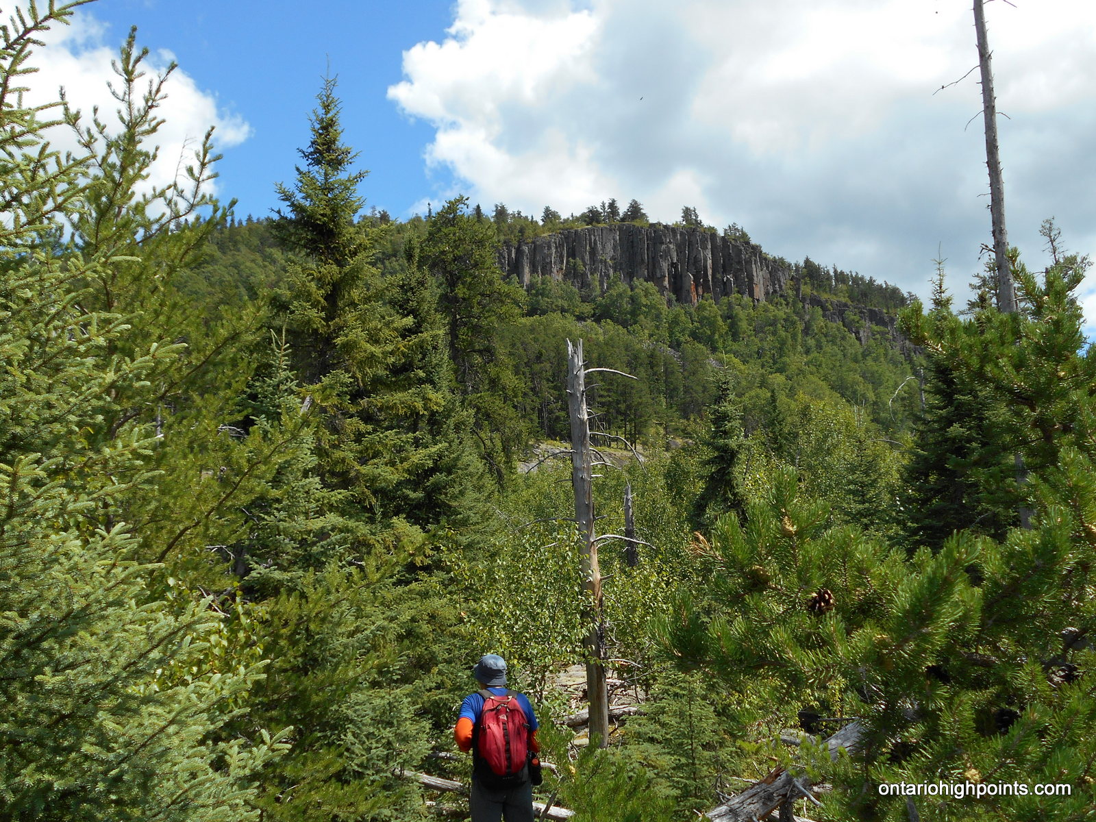
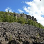
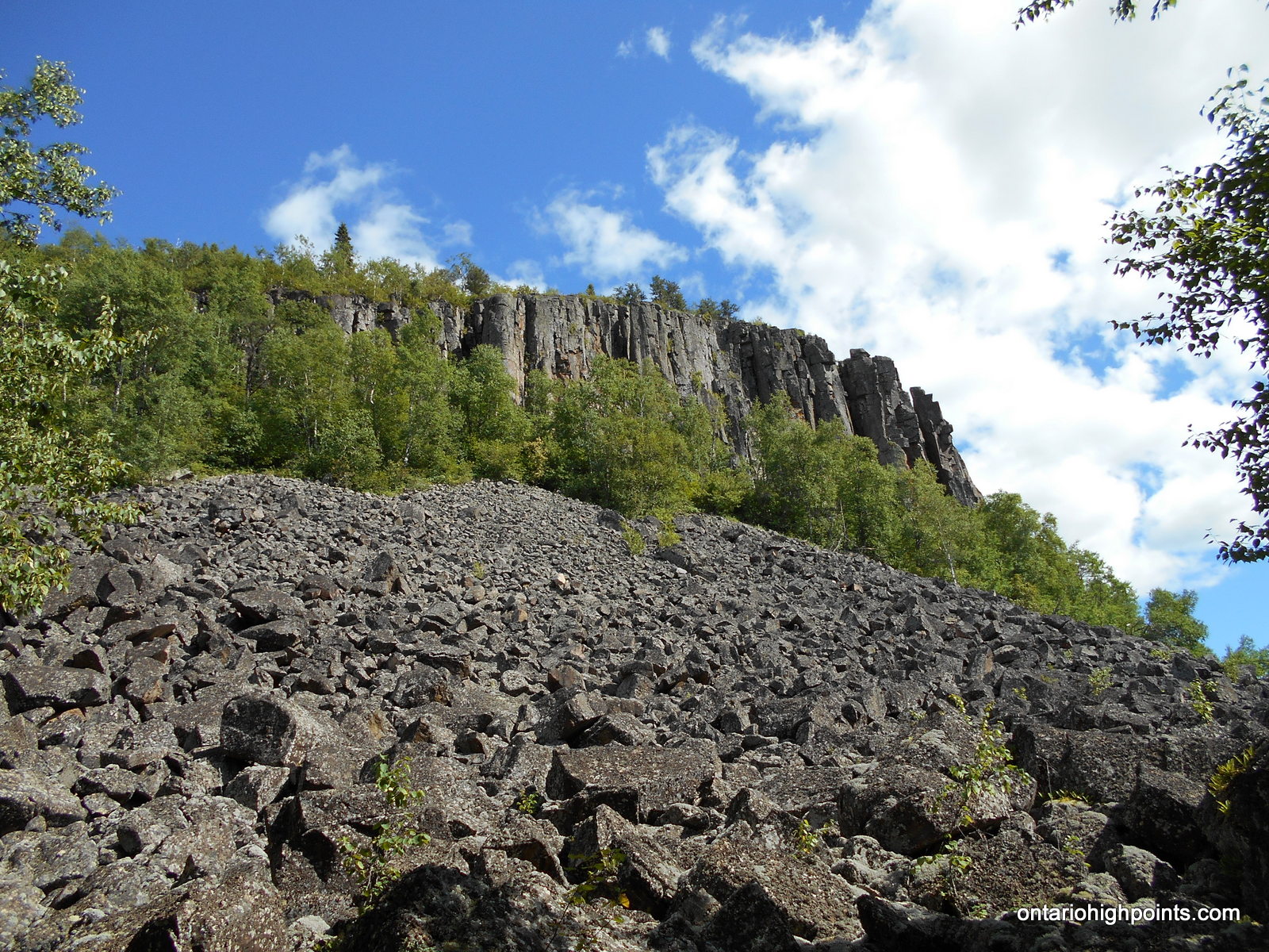
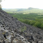
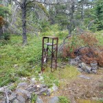
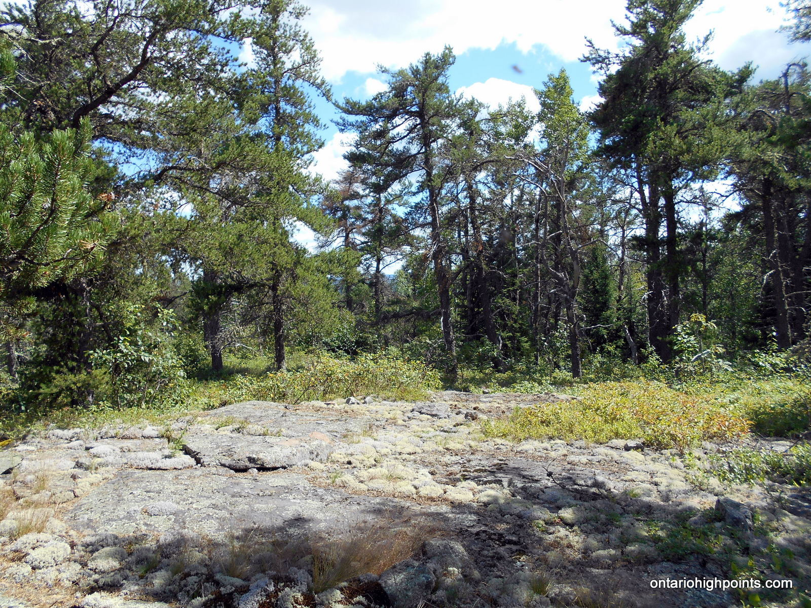
The peak is a flat-topped ridge, with steep slopes and cliffs surrounding the central plateau. The summit is a very broad flat area with lots of clearings and debris from an old tower. You can see the tower footings, the wreckage of the wooden observation box, old cables, and electrical junk lying around. There are no views at the summit, but if you make your way west for 150 meters you will come to the top of the cliffs where you’ll be able to get a nice vista of the surrounding area.
Directions:
There are 2 routes to Tower Mt.:
- A route which approaches from the south starting from Hwy 588 near Suomi. Click here for a trip report which outlines this route.
- Alternately, the peak can be reached from the north by following overgrown quad paths which start on Marks Lake/Boreal Road. This trip report outlines this route.
From Thunder Bay, take Hwy 11/17 west to Kakabeka Falls. Immediately past the falls, turn left onto Hwy 590 and head south, then west along the road. 13.4 km from the intersection with Hwy 11/17 turn right onto Boreal Road. Despite being a gravel road, Boreal Road is well graded and wide. Stay on Boreal Road for 22.8 km until reaching the intersection with Marks Lake Road. Turn left (southwest) onto Marks Lake Road.
Stay on Marks Lake Road for 3.4 km until arriving at a left turn (south) onto a narrow overgrown quad path. As of the time of this report (July 2016), this road is almost completely overgrown, so you’ll need to park at this intersection (N48 22.339 W90 06.701) and proceed on foot. Follow this overgrown road southward, turn right at the fork at kilometer 4.6, and then left at kilometer 5.0. Proceed to the T-Junction at kilometer 8.0. The road on the right makes its way south towards Head Lake Peak East/South, whereas the left road goes east towards Tower Mt.
Turn left (east) at the T-Junction and follow the overgrown path, turn left at the fork at kilometer 9.0 and cross the makeshift ladder-bridge at kilometer 9.4. In 100 meters, the road becomes completely overgrown and unrecognizable. This is the start of the bushwhack (kilometer 9.5).
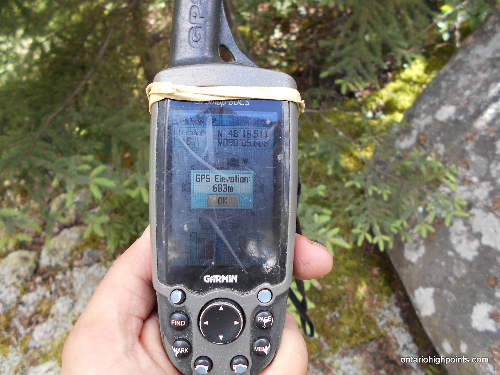
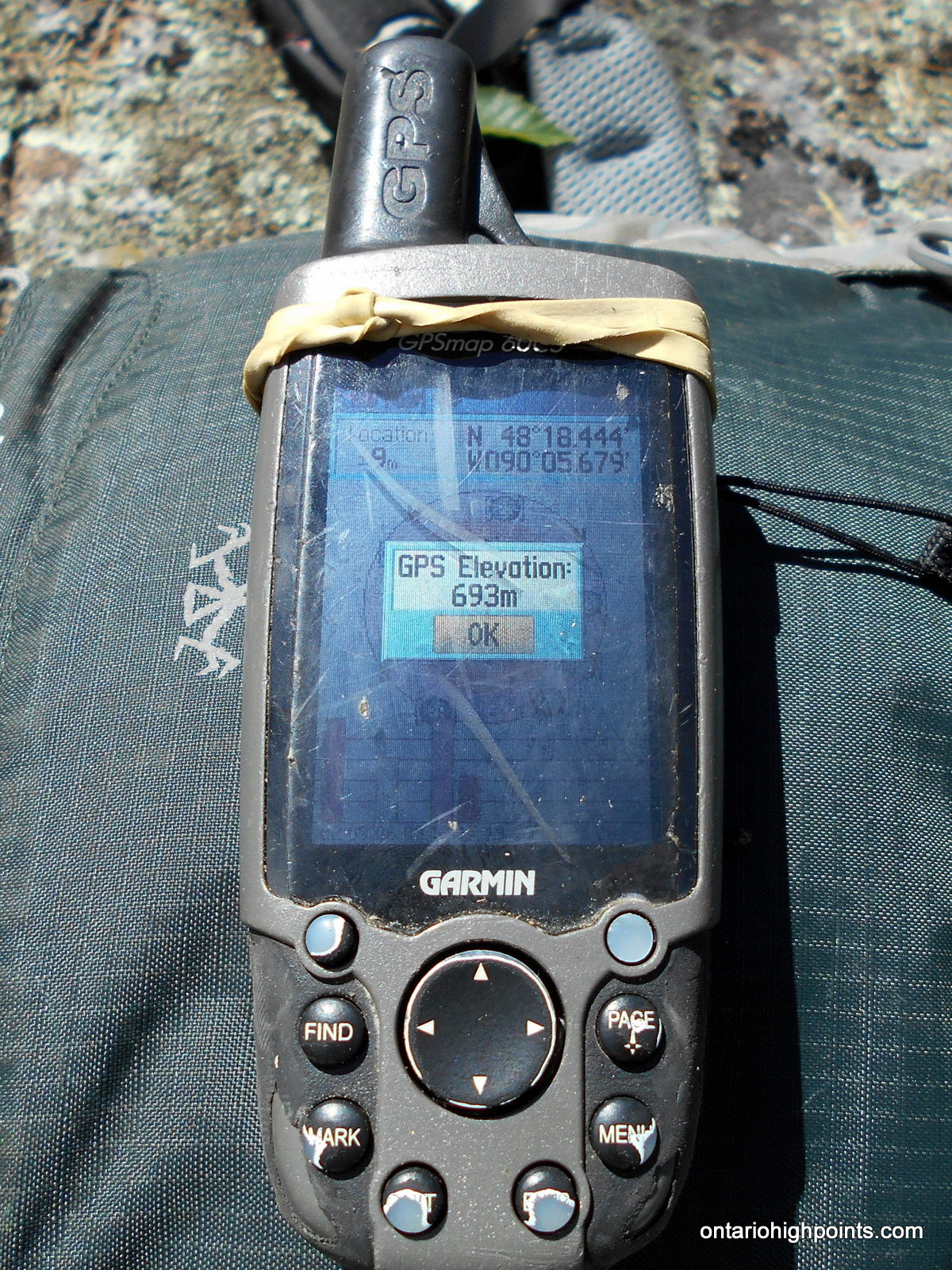
Set a compass course 105 degrees (true north) and bushwhack 450 meters up rugged terrain through thick bush, which eventually gives way to open forest with lots of dead fall. Stay to the north of the talus field and cliffs and begin the steep scramble up to the summit plateau. Once reaching the top of the summit plateau, change compass course to 140 degrees and make the final 350 meter bushwhack to the tower debris field. As Tower Mt. is a very broad and flat summit, there are multiple candidate high points and it’s hard to ascertain which is the highest. There are at least 2 high point candidates, the first near the tower debris at N48 18.448 W90 05.674, and a second at N48 18.511 W90 05.610.
View a larger version of the map
Trip Summary:
Note: This trip was combined with a trek to Head Lake Peak South. See this trip report for more information.
0.0 km – Turned Right (East) at Head L. Peaks / Tower Mt. T-JCT (2:30 PM)
1.5 km – Start of the bushwhack to Tower Mt. (3:10 PM)
2.4 km – Arrived at Tower Mt. High Point Candidate 2 (3:55 PM)
2.8 km – Arrived at Tower Mt. High Point Candidate 2 (4:15 PM)
2.8 km – Departed Summit of Tower Mt. (4:35 PM)
3.9 km – Finished Bushwhack / Back on trail (5:15 PM)
5.4 km – Arrived back at T-JCT. (5:45 PM)
* Times reported in Eastern Daylight Time (UTC -4)
Gallery:
-
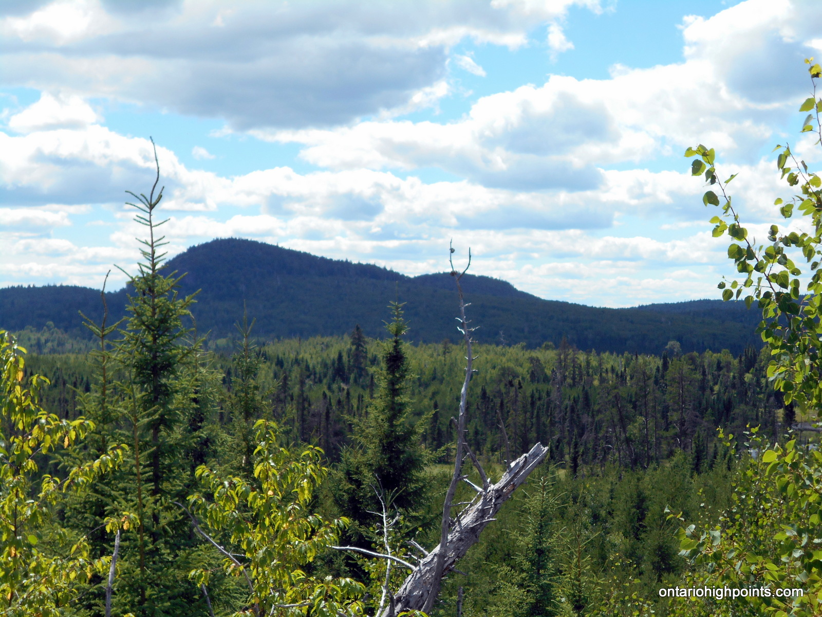
- Tower Mt.
-
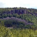
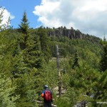
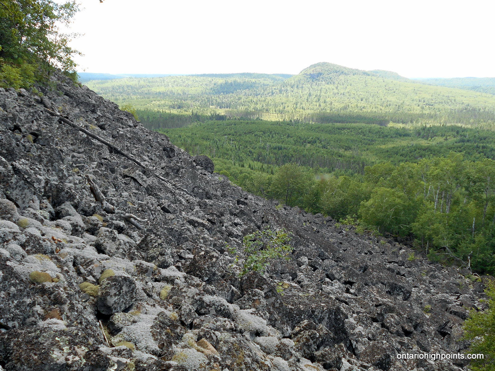
- Cliffs and talus field on Tower Mt.
-
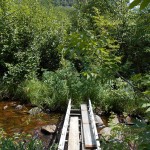
- ‘Bridge’ on route to Tower Mt.

-
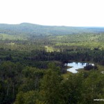
- Head Lake Peak East and South
-
- Head Lake Peak West
-
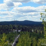
- On our way to Tower Mt.
-
- Head Lake Peak West in the background
-
- Tower Mt. Talus Field
-
- On the slopes of the talus field
-
- Tower Mt. – HP Candidate 2
-
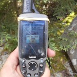
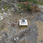
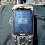
- Tower Mt. – HP Candidate 2 GPS Elevation
-
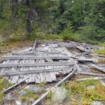
- Fire Tower Debris

-
- Relics
-
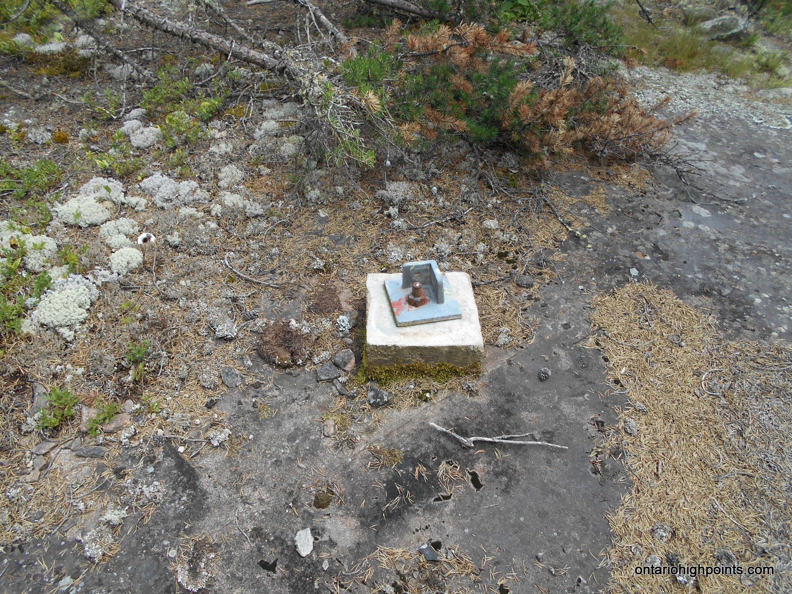
- Fire Tower Footing
-
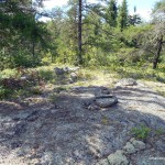
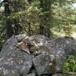
- Tower Mt. – HP Candidate 1
-
- Tower Mt. – HP Candidate 1 GPS Elevation
-
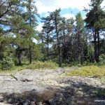
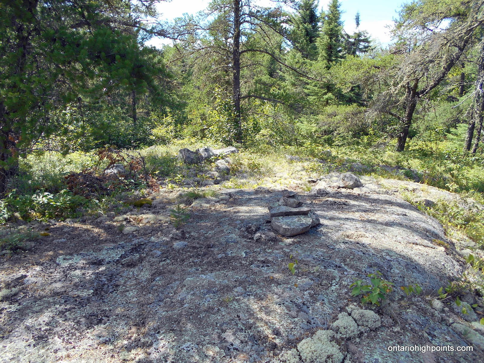
- Summit Area
Trip Report:
After climbing Head Lake Peak South earlier that day, Ben and I arrived back at the kilometer 8.0 T-Junction where the trails to Tower Mt. and Head Lake South/East Peaks diverge. We turned right at the fork (east) and headed off towards Tower Mt.
Similar to the road to Head Lake South Peak, the road was very overgrown and at times difficult to follow. The road soon petered out completely, so we had to start the bushwhack earlier than we were anticipating.
We bushwhacked east, initially through thick bush and over rugged terrain. Eventually as the ascent steepened, the dense forest gave way to more open forest with lots of deadfall. About half way up the ascent, we reached the western edge of the talus field situated at the bottom of the Tower Mt. cliffs. I was able to get some good views west towards the Head Lake Peaks from here. We continued the ascent by staying northwest of the cliffs. The final ascent to the summit plateau was a steep rough scramble.
Once reaching the top of the flat summit plateau, the forest was more open. We headed to 3 possible summit candidates that I had identified on my maps. The first candidate (labelled as High Point Candidate 2) was about 100 meters north of the fire tower debris, the second candidate (which we discounted as being lower than High Point Candidate 1) at the fire tower debris and the third candidate (labelled as High Point Candidate 1) just 50 meters southwest of the tower debris.
After visiting each high point candidate and the surrounding areas, it is our opinion that the highest point on Tower Mt. is the high point 50 meters southwest of the tower debris field (High Point Candidate 1). Ben placed a CoHP log book and cache on a tree at the highest point for future visitors to Tower Mt. to record their ascent.
We returned back to the T-Junction via same route, and eventually made our way back to our vans parked on Marks Lake Road.
GPS Tracklog (GPX Format):