Ryan’s Mountain
Posted by Derek on Aug 18, 2010
Height: 1716 feet / 523 meters
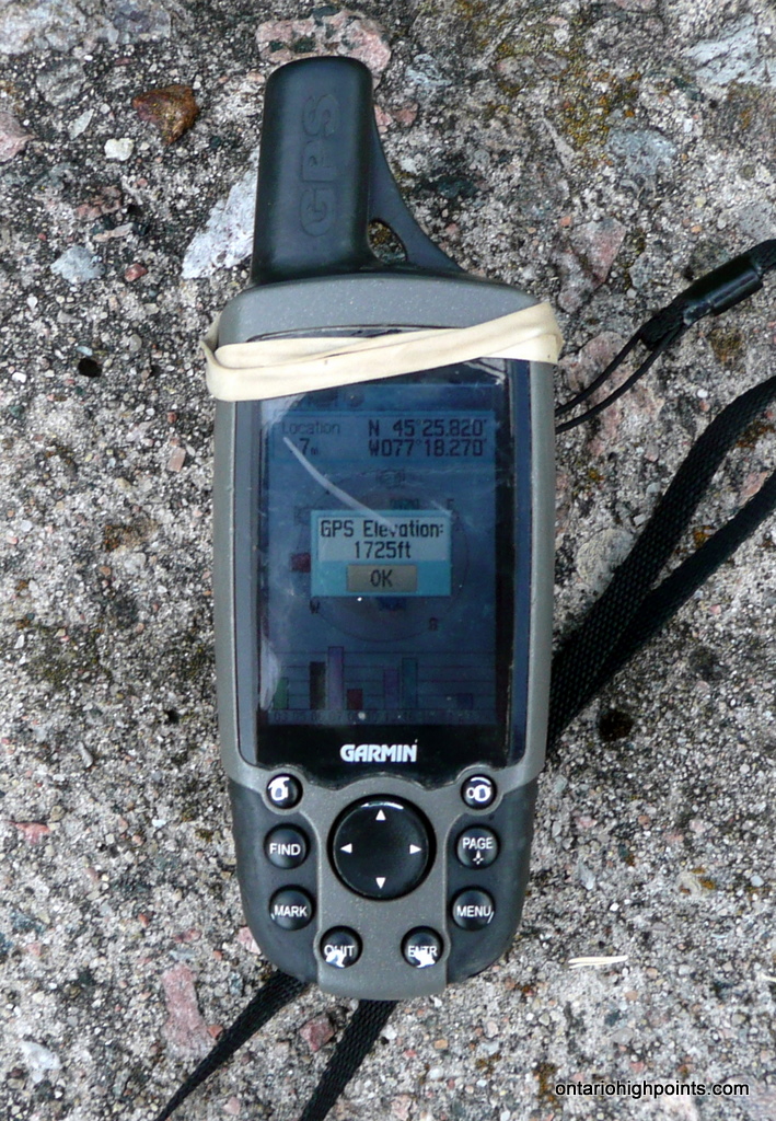
GPS recorded height: 1725 feet / 526 meters
Lat/Lon: N45 25.817 W77 18.296
Date Summited: July 11, 2010
Directions / Trip Summary:
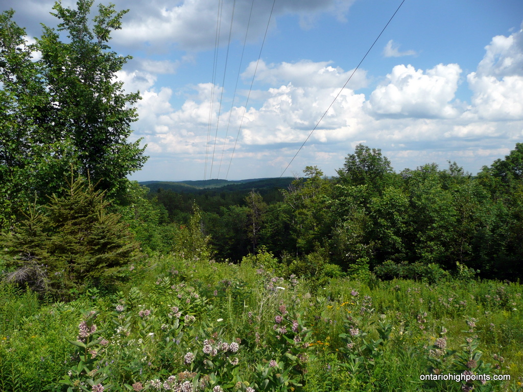
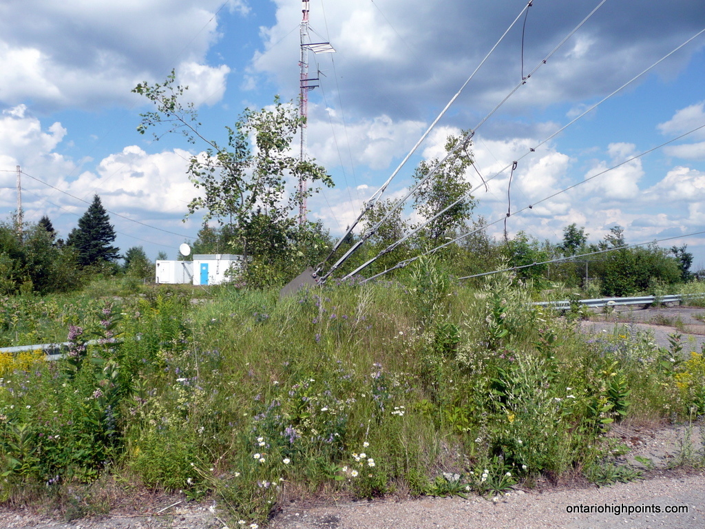
Ryan’s Mountain, the highest point in Renfrew County was the site of a Pinetree Line radar base which closed in 1974. The community of Foymount is located along the slopes of the peak, a short distance from the summit. There is no hiking required to ascend this high point, as a road travels right to the top.
Ryan’s Mountain lies 60 km northeast of Bancroft. Make your way to Foymount, eventually ending up on County Road 512. Turn onto Sebastopol Drive which climbs the hill through the community of Foymount. 750 meters from County Road 512, turn left onto Lawrence Road and complete the 300 meter drive to the summit.
Remains of the Pinetree Line radar base buildings as well as towers and their support buildings dot the flattened hilltop. A small hill built around one of the tower cable supports appears to be the highest point.
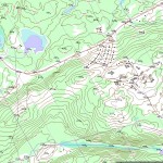
View a larger version of the map
Gallery:
-
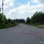
- Looking back at the drive up

-
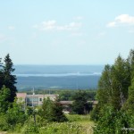
- View towards Foymount
-
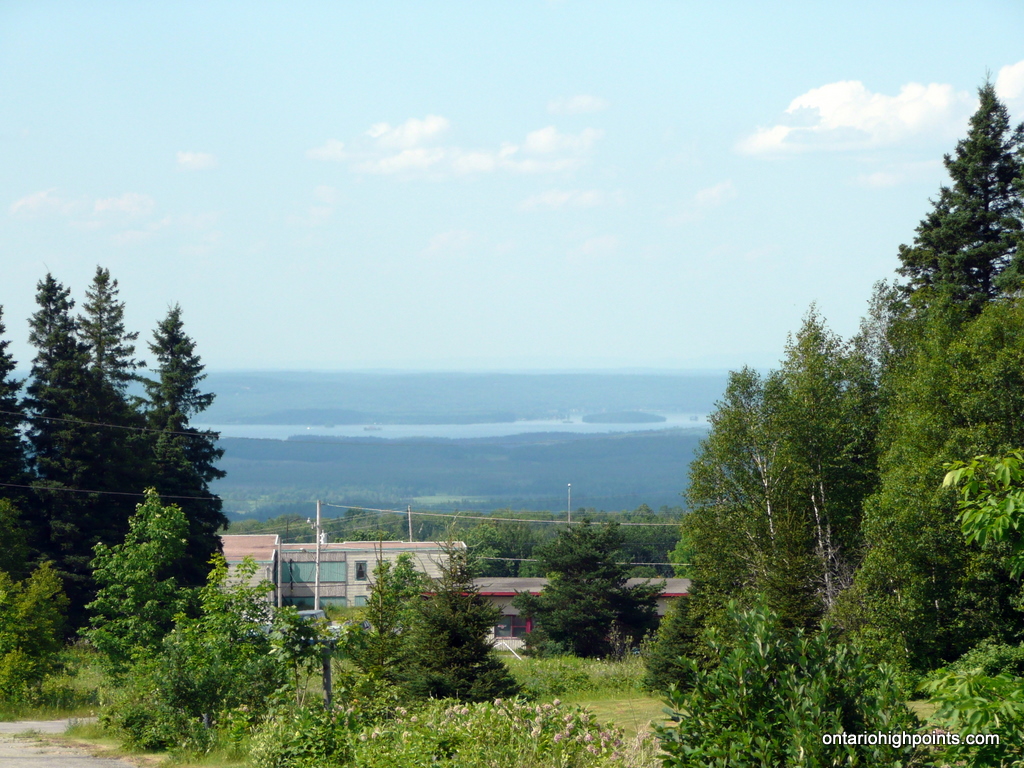
- View south
-
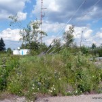
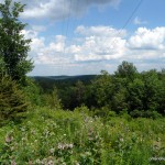
- Highest point ?
-
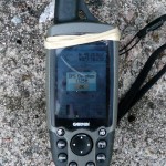
- GPS elevation
-
- Ryan’s Mt. (OBM)

Ryan’s Mountain GPS Track (.gpx format)
Related Links:
Renfrew County High Point on peakbagger.com
Foymount Ontario on wikipedia.org
Foymount on Bob & Diana McElroy’s Bushlog
My father was EARL ANDREWS. He purchased the tip and put a 280′ Communications Tower bringing the County of Renfrew and its EMERGENCY
MEDICAL SERVICES into the 21st century regarding pagers for the VOLUNTEER FIRE FIGHTERS,DOCTORS,ONTARIO HYDRO ETC. I LOVED RUNNING AROUND THE DOMES AND MAIN BUILDING BEFORE THEY WERE SOLD AND TORN DOWN. SO MUCH STUFF WAS JUST LEFT BEHIND. IT WAS AN 11 YEAR OLD PLAYGROUND.ZSW\SWA3AA