Parch Creek Peak East
Posted by Derek on Sep 12, 2017
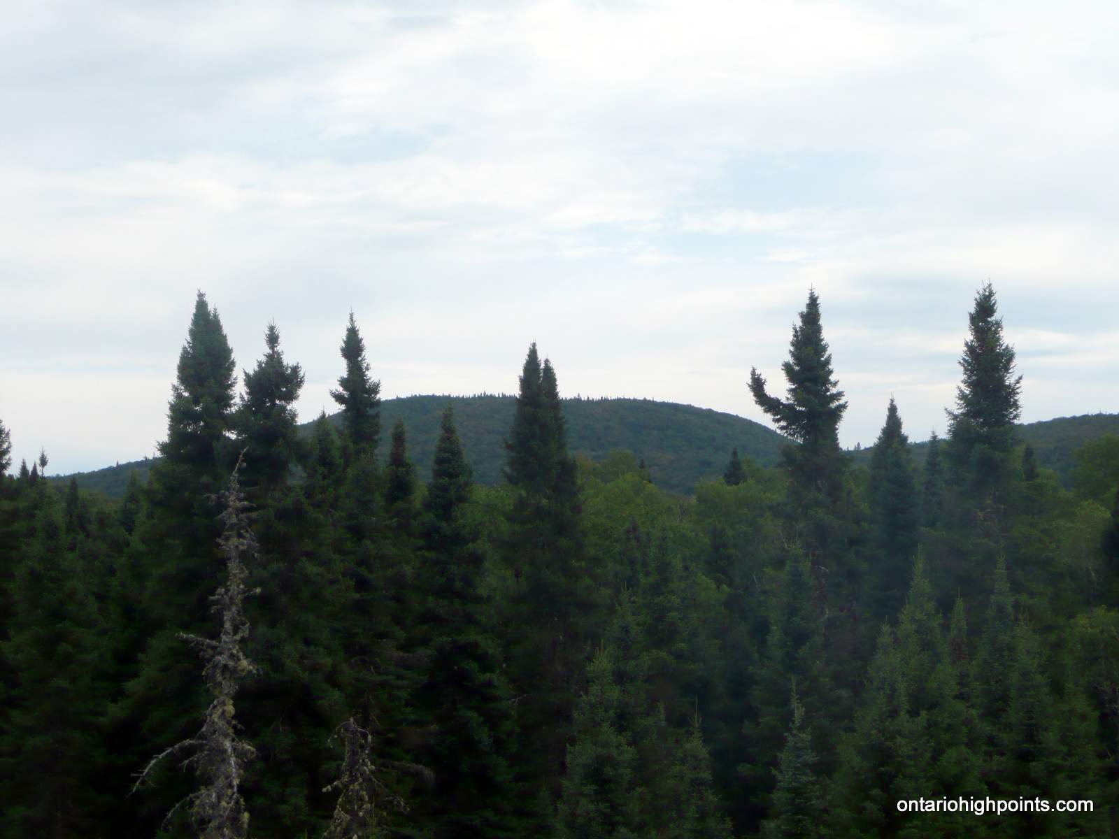
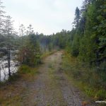
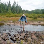
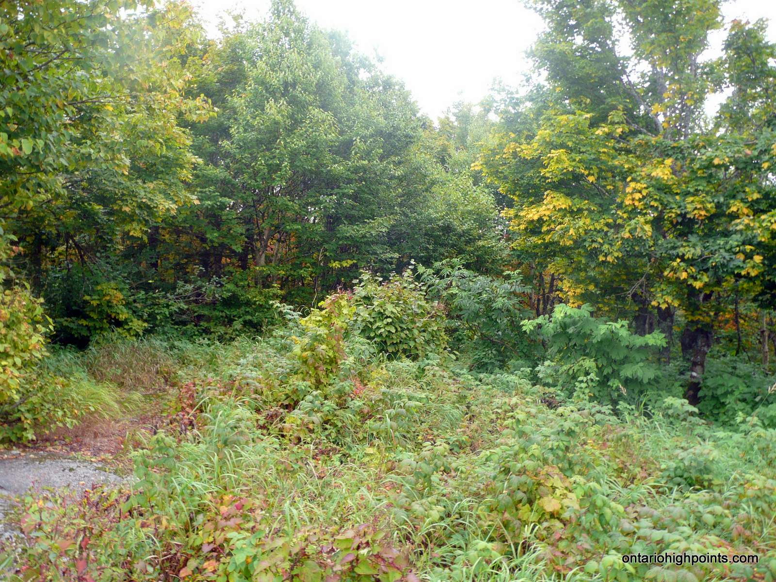
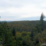
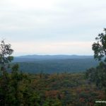
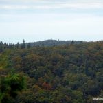
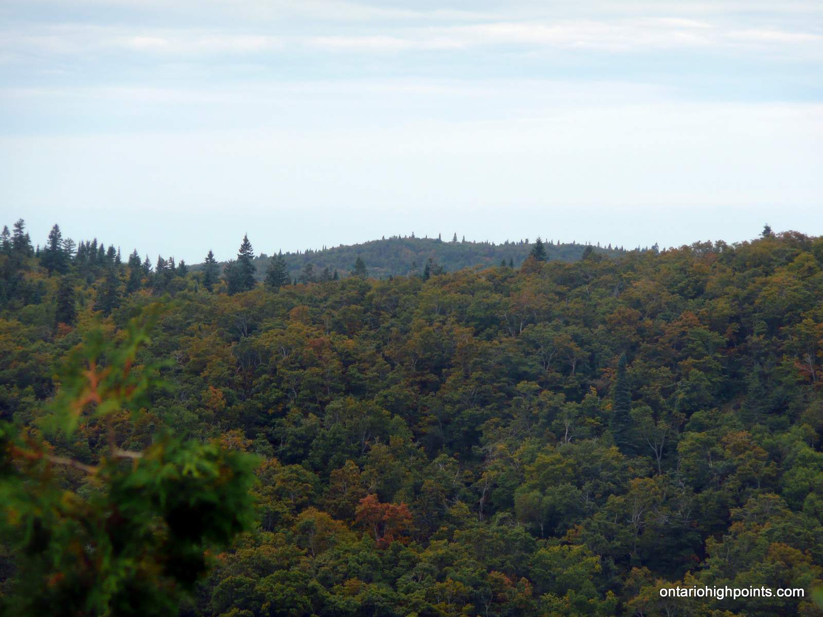
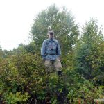
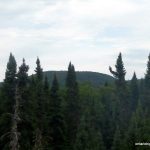
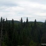
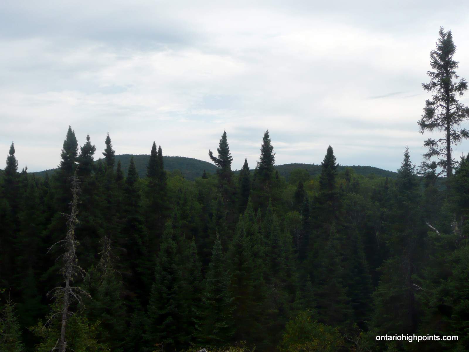
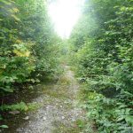
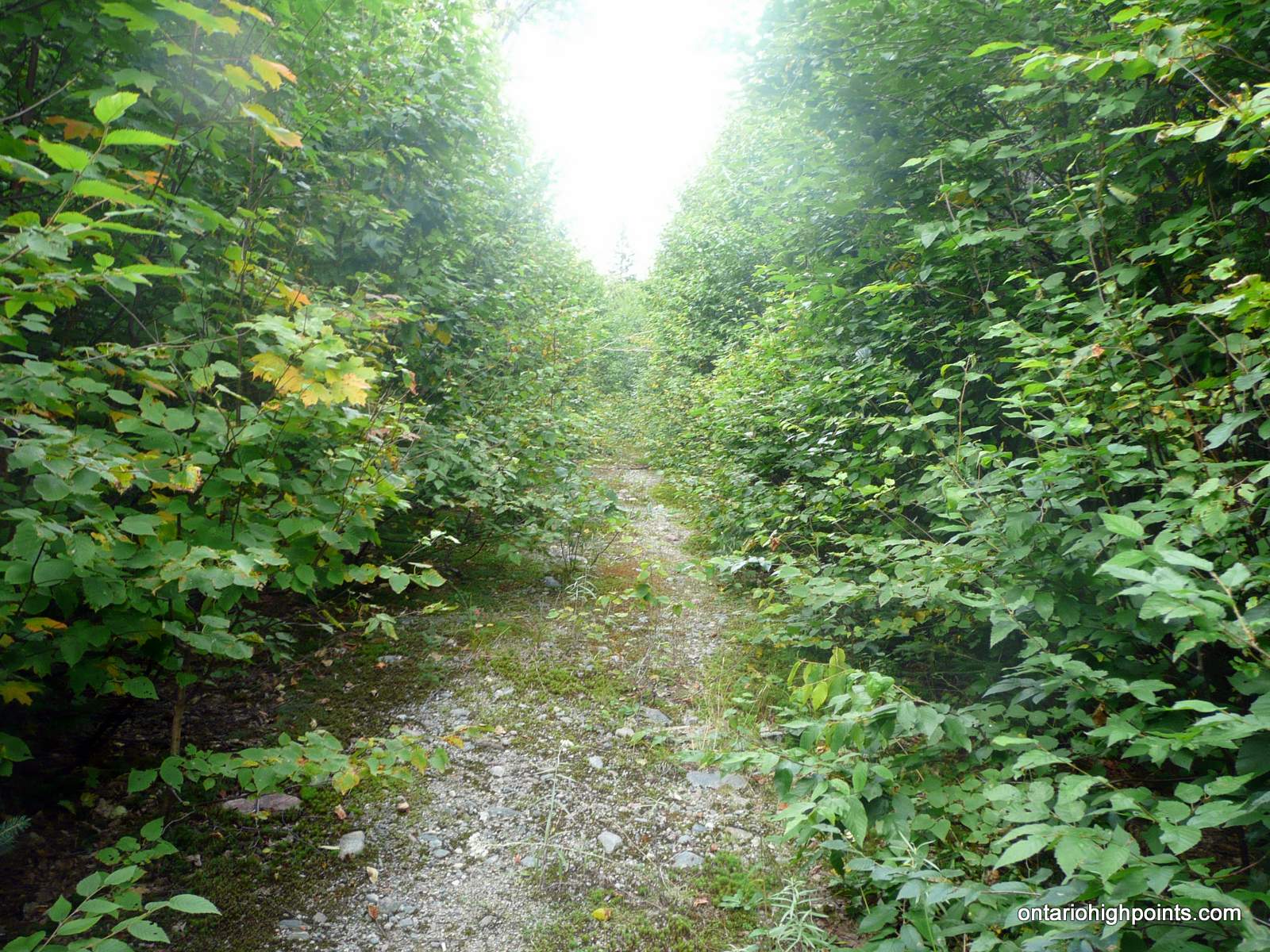
Parch Creek Peak East as seen from a clearing on route
Height: 2123 feet / 647 meters
Lat/Lon: N47.6288 W84.3851
Clean Prominence: 548 feet / 167 meters
Line Parent: Blackspruce Lake Peak
Key Col: N47 37.329 W84 18.058 (1585 ft / 483 m)
GPS recorded height: 2153 feet / 656 meters
Date Summited: September 2nd, 2017
Overview:
Parch Creek East Peak is a remote peak in the Algoma Wilderness, located 24 km north-northeast of the Agawa Canyon and 10 km southeast of Millwood, a stop along the Algoma Central Railway. Parch Creek, the closest significant body of water from which the mountain is named, winds it’s way west into the Agawa River at the Algoma Central Railway.
Directions:
From Wawa, travel 37 km east along Hwy 101 to the turnoff onto Tik Road. Turn right (south) onto the well maintained logging right (Tik Road) and drive for 29.5 km to a major fork. Turn right (west) at the fork onto Millwood Road.
Follow Millwood Road west for 8.7 km to the turnoff south (left) to Rainer Lake Road. Rainer Lake Road is partially overgrown, rough and only suitable for offroad vehicles such as quads, ATVs, etc. Park along the Millwood road shoulder or at the gravel pit, 1.3 km further west along MillWood Road (N47 41.705 W84 28.066).
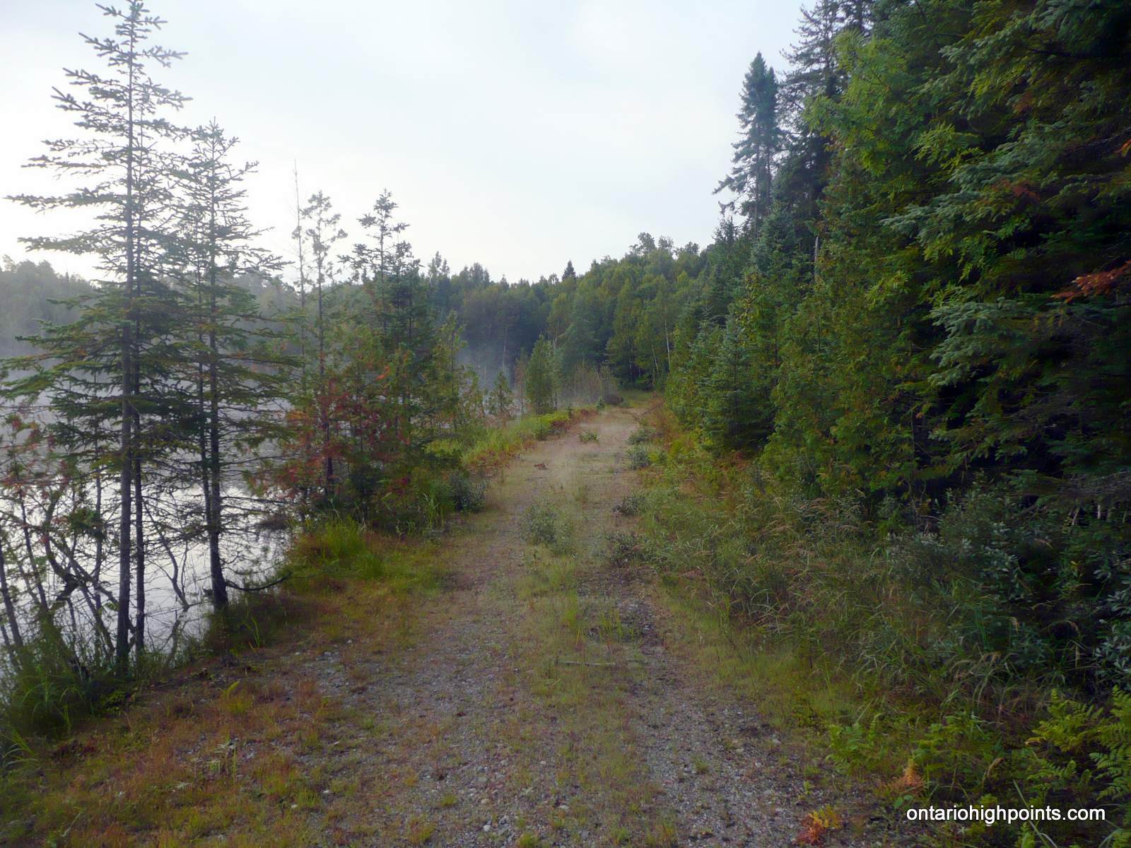
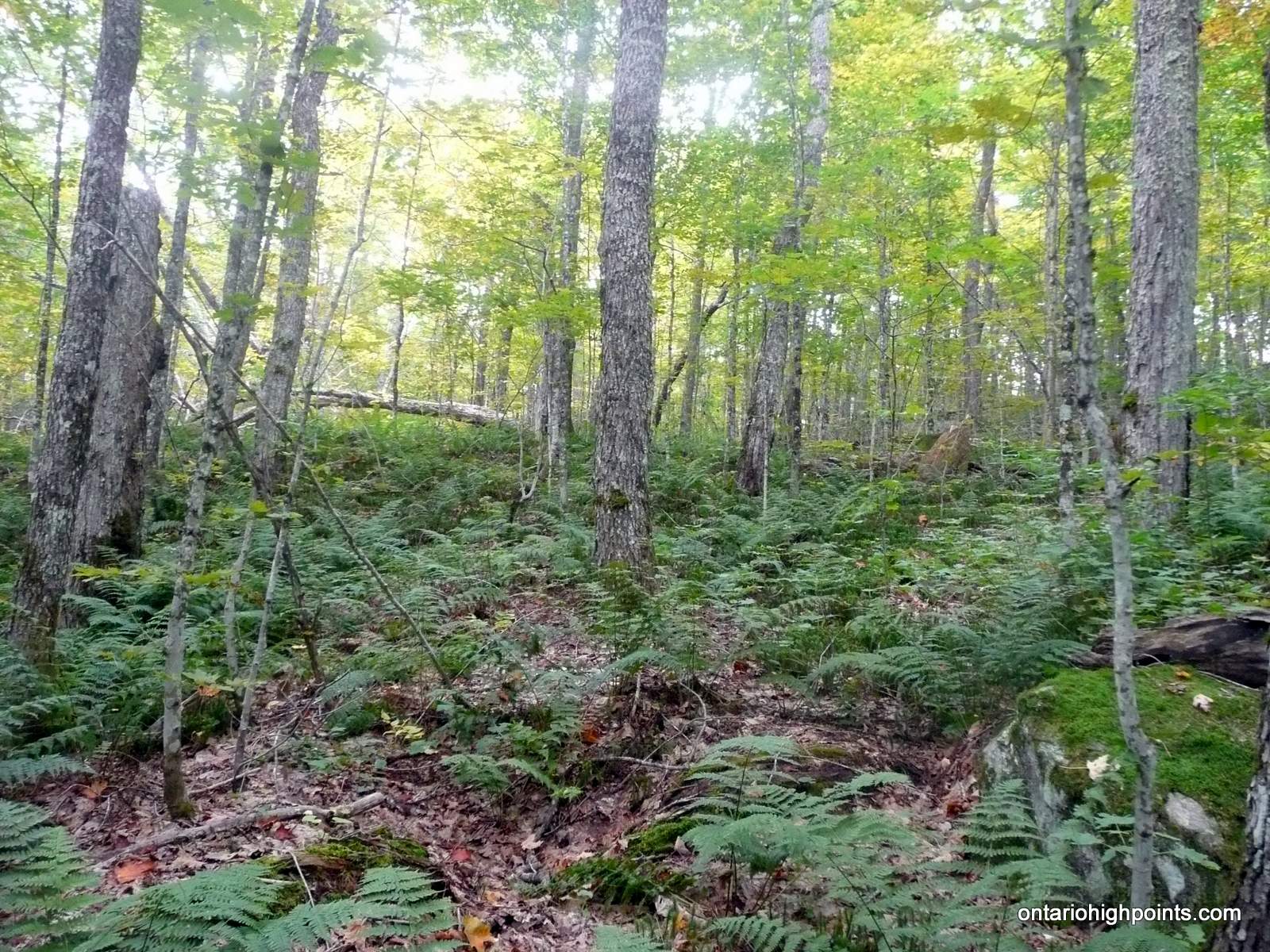
Travel south on Rainer Lake Road for 6.3 km to its closest approach (N47 38.852 W84 26.755) with Parch Creek Peak East. Bushwhack 1.8 km, bearing 128 degrees (magnetic) to Parch Creek. After ascending and cresting the initial hill most of the bushwhack is downhill to Parch Creek. The forest is a mostly deciduous forest type with thin understory, but changes to a mixed deciduous-coniferous forest with thicker underbrush closer to Parch Creek.
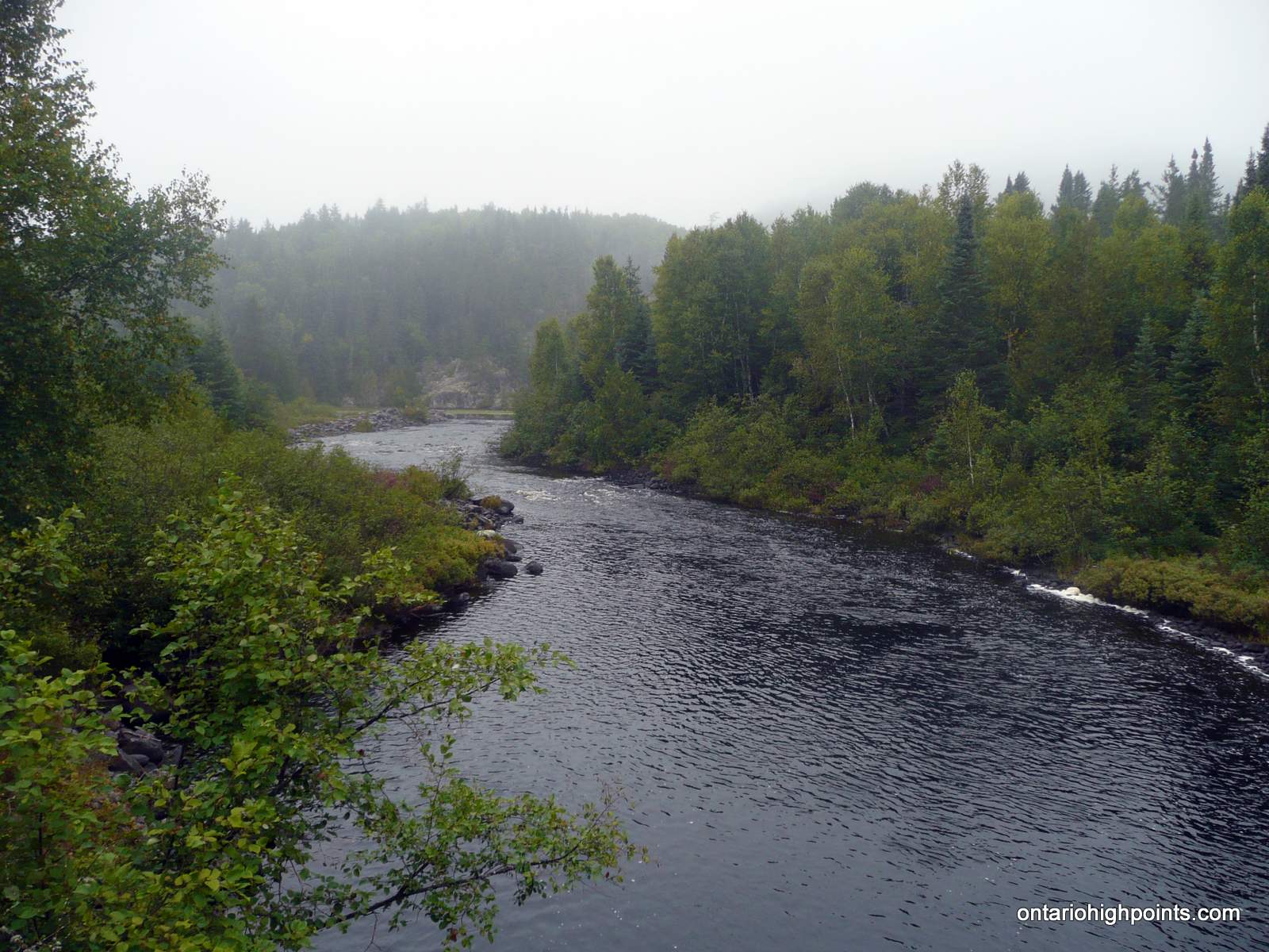
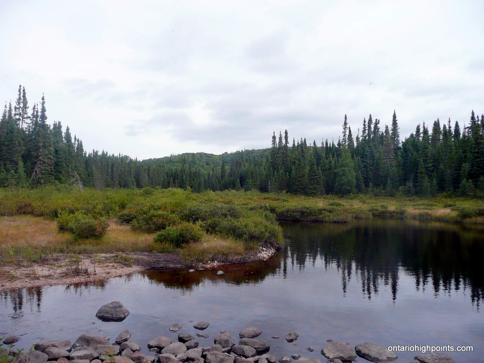
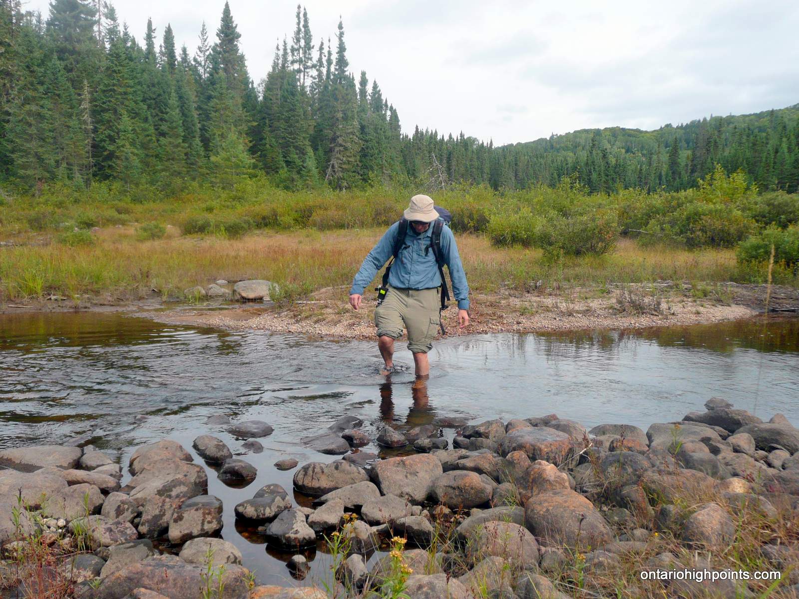
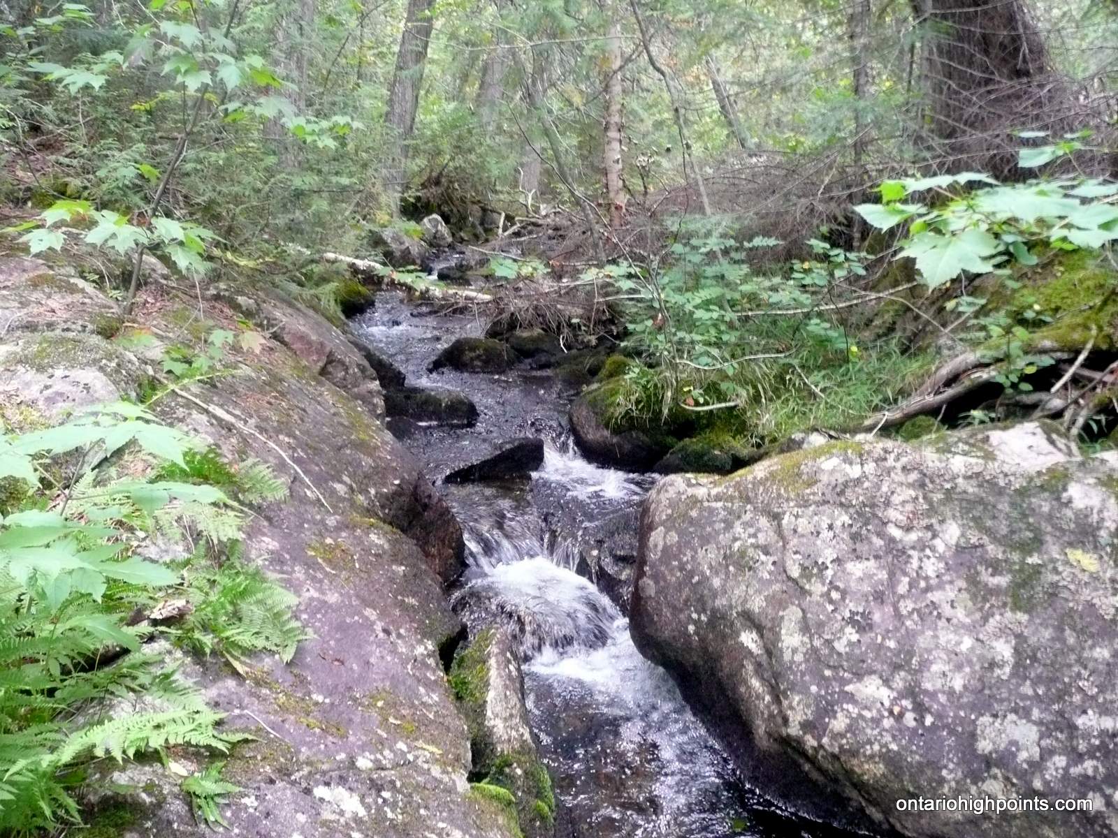
Except in high water, Parch Creek can easily be crossed. By late summer, it’s about 12 feet across and a maximum of 1.5 feet in some sections. A good place to ford is just south of the clearing / flood plain at N47 38.361 W84 25.506. Parch Creek is the first of 4 creek crossings, however the other 3 creeks are significantly smaller and Parch Creek is the only one which requires fording.
After fording Parch Creek, continue onwards at the same bearing; 128 degrees (magnetic) to a 2nd creek crossing. This is a narrow creek which can easily be crossed on rocks. Once across the creek, avoid descending to the unnamed lake (source of the creek). Instead, head southeast and ascend for 700 meters up a ridge to a 3rd creek crossing (small).
After crossing the 3rd creek, turn east and head 800 meters to a 4th creek crossing. The valley around this creek is steep sided in many places, so be cautious where you cross. Beyond the 4th creek, continue east for 800 meters as to navigate around the ponds at the base of Parch Creek Peak East. Once beyond the eastern edge of the ponds, turn to bearing 150 degrees (magnetic) and make the 600 meter ascent up the ridge to the summit.
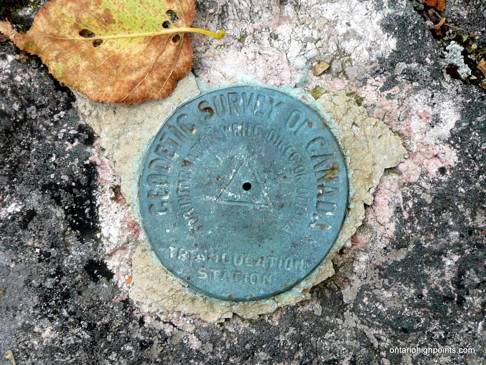
There are 2 geodetic survey monuments at the summit. The highest point is atop one of 2 large rocks located just north of the survey markers (it’s not obvious which one is the highest). There are also some views southwest towards Parch Creek West Peak and Nailhead Peak at a rocky clearing (N47 37.696 W84 23.123) just 60 meters south of the summit.
View a larger version of the map
Trip Summary:
00.0 km – Departed Millwood Road along Rainer Lake Road (7:27 AM)
01.0 km – Left Turn #1 (7:41 AM)
01.8 km – Right Turn #1 (7:53 AM)
03.1 km – Left Turn #2 (8:19 AM)
05.7 km – Left Turn #3 (9:02 AM)
06.3 km – Start of bushwhack to Parch Creek Peak East (9:16 AM)
08.4 km – Arrived at Parch Creek ford (10:22 AM)
09.1 km – Arrived at Creek #2 (11:01 AM)
10.8 km – Arrived at Creek #3 (12:01 PM)
12.7 km – Arrived at the summit of Parch Creek Peak East (1:00 PM)
13.2 km – Departed summit (1:35 PM)
17.4 km – Arrived at Parch Creek (3:54 PM)
19.6 km – Arrived back at Rainer Lake Road (5:33 PM)
25.9 km – Arrived back at truck parked along Millwood Road (7:15 PM)
Gallery:
-
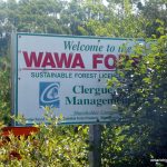
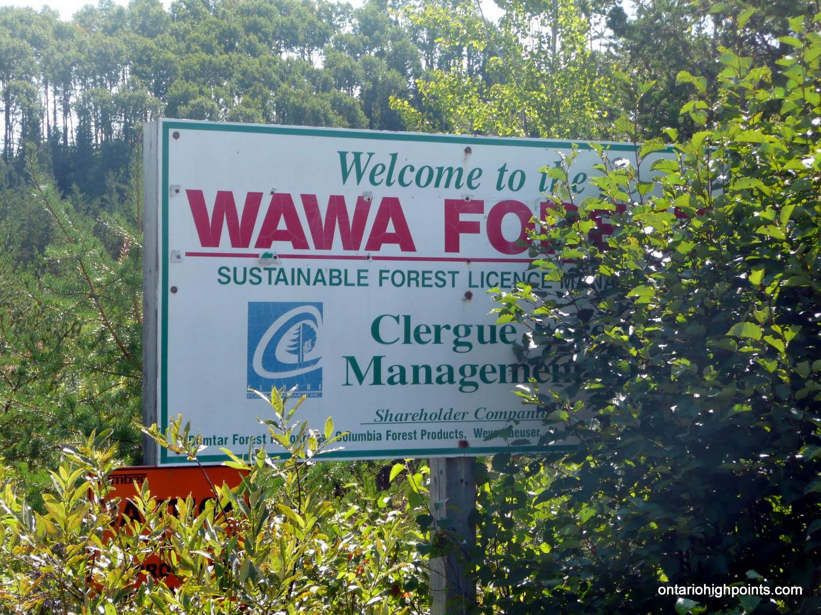
- Welcome to the Wawa Forest
-
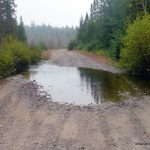
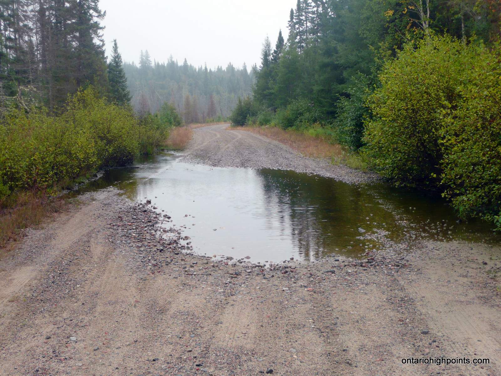
- Flooded Road
-
- Agawa River Bridge Crossing

-
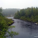
- Agawa River
-
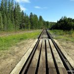
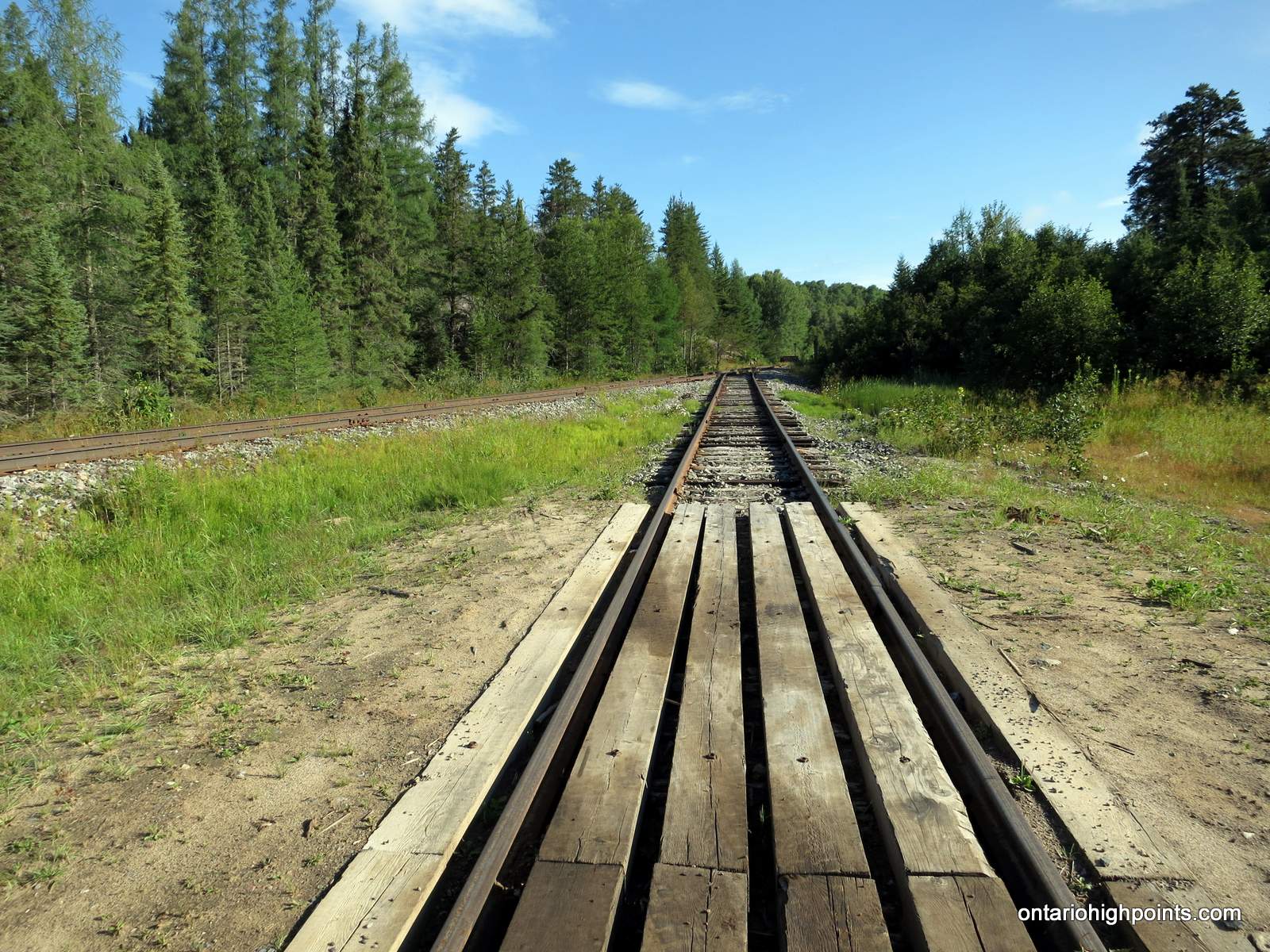
- Algoma Central Railway at Millwood
-
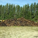
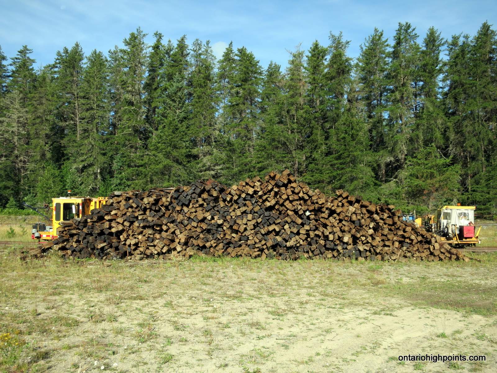
- Pile of railroad ties at Millwood
-
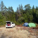
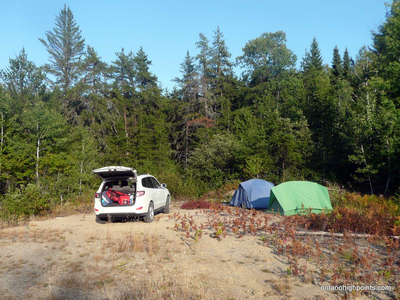
- Gravel Pit Campsite
-
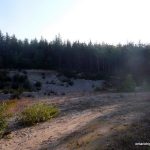
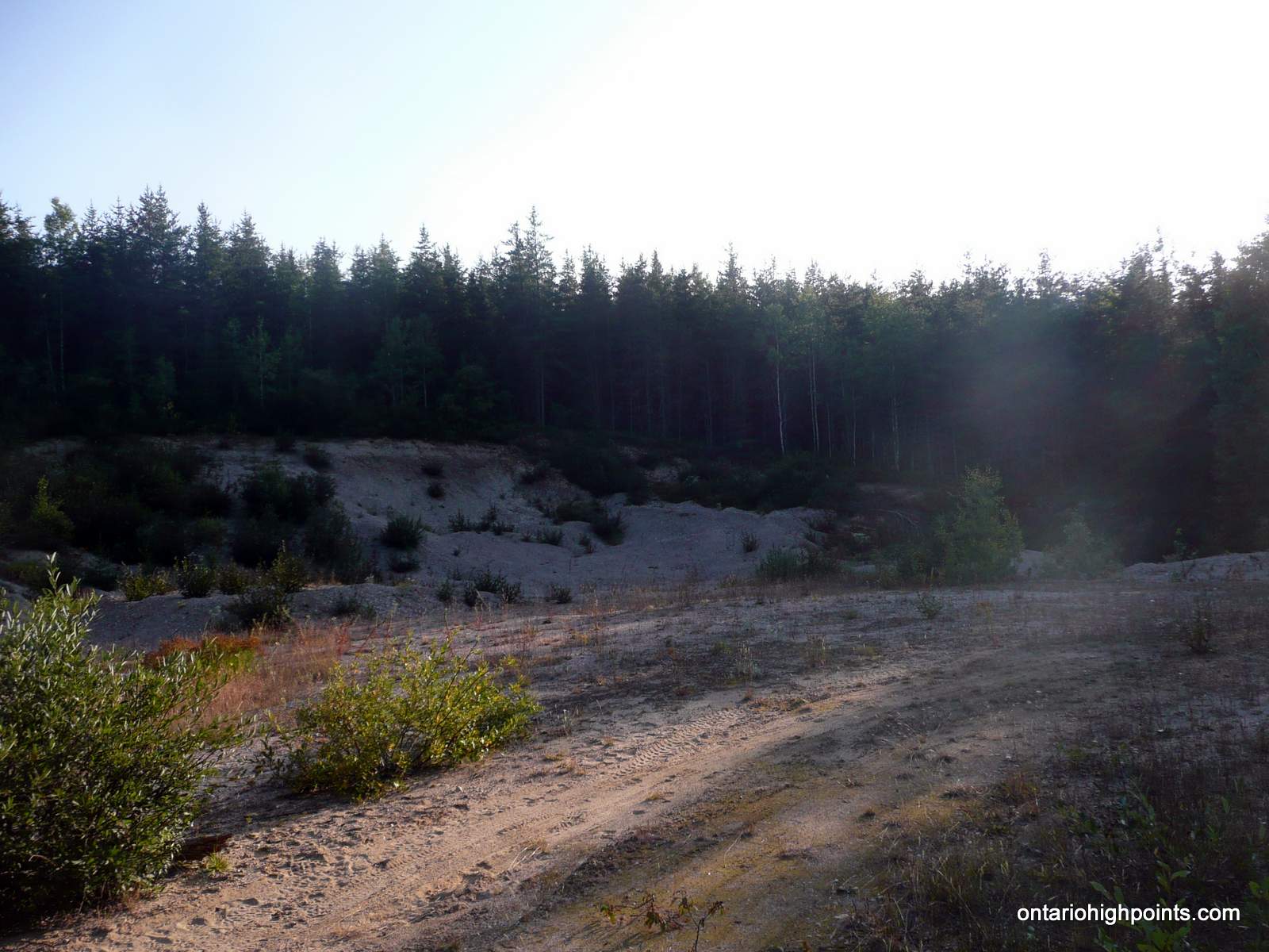
- Gravel Pit
-
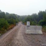
- Rainer Lake Road
-
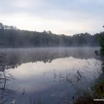
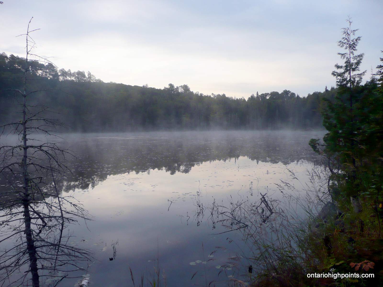
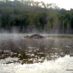
- Mist rising over pond
-
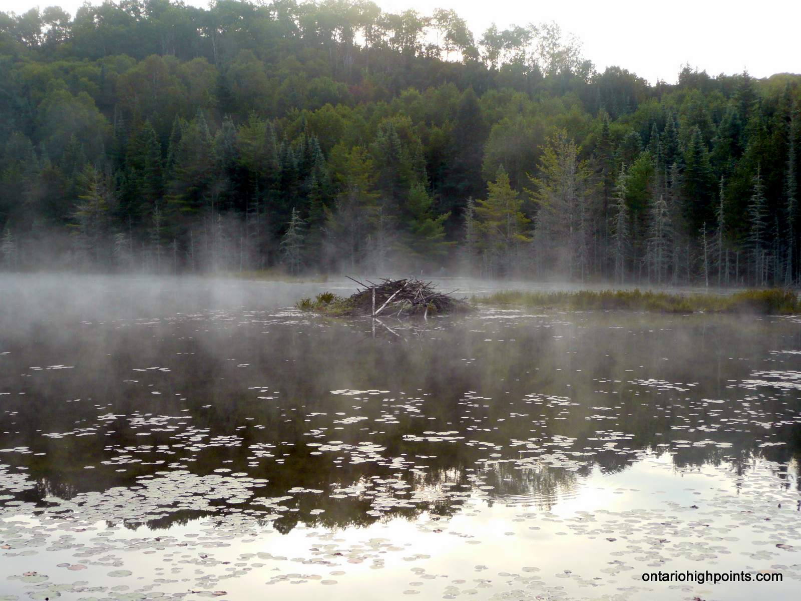
- Beaver Lodge
-
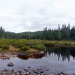
- Parch Creek
-
- Fording Parch Creek
-
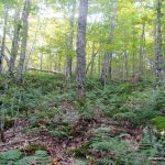
- Bushwhack through deciduous forest
-
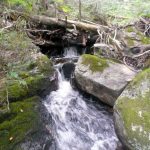
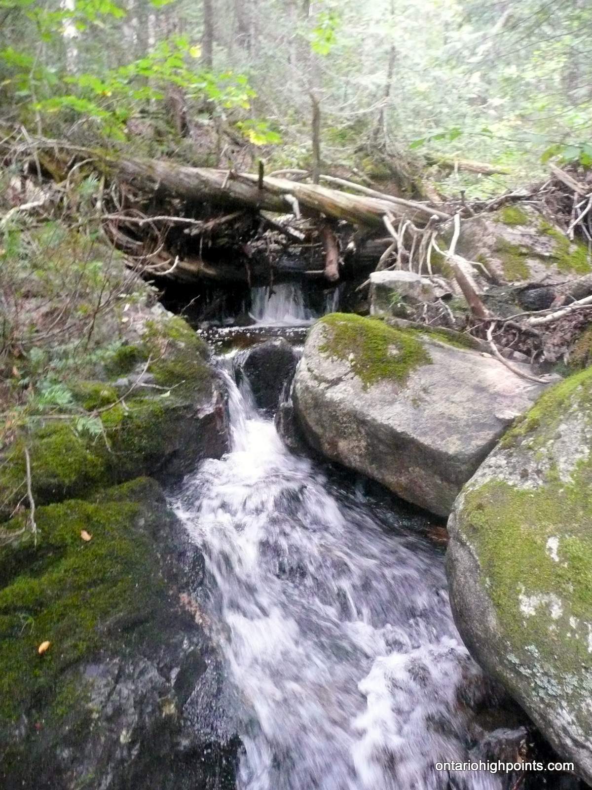
- Small waterfall
-
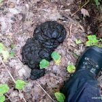
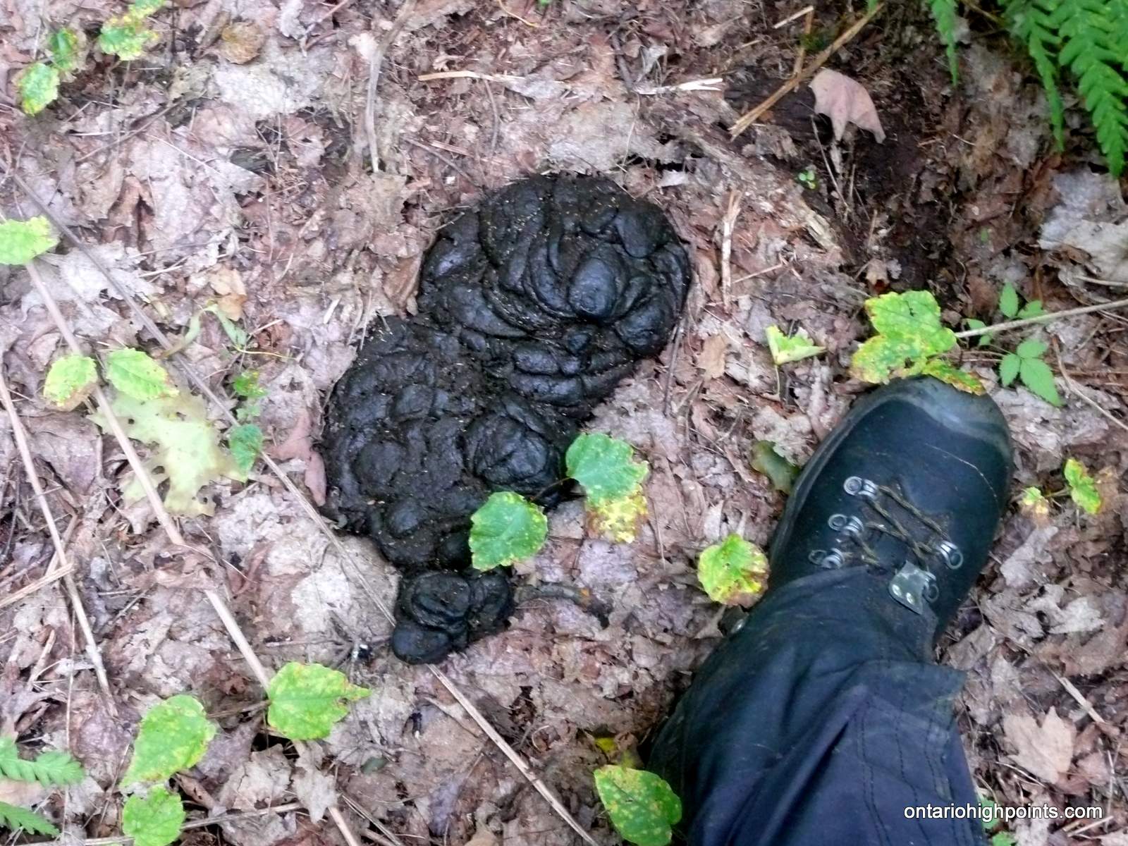
- Bear scat
-
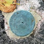
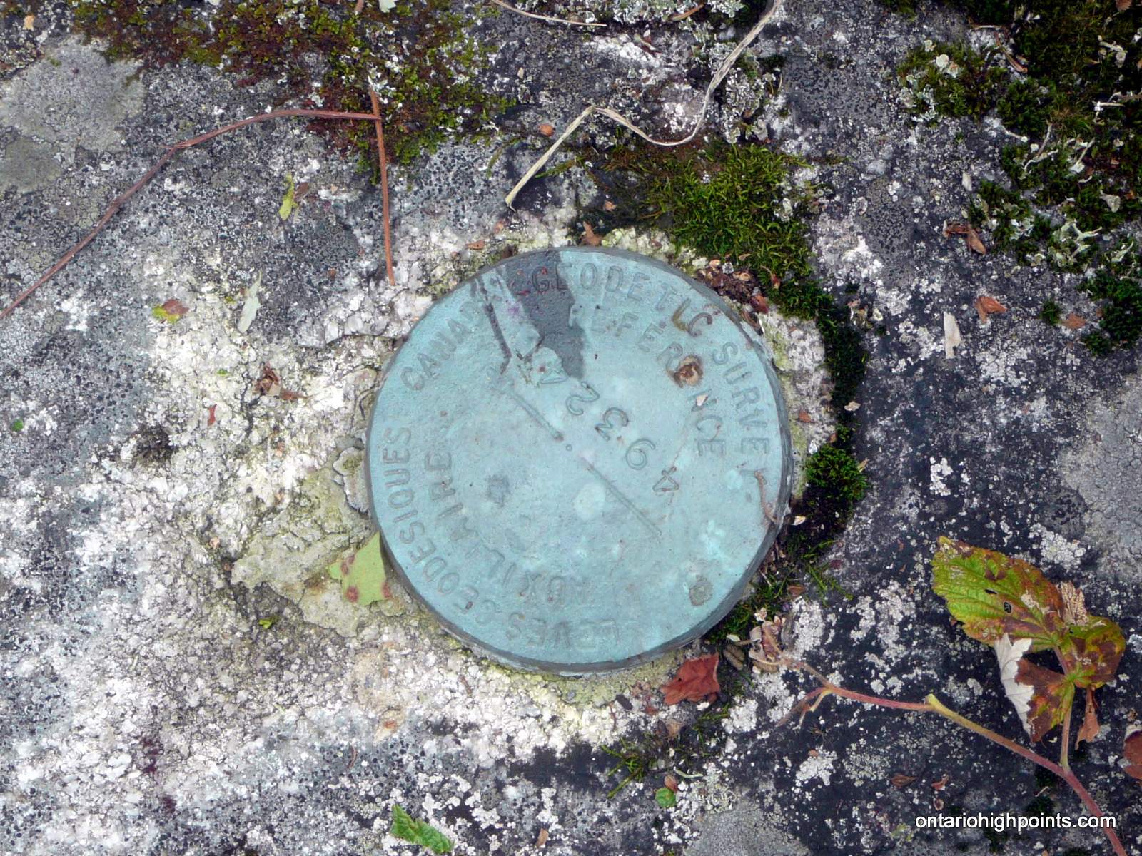
- Geodetic monument #1
-
- Geodetic monument #2
-
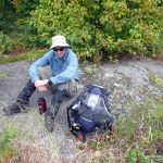
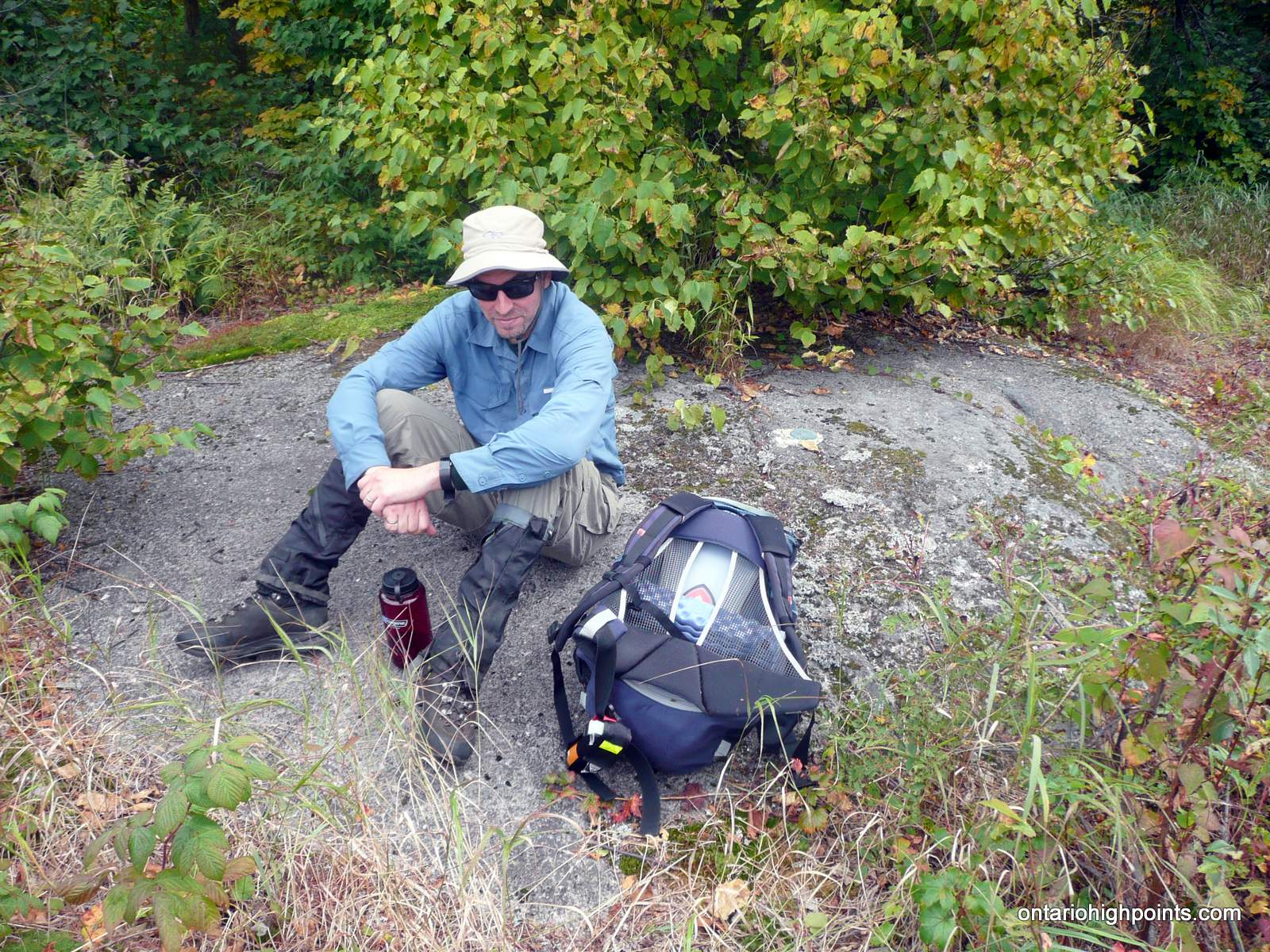
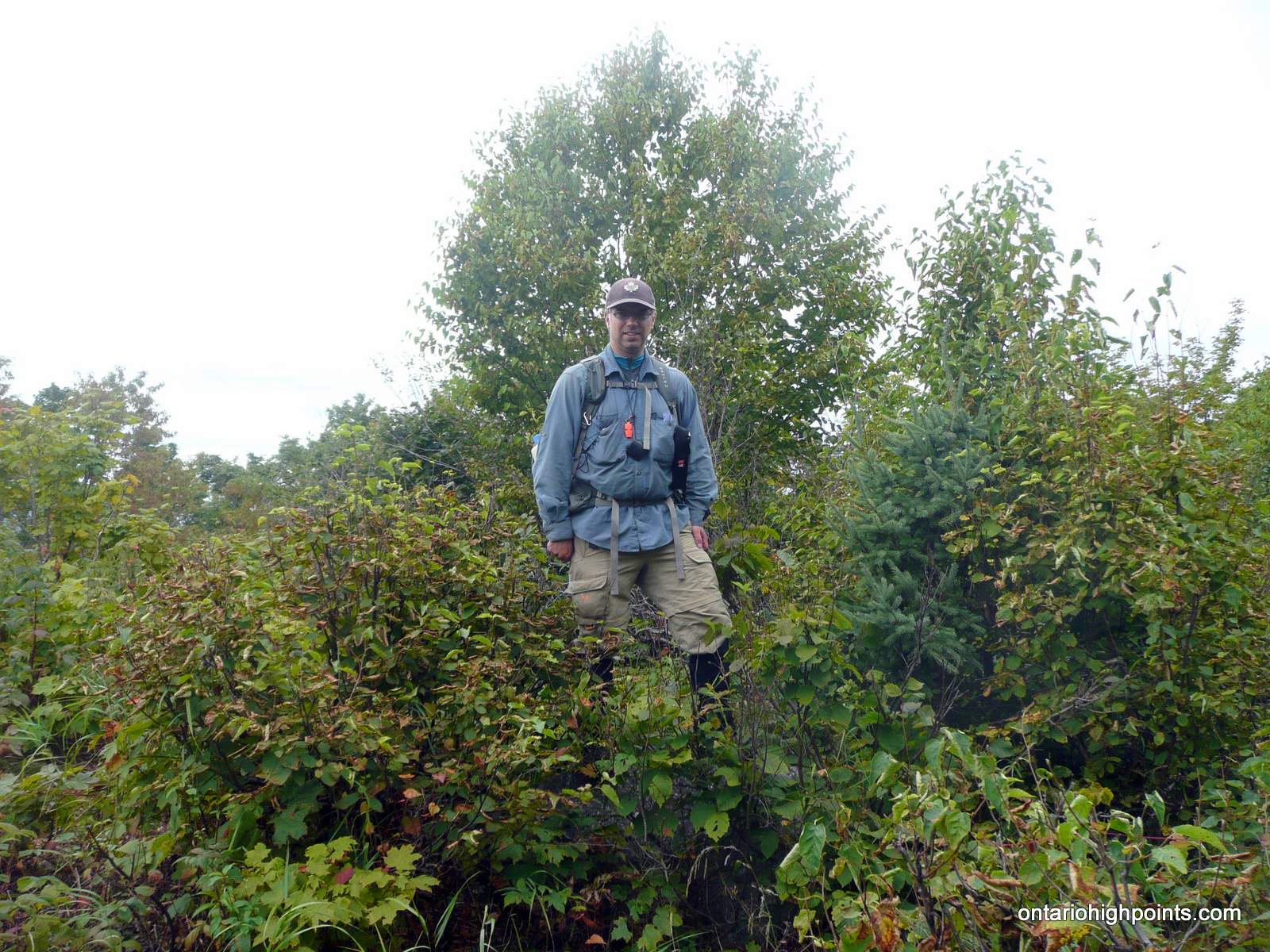
- Anthony at the summit
-
- Summit area
-
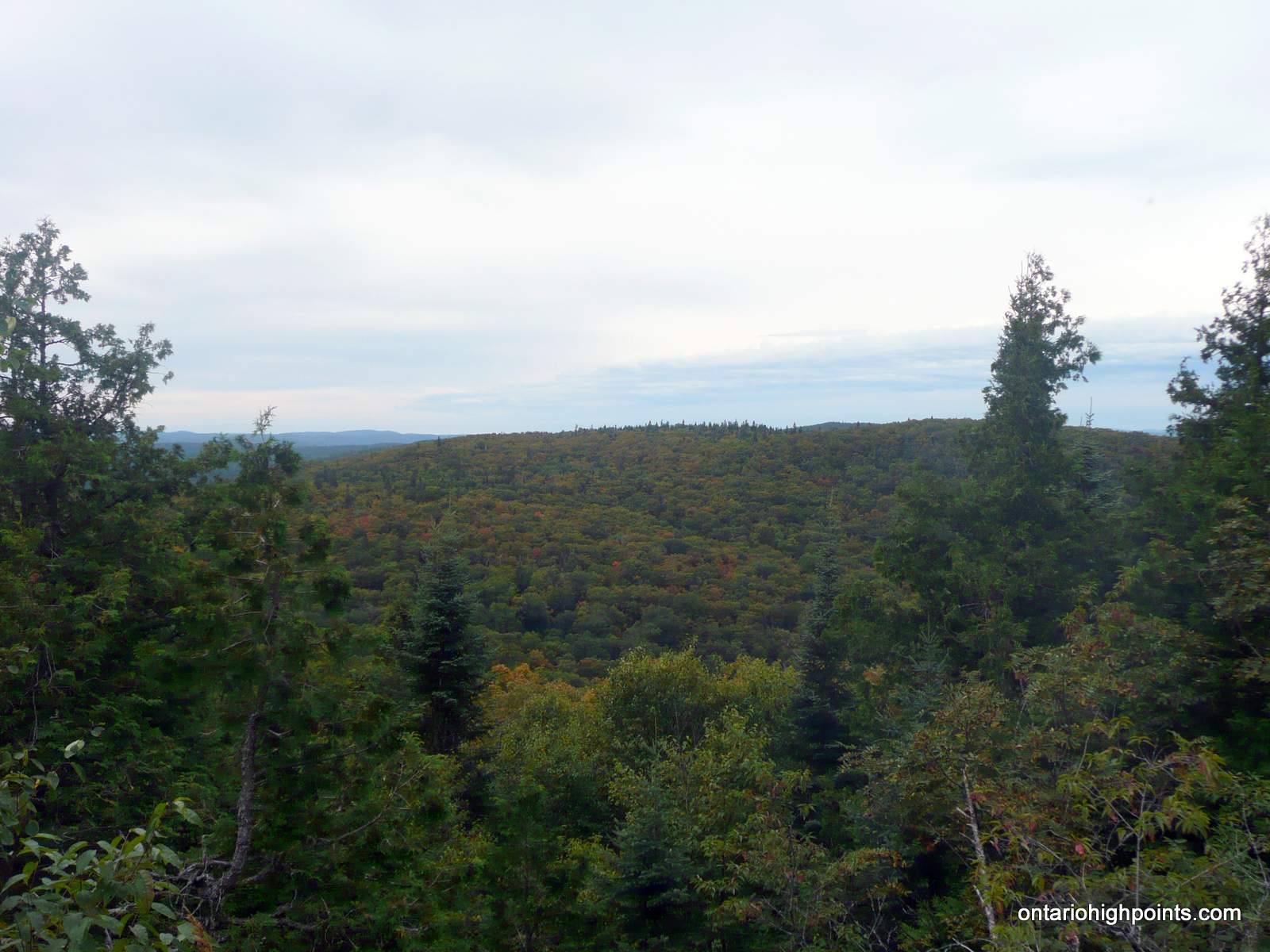
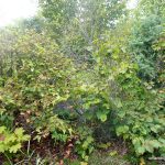
- View of Parch Creek Peak West
-
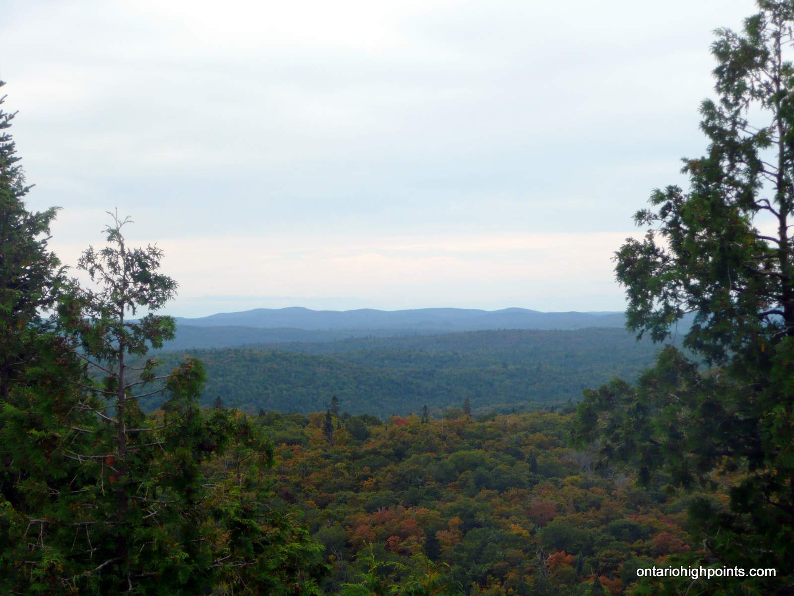
- View West
-
- Nailhead Lake Peak in the distance
-
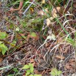
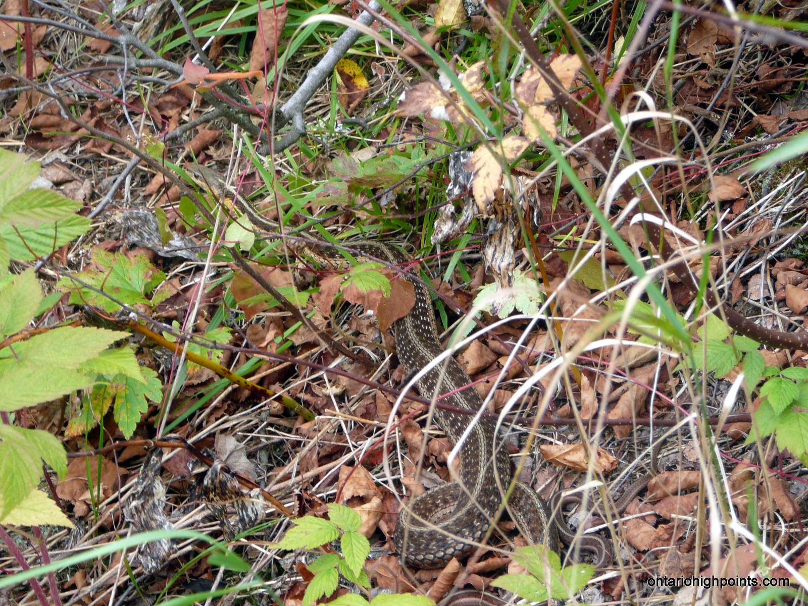
- Garter snake at the summit
-
- Standing on the highest point at the summit
-
- Highest point at the summit

-
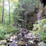
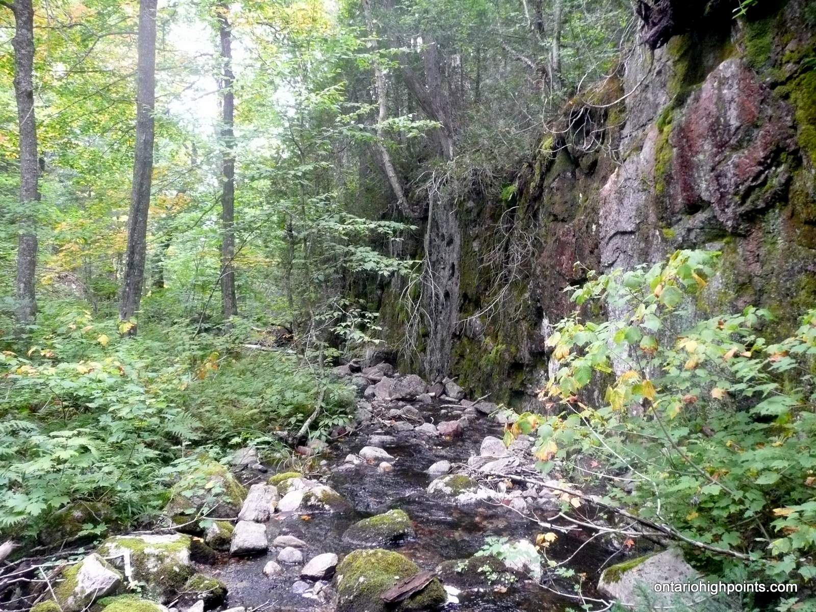
- Steep rock wall along creek
-
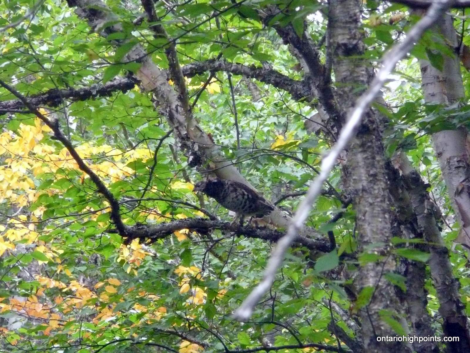
- Grouse in a tree
-
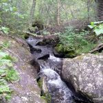
- Small waterfall
-
- Parch Creek Peak East as seen from a clearing on route
-
- Parch Creek Peak East & West as seen from clearing
-
- Overgrown Rainer Lake Road
-
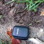
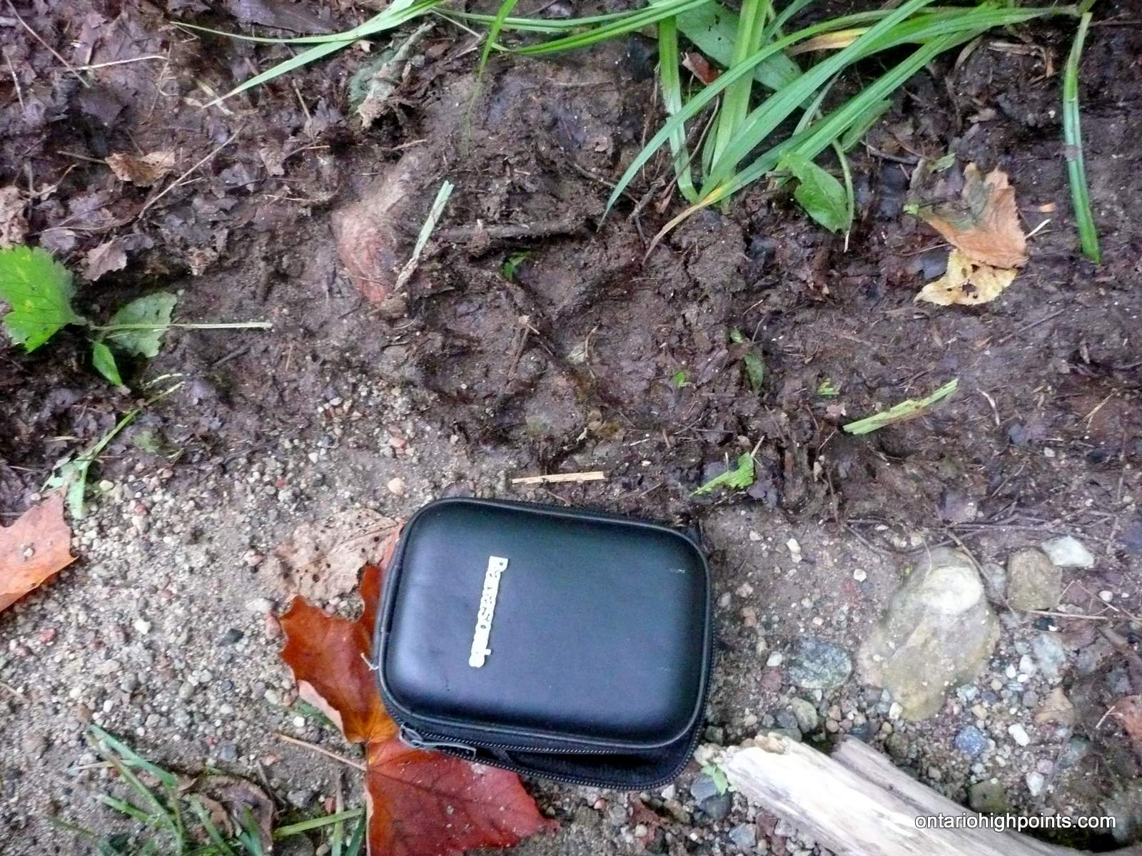
- Wolf paw print
Trip Report:
After 2 previous attempts that were aborted due to poor road conditions, I decided to make a 3rd attempt to climb Parch Creek Peak East. Joining me on this trip was my buddy, Anthony. This was his first Ontario high point. Considering the length and difficulty of the bushwhack, it was not a gentle introduction to these sorts of hikes…
We had driven in, hiked nearby Mt. Baldy and made camp the previous day. We set up our tents beside Millwood Road, at the edge of a gravel pit, 1.2 km west of the Rainer Lake Road turnoff.
After enduring a colder than expected night (0 C), we awoke to a partially overcast and crisp morning. Frost adorned my tent. Light fog rose out of the ponds and rivers, misting the landscape. There was a chance of showers in the weather forecast, but as luck would have it, it never rained during our hike. It would drizzle later that evening after we got back to camp.
After a quick breakfast we drove to the turnoff onto Rainer Lake Road. We departed the truck at 7:30 AM and headed south along the overgrown road.
The brush was a little wet, as the dew that had frozen on the leaves was beginning to thaw in the warming morning air. We found that Rainer Lake Road was easy to follow, despite it being more of a trail than a road. In a few years, these conditions could change, as the forest closes in and reclaims the road.
About 30 minutes into the hike, we heard wolf (or coyote) howls a couple hundred feet up the trail. We made loud noises and blew our whistles which seemed to scare them away. 6.3 km into the road hike we arrived at the bend in the road which I had waypointed as the start of the long bushwhack to Parch Creek Peak East.
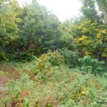
The terrain and ground cover varied throughout the bushwhack. The hills were mostly deciduous forest with light ground cover while the valleys contained more obstacles and thicker bush under a mixed forest canopy.
After 2.1 km of bushwhacking, we arrived at Parch Creek. As it was late summer, the water levels along Parch Creek were near their lowest. The creek was just 12 feet wide, and about 1.5 feet at its deepest point. There were no rocks or logs to cross on, so we changed into our sandals/crocs and forded the creek.
After a several ascents and descents, 3 small creek crossings (no fords required), a couple of pond circumventions, and a final ascent up the Parch Peak ridge, we arrived at the summit of Parch Creek Peak East.
We found 2 geodedic monuments at the summit. I explored the summit, verified that a spot height east of the summit was lower and found some descent views in a rocky clearing just south of the summit.
As fatigue was already setting in, we opted to skip the nearby lower peak: Parch Creek Peak West. We retraced our route back.
Just beyond Parch Creek, we emerged into a rocky clearing that I had misinterpreted as a marsh on satellite images. The clearing presented the opportunity to get some photos of peaks: Parch Creek West and East.
While we were heading out along Rainer Lake Road, I was startled by the sight of a large grayish form dashing towards me. I only caught a brief glimpse of it between the alders. It spotted me and then in one quick elegant motion, turned around and headed back up the road. I had seen a large timber wolf — a first for me. We decided to make a lot of noise on the way out as to avoid any more surprise animal encounters.
We arrived back at the truck at 7:15 PM. We had endured almost 12 hours of hiking over a distance of 25.9 km, including 13.3 km of bushwhacking. We returned to the gravel pit campsite for a second night.
GPS Tracklog (GPX Format):