Kwagama Hill
Posted by Derek on Oct 20, 2014

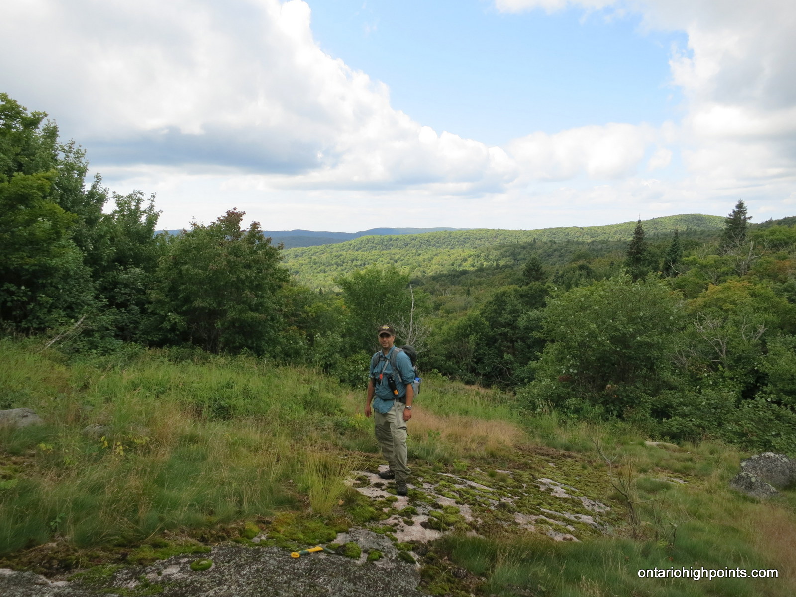
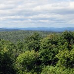
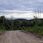
Kwagama Hill in the background
Lat/Lon: N47.4147 W84.5589
Clean Prominence: 978 feet / 298 meters
Line Parent: Blackspruce Lake Peak
Key Col: N47 36.949 W84 31.633 (1115ft / 340m)
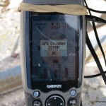
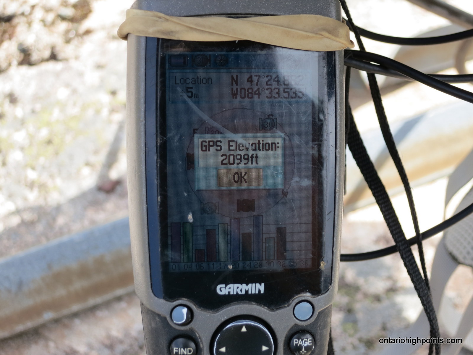
GPS recorded height: 2099 feet / 640 meters
Date Summited: August 13, 2014
Overview:
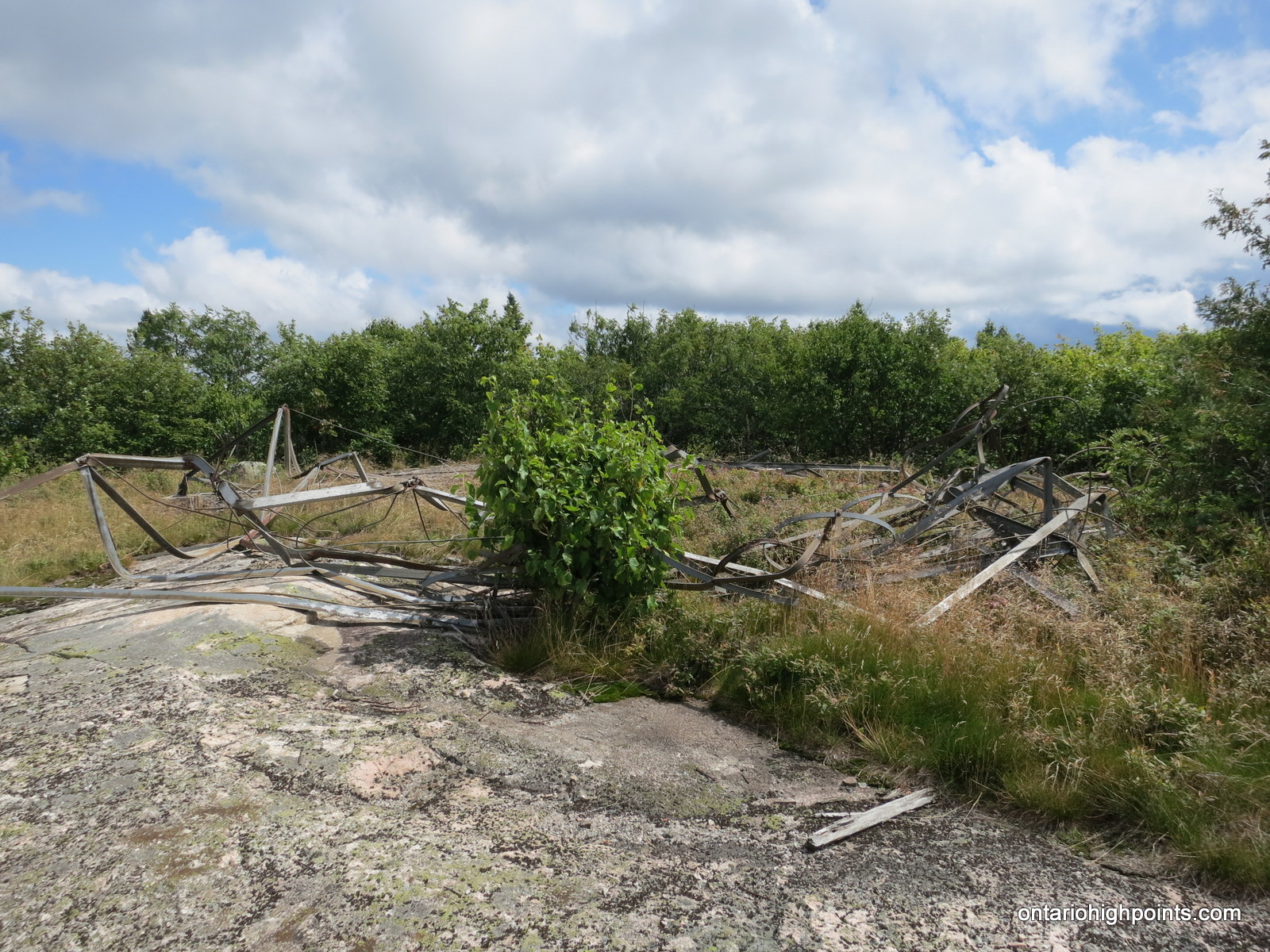
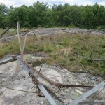
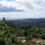
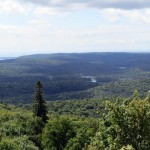
Kwagama Hill is a mountain 6 km due west of the popular Algoma tourist attraction, the Agawa Canyon, which is serviced by the Agawa Canyon Train Tour from Sault Ste Marie. Even though the area is fairly popular for backcountry excursions, there are very few trips up to Kwagama Hill. There was a fire tower on the summit of the peak, however it was knocked down in a heavy ice storm in 1965. The twisted metal remains are still visible today. The summit of Kwagama Hill affords outstanding views west to Lake Superior.
Directions:
As Kwagama Hill is a remote destination, direct approaches to it are long and difficult. However as of 2014, a newly created logging road passes within 1.7 km of the peak, making it a relatively short hike up and back, the caveat being that one must drive 76 km along rough logging roads from the nearest highway to get to the start of the hike. Directions via this route as follows:
From Sault Ste Marie, drive north along Hwy 17 for 136 km to the turnoff to Frater Road. (20.5 km north of the Montreal River crossing). Turn left (east) onto Frater Road and begin the 76 km drive along logging roads that follow a roughly 270 degree counterclockwise arc. At kilometer 7 (from Hwy 17), cross the Algoma Central Railway line at Frater and continue northeast along the road.
The road is gated at kilometer 16 and although it is often open, it would be advisable to get the combination for it beforehand in case it is closed. 3.2 km beyond the gate (19.2 km from Hwy 17) the road forks. You should proceed left at the fork and take the newer road that bypasses some steep and rough sections on the old road. Frater Road terminates at Sonny Lake Road at kilometer 37.2, at which time you should turn left onto Sonny Lake Road.
Follow Sonny Lake Road north until it terminates at Jeff Lake Road at kilometer 44.6. Turn left onto Jeff Lake Road and follow it west to the steel bridge crossing at the Agawa River at kilometer 61.1. Just past the steel bridge, Jeff Lake road terminates at a T-intersection with the Sand River Road. Turn left and head south along the road. Follow the road for 10.3 km, making sure to take the appropriate turns as indicated in the GPS track: Right at 3.7 km, Left at 4.2 km, Left at 4.9 km, Right at 7.1 km, and Left at 7.7 km.
At kilometer 71.4 (10.3 km from the steel bridge), turn left off of the Sand River Road and follow a series of new logging roads south for 4.9 km to a pulloff at a bend in the road (at N47 25.783 W84 33.195). This is the closest point along the road to Kwagama Hill. Begin the bushwhack here.
Head south into the forest and follow a small creek for 500 meters up to a saddle between 2 hills. Once reaching the col (top of the saddle), proceed west for 600 meters while navigating the side of a steep and thickly forested hillside that forms the edge of a bowl. After reaching it’s western edge, follow the bowl south for 400 meters to the col which marks the northern edge of Kwagama Hill’s northern ridge. Proceed south up the ridge for 1.0 km to the summit of Kwagama Hill.
View a larger version of the map
Trip Summary:
00.0 km – Turned onto Frater Road from Hwy 17 (9:21 AM)
07.0 km – Arrived in Frater / ACR line (9:35 AM)
16.0 km – Passed open gate on Frater Road (10:02 AM)
37.2 km – Turned left onto Sonny Lake Road (10:55 AM)
44.6 km – Turned left onto Jeff Lake Road (11:07 AM)
61.0 km – Crossed Agawa River at Eton (11:35 AM)
71.4 km – Turned left onto new road / crossed Wizard Creek (12:05 PM)
76.3 km – Closest point along road to Kwagama Hill / parking (12:44 PM)
00.0 km – Start of bushwhack to Kwagama Hill (1:04 PM)
01.6 km – First views along ridge up to Kwagama Hill (1:55 PM)
02.5 km – Arrived at summit of Kwagama Hill (2:24 PM)
00.0 km – Departed summit (2:55 PM)
02.8 km – Arrived back at road / parking spot (4:11 PM)
00.0 km – Departed parking area alongside new road (4:30 PM)
76.3 km – Arrived at Hwy 17 (6:45 PM)
Trip Report:
For the past year, Dan and I had been looking for a viable one day approach to Kwagama Hill. Because of its proximity to Lake Superior Provincial Park to the south and west, which has strict rules on road construction and usage through the park, and the Agawa River, with its potential for high water levels to the south and east, our options were limited. After a chance examination of DigitalGlobe’s latest satellite acquisitions for the area, I spotted a new logging road northeast of the mountain. By driving 76 km along a series of roads, starting from Hwy 17: Frater, Sonny Lake, Jeff Lake, Sand River and this new road, we could get to within 1.7 km of the peak (as the crow flies).
Dan was able to track down an owner of a camp in the area and he mentioned that the roads were in good shape — we shouldn’t have any problems driving a 4×4 truck to Eton; a stop along the ACR (Algoma Central Railway) on our way to Kwagama. In fact they were building some new sections of road to bypass some of the rougher sections. We were all set for an attempt to climb Kwagama Hill.
I arrived at friends Jack and Anne’s place in Heyden, a small community just north of Sault Ste Marie a day early, after making a detour to Manitoulin Island to re-climb the Cup and Saucer. The next day, Dan arrived at 7:00 AM to pick me up and after packing my gear into his Forerunner truck we were off, travelling north on Hwy 17. We stopped at our usual breakfast place: the Voyageur Cookhouse at Batchawana Bay and then continued north, eventually reaching Lake Superior Provincial Park. 122 km from Heyden, we reached the turnoff onto Frater Road — one of the few logging/forest access roads allowed through the park. We turned right onto the gravel road and headed cautiously into the Algoma wilderness.
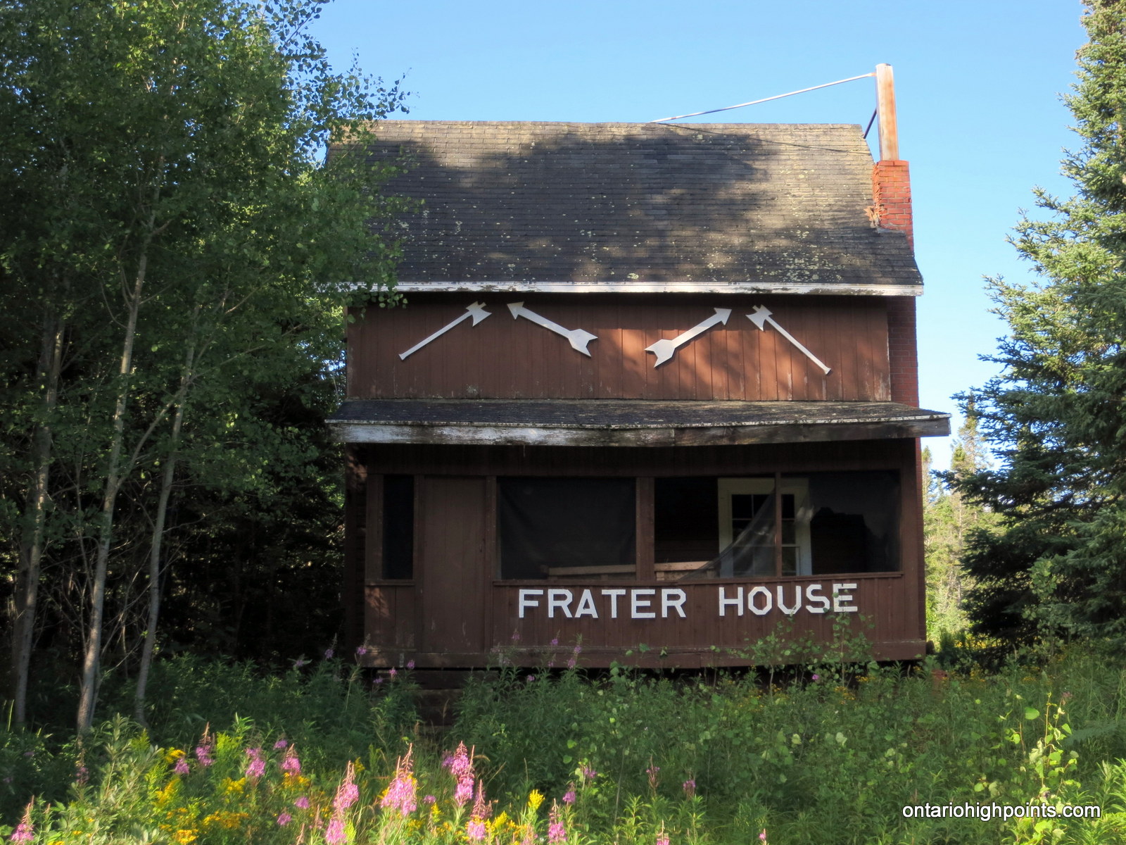
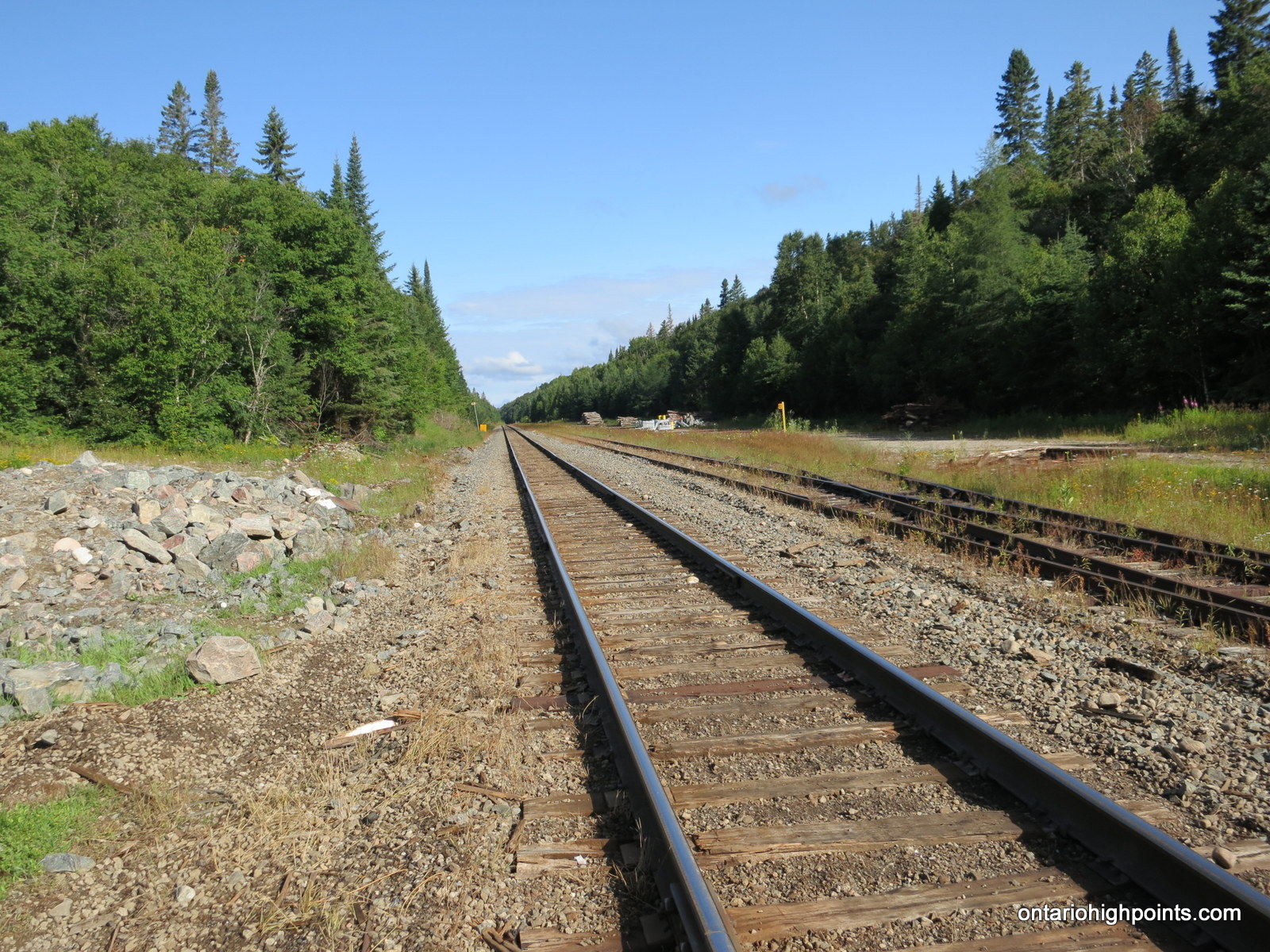
A short time later, we passed a small parking area for the Towab Trail, which is a 24 km linear (in and out) trail to the Agawa Falls. We reached Frater a short while later, at kilometer 7, where we were greeted by a small community of cottages (camps) situated along the Algoma Central Railway. On the final descent to the tracks, we spotted the old section house which had been converted to a private cottage. After taking photos, we crossed the tracks and headed northeast up the road.
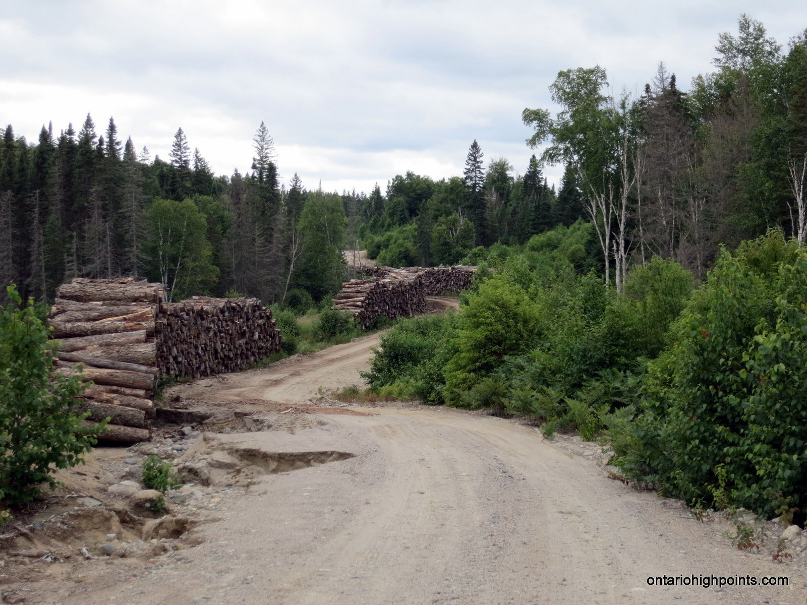
At kilometer 16, we arrived at a gate. This day it was open, so we didn’t have to try out the combination we had been given. 3 km beyond the gate, we arrived at a fork in the road. The GPS road track I had traced on Google Maps indicated that we were to head right, however the road to the left looked newer and in better condition. We concluded that the newer road was probably a re-route of the main road, but since we couldn’t be sure, we decided to stick to our GPS track and turned right onto the older road. The road quickly deteriorated as we descended down a hill, but we continued on. After passing a unique private camp (KOMA), we intersected the other end of the road re-route. The road improved again and we decided that on the way back, we would take the newer road.
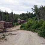
At kilometer 37.2, we turned north onto Sonny Lake Road and passed a logging camp. A few km beyond that, we drove by stacks of old logs lining each side of the road. We were perplexed as we had a hard time believing that someone would go to all the trouble to cut and stack the logs and then leave them there.
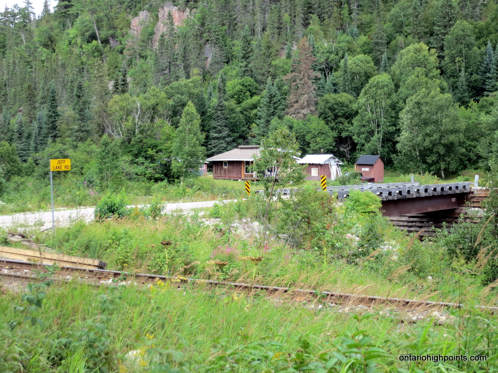
At kilometer 44.7, we arrived at the T-intersection with Jeff Lake Road. To the east, the road appeared to run through a gravel pit, and to the west, where we were headed, the road ran to the ACR line near Eton. Jeff Lake Road was in good condition and we made good time following the road through the valleys as we headed west. Finally we arrived at a steel bridge which spanned the Agawa River. As we crossed, we noted that the Agawa River’s flow was significantly lower this year — if we had to we wouldn’t have had any trouble crossing it on foot.
Beyond the bridge, we were presented with another T-junction. After deviating right to check out Eton, 1 km to the north, we then headed south (left) along the Sand River Road, a road that which once ran through Lake Superior Provincial Park, but now terminates at the eastern boundary of the park. Initially, the road paralleled the western shore of the Agawa River, but after 2.7 km it turned southwest. After meeting up with Wizard Creek the road turned again, this time to the northwest.
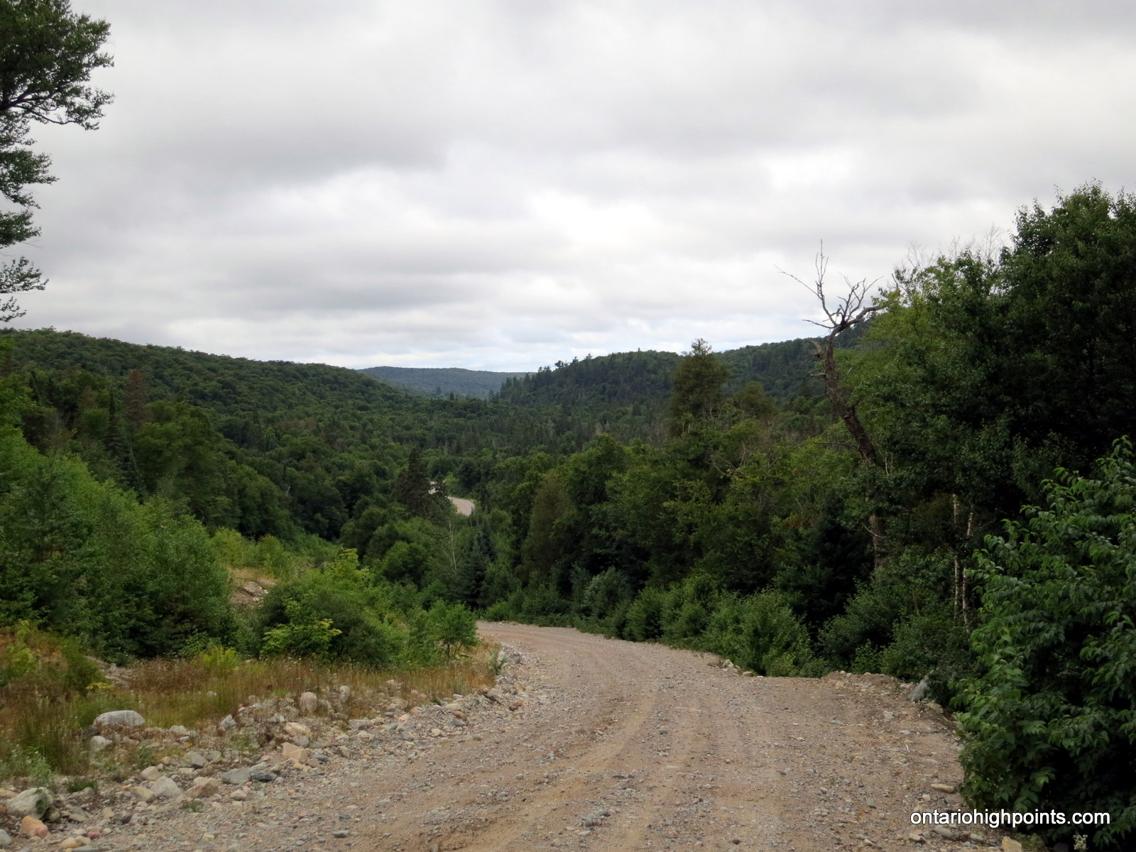
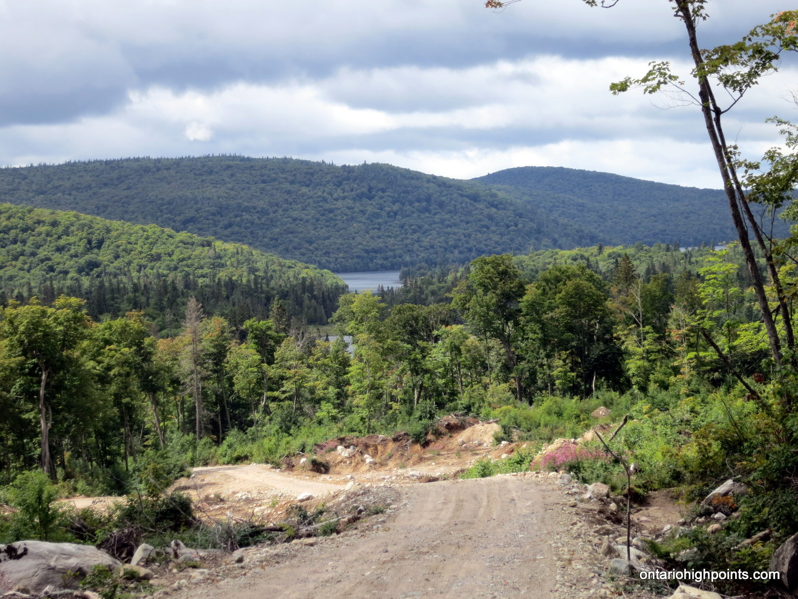
At kilometer 71.4, we turned off of the Sand River Road and headed south along an assortment of newer roads. We rounded the north side of ‘Wizard Mountain’ and as the road began a steep descent, we were presented with some nice views of Royal and Kwagama Lakes. Just as we were taking pictures, a couple of cottagers on a side-by-side stopped to chat with us as they were coming up the hill. After a brief discussion regarding our intentions to hike up Kwagama Hill, we parted ways and continued down the hill along the newly created road.
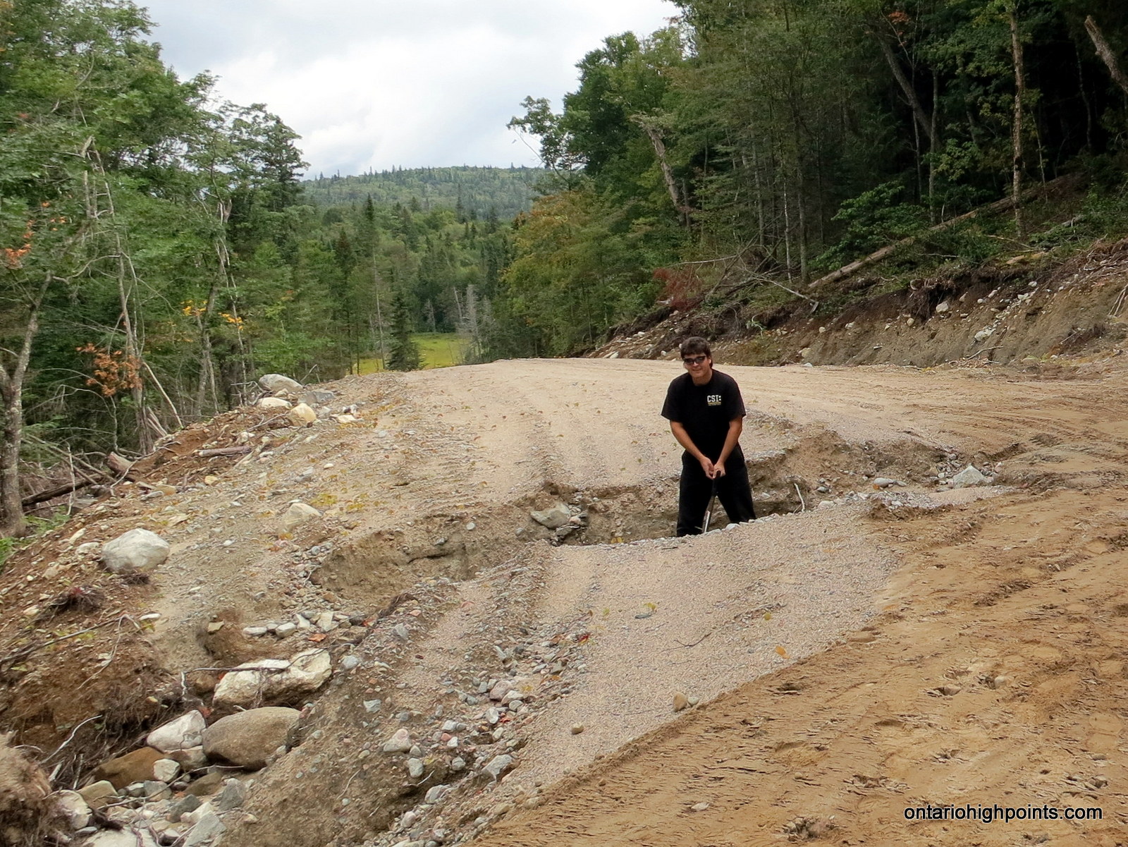
A short time later, we arrived at a washout along the road. Both Dan and I had come prepared for this and brought some shovels to fill in the trench that blocked our journey. After the repairs, we resumed our drive and arrived at the coordinate which, according to the satellite image I was using, was the end of the road. This turned out to be incorrect as the road had been extended since the image acquisition, and we were able to drive another 750 meters closer to Kwagama Hill. We parked at the closest approach; a pull off at a turn in the road and suited up for the hike.
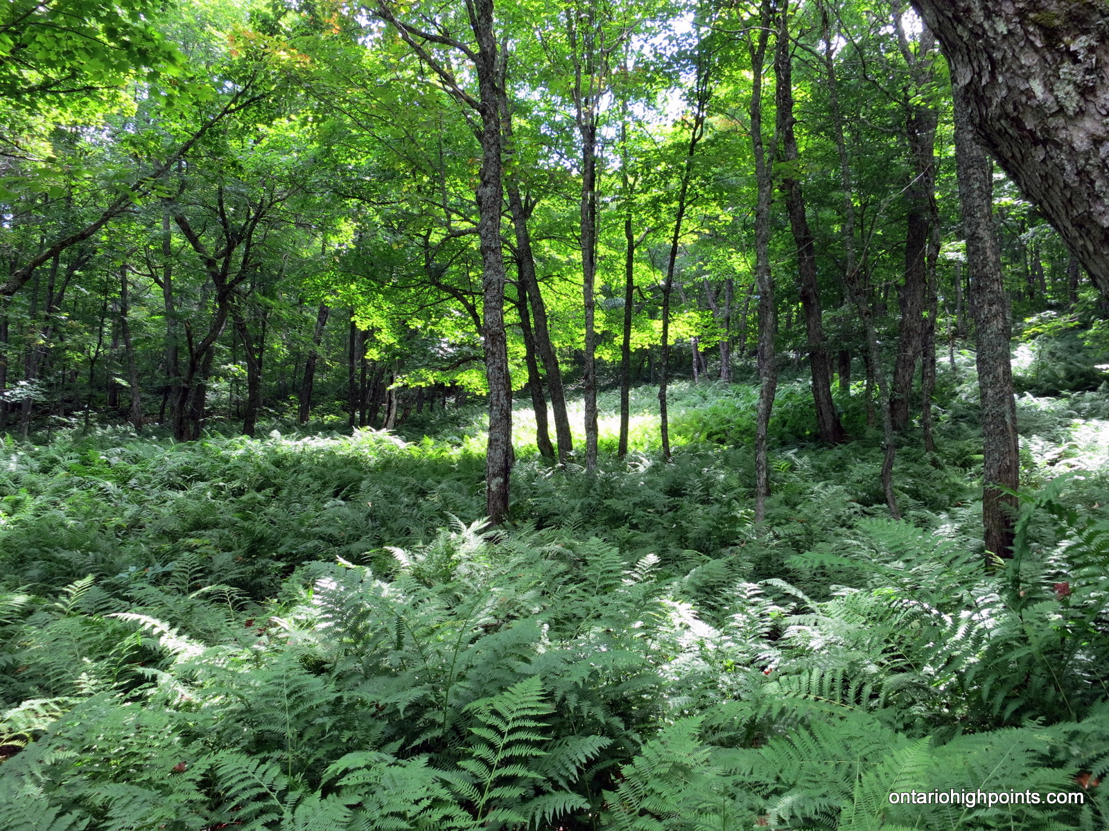
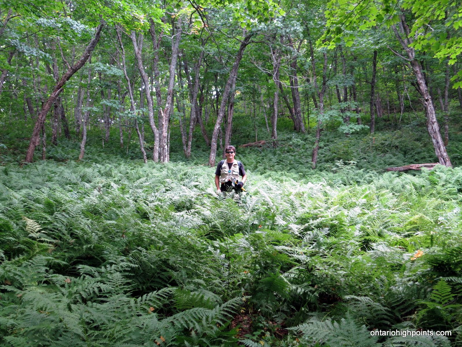
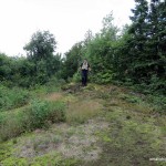
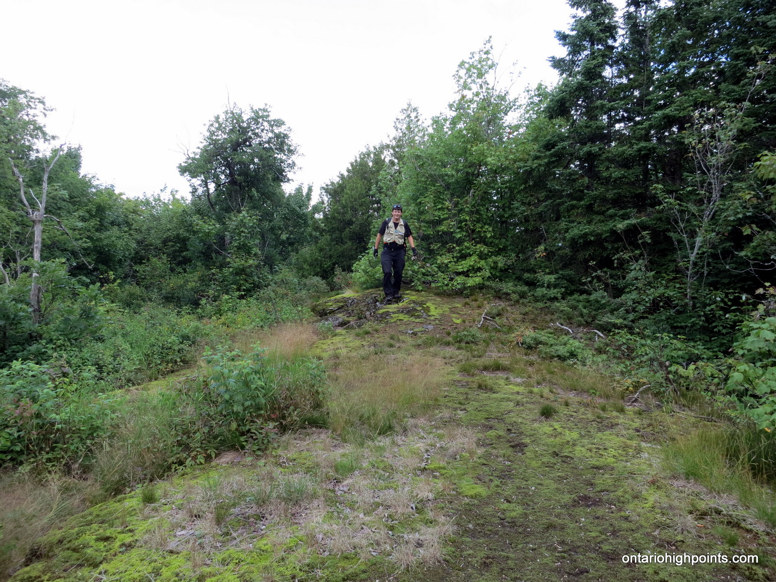
We initially followed a small creek through a beautiful fern carpeted forest, gradually ascending up a to a saddle between 2 hills. After reaching the col, we maintained our elevation and rounded the western hill along it’s steeper southern flank through much thicker bush. After much thrashing, we made it to more moderately angled landscape and began an easier bushwhack south to another saddle. After reaching this 2nd col, we began the moderate ascent up the northern ridge of Kwagama Hill. As we gained elevation, the forest started to give way to open areas which allowed us to enjoy the views.
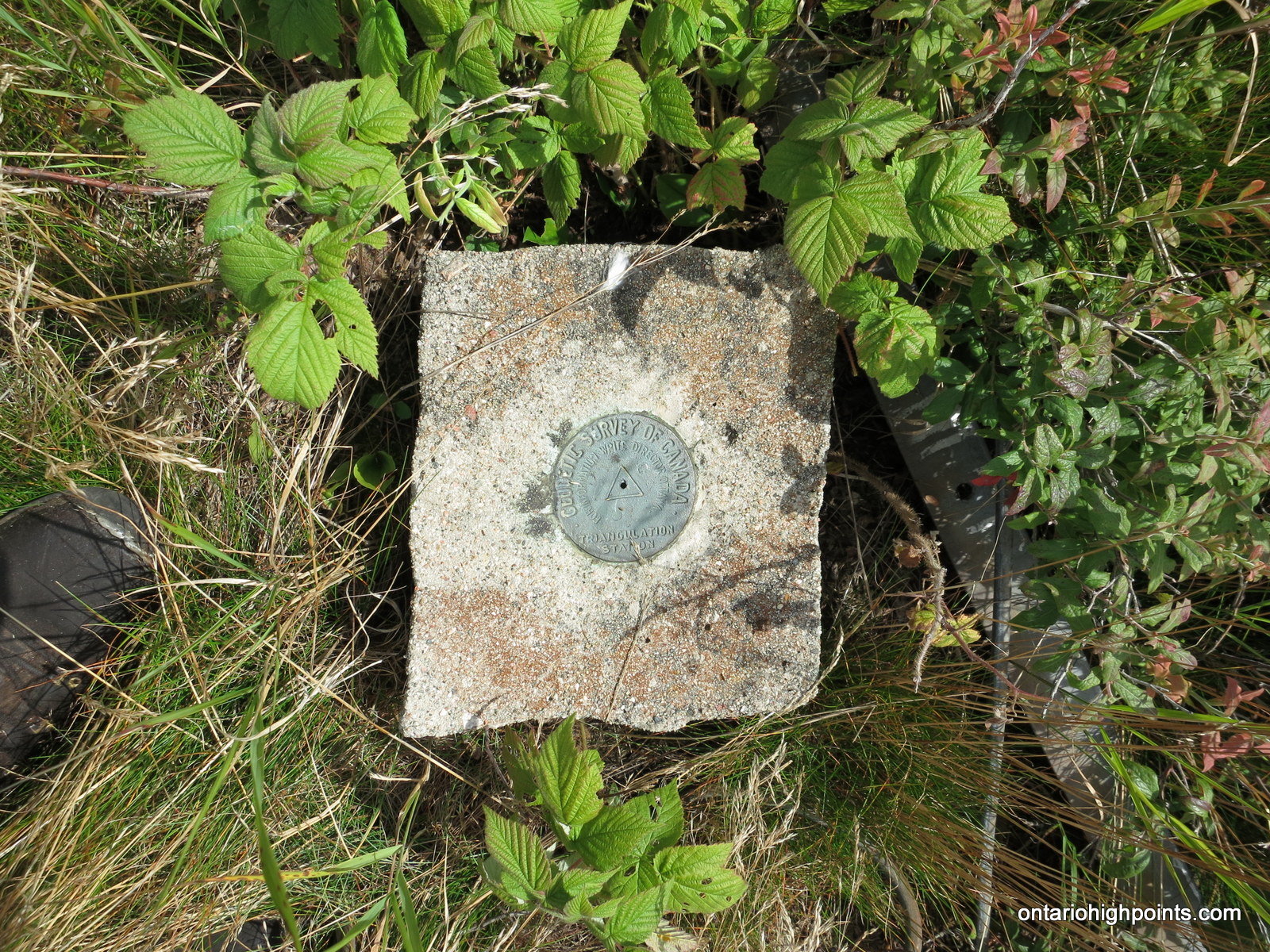
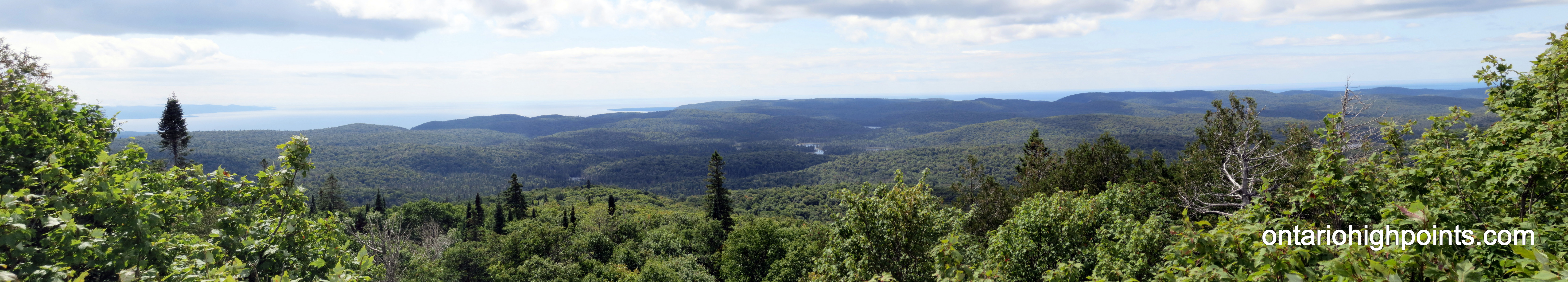
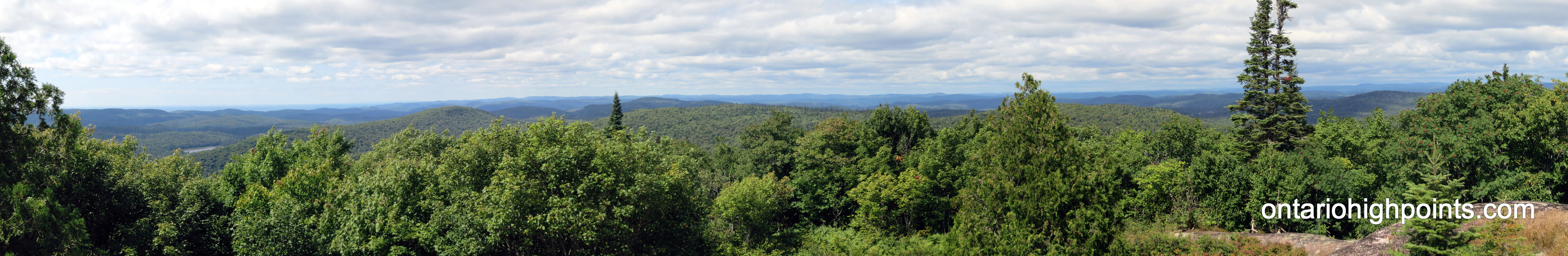
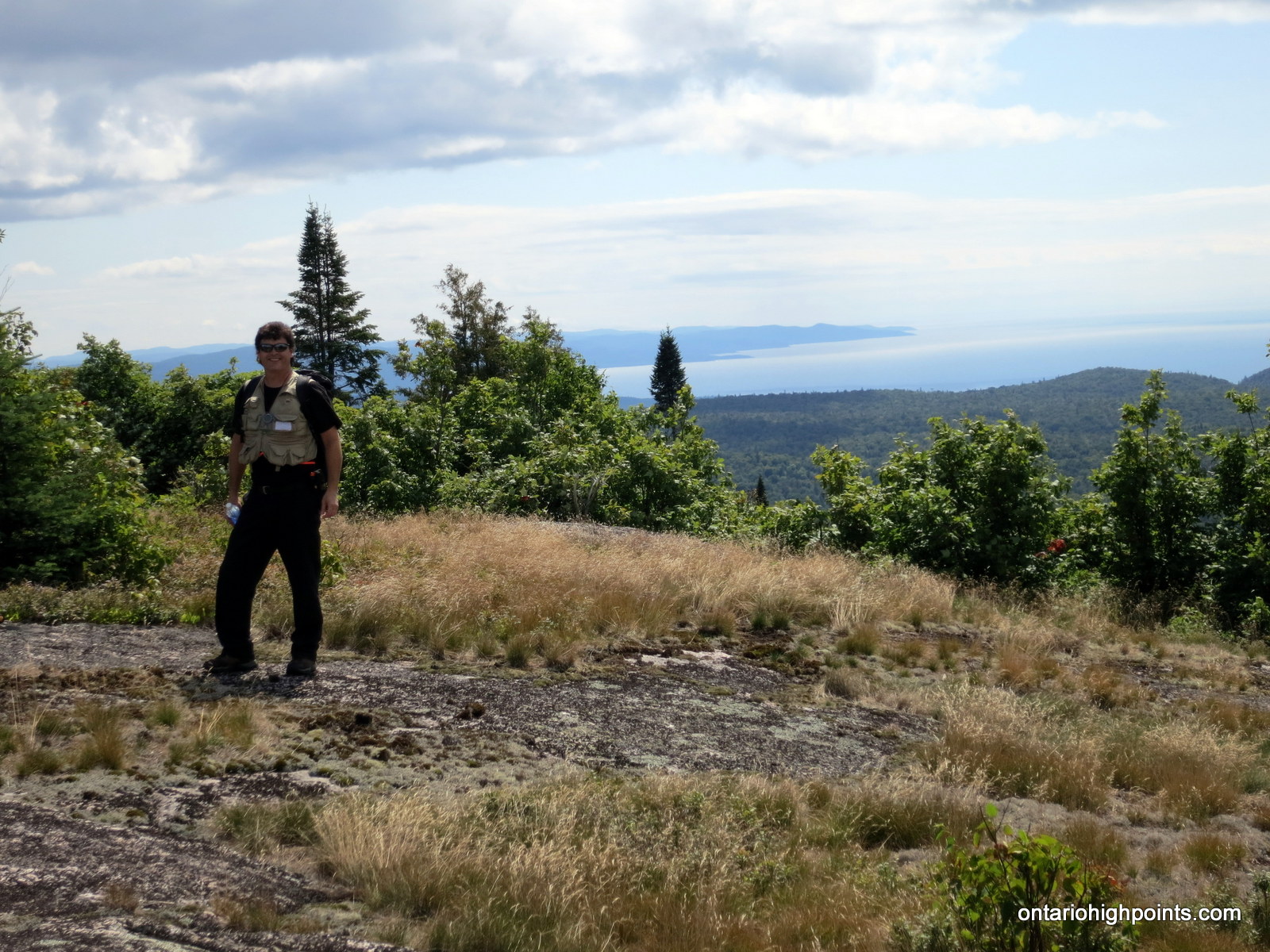
Excellent views west to Lake Superior and north to the rolling hills of Algoma greeted us when we reached the summit. We found the highest point on the mountain near the wreckage of a fire tower which had been blown down during a ice storm in 1965. At the summit, we took photos of the panoramic landscape, discovered a geodetic marker under the fire tower wreckage and enjoyed some food and refreshments.
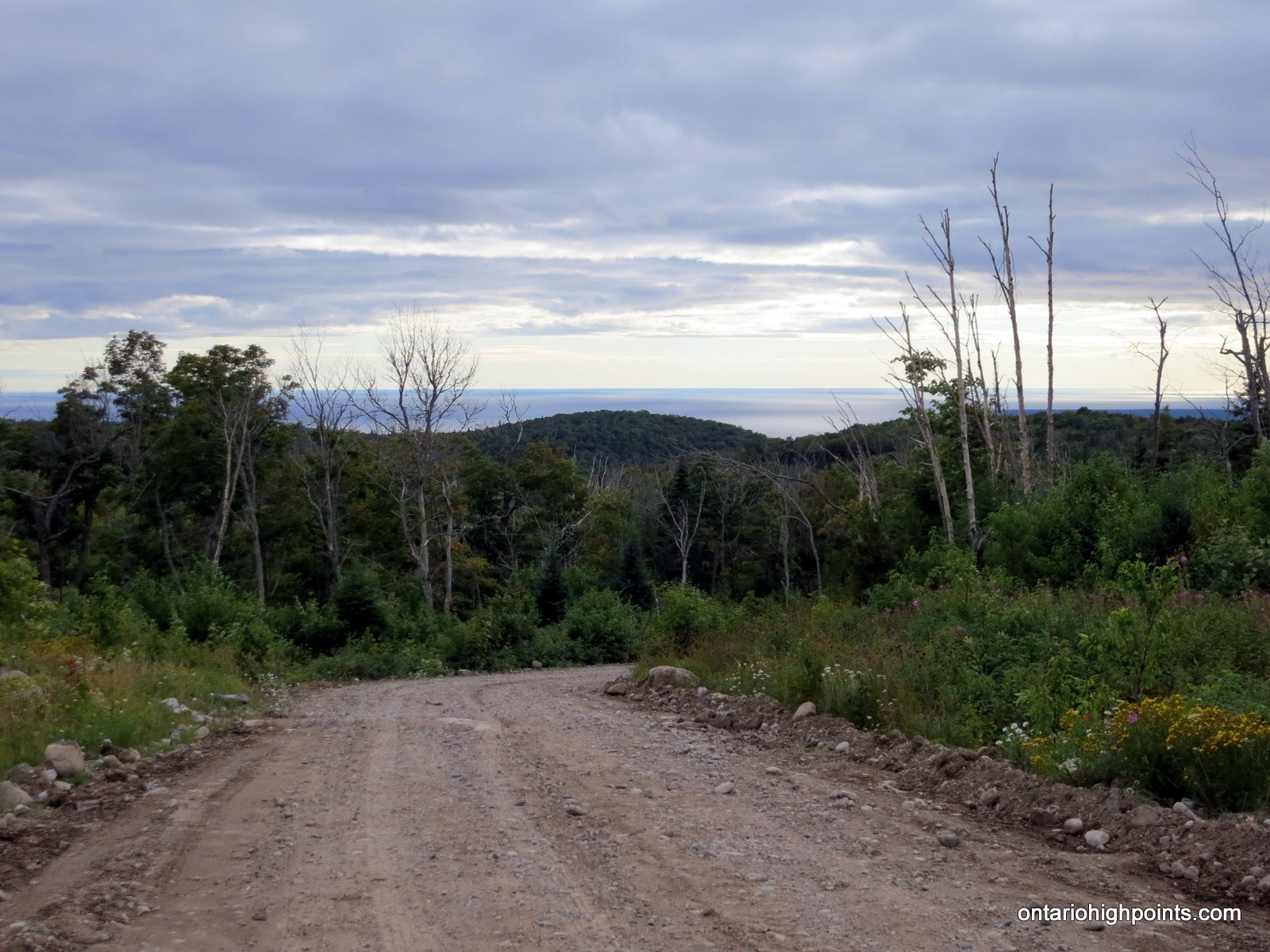
Before long, it was time to head back down the mountain, so we reversed course and followed our track out. We arrived back at the truck in a little over an hour and then began the long 76 km journey back along the logging roads. We had no difficulties with the drive out and we even managed to catch some of the sunset atop a high ridge near Frater. When we finally reached Hwy 17, we turned north and headed for our overnight accommodation in Wawa. The next day, with our plan to ascend Parch Creek Peak East scuttled by an inaccessible road, we would find another worthwhile climb in Mount Baldy.
Gallery:
-
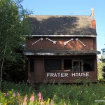
- Frater – ACR Section House
-
- Algoma Central Railway at Frater
-
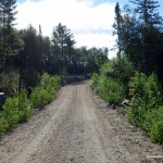
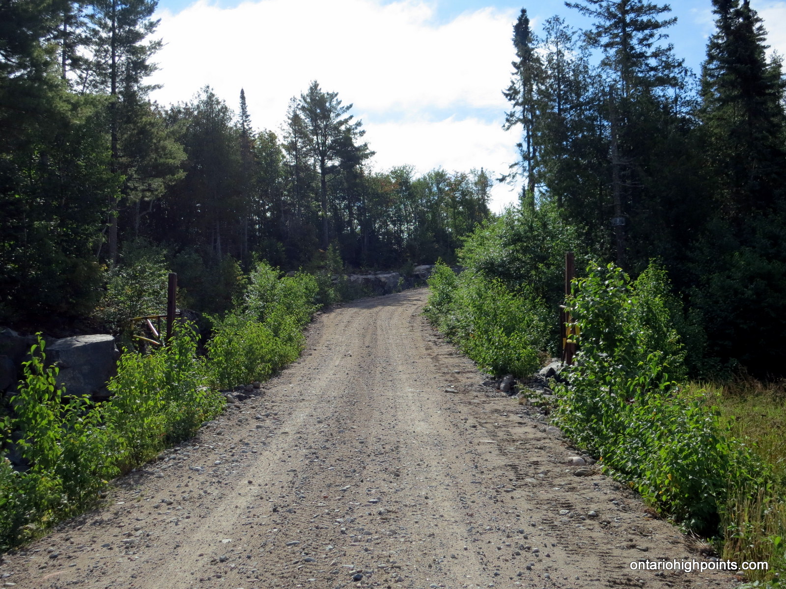
- Gate on Frater Road
-
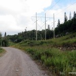
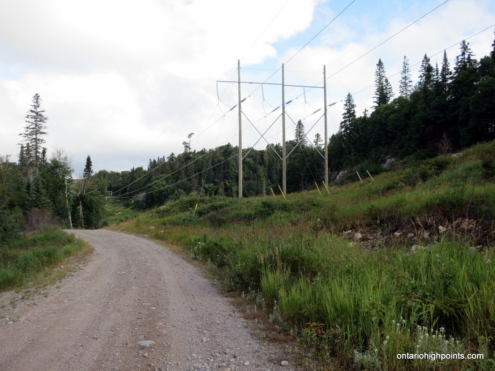
- Hydro corridor along Frater Road
-
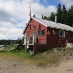
- Camp ‘KOMA’
-
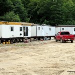
- Logging camp
-
- Old logs stacked alongside Sonny Lake Road
-
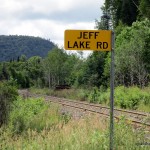
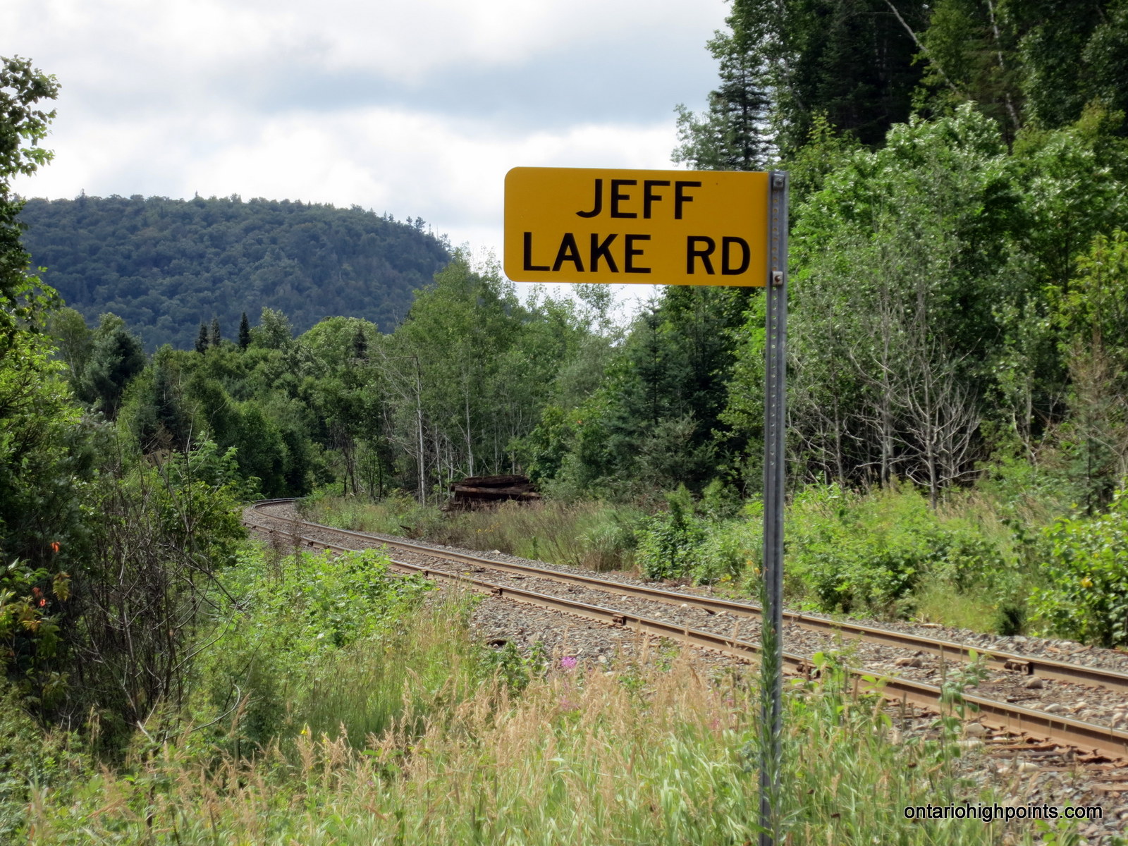
- Jeff Lake Road to Eton
-
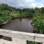
- Agawa River at Eton
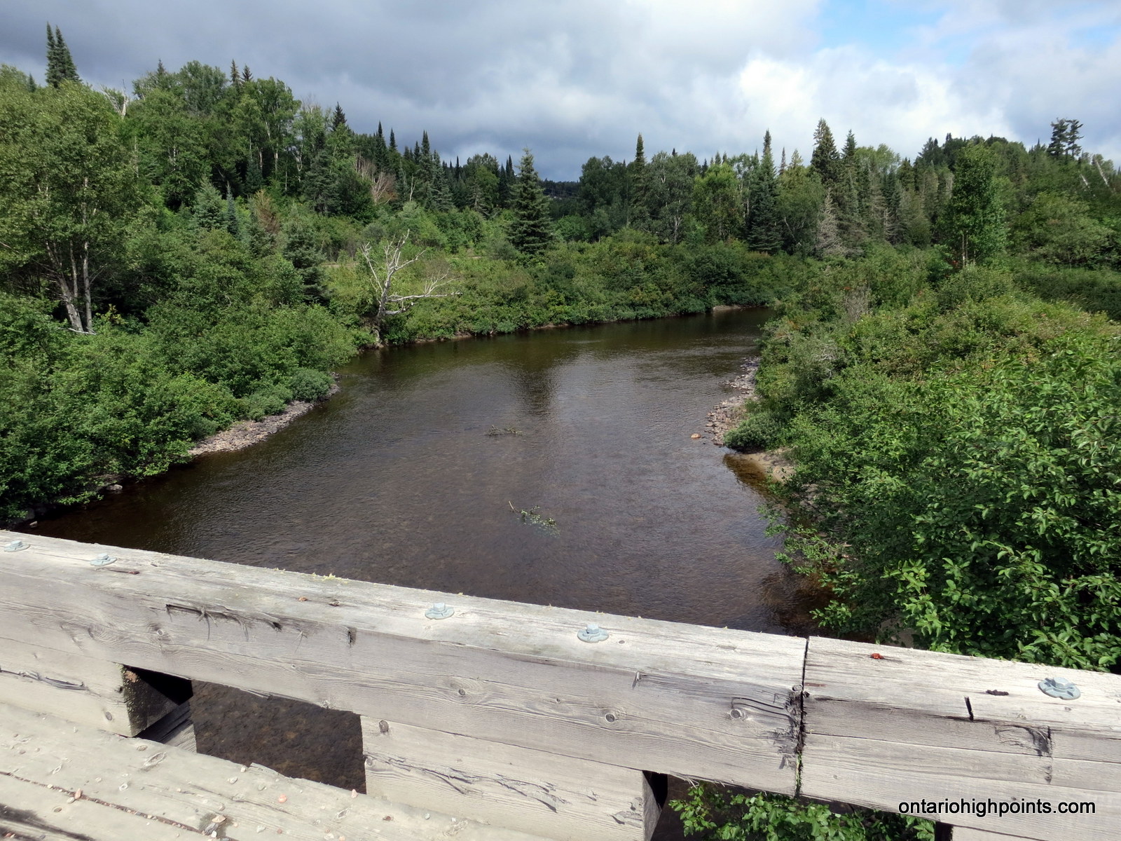
-
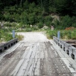
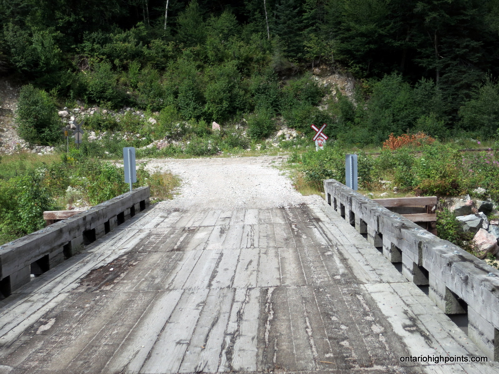
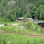
- Bridge over the Agawa River at Eton
-
- Algoma Central Railway at Jeff Lake Road
-
- Eton / Agawa River crossing
-
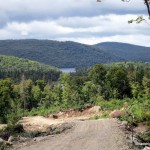
- Royal and Kwagama Lake
-
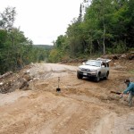
- Road Repair on the way to Kwagama Hill

-
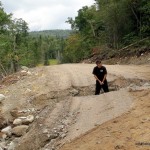
- Dan in the road washout
-
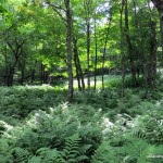
- Fern undergrowth on way up Kwagama Hill
-
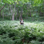
- Dan in the fern forest
-
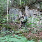
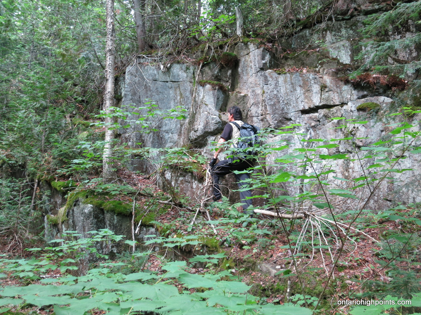
- Dan climbing up a rock face
-
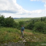
- First views on the way up
-
- Dan closing in on the summit
-
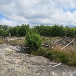
- Kwagama fire tower blew down in a 1965 ice storm
-
- Highest point on Kwagama Hill

-
- GPS Elevation at the summit
-

- Geodetic monument
-
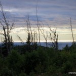
- View of Lake Superior from Kwagama Hill
-
- Panoramic west from the summit
-
- Panoramic north from the summit
-

- Dan enjoying the views
-
- Lake Superior on way back along Frater Road
-
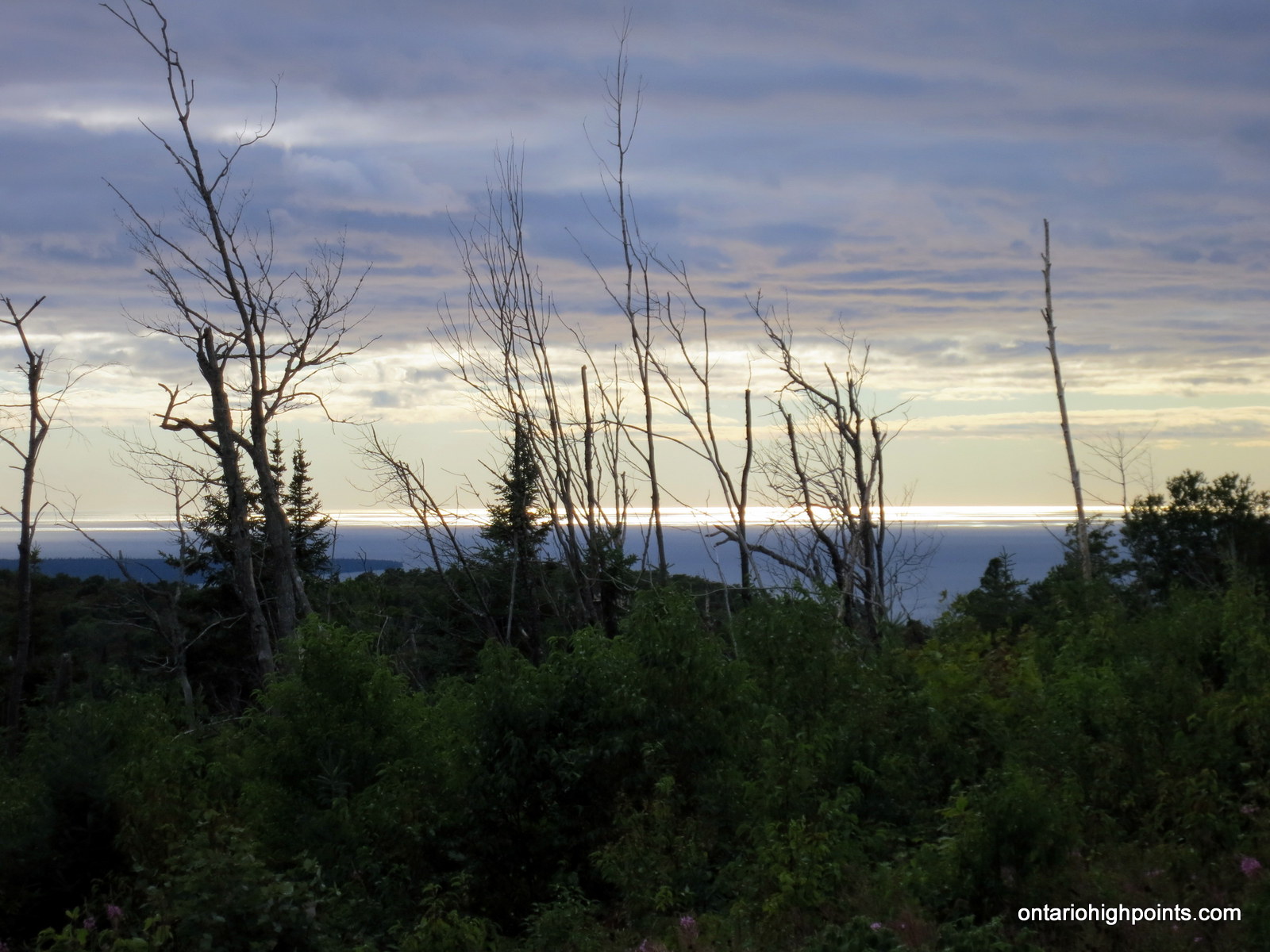
- Sunset on Lake Superior
Videos:
Kwagama Hill GPS Track (.gpx format)
Related Links:
Spencer Lindenberg’s Winter Ascent of Kwagama Hill
Kwagama Hill on on dankachur.com
FINNDIAN’S Quest for Agawa Canyon
Mary’s account of a trip to Kwagama Mt. via the Agawa River
Gail’s account of a trip to Kwagama Mt. via the Agawa River