The Crack
Posted by Derek on Aug 17, 2013

The Crack
Lat/Lon: N46 03.681 W81 20.908
Date Summited: August 5, 2013
Overview:
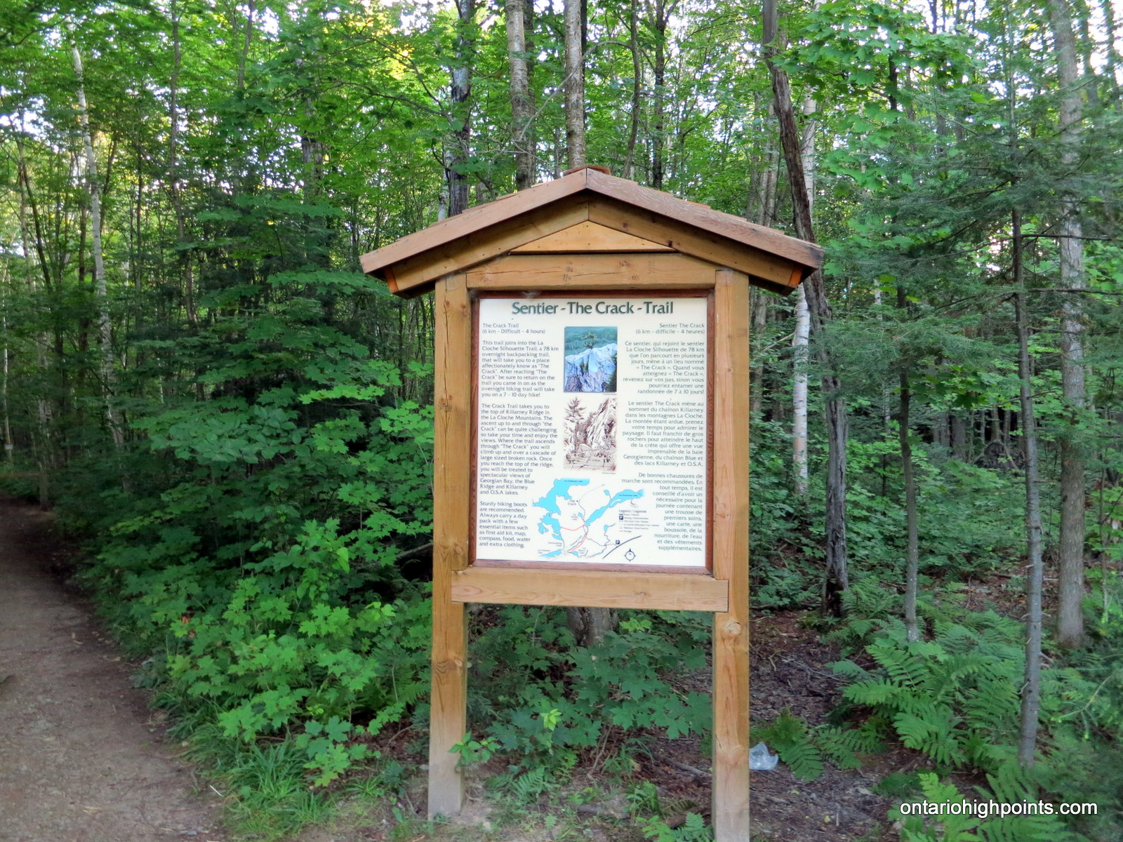
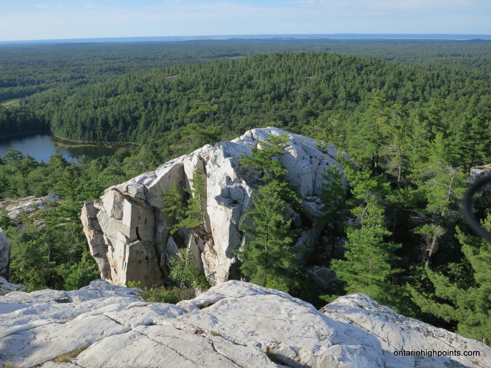
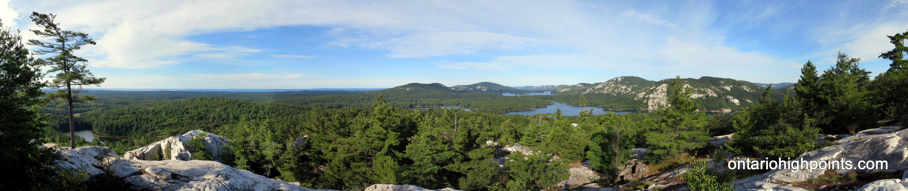
The Crack is a stunning steep sided crevasse slicing through a quartzite rock cliff, located Killarney Provincial Park. The destination is popular with hikers for the iconic Killarney views of pristine lakes framed by the white quartzite La Cloche mountains. A recently opened access trail on Highway 637 allows day hikers a short, but rugged hike to top of the ridge.
Directions::
Make your way to the intersection of Highway 69 and Highway 637 (41 km south of Sudbury). Turn west on Highway 637 and travel for 50 km into Killarney Provincial Park to the parking area for The Crack Access Trail. You must pay at the automated pay station if you are a day use visitor and are not camping (permits must be displayed on the car dash).
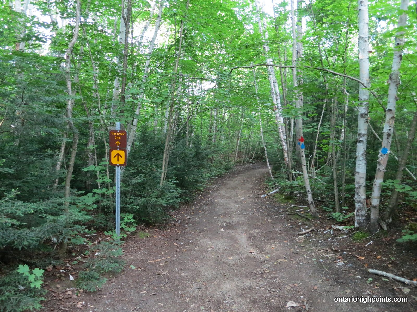
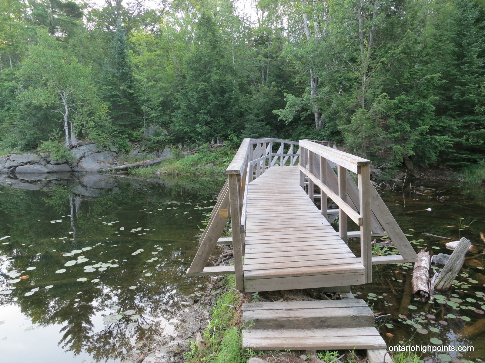
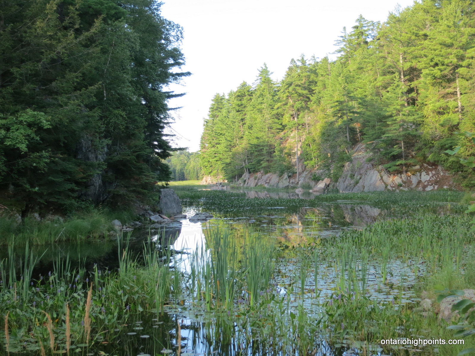
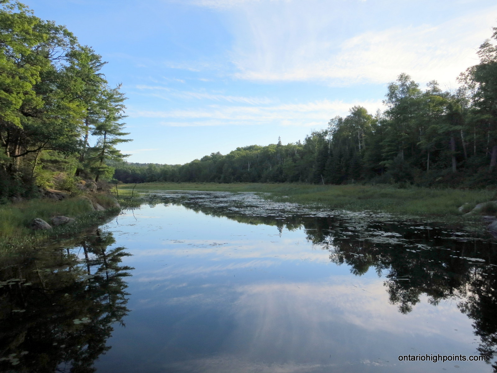
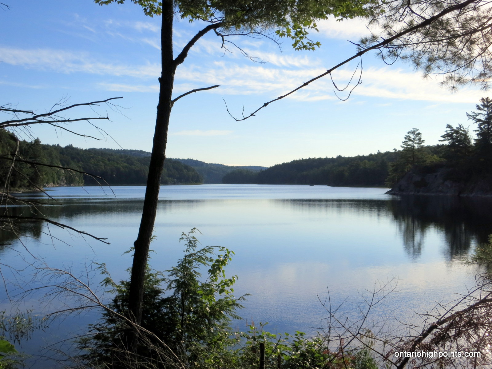
The hike begins on an old logging road that has been converted into a trail. The trail here is wide, level and easily navigated for 1.5 km until joining up with La Cloche Silhouette Trail. Follow the La Cloche Silhouette Trail north (right). At 1.9 km the trail crosses Kakakise Creek and it then follows the western shore of Kakakise lake for about 600 meters after which the trail turns northwest, away from the lake and becomes much more rugged.
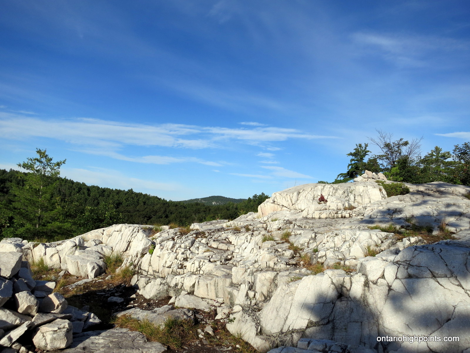
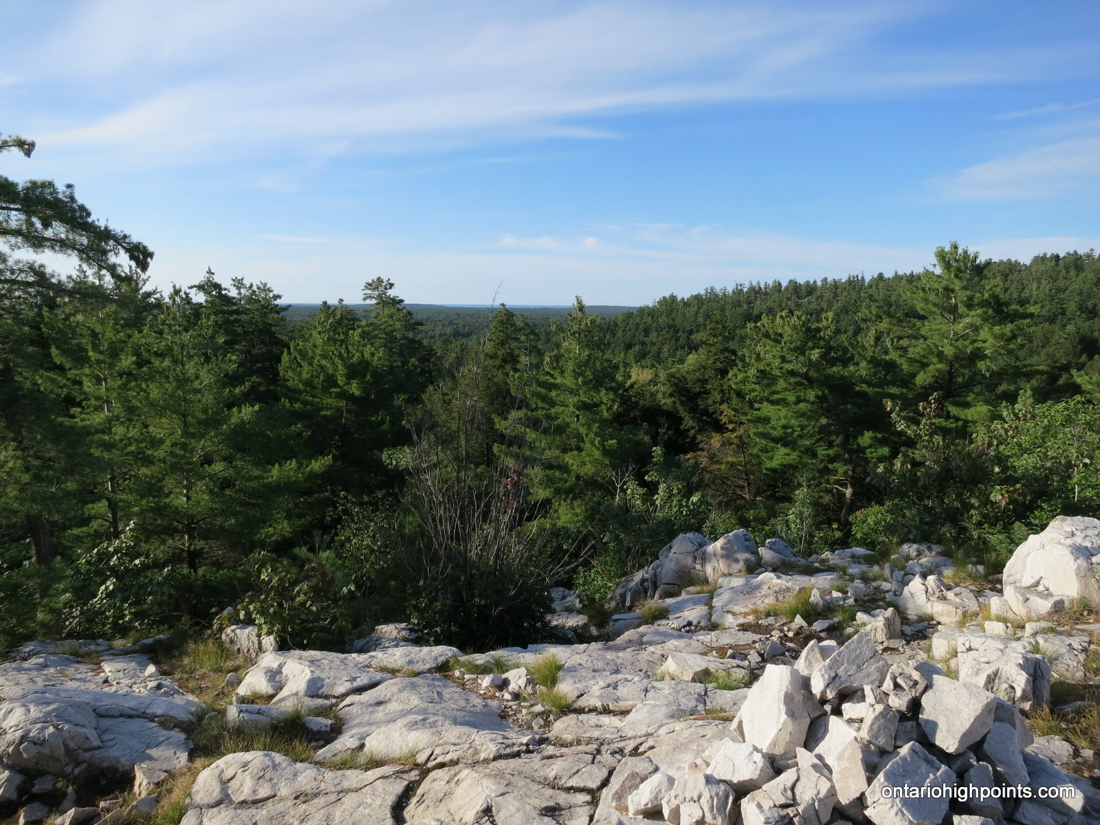
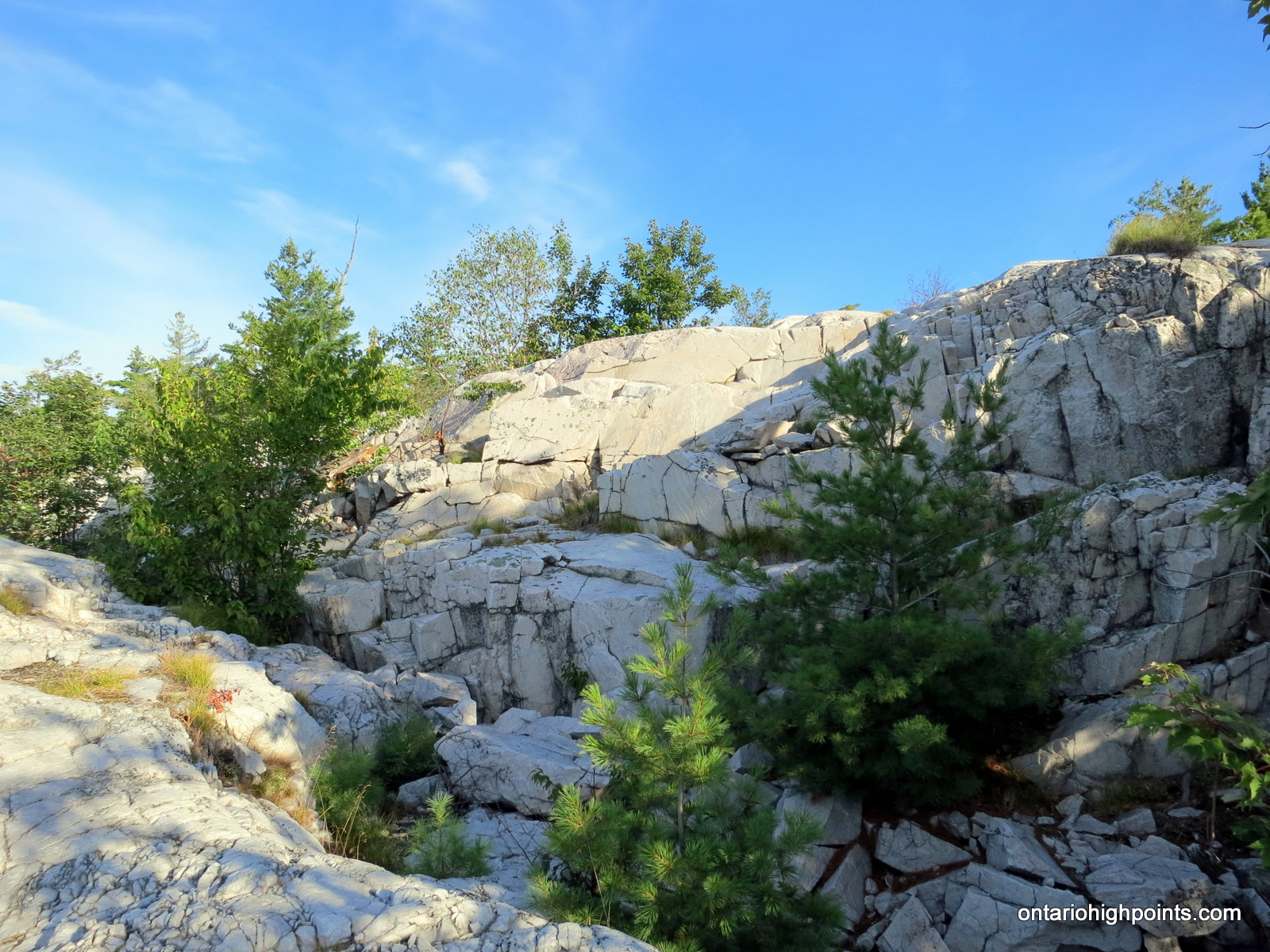
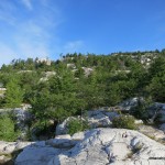
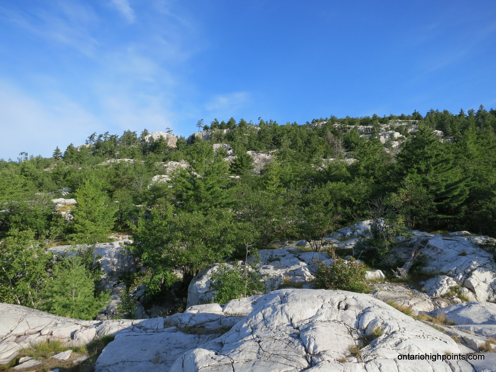
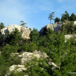
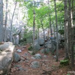
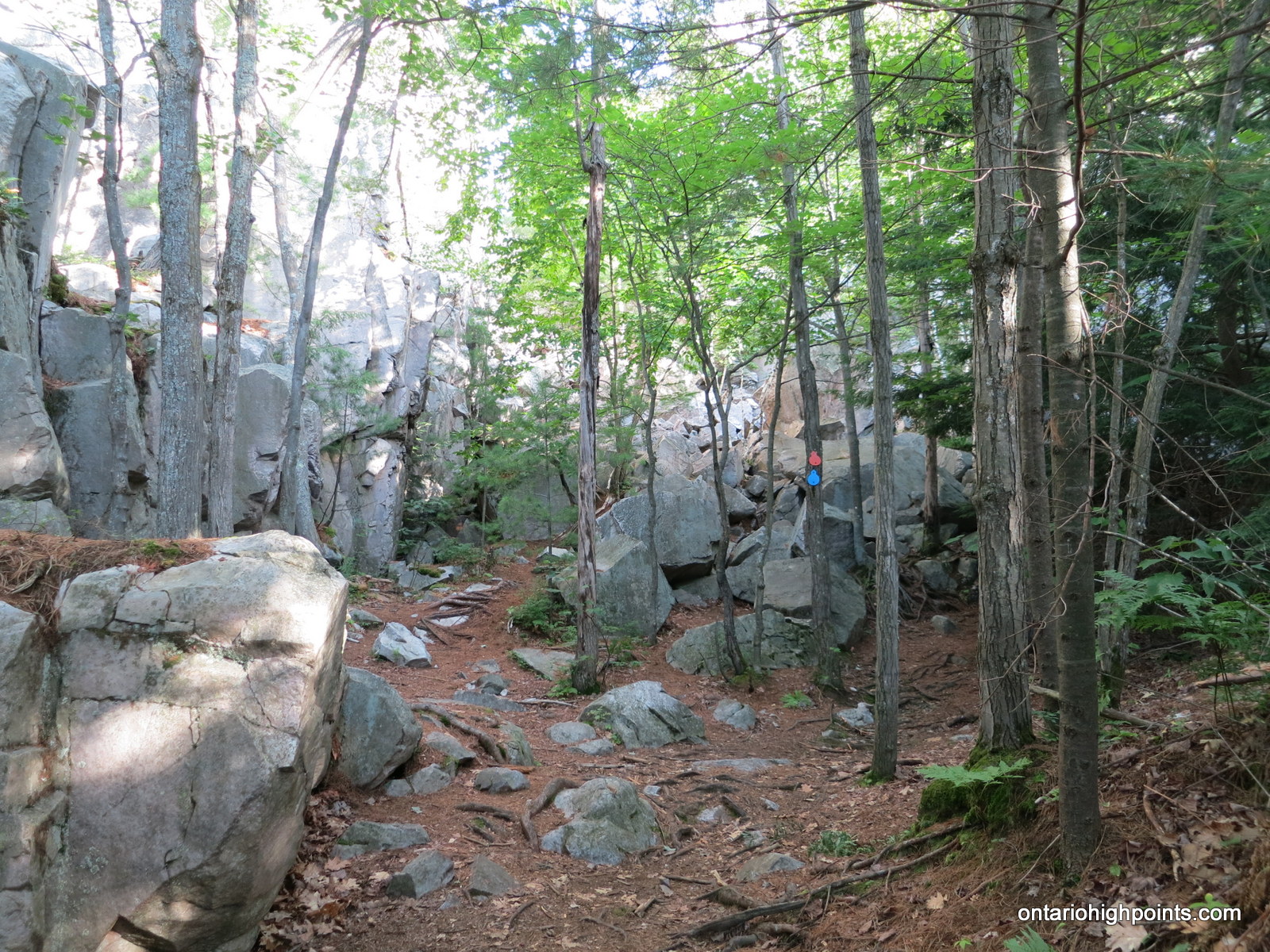
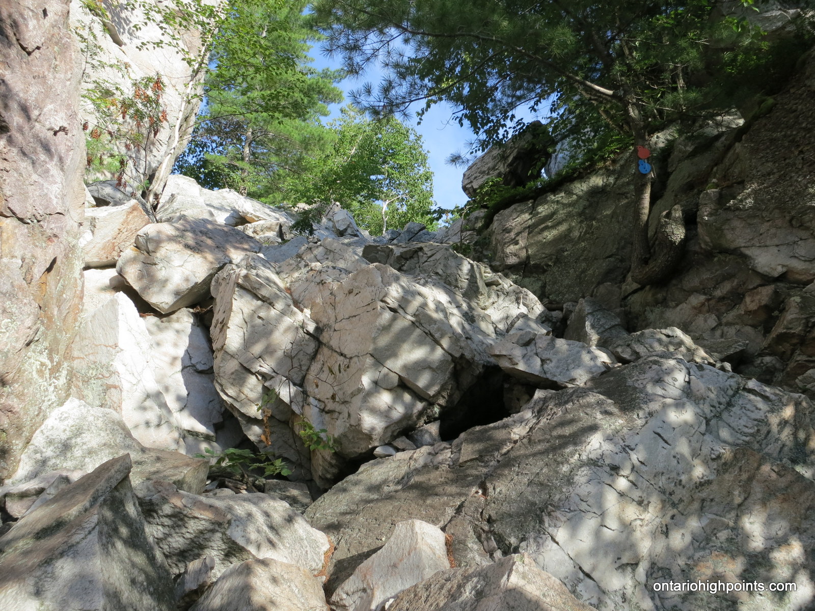
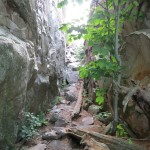
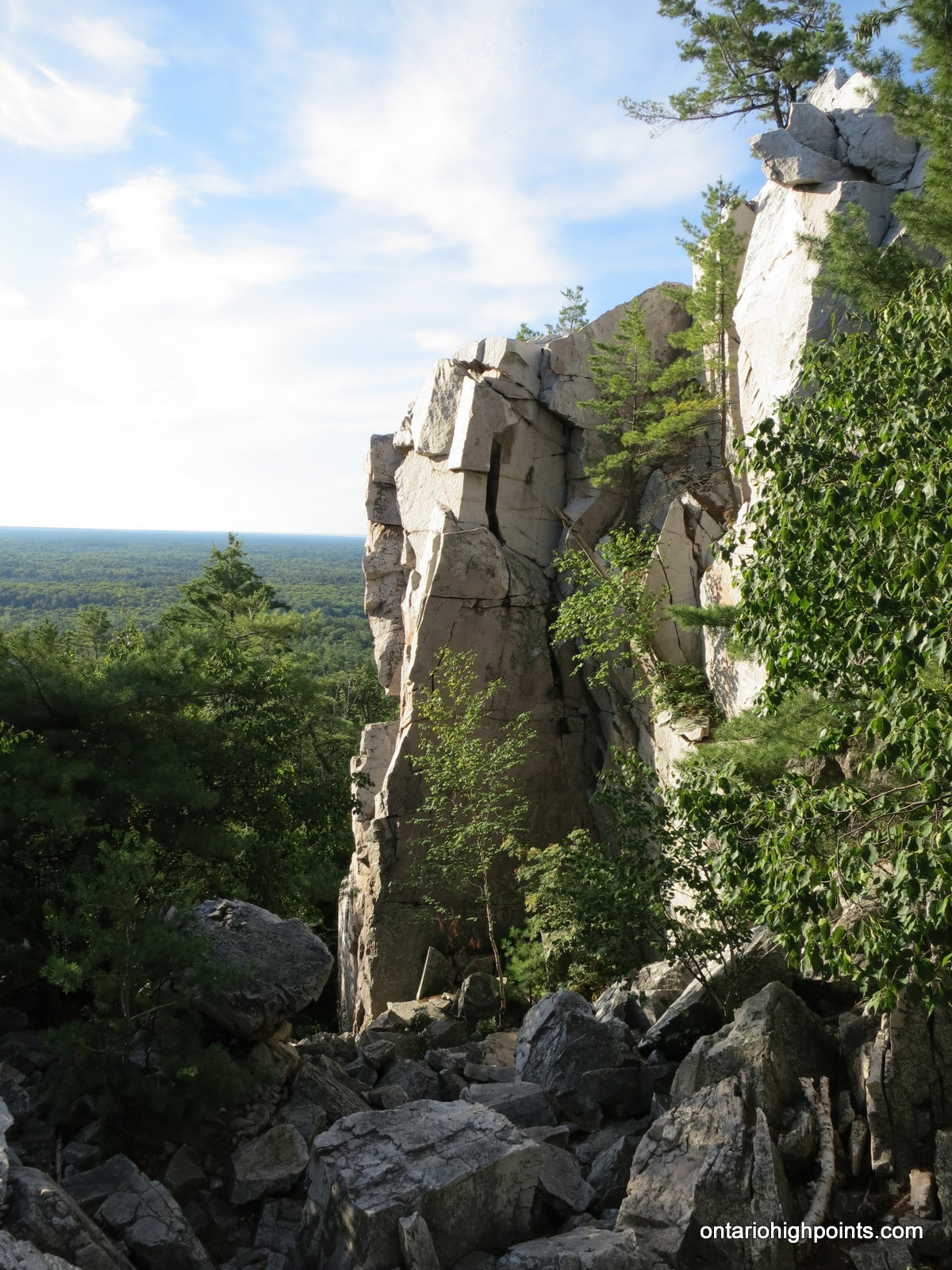
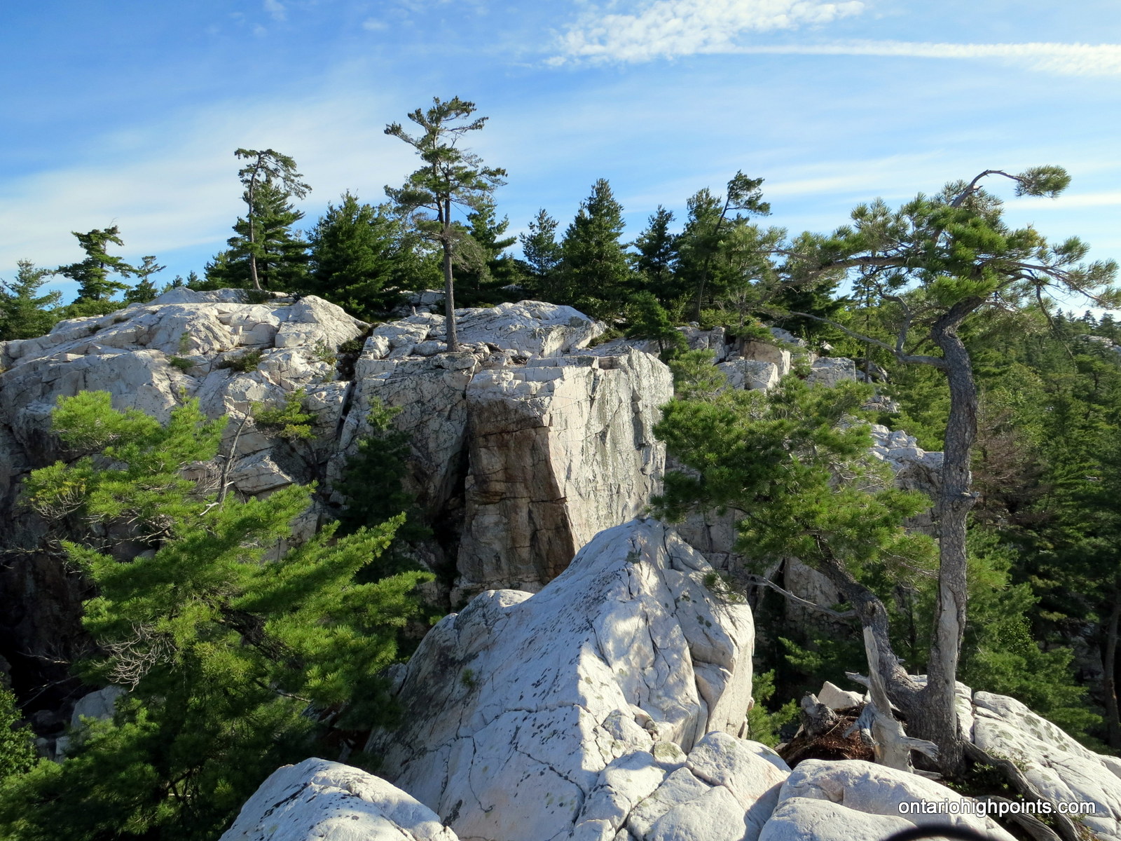
Beyond Kakakise Lake, the trail becomes steeper and more rugged as the forest gives way to the exposed quartzite outcrops and cliffs which dominate the area. Nearer to The Crack, the trail becomes very rugged. Much care must be taken to climb over and around the large quartzite blocks that line the base and passageway of the rock formation.
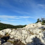
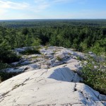
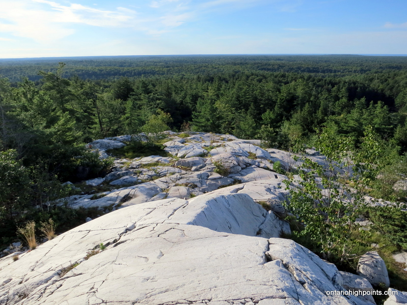
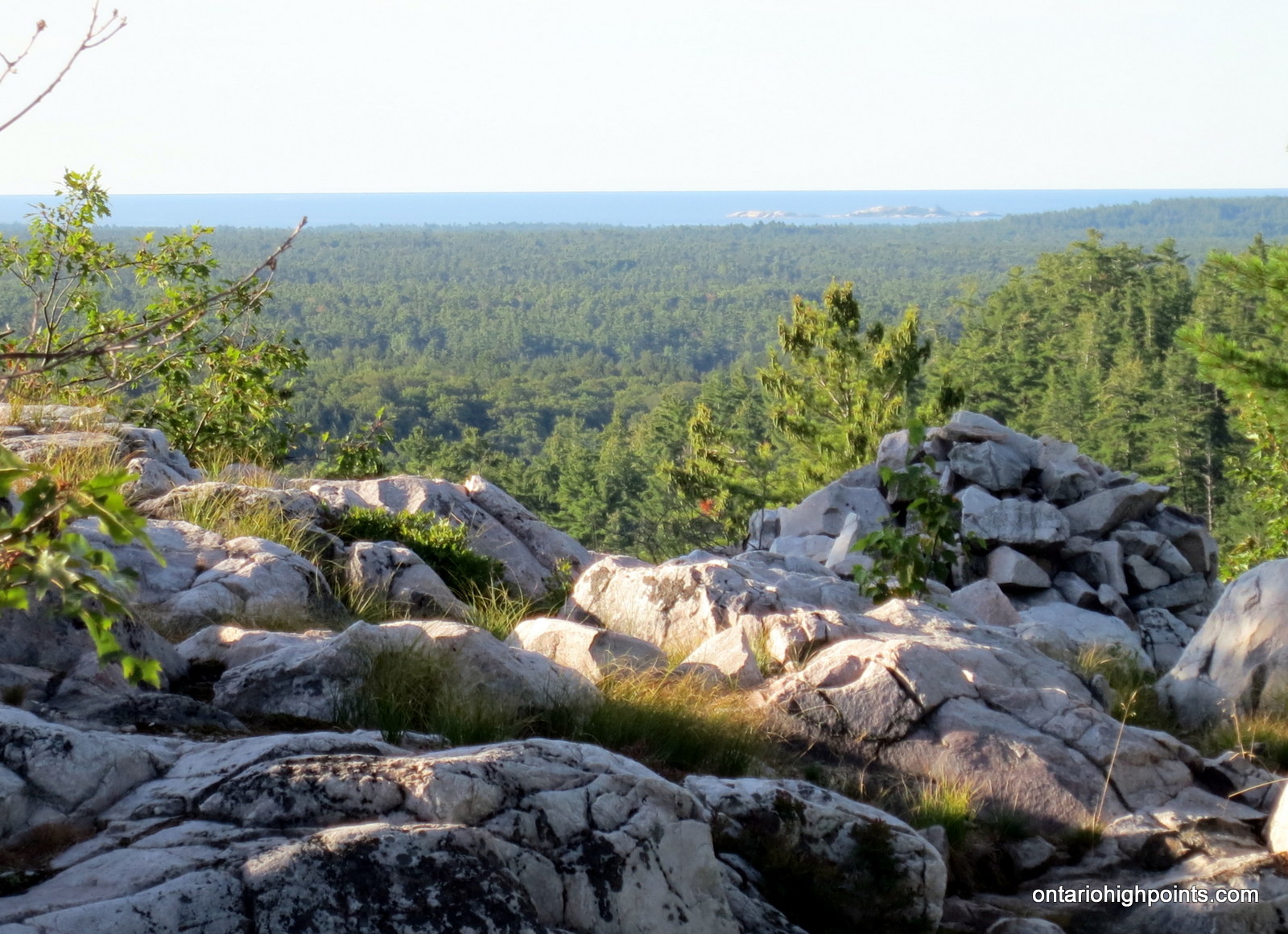
Once reaching the top of The Crack, 3.8 km from the parking lot, hikers are presented with excellent views towards Killarney Lake and the Southern La Cloche range.
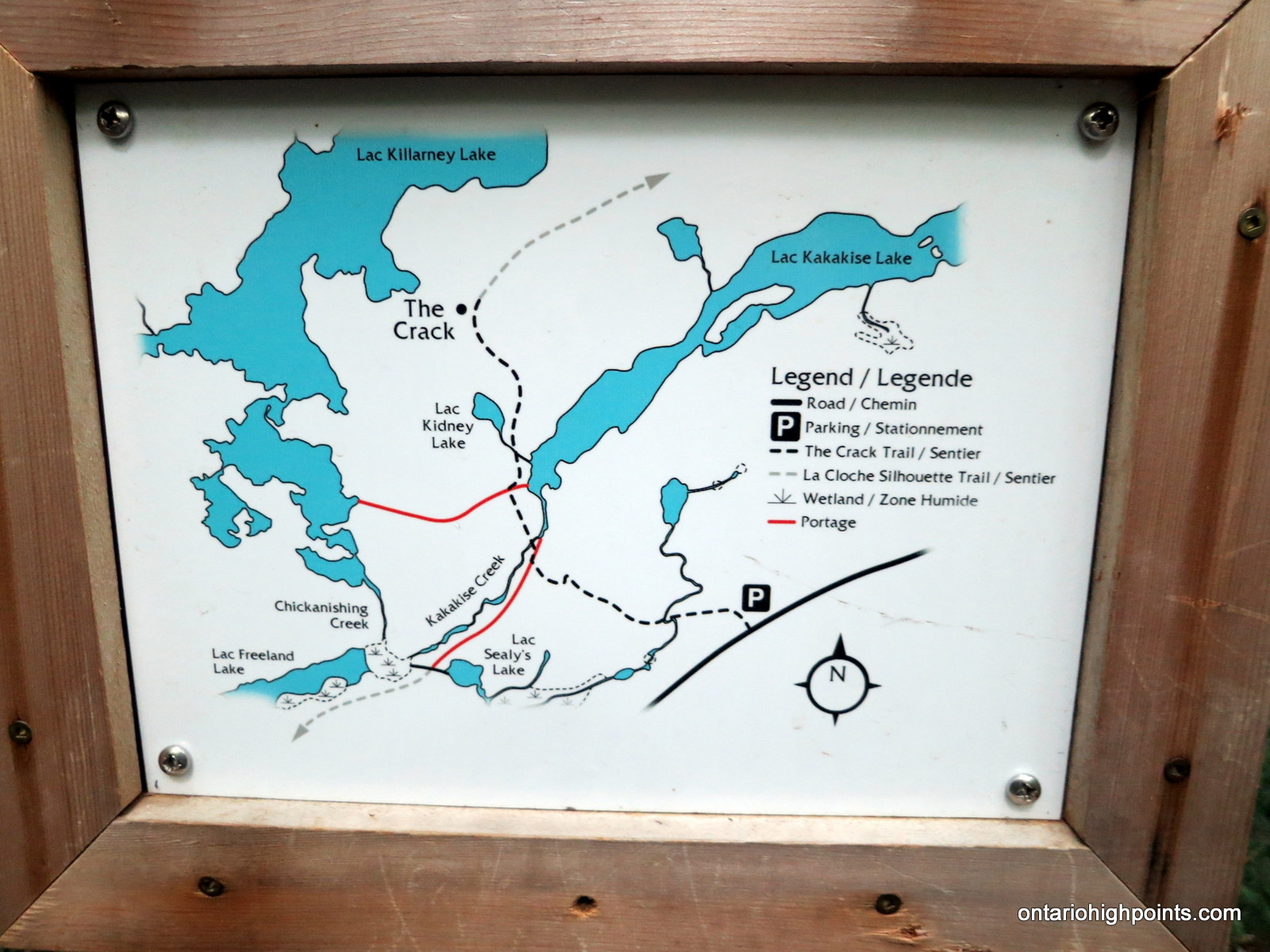
View a larger version of the map
Trip Summary:
0.0 km – Departed The Crack Access Trail parking lot on HW 637 (7:15 AM)
1.5 km – Joined La Cloche Silhouette Trail (7:32 AM)
1.9 km – Crossed Kakakise Creek (7:37 AM)
3.7 km – Arrived at base of The Crack (8:21 AM)
3.8 km – Top of The Crack (east side) (8:30 AM)
3.9 km – Top of the west side of The Crack (8:50 AM)
7.6 km – Returned back to The Crack Access Trail parking lot (9:55 AM)
Gallery:
-
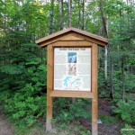
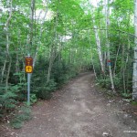
- Trailhead for The Crack Trail
-
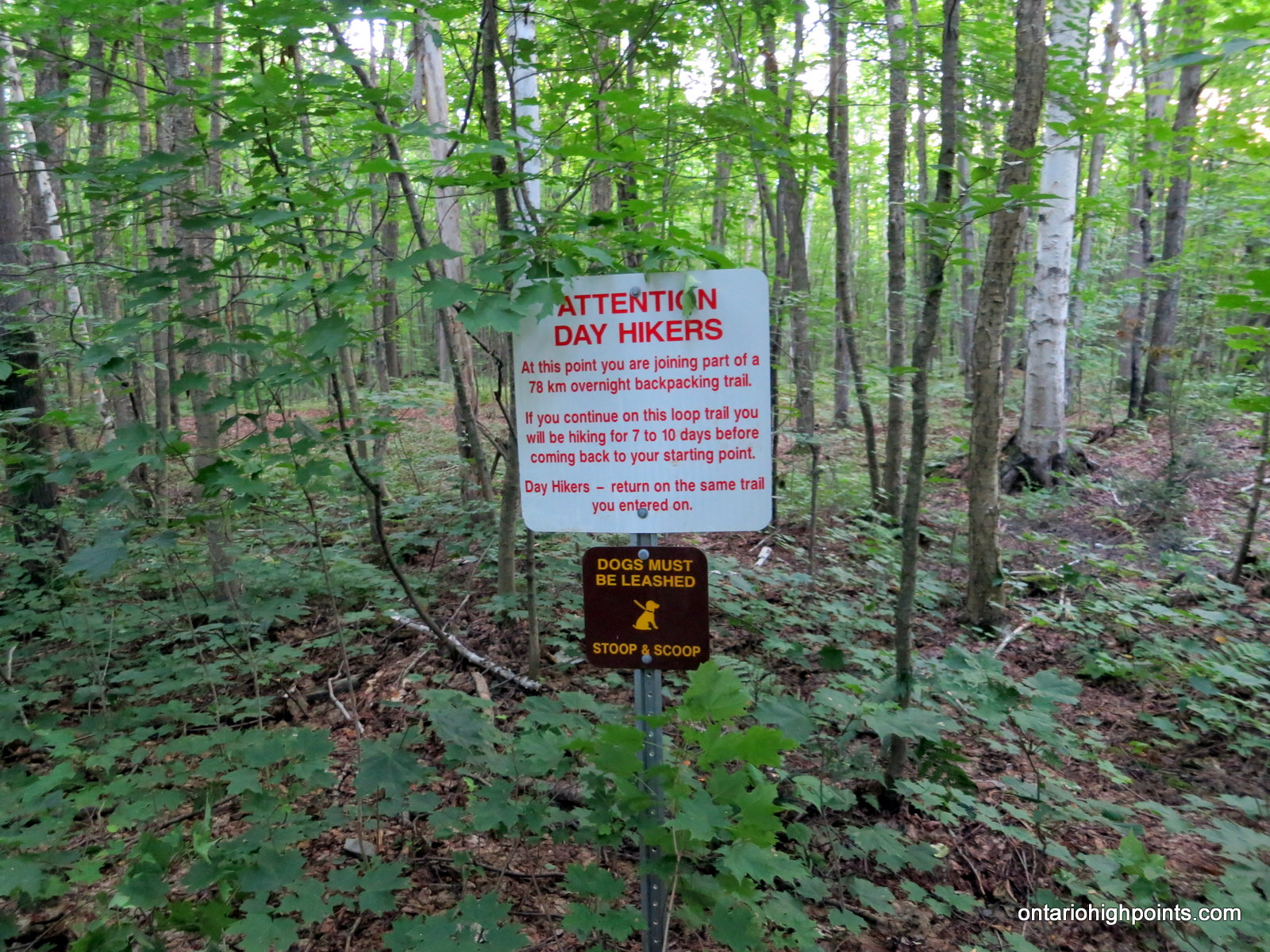
- Attention Day Hikers!
-
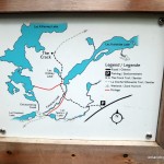
- Map of the trail
-
- First half of trail – flat, easy
-
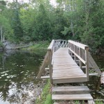
- Bridge over Kakakise Creek
-
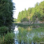
- Kakakise Creek
-
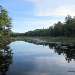
- Kakakise Creek / Lake
-
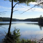
- Kakakise Lake
-
- Start of the quartzite rock outcrops
-
- Climbing the ridge – Looking back
-
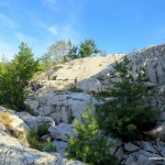
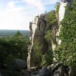
- Rugged quartzite rock terrain
-
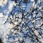
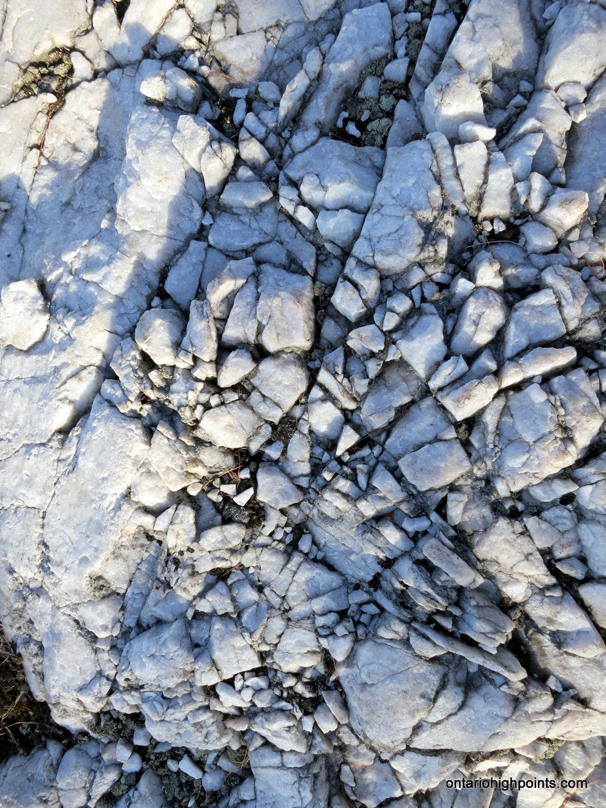
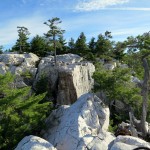
- Close up of the quartzite in the area
-
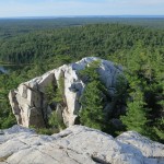
- The Crack and the top of the ridge
-
- Looking back down the ridge climbed so far
-
- Getting closer to The Crack
-
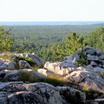
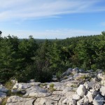
- Georgian Bay in the distance
-
- Beginning of the hike through The Crack
-
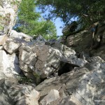
- Large boulders – steep climb
-
- Narrow passageway
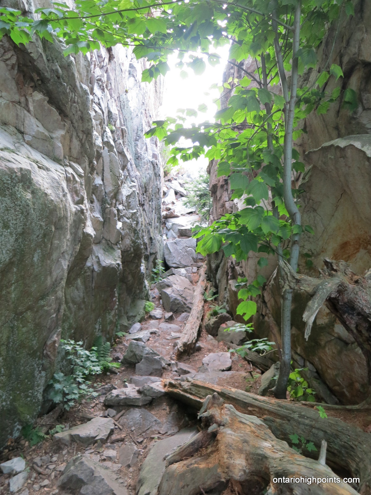
-
- Looking back through The Crack
-
- View of the other side of The Crack
-
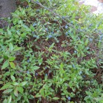
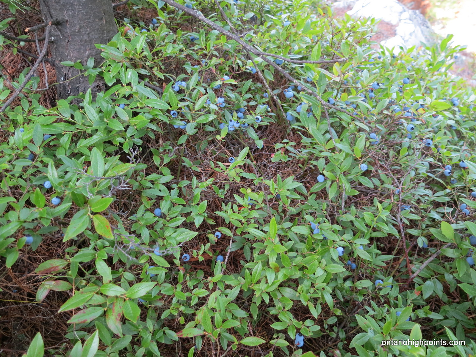
- Wild Blueberries
-
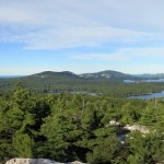
- Panoramic view from atop The Crack
-
- View from the other side of The Crack
The Crack GPS Track (.gpx format)
Related Links:
Killarney Provincial Park
Trip Report of The Crack on everytrail.com
Unlostify (Jeff’s) Killarney Map
[…] hikes. The advice I got was to do the 4-hour, ‘Crack’ hike. At 1,165 feet (355m), The Crack is one of the highest points in the Lacloche Mountains and this part of Ontario. The parking area […]
[…] had only seen by canoe in warmer weather. This particular evening we were camping on top of “The Crack” a well-known feature in the park. I awoke my tent buddy when the nylon walls of our tent […]
[…] Research: Ontario High Points – Great trip report with detailed directions and specs (elevation, gps coordinates, distances, […]
How difficult is this trail? I understand that it is steep, however I was wondering if someone who enjoyed nature walks with a moderate difficultly would be able to enjoy this? The way it sounds is like you a scaling up a rock, and I am definitely not that advanced.
Thanks for your input.
P, There is no rock scaling, however the final push to the top of the Crack is the most difficult section of the trail. This is where you will have to “climb over and around the large quartzite blocks”, sometimes using handholds, etc. There are good views even before you get to the Crack if you decided not to go up it.
P, my 9 year old daughter struggled in a few places on the final ascent with being able to reach from one boulder to the next (but, she’s always been quite conservative). It’s a gorgeous hike and well worth the effort, but in comparison to other trails, for example any and all of the Algonquin day trails), it is substantially more steep for extended periods of time.
I did this trail late August 2016. The views were amazing. It was a warm, sunny day though, and I found that even my 2L camel back was not enough water. As a result the descent was more difficult. I agree that compared to Algonquin trails, this would be rated “very difficult”, not just “difficult”. That said, it was so exhilarating that even with 2 knee replacements, I could and would do it again. Thanks to whoever added the orange tape trail markers – the official ones can be hard to spot at times. Avoid this trail when it is wet and muddy – it could prove treacherous for amateurs. Be prepared.
[…] turn and ended up 7 km away from the parking lot that would link us to the day’s trail: The Crack. Once we found the spot, parked, and applied a generous amount of actual bug repellent (find out […]
Pros: The view at the end.
Cons: Lack of signage…
-approaching the parking lot.
-Indicating where the parking lot is.
-Along the path there are signs (pink/orange ribbon, and red and blue arrows), but these path indicators need to appear more frequently along the path as it is easy lose track.
-Indicating the top of the crack and end of “The Crack” trail.
Please add more signage.
[…] Glaciers (Alberta), Lion’s Head Trail (Ontario), Garibaldi Lake Hike (British Columbia) and The Crack Trail […]