Mount Ararat
Posted by Derek on Oct 22, 2021
Height: 1247 feet / 380 meters
GPS recorded height: 1276 feet / 389 meters
Lat/Lon: N46.12202 W81.79488
Date Summited: August 14, 2021
Directions / Trip Report:
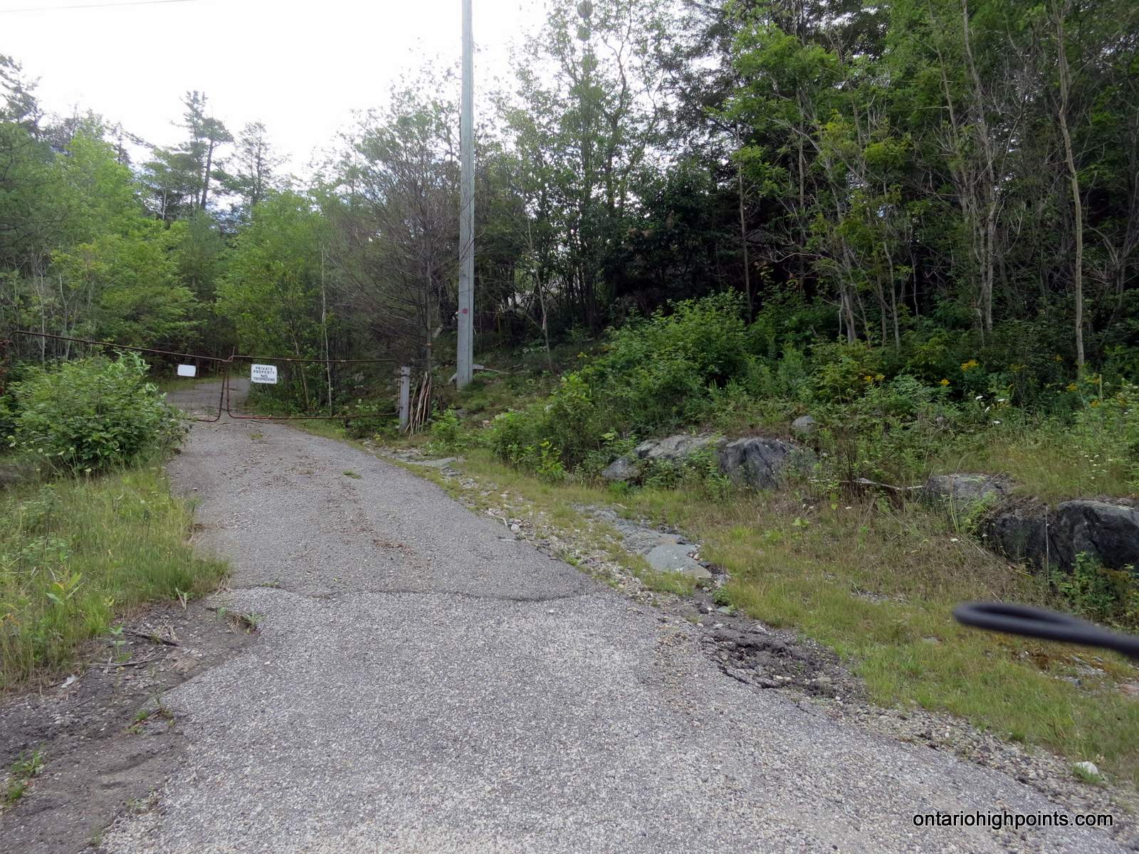
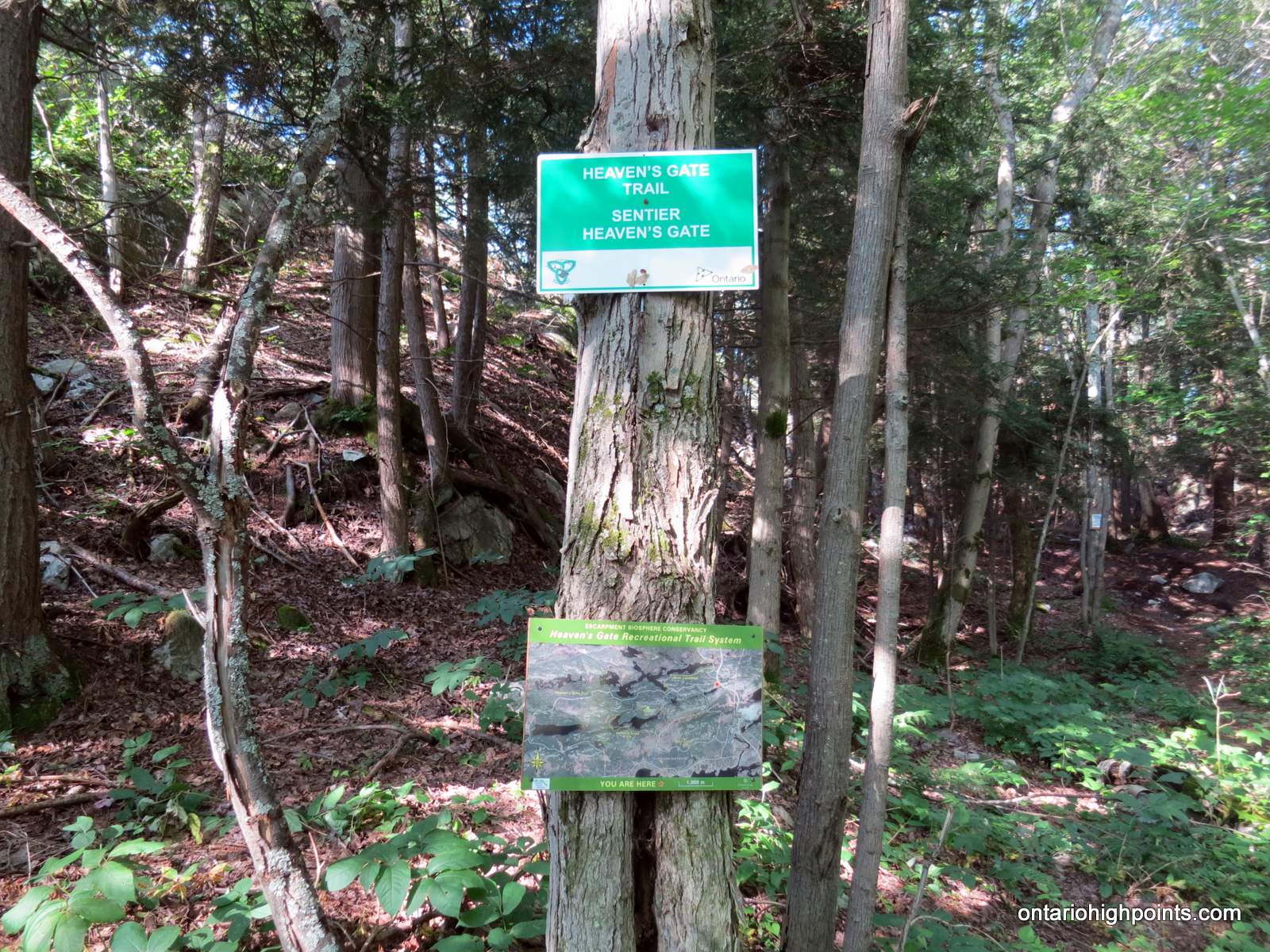
I parked at the lot for the Willisville Mountain Trail (on Willisville Road, 100m east of Hwy 6). After suiting up, I walked back to Hwy 6 and then hiked north on it for 250 meters to a driveway (west side of road) signed ‘private’. The Heaven’s Gate (Kitchitwaa Shkwaandem) Trail starts just to the right of the driveway and the trailhead sign is just inside the woods.
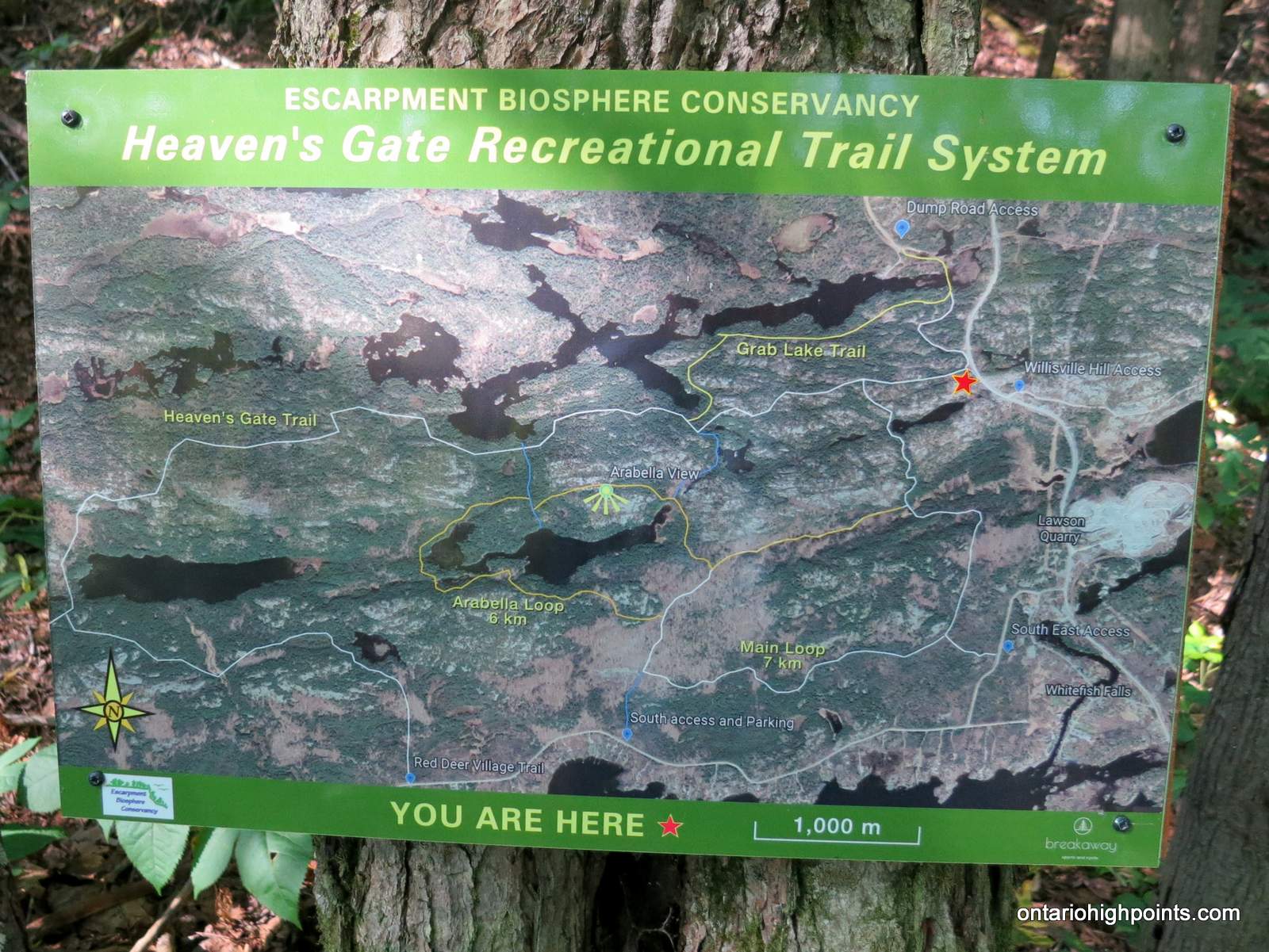
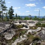
I followed the main trail along rock ridges and enjoyed the excellent views. At about 3.9 km from the parking lot, I opted to depart the main trail and made the steep bushwhack to the summit of Mount Arabella (from the northwest side). According to the trail map at the trailhead, there’s a trail from the south to an ‘Arabella View’. This might be an easier route to the summit, but I did not see evidence for the trail at the summit. Once descending from Mount Arabella, I continued along the Heaven’s Gate trail and headed towards Mount Ararat.
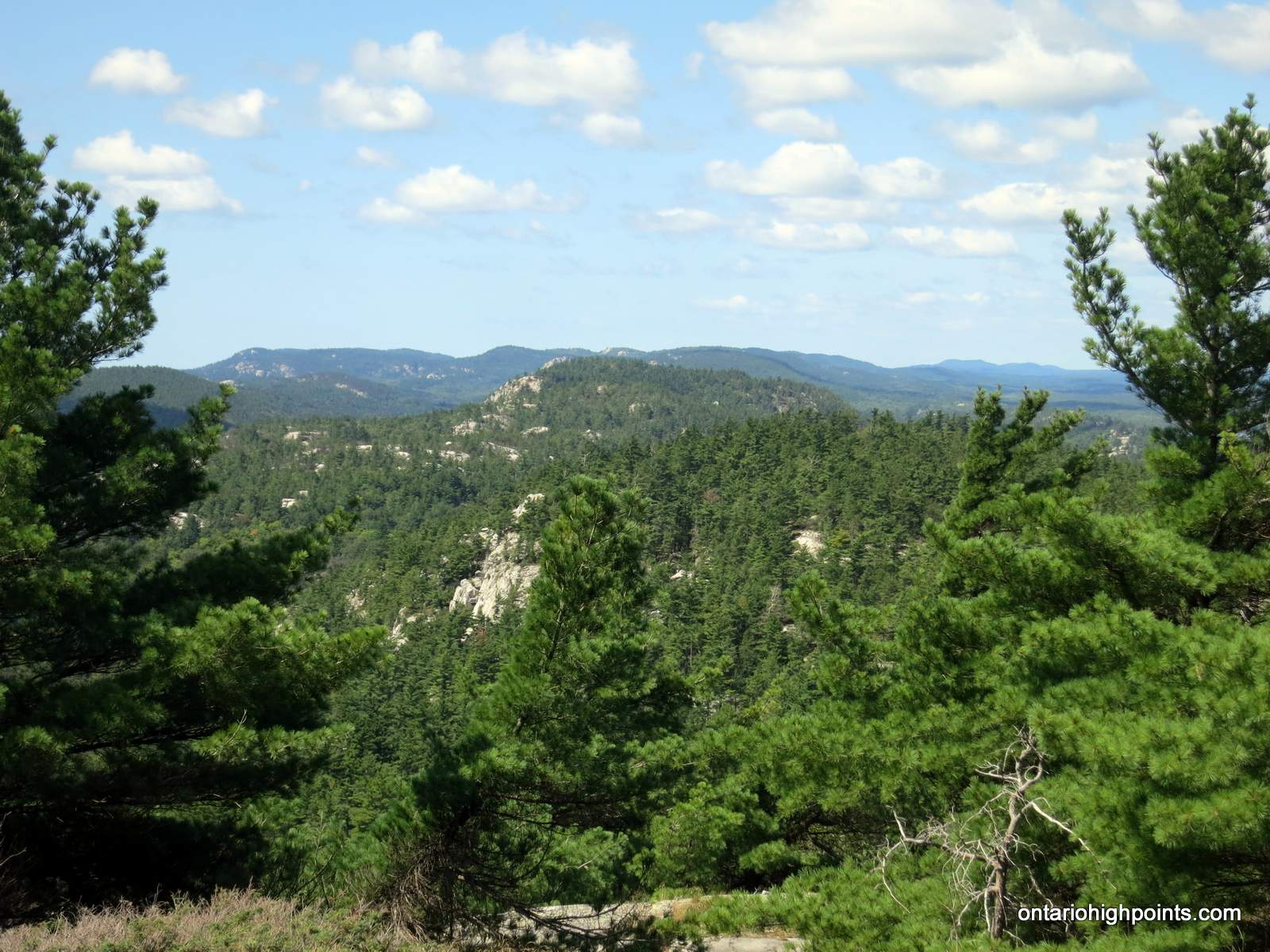
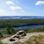
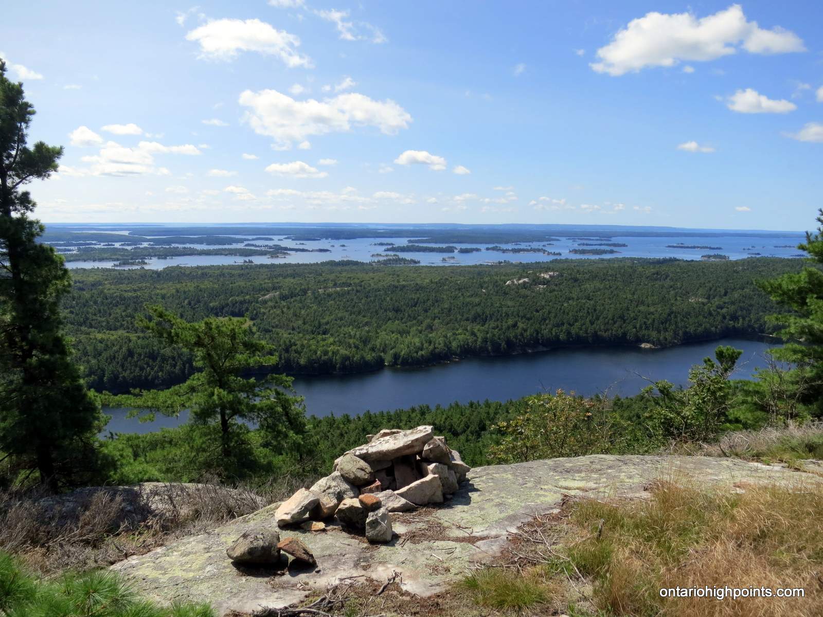
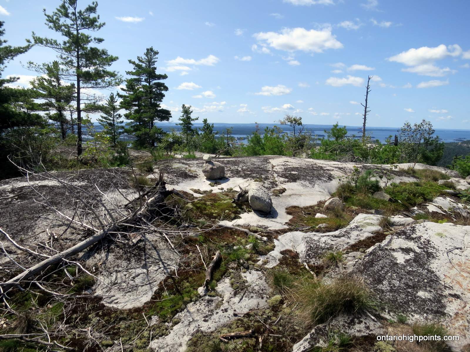
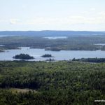
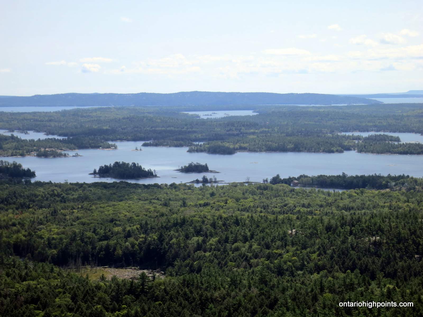
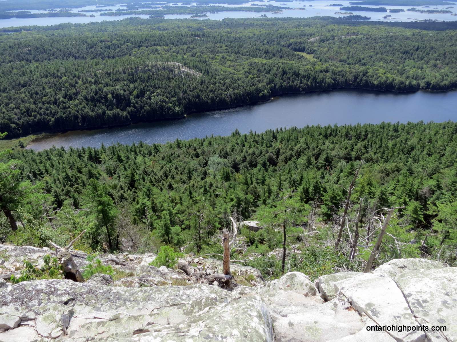
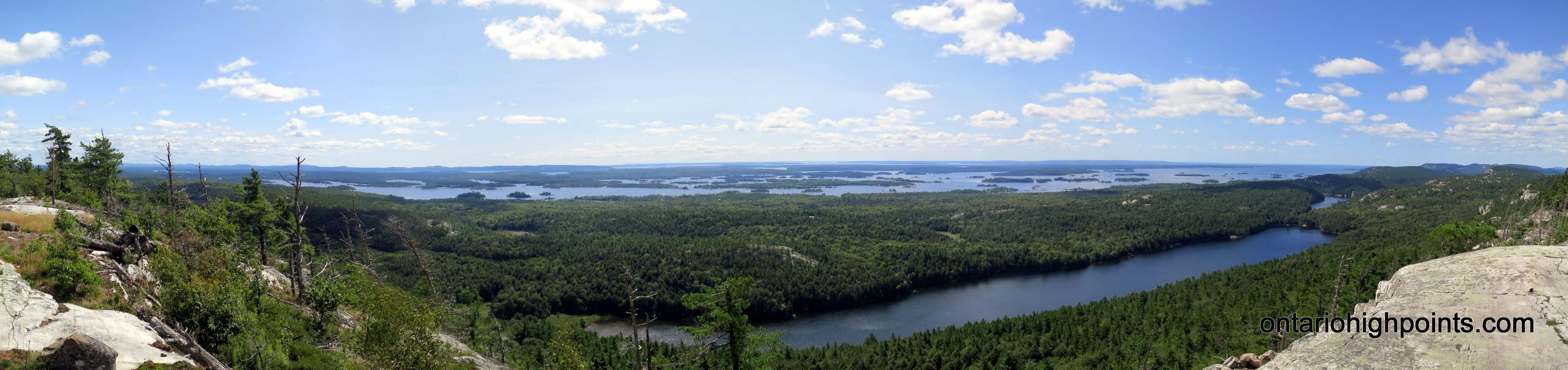
I wasn’t paying attention to my GPS, passed over the main summit of Mount Ararat and ended up on the lower West summit. After realizing my error, I returned back to the East Peak and enjoyed the excellent views south to the islands in the North Channel (of Lake Huron). The highest point is on the east peak ridge, opposite the lookout and is marked with a small cairn. There are short side trails to both the lookout and summit .
The trail map at the trailhead indicates a couple of other access points, 3 of which are on Bay of Islands Drive to the south. The Heaven’s Gate trail is a 40 km long trail which continues eastward and terminates at Fort La Cloche near the Sagamok First Nations.
View a larger version of the map
Trip Summary:
00.0 km – Departed Willisville Mtn Trail Parking Lot (off of Hwy 6) (9:37 AM)
00.4 km – Start of Heaven’s Gate Trail (9:43 AM)
03.9 km – Departed Trail and began bushwhack to Mt. Arabella (11:52 AM)
04.3 km – Arrived at summit of Mt. Arabella (11:00 AM)
05.4 km – Rejoined Heaven’s Gate Trail (11:28 AM)
07.7 km – Arrived at summit of Mt. Ararat (12:09 PM)
08.1 km – Arrived at west peak of Mt. Ararat (12:19 PM)
08.6 km – Arrived back at summit of Mt. Ararat (12:42 PM)
09.4 km – Departed summit of Mt. Ararat (1:04 PM)
15.4 km – Arrived back at Willisville Mtn Trail Parking Lot (2:51 PM)
Gallery:
-
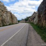
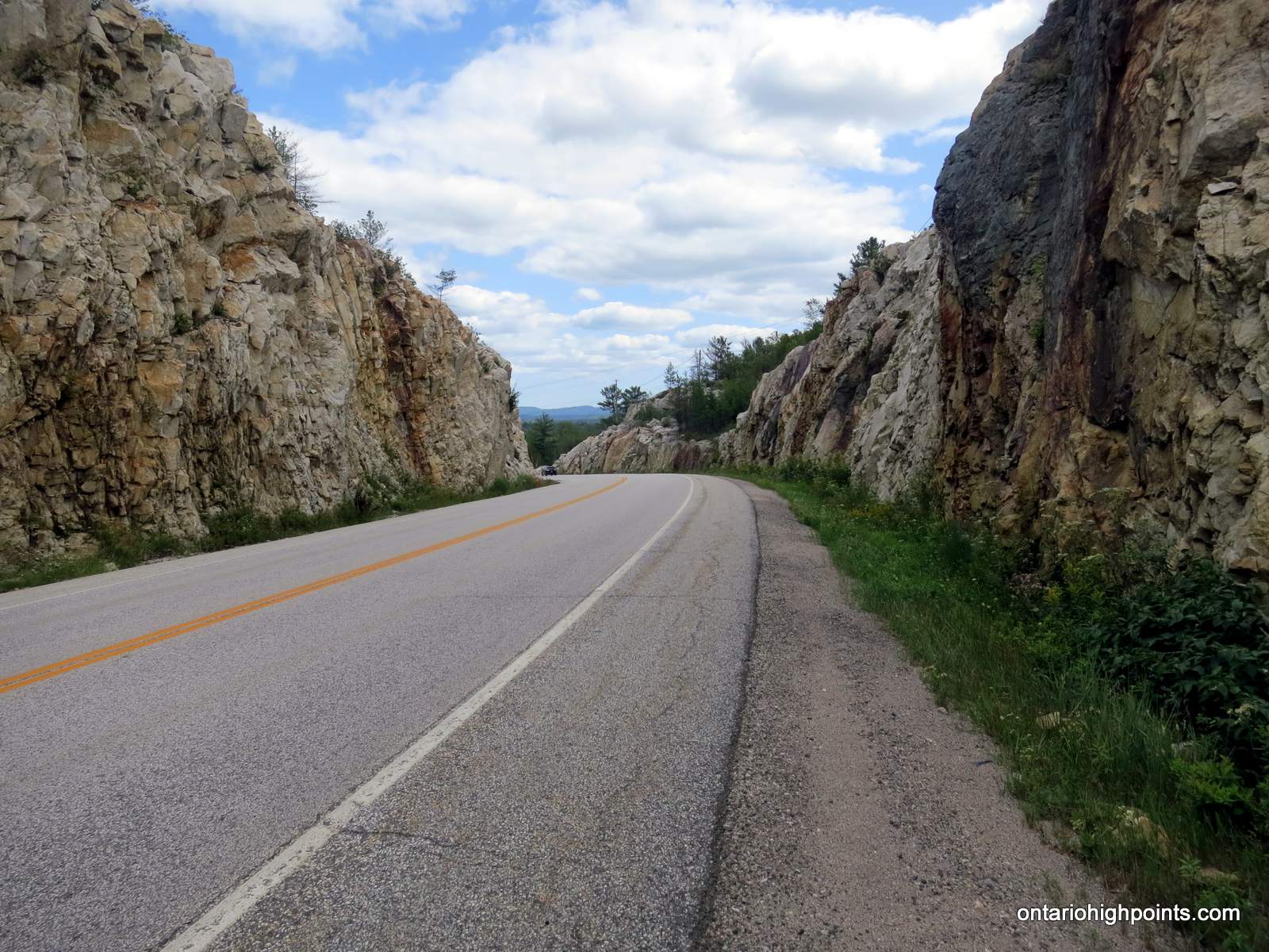
- Hwy 6 near the Trailhead
-
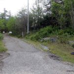
- Trail starts right of private driveway
-
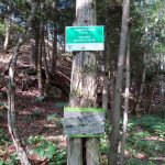
- Heaven’s Gate Trailhead
-
- Heaven’s Gate Trail Map
-
- View north near the start
-
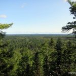
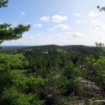
- View Northwest
-
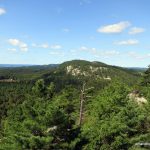
- View of Mount Arabella
-
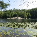
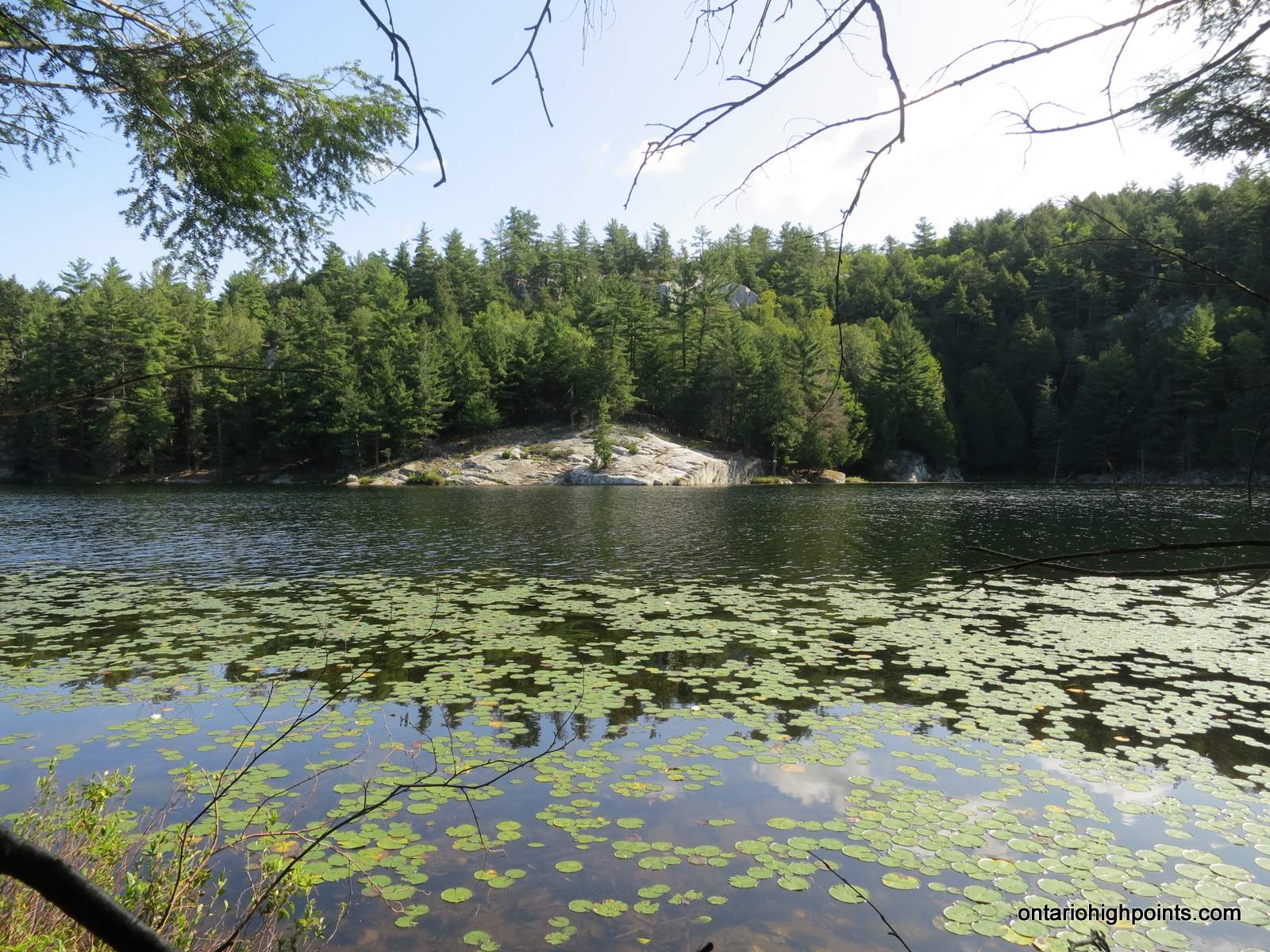
- Horseshoe Lake
-
- View east from Mount Arabella
-
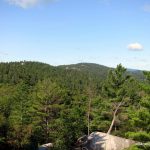
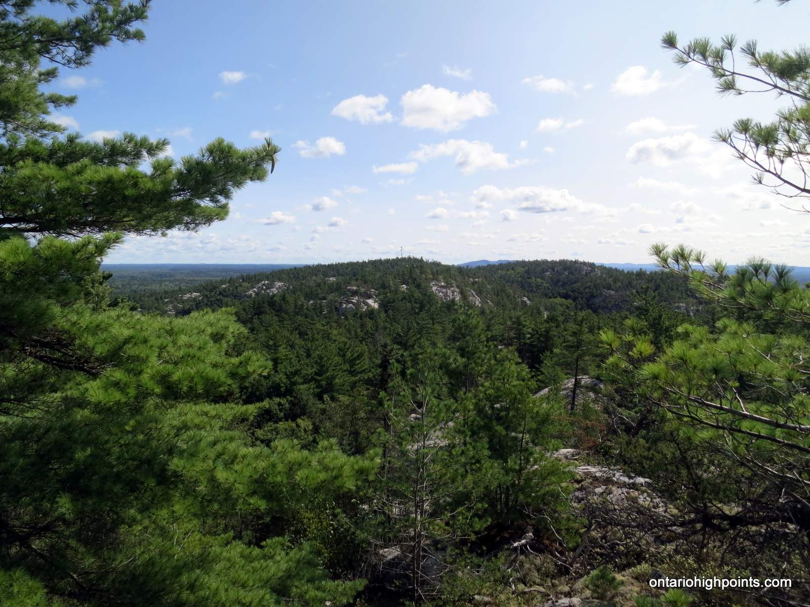
- View of Mount Ararat from Mount Arabella
-
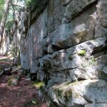
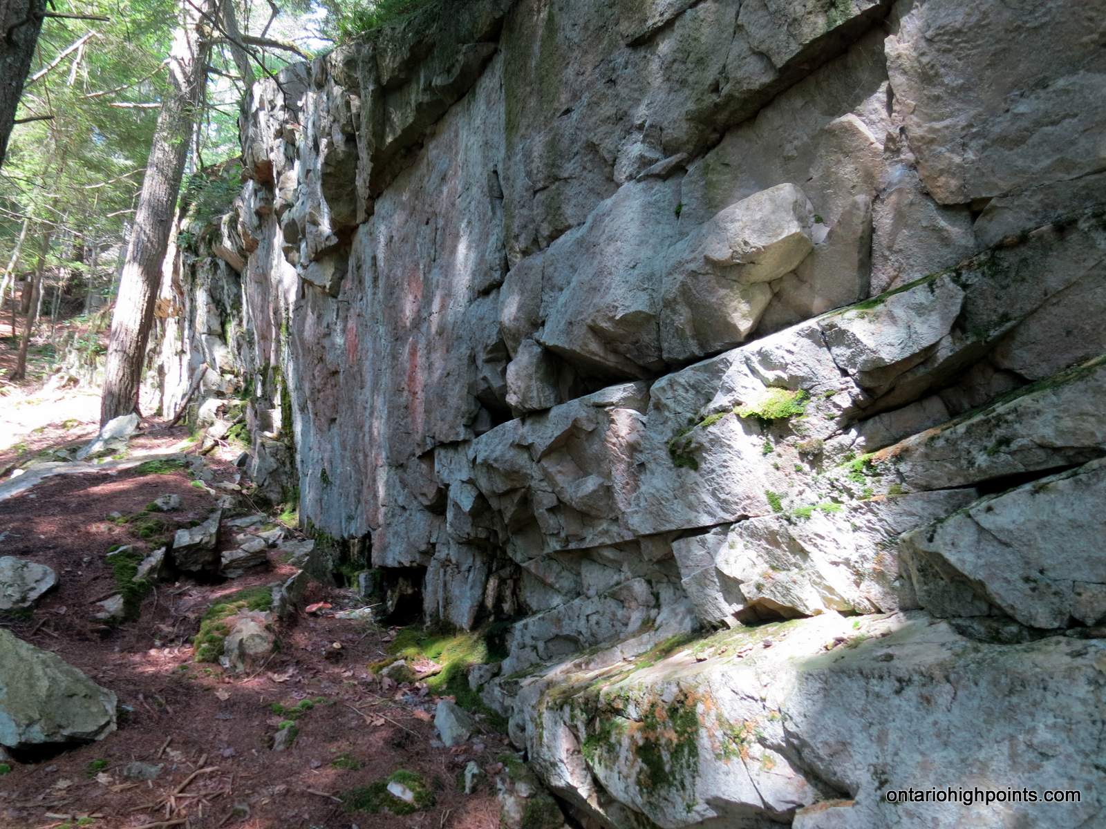
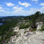
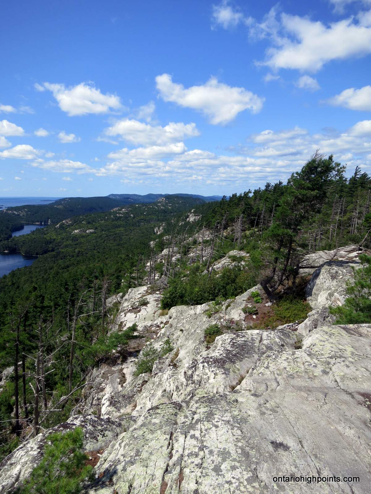
- Cliff at the summit of Mount Ararat
-
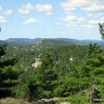
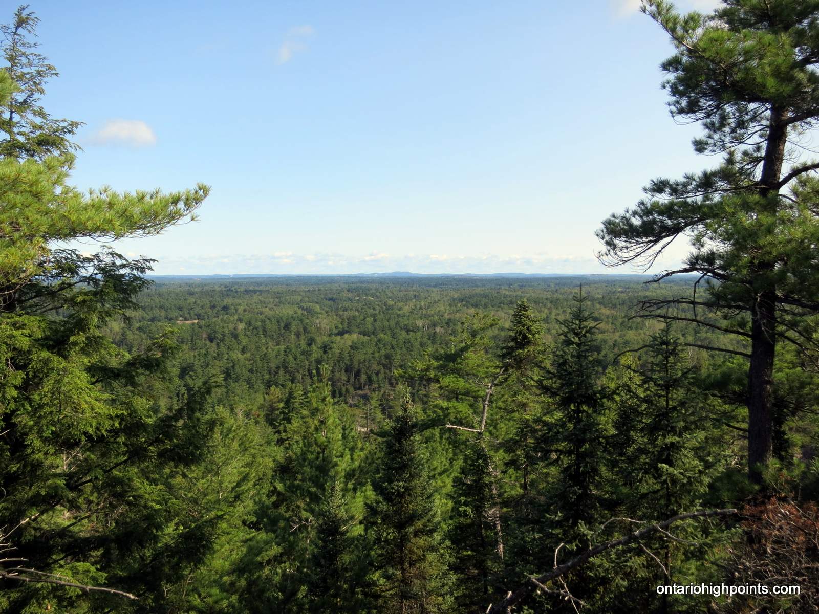
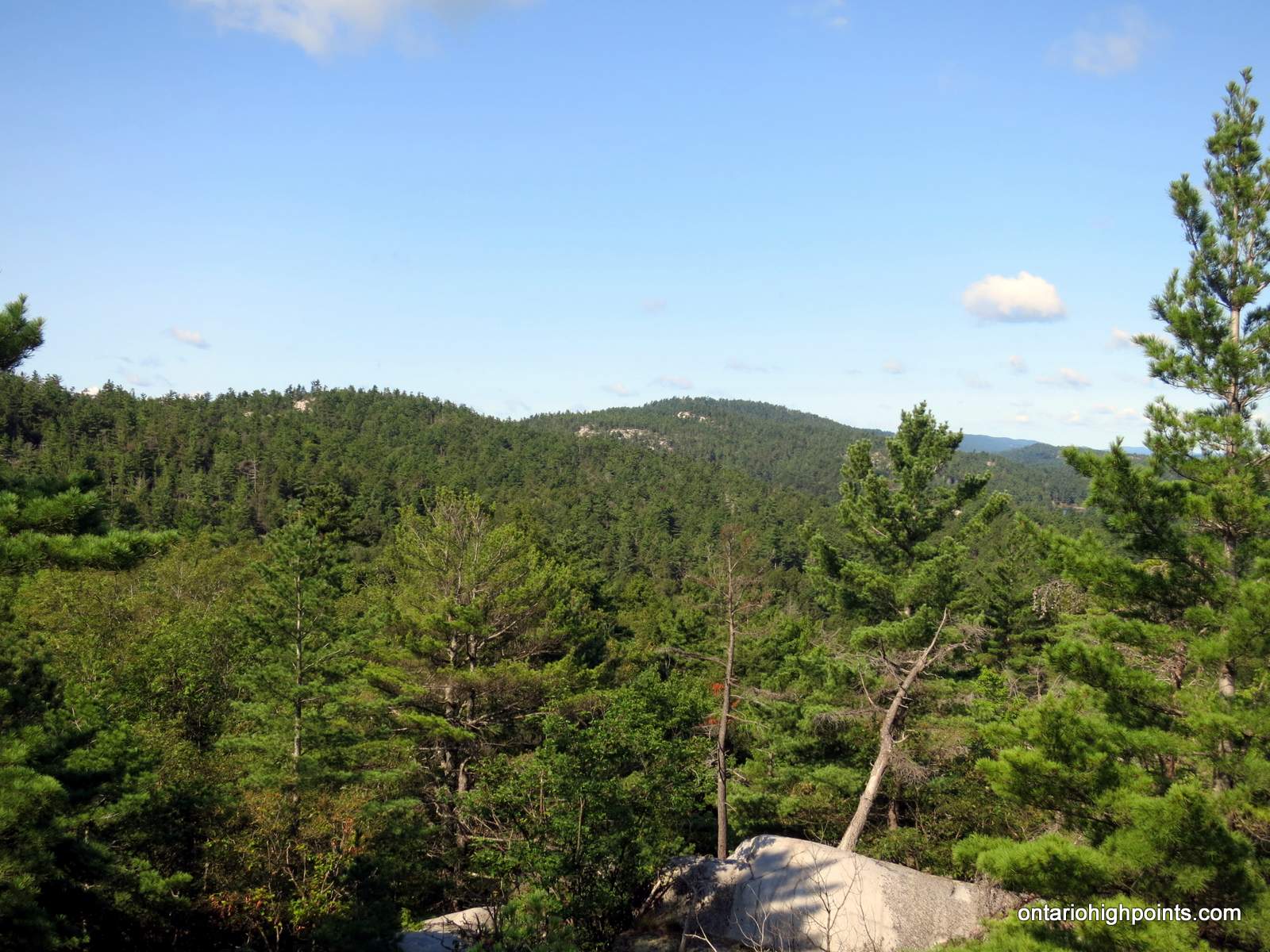
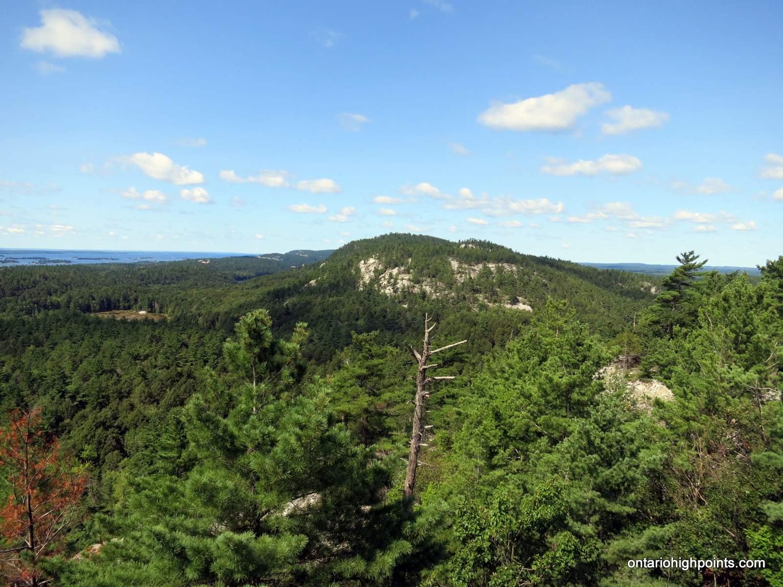
- View of the La Cloche Range from Mount Ararat
-
- View south from Mount Ararat (West Peak)
-
- Summit of Mount Ararat (East Peak)
-
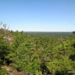
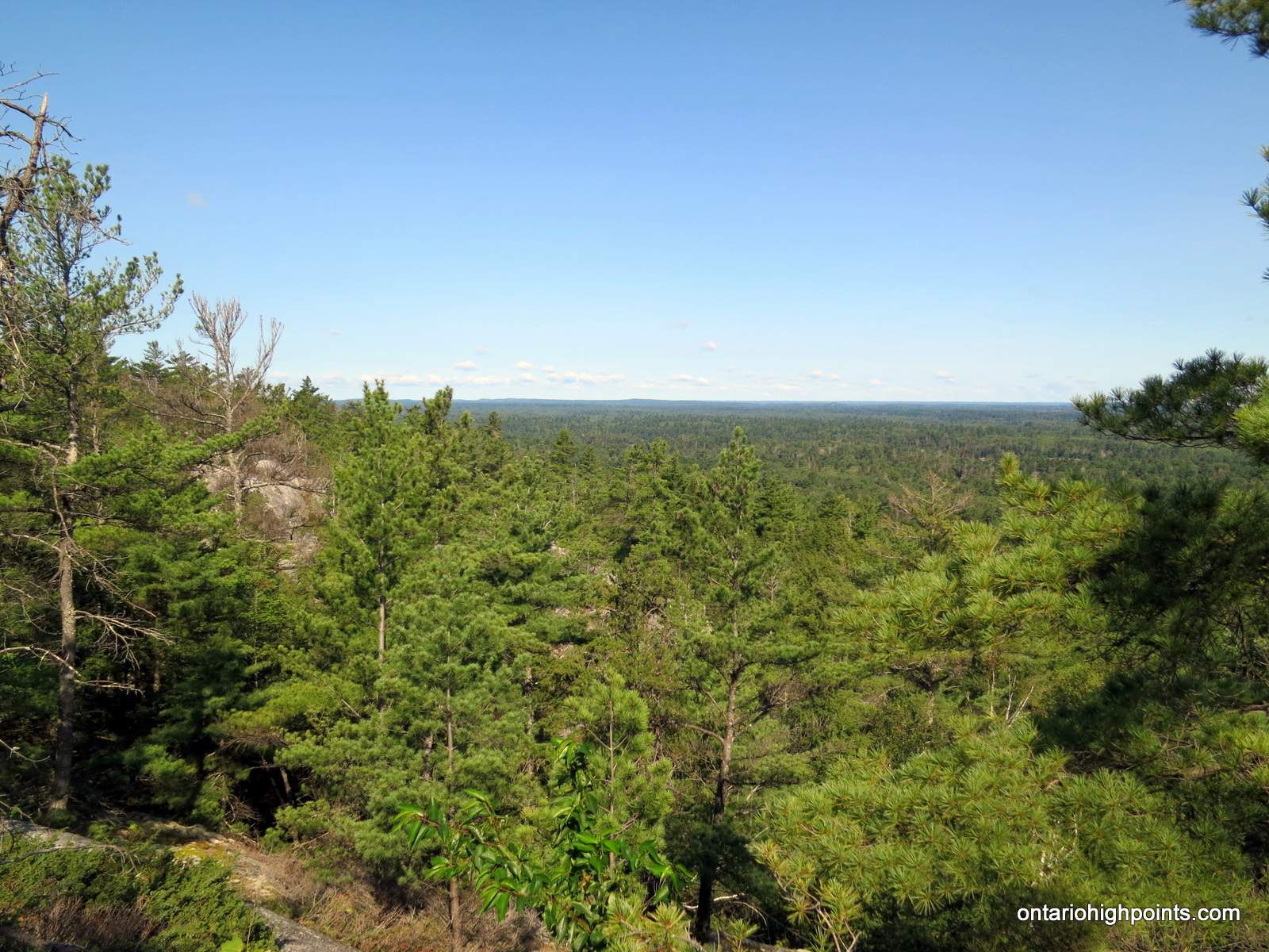
- View south from Mount Ararat
-
- View west from Mount Ararat
-
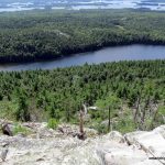
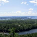
- View of Florence Lake from Mount Ararat
-
- Panoramic View from Mount Ararat
GPS Tracklog (GPX Format):