Little North Lake Peak
Posted by Derek on Feb 24, 2017
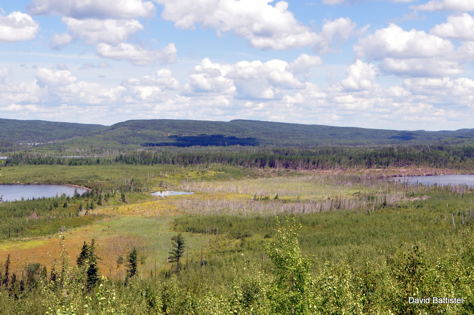
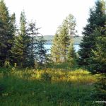
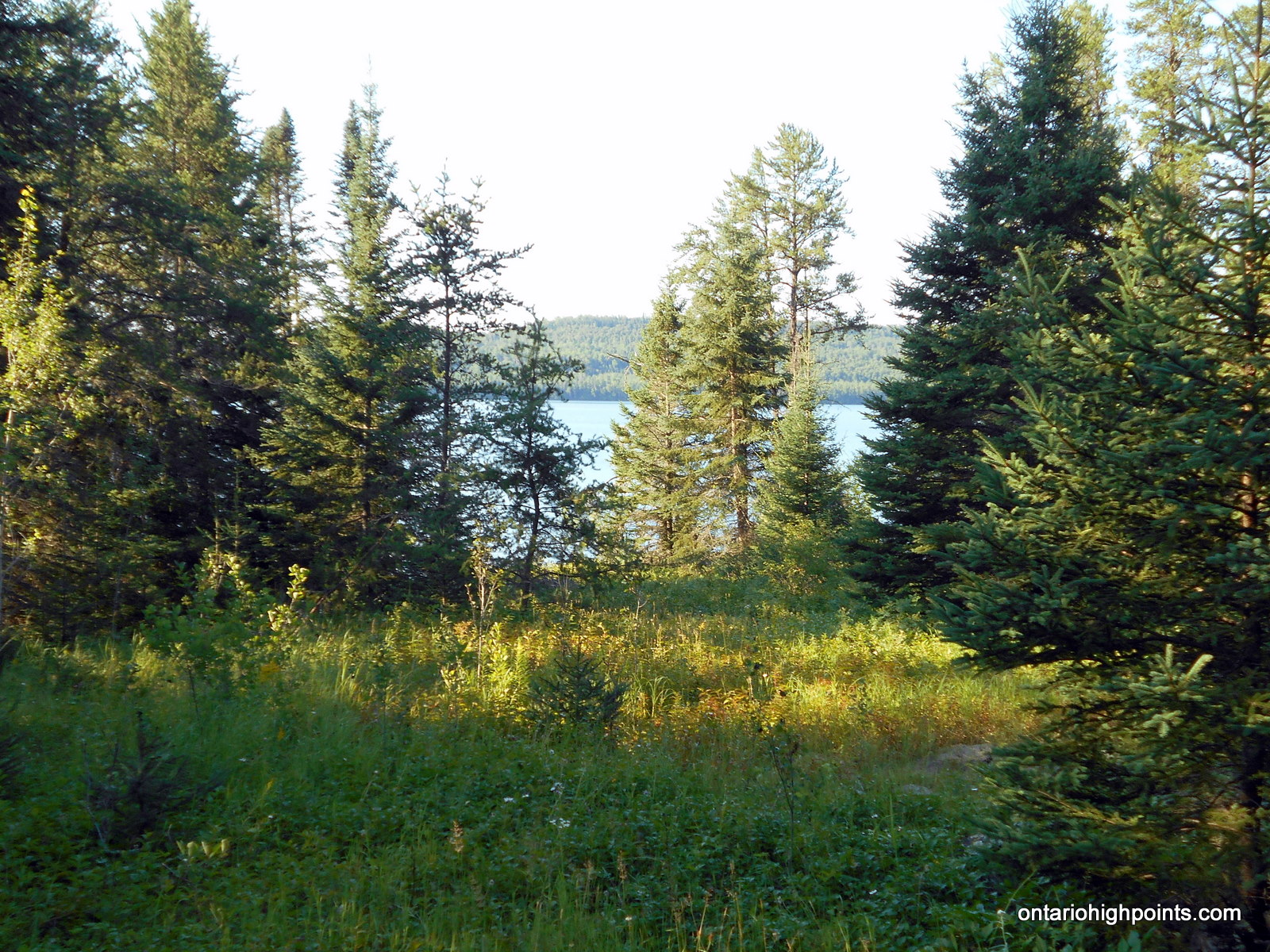
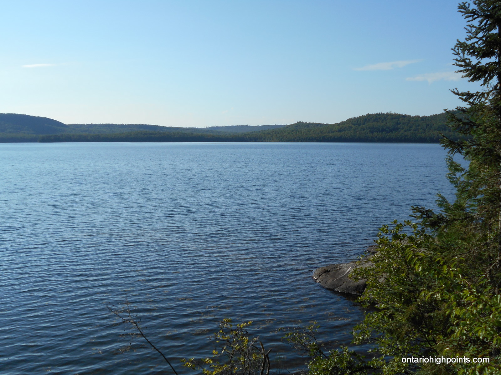
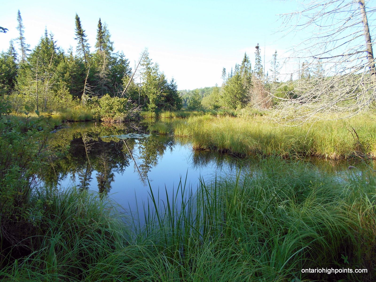
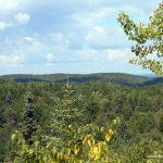
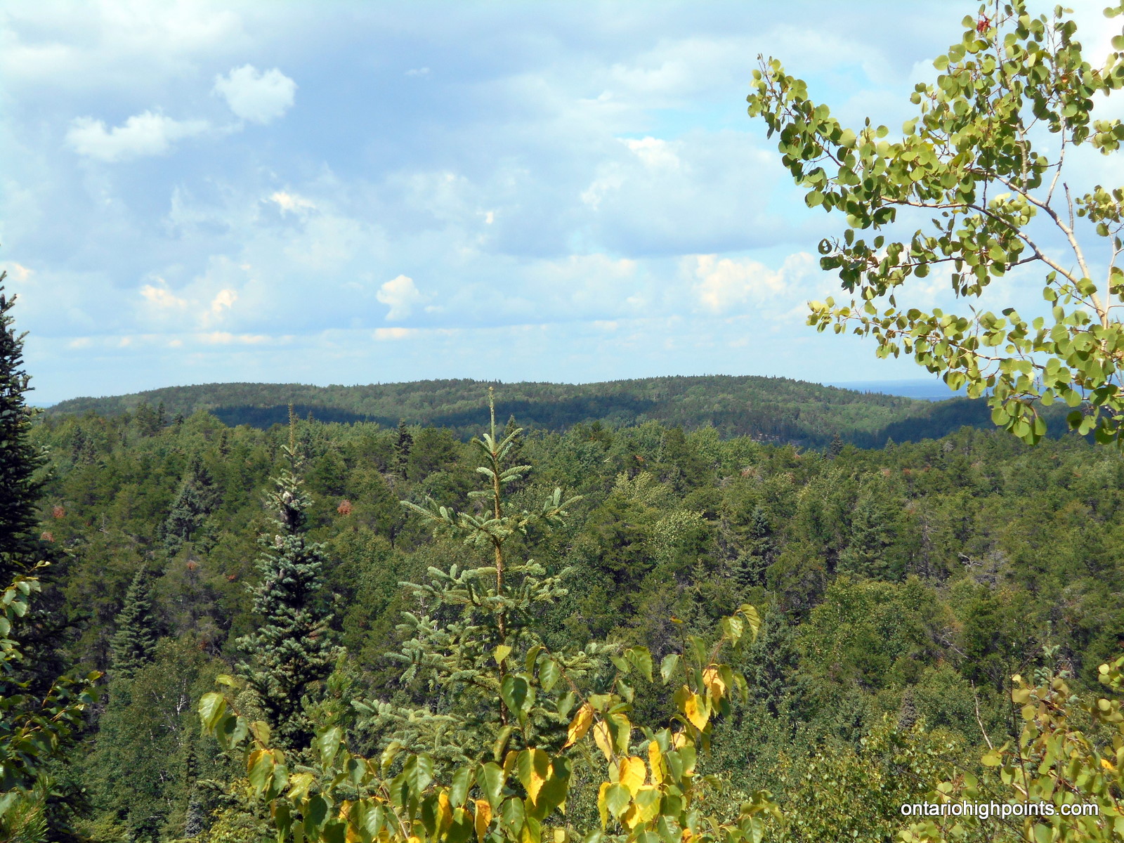
Little North Lake Peak as seen from the Border Route Trail, MN
Height: 2100 feet / 640 meters
Lat/Lon: N48.1396 W90.5864
Clean Prominence: 436 feet / 133 meters
Line Parent: Prelate Lake Peak
Key Col: N48 11.169 W90 22.162 (1706ft / 520m)
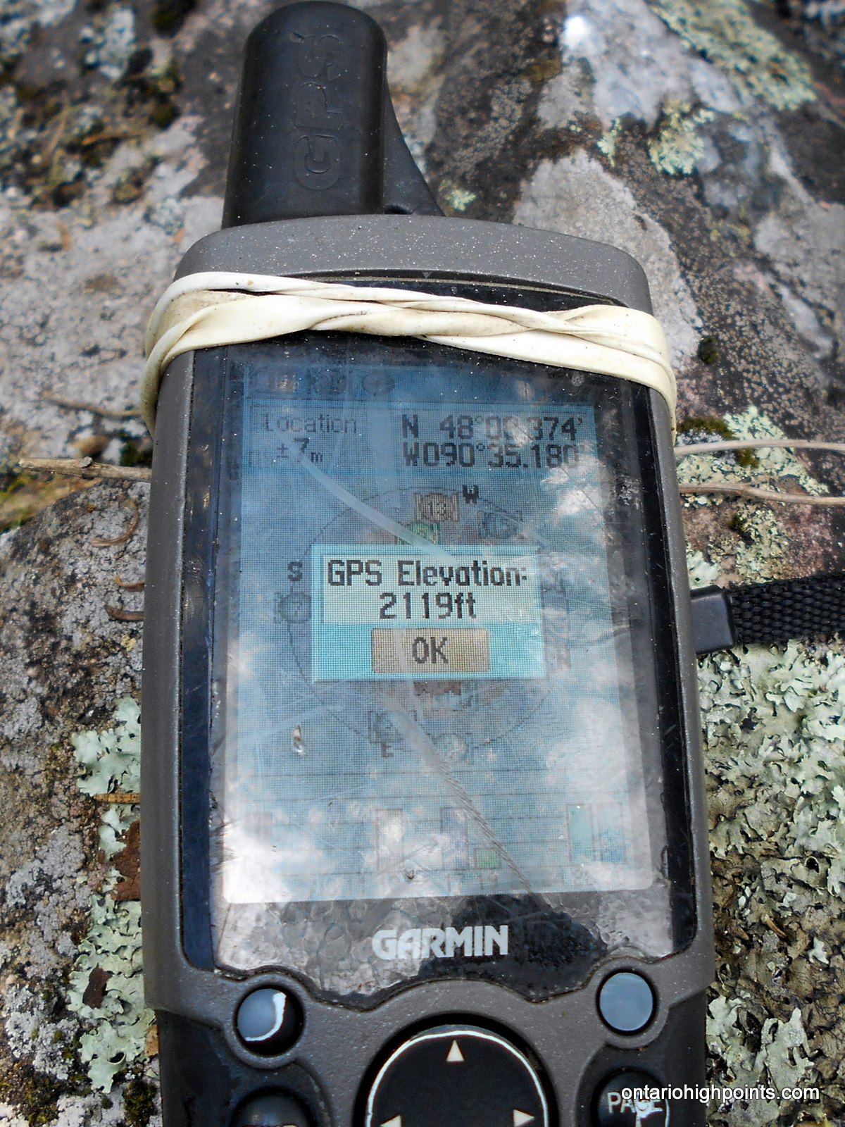
GPS recorded height: 2119 feet / 646 meters
Date Summited: July 31, 2016
Overview:
Rising 500 feet above the Gunflint-North Lake chain, Little North Lake Peak lies at the southwestern edge of a range of hills west of Thunder Bay. Situated just 2 km north of the (Minnesota-Ontario) border, the peak can be accessed via a rough trail which traces the route of the defunct Port Arthur, Duluth & Western Railway.
Directions:
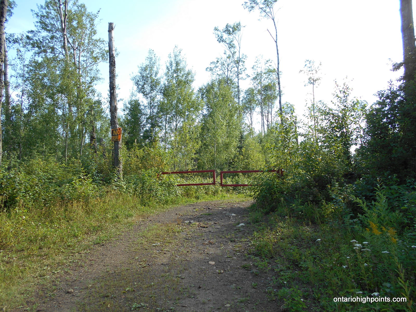
From Thunder Bay, proceed west on Hwy 11/17. Just (4 km) before Kakabeka Falls, turn left onto Hwy 588. Follow Hwy 588 for 75 km through Stanley, Nolalu and Suomi, until reaching Addie Lake Road. Turn left onto Addie Lake Road and follow it southwest for 8.6 km. Turn right at the fork at 4.7 km, turn right again at the fork at 5.6 km (logging operation in 2016), cross a small bridge and follow the road for the remaining 3 km to its termination at a gated private road.
Park alongside the road (don’t block the gated road) and find the start of the overgrown railway bed to the right of the gated road. The railway bed follows the north shore of North Lake. Proceed along the railway bed on foot for 700 meters, past the camp complex on the left to a 4-way intersection. Follow the railway bed west for 5 km to Trestle Bay.
The old railway used to cross Trestle Bay via a 1000 foot trestle bridge, however it was destroyed by a forest fire back in 1909. Follow a rough detour trail to the marshlands at the north end. At this point, you will need to bushwhack around the swamp and flooded areas, cross a couple streams and regain the detour trail at the west side. Once back on the detour trail, follow it south back to the railway bed trail.
Follow the railway bed to Little North Lake and begin the bushwhack to Little North Lake Peak near the following coordinates: N48 07.578 W90 34.765. Follow a compass bearing of 343 degrees – parallel a creek valley for 1.6 km to the summit. The summit is at the top of a open ridge running northeast-southwest. There are good views northwest to Peak 631.
View a larger version of the map
Trip Summary:
00.0 km – Departed North Lake along old railway bed (7:47 AM)
00.7 km – Arrived at 4-way intersection (8:00 AM)
05.8 km – Arrived at Trestle Bay (9:30 AM)
06.4 km – Arrived at north end of Trestle Bay – bushwhack (9:47 AM)
07.1 km – End of Trestle Bay bushwhack (10:14 AM)
07.8 km – Rejoined trail along old railway bed (10:28 AM)
10.7 km – Start of bushwhack to Little North Lake Peak (11:33 AM)
13.0 km – Arrived at the summit of Little North Lake Peak (12:48 PM)
13.0 km – Departed summit (1:18 PM)
15.0 km – Arrived back at old railway bed at Little North Lake (2:25 PM)
17.9 km – Arrived back at Trestle Bay (3:34 PM)
25.6 km – Arrived back at parking area on North Lake Road (5:55 PM)
Gallery:
-
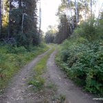
- Road to North Lake
-
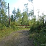
- End of North Lake Road – Private Camps ahead
-
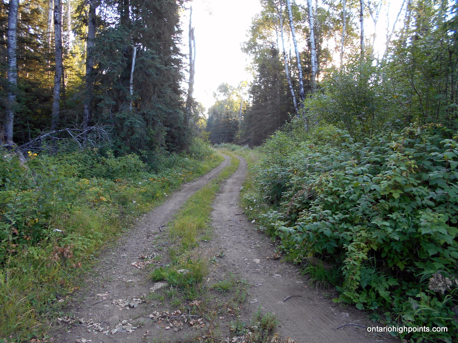
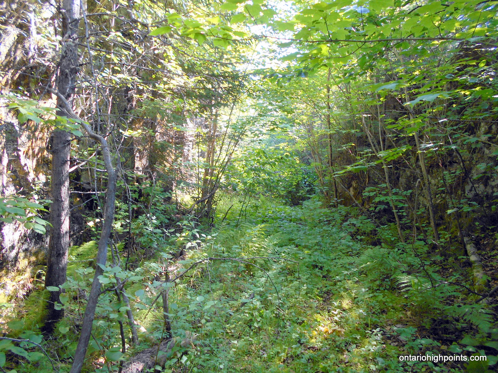
- Old railway bed – overgrown
-
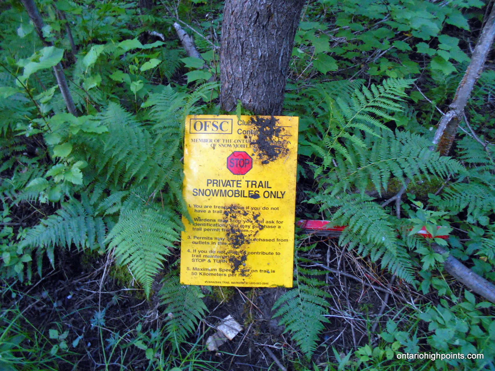
- Old Snowmobile Trail Sign
-
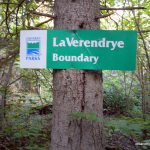
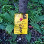
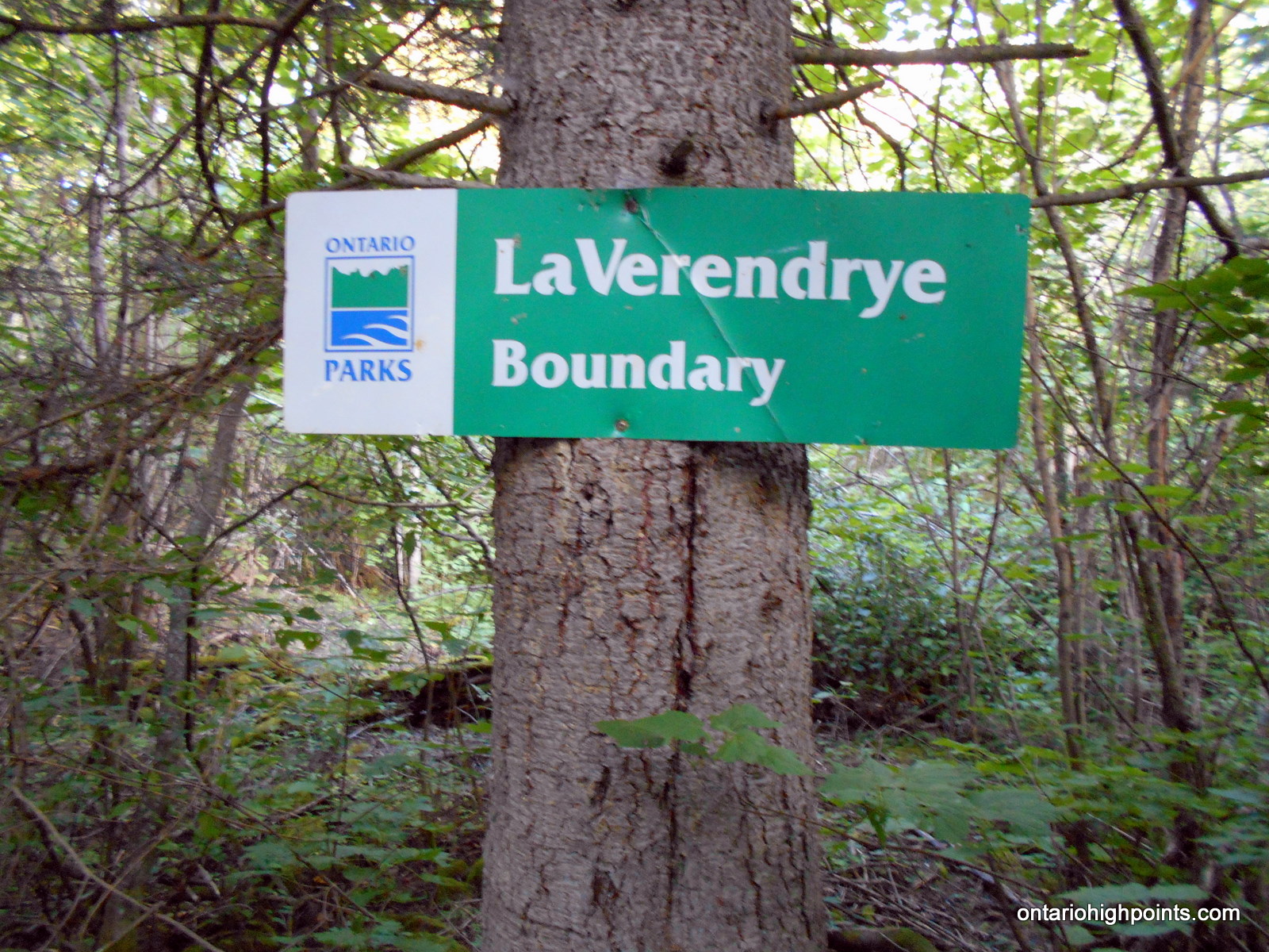
- LaVerendrye Provincial Park Boundary Sign
-
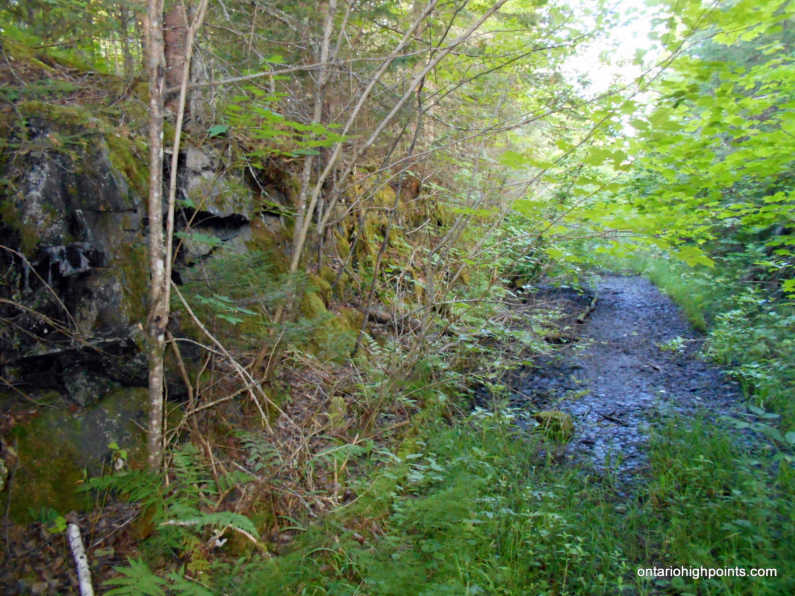
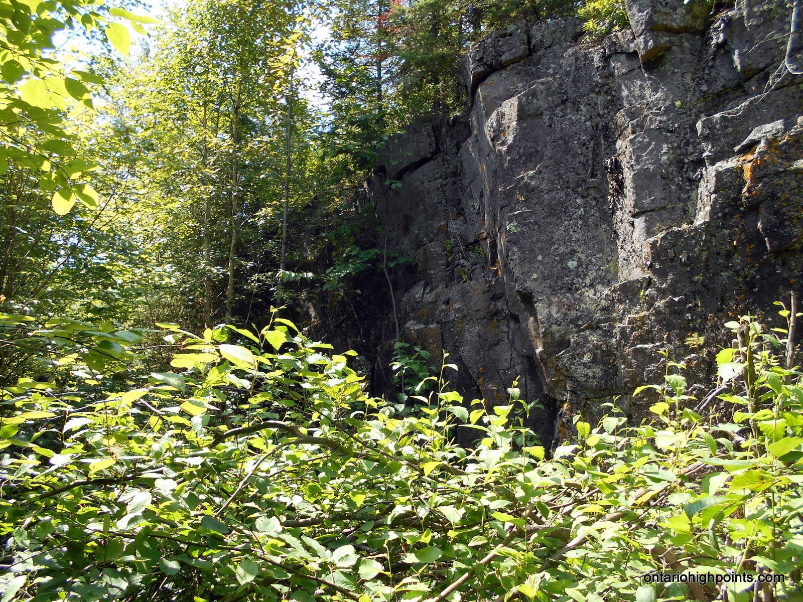
- Railway rock cut (Port Arthur, Duluth and Western Railway)
-
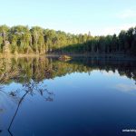
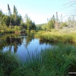
- Pond with beaver lodge
-
- Small clearing on North Lake (Greer’s Logging Camp)
-
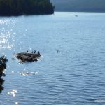
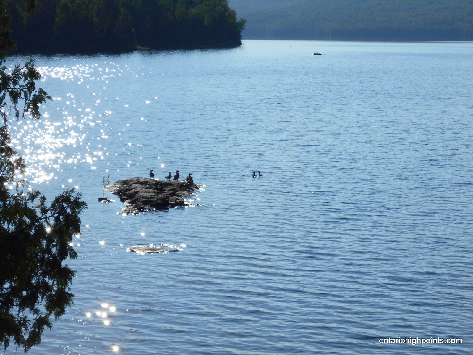
- Waterfowl on North Lake
-
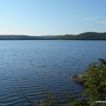
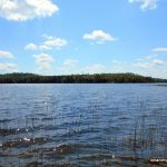
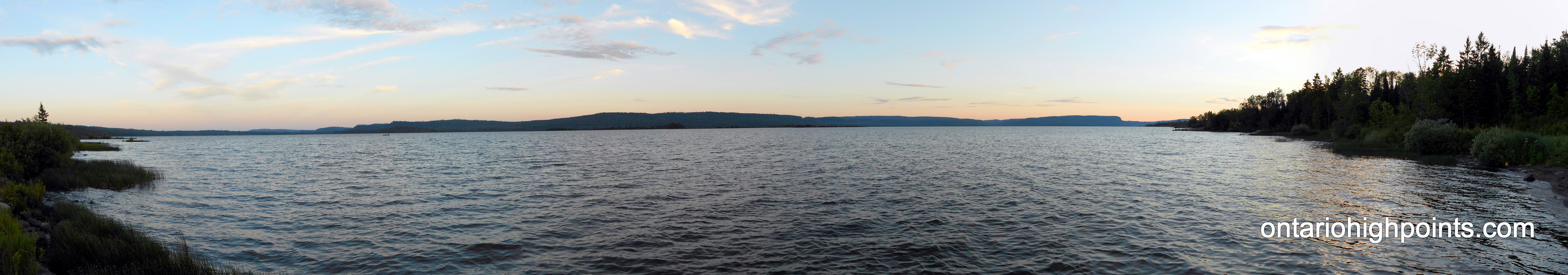
- North Lake
-
- Looking across Trestle Bay on North Lake
-
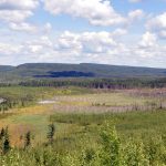
- Creek/swamp at the north end of Trestle Bay
-
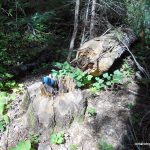
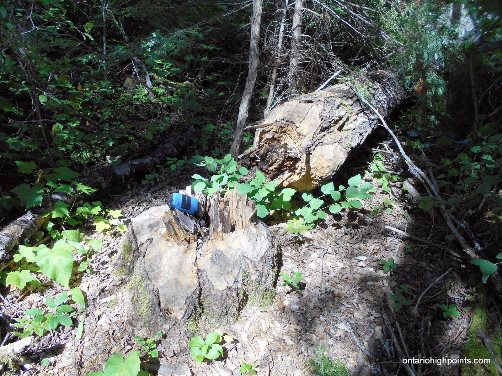
- Large poplar tree felled by beavers
-
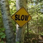
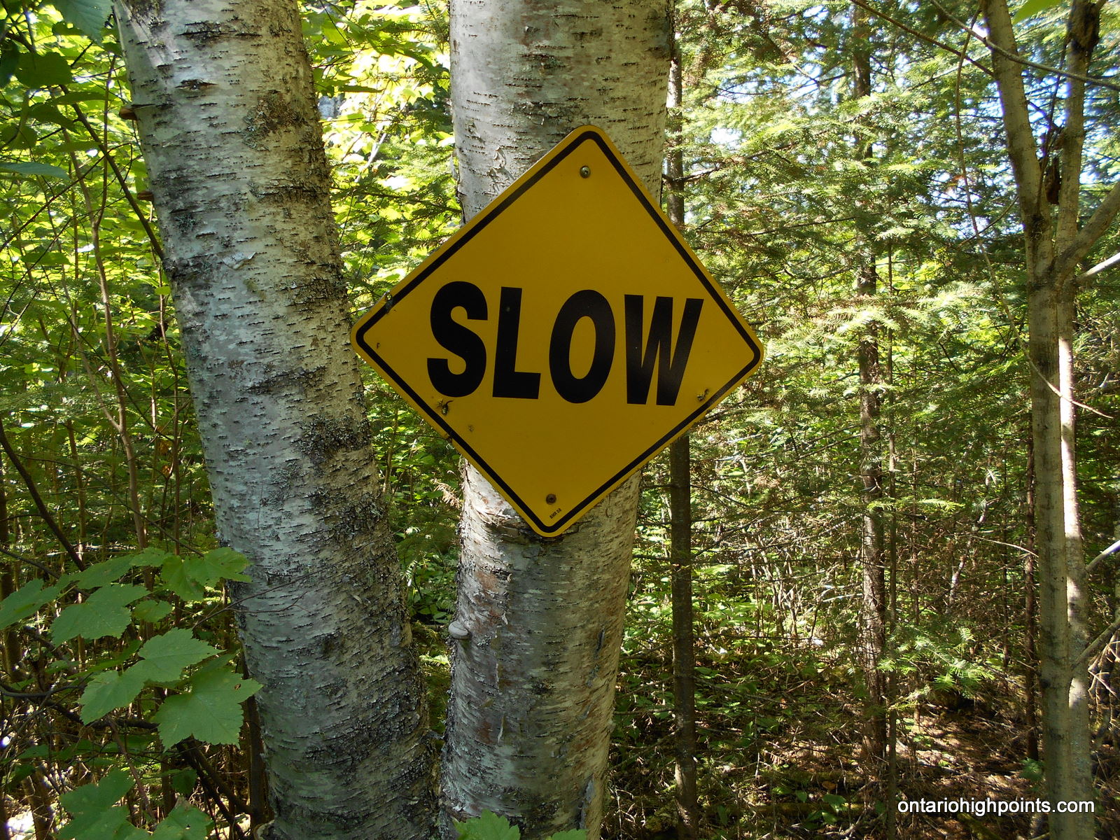
- Slow sign – cautioning snowmobilers
-
- Another rock cut along the old railway bed
-
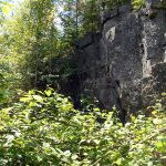
- Rock cut
-
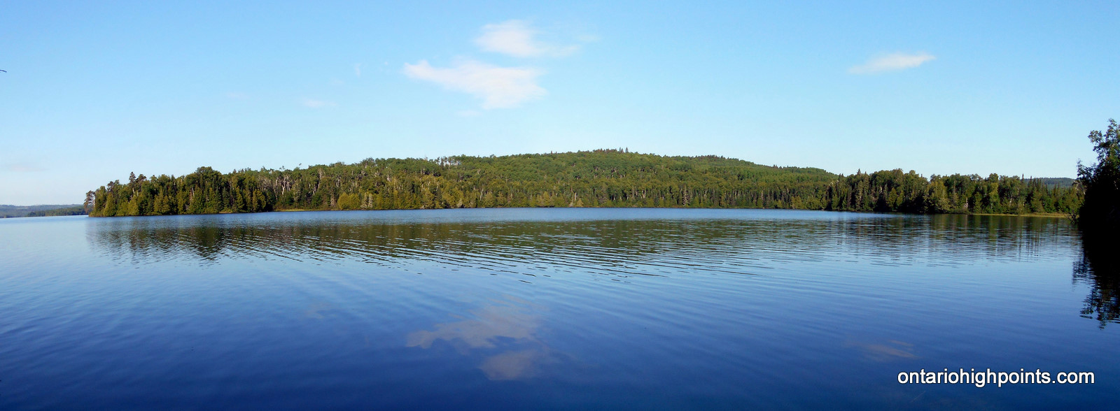
- Little North Lake
-
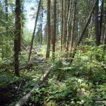
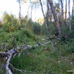
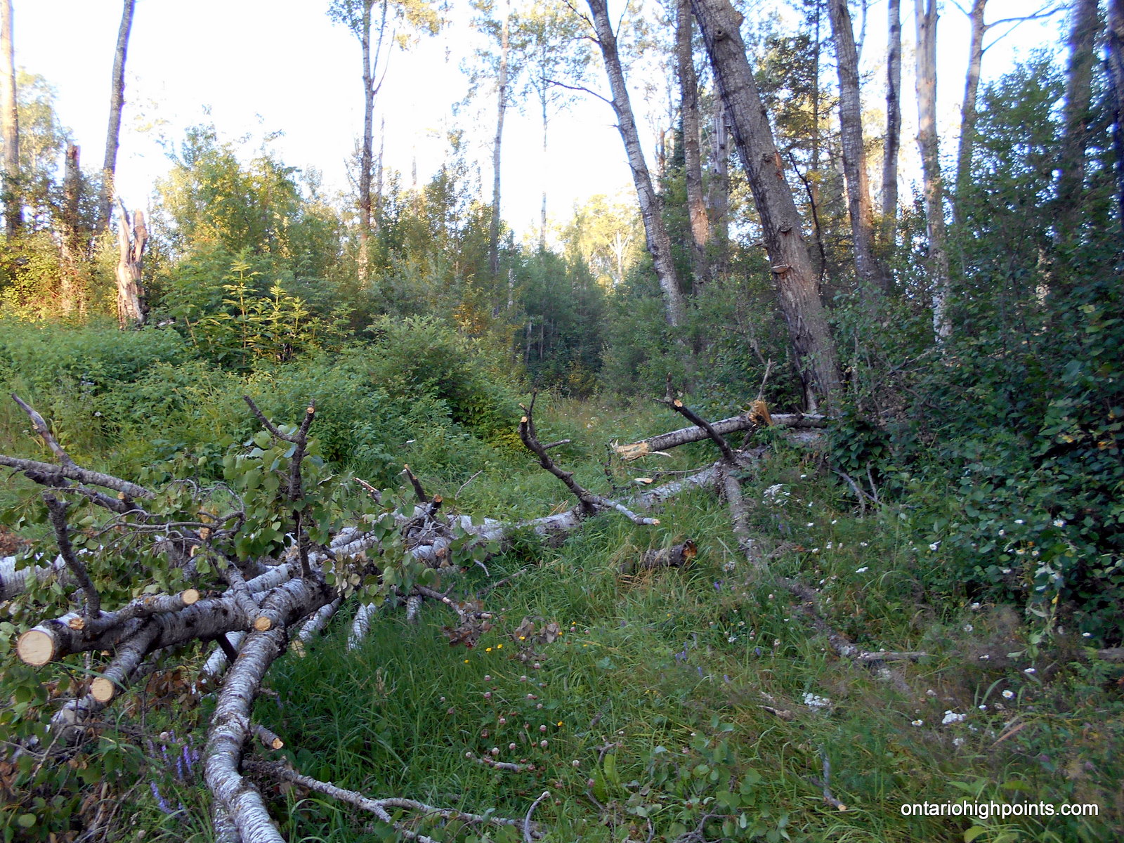
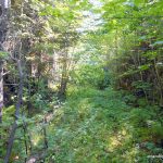
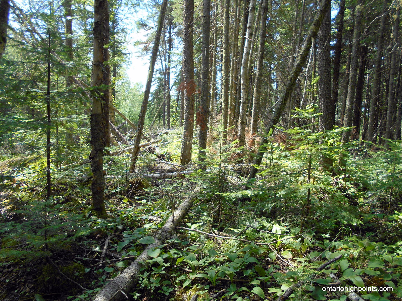
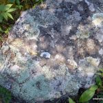
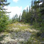
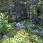
- The bushwhack – lots of deadfall
-
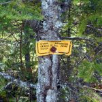
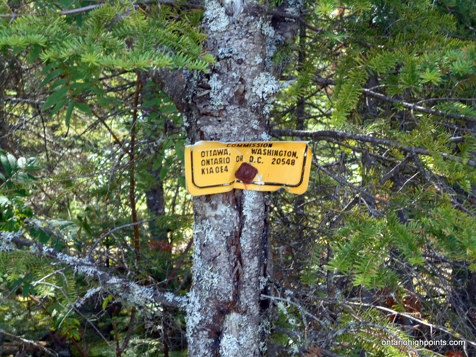
- 1/2 of an International Boundary Commission sign at the summit
-
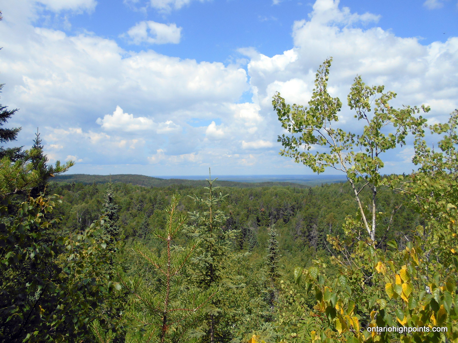
- View west to Peak 631
-
- View northwest
-
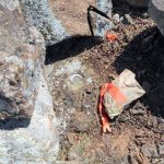
- Survey pin, buried under a rock
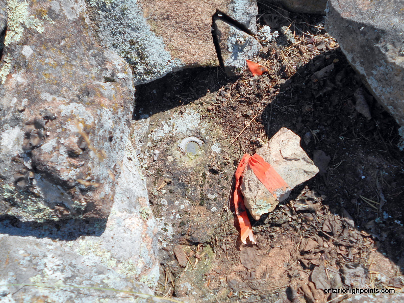
-
- Metal spike driven into a rock
-
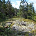
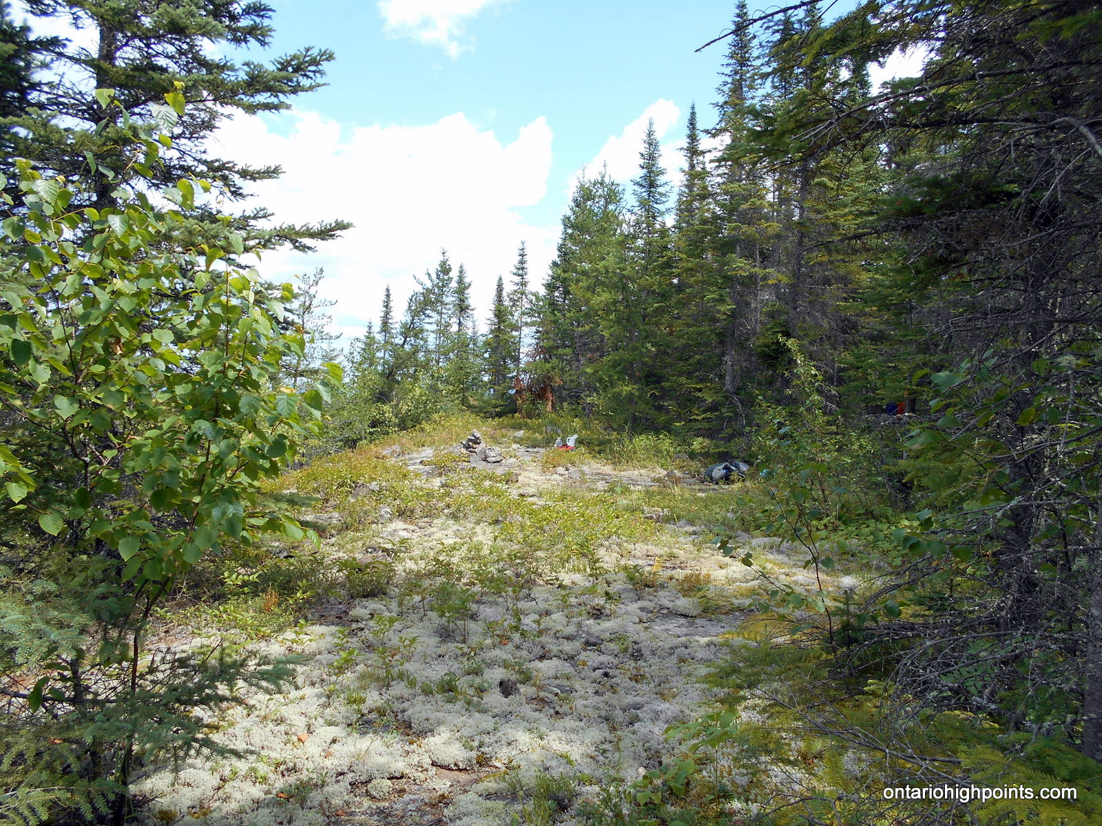
- Summit area – facing southwest
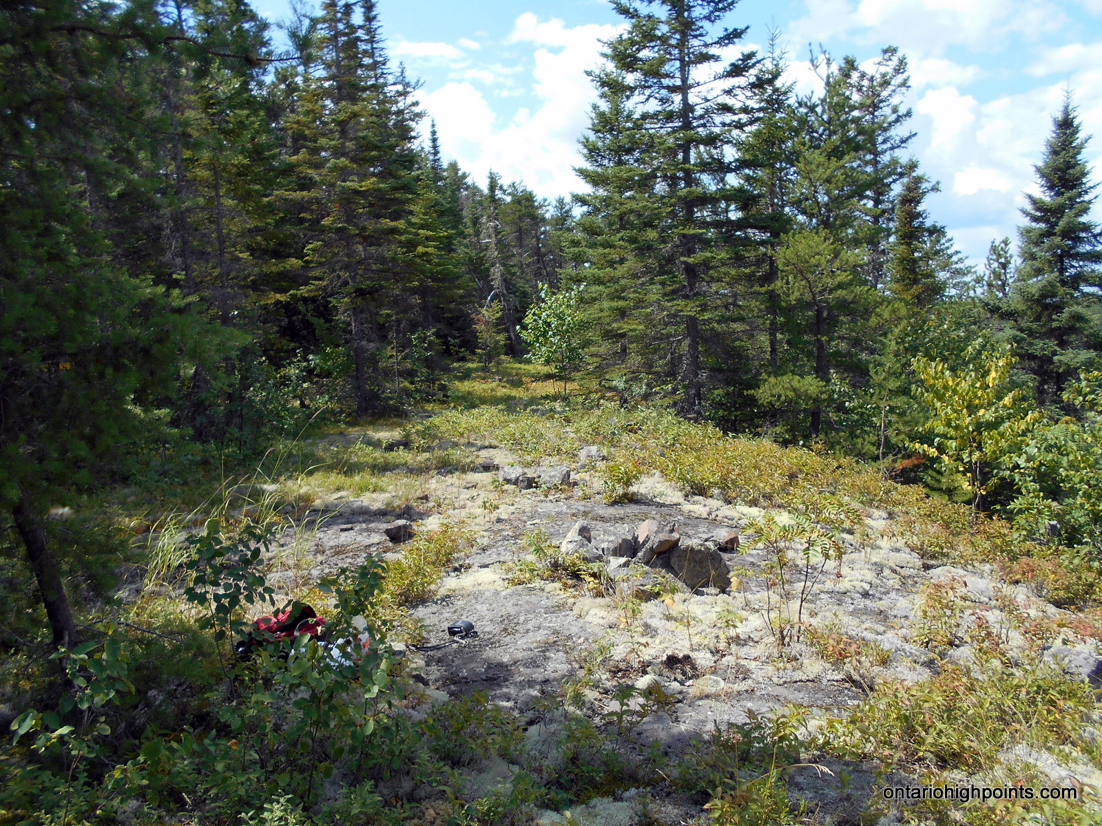
-
- Summit area – facing northeast
-
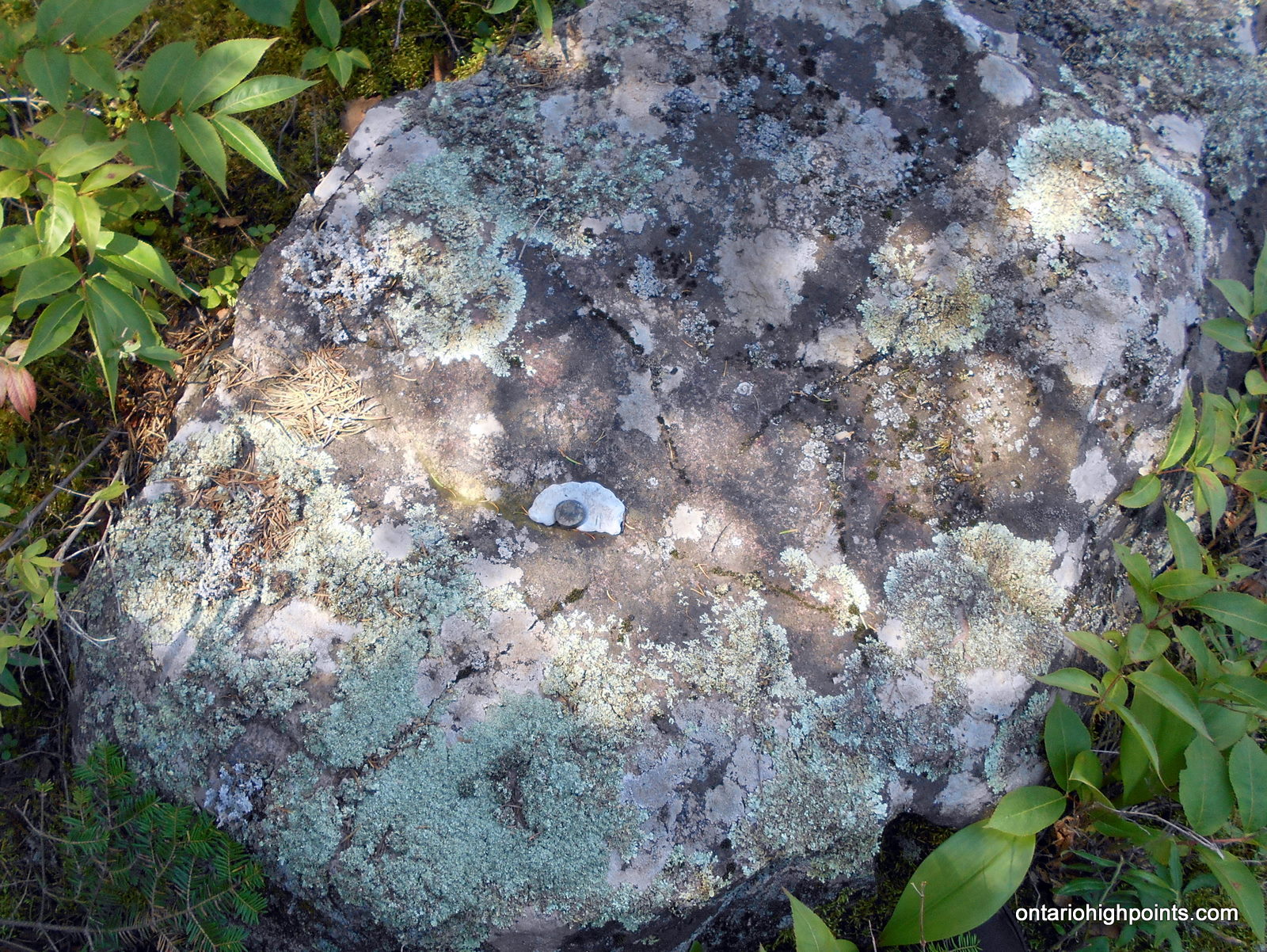
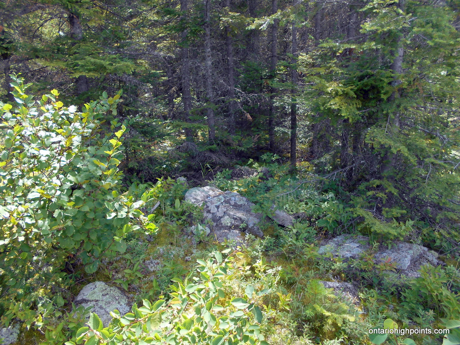
- Highest point on Little North Lake Peak
-
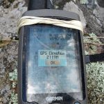
- GPS elevation
-
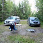
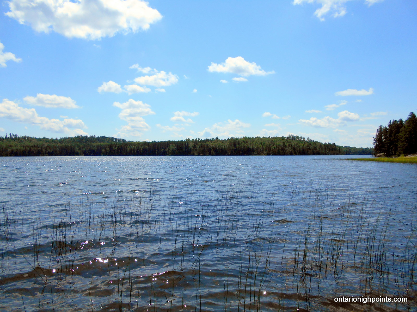
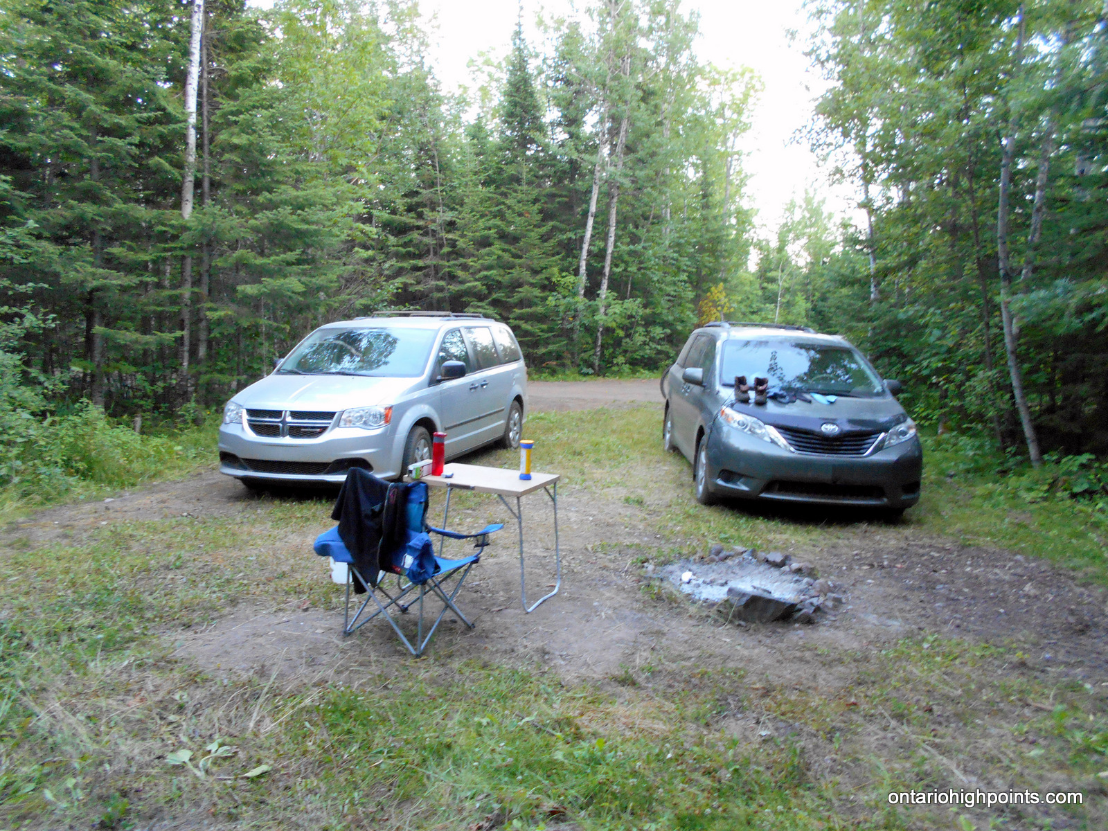
- Our campsite at Whitefish Lake
-
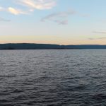
- Whitefish Lake at dusk
-
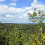
- Little North Lake Peak as seen from the Border Route Trail, MN
Videos:
Trip Report:
Day 8 of my Western Ontario peakbagging trip.
Ben and I made the trip from our campsite at the east end of Addie Lake down to the end of Addie Lake Road near North Lake. We parked near the gated private road and found the start of our hike along the overgrown remains of the old Port Arthur, Duluth & Western Railway which forked off from the north side of the road.
We suited up and started our hike west along the railway bed and immediately had to dodge around fallen trees and thickets of tag alders. My opinion is that the trail will not be passable in a few years if no maintenance is performed. After a short distance, we arrived at a 4-way intersection. To the south we could see a camp complex with numerous buildings. We ignored the south and north routes and continued west through the intersection. Just past the intersection, we spotted a boundary sign for the LaVerendrye Provincial Park hanging on a tree. We passed by the sign and entered the park.
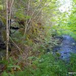
The trail was at times overgrown with sections of alders and at other times, easy going grassy meadow. We hiked through several rock cuts (sections of the railway bed that were blasted through the rock), over several streams and across a beaver dam along the edge of a picturesque pond. We were greeted with great views of majestic North Lake when the railway bed approached it.
The overgrown, yet well graded trail ended (temporarily) at Trestle Bay, where the Port Arthur, Duluth & Western Railway would have crossed the bay along a trestle bridge. As the bridge is long gone, we had to detour around the bay. Luckily for us, the local snowmobile club, who have used the railway bed in the past as a snowmobile trail, had also groomed a trail around the bay. Although it was even more overgrown than the railway bed, we were able to follow this trail to the north end of the bay.
The north end of the bay was a mess of swamp and beaver destruction which took us 30 minutes to bushwhack around. At the west side, we rejoined the snowmobile trail and followed it south back to the old railway bed.
Once back at the railway bed trail, the conditions seemed to improve and we were able to hike through several grassy meadow sections. A short time later, we arrived at Little North Lake and made our way to the designated GPS coordinate for the start of our bushwhack. Most of the bushwhack was through open forests, but over and around a copious amount of deadfall. On other sections we were greeted by our usual nemesis, spruce and tag alder thickets.
After just over an hour of bushwhacking, we reached the rocky ridge-summit of Little North Lake Peak. We were greeted with views northwest towards Peak 631 and beyond. We found what we presumed was the remains of a surveyors sign, a surveying pin buried under some arranged rocks and found a few bolted rocks. We took stock of surroundings and declared the highest point to be on one of the bolted rocks. We built a rock cairn to mark the spot.
There were a lot of bugs at the summit, which kept us moving. After a brief rest, we started on our return. Making quicker time on our descent, we arrived back at the shore of Little North Lake. The waves were picking up out on the Lake. As we hiked east along the shore, we saw a boat out on the lake. I waved, but I’m not sure they saw us between all the trees.
We returned back to the gate on Addie/North Lake Road via the same route. It was a long, hard day, and I felt pretty tired after 10 hours of bushwhacking and crashing through partially overgrown trail. Once back in our vans, we drove east to Hwy 588, then east along Hwy 588. Near Suomi, we managed to find one of the last open campsites at the public (and free) camping area on Whitefish Lake.
GPS Tracklog (GPX Format):
Little North Lake Peak GPS Track
Related Links:
Port Arthur, Duluth & Western Railway & Blog
Port Arthur, Duluth & Western Railway YouTube Channel