Sister Lake Peak
Posted by Derek on Oct 19, 2013
aka.: Peak 579 (no official name)
Height: 1900 feet / 579 meters
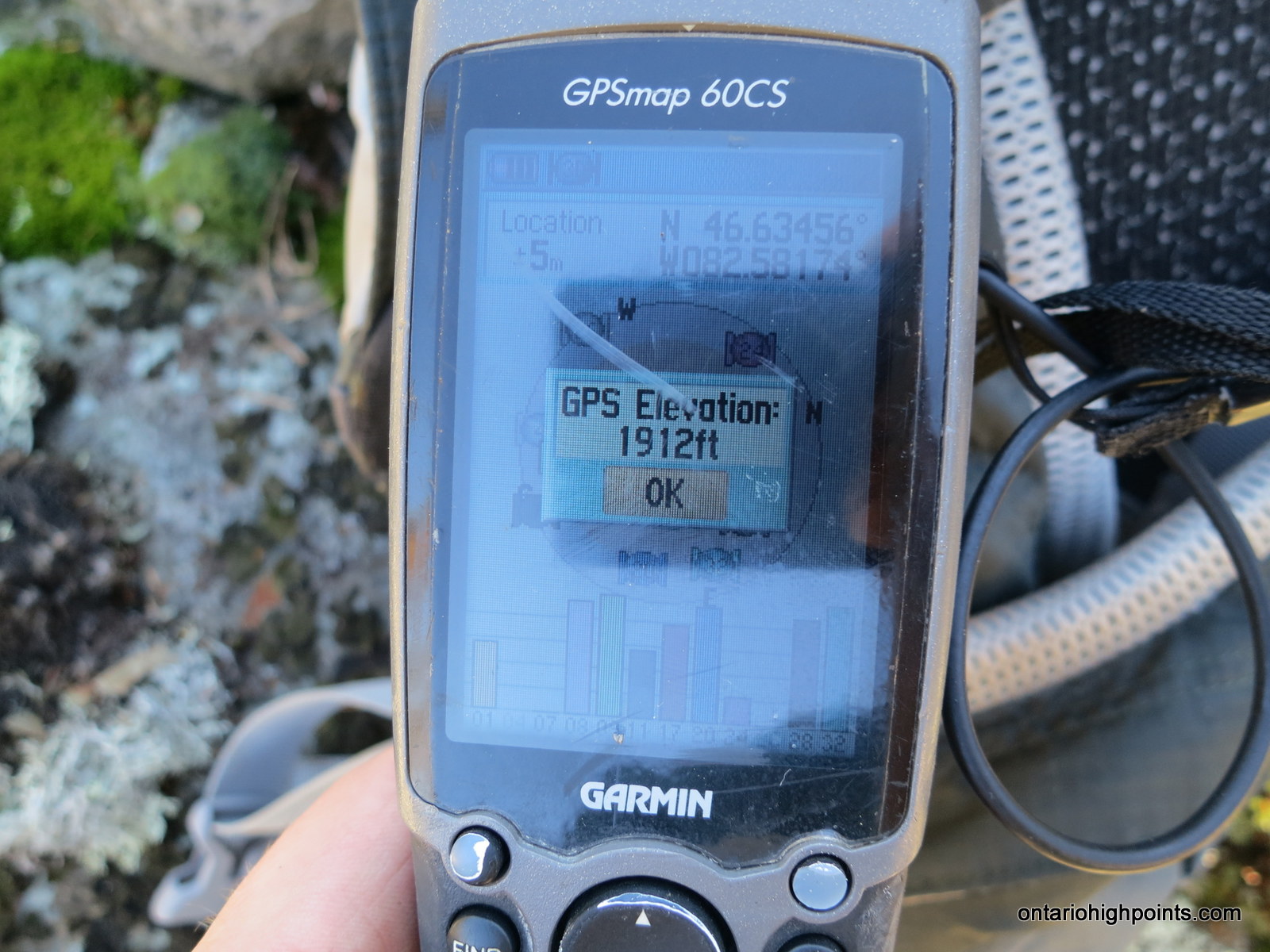
GPS recorded height: 1912 feet / 583 meters
Lat/Lon: N46 38.074 W82 34.898
Date Summited: October 12, 2013
Overview:
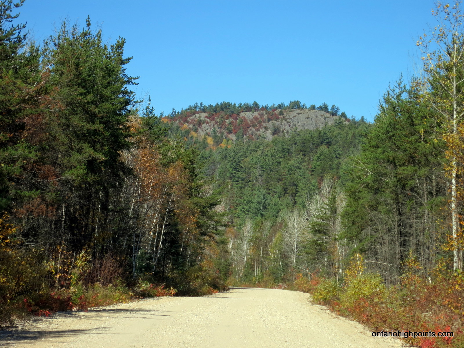
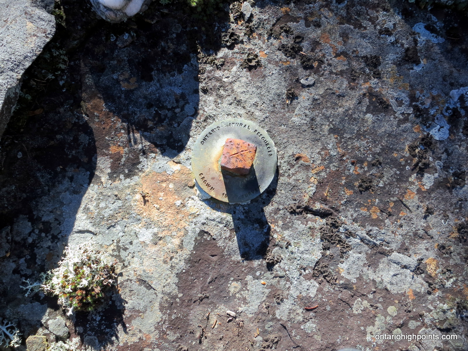
Sister Lake Peak (Unofficial name) is the highest point in the Rawhide / Mississagi Provincial Park area, a region north of Elliot Lake. The peak marks the highest point along a ridge formation which includes nearby peaks: Thunder Mountain and Mt. Belvedere. An Ontario MNR survey monument marks the highest point on the peak. Although the summit is open — atop exposed bedrock, there are no views at the summit. There are however, partial views on route to the peak.
Directions:
From the intersection with Hwy. 17 at Serpent River, take Hwy. 108 north to Elliot Lake for 27 km. Continue north along Hwy. 108 through Elliot Lake. At Quirke Mine Road, 42 km from Hwy 17, Hwy. 108 becomes Secondary Highway 639. Continue northward along the road for 17.4 km and pass through Mississagi Provincial Park. Just past the northern boundaries of Mississagi, you will arrive at Boland River Road. Turn right onto the well groomed sand and gravel road and follow it east for 18.1 km until reaching a turn off with a quad trail which heads north (left) from the road. Parking is best about 100 meters before the intersection (west) with the quad trail at the crest of a hill alongside the road.
The hike begins along a farily well traveled quad path which heads up the ridge from Boland River Road. Turn right (east) at each of the 2 3-way intersections on route (at 1.3 and 1.6 km respectively). The trail becomes more and more overgrown and eventually ends at 2.1 km. The remaining 600 meters must be bushwhacked, alternating between difficult tag alder bush and more open deciduous forest. The summit area is in a rocky clearing and the highest point is marked by an Ontario Natural Resources survey marker dated 1977.
View a larger version of the map
Trip Summary:
00.0 km – Turned left from Hwy. 639 onto Boland River Road (9:44 AM)
18.1 km – Arrived at trailhead to Sister Lake Peak (10:05 AM)
00.0 km – Trailhead on Boland River Road (10:16 AM)
01.3 km – Right turn at fork (10:35 AM)
01.6 km – Right turn at fork #2 (10:41 AM)
02.1 km – End of trail, beginning of bushwhack (10:50 AM)
02.8 km – Summit of Sister Lake Peak (11:10 AM)
Gallery
-
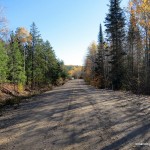
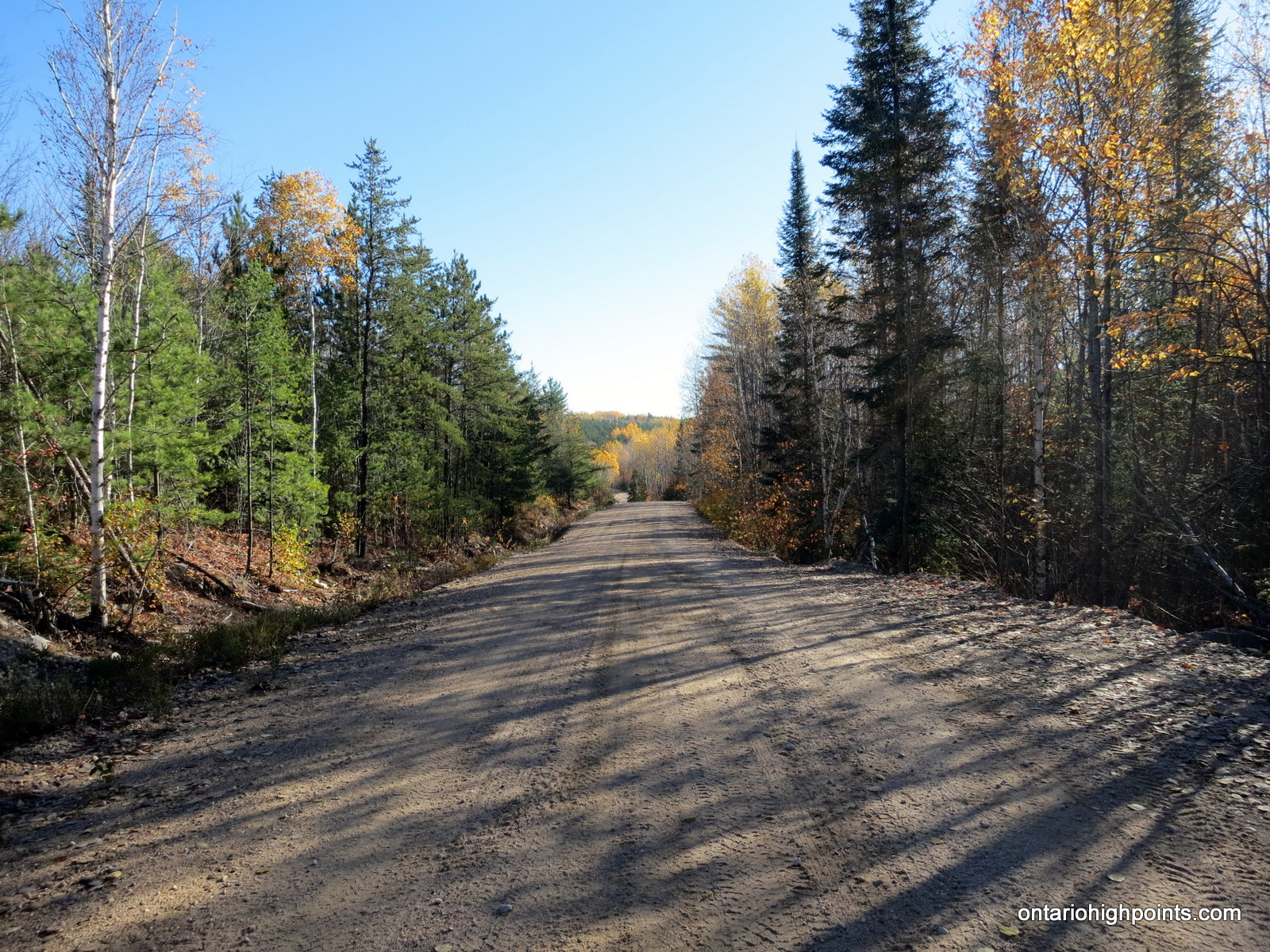
- Boland River Road
-
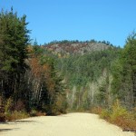
- Thunder Mountain as seen from Boland River Road
-
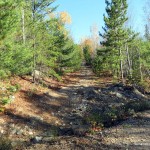
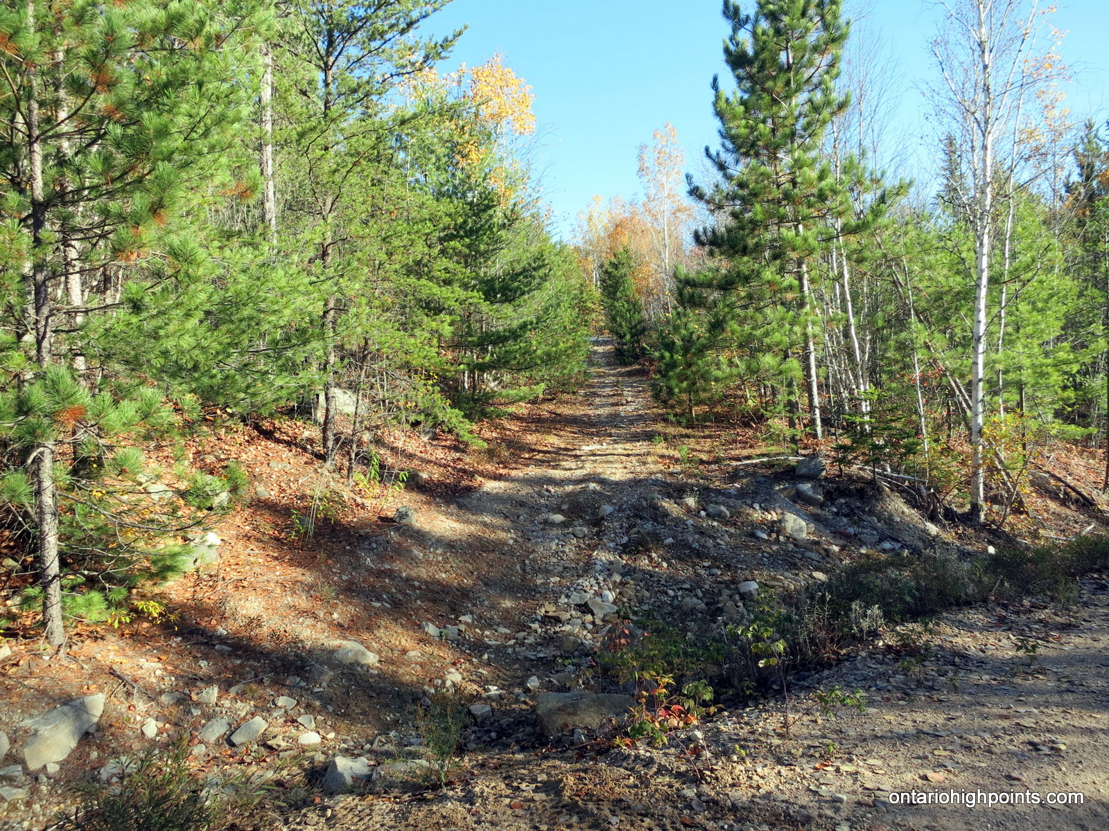
- Start of the hike to Sister Lake Peak
-
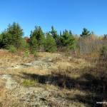
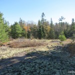
- Clearing on route
-
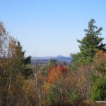
- View west on route to Sister Lake Peak

-
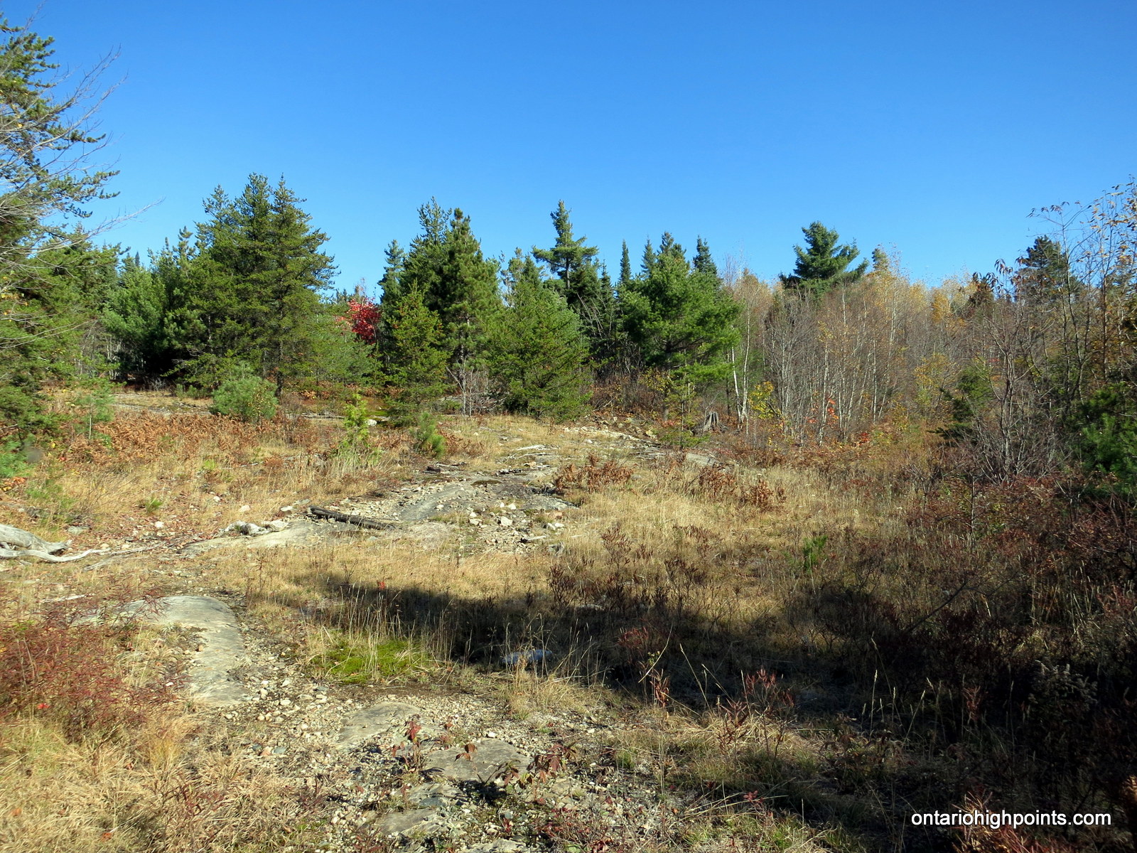
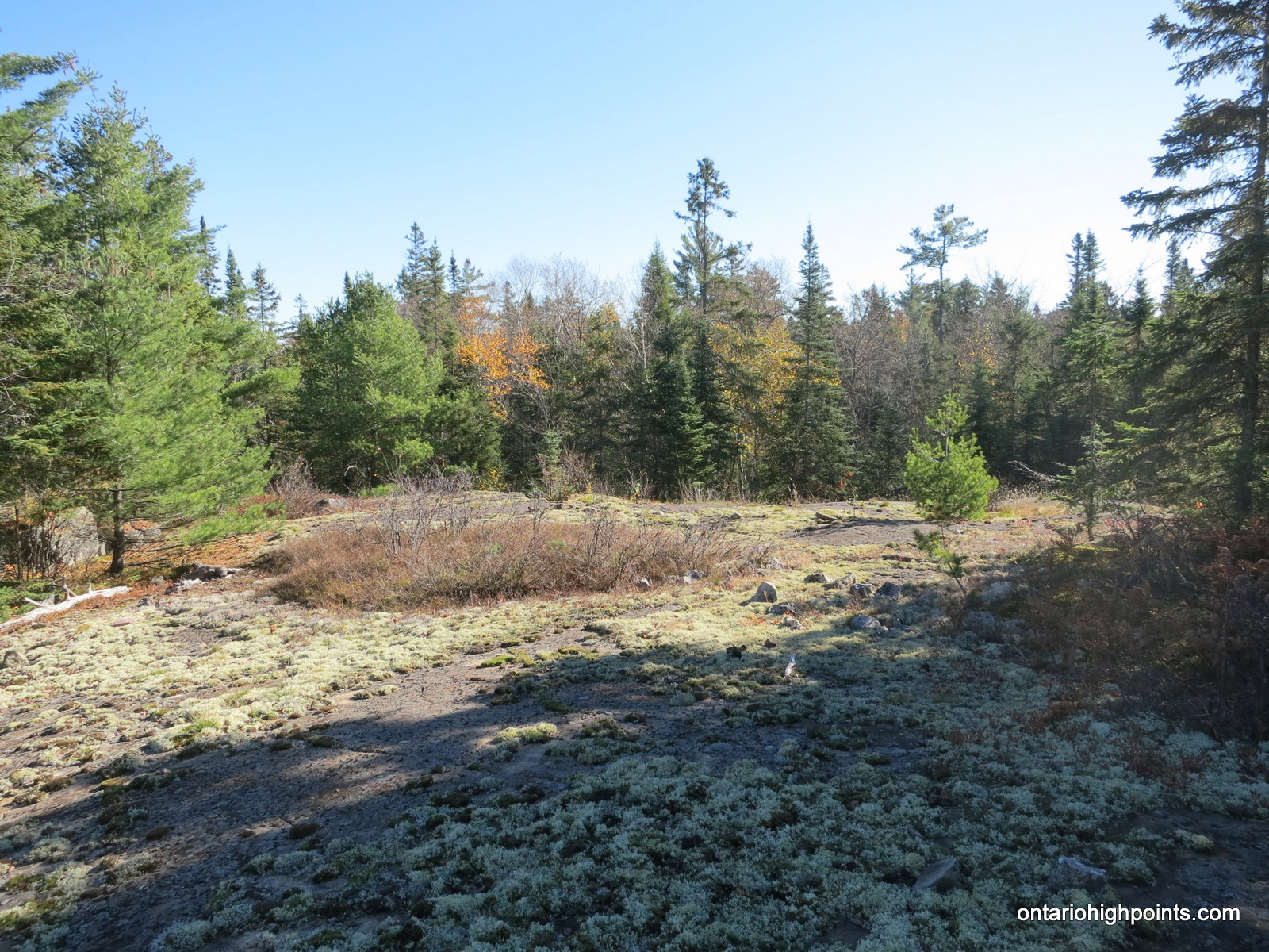
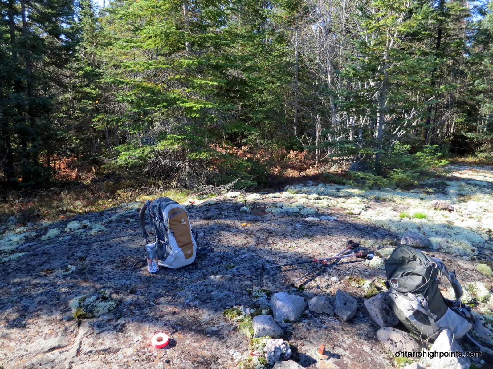
- Open summit area
-
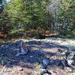
- Summit of Sister Lake Peak
-
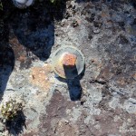
- Survey marker at the summit
-
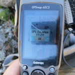
- GPS elevation
GPS Track:
Sister Lake Peak GPS Track (.gpx format)
Related Links:
Peak 579 on Peakbagger.com