Ishpatina Ridge (North Peak) – Overland
Posted by Derek on Sep 23, 2019

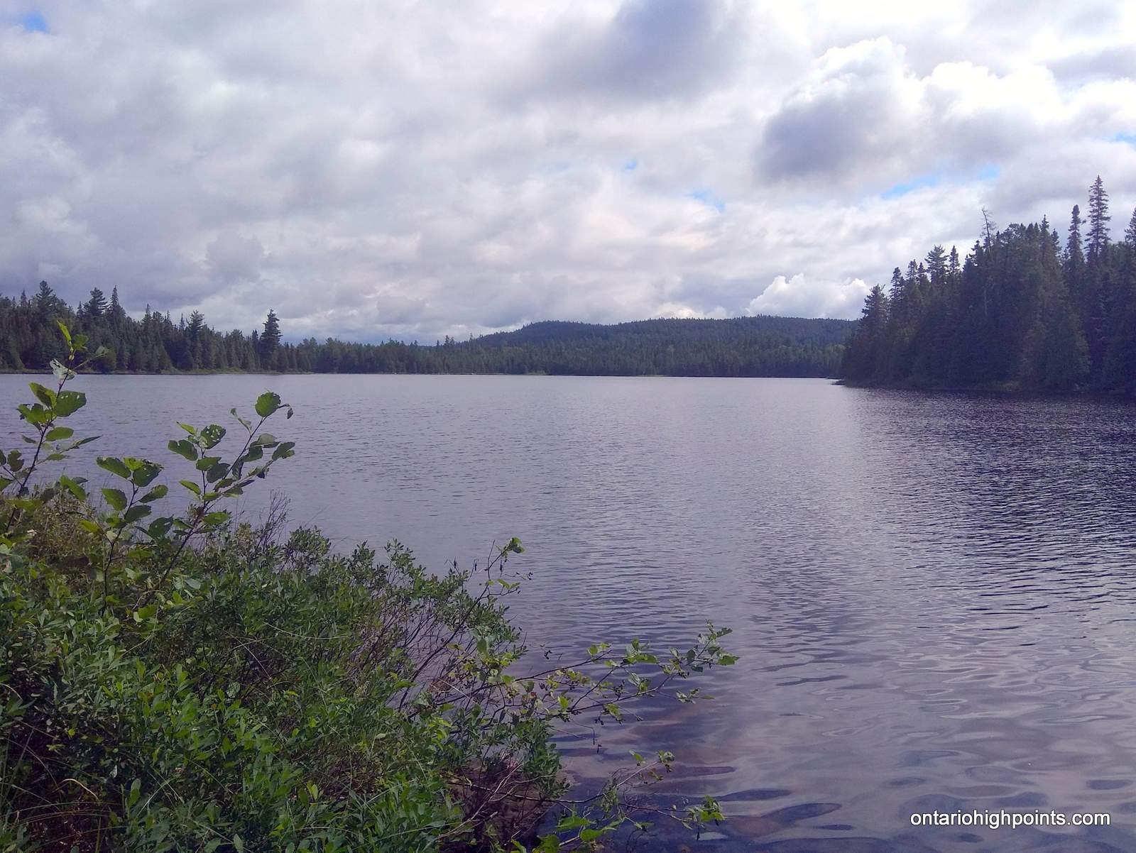
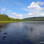
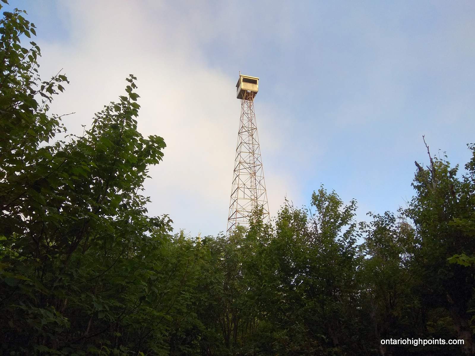
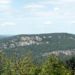
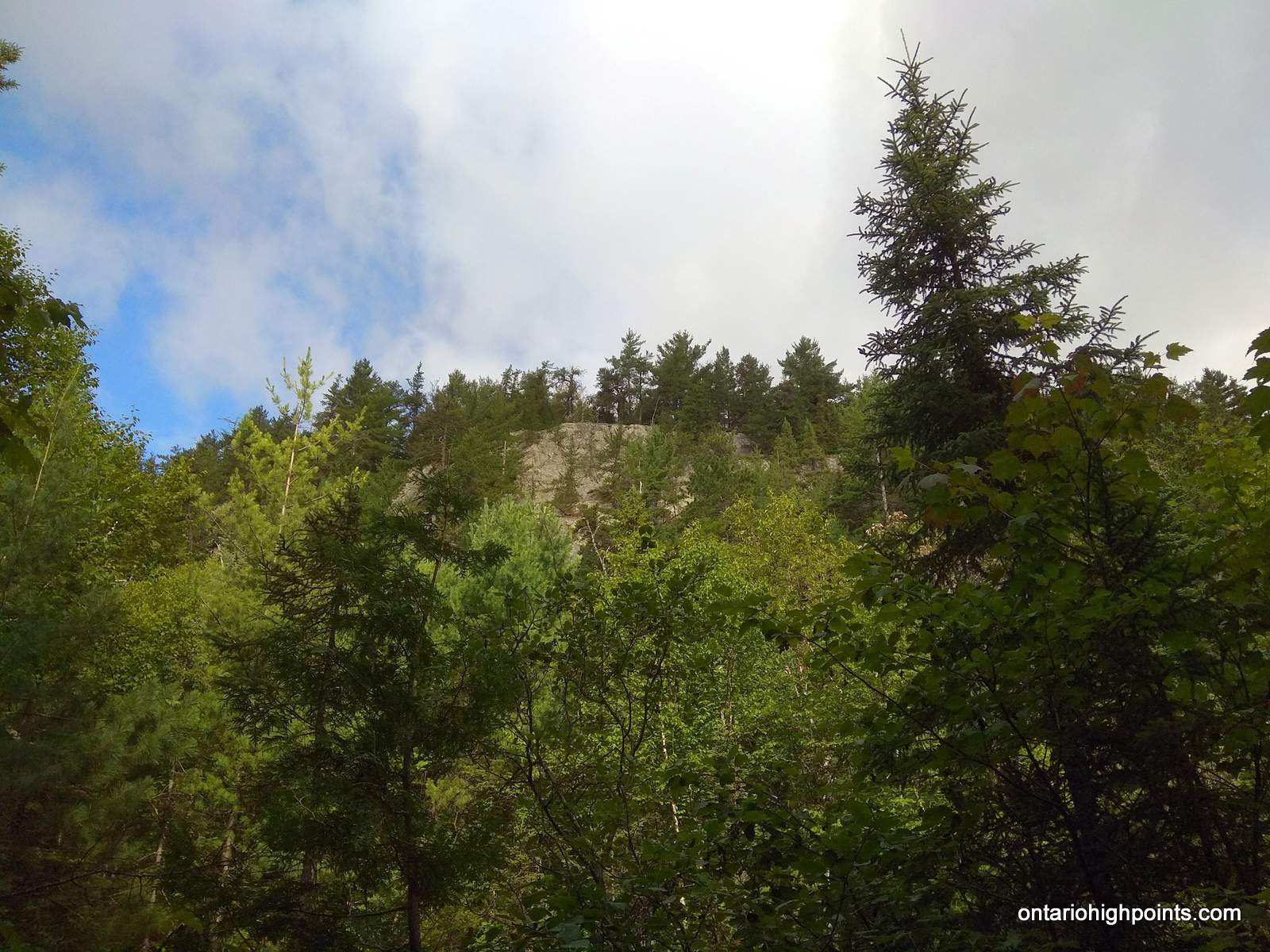
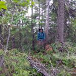
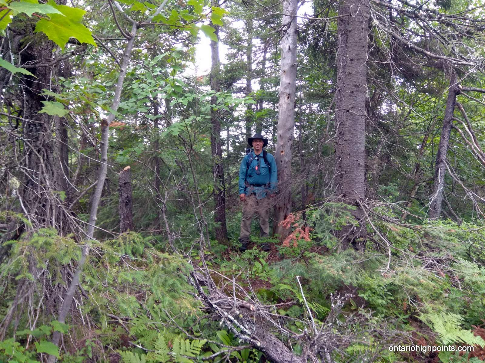
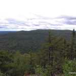
View to North Ishpatina summit
Height: 2234 feet / 681 meters
Lat/Lon: N47.333 W80.7336
Clean Prominence: 604 feet / 184 meters
Line Parent: Ishpatina Ridge (Tower Summit)
Key Col: N47 19.742 W80 44.593 (1640 ft / 500 m)
GPS recorded height: 2247 feet / 685 m
Date Summited: August 9th, 2019
Overview:
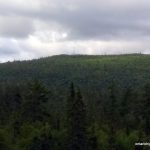
The Ishpatina Ridge traverses several rounded humps and under the Ontario 2100 Footer criteria, 3 of these qualify as being distinct 2100+ foot peaks. The familiar Fire Tower summit of the Ishpatina Ridge is the highest point in Ontario and a popular destination. It is reachable via a trail from Scarecrow Lake. The North Peak as seen from the Fire Tower summit appears to be just as high, but according to Ontario’s Ministry of Natural Resources Ontario Base Maps (OBM) series, it is 43 feet lower. There is no trail to the North Peak of the Ishpatina Ridge and the route from Ishpatina – Tower Peak is hindered by the steep cliffs surrounding the peak.
Directions:
Ontariohighpoints.com documents 2 routes to the North Peak of the Ishpatina Ridge:
- A bushwhack south from the southern shore of Smoothwater Lake. Getting to Smoothwater Lake requires traveling down the Montreal River either by canoe or motorized boat. More information about this route can be found here: Ishpatina Ridge (North Peak)
- A bushwhack north from the Ishpatina Ridge (Fire Tower Peak). There are multiple routes to the Ishpatina Ridge; notably: via canoe from the north and over land from the south. This trip report will document the route to the Ishpatina Ridge (Fire Tower Peak) via the Overland Route, with a bushwhack across the Ishpatina Canyon to Ishpatina North Peak.
Directions to the Ishpatina Ridge and Ishpatina – North Peak via the overland route is as follows:
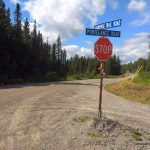
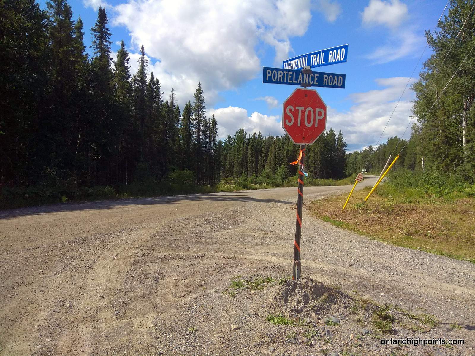
From the Sudbury area, make your way to Garson either via the Falconbridge Highway (RR-86) or the Garson/Coniston Road (RR-90). Take RR-85 for 18.4 km to Hanmer, and after it jogs across the train tracks follow RR-84 to Capreol which is 6.5 km ahead. Passing through the small town of Capreol, continue along the road for another 8.0 km and then turn right onto Portelance Road. It is 64.4 km from the intersection at Portelance Road to the Sturgeon River, so it would be advisable to make sure you have proper provisions before making the trip. Also, the road may have active logging in progress, so caution is advised — give the logging trucks a lot of space.
The first 5 km of the dirt road is fairly wide and well traveled by the residents of the Wahnapitae First Nation Reserve and the camp/cottage residents in the area. The road forks at the Wahnapitae First Nation Reserve sign. Take the left fork and proceed north-northeast for 15.5 km where the road meets up with the Wanapitei River. Continue along the west shoreline of the River for another 5.3 km. Turn right at the fork at km 25.1 (from RR-84) and then cross the bridge over the Wanapitei River at km 25.7 (from RR-84). The road follows the eastern shore of the river for another 8.8 km until reaching Stobie Road which forks to the right. Cars with low ground clearance will have to be cautious as sometimes the gravel can pile up in the center of the road. Turn right (east) onto Stobie Road and follow the road eastward.

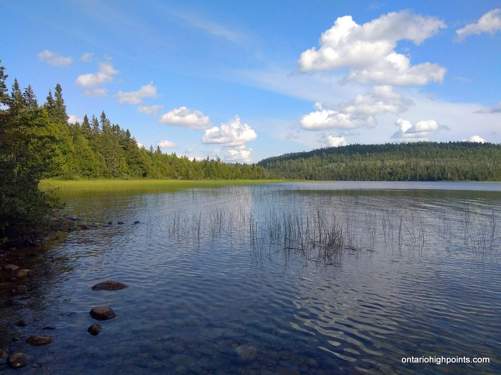
geobase.ca satellite imagery of Portelance, Stobie and Gervais Roads
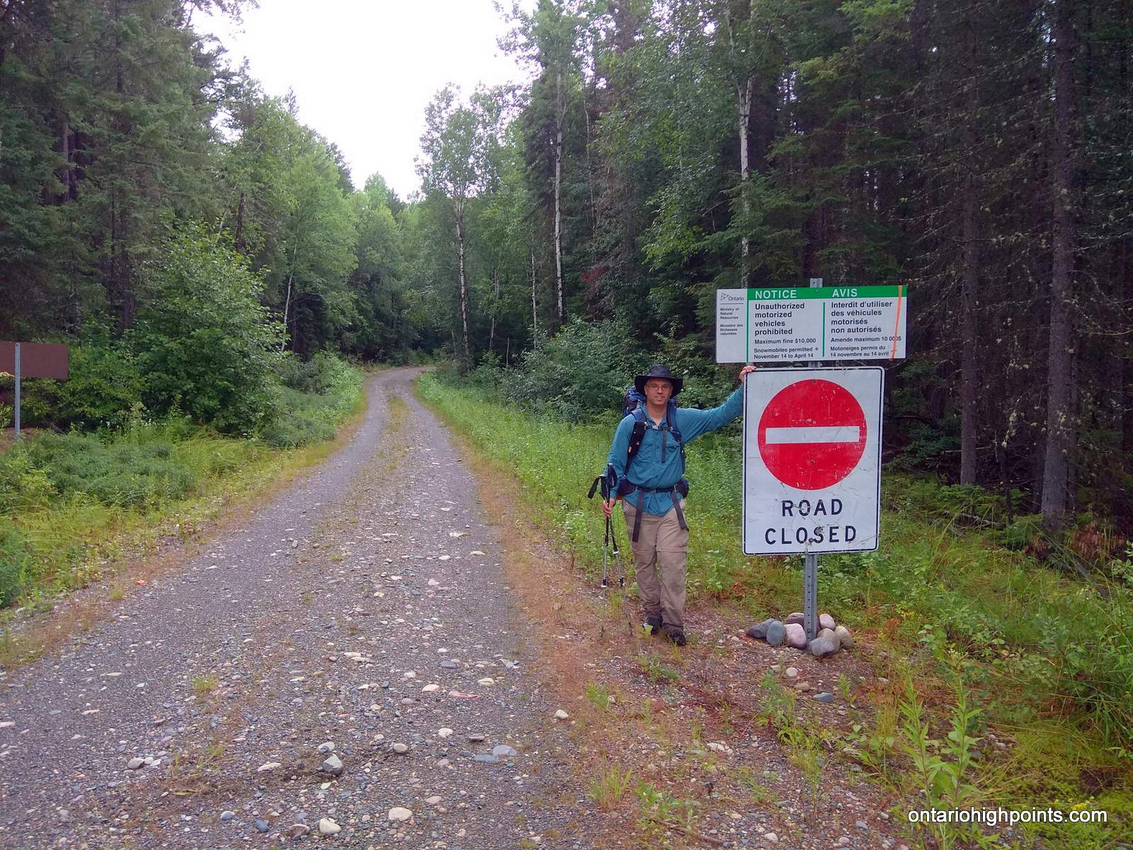
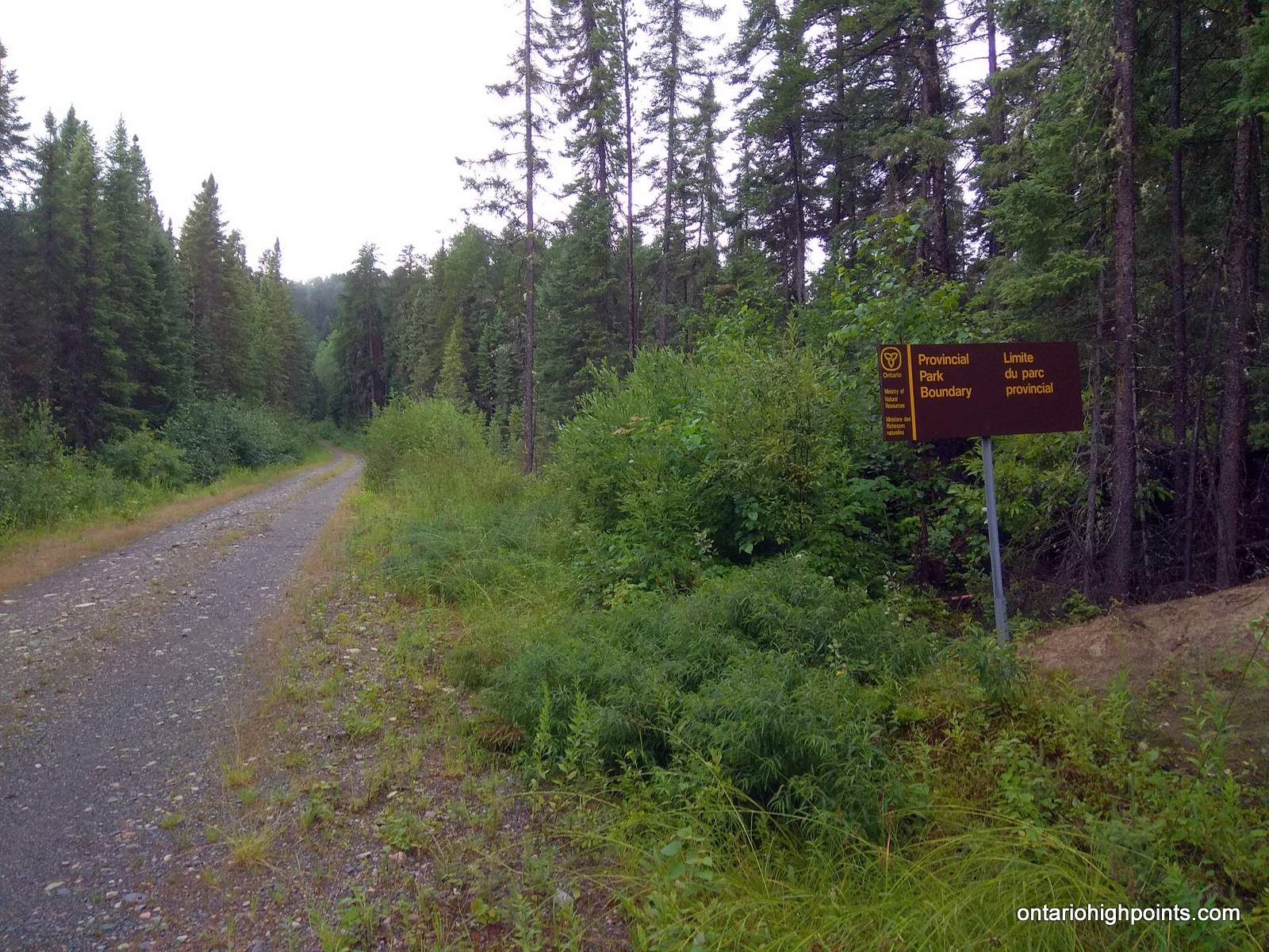
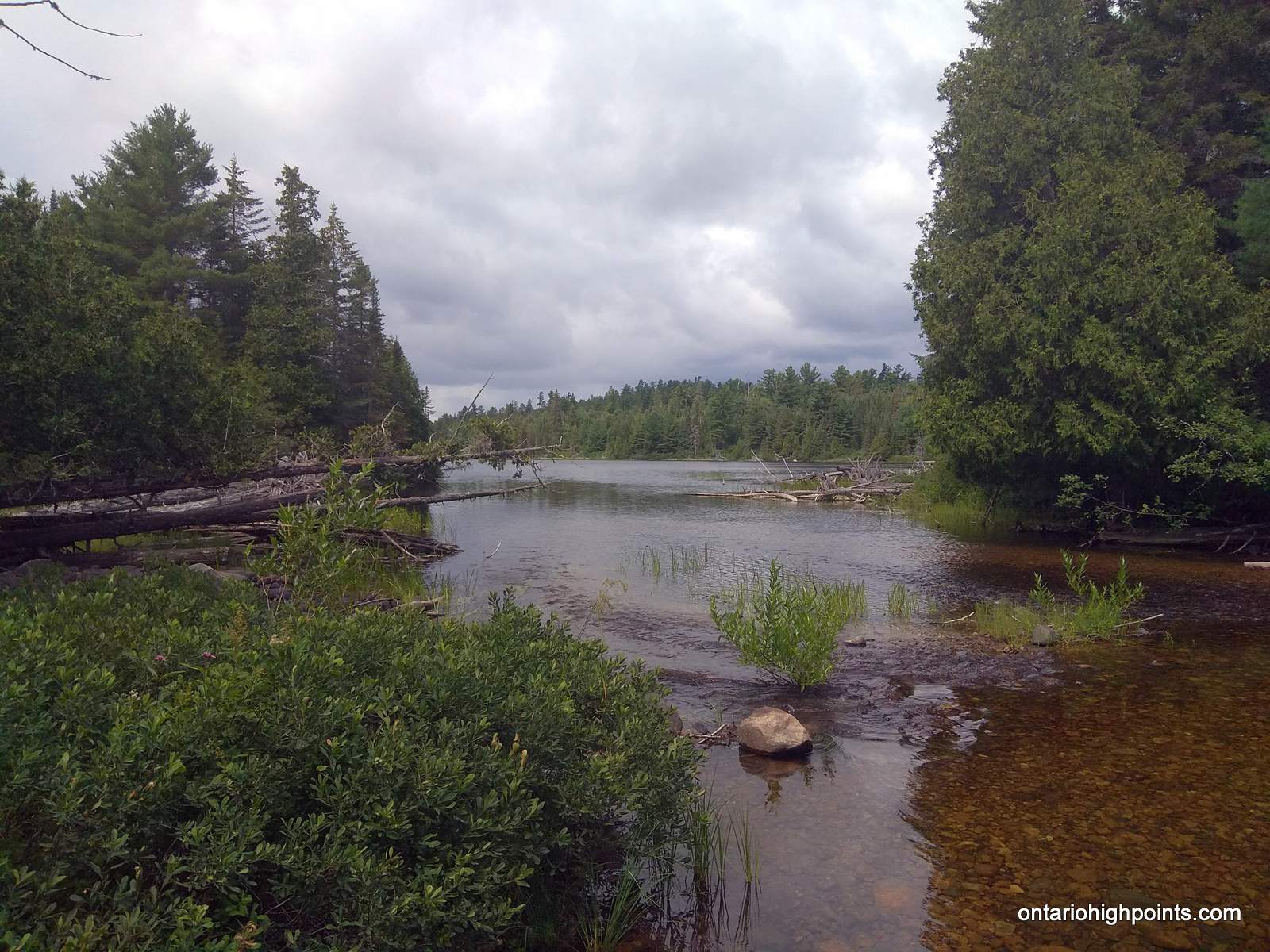
Just before reaching the Sturgeon River, there is a large flat area (old gravel pit) which can easily handle group camping. It is also possible to camp at the river. Signs are posted when crossing the provincial parks boundary. If camping the provincial park, a back country pass is be required.
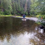
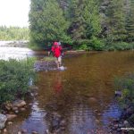
In most situations it should be possible to wade across the Sturgeon River, however strong currents in combination with high water levels can make the crossing hazardous. After crossing the Sturgeon River, stay on the main gravel road which meanders northward. This road can easily be biked, and if attempting to hike the Ishpatina Ridge and back in a single day, it is recommended to bring a mountain bike for this section.
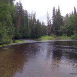
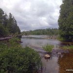
5.1 km from the Sturgeon, the road runs through Little Scarecrow Creek which connects Little Scarecrow Lake and Hamlow Lake. The shallow creek must be forded. The road passes near the eastern end of Stull Lake. At 1.4 km from Scarecrow Creek, the now dubbed herd path: The Ishpatina Ridge Trail branches to the right. If on a bike, stash the bike near the intersection here and follow the herd path on foot.
The “Ishpatina Ridge Trail” / herd path is well marked with flagging tape right to the summit. Since it’s not a formal trail, it is not maintained and can be difficult to follow in some sections due to blow-downs and other obstacles. The herd path starts on an old overgrown bush road which heads north. Follow it north for about 290 meters and turn east onto another bush path which branches to the right. Follow this path eastwards for 570 meters until reaching another fork — take the left fork. The trail past this last fork is a bit overgrown and passes through some marshy areas. Initially the herd path travels east, but after 0.5 km, the trail turns north. After another 0.5 km, the trail swings east-northeast for 1.4 km, steeply descends 125 feet and emerges onto the southwest shoreline of Scarecrow Lake.
The “Ishpatina Ridge Trail” / herd path heads northeast for 2 km, following the shoreline of Scarecrow Lake. Near the island, there’s a section of blow down — large red & white pine trees have fallen across the trail. If water levels are low on Scarecrow Lake, it may be possible to save time and energy by walking along the rocky shoreline. Once reaching the northwest shore of Scarecrow lake, the herd path passes a well-established campsite and meets up with the official Ishpatina Ridge Trail.
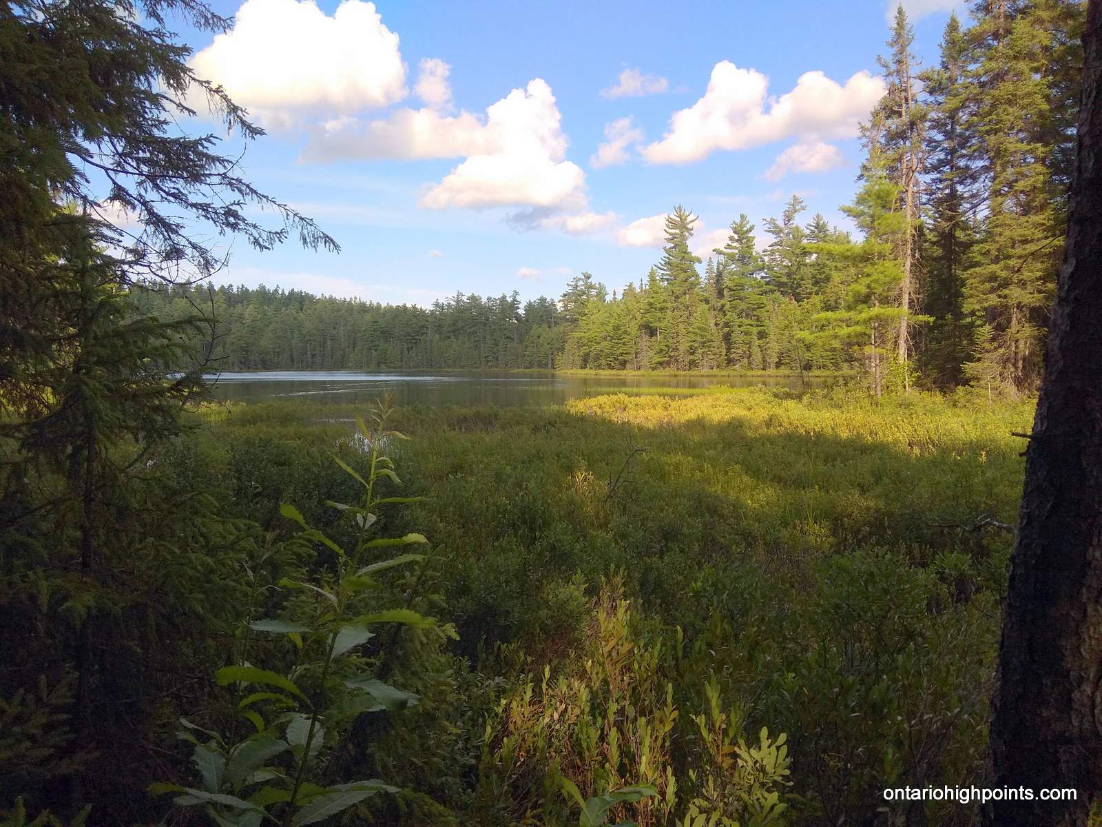
The 3.7 km trail to the Ishpatina Ridge – Fire Tower Peak begins near the campsite on Scarecrow Lake and ascends through an area regenerating from a recent bush fire — wild raspberries and blueberries are abundant here. The trail skirts a small lake and begins a moderate ascent northwards. About 1.7 km from Scarecrow Lake, the trail passes through a lowland marsh near a second lake along the trail. Logs and wood planks have been laid along the trail to make the passage across easier. Once crossing the marsh, the trail begins to climb more steeply for 0.7 km.
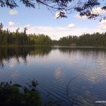
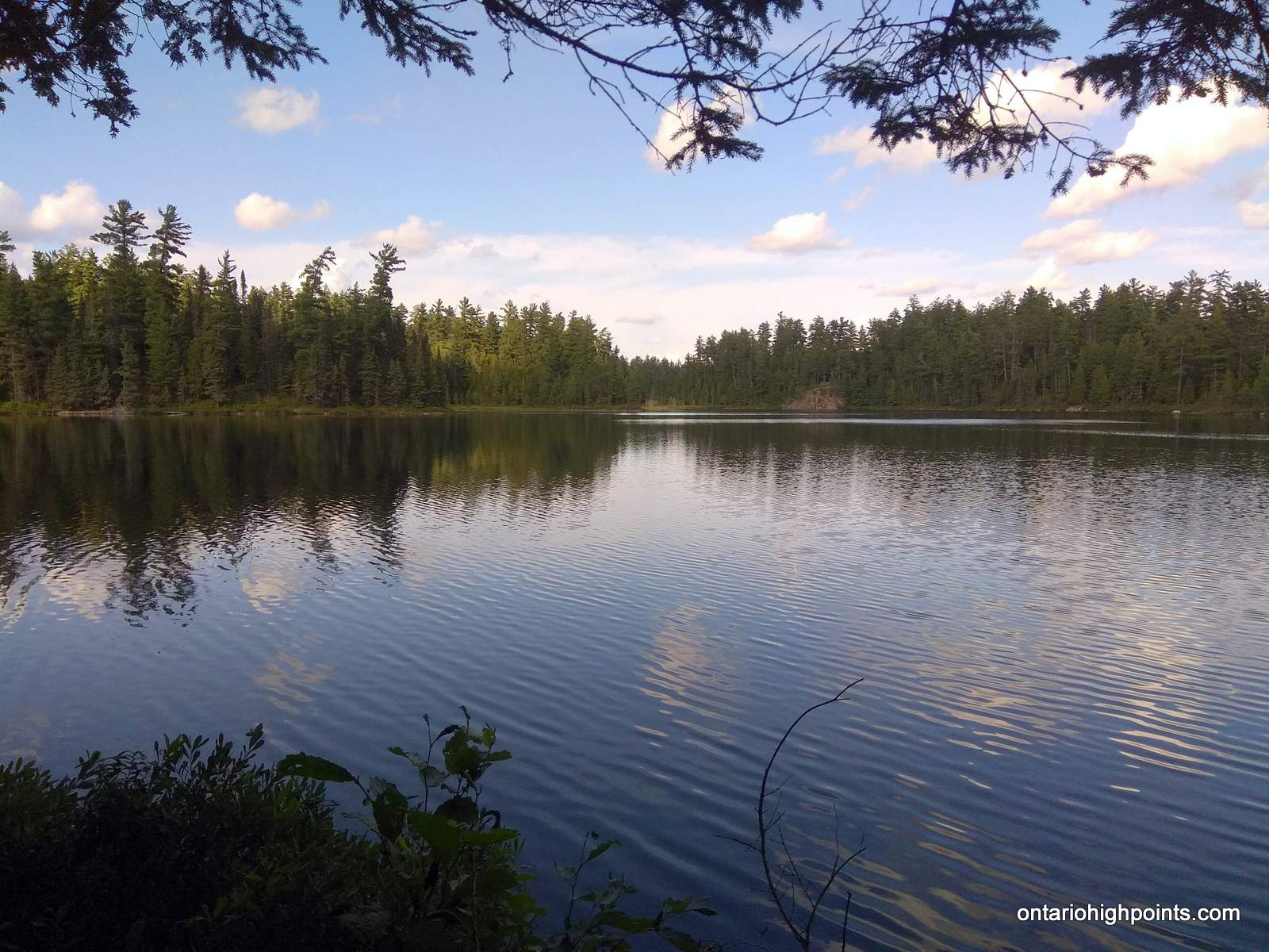
2.4 km from Scarecrow Lake, the trail gains the top of a ridge. The trail then descends slightly to Dick Lake, the third and final lake on the route to the summit.
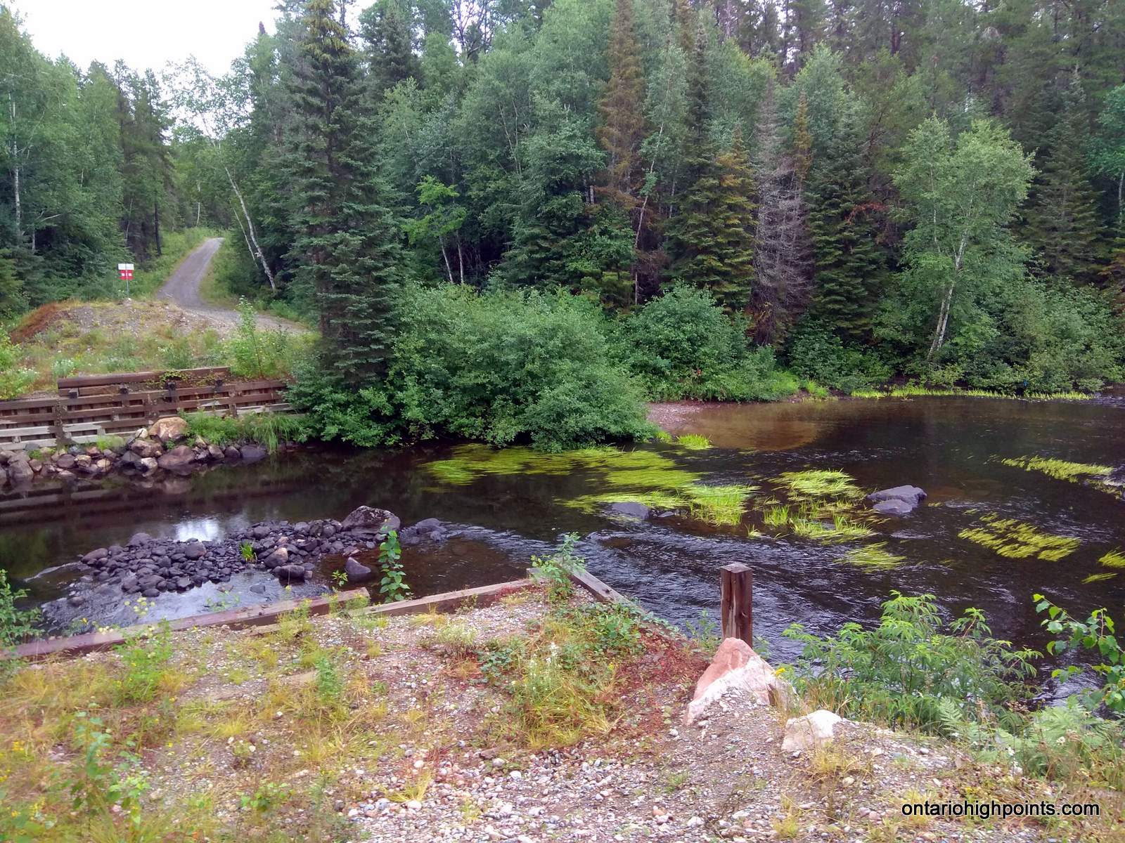
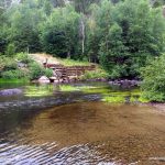
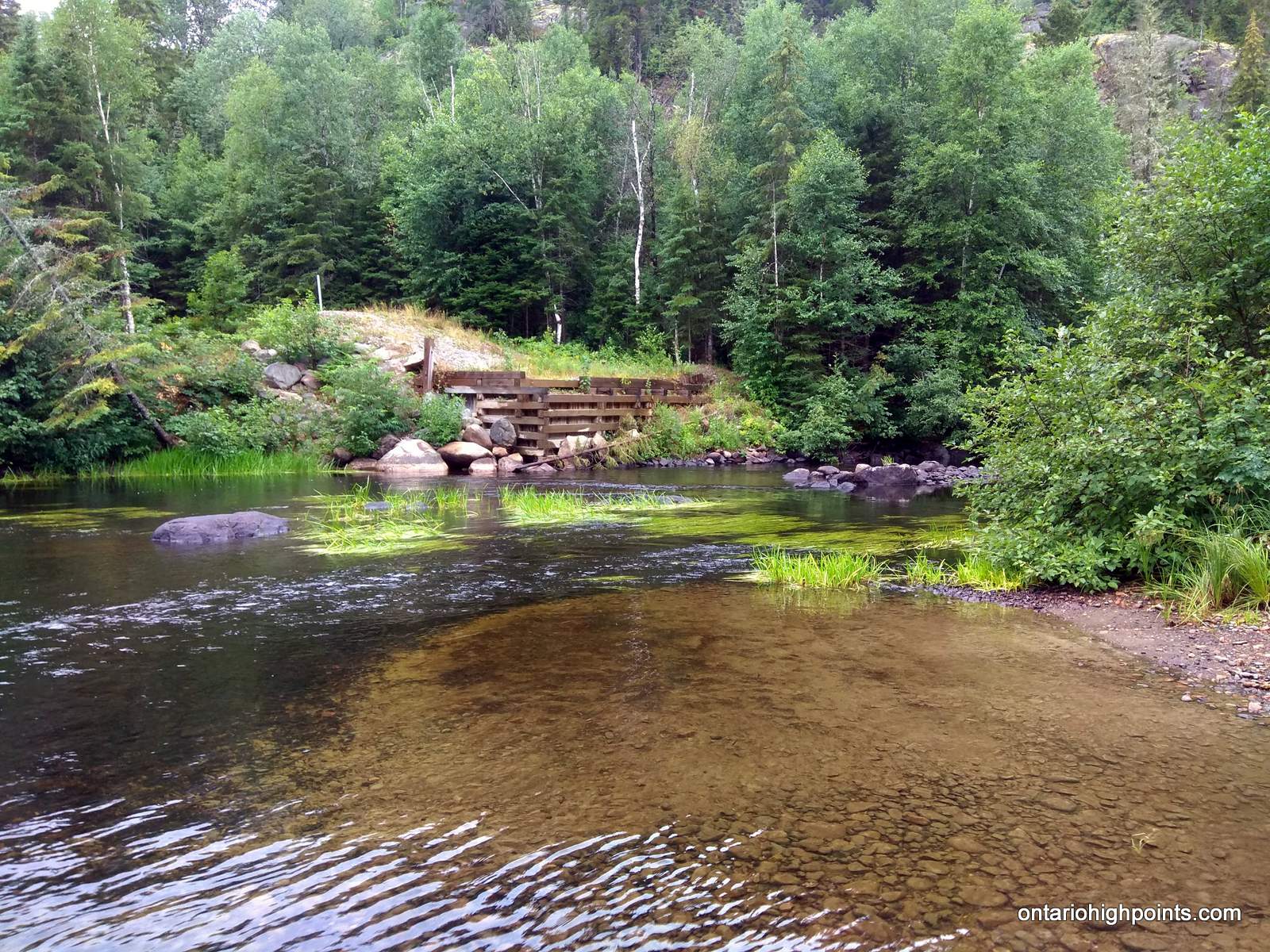
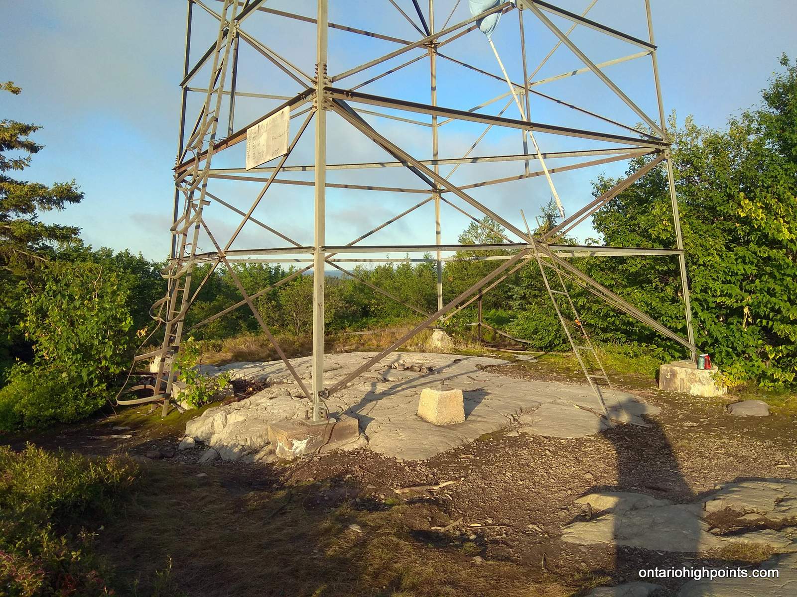
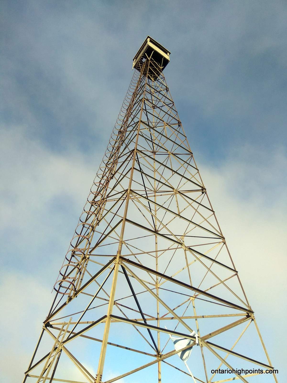
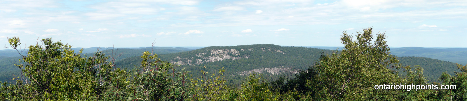
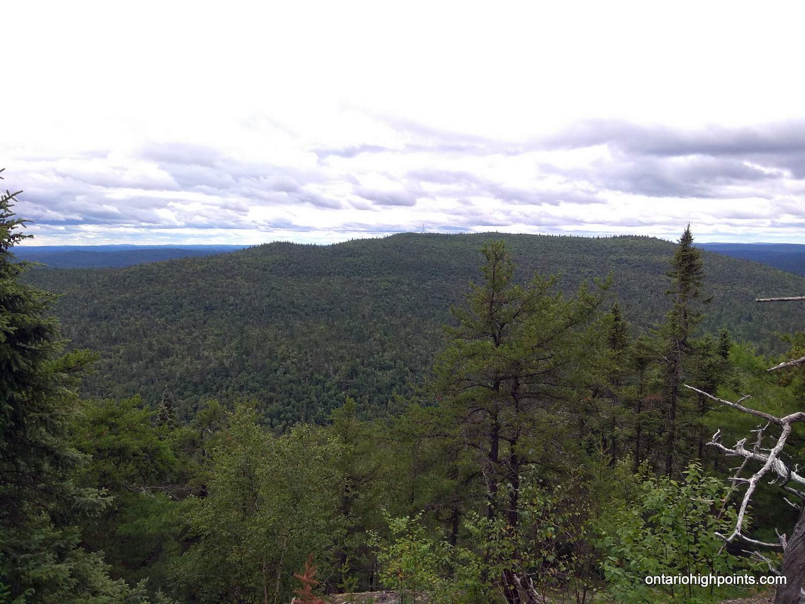
After crossing an overgrown grassy dam (beaver or manmade?) at the east edge of Dick Lake, the remaining 1.1 km of trail ascends almost 500 feet to the summit. Closer to the top, the firetower at the summit will come into view. A large boulder hidden by thick bushes at N47.31670 W80.74884, 50 meters from the base of the tower may be the highest point on the summit. At the base of the tower, there are good views towards the North and South peaks.
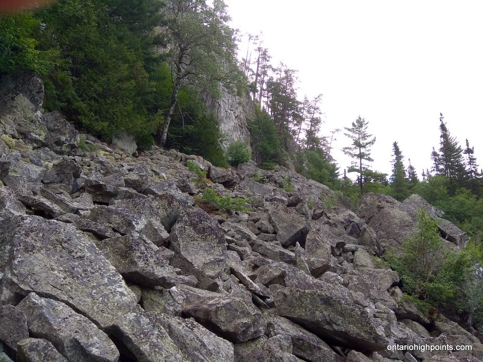
The remaining distance to Ishpatina – North Peak has to be bushwhacked. It’s about 4.1 km one way to the Peak. Since a direct approach to the North Peak is hindered by steep cliffs which guard it’s southern slopes, one must ascend via a chute / drainage which bottoms out at N47.33409 W80.74295, near one of the many talus fields. This route was initially outlined by Michel W. and Serge Massad.
From Ishpatina – Fire Tower Peak, set off on a roughly 14 deg true / 20 deg mag course towards the drainage. There is an initial steep drop off of Ishpatina – Fire Tower Peak, but the descent soon becomes more moderate. After traversing about 1 km and descending 600 feet, you will reach the bottom of the “Ishpatina Canyon”. There are a series of small hills and valleys that have to be crossed for 1.4 km before reaching the far edge of the Canyon and the beginning of the steep ascent up Ishpatina – North Peak.
At N47.33409 W80.74295 begin the ascend of the drainage/notch. To the east there is a talus field at the bottom of the steep cliffs. It’s a short but steep bushwhack up the notch. Once the cliffs become manageable climbs, turn east and ascend to the summit area. Head 295 deg true / 305 deg mag for 700 meters to N47.33296 W80.73357, which is highest point on the summit.
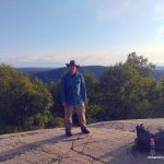
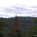
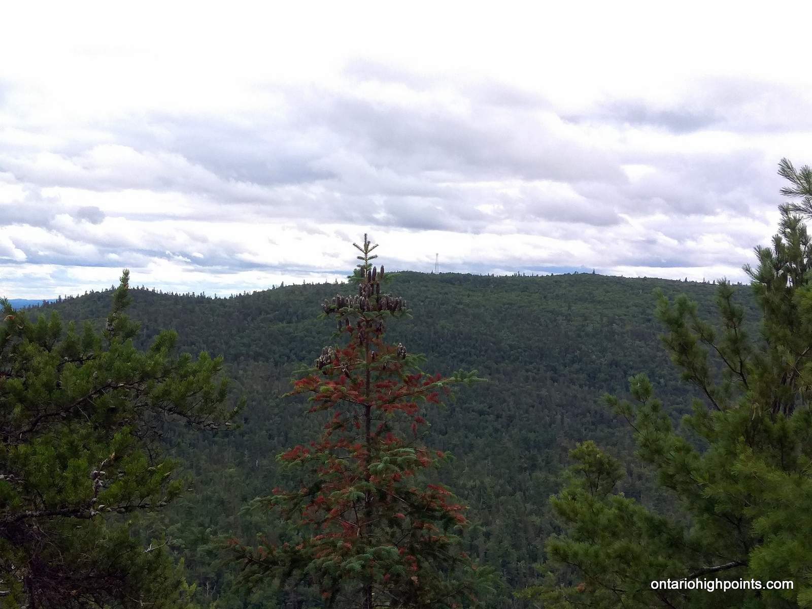
The summit of Ishpatina – North Peak is among a grouping of trees. There is no view here, but if you travel south to N47.33199 W80.73425, there is a good view towards Ishpatina – Fire Tower Peak.
View a larger version of the map
Trip Summary:
Day 1 – August 8, 2019
00.0 km – Turned off of RR-84/Hwy 545 onto Portelance Road (9:00 AM)
05.0 km – Turned left (stayed) on Portelance Road (9:05 AM)
25.1 km – Turned right at fork (9:32 AM)
25.7 km – Crossed bridge over Wanapitei River (9:34 AM)
34.5 km – Turned right onto Stobie Road (9:51 AM)
40.0 km – Turned left onto Gervais Road (10:00 AM)
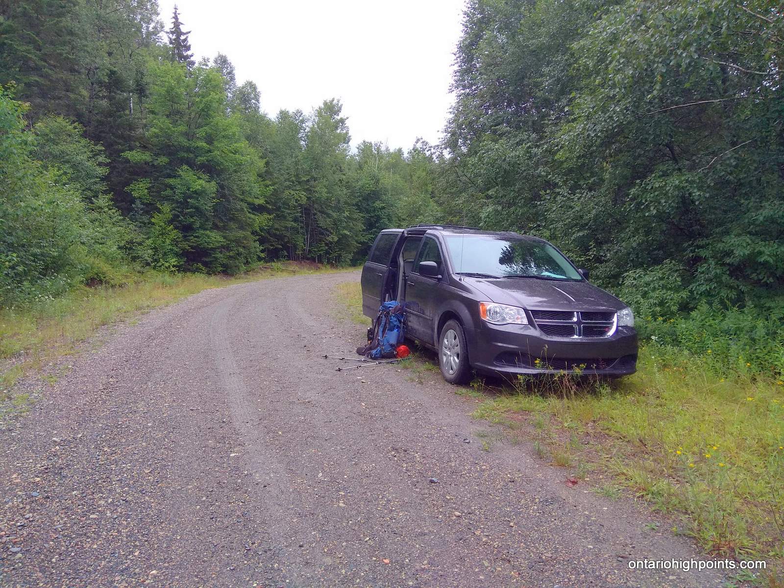
64.2 km – Arrived at Sturgeon River / roadside parking (10:44 AM)
00.0 km – Departed roadside parking / forded Sturgeon River (11:52 AM)
05.2 km – Arrived at Little Scarecrow Lake / Hamlow Lake / Creek crossing / campsite (1:09 PM)
06.6 km – Arrived at bush road turnoff / “Ishpatina Ridge Trail” (2:08 PM)
06.9 km – Turned right at bushroad fork (2:15 PM)
07.5 km – End of bushroad / start of herd path hiking trail (2:24 PM)
09.9 km – Reached shoreline of Scarecrow Lake (3:25 PM)
12.0 km – Arrived at Scarecrow Lake Campsite / Ishpatina Trailhead (4:46 PM)
14.6 km – Arrived at Dick Lake / Made camp (5:58 PM)
Day 2 – August 9, 2019
00.0 km – Departed campsite at Dick Lake (7:08 AM)
01.0 km – Arrived at summit of Ishpatina (Tower Peak) (7:32 AM)
01.0 km – Departed summit of Ishpatina (Tower Peak) (8:00 AM)
03.8 km – Arrived at base of cliffs of Ishpatina (North Peak) (9:54 AM)
05.0 km – Arrived at highest point on Ishpatina (North Peak) (11:17 AM)
05.4 km – Arrived at view point atop rock face on Ishpatina (North Peak) (11:55 AM)
05.4 km – Departed summit area / view point of Ishpatina (North Peak) (12:19 PM)
08.9 km – Arrived back at Ishpatina (Tower Peak) (3:12 PM)
10.0 km – Arrived back at Dick Lake / campsite (3:50 PM)
Day 3 – August 10, 2019
00.0 km – Departed campsite at Dick Lake (7:30 AM)
02.7 km – Arrived at Scarecrow Lake / Ishpatina Trailhead (8:30 AM)
08.2 km – Arrived at logging road (11:00 AM)
09.6 km – Arrived at Scarecrow Creek crossing (11:21 AM)
14.5 km – Arrived at Sturgeon River / roadside parking (1:21 PM)
00.0 km – Departed Sturgeon River / roadside parking (1:50 PM)
23.9 km – Right turn onto Stobie Road (2:50 PM)
29.5 km – Left turn onto Portelance Road (2:58 PM)
64.2 km – Arrived at RR-84/Hwy 545 (3:50 PM)
Gallery:
-
- Portelance Road
-
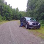
- Roadside Parking Near the Sturgeon River
-

- Sturgeon River
-
- Bridge removed at Sturgeon River
-
- Fording the Sturgeon River
-
- Sturgeon River Crossing
-
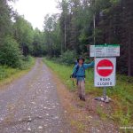
- Sign: Road closed to unauthorized vehicles
-
- Sign: Provincial Park Boundary
-
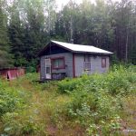
- Camp just outside the provincial park boundary
-
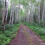
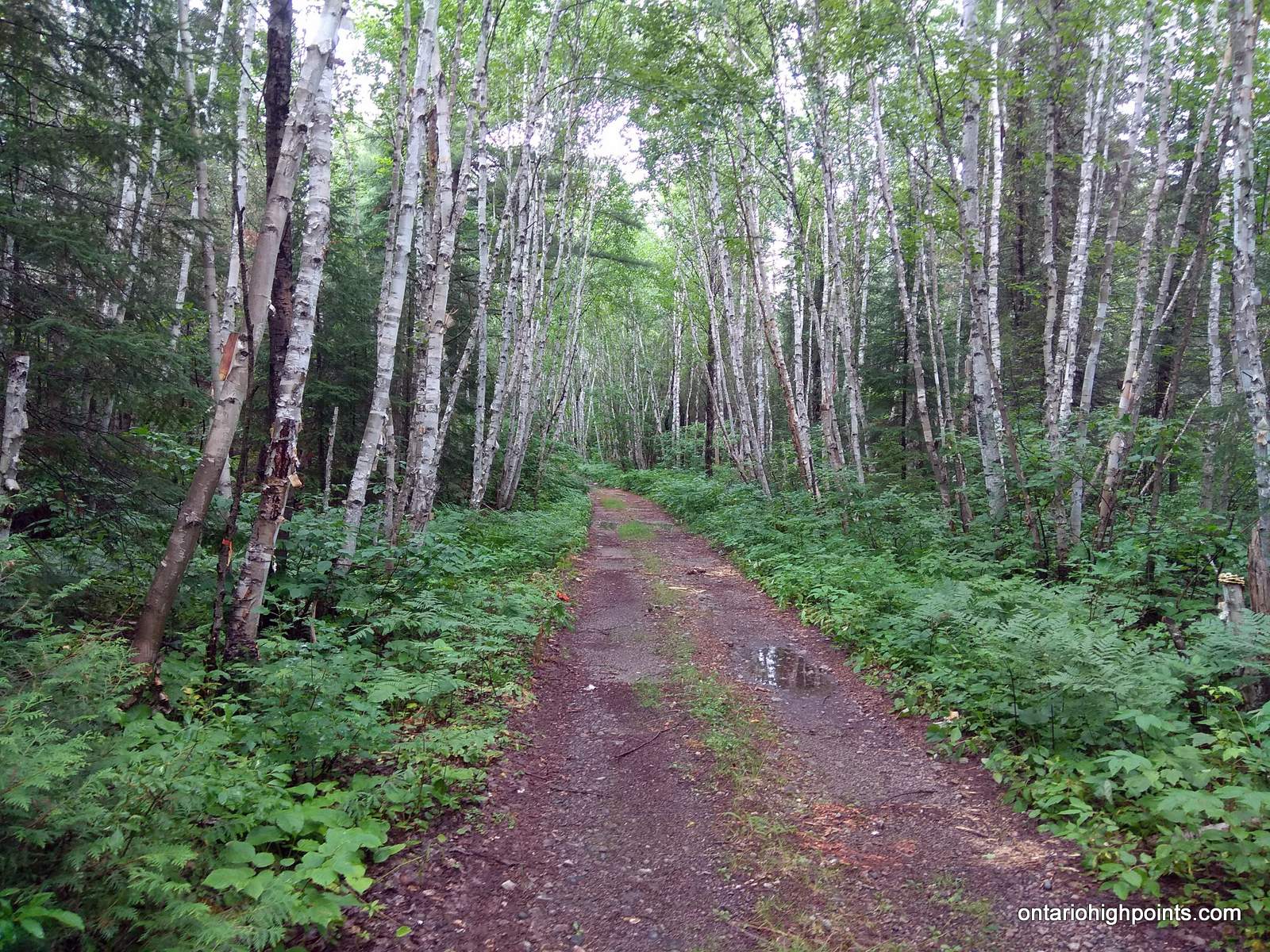
- Birch lined road
-
- Little Scarecrow Lake
-
- Hamlow Lake
-
- Ben fording Little Scarecrow Creek
-
- Start of the “Ishpatina Ridge Trail” / Bush Road
-
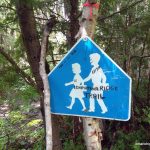
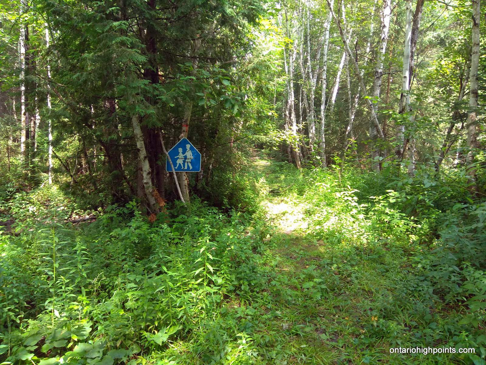
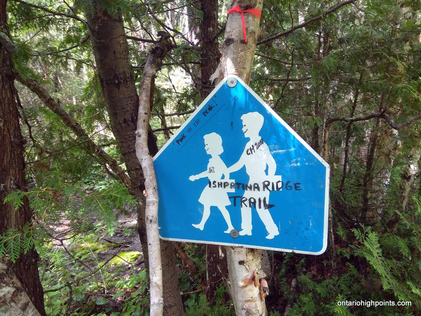
- Sign: “Ishpatina Ridge Trail – Pink to the Peak”
-
- Reached the shore of Scarecrow Lake

-
- Scarecrow Lake campsite occupied
-
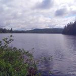
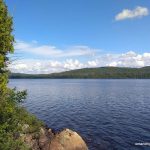
- View from the campsite on Scarecrow Lake
-
- 1st unnamed Lake on ascent of Ishpatina Ridge
-
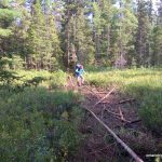
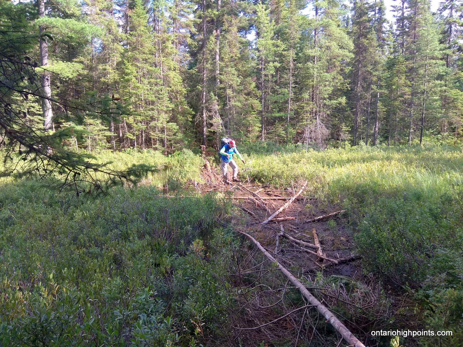
- Ben crossing a muddy bog
-
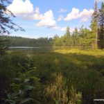
- 2nd unnamed lake on ascent of Ishpatina Ridge
-
- Dick Lake
-
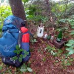
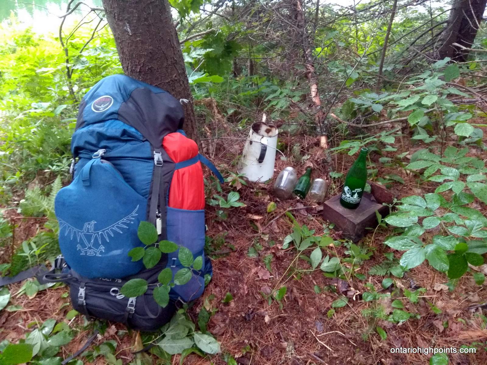
- Found old artifacts strewn around my campsite
-
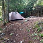
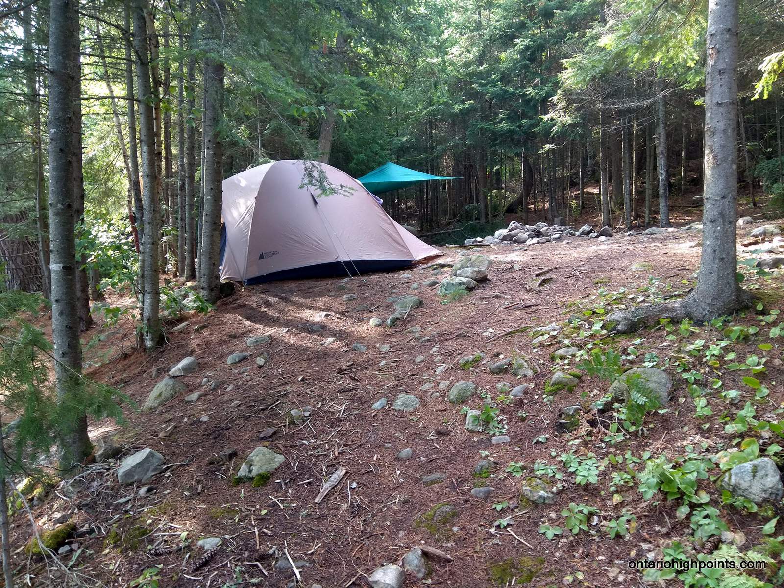
- Camping between the pines on Dick Lake
-

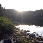
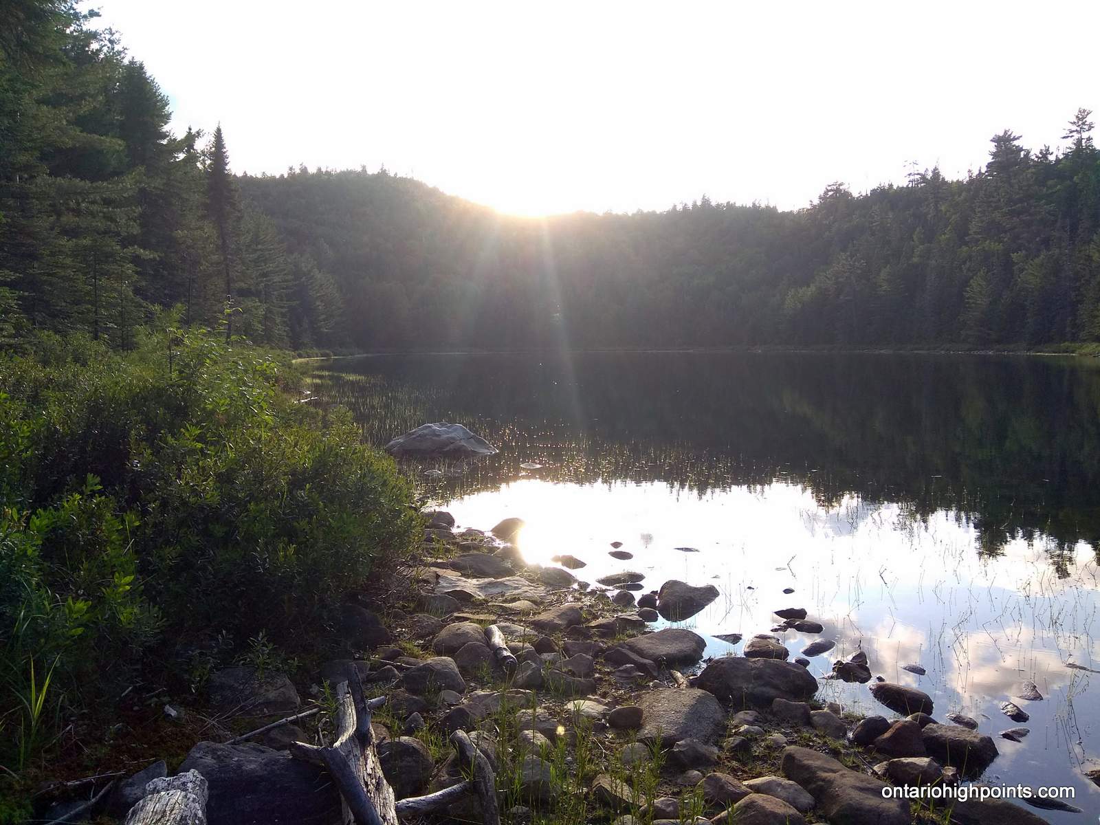
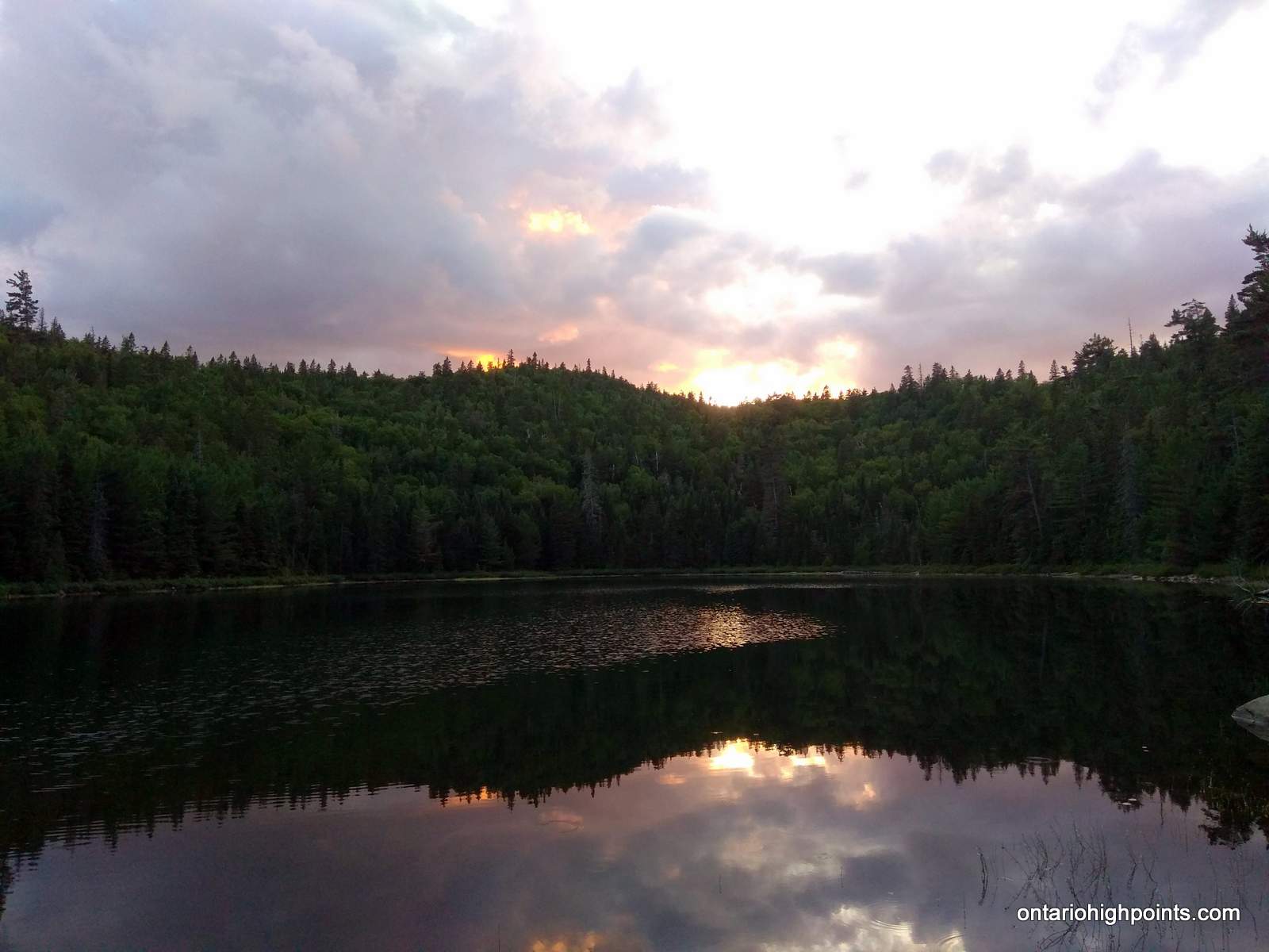
- Sunset on Dick Lake
-
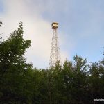
- First peek of the Ellis Fire Tower on Ishpatina
-
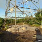
- Base of the Ellis Fire Tower on Ishpatina
-
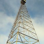
- Ellis Fire Tower
-
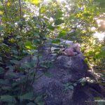
- Highest point on the Ishpatina Ridge
-
- At the summit, Ishpatina North Peak in background
-
- View of the North Peak of the Ishpatina Ridge
-
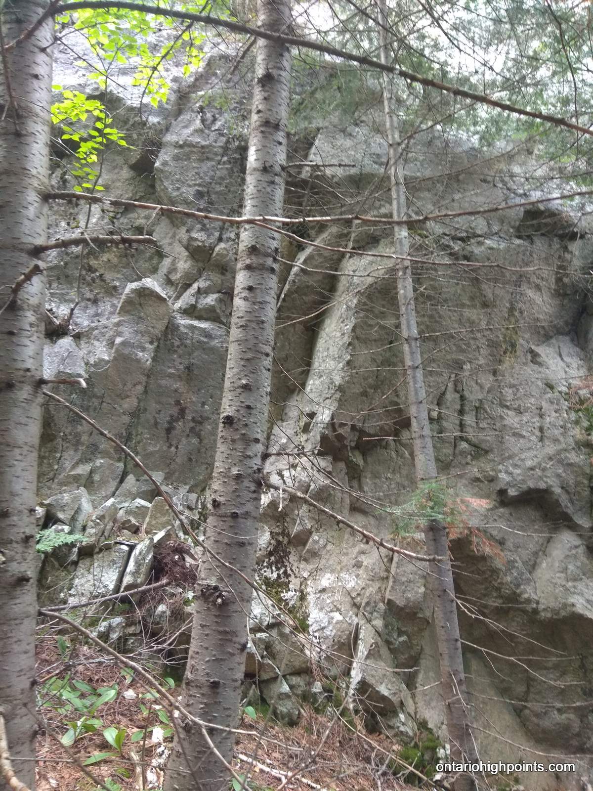
- Looking up at the cliffs on Ishpatina North Peak
-
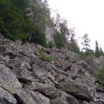
- Talus field at the base of Ishpatina North Peak
-
- Ascending Ishpatina North – Looking back at the Ellis Fire Tower

-
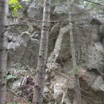
- Encountered many cliff faces during the ascent
-
- Clearing near the top
-
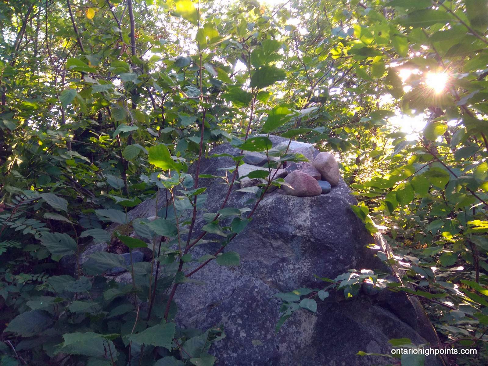
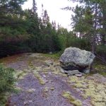
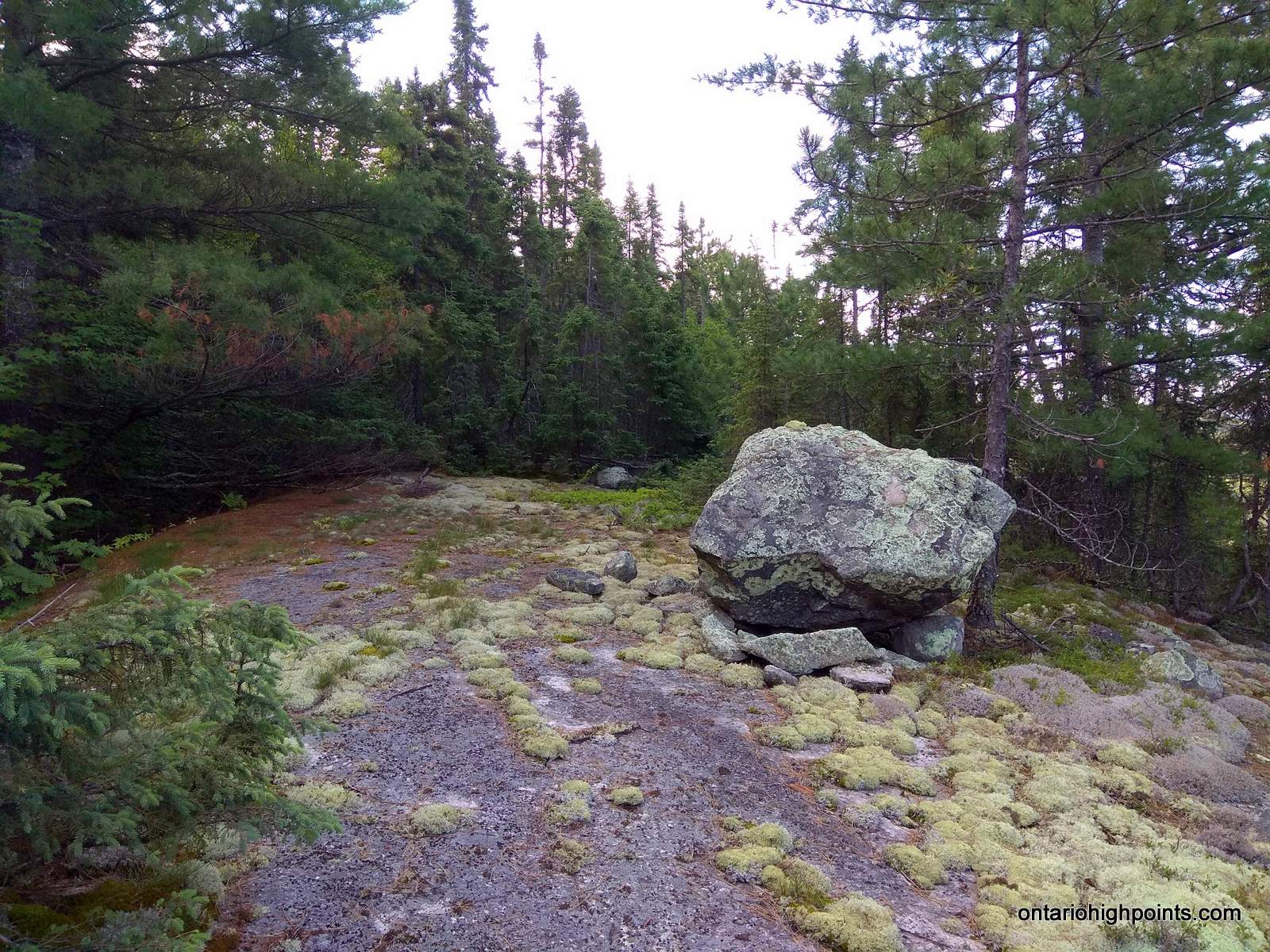
- At the Highest point on Ishpatina North Peak
-
- View of Ishpatina Tower Summit
-
- View of Ishpatina Ridge Tower Summit
Trip Report:
Day 1 – August 8, 2019
I had emailed Ben back in April regarding a trip to the North Peak of Ishpatina. This was one of the Ontario County High Points (CoHPs) he was missing — the last difficult one for him to complete. I was interested in retracing the route Michel W. and Serge Massad had used to visit the peak in 2017. We decided upon a 3 day trip, with 2 nights camping out at Dick Lake (unknown conditions) which would put us in a better position for the summit day, instead of camping out at Scarecrow Lake (established campsite).
Ben picked me up in Sudbury, on the morning of Thursday, August 8th. There was a lot of rain and it didn’t subside until after 11:00 AM. The weather forecast called for rain in the morning, ending by 10 AM and for clear skies to follow for the rest of the 3 days. We would find this not be completely accurate.
The drive in was easier than expected, except for a couple of missed/wrong turns – one on the Falconbridge Hwy. due to me being distracted by conversation and not paying attention — the second, we initially turned off of Portelance Road onto Fire Lake Road / Sturgeon Arm Road as it looked to be the more major/well used road, but we quickly figured out this was not the right road and turned around. We arrived at the Sturgeon River where 2 other vans were also parked alongside the road. As it was still raining, we decided to wait it out in the van before proceeding. When the rain finally subsided and we geared up to head out.
Just before leaving the van, I discovered that my camera was broken. I had been using it fine before I left Sudbury, but now I was getting the dreaded Canon “Lens Error / Restart Camera” Error which I could not recover from. I was a bit disappointed by this and I couldn’t figure out why it happened. Even worse, this was the second time hiking with Ben that I had camera problems. Luckily I had my cell phone all charged up, which served as a suitable back up.
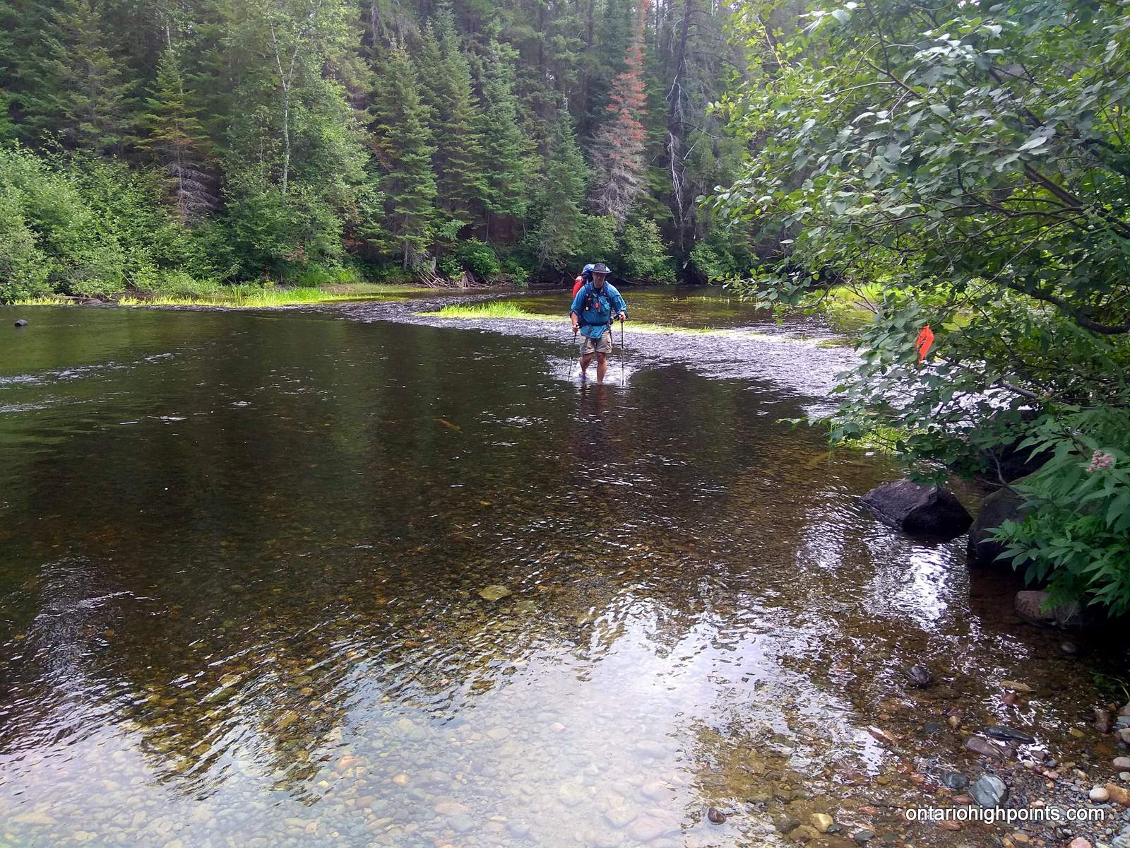
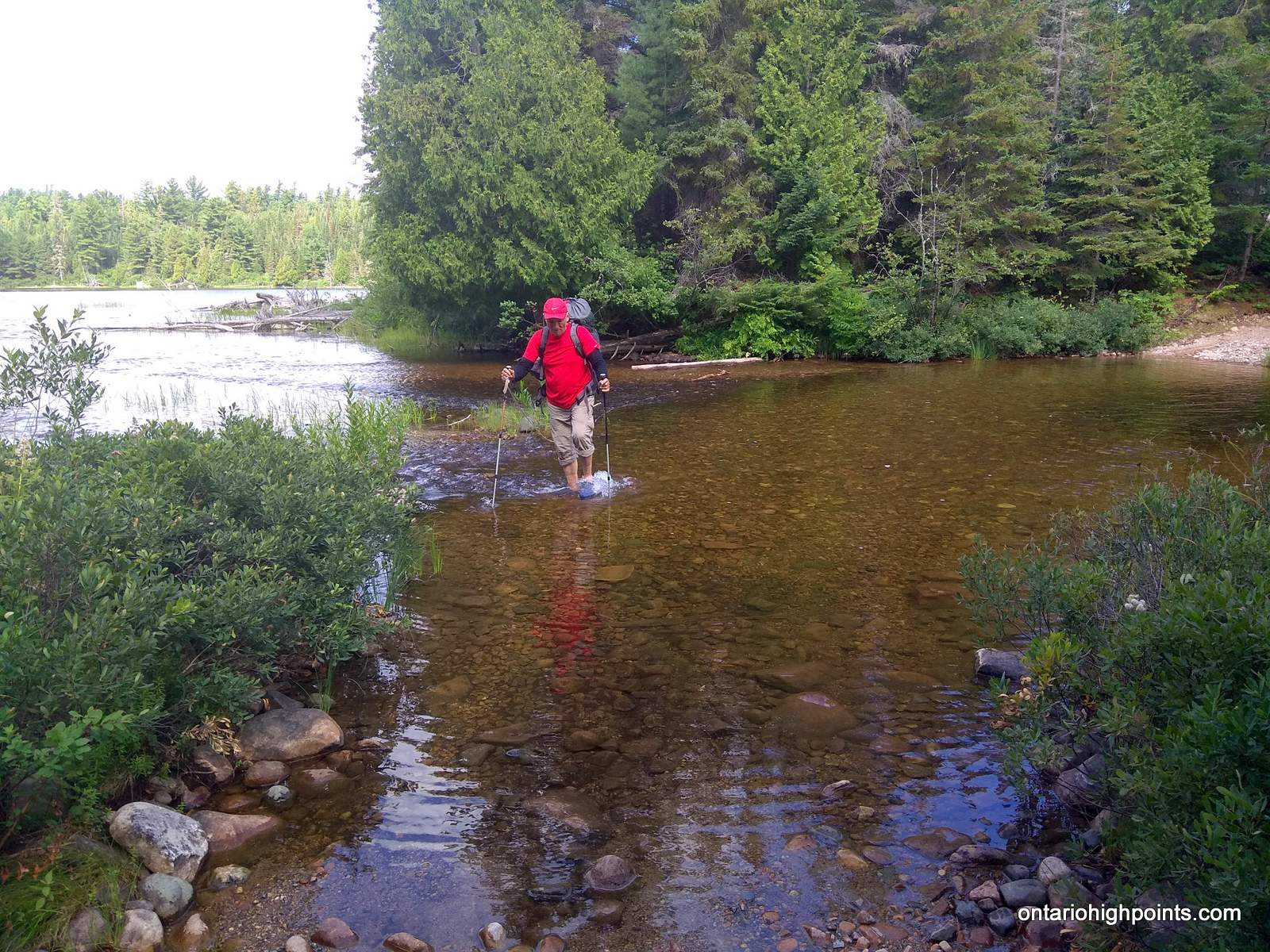
I put on my crocs and crossed the Sturgeon River. Water was only a few inches deep along the gravel crest in the river. Once on the far side, I laced up my boots and soon we were heading up the road. In this section the mosquitoes were terrible. Large clouds, 100 mosquitoes strong followed behind us. We dared not to stop which meant we made excellent time to the Hamlow Lake/Little Scarecrow Lake/Little Scarecrow creek ford.
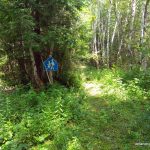
After re-equipping my crocs I made the shallow ford across the creek. Hoping for a bridge over this creek, Ben had left his water shoes back at the Sturgeon, so I roped up my crocs on the far side of the creek and he was able to retrieve them by pulling the rope and the crocs back across. After putting our boots back on, we continued up the road and soon encountered the repurposed school crossing sign: “Ishpatina Ridge Trail – Pink to the Peak” at the bushroad turn off.
The trail/herd path was well marked and well travelled. Contrary to my previous visit the trail was flagged and navigable all the way to the official Ishpatina Ridge Trail at the Scarecrow Lake campsite. In a few sections, especially near the island on Scarecrow Lake, there were large fallen pine trees across the trail, which were tiring to go over/under. We passed the Scarecrow Lake campsite which was occupied and then reached the official Ishpatina Ridge trailhead.
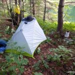
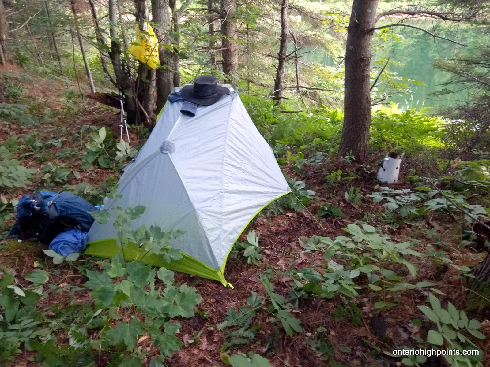
We started the hike up the official trail, passed by a couple with their dog who were camped back at Scarecrow Lake and then soon arrived at Dick Lake. We had some difficulty finding a couple of flat areas for our tents. We scouted some areas southwest of the lake and only found a few mediocre sites. I then scouted the northeast side of the lake, just past the overgrown dam and found remnants of a cabin, perhaps the forest fire ranger cabin. I would set up my tent on what appeared to be an overgrown refuse pile beside the cabin foundations, and Ben made his tent site between a grouping of large stones – perhaps the foundation of a building.
Day 2 – August 9, 2019
The next day we set off at about 7:00 AM and finished the rest of the ascent up to Ishpatina – Fire Tower Peak. We found the summit boulder in the bushes about 50 meters southeast of the summit. Someone had built a cairn on top of it. After a brief rest at the fire tower to enjoy the views and pick and eat some of the abundant blueberries, we set off through the bushes on our bushwhack to the North Peak.
After an initial steep drop, the descent down towards the canyon floor became more moderate. We were able to keep a good pace as the forest was only moderately thick. We passed through some fern glens which also made travel easier.
There was no defined ‘bottom’ of the canyon, it was just a series of small hills, some muddy bogs and a couple of small streams.
Once we crossed the canyon, we arrived at the edge of a talus field, large boulders which had fallen off the nearby cliffs.
In order to ascent the North Peak, we were looking for a drainage/notch to ascend instead of climbing up the steep cliffs which are abundant on the south slopes of the peak. I climbed the western edge of the talus field to the notch, but Ben avoided the talus field and made a steep bushwhack up through the forest to the west which eventually brought him to the same spot.
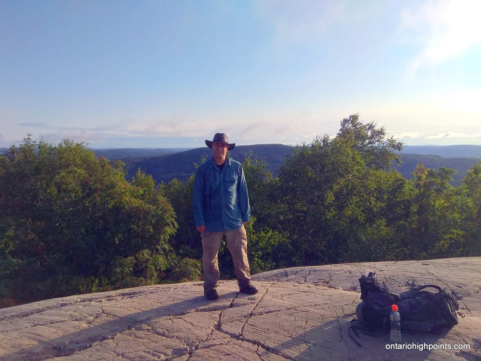
We continued our ascent north up through the notch until the cliffs to our right (east) became manageable climbs. Once we ascended the main cliff wall, we turned southeast and then made a series of small ascents up smaller cliffs faces until reaching a broad summit area. I found the highest point on the east side of the mountain, among a group of trees. We explored the summit area and examined a couple of other candidate high points, but after Ben consulted his hand level, we declared that N47.33296 W80.73357 was the highest point, the same point I had visited in 2010. Ben hung a summit canister with log book. Officially this was Ben’s 49th Ontario County High Point, as 2 of Ontario’s CoHP’s which Ben had already completed had been re-examined and a new spot selected. But with this one out of the way, he would have no trouble finishing the list.
We then set off to find a nice view. There was some confusion with my compass, as it seemed to be wandering a bit – which made we wonder if there was some metallic rocks in the vicinity affecting it. After a short bushwhack, we arrived at the top of some of the cliffs along the southern side of the mountain. We had good views back towards the Ishpatina – Tower Peak. We decided to take our break here and enjoy the views.
We had arrived at the summit at 11:20 AM and departed it at 12:20 PM. We retraced our steps back with only a couple modifications, which didn’t seem to make much of a difference. We made the steep descent back down notch to the canyon floor, crossed it and started the ascent back up Ishpatina – Tower Peak. It then began to rain. The rain only lasted for about 15 minutes, but that would be enough to guarantee we would get soaked on the remaining 0.5 km section of bushwhack for the day. I emerged back on the Tower Summit, tried to dry out in the wind and waited for Ben who was only a few minutes behind. We were getting chilled, so we didn’t stay long at the summit and headed back down the Ishpatina Ridge Trail to our campsite on Dick Lake.
We arrived back at our tents at about 3:50 PM. We changed our cloths and I tried to dry out my wet gear in the sun which popped in and out between the clouds. Ben had gotten a bit chilled on the final ascent so he opted for the warmth of his sleeping bag and fell asleep.
Day 3 – August 10, 2019
The next day we opted not to ascend Ishpatina – South Peak, as it had rained in the early morning and we didn’t want to bushwhack through the wet understory again. I had already climbed it in 2010, and so it was an optional climb for me and Ben who is primarily motivated by the County High Points (which the South Peak is not one of) wasn’t interested either, so we packed up our tents and headed out back down the trail to Scarecrow Lake.
We arrived back at the campsite on Scarecrow Lake to find the campsite empty. We retraced our steps back along the Scarecrow Lake shoreline, back to the overgrown bush roads and finally back to the logging road. A couple times it briefly rained and we sought shelter under some thick spruce bows. After we crossed Little Scarecrow Creek we met up with a gentleman in his jeep who was looking to summit Ishpatina the following day.
We continued back to the Sturgeon River where we encountered another group, presumable camp owners, crossing the creek in their pickup. We waved as they passed us and then we made our own river crossing, arriving back at Ben’s van at 1:20 PM.
The drive out was uneventful, the journey back along the logging roads to RR-84/Hwy 545 took us about 2 hours. Ben dropped me off in Sudbury which is where we said our goodbyes.
GPS Tracklog (GPX Format):