Seal Lake Peak
Posted by Derek on Sep 4, 2011
Ontario 2100 Footer Rank: 16
Height: 2116 feet / 645 meters
Lat/Lon: N46.9949 W83.6397
Clean Prominence: 676 feet / 206 meters
Line Parent: Ogidaki Mt
Key Col: N47 07.470 W83 54.824 (1440ft / 439m)
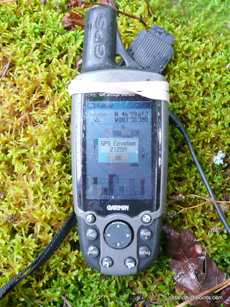
GPS recorded height: 2125 feet / 648 meters
Date Summited: August 13, 2011
Overview:
North of Ranger Lake in a remote corner of the Algoma highlands, Seal Lake Peak is one of three virtually unknown high points. It is thus named because of its close proximity to the lake bearing its name. There are no trails to the summit, however as there are roads and ATV trails in the area, it can be hiked in a day by bushwhacking from the closest trail approach.
Directions:
From the Sudbury region, make your way west along Highway 17. At Iron Bridge, turn right (north) onto 546 and follow it for 27 km until turning left (west) onto 554 for another 27 km. When the 554 ends at 129, turn right and follow Highway 129 north for 66 km to the turnoff to Ranger Lake at 556. Highway 556 is a gravel road which winds its way west to Ranger Lake, eventually ending at Highway 17 at Lake Superior. At the 12.5 km mark along 556, the Domtar Road will branch to the right. This is one way access the region around Seal Lake Peak, however just past Ranger Lake at the 34.6 km mark, the better maintained Laughing Lake Road branches to the right and makes it’s way north to the same area. Follow Laughing Lake Road north for 25 km until it ends at the Domtar Road. Turn right (east) onto Domtar road. There is a good campsite on Gravel Lake, just 1.8 km east of the intersection. There are another 2 campsites in the area, one of which lies in an old gravel pit at the east edge of the lake.
From these campsites, it is just a short hike along the Domtar Road to the start of the ATV trail at N47 01.412 W83 37.904, which leads to Seal Lake Peak. Follow the ATV trail south to Saw Lake which will require a water crossing as the trail has been flooded by the beaver dam / raised water levels. It is possible to avoid the water crossing, by skirting it along the western shore of the flooded lake. Rejoin the ATV trail and proceed south, passing 2 other lakes en route until arriving at a 4th lake, 3.2 km from Domtar road. Here the ATV trail ends and the remainder of the 1.0 km distance to Seal Lake Peak must be bushwhacked. Bushwhack up the gradually ascending slopes until reaching the hardwood forest near the summit. After crossing a fern covered glen, the highest point can be reached by ascending a moderately steep hump at the southern edge of the highest contour. A clearing atop a moss covered rocky area marks the highest point.
View a larger version of the map
Trip Summary:
0.0 km – Campsite on Gravel Lake
0.3 km – Turn off from Domtar Road onto ATV trail
3.2 km – ATV trail ends at lake. Start of bushwhack
4.7 km – Summit of Seal Lake Peak
Trip Report:
Departing Sudbury, Friday after dinner, Terry and I arrived at Gravel Lake in the late evening, after successfully navigating the final portions of the route along HW 129, HW 556 and the ill-maintained Domtar Road in the dark. We pitched our tents in an old gravel pit which was to be our basecamp for the next few days and even managed to scrounge enough wood in the dark to get a fire going. Over the next 4 days I was targeting to climb 3 of the peaks on my Ontario 2100 Footers list, starting with Seal Lake Peak which would be our next day’s goal.
We awoke the next day to a cloudy morning which threatened rain. The weather forecast for the next few days had repeatedly changed and I really didn’t know if it would rain or not, so we decided to brave it out and left camp at 9:00 AM. We walked to the start of an ATV trail 300 meters east of our campsite and plunged into the forest.
After a short distance along the ATV trail, we arrived at the shores of Saw Lake. Much of the area, including the ATV trail near the lake was flooded out, probably due to the beaver dam built beside the trail. After skirting a flooded section along the western shore, we arrived at a second larger flooded area. I had brought some water shoes for the water traverse and made my way across, through the thigh deep water. Terry decided to bushwhack around the edge of the lake/swamp instead as water level was higher than his rubber boots. We rejoined the trail southwest of the lake just as it started it rain.
The rain didn’t let up and it gained intensity as we made our way south along the ATV trail. Although there were a few downed trees across the trail, it was in good condition. The abundance of used shotgun shells along our route was evidence this trail was used for hunting and it would probably see some maintenance in the fall.
We passed by 2 more lakes until arriving at a 3rd unnamed lake. We looked for the presence of a structure which was marked on my OBM maps (Ontario Base Maps), but we didn’t find anything in the driving rain. However, among the bushes near the lake, we did find an overturned rowboat which looked to be in working order. According to the OBM maps the trail continued beyond this lake, however we also found this not to be the case, as there was no sign of the trail beyond the lake. We would finish our hike to Seal Lake Peak by bushwhacking the last 1.0 km to it.
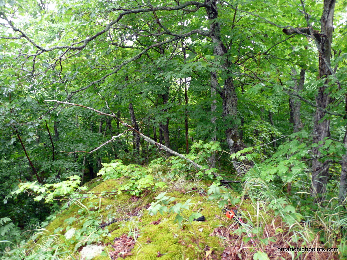
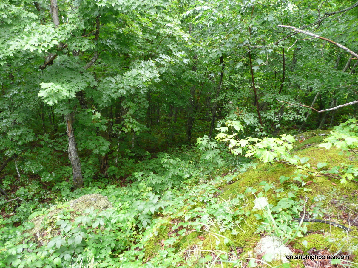
On the gradual ascent, we passed through a mix of forests; tangled undergrowth near the lake edge, dense evergreen forests and finally, open hardwood forests at the higher elevations. We passed through a fern glen under a canopy of maples and then up the last short, but steep ascent to the highest hump on the summit.
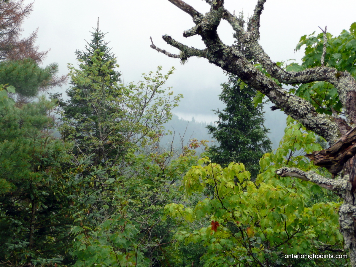
We found the highest point to be atop a moss covered rocky area and took GPS measurements and summit photos. As there were no views at the summit, we explored the area and did manage to find limited views south from a position just south of the high point.
Since both Terry and I were soaking wet we only had a short break at the summit and then began our trip back down. With the constant rain, there was a lack of photo opportunities and lack of desire to stop until we were back at our campsite. After waiting out the rain in our tents, we were able to get a fire started so that we could dry out some of our clothing.
Gallery:
-
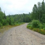
- Domtar Road
-
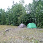
- Gravel Pit Campsite by Gravel Lake

-
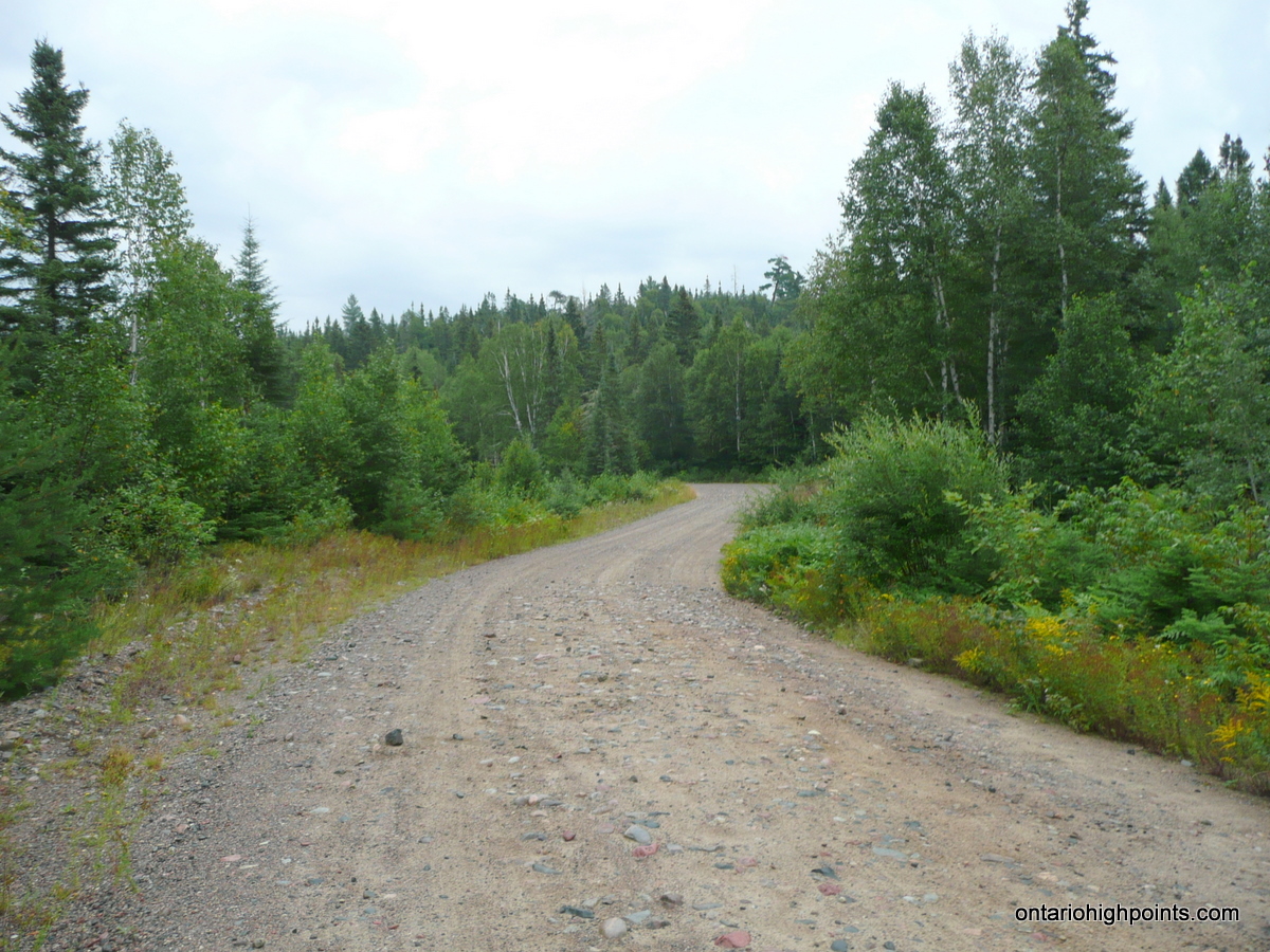
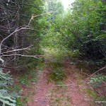
- Turnoff from Domtar Road onto ATV trail

-
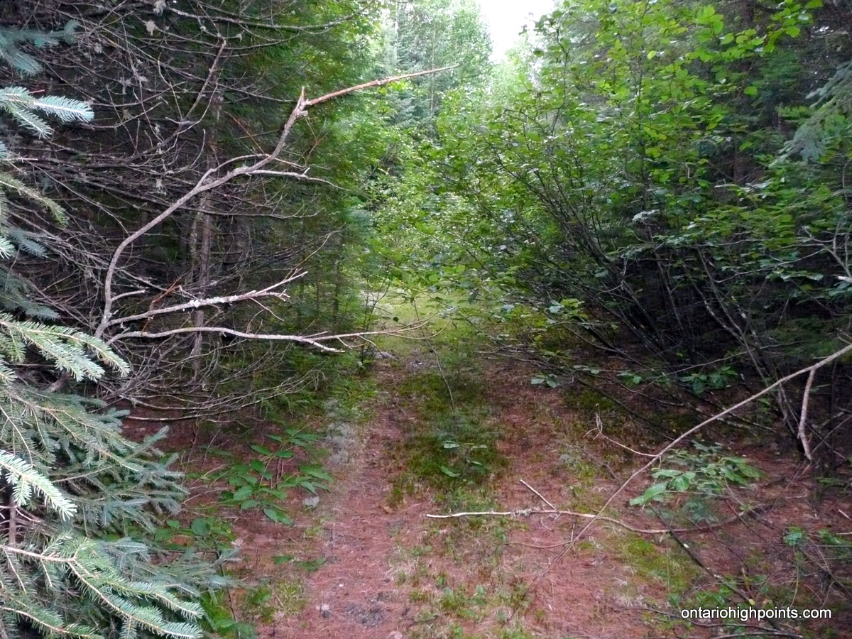
- Overgrown ATV trail
-
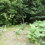
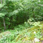
- Seal Lake Peak Summit
-
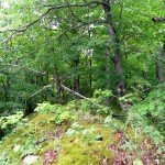
- Seal Lake Peak Summit Area
-
- GPS Elevation
-
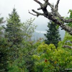
- View South from Seal Lake Peak
Seal Lake Peak GPS Track (.gpx format)
Related Links:
Seal Lake Peak on peakbagger.com